







Summit route to Gmeineck from Bergfriedhütte
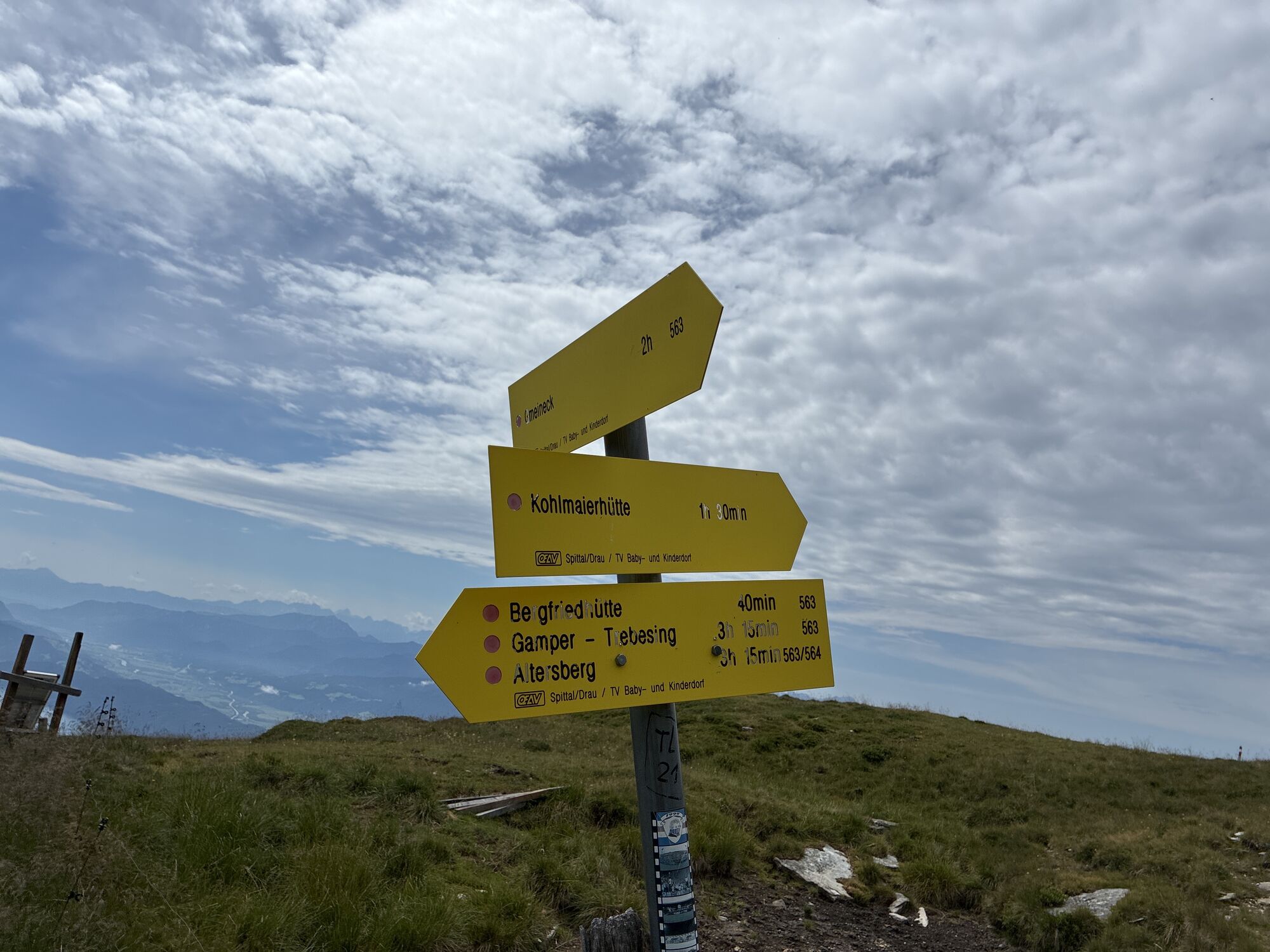
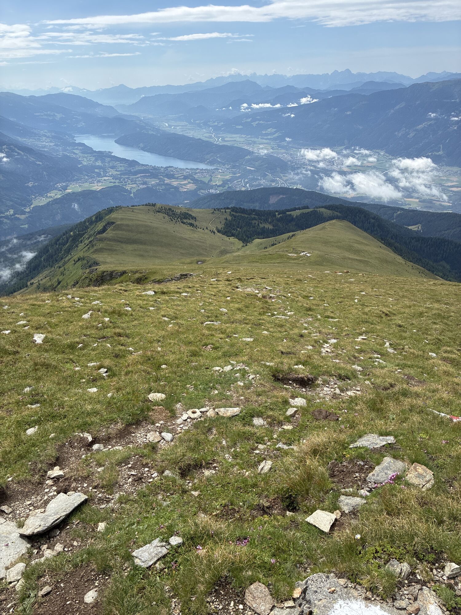
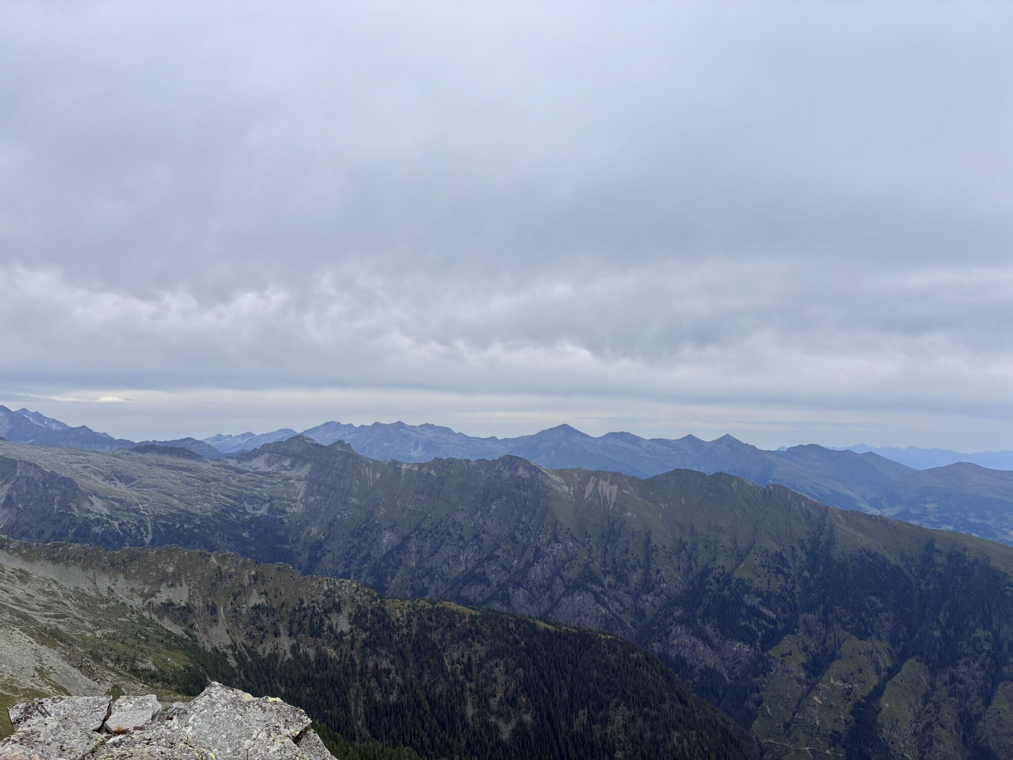
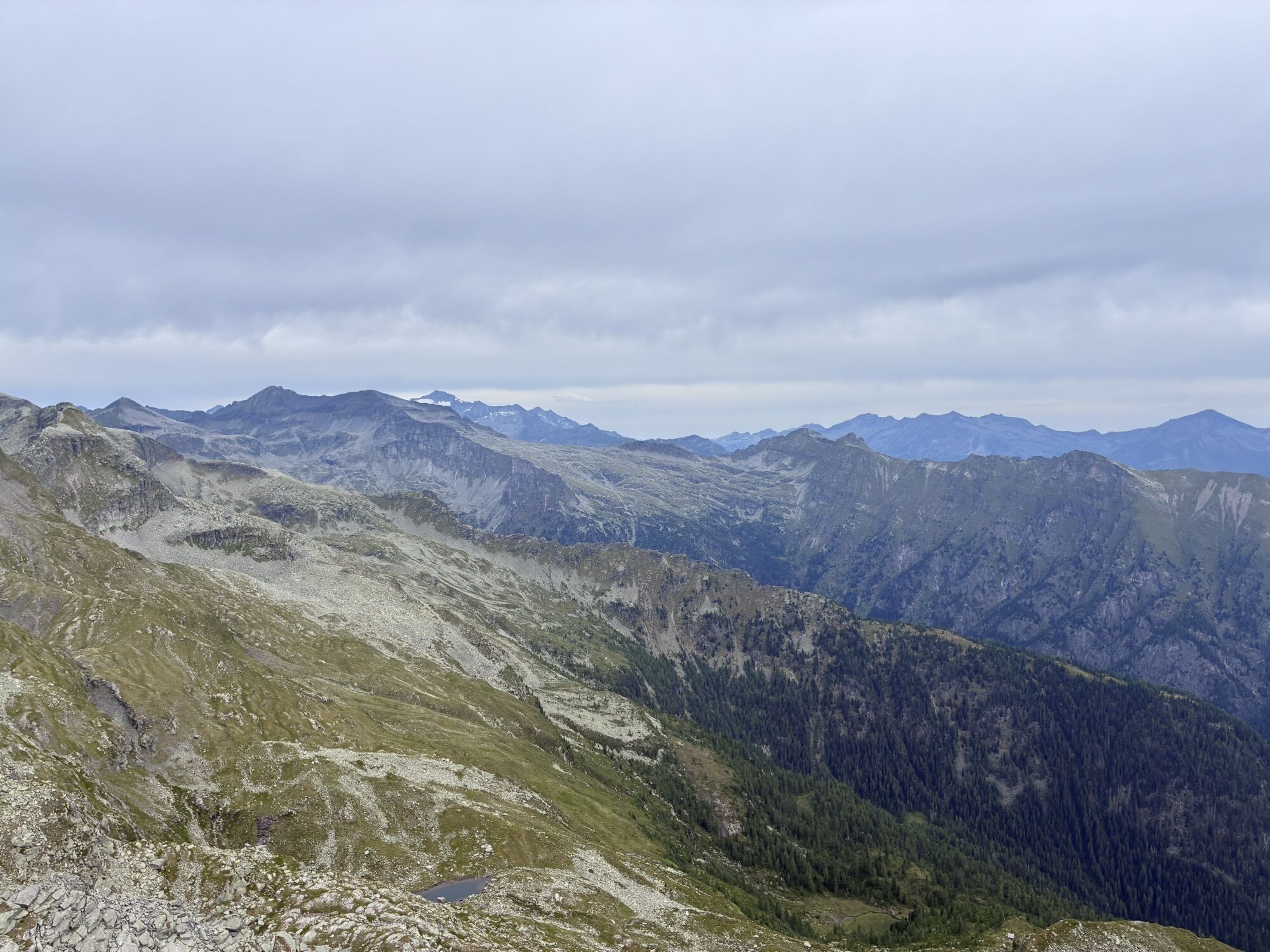
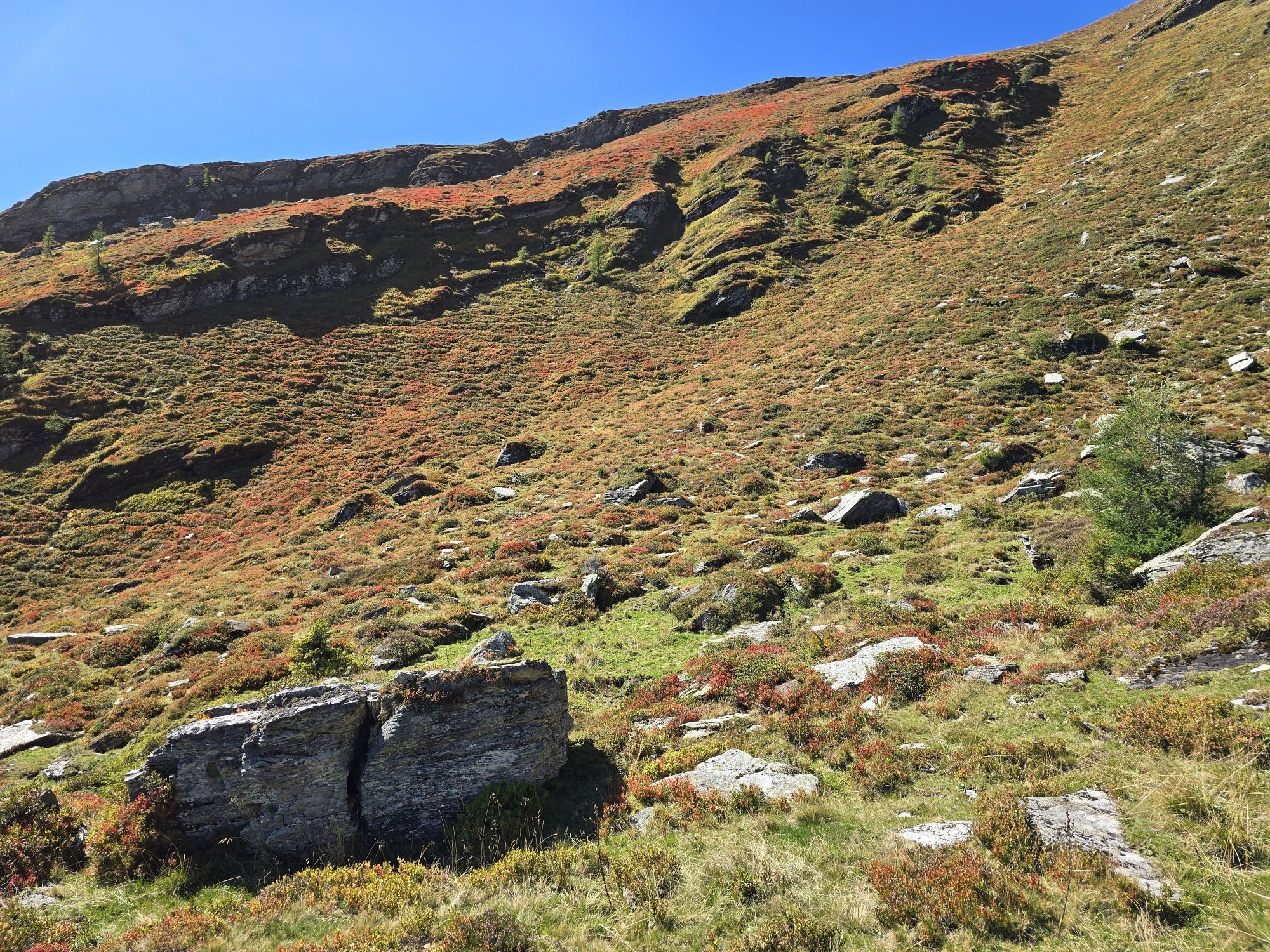
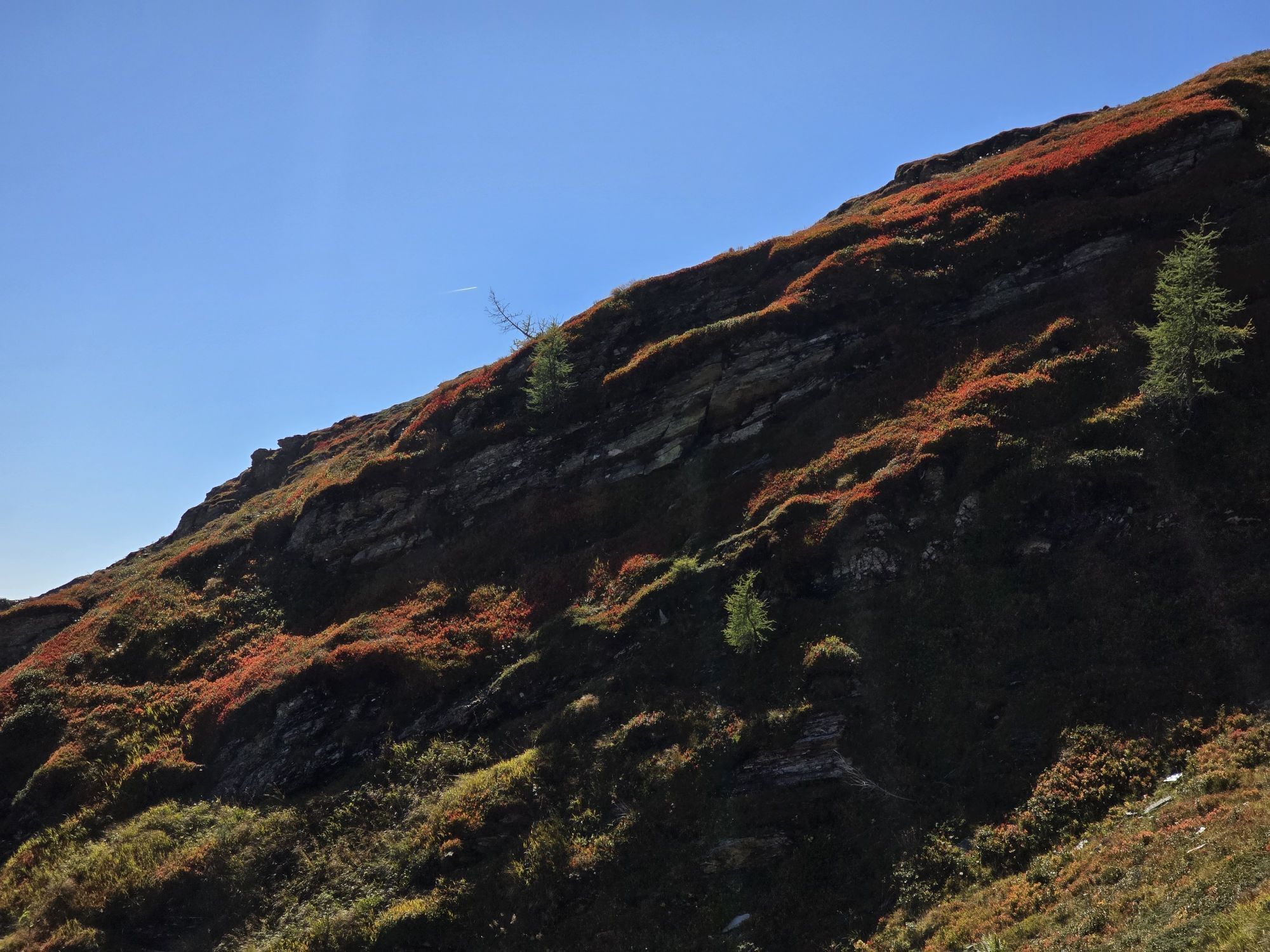
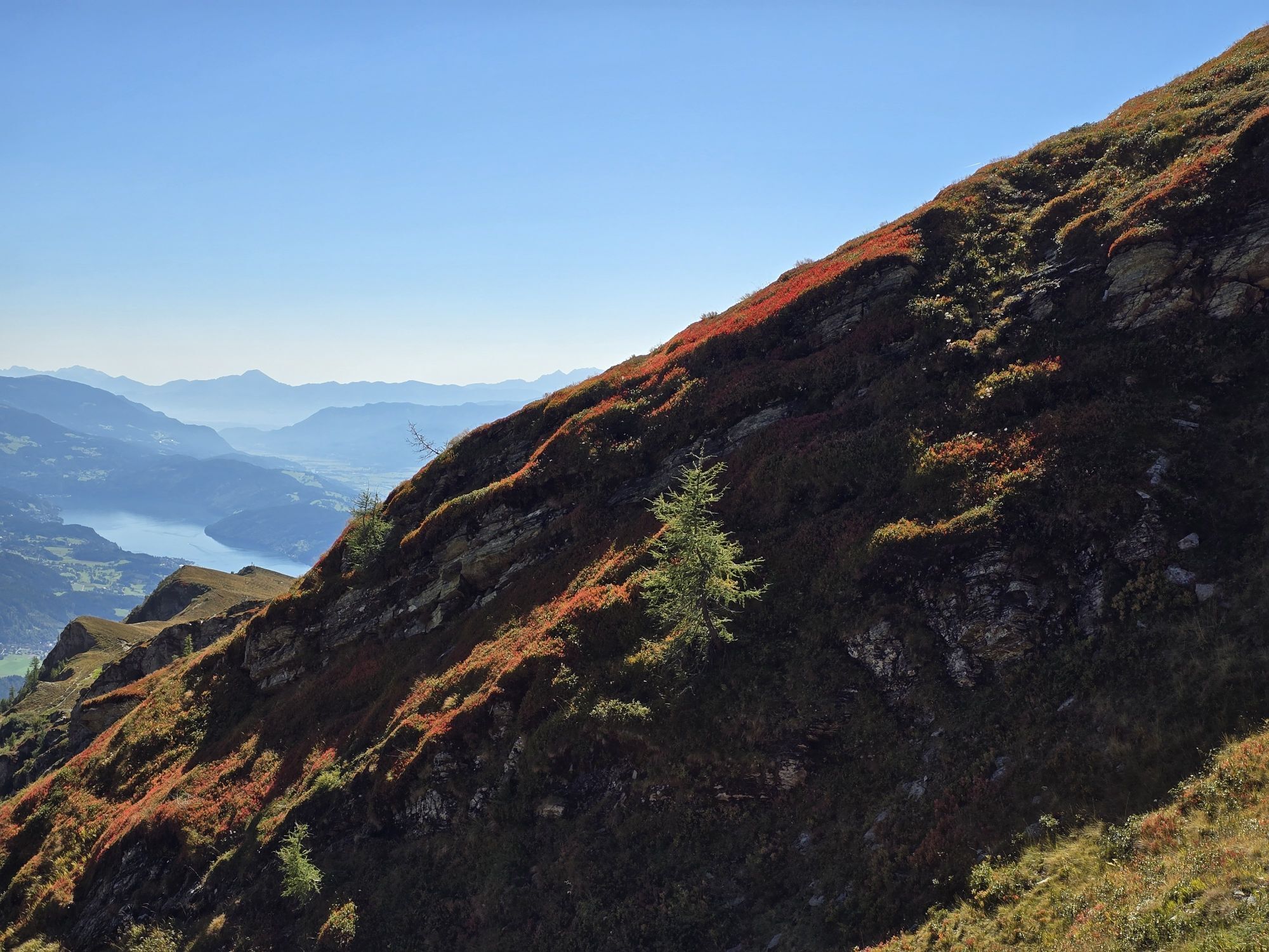
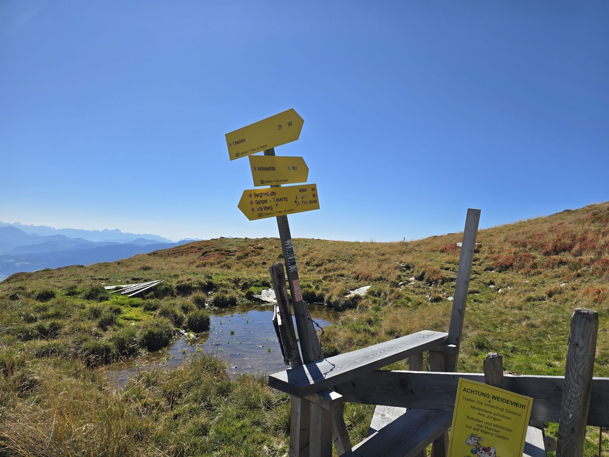
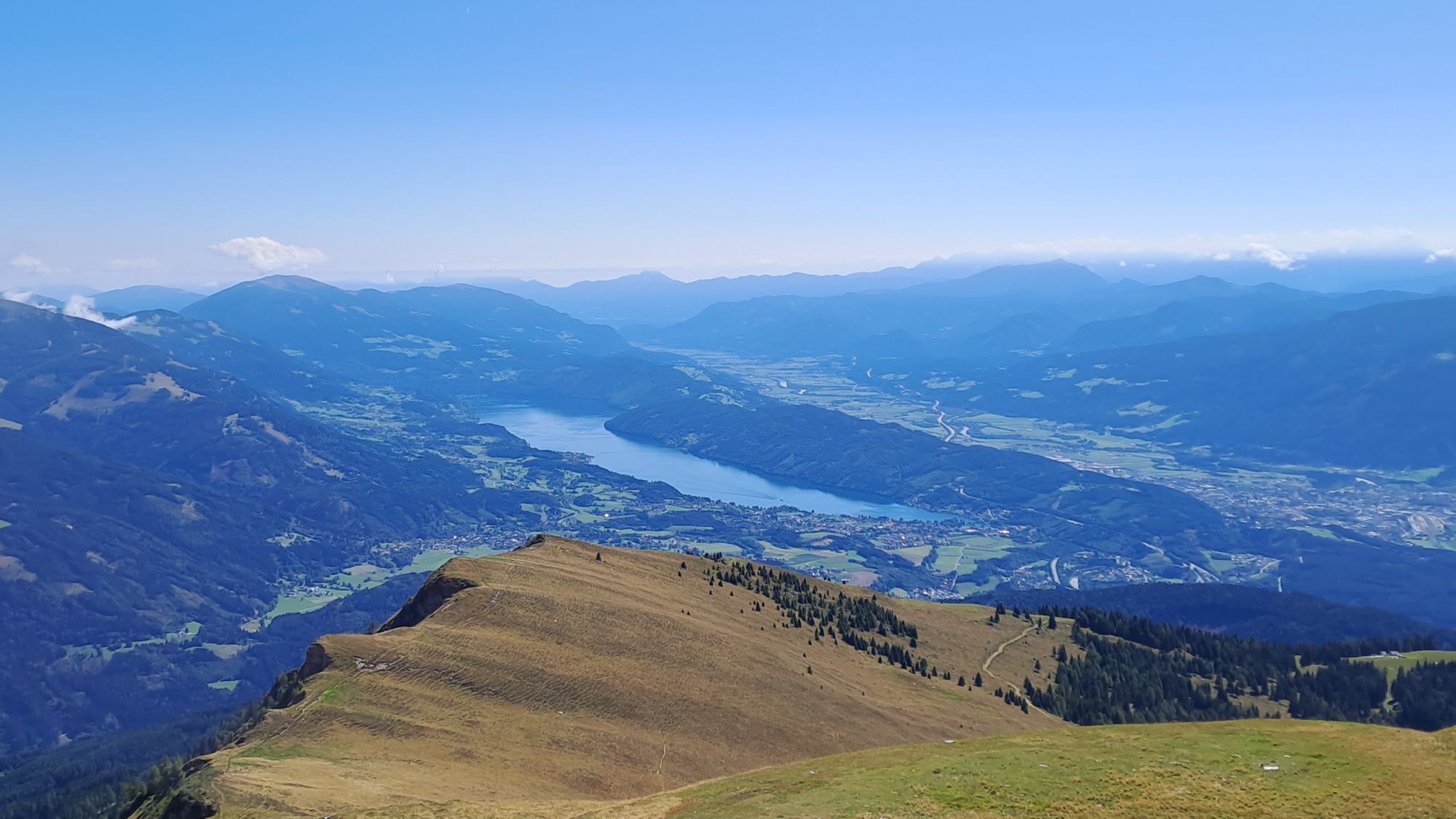
Hikers can expect a magnificent panoramic view of Lake Millstatt and the surrounding 3000-meter peaks of the Hohe Tauern National Park at the summit of Gmeineck. After the hike, you are pampered in the...
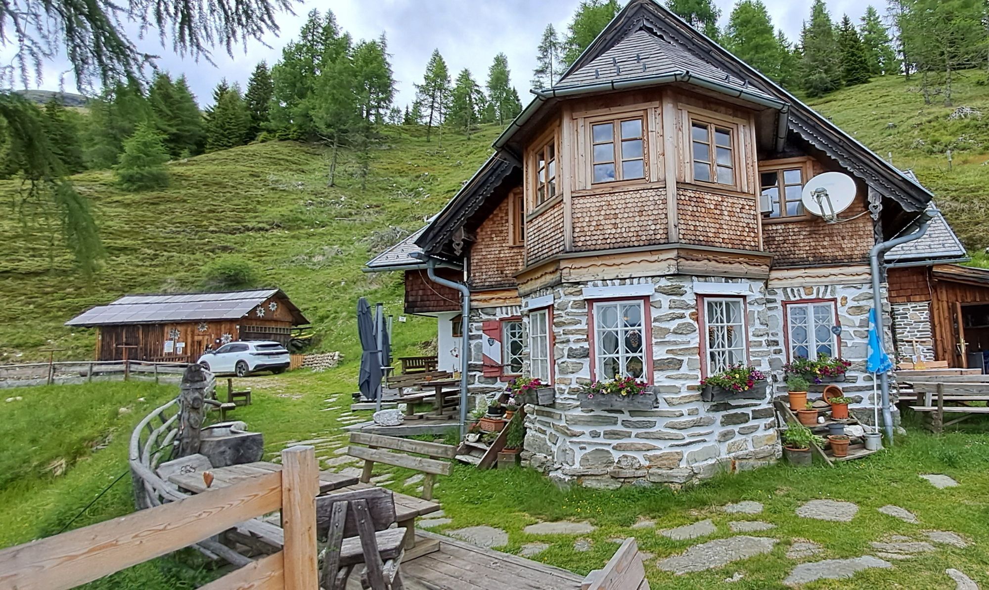
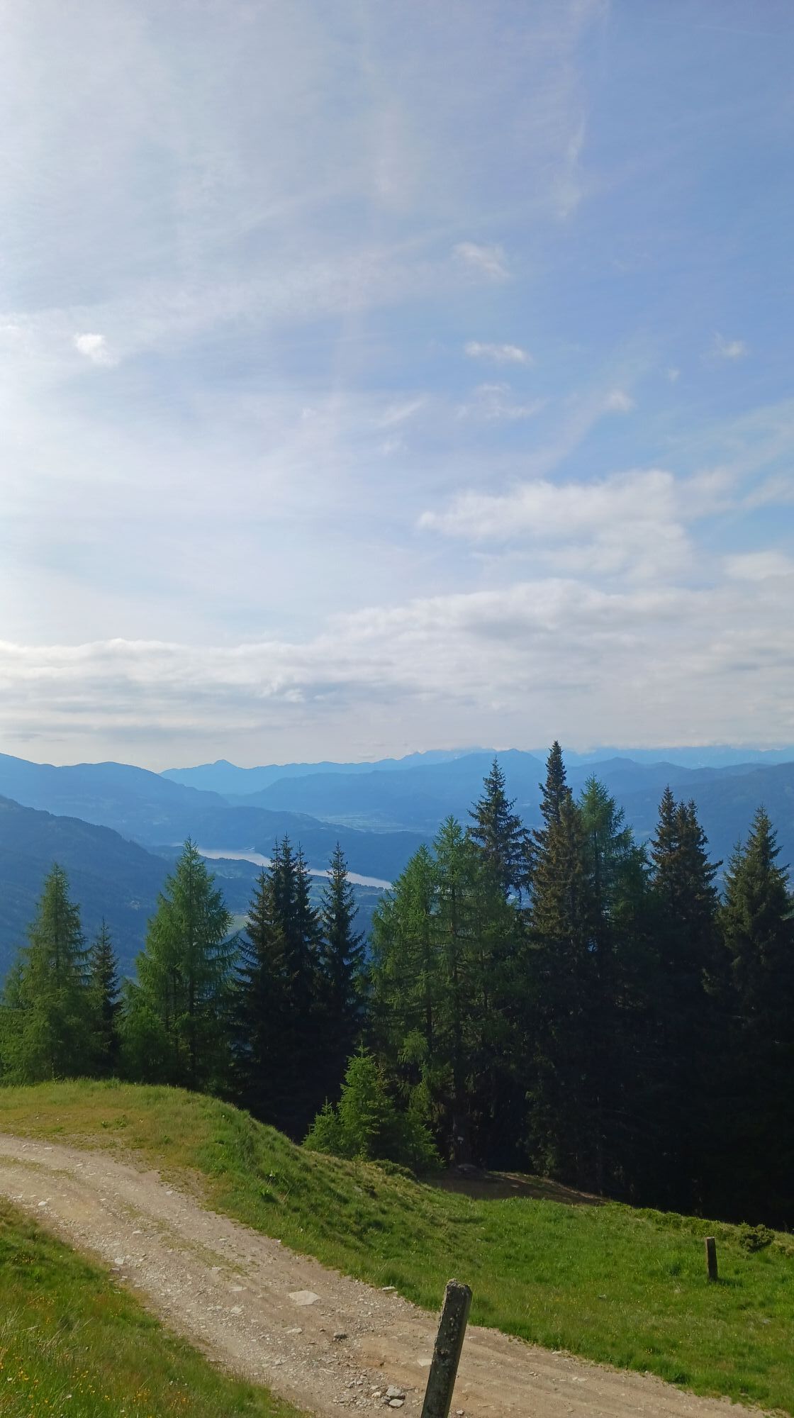
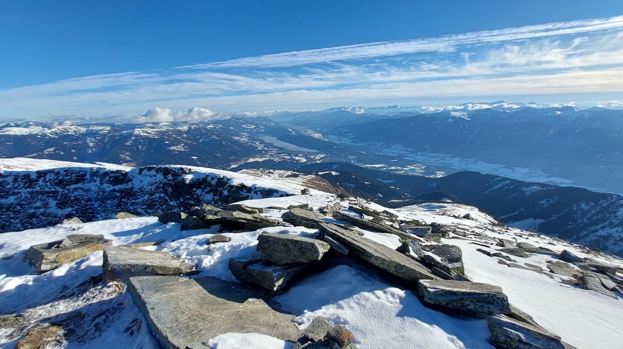
Hikers can expect a magnificent panoramic view of Lake Millstatt and the surrounding 3000-meter peaks of the Hohe Tauern National Park at the summit of Gmeineck. After the hike, you are pampered in the Bergfriedhütte with regional products and warm hospitality and enjoy the view of Carinthia's deepest and most water-rich lake from the spacious and sunny terrace.
Our tip: Combine the hike with a rustic overnight stay at the Bergfriedhütte.
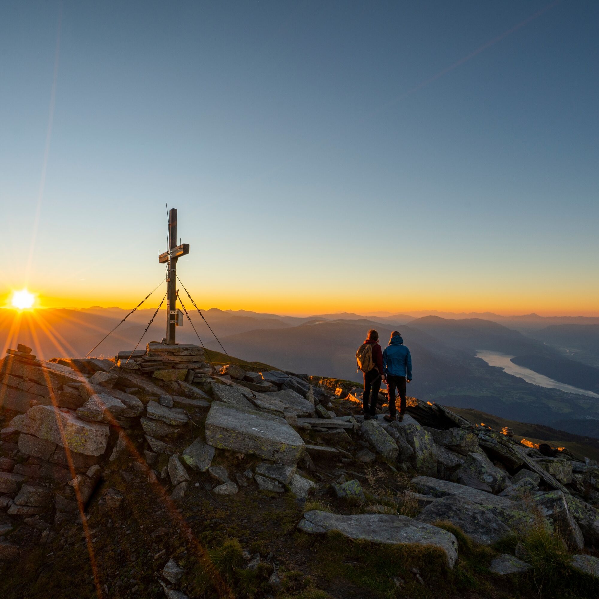
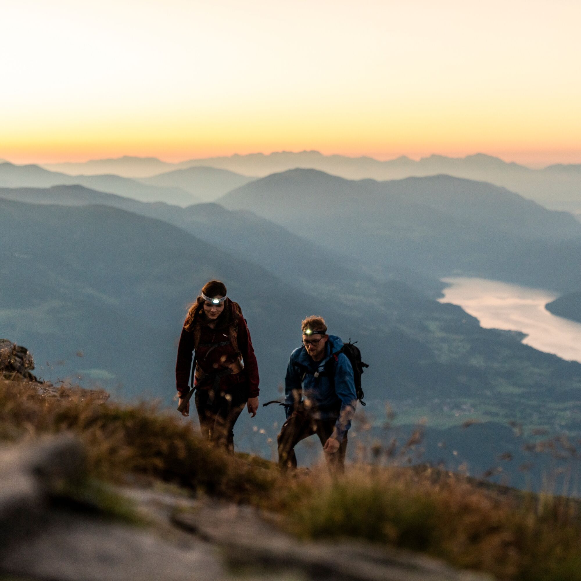
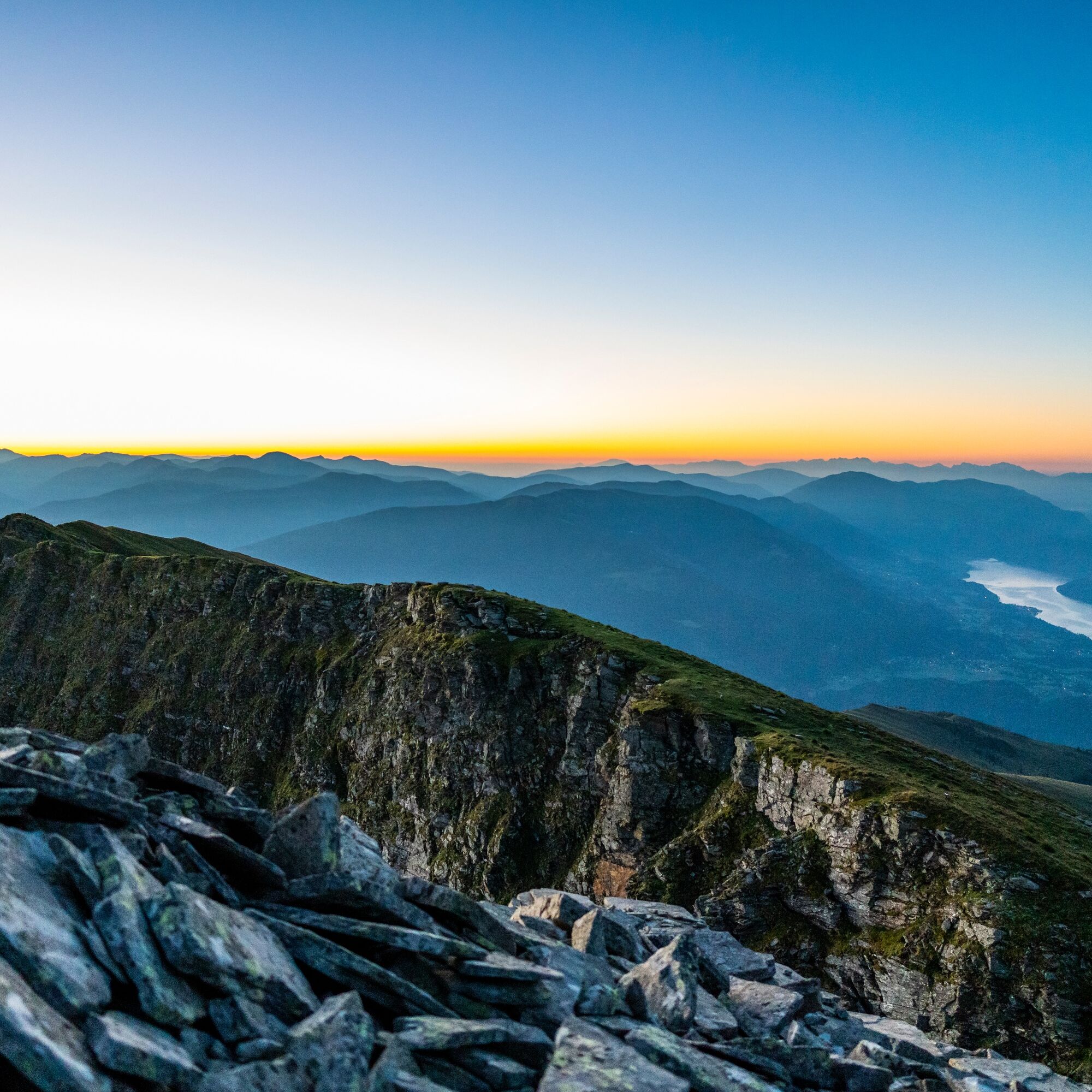
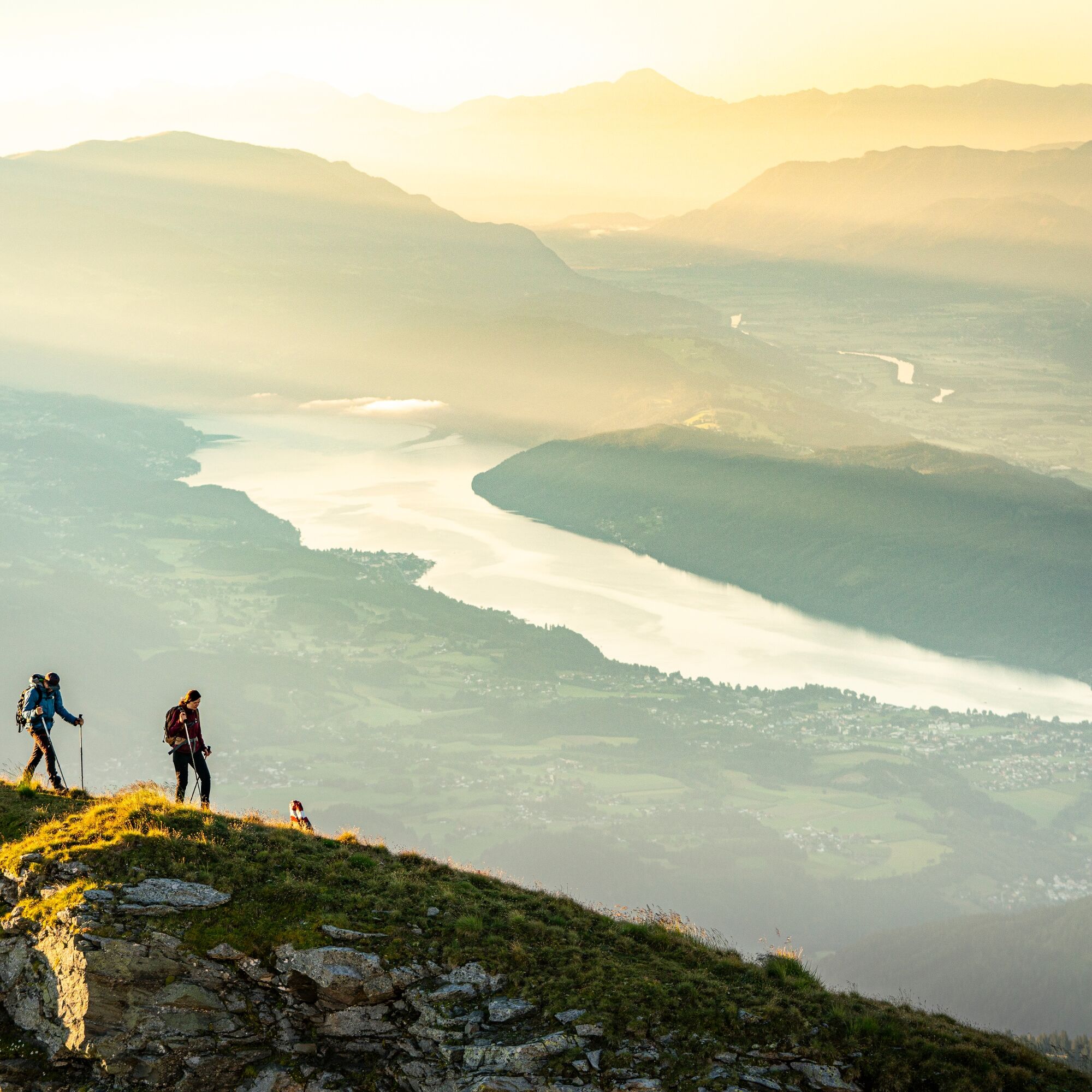
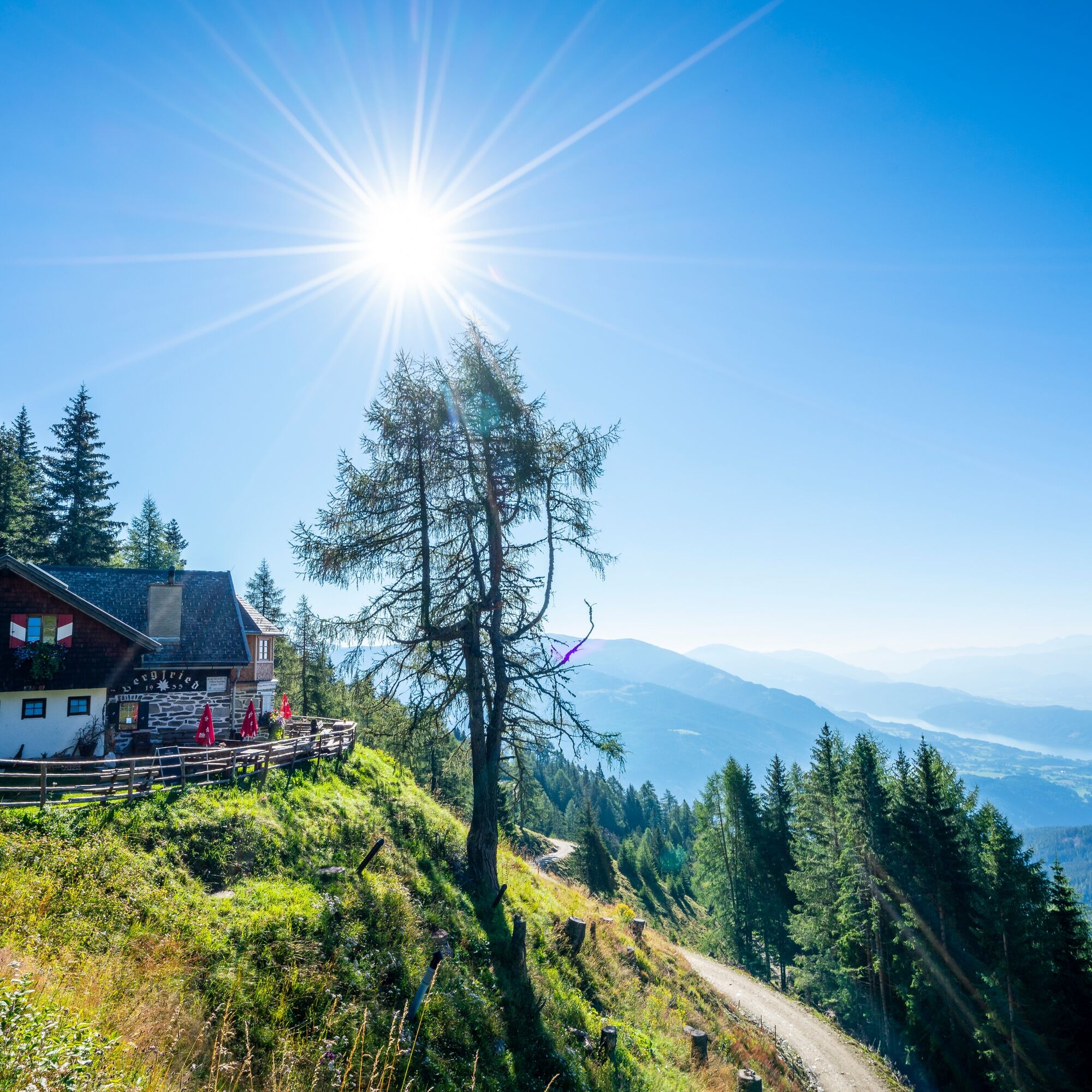

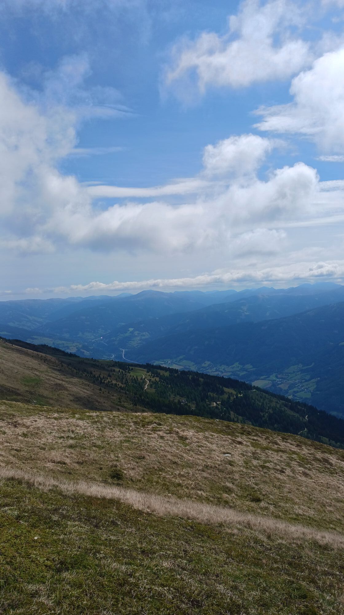
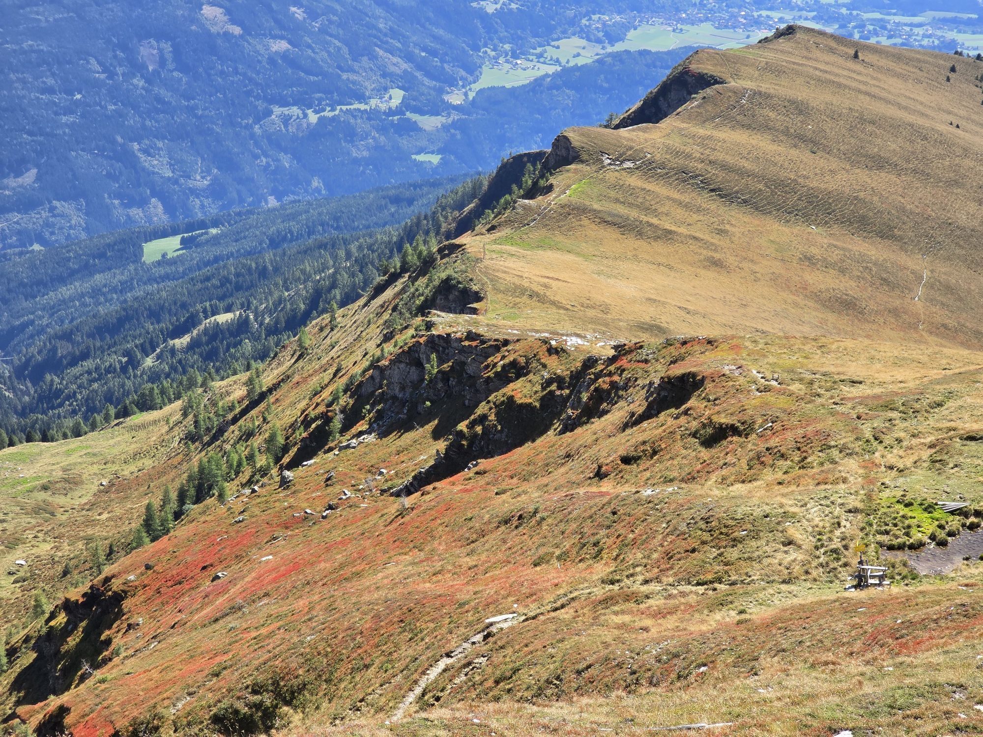
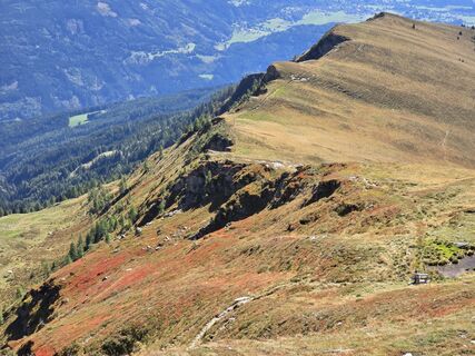
From the Bergfriedhütte, the path first runs for a few minutes on a forest road. Then it continues on wide and narrow trails along a stream. On the left side appears the summit cross of Steinkopf, on the right that of Stoder. The path leads up a seemingly endless mountain ridge. Once the ridge is reached, it is only a few minutes to the summit.
Alternatively, there is the possibility to choose the rather exposed route via the Stoder or to make a detour to Steinkopf at the end.
Da
Da
Important prerequisites for the success of a mountain route are, in addition to careful study of guides and maps, optimal equipment. The basic equipment includes:
solid, well-fitting mountain or hiking boots with grippy soles water- and wind-resistant mountain clothing in layers, hiking poles sunglasses, sun protection mobile phone and hiking map a first aid kit as well as enough to drink and a snackProper behavior in the mountains
Careful route planning based on descriptions and hiking maps is essential for the success of a mountain route. Equally important is to correctly assess the mountain experience, fitness, surefootedness, freedom from dizziness, and resilience of all participants. Never leave marked hiking trails and avoid shortcuts. Inform yourself about the weather conditions before the hike and return to the valley in case of deteriorating weather. The mountains are for everyone. Helping to preserve and keep them clean is the duty of every hiker. Take waste back down to the valley and protect the animal and plant life. Always keep dogs under control and on a short leash. If an attack by a grazing animal is foreseeable, immediately unleash the dog. Austrian farmers make an important contribution to the preservation of our alpine landscape. Visitors are asked to respectfully adapt to this beautiful landscape. Treat the people working here, nature, and animals with respect.Here are the most important emergency numbers in case of accidents in Austria:
140 Alpine emergency call
144 Rescue emergency call
112 European emergency call (possible from all networks. Turn off the mobile phone and after switching it on, dial “112” instead of the PIN)
The Bergfriedhütte can be reached by car from Trebesing via a toll alpine road. Here is the Google Maps route description.
Toll: Please have €6 in coins (€2 and €1) ready. No change function available.
The Bergfriedhütte is not directly accessible by public transport.
Directly in front of the Bergfriedhütte there are several free parking spaces available.
Further information about the Bergfriedhütte as well as the hiking area in the region can be found at:
Region Millstätter See - Bad Kleinkirchheim - Nockberge
+43 (0) 4246-37444
info@mbn-tourismus.at, www.seeundberg.at/wandern
The UNESCO Biosphere Park Nockberge
Majestic, mighty, and unique – the UNESCO Biosphere Park Carinthian Nockberge is an alpine gem with unique natural treasures, a diverse cultural landscape, as well as rare animal and plant species. For centuries, people have lived here in harmony with nature. Gently rolling with peaks over 2400 meters and picturesque alpine meadows – the Biosphere Park Carinthian Nockberge is a rare natural idyll in the midst of the Austrian Alps and covers an area of about 500 square kilometers.
In 2012, it was designated a Biosphere Park by UNESCO. The park is based on the three pillars of sustainability: ecological balance, economic security, and social justice. Here, people live in harmony with nature and the rare animal and plant life is respectfully regarded and appreciated.
Regional products, processed according to old traditions, bear witness to careful work following handed-down recipes. Trained Biosphere Park rangers promise unforgettable tours for families, and in several educational programs, this knowledge is also passed on to students. Regardless of the season, a visit always offers a treasure chest full of experiences.
Further information about the UNESCO Biosphere Park Carinthian Nockberge at: www.biosphaerenparknockberge.at
The Gmeineck is a real insider tip next to the nearby, well-known Bösen Nase and also a popular destination for ski tourers in winter.


Priljubljeni izleti v okolici
- 4.7
Family bike ride along the bike path R9B Gmünd - Maltatal
srednjaKolesarjenje 33.8 km - 5.0
Bergfried Hütte, Stoder 2433, Gmeineck 2592
težkoPohodništvo 8.23 km - 5.0
Bella Vista auf Hohe Leier
srednjaVia ferrata 15.6 km - 4.8
H-2-O Höhenweg
svetlobaTematska pot 5.40 km - 4.8
Nockhöhensteig
srednjaPohodništvo 7.67 km - 4.1
Barbarossa Gorge near Mühldorf/Mölltal
svetlobaPohodništvo 2.74 km - 4.3
The Glockner cycle route R8
srednjaKolesarjenje 123.5 km - 4.7
Tschiernock high-altitude circular hiking trail
težkoPohodništvo 15.8 km - 4.4
Tschiernock, Hochpalfennock, Tschierwegernock, nock nock nock ... ;)
svetlobaPohodništvo 10.4 km - 4.3
Hike Frido Kordon Hut - Stubeck summit (2,370 m)
srednjaPohodništvo 8.11 km

Pohodništvo in sledenje


Ne zamudite ponudb in navdiha za naslednje počitnice
Vaš e-poštni naslov je bil dodan na poštni seznam.





