







Tour des Etablons
Stopnja težavnosti: S0
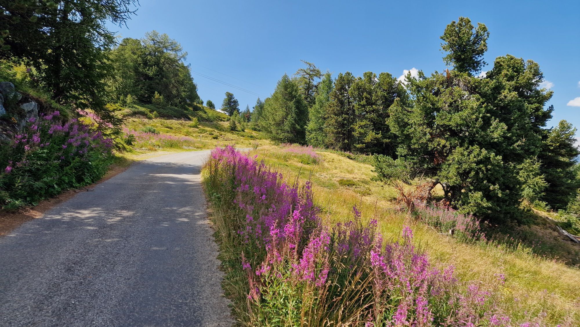
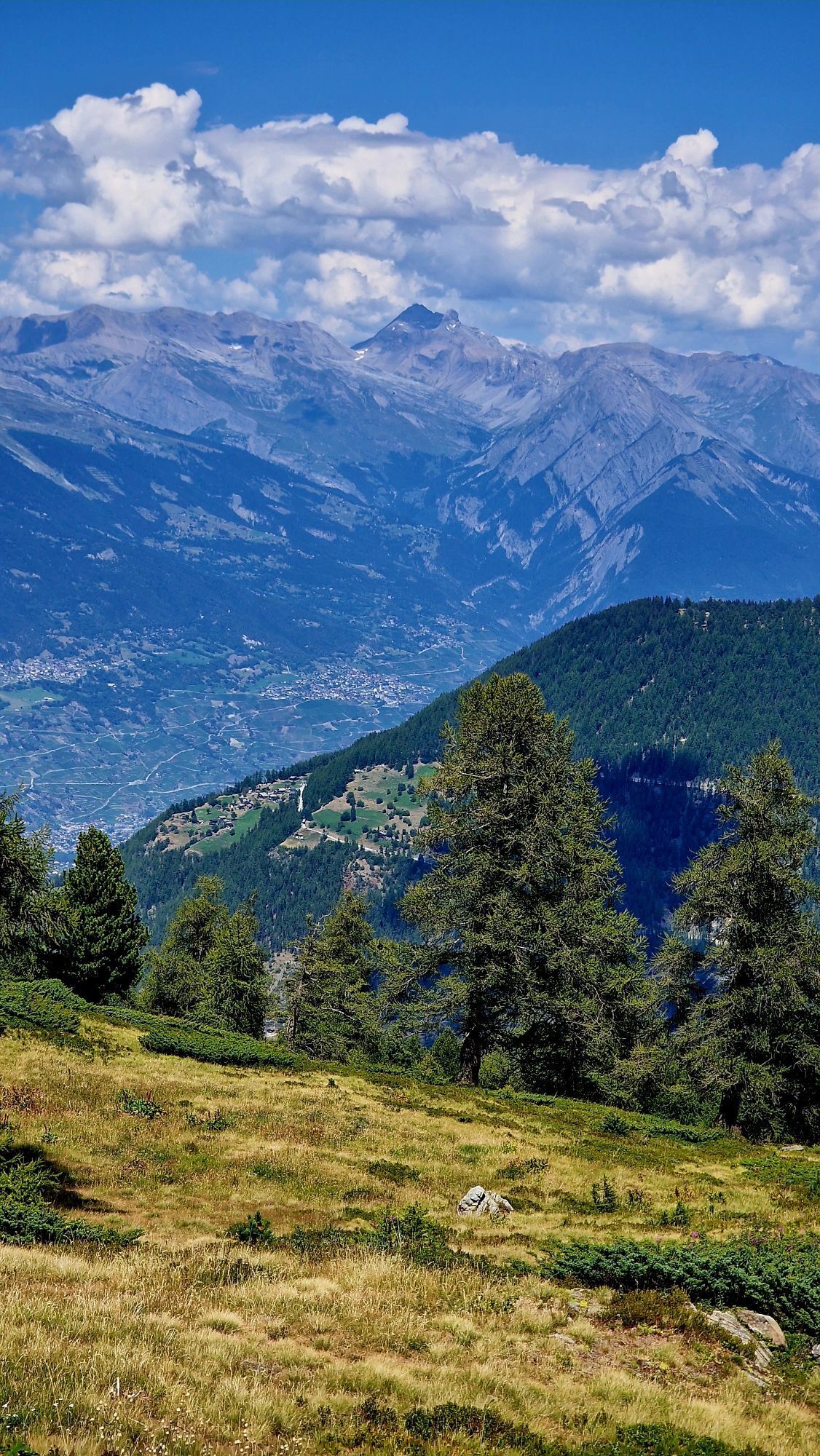
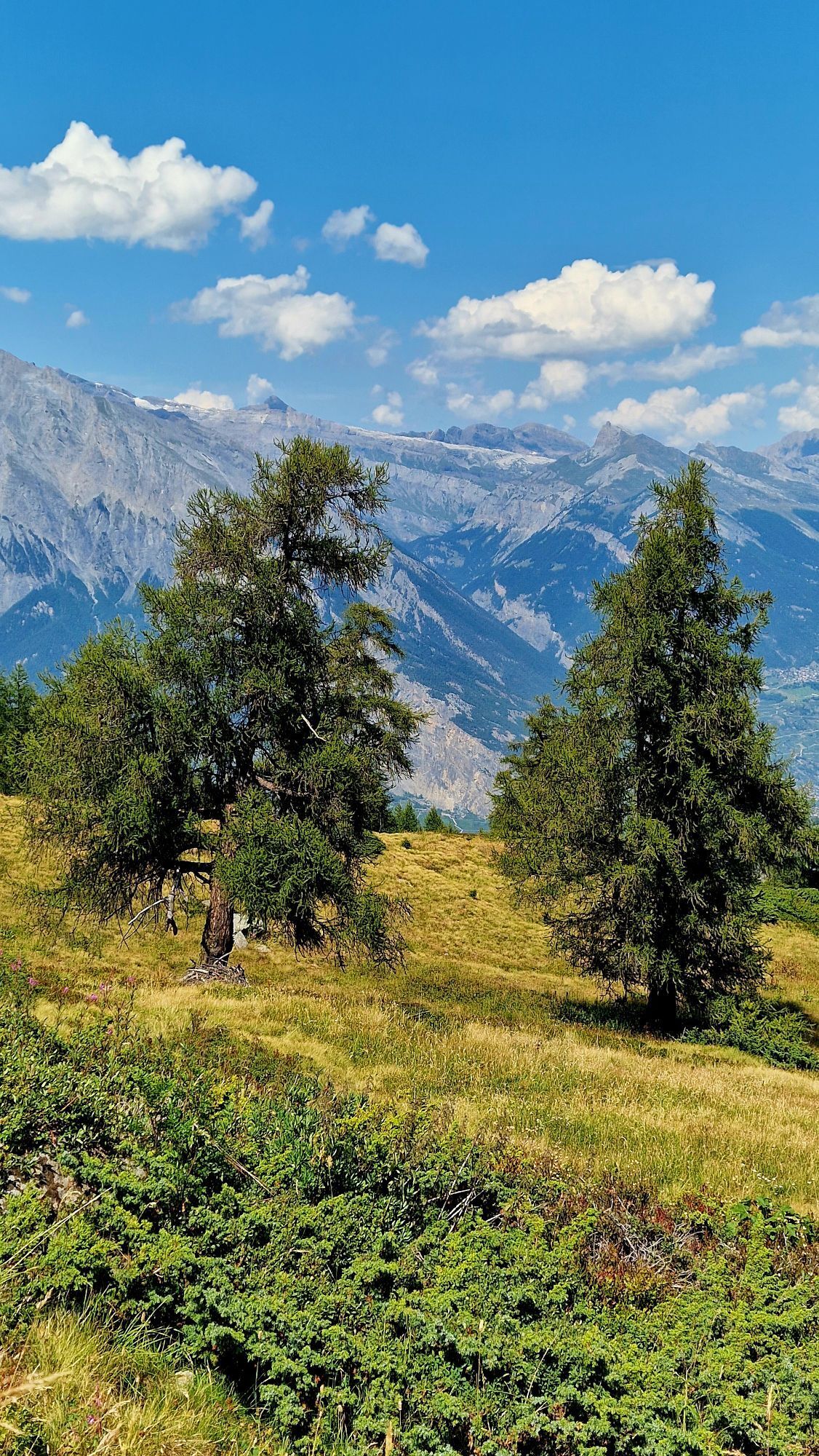
Starting from the La Tzoumaz-Savoleyres cable car station, this route quickly reaches the Croix de Cœur road, then completes an 8-kilometre climb, passing successively through alpine pastures and larch...
Starting from the La Tzoumaz-Savoleyres cable car station, this route quickly reaches the Croix de Cœur road, then completes an 8-kilometre climb, passing successively through alpine pastures and larch forests. Turn shortly before the pass to access the restaurant Chez Simon, situated at 2076 metres altitude, the highest point of the route. The route continues on a dirt road towards Sapinhaut, then descends quite steeply to the Vatse clearing. It then follows a forest road with a slight climb towards La Tzoumaz, passing through three small tunnels up to Som de Pro. The last kilometre runs on the main road and leads back to the starting point.

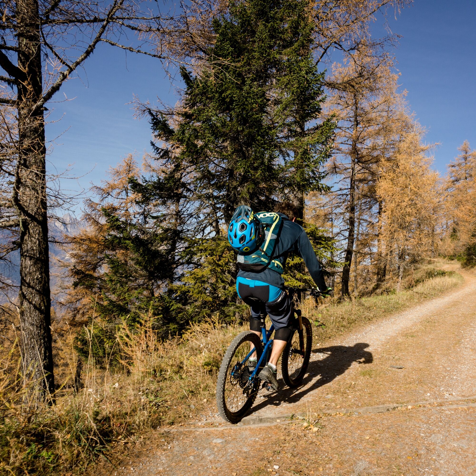
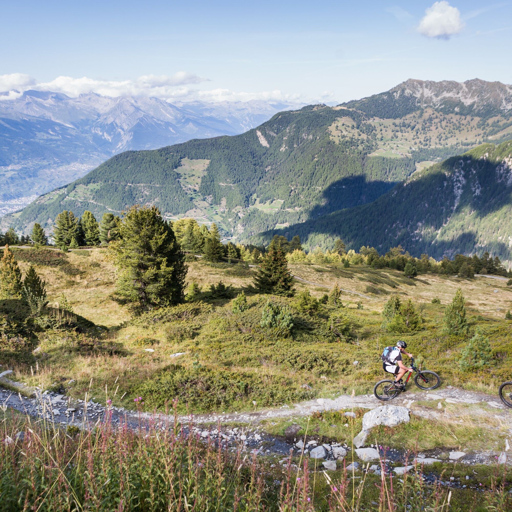
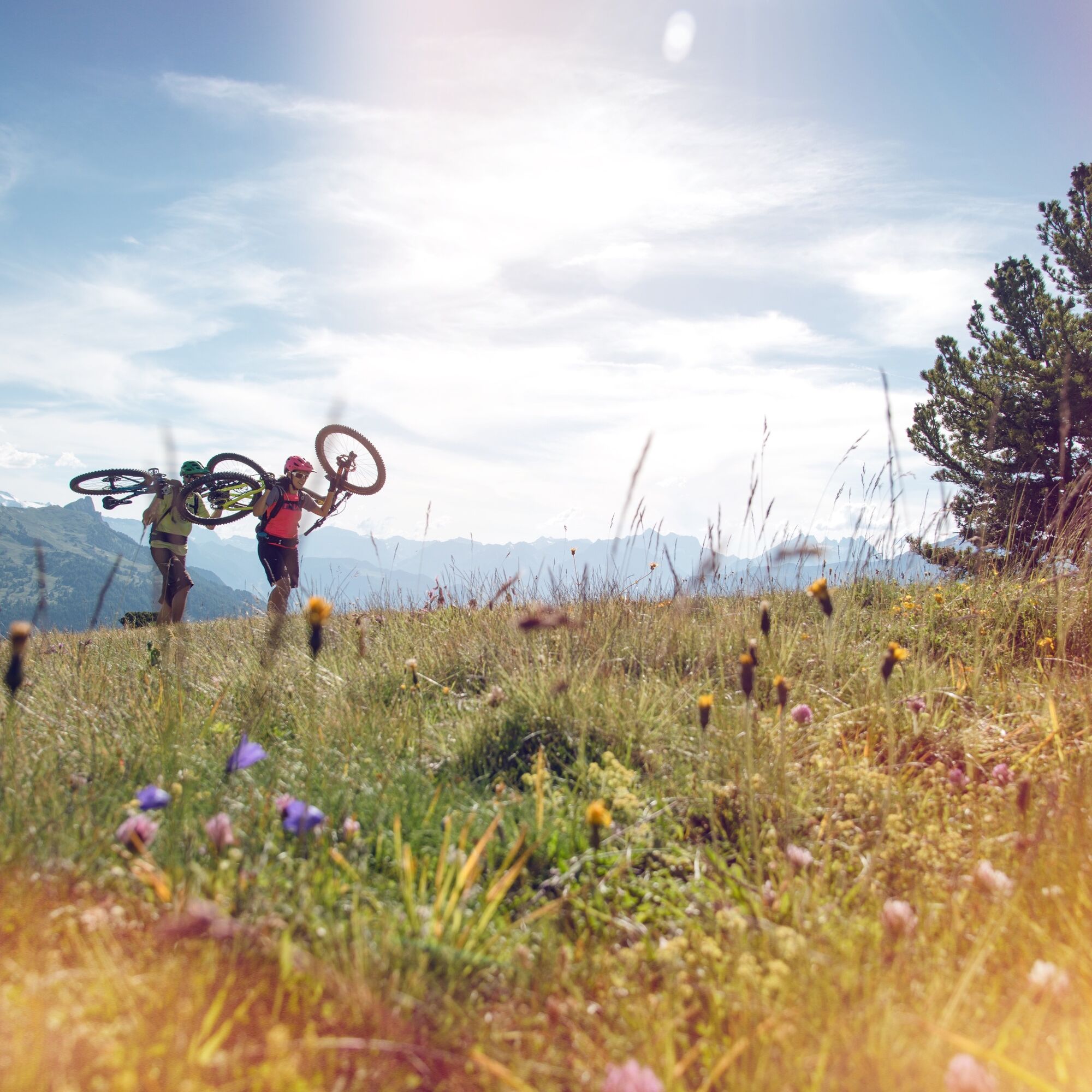
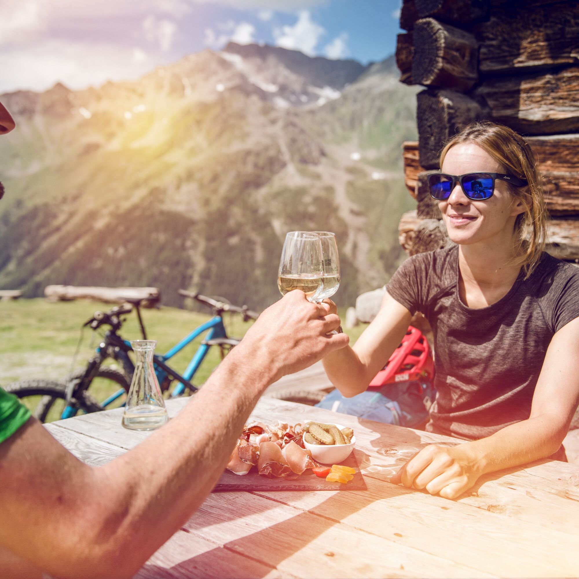

Starting from La Tzoumaz, this route quickly takes you out of the resort and joins the Croix de Cœur road, where your ascent begins. This climb through the forests consists of several hairpin bends and is the highlight of the Tour des Stations. Note that the surface allows for this ascent to be done both by mountain bike and road bike. Shortly before reaching the pass, the route turns right to reach the restaurant Chez Simon, where you can take a break to refresh yourself. The route then descends via a fairly steep old alpine road to Vatse, then returns to La Tzoumaz via a forest road with a slight incline. Join the main road for the last kilometre that will bring you back to your starting point.
Da
Our recommendations: technically flawless mountain bike, helmet, gloves and bell, appropriate clothing according to the weather, rain protection, drink and snacks.
The mountain, a space of pleasure to be shared and respected. The mountain offers a space to meet and share unforgettable moments, whether by bike or on foot. For all outdoor enthusiasts to enjoy it, it is essential to share this space with respect for nature and agriculture. Respectful behaviour allows everyone to practise their leisure activities under the best conditions. Find out about the recommendations and rules in place.
Accurately assess your physical condition and capabilities. Use of the different routes is always at your own risk.
From the A9 motorway, exit at Riddes and take the Route des Mayens to La Tzoumaz.
From the Riddes SBB station, reach the TRI station of the Riddes-Isérables cable car. Take the cable car to Isérables, then the postal bus to La Tzoumaz. Get off at the La Tzoumaz-Télécabine stop.
At the entrance to La Tzoumaz, the Eterpey square has a large free car park with unlimited duration.
S0
Learn more about the destination:
Stop at the restaurant Chez Simon to taste its excellent apple pie.

Spletne kamere s turneje
Pridobite vpogled
Vedno v živo na mestu z več kot 9.500 spletnimi kamerami. bergfex Kot uporabnik Pro si lahko zdaj ogledate ustrezne spletne kamere za številne izlete v aplikaciji izleti iz. Tako si lahko neposredno ogledate trenutne razmere.
Priljubljeni izleti v okolici
-
4.6
From Saillon to the Farinet suspension bridge
srednjaPohodništvo 7.86 km -
5.0
Sentier des bouquetins
srednjaPohodništvo 8.73 km -
4.7
Cleuson Dam
srednjaPohodništvo 11.5 km -
From Savoleyres to the mountain lake Lac des Vaux
srednjaPohodništvo 14.0 km -
Tour du Grand Chavalard
srednjaPohodništvo 14.9 km -
4.5
The Larches of Balavaux
svetlobaPohodništvo 11.0 km -
5.0
Tour de La Seya hike
srednjaPohodništvo 8.09 km -
4.0
Sentier des Chamois
težkoPohodništvo 11.6 km -
Via Farinetta
težkoVia ferrata 6.41 km -
5.0
From Cabane Brunet to Cabane FXB Panossière
srednjaPohodništvo 6.87 km

Pohodništvo in sledenje


Ne zamudite ponudb in navdiha za naslednje počitnice
Vaš e-poštni naslov je bil dodan na poštni seznam.





