







The Larches of Balavaux

The larch decorates the forests of Valais with splendid colors throughout all seasons. On the Balavaux alp there are more than 250 trees of this species, aged between 300 and 1000 years. The oldest tree...
The larch decorates the forests of Valais with splendid colors throughout all seasons. On the Balavaux alp there are more than 250 trees of this species, aged between 300 and 1000 years. The oldest tree has a circumference of 14 meters and is probably the largest in Europe. The hike starts with a gondola ride from Haute-Nendaz to Tracouet, a summit with panoramic views of the entire Rhone Valley. From there, you head towards Lac Noir and then hike to the Cabane de Balavaux. The route then takes you through the impressive larch forest. Over a specially built footbridge, you reach the largest larch, nicknamed "Roi de Balavaux," or "King of Balavaux." Next, continue to the restaurant Le Chalet des Alpes. Then follow a path to the Suone of Saxon, the longest in Valais. After reaching the clearing Pra de Dzeu, return over "La gouille d’Ouché" and "Les Rairettes" to the starting point.

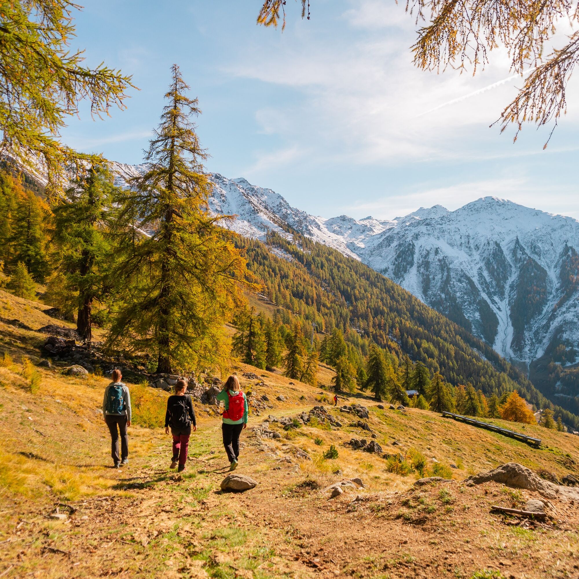
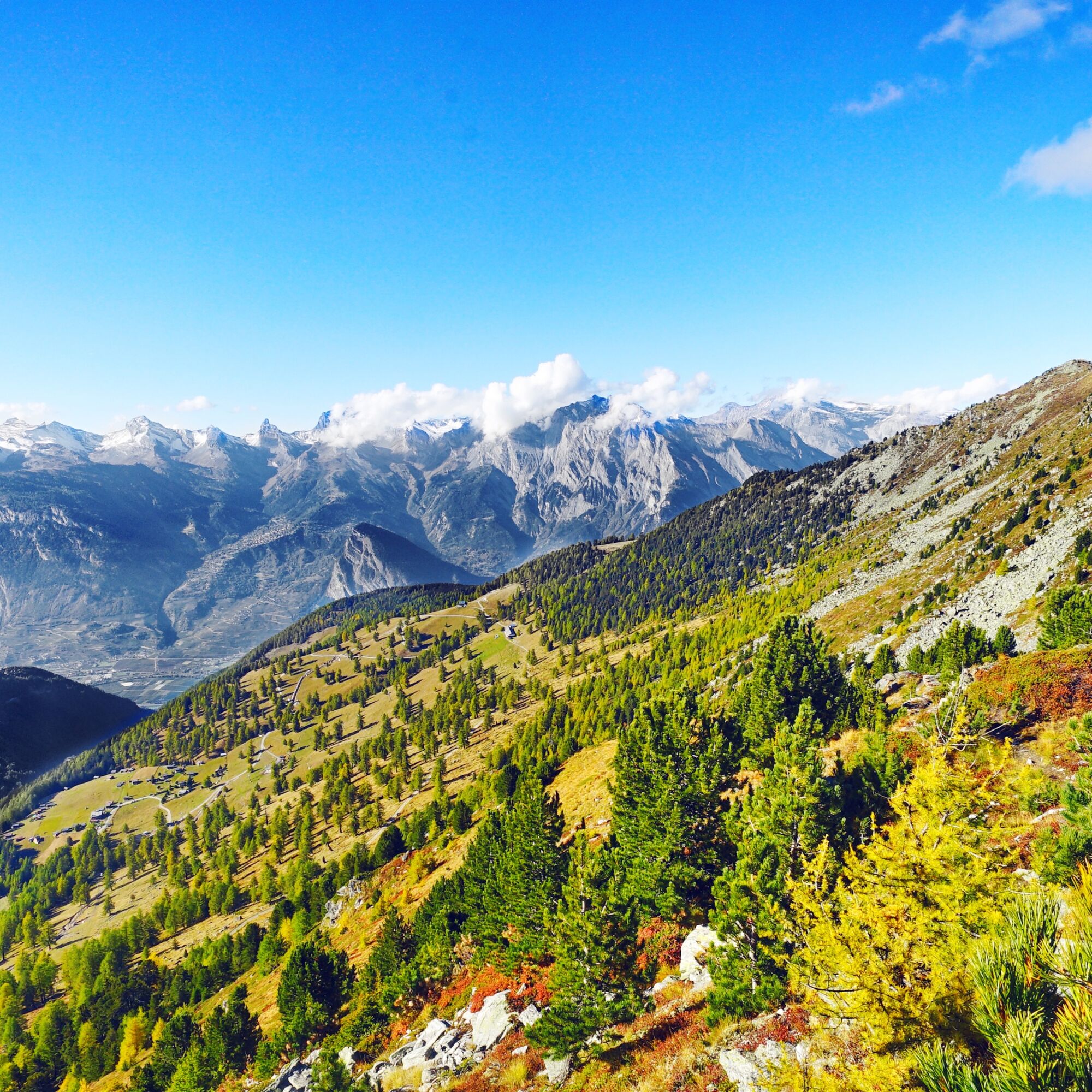
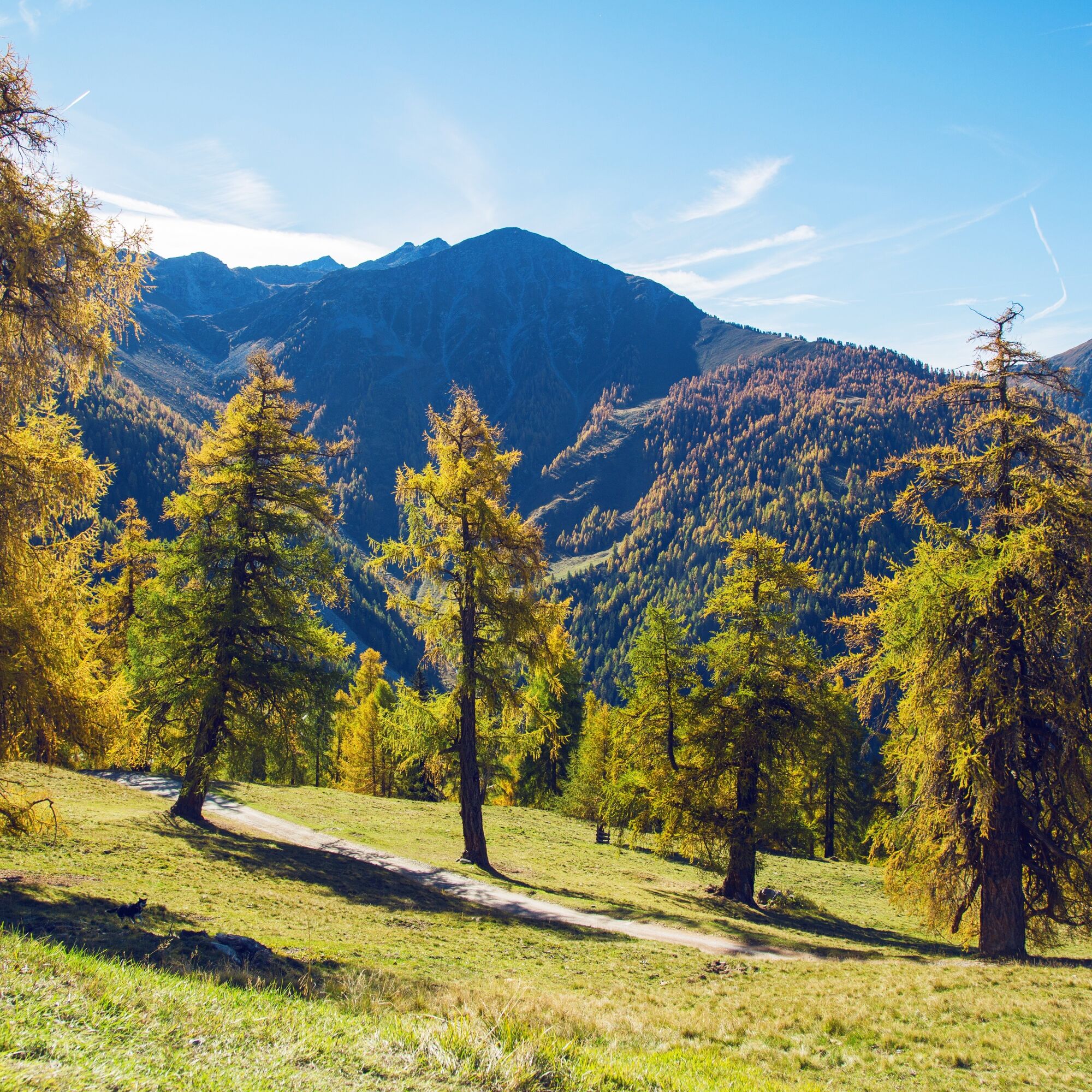
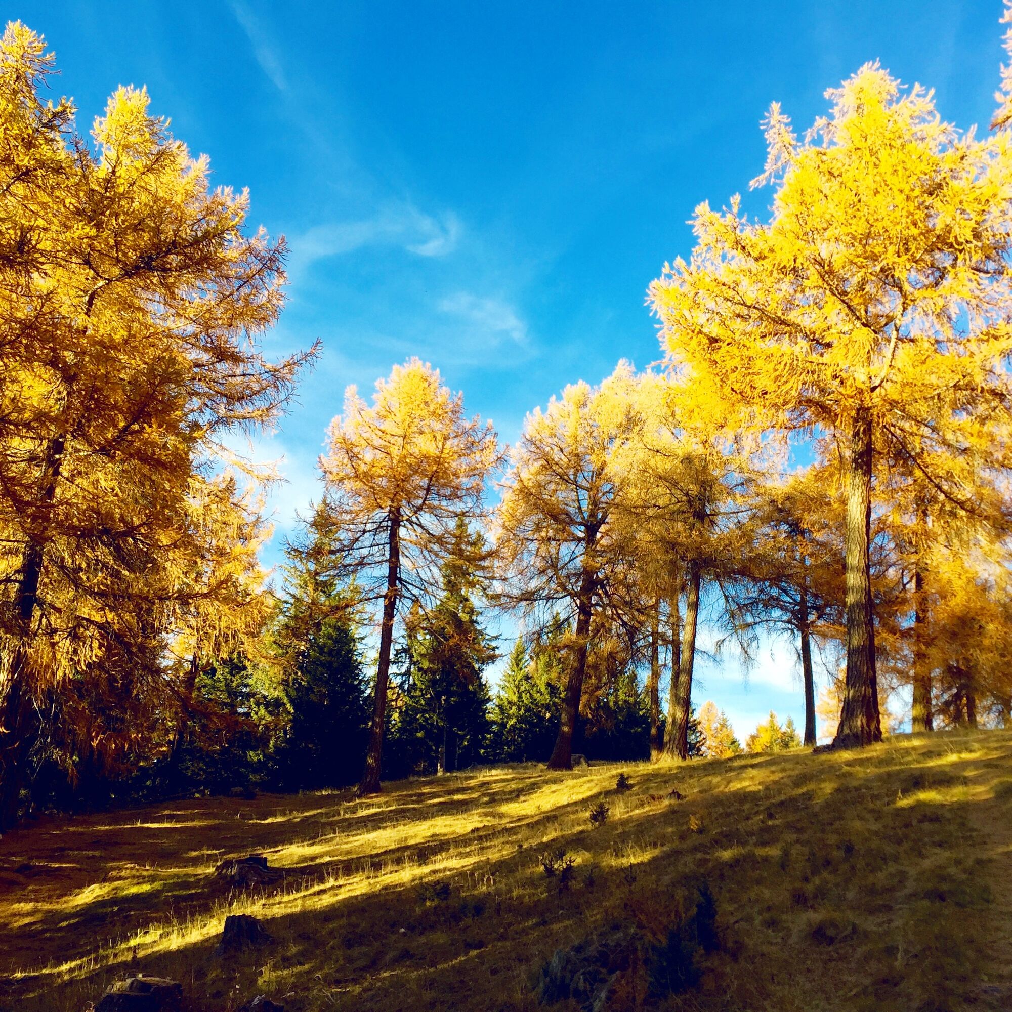

Take the cable car from Haute-Nendaz to Tracouet. If you are fit, you can also tackle the two-hour ascent on foot. Then head towards Lac Noir and hike to the Cabane de Balavaux. The path leads through a forest with impressive larches before you see the largest of them. Thanks to a small footbridge built specifically for this purpose, you can get very close to the "King of Balavaux." Next, continue to the restaurant Le Chalet des Alpes and then to the Suone of Saxon, the longest in Valais. Upon reaching the clearing Pra de Dzeu, return to Nendaz via "La gouille d’Ouché" and "Les Rairettes."
Da
Da
We recommend:
Good footwear Weather-appropriate clothing: always carry a waterproof vest Headwear Sunscreen Water bottle Picnic Camera Binoculars (optional) Trekking poles (optional) Printout of the hiking trail (click "Print" to download)For certain hikes:
SwimsuitUse of the hiking trails and information on this website is at your own risk. Local conditions may cause route changes. Valais/Wallis Promotion accepts no responsibility for the accuracy and completeness of the information on this website. Assess your own abilities and fitness carefully. Using the various routes is generally at your own responsibility.
For all hikes:
Carry a map with you. Download the complete description of the hiking trail with a large-scale map by clicking "Print" at the top right of the page. Use only marked hiking trails and heed all signposts and instructions—for your own safety, to protect grazing animals, and out of respect for wildlife. Close gates again after passing through. Be considerate towards other trail users, plants, and animals.For mountain hikes:
Carry additional sun protection. UV rays at high altitudes can be very strong, even in cloudy weather. Plan your hike carefully: Consider the required fitness level of all participants, weather forecasts, and seasonal conditions. Weather conditions can change very quickly and without warning in the mountains. Appropriate clothing and sufficient provisions (food and drink) are very important. In unstable weather, it is better to turn back early.For high alpine hikes:
Inform your family about your hiking route. If possible, avoid going alone. Do not venture onto glaciers without a mountain guide. Observe warning signals indicating dangers at riverbanks, along watercourses below dams and reservoirs: water levels can rise quickly and without warning.Highway A9, exit 26 (Sion-West) coming from the west or exit 27 (Sion-East) coming from the east. Follow the signs to Haute-Nendaz.
Regular train connections to Sion, then by post bus to Haute-Nendaz (valley station of the cable car), then up to Tracouet. Train and post bus timetables can be found at sbb.ch.
Various paid parking lots in Nendaz (Prameira, Mer de Glace, Pré de la Patinoire). Follow the local parking guidance system in Nendaz.
Further information about the destination:
NendazTake some time and walk around the mountain lake Lac Noir.

Spletne kamere s turneje

Priljubljeni izleti v okolici
- 4,6
From Saillon to the Farinet suspension bridge
srednjaPohodništvo 7,86 km - 4,5
Tour de l'éboulement des Diablerets
svetlobaPohodništvo 6,52 km - 5,0
Sentier des bouquetins
srednjaPohodništvo 8,73 km - 4,7
Cleuson Dam
srednjaPohodništvo 11,5 km Tour du Grand Chavalard
srednjaPohodništvo 14,9 kmFrom Savoleyres to the mountain lake Lac des Vaux
srednjaPohodništvo 14,0 km- 4,0
Tripon - Brac – Ancien Bisse du Torrent Neuf – St. Marguerite – Torrent Neuf – Prafirmin - St. Germain
svetlobaPohodništvo 12,9 km - 5,0
Tour de La Seya hike
srednjaPohodništvo 8,09 km - 4,0
Sentier des Chamois
težkoPohodništvo 11,6 km - 4,0
Belvédère via ferrata
srednjaVia ferrata 1,81 km
Pohodništvo in sledenje


Ne zamudite ponudb in navdiha za naslednje počitnice
Vaš e-poštni naslov je bil dodan na poštni seznam.





