







From Cabane Brunet to Cabane FXB Panossière

This panoramic hike passes the mountain hut located on the lateral moraine of the Corbassière Glacier. The glacier is the fifth longest in Switzerland. Cabane FXB Panossière offers a unique view of the...
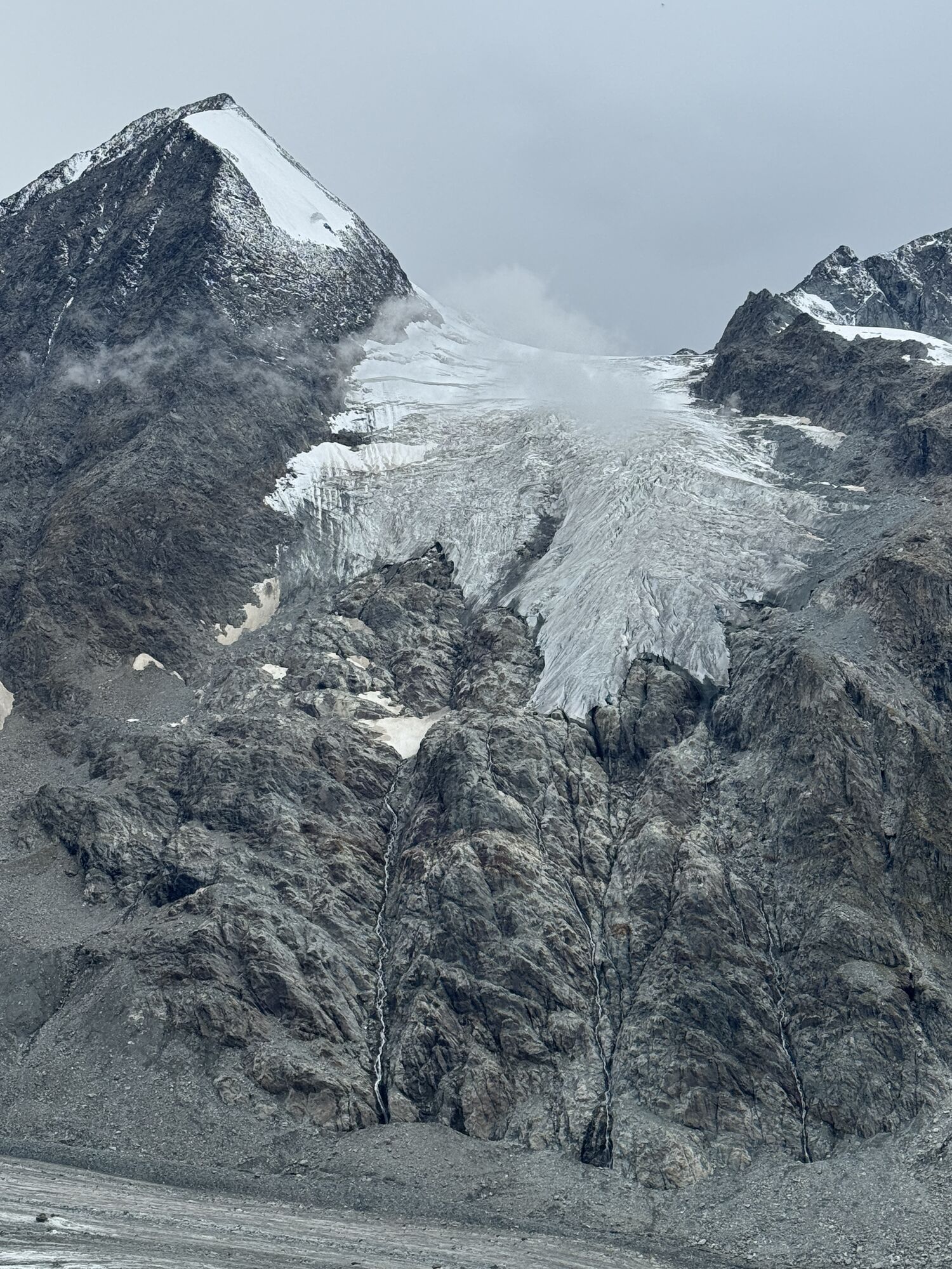
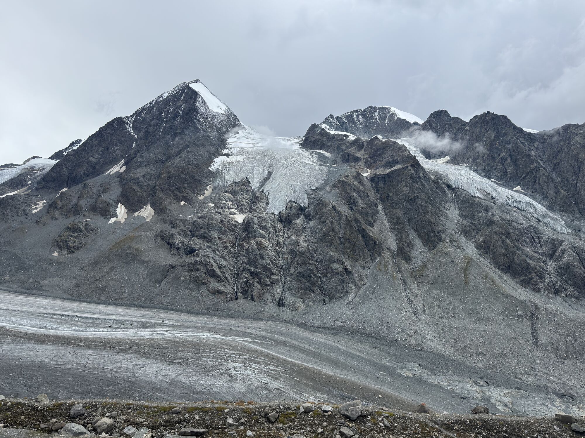
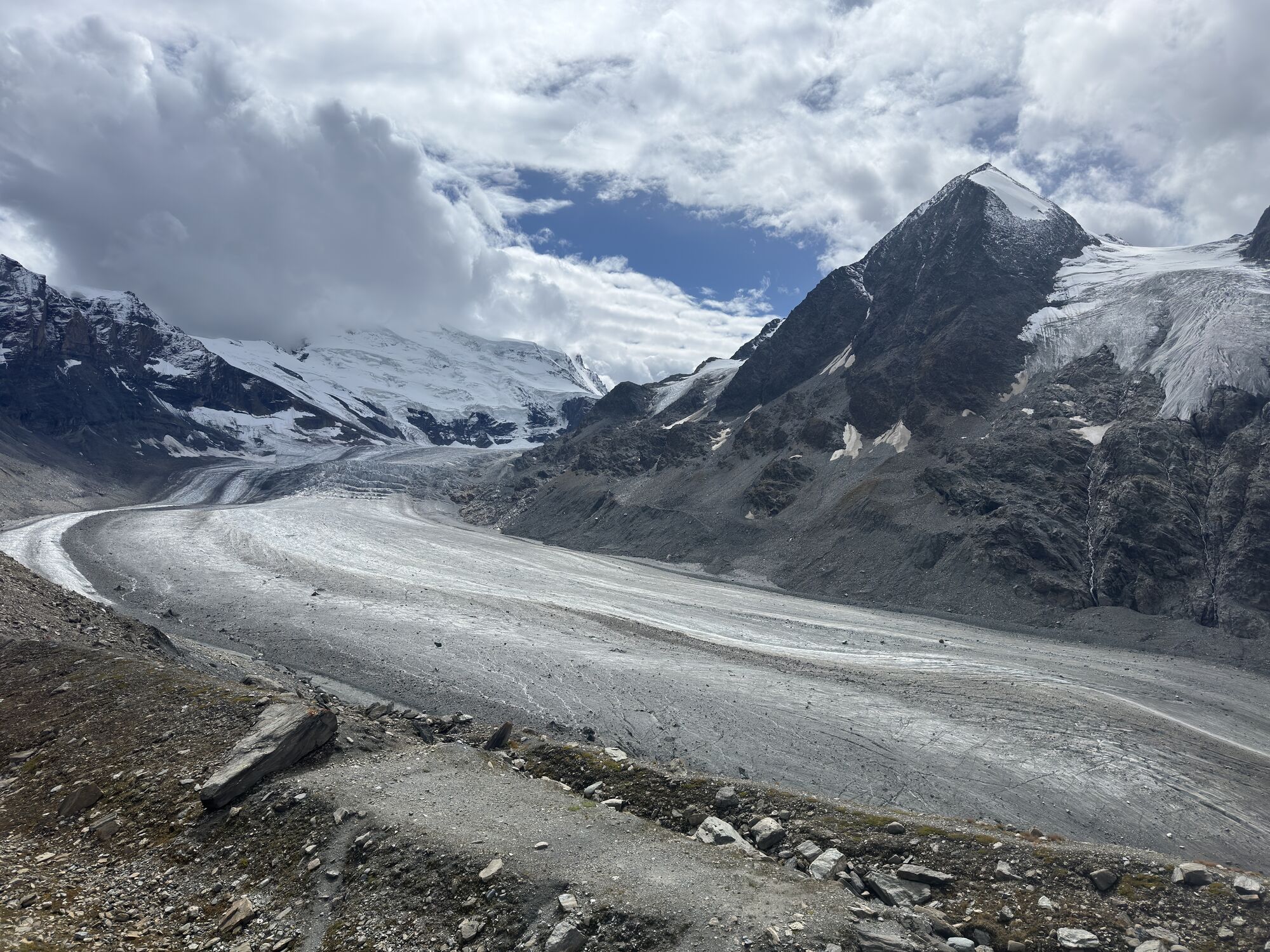
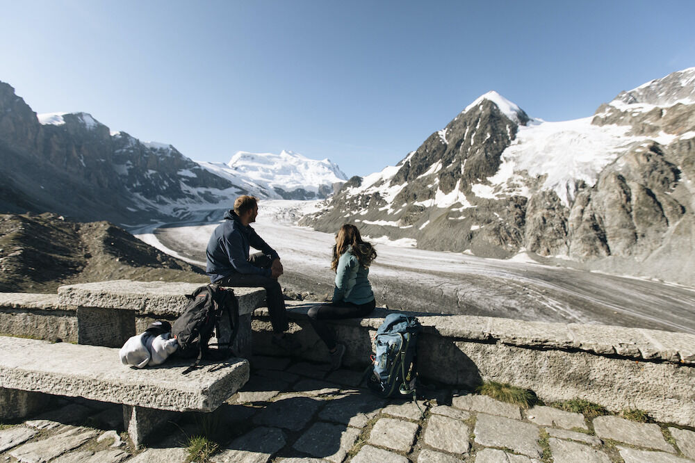
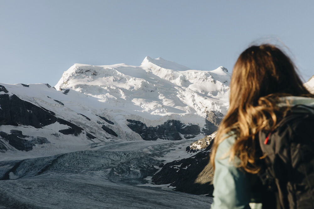
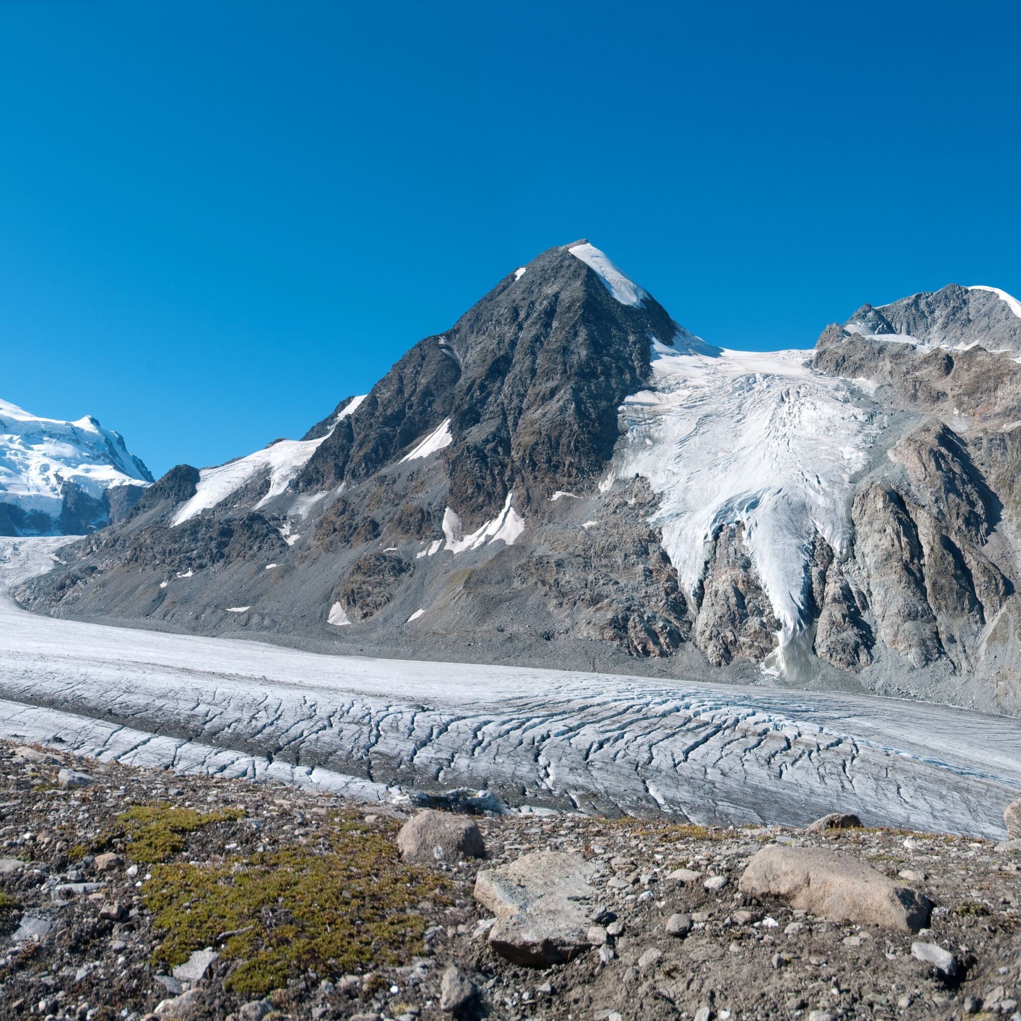
This panoramic hike passes the mountain hut located on the lateral moraine of the Corbassière Glacier. The glacier is the fifth longest in Switzerland. Cabane FXB Panossière offers a unique view of the glacier with towering mountain peaks behind it. The Grand Combin massif, the second highest peak in western Switzerland (4,314 m), dominates the landscape.
The path starts at Cabane de Brunet near the tree line, before winding upward with beautiful views. After a short suspension bridge, the route becomes steeper at Becca de Sery. The surroundings become more alpine and wild, dominated by massive boulders and icy sections.
Suddenly the Corbassière Glacier appears – at this point begins the impressive pedestrian bridge, the Passerelle de Corbassière. Built in 2014, the bridge spans 190 meters. Those who are afraid of heights can circumvent the bridge via an alternative path lower down in the valley.
At the bridge, there are explanations from the Swiss engineer Toni Rüttimann, who has spent his life building suspension bridges in developing countries. To date, "Toni el Suizo" ("Toni the Swiss") has built more than 650 bridges in Asia and Latin America. Remote villages were connected and access improved. More than 2 million people have benefited from this commitment. The first company to sponsor a steel cable for the Passerelle de Corbassière was Téléverbier, the cable car company in Verbier.
After the bridge, the path continues alongside the glacier's lateral moraine to Cabane FXB Panossière.
Highlights
Mountain huts at the start and end of the hike Dizzying suspension bridge, 190 meters long and 70 meters above the ground Spectacular views of the Corbassière Glacier and the Combin massif
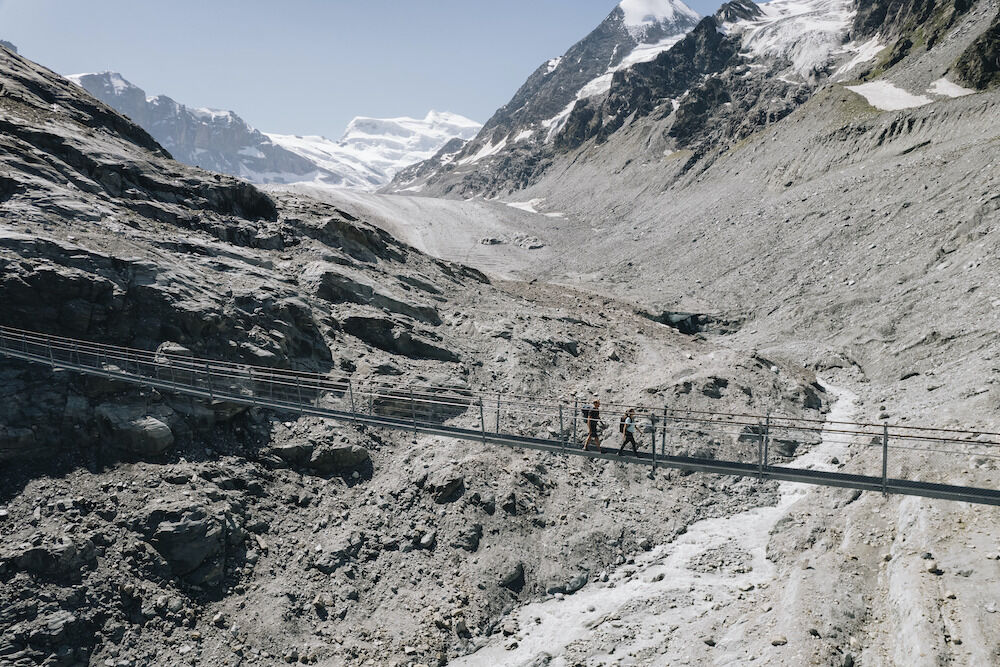
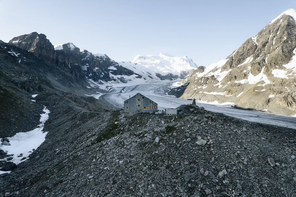
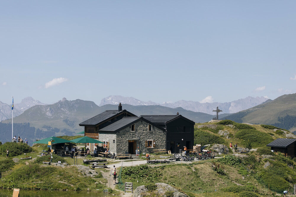
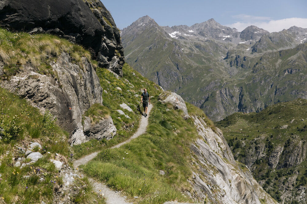

At Cabane Brunet (2,103 m above sea level), follow the signs to Cabane FXB Panossière including crossing the short suspension bridge over Dyure de Sery before reaching the side of Becca de Sery. To avoid the suspension bridge, follow the path that crosses the valley lower down: the path goes down to the left to the river and then climbs back up on the other side to the hiking trail to Cabane de Panossière (2,641 m above sea level).
From here, you can choose to either walk back to Cabane Brunet (same route, about 2h10) or cross over the Col de Avoillons (2,649 m). Then descend to the village of Fionnay on the valley floor. This hike can also be done over two days (Le Châble – Cabane Brunet – Cabane FXB Panossière – Fionnay).
NB Cabane Brunet is open from June to early October, Cabane FXB Panossière is open from late June to late September.
Da
Da
We recommend:
Good footwear Weather-dependent clothing: always carry a waterproof vest Headwear Sunscreen Water bottle Picnic Camera Binoculars (optional) Hiking poles (optional) Printout of the hiking trail (click "Print" to download)For certain hikes:
SwimsuitThe mountains, a place of joy to share and respect. The mountain world is a place to meet and experience unforgettable moments together – whether by bike or on foot. For everyone to benefit, it is essential to share this space with respect for nature and agriculture. Respectful behavior allows all to enjoy their leisure activities under the best conditions. Inform yourself about recommendations and rules. Assess your own skills and fitness well. Using the various routes is always at your own risk.
For all hikes:
Carry a map with you. Download the complete description of the hiking trail with a large-scale map by clicking "Print" at the top right of the page. Use only marked hiking trails and follow all signposts and instructions – for your safety, to protect grazing animals, and out of respect for wildlife. Close gates after passing through. Be considerate of other trail users, plants, and animals.For mountain hikes:
Carry additional sun protection. UV rays at altitude can be very strong, even in cloudy weather. Plan your hike carefully: consider the required fitness level of all participants, weather forecasts, and seasonal dependencies. Weather conditions in the mountains can change very quickly and without warning. Appropriate clothing and enough provisions (food and drink) are very important. In unsettled weather, it is better to turn back early.For high alpine hikes:
Inform your family about your hiking route. Avoid being alone if possible. Do not go onto glaciers without a mountain guide. Observe warning signals indicating dangers at riverbanks, along waterways below dams and reservoirs: water levels can rise quickly and without warning.A9 motorway to exit 22 (GD St-Bernard). Follow signs to Verbier and Le Châble, at the village entrance cross the bridge to the right and then continue to Mauvoisin. After the village of Lourtier, look out for the signposted road that turns right and continue towards Cabane Brunet.
Train from Martigny, change to the regional train to Le Châble. On foot or by taxi to Cabane Brunet. Return: from Fionnay the bus can be taken back to Châble. Free bus and train travel for guests with an overnight stay in Val de Bagnes with the Verbier Infinite Playground Pass (VIP Pass). Detailed train and post bus timetables can be found at sbb.ch.
There is free parking near Cabane Brunet.
More information about the destination:
Verbier / Val de BagnesBe sure to take a break at both mountain huts and try the homemade fruit cakes.




Priljubljeni izleti v okolici
- 3.5
Circular hike to Cabane des Aiguilles Rouges and Lac Bleu
težkoPohodništvo 14.1 km - 5.0
Sentier des bouquetins
srednjaPohodništvo 8.73 km - 4.7
Cleuson Dam
srednjaPohodništvo 11.5 km From Savoleyres to the mountain lake Lac des Vaux
srednjaPohodništvo 14.0 km- 4.0
Sentier des Chamois
težkoPohodništvo 11.6 km Around the Mauvoisin reservoir
težkoPohodništvo 22.0 km- 3.0
Via ferrata in the Mauvoisin Gorge
srednjaVia ferrata 1.77 km Arolla - Vignettes
srednjaSmučarska tura 5.04 kmSentier des Sens La Tzoumaz (Path of the Senses)
svetlobaPohodništvo 5.42 km- 4.0
Six blanc depuis Cabine
srednjaSmučarska tura 5.85 km
Pohodništvo in sledenje


Ne zamudite ponudb in navdiha za naslednje počitnice
Vaš e-poštni naslov je bil dodan na poštni seznam.





