


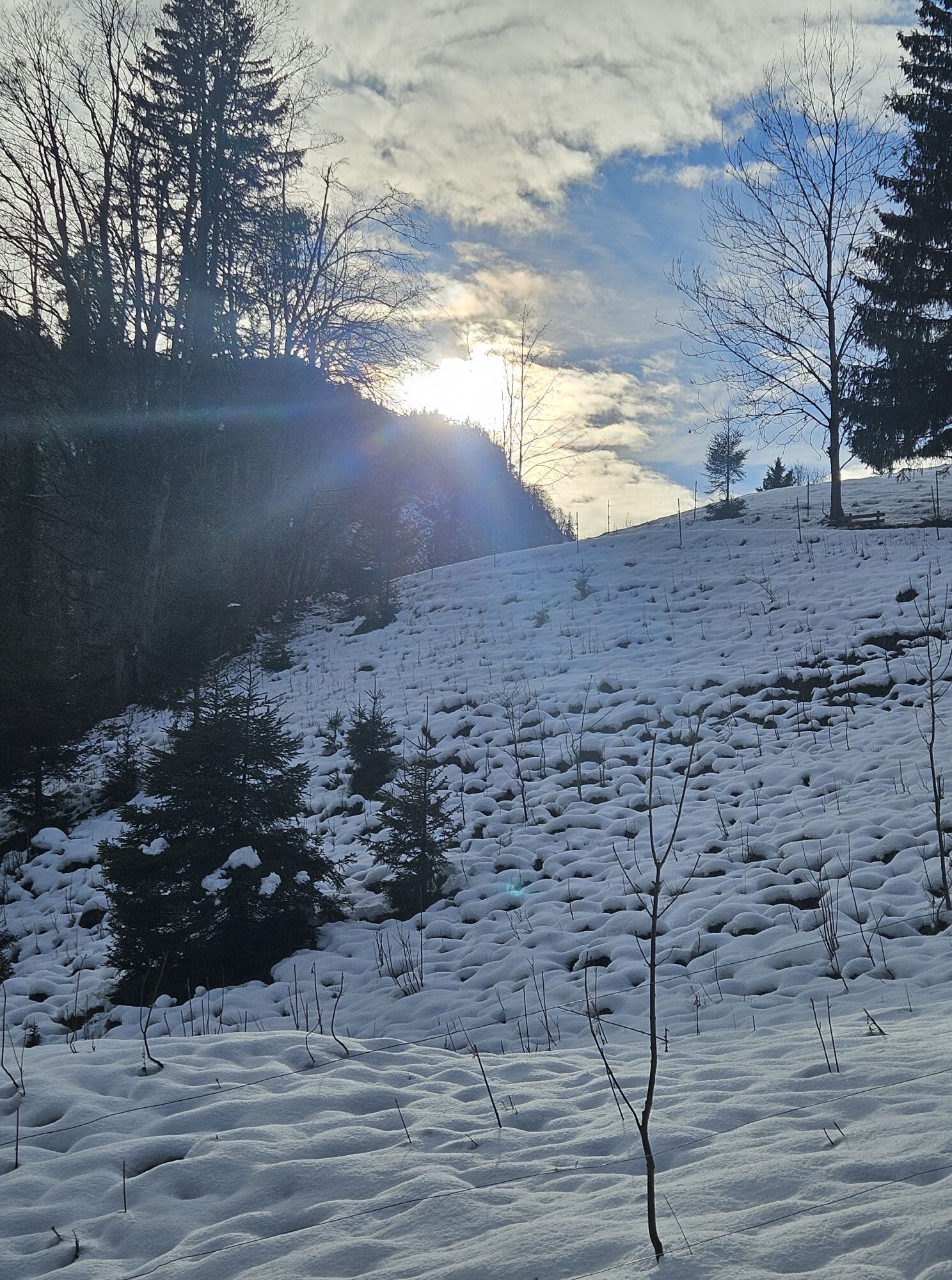
Bannwaldseerunde
Stopnja težavnosti: 4


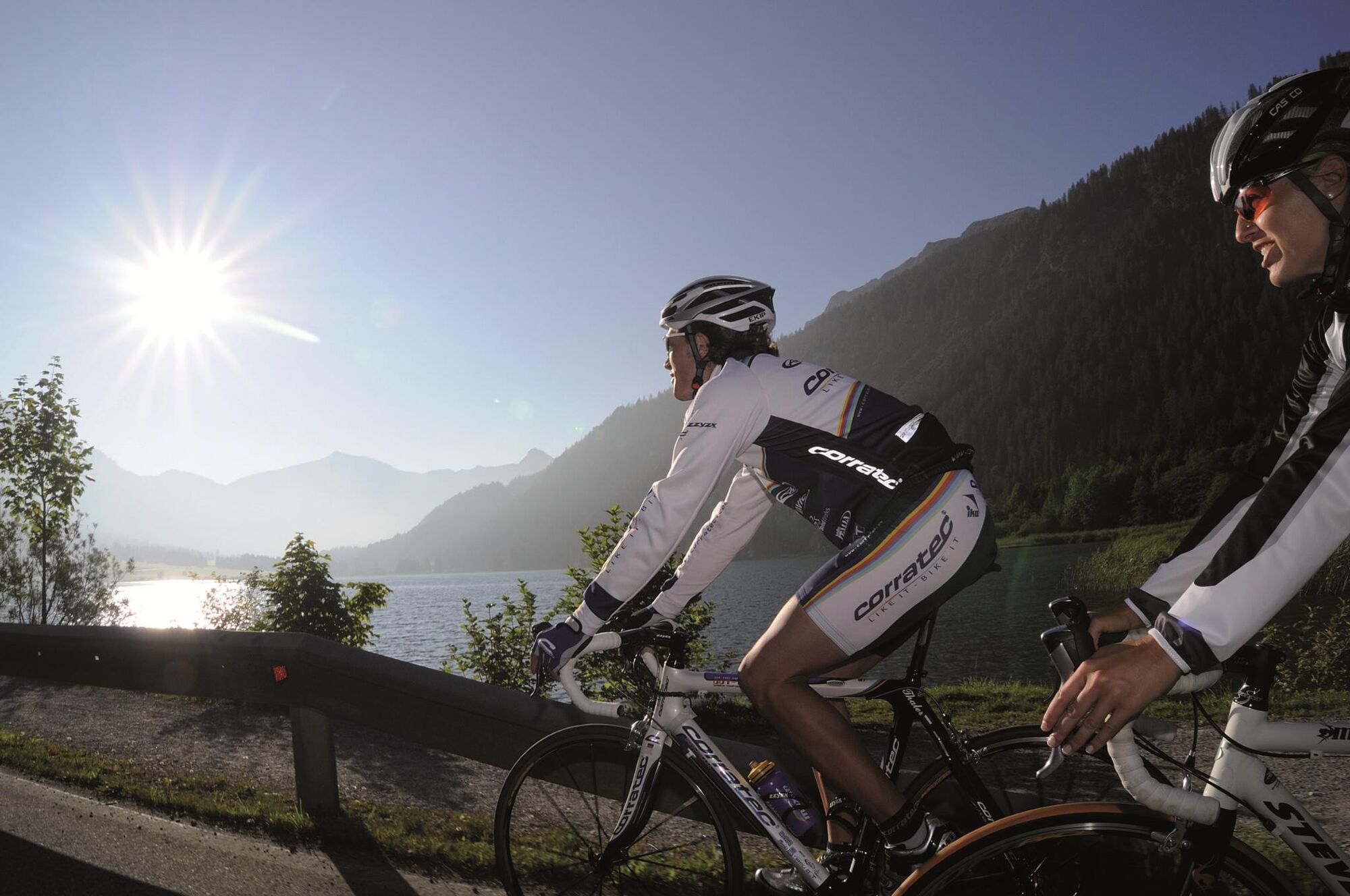
The Tannheimer Tal has been well known among cyclists for some time, as in 2001 the peloton of the Austrian Cycling Tour passed through the valley. In 2005, the professional cyclists of the Bavaria Tour...
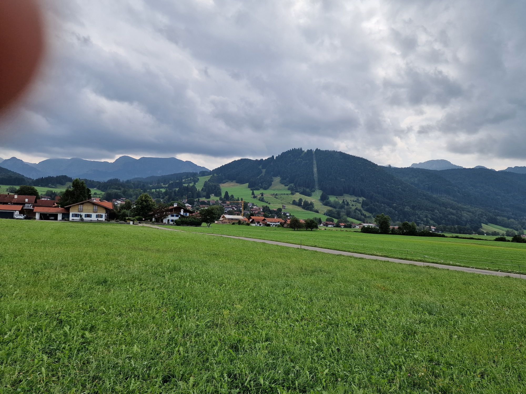
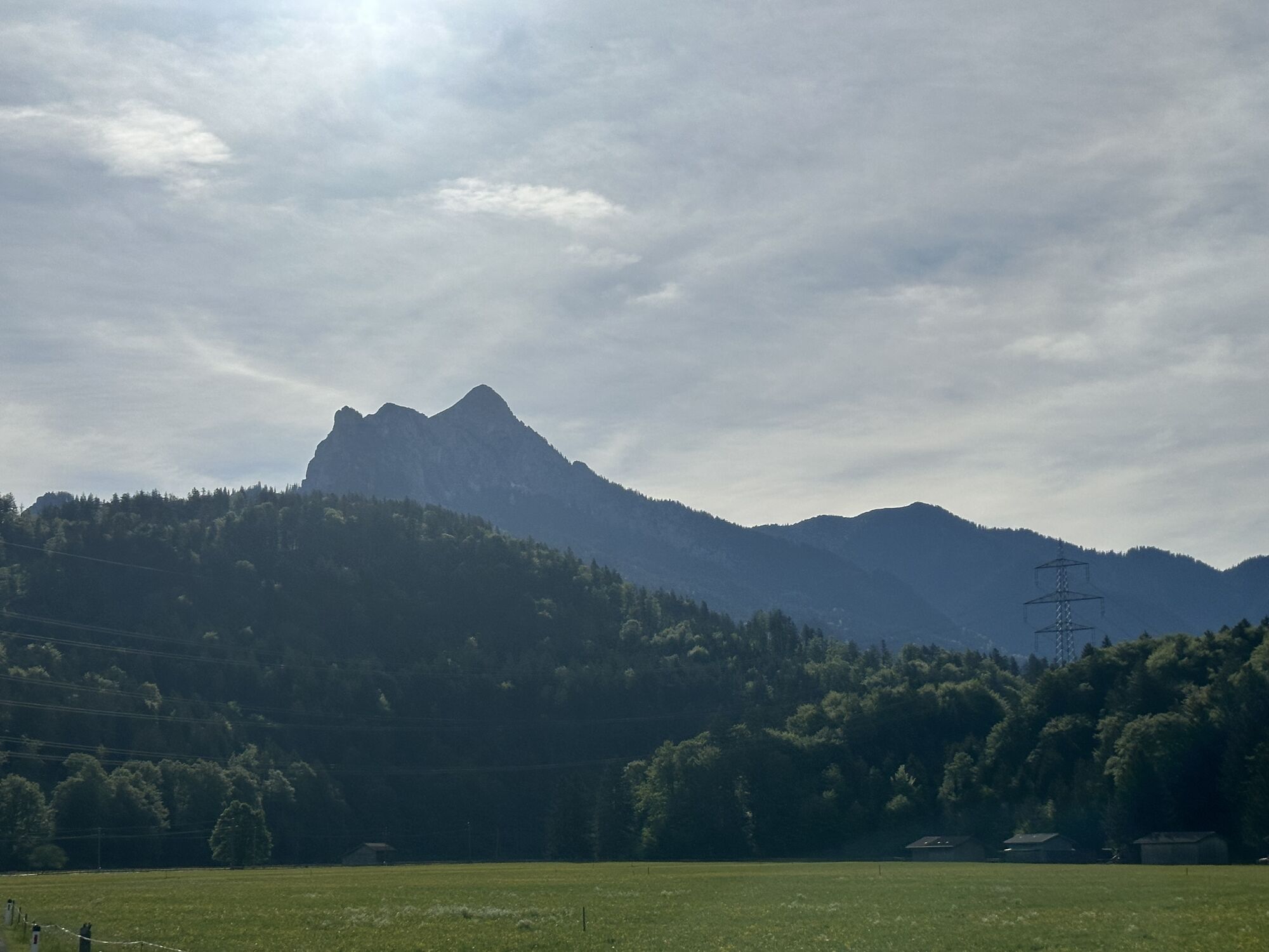
The Tannheimer Tal has been well known among cyclists for some time, as in 2001 the peloton of the Austrian Cycling Tour passed through the valley. In 2005, the professional cyclists of the Bavaria Tour came to the start stage on Tyrolean soil and were rewarded with the Tannheimer Tal and Jungholz mountain classifications. Even professionals noticed the scenic charms of the "probably most beautiful high valley in Europe." Lush green meadows, the Haldensee and a beautiful mountain backdrop accompanied the pros on their race kilometers. Thus, the Tannheimer Tal has also established itself as an ideal region for targeted training or extended rides. "The Tannheimer Tal is an ideal starting point for long road bike rides to the surrounding regions such as Lake Constance or the Arlberg," says Michael Keller, managing director of the Tannheimer Tal Tourism Association and former Austrian mountain bike national coach. Cyclists find in the Tannheimer Tal not only an ideal starting point but also a wide range of accommodations. From 5-star hotels to private rooms you can choose your accommodation. After a nice ride, relax your soul and recharge your energy. - The Tannheimer Tal
Road bike booklet "The most beautiful road bike routes around the Tannheimer Tal".
Available in all tourist offices in the Tannheimer Tal and Jungholz.


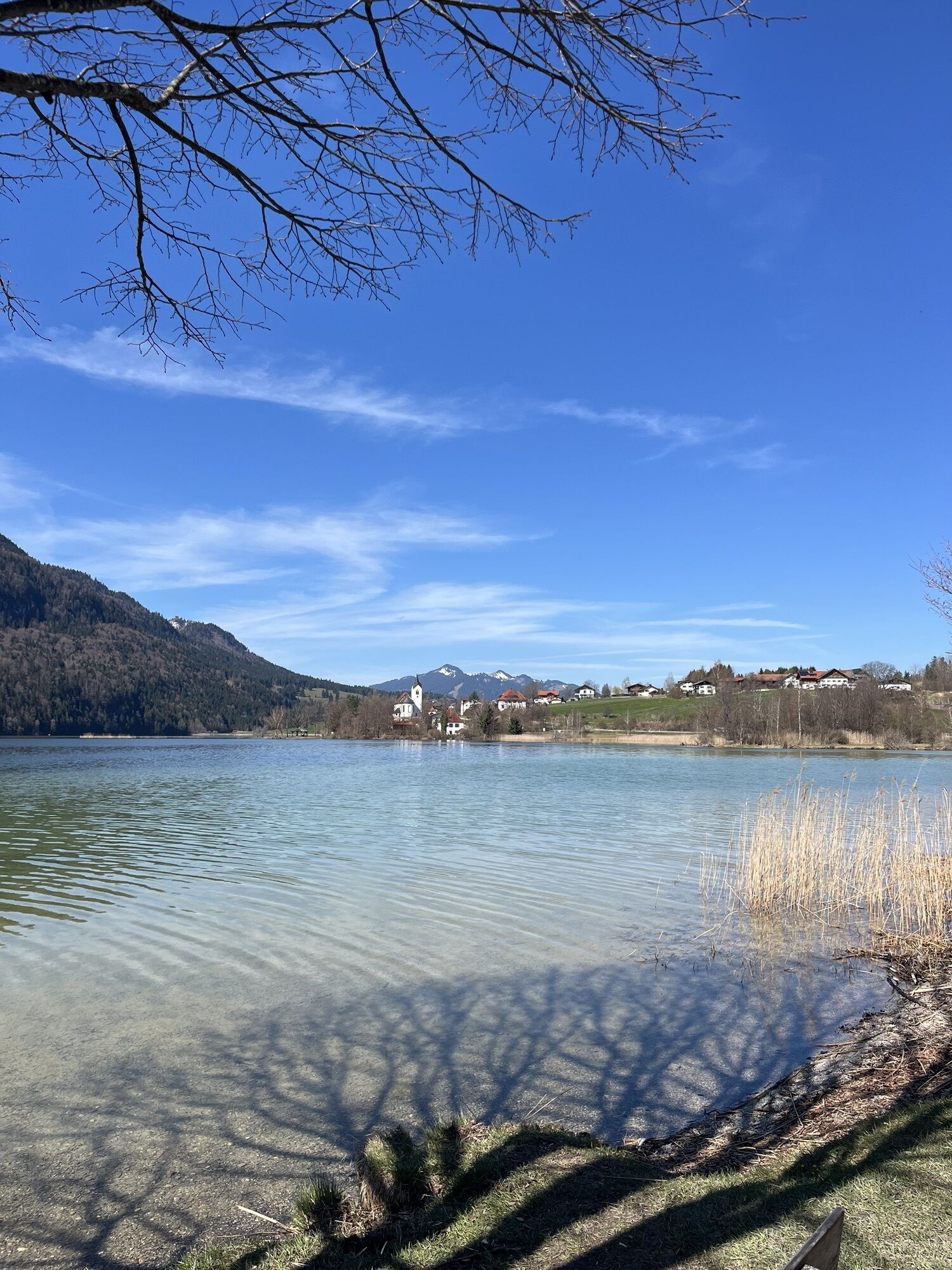
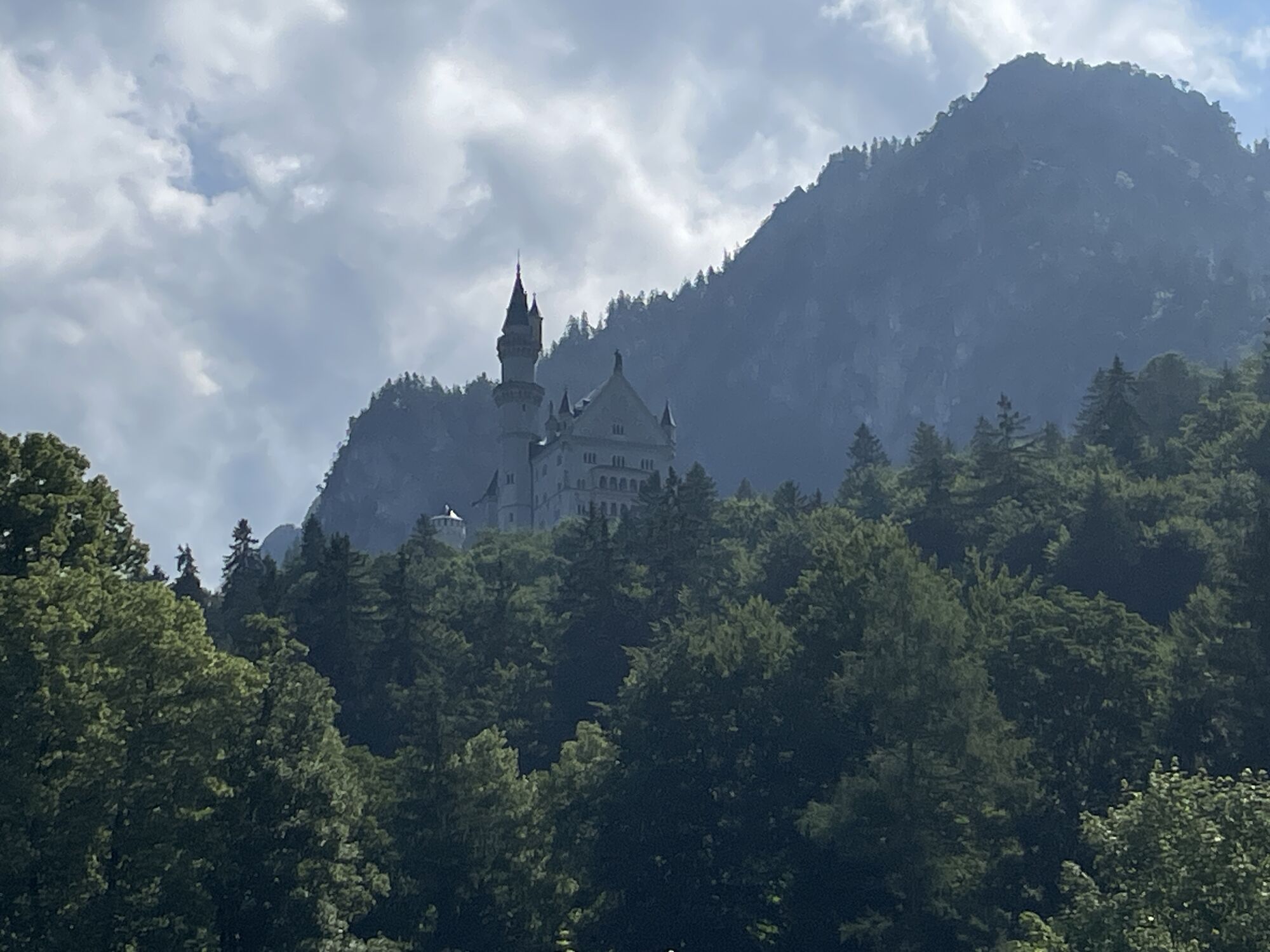
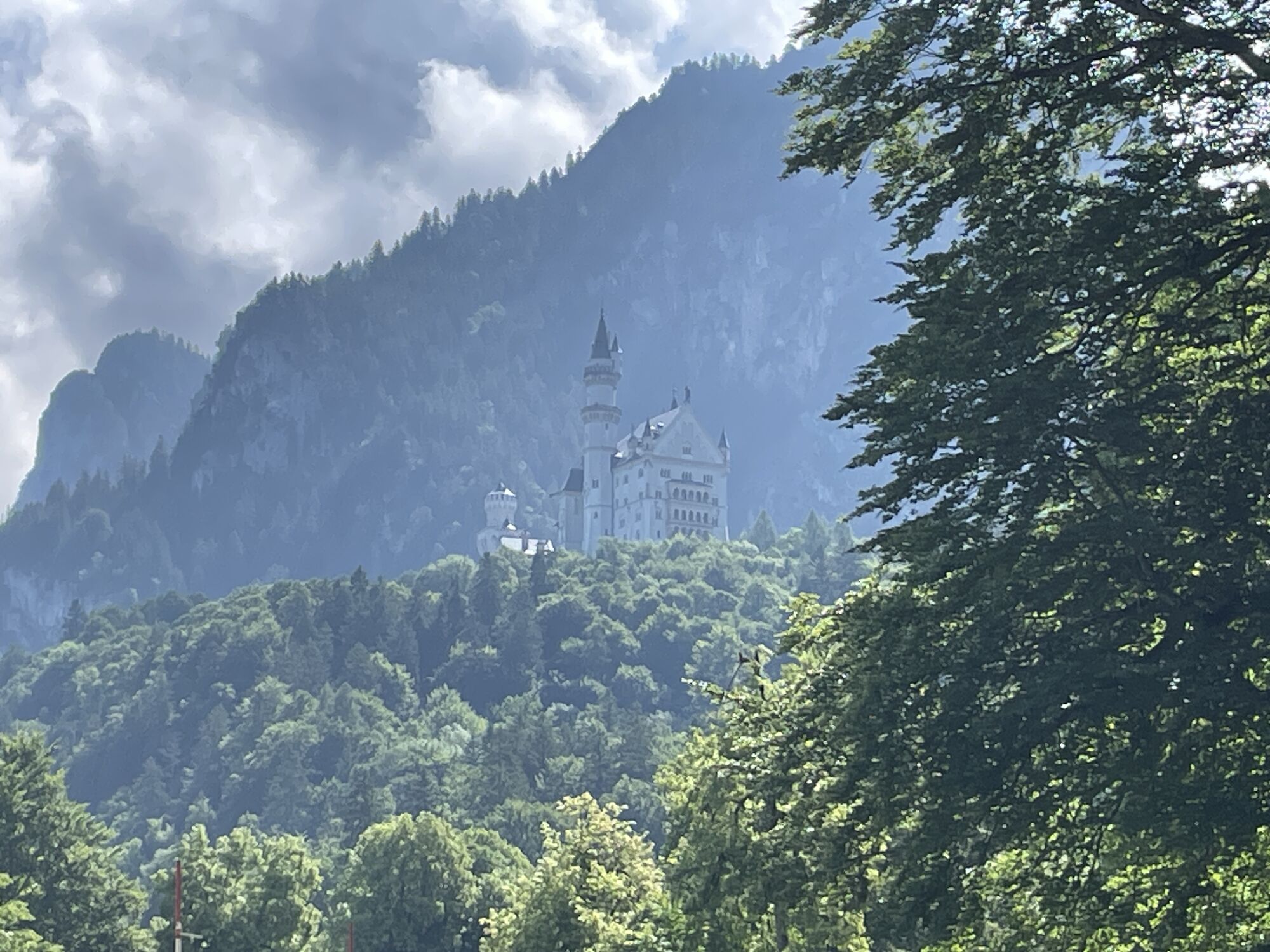
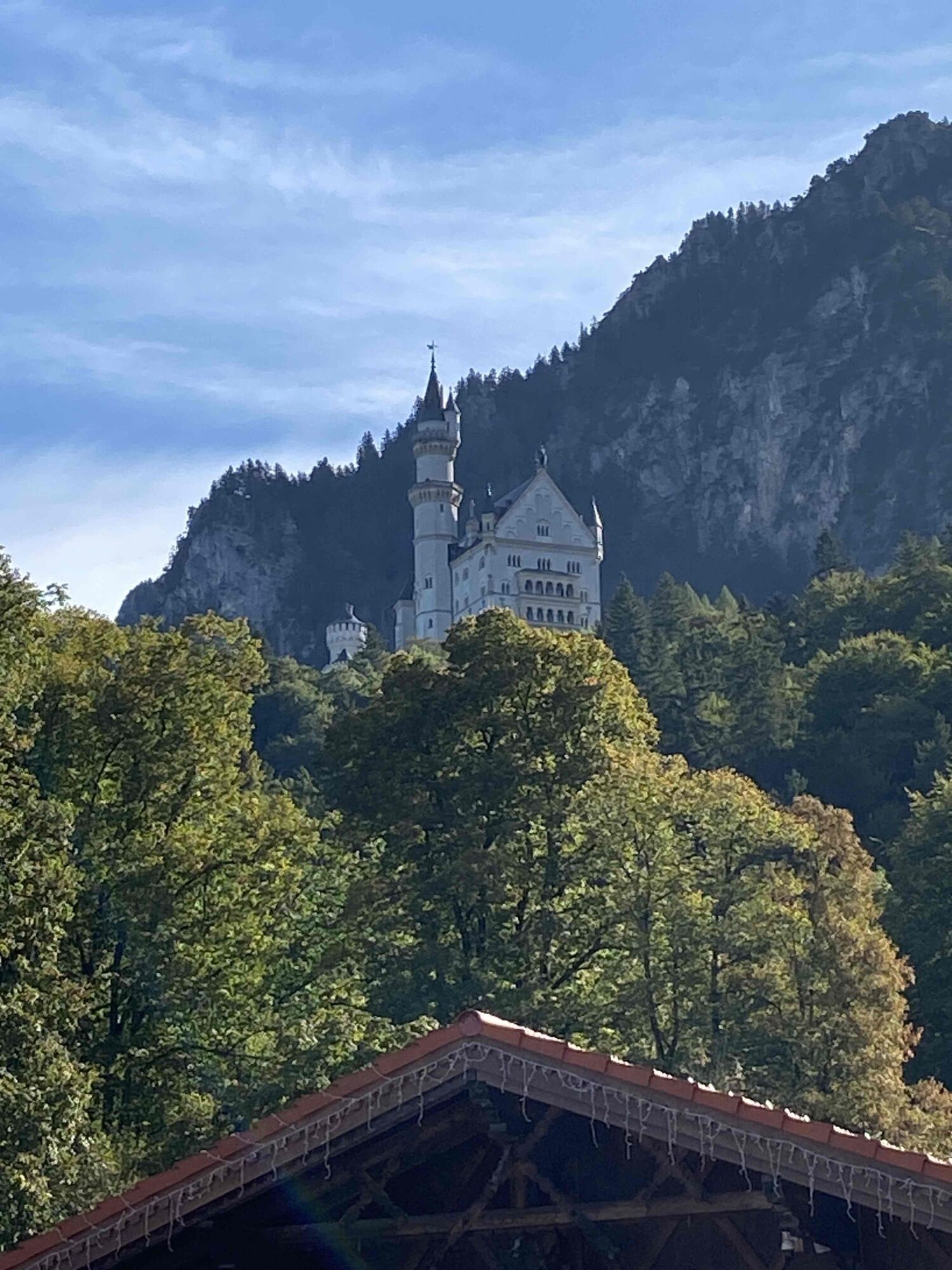
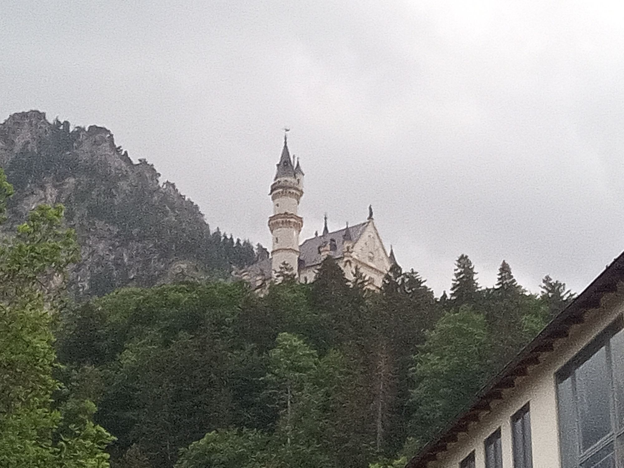
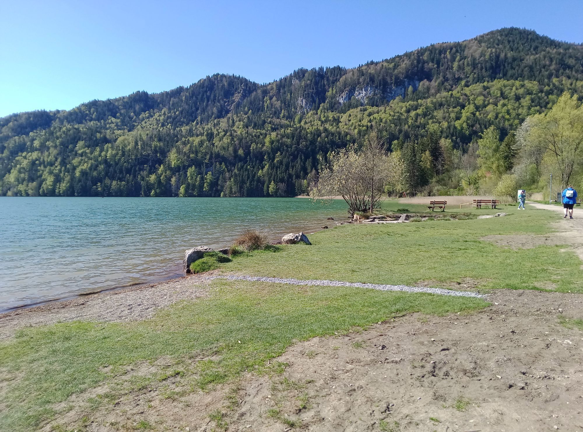
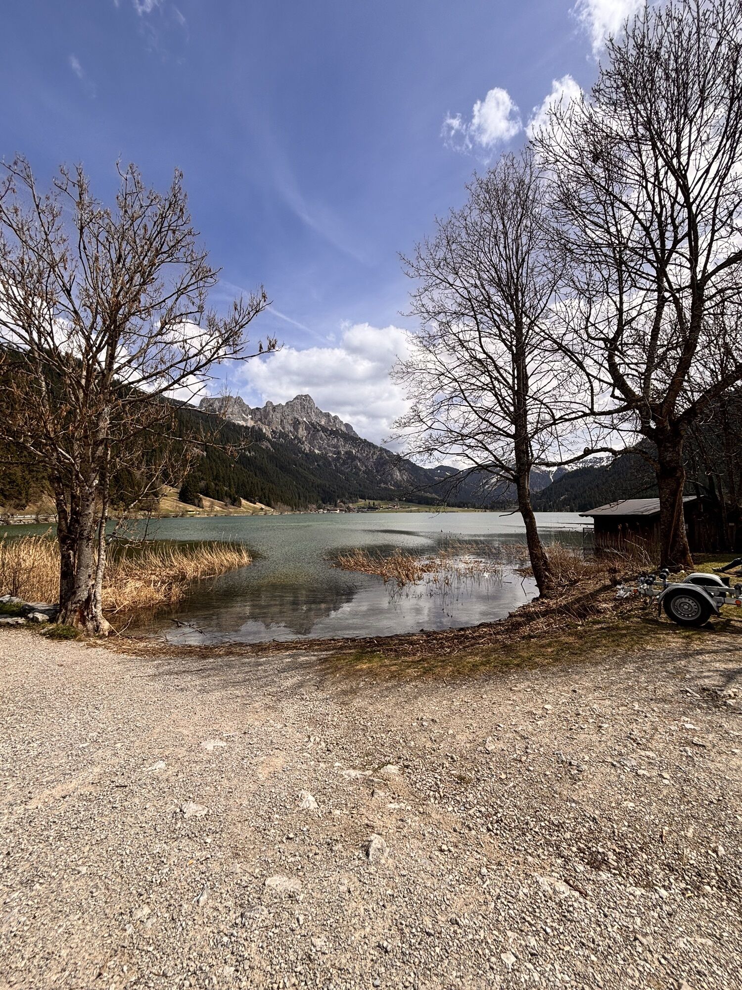
Start at the tourist information in Tannheim heading east, past Nessewängle and down the valley via Gaichtpass to Weißenbach. At the roundabout, take the 4th exit and follow the road to Reutte. At the first roundabout take the 2nd exit. At the second roundabout go straight ahead, at the third roundabout take the exit towards the train station. Follow the road towards Pflach/Füssen. In Pflach, turn right towards Pinswang and then a short climb over the Kniepass follows. Continue to the Ulrichsbrücke and turn right there towards Füssen. At the Lech bridge turn right again, then turn right before Alterschrofen to Hohenschwangau. In the center of the village turn left towards Buching. At the shore of Bannwaldsee turn left onto the bike path leading to Bayerniederhofen. There follow the road towards Kniebis. At the Greith junction turn left and follow the road. Pass Hegratsriedersee and along the shore of Forgensee to Schwangau. Continue towards Füssen and go straight at the traffic light-controlled intersection. At the roundabout take the third exit towards Pfronten/Vils. At the next roundabout take the first exit and follow the road until the traffic light-controlled intersection. Turn left towards Pfronten. Pass Weißensee and follow the B310 to the roundabout. Take the second exit there to Pfronten-Rieden. After the railway crossing in Pfronten, turn right and at the next intersection follow the signs for Tannheimer Tal. In Pfronten-Steinach turn right before the church towards Tannheimer Tal through the Engetal on the L261 to Grän. At the Grän/Haldensee intersection turn right to Tannheim back to the starting point.
Personal equipment must be safe and functional and meet the respective technical standards. Every road cyclist is advised to inform themselves about the planned routes in specialist literature or locally.
Complete road bike equipment is highly recommended even for experienced cyclists!
The StVO applies. General valid and usual rules of conduct.
It should be noted that there can be an increased risk of accidents and injuries in road cycling. Despite careful route planning, a basic risk always remains. Preparing for the route through endurance sports, appropriate training and further education, as well as personal caution reduces the risk of accidents and dangers.
On the A7 motorway take the "Oy-Mittelberg" exit onto the B310 towards Wertach and then to Oberjoch. There follow the signs "Tannheimer Tal" B199, exit Tannheim. From the Tyrol side via Reutte onto the B198 towards Lechtal to Weißenbach, over the Gaichtpass along the B199 to the Tannheim exit.
By train to Sonthofen, Pfronten/Ried, or Reutte, then continue by bus to Tannheim.
Parking spaces at the Neunerköpfle cable car in Tannheim – subject to charges.
4
Tourismusverband Tannheimer Tal
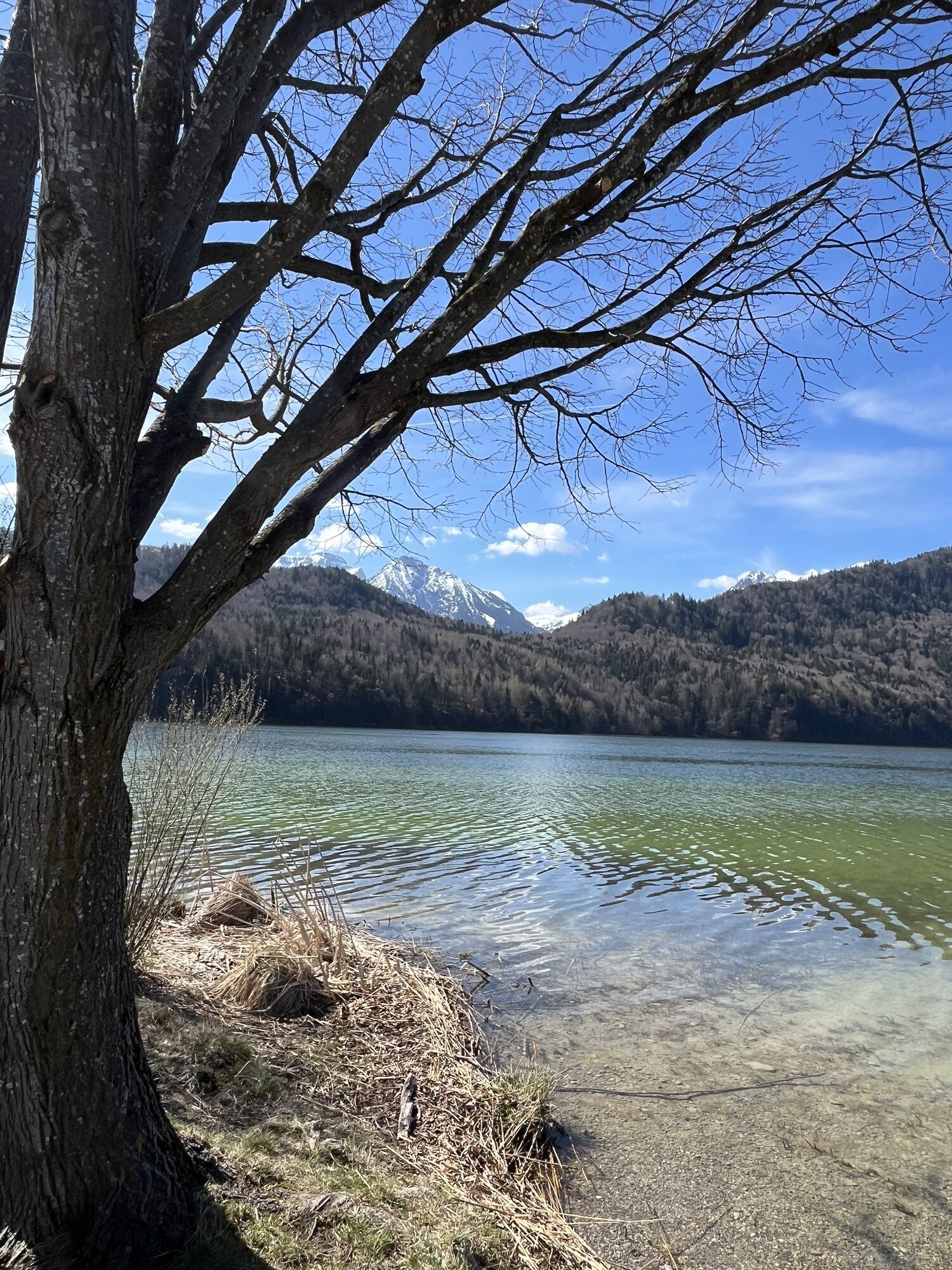
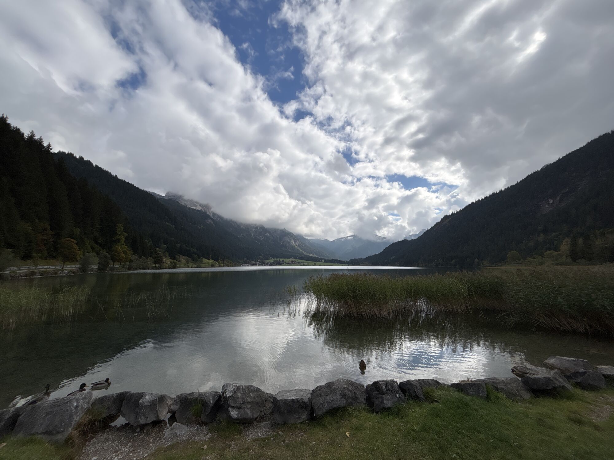
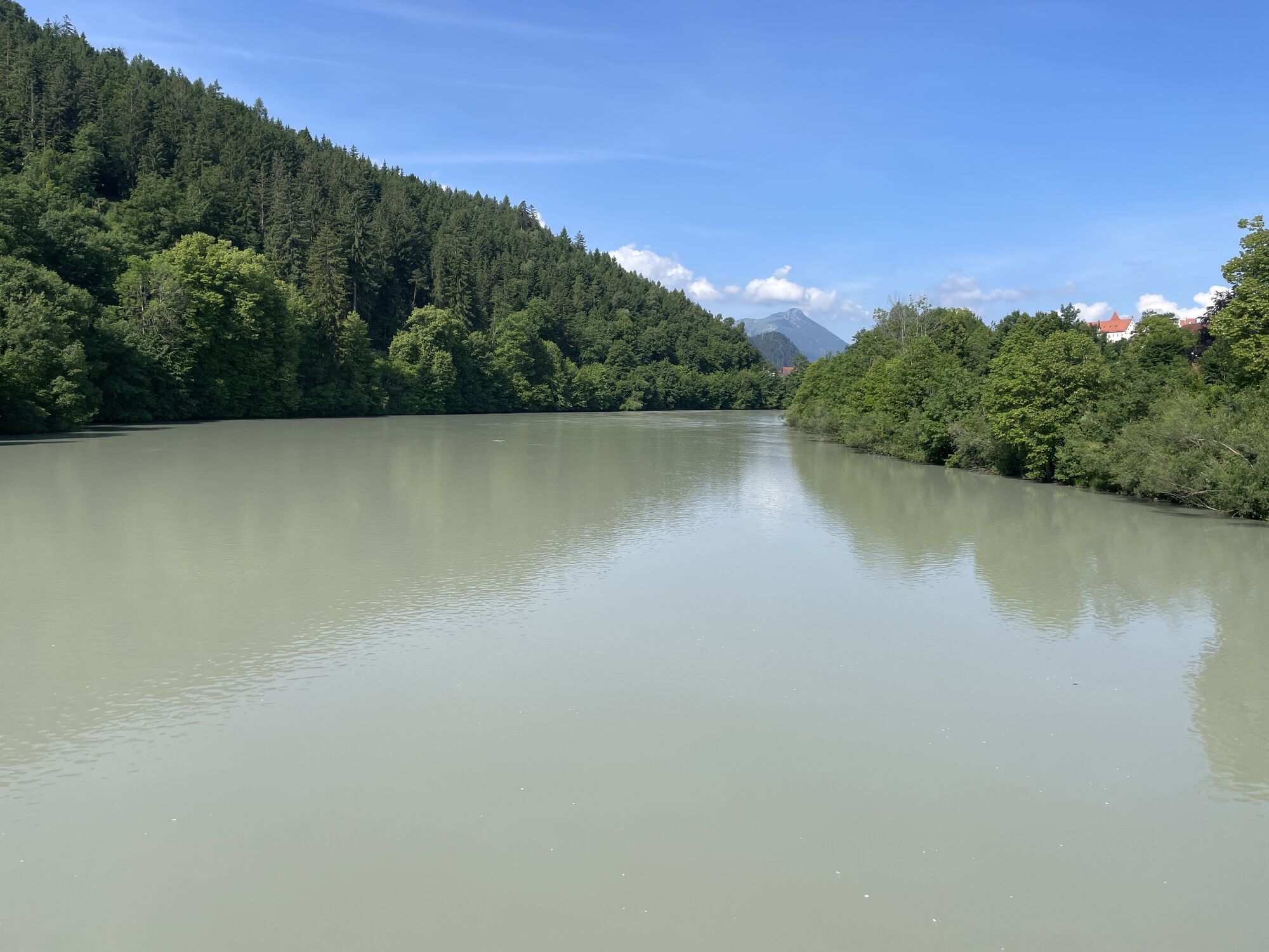
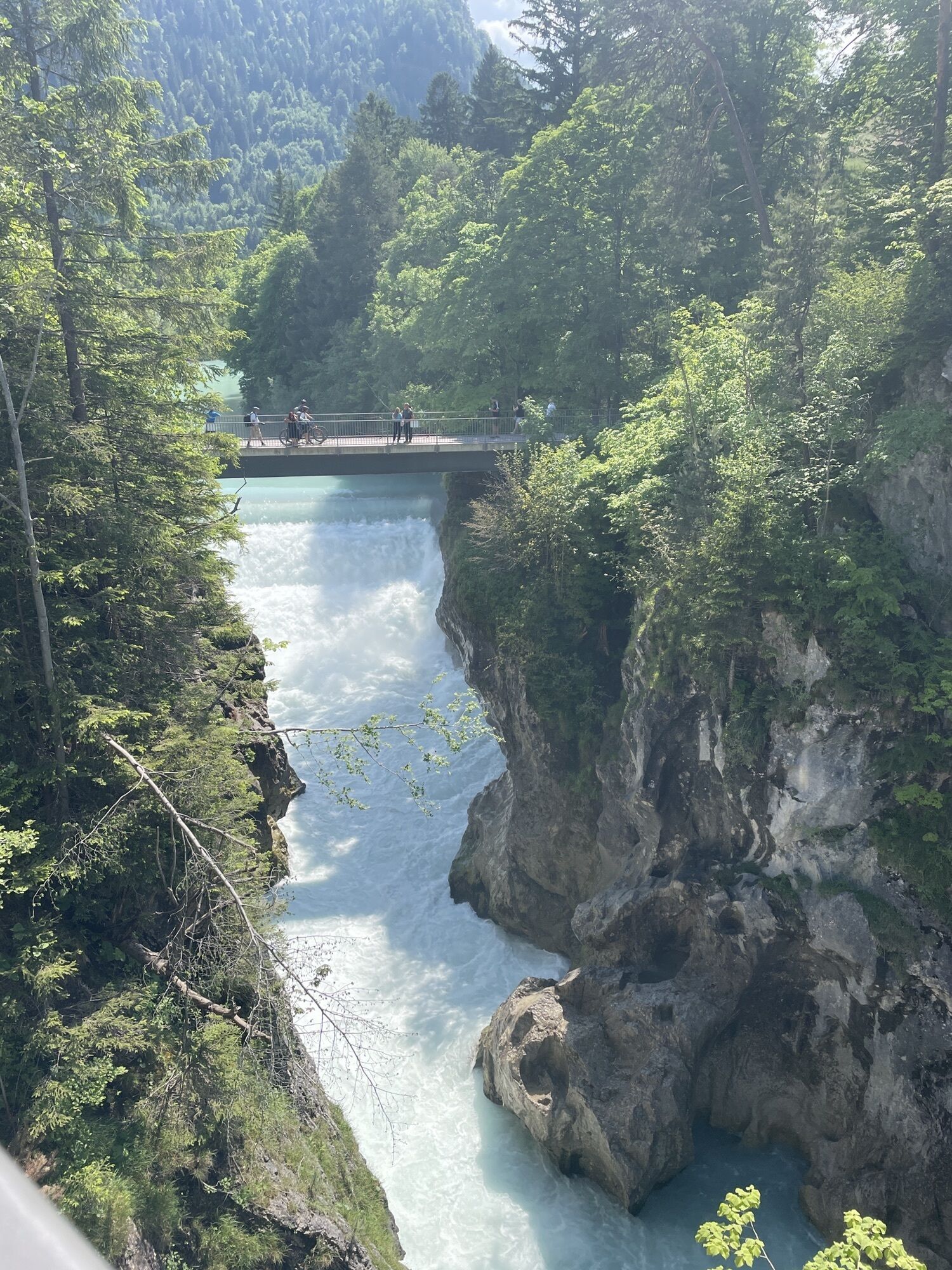
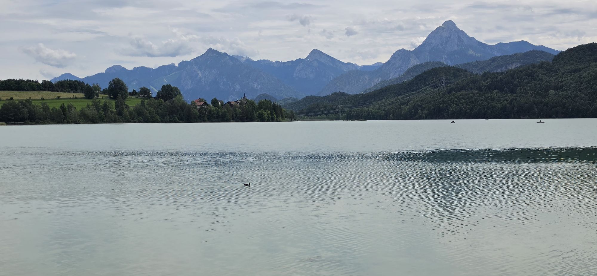
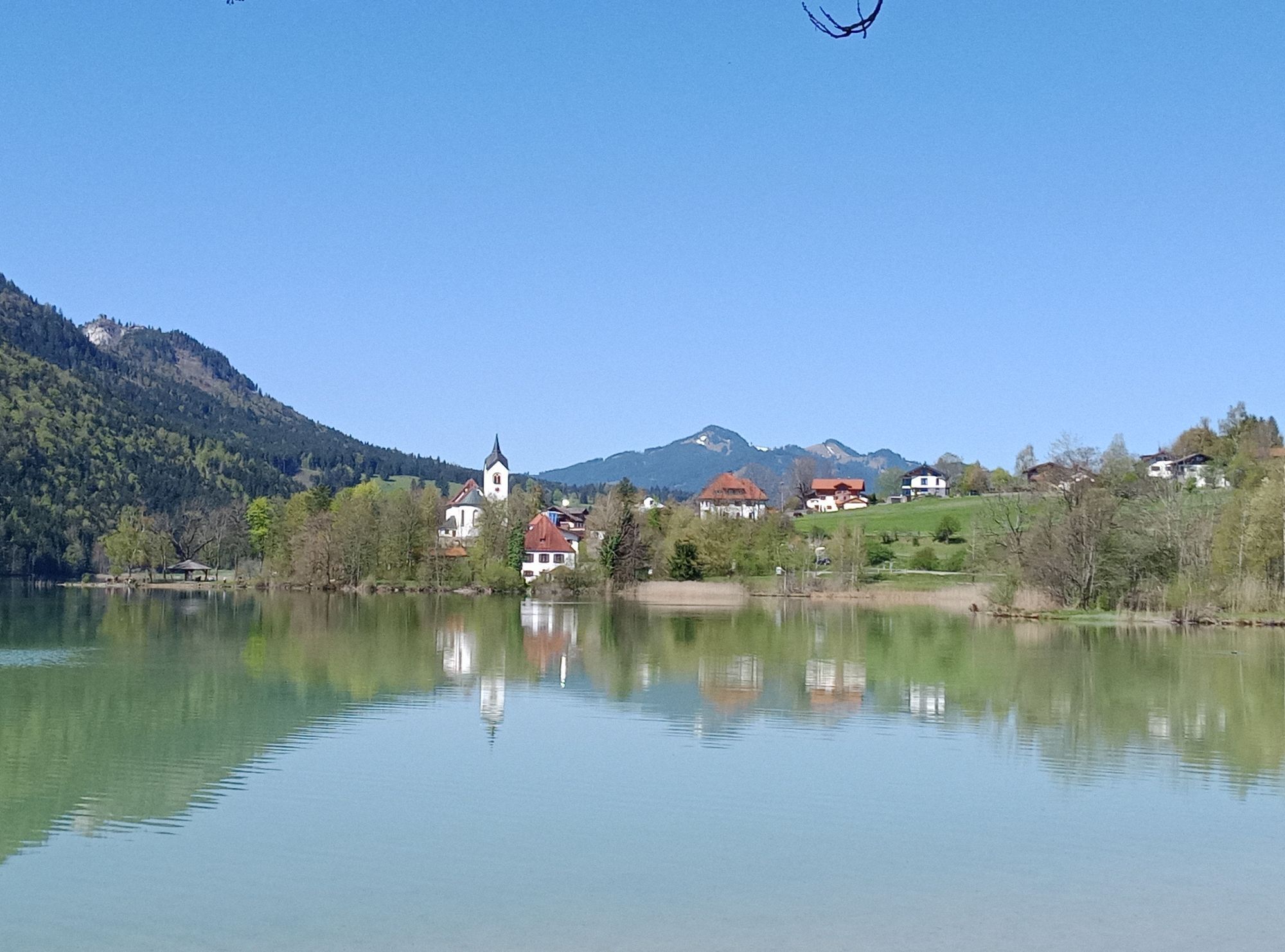
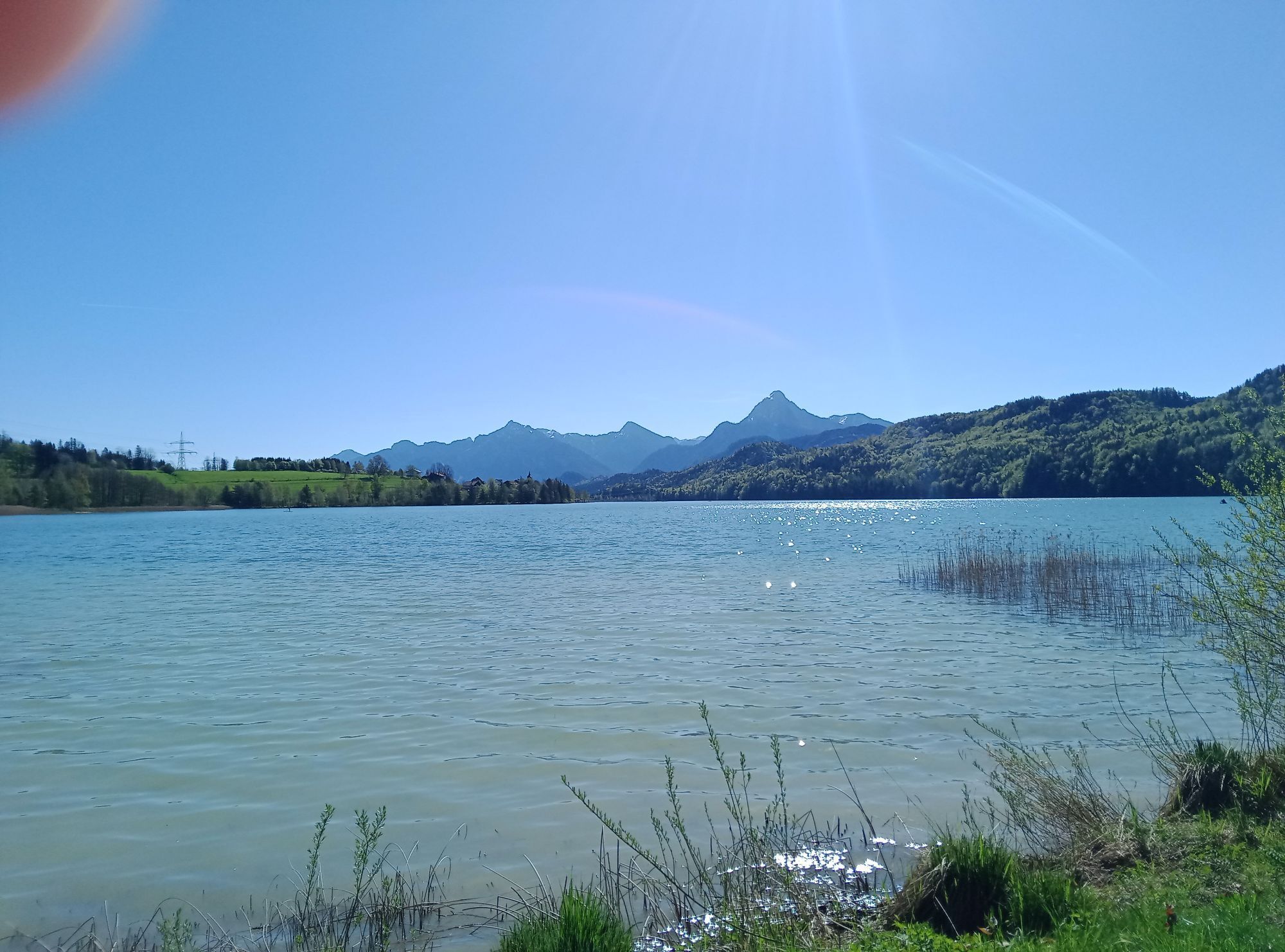
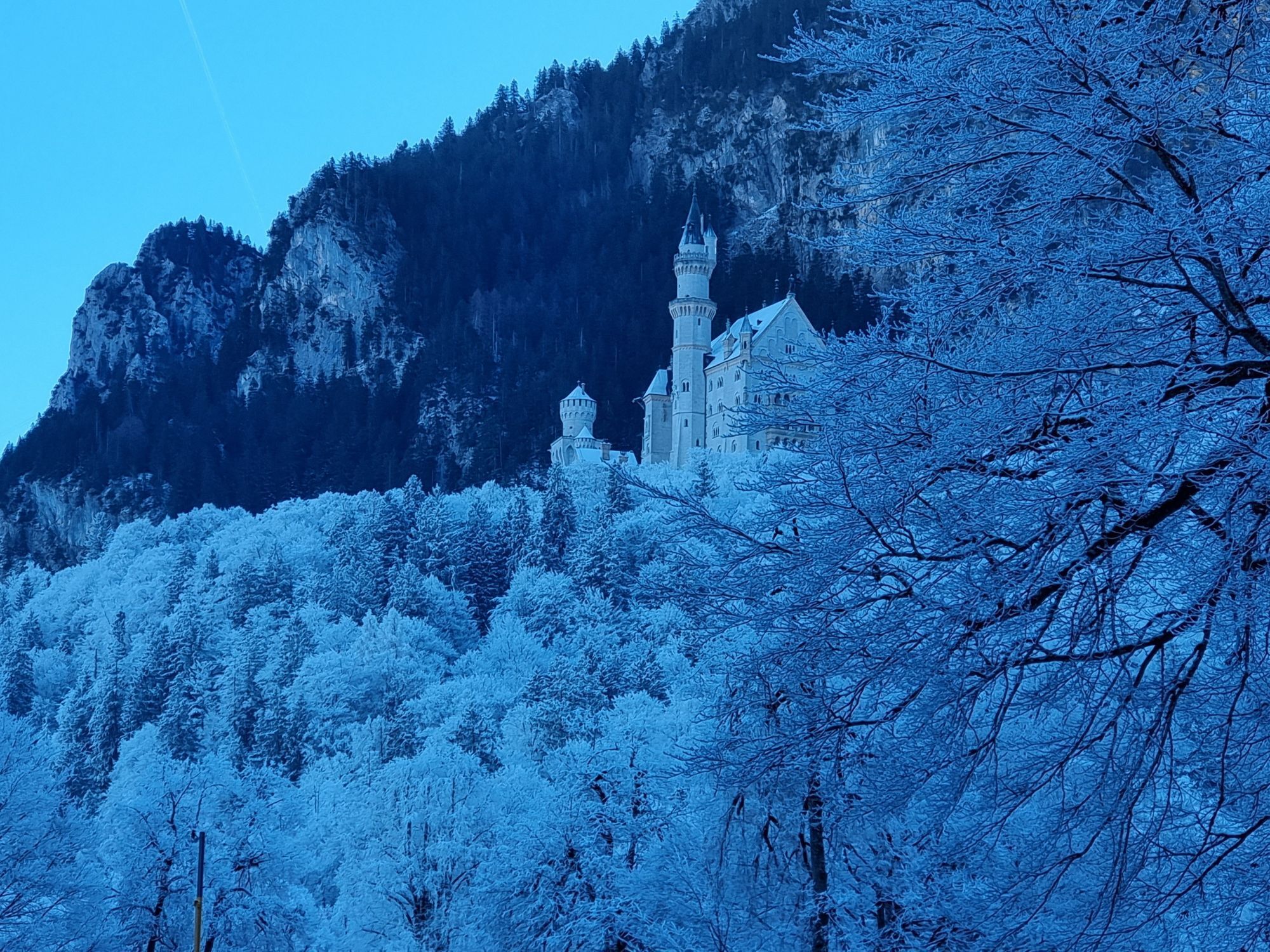
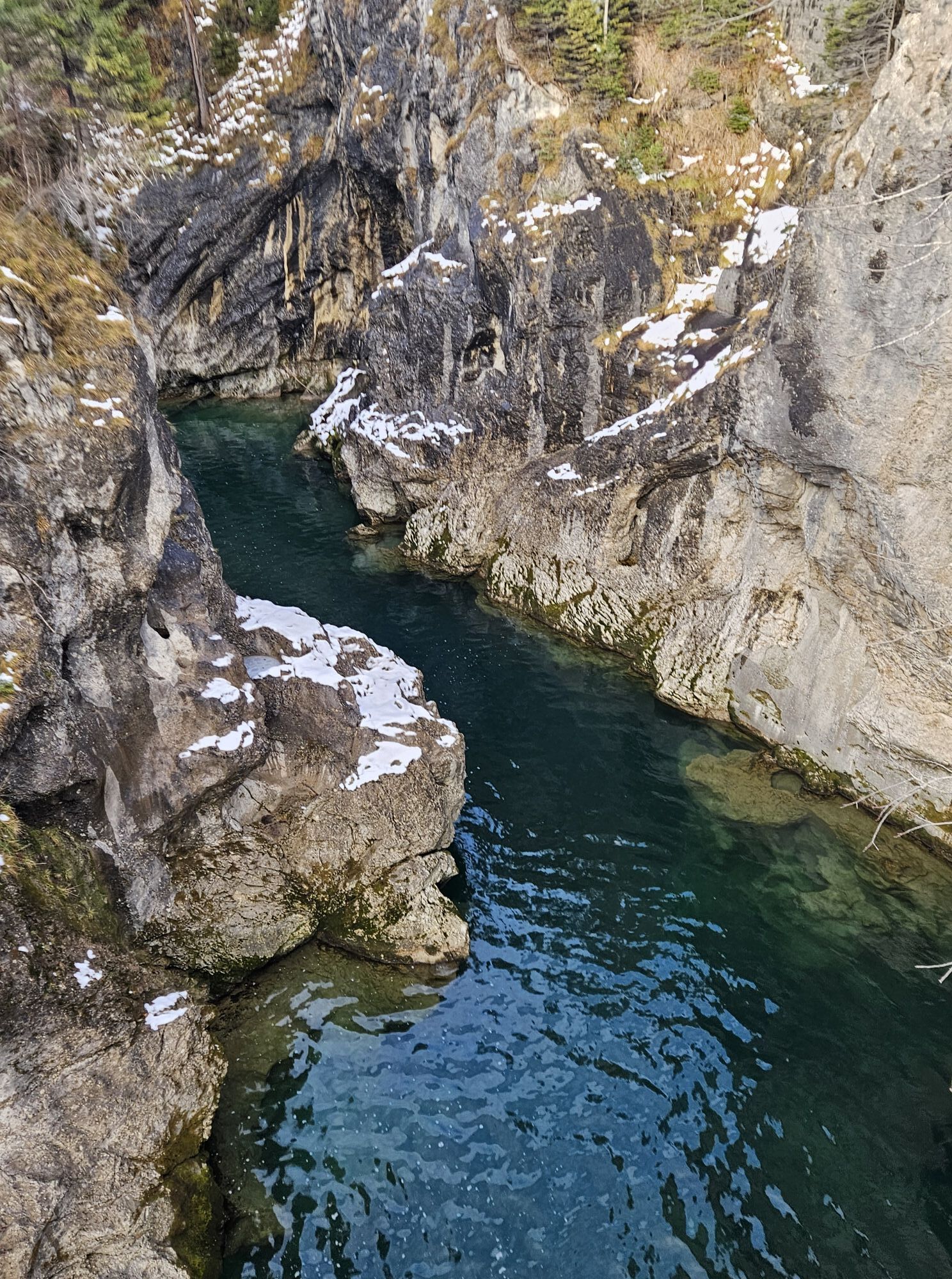
Take a short break and enjoy the magnificent surroundings of Bannwaldsee
Spletne kamere s turneje
Tannheim
Talstation
Tegelbergbahn Bergstation
Höfen Flugplatz
Höfen Flugplatz
Neunerköpfle Mittelstation
Haldensee - Neunerköpfle
Skizentrum Steinach / Pfronten
Breitenberg Bergstation
Kesselmoos und Hochalpbahn
Tegelberghaus
Pfronten-Halden / Hotel Zugspitzblick
Füssen - Wellness Hotel Sommer
Segelclub Füssen
Weißenbach - Hotel Florence
Pfronten - Boutique Hotel Blaue Burg Falkenstein
Grän - Almdorf Tirol
Neunerköpfle Mittelstation
Neunerköpfle Mittelstation
Neunerköpfle Mittelstation
Neunerköpfle Mittelstation
Neunerköpfle Mittelstation
Neunerköpfle Mittelstation
Neunerköpfle Mittelstation
Camping Hopfensee
Camping Hopfensee
Hopfen am See - Restaurant Fischerhütte
Panoramarestaurant Hahnenkamm
Talstation
Talstation
Talstation
Talstation
Tegelbergbahn Bergstation
Tegelbergbahn Bergstation
Tegelbergbahn Bergstation
Tegelbergbahn Bergstation
Talstation
Talstation
Pfronten - Ostlerhütte
Eisenberg - Burgruine
Priljubljeni izleti v okolici
- 4,8
Around Weißensee
svetlobaPohodništvo 6,12 km - 5,0
Hiking tour to Breitenberg
težkoPohodništvo 15,6 km - 4,1
Drehhütte
svetlobaPohodništvo 3,34 km - 4,7
Yellow Wall Trail, Tegelberg (A)
srednjaVia ferrata 3,65 km - 4,4
Circular hike Dreh- and Rohrkopfhütte
svetlobaPohodništvo 8,76 km - 5,0
Gemeinde Grän, Tirol/Österreich Aggenstein Rundtour über Höhenweg
srednjaPohodništvo 9,84 km - 4,9
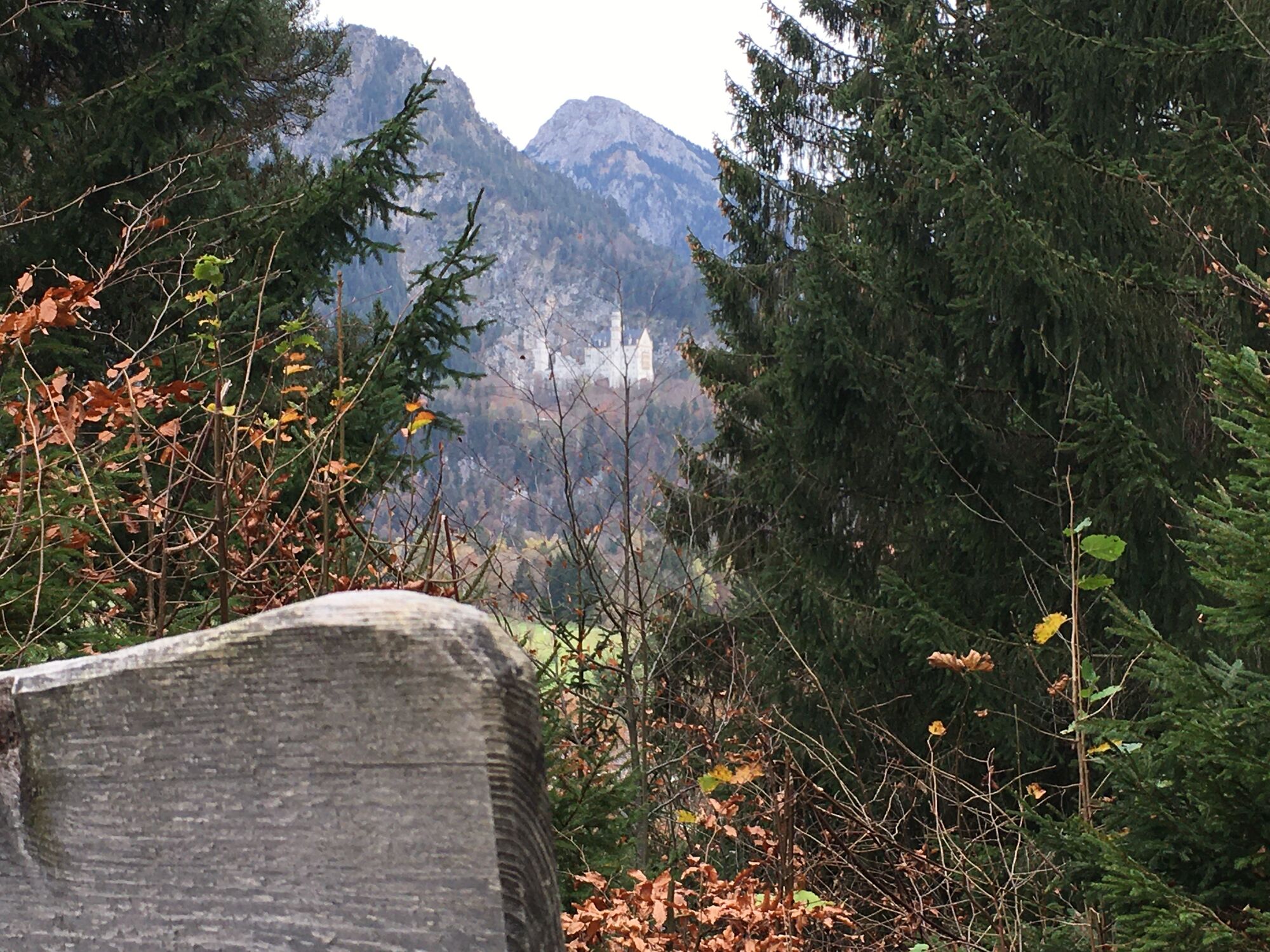
Tegelberg | Branderschrofen | Neuschwanstein
srednjaPohodništvo 14,8 km - 4,8
Tannheim / Vilsalpsee / Landsberger Hütte
srednjaPohodništvo 15,7 km - 4,2
Cultural trail Schutzengelweg
srednjaPohodništvo 5,13 km - 4,2
Three-lake route (awarded the Tyrolean Hiking Trail Seal of Quality)
srednjaPohodništvo 14,8 km
Pohodništvo in sledenje


Ne zamudite ponudb in navdiha za naslednje počitnice
Vaš e-poštni naslov je bil dodan na poštni seznam.