







Three-lake route (awarded the Tyrolean Hiking Trail Seal of Quality)
The hike is again normally passable via the Traualpe to the Vilsalpsee.
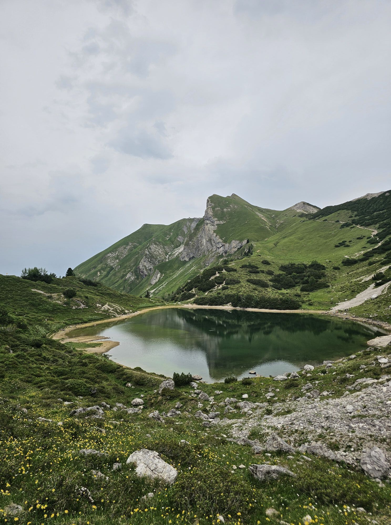
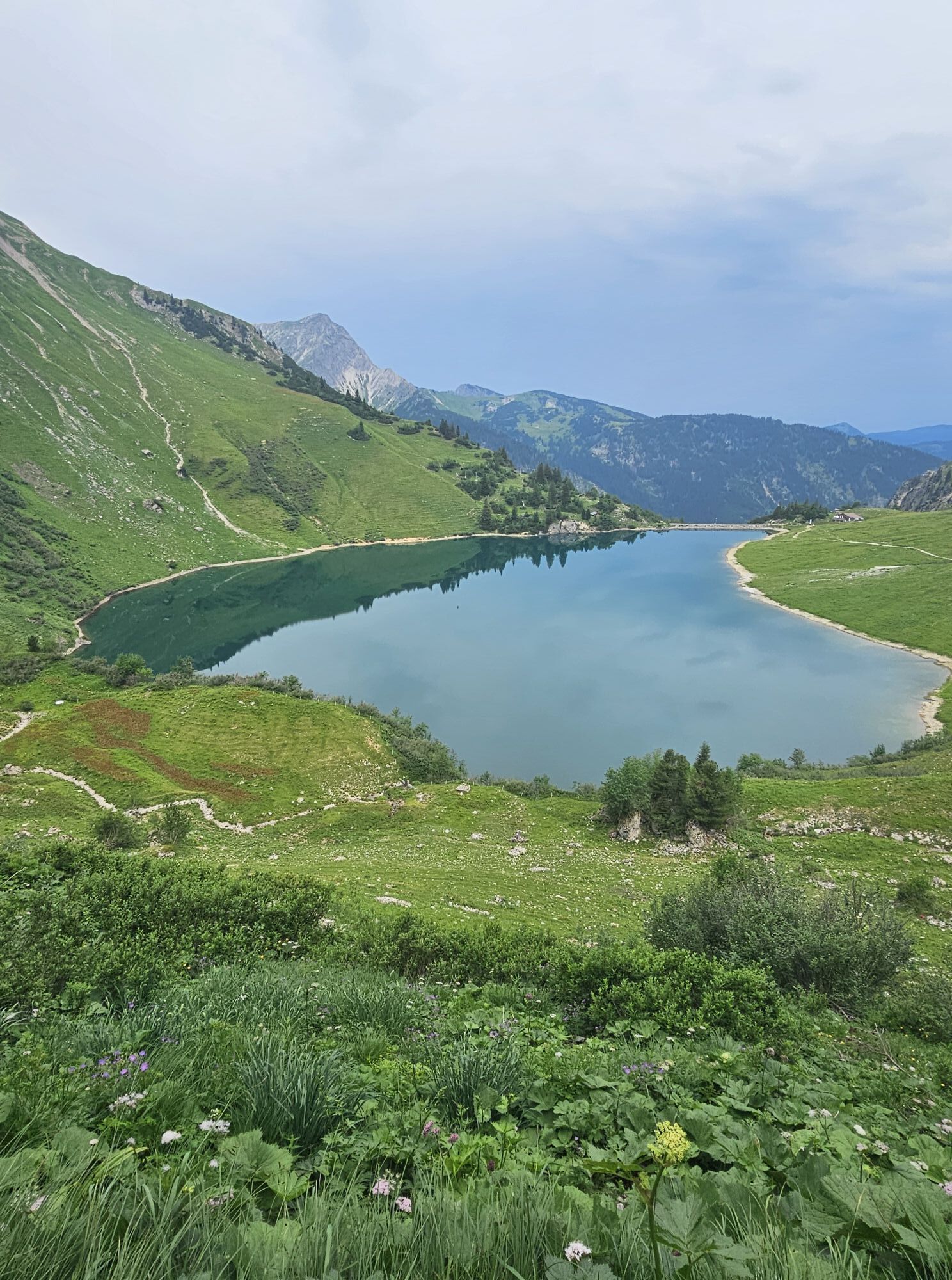
Two small summits, a magnificent panoramic path, bright blue lakes, and blooming alpine meadows enrich this varied hike. A gondola...
The hike is again normally passable via the Traualpe to the Vilsalpsee.
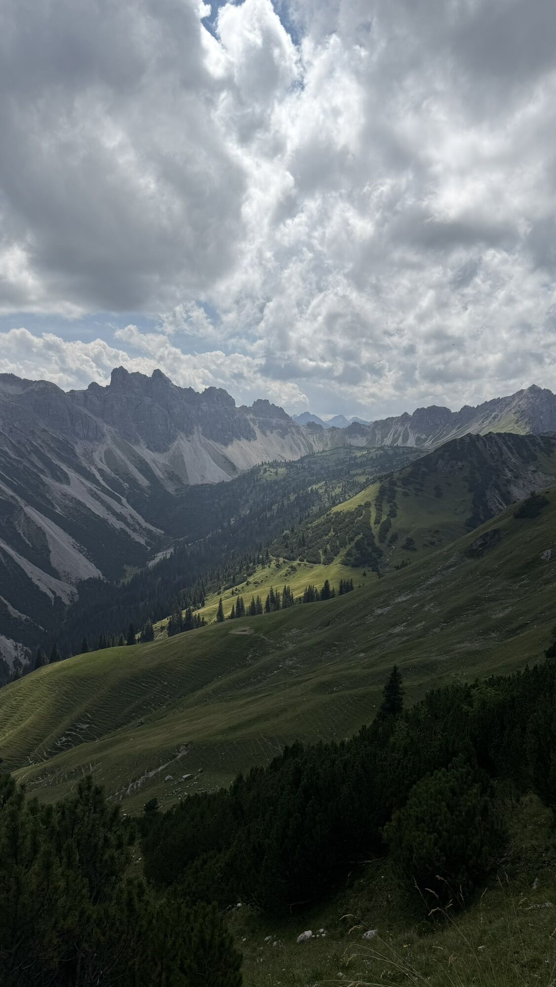
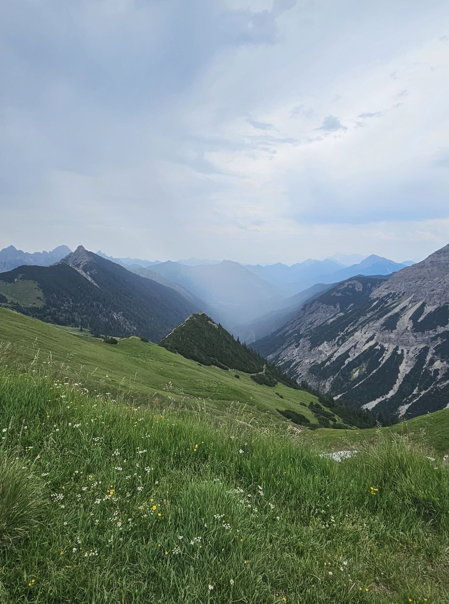
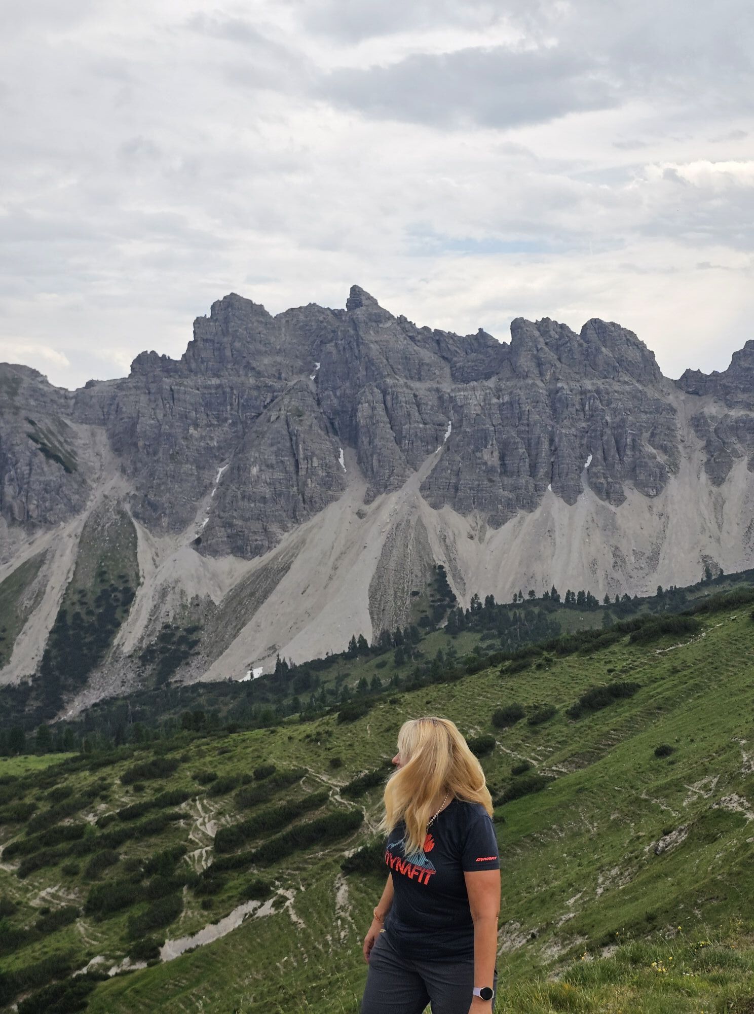
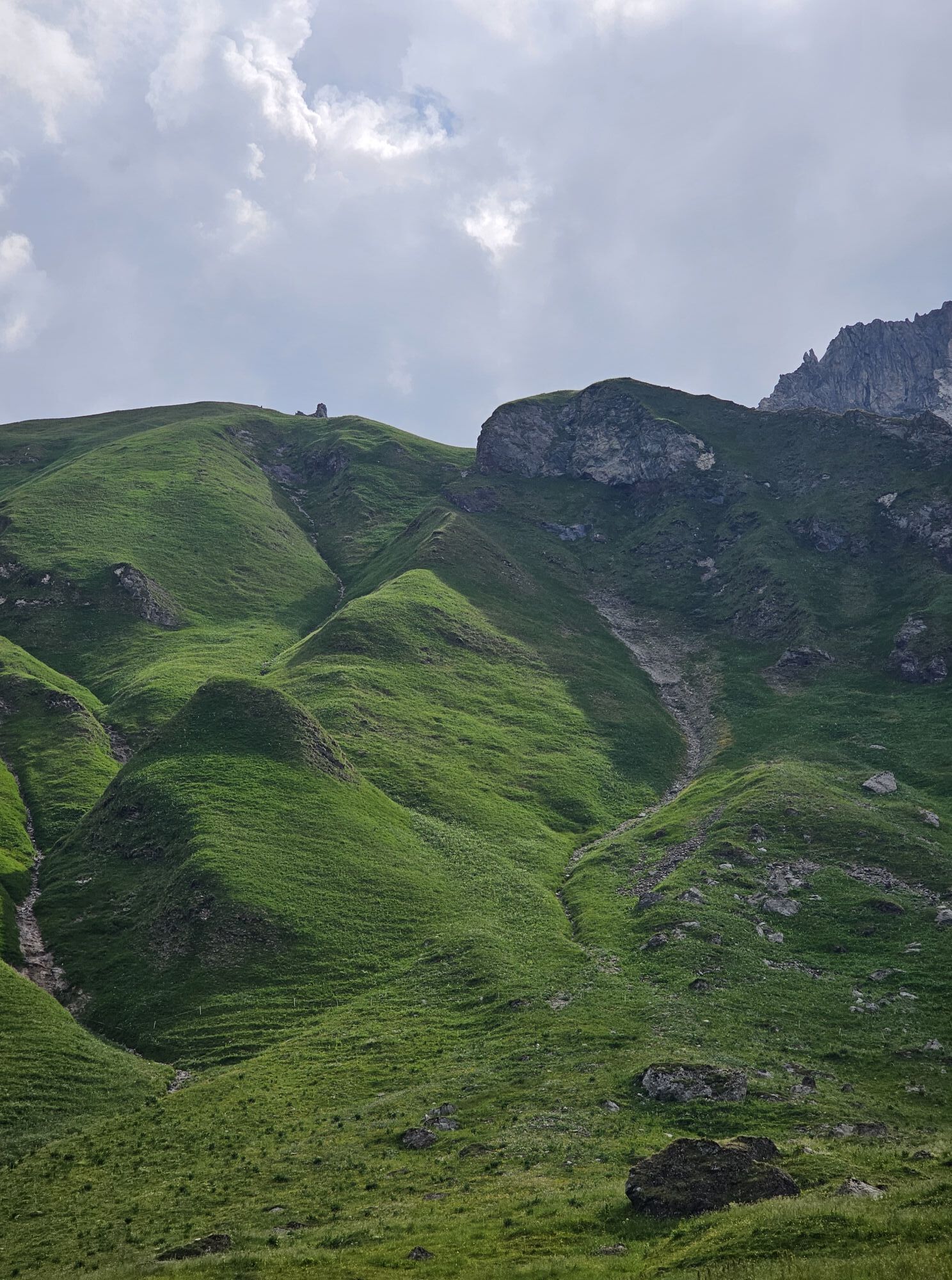
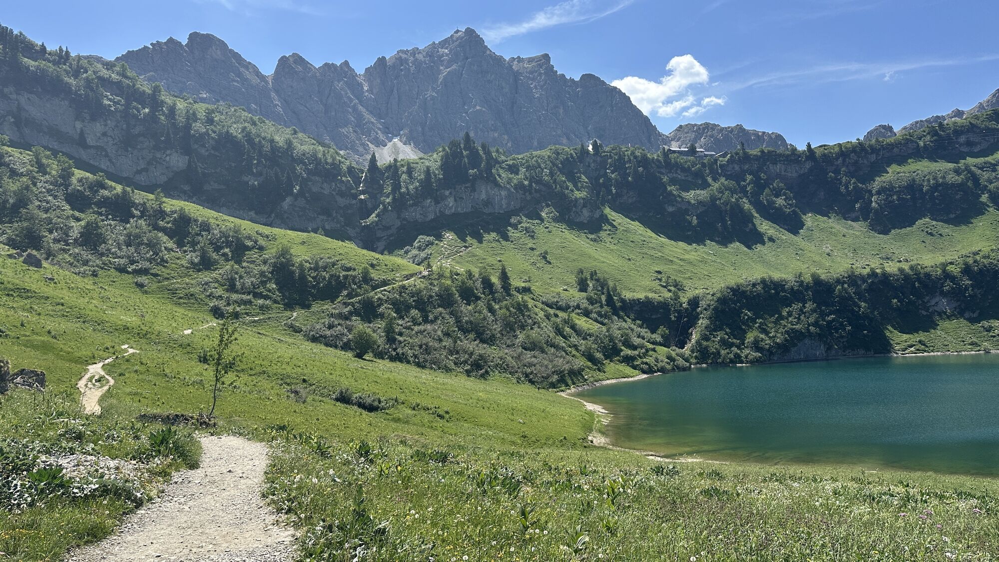
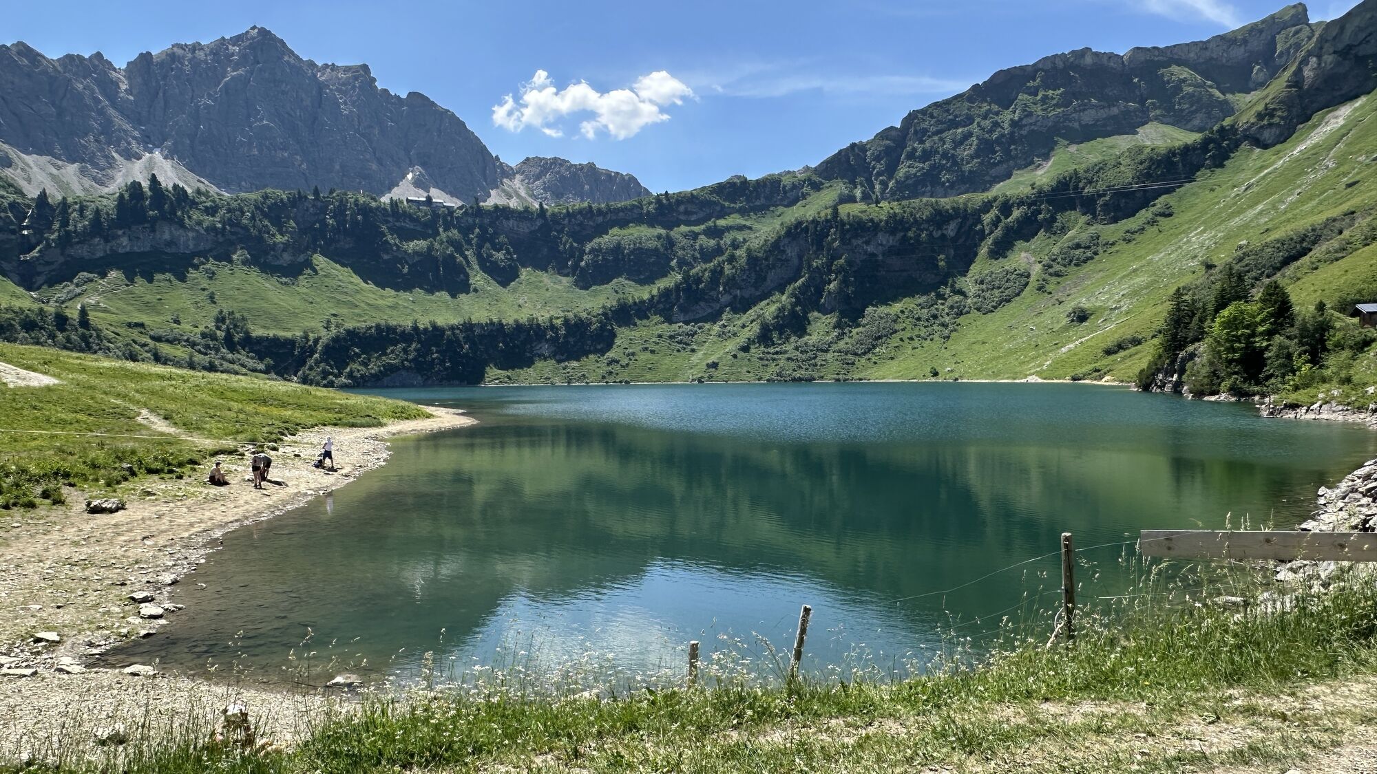
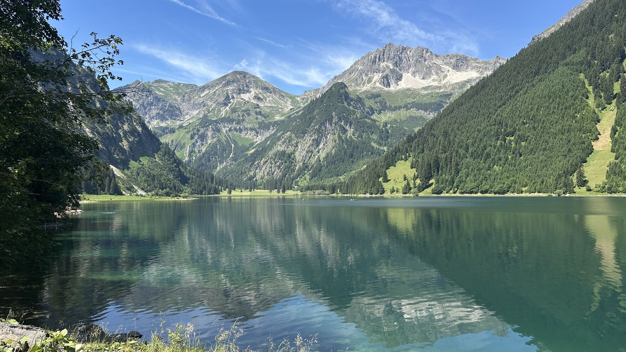
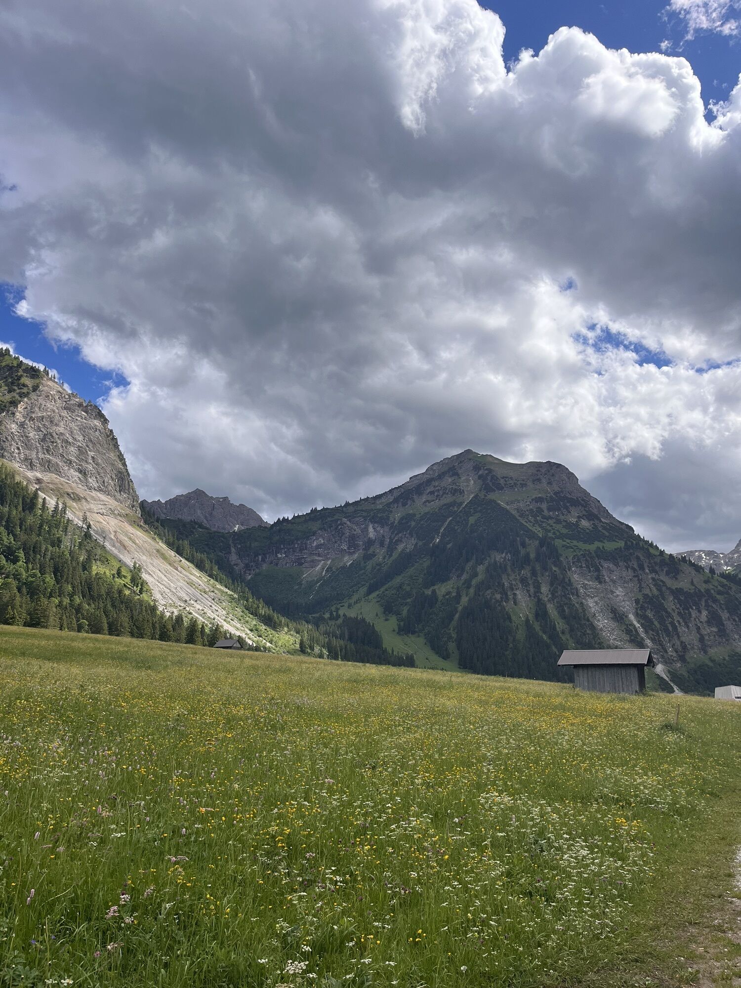
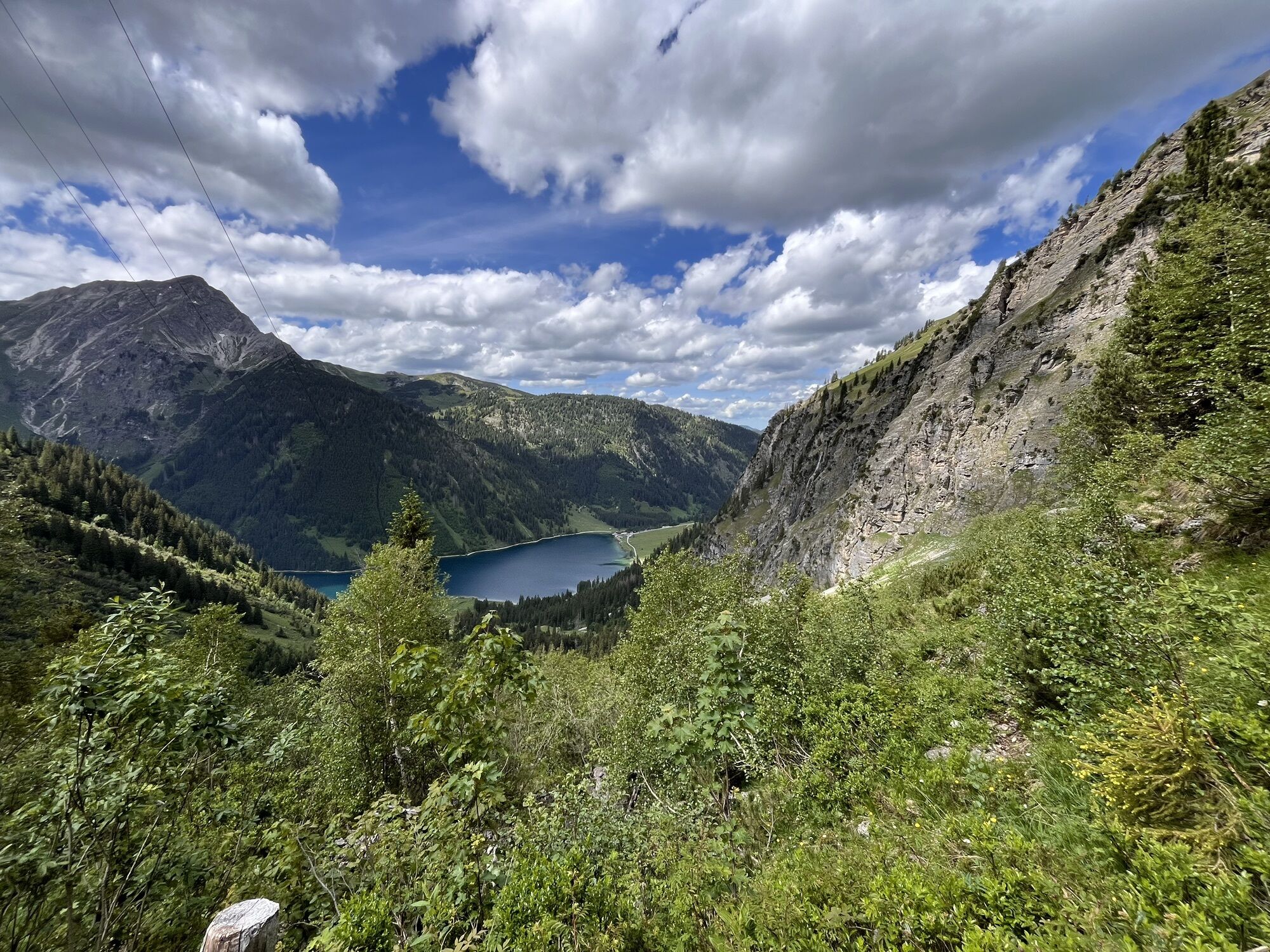
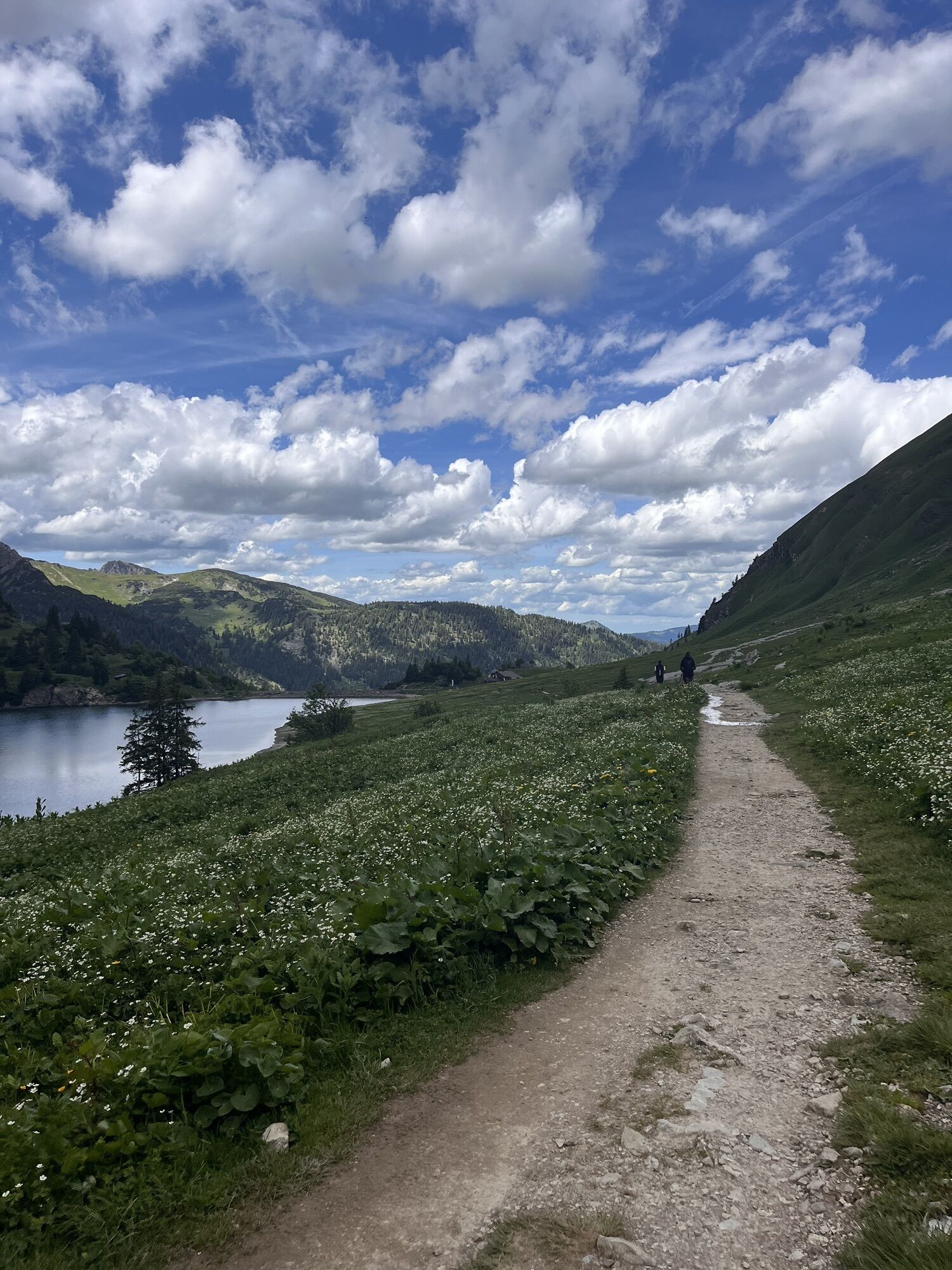
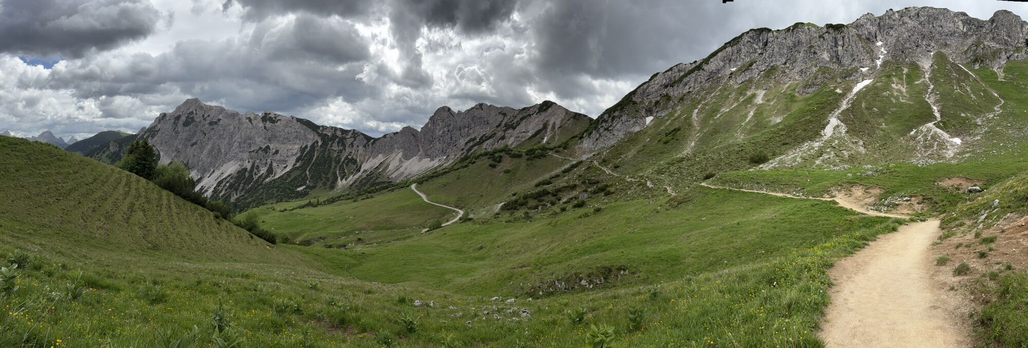
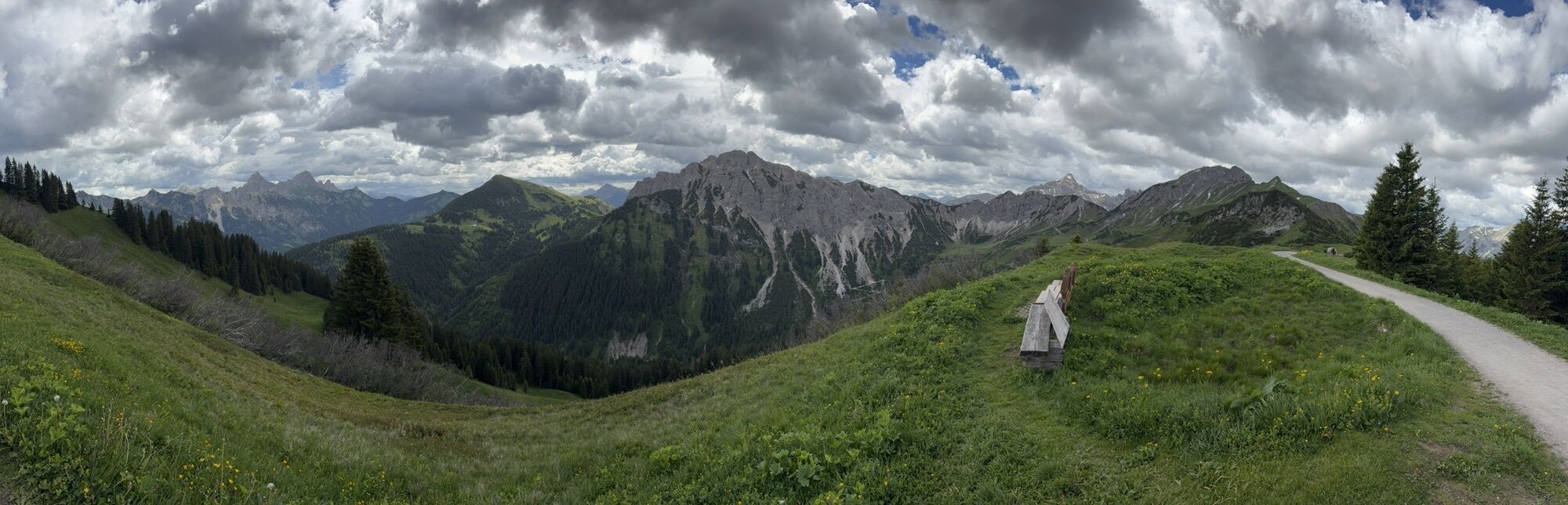
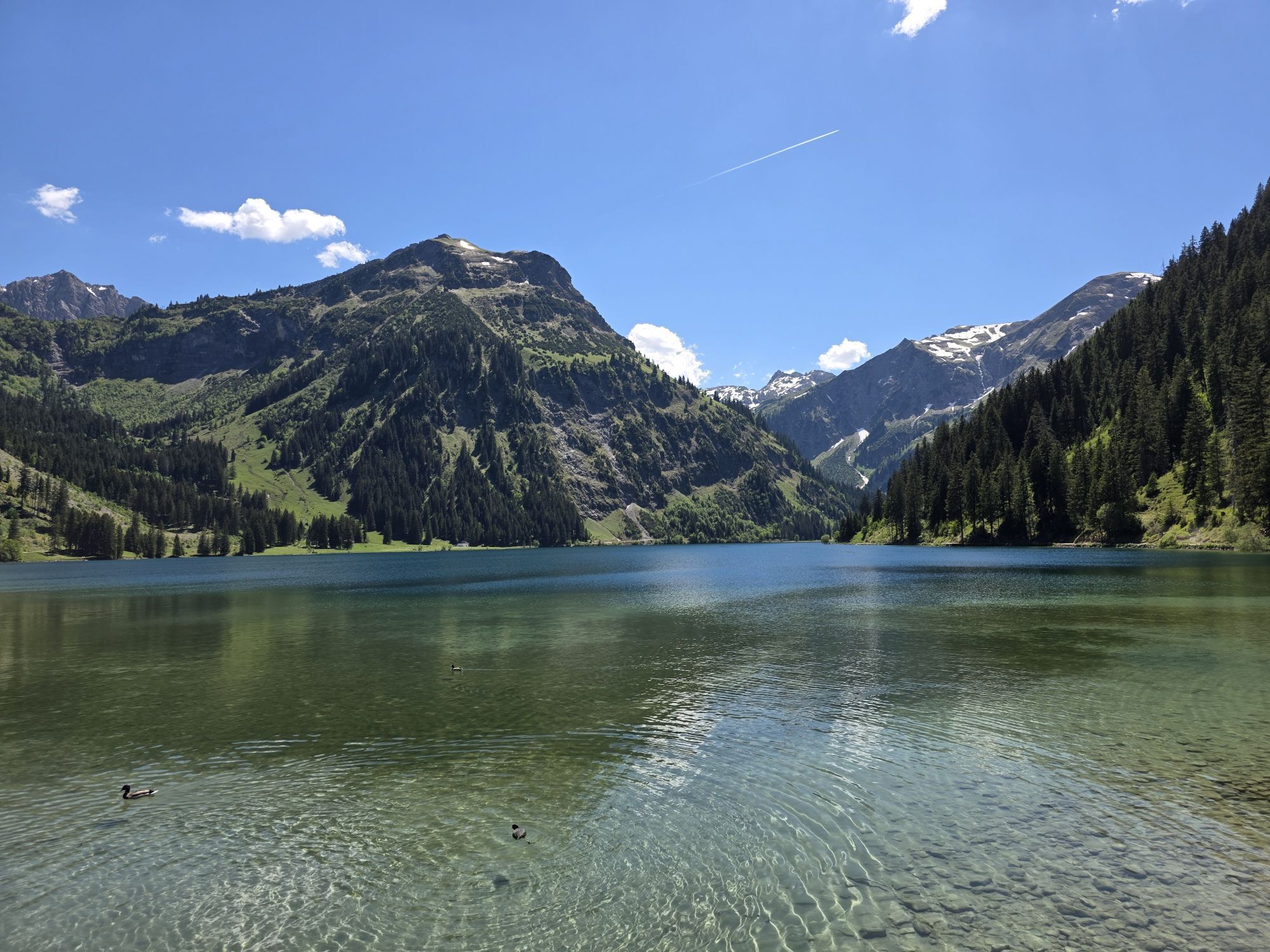
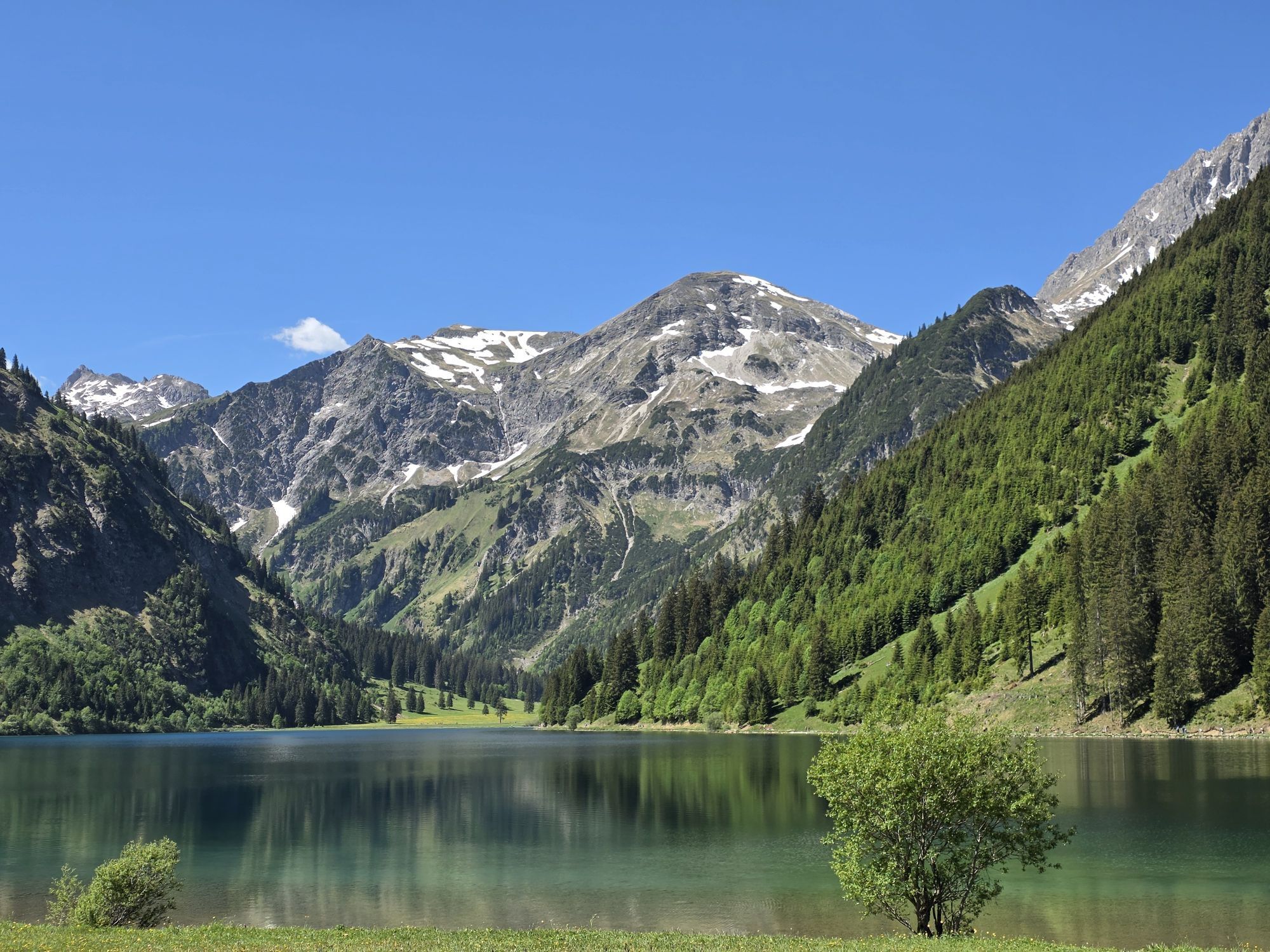
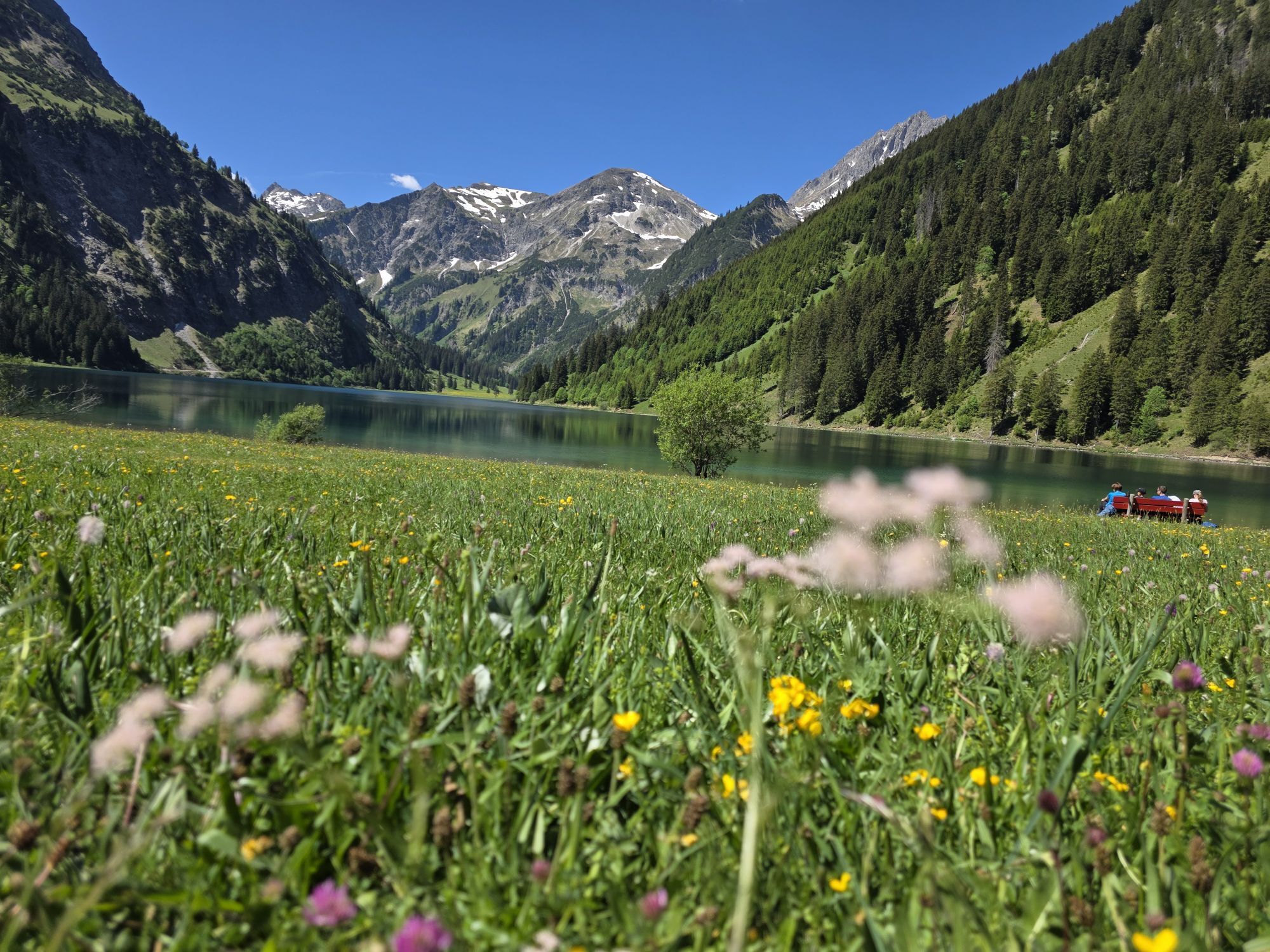
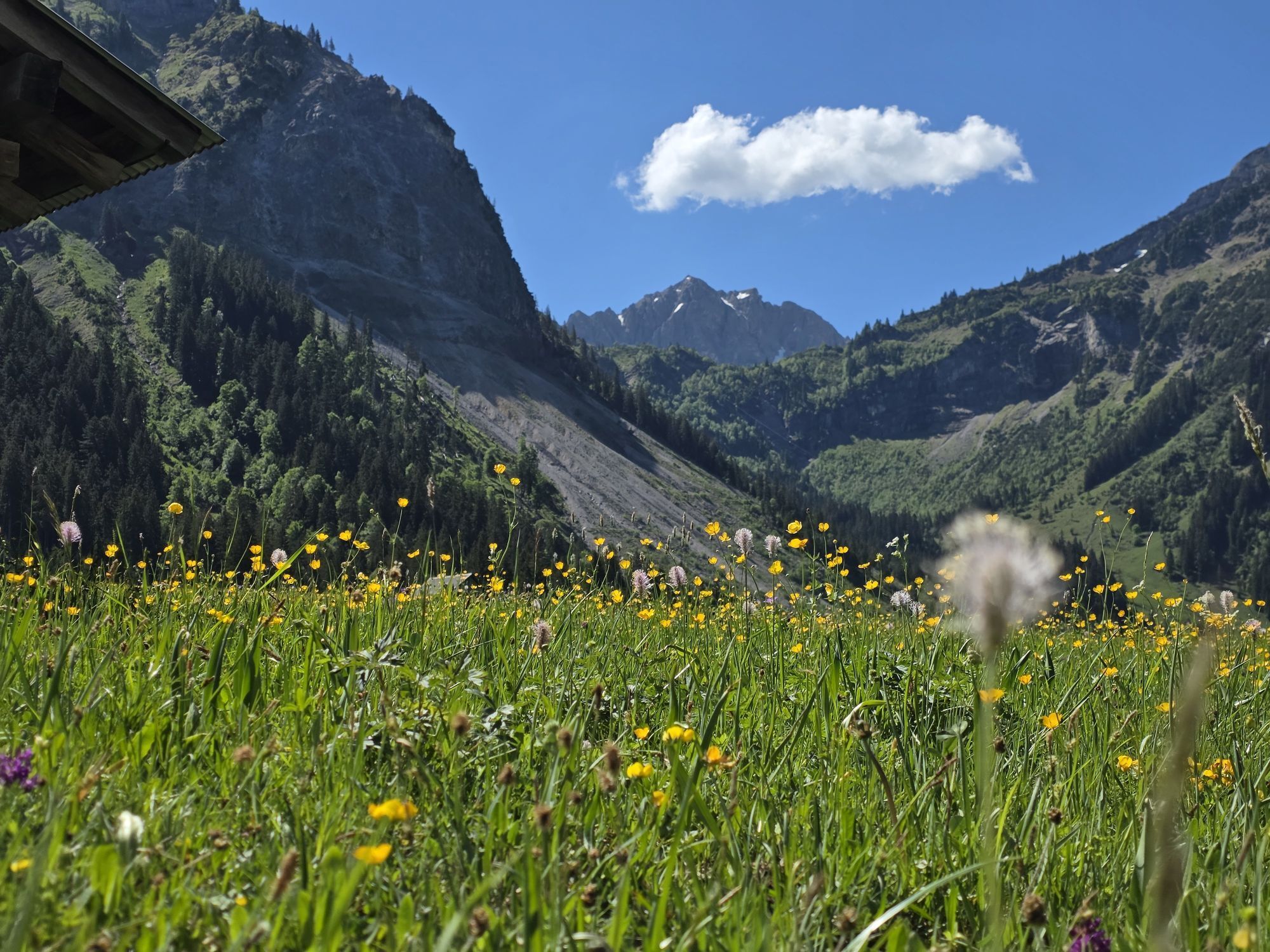
Two small summits, a magnificent panoramic path, bright blue lakes, and blooming alpine meadows enrich this varied hike. A gondola brings us to the starting point so that we only have to gain a few altitude meters on this route. Especially on the grassy mountains around the Schochenspitze, the view is breathtaking on clear days: In the curve after the ascent a spectacular mountain panorama of the Lachenspitze and the surrounding peaks opens up. The Landsberger Hütte offers a good stopover opportunity. This applies especially on good weather weekends when most hikers stay right up at the Landsberger Hütte. The descent is via the Traualpe towards Vilsalpsee and to Tannheim.

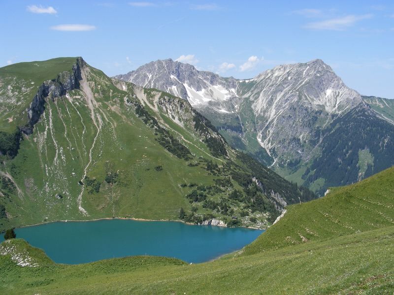
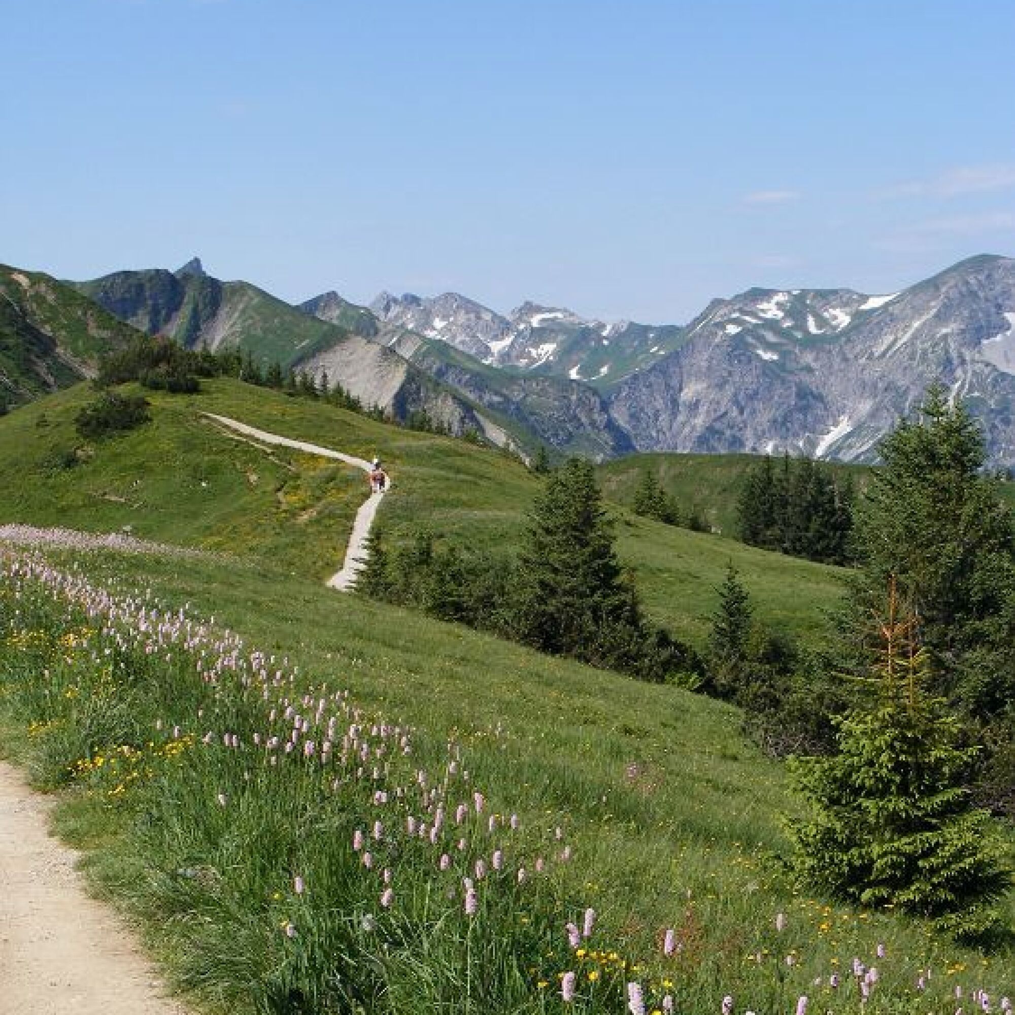
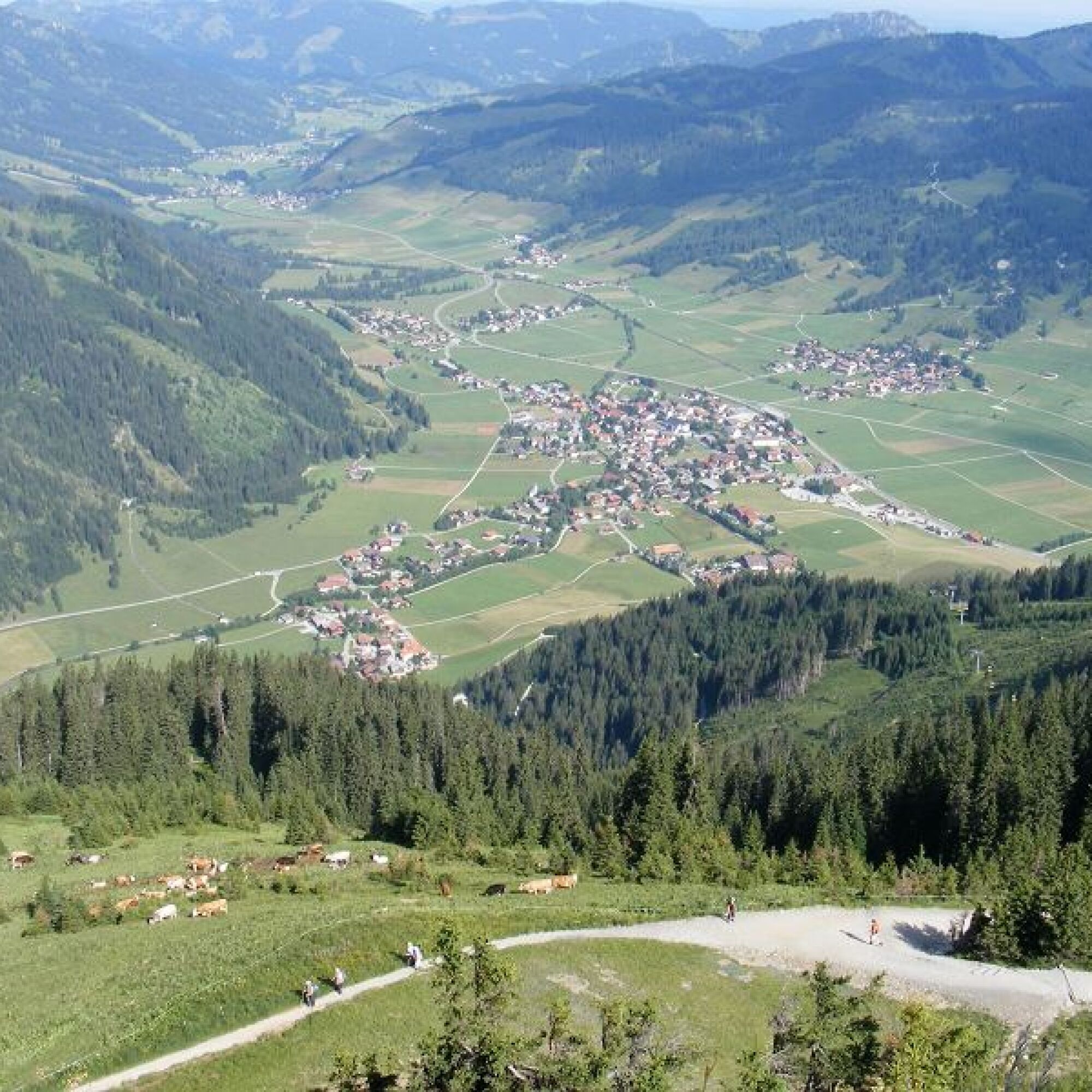
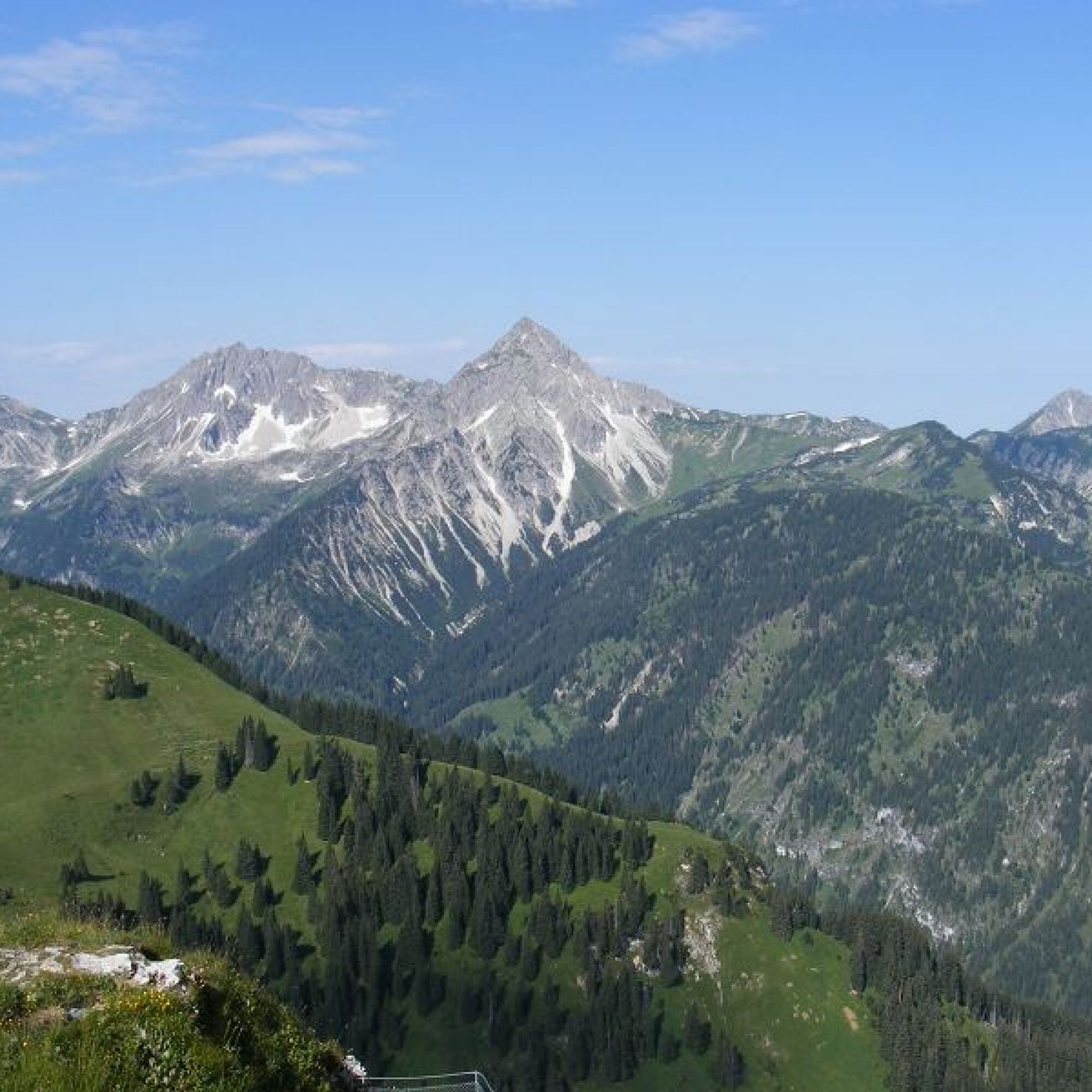
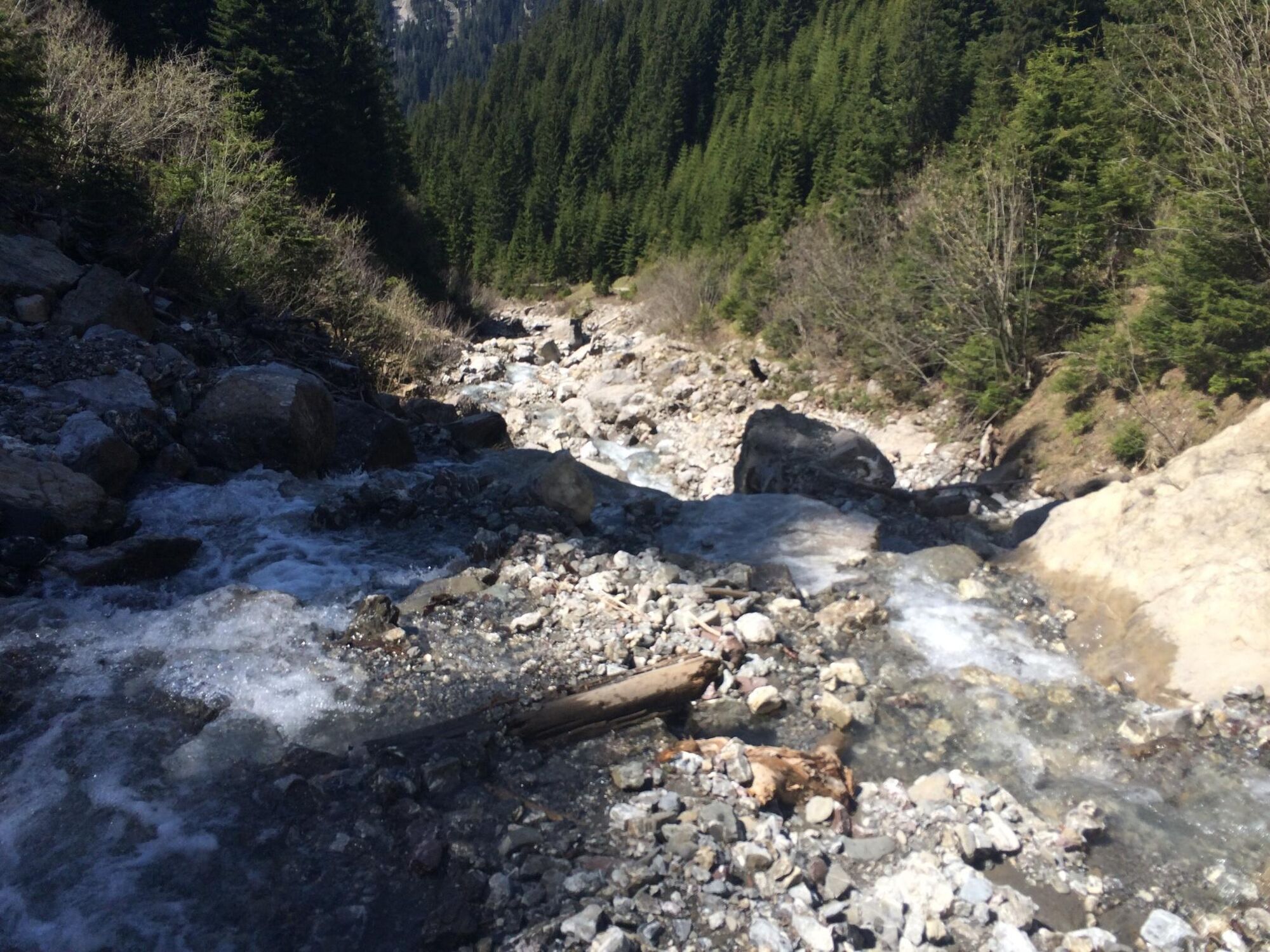
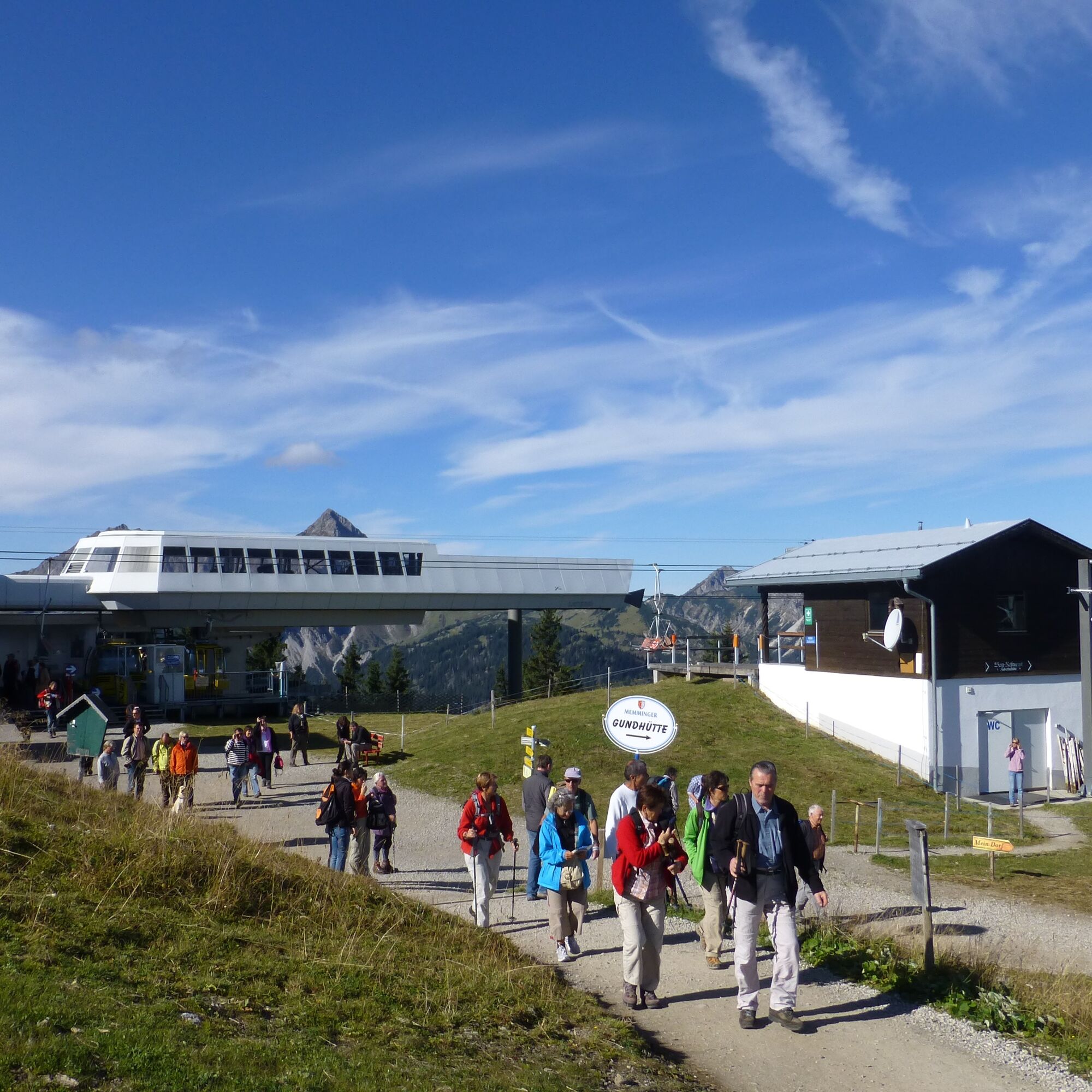
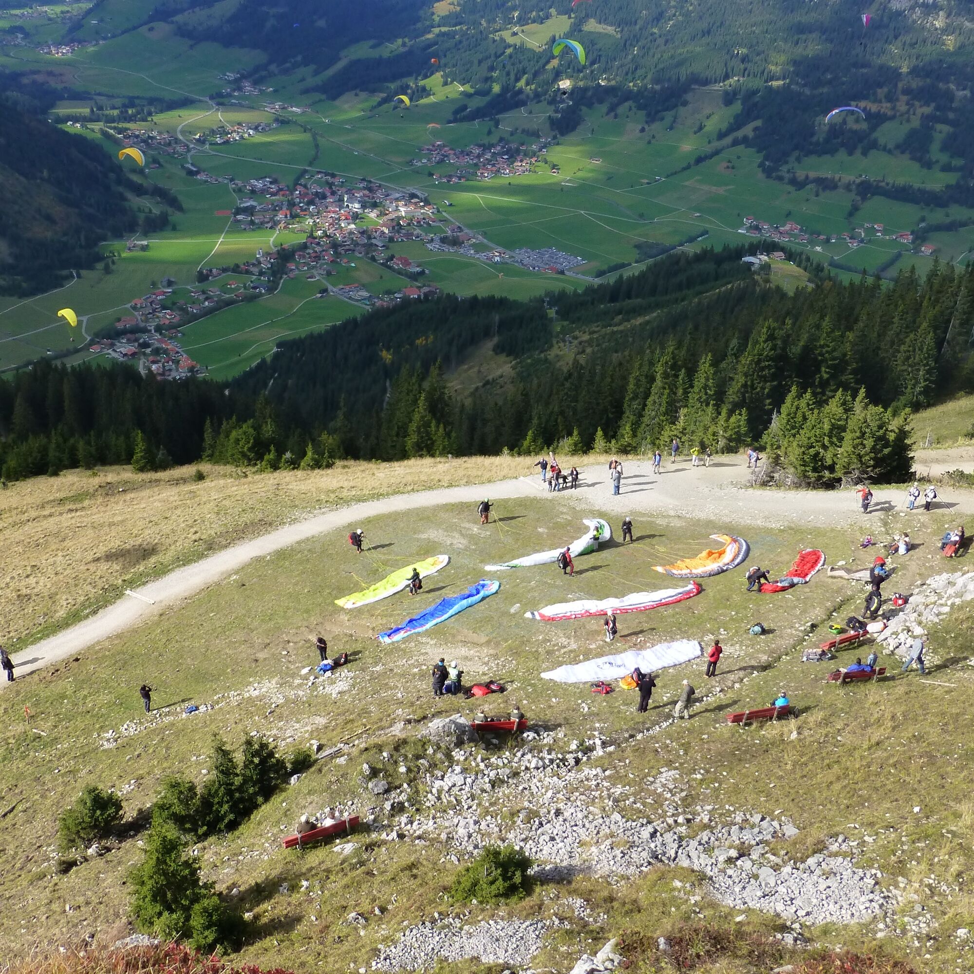
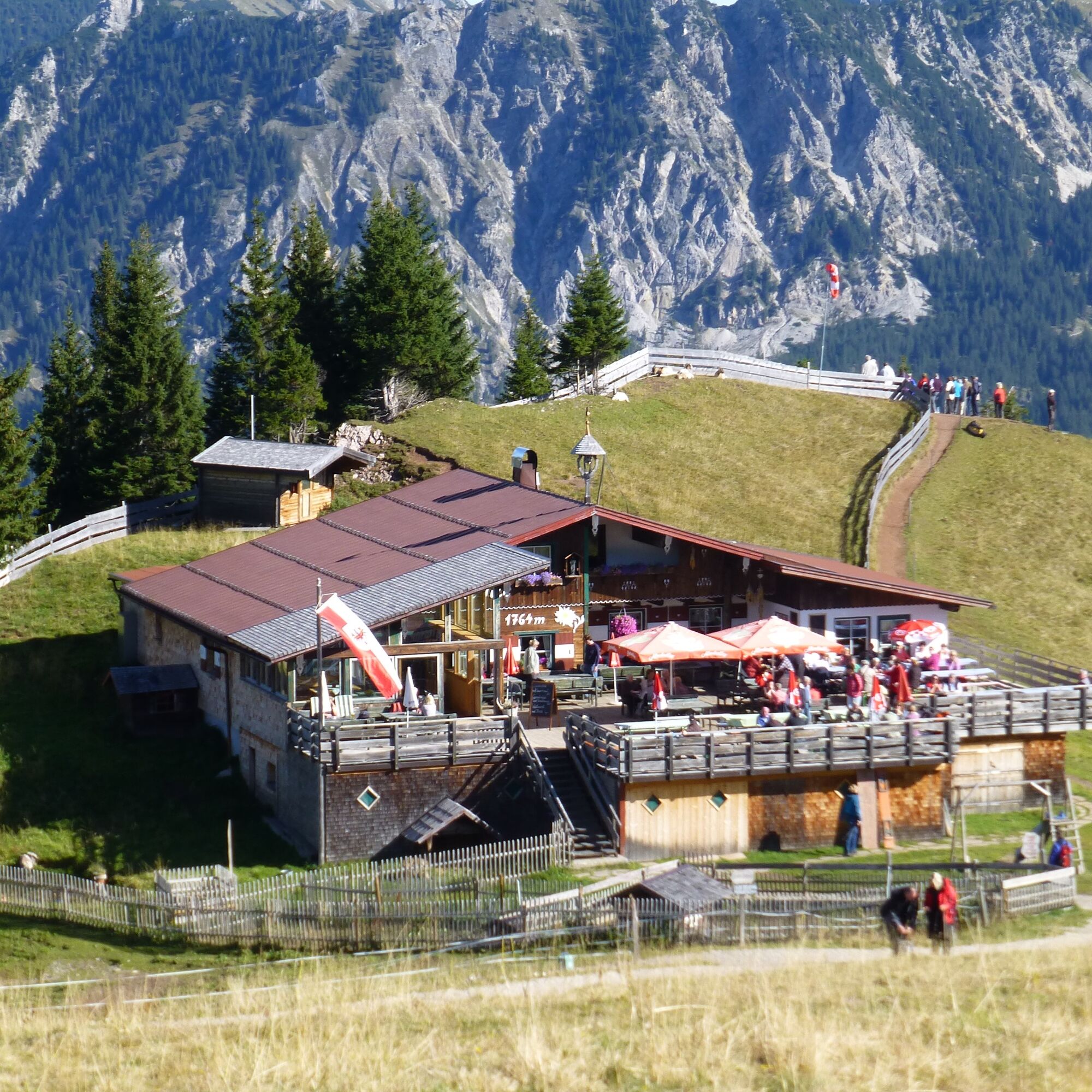
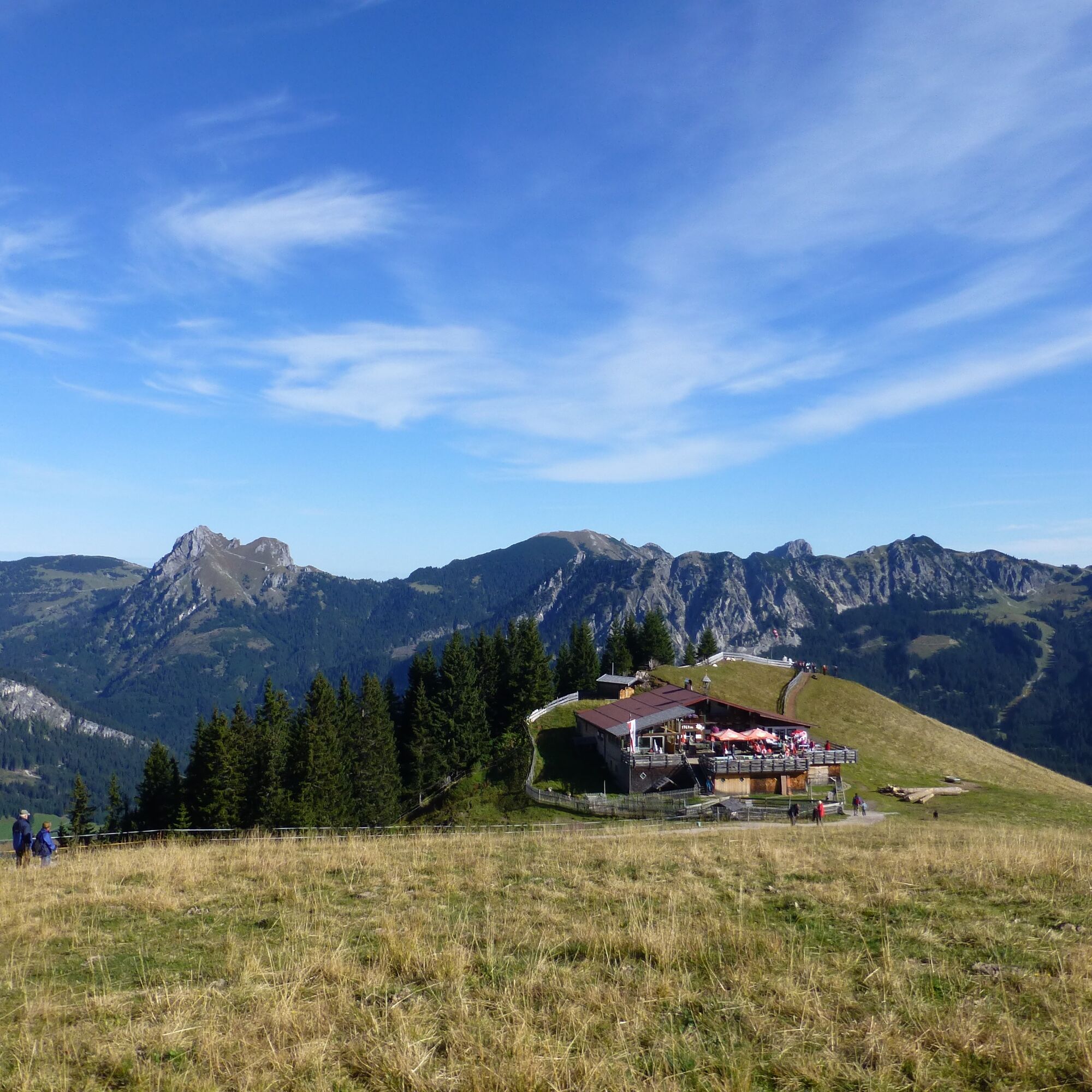
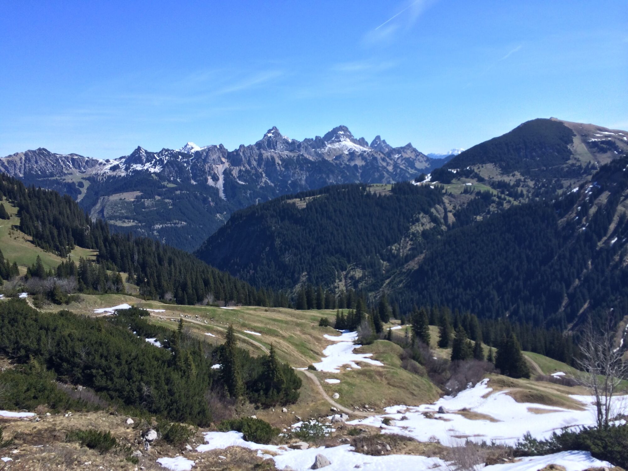
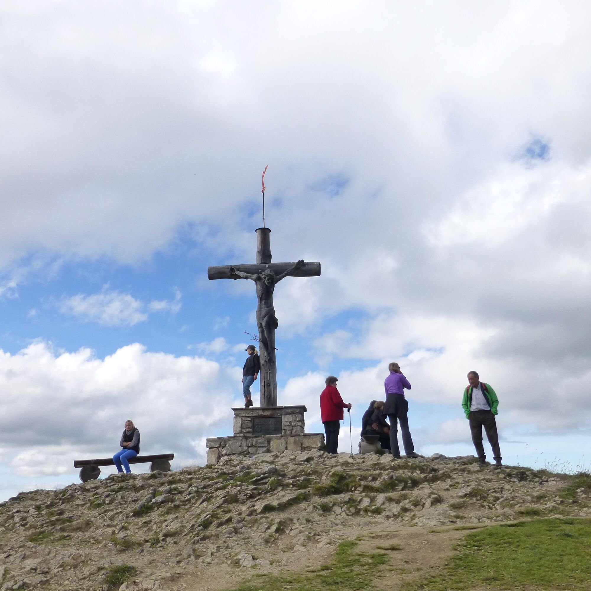
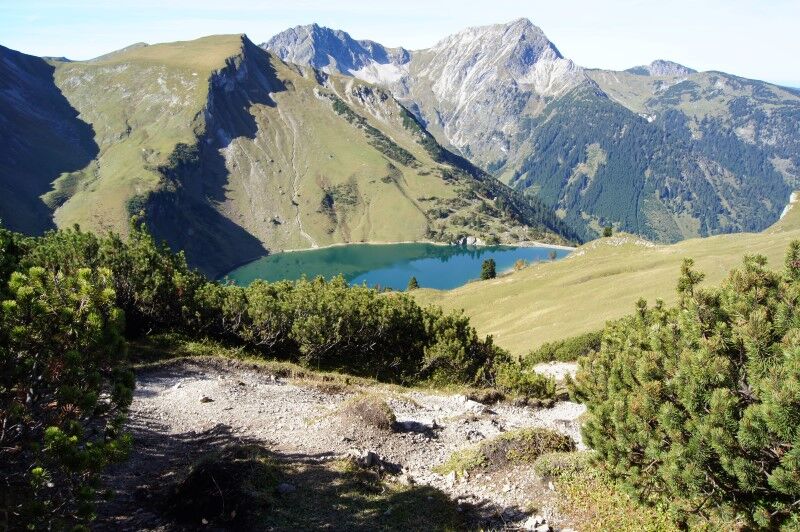
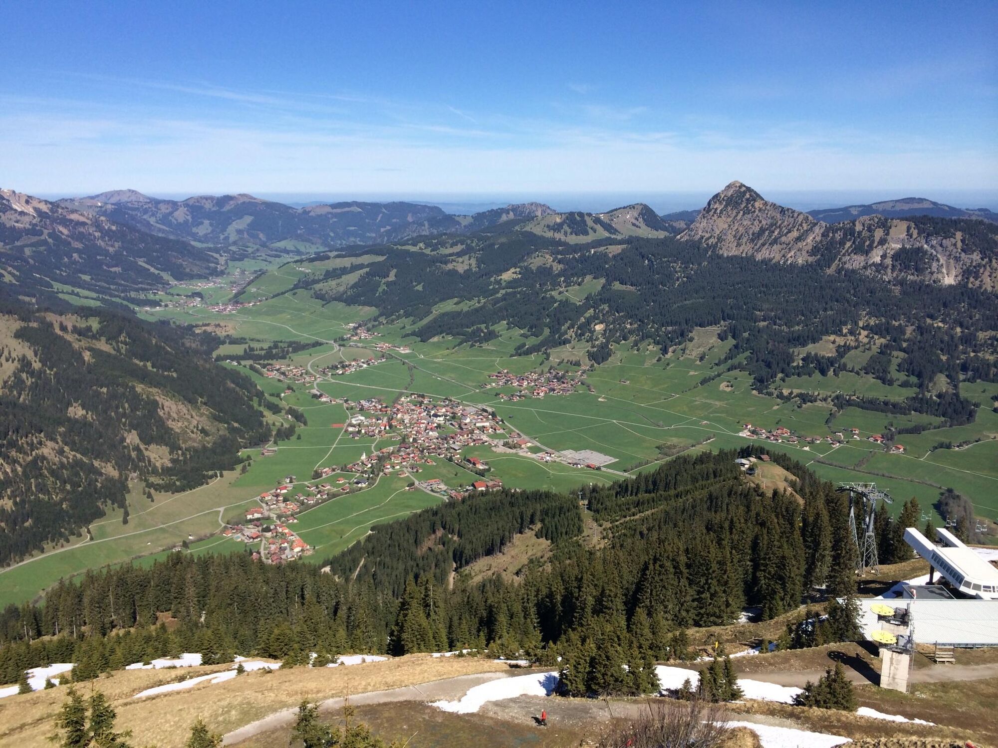
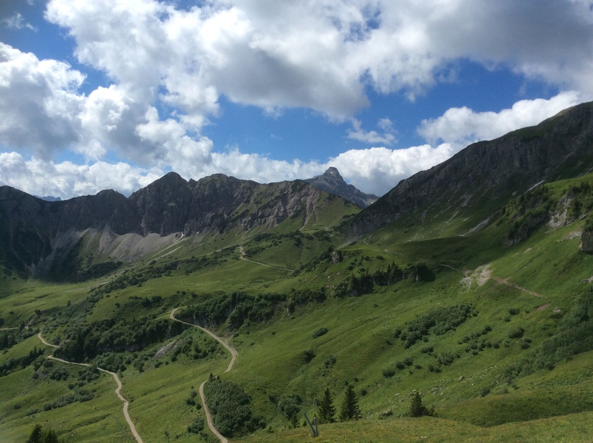
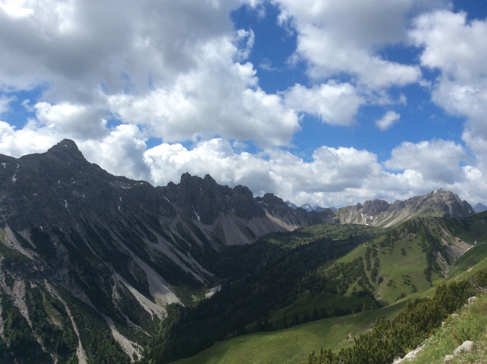
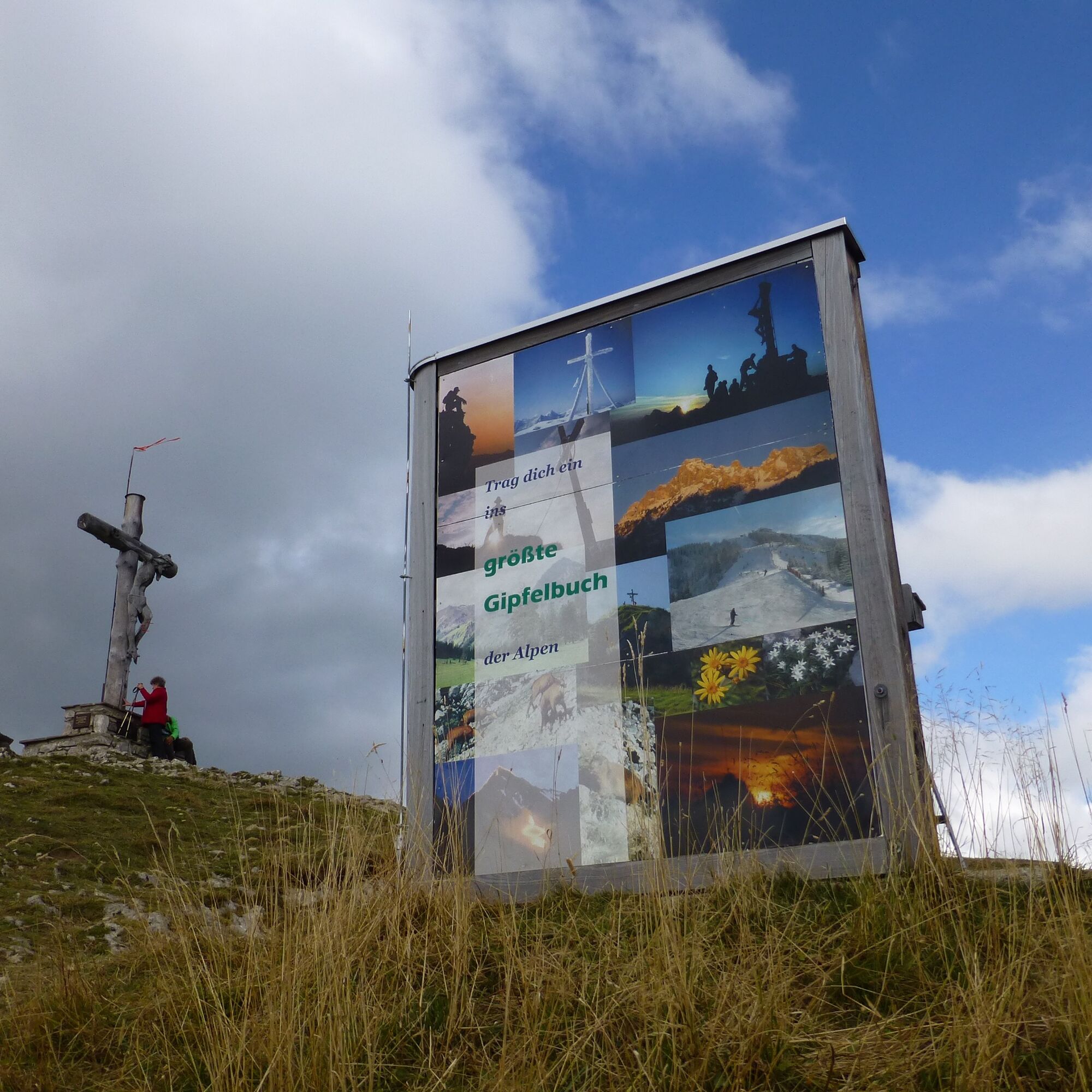
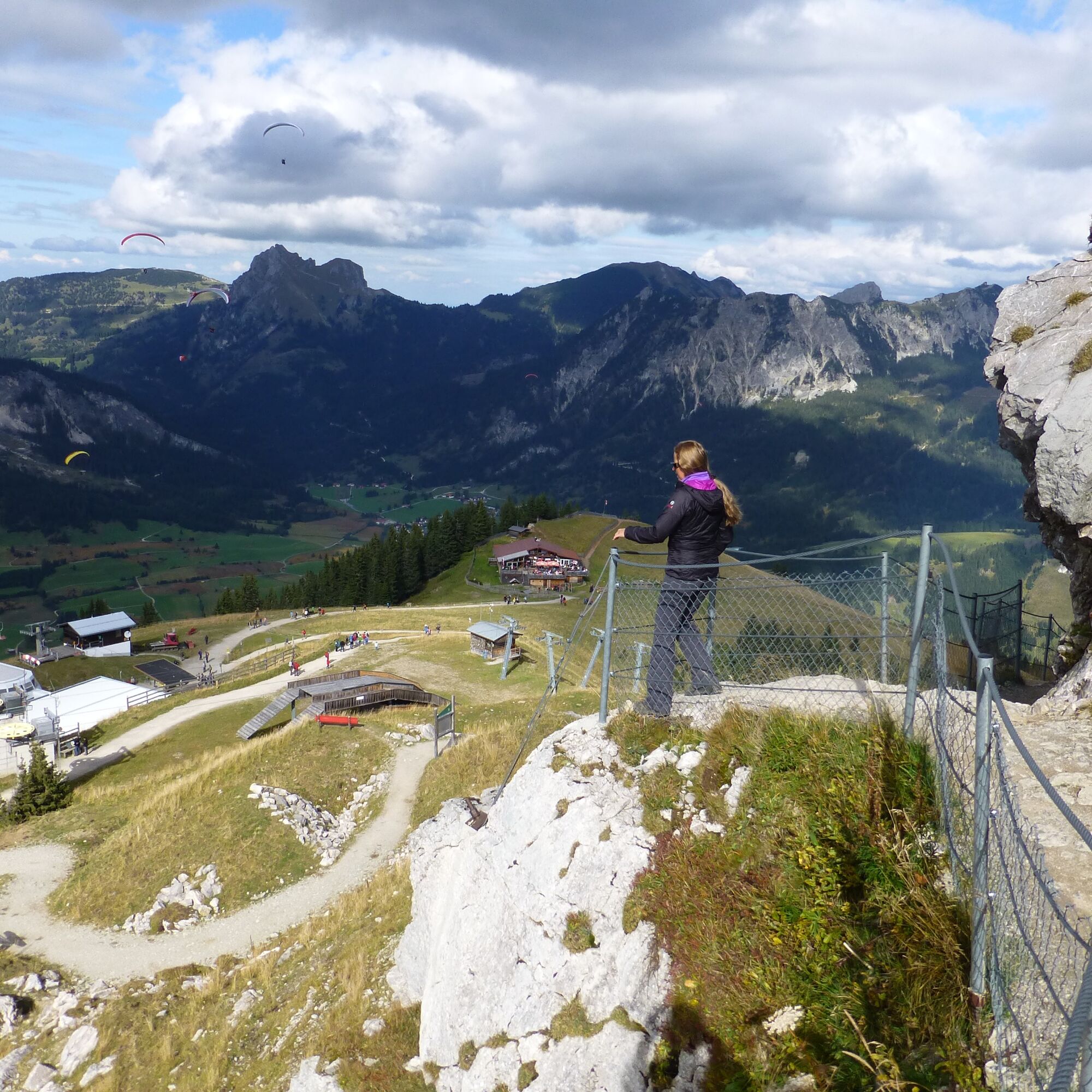
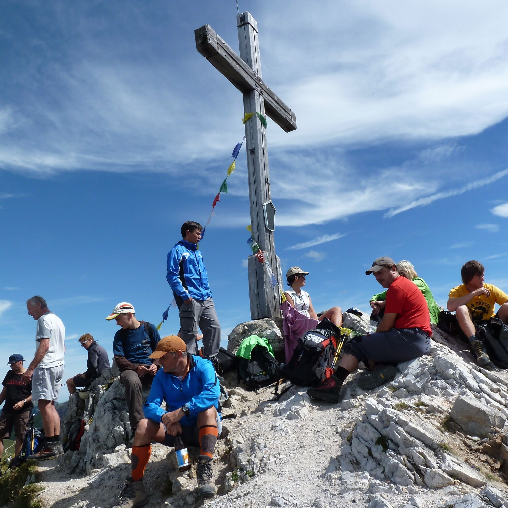
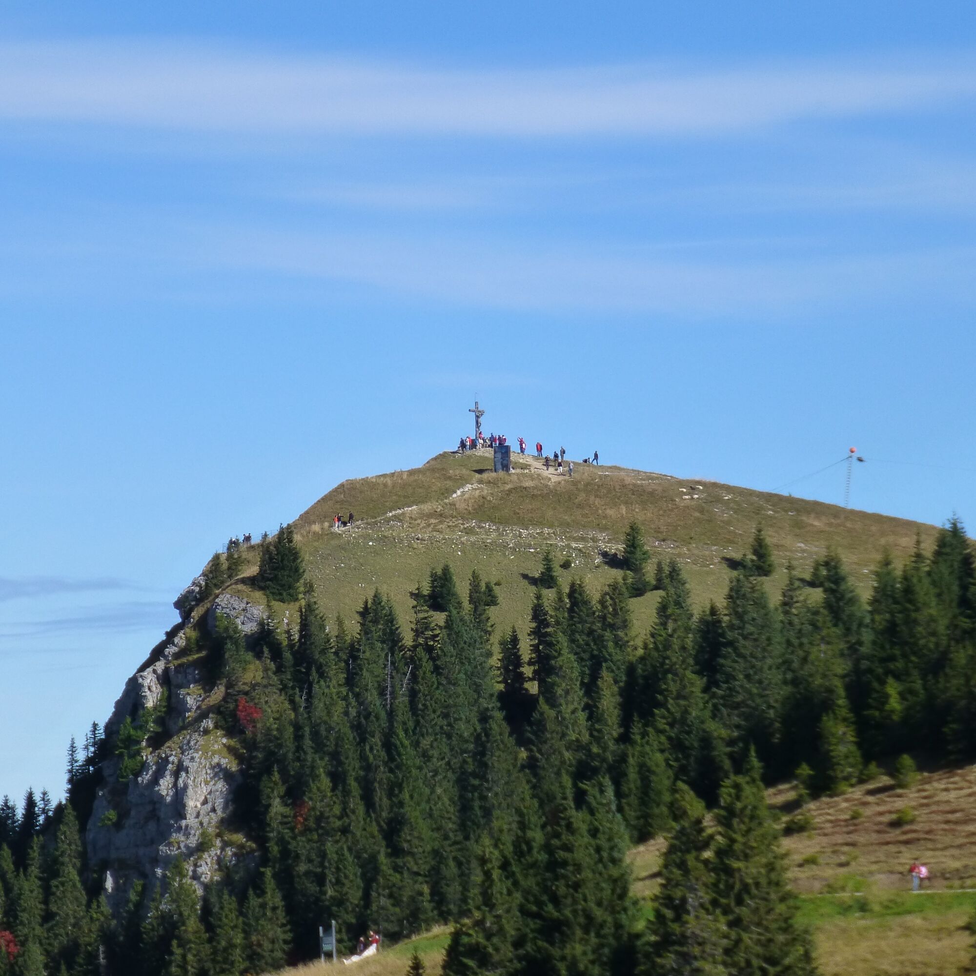
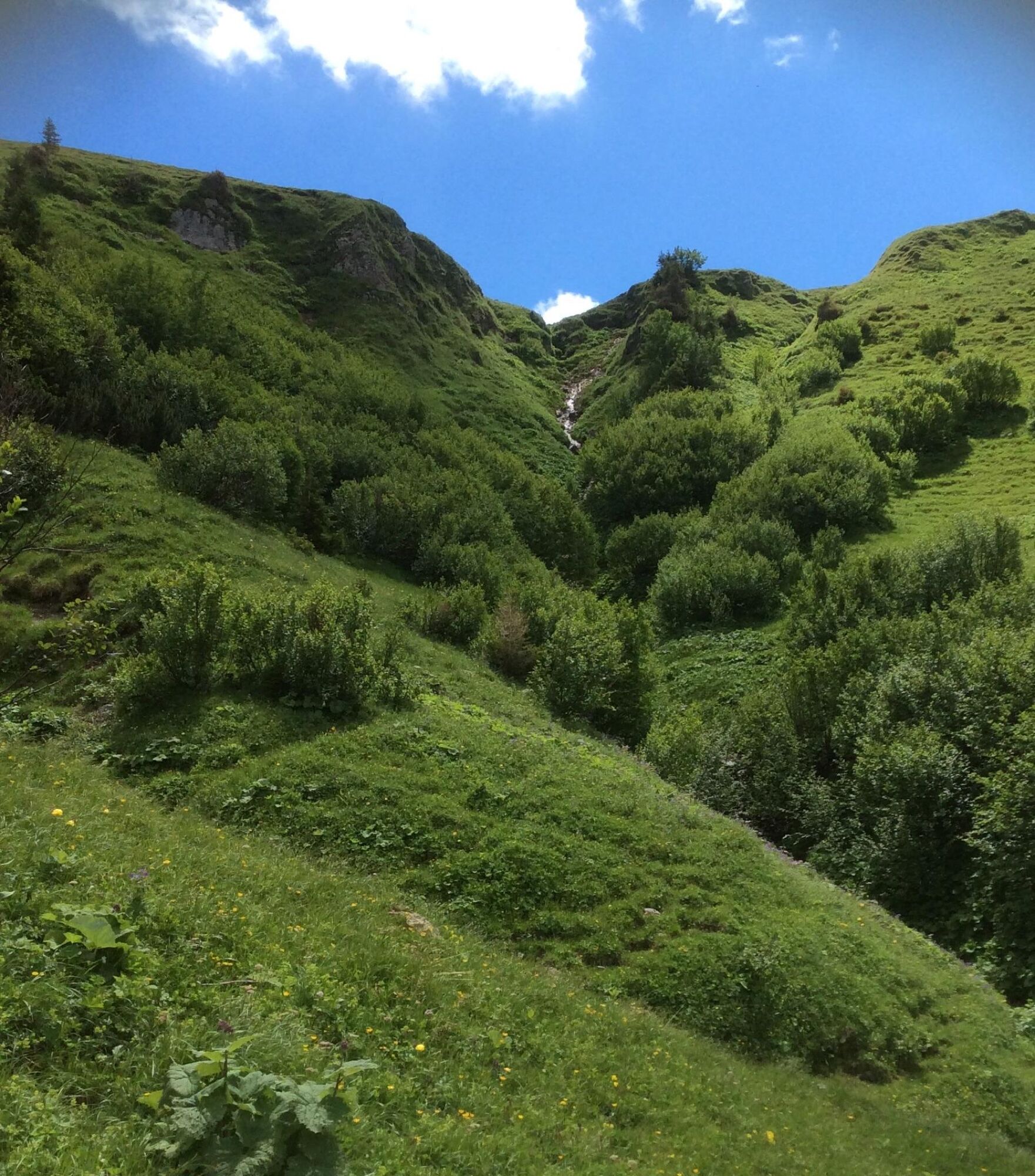
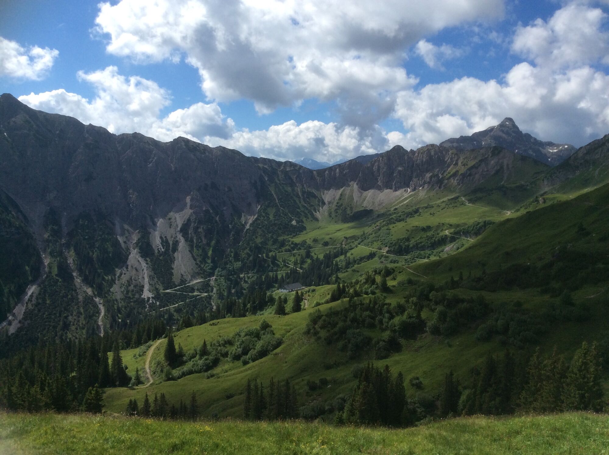
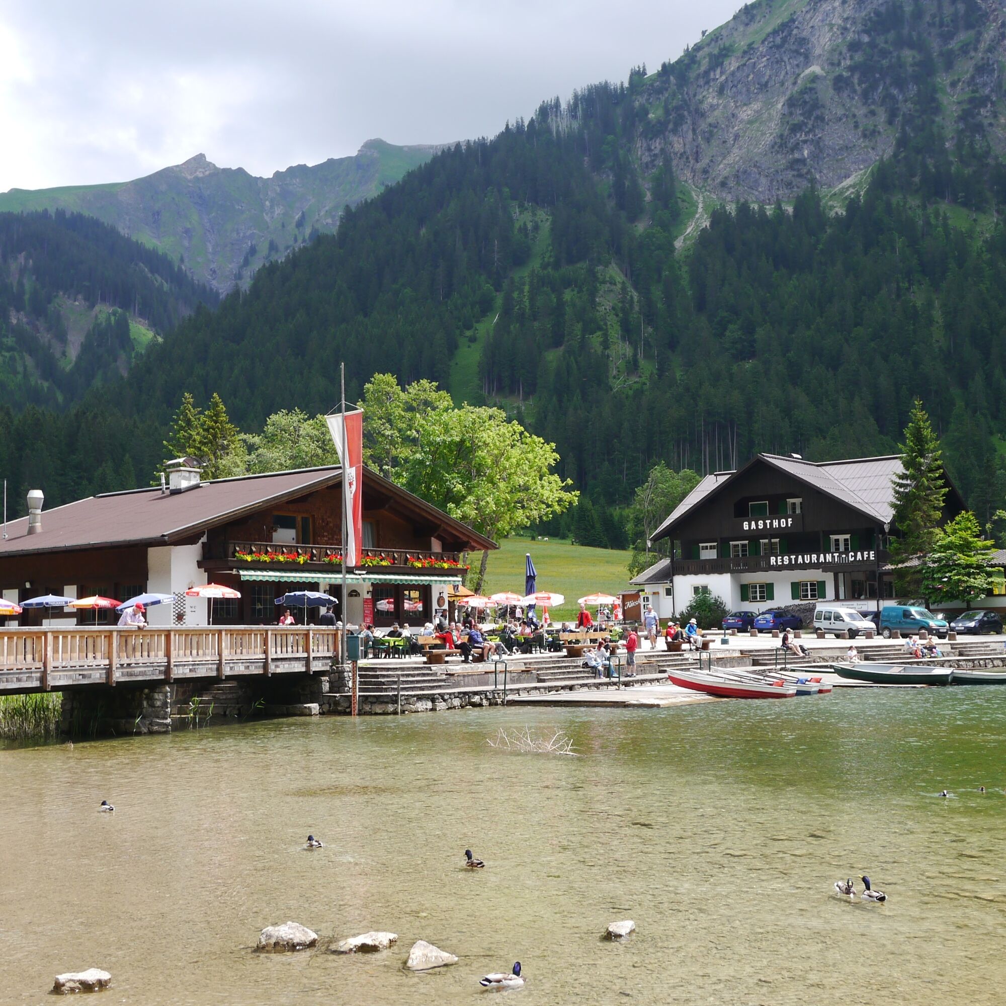
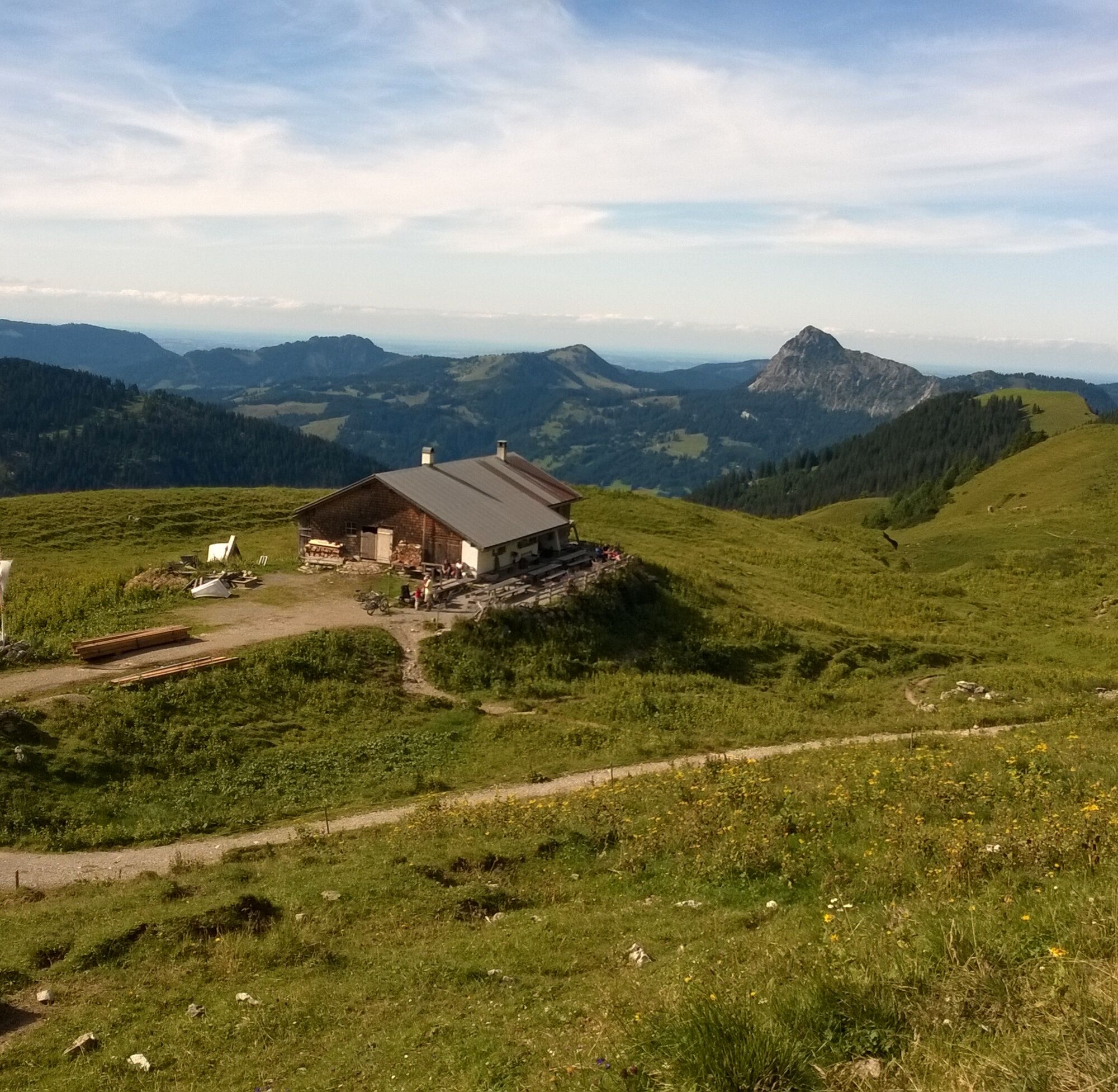
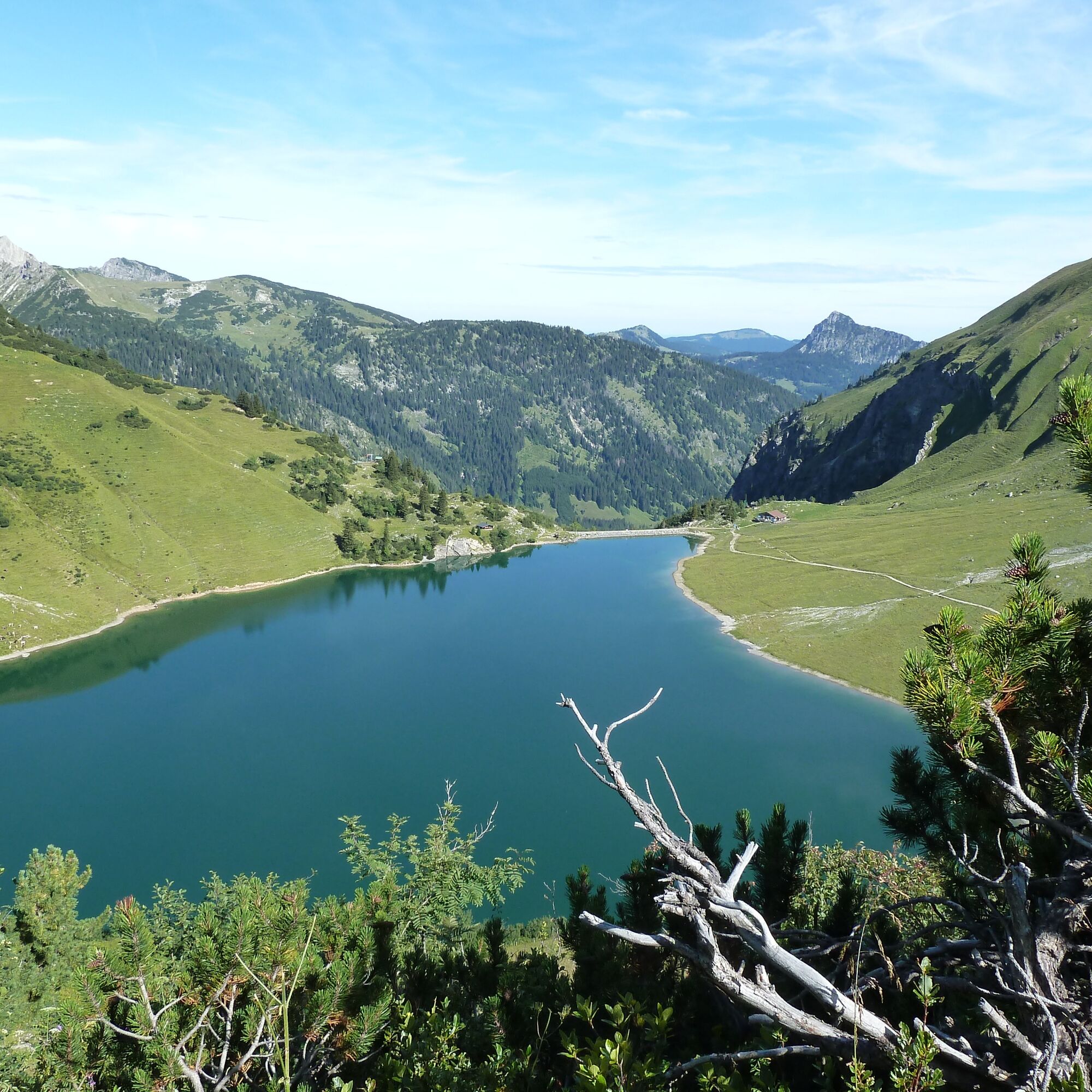
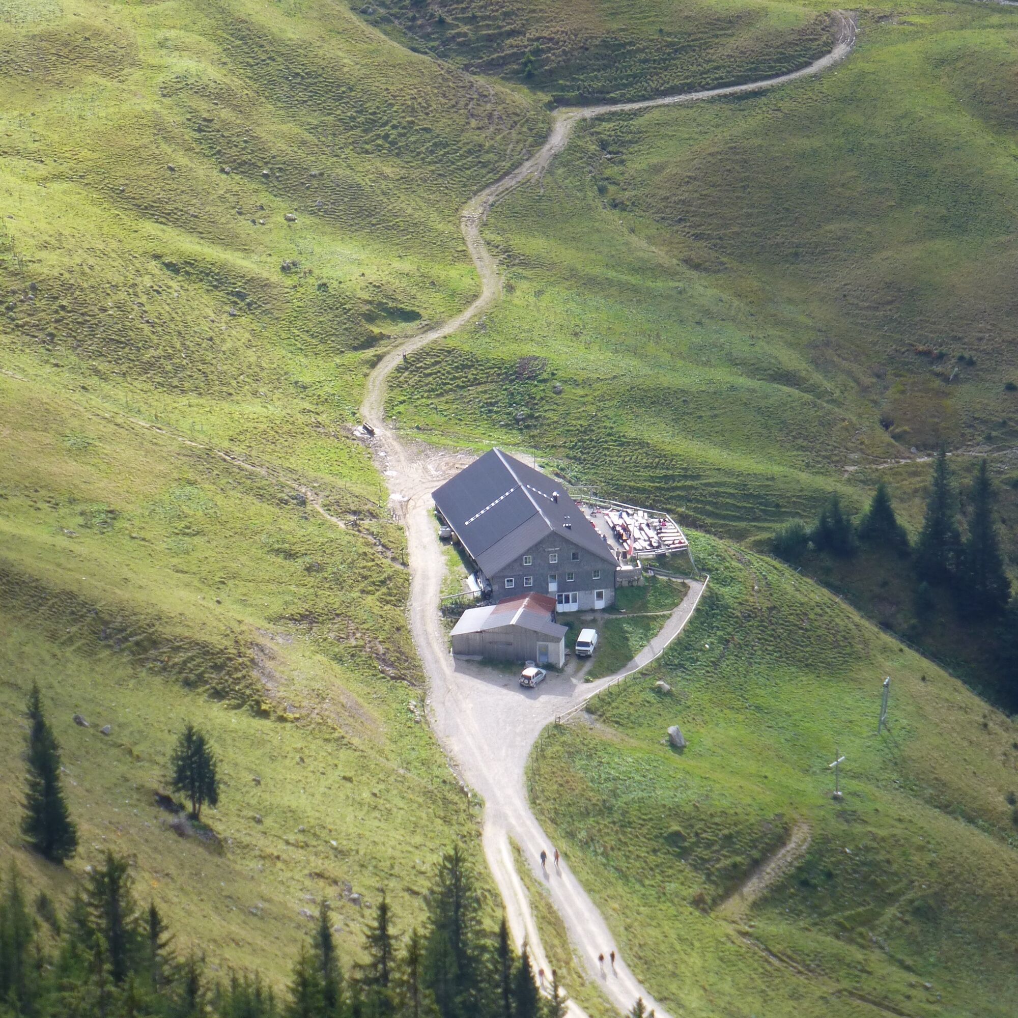
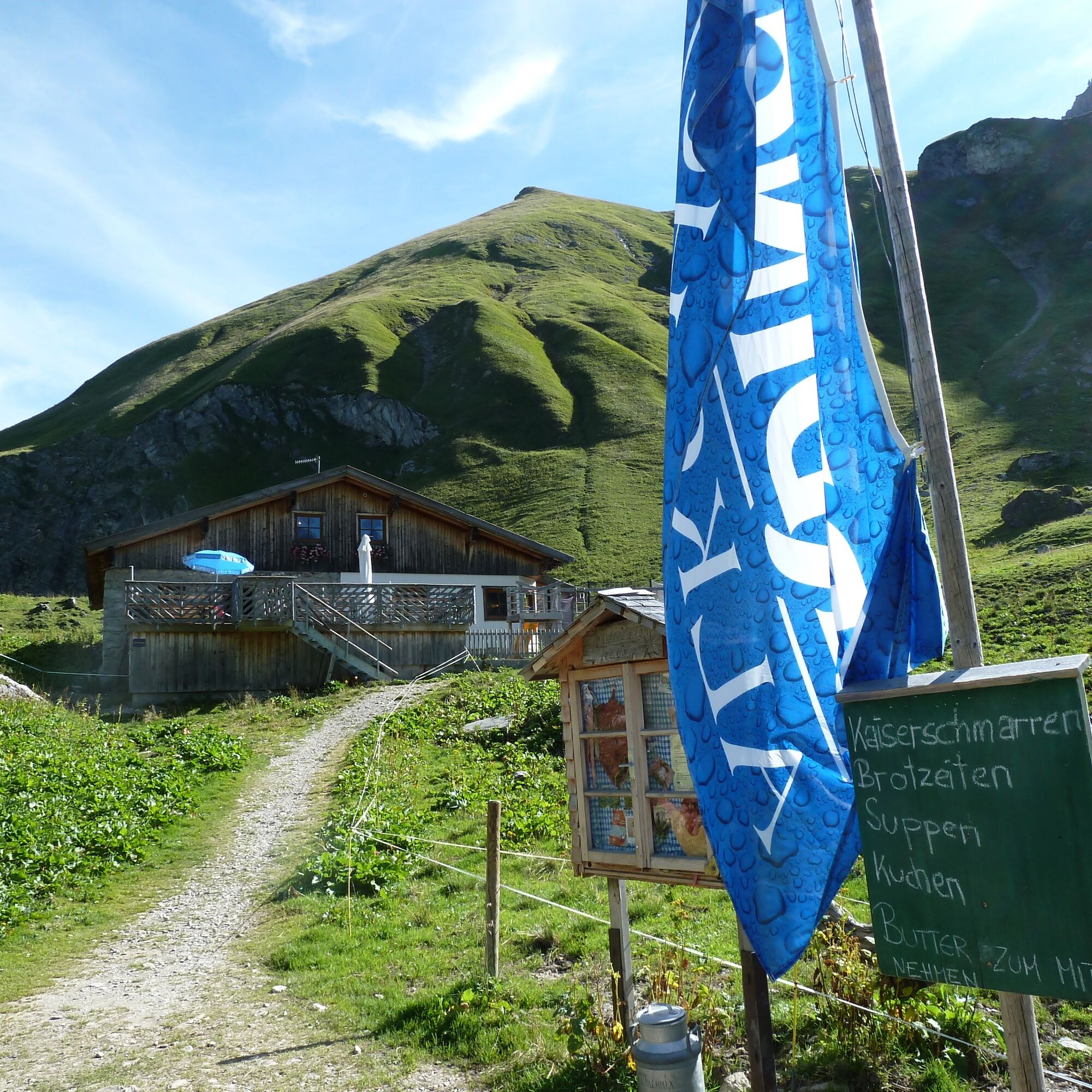
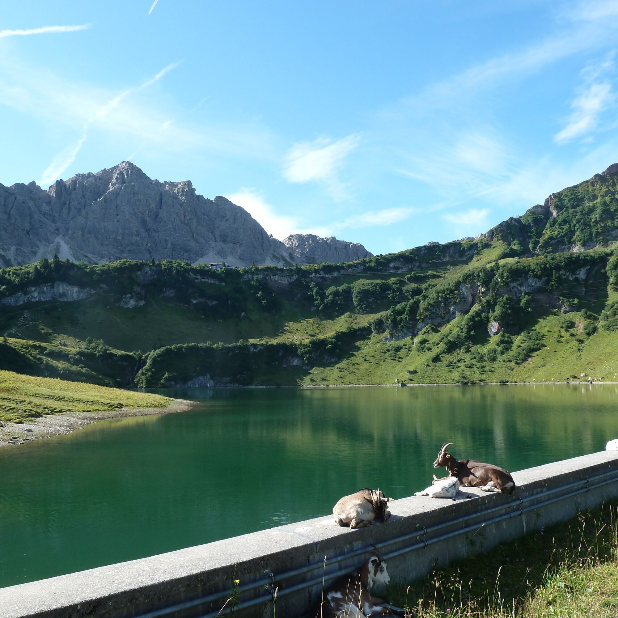
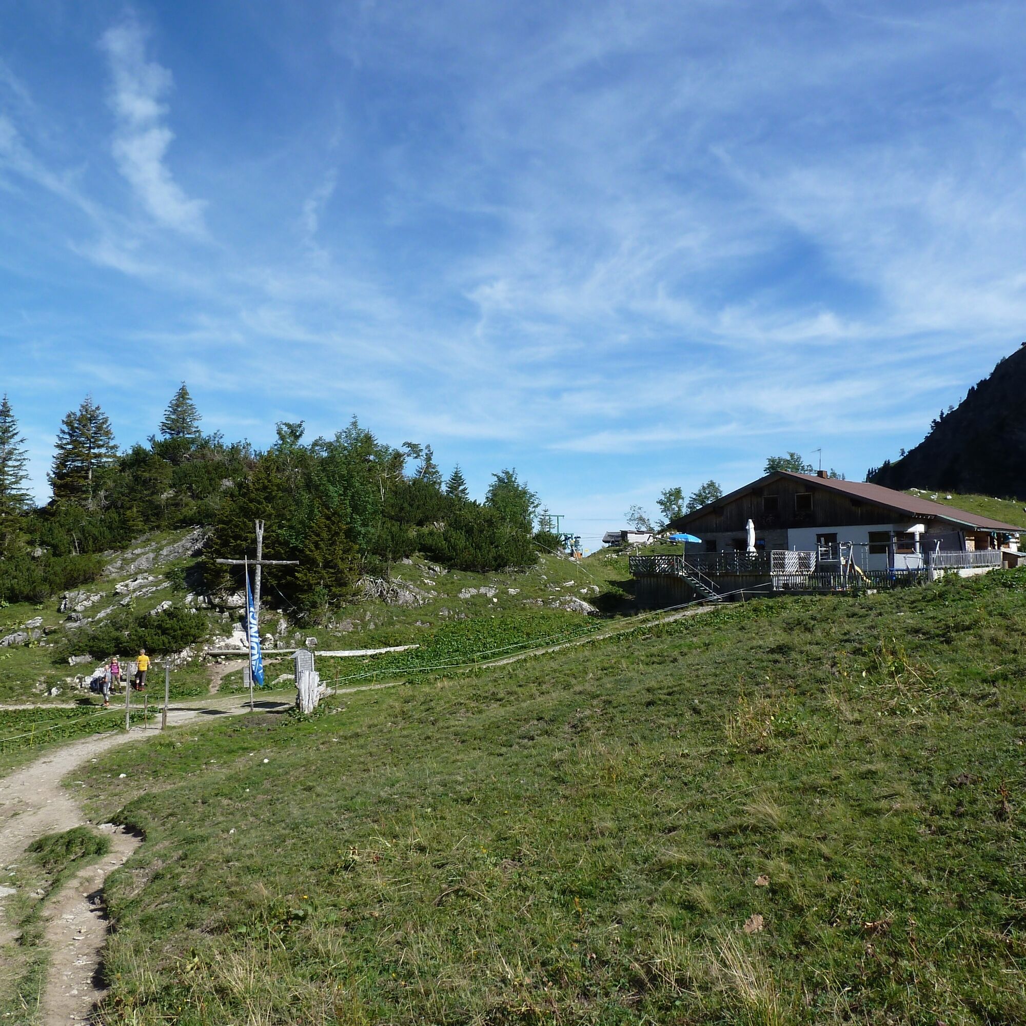
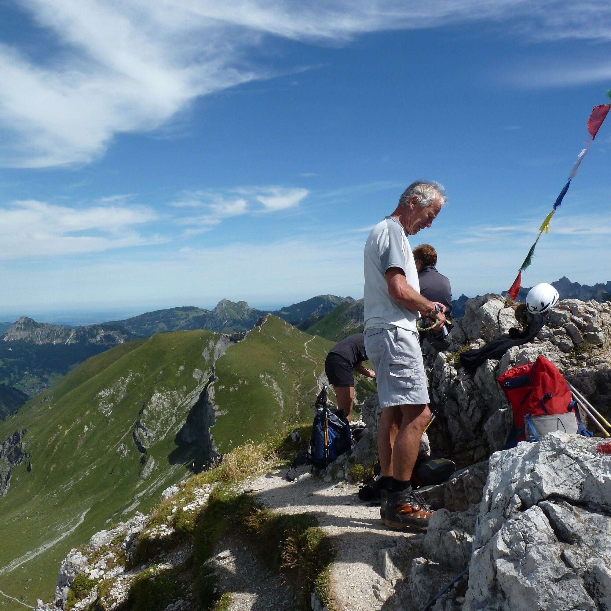
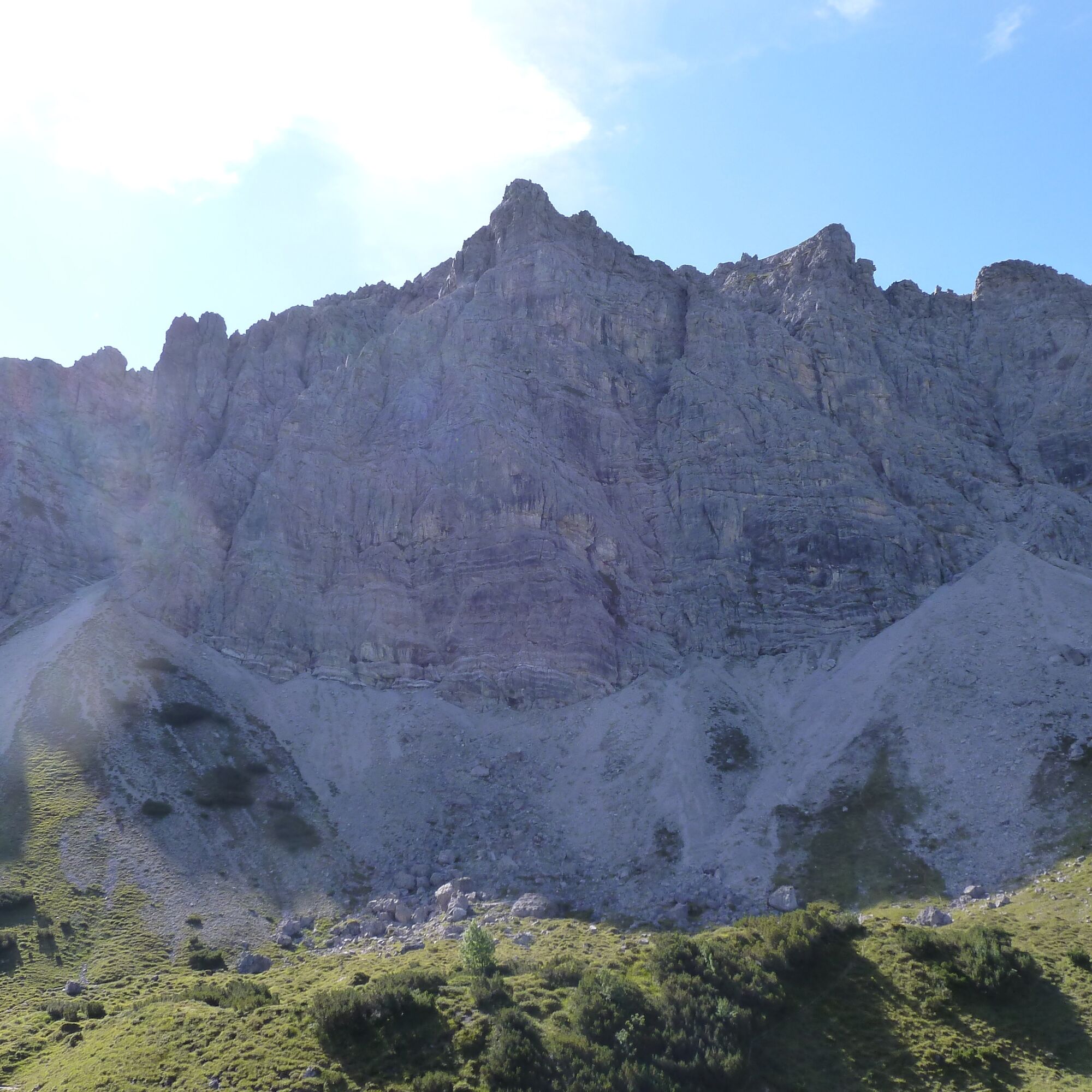
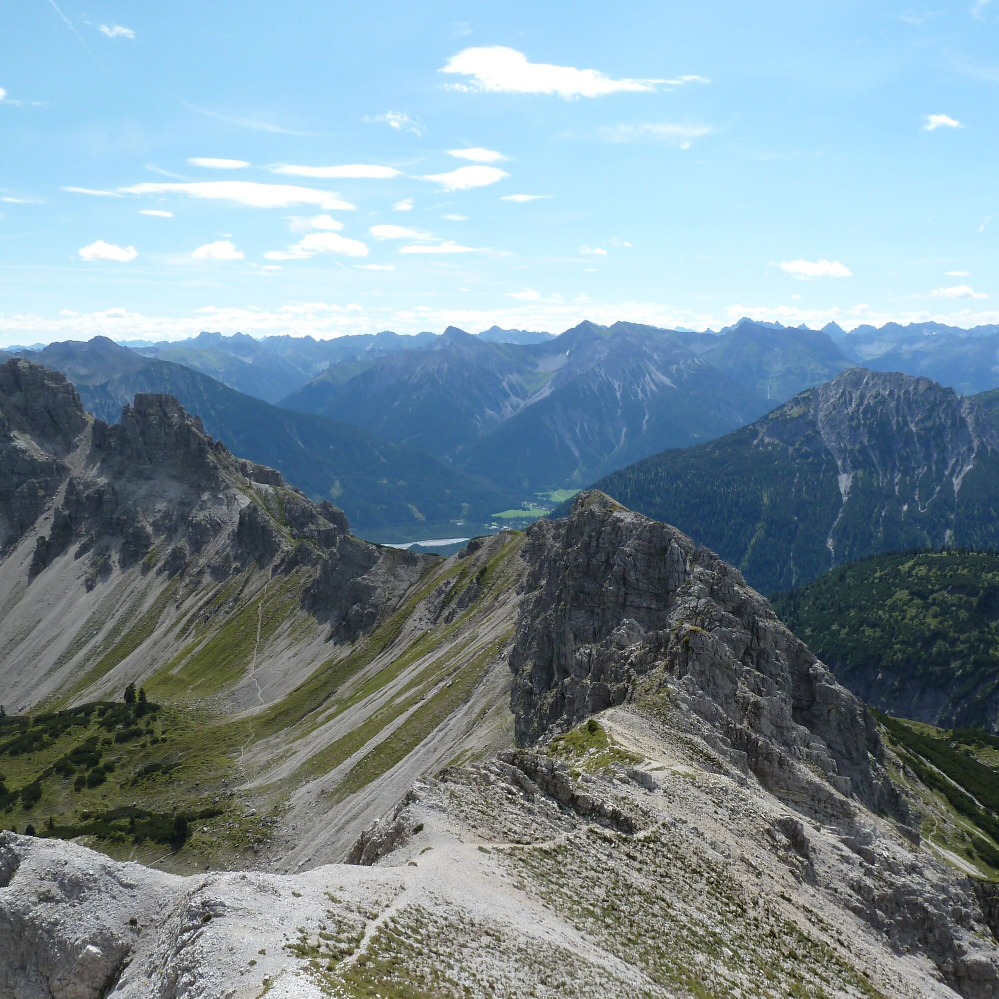
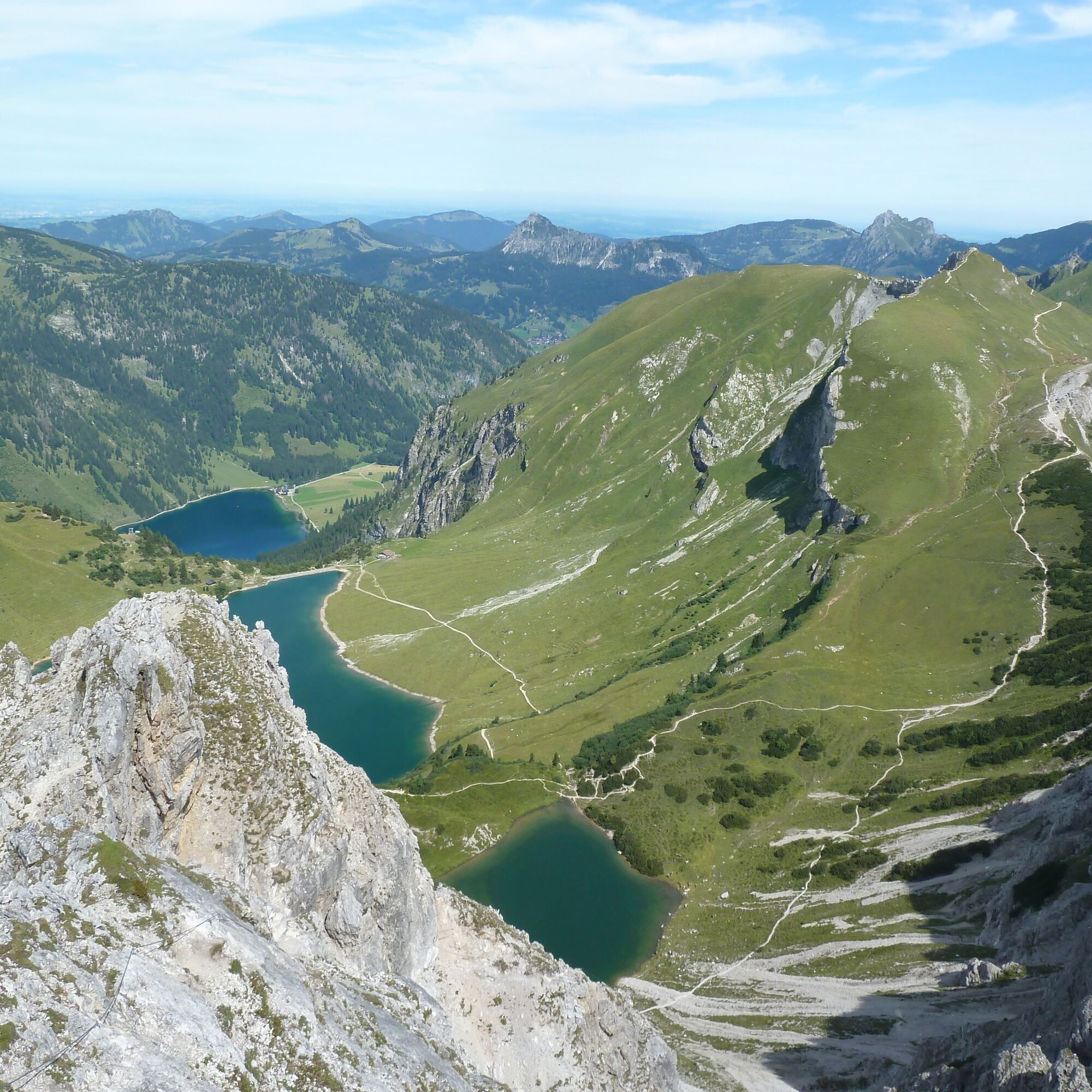
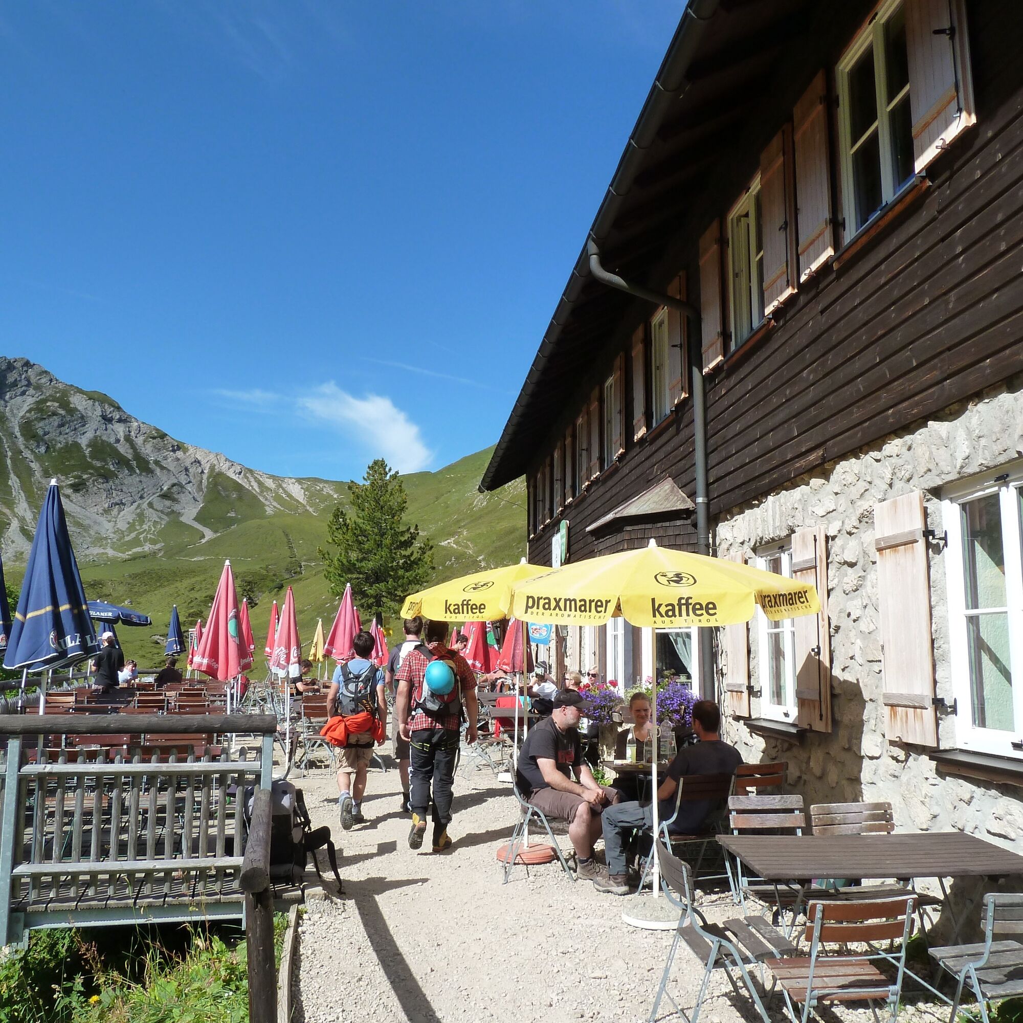
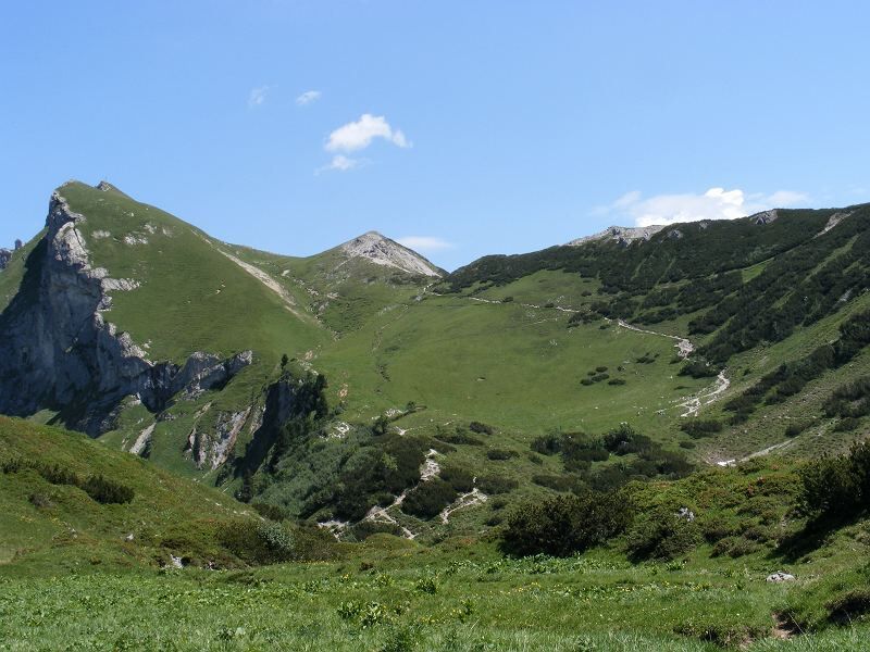

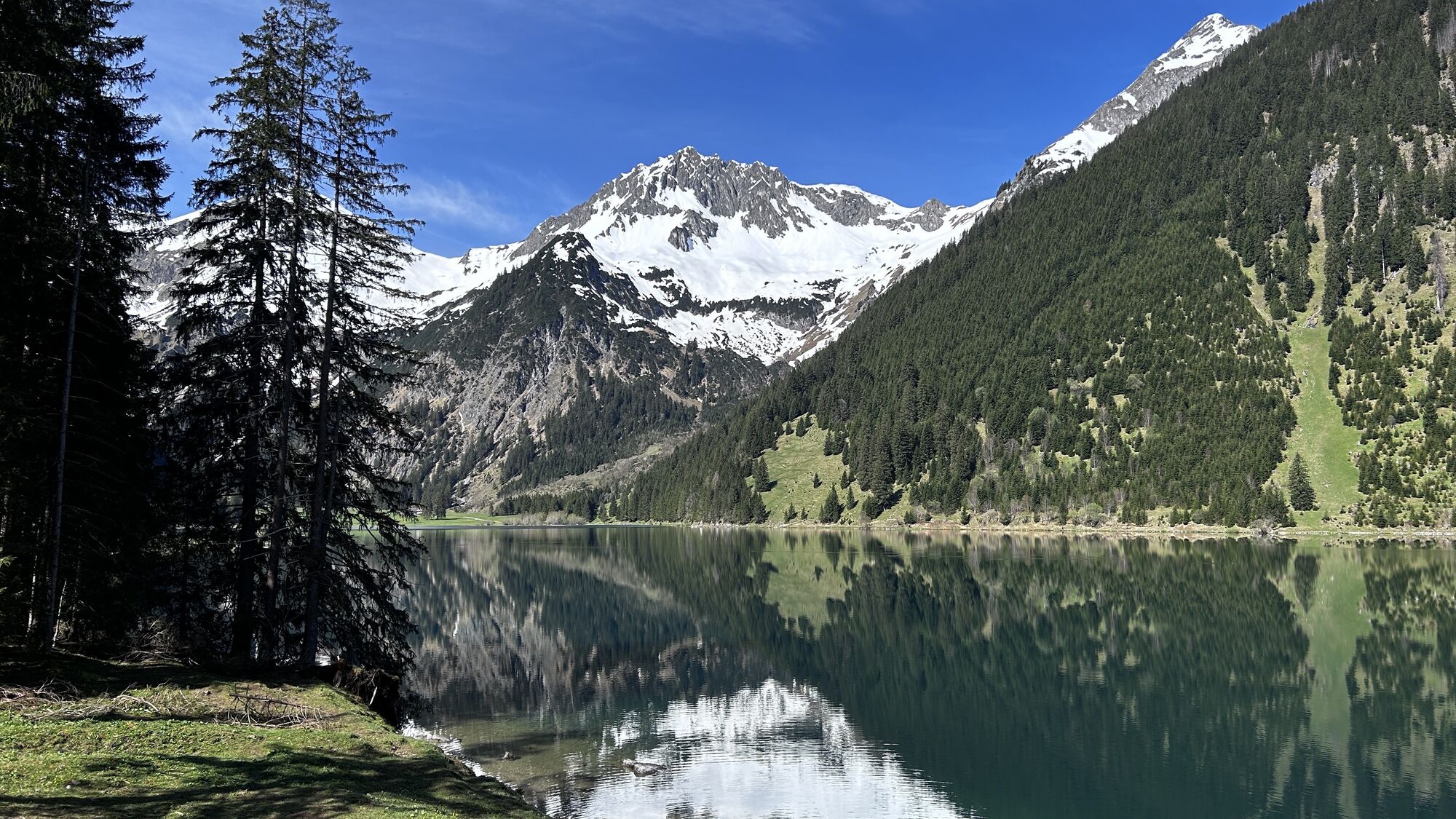
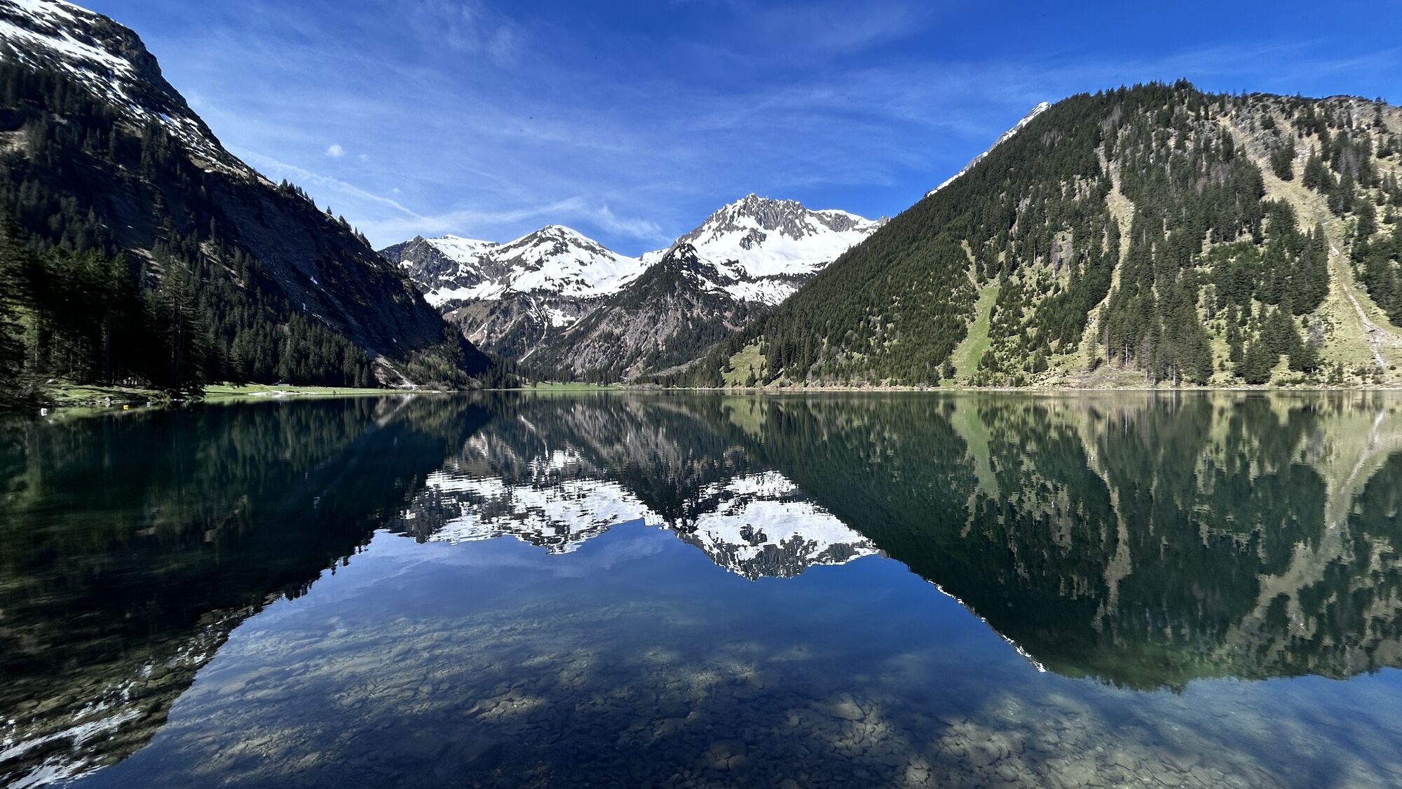
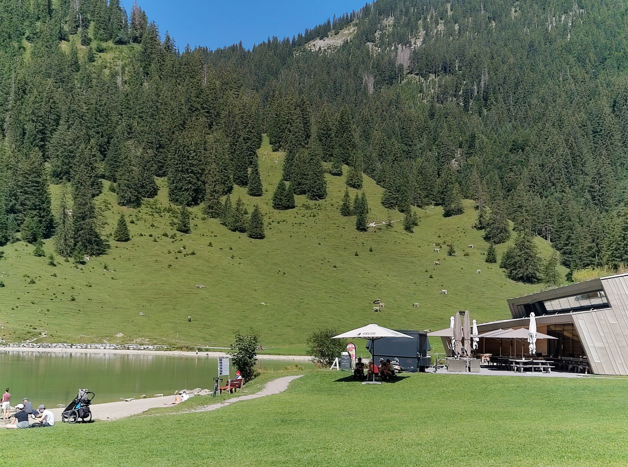
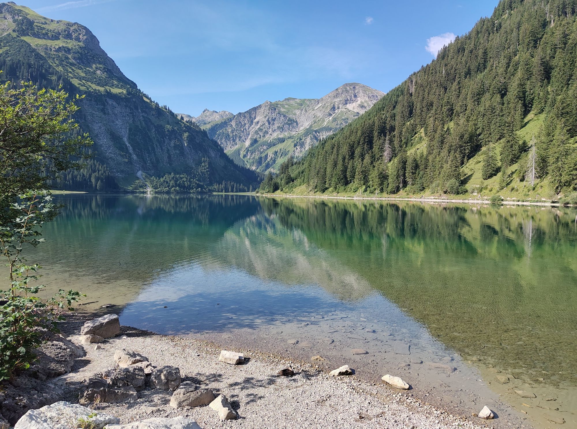
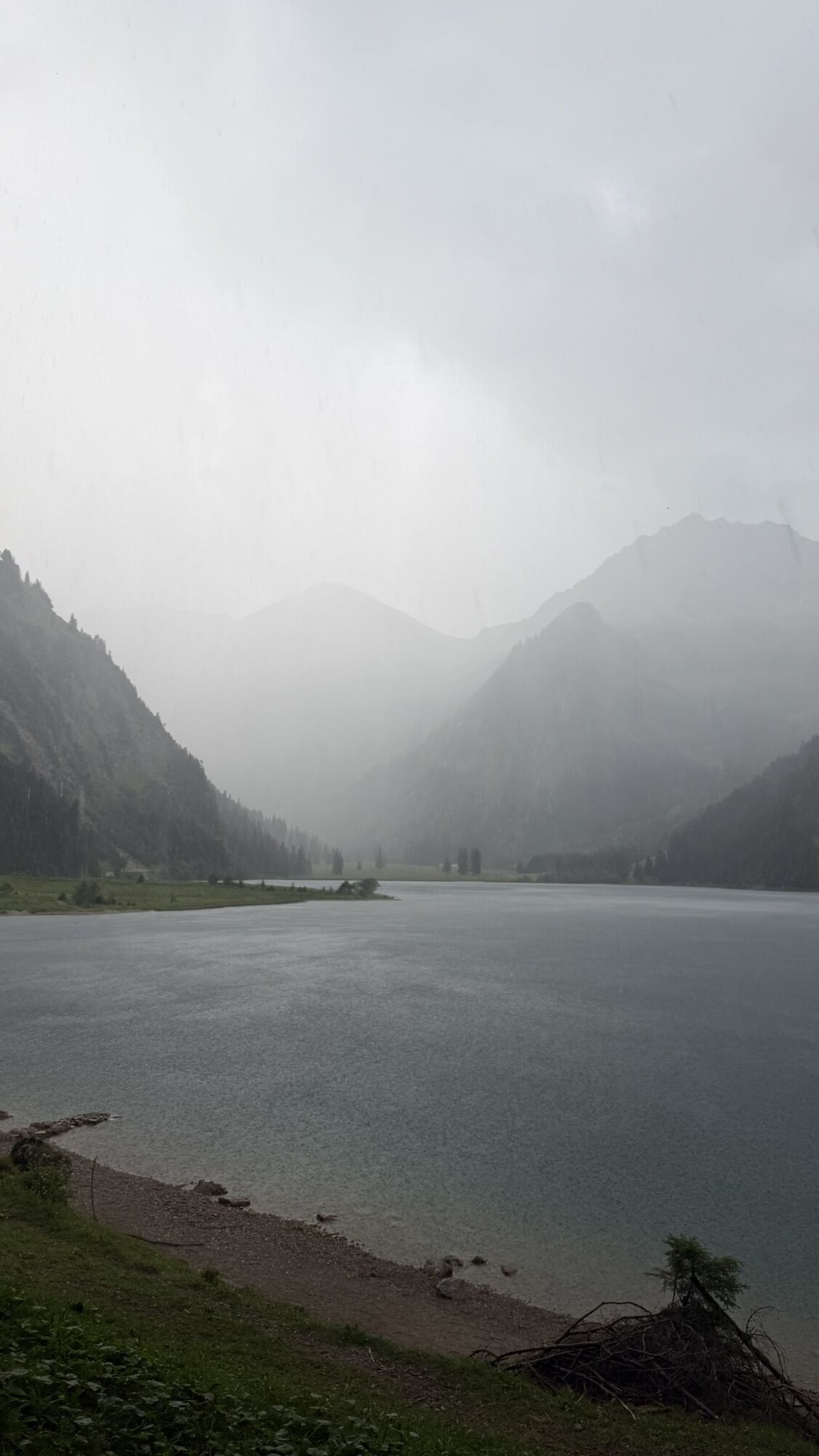
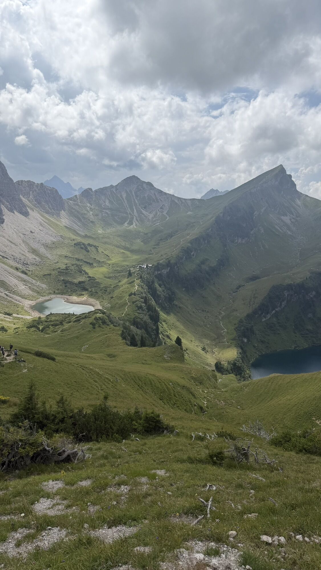
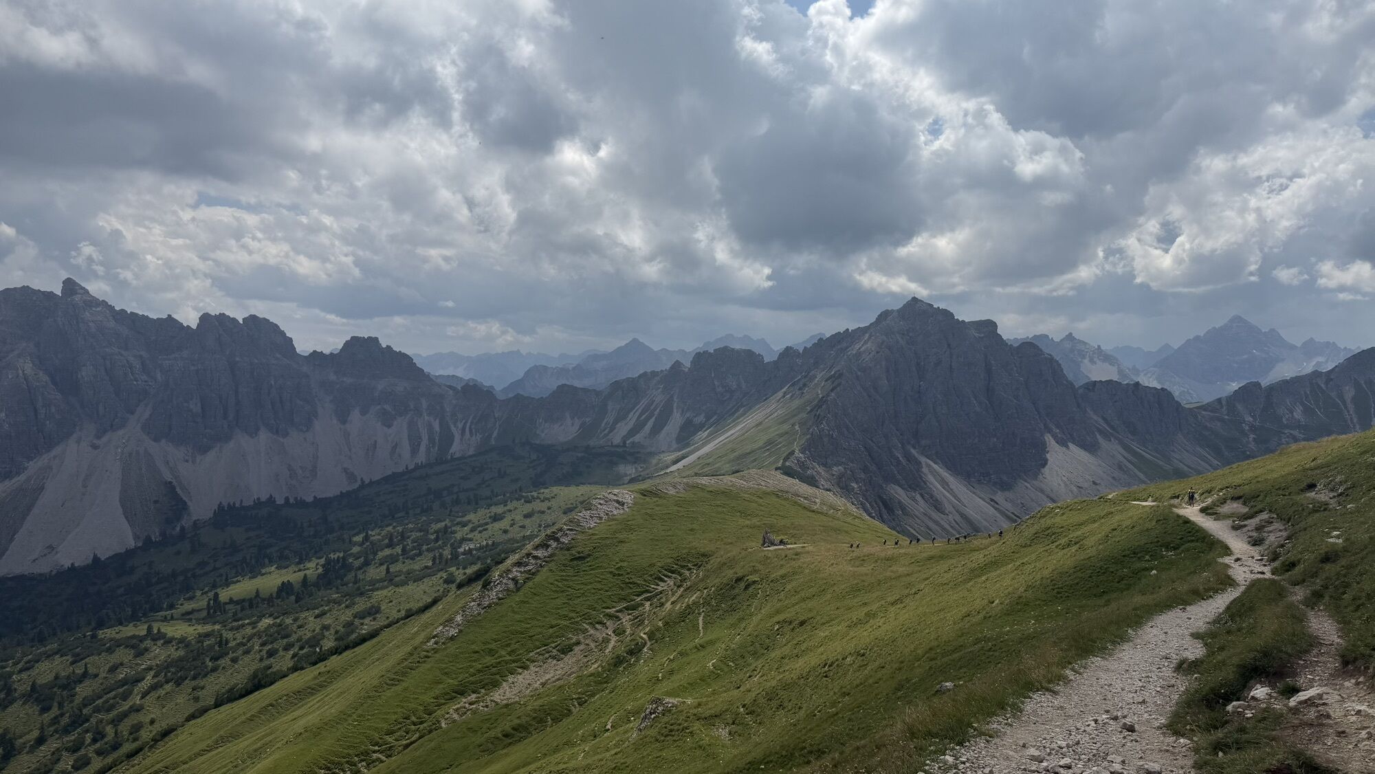
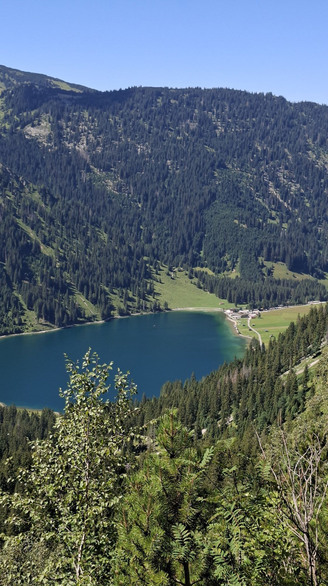
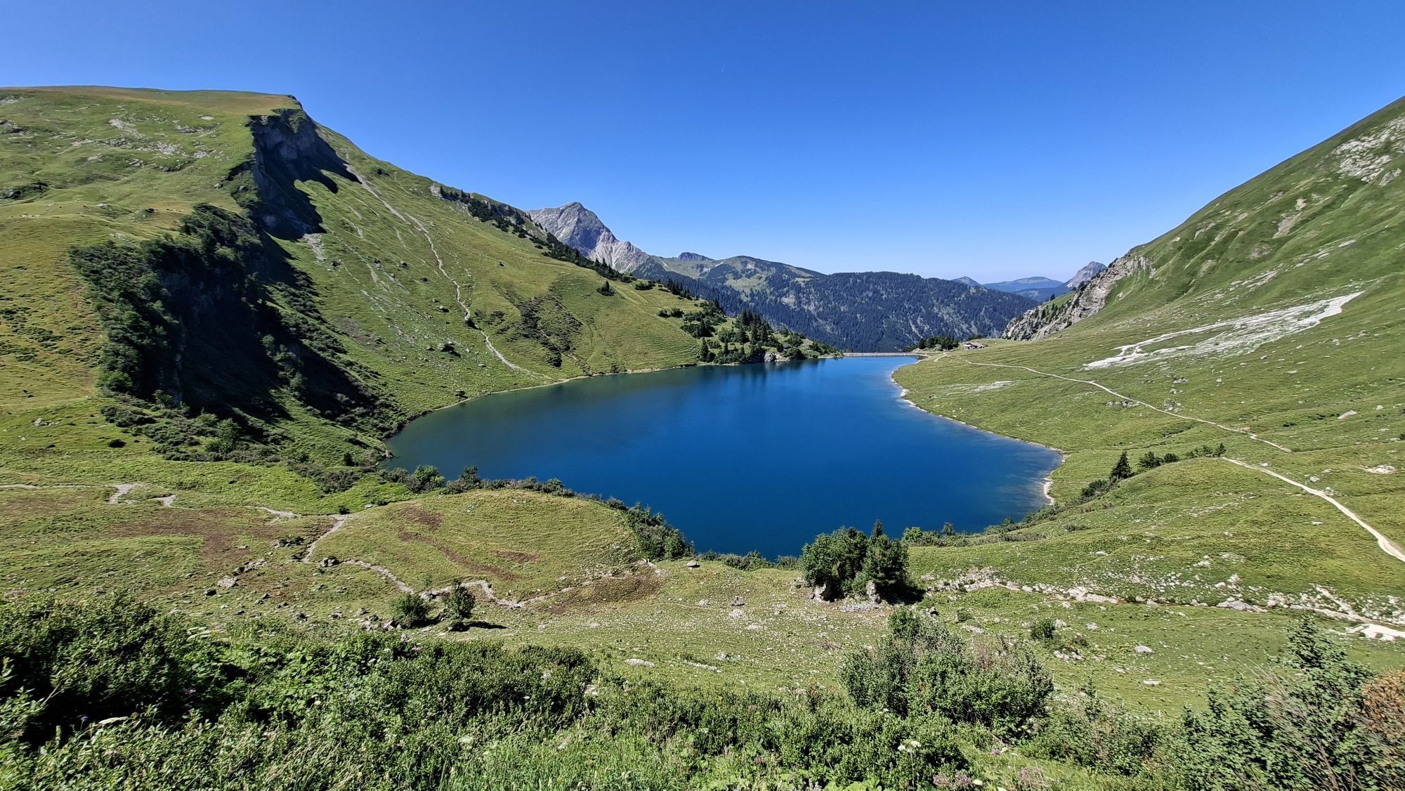
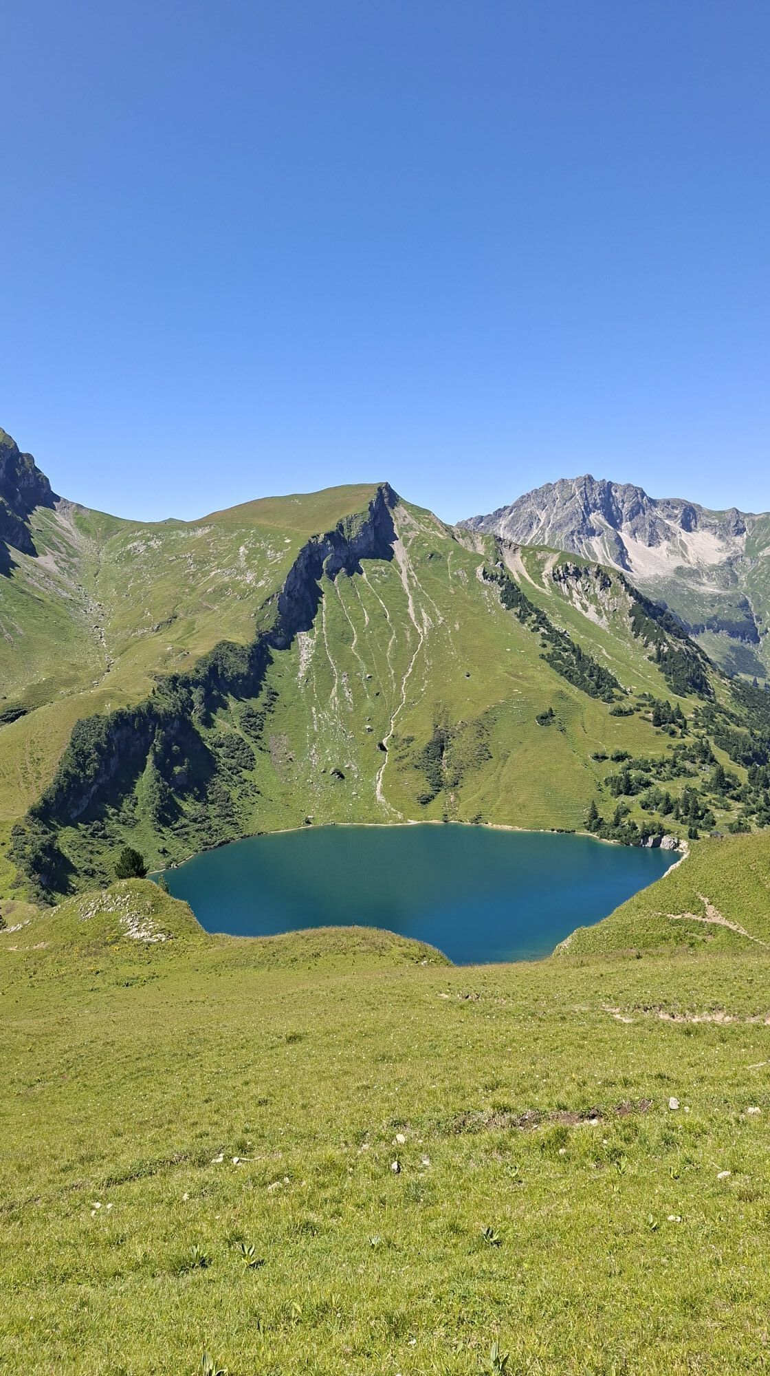
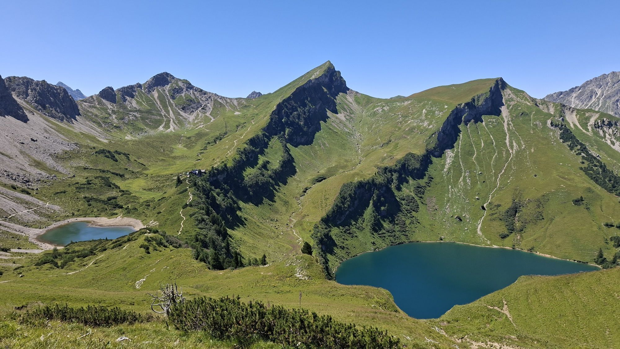
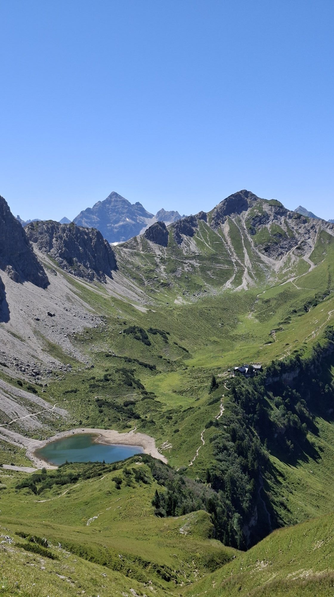
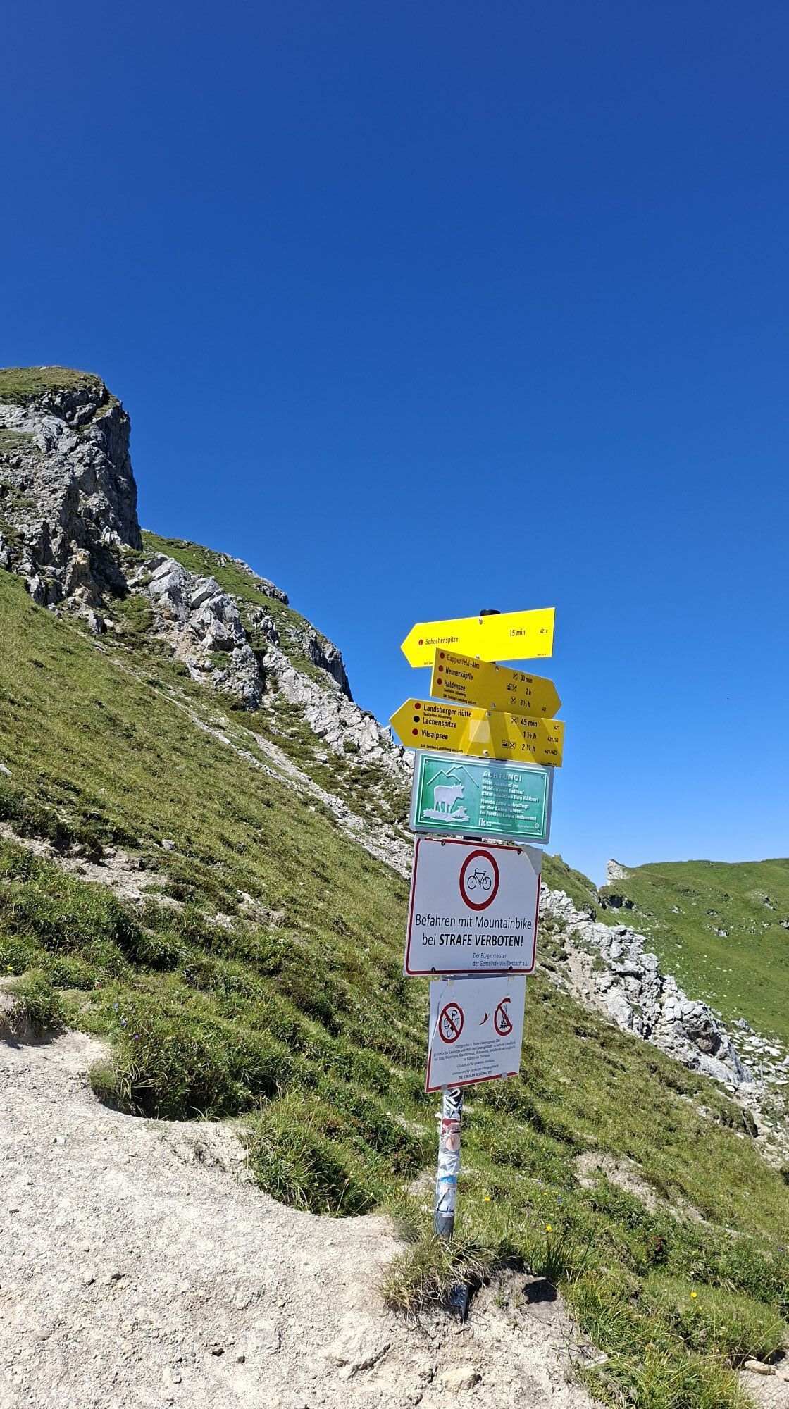
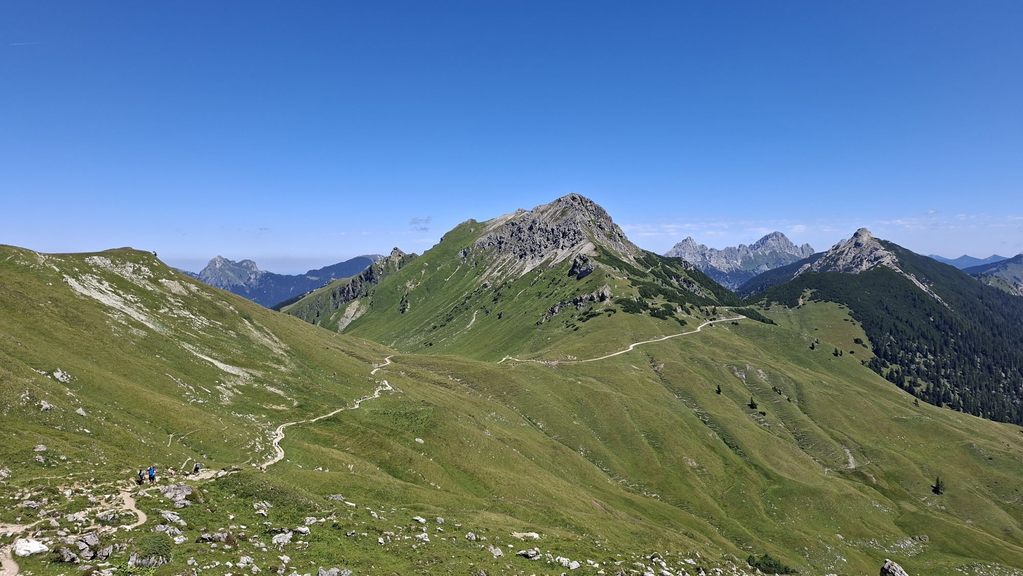
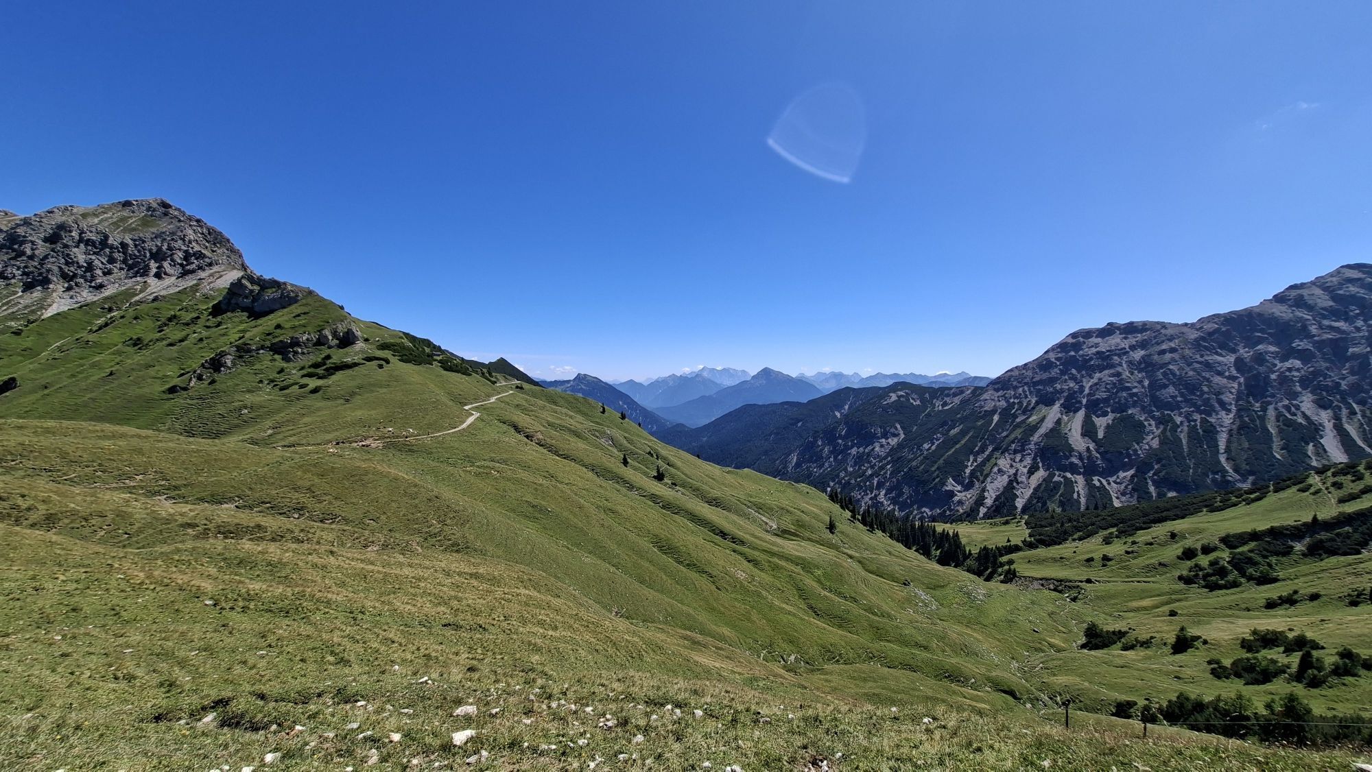
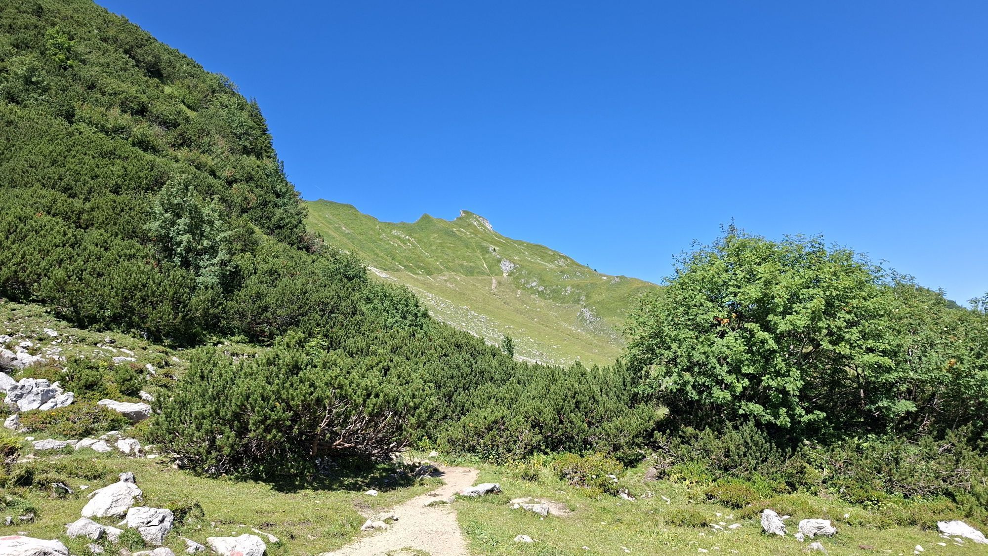
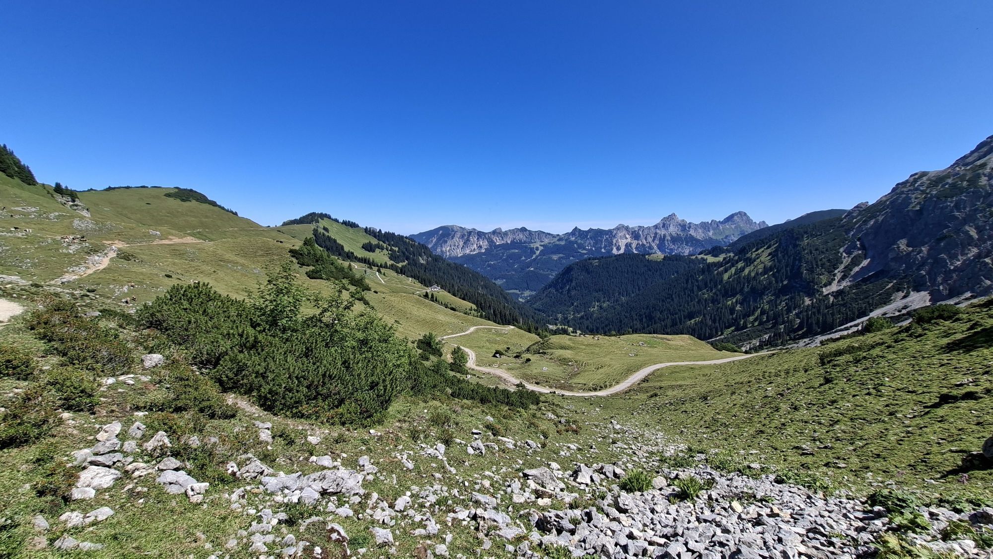
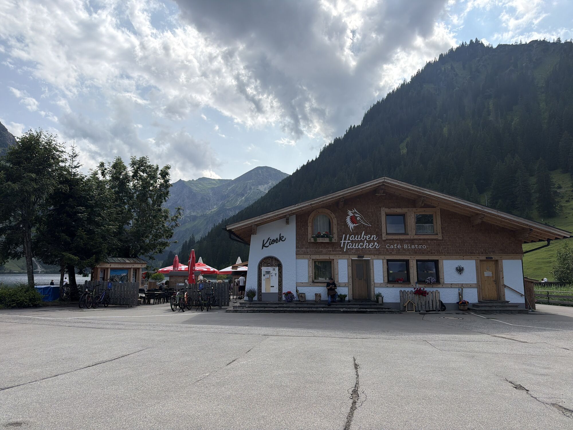
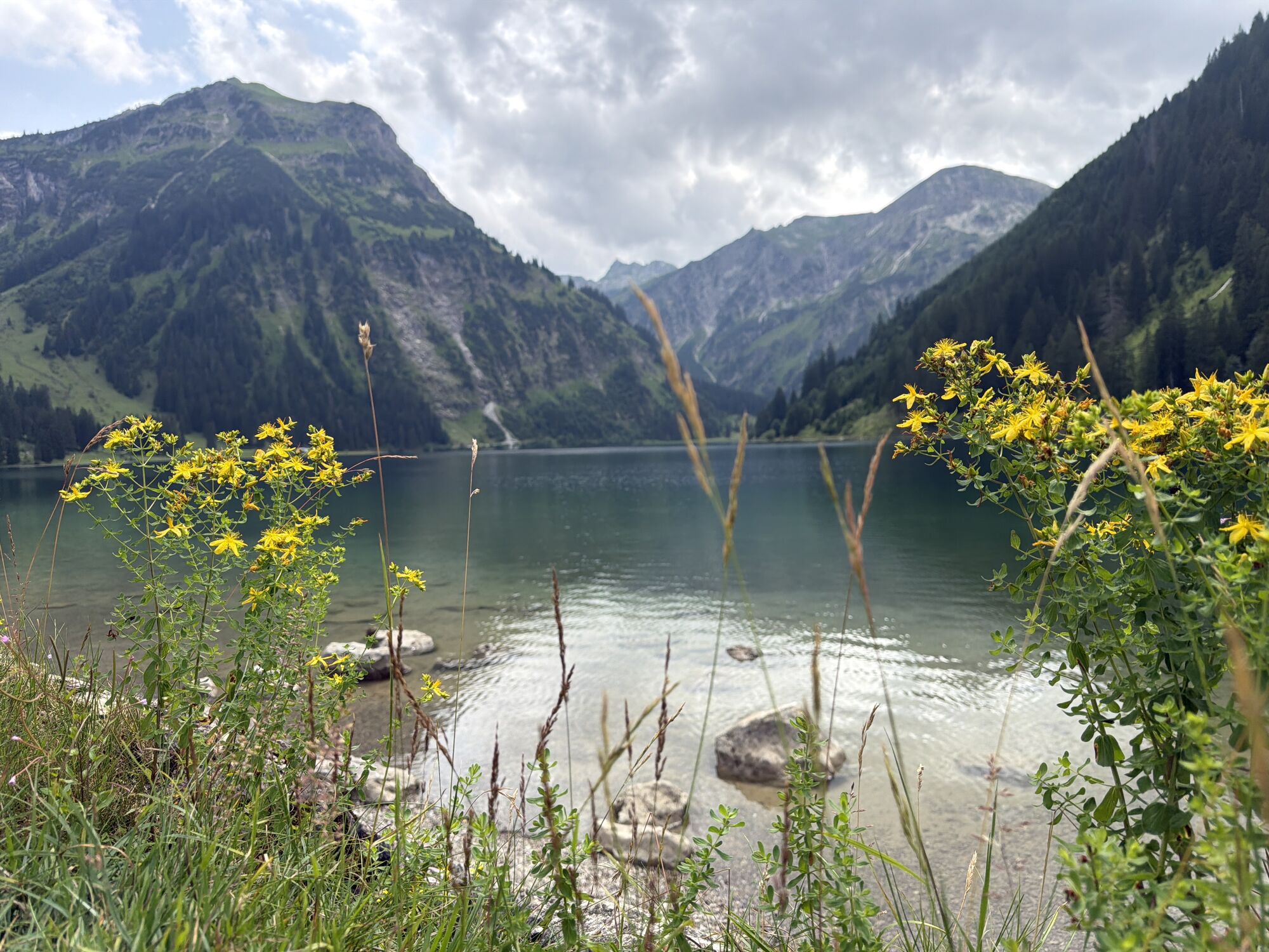
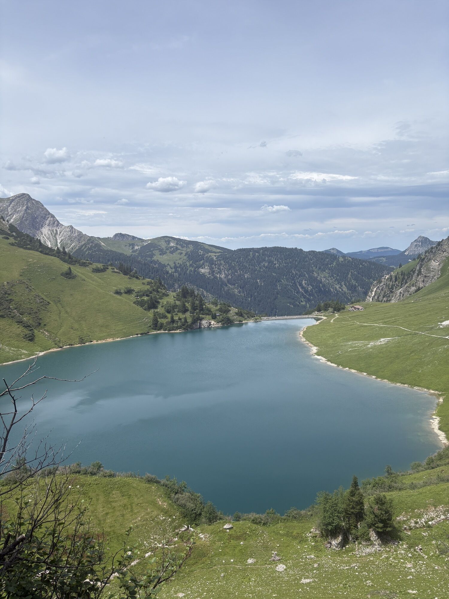
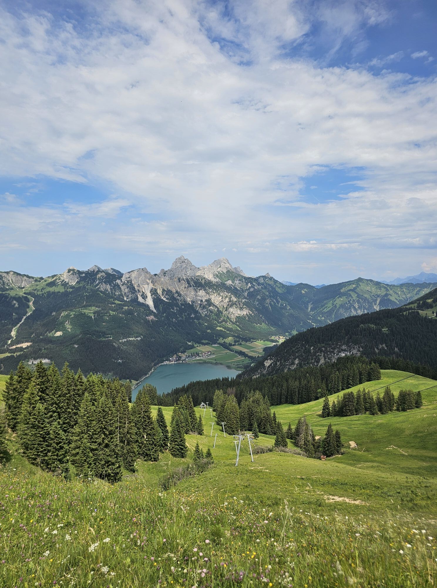
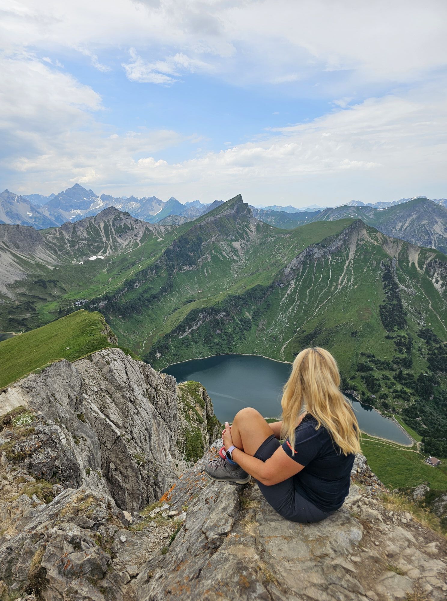
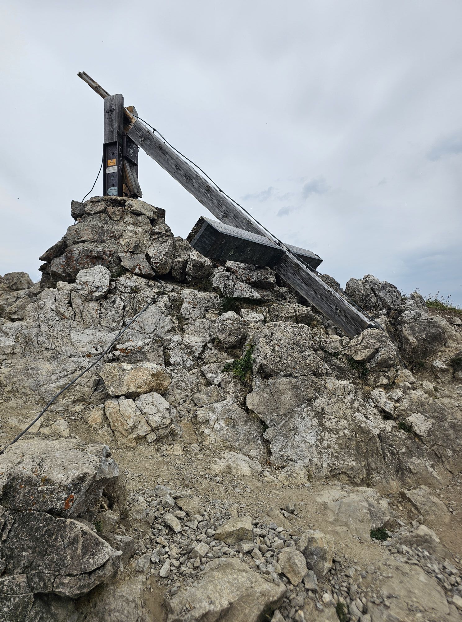
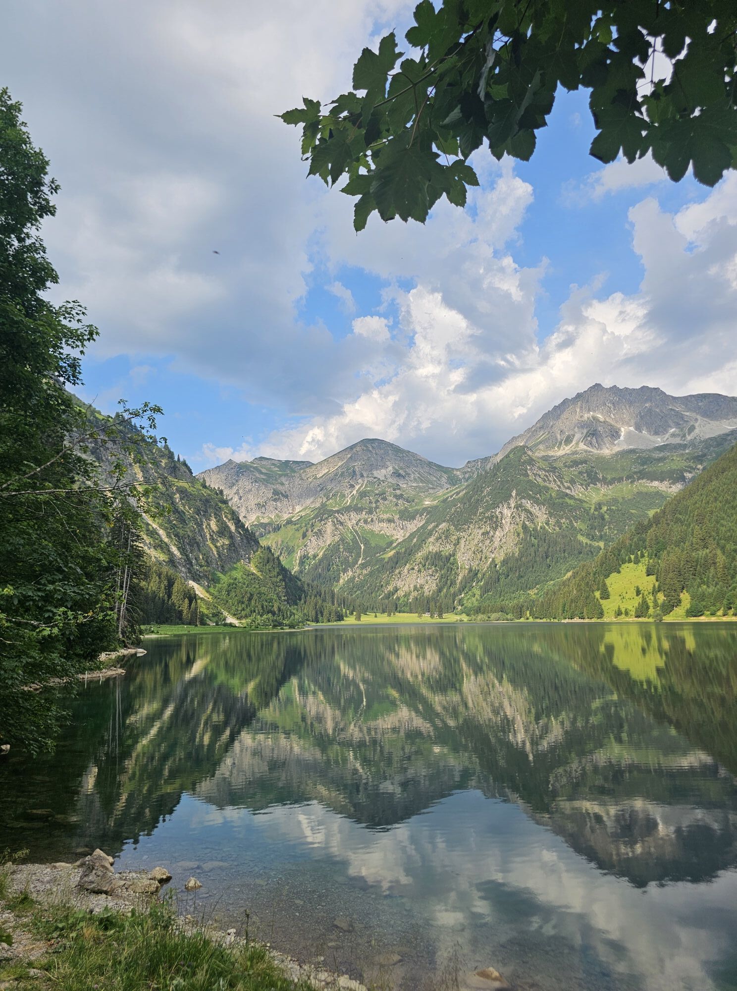
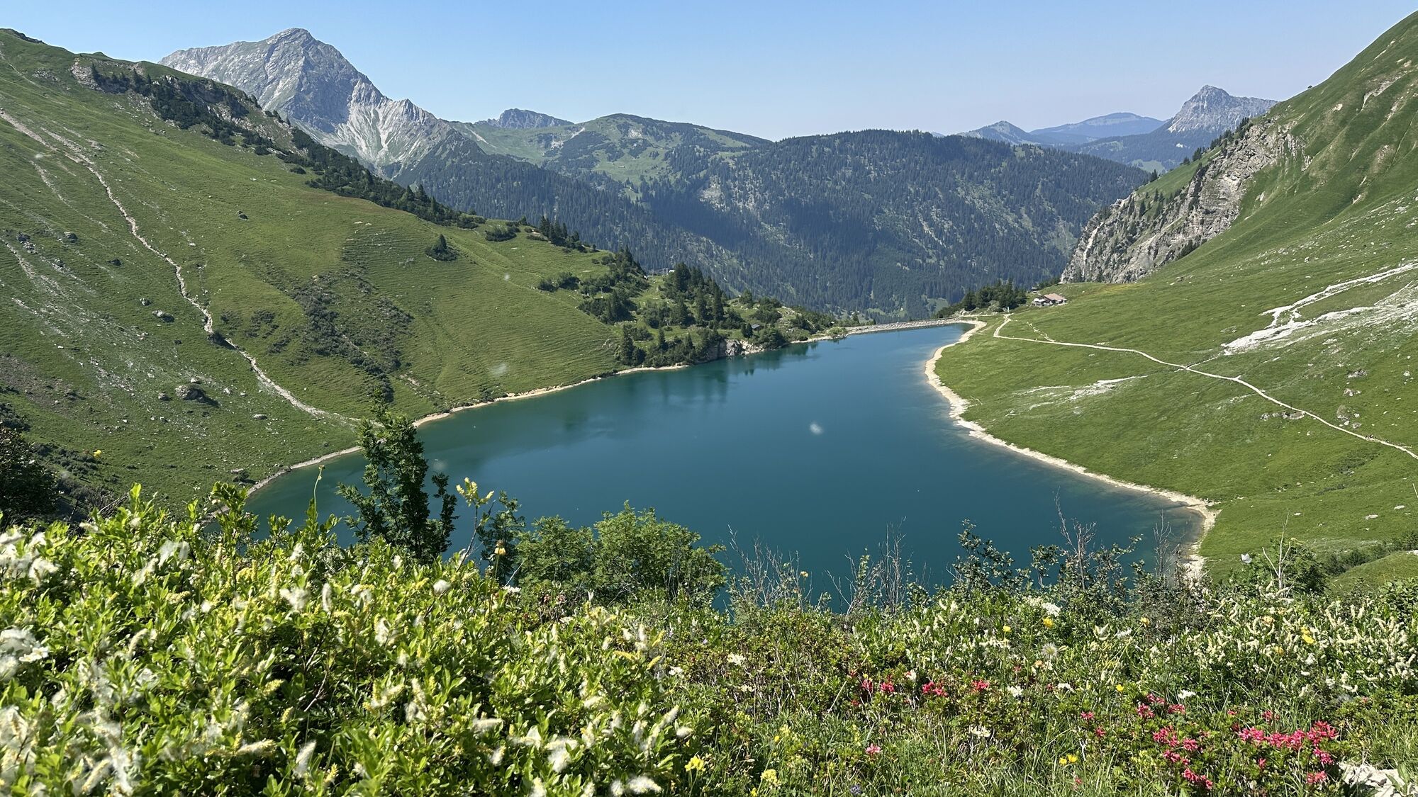
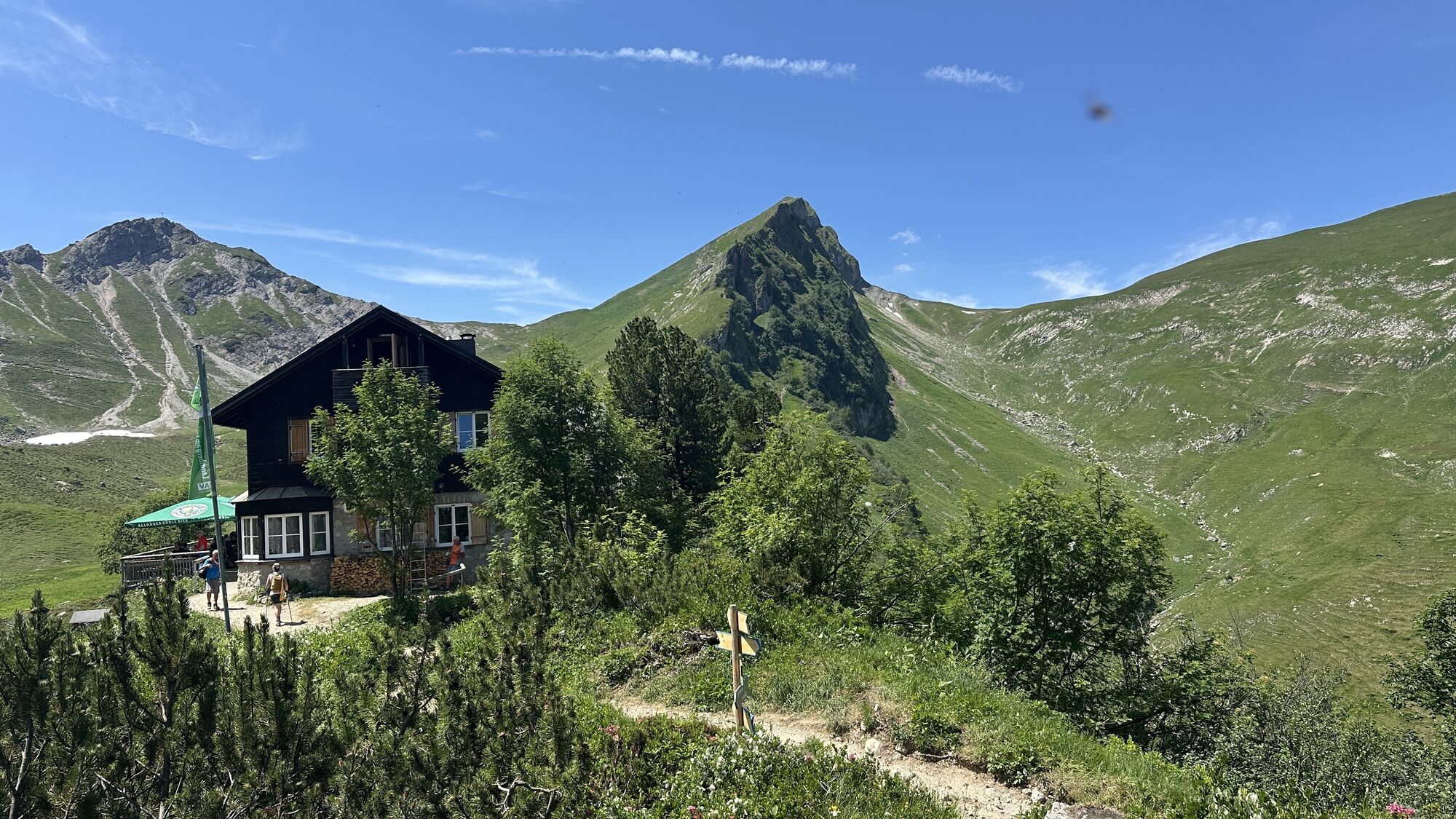
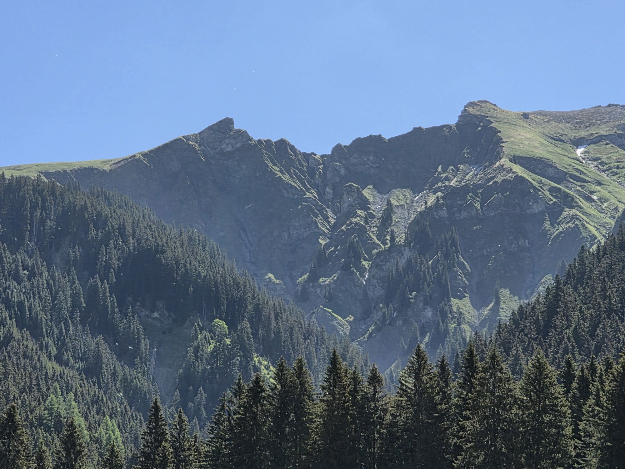
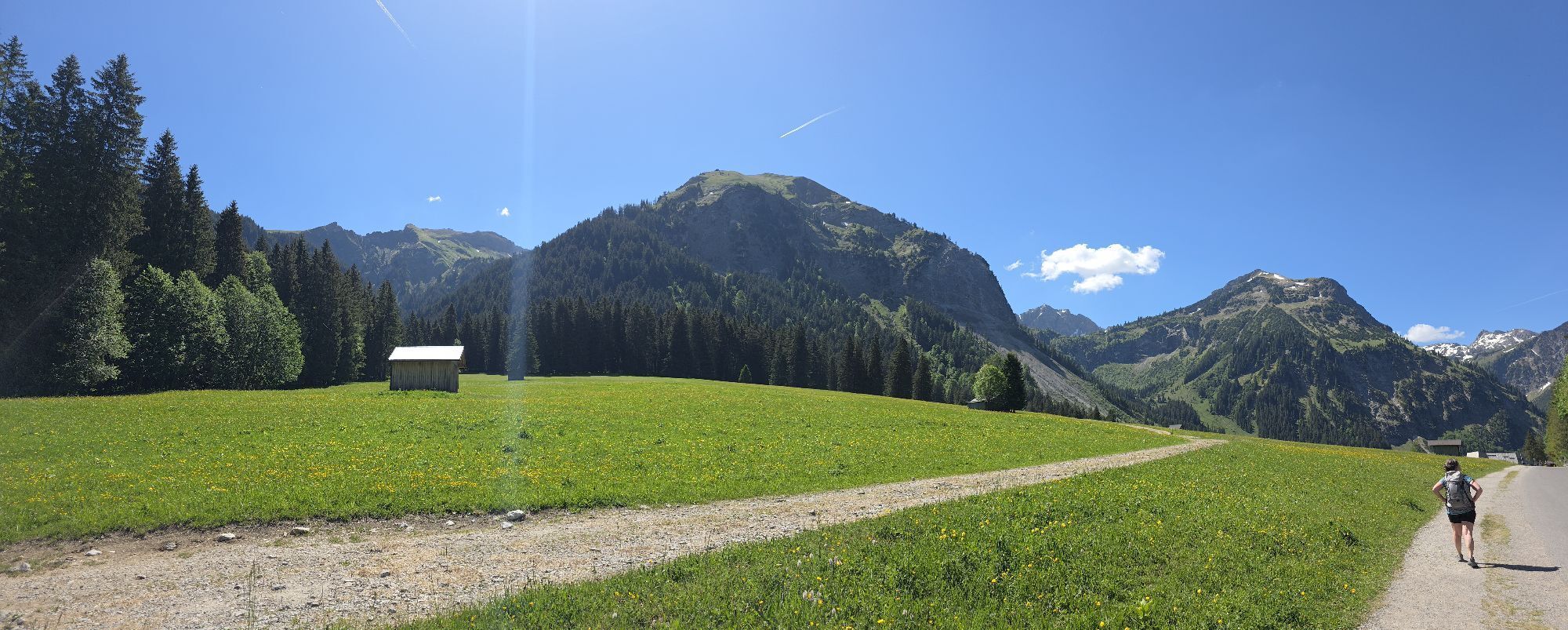
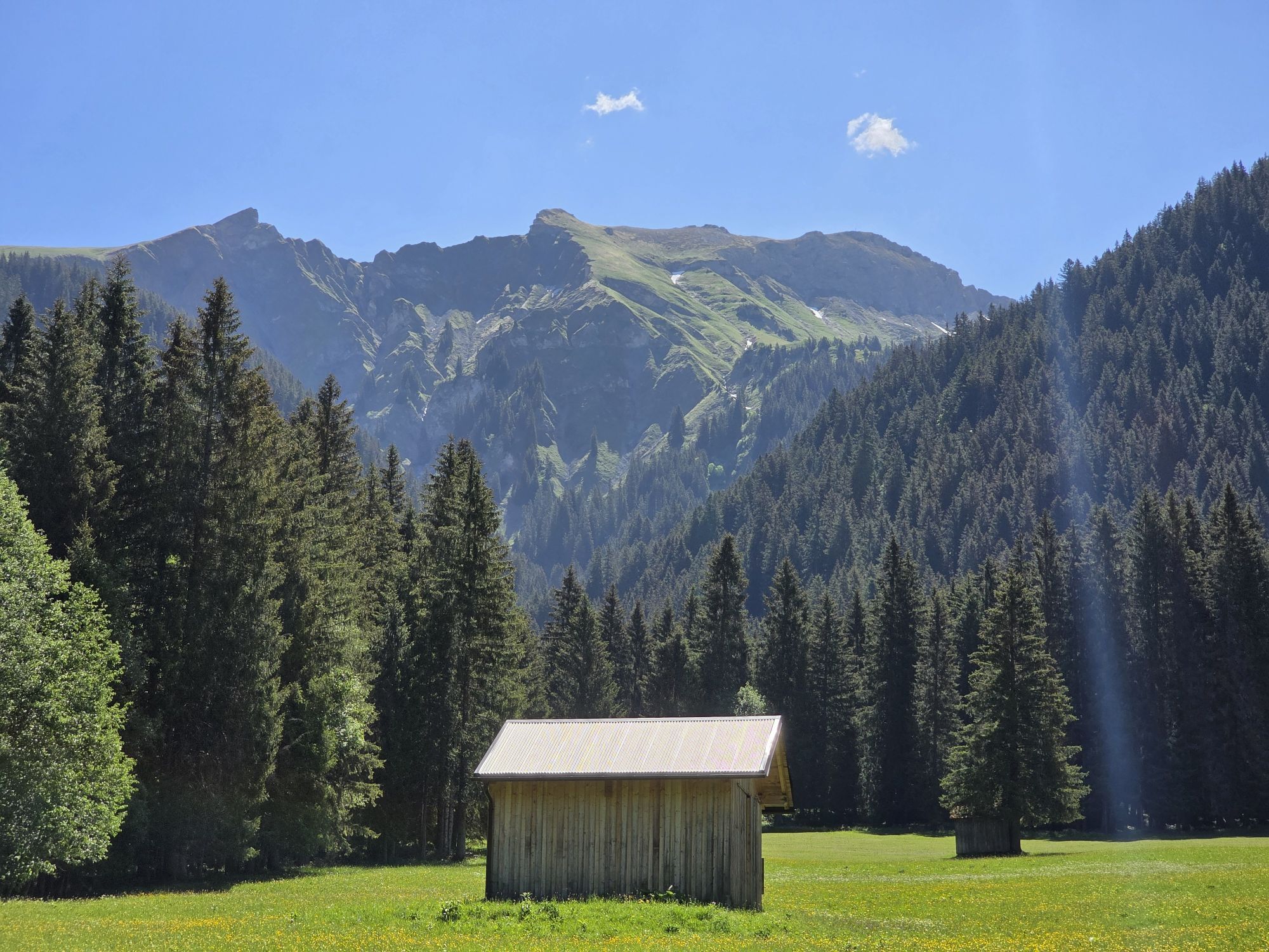
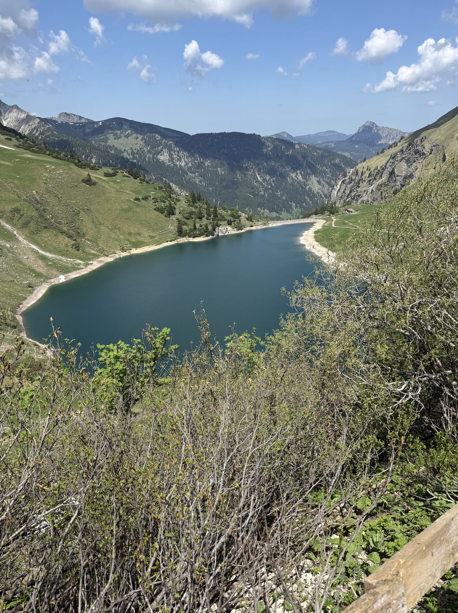
We use the comfortable and beautiful ascent option of the 8-person gondola Neunerköpfle and glide up the slope. The houses in the valley get smaller and smaller, while more and more peaks come into our field of view. Starting from the mountain station, we can immediately take on one of them: A short 15-minute path leads us up to the summit cross of Neunerköpfle, from where we have an impressive panoramic view of the Allgäu Alps, the lowlands and towards the Zugspitze. Finally, we leave the summit on the southern side and enter the Saalfelder Höhenweg (No. 421), a leisurely panoramic path along meadow slopes. In summer, the alpine roses and gentian bloom here in bright colors. Sometimes even an edelweiss flashes up. We continue along the path, first seeing the Usseralpe, then the Gappenfeldalpe below us on the right. However, we orient ourselves towards the Schochenspitze. Shortly before the Schochen, the ascent becomes steep and rocky, narrow switchbacks on grassy fields finally lead us up. This summit is also reached in a quarter of an hour. We enjoy the view of the blue-green Traualpsee, the Landsberger Hütte and the Vilsalpsee. From the meadows at the Schochenspitze, we reach a path over scree fields, on which we reach the Landsberger Hütte below the Lachenspitze. We descend to the Traualpsee and continue hiking down the valley to the Vilsalpsee. There you can conveniently choose the bus or walk towards Tannheim. This ends at the entrance to Tannheim; we now walk straight ahead on the road, pass a small chapel and come to the town center of Tannheim. At the roundabout we keep right and see the valley station of the gondola again, where we started our hike.
Da
Da
Da
Normal hiking equipment and poles.
In wet conditions, it is recommended to take the alternative route after Neunerköpfle via the Obere Strindenalpe and the Gappenfeldalpe, as the path along the slope is then very slippery.
From the Tyrol side via Reutte on the B198 towards the Lechtal to Weißenbach, over the Gaichtpass along the B199 to exit Tannheim, Neunerköpfle cable car.
By train to Sonthofen, Pfronten/Ried or Reutte, then by bus to Tannheim.
You can park at the valley station of the Neunerköpfle cable car
Tourismusverband Tannheimer TalTannheimer Bergbahnen
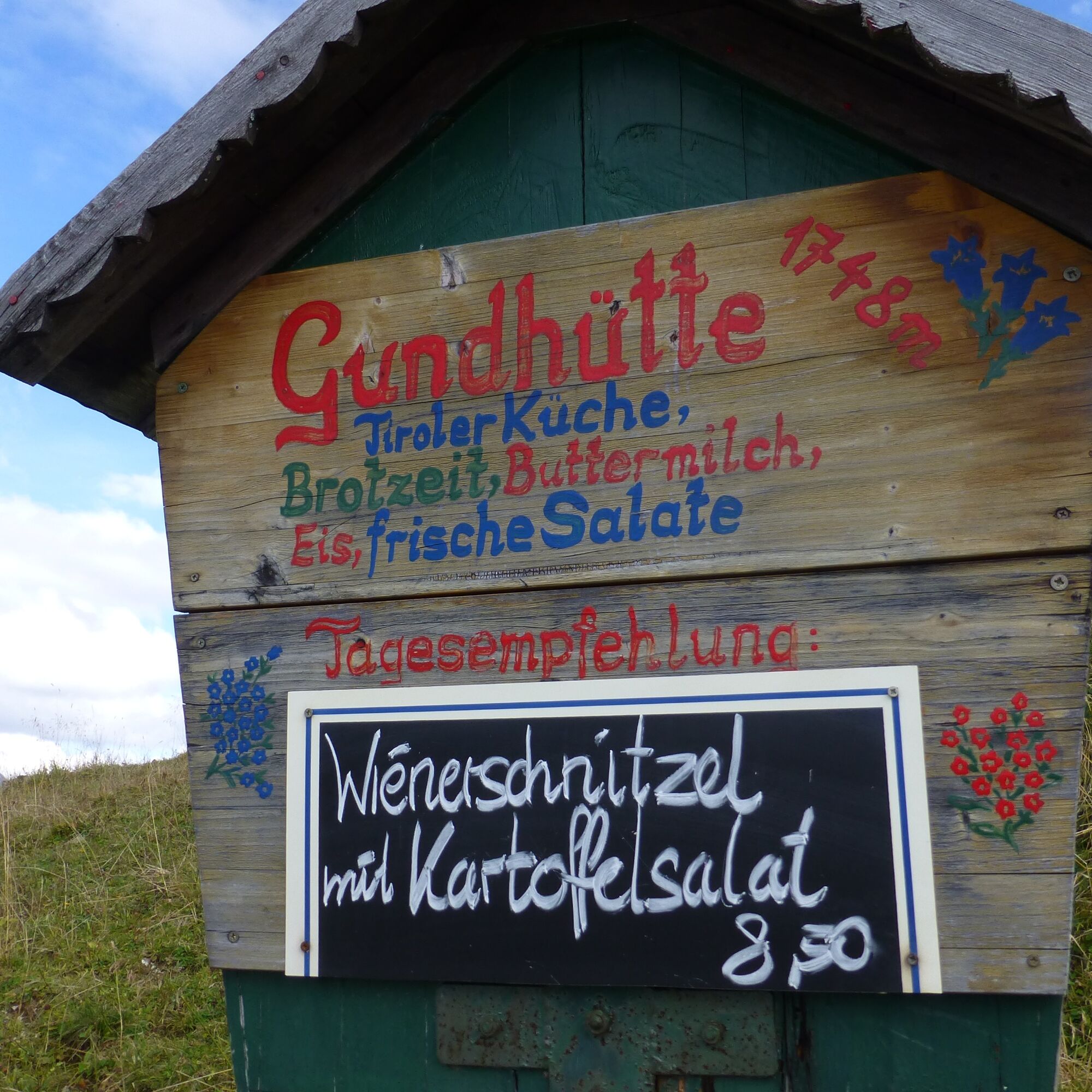
Gundhütte
Gappenfeldalpe
Landsberger Hütte
Obere Traualpe
An absolute dream route in the Tannheim Mountains.
This route has also been named Austria's most popular hike and was awarded the Tyrolean Hiking Trail Seal of Quality in July 2017.
 Pridobite vpogled
Vedno v živo na mestu z več kot 9.500 spletnimi kamerami. bergfex Kot uporabnik Pro si lahko zdaj ogledate ustrezne spletne kamere za številne izlete v aplikaciji izleti iz. Tako si lahko neposredno ogledate trenutne razmere.
Pridobite vpogled
Vedno v živo na mestu z več kot 9.500 spletnimi kamerami. bergfex Kot uporabnik Pro si lahko zdaj ogledate ustrezne spletne kamere za številne izlete v aplikaciji izleti iz. Tako si lahko neposredno ogledate trenutne razmere.


Priljubljeni izleti v okolici
-
5.0
Hiking tour to Breitenberg
težkoPohodništvo 15.6 km -
4.9
Gemeinde Grän, Tirol/Österreich Aggenstein Rundtour über Höhenweg
srednjaPohodništvo 9.84 km -
4.8
Do koče Bad Kissinger Hütte po poti Gräner Höhenweg
srednjaPohodništvo 13.0 km -
4.8
Tannheim / Vilsalpsee / Landsberger Hütte
srednjaPohodništvo 15.7 km -
4.7
Panorama route to the Ostlerhütte
srednjaPohodništvo 5.11 km -
4.8
Iseler und Kühgundkopf
srednjaPohodništvo 7.63 km -
4.8
Unterer Gaisalpsee
srednjaVisokogorska tura 8.64 km -
4.7
Rubihorn
srednjaPohodništvo 9.06 km -
4.7
3-Gipfel-Tour
srednjaPohodništvo 11.2 km -
4.6
3-Seen Rundtour Vilsalpsee / Schrecksee / Traualpsee
srednjaPohodništvo 17.1 km
Pohodništvo in sledenje


Ne zamudite ponudb in navdiha za naslednje počitnice
Vaš e-poštni naslov je bil dodan na poštni seznam.





