


Hiking tour to Breitenberg
Fotografije naših uporabnikov

 © LeonUstvarjeno na 22.02.2026
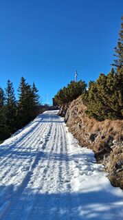 © Thomas JägerUstvarjeno na 13.12.2025
 © Thomas JägerUstvarjeno na 13.12.2025
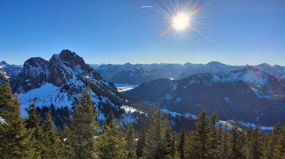 © Thomas JägerUstvarjeno na 13.12.2025
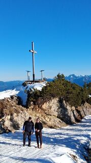 © Thomas JägerUstvarjeno na 13.12.2025
 © Thomas JägerUstvarjeno na 13.12.2025
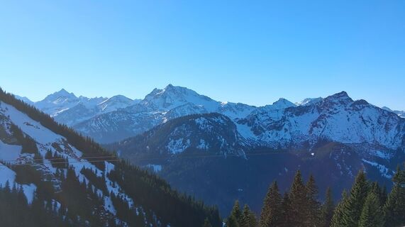 © Thomas JägerUstvarjeno na 13.12.2025
 © Thomas JägerUstvarjeno na 13.12.2025
 © Thomas JägerUstvarjeno na 13.12.2025
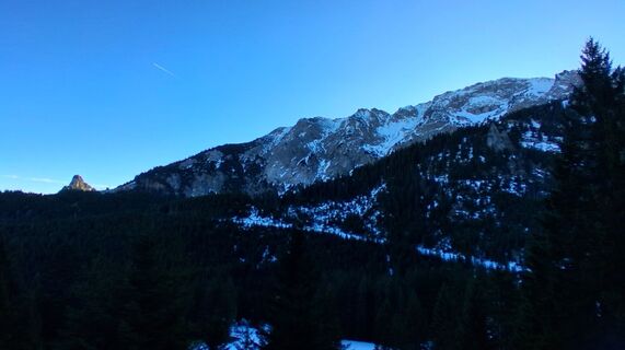 © Thomas JägerUstvarjeno na 13.12.2025
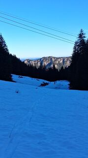 © Thomas JägerUstvarjeno na 13.12.2025
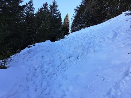
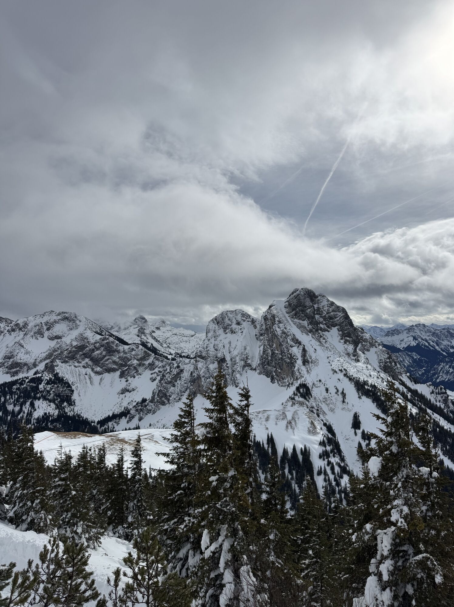
 © Thomas MöllerUstvarjeno na 02.12.2025
 © Ralf ZehendnerUstvarjeno na 08.11.2025
 © Ralf ZehendnerUstvarjeno na 08.11.2025
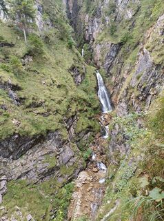
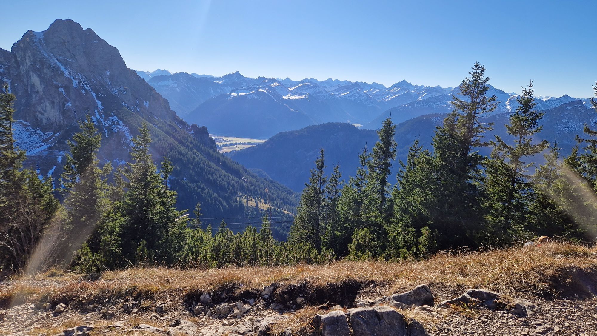
 © karlheinz adonisUstvarjeno na 08.09.2025
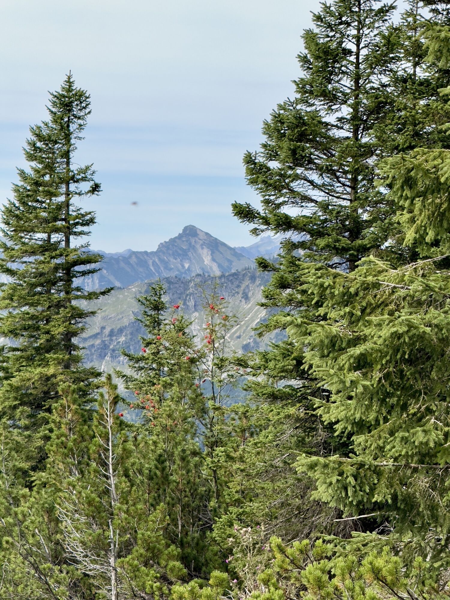
 © Margarita HildermannUstvarjeno na 07.09.2025
 © Margarita HildermannUstvarjeno na 07.09.2025
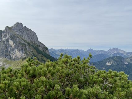 © Margarita HildermannUstvarjeno na 07.09.2025
 © Margarita HildermannUstvarjeno na 07.09.2025
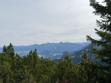 © Margarita HildermannUstvarjeno na 07.09.2025
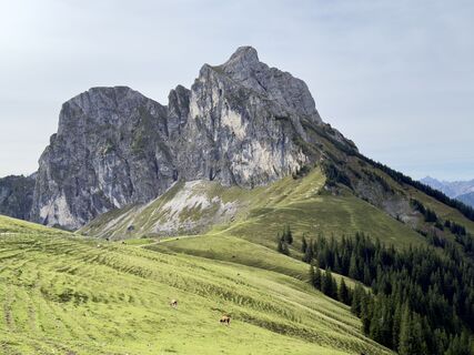 © Margarita HildermannUstvarjeno na 07.09.2025
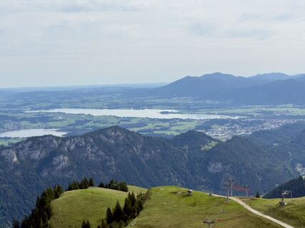 © Margarita HildermannUstvarjeno na 07.09.2025
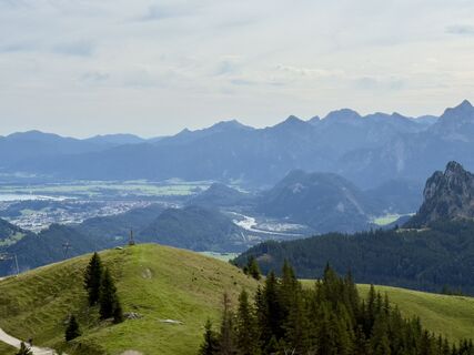 © Margarita HildermannUstvarjeno na 07.09.2025
 © Margarita HildermannUstvarjeno na 07.09.2025
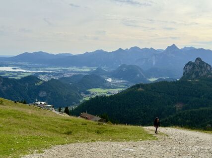 © Margarita HildermannUstvarjeno na 07.09.2025
 © Margarita HildermannUstvarjeno na 07.09.2025
 © Anna AndrzejewskaUstvarjeno na 18.08.2025
 © Anna AndrzejewskaUstvarjeno na 18.08.2025
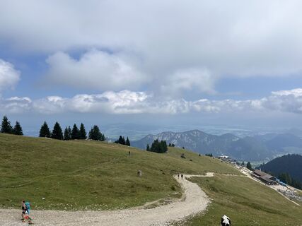 © Anna AndrzejewskaUstvarjeno na 18.08.2025
 © Anna AndrzejewskaUstvarjeno na 18.08.2025
 © Thomas EderleUstvarjeno na 15.08.2025
 © Thomas EderleUstvarjeno na 15.08.2025
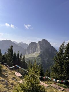 © Thomas EderleUstvarjeno na 15.08.2025
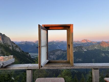 © Michael Schmitz 7Ustvarjeno na 19.07.2025
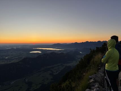 © Michael Schmitz 7Ustvarjeno na 19.07.2025
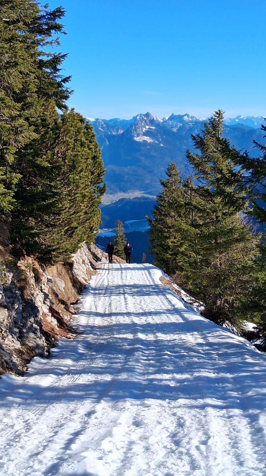
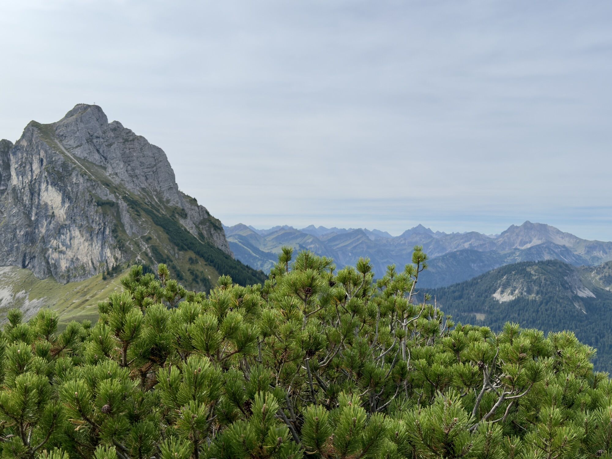
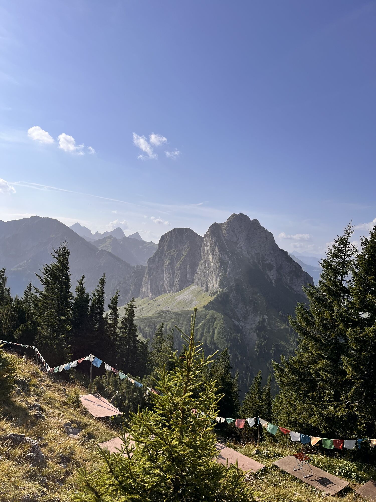
 © xLeon-Alpin⛏️Ustvarjeno na 05.04.2025
 © xLeon-Alpin⛏️Ustvarjeno na 05.04.2025
 © xLeon-Alpin⛏️Ustvarjeno na 05.04.2025
 © xLeon-Alpin⛏️Ustvarjeno na 05.04.2025
 © xLeon-Alpin⛏️Ustvarjeno na 05.04.2025
 © xLeon-Alpin⛏️Ustvarjeno na 05.04.2025
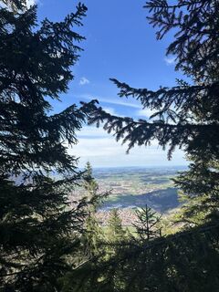 © xLeon-Alpin⛏️Ustvarjeno na 05.04.2025
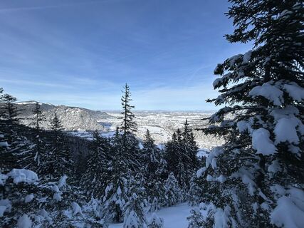
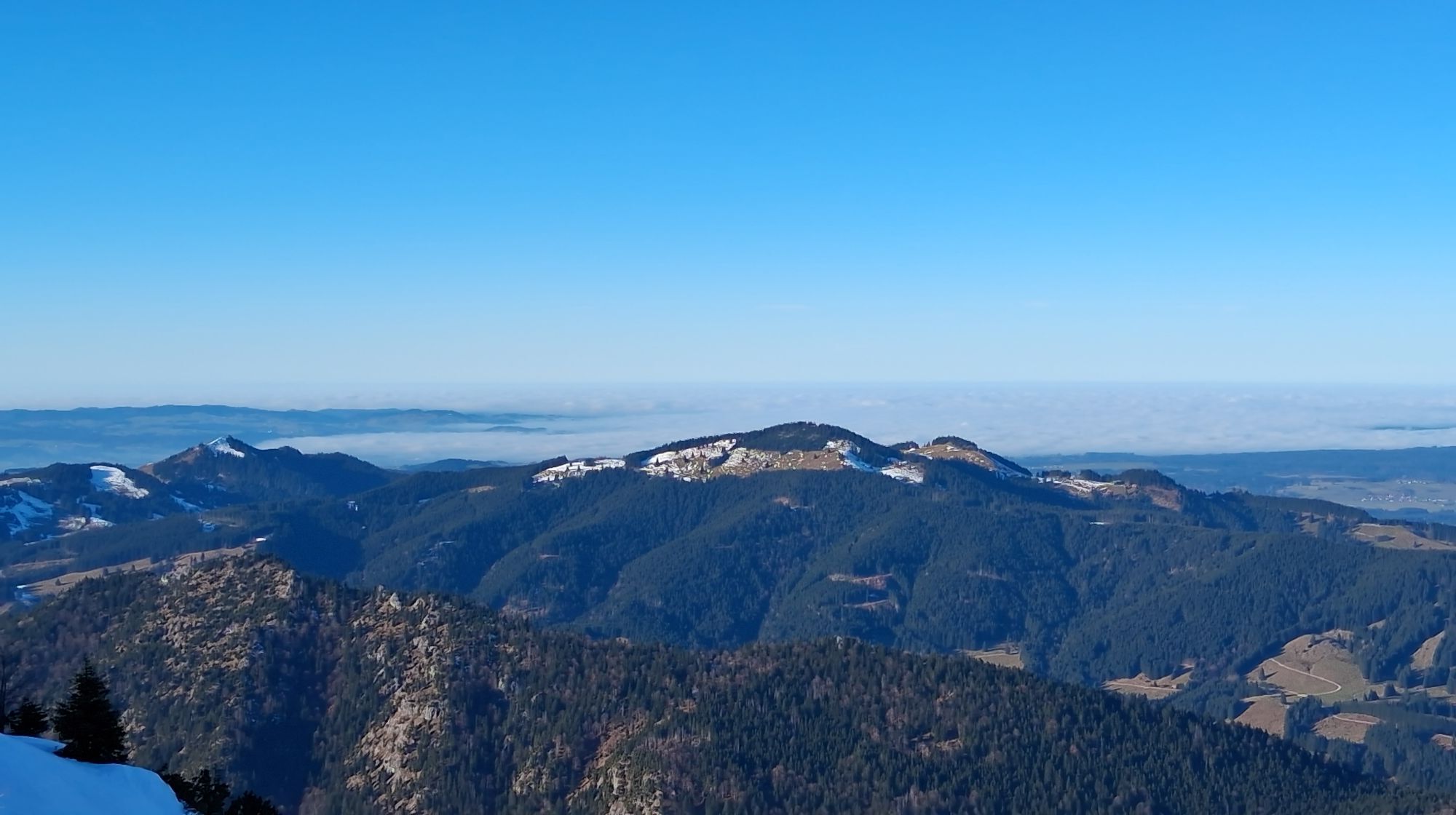
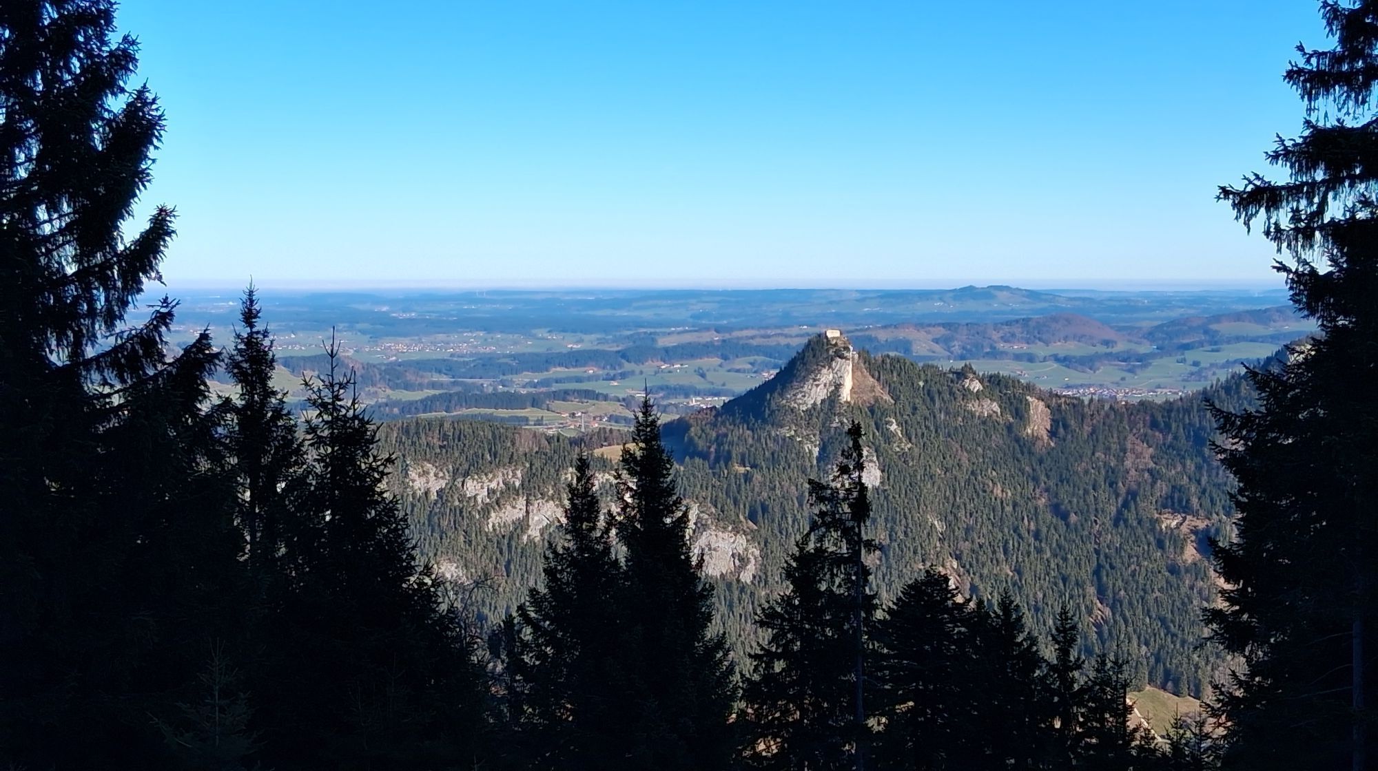
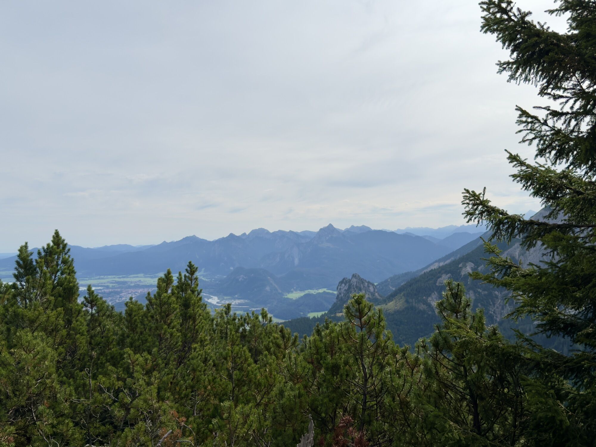
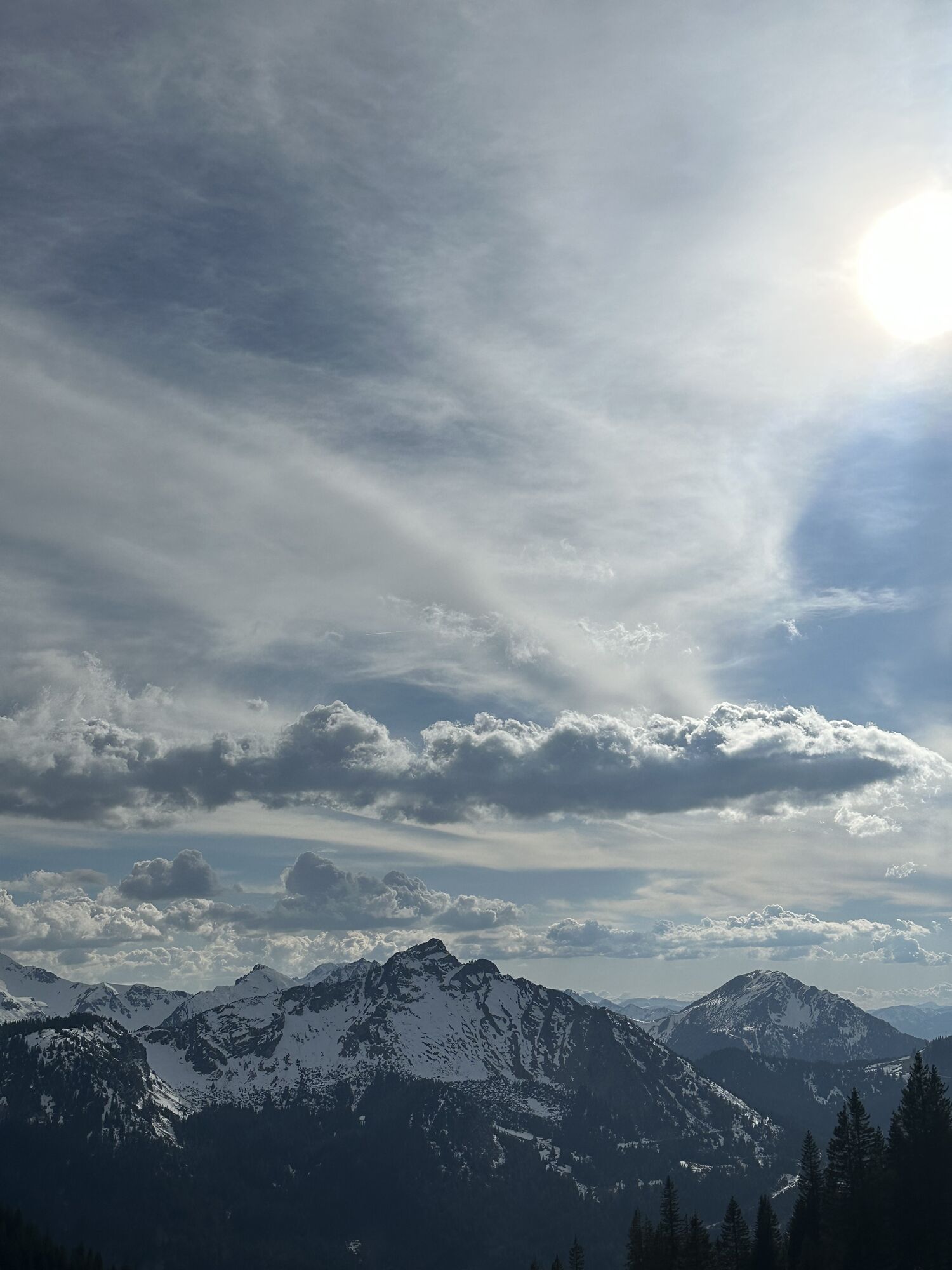
 © Matthias MarekUstvarjeno na 04.01.2025
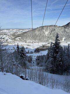 © Matthias MarekUstvarjeno na 04.01.2025
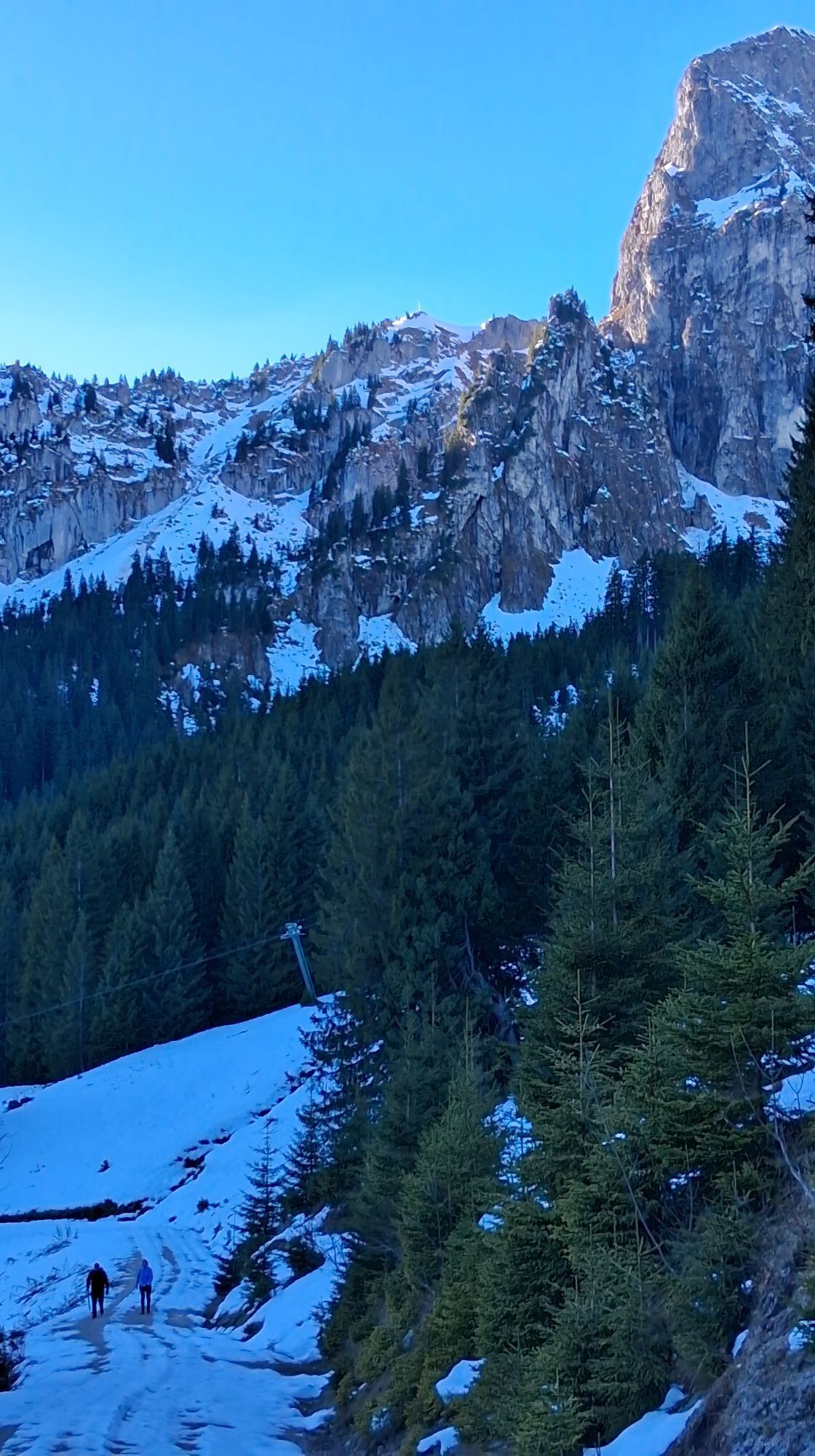
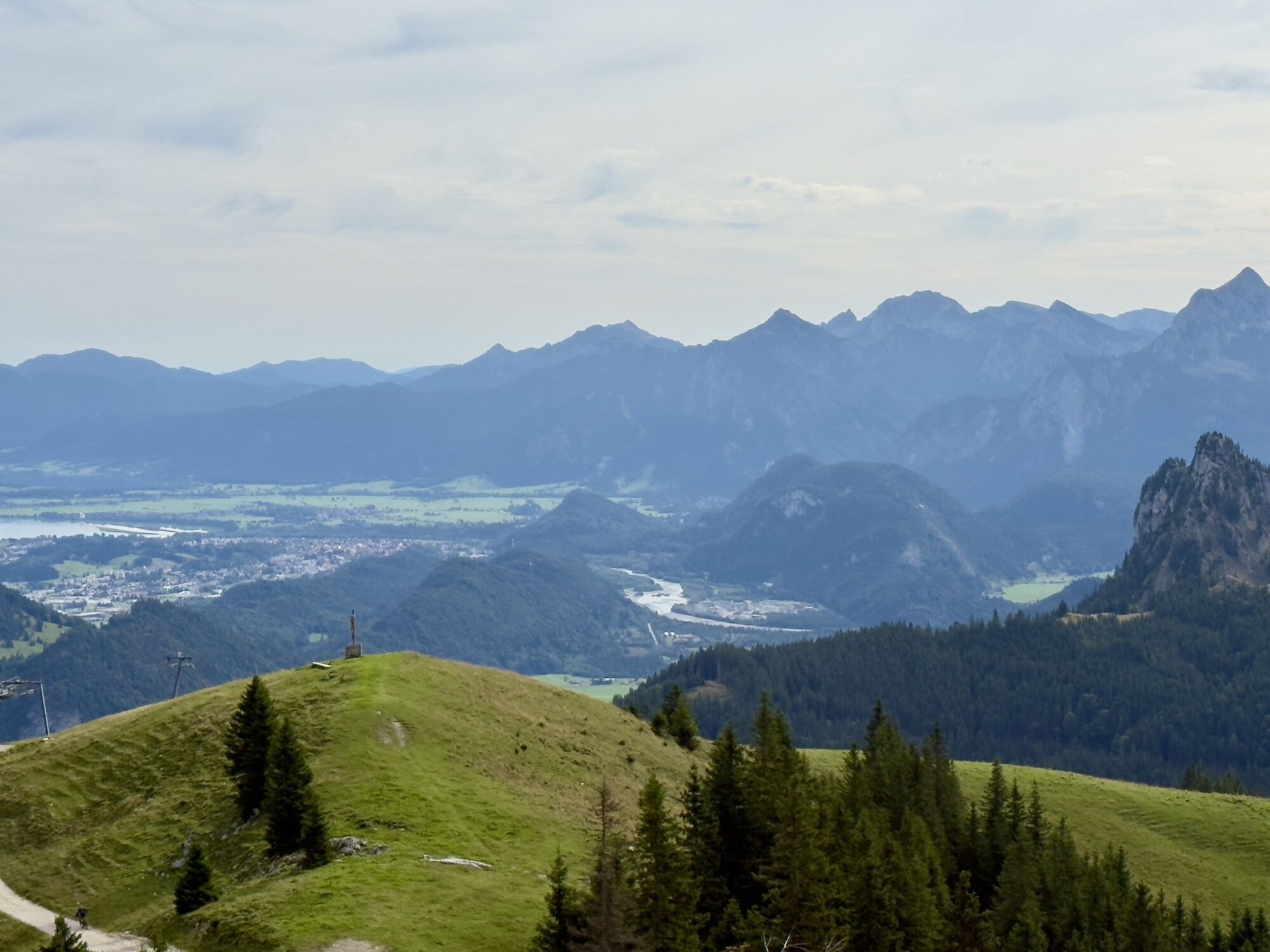
 © Leon PrinzUstvarjeno na 20.09.2024
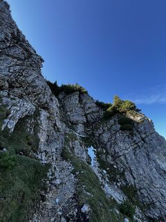 © Leon PrinzUstvarjeno na 20.09.2024
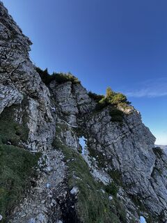 © Leon PrinzUstvarjeno na 20.09.2024
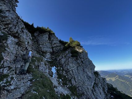 © Leon PrinzUstvarjeno na 20.09.2024


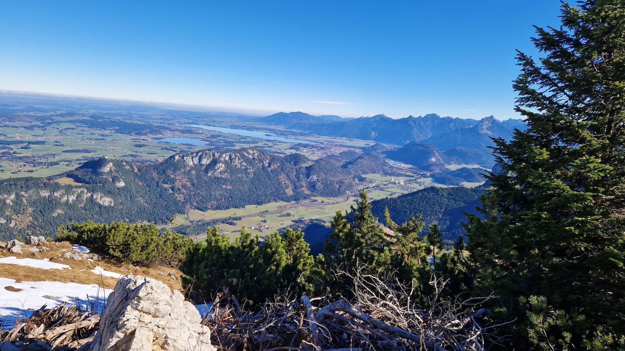
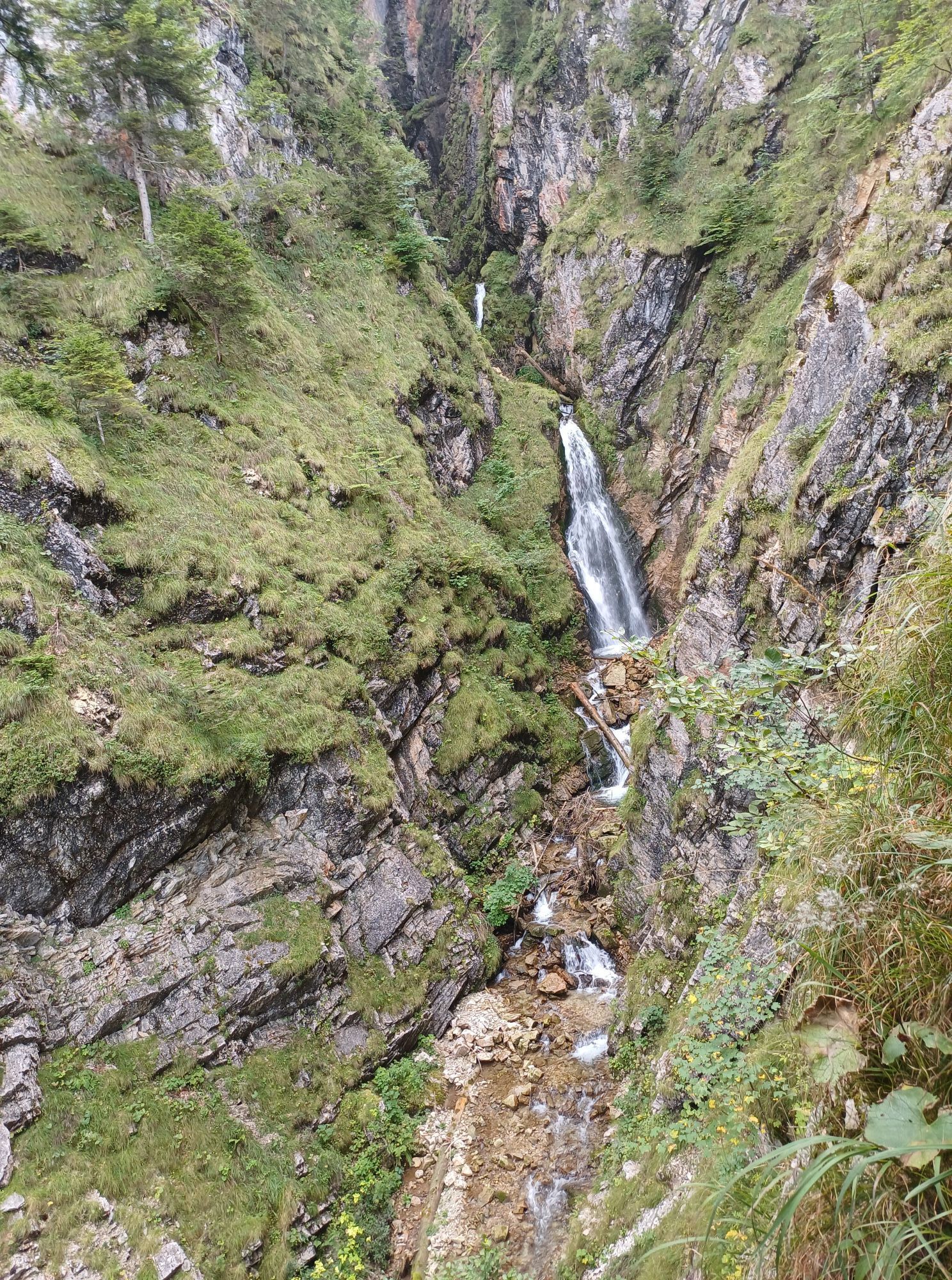


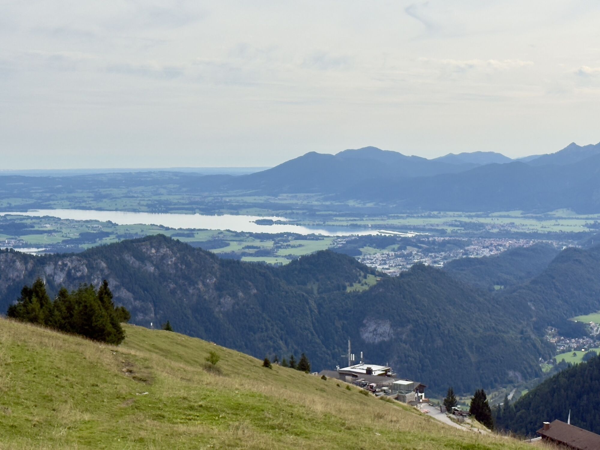

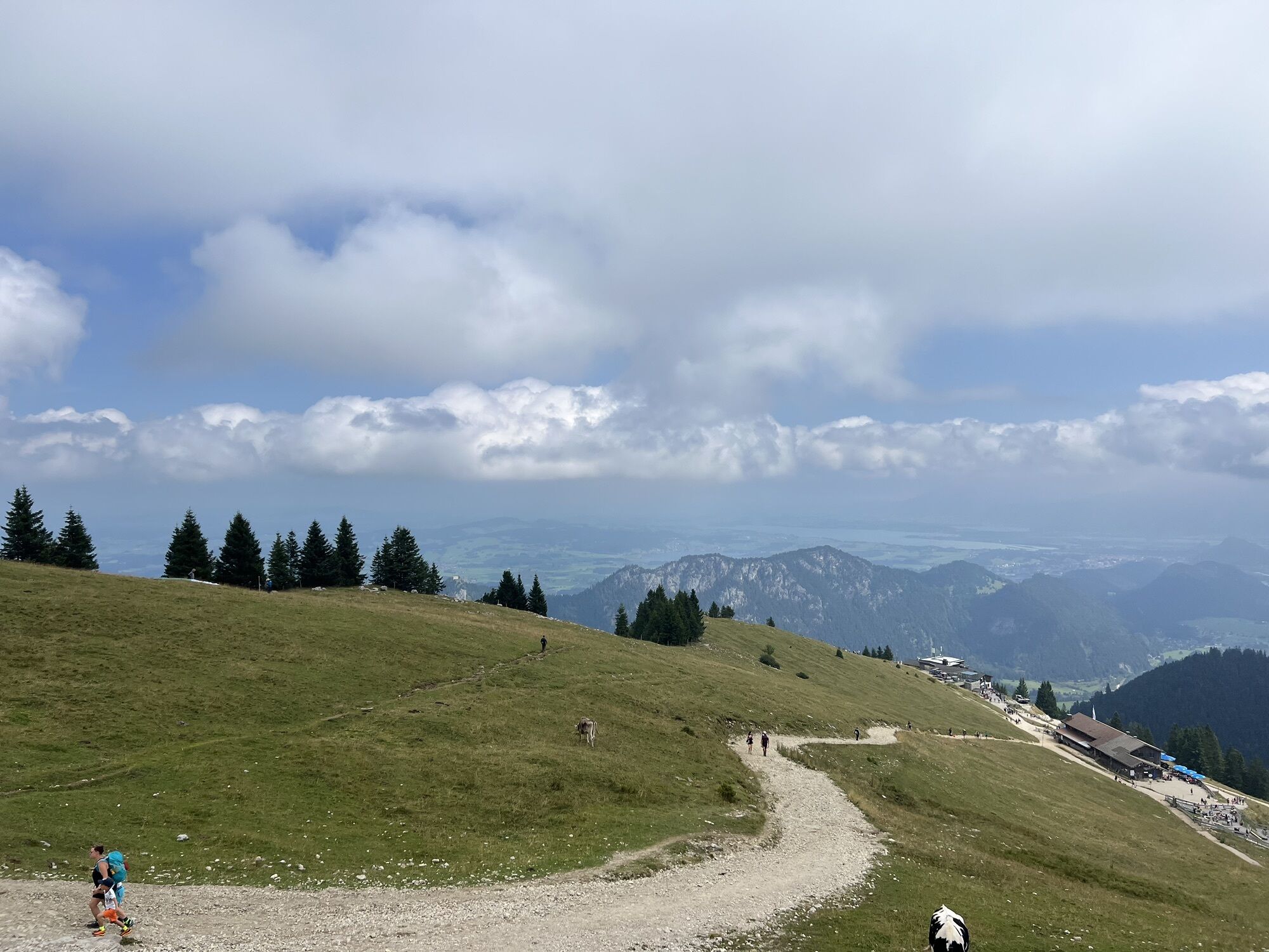

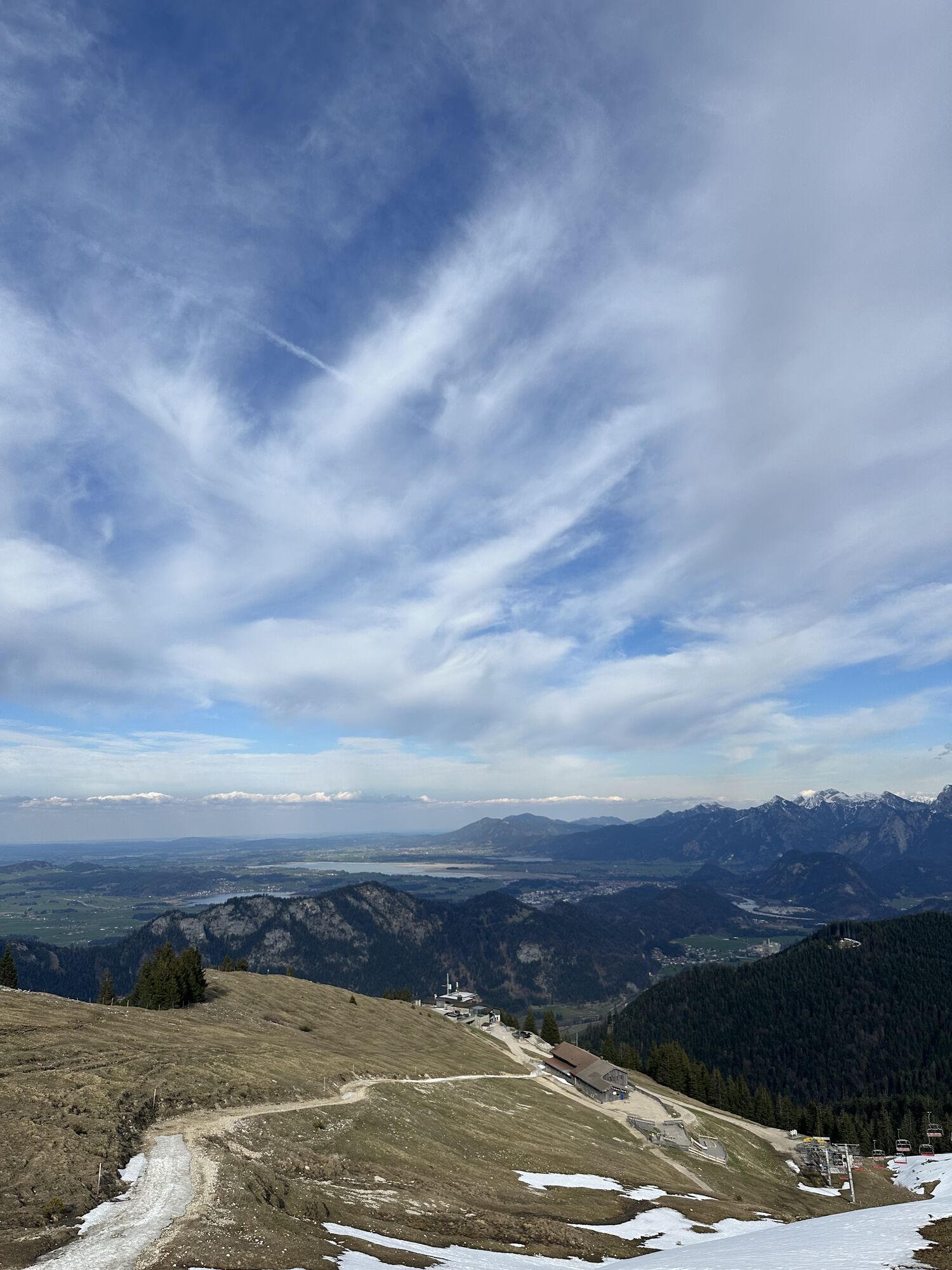


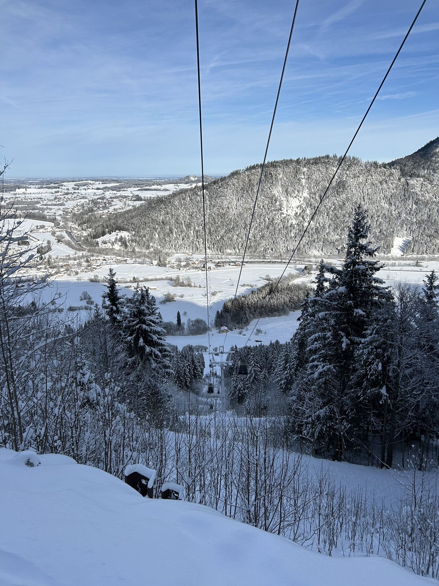


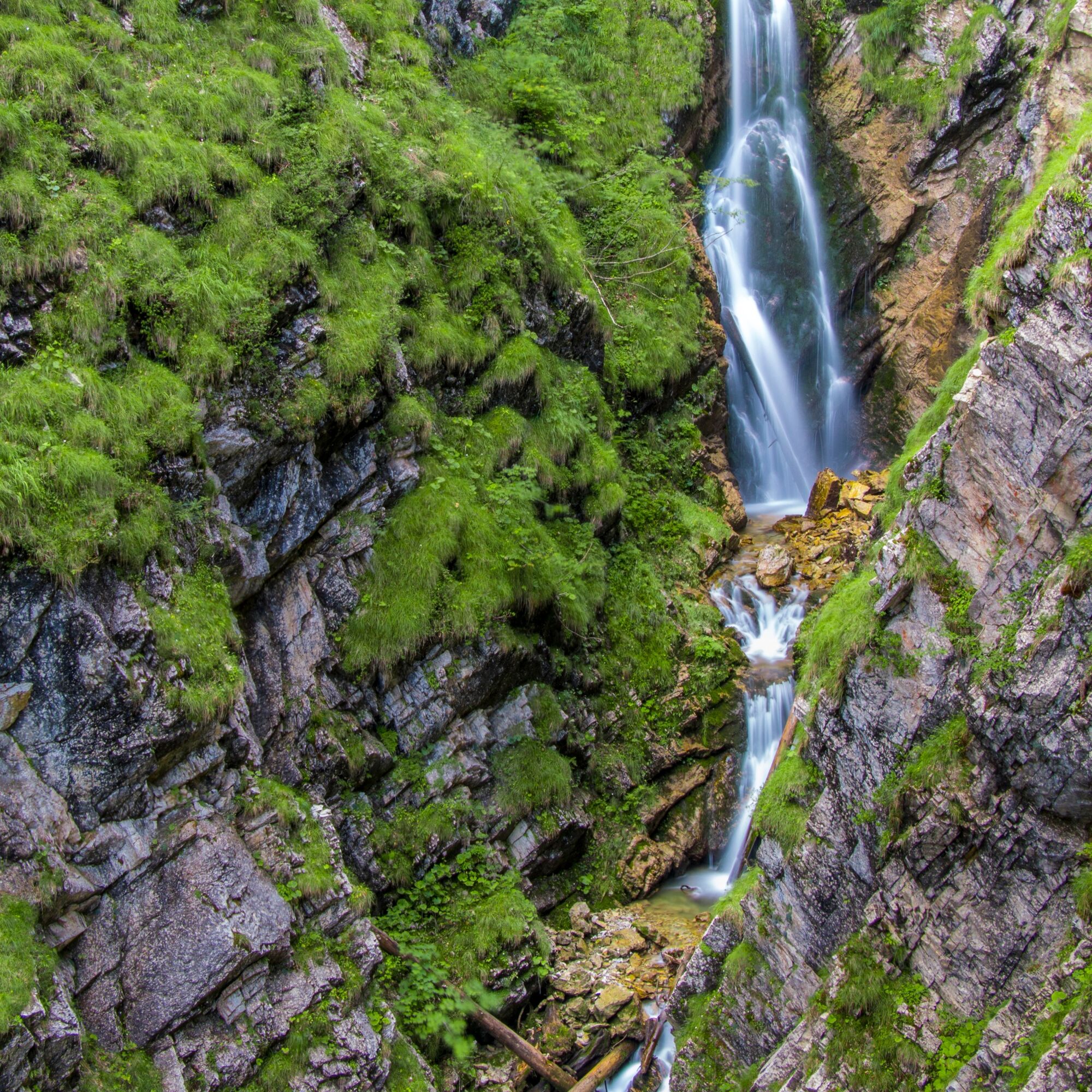
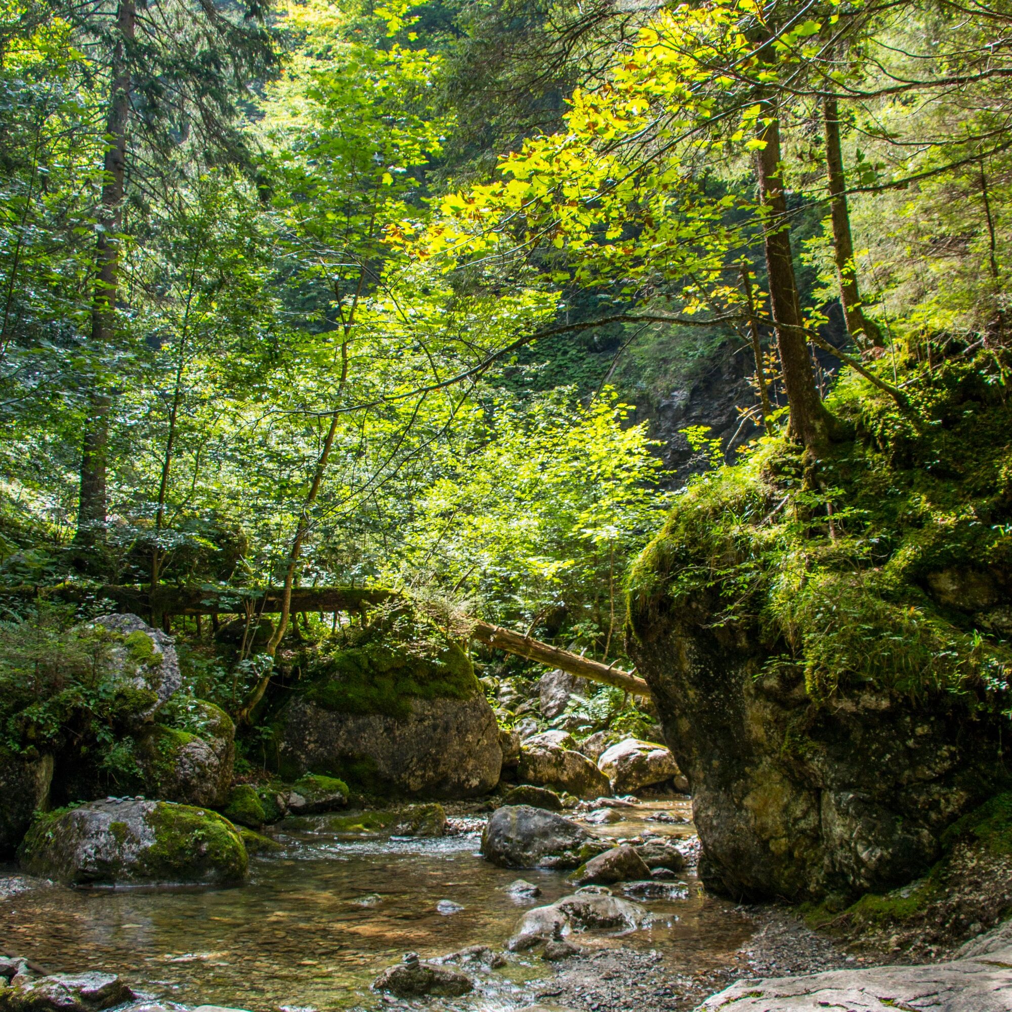
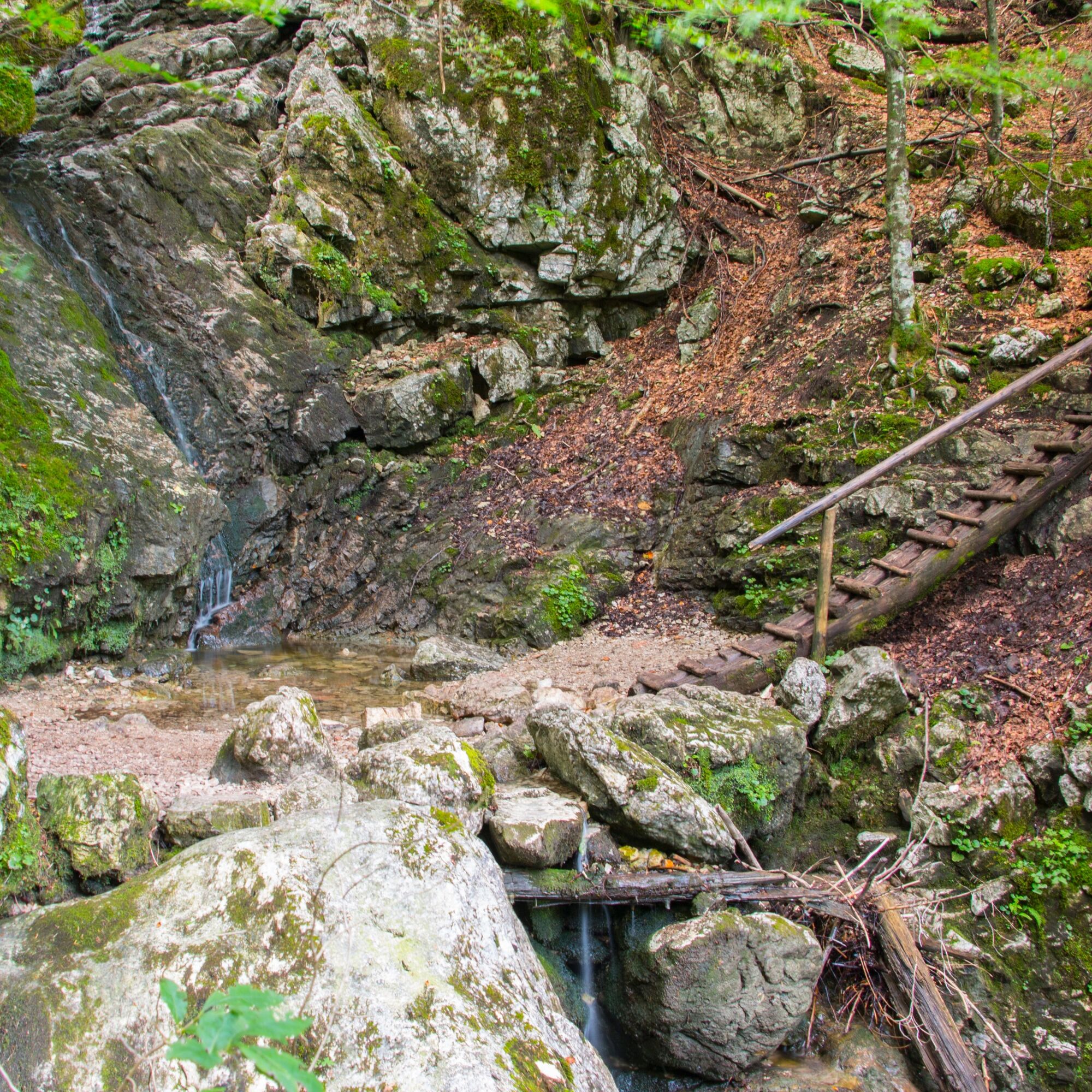
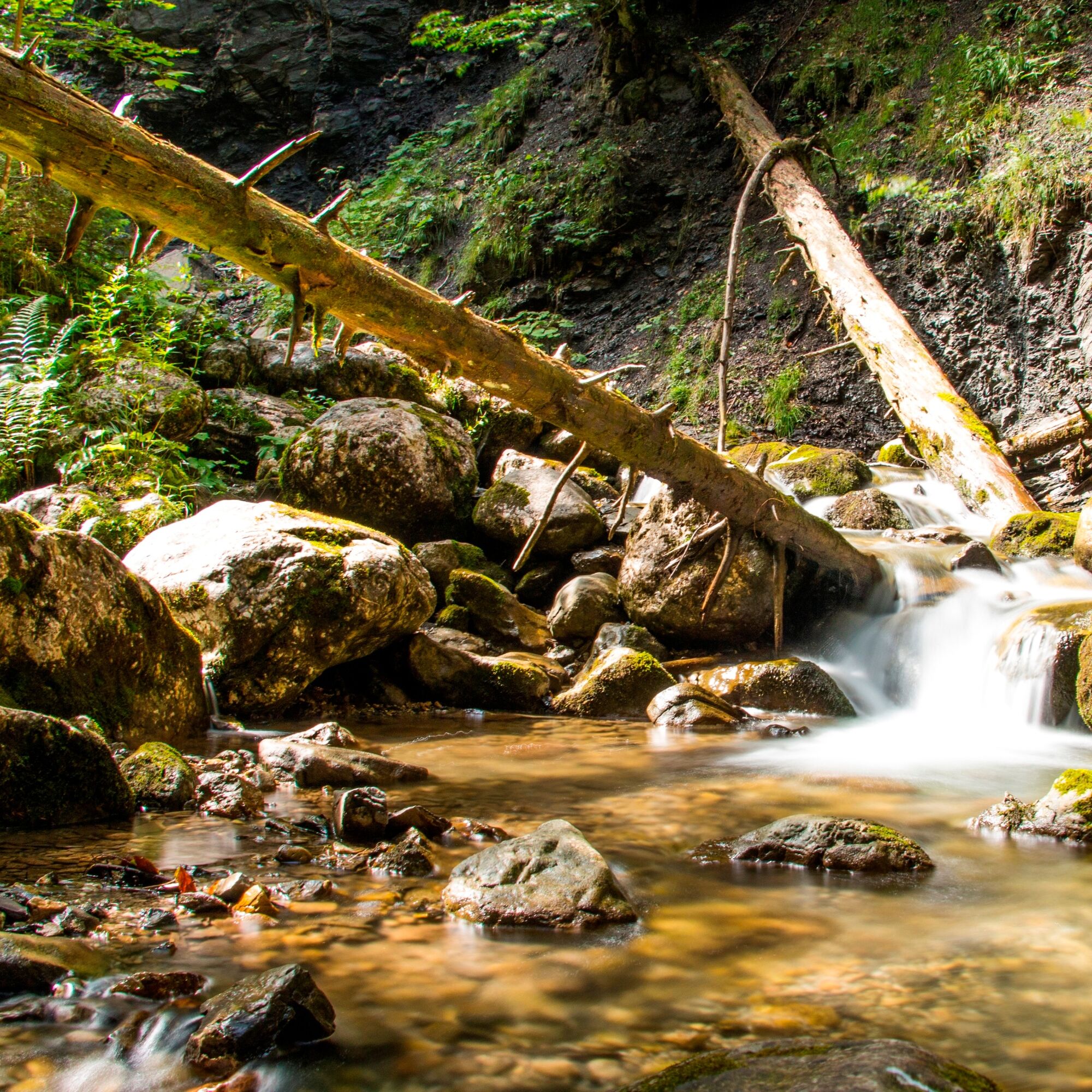
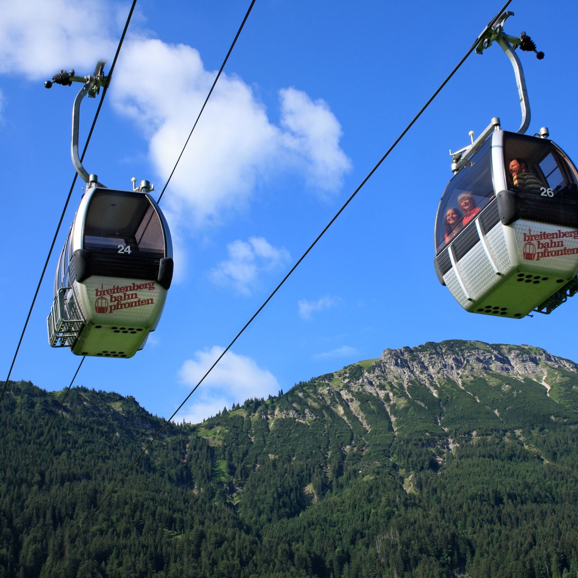
The hike starts at the valley station of the Breitenbergbahn in Pfronten-Steinach. The route goes through Reichenbachklamm (or via the Hochalp forestry road) to the mountain station of the Breitenbergbahn....
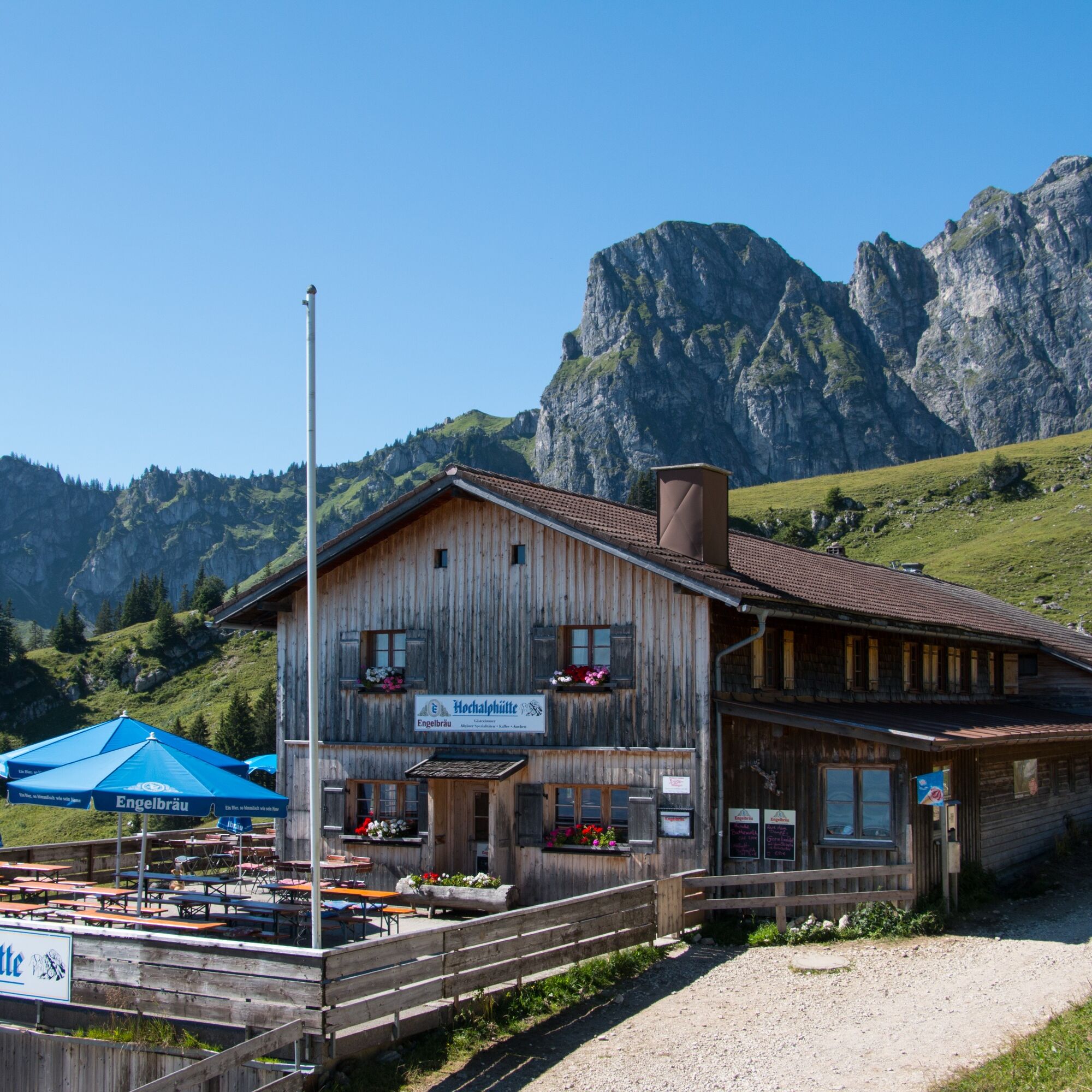
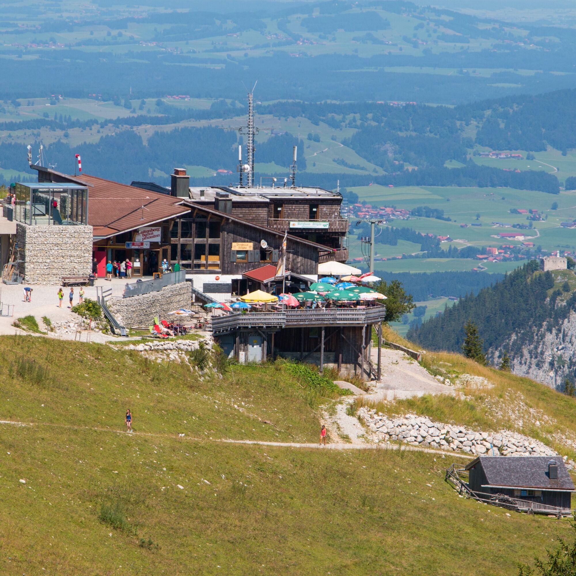
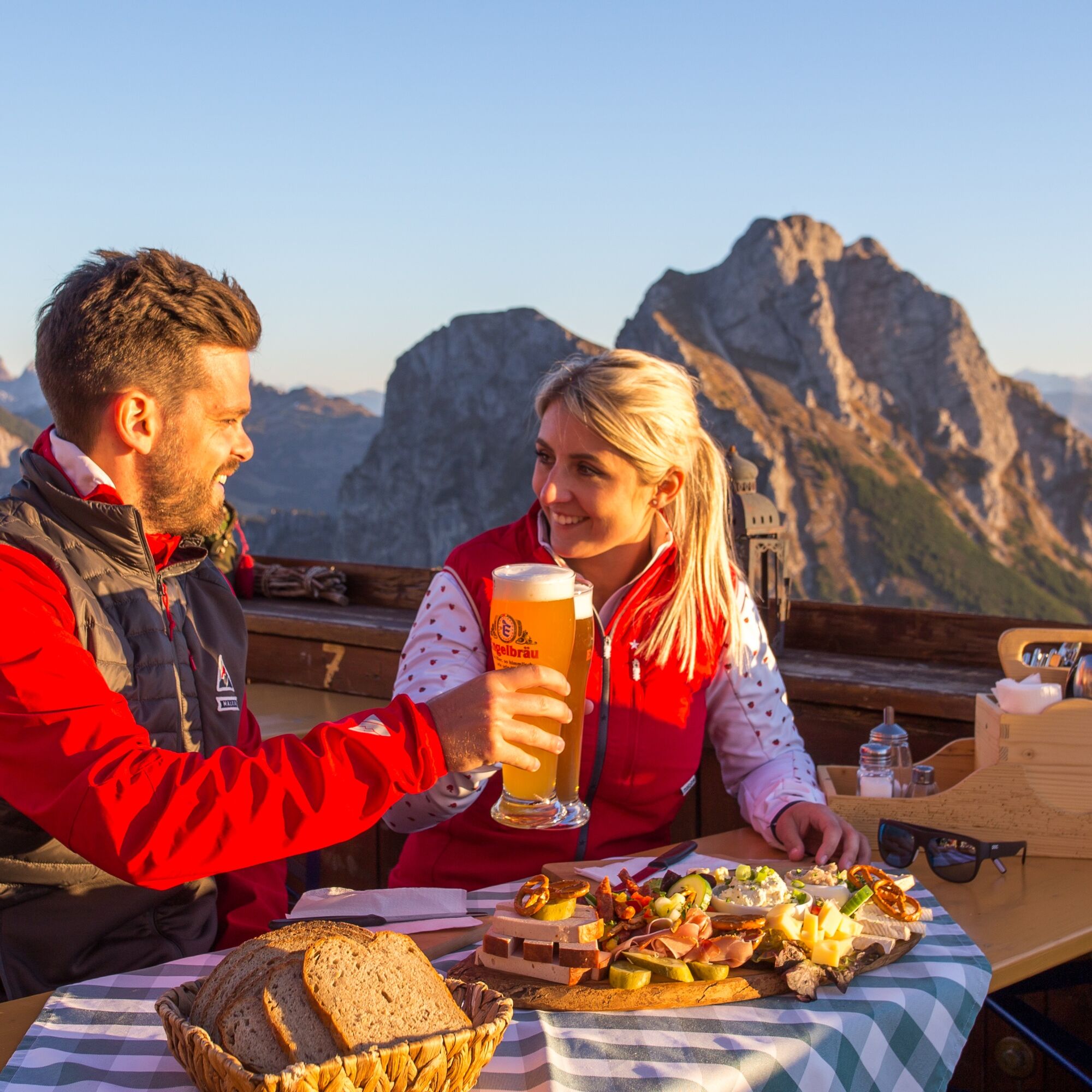
The hike starts at the valley station of the Breitenbergbahn in Pfronten-Steinach. The route goes through Reichenbachklamm (or via the Hochalp forestry road) to the mountain station of the Breitenbergbahn. There are several places to stop for refreshments on Breitenberg: Hochalphütte, Berghaus Allgäu at the mountain station of the Breitenbergbahn, and Ostlerhütte directly at the summit of Breitenberg.
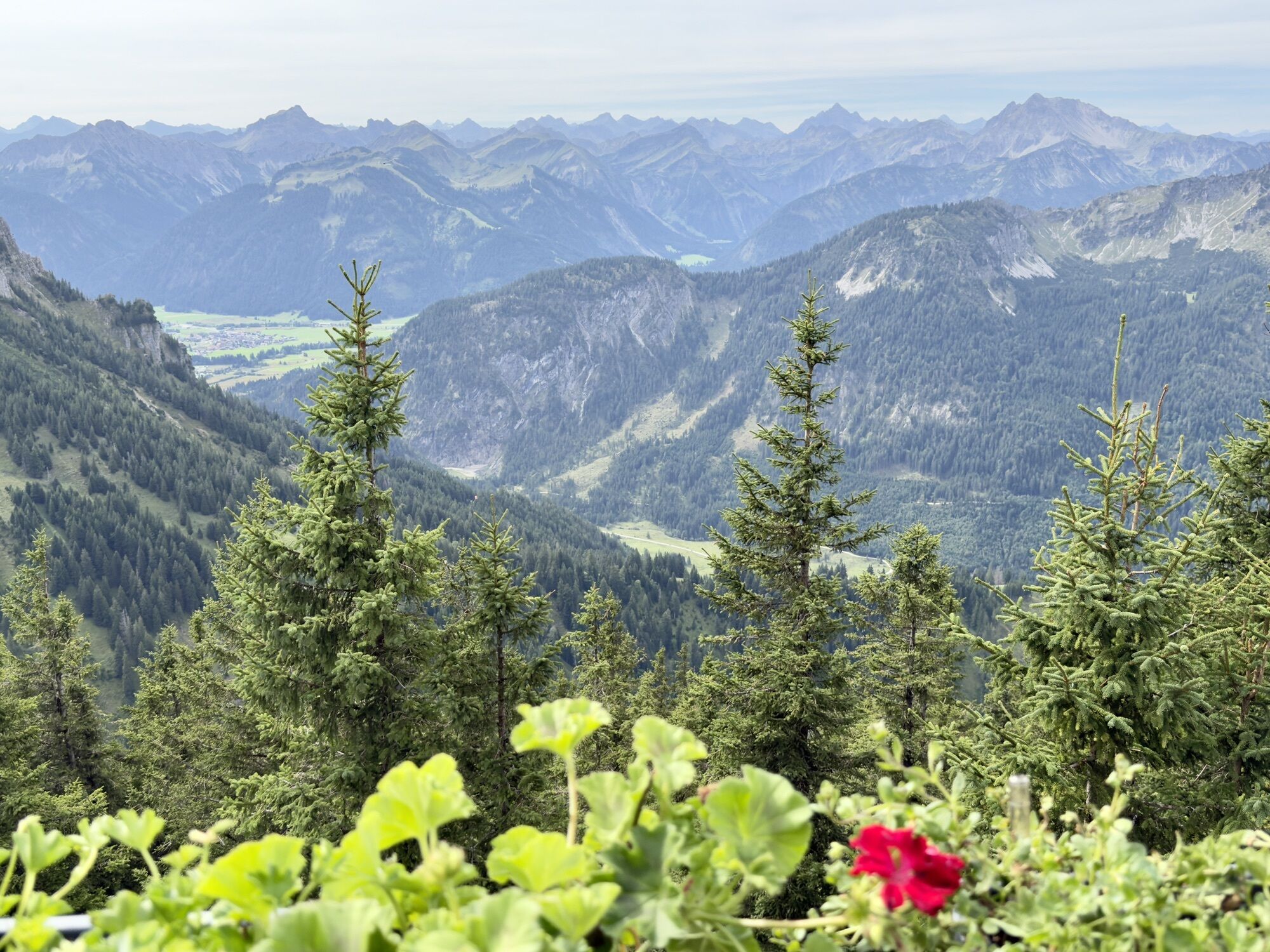
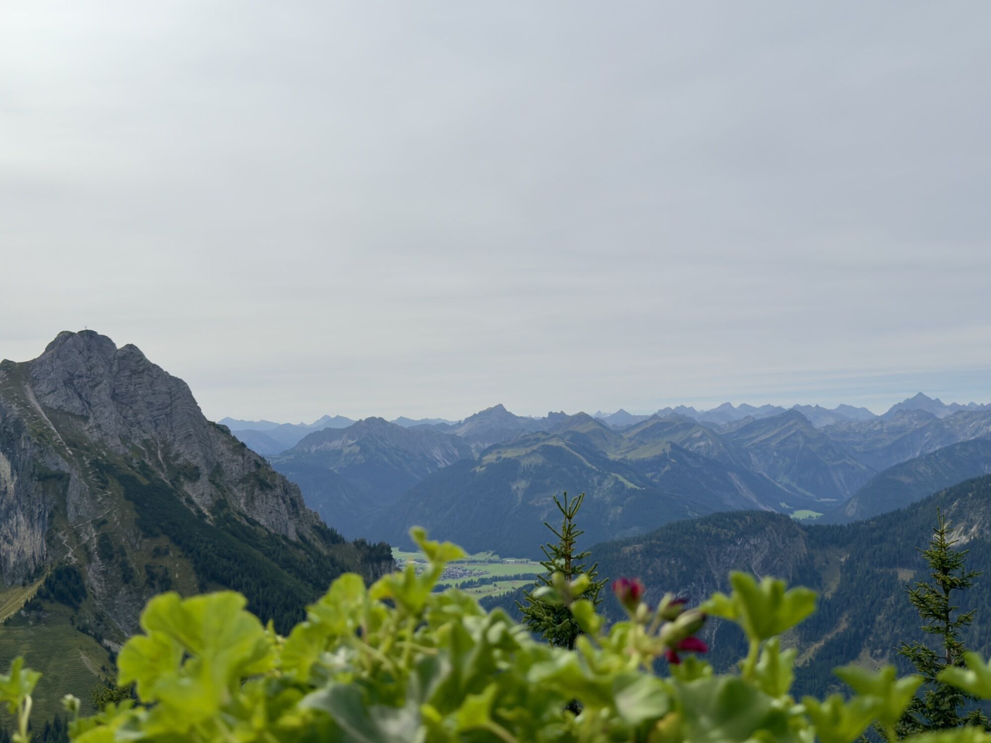
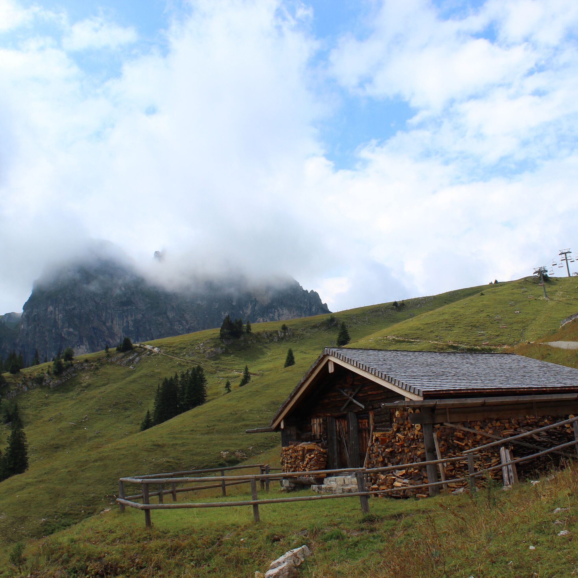
For the return journey, descend from Ostlerhütte following the same route to the mountain station of the Breitenbergbahn. Then, the trail leads back below the cable car to the starting point of the hike. Alternatively, from Breitenberg, you can descend to Fallmühle in Achtal. From there, it's an hour's walk along Steinacher Ach via Pfronten-Steinach back to the valley station of the Breitenbergbahn.


Da
Da
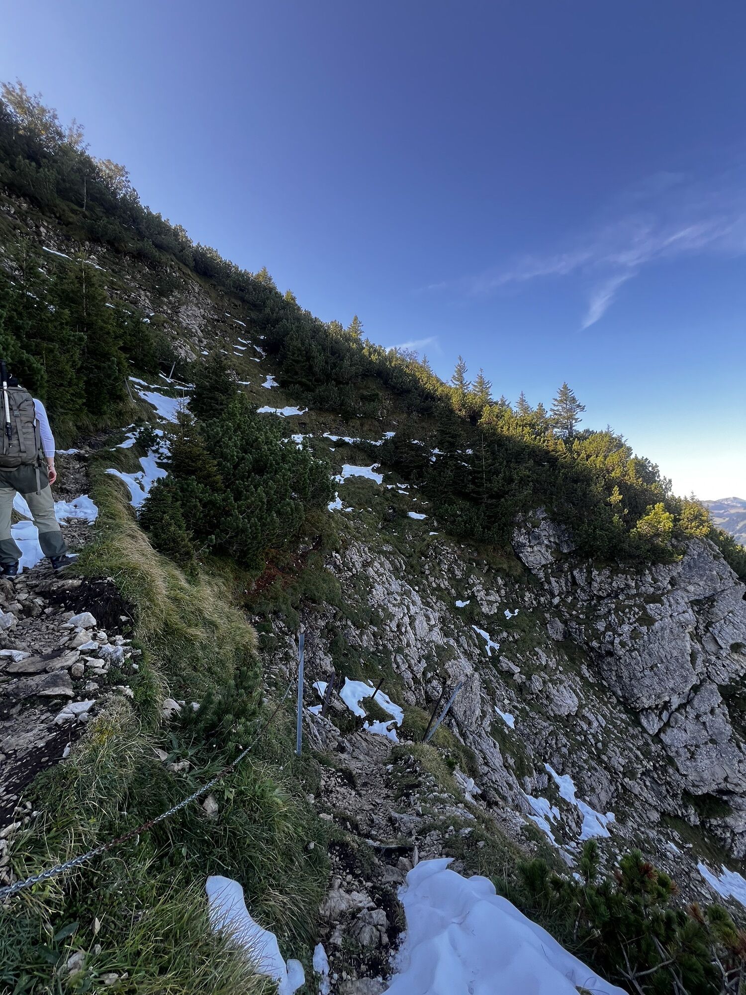
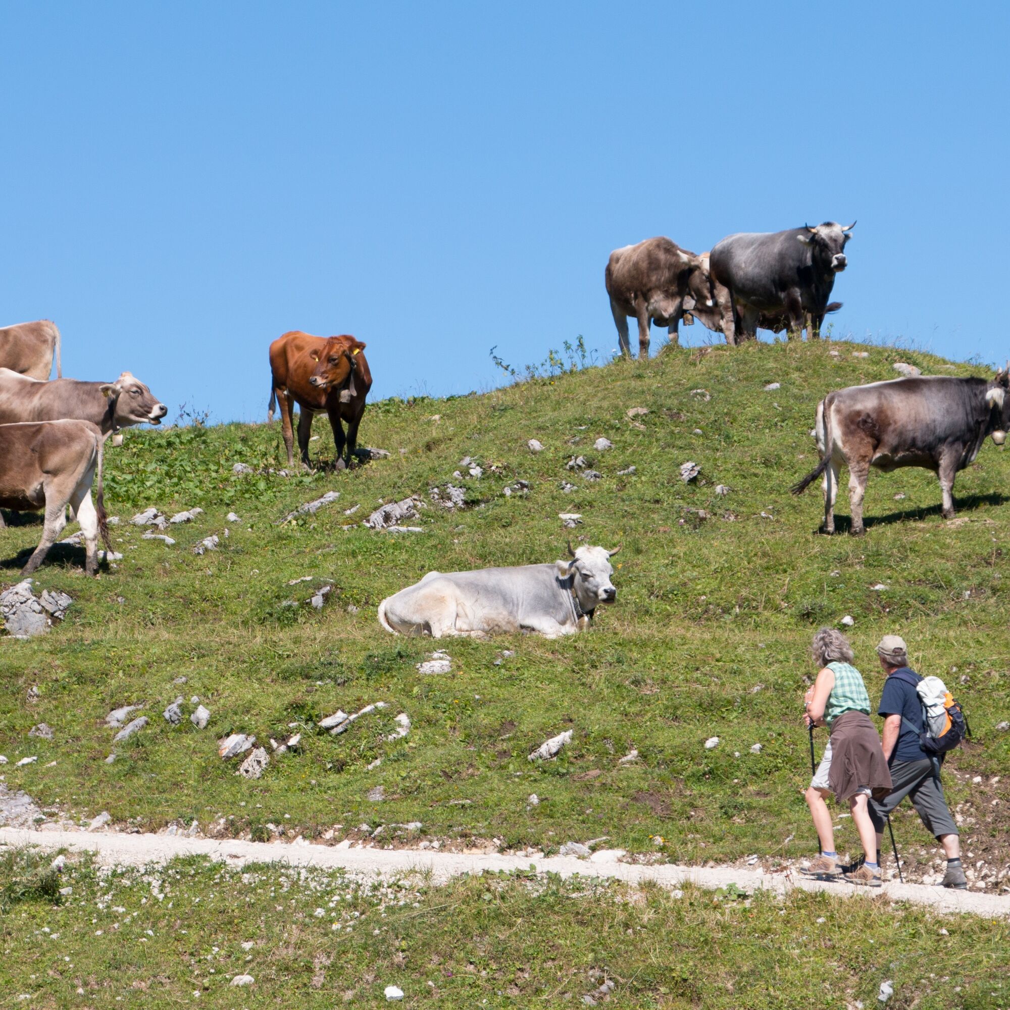
Sturdy hiking footwear is recommended.
B 309
Pfronten railroad line, public transport bus
There are plenty of parking spaces at the Breitenbergbahn valley station.
Be sure to plan a stop at the Ostlerhütte and enjoy the alpine panorama while relaxing in a deck chair.
Spletne kamere s turneje
Skizentrum Steinach / Pfronten
Breitenberg Bergstation
Kesselmoos und Hochalpbahn
Pfronten-Halden / Hotel Zugspitzblick
Pfronten - Boutique Hotel Blaue Burg Falkenstein
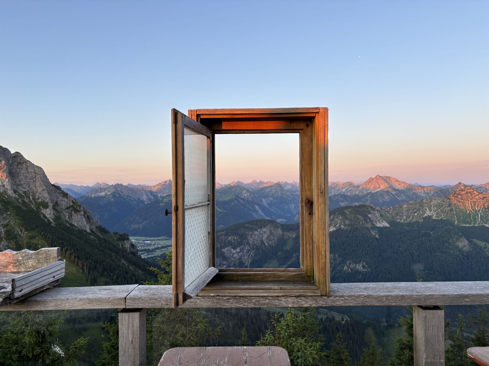
Pfronten - Ostlerhütte
Grän - Hotel Bergblick
Füssener Jöchle Bergstation
Füssener Jöchle Bergstation
Füssener Jöchle Bergstation
Füssener Jöchle Bergstation
Füssener Jöchle Bergstation
Füssen Appartementhotel Seespitz
Breitenbergbahn - Pfronten
Pfronten - Skizentrum
Füssener Jöchle Bergstation
Füssener Jöchle Bergstation
Dejavnosti na poti
Pfronten, Bayern/Deutschland
08.05.2026 – Pohodništvo
Pfronten, Bayern/Deutschland
01.05.2026 – Pohodništvo
Pfronten, Bayern/Deutschland
01.05.2026 – Gorski pohodništvoPfronten, Bayern/Deutschland
23.04.2026 – PohodništvoPfronten, Bavaria/Germany
09.04.2026 – Visokogorska tura
Pfronten, Bayern/Deutschland
05.04.2026 – Pohodništvo
Pfronten, Bayern/Deutschland
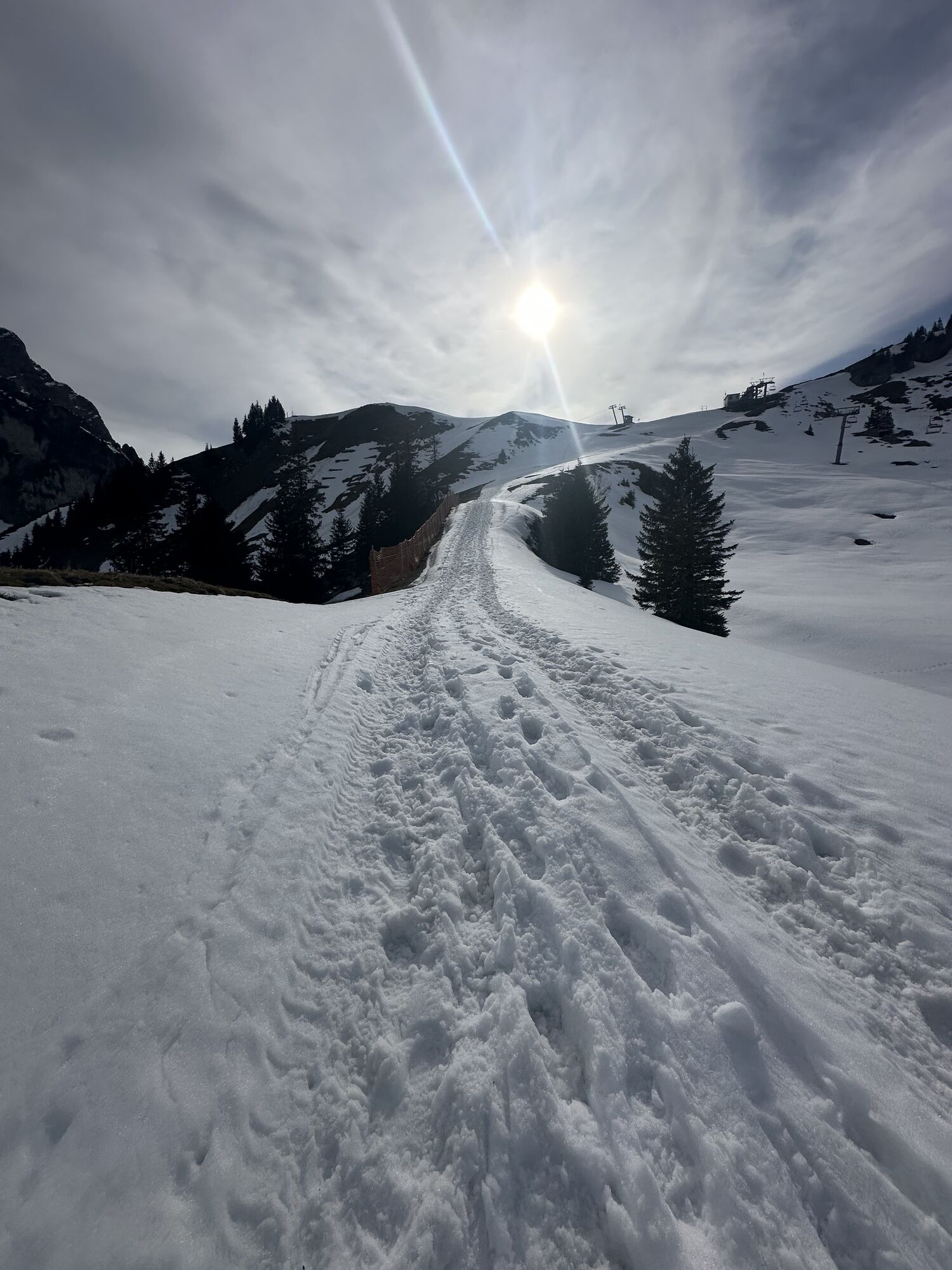
02.04.2026 – Zimsko pohodništvo
Pfronten, Bayern/Deutschland
13.03.2026 – PohodništvoBreitenberg Ostlerhütte
08.03.2026 – PohodništvoPfronten, Bayern/Deutschland
08.02.2026 – Zimsko pohodništvoPfronten, Bayern/Deutschland
07.02.2026 – Zimsko pohodništvoPfronten, Bayern/Deutschland
02.12.2025 – PohodništvoPfronten, Bayern/Deutschland
31.08.2025 – Pohodništvo
Priljubljeni izleti v okolici
- 4.8
Around Weißensee
svetlobaPohodništvo 6.12 km - 4.8
Tannheim / Vilsalpsee / Landsberger Hütte
srednjaPohodništvo 15.7 km - 5.0
Gemeinde Grän, Tirol/Österreich Aggenstein Rundtour über Höhenweg
srednjaPohodništvo 9.84 km - 4.7
3-Gipfel-Tour
srednjaPohodništvo 11.2 km - 4.2
Three-lake route (awarded the Tyrolean Hiking Trail Seal of Quality)
srednjaPohodništvo 14.8 km - 4.6
3-Seen Rundtour Vilsalpsee / Schrecksee / Traualpsee
srednjaPohodništvo 17.1 km - 4.9
Iseler und Kühgundkopf
srednjaPohodništvo 7.63 km - 4.9
Tegelberg | Branderschrofen | Neuschwanstein
srednjaPohodništvo 14.8 km - 4.4
Schloß Neuschwanstein und Schwanensee Schwangau, Bayern
srednjaPohodništvo 9 km - 4.4
Durchs Schneetal zum Hahnenkamm
srednjaPohodništvo 14.1 km
Pohodništvo in sledenje


Ne zamudite ponudb in navdiha za naslednje počitnice
Vaš e-poštni naslov je bil dodan na poštni seznam.