







Circular hiking route - No. 2 around Steinach - Thuringian Forest
From the shelter on the Hämmerer Ebene (630 m), we use the almost level forest path heading south and soon walk through the beautiful beech forest, winding across the Ranzengrund (nature reserve) and reach...
From the shelter on the Hämmerer Ebene (630 m), we use the almost level forest path heading south and soon walk through the beautiful beech forest, winding across the Ranzengrund (nature reserve) and reach an ascending path to the Schlossersgeräum, a meadow touched by our route.
After about 400 m, we encounter a forest road leading from the Tischplatte to Wiefelsburg. We follow it to the right and reach a mountain saddle.
In the midst of green meadows, we see on the right the small group of buildings belonging to Wiefelsburg, a former guesthouse. A small seating area invites you to rest here.
Heading south, the forest road now ascends, crosses a crossroads at about 650 m altitude, and continues toward Sonneberg.
We hike here on the "Hohe Straße," which crossed the slate mountains here centuries ago.
After about 1 km, we reach the Schustershieb. Here stands a memorial stone for the death march of concentration camp inmates in the final days of World War II.
From here we follow the road, which leads steadily downhill to the left through the Kuhgründlein, past the reclaimed spoil site of the city of Steinach into the Höll.
At the first houses, our "2" leads us from this lowest point of the circular route back up the hill to the left. But first, a stop at the inn "Zur Höll."
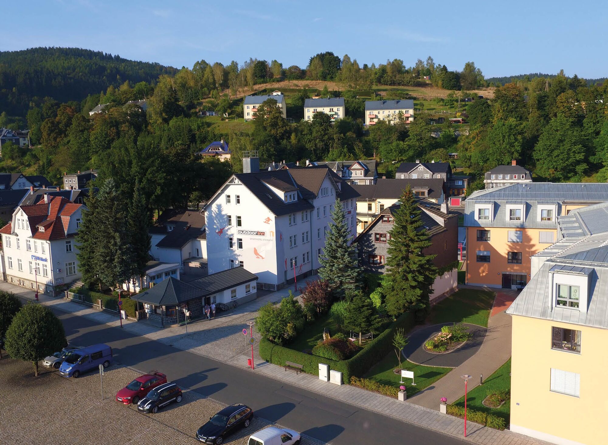
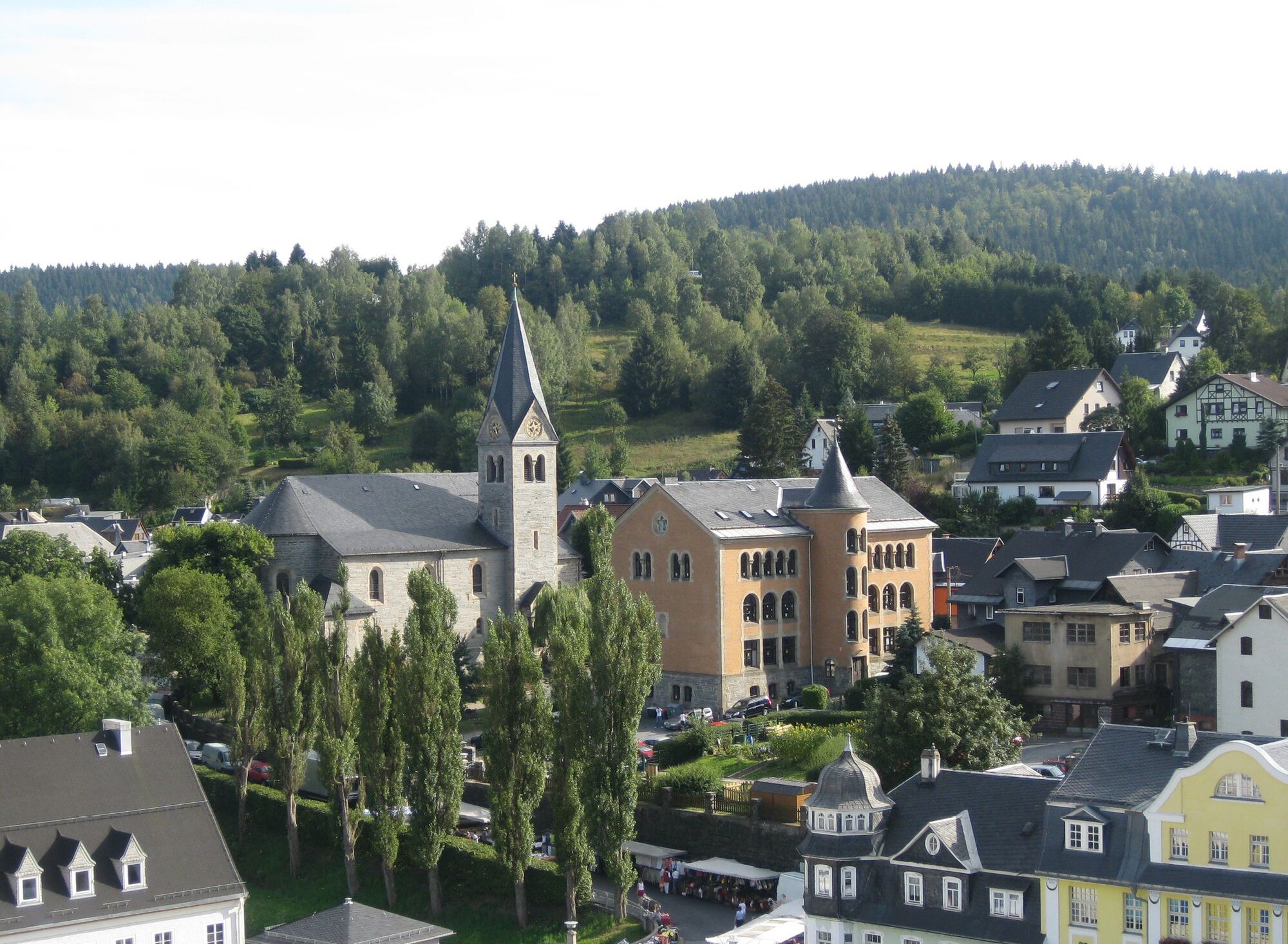
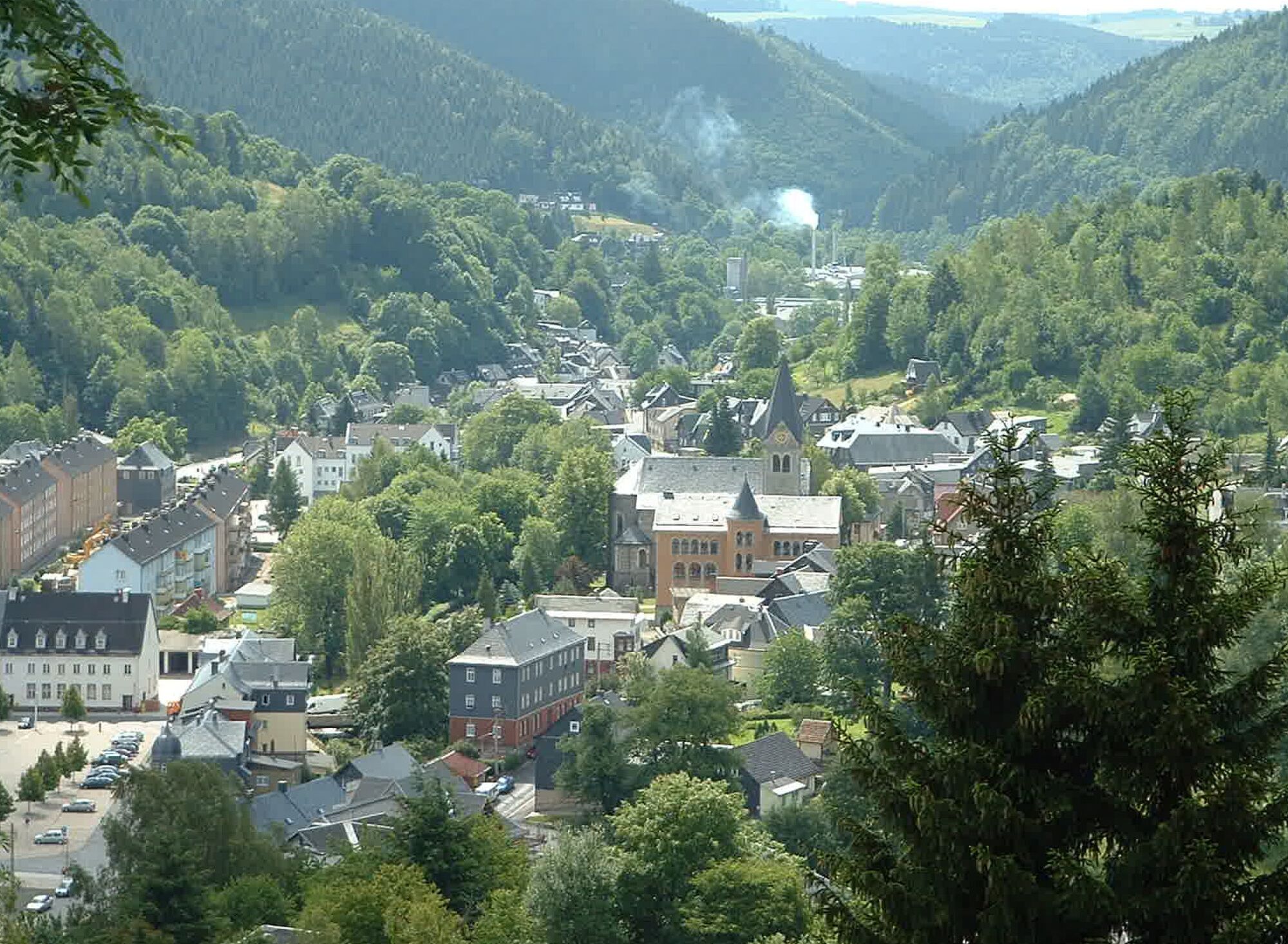
The climb through the Höll is strenuous, but after about 300 m, the path that branches to the right leads relatively level along the edge of the last gardens around the town, always with beautiful views over it to Fellberg, Tierberg, Vogelsberg, and Weinberg.
Shortly before an old whetstone quarry, our path now climbs more narrowly to the Hämmerer Hieb just behind the garden plots and joins the road to Mengersgereuth-Hämmern at about 575 m altitude. Ascending, we still have 400 m back to our starting point.

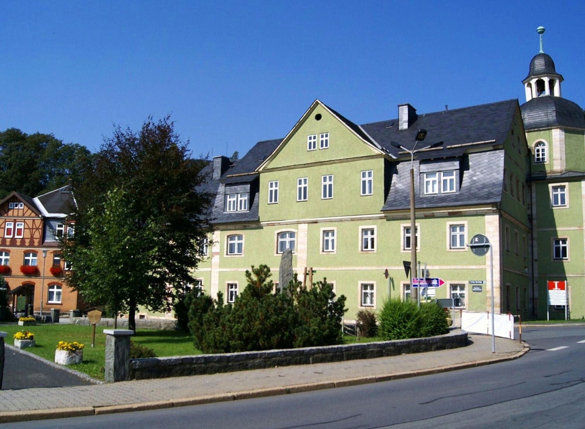
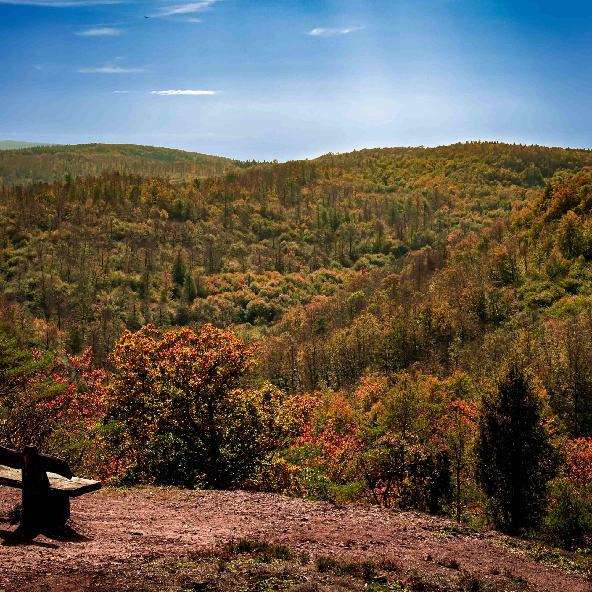

Hämmerer Straße - Hämmerer Ebene - Schustershieb - Kuhgründlein - Höll - Hämmerer Ebene
Da
Sturdy footwear
First aid kit
Drink supplies (especially at high temperatures)
GPS device or GPS-enabled smartphone with onboard map material
Please always be aware of dangers from logging and storm damage during your hike. Regularly look above you and always follow the instructions of the forestry personnel.
You will partly walk on narrow paths. Due to slipping hazards, avoid stepping on moss-covered stones and rocks and watch out for deadwood, branches, and fallen trees.
Coming from the A73, exit 5 Eisfeld Nord, continue on B281 toward Eisfeld. At the roundabout take the third exit onto B281 toward Neuhaus am Rennweg. In the town center of Steinheid, turn right onto L1148 toward Lauscha. At the junction, hold toward Steinach and follow L1148 into the center of Steinach.
You can reach Steinach by Deutsche Bahn trains.
Use the following link to the Deutsche Bahn travel portal for planning your trip:
Simply enter your starting point and desired travel period.
Hämmere Ebene (Google NAV point)
Pridobite vpogled
Vedno v živo na mestu z več kot 9.500 spletnimi kamerami. bergfex Kot uporabnik Pro si lahko zdaj ogledate ustrezne spletne kamere za številne izlete v aplikaciji izleti iz. Tako si lahko neposredno ogledate trenutne razmere.
Priljubljeni izleti v okolici
-
Circular route - "When Rennsteig meets the Schwarzatal panorama path" - Limbach
srednjaPohodništvo 9.68 km -
4.0
Circular hiking trail - TOP 2 - Masserberg - "Cultural Experience" - Friedrichshöhe - Thuringian Forest
srednjaPohodništvo 15.2 km -
Nature Park Trail - Griffel Path in the Thuringian Forest
težkoTematska pot 6.45 km -
Rundweg Muppberg Ne2
srednjaPohodništvo 3.46 km -
Circular Hike - "Schaumberger Land Panorama Trail" - Eisfeld - Thuringian Forest
težkoPohodništvo 74.2 km -
Circular hike - Glass and porcelain tradition on the Rennsteig - Spechtsbrunn
srednjaPohodništvo 13.4 km -
Long-distance hiking trail - Panoramaweg Schwarzatal - Thuringian Forest
težkoPohodništvo v daljavo 137.0 km -
Circular hike - "6-Kuppen-Steig" - Steinach - Thuringian Forest
srednjaPohodništvo 37.1 km -
Hike - Rennsteig - Stage 6 - From Friedrichshöhe to Spechtsbrunn
srednjaPohodništvo 23.0 km -
Circular hiking trail Bleßberg
težkoPohodništvo 12.9 km
Pohodništvo in sledenje


Ne zamudite ponudb in navdiha za naslednje počitnice
Vaš e-poštni naslov je bil dodan na poštni seznam.





