







Circular Hike - "Schaumberger Land Panorama Trail" - Eisfeld - Thuringian Forest

Stopnja težavnosti: T1
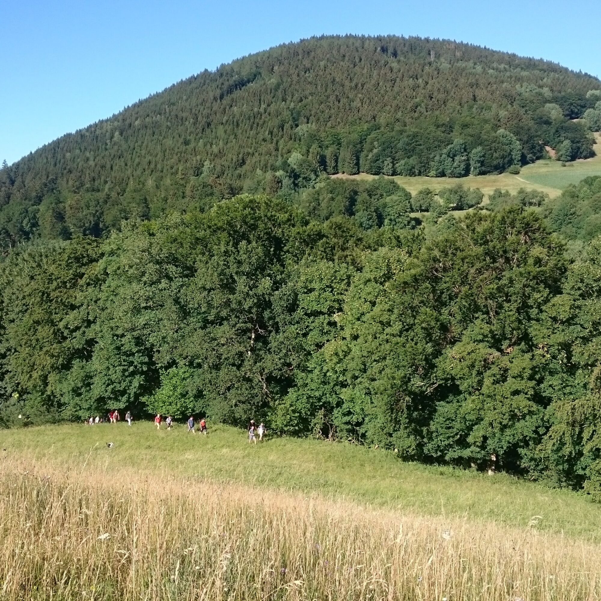
“The Land Before the Forest”—that’s what travelers affectionately called the “Schaumberger Land” when they left the rolling hills of Main-Franconia behind and saw the dense forests of the Hohe Schiefergebirge...
The Panoramaweg trail connects the Rennsteig region with the Coburg region. It passes through five Thuringian and two Bavarian municipalities. In between lies a landscape of lush green hills, romantic forests, and valleys that captivate with breathtaking views into the distance.
The
trail
is charming due to the variety of landscapes and offers many panoramic views: of the Coburg region, the Thuringian Forest, the Main Valley, and the Thuringian Slate Mountains.
Along the trail are numerous museums, romantic castle ruins, hidden caves, and many other attractions.
In the southern section of the route, hikers can discover many valuable biotopes along the “Grünes Band Thüringen” National Natural Monument, the former inner-German border. There are also two camping sites there.

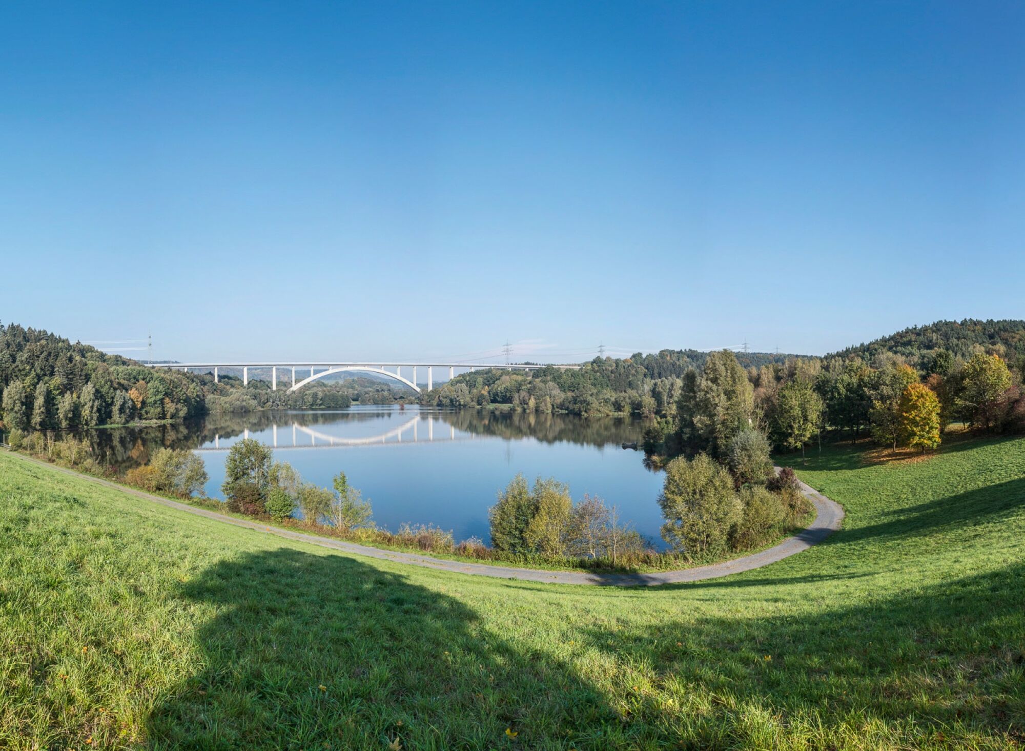
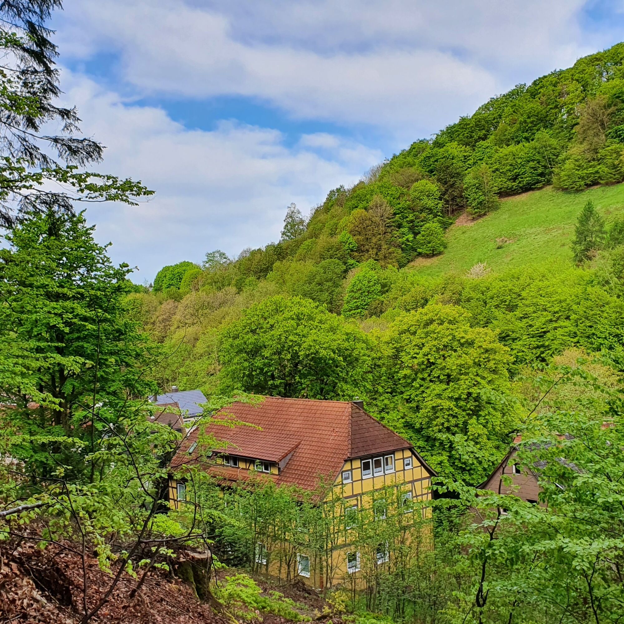
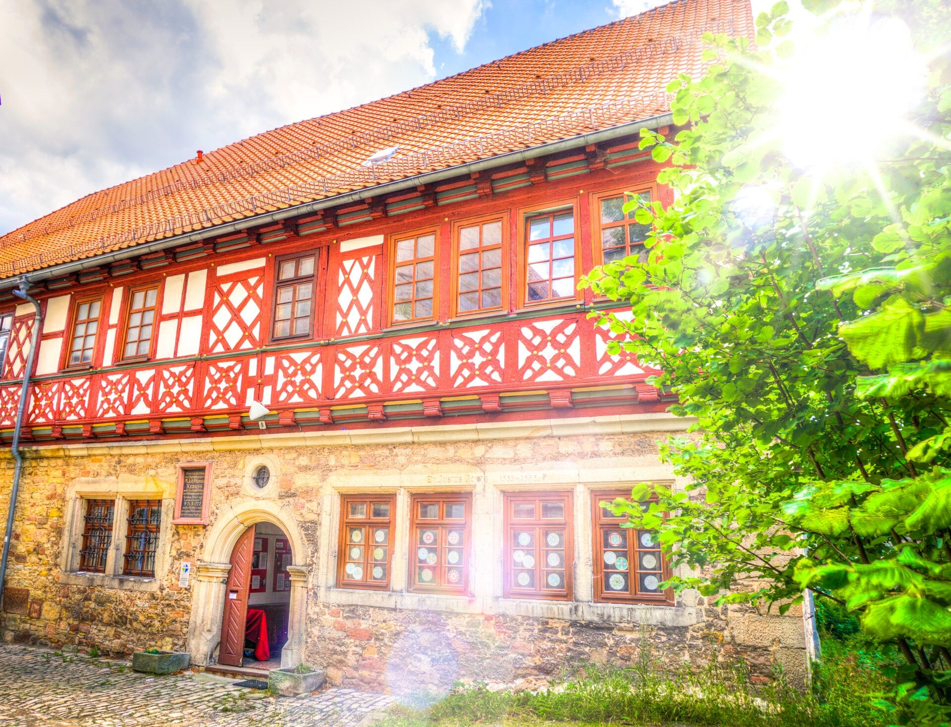
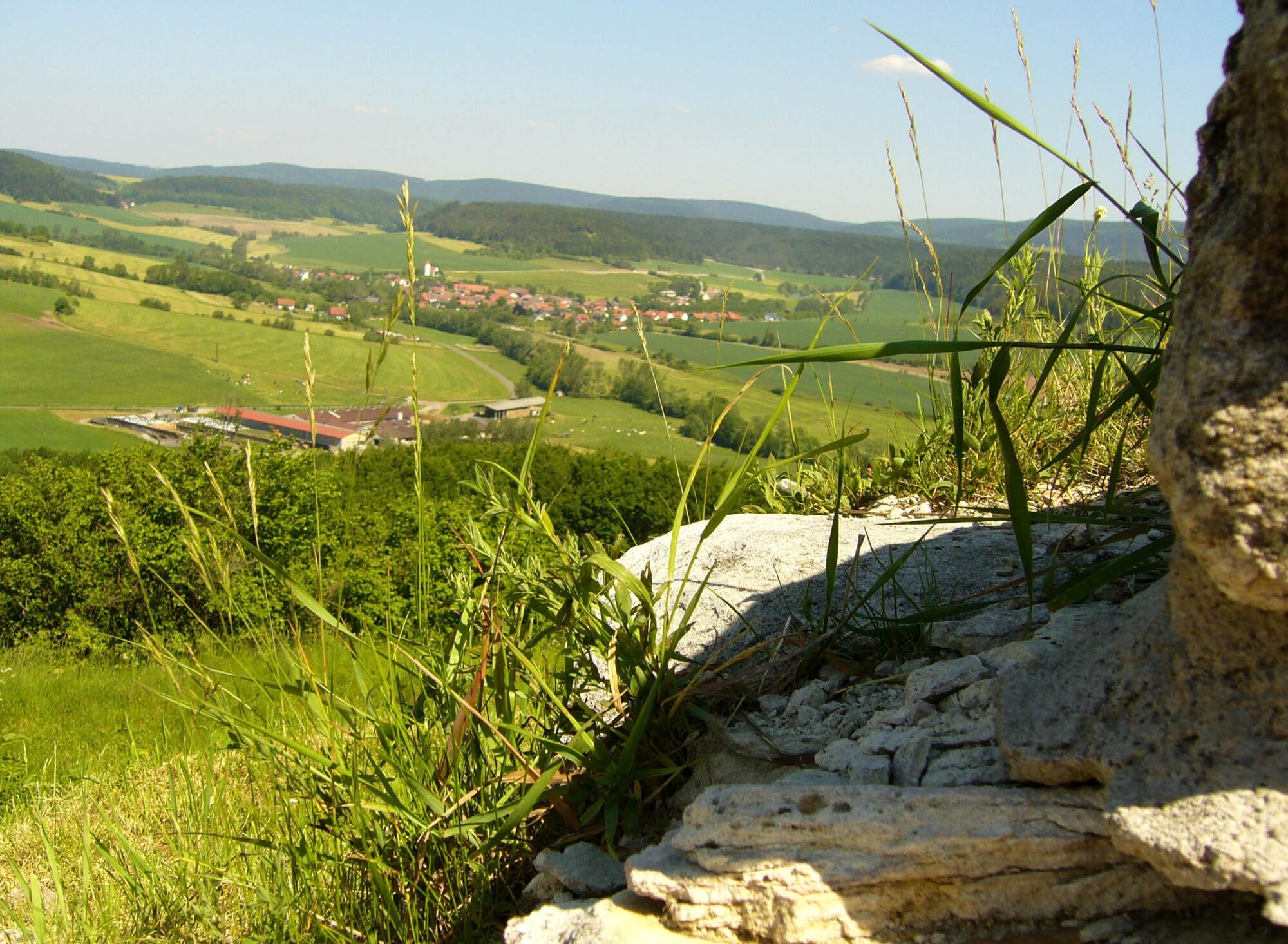
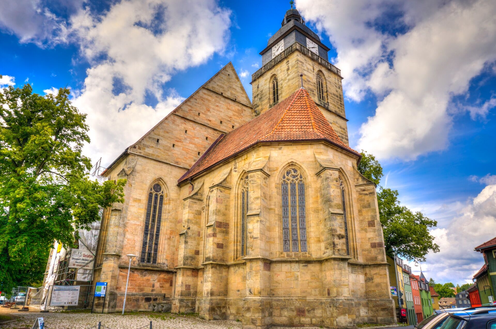
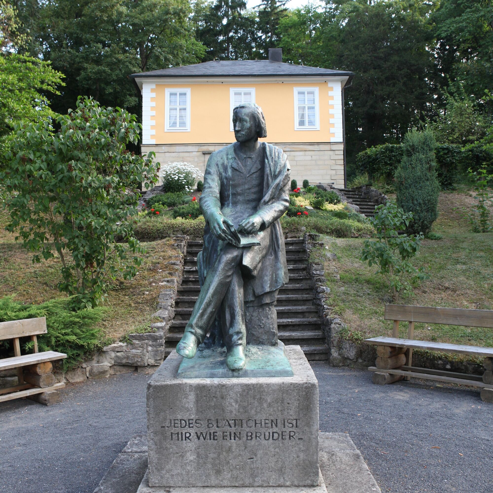
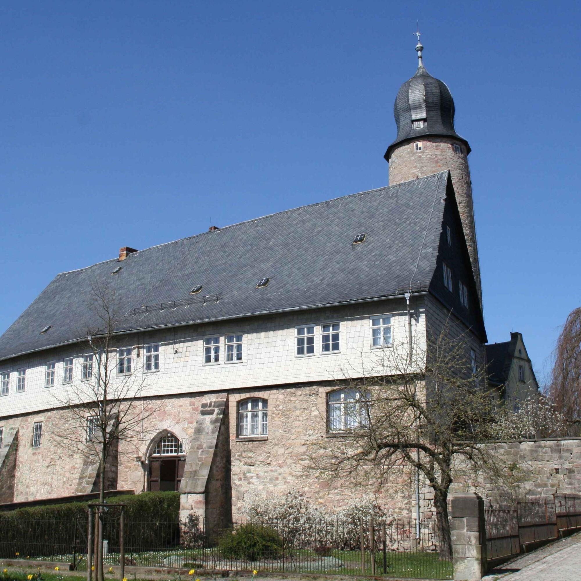
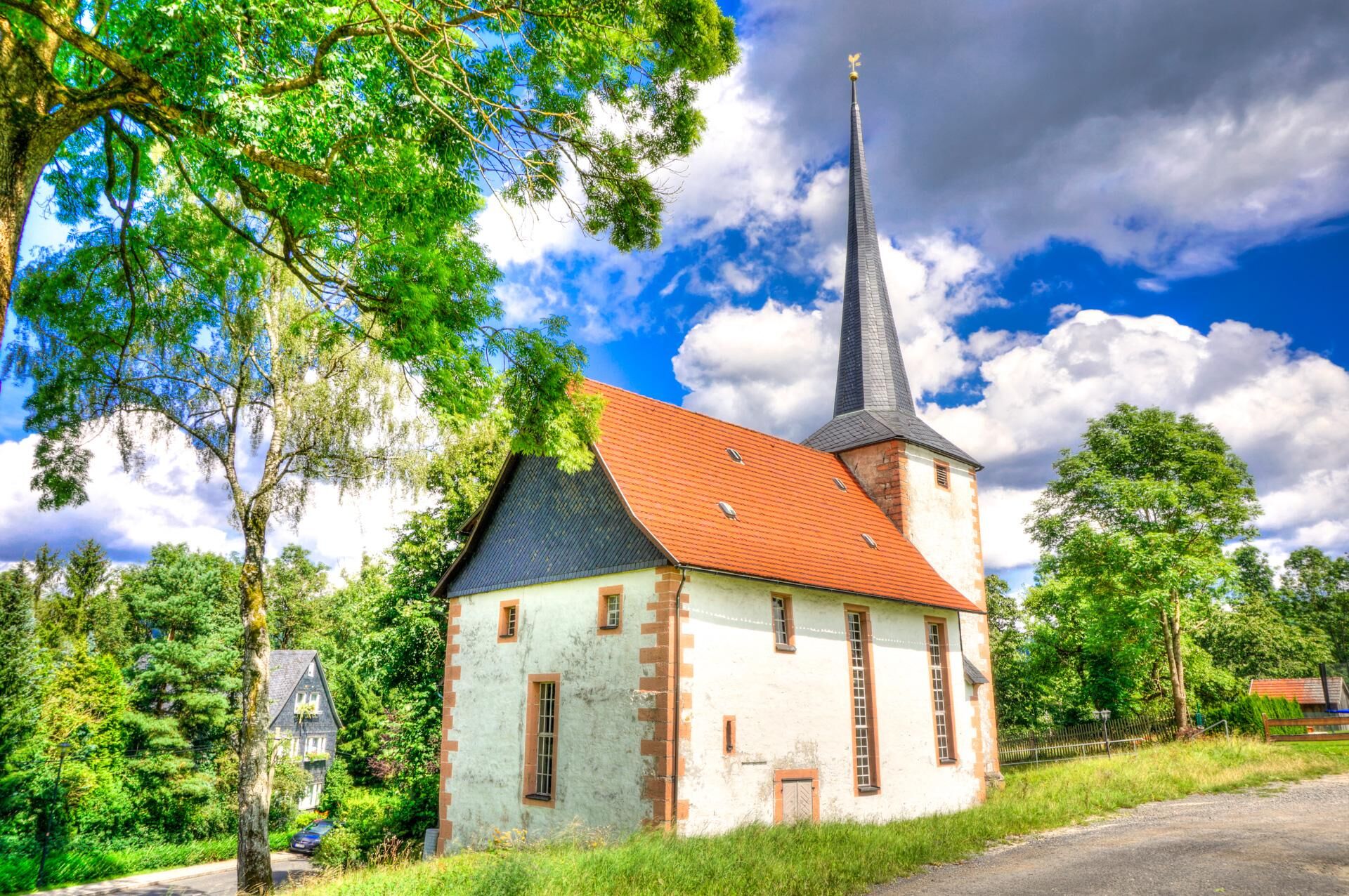
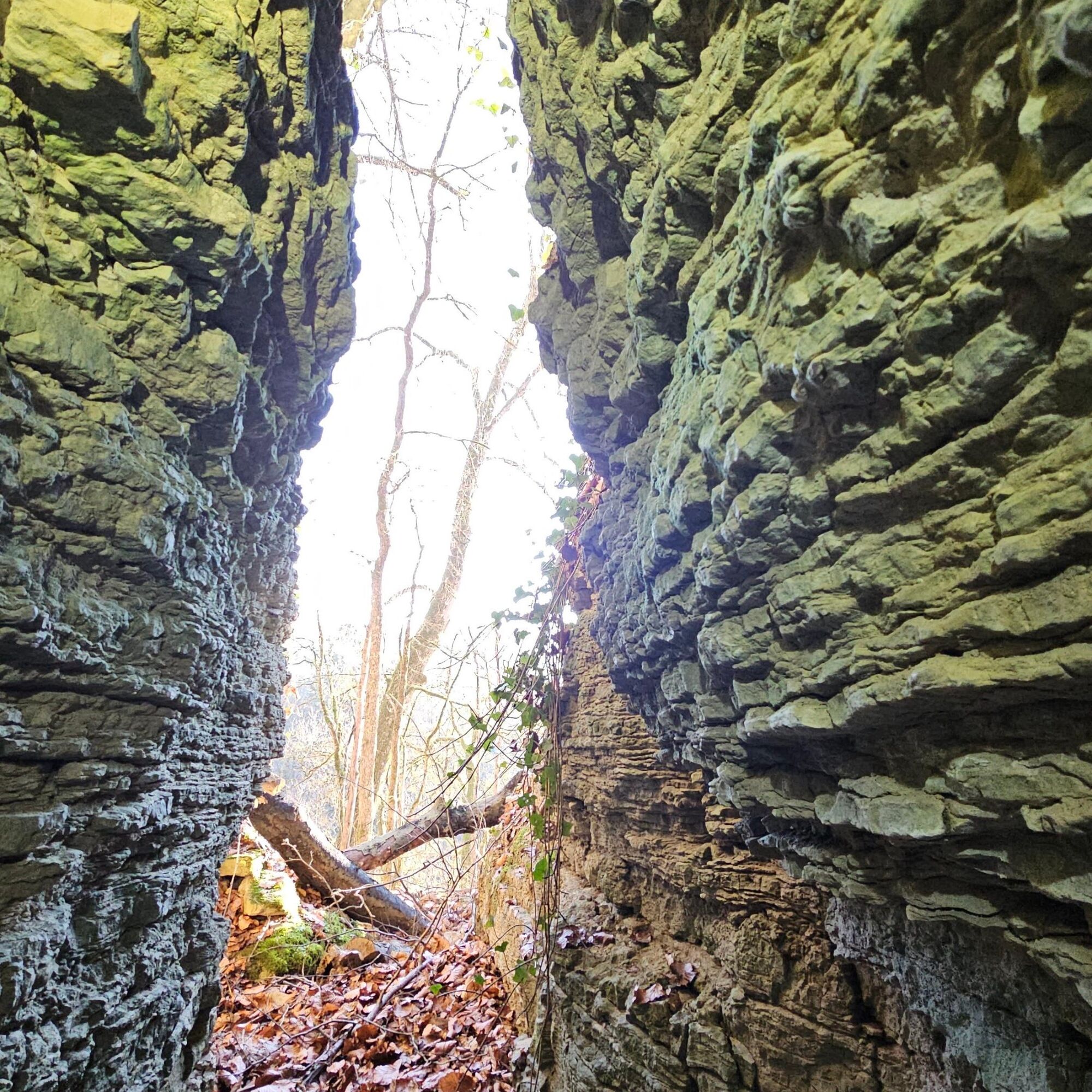
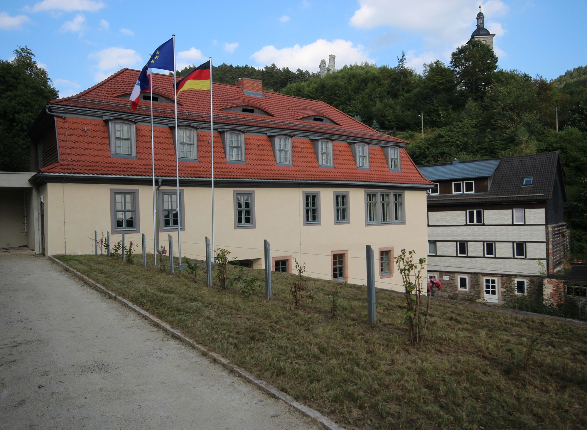
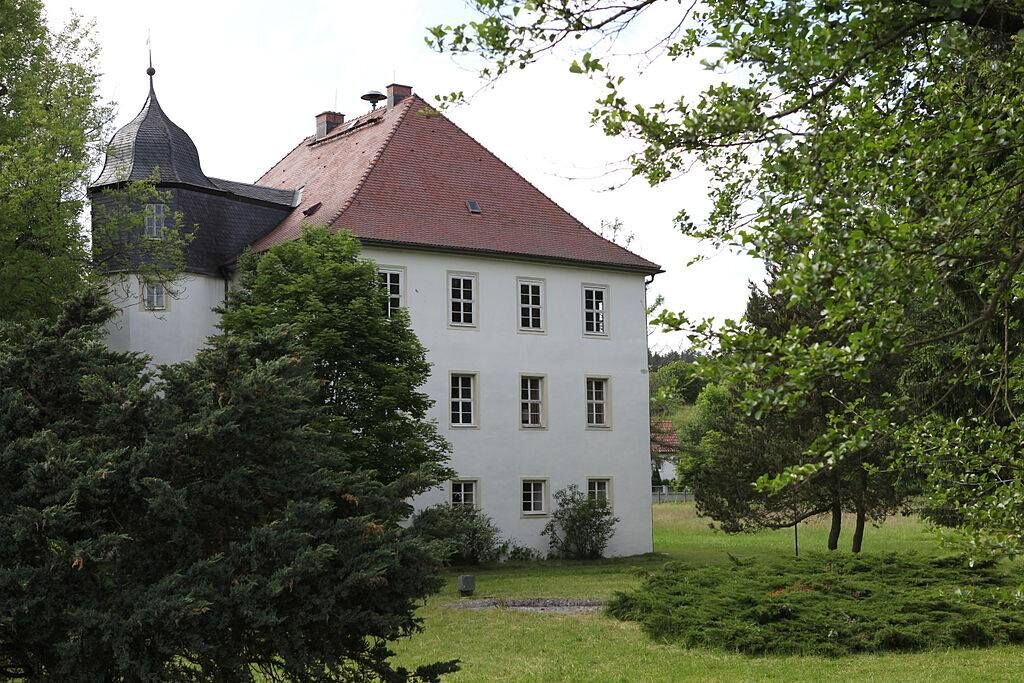
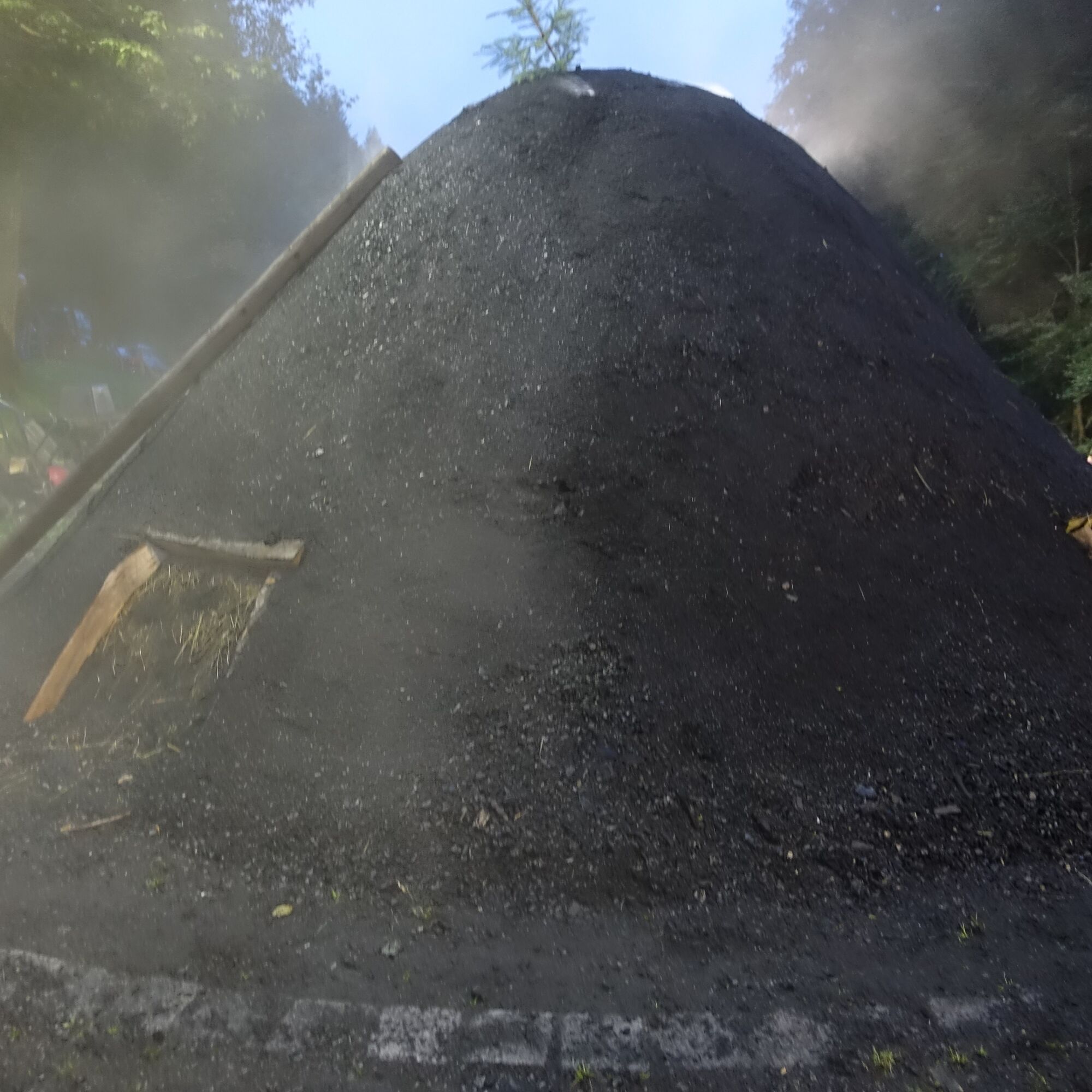


Eisfeld - Steudach - Eisfeld Border Tower - Rottenbacher Moor - Görsdorf - Truckendorf with hiking campsite - Emstadt - Almerswind - Weißenbrunn vorm Wald - Froschgrundsee - Döhlau - Korberoth Memorial Site - Tauplitzer Berg - Generalsblick with hiking area - Isaak - Forschengereuth - Gr. Mühlberg - Hämmere Ebene - Augustenthal with demonstration charcoal kiln - Wasserbergbrunnen - Grabengut - Strohberg - Rabenäußig - Zinselhöhle - Meschenbach - Rauenstein Castle Ruins - Straßenberg - Theuern with Gold Museum - Steger Lookout - Truckenthal - Bleßberghöhe Geopark Information Center - Stelzen with the source of the Itz River - Sachsenbrunn - Eisfeld
Da
Sturdy shoes
Rain gear
Drinks
First-aid kit
GPS navigation device or smartphone
The historic patrol route used by border troops along the Green Belt and the narrow, steep trails along the edge of the mountains require special attention.
Coming from the A73, take Exit 5 (Eisfeld-Nord) and continue on the B281 until the first roundabout; take the second exit and continue on Schleusinger Straße toward Eisfeld.
Of course, you can start this loop hike at various points. We recommend the Eisfeld starting point (which offers the best infrastructure and a return transfer from the halfway point [Mengersgereutch-Hämmern]).
You can reach Eisfeld by train on the SüdthüringenBahn. Use the following link to plan your trip directly—just enter your starting point:
Travel to Eisfeld
Return trip to Eisfeld from Mengersgereuth-Hämmern Ost (end of Stage 1):
Search for direct connections - Mengersgereuth-Hämmern Ost → Eisfeld
Take advantage of the free parking spaces at the Volkshaus (Google Maps waypoint)
T1
This tour can be easily combined with the Südthüringenbahn. There are a total of 9 train stops along the route in the following towns: Eisfeld, Schalkau, and Frankenblick.
Spletne kamere s turneje

Priljubljeni izleti v okolici
Circular route - "When Rennsteig meets the Schwarzatal panorama path" - Limbach
srednjaPohodništvo 9.68 km- 4.0
Circular hiking trail - TOP 2 - Masserberg - "Cultural Experience" - Friedrichshöhe - Thuringian Forest
srednjaPohodništvo 15.2 km Teufelskanzel-Saulochklamm-Einberg
srednjaPohodništvo 7.73 kmNature Park Trail - Griffel Path in the Thuringian Forest
težkoTematska pot 6.45 kmRundweg Muppberg Ne2
srednjaPohodništvo 3.46 kmLong-distance hiking trail - Panoramaweg Schwarzatal - Thuringian Forest
težkoPohodništvo v daljavo 137.0 kmCircular hike - Glass and porcelain tradition on the Rennsteig - Spechtsbrunn
srednjaPohodništvo 13.4 kmCircular hike - "6-Kuppen-Steig" - Steinach - Thuringian Forest
srednjaPohodništvo 37.1 kmCircular hike - over the Wurzelberg to the upper reservoir - hiking start Goldisthal
težkoPohodništvo 13.7 kmRennsteig stage run - 2nd stage Spechtsbrunn - Neustadt am Rennsteig
srednjaTrailrunning 39.8 km

Pohodništvo in sledenje


Ne zamudite ponudb in navdiha za naslednje počitnice
Vaš e-poštni naslov je bil dodan na poštni seznam.





