







Circular hiking trail Bleßberg
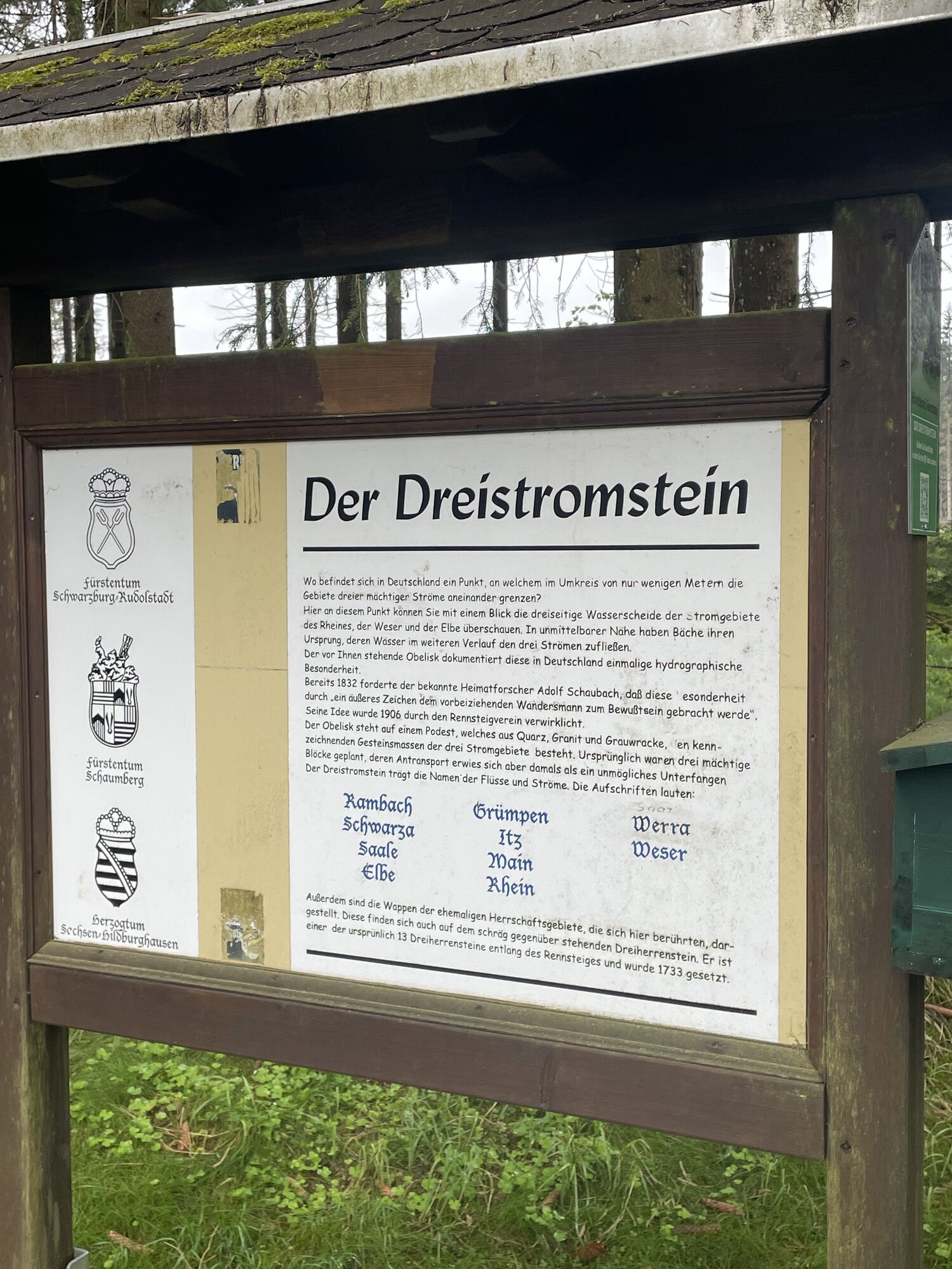
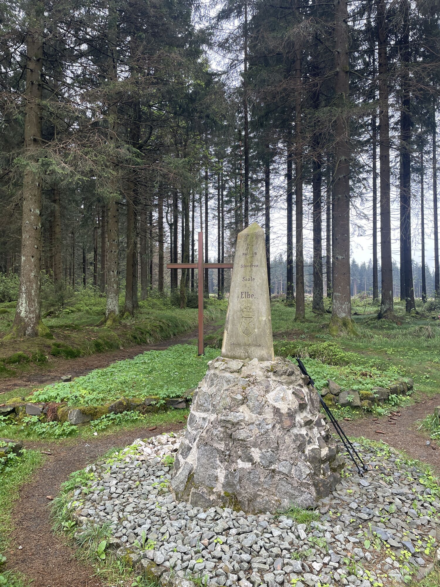
Starting from the Nature Park Gate at Rennsteig in Friedrichshöhe, the path follows the Rennsteig to the German Dreistromstein. Here, the watersheds of the Elbe, Rhine, and Weser split. Nearby is also...
Starting from the Nature Park Gate at Rennsteig in Friedrichshöhe, the path follows the Rennsteig to the German Dreistromstein. Here, the watersheds of the Elbe, Rhine, and Weser split. Nearby is also the Dreiherrenstein. We follow a historic state border with its coat-of-arms stones, refresh ourselves at the Siegmundsburg Werra spring before hiking along the border path to the summit of the Bleßberg. Our goal is to stop at the inn and climb to the observation tower. The view extends far – from the Rhön over the Main valley to the Fichtel Mountains.
Below, a zigzag path takes you steeply down into the Saargrund. In the village with the same name, we turn into the Pechgrund and follow the babbling Pech river up to Friedrichshöhe. There, the open areas of the mountain meadows with their arnica and masterwort greet us. In the village center, a visit to the small Nature Park exhibition in the old school is worthwhile.
The path is consistently well marked with a one.

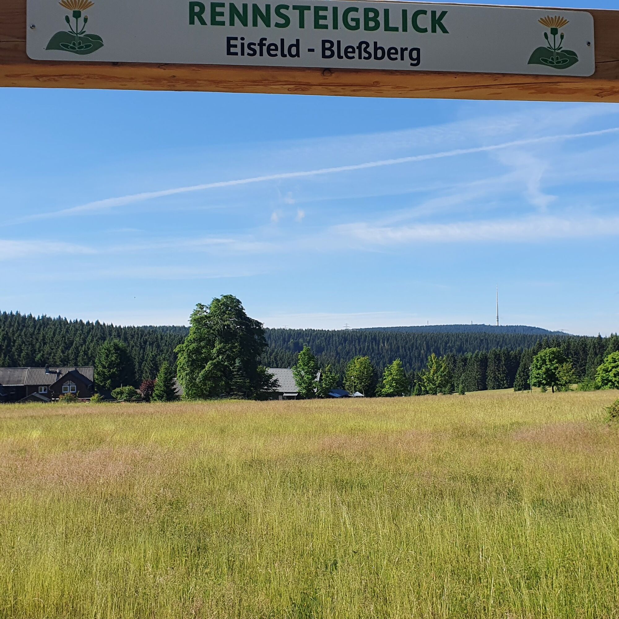
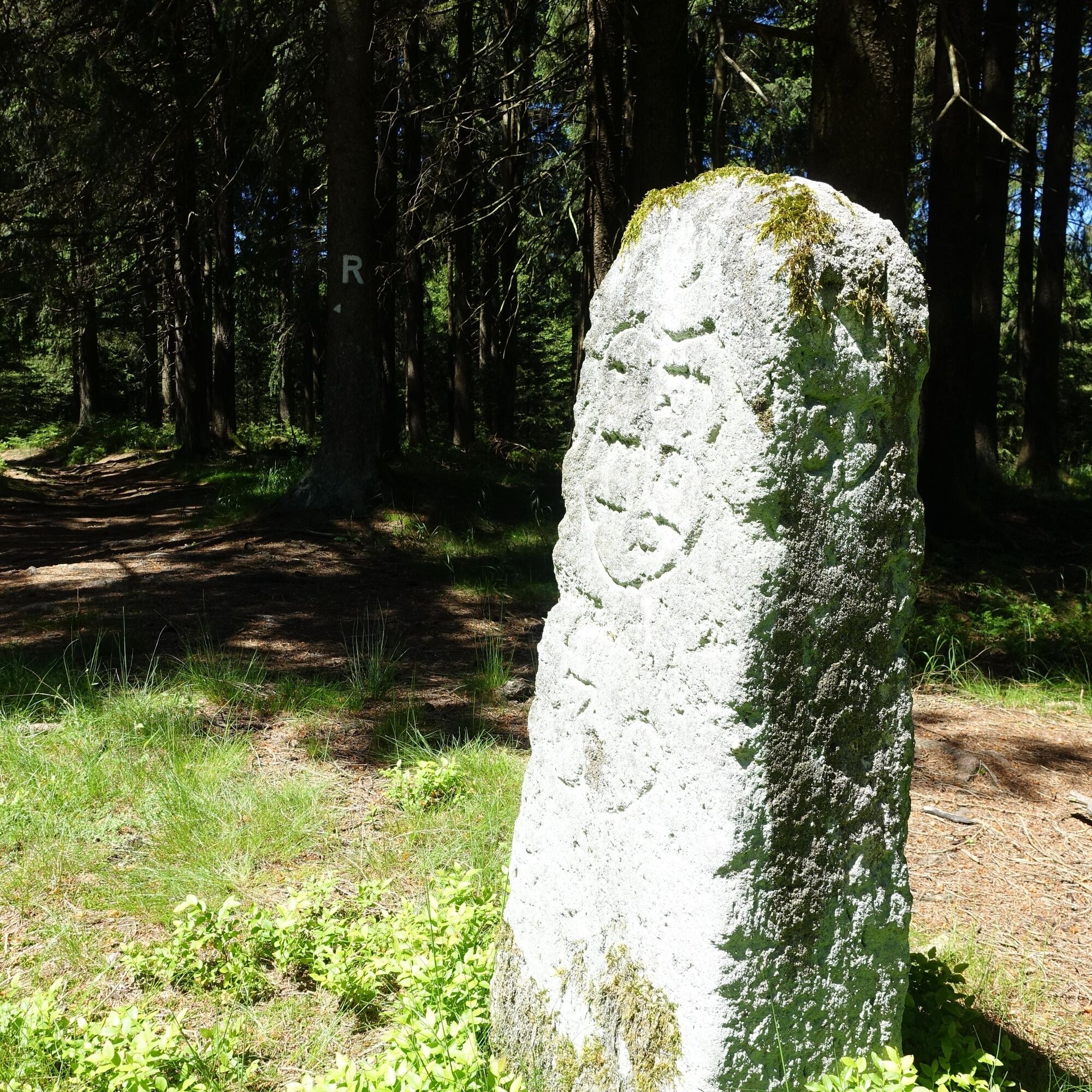
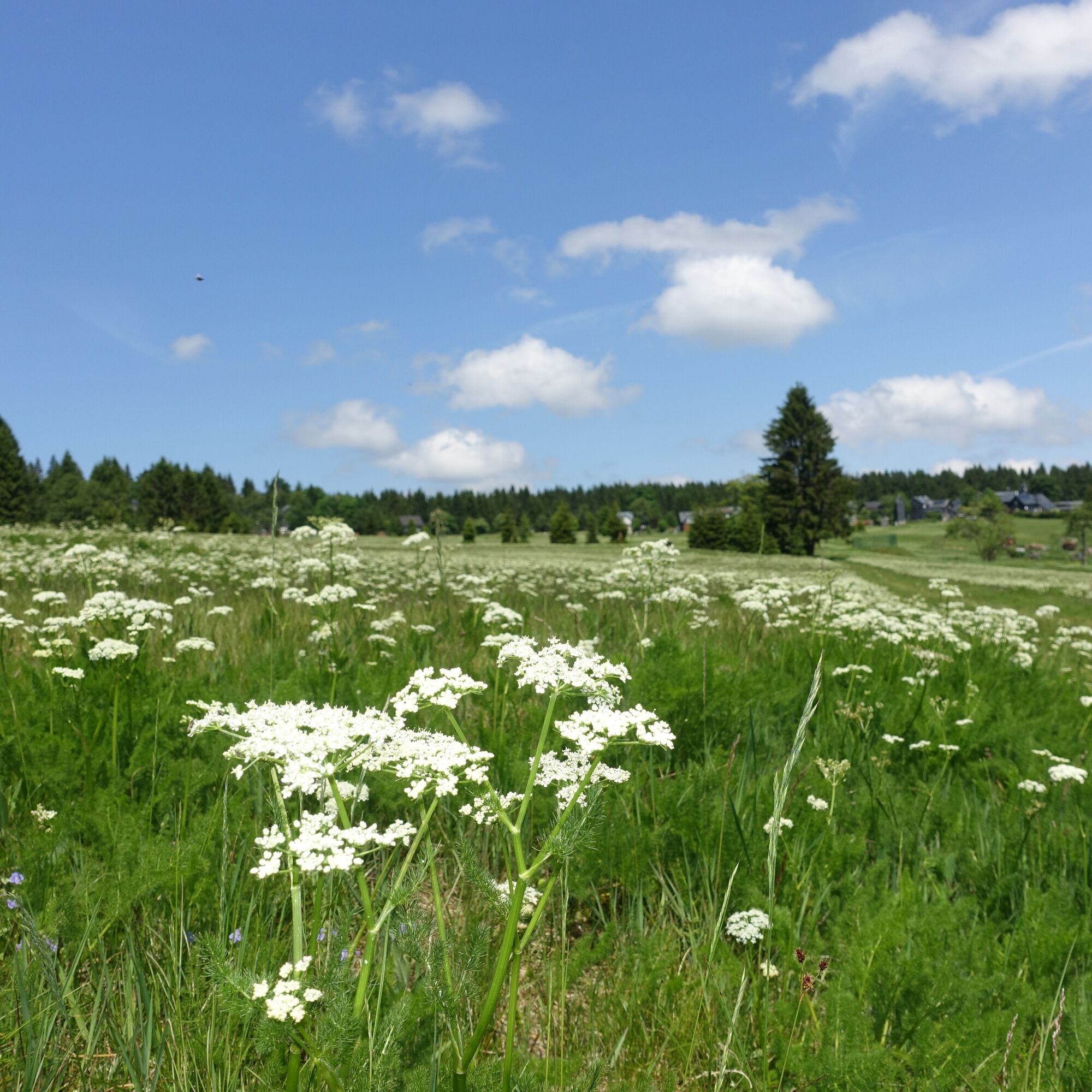
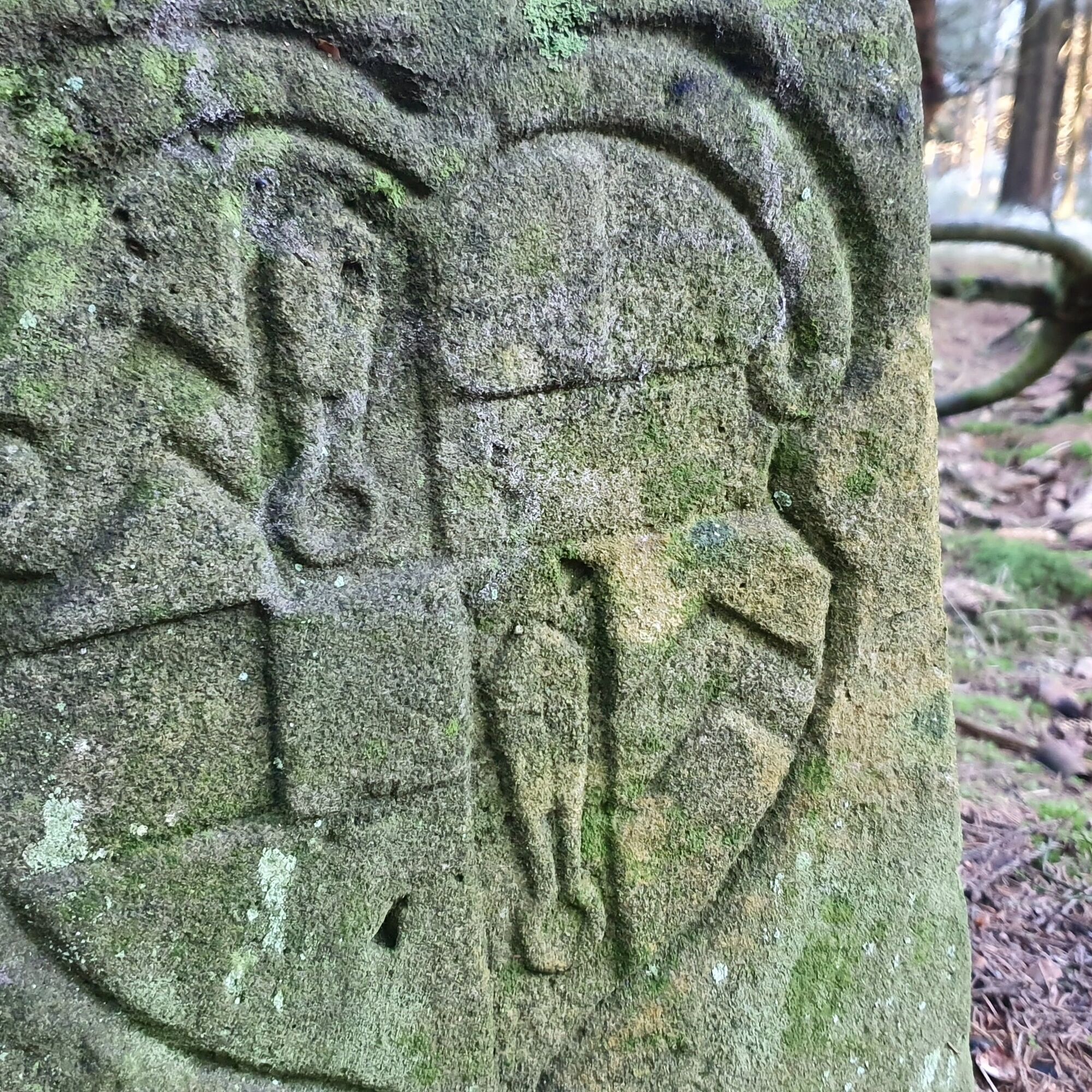
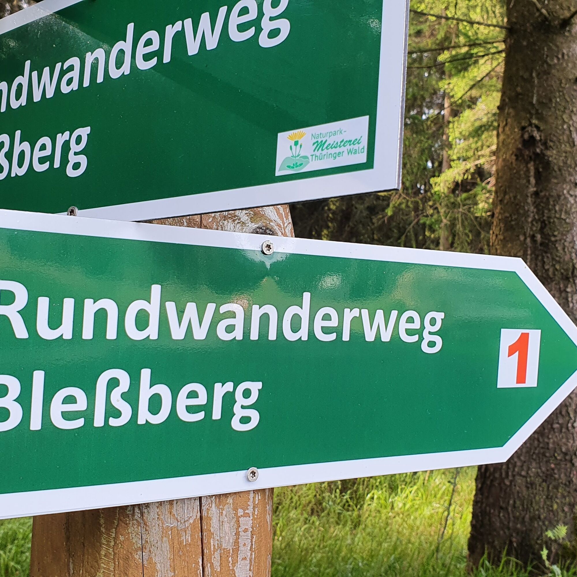
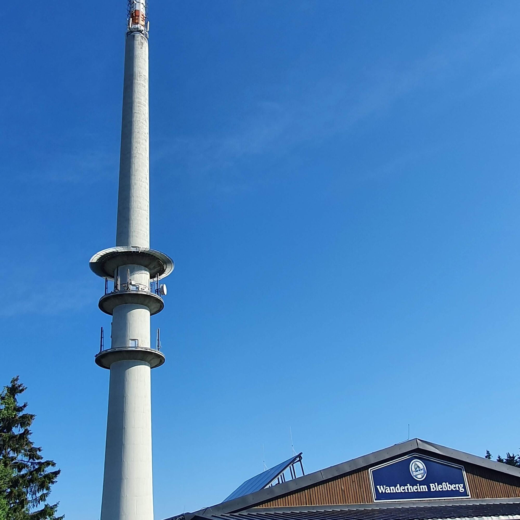
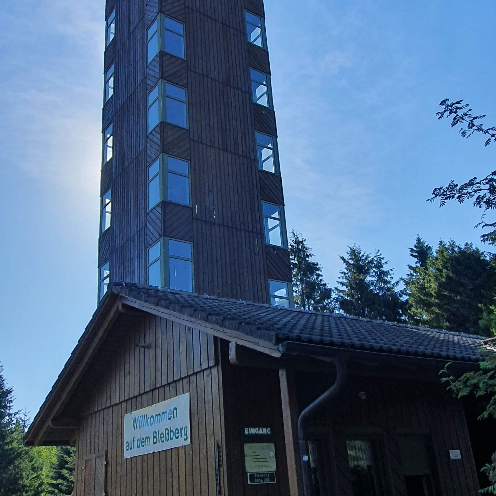



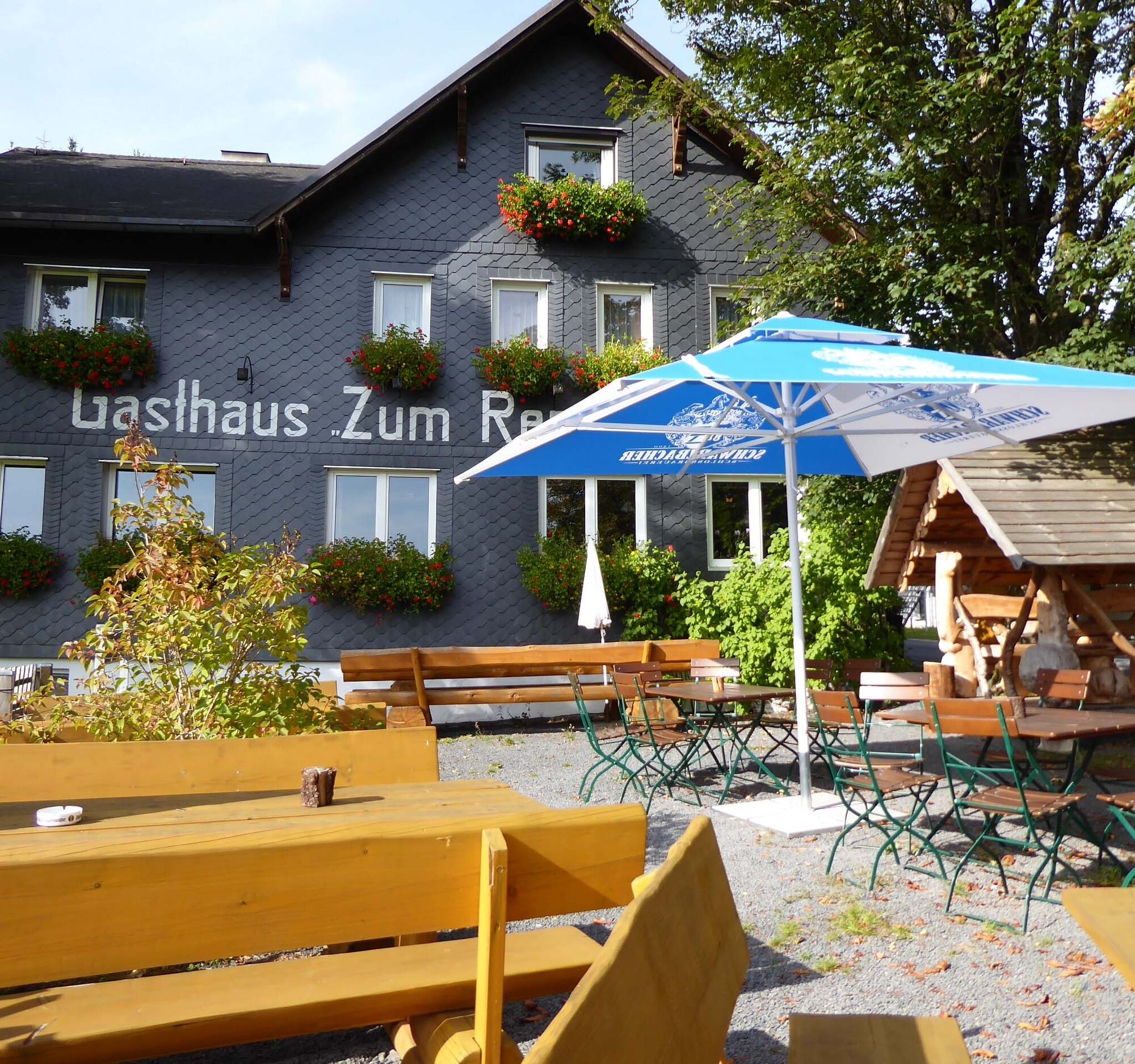
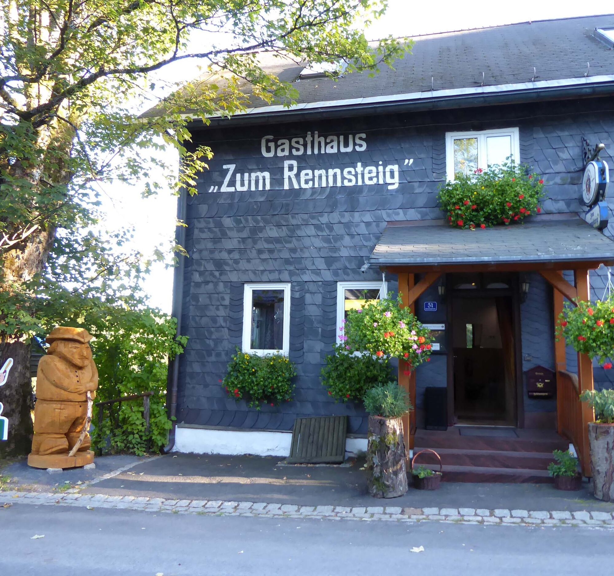
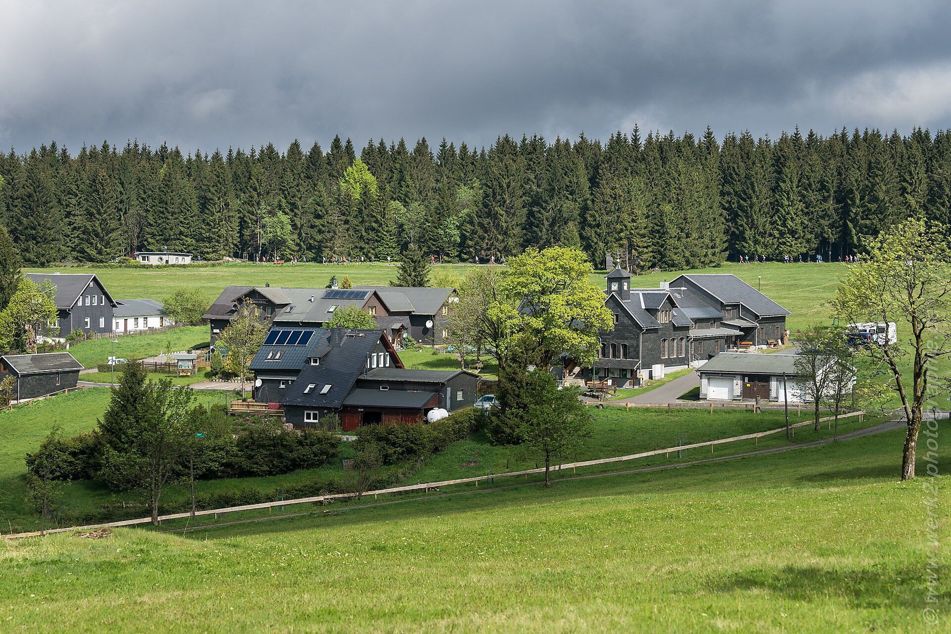
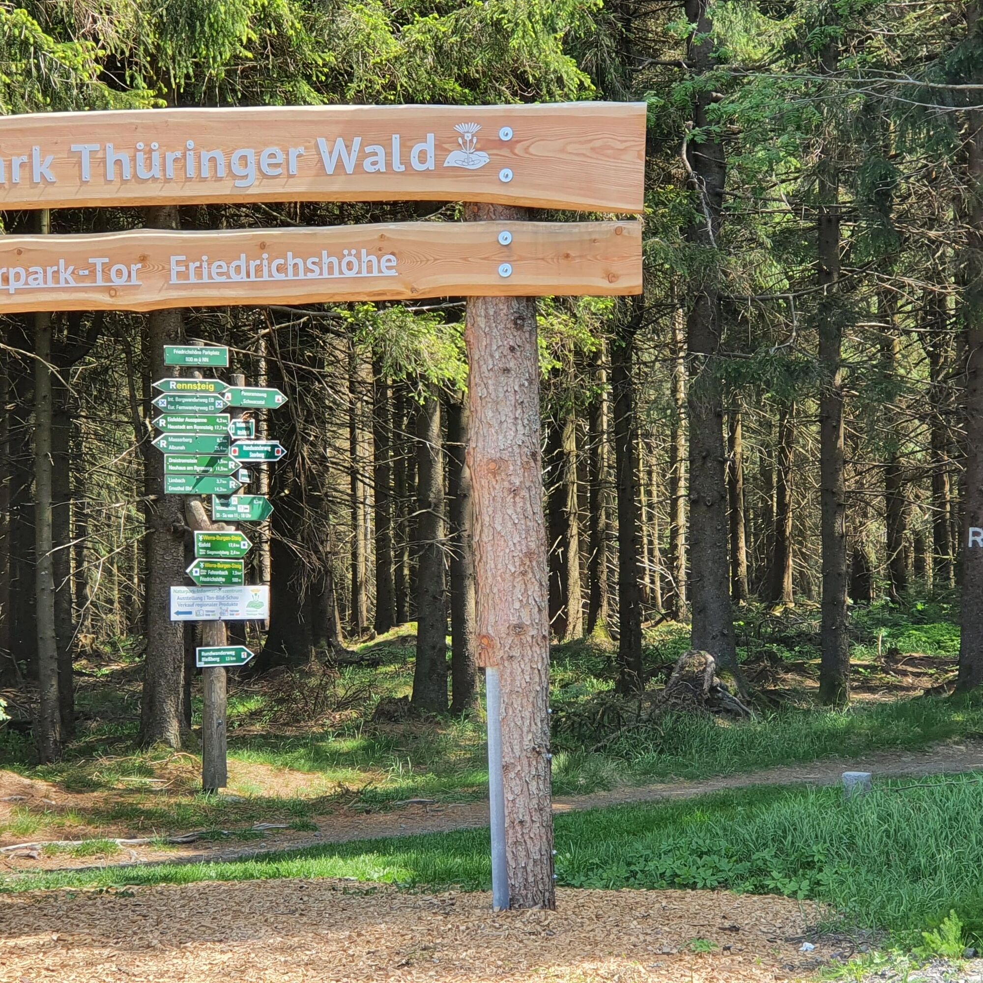


The circular hike can be started at the Nature Park Gate at Rennsteig in Friedrichshöhe. Other starting points are at the Siegmundsburg Werra spring, at the hiking lodge on the Bleßberg, or at the B281 in Saargrund, each at bus stops and hiking parking lots. The paths mostly have a natural surface and are more difficult to walk on in wet weather. It is recommended to hike the route clockwise, as the ascent to the summit of the Bleßberg is less strenuous. However, the descent via a zigzag path, steeply down into the Saargrund, requires surefootedness and endurance.
Da
Da
A backpack sufficiently filled with provisions is not necessary but makes breaks pleasant. Rain gear and sturdy footwear should be brought along.
Clouds regularly gather around the heights of the Thuringian Slate Mountains and enshroud the peaks. Rain is common here. The hiking trails are partly still natural and very steep. Please pay attention to good footwear. The trail is only passable with snowshoes in winter. In spring, old snow in the historic hollow ways may make walking difficult.
Access by car is very easy via the supra-regional federal road 281. It connects the highways BAB 73 with BAB 9.
All three starting points in Siegmundsburg, Saargrund, and also in Friedrichshöhe are easily accessible by bus. The hiking bus line 508 runs from Friedrichshöhe to Masserberg and to Neuhaus am Rennweg to the Südtüringen Railway station.
Free hiking parking lots are found directly at the B 281 in Siegmundsburg and Saargrund as well as in Friedrichshöhe.
From the Bleßberg you have a magnificent panoramic view. Do stop by! blessberg.panomax.com/
In the Thuringian Slate Mountains, many small hidden bogs still exist. Accessible is a slope spring bog right at the starting point in Friedrichshöhe, which is developed with a boardwalk.
Pridobite vpogled
Vedno v živo na mestu z več kot 9.500 spletnimi kamerami. bergfex Kot uporabnik Pro si lahko zdaj ogledate ustrezne spletne kamere za številne izlete v aplikaciji izleti iz. Tako si lahko neposredno ogledate trenutne razmere.
Priljubljeni izleti v okolici
-
5.0
Naturlehrpfad Gießübler Schweiz
srednjaPohodništvo 7.99 km -
3.8
Rundweg Talsperre
srednjaKolesarjenje 14.5 km -
5.0
Circular hiking route - TOP 1 - Werra Source - Masserberg - Thuringian Forest
srednjaPohodništvo 5.94 km -
5.0
Rundtour Staudamm
svetlobaPohodništvo 3.91 km -
Circular route - "When Rennsteig meets the Schwarzatal panorama path" - Limbach
srednjaPohodništvo 9.68 km -
5.0
Circular hiking route - "Panorama View" - Schönbrunn - Thuringian Forest
srednjaPohodništvo 9.79 km -
Circular route - TOP 3 - hike with a view - Masserberg - Thuringian Forest
srednjaPohodništvo 17.3 km -
5.0
Circular hiking trail - "Frankenblick" - Schönbrunn - Thuringian Forest
srednjaPohodništvo 12.3 km -
4.0
Circular hiking trail - TOP 2 - Masserberg - "Cultural Experience" - Friedrichshöhe - Thuringian Forest
srednjaPohodništvo 15.2 km -
Circular hike - Around the pumped-storage power plant - Goldisthal
srednjaPohodništvo 19.5 km
Pohodništvo in sledenje


Ne zamudite ponudb in navdiha za naslednje počitnice
Vaš e-poštni naslov je bil dodan na poštni seznam.





