


Stuhlfelden: Pinzgauer Spazierweg trail no. 719
Stopnja težavnosti: T2
The Pinzgauer Spazierweg, also called Pinzgauer Höhenweg, is an approximately 25 km long high-altitude trail in the Kitzbühel Alps. It should be noted here that the described hike starts at the Bürglhütte,...
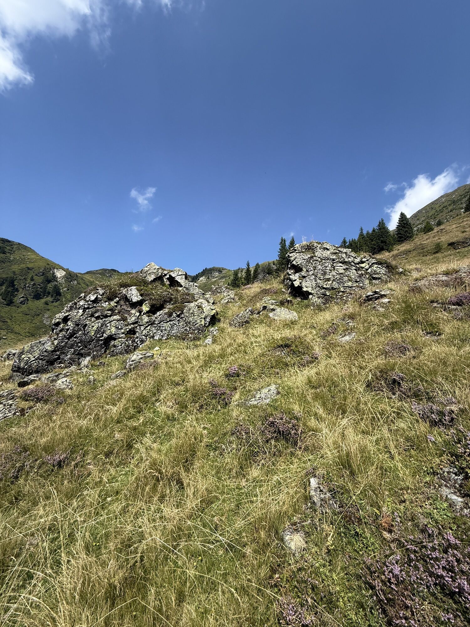
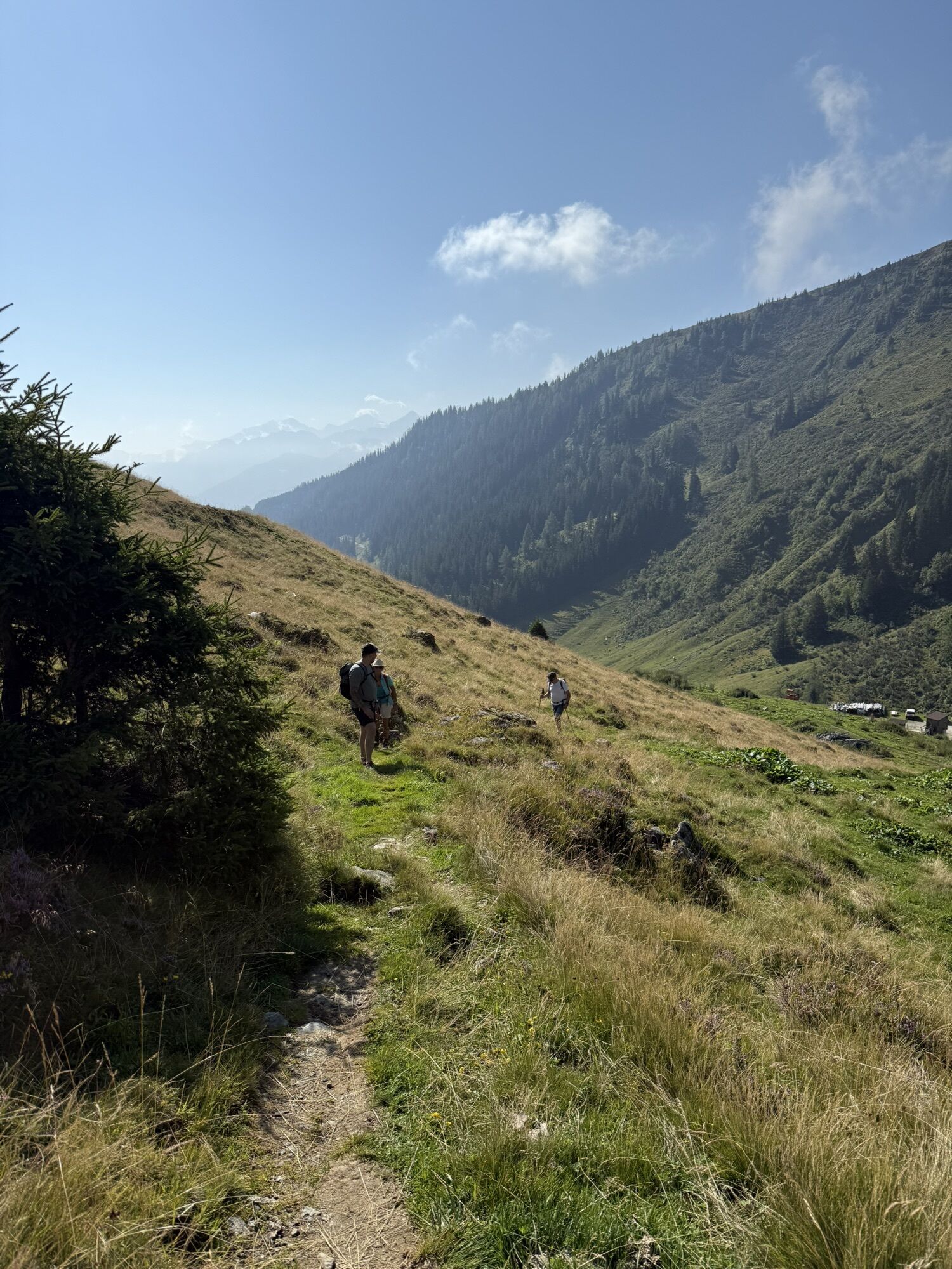
The Pinzgauer Spazierweg, also called Pinzgauer Höhenweg, is an approximately 25 km long high-altitude trail in the Kitzbühel Alps. It should be noted here that the described hike starts at the Bürglhütte, runs westward with a descent into the valley, and represents only a small part of the Höhenweg. Generally, the Pinzgauer Spazierweg runs parallel to the Salzach valley on a mountain ridge about 2000 m high, which separates the high alpine Längstal in the north from the Glemmtal. The entire route lies within the Pinzgau region. The Pinzgauer Spazierweg begins in Mittersill-Stuhlfelden and ends at the Schmittenhöhe in Zell am See or vice versa. Large ascents are rare on the trail; mostly, the path runs between 1,800 m and 2,000 m. The special appeal of this hiking trail is the constant view of the highest peaks of the High Tauern.

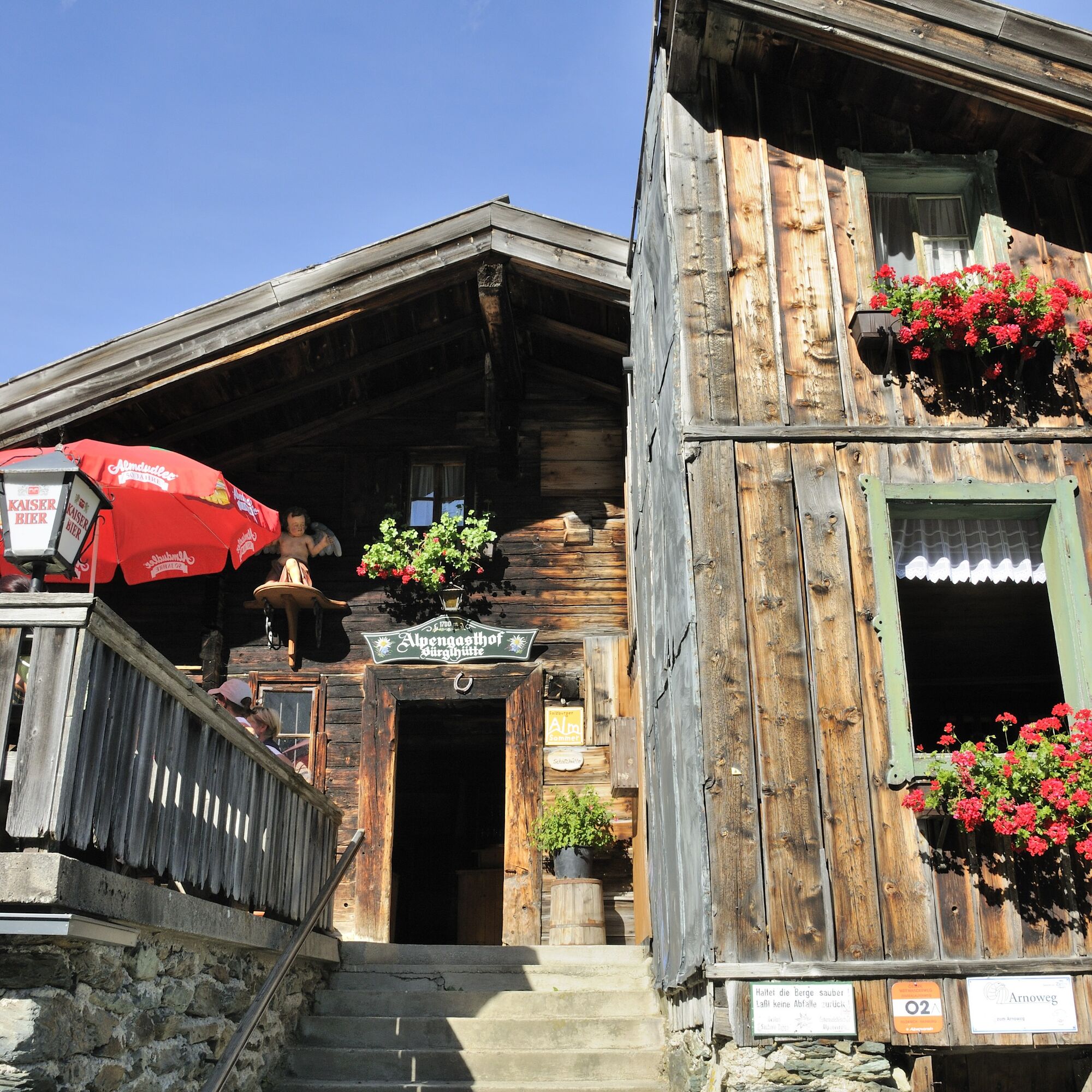
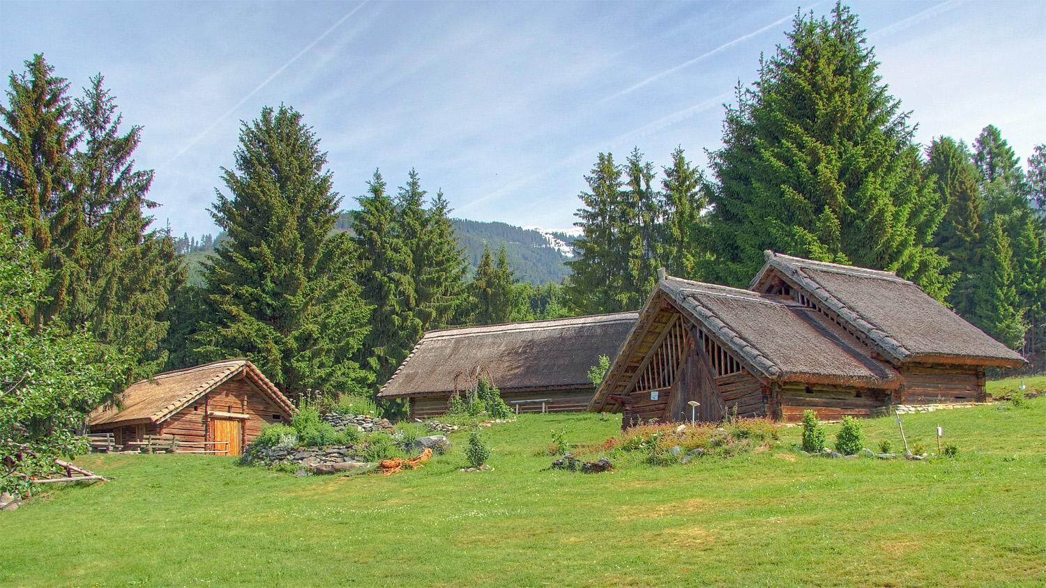
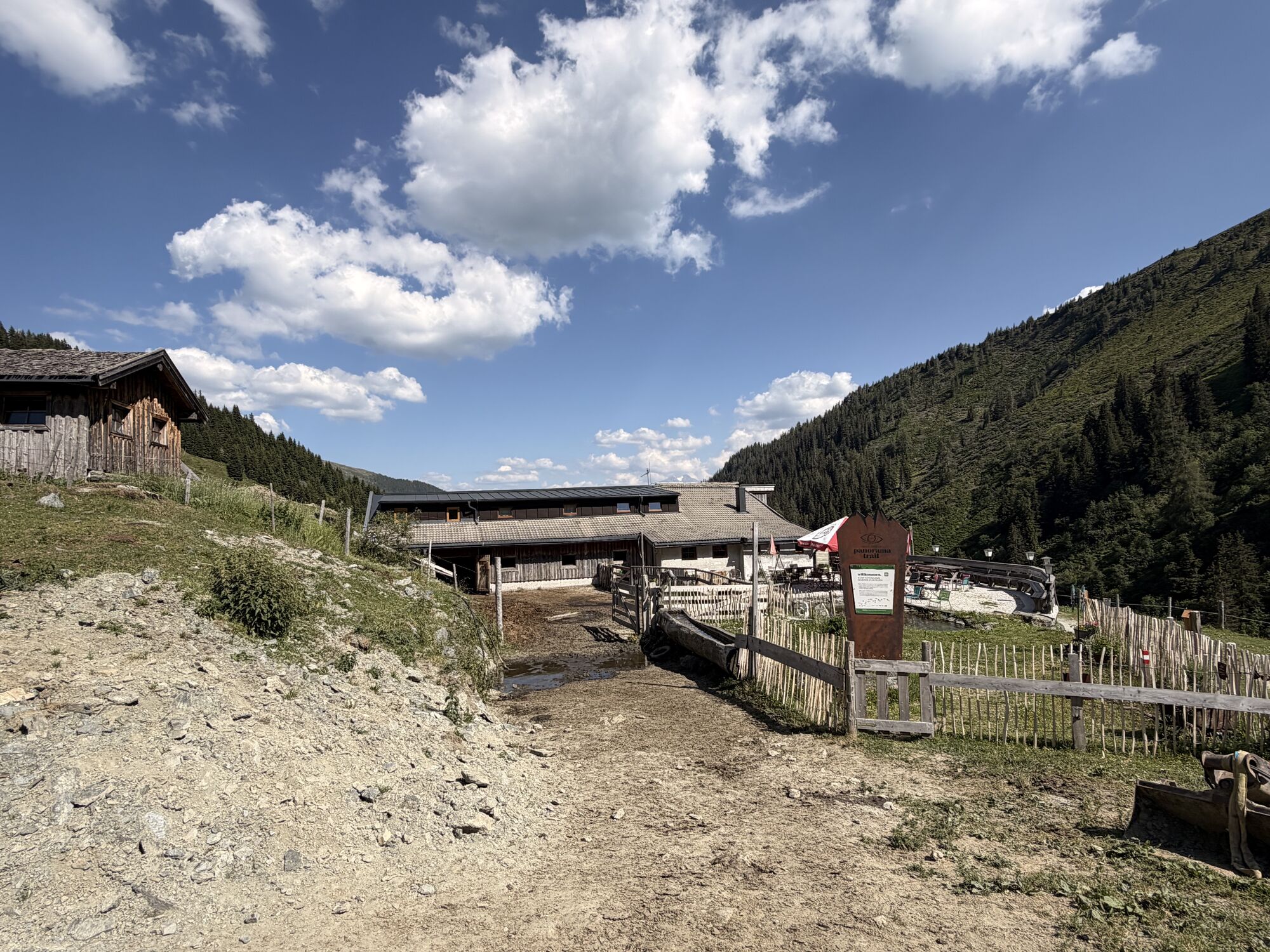
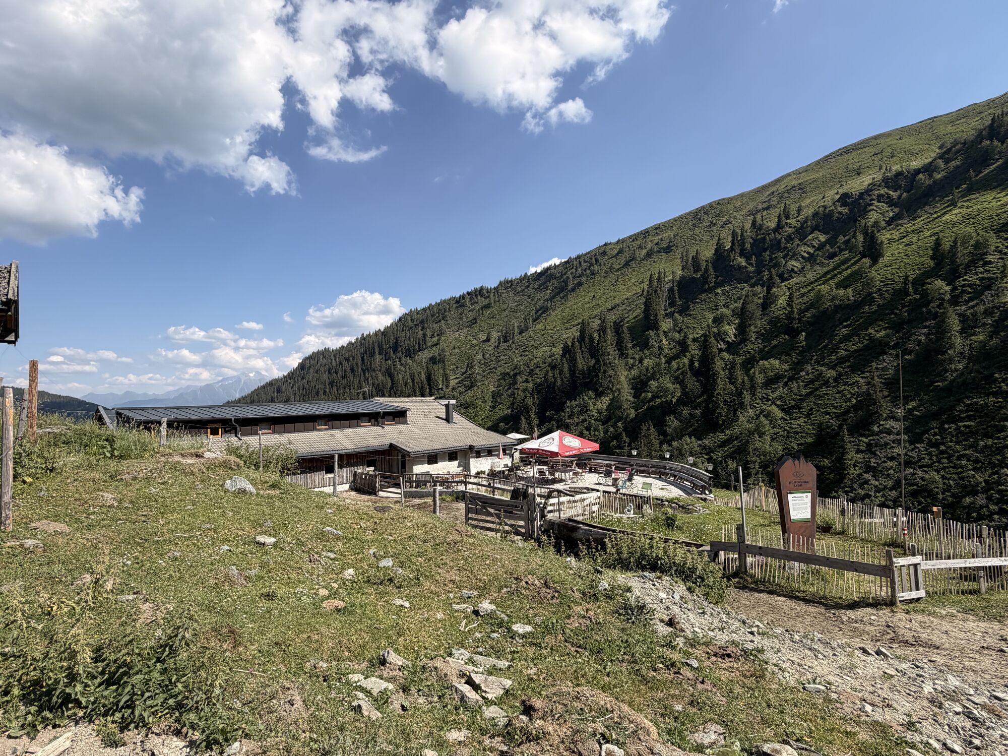
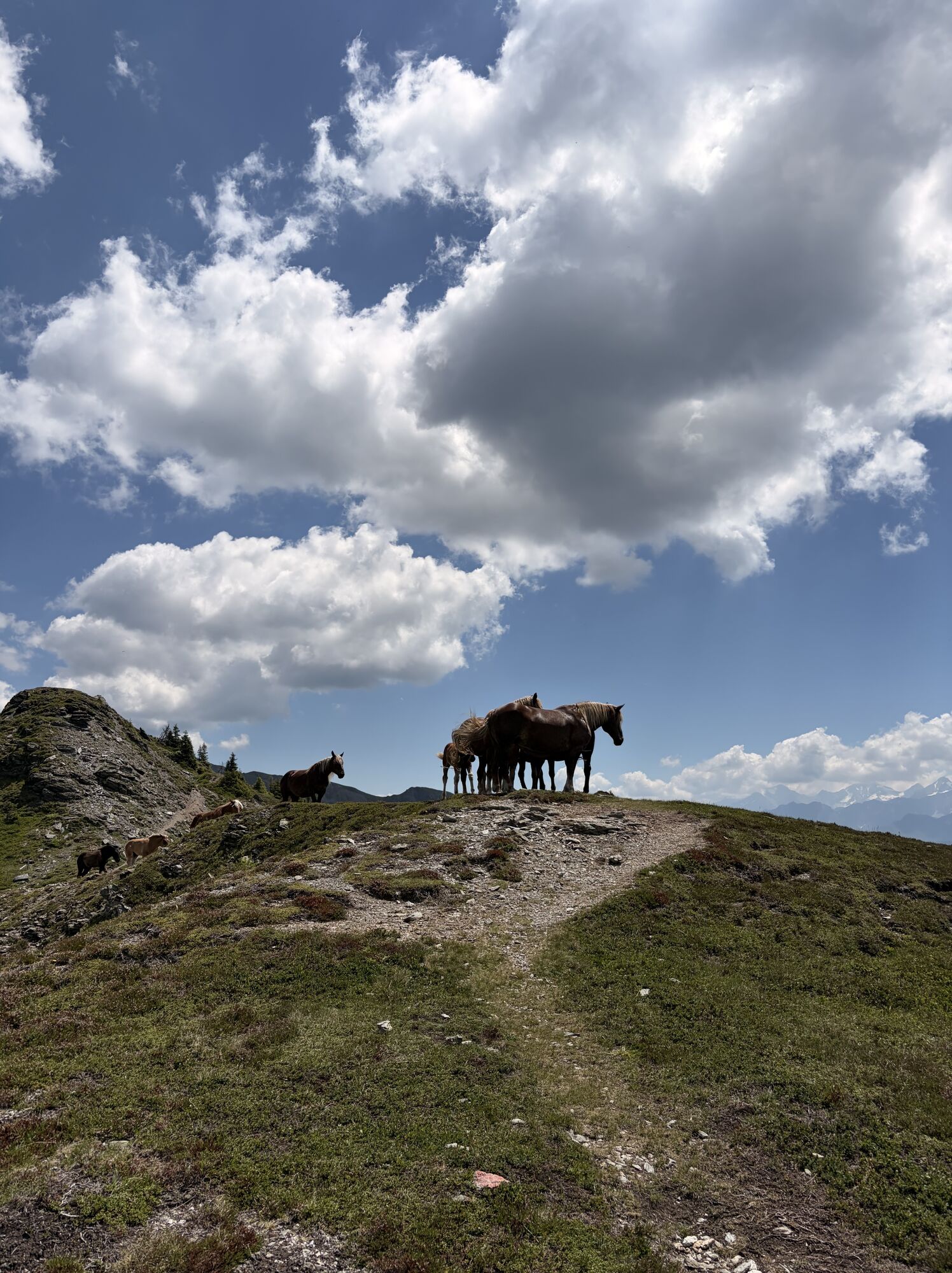
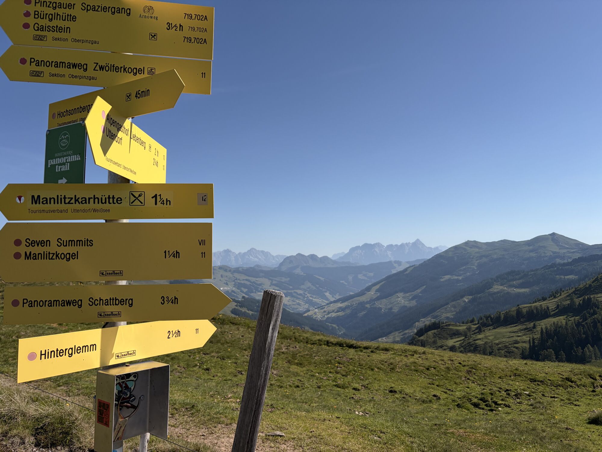
From the Bürglhütte (1699m) follow the driveable path. After the right turn, follow the signpost to trail 719. Turn onto 702 A and head east over alpine meadows past the Sticklhochalm (1883m; about 50 minutes) to the Murnauer Scharte (1959m). Continue on the hiking trail - up and down to Pihappenkogel (2,118m). Over the east flank of Manlitzkogel towards Rabenkopf, then you will reach the lower lying Sommertor. From here, the descent to Uttendorf begins. (Trail number 10; 747) Via Viertalalm towards Liebenberg. The final descent leads via the "Butterfly Nature Trail" to the Celtic village.
Ankle-high hiking boots, weatherproof clothing, sufficient drinking water & snacks, hiking map, mobile phone required!
A basic sure-footedness is required!
Have yourself chauffeured to the Bürglhütte Stuhlfelden, as the end point of this route is in Uttendorf.
The Mittersill-Hollersbach-Stuhlfelden region is very well accessible by the Pinzgau local railway and ÖBB buses.
There is ample parking available at the Bürglhütte.
T2
Mittersill Plus GmbH, Zeller Straße 2, 5730 Mittersill, Tel. +43(0) 6562 4292
A visit to the Celtic village site at Stoanbichl (Quettensberg) is the crowning conclusion of an eventful hike. The Celtic village can be viewed individually from the outside at any time.
Priljubljeni izleti v okolici
-
4.0
Maurerkogel (Top)
Pohodništvo 10.5 km -
5.0
Panorama route 3 peaks and 2 lakes
srednjaPohodništvo 7.21 km -
4.7
Tristkogel
težkoPohodništvo 15.6 km -
3.9
Hollersbach: Pihapper Wegnr. 935
težkoPohodništvo 12.8 km -
5.0
10D Hochsonnbergrunde
srednjaMountainbike 26.4 km -
4.9
Manlitzkogel
težkoPohodništvo 13.4 km -
4.1
Via the Schösswendklamm to Hintersee
srednjaPohodništvo 8.29 km -
4.0
Mittersill: ski tour Sonnalm
srednjaSmučarska tura 4.87 km -
4.2
Spielbergalmen
srednjaPohodništvo 10 km -
4.4
Saalachtal high trail WEST
srednjaPohodništvo 19.3 km
Pohodništvo in sledenje


Ne zamudite ponudb in navdiha za naslednje počitnice
Vaš e-poštni naslov je bil dodan na poštni seznam.