







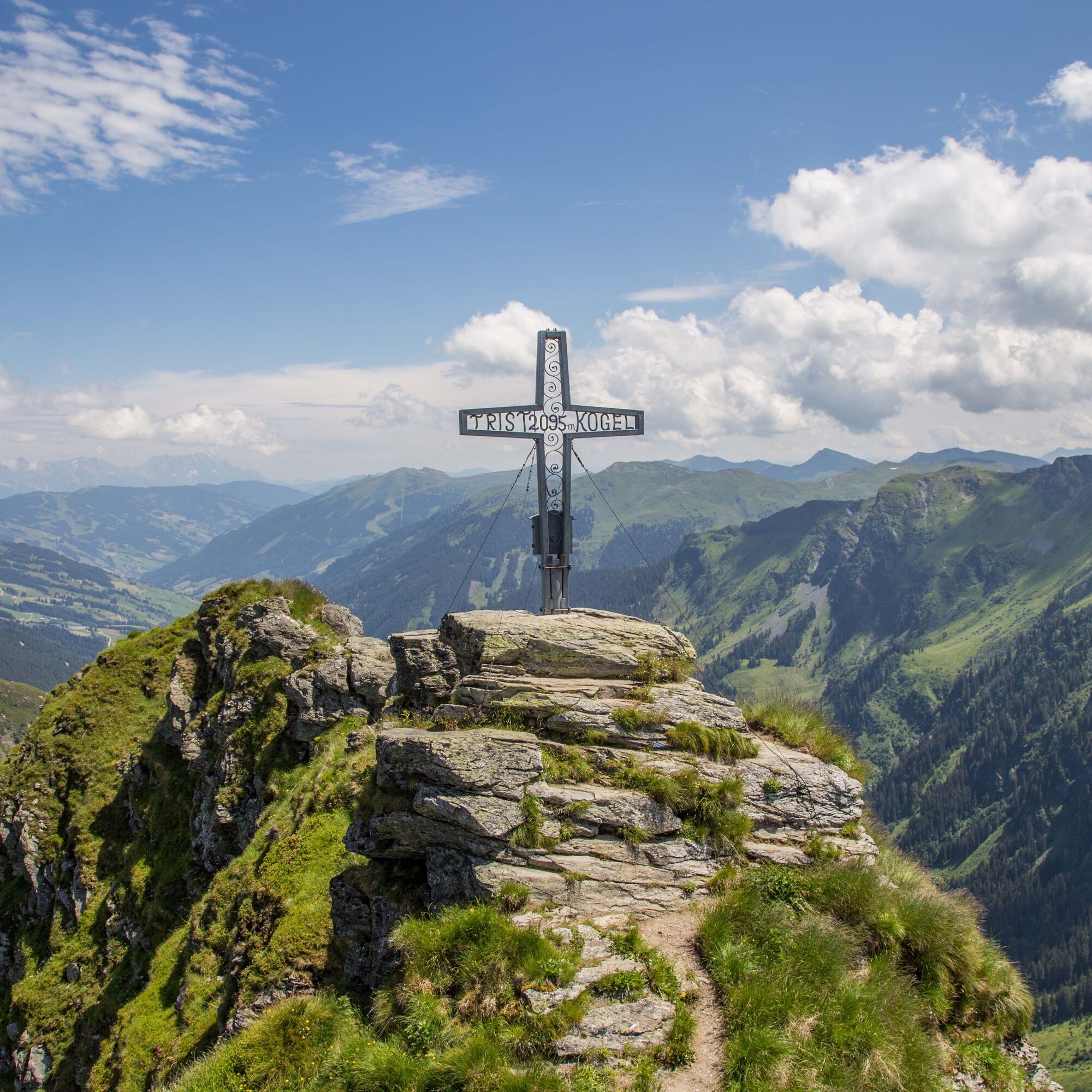
Tristkogel
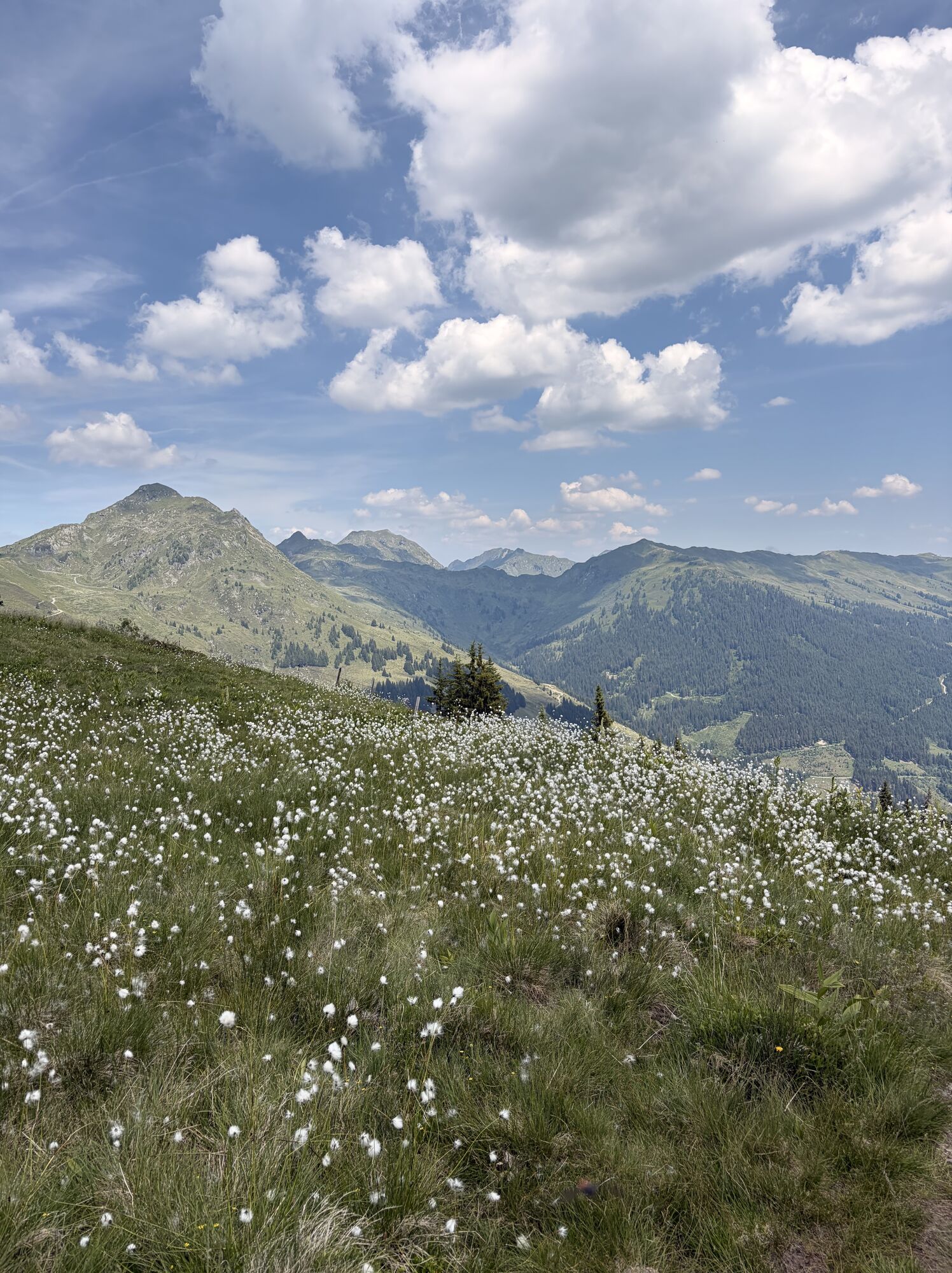
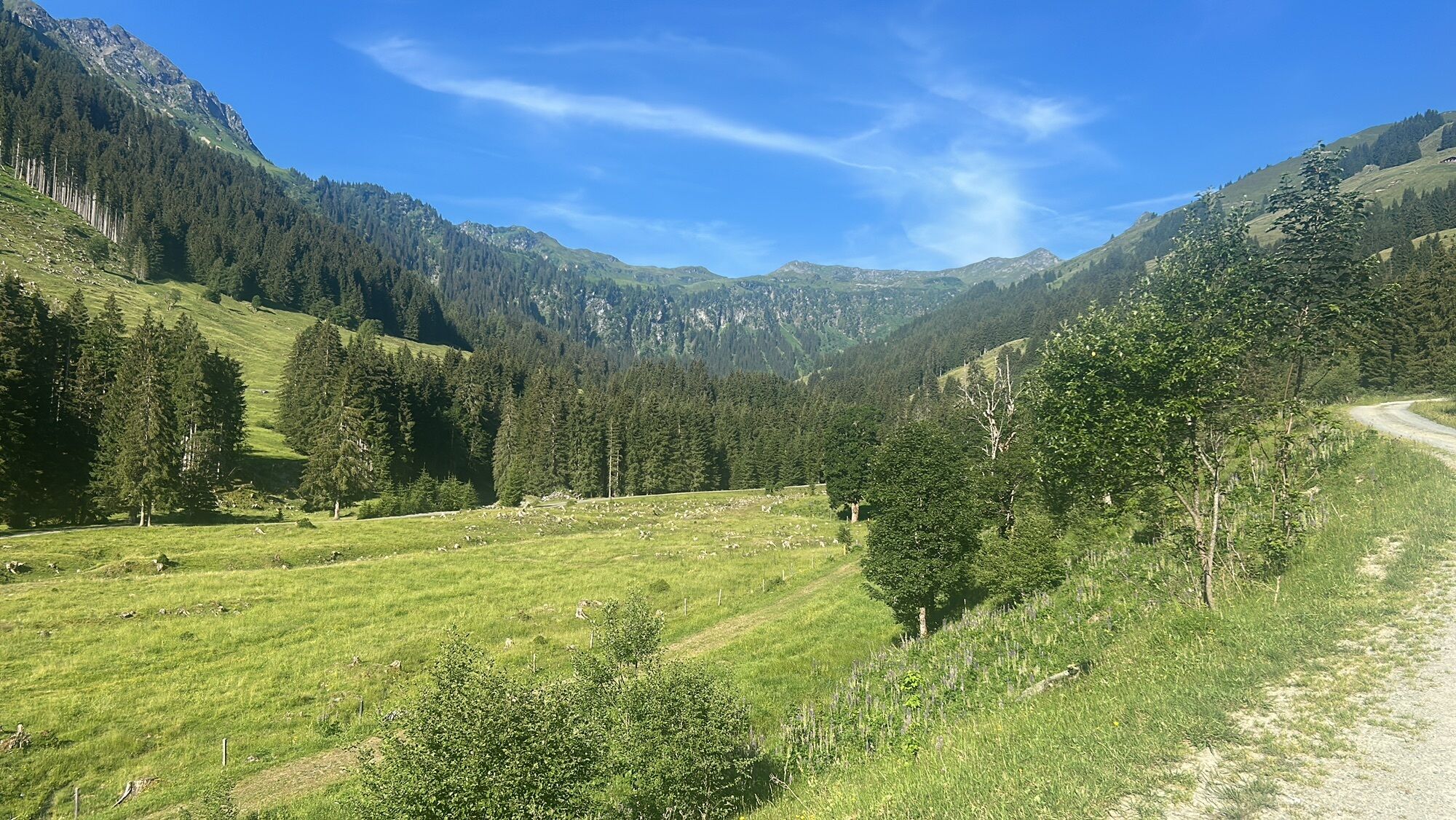
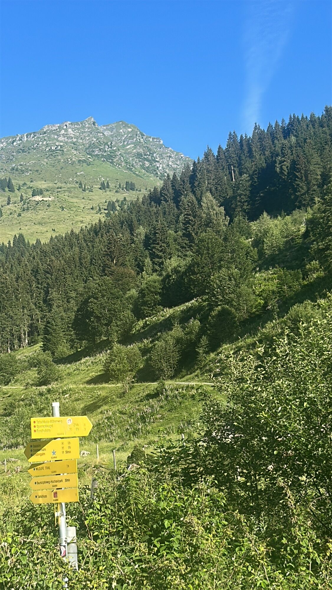
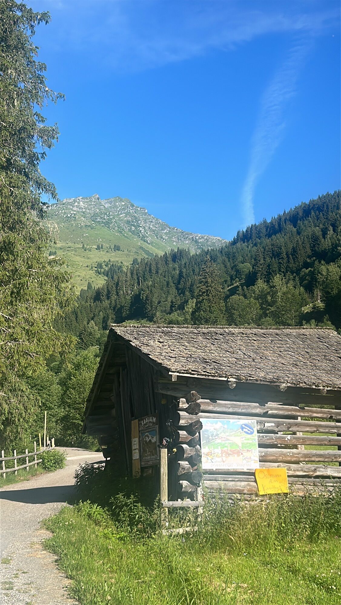
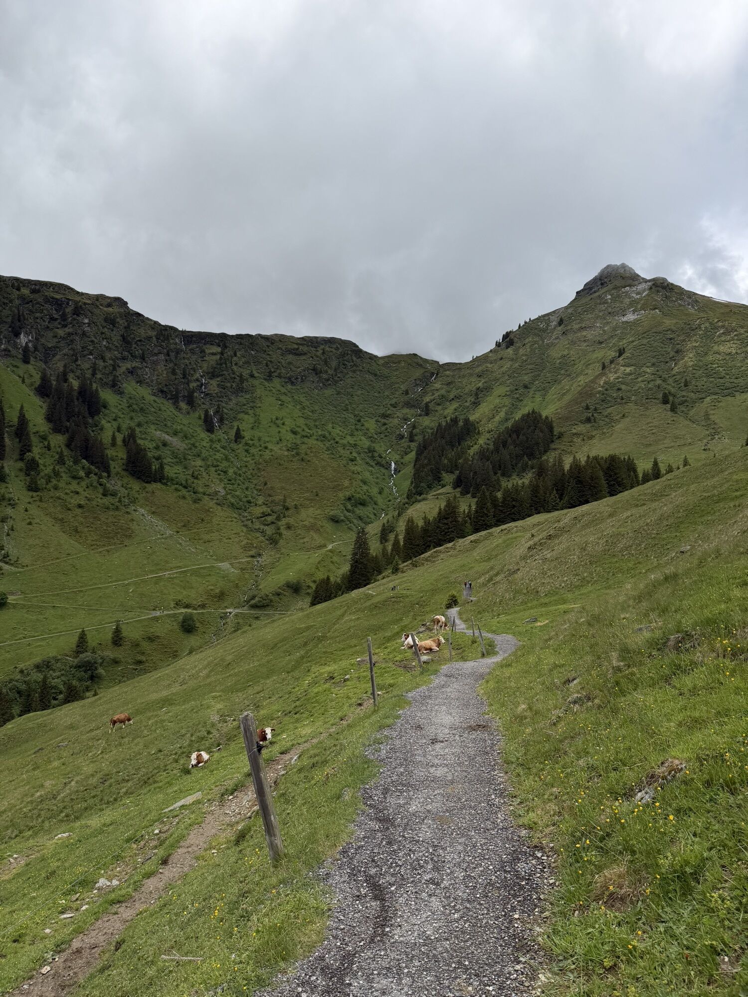
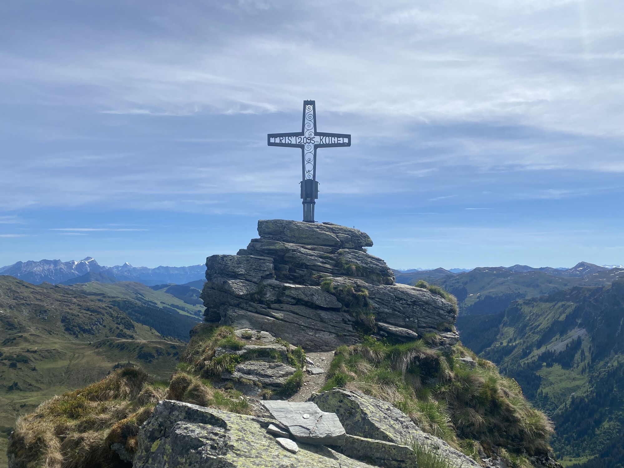
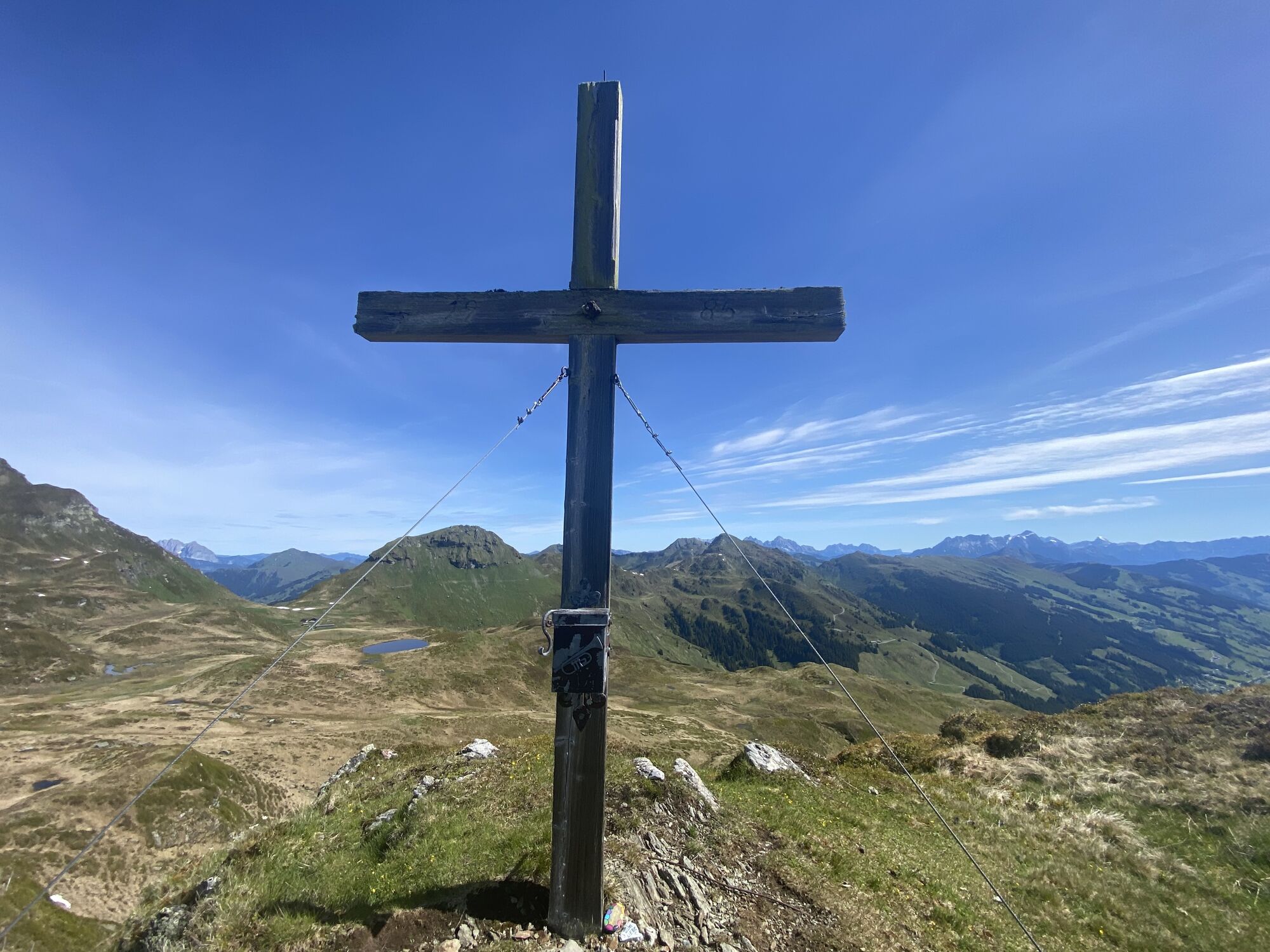
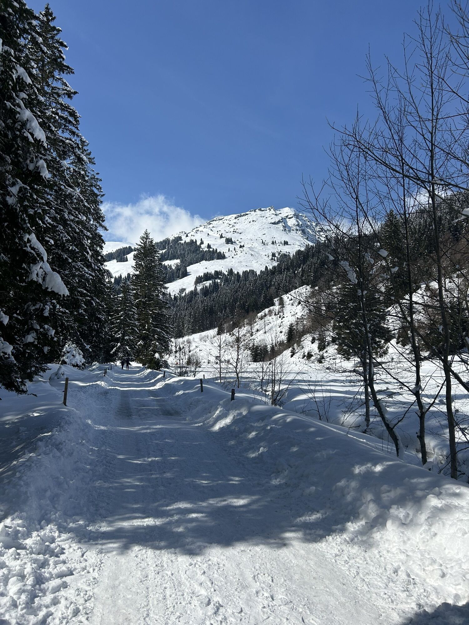
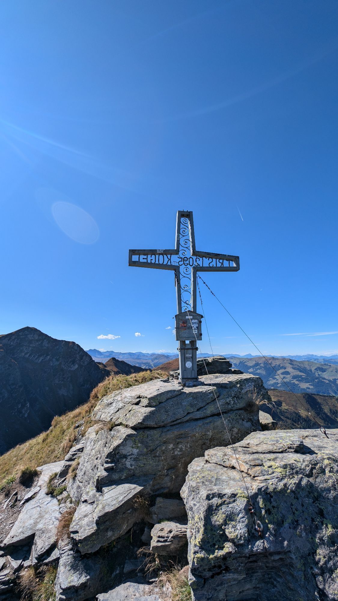
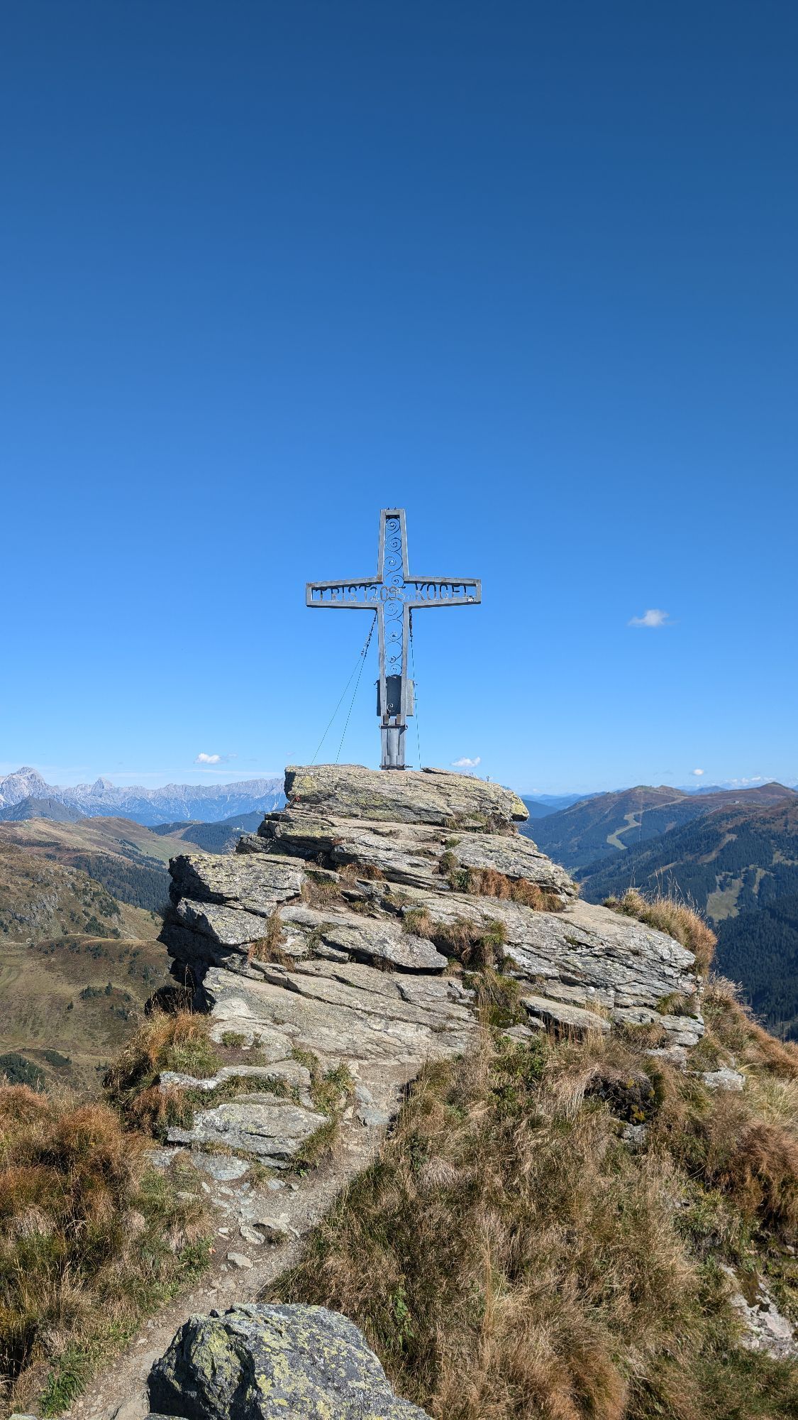
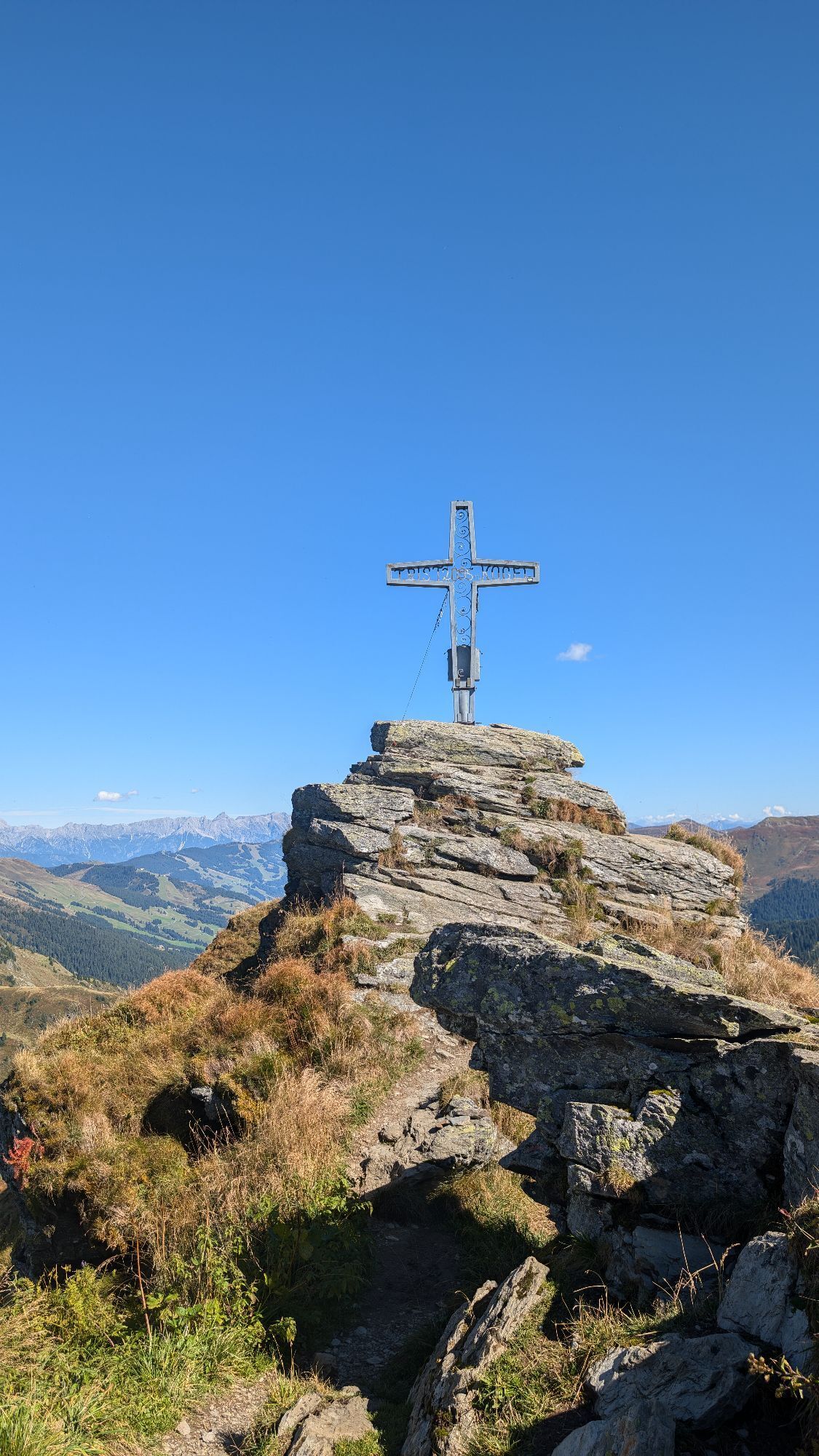
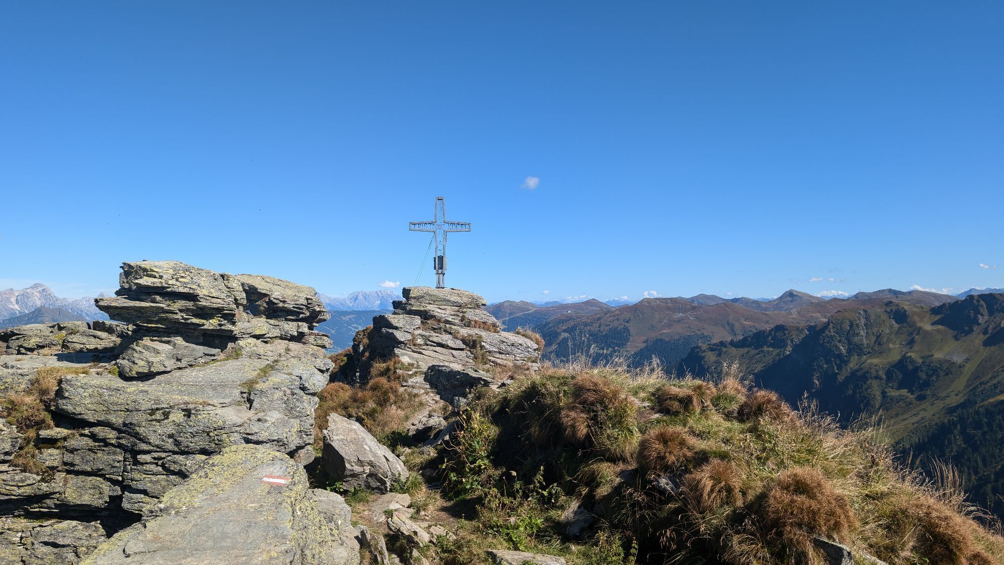
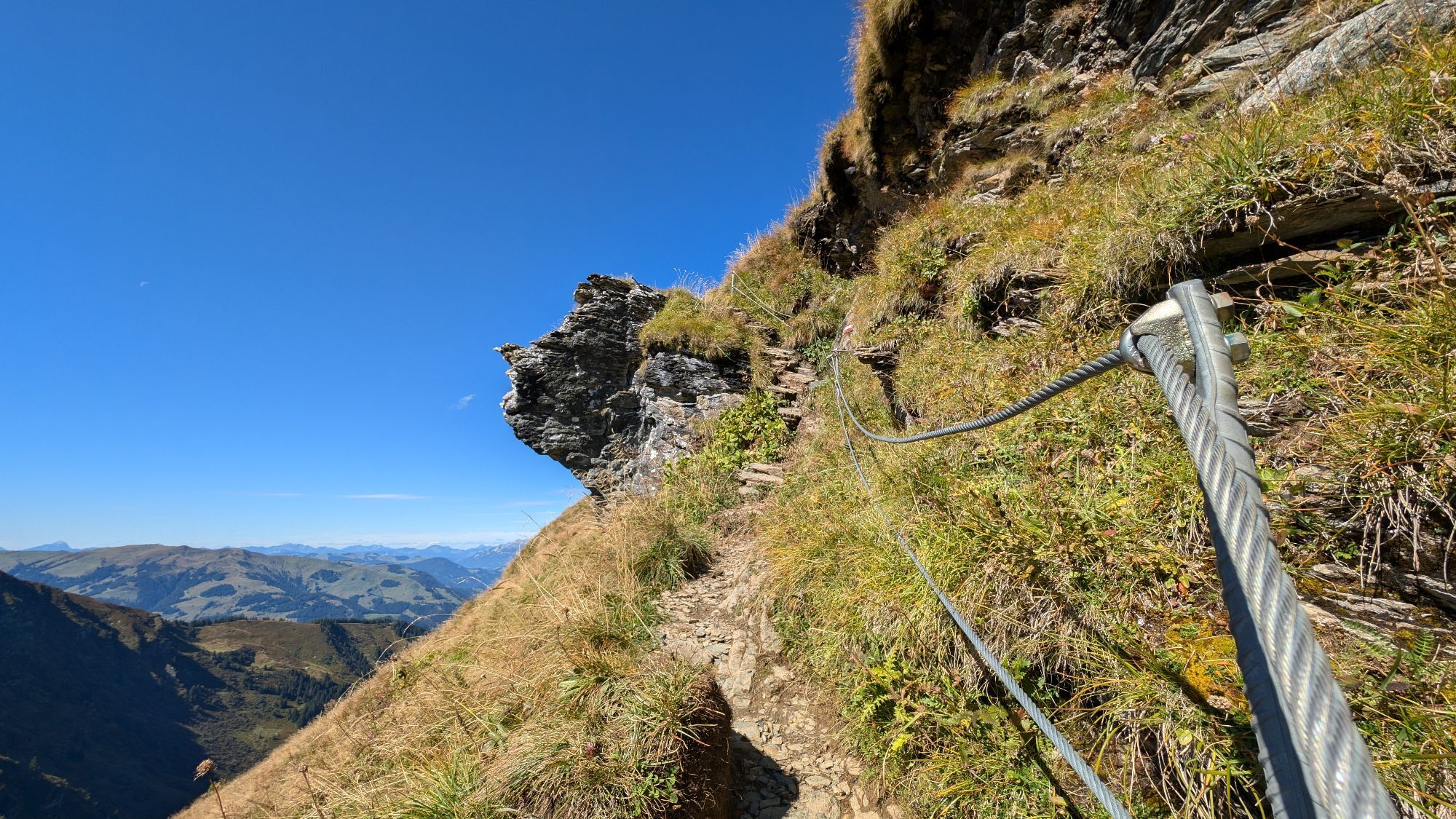
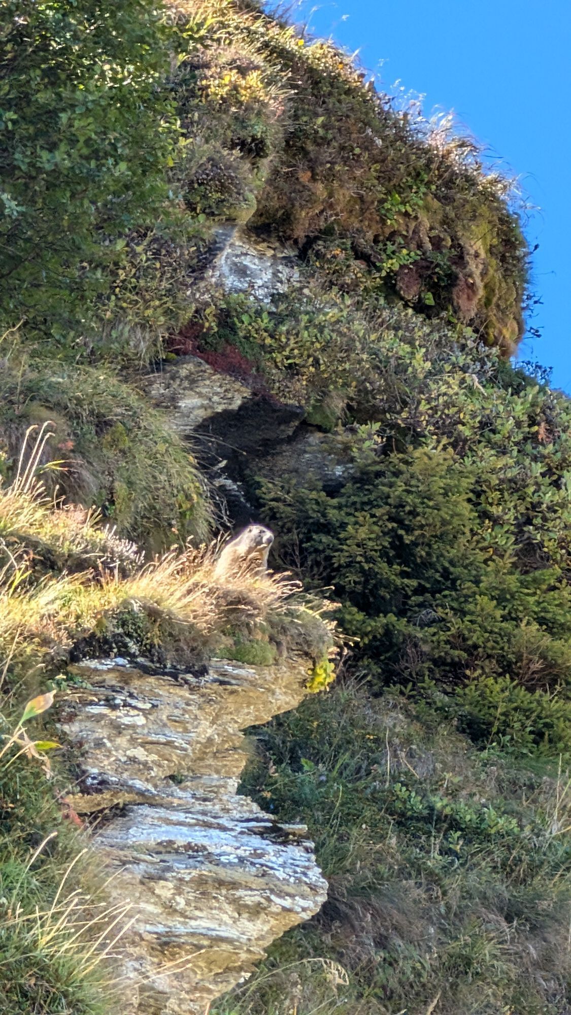
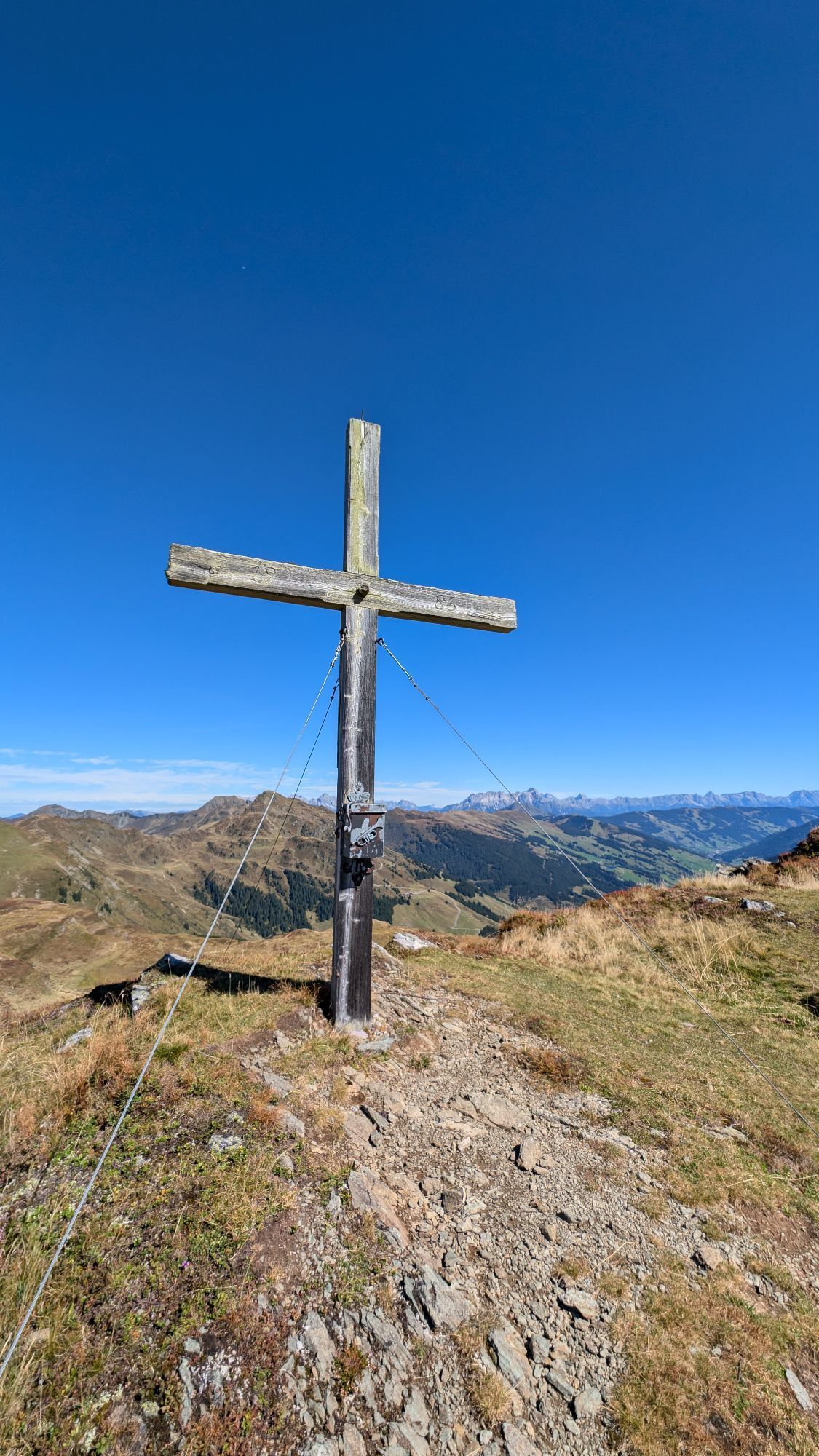

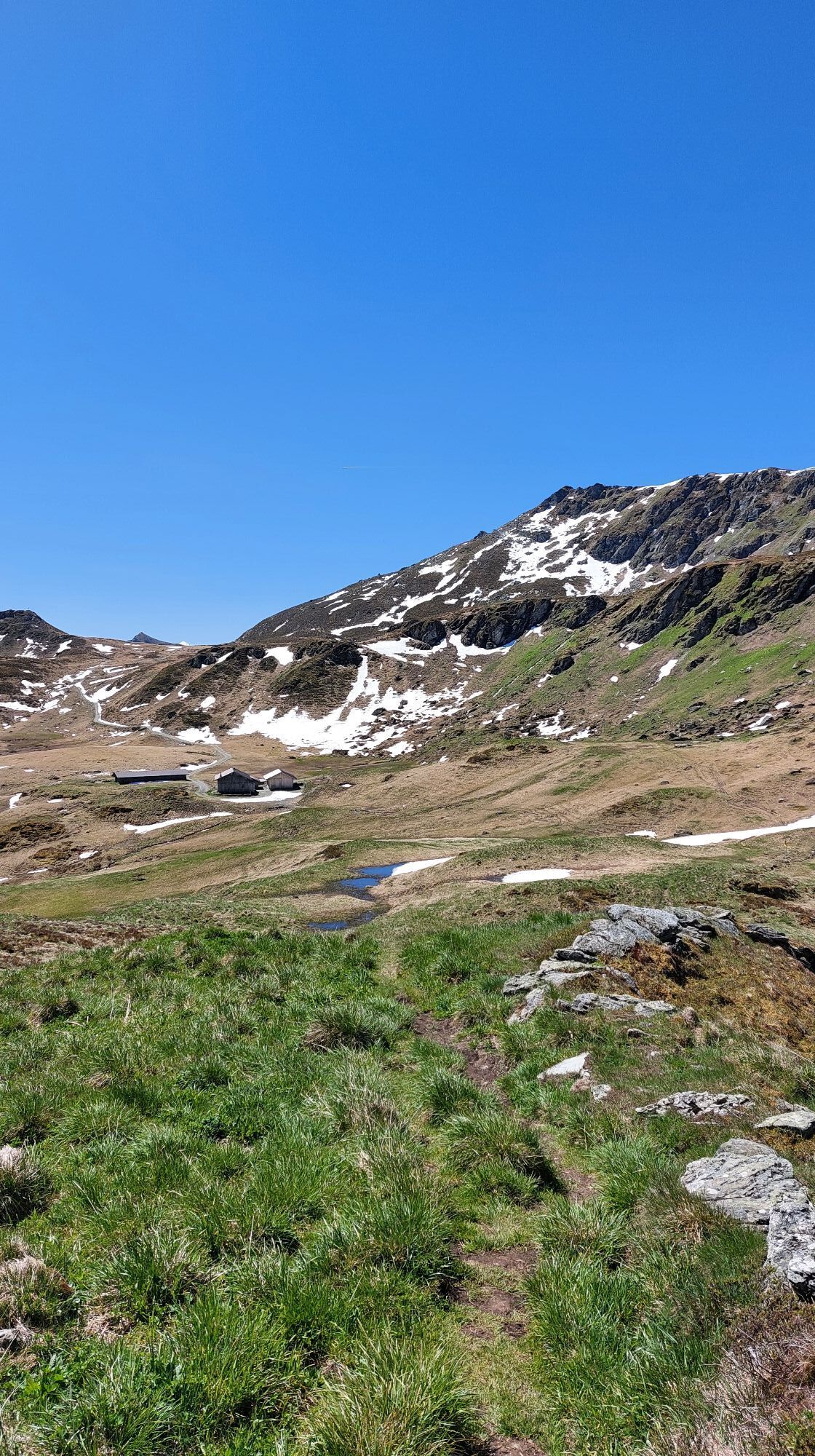
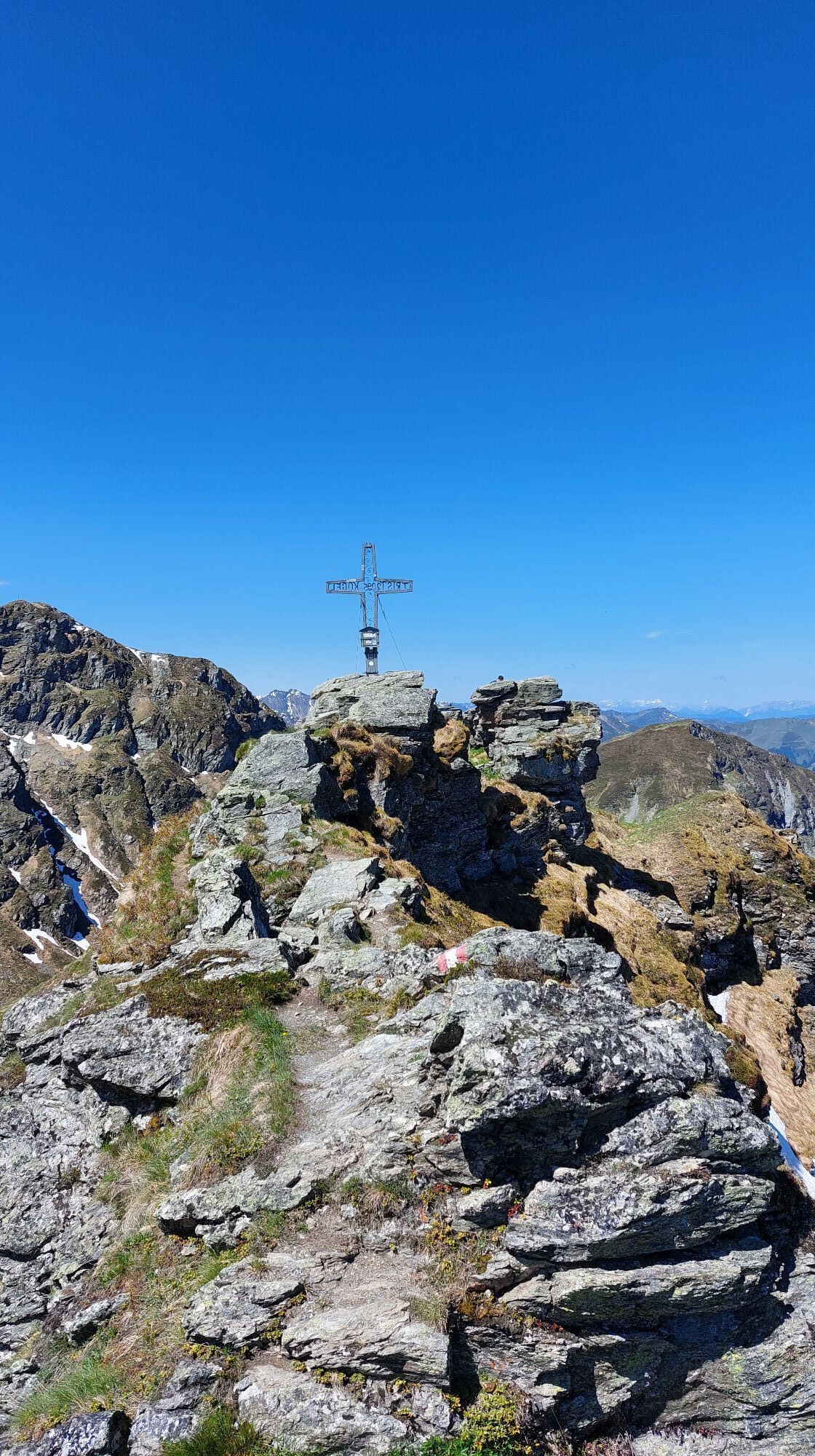
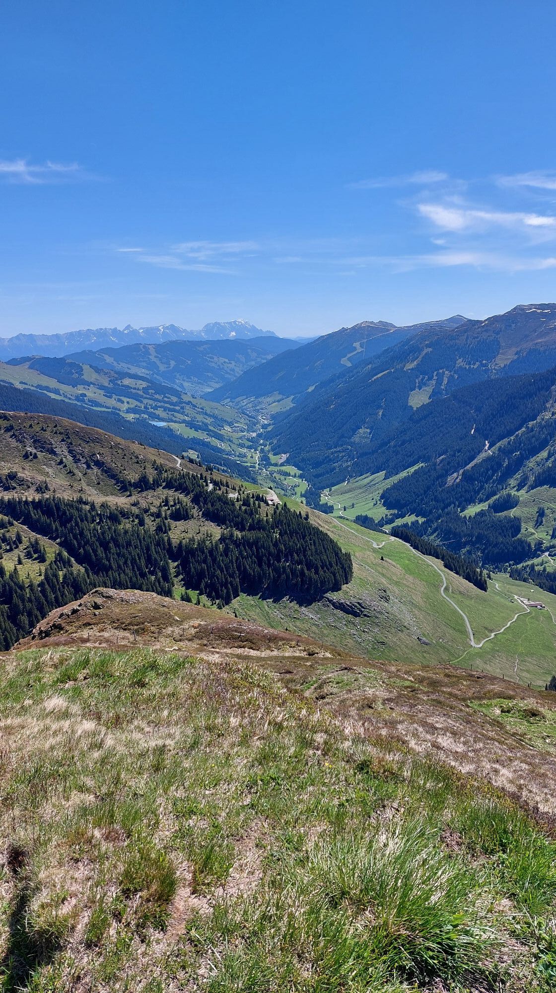


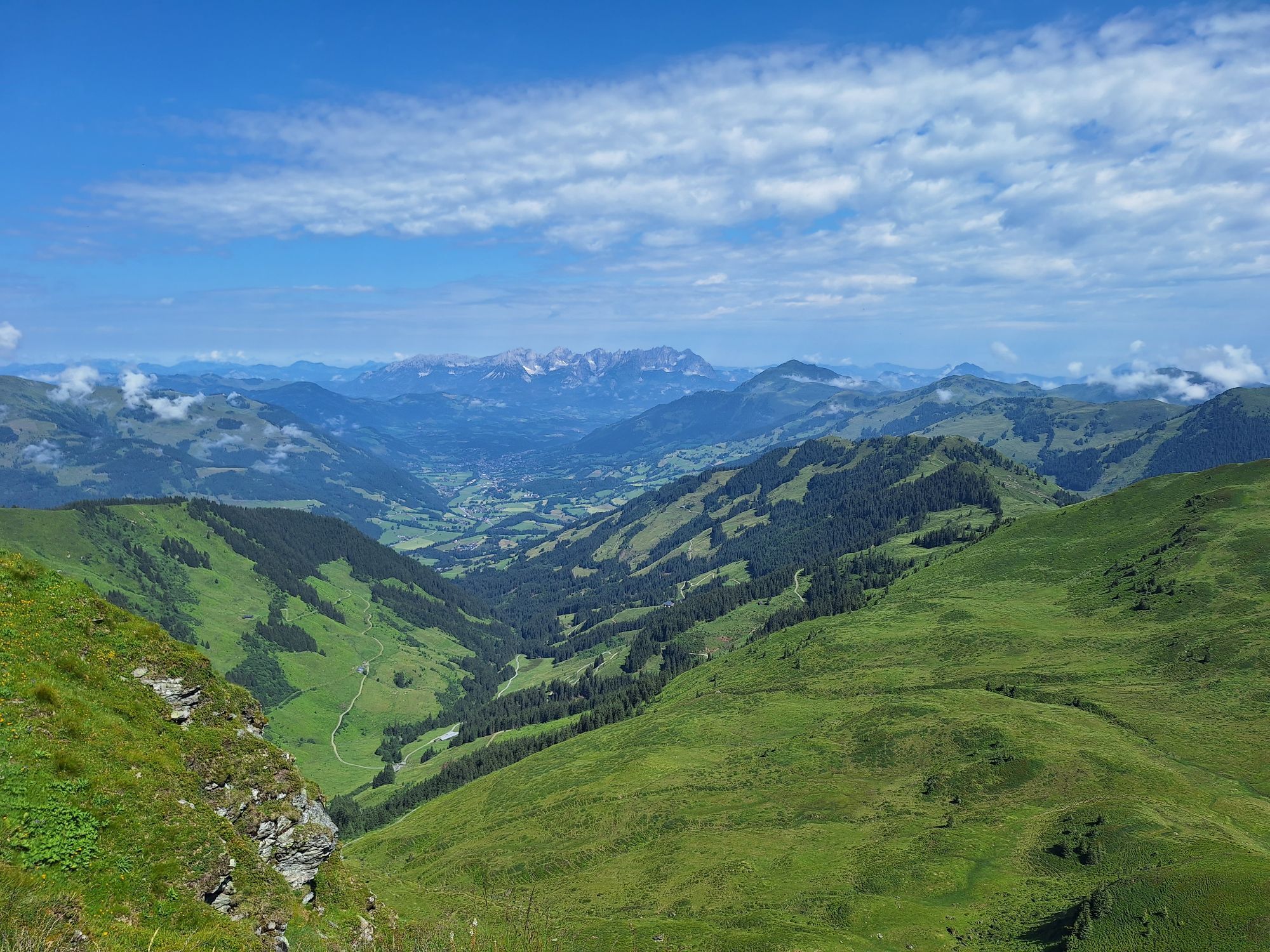
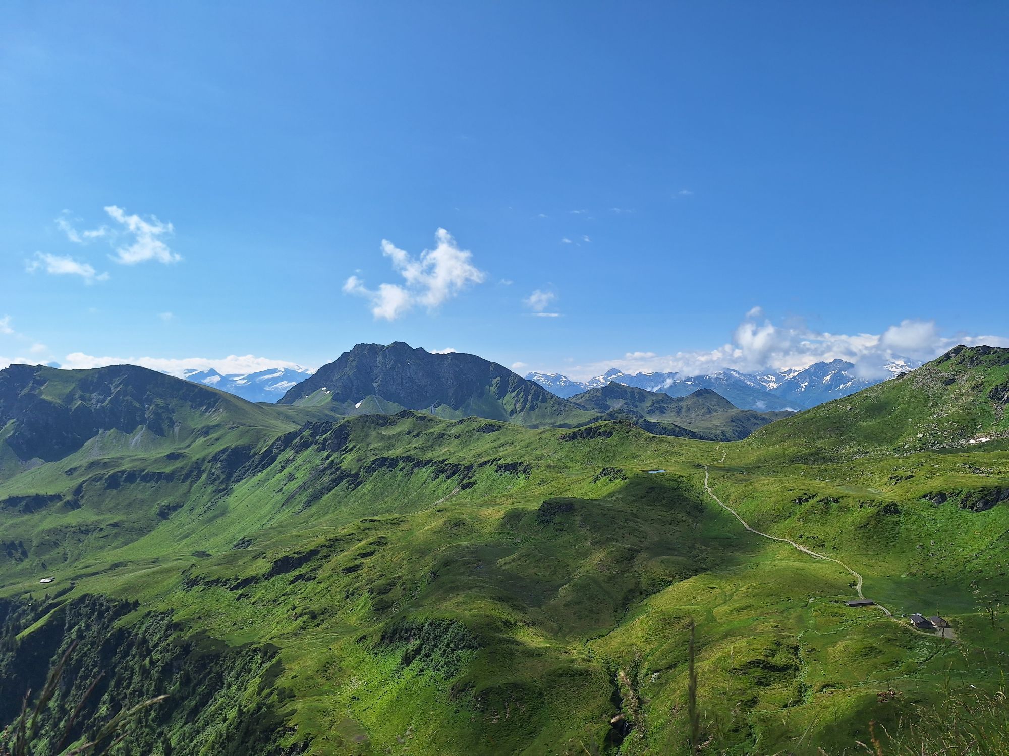
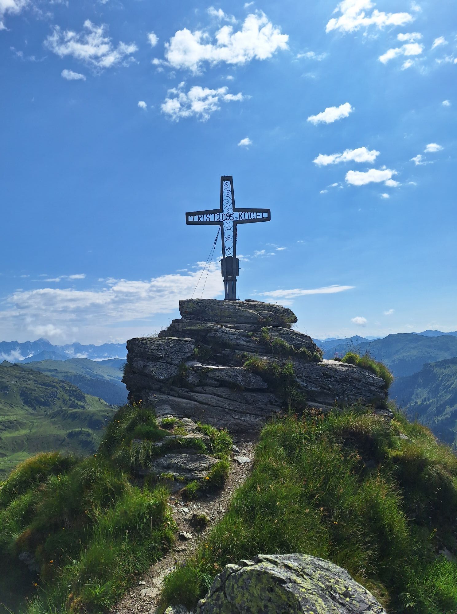
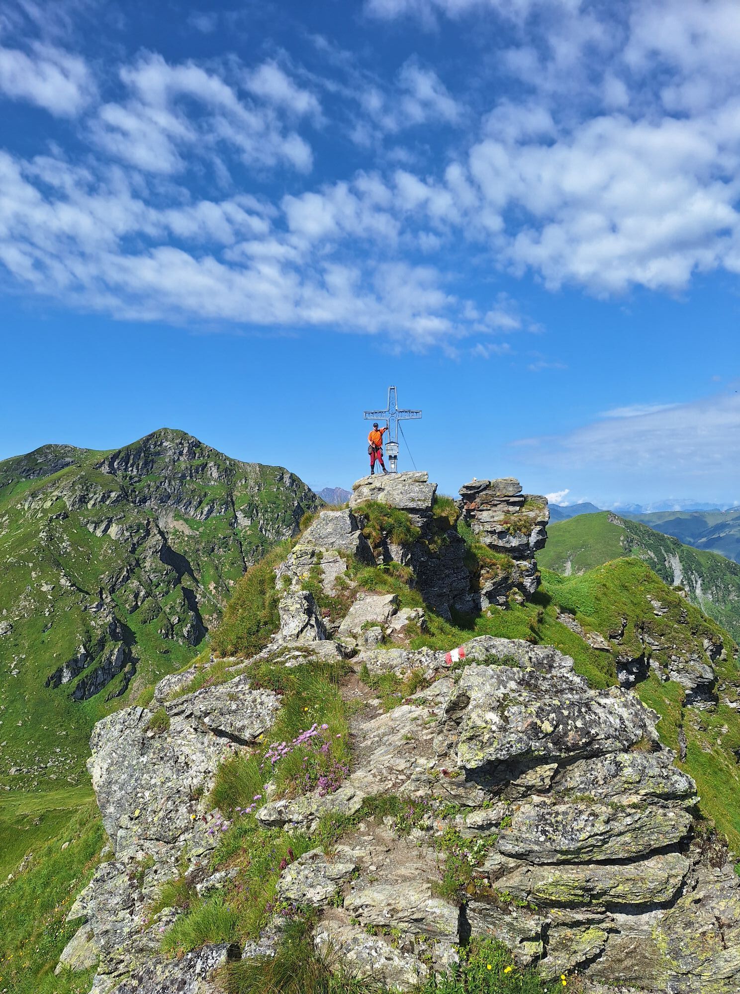

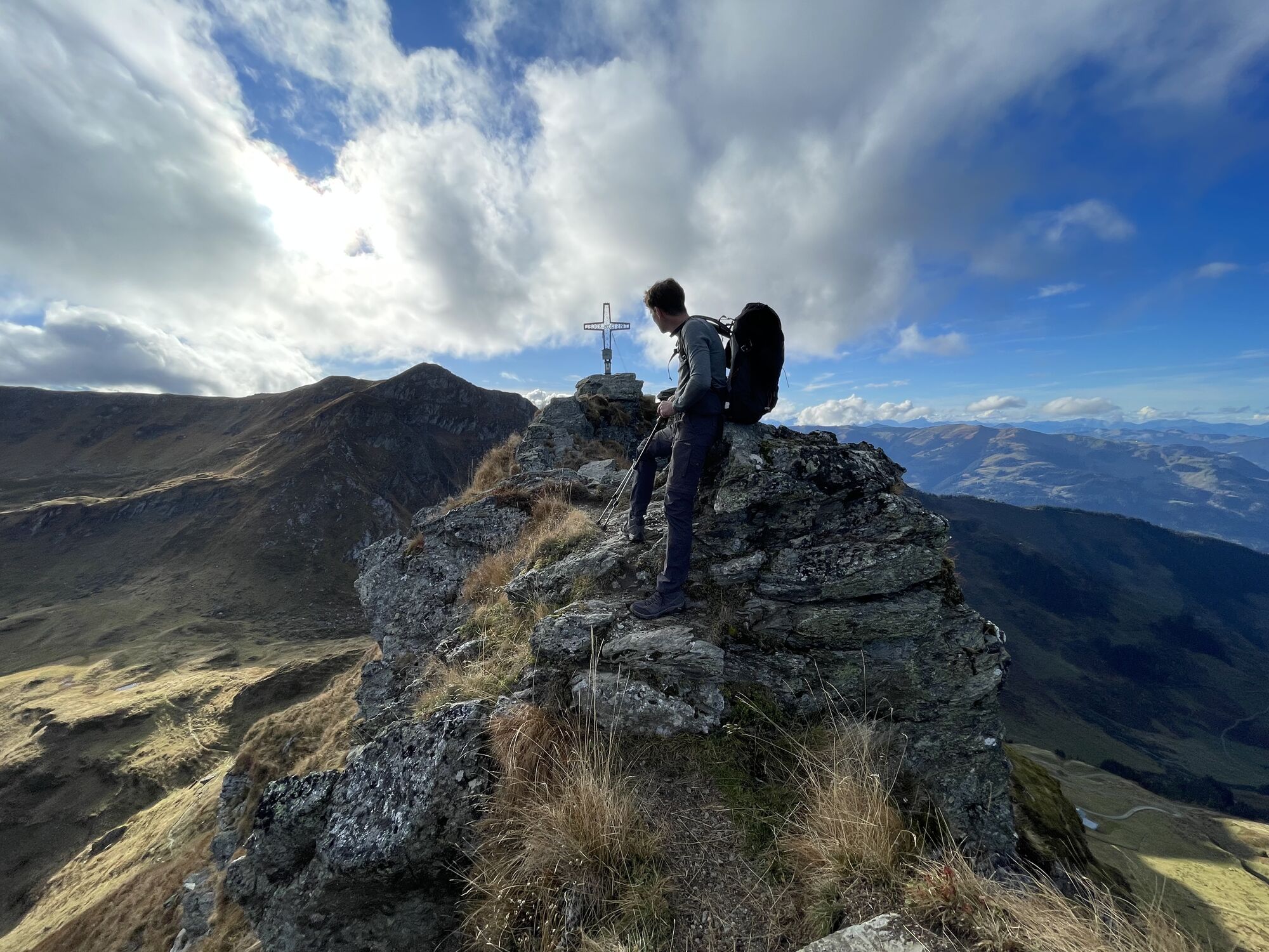


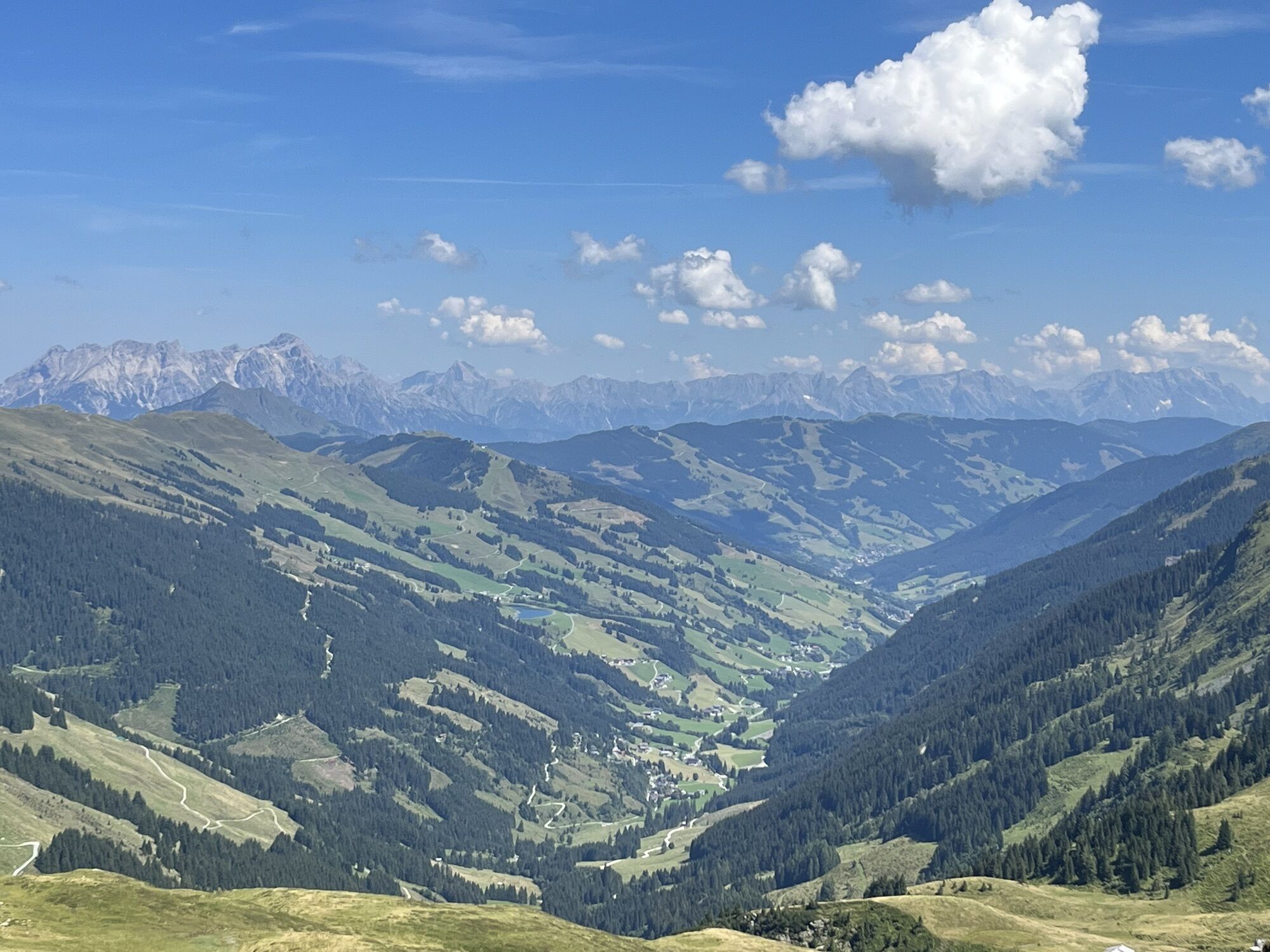
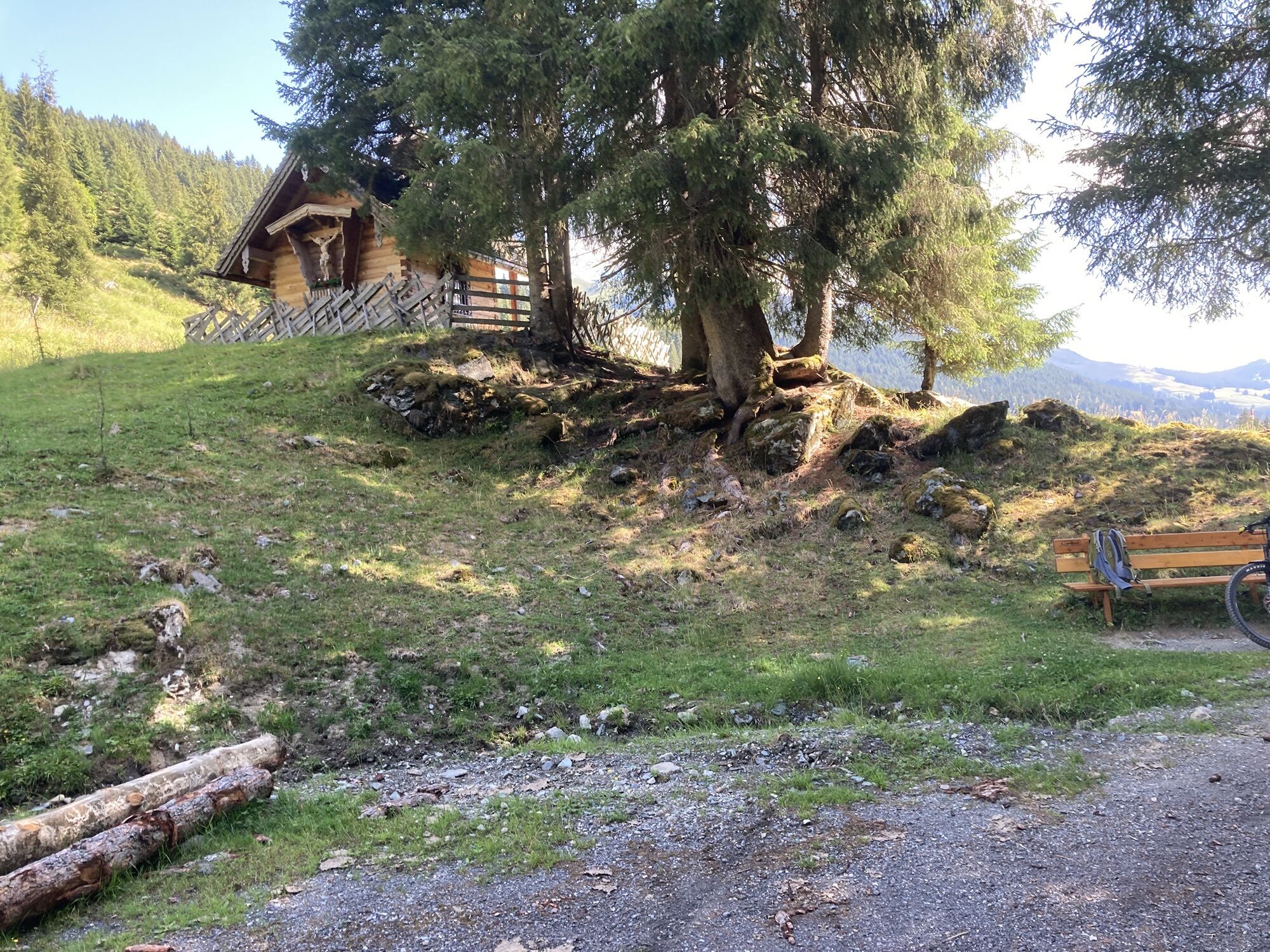
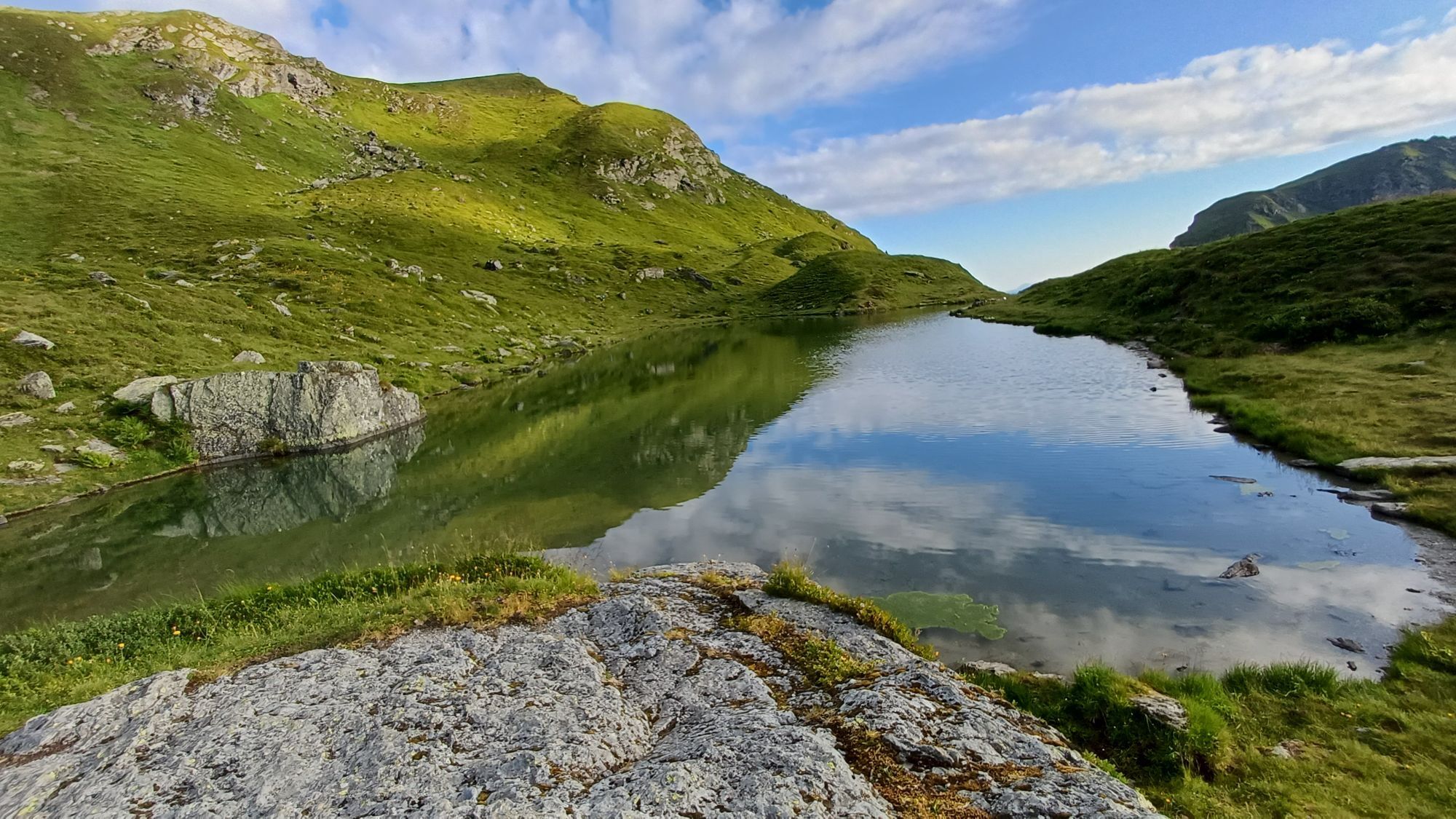
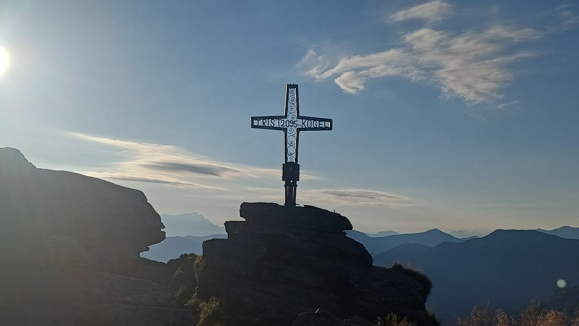
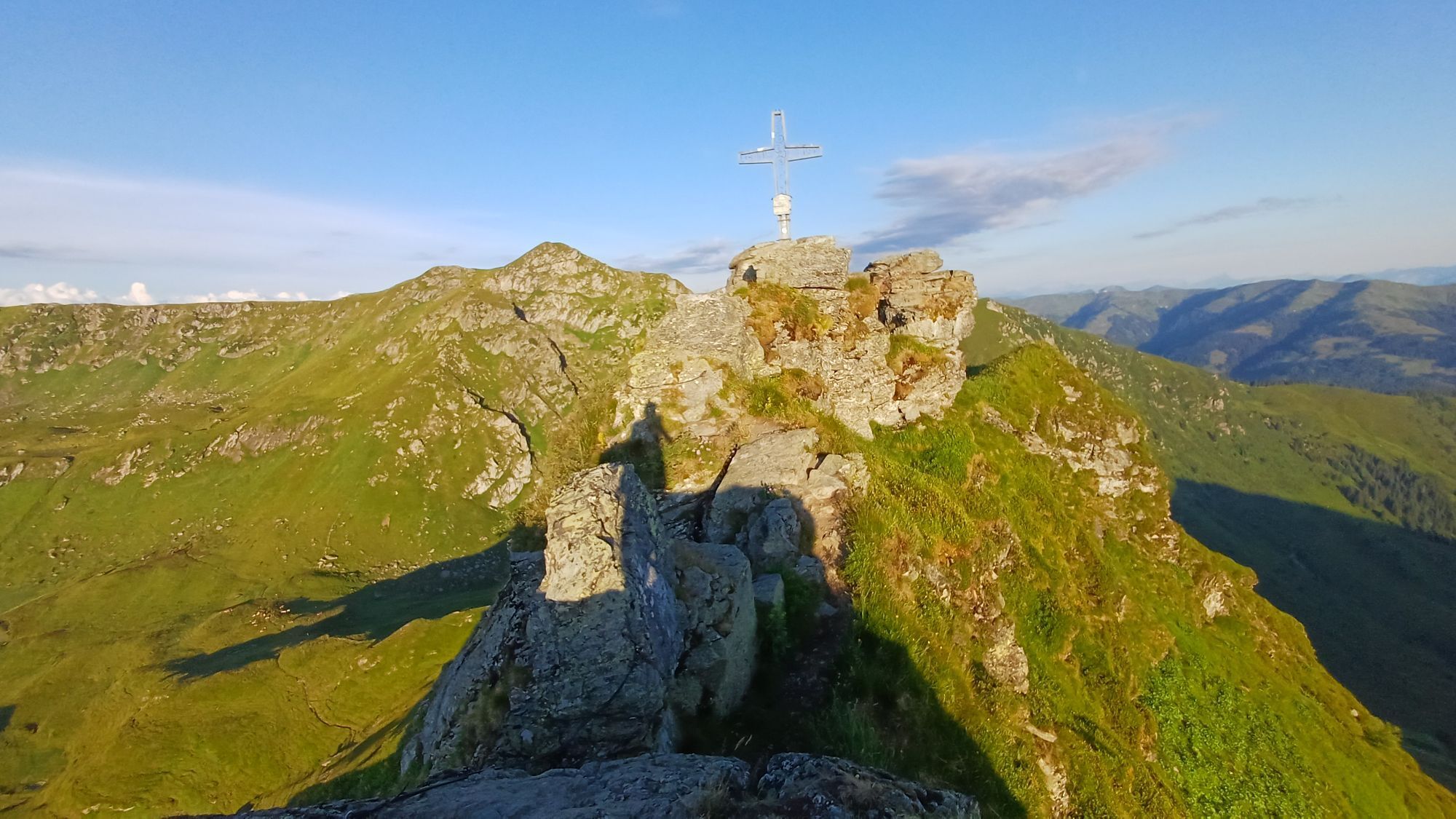

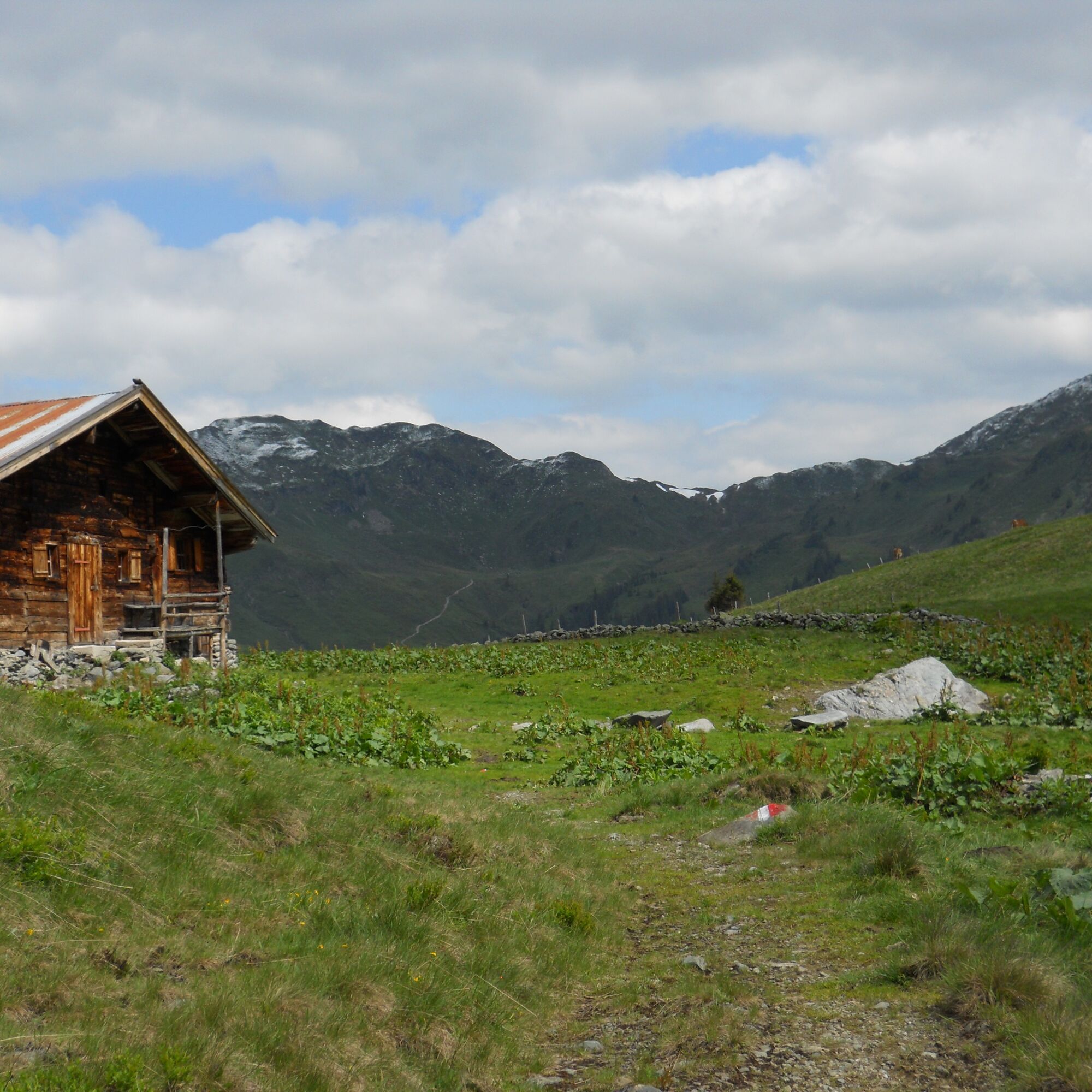
From Lindlingalm via the well-marked path past Ossmannalm to Saaljoch. The direct ascent to the summit is reserved for sure-footed and confident hikers.
After the summit crossing, descend to Tor and continue...
After the summit crossing, descend to Tor and continue via Pfandebenalm to Lindlingalm.
Did you know? Saalbach Hinterglemm has been awarded the ‘Hiking Seal of Quality’ by the organisation ‘Austria’s Hiking Villages’. This certificate requires a destination to meet strict quality standards in its hiking facilities and ensures that you’ll have a great time in the mountains.

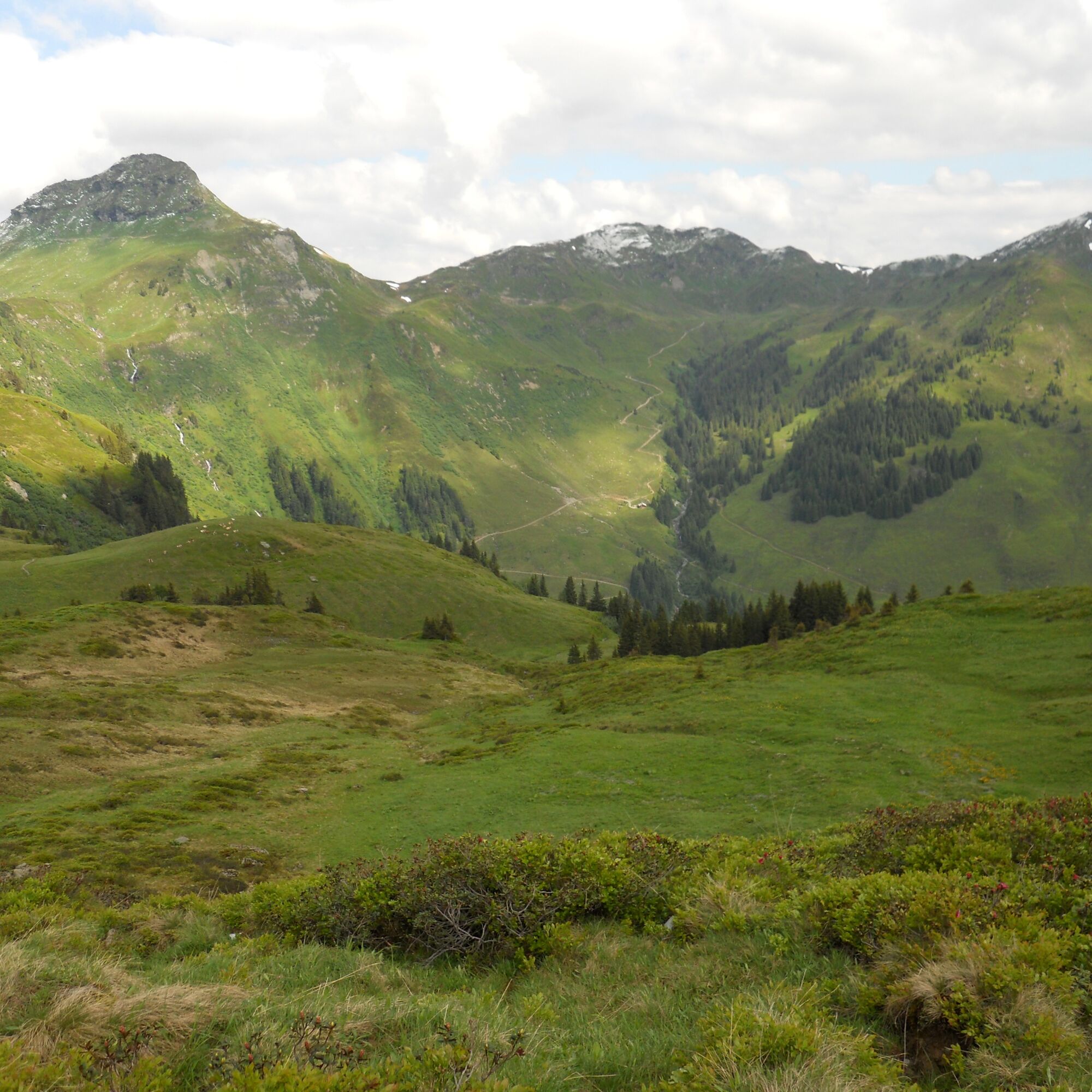
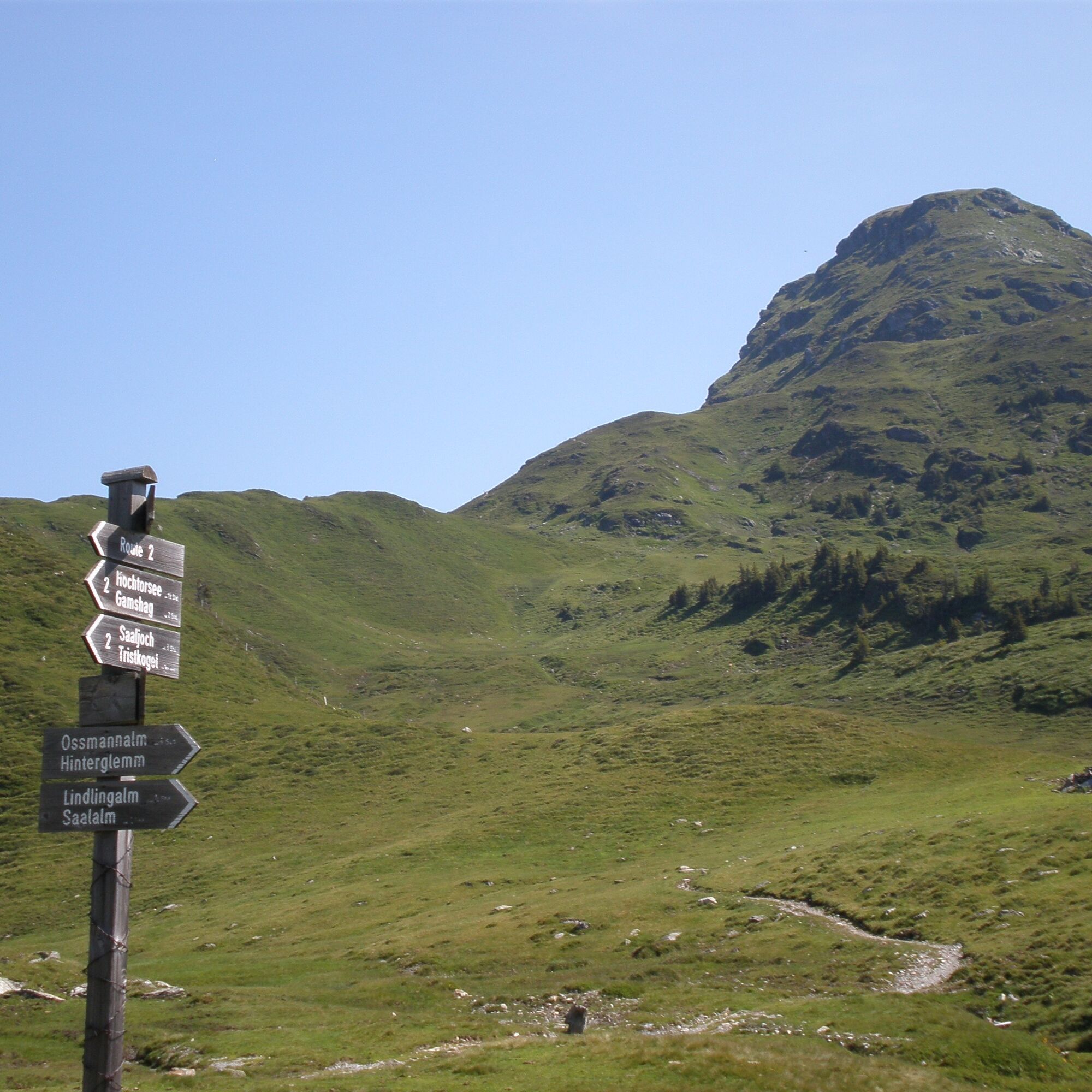
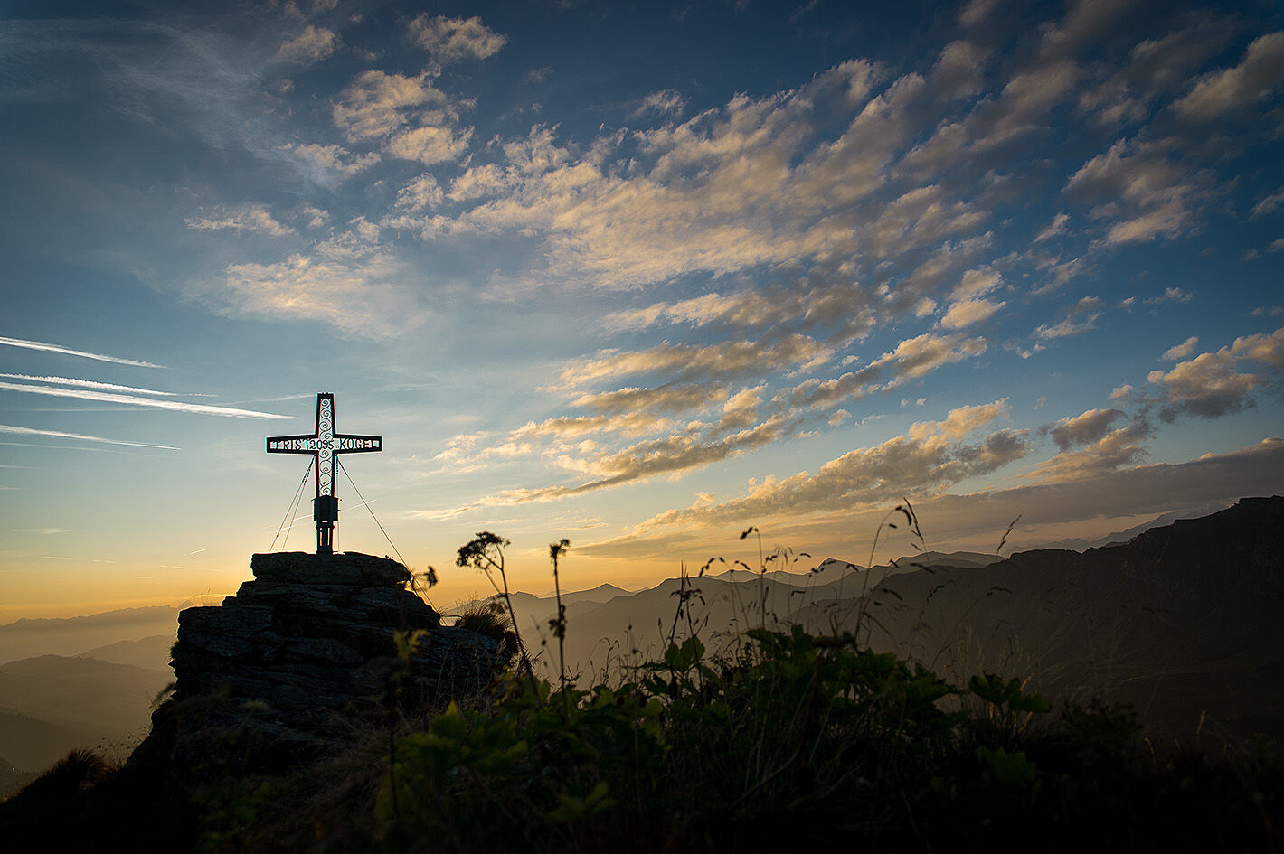
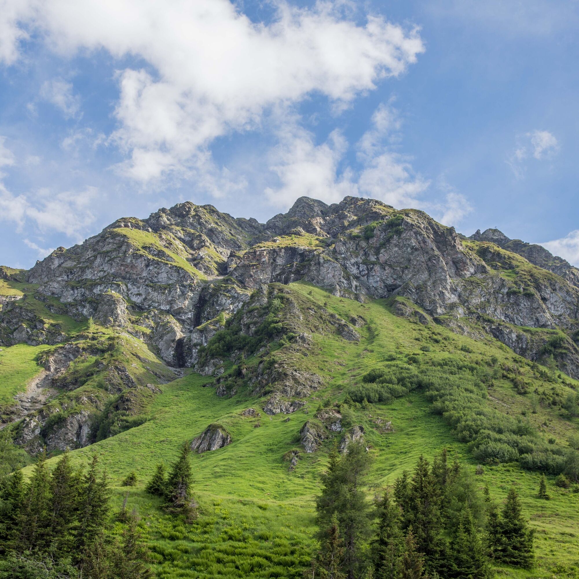
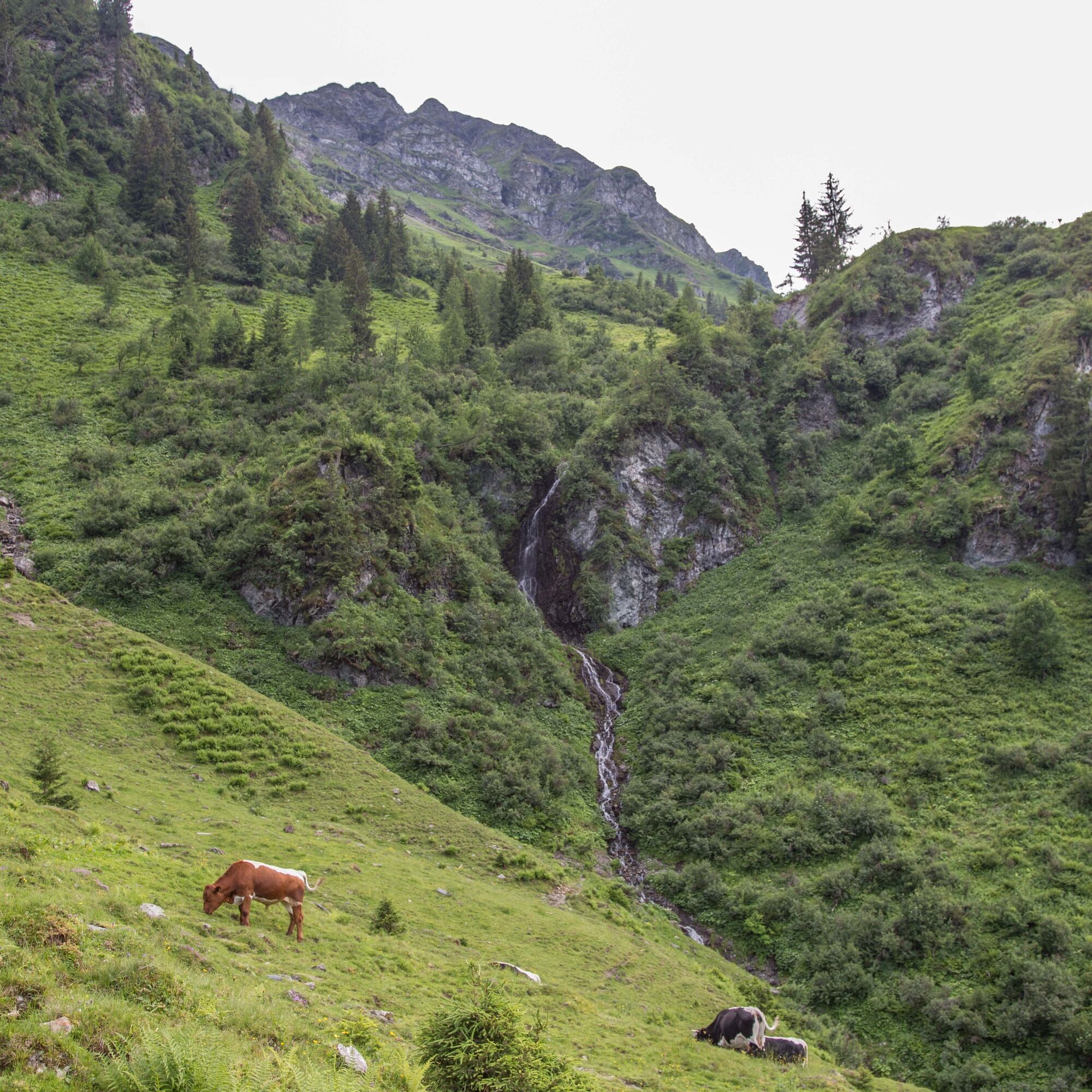

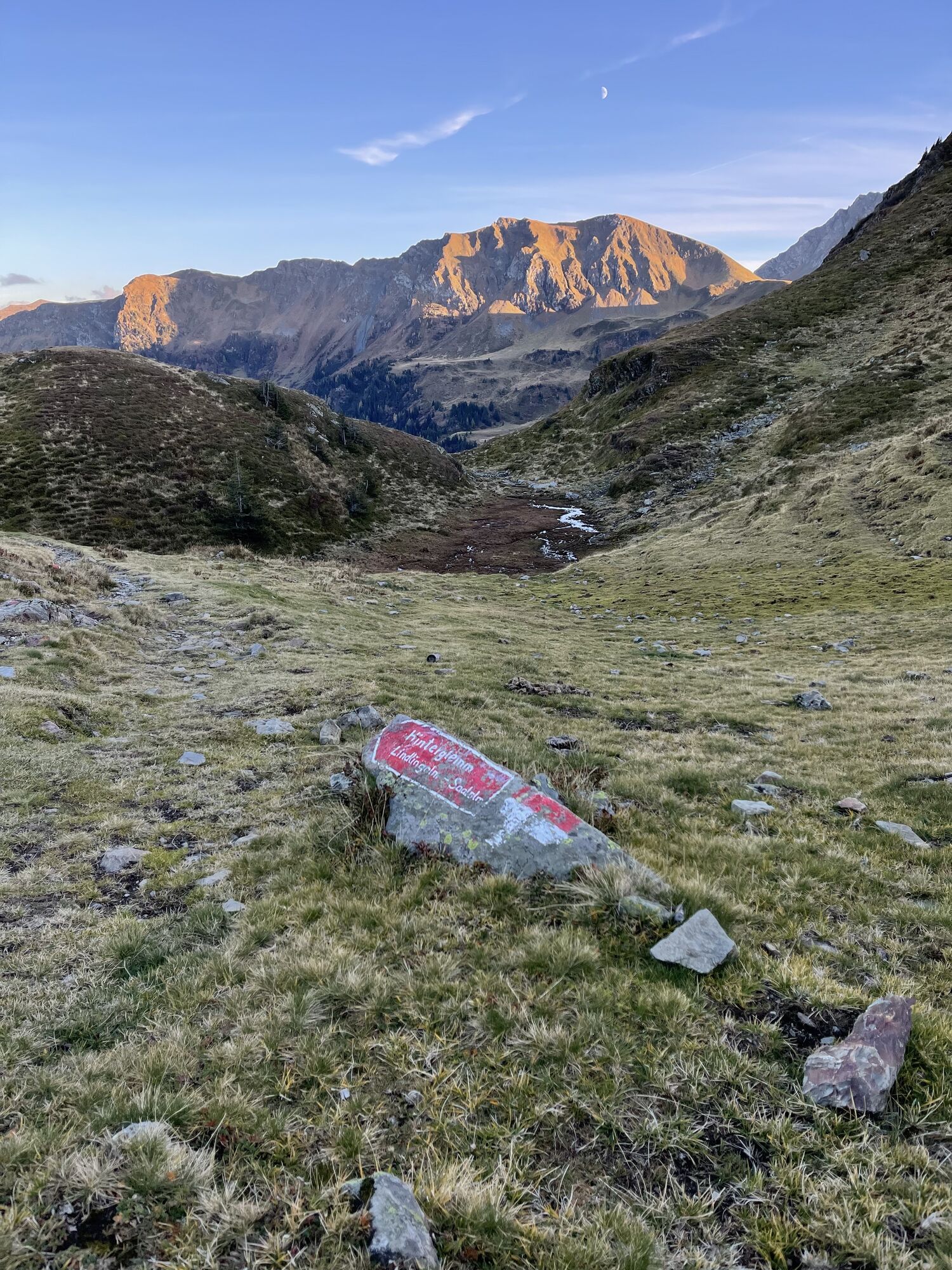
From here, follow the hiking trail signs uphill to Saaljoch.
The ascent of Tristkogel can be done either via the direct climb, which requires some sure-footedness,
or by the normal route.
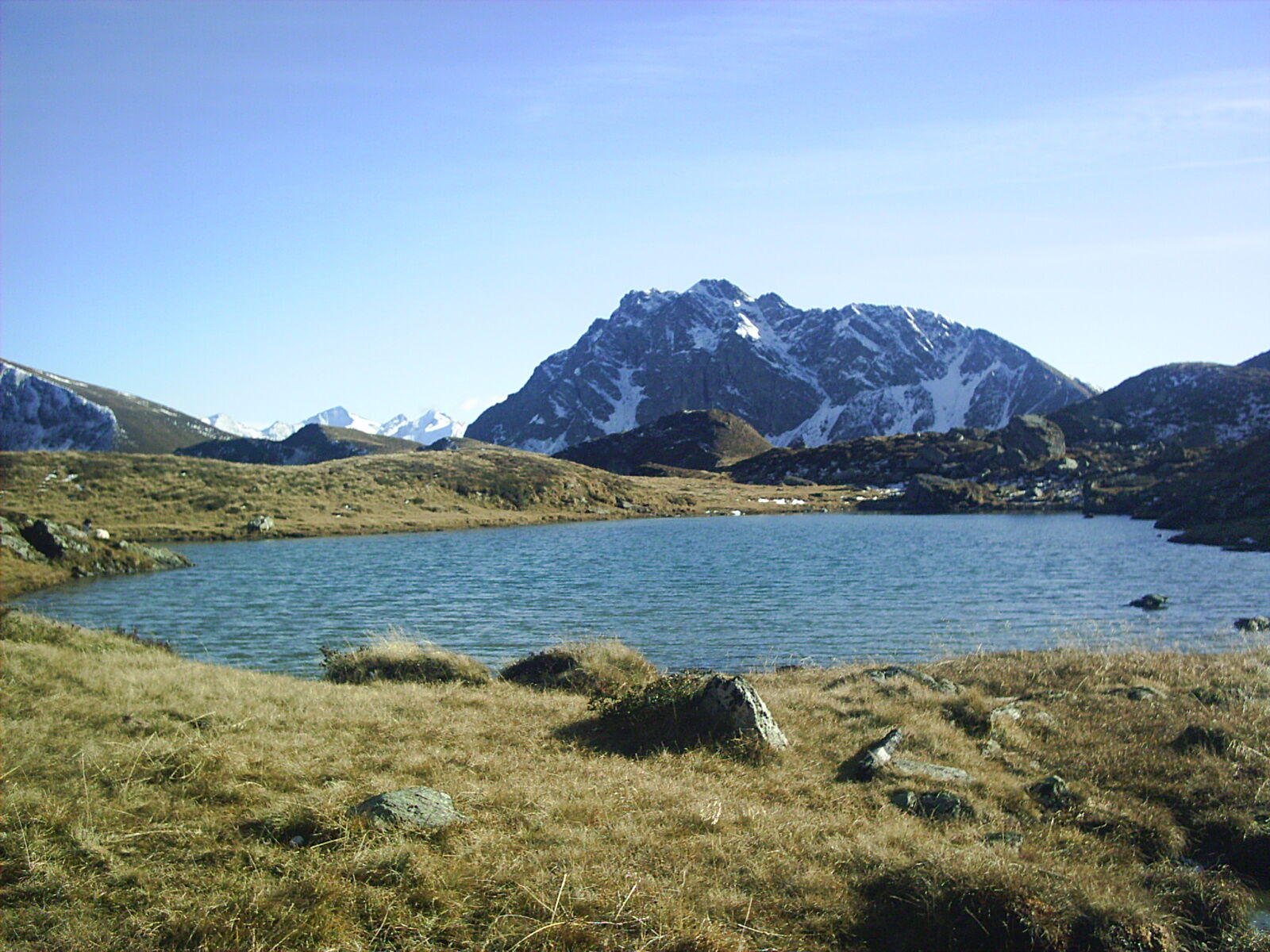
Now you can either descend immediately via Pfandeben or continue hiking to Hochtorsee and Gamshag.
For the descent, you can also take the path via Mittagskogel to Schusterscharte and further to Lindlingalm.
Da
Plenty of provisions, as Toralm is not always open.
The direct climb to Tristkogel requires some sure-footedness.
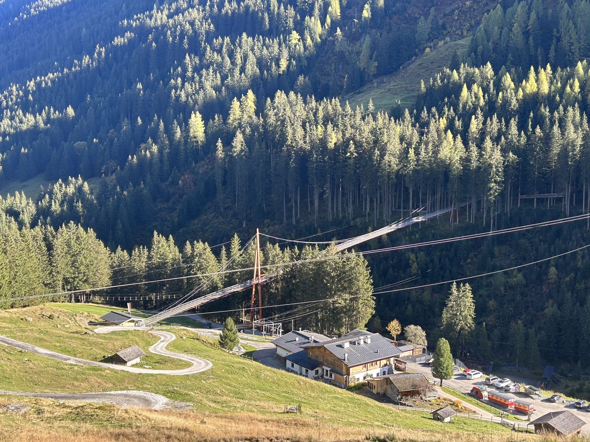
Walk from Lengau to Lindlingalm about 30 minutes, or take the valley shuttle train.
http://www.postbus.at/de/Fahrplanauskunft/index.jsp
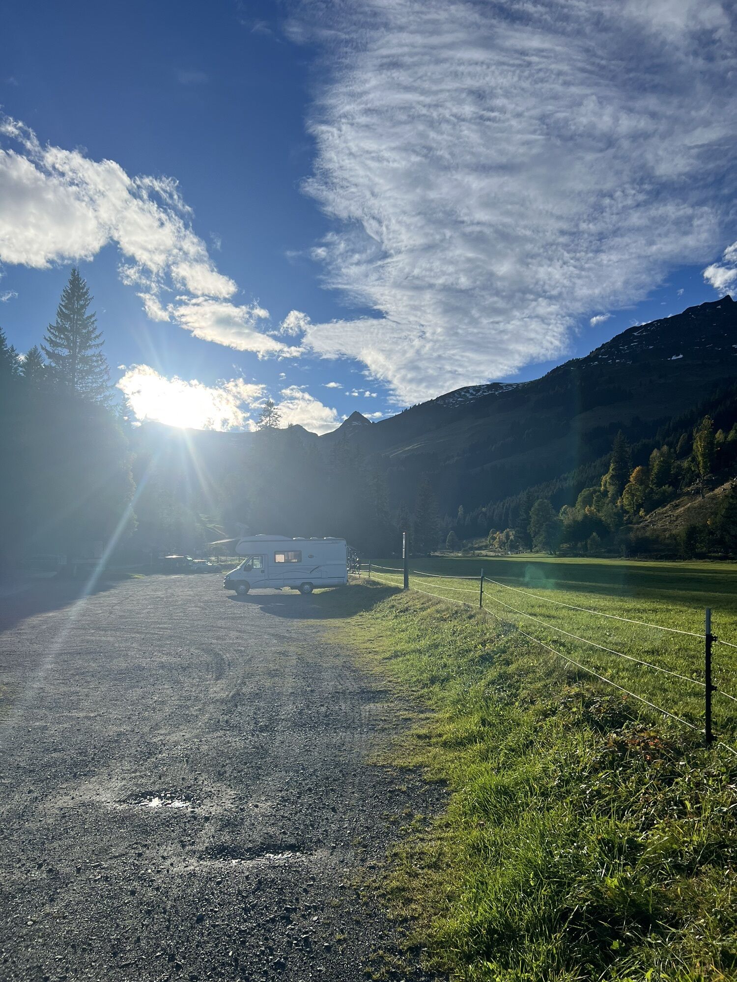
Free parking available about 200 m past Hotel Lengauerhof
From Lengau to Lindlingalm and back, you can also use the valley shuttle train during operating hours.
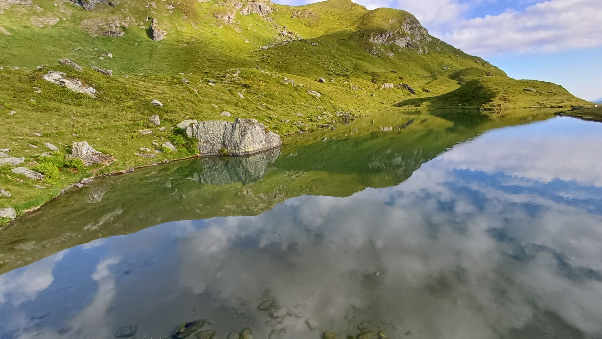
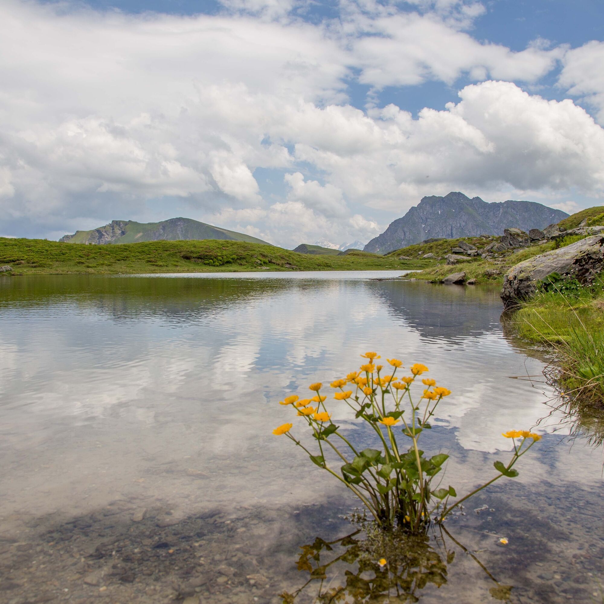
This route can be extended by visiting the picturesque Hochtorsee.

Spletne kamere s turneje
Pridobite vpogled
Vedno v živo na mestu z več kot 9.500 spletnimi kamerami. bergfex Kot uporabnik Pro si lahko zdaj ogledate ustrezne spletne kamere za številne izlete v aplikaciji izleti iz. Tako si lahko neposredno ogledate trenutne razmere.
Priljubljeni izleti v okolici
-
4.4
Kitzbüheler Horn über Horn-Gipfel-Höhenweg
srednjaPohodništvo 5.30 km -
4.8
Streif Wanderweg
srednjaPohodništvo 5.73 km -
4.6
St. Johann in Tirol: Wasserfall & 3 Seen am Kitzbüheler Horn
srednjaPohodništvo 12.7 km -
4.1
Panoramarundweg am Hahnenkamm
svetlobaPohodništvo 3.02 km -
4.4
Kitz Bhf- Kitzbühler Horn und zurück zum Alpenhaus
srednjaPohodništvo 11.8 km -
4.6
Panorama route 3 peaks and 2 lakes
srednjaPohodništvo 7.21 km -
3.9
Hollersbach: Pihapper path no. 935
težkoPohodništvo 12.8 km -
4.9
Manlitzkogel
težkoPohodništvo 13.4 km -
3.6
Mittersill: Raised bog Wasenmoos path no. 77
svetlobaTematska pot 7.06 km -
4.8
Fieberbrunn- Wildseeloderhaus- Rund um die Henne/Hochhörndlehütte
srednjaPohodništvo 8.02 km
Pohodništvo in sledenje


Ne zamudite ponudb in navdiha za naslednje počitnice
Vaš e-poštni naslov je bil dodan na poštni seznam.





