


10D Hochsonnbergrunde
Stopnja težavnosti: S0
Fotografije naših uporabnikov
-
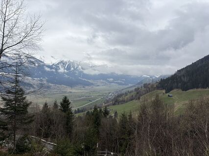
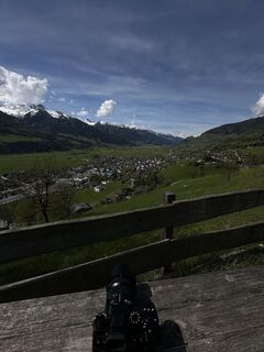
 © Peter De Smedt2Ustvarjeno na 04.04.2026
 -
 © Peter De Smedt2Ustvarjeno na 04.04.2026
 -
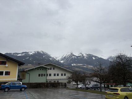
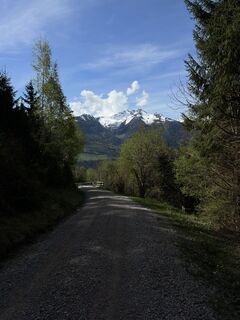
 © Daniella De WoldeUstvarjeno na 11.09.2025
 -
 © Daniella De WoldeUstvarjeno na 11.09.2025
 -
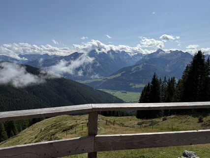
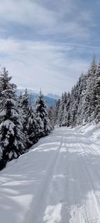
 © Željko BrčinaUstvarjeno na 27.04.2025
 -
 © Željko BrčinaUstvarjeno na 27.04.2025
 -

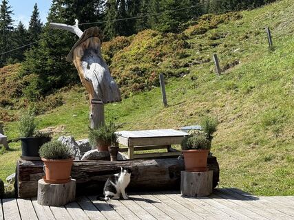
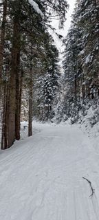
 © AnnaUstvarjeno na 22.01.2023
 -
 © AnnaUstvarjeno na 22.01.2023
 -
 © AnnaUstvarjeno na 22.01.2023
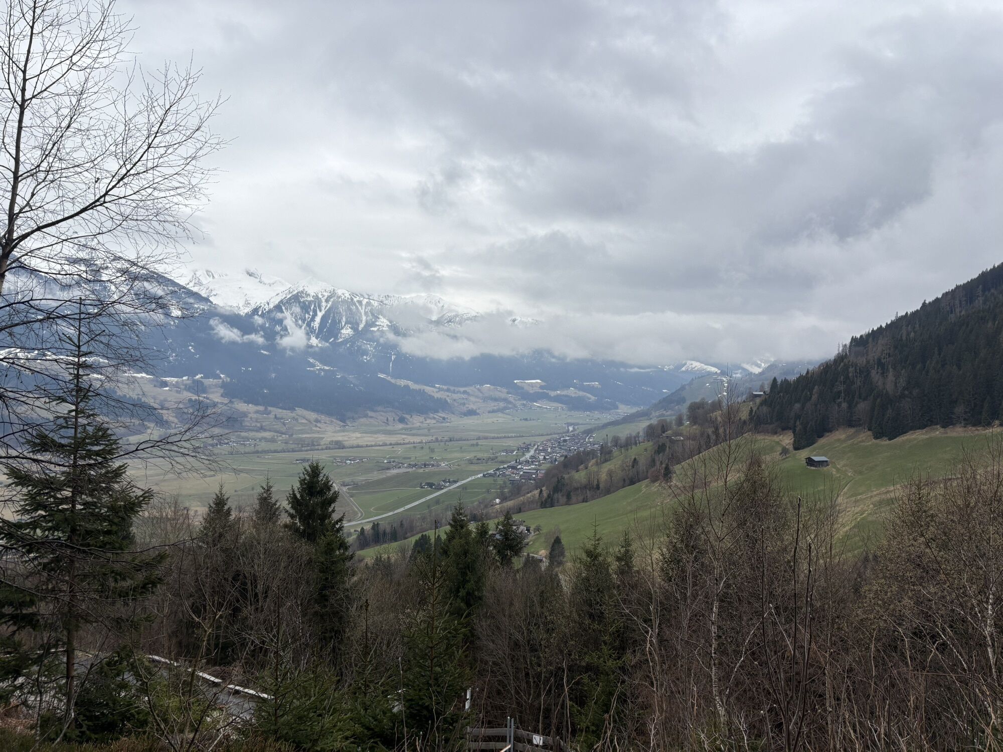
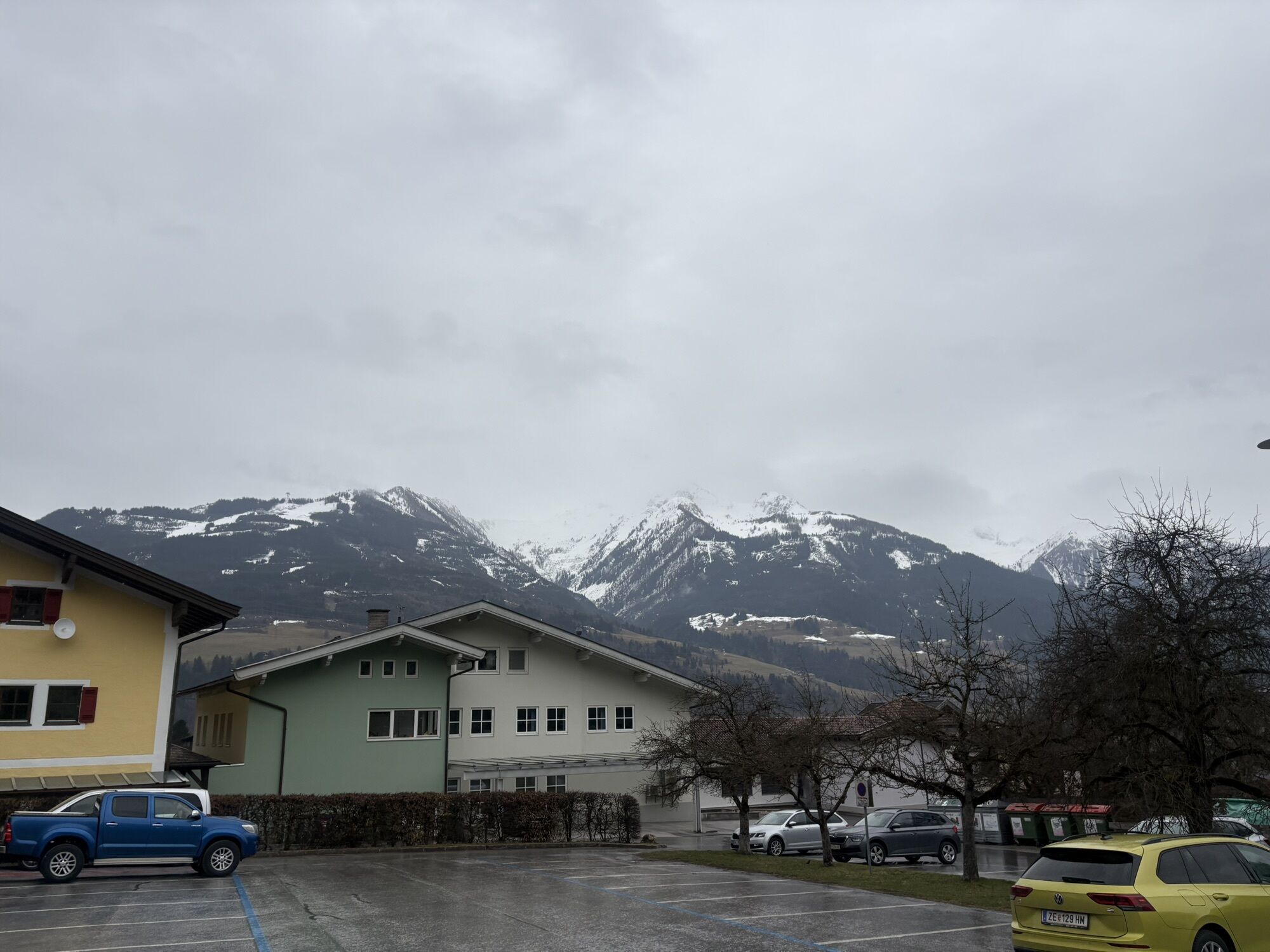


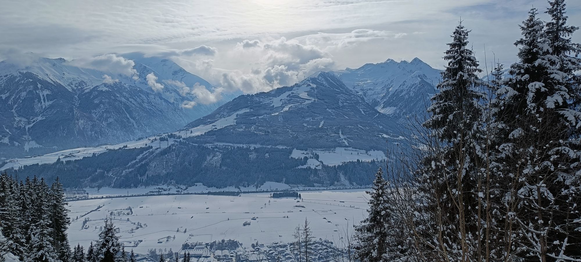
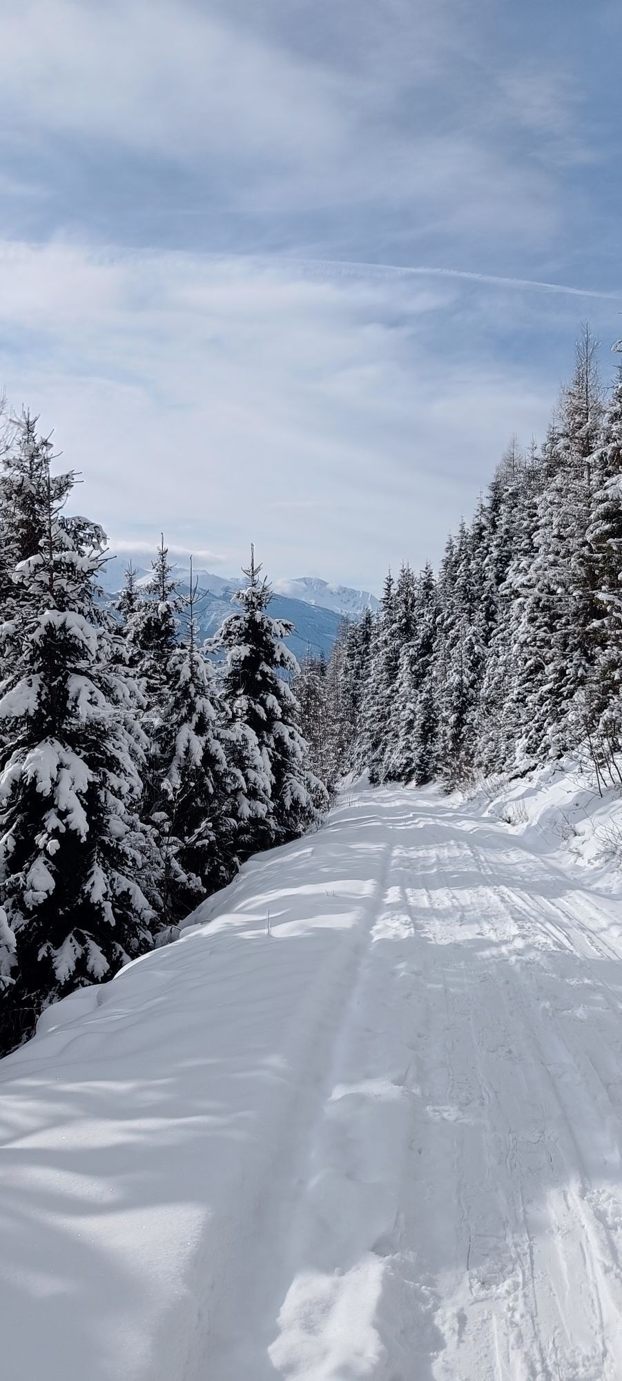
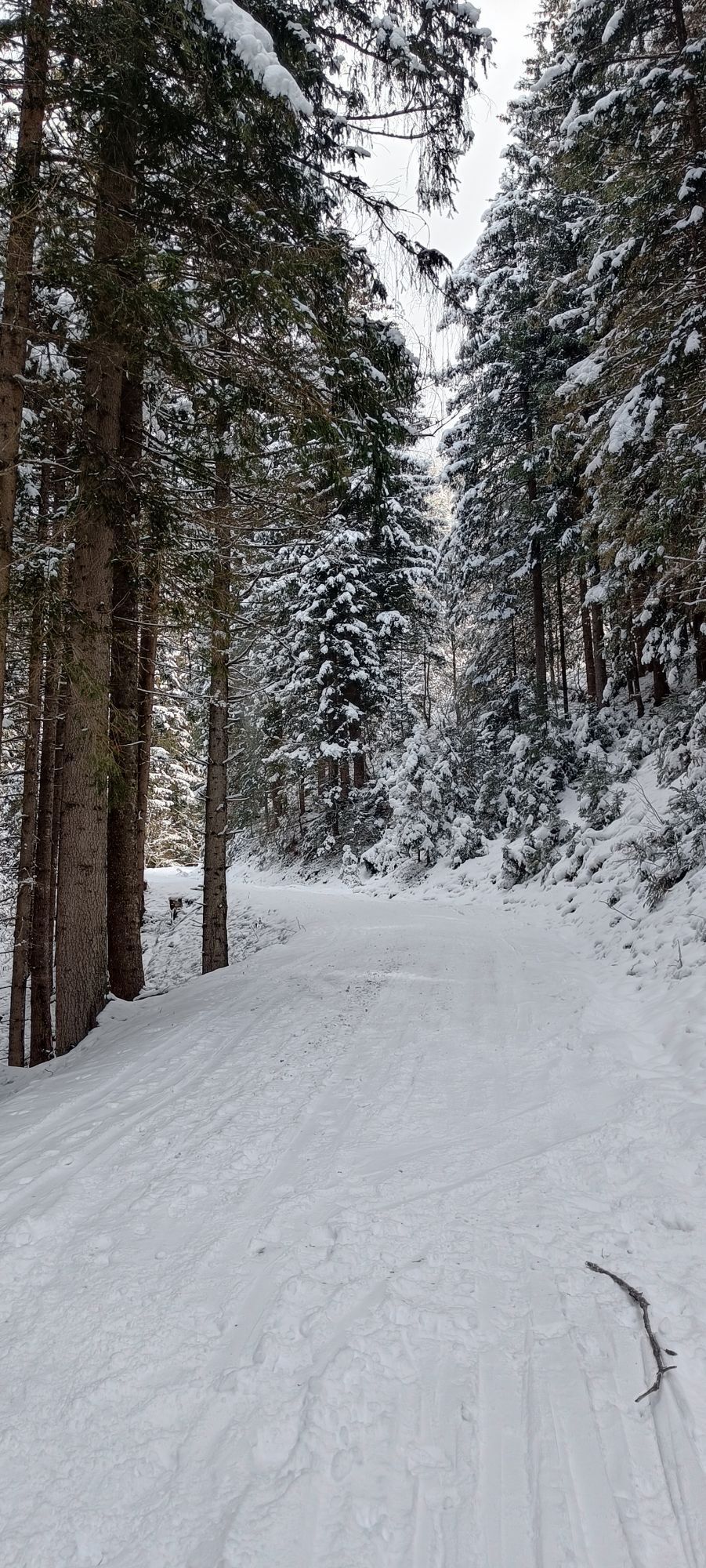
Starting in the centre of Piesendorf, you will ride via Walchen up to the sunny slopes of Hochsonnberg. The initial climb is steady on tarmac, after which you switch to a forest road at the barrier near...
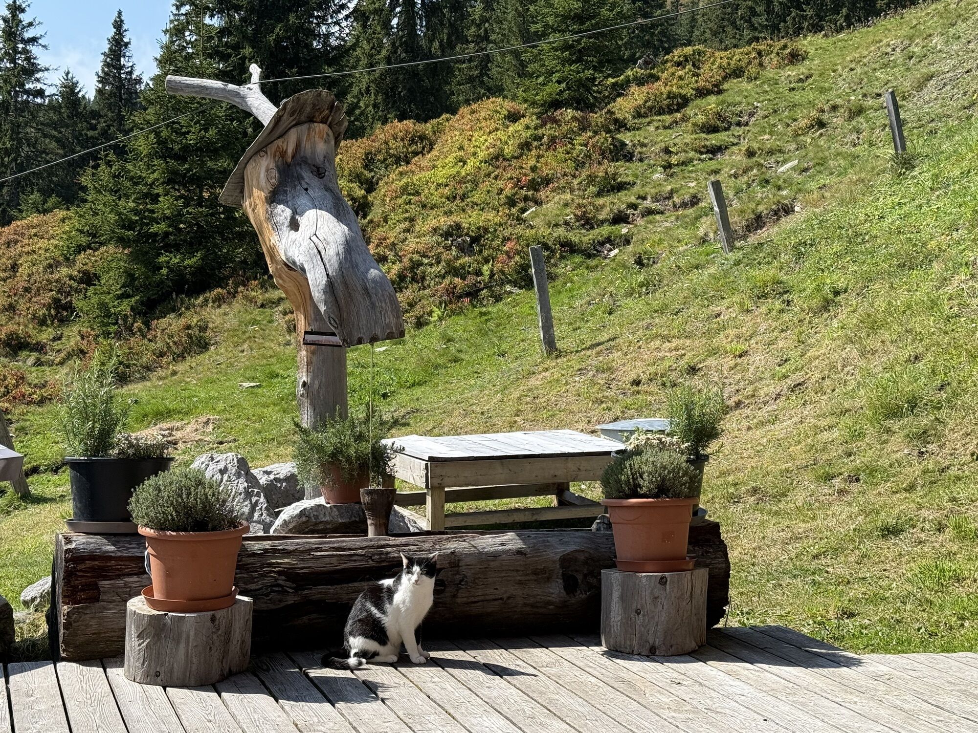
From the alpine hut, follow the high-altitude cycle trail towards the Pinzgauer Hütte. This beautiful section of the route features ancient woodland, flower-filled alpine meadows, small mountain ponds and uninterrupted views. Regional dishes are also served here. From the sun terrace, you can admire the peaks of the Hohe Tauern, and on clear days you can see as far as the Grossglockner.
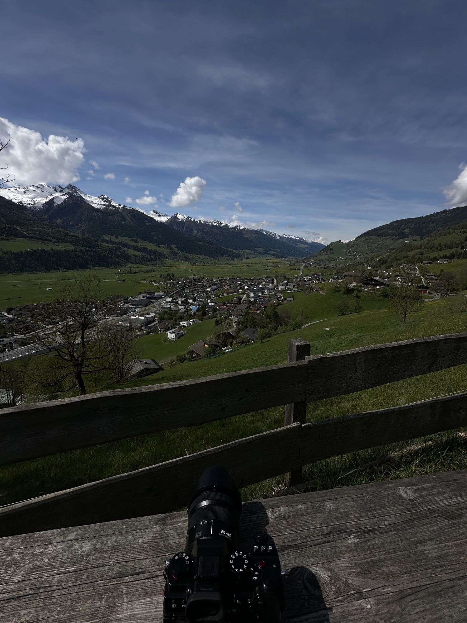
The return journey takes you downhill via Wengerberg on a forest road back to Piesendorf. This is a physically demanding route along well-maintained forest roads.
Please note that at Pinzgauer Hütte, you can charge your e-bike using your own charging cable.

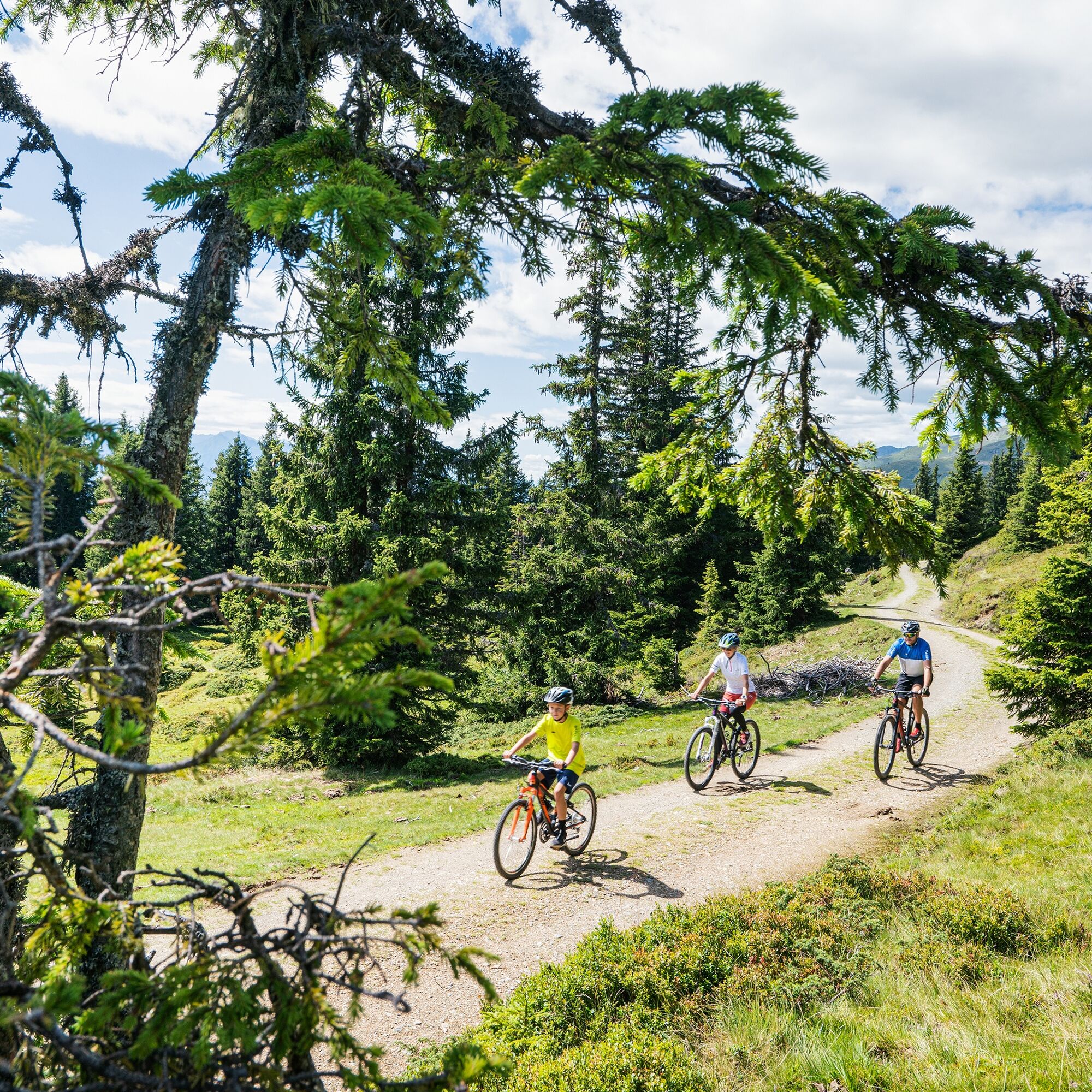
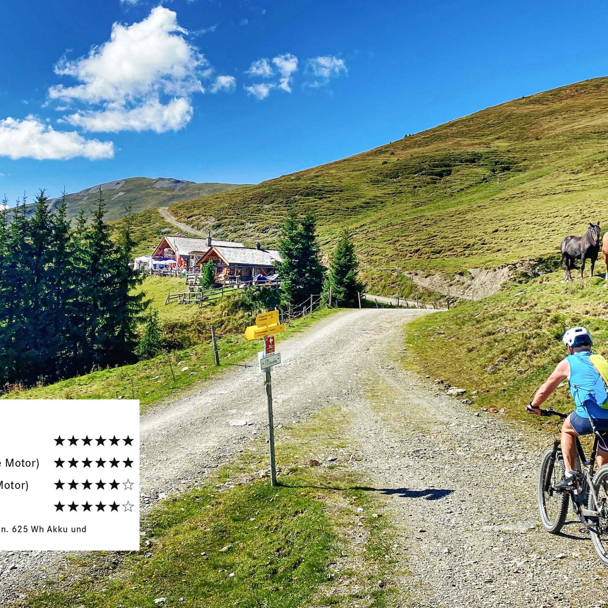
Start in the centre of Piesendorf and follow the road and cycle path westwards to the church in Walchen. Turn right there and continue uphill via Skiliftstraße and Rohrerberg towards Naglbauer. At the last bend before Naglbauer, bear right and continue to the barrier at Mittereckbauer. Here, the forest road (MTB 10B) begins. Follow this in steady switchbacks up to Hochsonnbergalm. From there, the high-altitude cycle trail continues to the Pinzgauer Hütte. Shortly before reaching the hut, you have the option to turn left towards Schmittenhöhe and extend the tour with an additional scenic section. The descent follows the forest road (MTB 10C) downhill via Wengerberg back to the centre of Piesendorf.
Suitable for the following bike types:
E-MTB* âï¸âï¸âï¸âï¸âï¸âï¸ from 6* XC hardtail (lightweight mountain bike without motor) âï¸âï¸âï¸âï¸âï¸âï¸ from 6* Full-suspension mountain bike (without motor) âï¸âï¸âï¸âï¸âï¸ from 6* Gravel bike âï¸âï¸âï¸âï¸âï¸ from 6**E-MTB: Rating based on the following requirements: minimum 625 Wh battery capacity and motor torque ot at least 70 Nm.
ð« Please stay on the marked routes at all times.
ð¯ Take a litter with you and do not leave anything in nature.
Only by acting responsibly can we preserve the forest and alpine pastures as places for recreation, as habitats, and as workplaces. Your behaviour directly influences public acceptance, so please ride considerately.
ð By bus: Bicyle transport is not available on regional bus services.
For longer stays (several days), please inform the municipal office.
S0
ð² Google Play Store
ð² App Store
Or visit: piesendorf-niedernsill.at
Starting early is highliy recommended to enjoy a peaceful climb and breakfast in the mountains, with clear, panoramic views of the Hohe Tauern.

Priljubljeni izleti v okolici
-
4.5
Sigmund Thun Klamm
svetlobaPohodništvo 3.10 km -
4.3
Bruck: 732+736+730 | Drei Brüder
težkoPohodništvo 16.1 km -
4.1
Schwalbenwand Nr. 80, 81, 82
srednjaPohodništvo 13.0 km -
4.8
Sigmund Thun Klamm, Klammsee, Bürgkogel
svetlobaPohodništvo 4.56 km -
4.7
Fusch: Gleiwitzer Hütte
težkoPohodništvo 8.26 km -
4.5
Hoher Tenn mit Bergspitze 3.368m, Schneespitze 3.317m, Kleiner Tenn 3.158m, Bauernbrachkopf 3.125m, Kempsenkopf 3.090m, Imbachhorn 2.470m, Rettenzink 2.510m & Rosskopf 1.999m
težkoVisokogorska tura 31.8 km -
5.0
Manlitzkogel
težkoPohodništvo 13.4 km -
4.4
Thumersbach, Runde um den Zeller See
svetlobaPohodništvo 13.3 km -
4.2
Saalachtaler Höhenweg EAST (Asitz - Biberg)
srednjaPohodništvo 13.1 km -
4.0
Berg der Sinne
svetlobaPohodništvo 4.39 km

Pohodništvo in sledenje


Ne zamudite ponudb in navdiha za naslednje počitnice
Vaš e-poštni naslov je bil dodan na poštni seznam.