






HOHE TAUERN PANORAMA TRAIL | ET08: Hochsonnbergalm | Bürglhütte-Uttendorfer Hochsonnbergalm/Uttendorf
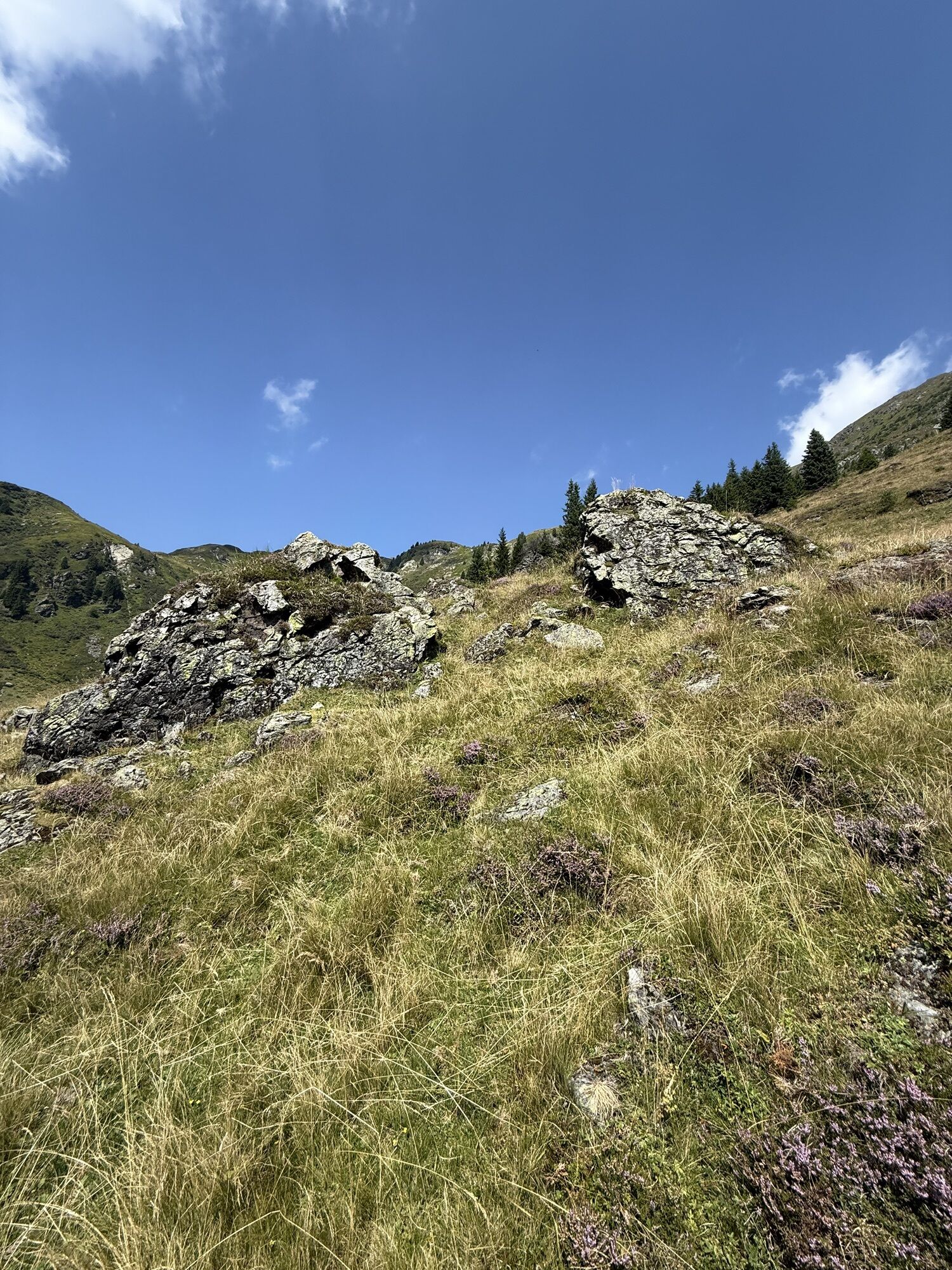
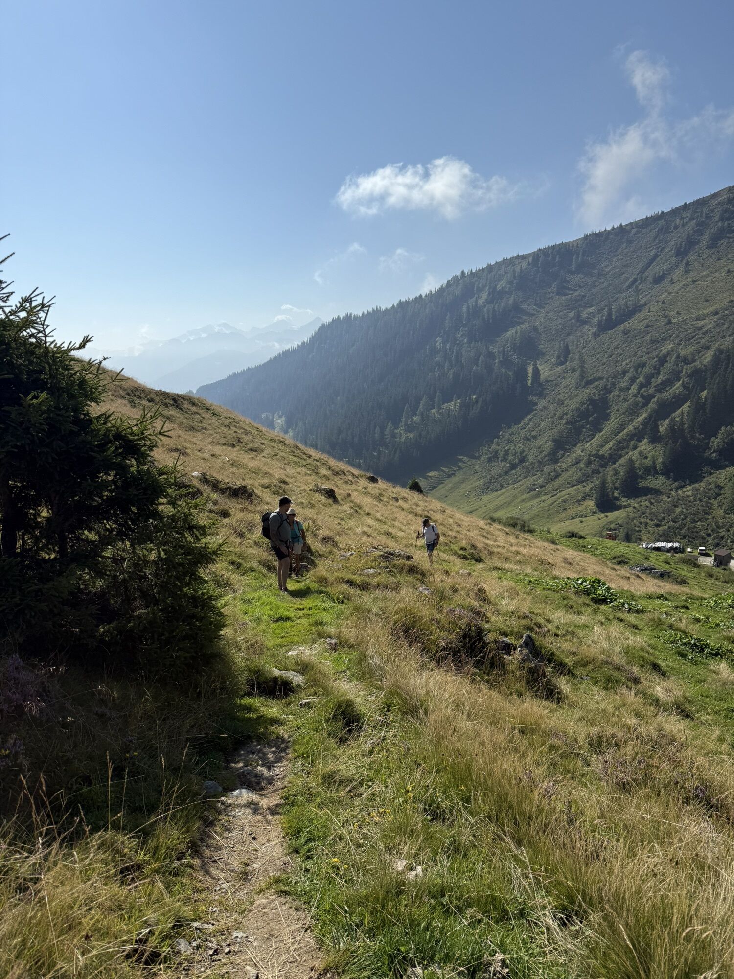
The eighth day stage leads from the Bürglhütte on the famous "Pinzgauer Spaziergang" towards the east: about ten kilometers are covered – always just below 2,000 meters above sea level. The "Pinzgauer...
TIP: Enjoy an unforgettable hiking experience on the Hohe Tauern Panorama Trail! The official Hohe Tauern Panorama Trail Info & Booking Center with the award-winning team of the Trail Angels is happy to support you. Experience a combination of personal freedom and the longing for something special, combined with service, comfort, and safety. Top offer: The small getaway package: 2 nights, 2 stages including luggage service, shuttle and return transfer, and much more from €218.

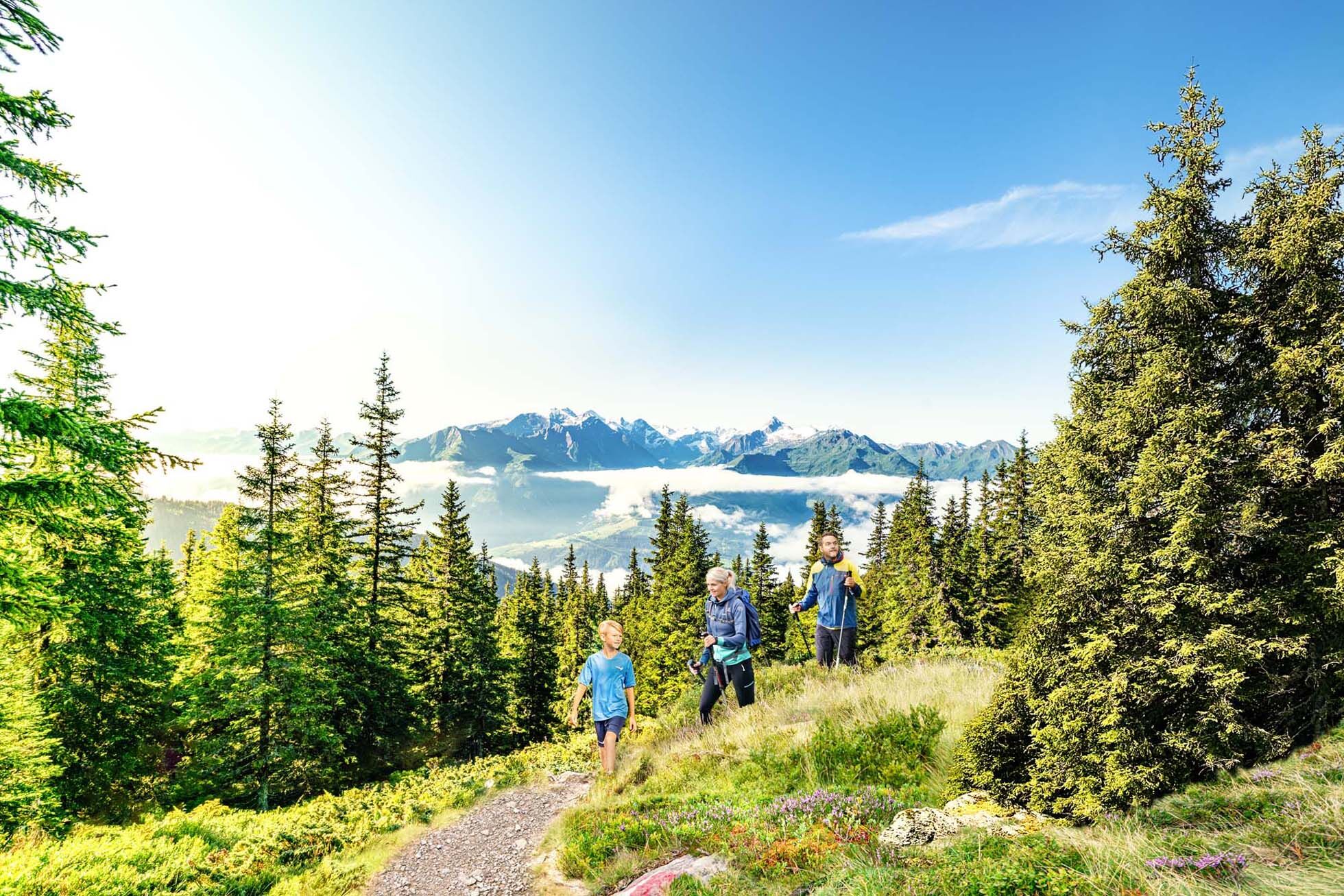
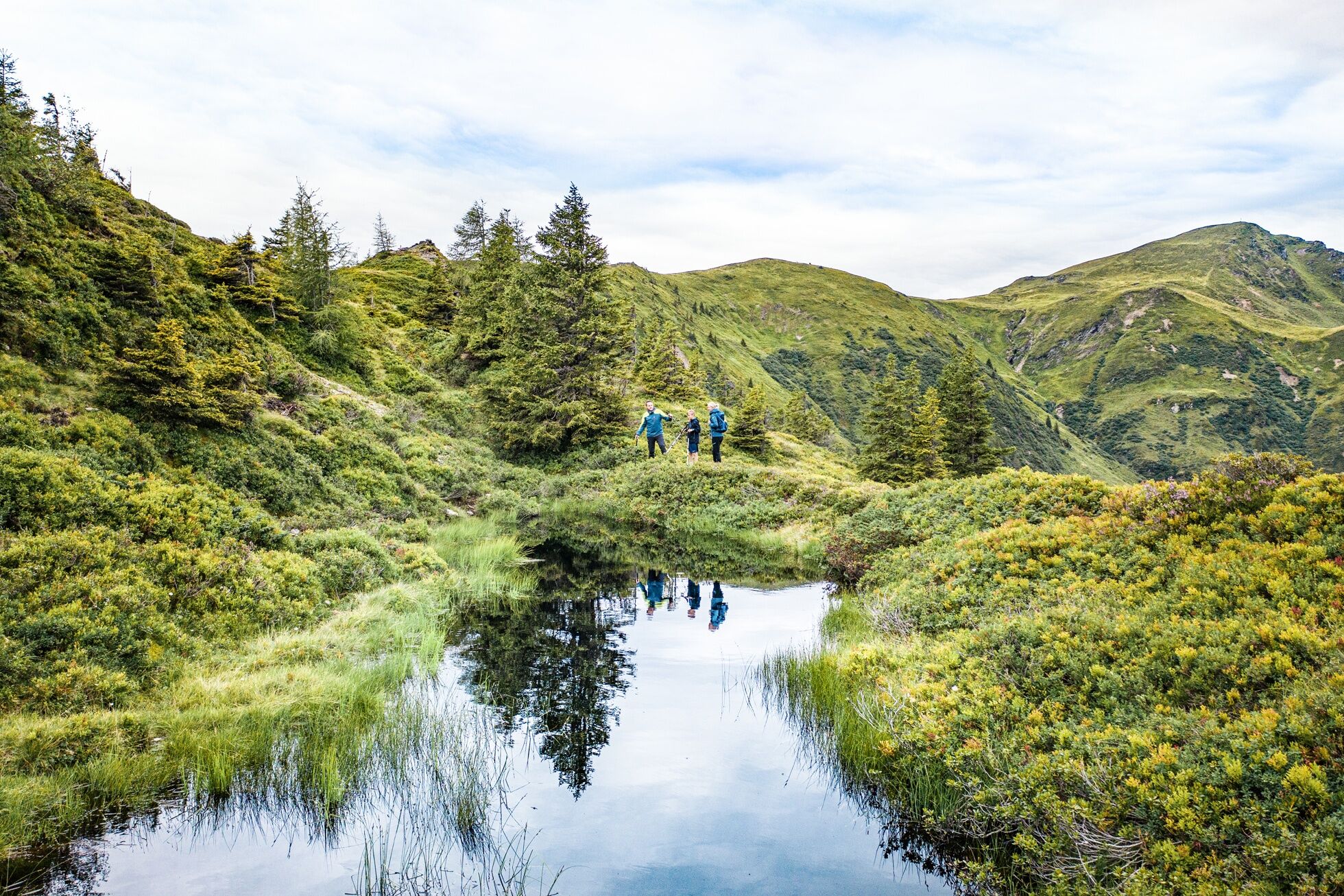

The first 10 minutes of this stage are identical to the last part of the previous stage. You hike the trail from the Bürglhütte across the meadows uphill until you reach an alpine road. Follow this road uphill a few meters to a wayside cross. Here you leave the path of the previous stage and follow the signpost "Pinzgauer Spaziergang" to the right above the alpine road. You hike the trail uphill past a dilapidated alpine hut, ignore the trail on the left going up towards Geißstein, always follow the signposts "Pinzgauer Spaziergang" and thus reach the Murnauer Scharte (1,959 m).
Now you follow the path that always stays to the right (south) of the peaks: firstly slightly descending, it leads in a gentle up and down through beautiful alpine terrain to a fork below the Pihapperkogel. Here you leave the Pinzgauer Spaziergang for a short time and hike down the path to the currently unstaffed Manlitzkarhütte.
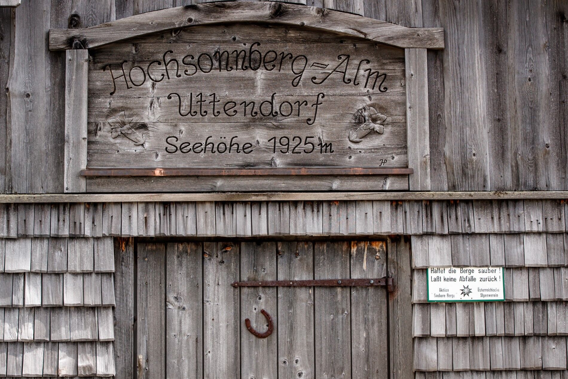
From the Manlitzkarhütte you hike briefly down the access road and soon turn left onto a trail that leads you uphill along the slopes back to the Pinzgauer Spaziergang trail, which you reach below the Manlitzkogel. Continue more or less at the same altitude until you reach the ridge below the Rabenkopf. On the ridge, the path then goes downhill to the Sommertor (1,939 m), where many paths converge. Now you leave the Pinzgauer Spaziergang for today and descend diagonally to the right over the beautiful meadow path (attention, do not take the wrong path! The correct path continues along the slope more or less parallel) to the stage destination, the Uttendorfer Hochsonnbergalm (approx. 1,910 m). Here you can stop for a break and then take the shuttle (contact: shuttle service Markus Gassner Tel. +43 6563 8484) down to the valley.
Alpine hiking equipment is required for the Hohe Tauern Panorama Trail:
Day hiking backpack (approx. 20 liters) with rain cover Sturdy and comfortable footwear Weather-appropriate and durable clothing in layers. The Hohe Tauern Panorama Trail mostly lies between 1,300 m and 2,450 m above sea level - this must be considered when selecting hiking equipment (especially clothing). Trekking poles are recommended due to often long descents Sun and rain protection Ensure sufficient provisions and adequately sized water bottles, as not all stages have dining options and wells (e.g., stages 5 and 7) First aid kit Pocket knife Mobile phone Route description or hiking mapComing from the north - (D, NL, ...): Munich - Kufstein - St. Johann in Tirol - Kitzbühel - Pass Thurn - Mittersill - Uttendorf
Coming from the west (CH): Inntal motorway - Wörgl Ost exit - St. Johann in Tirol - Kitzbühel - Pass Thurn - Mittersill - Uttendorf
Coming from the east: Vienna - Salzburg - St. Johann im Pongau - Zell am See - Uttendorf
Coming from the south: Lienz - Matrei - Felbertauernstrasse (toll road) - Mittersill - Uttendorf
From Zell am See, take regional bus 670 from Zell am See station (direction Krimml via Uttendorf-Mittersill-Neukirchen) to the Stuhlfelden Ort stop. From here, about 3 hours on foot to the stage start at the Bürglhütte. Alternatively, use the shuttle service
Markus Gassner Tel: +43 6563 8484 to the Bürglhütte.
From Zillertal, take regional bus 4094 from Zell am Ziller station to Almdorf Königsleiten Abzw. Gerlospass. Change to regional bus 673 (Wald Ortsmitte via Krimml). At Krimml station, change to regional bus 670 (Mittersill station via Neukirchen) to Stuhlfelden Ort (B168). From here, about 3 hours on foot to the stage start at the Bürglhütte.
Alternatively, use the shuttle service Markus Gassner Tel: +43 6563 8484 to the Bürglhütte.
Current timetables at https://fahrplan.salzburg-verkehr.at/
Free parking is available at the respective start points of the trail journey, e.g., in Uttendorf at the station or at the parking lot at the south bathing lake area.
The parking lots are free of charge and not supervised. No liability is assumed.
Holiday Region Nationalpark Hohe Tauern
Gerlosstraße 18 5730 Mittersill, Austria
Tel. +43 6562 40939, E-mail: hohetauerntrail@nationalpark.at
Booking Center & Info Hotline
Trail Angels GmbH
9821 Obervellach 15, Austria
Tel. +43 4782 93093, E-mail: info@bookyourtrail.com
Despite the stage not being very long, you need stable weather as the path runs continuously close to the ridge and sometimes only trail traces (although well marked) can be seen. Please bring sufficient provisions and water. The Manlitzkarhütte is open from July to September from Thursday noon to Sunday.
Pridobite vpogled Vedno v živo na mestu z več kot 9.500 spletnimi kamerami. bergfex Kot uporabnik Pro si lahko zdaj ogledate ustrezne spletne kamere za številne izlete v aplikaciji izleti iz. Tako si lahko neposredno ogledate trenutne razmere. Priljubljeni izleti v okolici
- 4,0
Maurerkogel (Top)
Pohodništvo 10,5 km - 5,0
Panorama route 3 peaks and 2 lakes
srednjaPohodništvo 7,35 km - 4,7
Tristkogel
težkoPohodništvo 15,6 km - 4,9
Manlitzkogel
težkoPohodništvo 13,4 km - 3,8
Hollersbach: Pihapper Wegnr. 935
težkoPohodništvo 12,8 km - 4,1
Via the Schösswendklamm to Hintersee
srednjaPohodništvo 8,29 km - 4,0
Mittersill: ski tour Sonnalm
srednjaSmučarska tura 4,87 km - 4,2
Spielbergalmen
srednjaPohodništvo 10 km - 4,4
Saalachtal high trail WEST
srednjaPohodništvo 19,3 km - 5,0
10D Hochsonnbergrunde
srednjaMountainbike 26,4 km
Pohodništvo in sledenje


Ne zamudite ponudb in navdiha za naslednje počitnice
Vaš e-poštni naslov je bil dodan na poštni seznam.





