






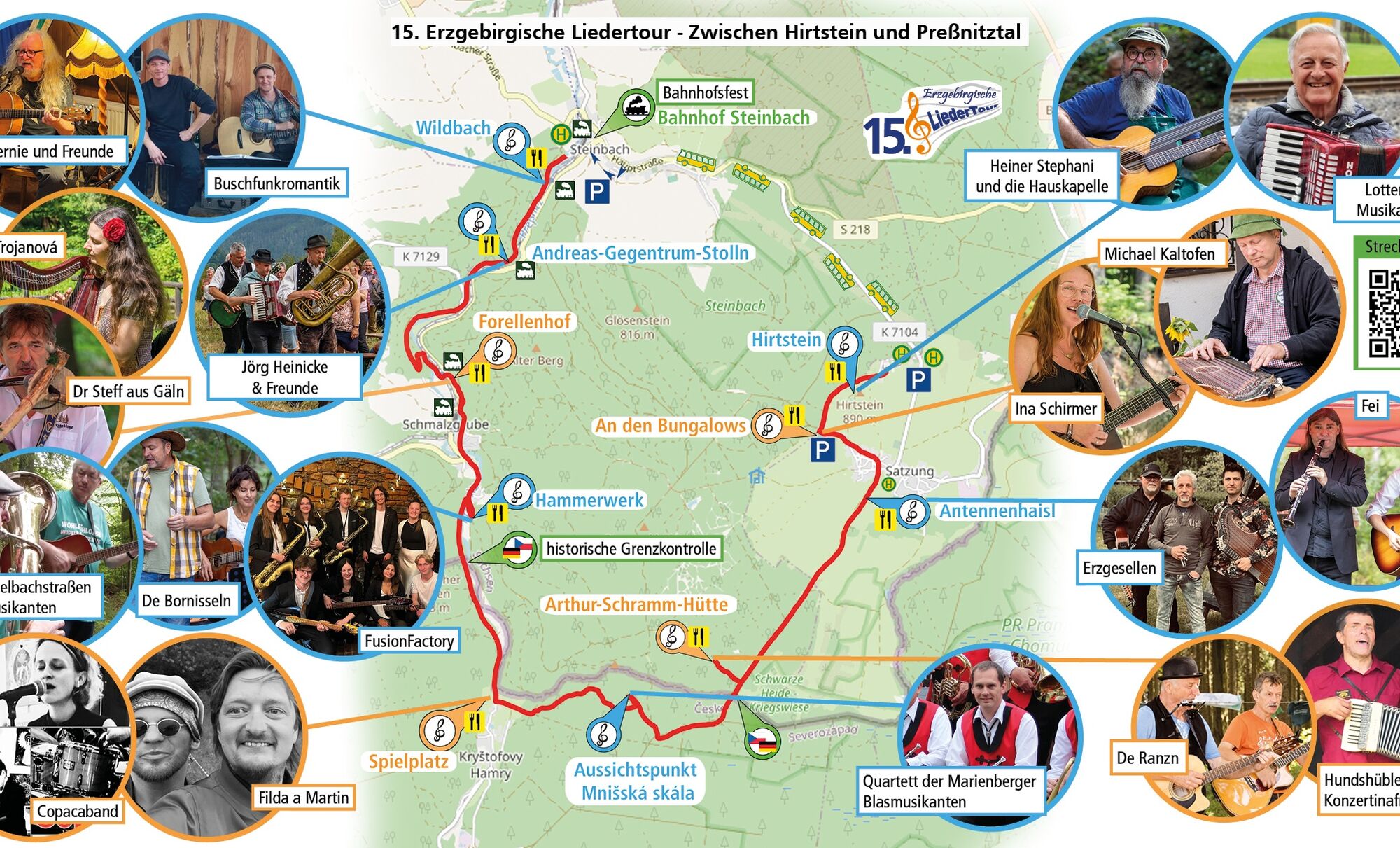
Route of the 15th Erzgebirge Song Route from August 17, 2025

Stopnja težavnosti: T1
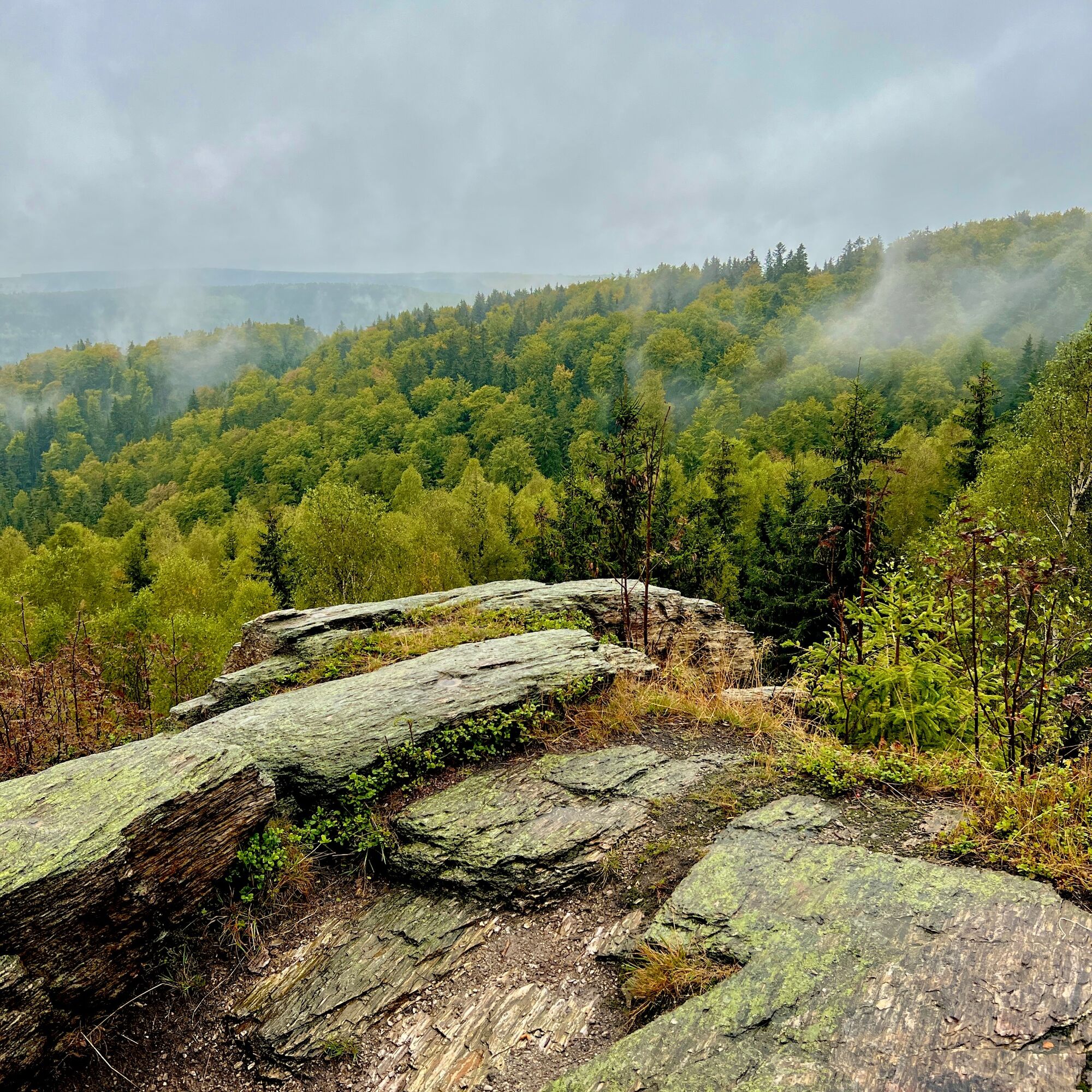
The 15th Erzgebirge Song Route is history and we were very pleased with the many guests. We leave the route here for everyone who wants to hike the scenic route again. Have fun! Glück Auf!



Da
Da
Da
sturdy footwear and weather-appropriate clothing
Since the route crosses the border into the Czech Republic, carrying identification documents is necessary.
there is no start or end point. Everyone can enter at any station and hike any part of the marked route.
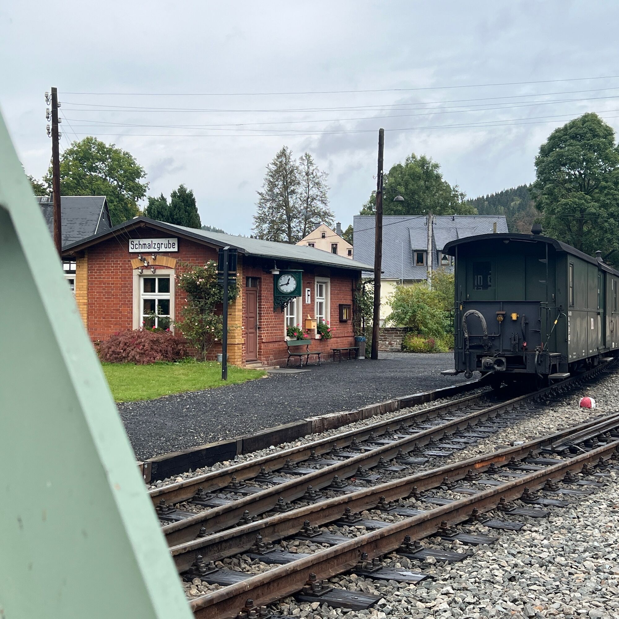
Travel by public transport is possible, among other ways, to Wolkenstein by the Erzgebirgsbahn and from there with a feeder bus to Steinbach station. In the Preßnitztal, the museum railway runs at least hourly on a special schedule, so travel from the direction of Jöhstadt by train is also possible.
www.google.de/maps/place/50%C2%B033'10.7%22E/@50.557877,13.1539859,690m/data=!3m1!1e3!4m4!3m3!8m2!3d50.5565!4d13.15298?entry=ttu&g_ep=EgoyMDI1MDQyMy4wIKXMDSoASAFQAw%3D%3D
T1


Priljubljeni izleti v okolici
- 4.8
Katzenstein - Schwarzwassertal - Katzenstein
srednjaPohodništvo 15.5 km - 4.0
Oberwiesenthal, Kreuzbrückenfelsen, Eisenberg, Oberwiesenthal
svetlobaPohodništvo 7.15 km - 4.5
TK 9 - Wiesaer Höhenweg
srednjaPohodništvo 9.46 km - 5.0
Jöhstadt to Steinbach through the Preßnitz valley
srednjaPohodništvo 8.50 km Hike into soup country
srednjaPohodništvo 8.13 kmSteam train and walking stick
srednjaPohodništvo 14.1 kmSchlettau circular hiking trail "Up to the Liebenstein"
srednjaPohodništvo 15.0 km- 5.0
Erlebnispfad Bimmelbahn
težkoPohodništvo 18.8 km ERZCAMINO variant Kadan - Jahnsdorf to the Saxon Pilgrim Way
srednjaRomarska pot 95.0 kmIn the valley of the Black Pockau - short tour
Pohodništvo 6.25 km
Pohodništvo in sledenje


Ne zamudite ponudb in navdiha za naslednje počitnice
Vaš e-poštni naslov je bil dodan na poštni seznam.





