






MEDIEVAL WALK
Climb up to the Château de Cabrières, where the remains of the cistern, the rampart and the base of a tower are visible. An itinerary rich in historical and landscape discoveries.


1
From the parking lot, take the D15 towards Clermont-l'Hérault, pass the town hall and turn left onto the D124E4 towards Les Crozes. Walk a few metres and immediately ignore the Rue du Chemin Vieux on your right (which separates you from the PR circuit "Les crêtes de Vissou").
2
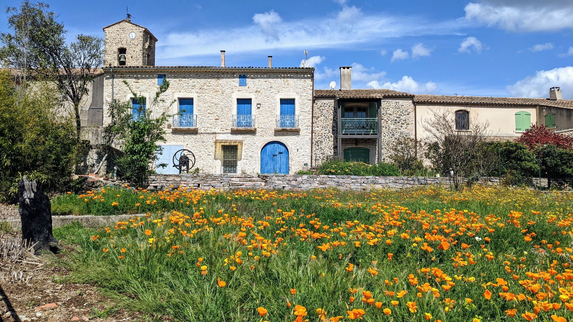
Walk up towards the church. At the fountain, turn left towards Les Crozes. Go past the cemetery for 100 m. Turn left onto Chemin du Château. Cross an embankment and, shortly afterwards, leave the track by a path on the left, ignoring the wide track.
3
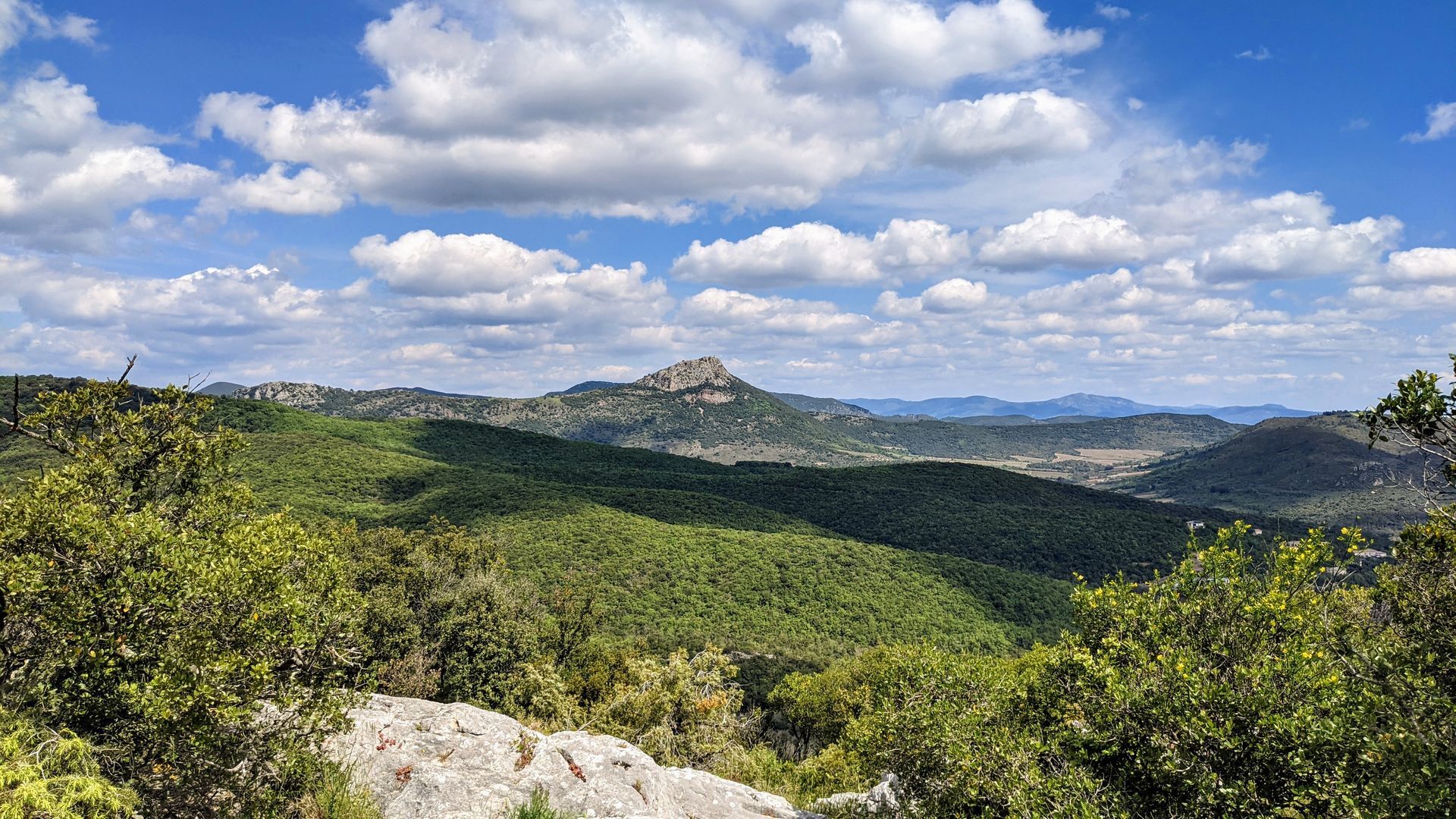
The path rises above the vines on the edge of the wood. At a stream, take the left-hand path between low walls. It rejoins the path you left earlier. At the end of the ascent, climb to the left along a path with steps to reach the Col de la Cisterne. > Access to the summit platform of the château 293 alt. (20 mn round trip): stay on the path (don't go near the edge of the cliffs): view of Pic Vissou, the village of Cabrières and, to the south, Soureillé d'Izarne and the Pitrous valley.
4
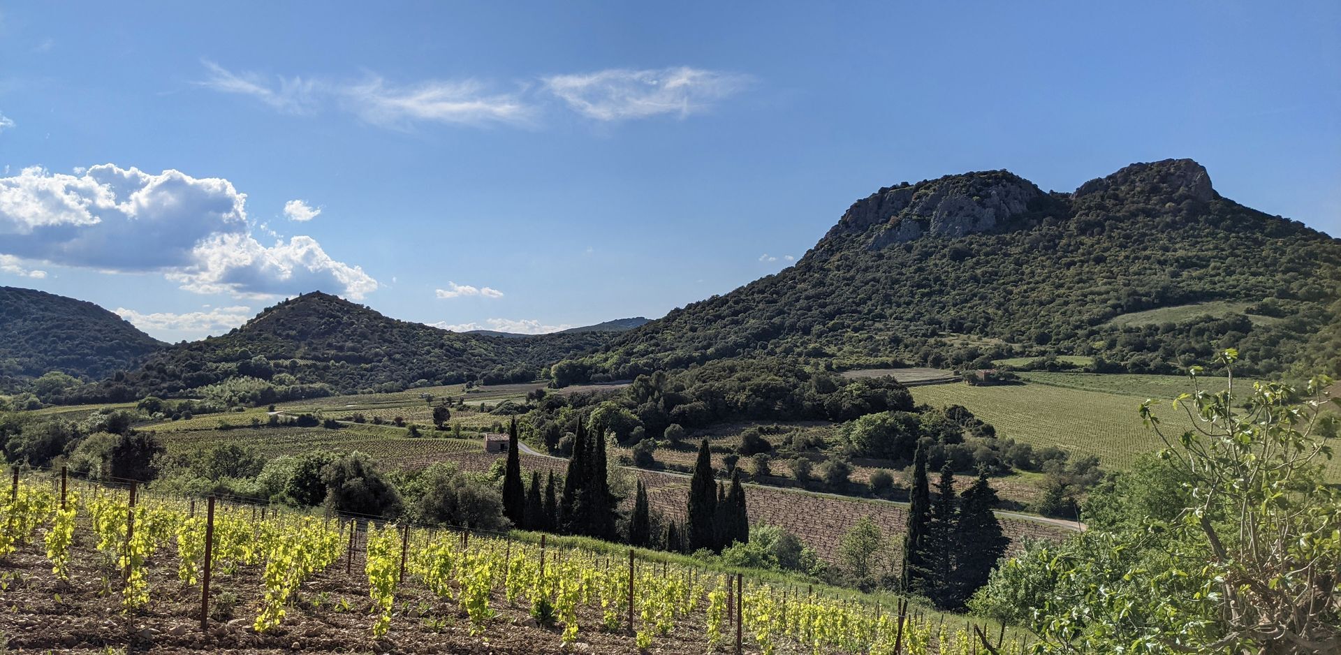
Descend to the south of the château, past the old well. The stony path runs alongside the first ruins. Cross the old village on a straight path, the main street (do not enter the ruins). Continue along a balcony path overlooking the Pitrous valley (vineyard viewpoint). Cross a moorland and, shortly before a well-marked pass, descend to the left under the track. About 150 m further on, rejoin the main track and, opposite, continue downhill to "Norbert's gardens".
5
Leave the "Les Drailles des Crozes" itinerary opposite, and descend to the left on a track running alongside a vineyard.
6
At the end of the vineyard, turn left onto a path through the evergreen oaks alongside a stream. Cross it over a series of wooden bridges (slippery in wet weather). The path gradually descends halfway down the slope below the castle peak. Reach a wider path at the level of a well and a mazet. Continue straight ahead, ignoring a left-hand trailhead and rejoining the road leading to the Pitrous valley.
7
Go straight on until you reach the D15, then turn left to reach the parking lot.
A750, A 75 Exit n°57
A750, A 75 Exit n°57
Take care on the castle platform: steep, stony access, keep away from the cliffs. The path is slippery in wet weather in several places. Do not enter the ruins of the old village.
Jaune PR
+33 4 67 96 23 86
Office de tourisme du Clermontais
PDIPR
Priljubljeni izleti v okolici
-
5.0
CIRQUE DE MOUREZE HIKE
srednjaPohodništvo 6.86 km -
5.0
LES VAILHÉS HIKING TRAIL
srednjaPohodništvo 9.28 km -
5.0
MONT LIAUSSON HIKE
srednjaPohodništvo 7.36 km -
5.0
CIRCUIT N°1 LE LAC DU SALAGOU - ESPACE VTT-FFC DU SALAGOU
srednjaMountainbike 26.9 km -
TRAIL OF THE TOUR OF LAKE SALAGOU (SHORES OF CLERMONT) - GR® OF THE REGION BETWEEN 2 LAKES Avène – Salagou
srednjaTrailrunning 25.6 km -
OENORANDO® OF THE BALCONS D’ALIGNAN DU VENT
srednjaPohodništvo 12.7 km -
COURTINALS TRAIL HIKE
svetlobaPohodništvo 2.36 km -
BEALS TRAIL HIKE
srednjaPohodništvo 4.51 km -
OENORANDO® OF THE VINEYARDS AND VOLCANOES OF FONTES
srednjaPohodništvo 11.2 km -
HIKE TO DISCOVER THE WILD ORCHID
svetlobaPohodništvo 2.61 km
Pohodništvo in sledenje


Ne zamudite ponudb in navdiha za naslednje počitnice
Vaš e-poštni naslov je bil dodan na poštni seznam.





