







OENORANDO® OF THE VINEYARDS AND VOLCANOES OF FONTES
From the cellar, head towards the church listed as a historic monument, passing under the old village gates. Follow an old path and climb up the Céressou volcano. Then, after crossing the Boyne, you will...
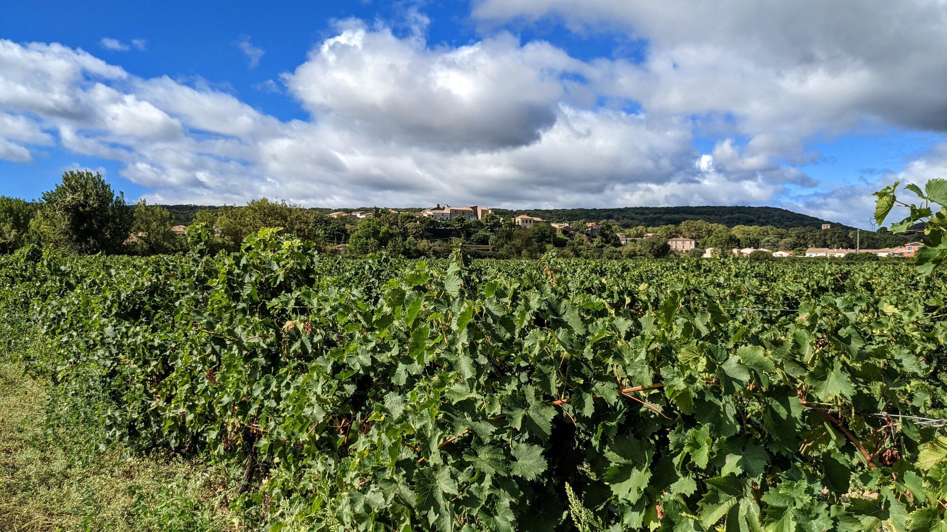
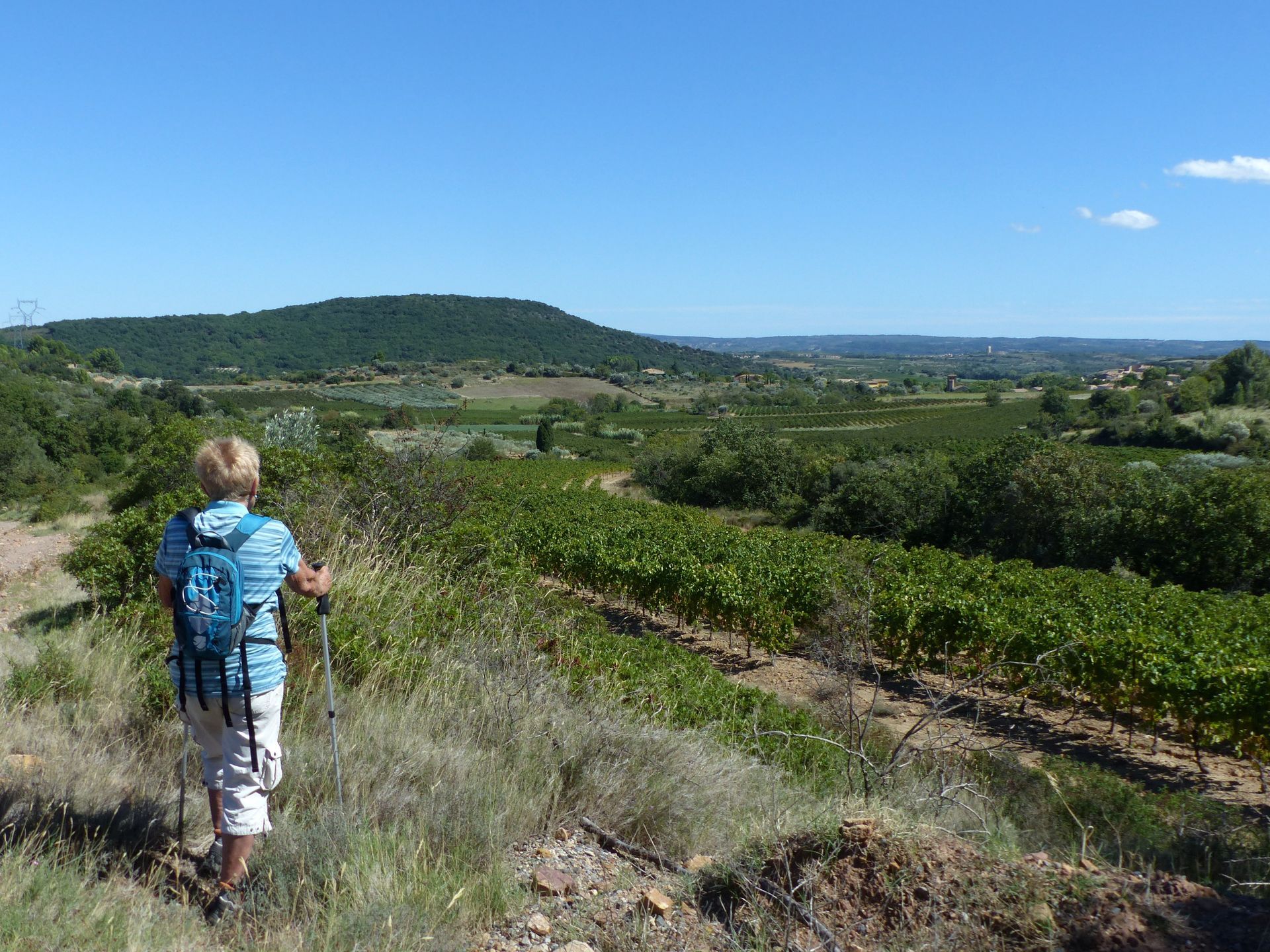
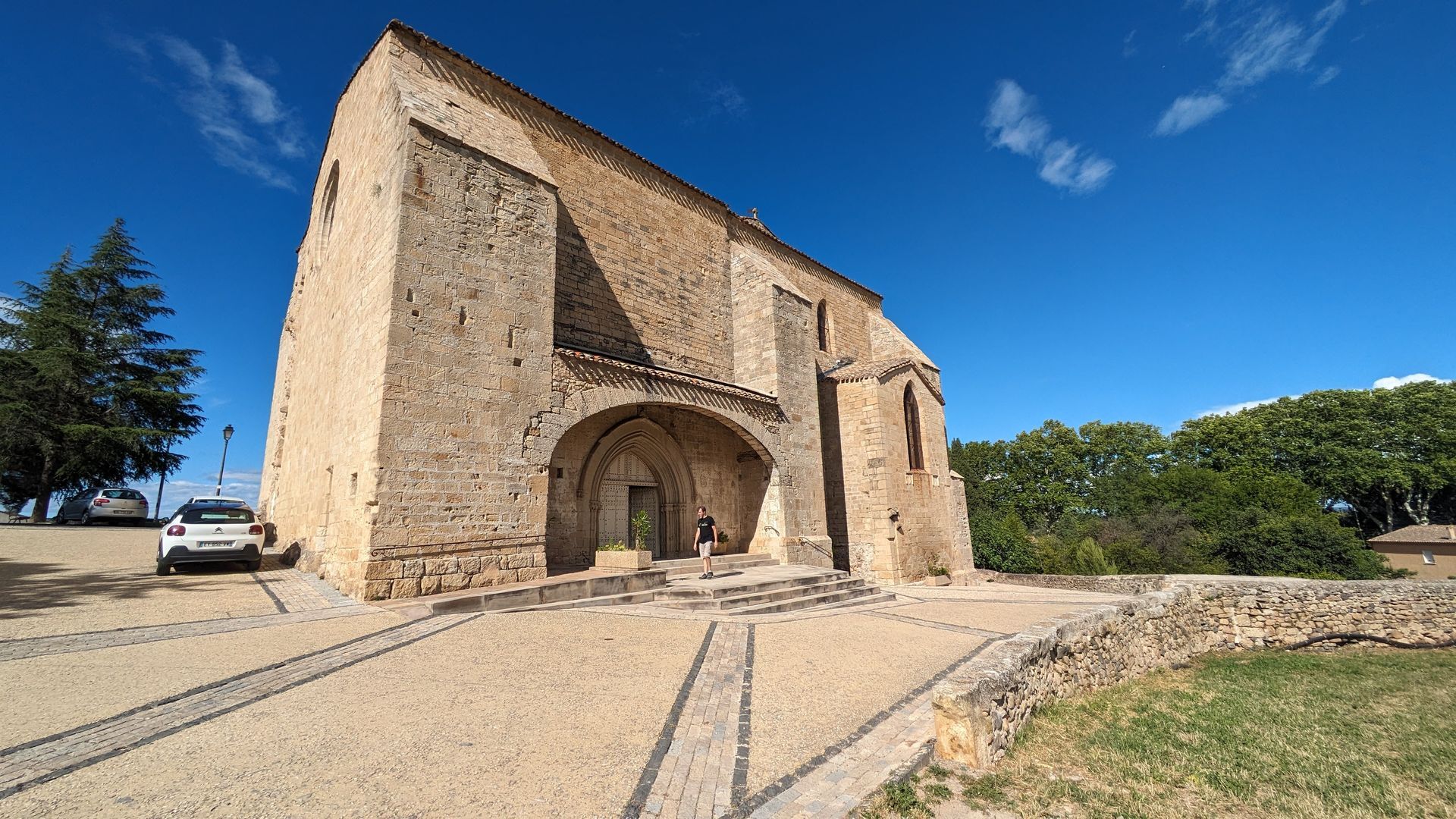
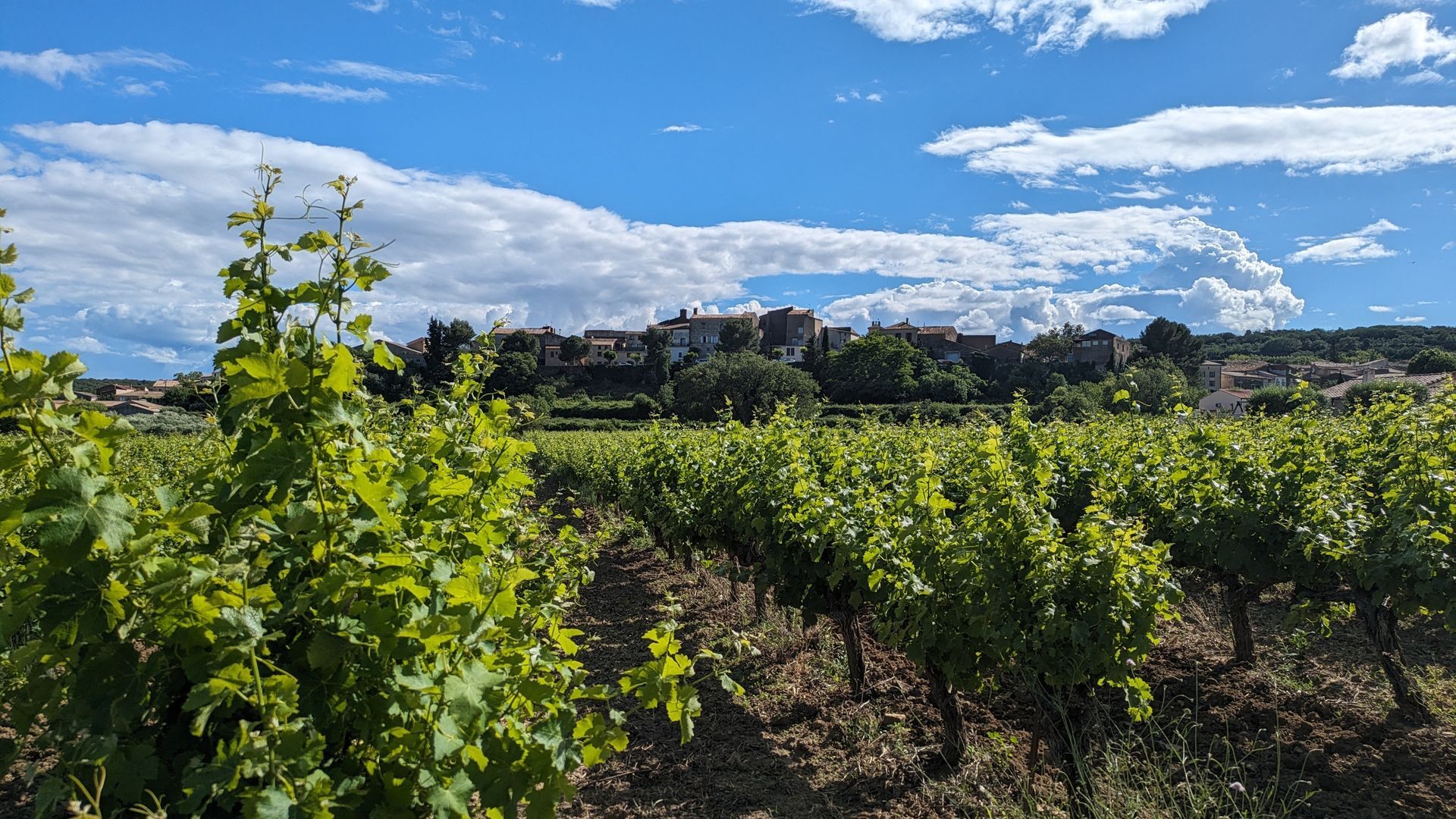
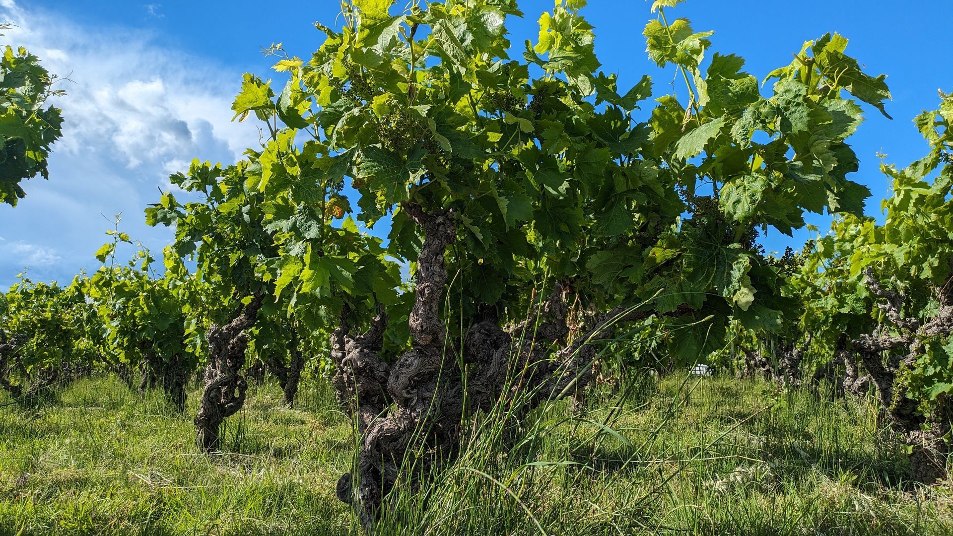
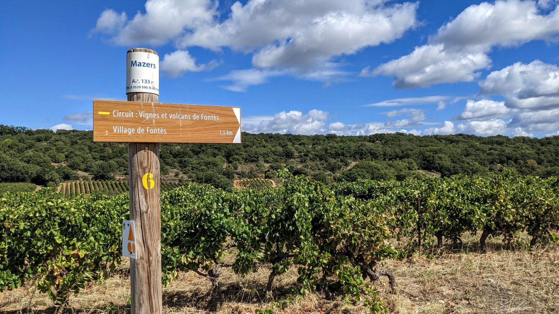
From the cellar, head towards the church listed as a historic monument, passing under the old village gates. Follow an old path and climb up the Céressou volcano. Then, after crossing the Boyne, you will head towards the Baumes volcano. Next, you will pass a few meters from the ruins of the Mazers castle before returning to the village via the Clapisse hill.



1
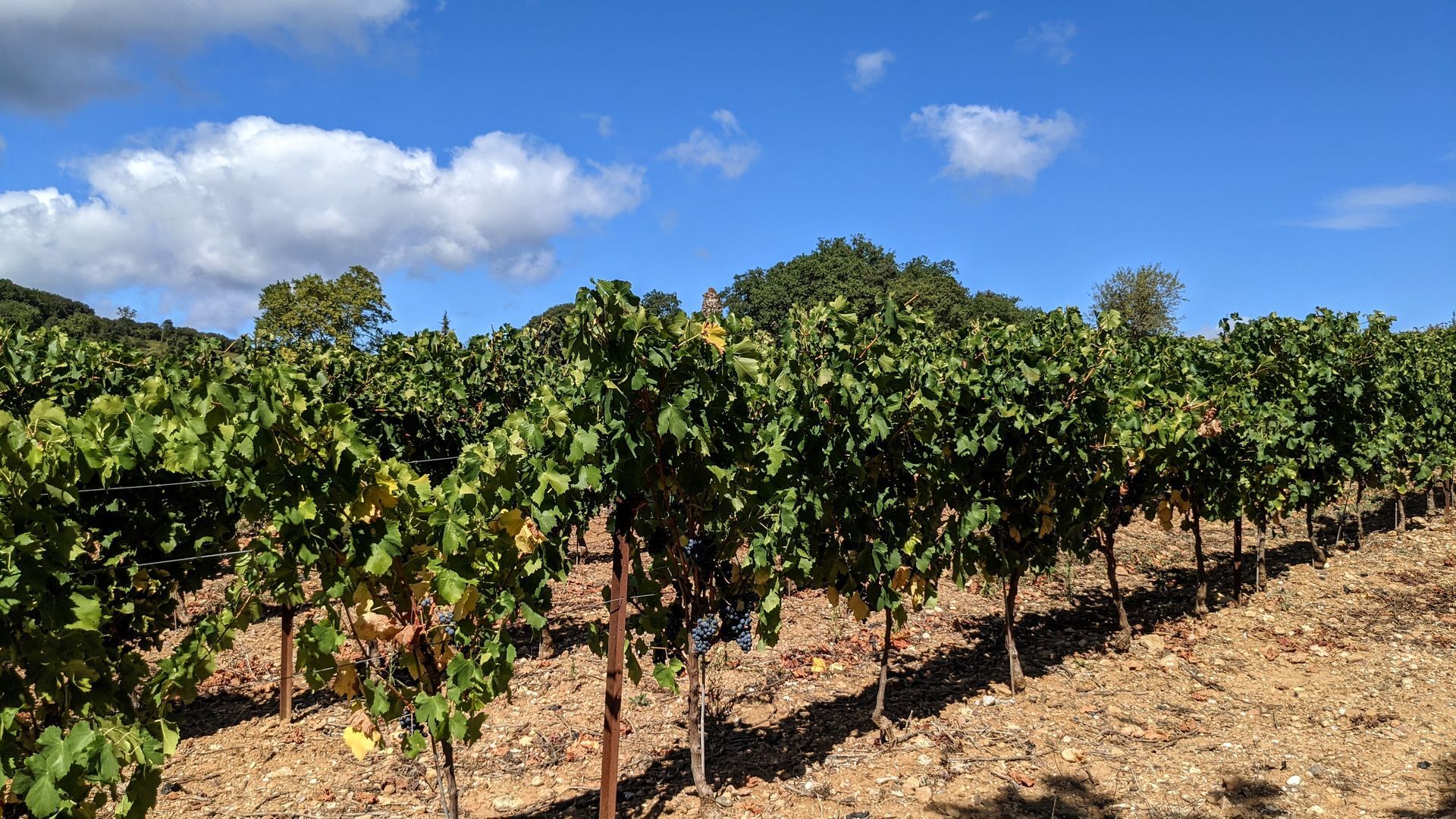
From the parking lot, go up left on boulevard Jules-Ferry. A few meters further, opposite the dead end of Camplieure, go down right into a narrow street. Cross avenue Frédéric-Mistral, continue along rue du Couvent, go to the end (on the left, view of Saint-Hyppolyte church, listed as a historic monument). Continue right on the Church path, go up right on rue de la Calade, then left on rue du Capelan-Mort. Continue left on rue des Artisans, right onto rue de la Victoire (facing the town hall). Go up left on rue de l’Horloge, continue along the Château promenade (view of Céressou), and go down rue Paul-Bert. On the left, go down boulevard de la République, turn left onto rue de la Traversette, then left again onto rue des Lavandières; it turns at a right angle and opens onto rue Jean-Moulin, which you take left to exit the village towards Céressou. Walk on a road bordered by vineyards. Before the left turn (pine trees), leave the road to the right and immediately go left under the telephone line. Cross the Boyne stream. Continue on a small road bordered by a hedge of thuja, then between vineyards.
2
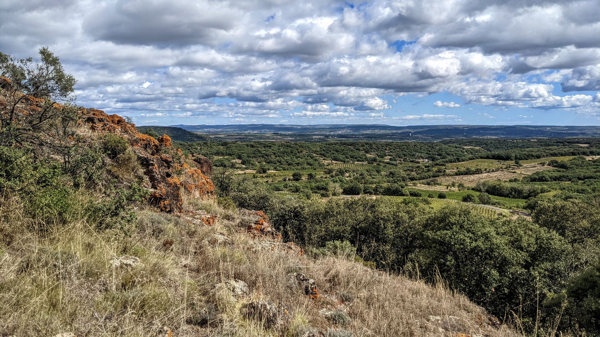
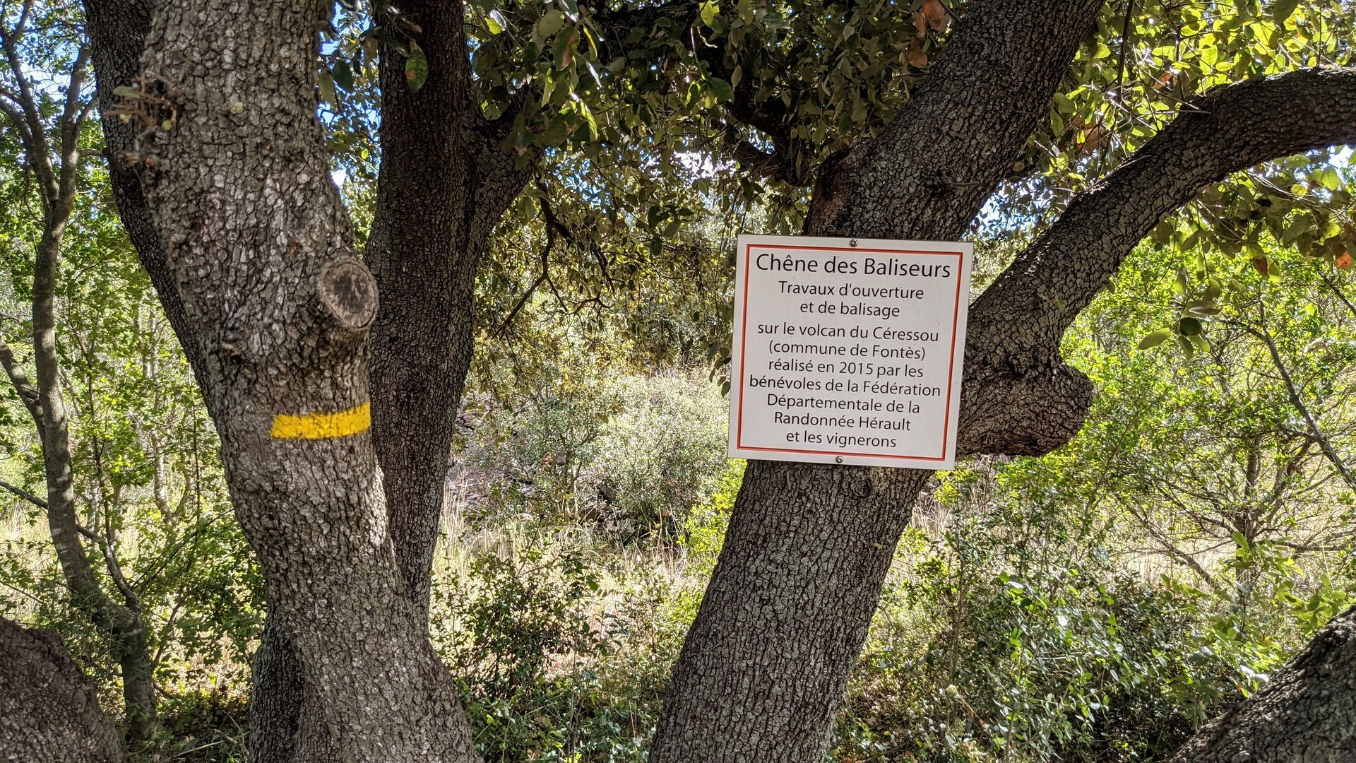
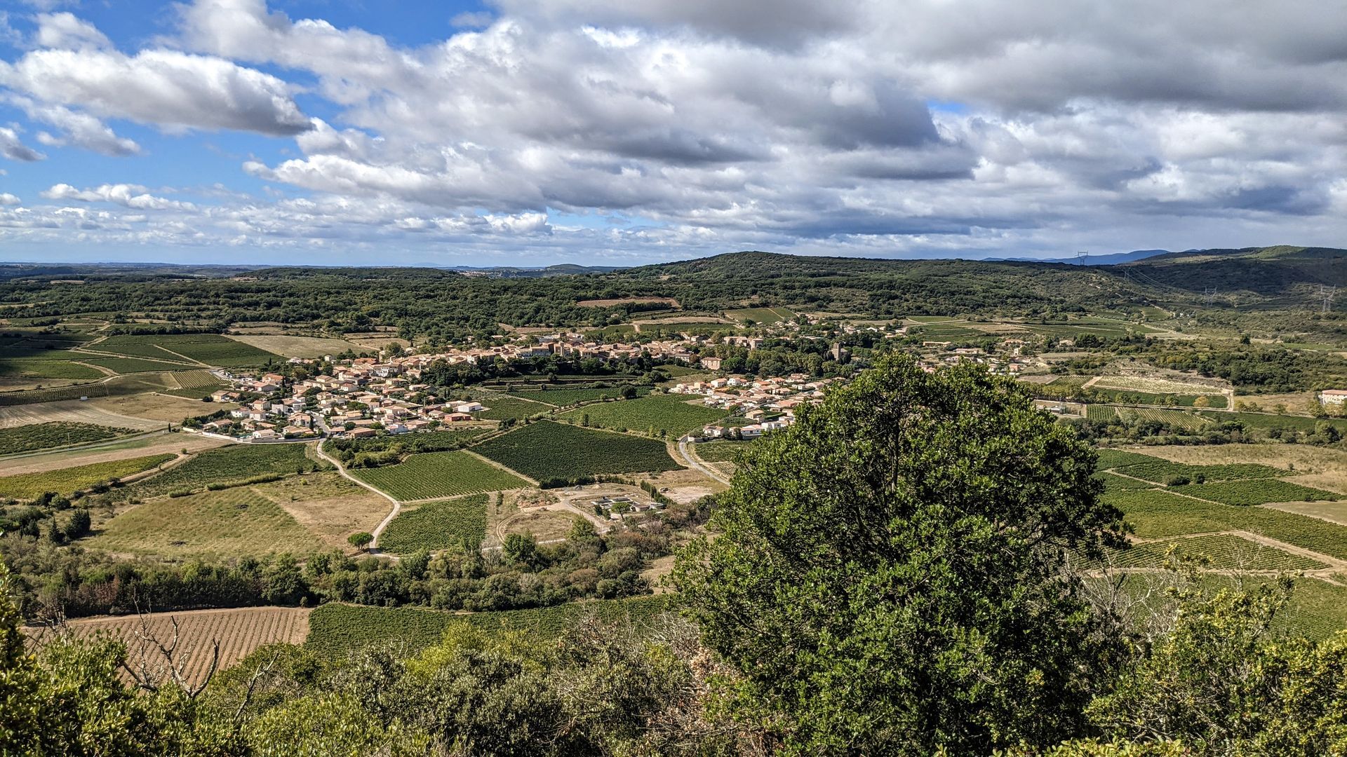
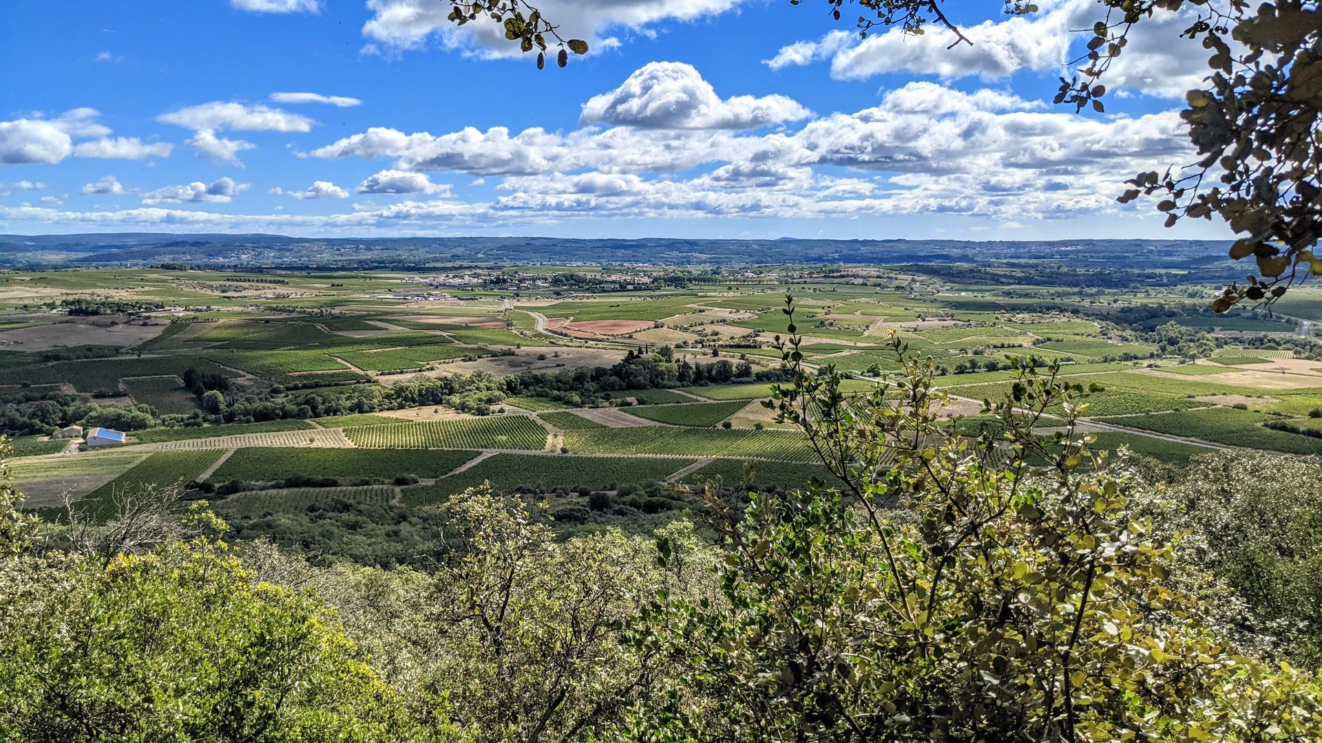
Before the right turn (calvary, junction with D 174), leave the road and climb left along a hollow path bordered by walls, through the vineyards. At the level of an olive grove, continue climbing under the oaks and reach the Céressou plateau (207 m) (viewpoint over the wine plain, the seaside, Agde and Sète on clear days). Turn left and follow the terrace path (view of the village of Fontès). Further on, to the left, begin the descent. Cross a path, go down facing the shaded path and, lower down, continue on a track between the vineyards up to the ford.
3
> Junction with the Céressou circuit (6.5 km, 2 h, easy). Cross the ford. About 400 m ahead, cross D 124 (caution) and climb the Molinié hill under the high voltage line. At the track junction, go up right. Further on, before a large crossroads, turn left along a path.
4
On the right, find the track and go right for a few meters. On the left, enter the undergrowth through a shaded path that winds over the Baumes volcano (240 m). Follow the old Crozes path to the reservoir (viewpoint). Descend by the road and reach D 174E1.
5
Cross the departmental road (caution) and go down left into the hollow. Cross a stream, climb and follow a field on the right for a few hundred meters. Descend right at the end of the fields, ford an intermittent stream and continue on a track along vineyards, under the road. Continue straight ahead and climb in front onto the knoll.
6
Head right, descend into the valley. Go left, then immediately climb right. Further on, leave the track and climb right along a path in the undergrowth (follow the markings carefully). At the end of the climb, continue straight along a wall, cross a track (viewpoint), and descend straight down a stony path (caution). Join a track, descend towards the village via the Montée-Rouge path. On the right, by boulevard Jules-Ferry, return to the parking lot.
A 75 exit no. 58
A 75 exit no. 58
Trail impassable after heavy rains (ford on the Boyne). Be careful when crossing roads. Follow the markings well in the Beaumes area. Respect private property, do not enter vineyards.
Yellow PR
+33 4 67 96 23 86
Clermontais Tourist Office
Oenorando®
Priljubljeni izleti v okolici
-
5.0
CIRQUE DE MOUREZE HIKE
srednjaPohodništvo 6.86 km -
5.0
LES VAILHÉS HIKING TRAIL
srednjaPohodništvo 9.28 km -
5.0
MONT LIAUSSON HIKE
srednjaPohodništvo 7.36 km -
5.0
SAINT ANTOINE HERMITAGE HIKE
svetlobaPohodništvo 9.91 km -
5.0
CIRCUIT N°1 LE LAC DU SALAGOU - ESPACE VTT-FFC DU SALAGOU
srednjaMountainbike 26.9 km -
TRAIL OF THE TOUR OF LAKE SALAGOU (SHORES OF CLERMONT) - GR® OF THE REGION BETWEEN 2 LAKES Avène – Salagou
srednjaTrailrunning 25.6 km -
OENORANDO® THE ART AND NATURE TRAIL
srednjaPohodništvo 15.7 km -
COURTINALS TRAIL HIKE
svetlobaPohodništvo 2.36 km -
BEALS TRAIL HIKE
srednjaPohodništvo 4.51 km -
OENORANDO® OF THE BALCONS D’ALIGNAN DU VENT
srednjaPohodništvo 12.7 km

Pohodništvo in sledenje


Ne zamudite ponudb in navdiha za naslednje počitnice
Vaš e-poštni naslov je bil dodan na poštni seznam.





