







Almkogel - Ennser Hut via Burgspitz

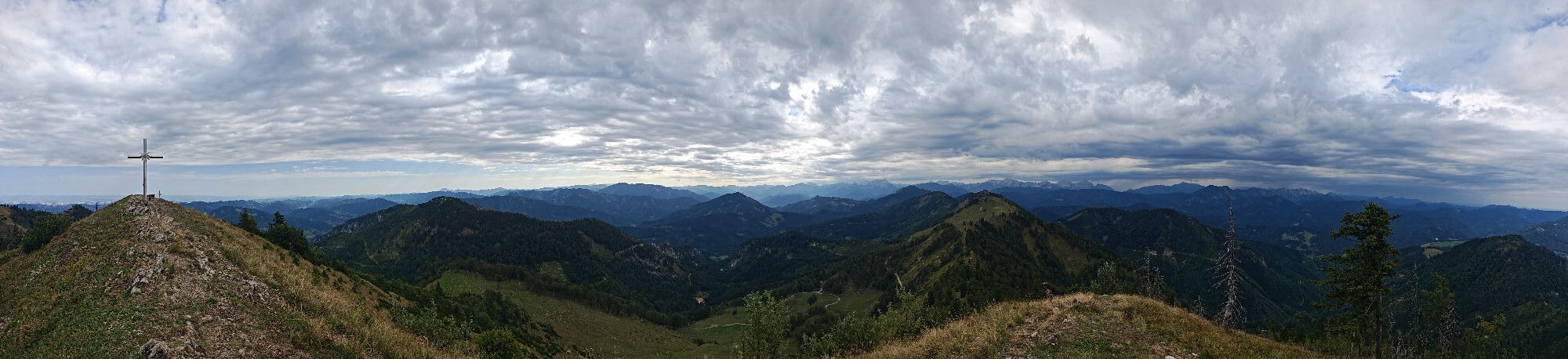
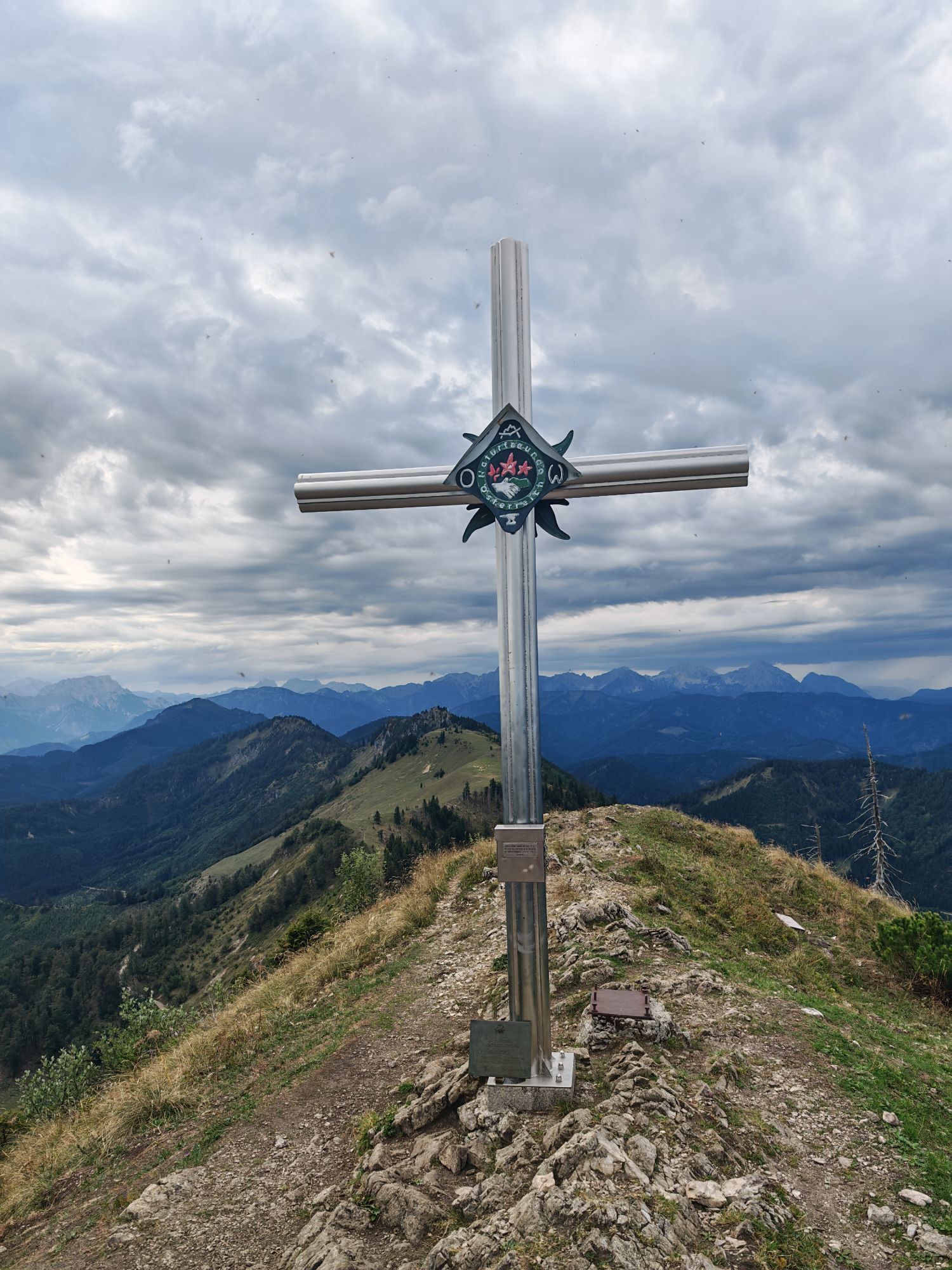
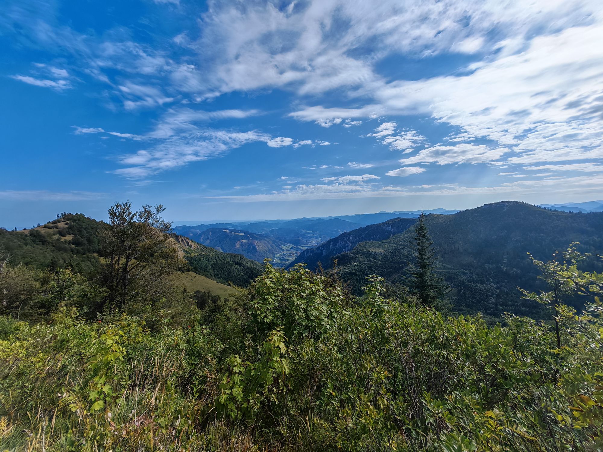
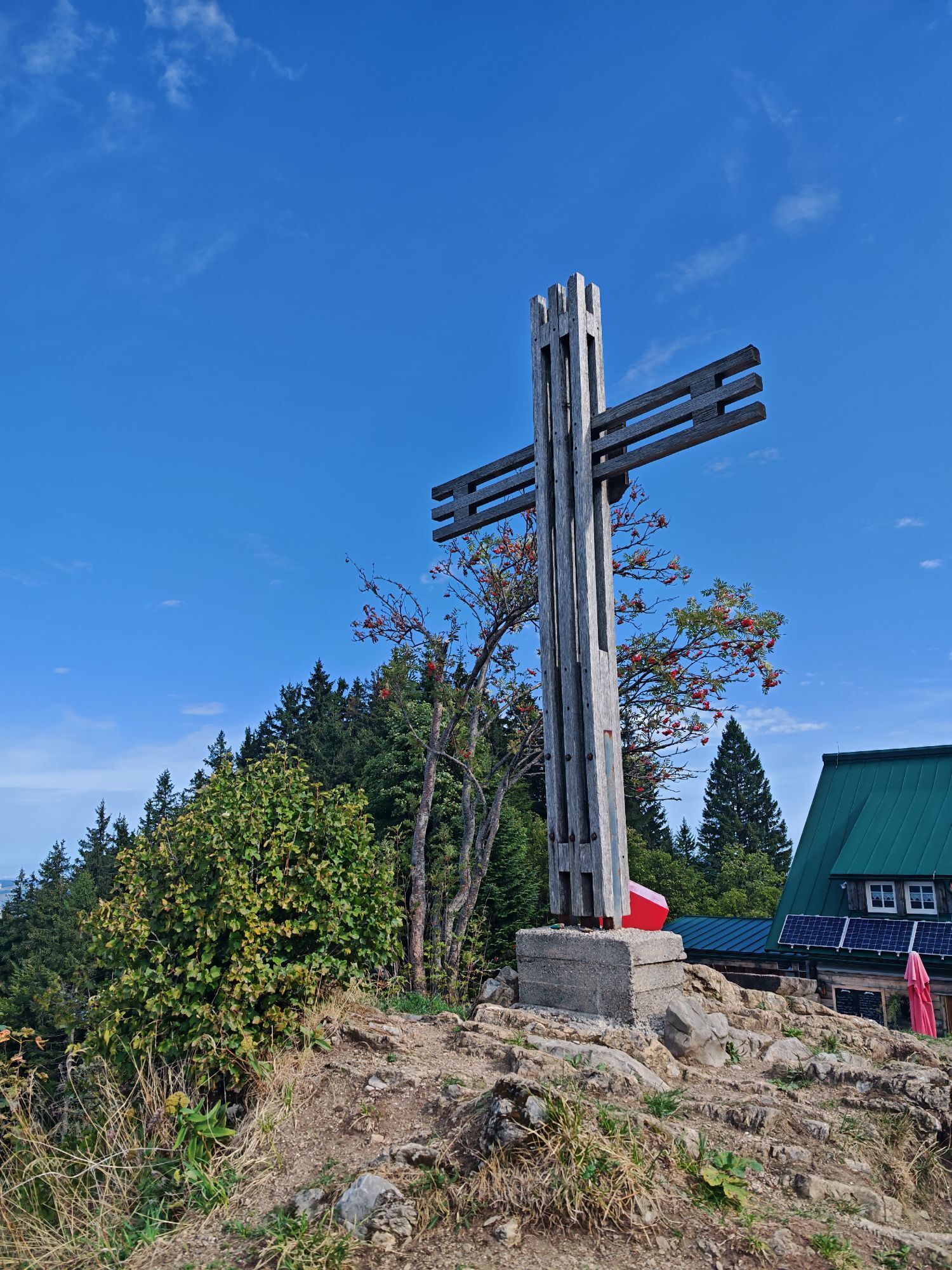
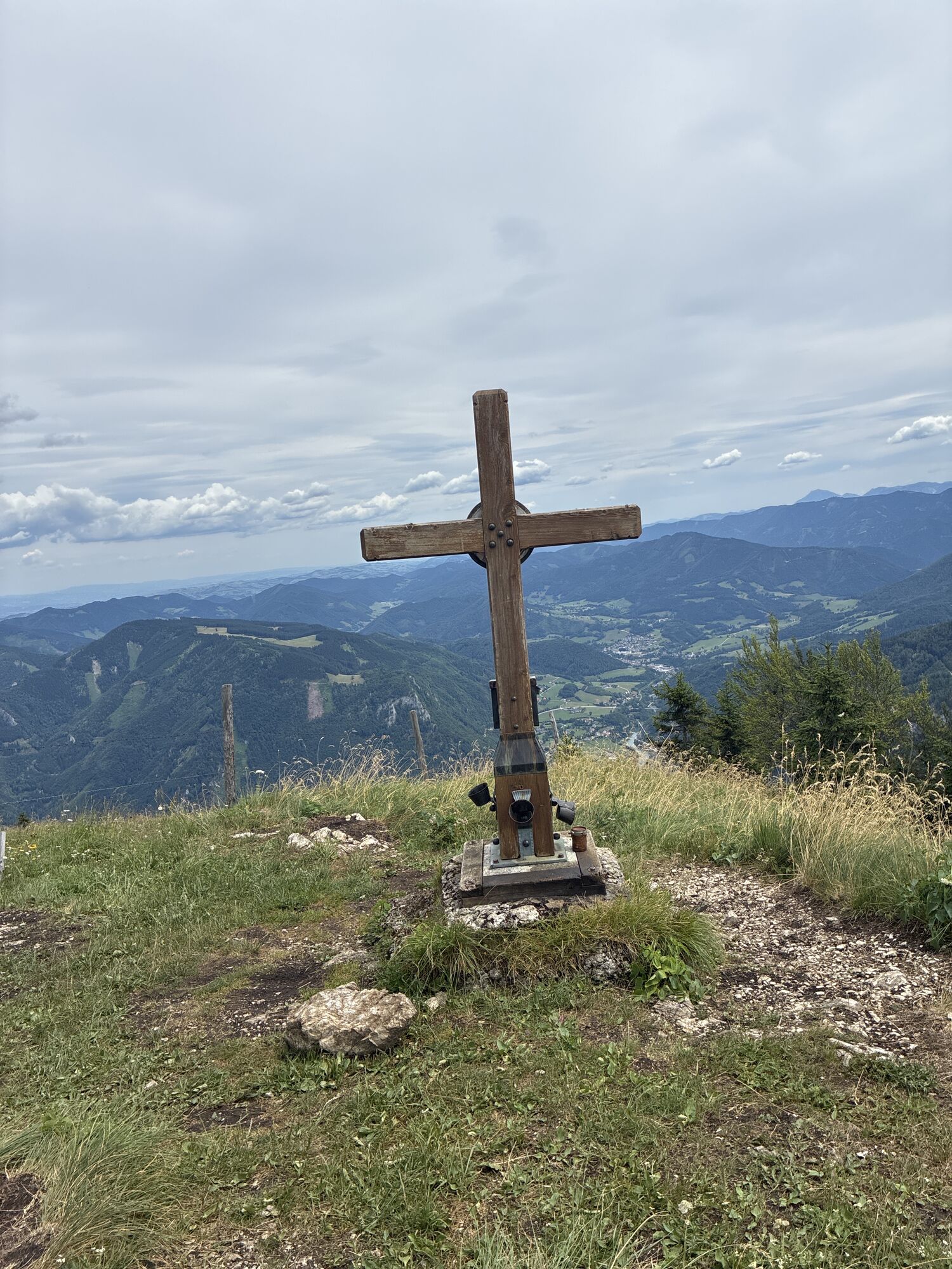
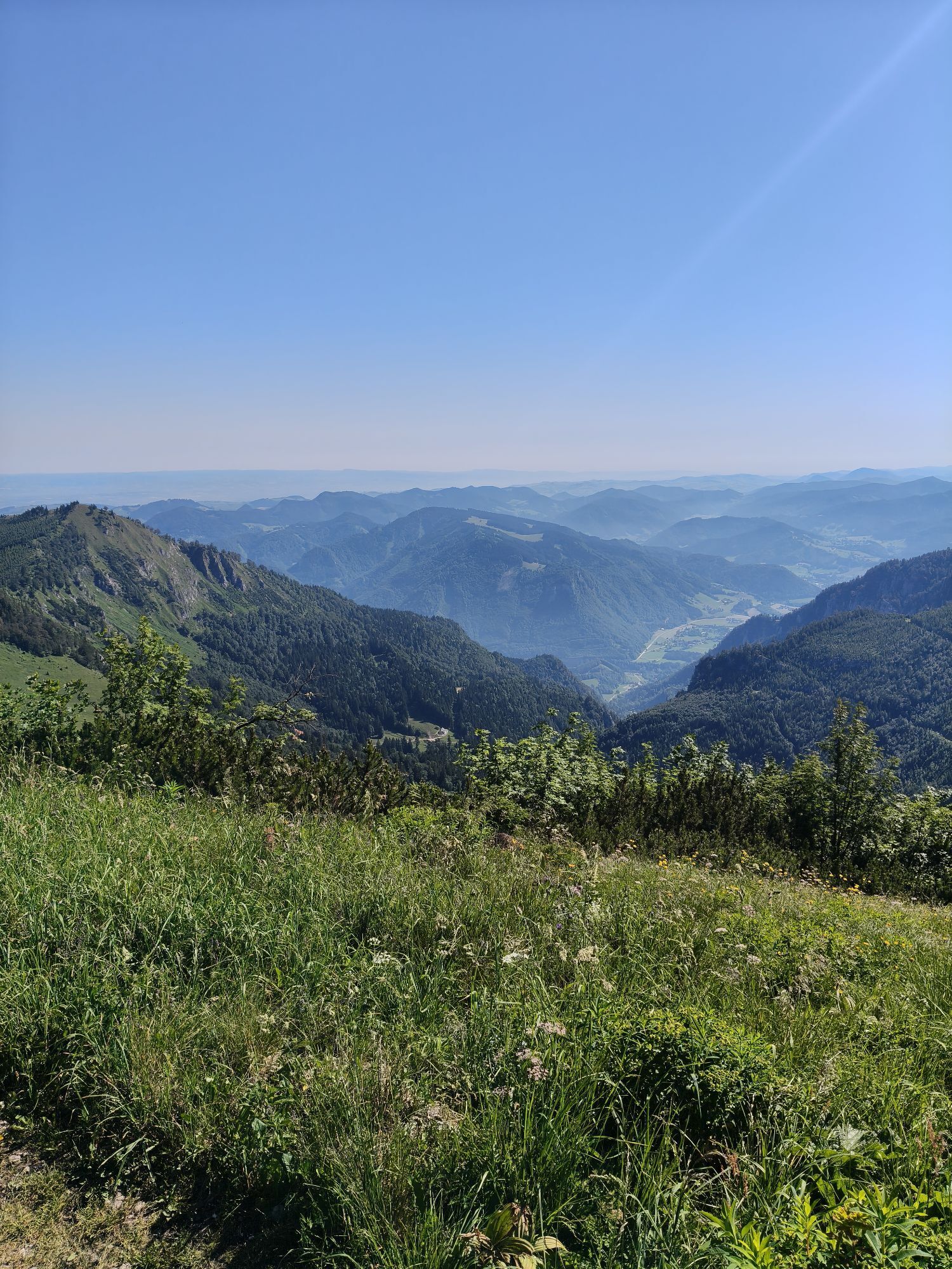
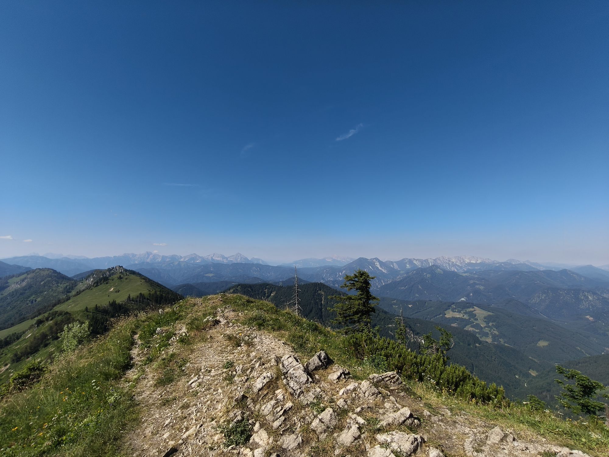
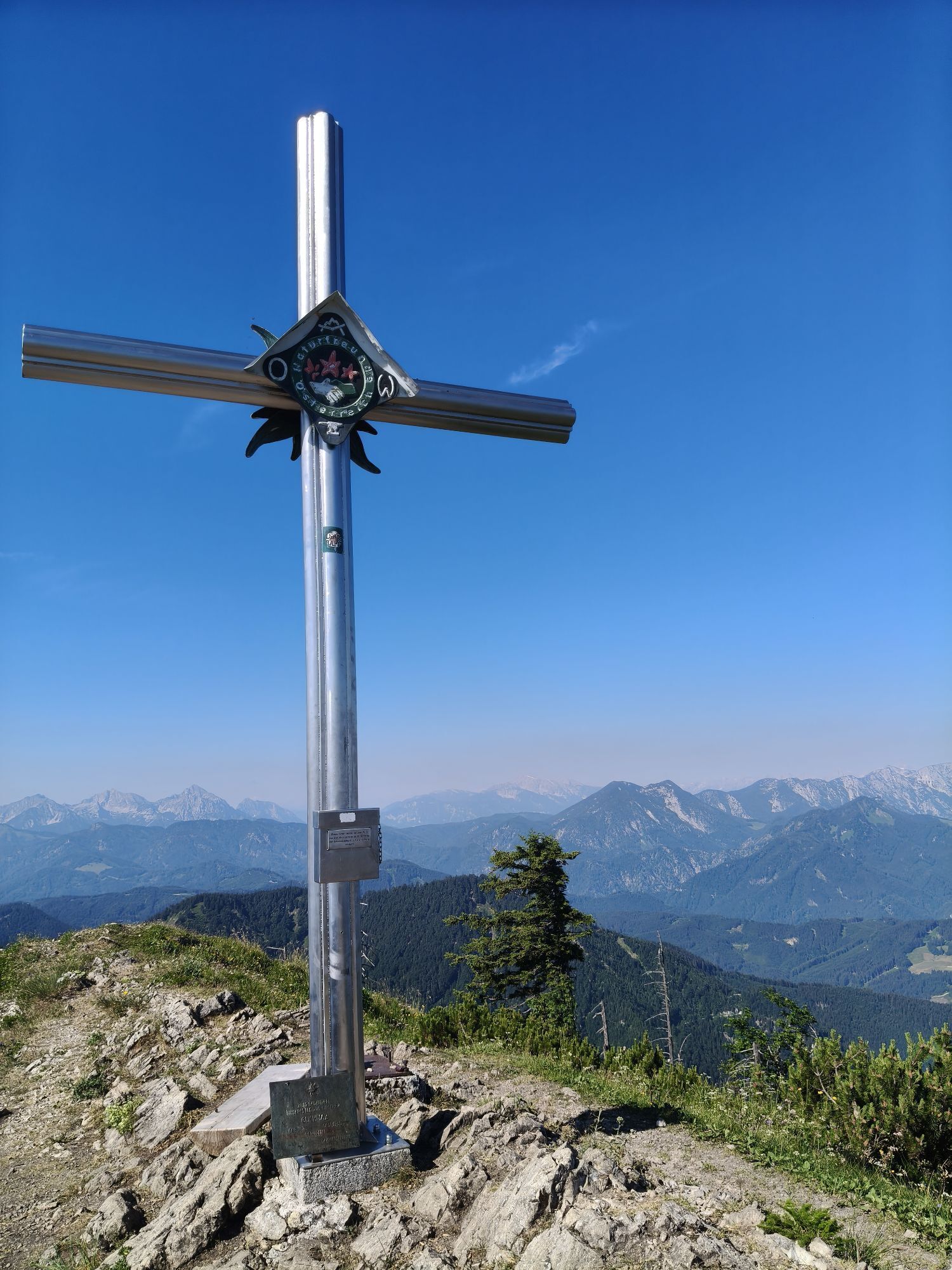
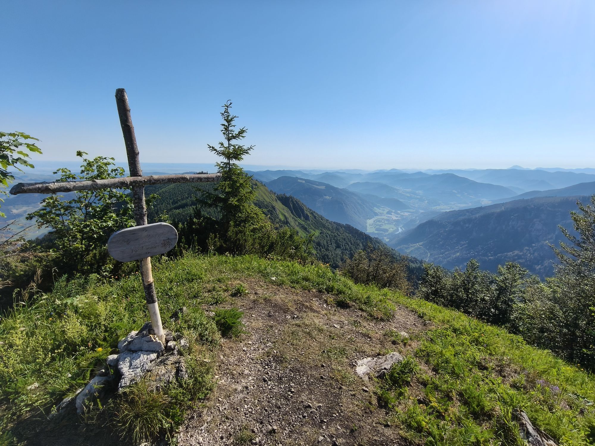
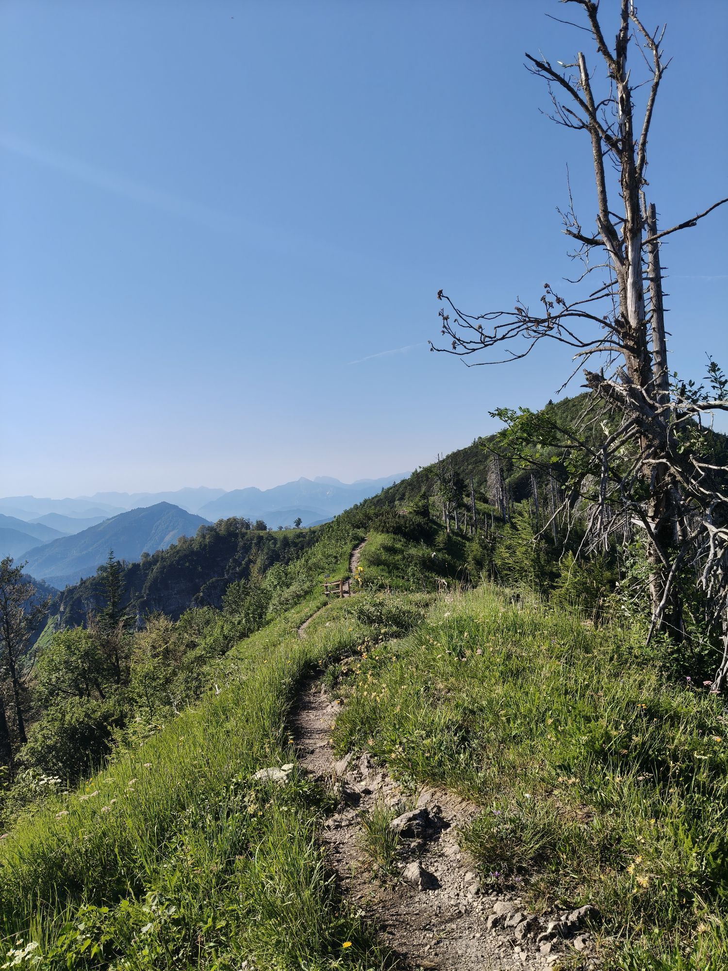
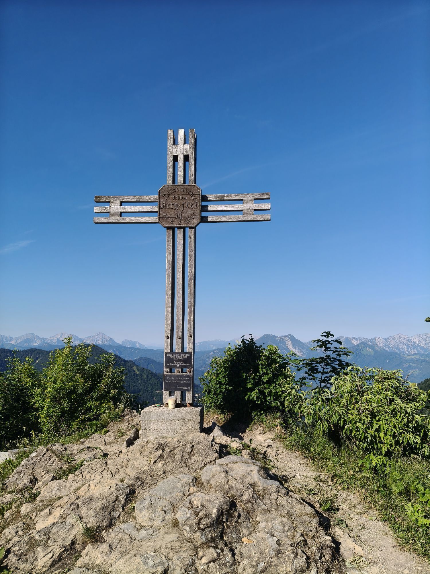
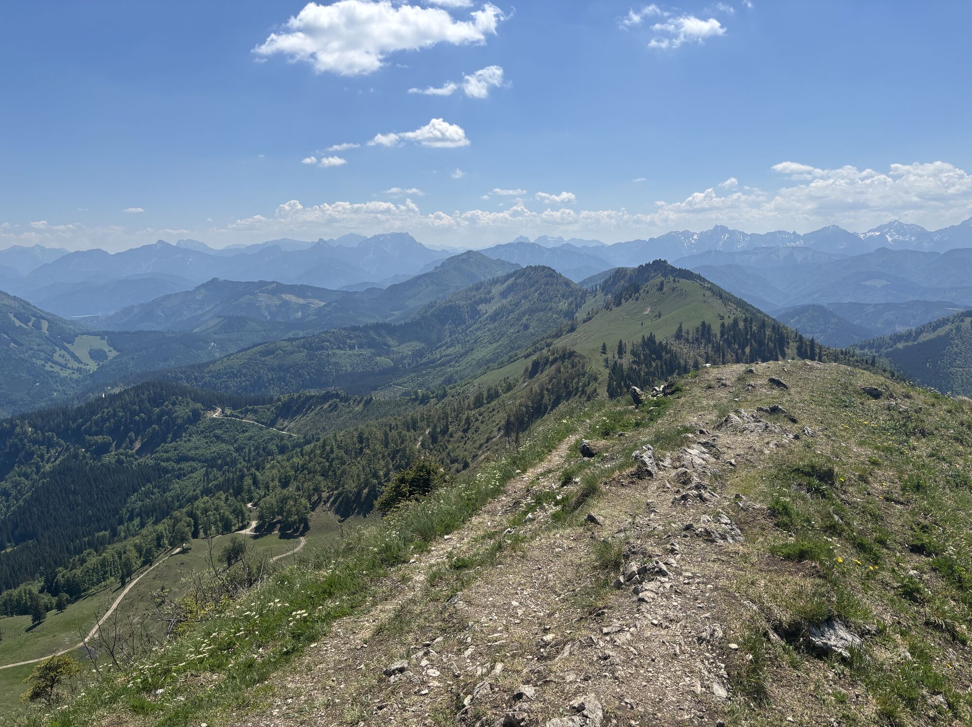
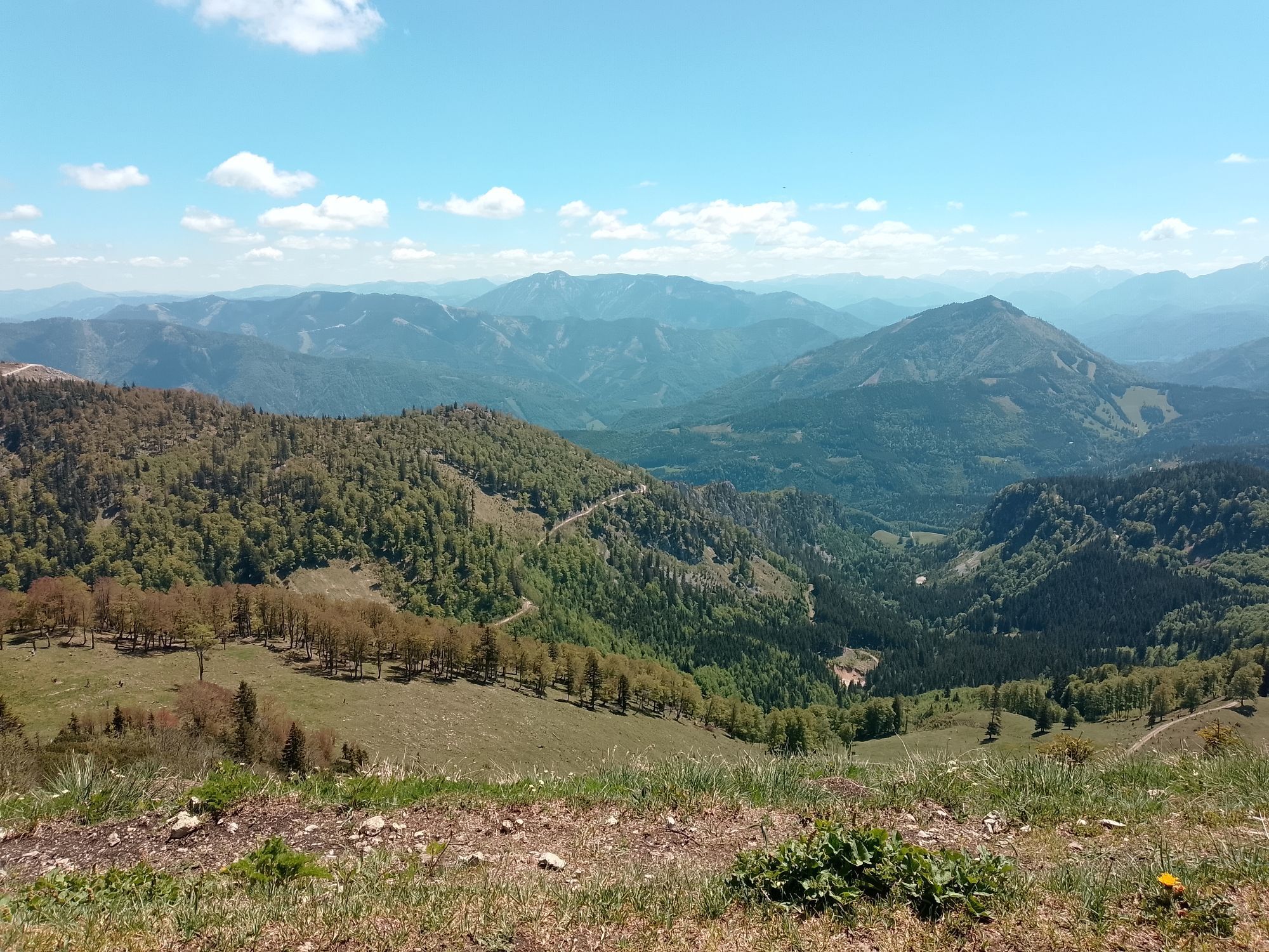
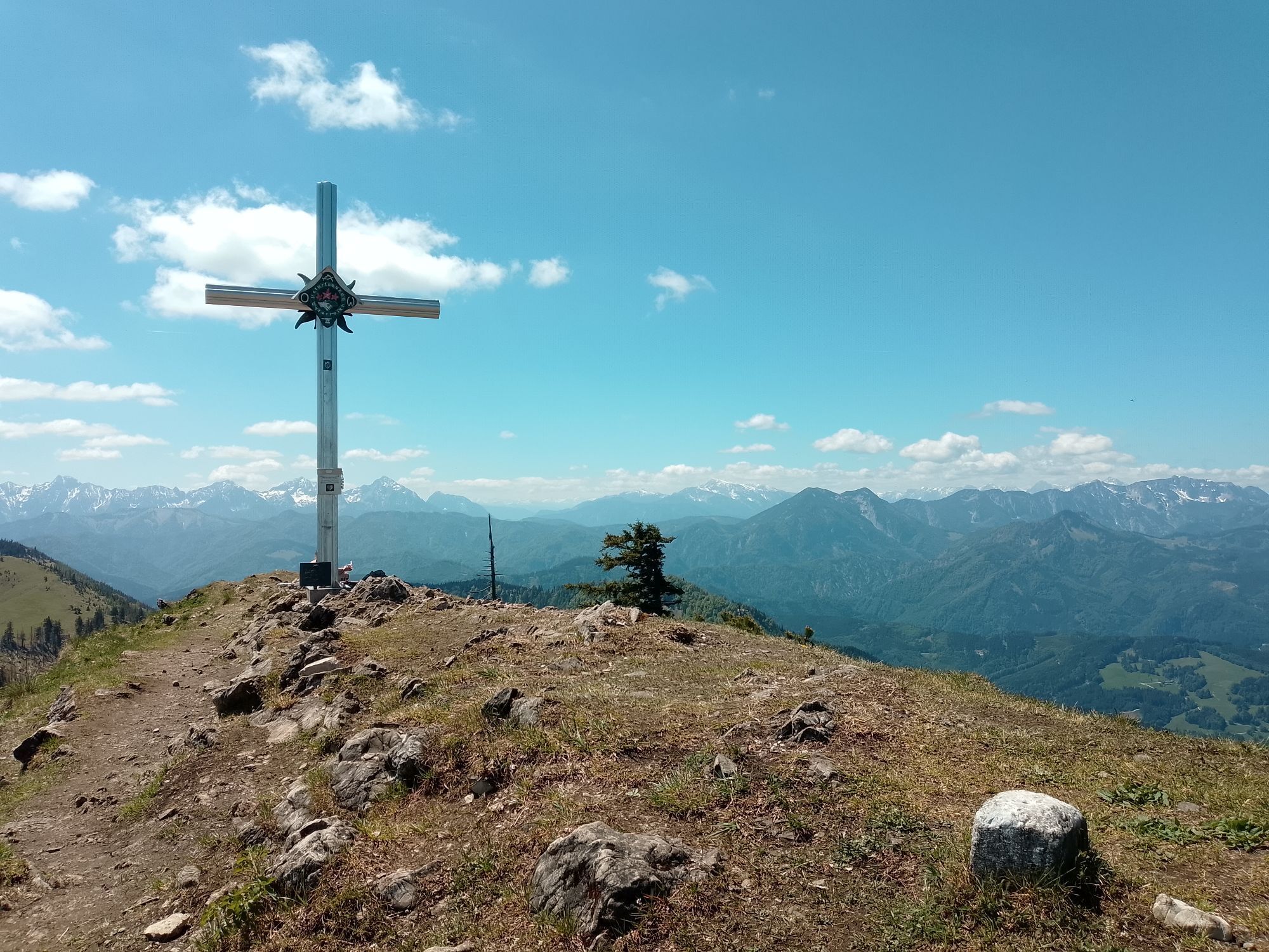
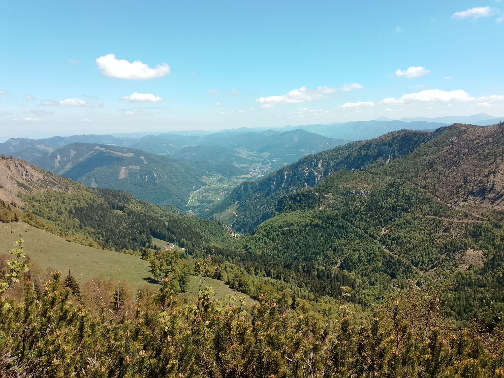
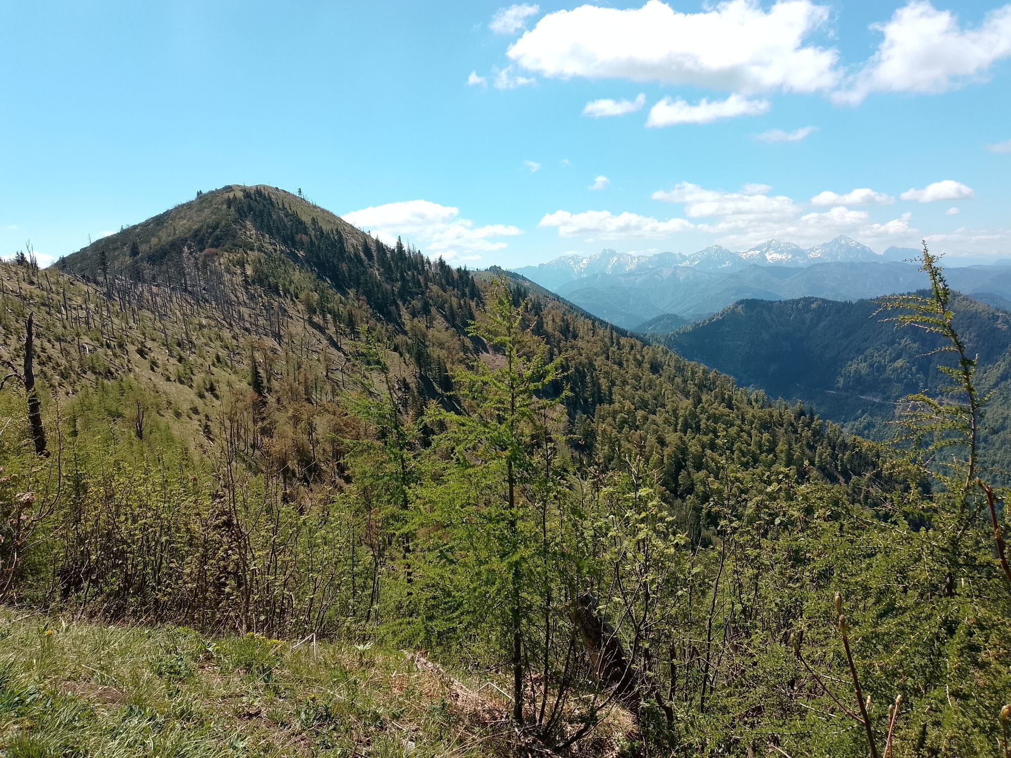
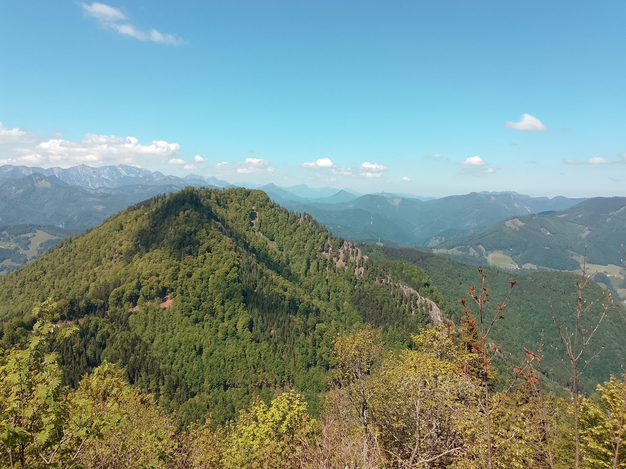
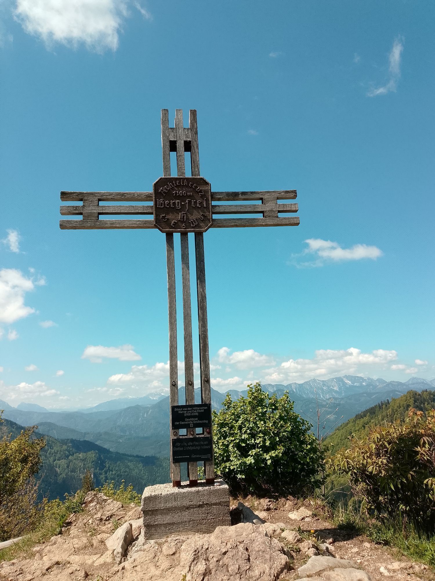

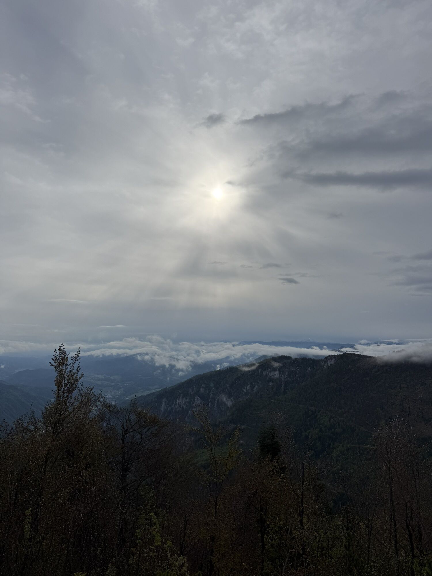
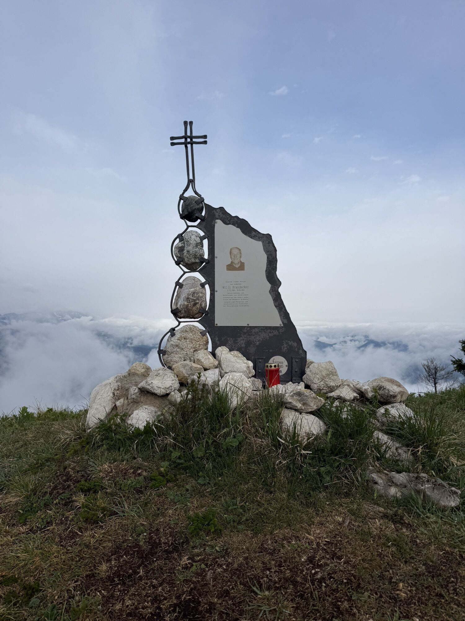
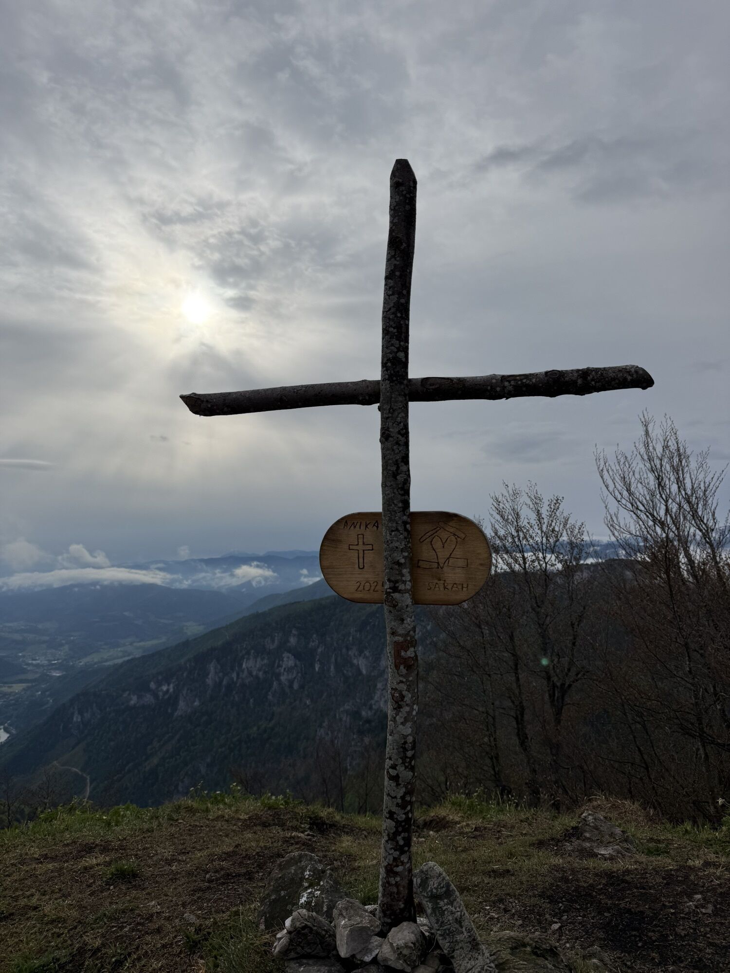
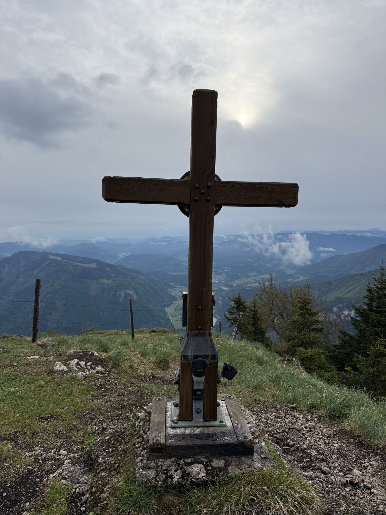
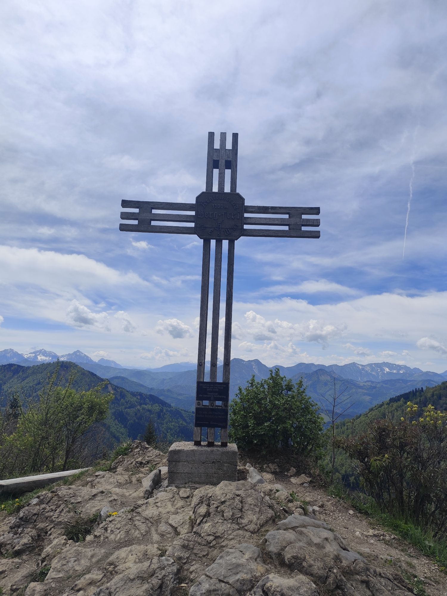
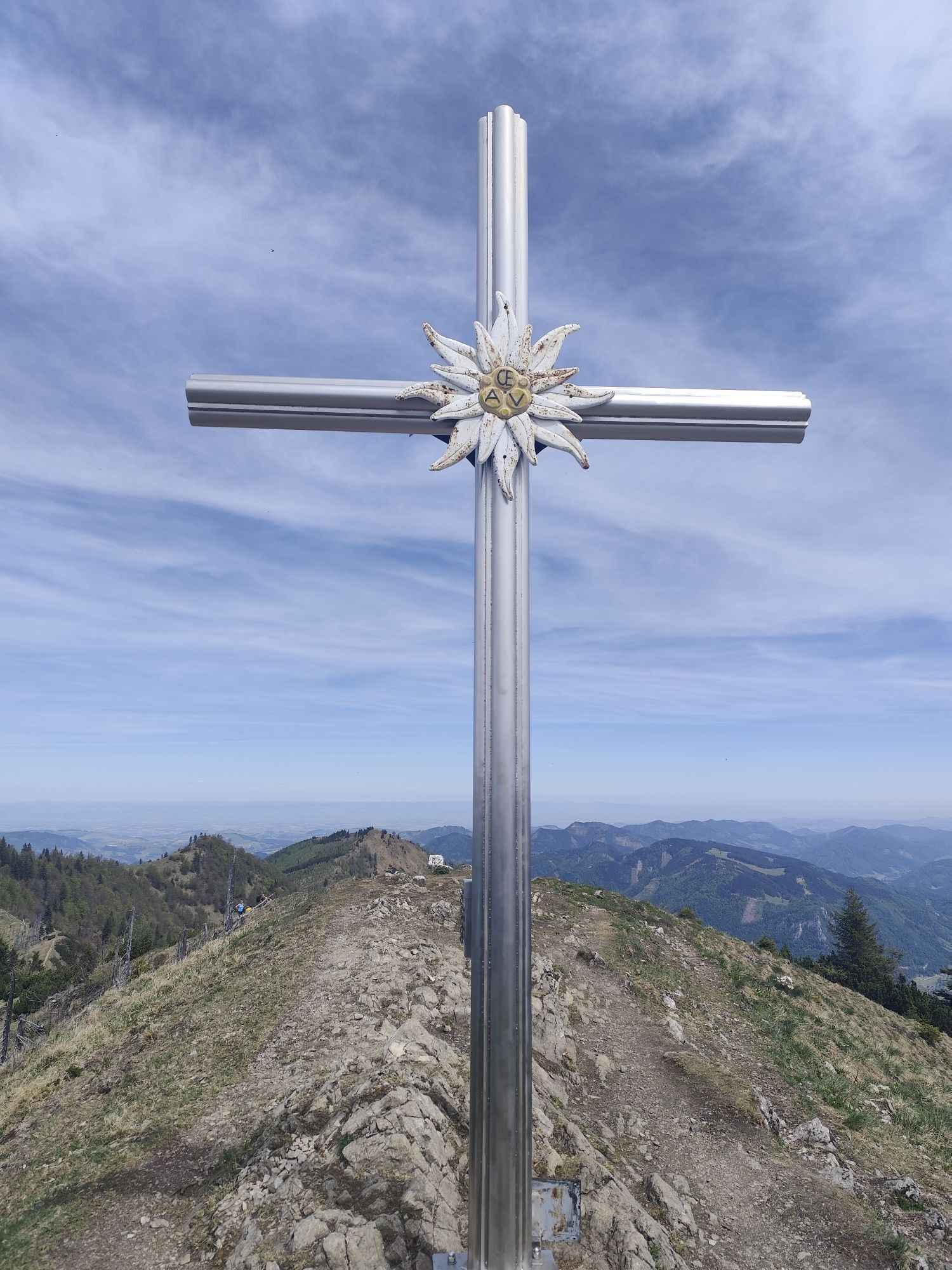
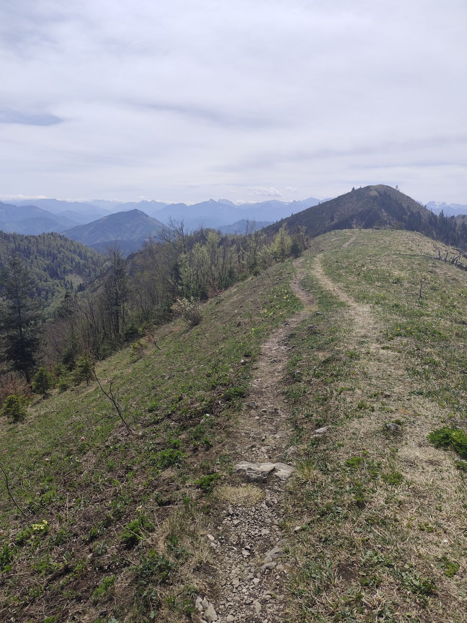
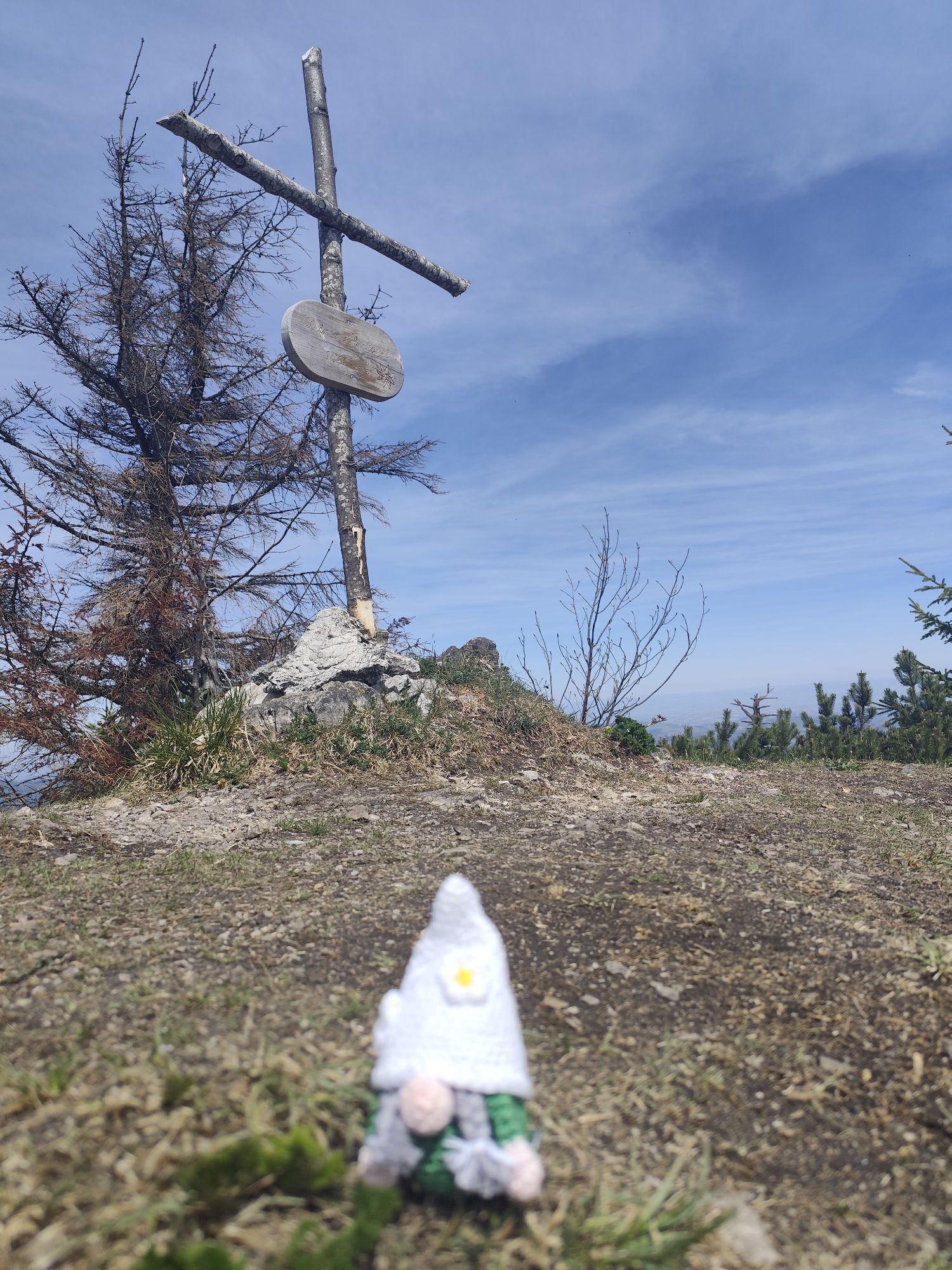
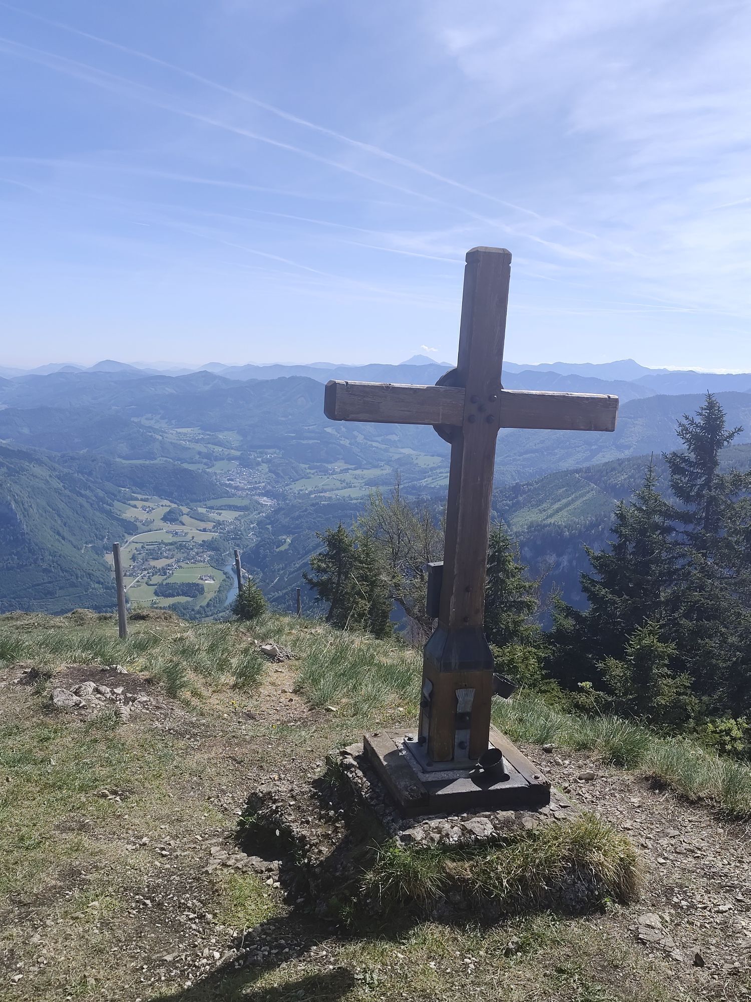
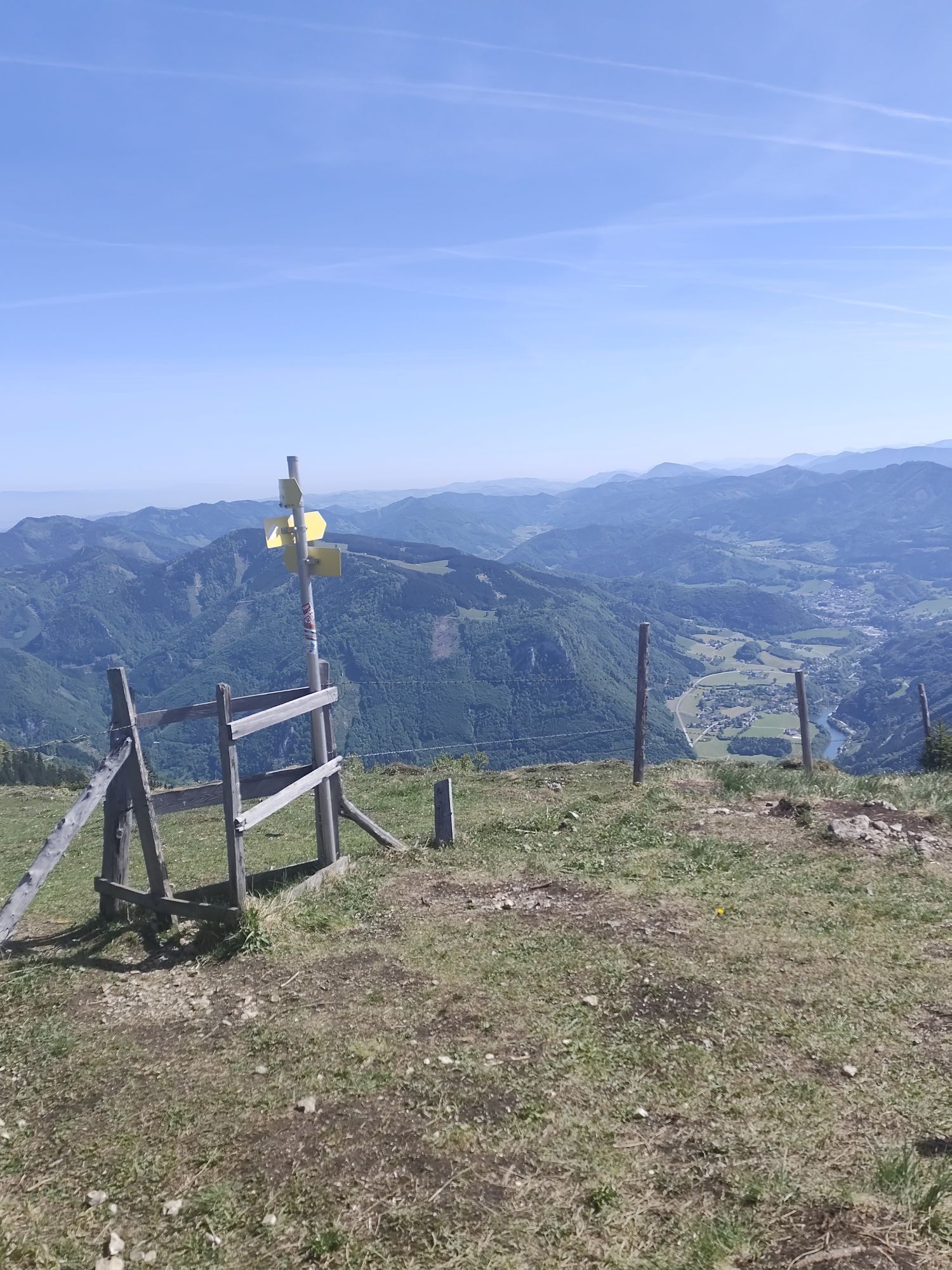
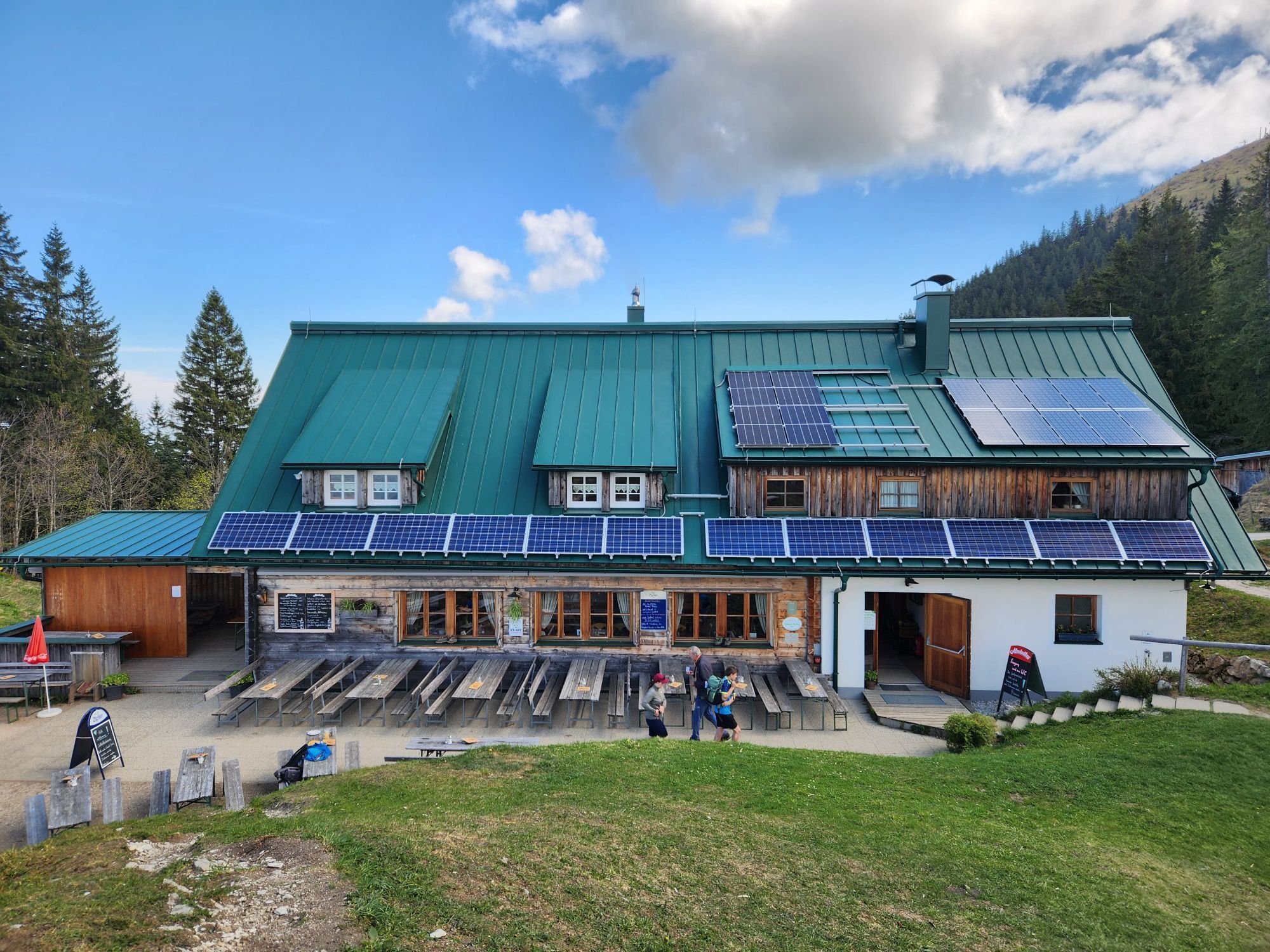
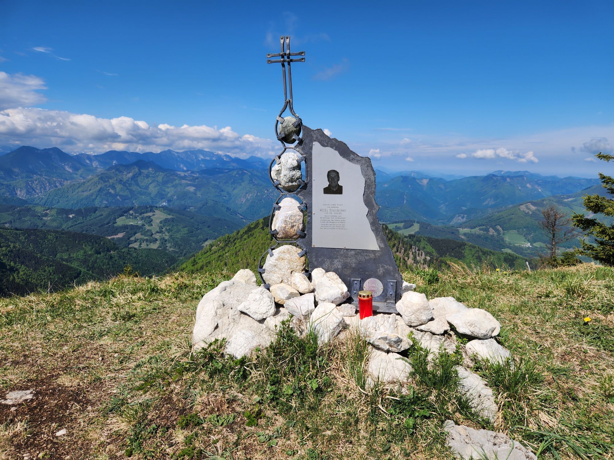
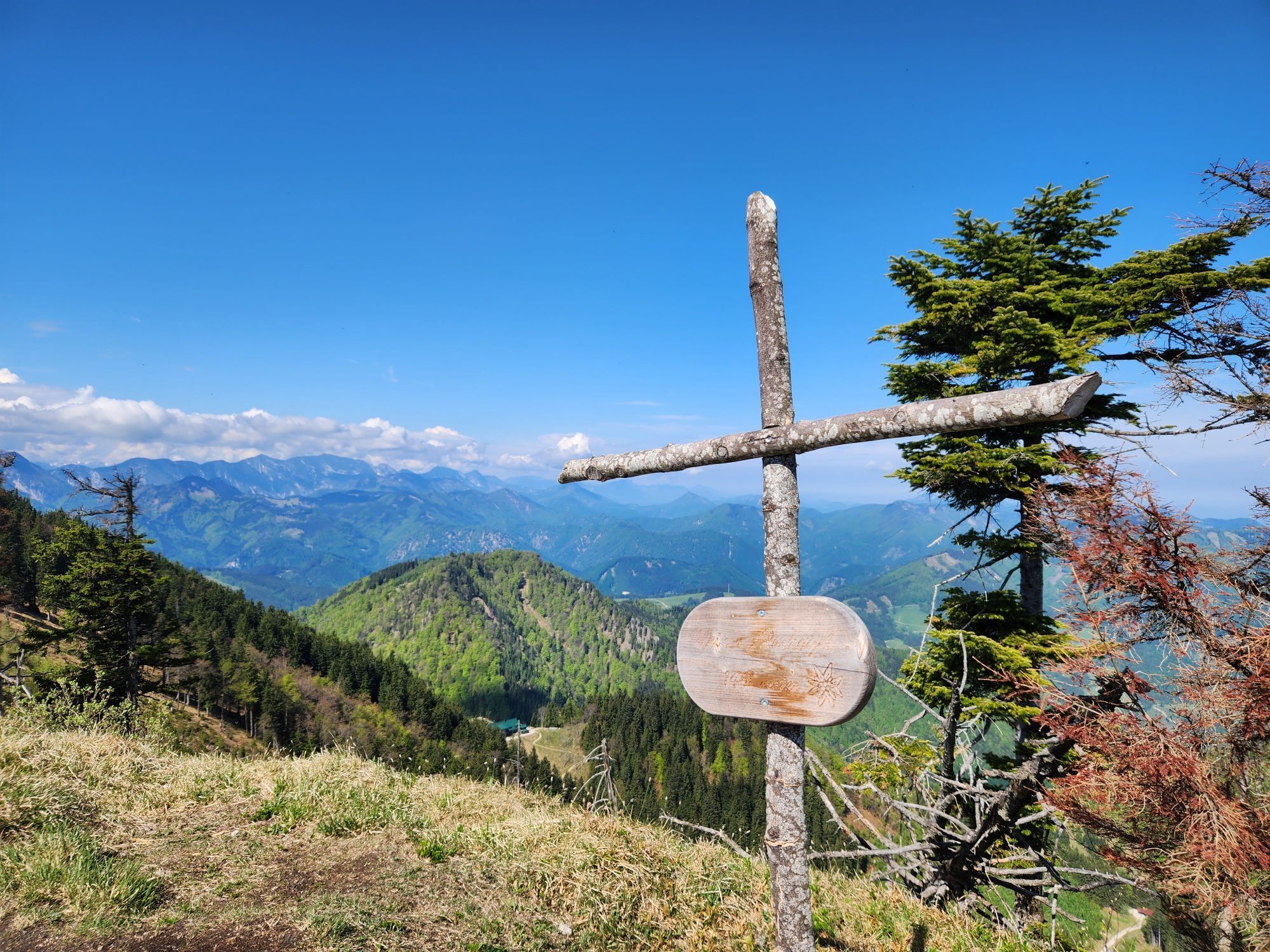
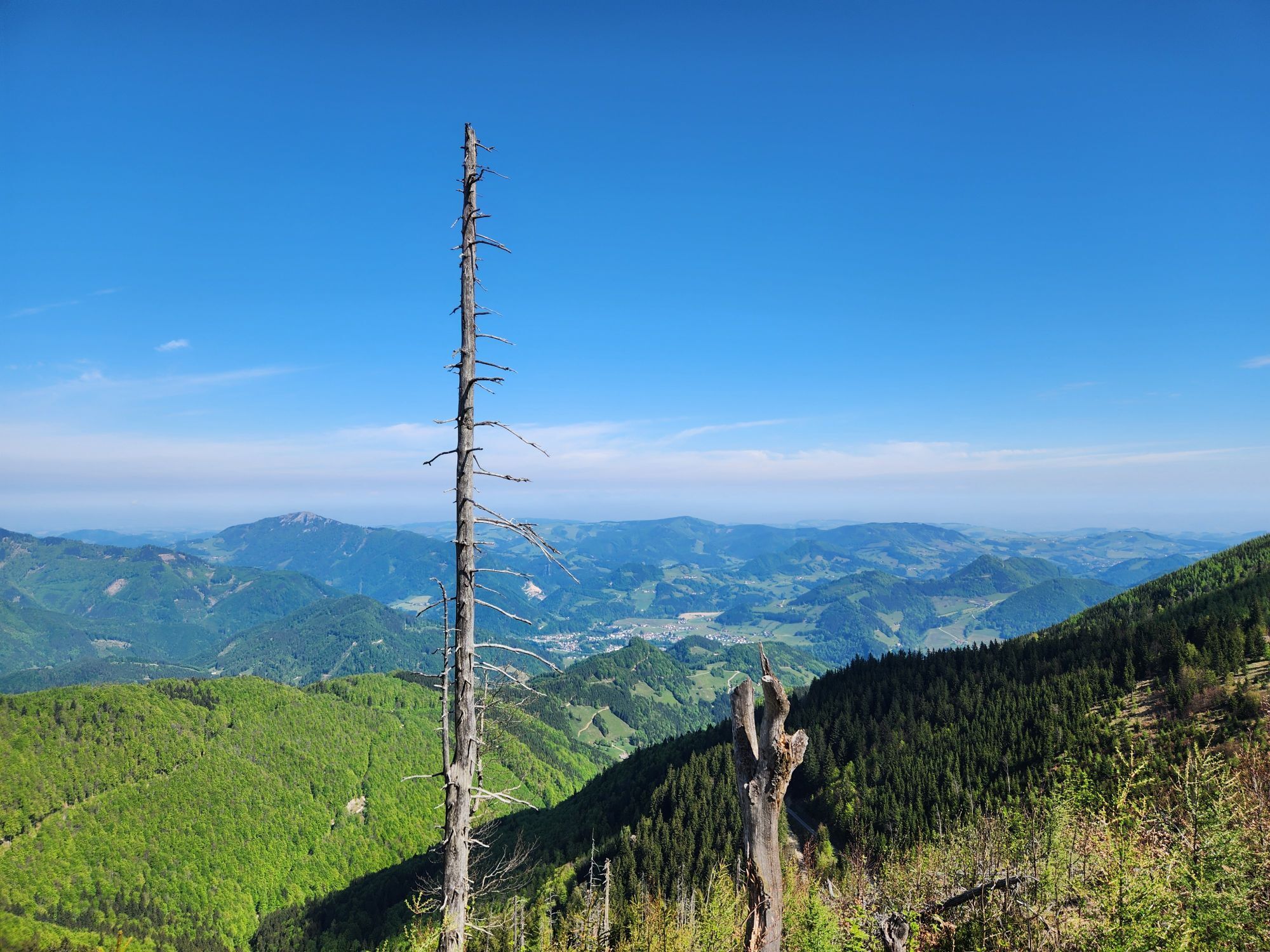
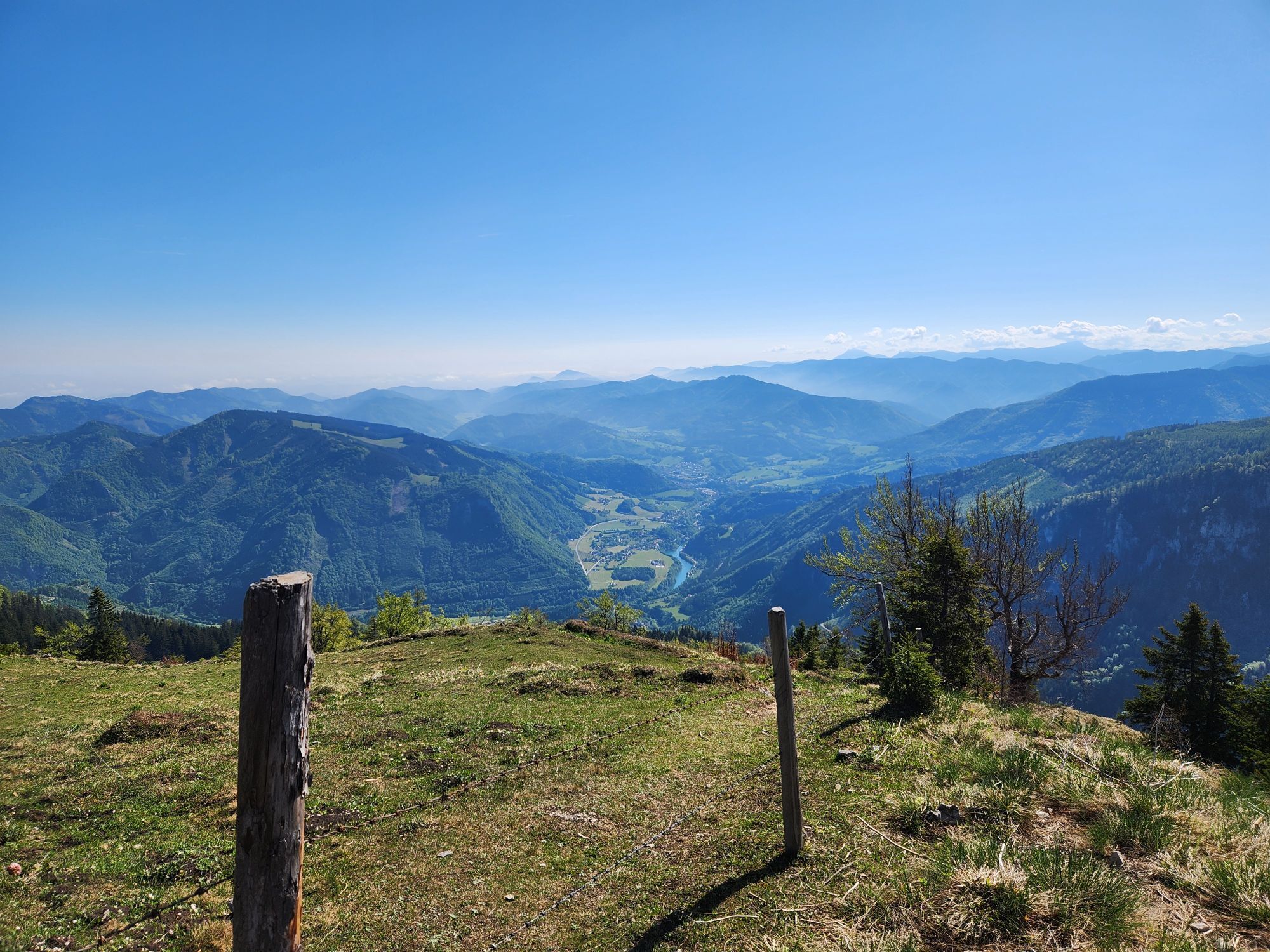
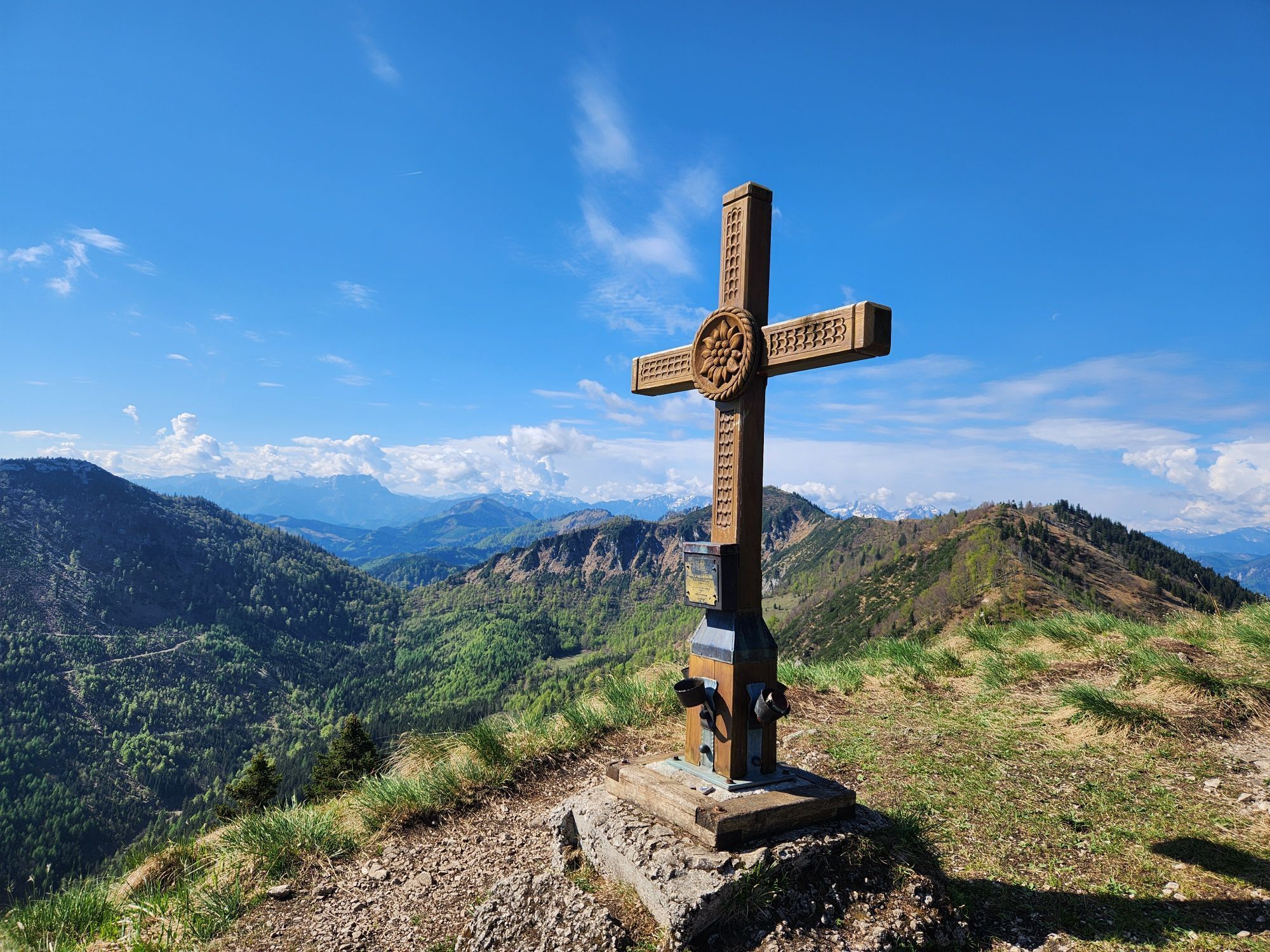
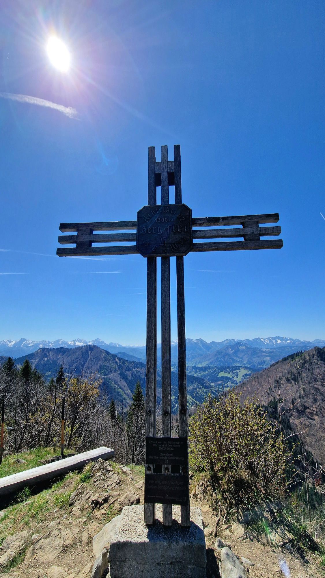
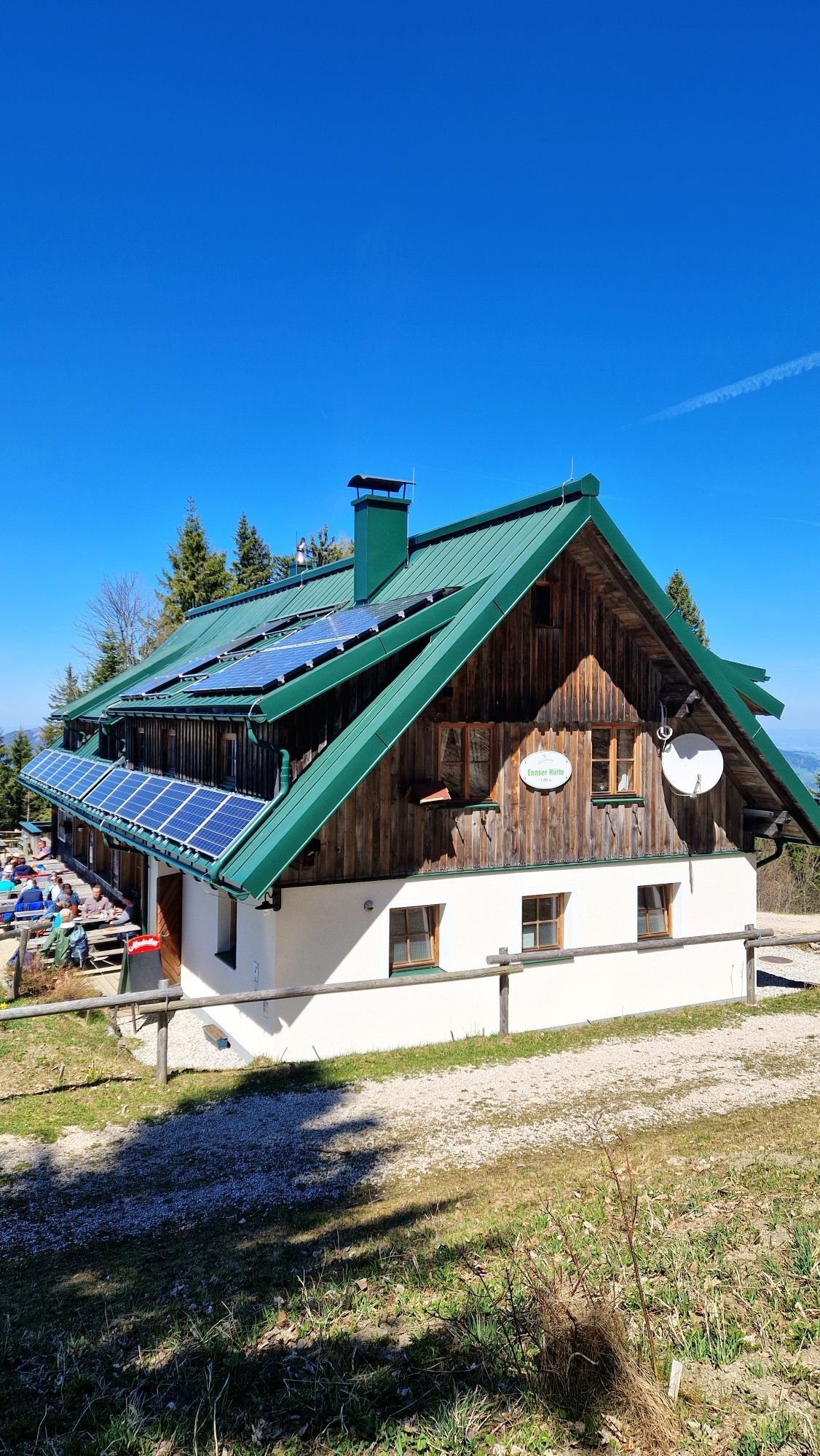
This extensive hike starts from the Bamacher parking lot and leads east along the forest road near the Ninahütte and then on a path to Burgspitz. From Burgspitz (1,429 m) return, you stay on the ridge...
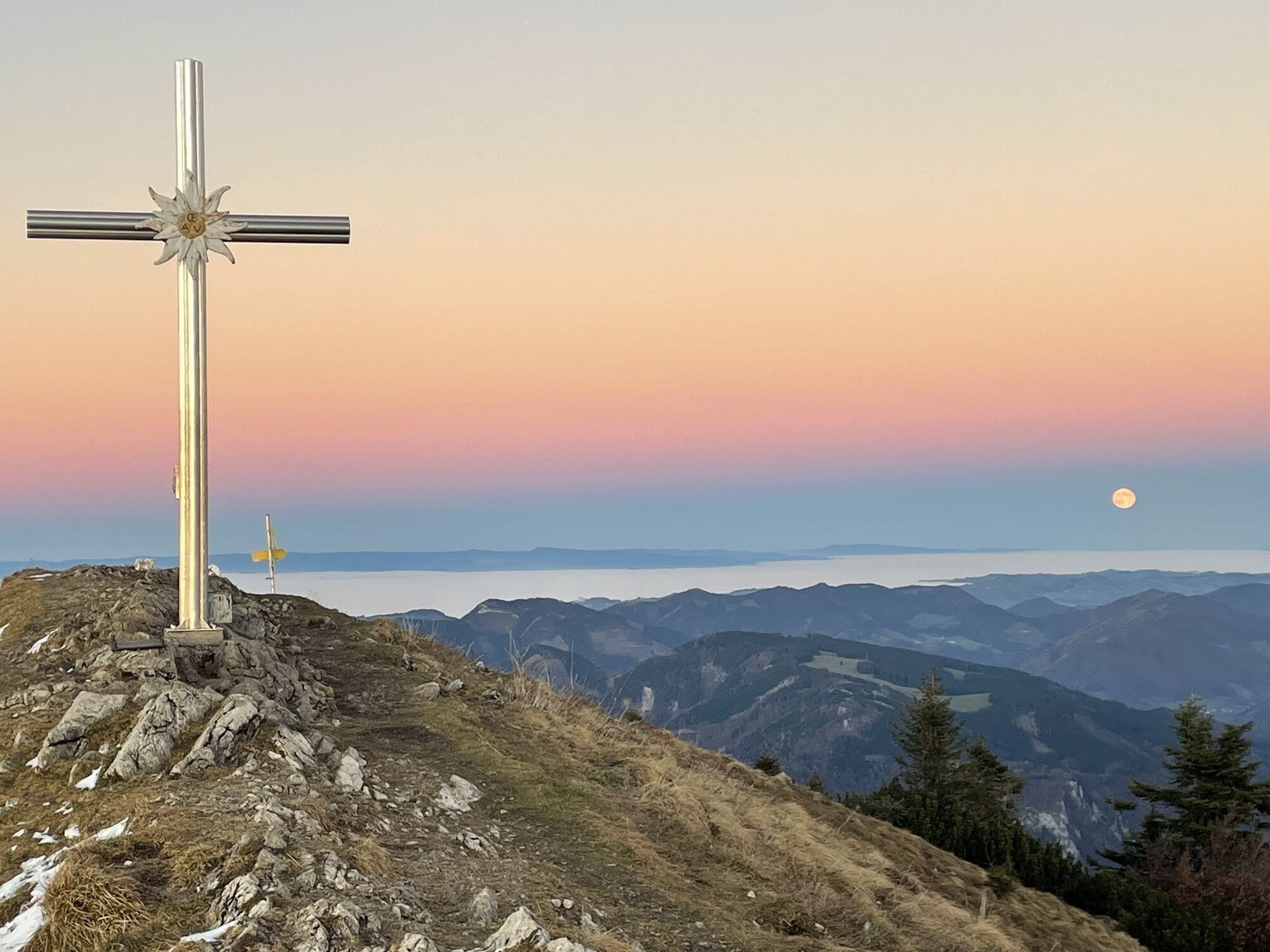
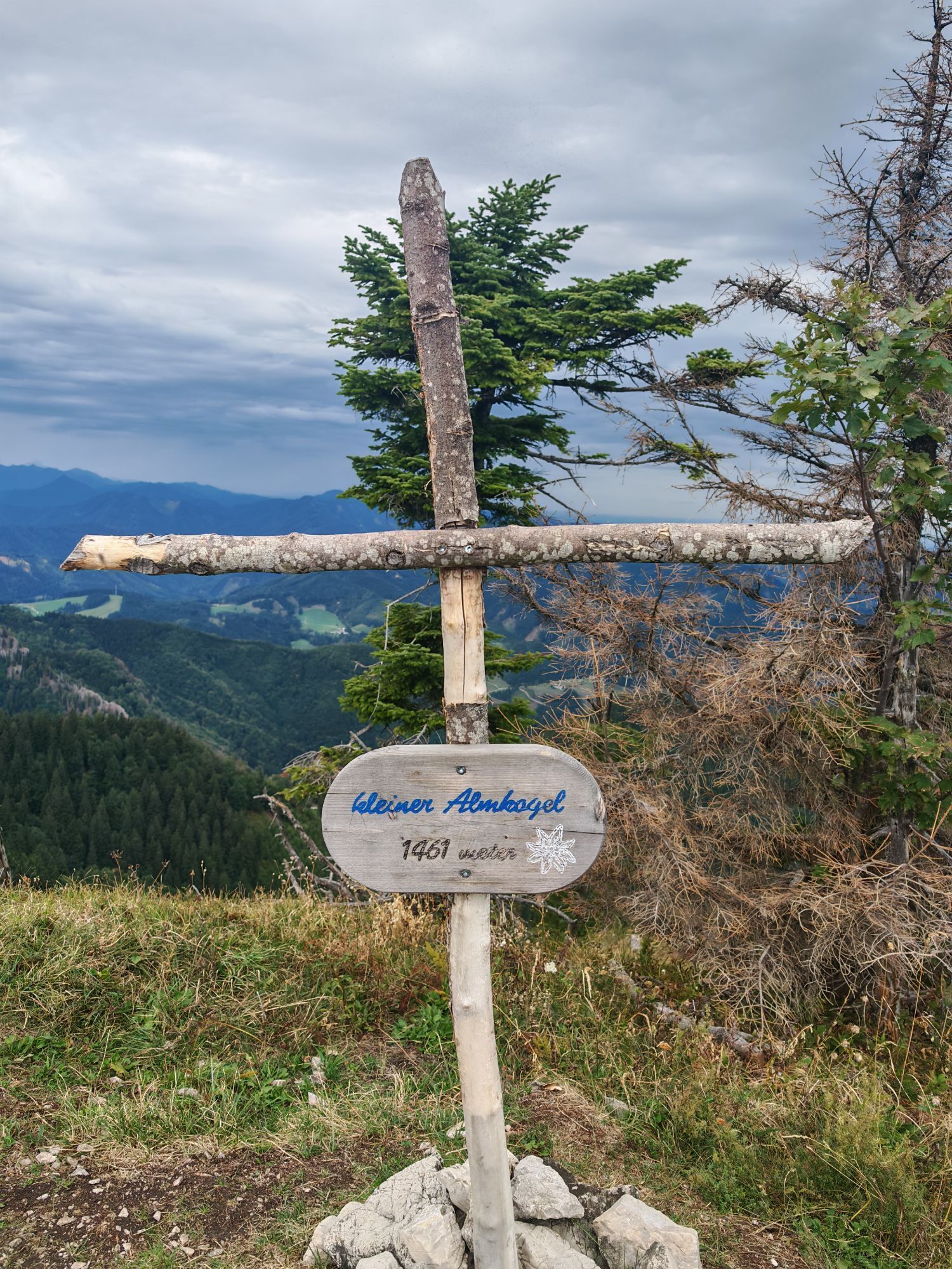
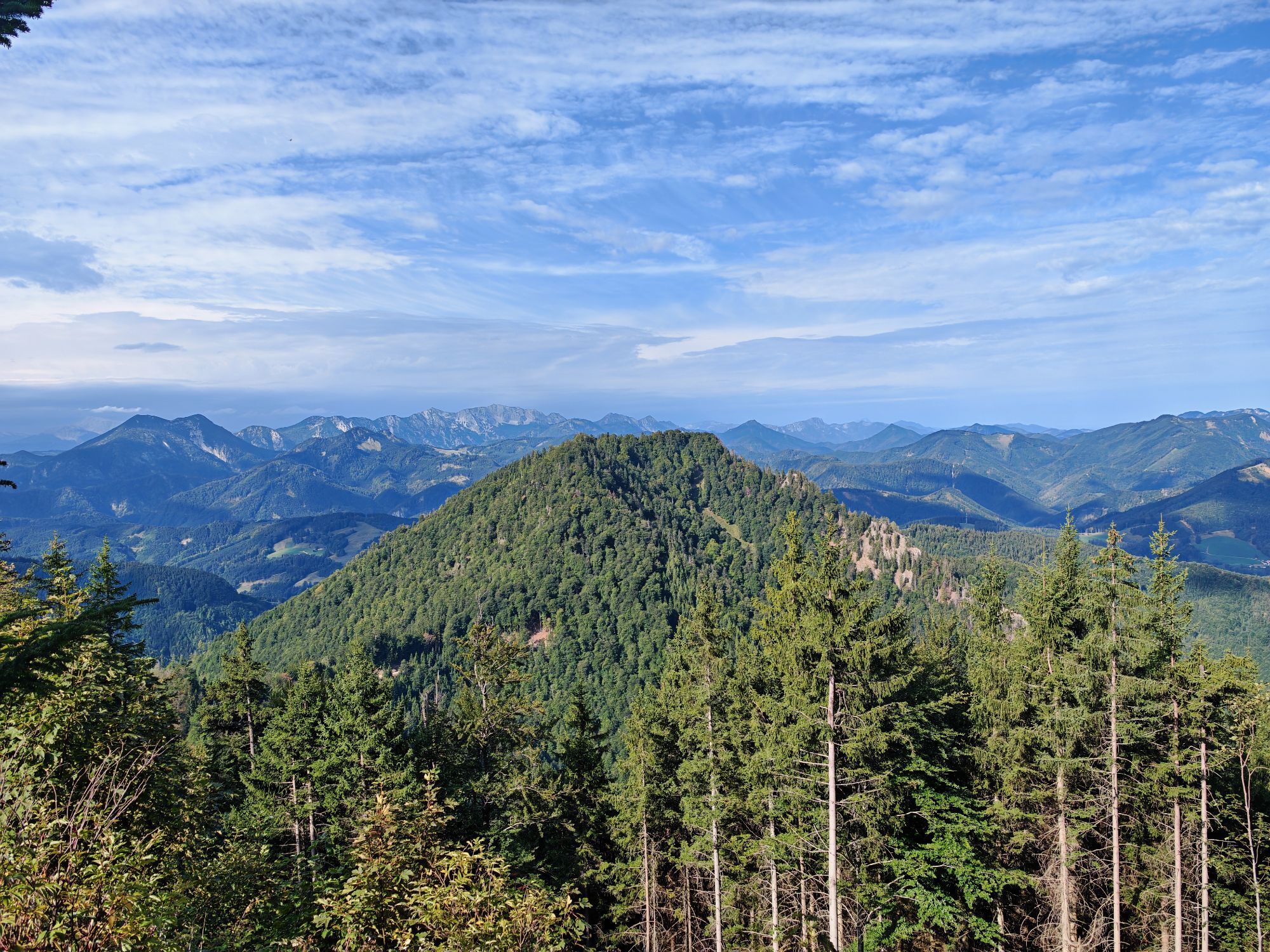
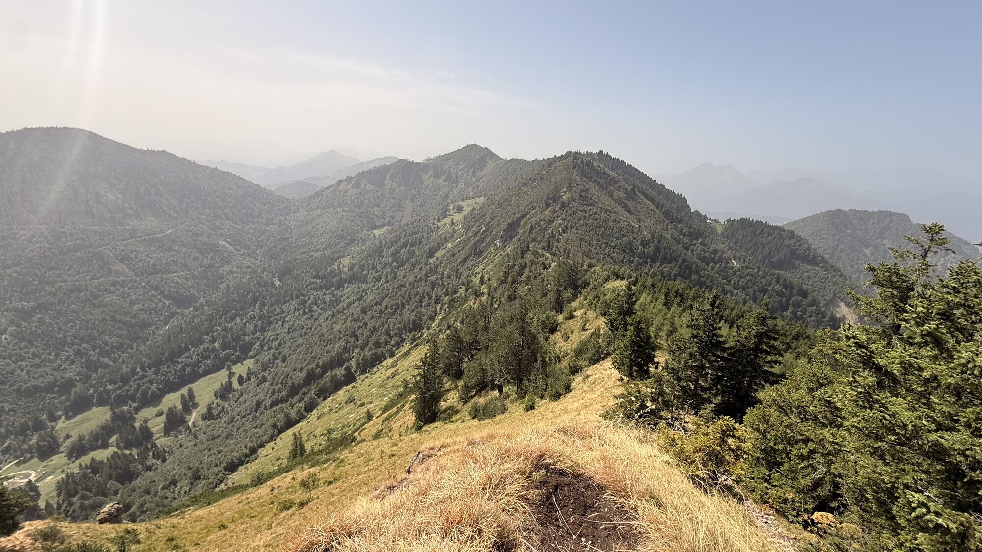
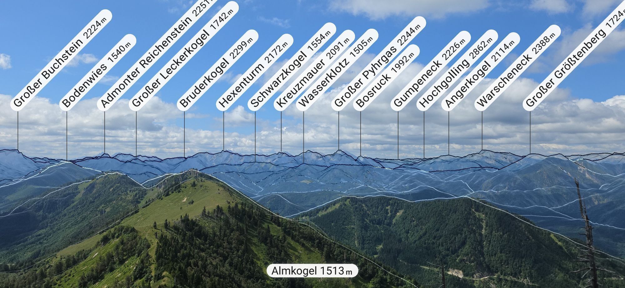
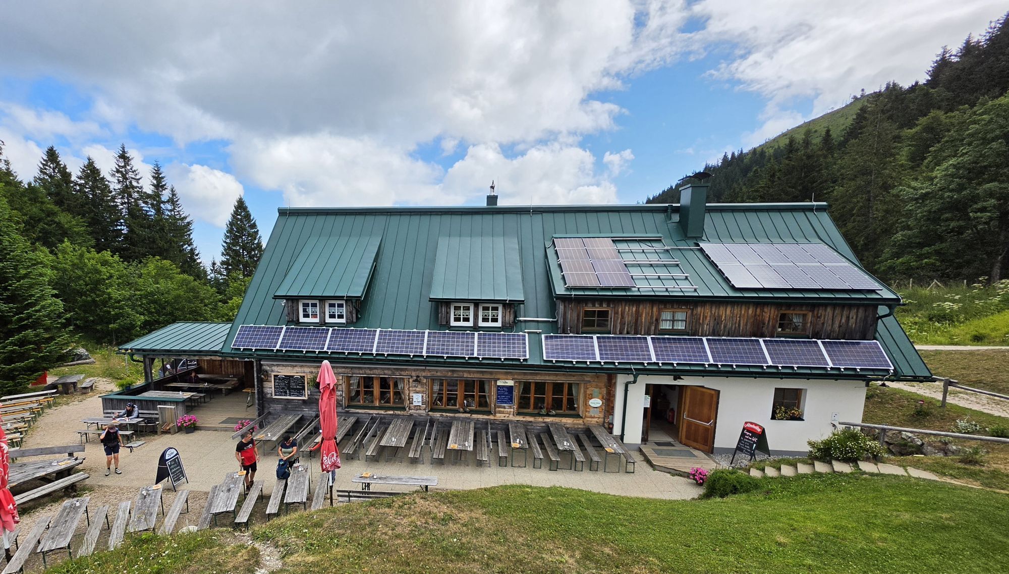
This extensive hike starts from the Bamacher parking lot and leads east along the forest road near the Ninahütte and then on a path to Burgspitz. From Burgspitz (1,429 m) return, you stay on the ridge and hike south over the Kleiner Almkogel and the Brunnbacheck (1,472 m) to the Almkogel (1,513 m). The hike goes back a short way and then descends left to the Ennser Hut and returns on the trail to the starting point.
Hiking trail: 492, E10, E11

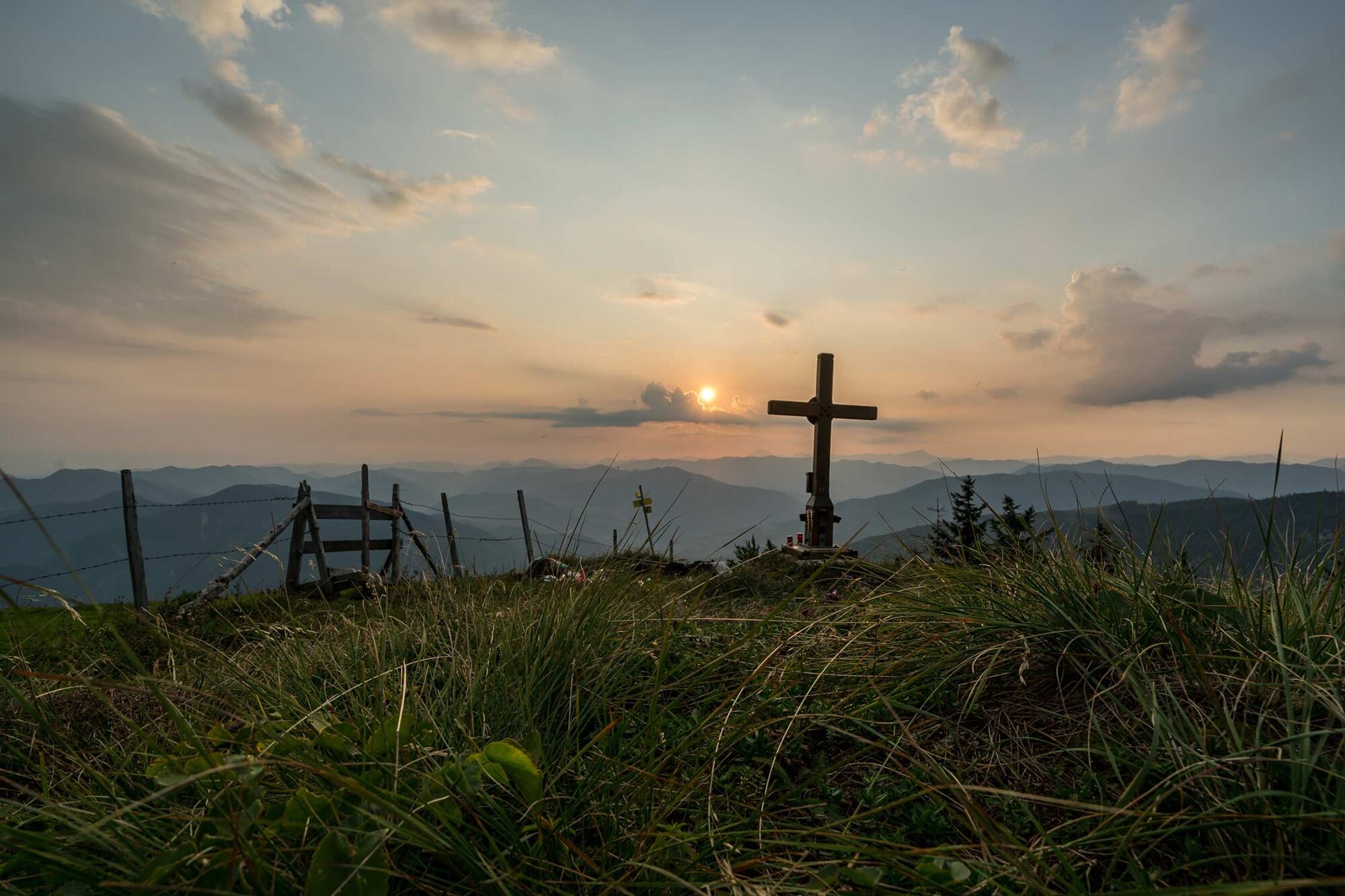
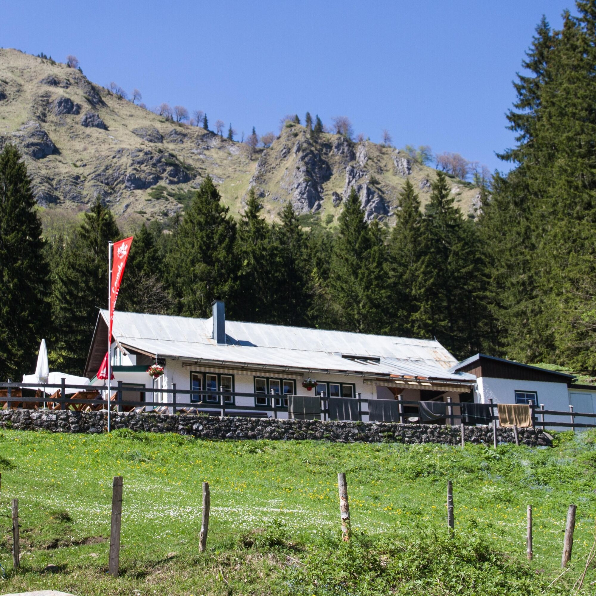
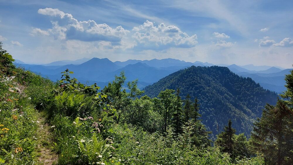
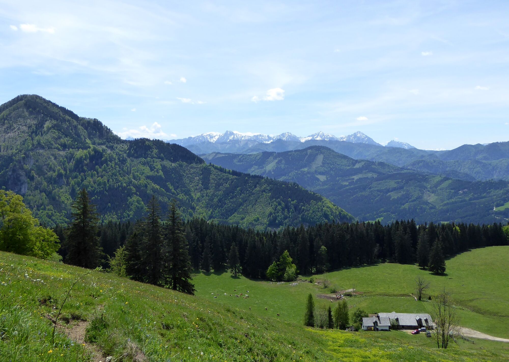
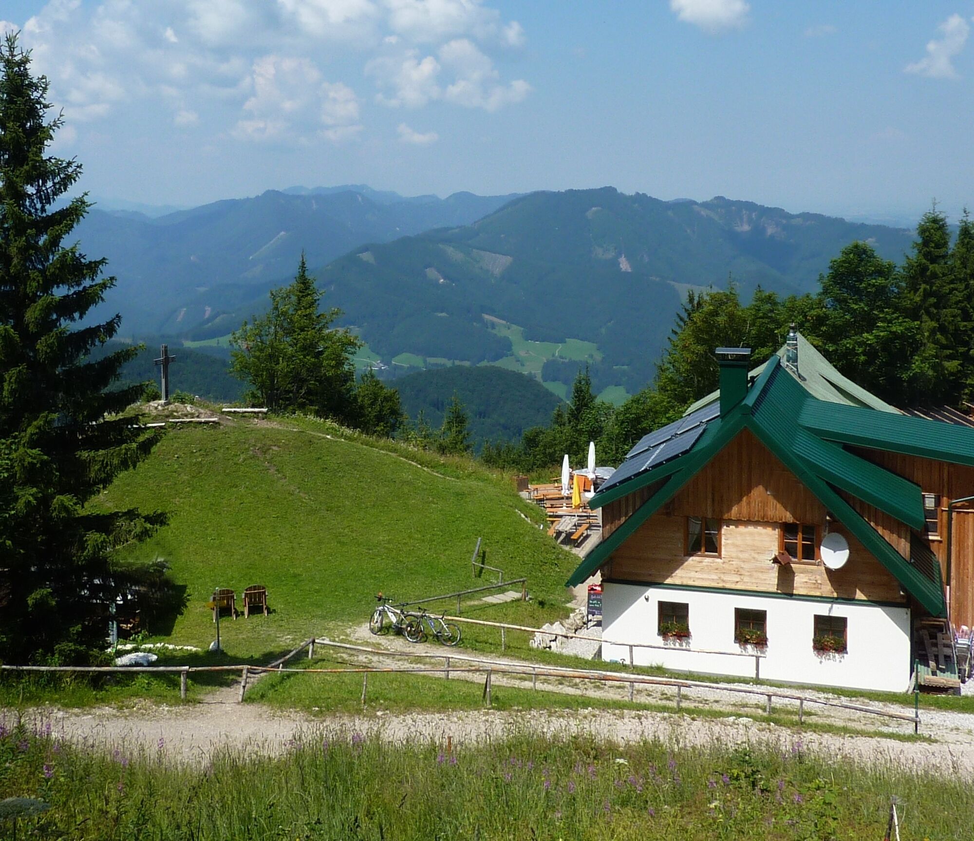

From the Bamacher parking lot, the hike leads up through the forest on paths (trail 492). After about half an hour and crossing the forest road twice, the Ninahütte is on the right. The shortest way to the Ennser Hut would lead straight ahead from there on the trail. This extensive circular hike continues east on the forest road towards Burgspitz. At a bend, the path leads up a path to the ridge and from there Burgspitz on the left side is soon reached. From Burgspitz back, you stay on the ridge and hike south over the Kleiner Almkogel and the Brunnbacheck to the Almkogel. The hike goes back a short way on the same path and then descends left to the Ennser Hut and returns on the trail to the starting point.
Da
Da
Drinks should always be in your backpack anyway. However, we also recommend bringing at least a small snack because the opportunity to eat at the Ennser Hut is only in the last part of the hike.
From Vienna: A1 motorway exit Haag > B42 > B122 > B115 into the Enns Valley
From Passau: A8 Passau > Wels > A1 motorway exit Enns-Steyr > B115 into the Enns Valley
From Graz: A9 Pyhrnautobahn > motorway exit Klaus > Grünburg > into the Ennstal valley
Railway stations are located in Ternberg, Trattenbach, Losenstein, Reichraming, Großraming, Gaflenz, Weyer, Küpfern, Kastenreith, Kleinreifling and Weißenbach-St. Gallen.
Gravel parking lot
Along the mountain ridge you can discover orchids and other botanical treasures.
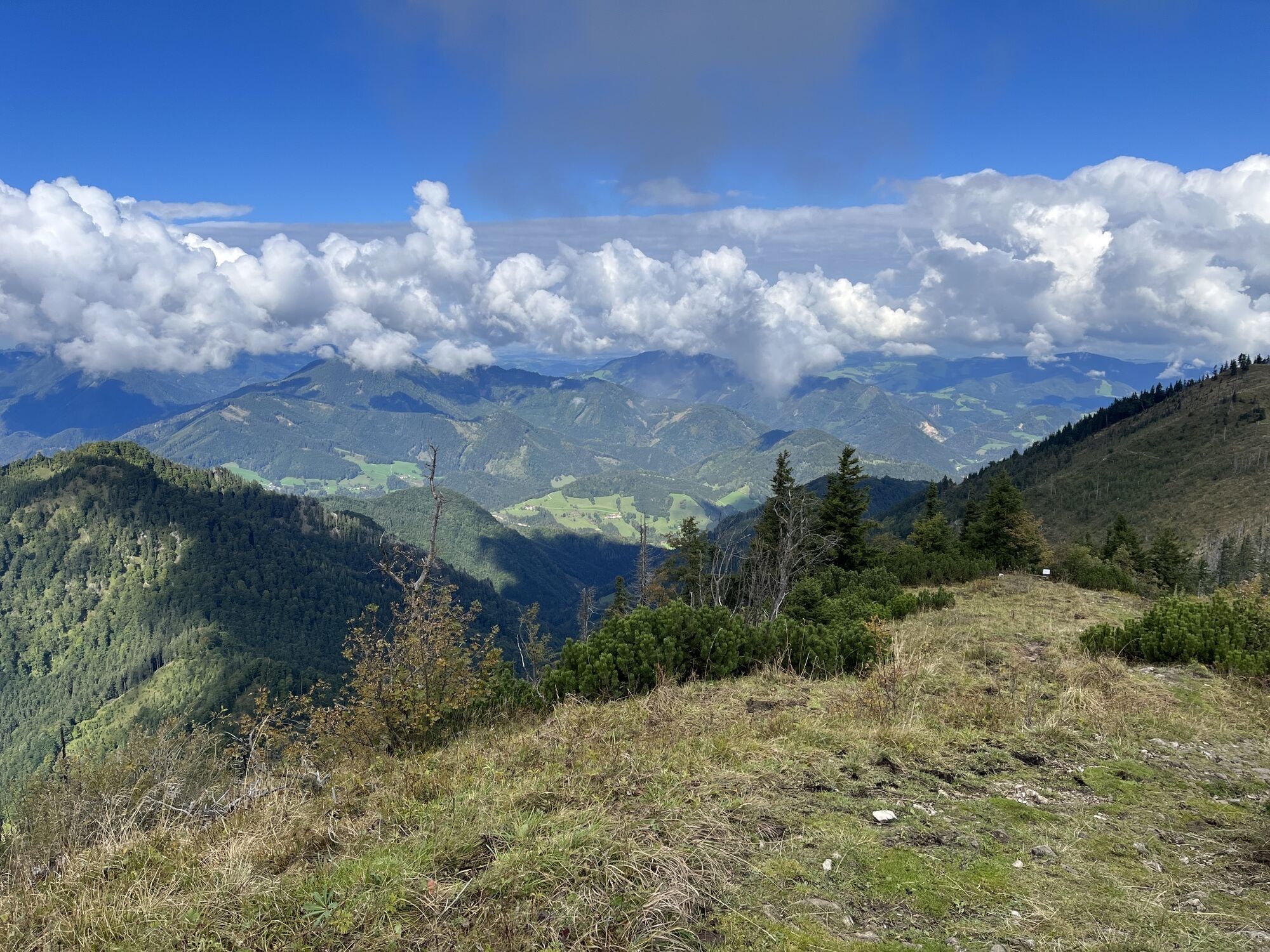
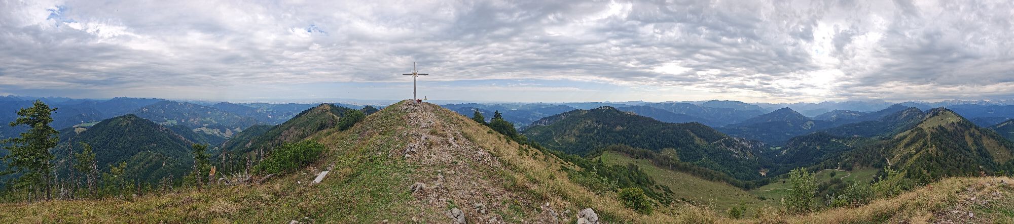
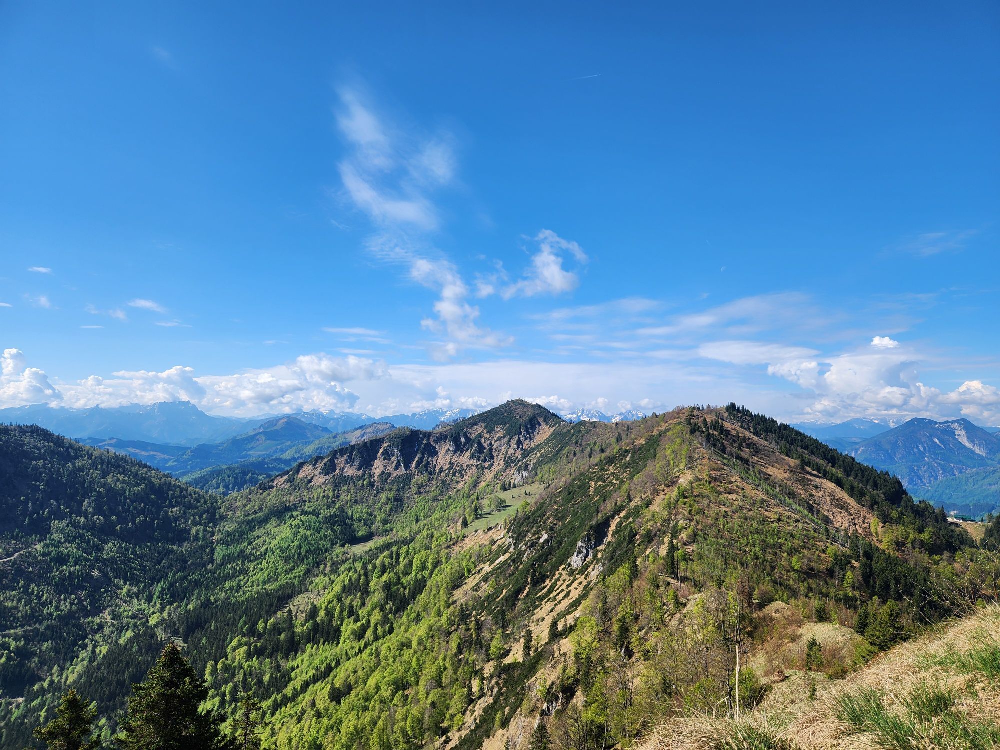
Weyrer Bogen: The hike leads over part of this geological peculiarity. The mountain range from Gaflenz - Spindeleben and Lindau Mauer - to Weyer/Unterlaussa - Bodenwies runs not from west to east but from north to south. This phenomenon can be seen very well on the ridge between Burgspitz and Almkogel.


Dejavnosti na poti
-

Großraming, Oberösterreich/Österreich
29.09.2026 – Pohodništvo -

Großraming, Oberösterreich/Österreich
19.09.2026 – Pohodništvo -

Großraming, Oberösterreich/Österreich
11.09.2026 – Pohodništvo -

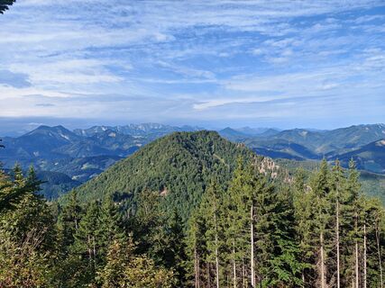
Großraming - Almkogel, kl. Almkogel, Burgspitz
09.09.2026 – Pohodništvo -

Großraming, Oberösterreich/Österreich
26.08.2026 – Pohodništvo -
Großraming, Oberösterreich/Österreich
20.08.2026 – Pohodništvo -

Großraming, Oberösterreich/Österreich
02.08.2026 – Pohodništvo -

Almkogel, Oberösterreich/Österreich
28.07.2026 – Pohodništvo -

Großraming, Oberösterreich/Österreich
28.07.2026 – Pohodništvo -
Großraming, Oberösterreich/Österreich
26.07.2026 – Pohodništvo -

Großraming, Oberösterreich/Österreich
02.07.2026 – Visokogorska tura -
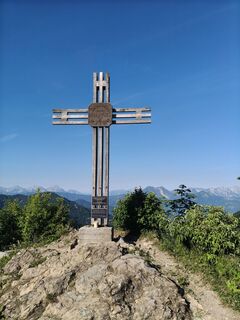
Ennser Hütte - kl. Almkogel - gr. Almkogel
25.06.2026 – Pohodništvo -

Großraming, Oberösterreich/Österreich
20.06.2026 – Pohodništvo -

Großraming, Oberösterreich/Österreich
04.06.2026 – Pohodništvo -

Weyer, Oberösterreich/Österreich
30.05.2026 – Pohodništvo -

Großraming, Oberösterreich/Österreich
18.05.2026 – Pohodništvo -
Großraming, Oberösterreich/Österreich
10.05.2026 – Pohodništvo -

Almkogel - Ennser Hütte
05.04.2026 – Pohodništvo -

Almkogel
03.01.2026 – Snežni čevlji -

Großraming, Oberösterreich/Österreich
28.12.2025 – Pohodništvo
Priljubljeni izleti v okolici
-
4.9
Ennser Hut - Almkogel (from Bamacher car park)
srednjaPohodništvo 3.53 km -
4.0
Wasserklotz
srednjaPohodništvo 5.81 km -
4.8
Steinerner Jäger (1185m) und Schieferstein (1206m) ab Parkplatz Hochhabichler
srednjaPohodništvo 4.46 km -
4.7
Steinerner Jäger (1185m) und Schieferstein (1206m) ab Parkplatz Hack
težkoPohodništvo 8.58 km -
4.7
GROSSRAMING Bamacher, Burgspitz, Almkogel, Ennshütte 20240730
srednjaPohodništvo 10 km -
4.4
Kleine Gipfelrunde Glasenberg
svetlobaPohodništvo 4.99 km -
4.6
Gamsstein (1275m) und Gschwendtalm ab Parkplatz Brunnbach
srednjaPohodništvo 7.37 km -
4.3
Freithofberg
srednjaPohodništvo 9.15 km -
4.7
MTB - Anlaufalm (über den Hintergebirgsradweg)
srednjaMountainbike 51.0 km -
4.6
Lindaumauer, Maria Neustift
srednjaPohodništvo 5.53 km
Pohodništvo in sledenje


Ne zamudite ponudb in navdiha za naslednje počitnice
Vaš e-poštni naslov je bil dodan na poštni seznam.





