






Freithofberg
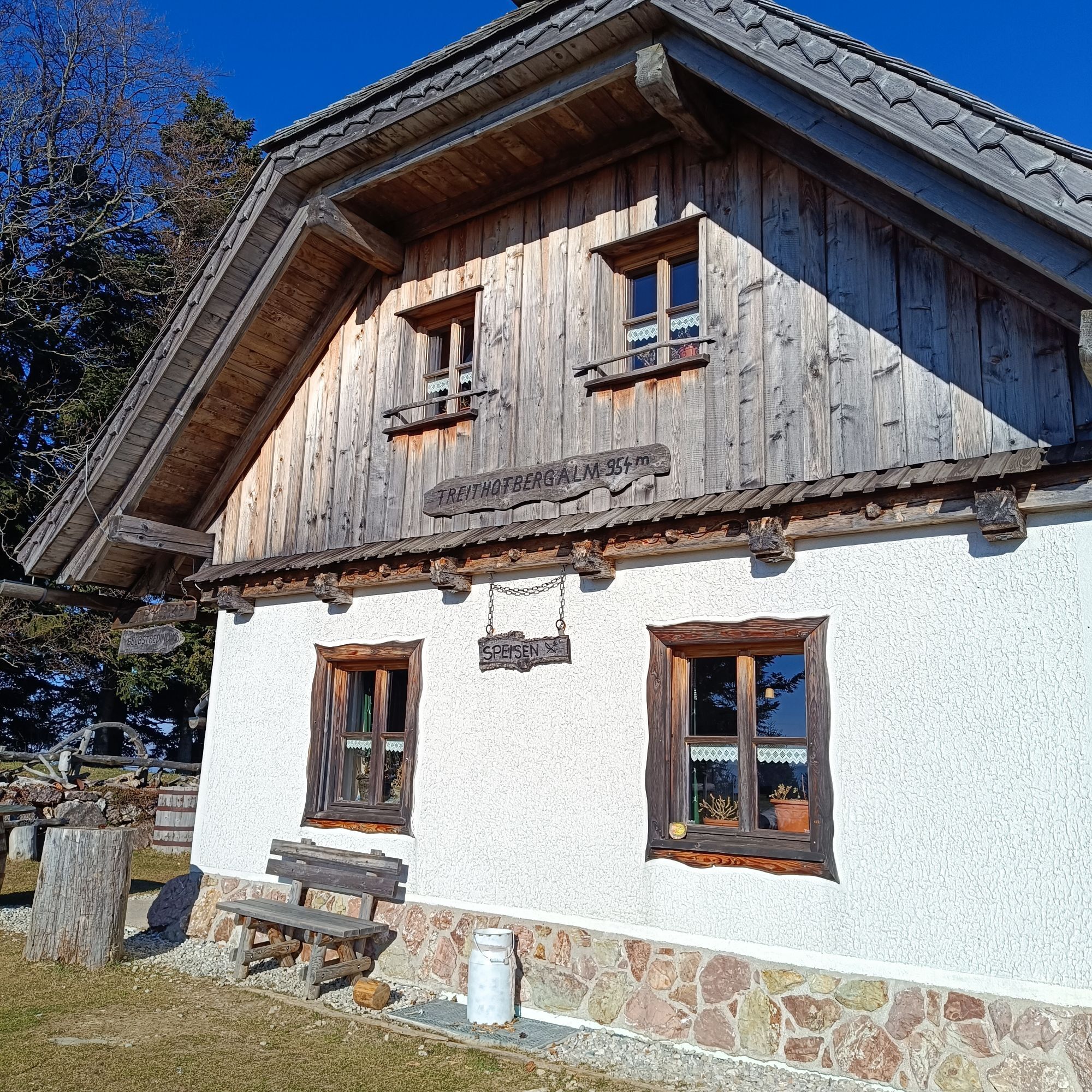
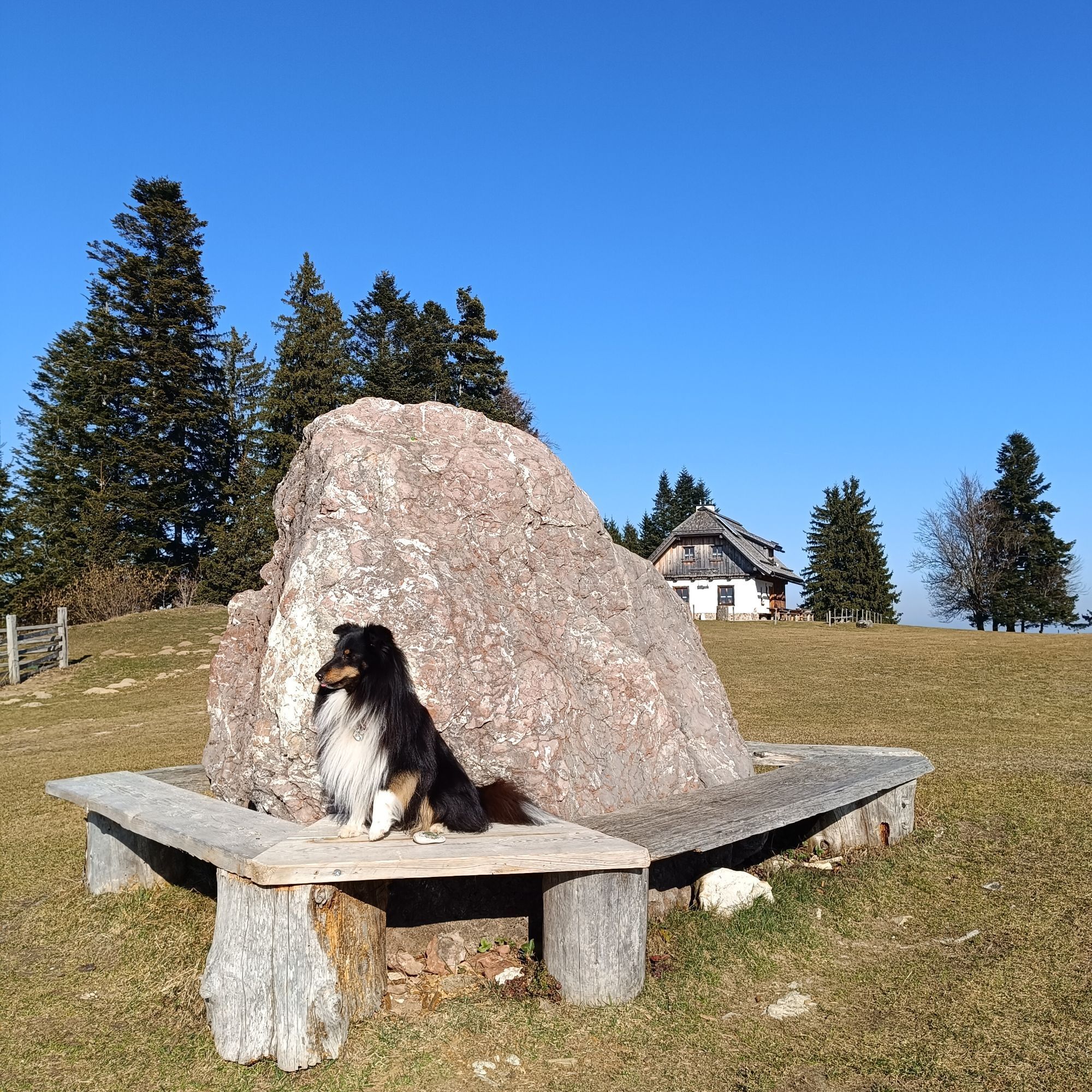
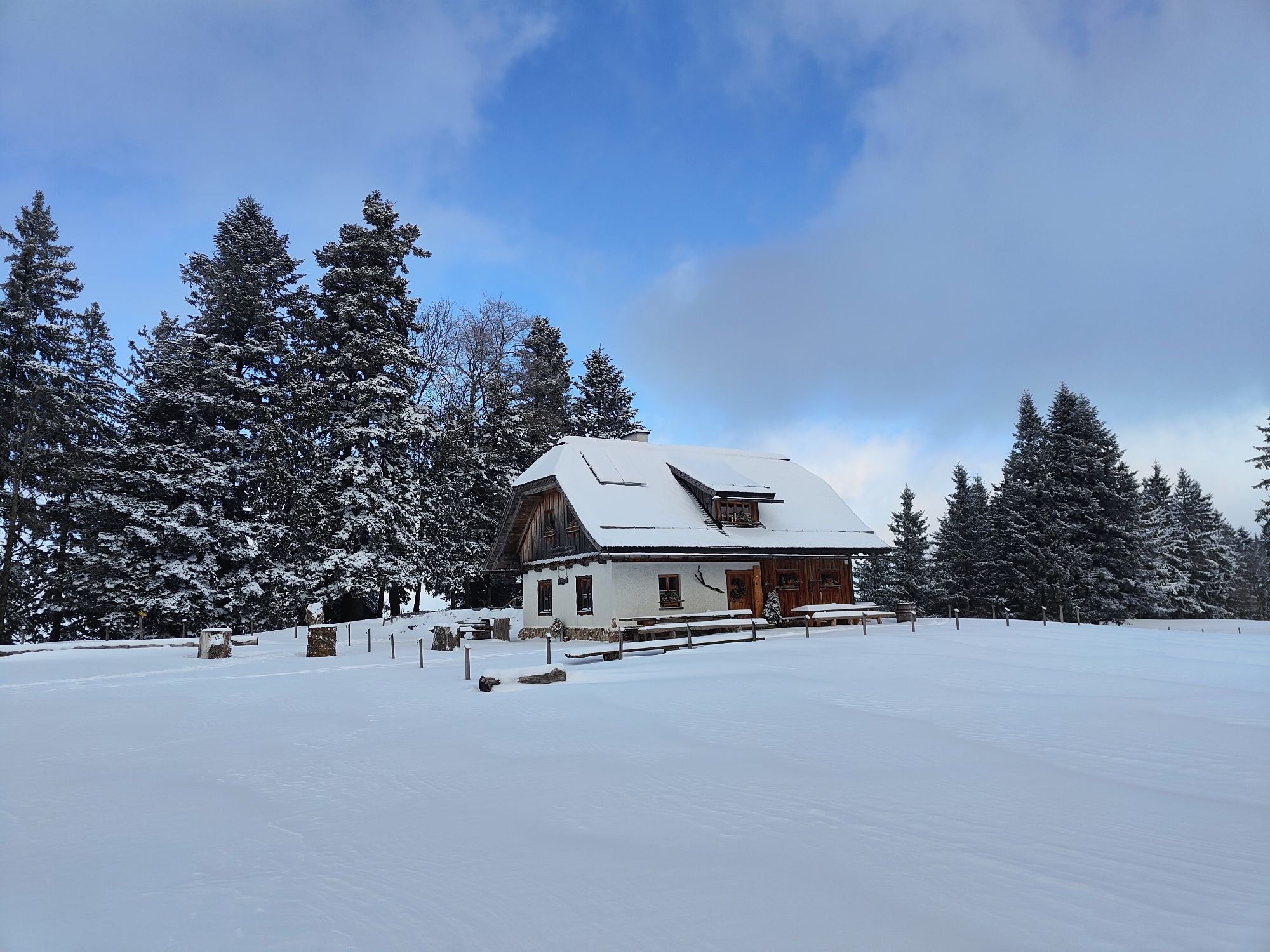
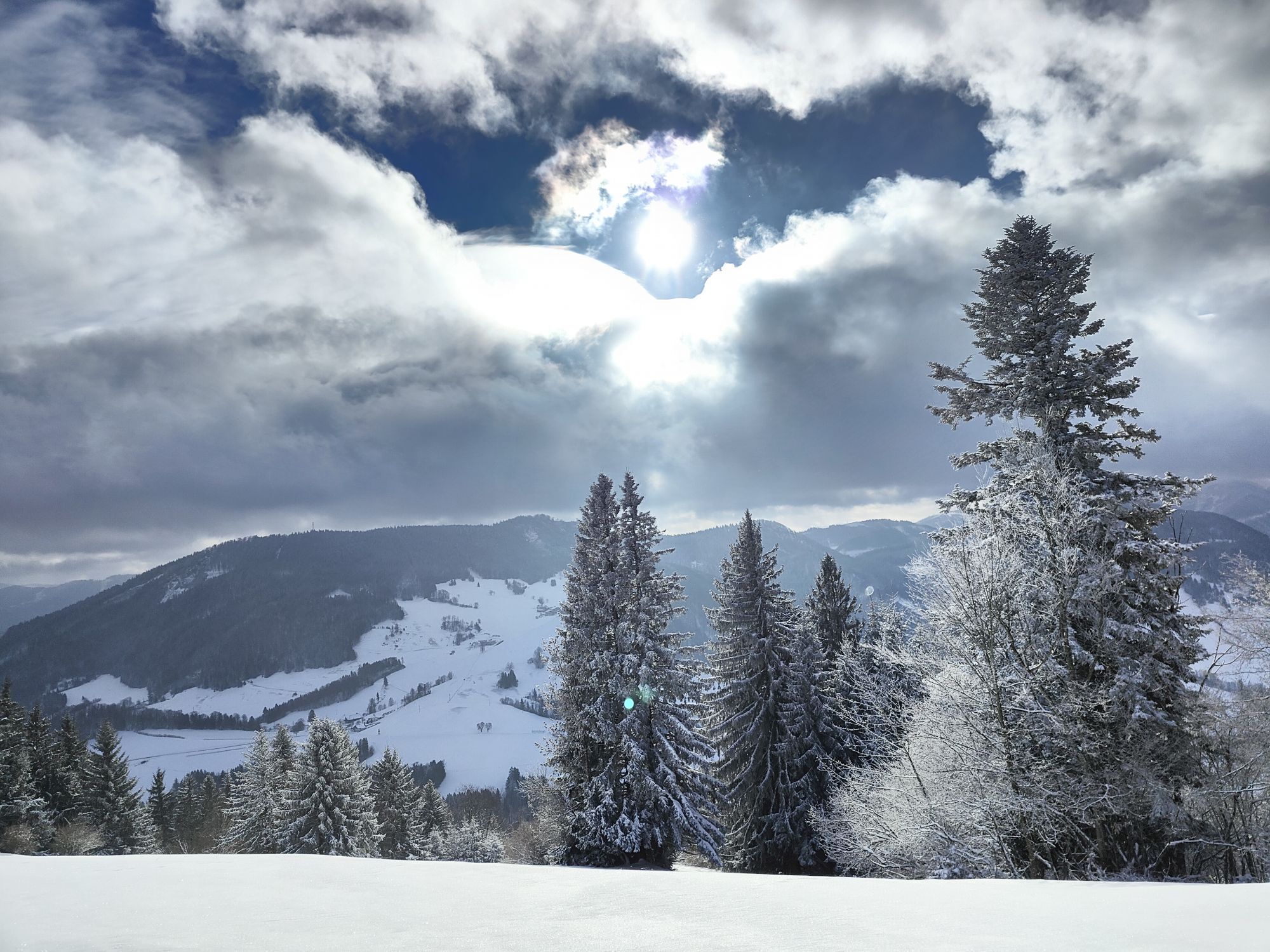
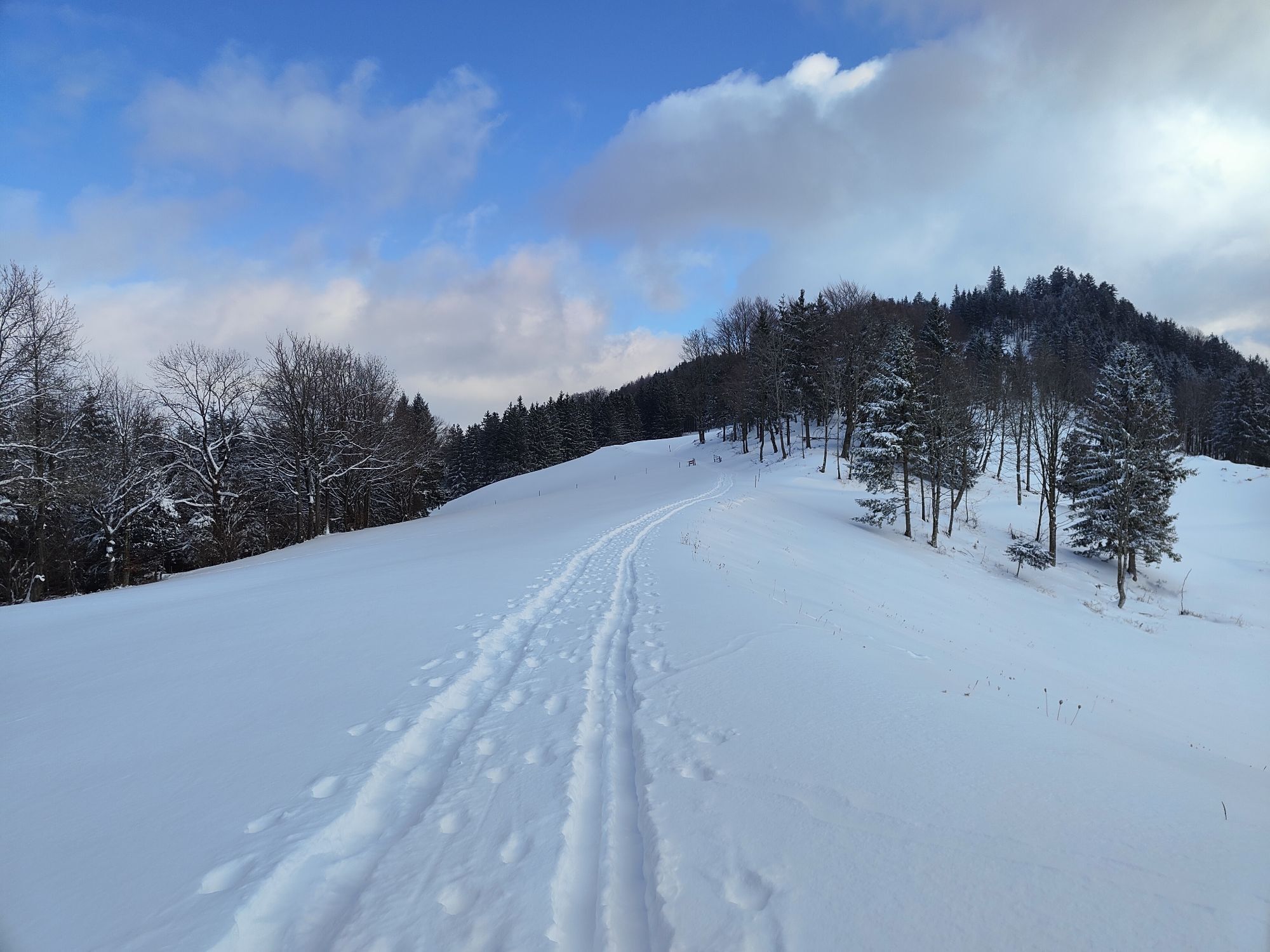
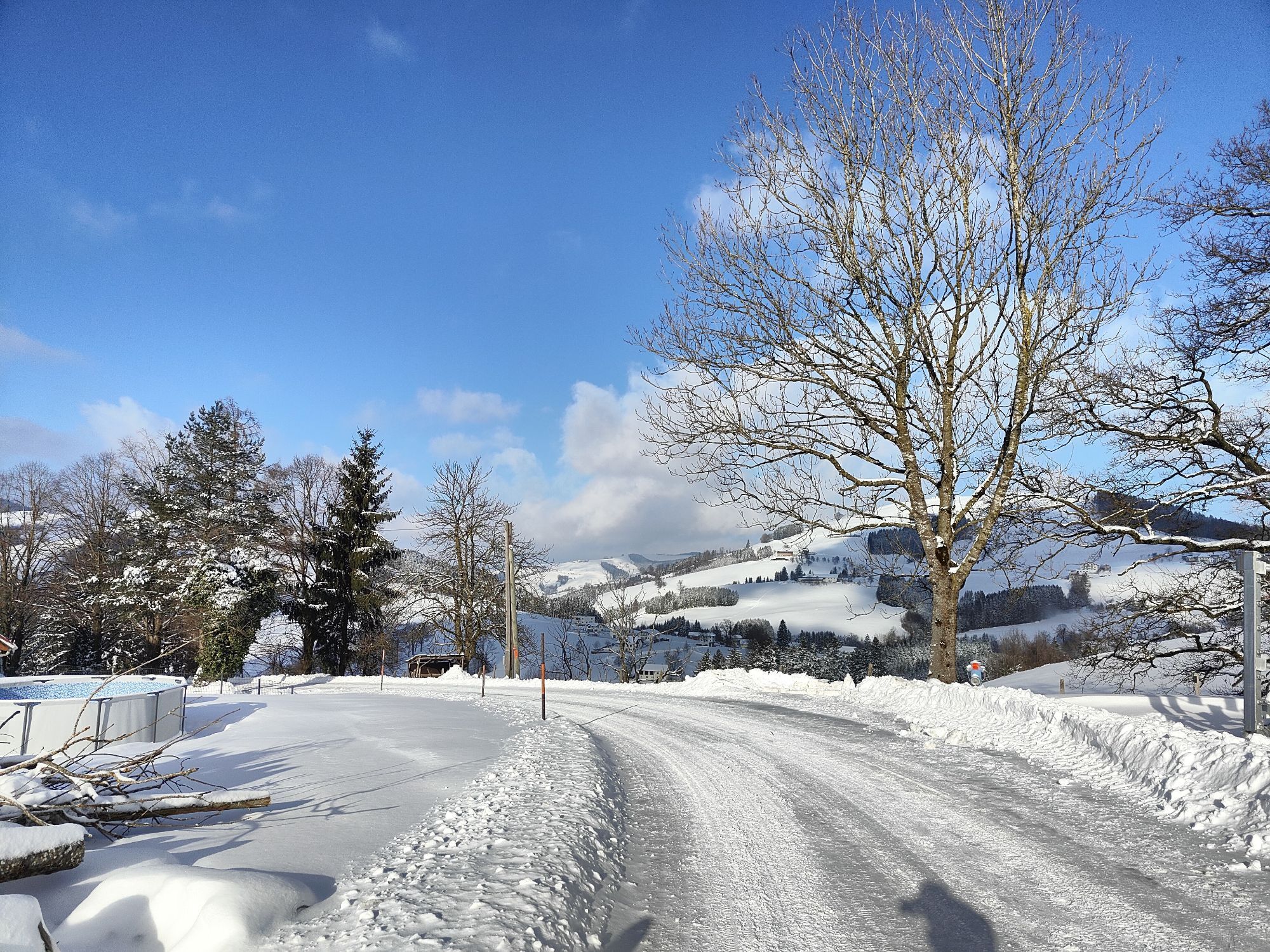
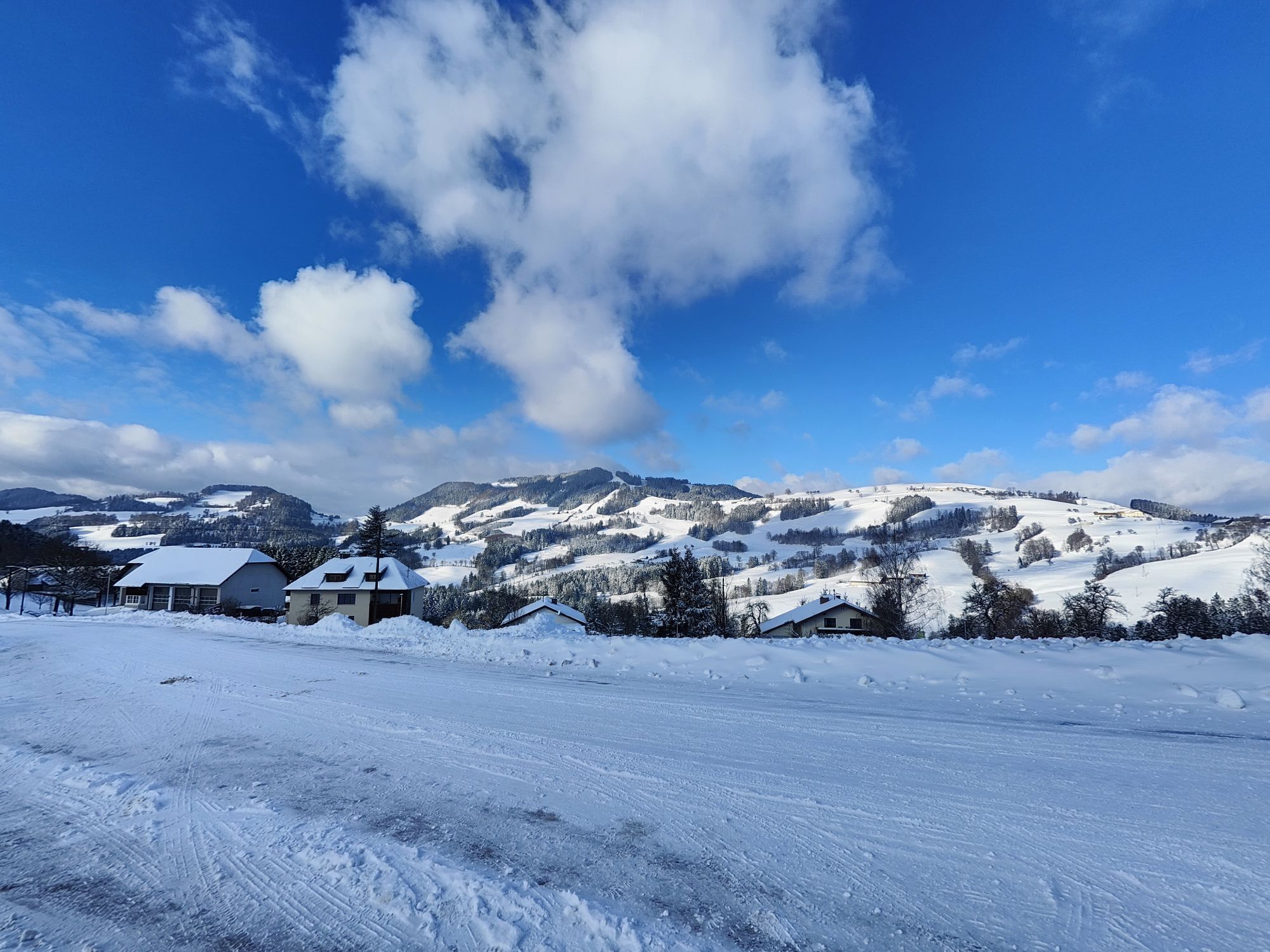
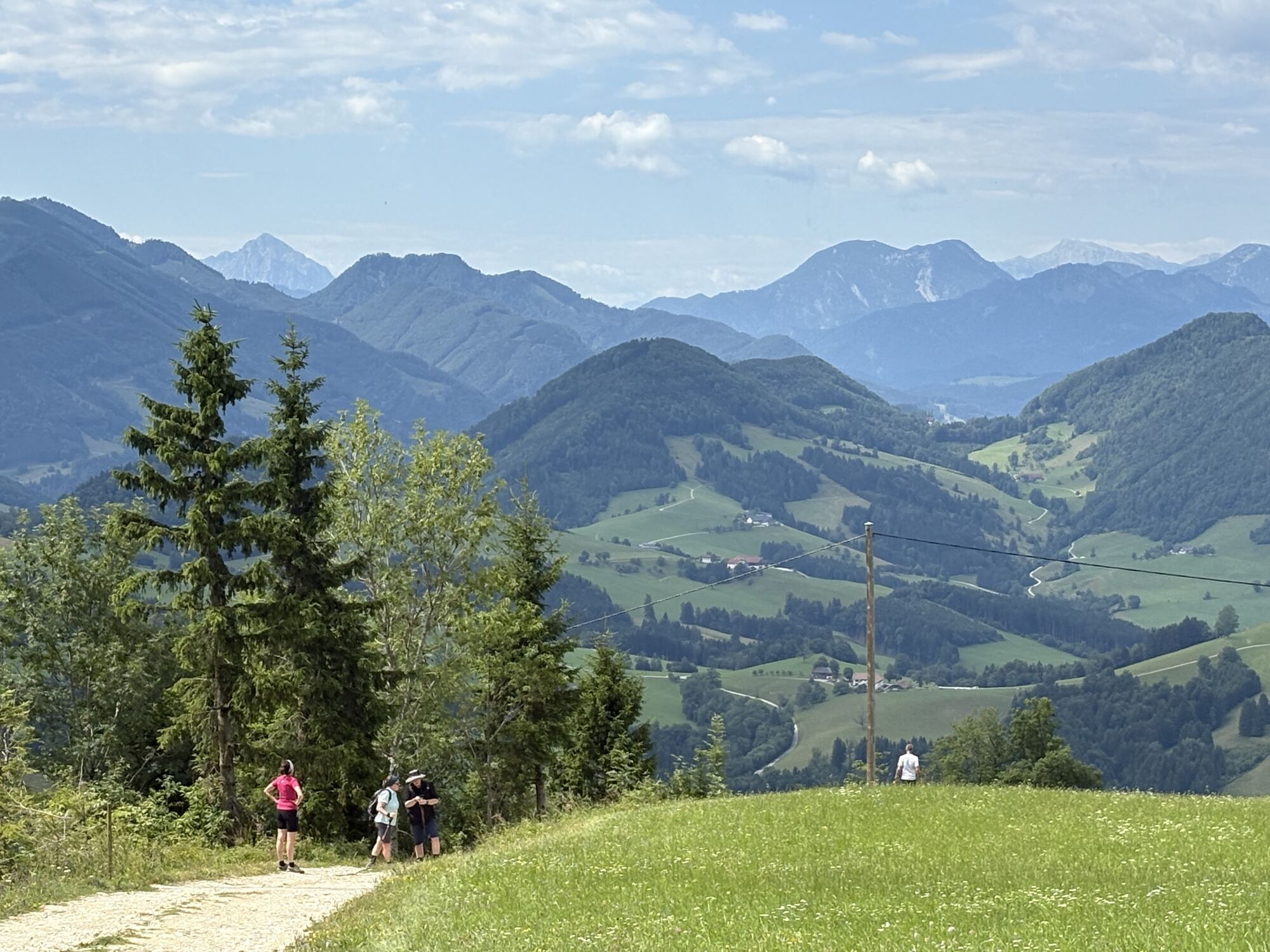
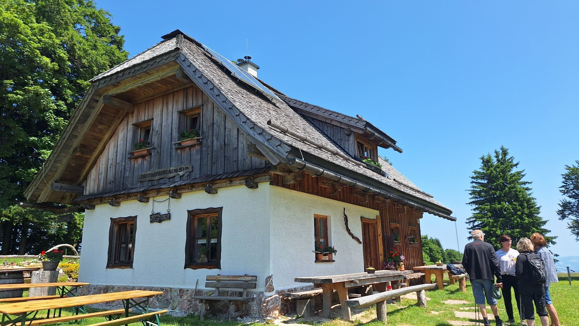
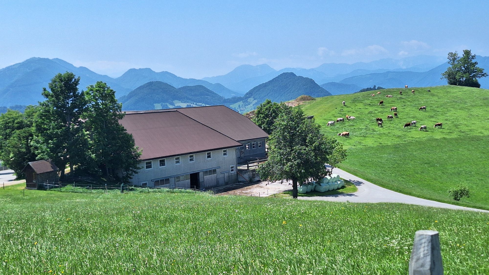
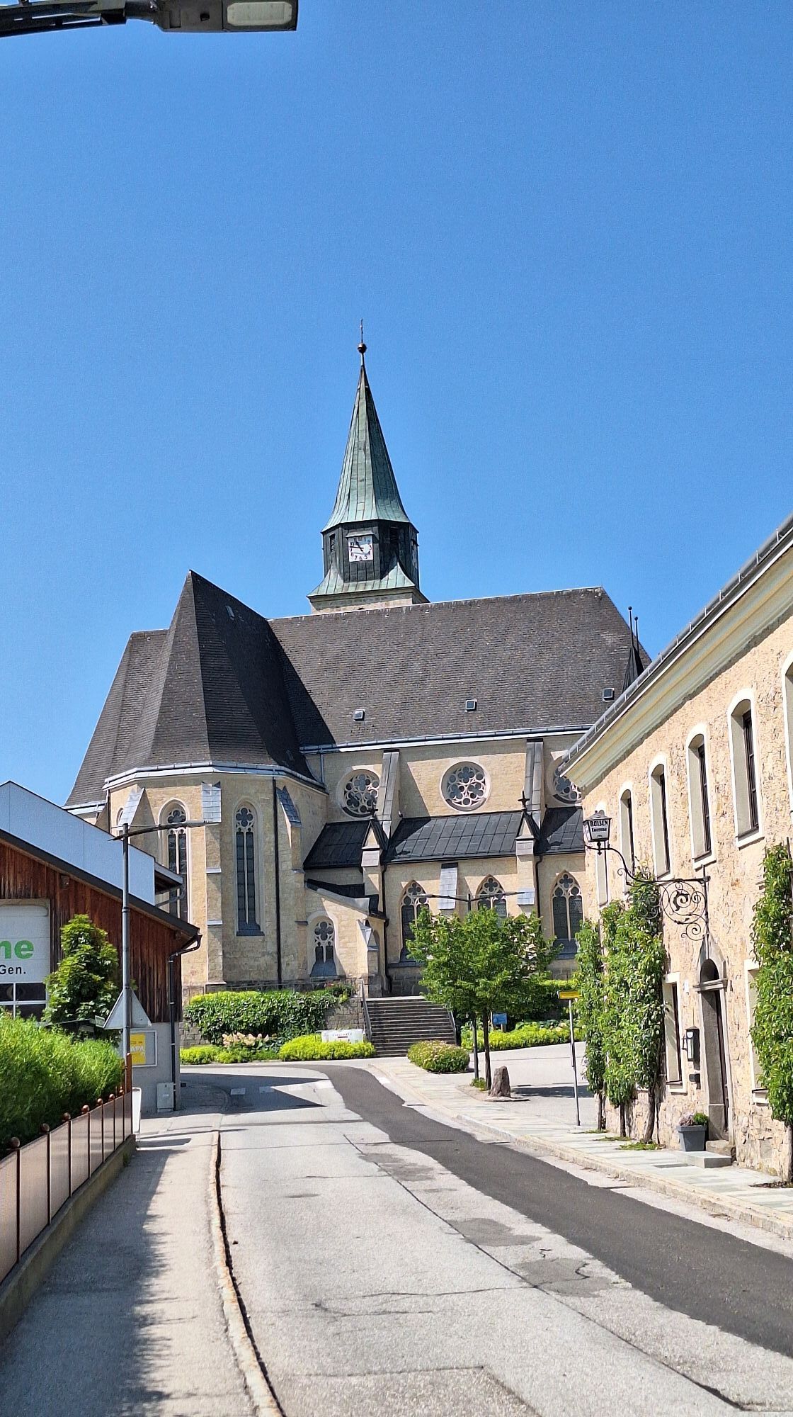
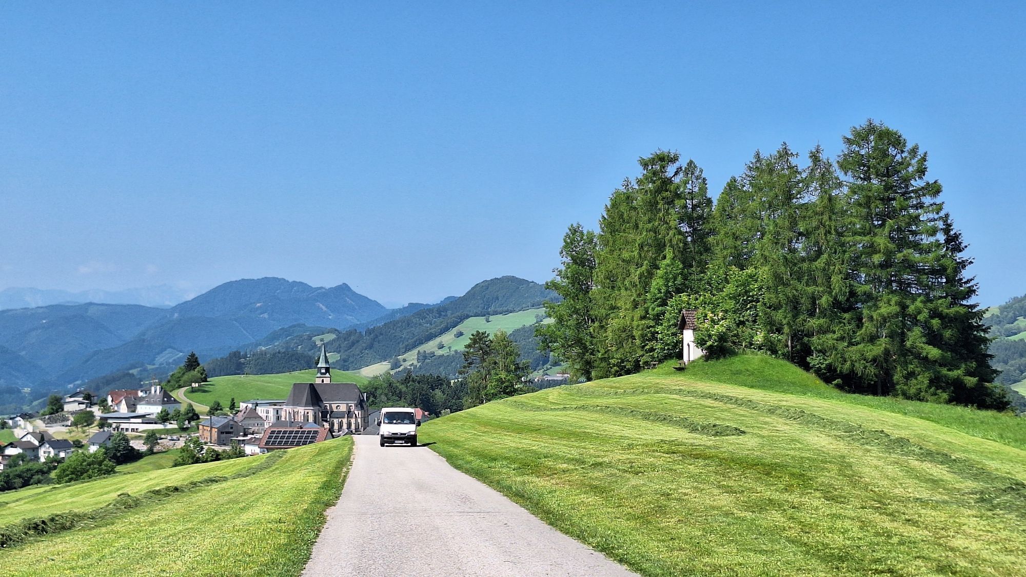
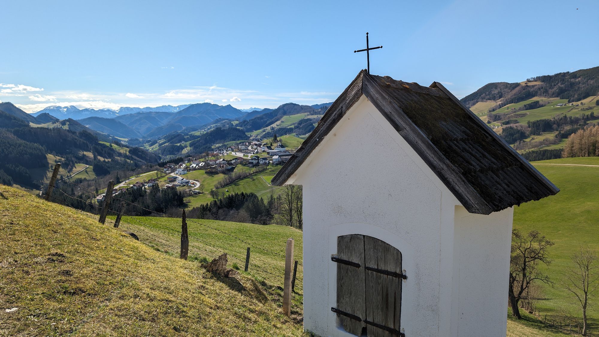

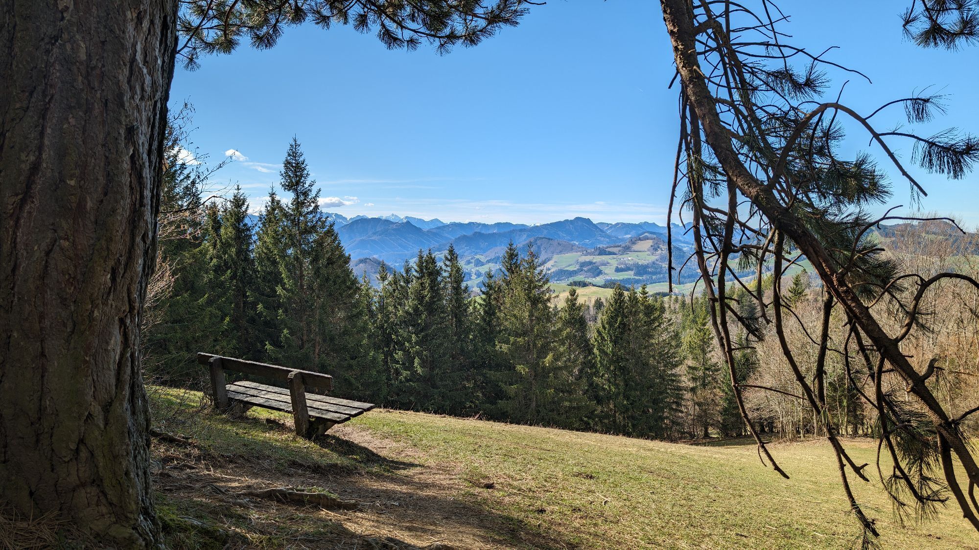
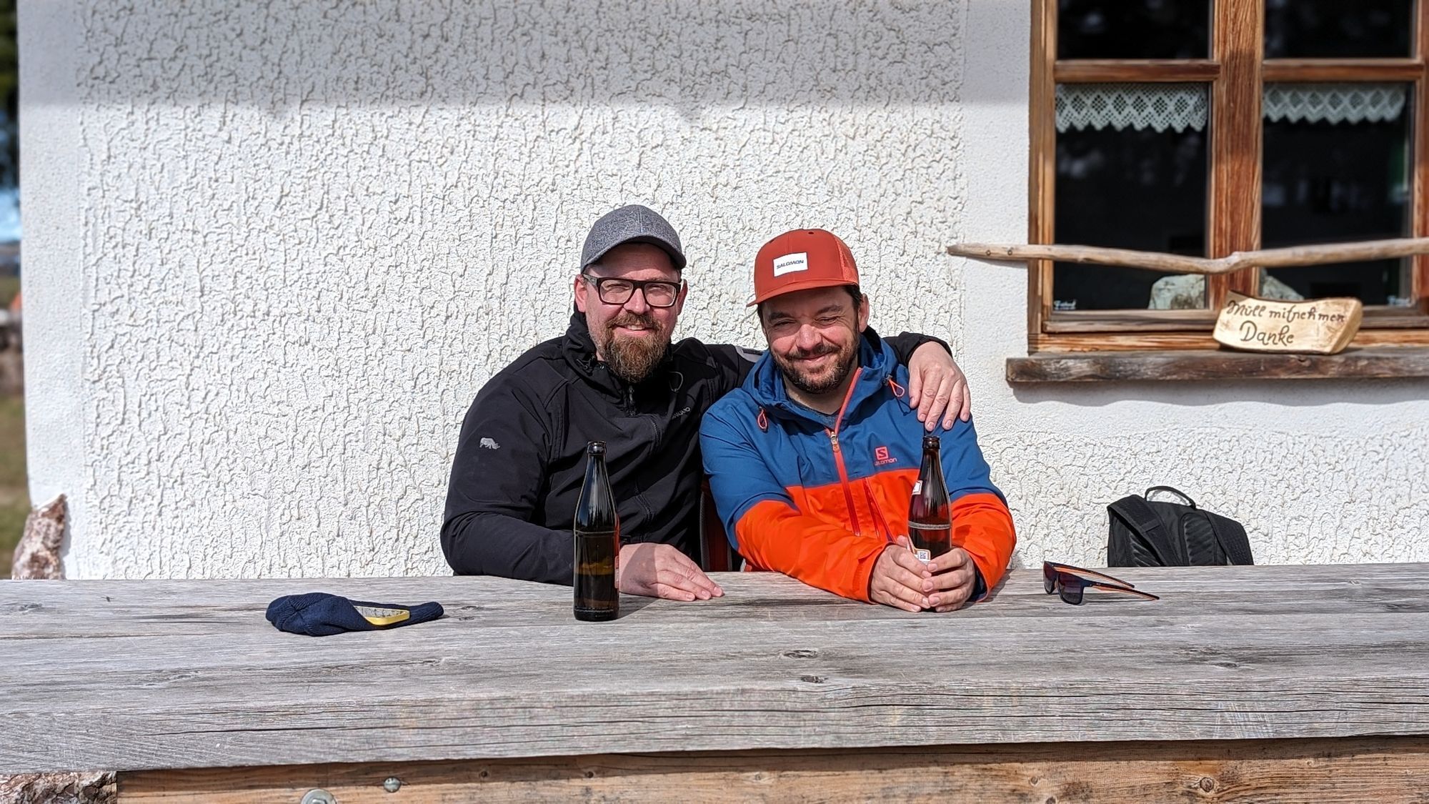
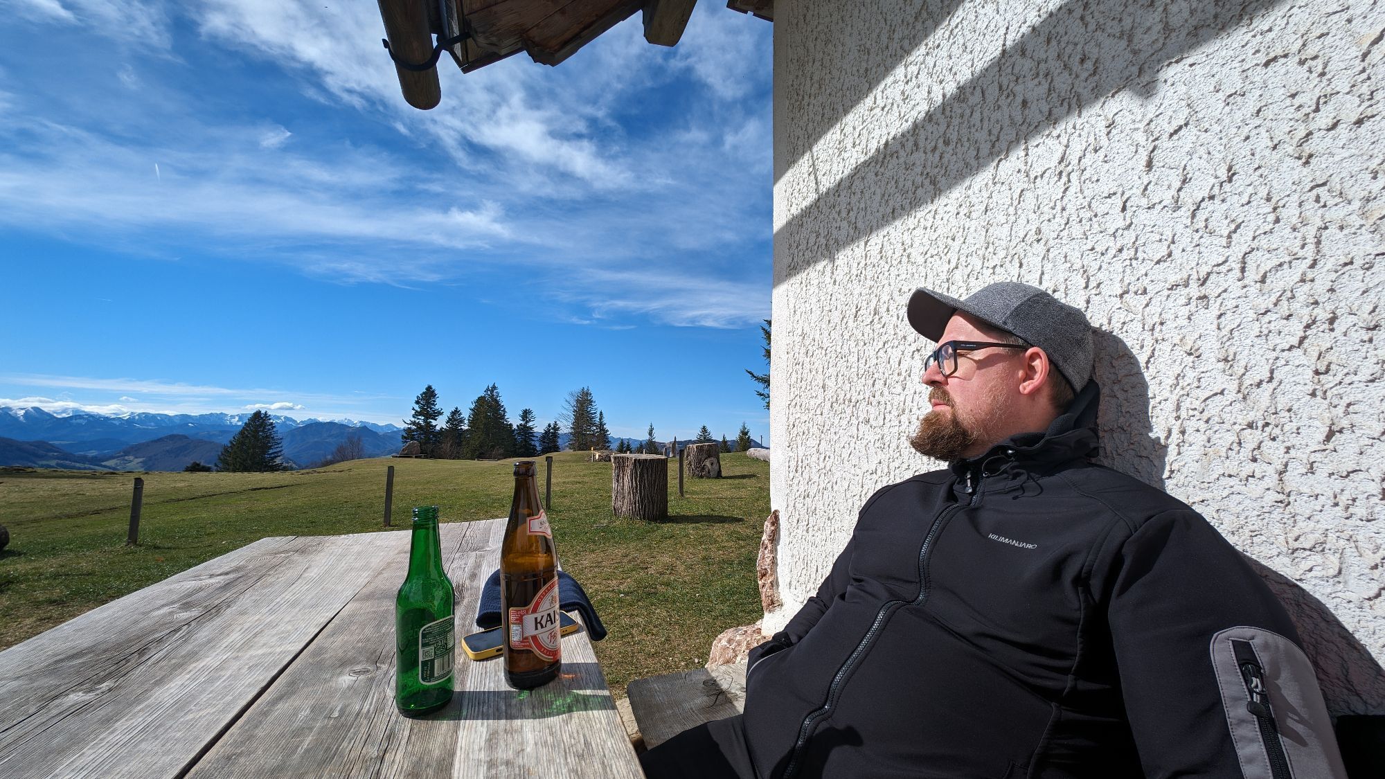
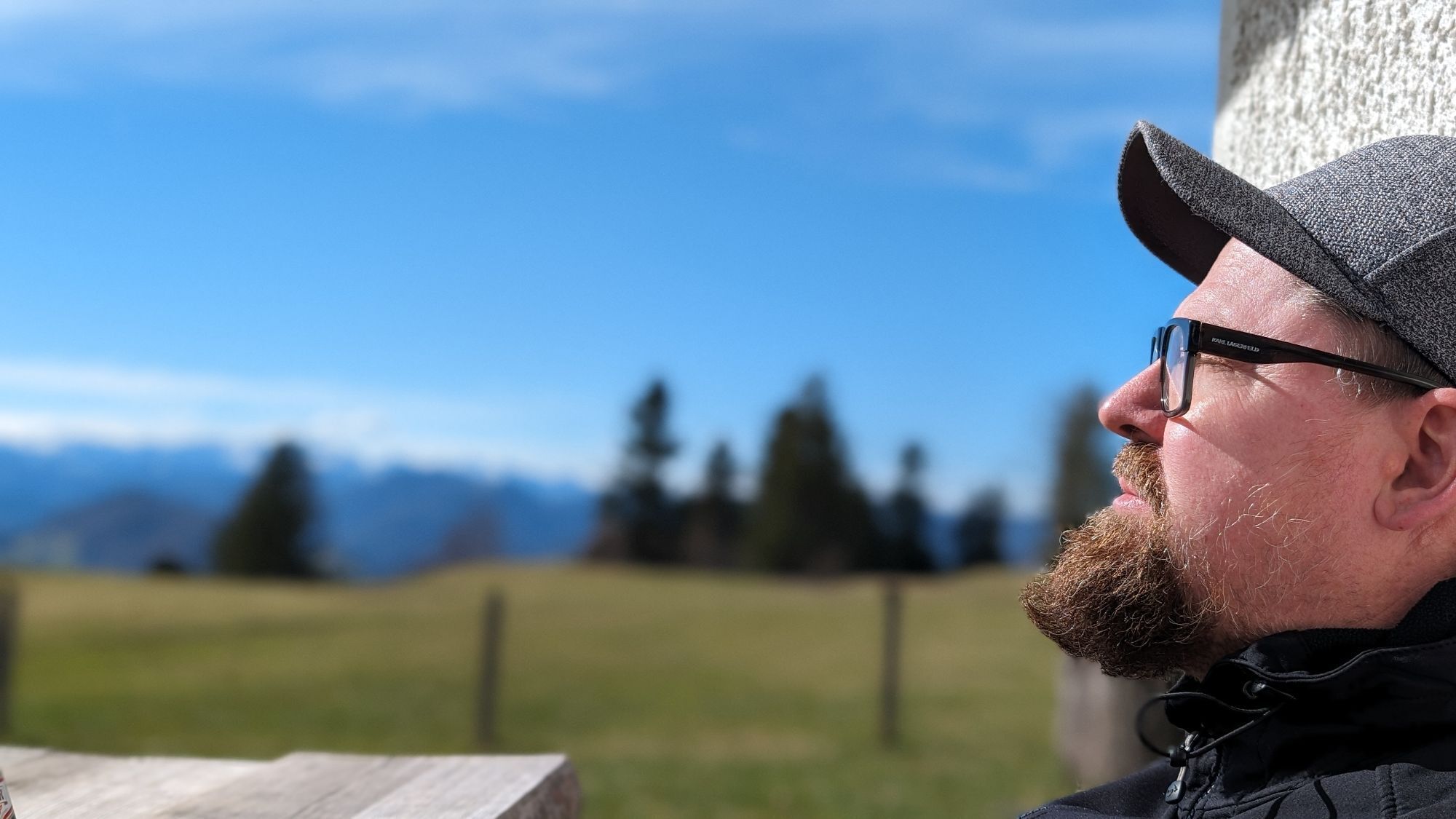
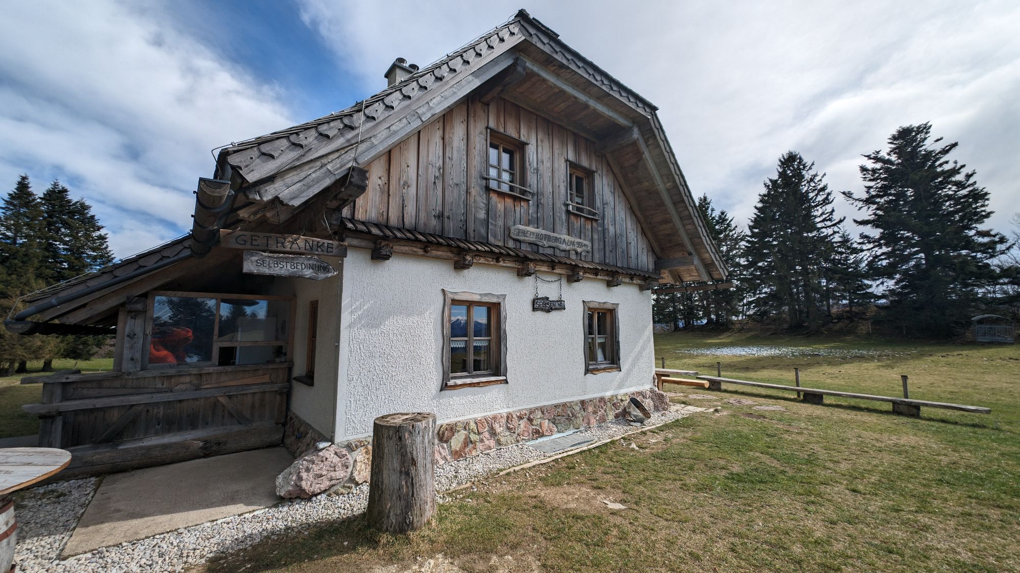
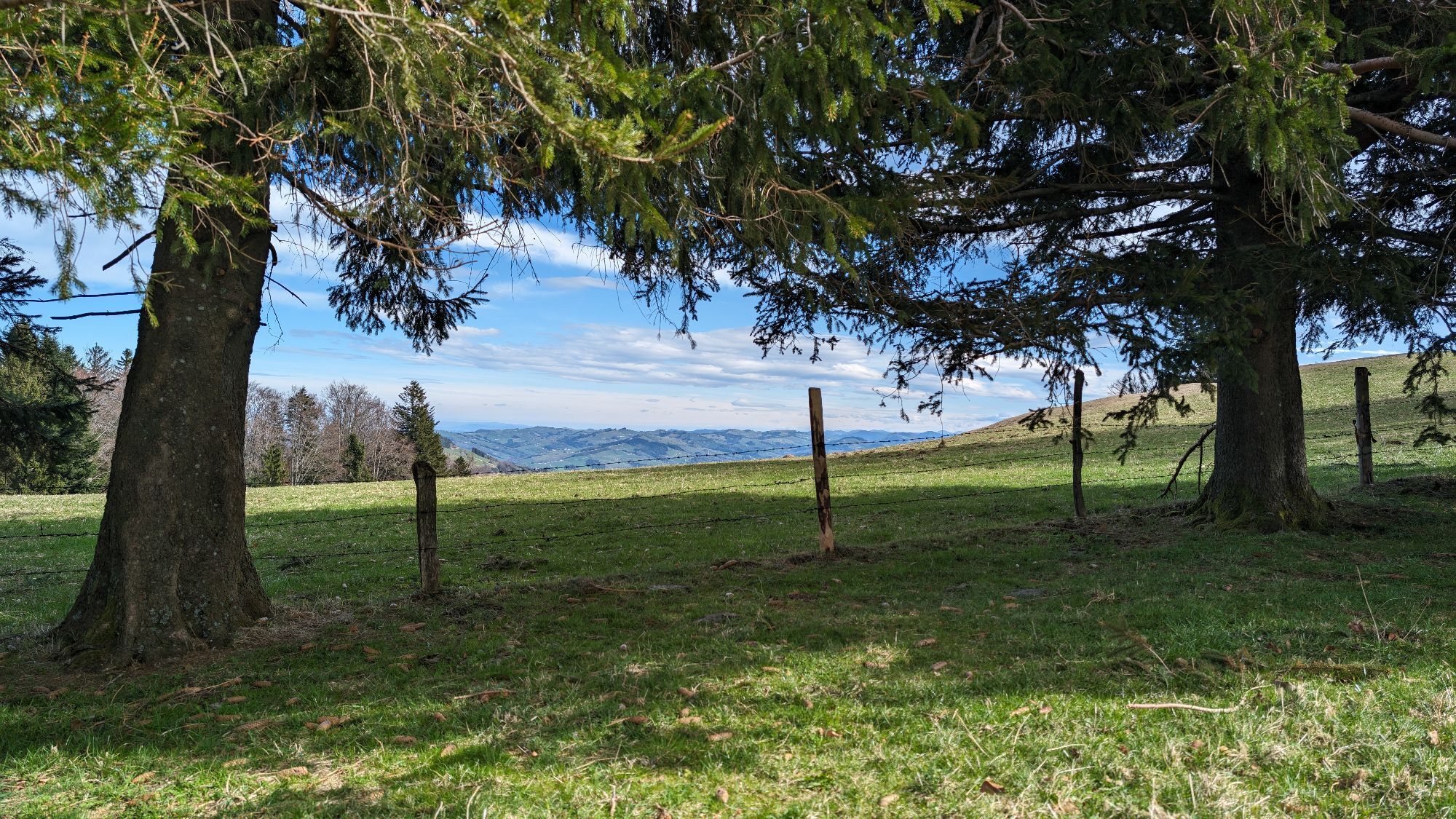
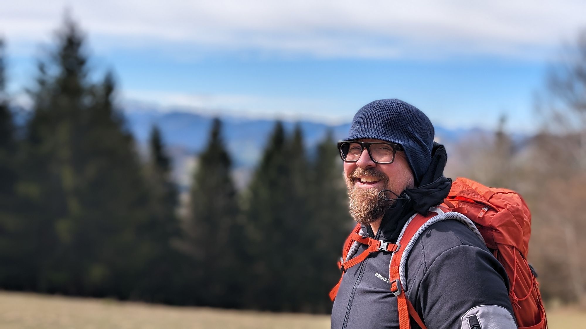
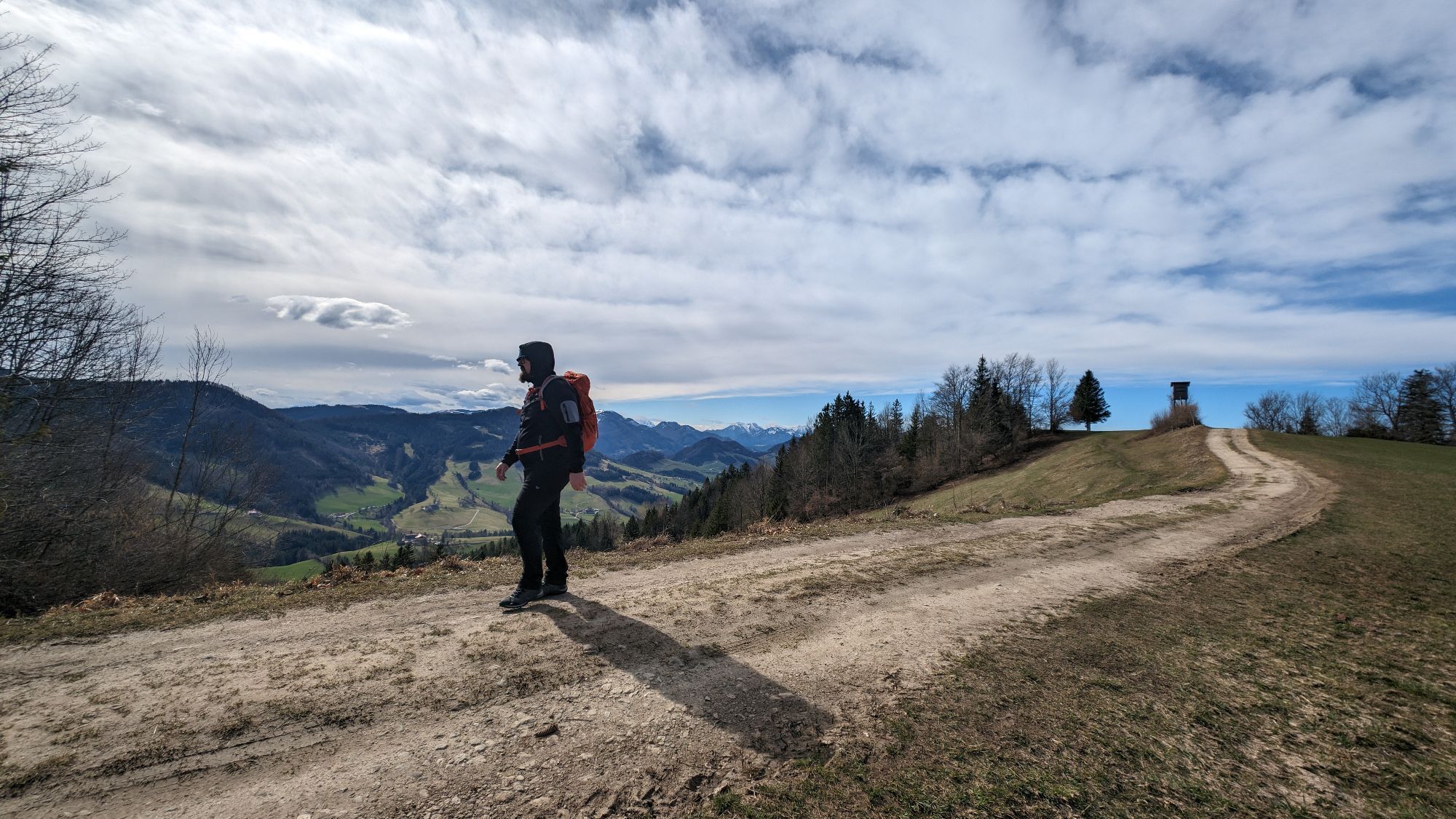
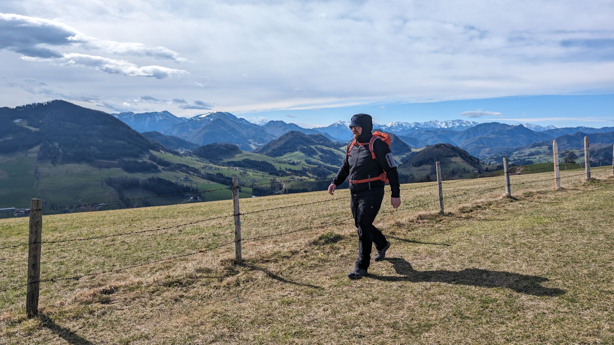
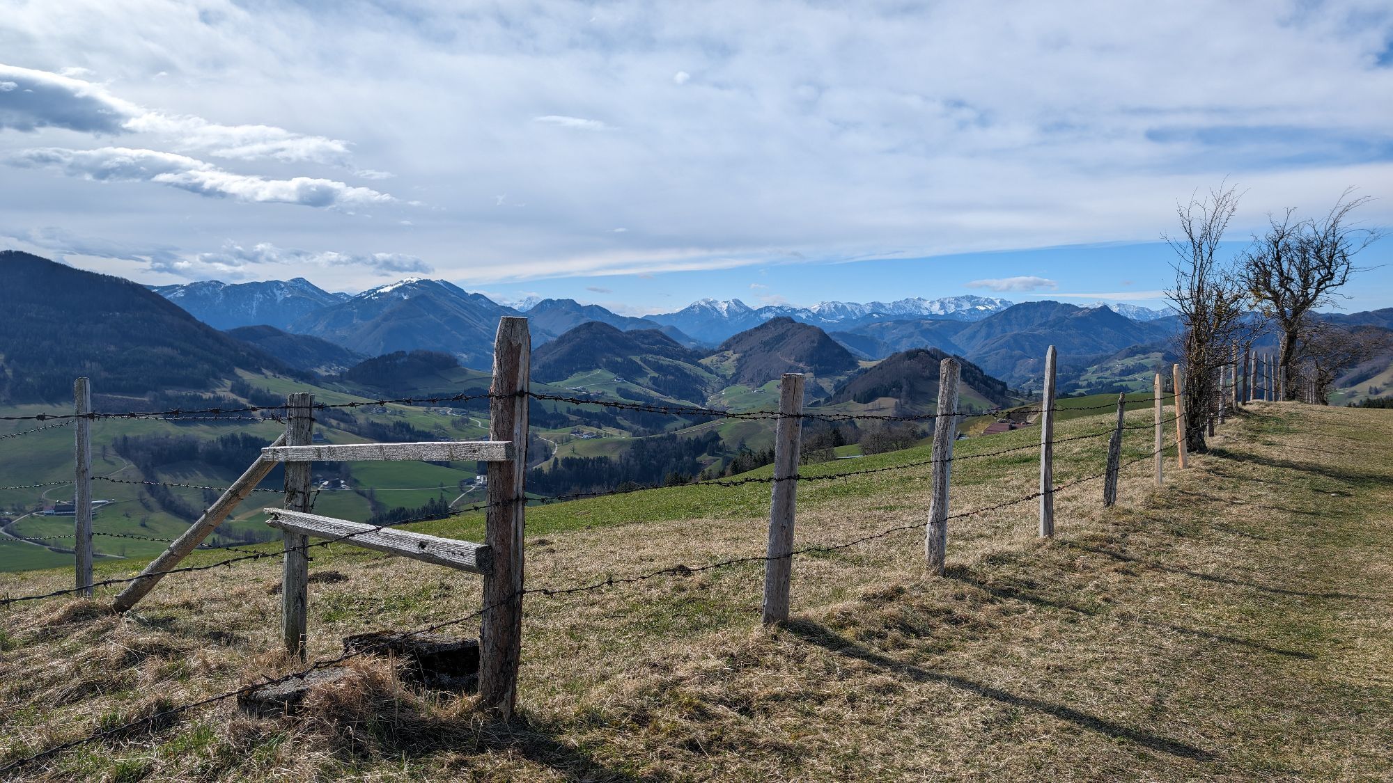
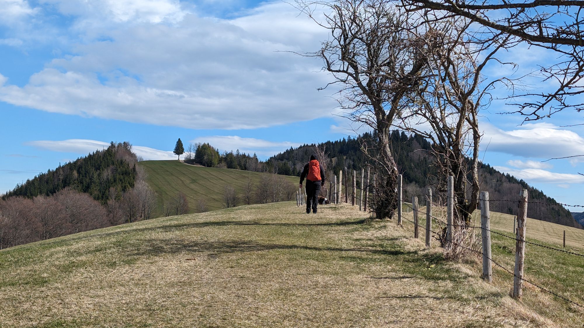
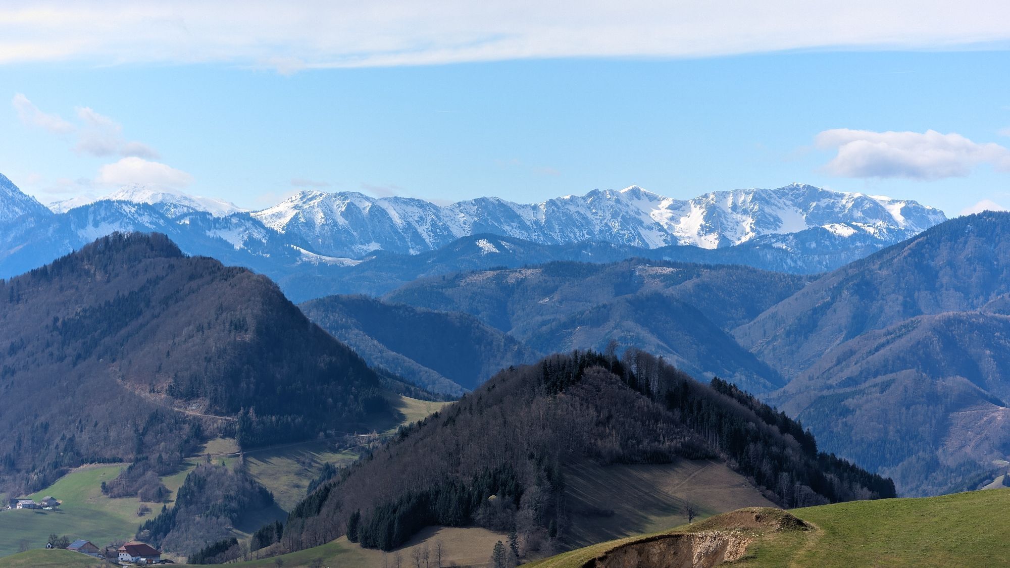
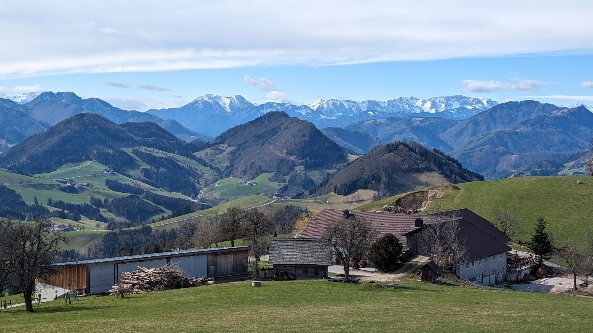
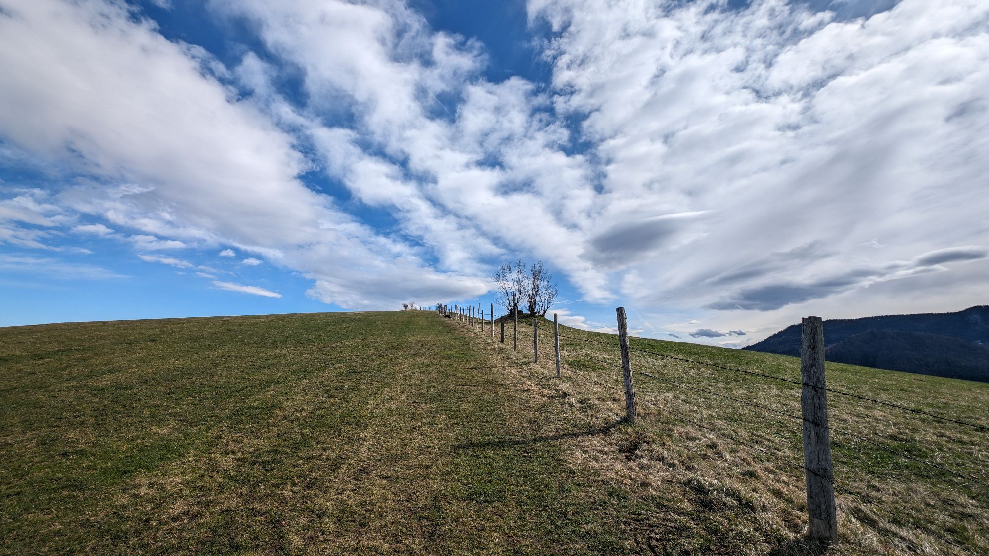
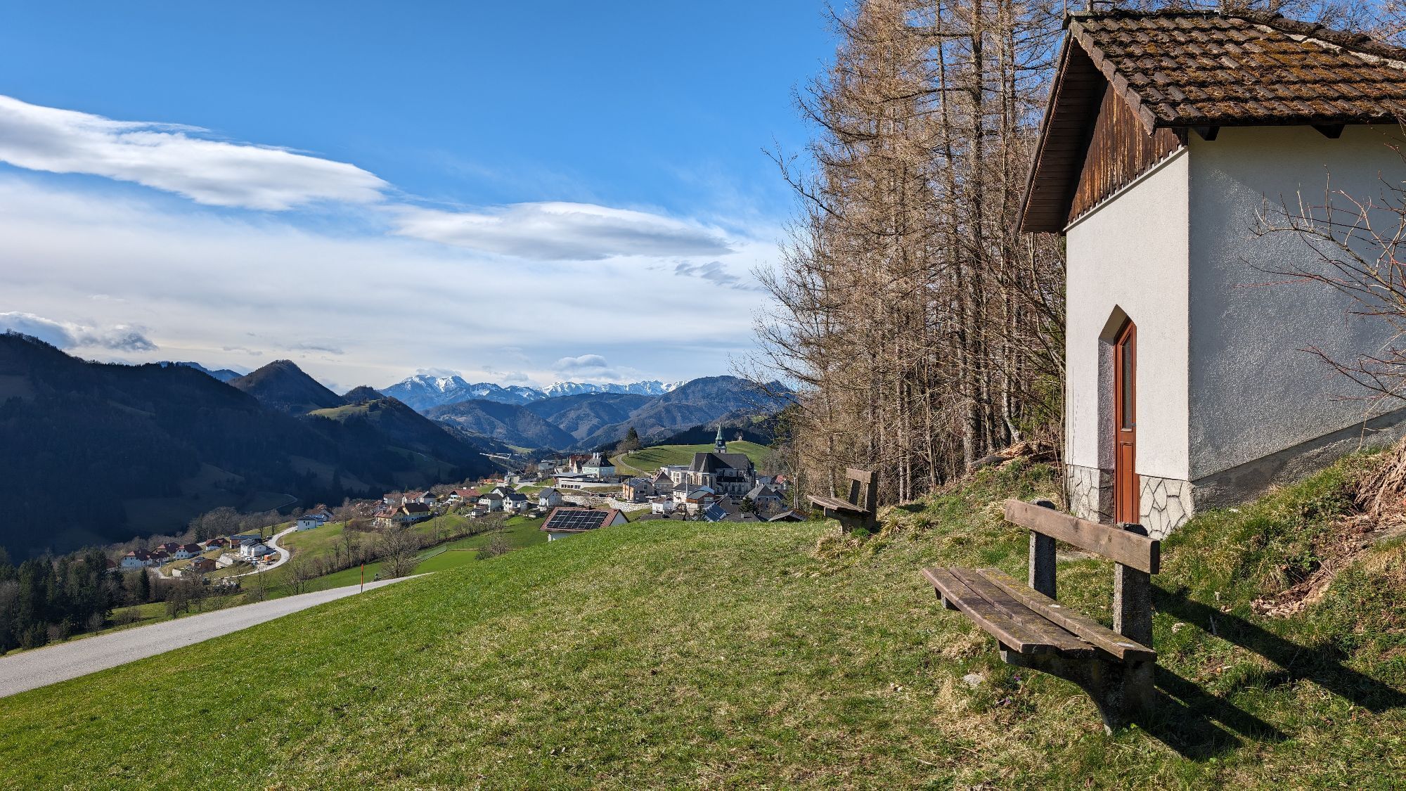
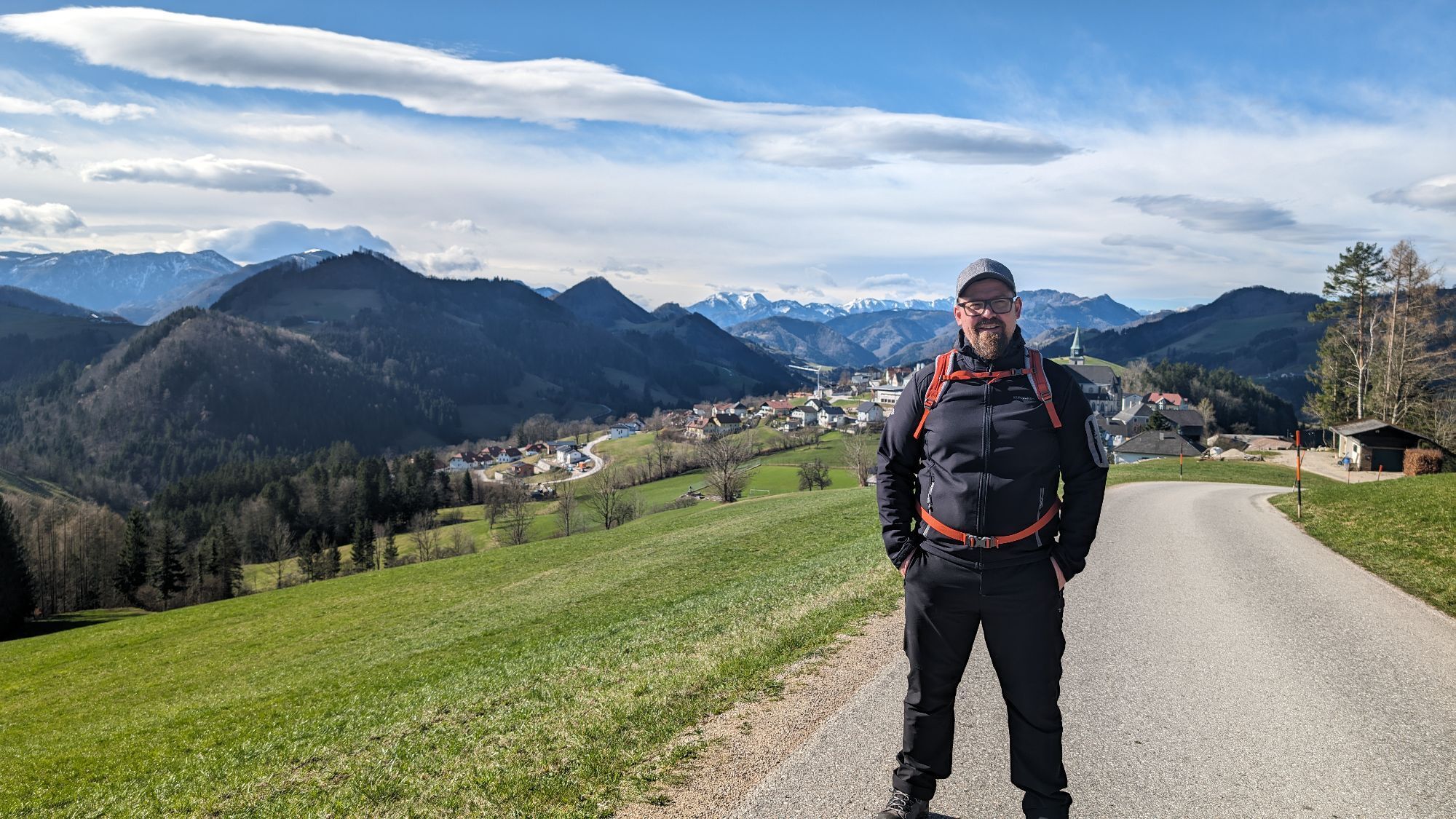
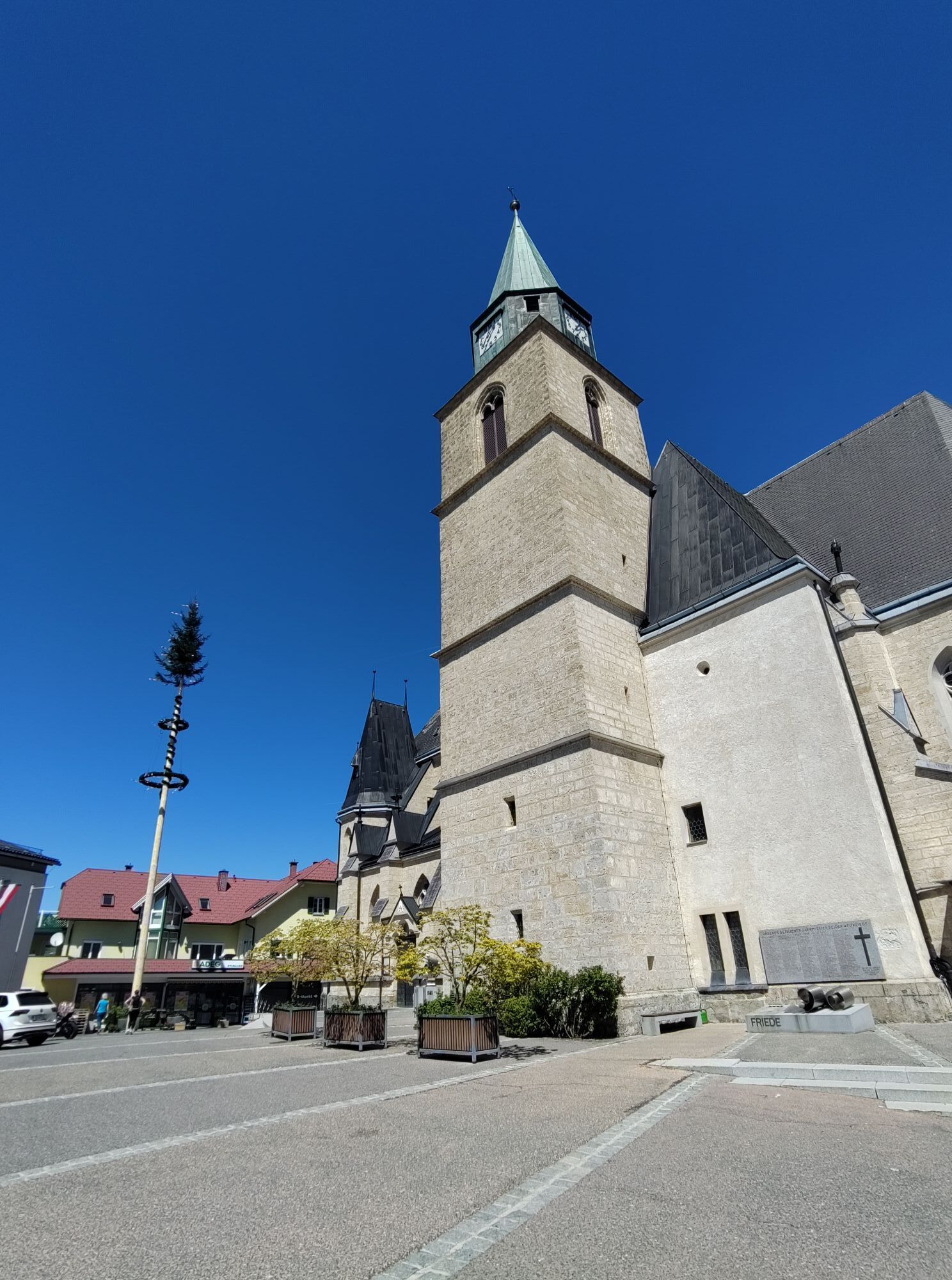
Starting from the church square in Maria Neustift, various paths lead to the Freithofberg - extensive circular hike, panorama trail or summit path.
Hiking trail: E31, E31a, E31b

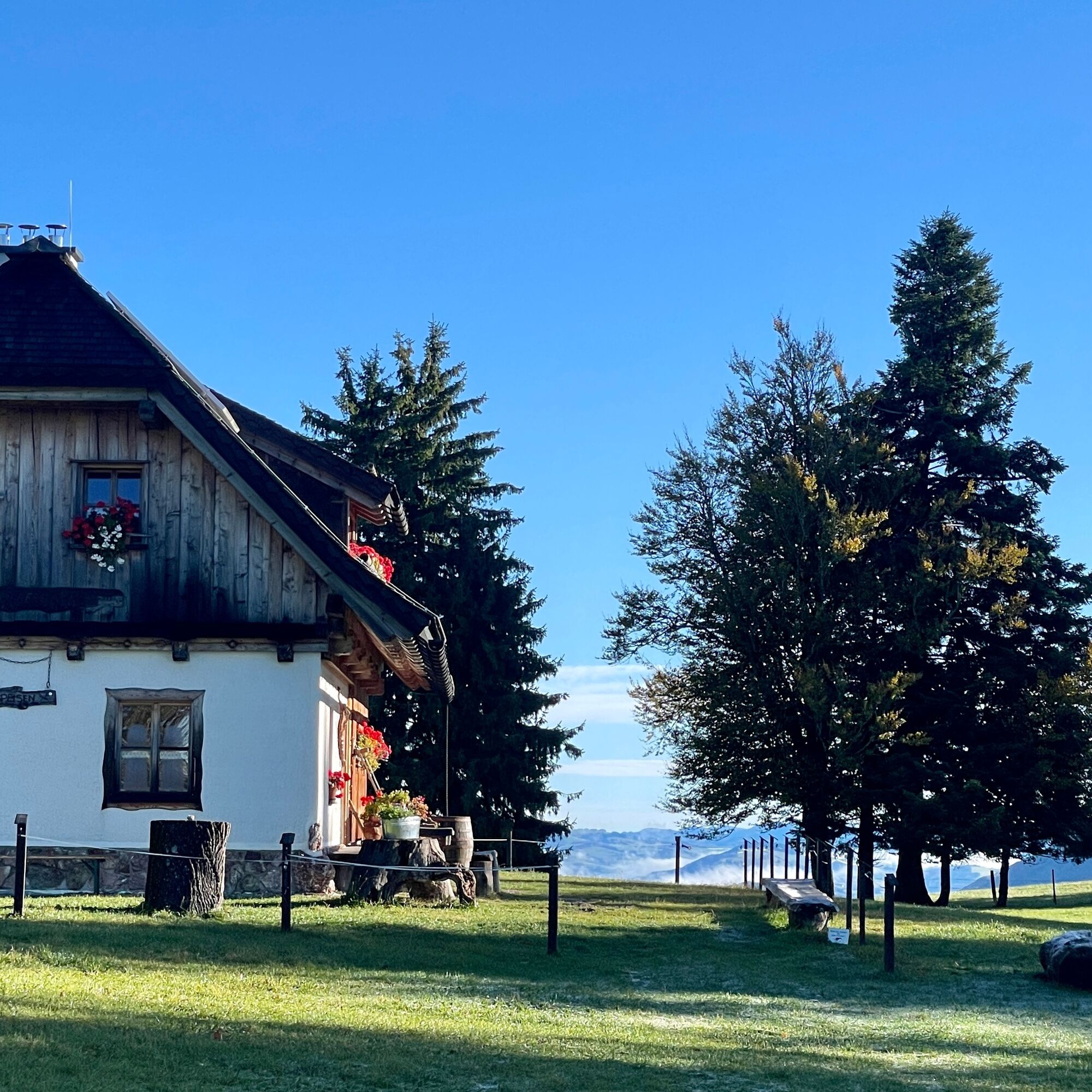


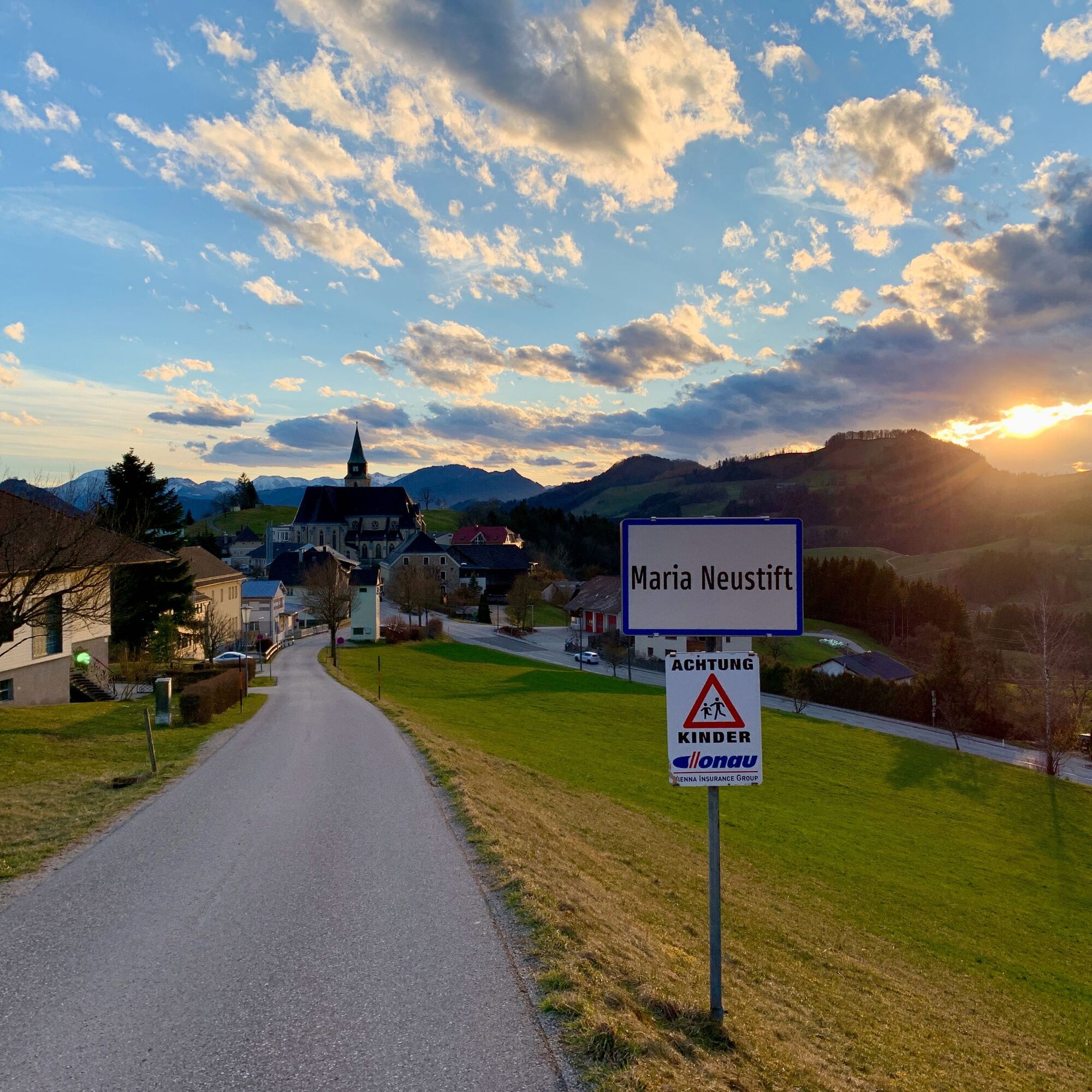
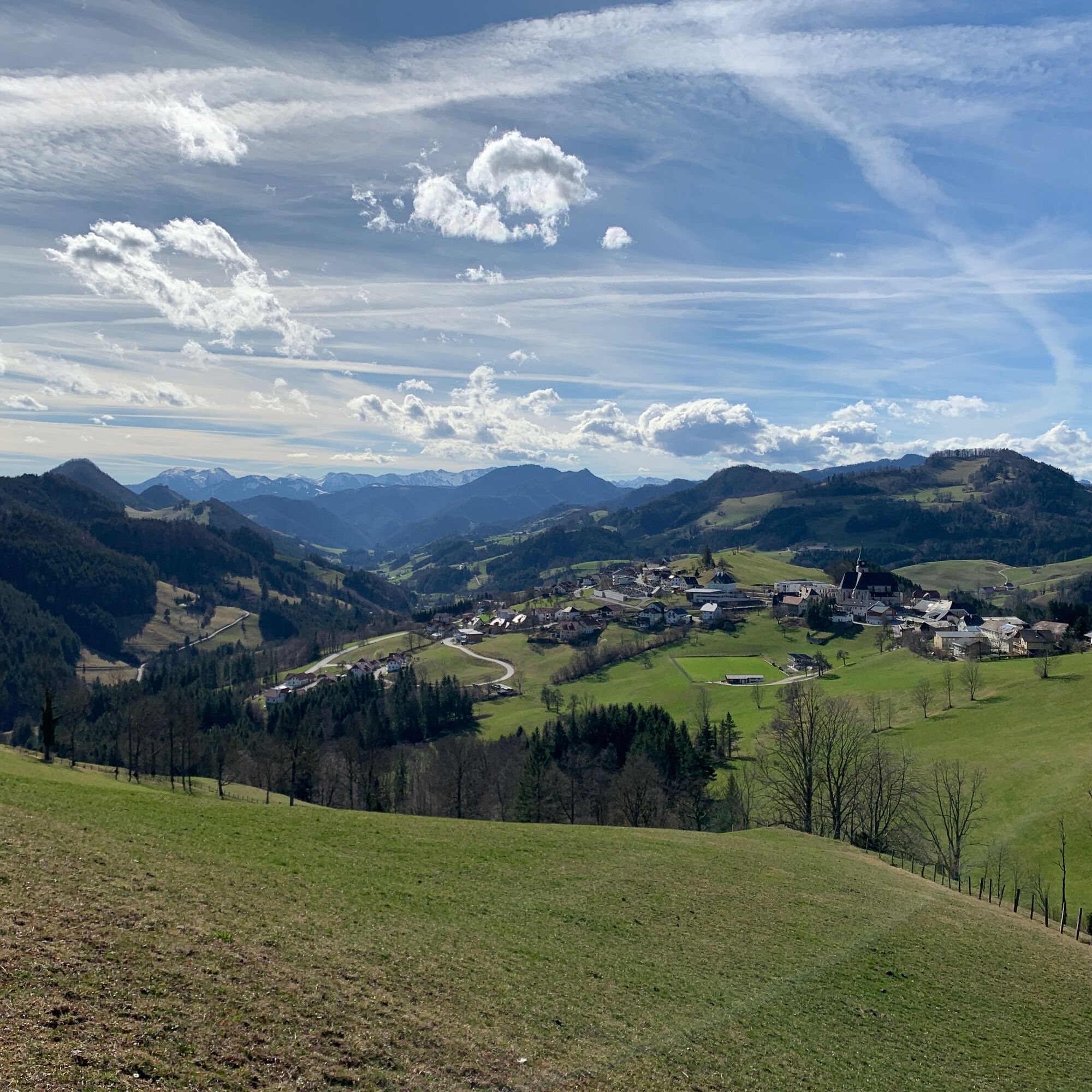
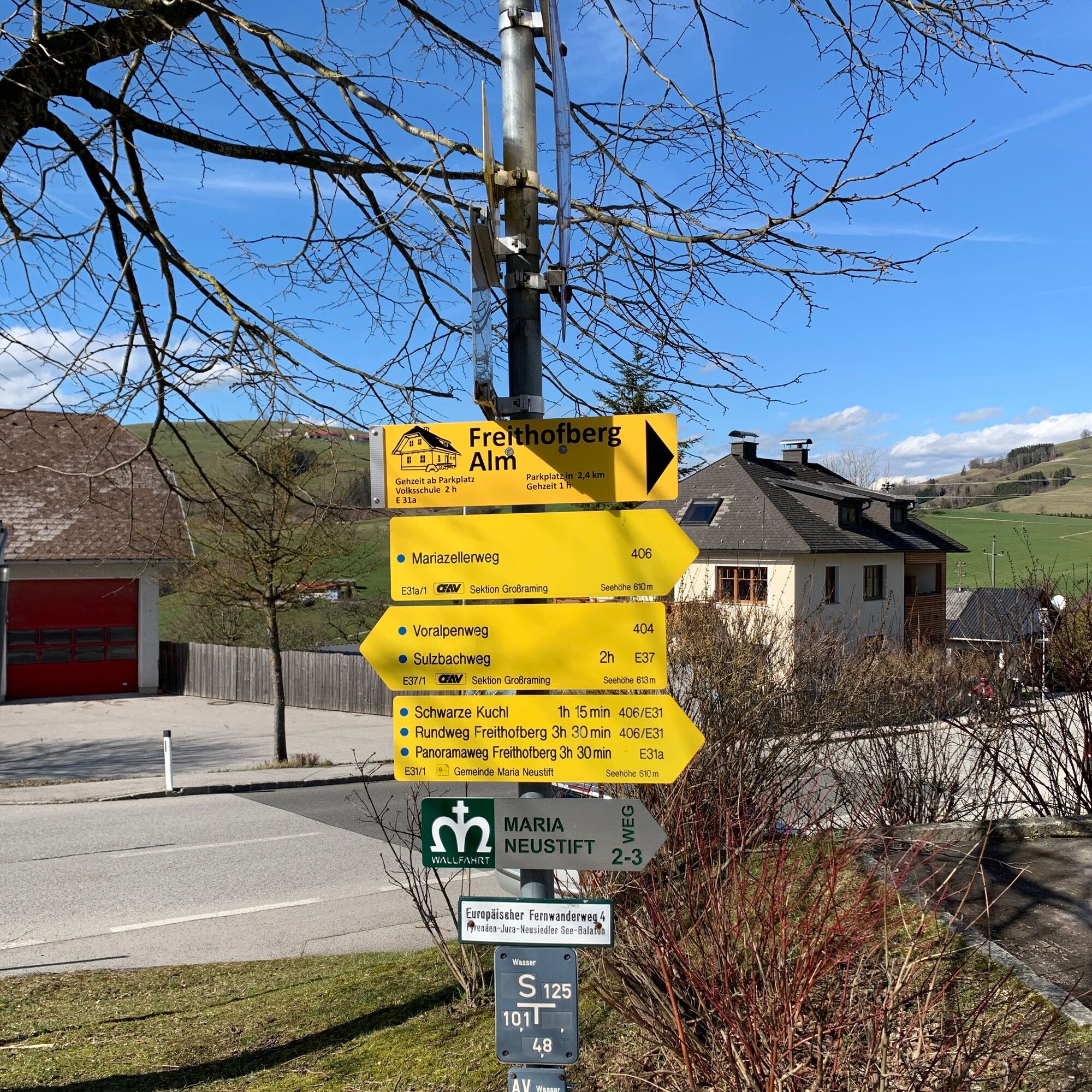
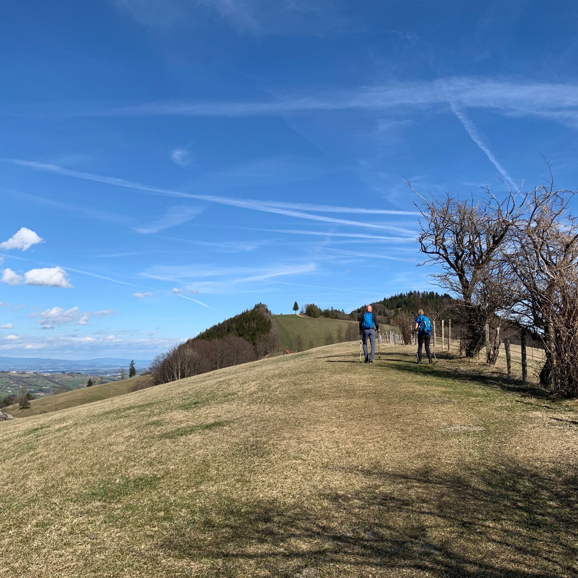
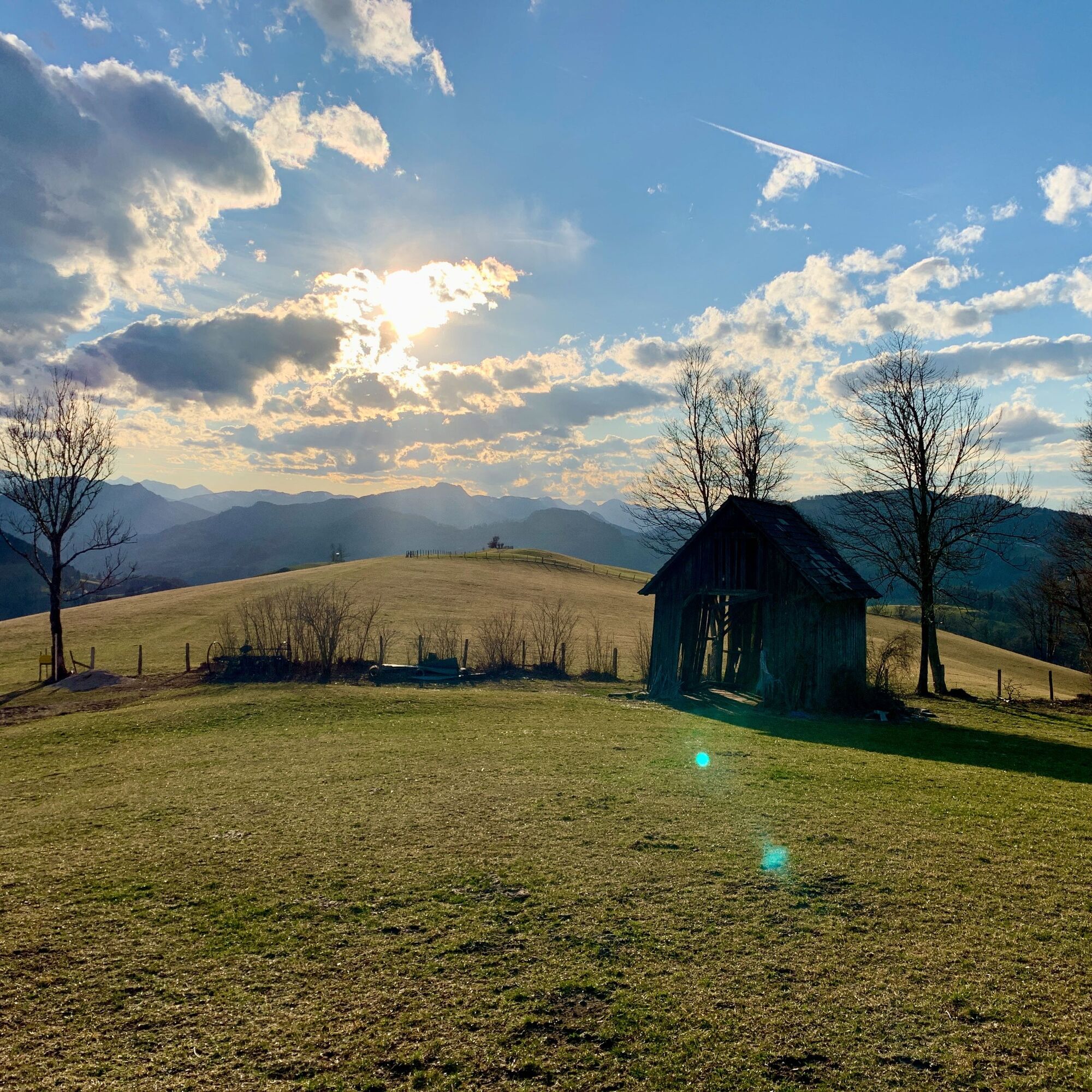
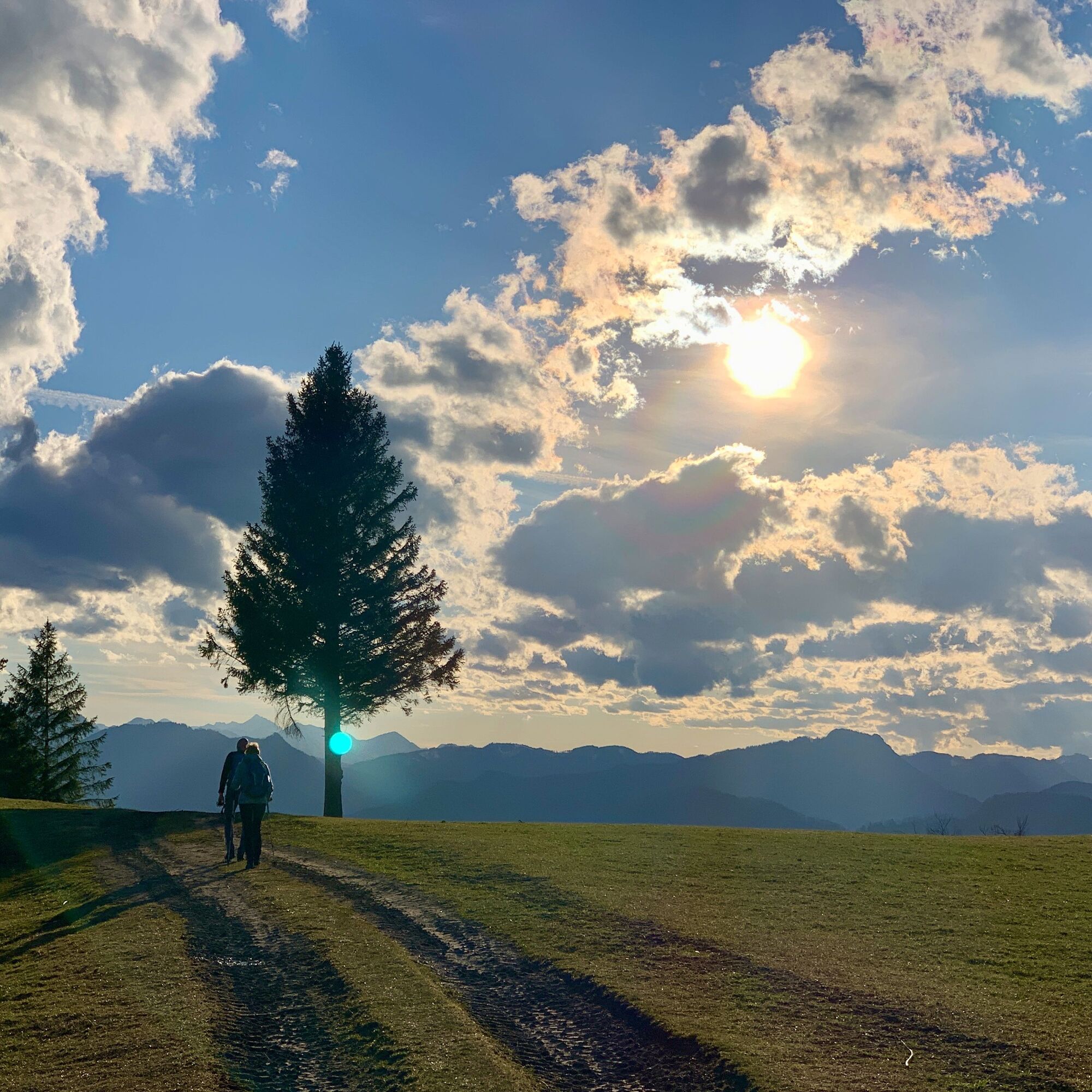
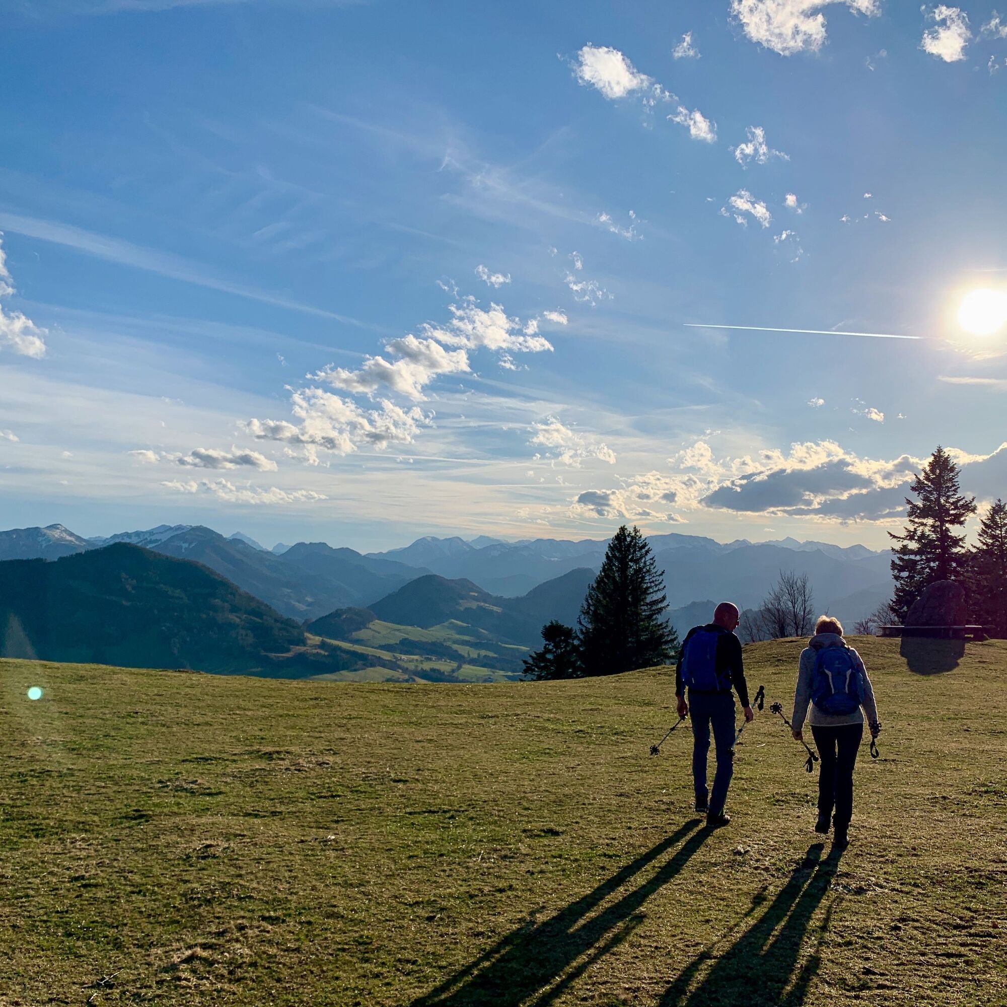
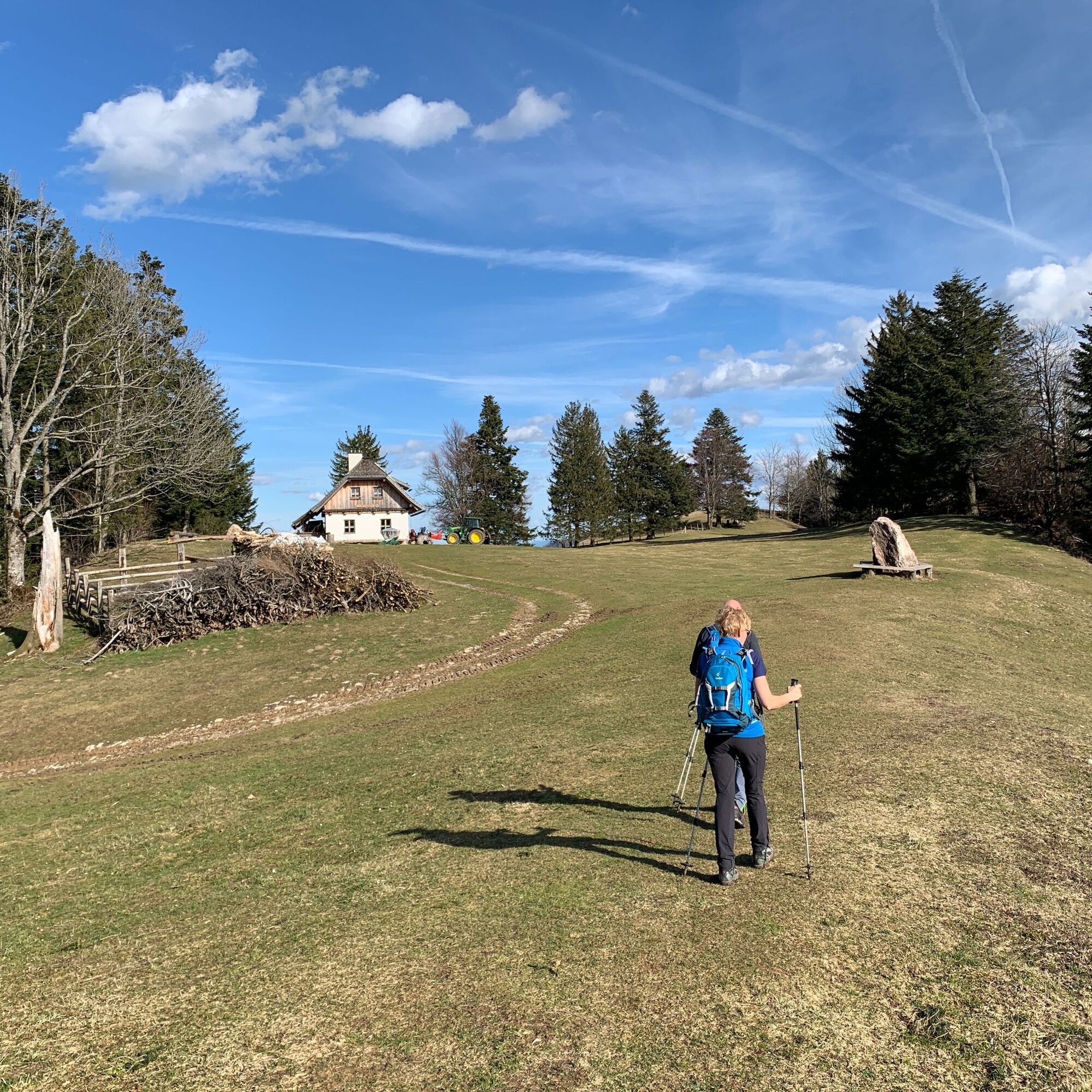
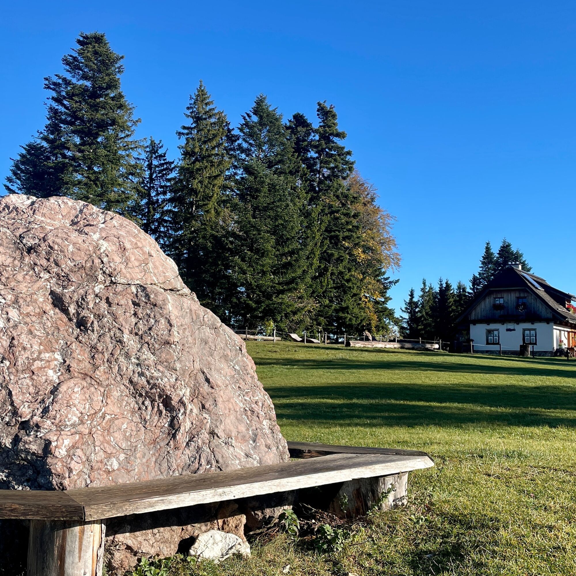


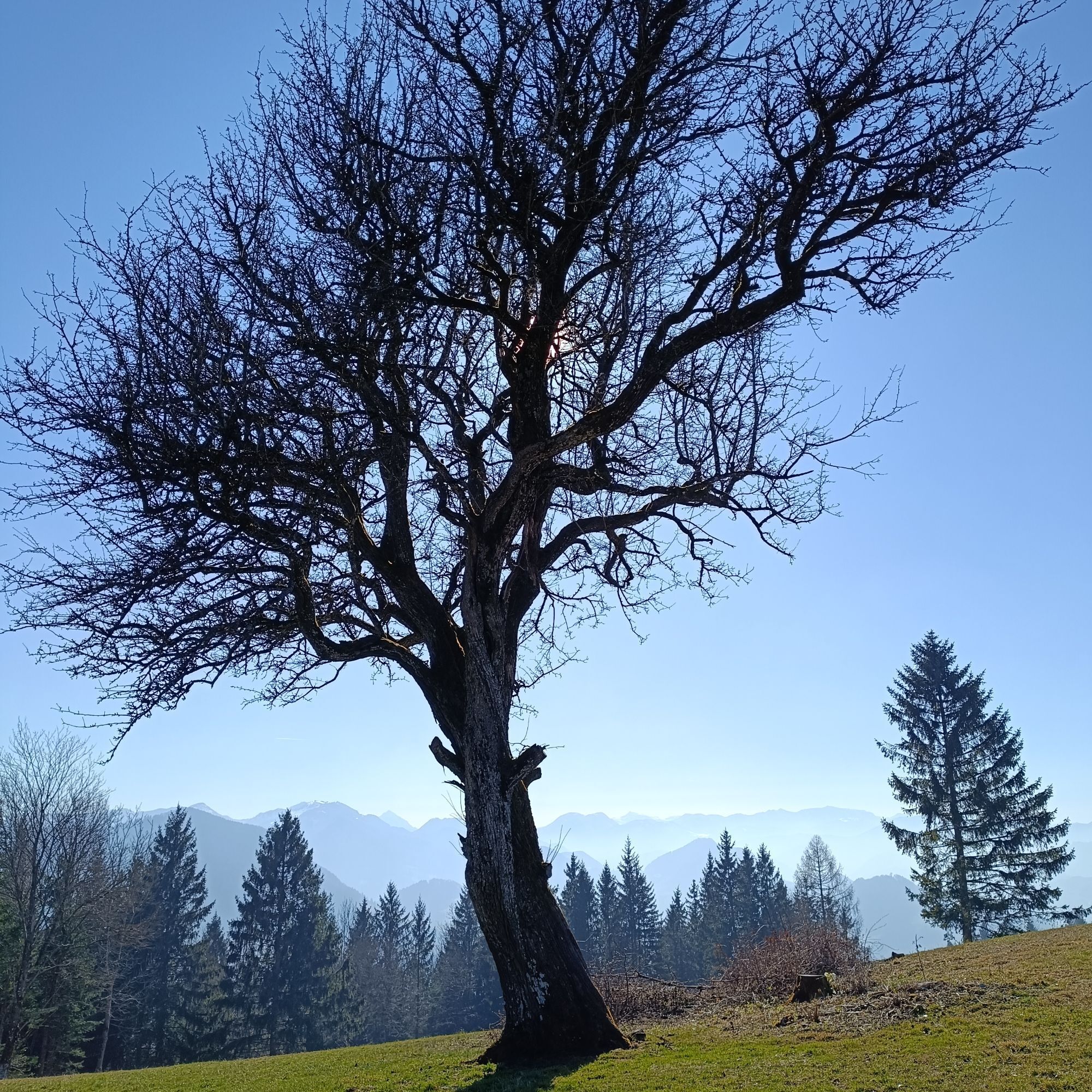
From the church square in Maria Neustift, the E31 leads to the Freithofberg. At first, the hiking trail runs uphill on an asphalt road. Next, it goes over a meadow ridge, then on a gravel path, across a meadow and through a short forest section. During the hike and upon reaching the destination, you will be rewarded with magnificent panoramas.
Variants:
Freithofberg Circular Route: From the church square to the Weger farmhouse, you walk on asphalt and from there the mountain is circled on the left, passing the junction to Konradsheim, at the Moosgraben fire station. After a short stretch on the state road, you leave it on the right side, walk past some farmhouses and soon have the Maria Neustift pilgrimage church in sight again. Freithofberg Panorama Trail: On the asphalt road to the Krendlberg farmhouse and from there on the gravel road and hiking trail to the Freithofbergalm.Da
From Vienna: A1 motorway exit Haag > B42 > B122 > B115 into the Enns Valley
From Passau: A8 Passau > Wels > A1 motorway exit Enns-Steyr > B115 into the Enns Valley
From Graz: A9 Pyhrnautobahn > motorway exit Klaus > Grünburg > into the Ennstal valley
Details at www.ooevv.at
Railway Stations are located in Ternberg, Trattenbach, Losenstein, Reichraming, Großraming, Gaflenz, Weyer, Küpfern, Kastenreith, Kleinreifling and Weißenbach-St. Gallen.
Parking spaces in the town center of Maria Neustift
 Pridobite vpogled
Vedno v živo na mestu z več kot 9.500 spletnimi kamerami. bergfex Kot uporabnik Pro si lahko zdaj ogledate ustrezne spletne kamere za številne izlete v aplikaciji izleti iz. Tako si lahko neposredno ogledate trenutne razmere.
Pridobite vpogled
Vedno v živo na mestu z več kot 9.500 spletnimi kamerami. bergfex Kot uporabnik Pro si lahko zdaj ogledate ustrezne spletne kamere za številne izlete v aplikaciji izleti iz. Tako si lahko neposredno ogledate trenutne razmere.


Priljubljeni izleti v okolici
-
4.9
Ennser Hut - Almkogel (from Bamacher car park)
srednjaPohodništvo 3.53 km -
4.8
Steinerner Jäger (1185m) und Schieferstein (1206m) ab Parkplatz Hochhabichler
srednjaPohodništvo 4.46 km -
4.7
GROSSRAMING Bamacher, Burgspitz, Almkogel, Ennshütte 20240730
srednjaPohodništvo 10 km -
4.7
Steinerner Jäger (1185m) und Schieferstein (1206m) ab Parkplatz Hack
težkoPohodništvo 8.58 km -
4.4
Kleine Gipfelrunde Glasenberg
svetlobaPohodništvo 4.99 km -
3.8
Lindaumauer (1103 m)
Pohodništvo 3.40 km -
4.5
Lindaumauer, Maria Neustift
srednjaPohodništvo 5.53 km -
4.6
Gamsstein (1275m) und Gschwendtalm ab Parkplatz Brunnbach
srednjaPohodništvo 7.37 km -
4.9
Dambergwarte
svetlobaPohodništvo 3.28 km -
4.4
Sebaldusweg stage 2 of 4 | Laussa - Maria Neustift
srednjaRomarska pot 20.9 km

Pohodništvo in sledenje


Ne zamudite ponudb in navdiha za naslednje počitnice
Vaš e-poštni naslov je bil dodan na poštni seznam.





