


Heart of the Mostviertel Circular Hiking Trail - Overall Route
Stopnja težavnosti: T1
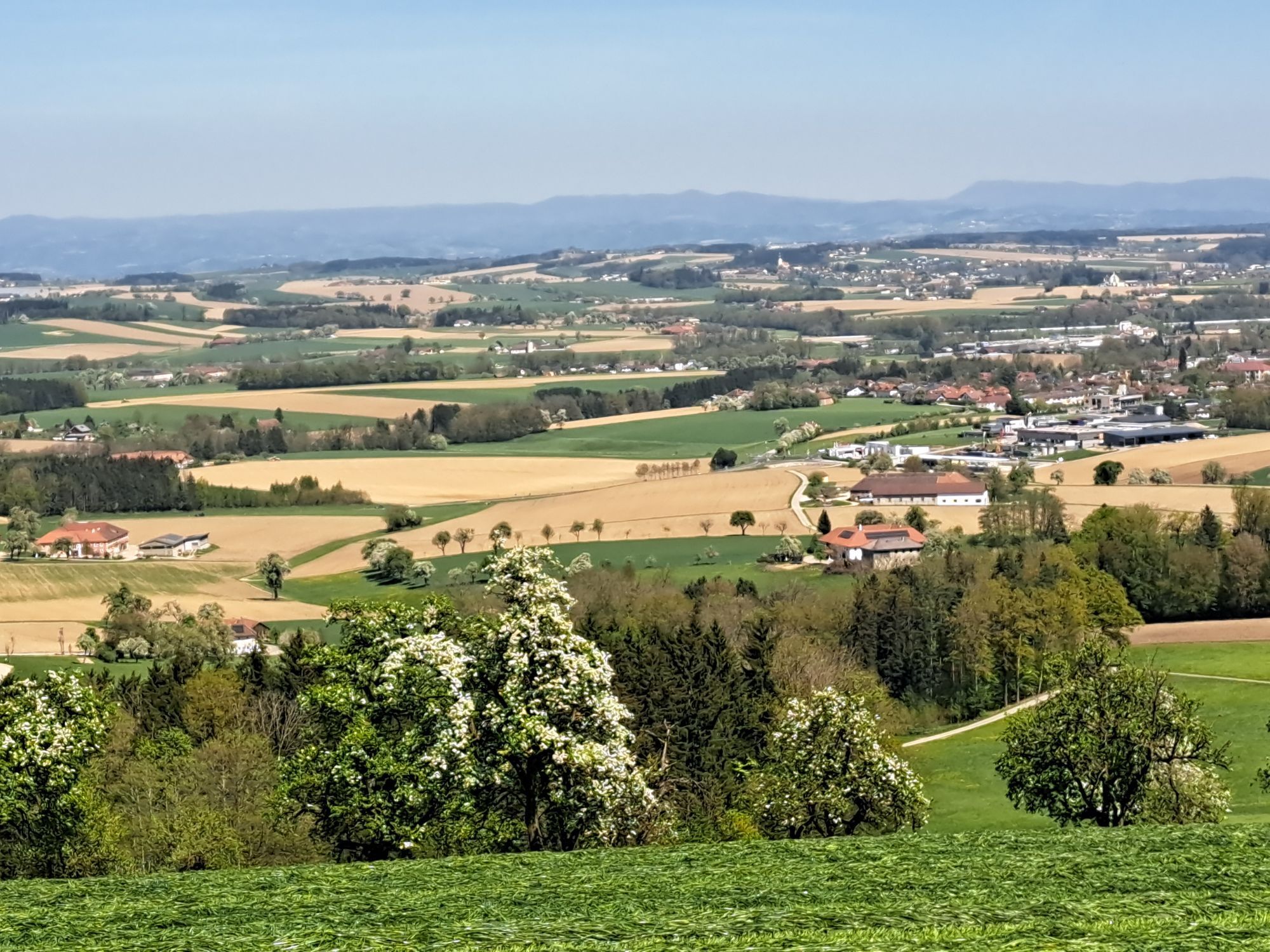
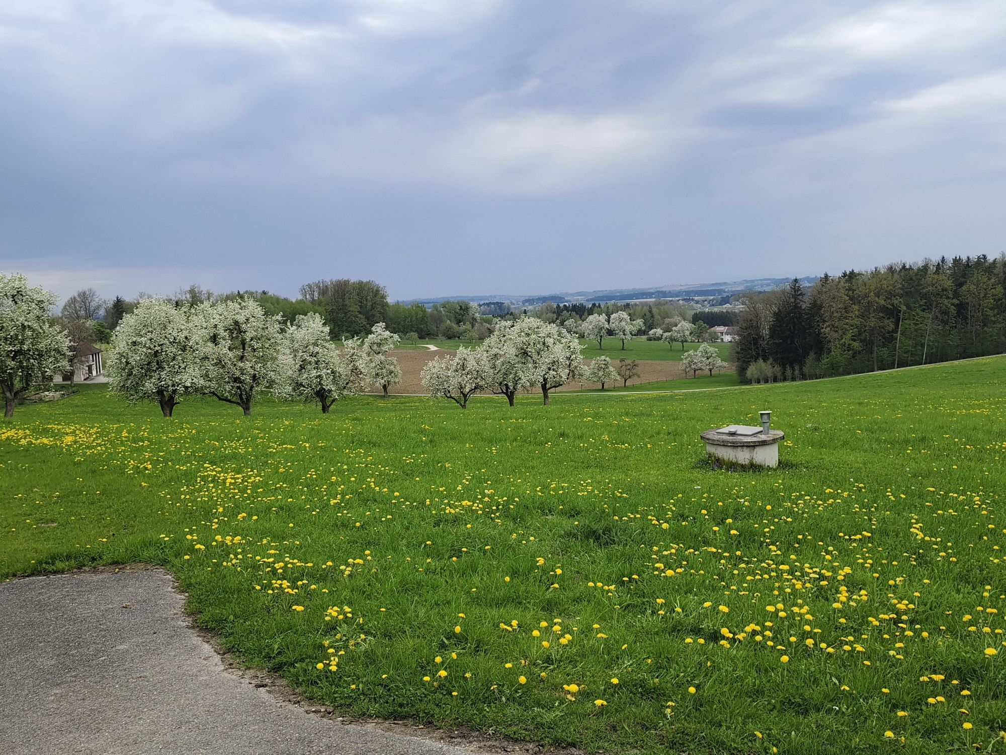
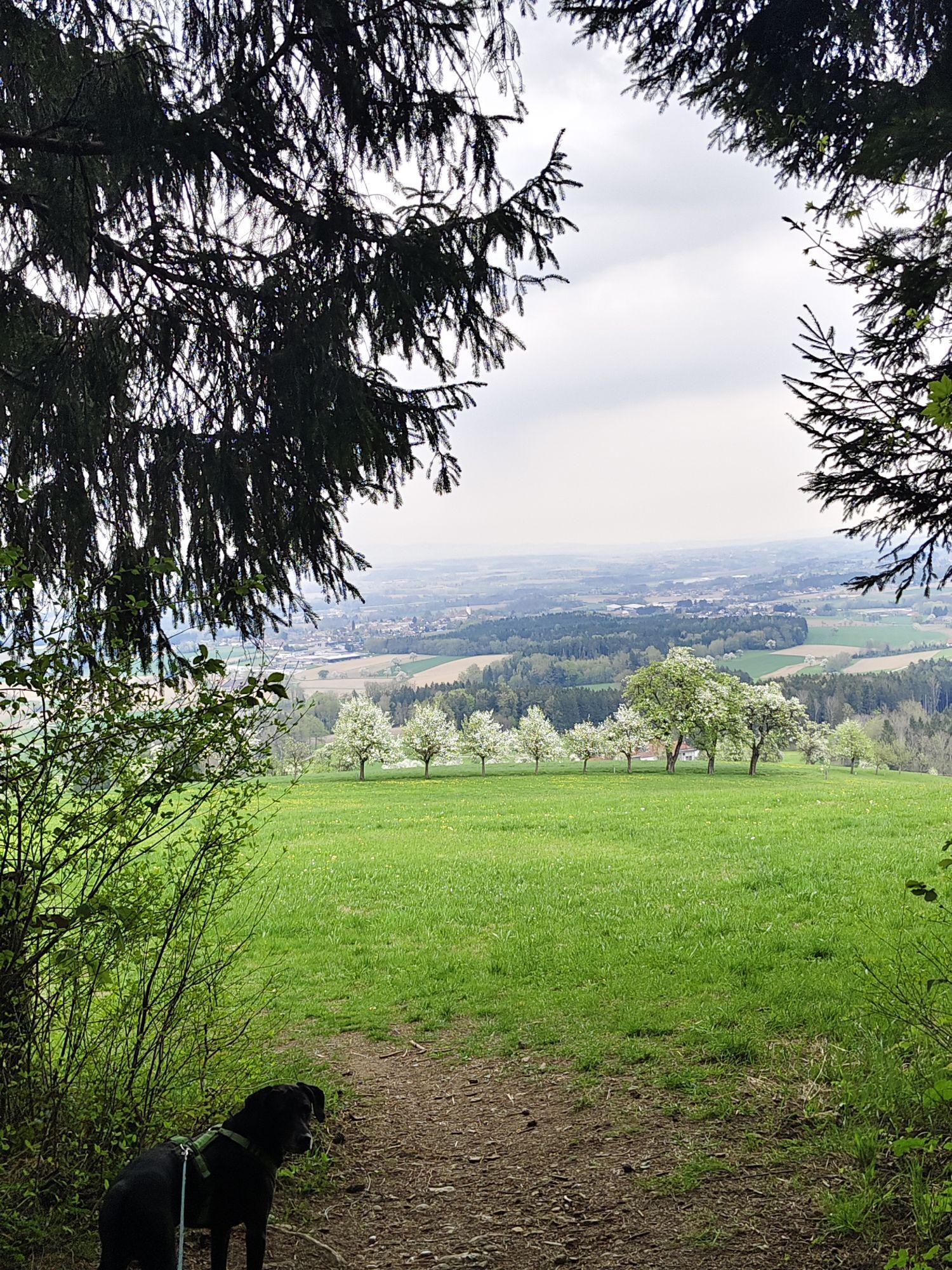
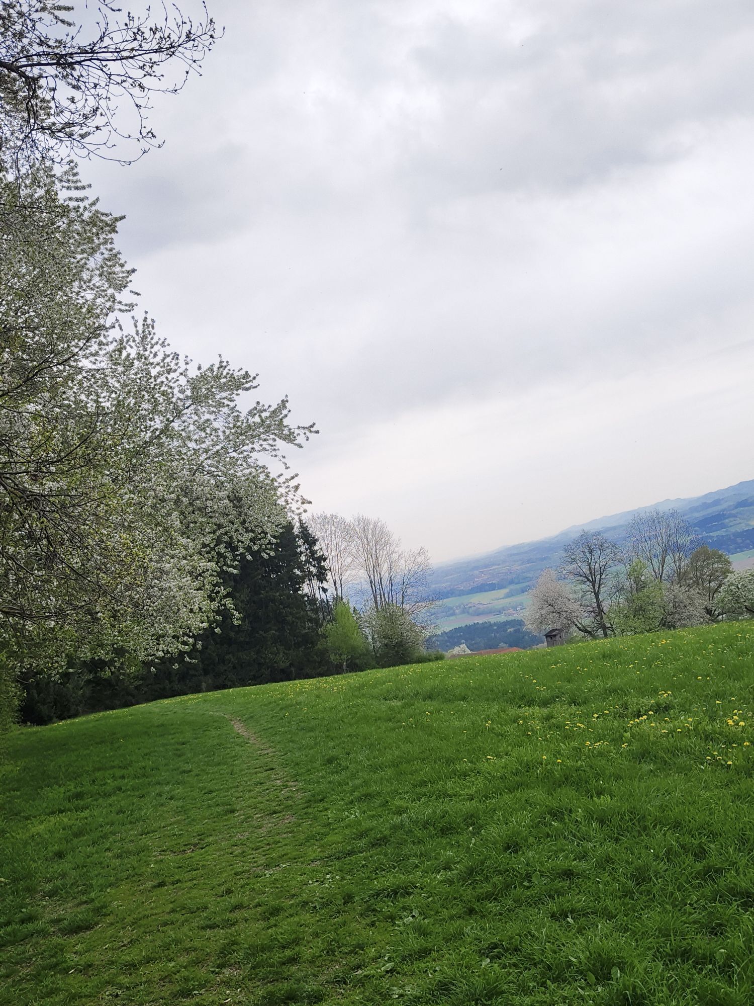
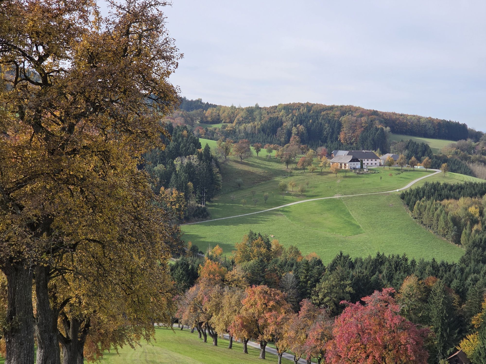
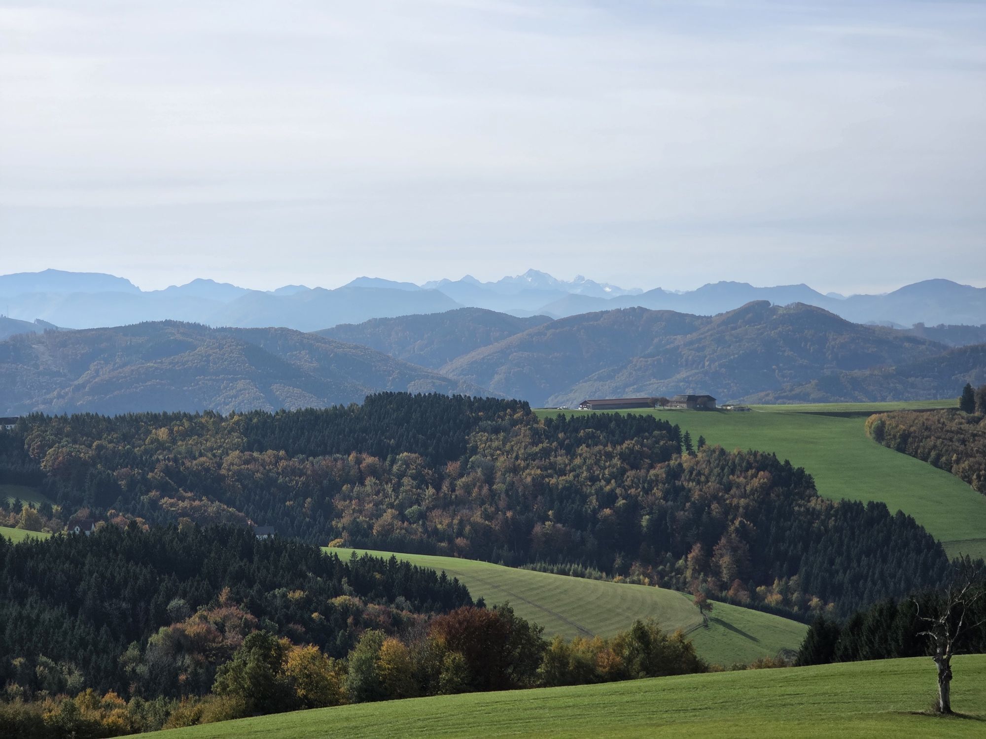
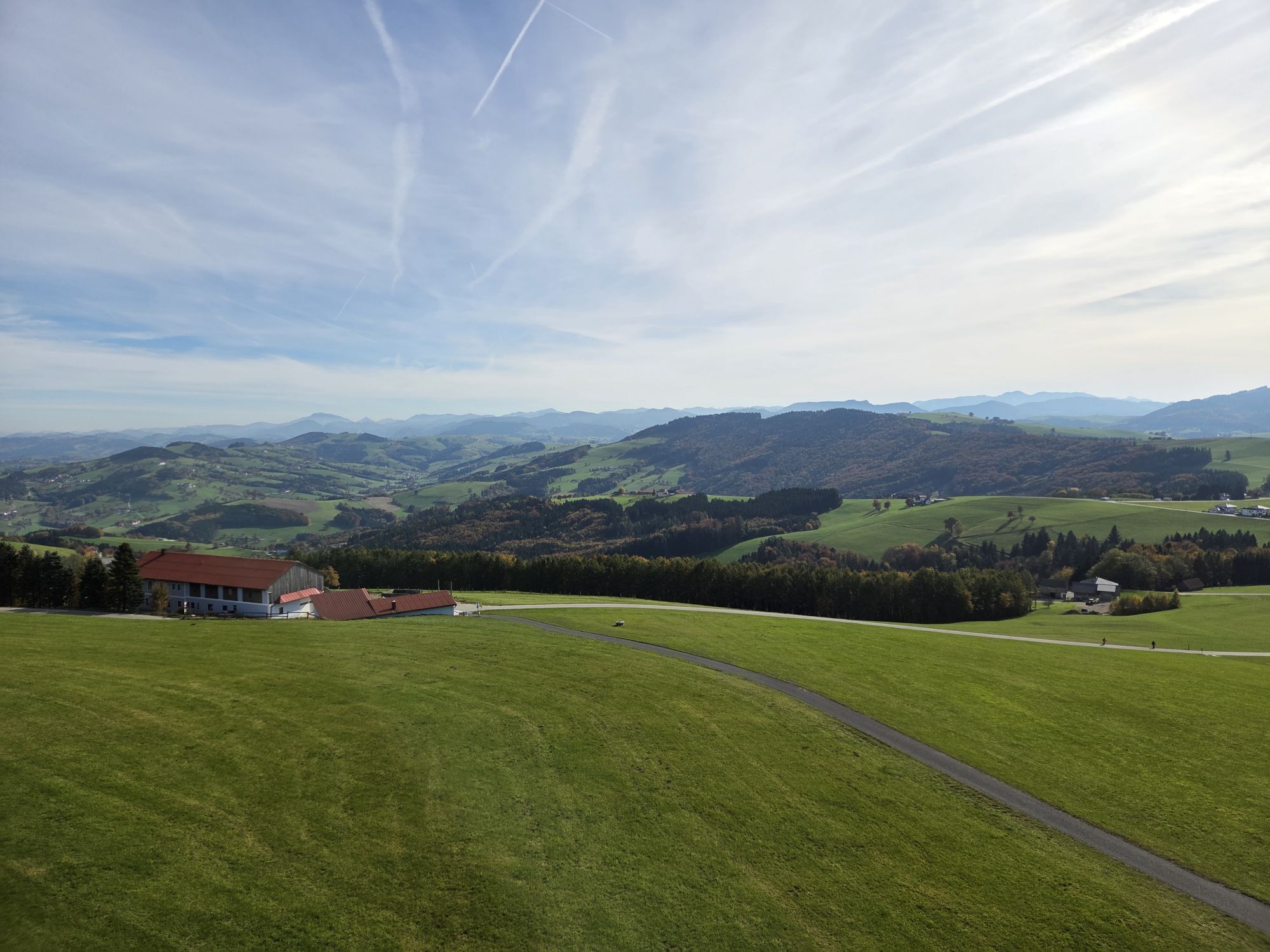
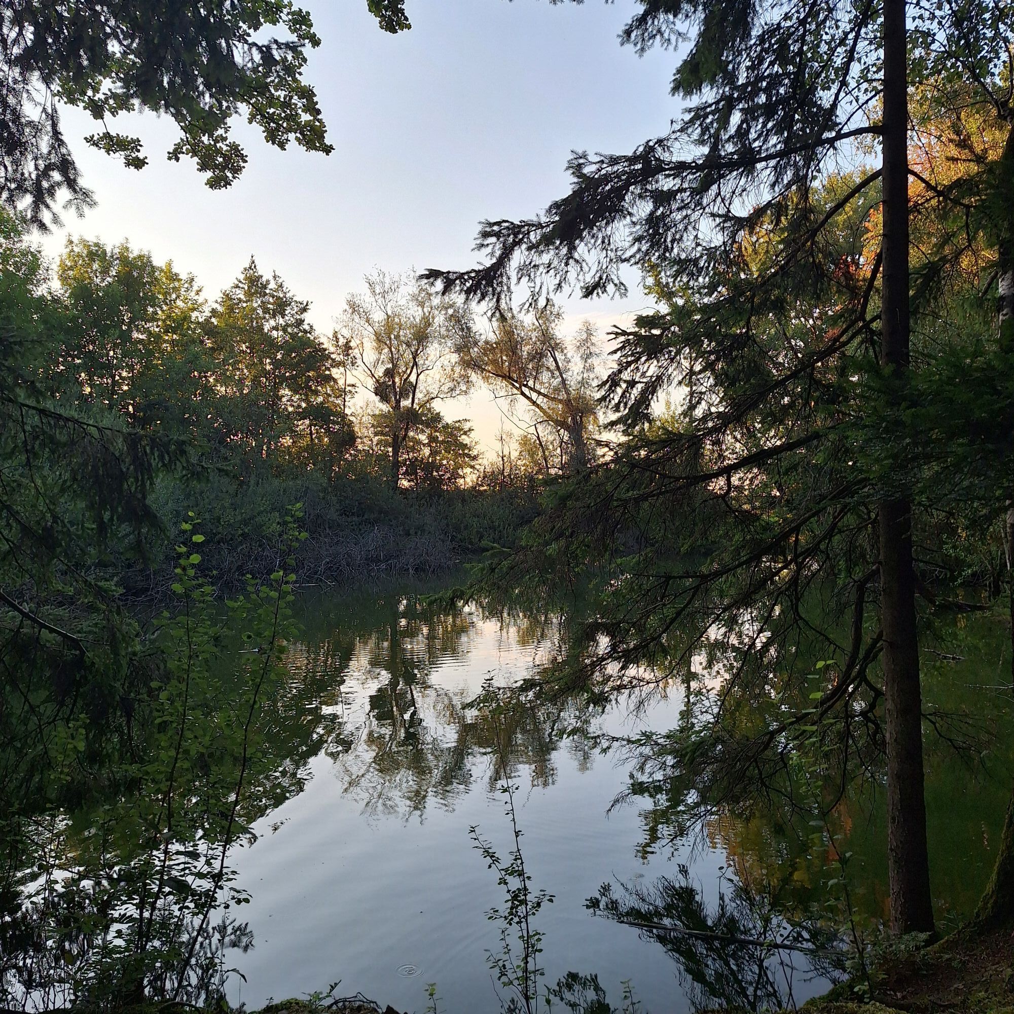
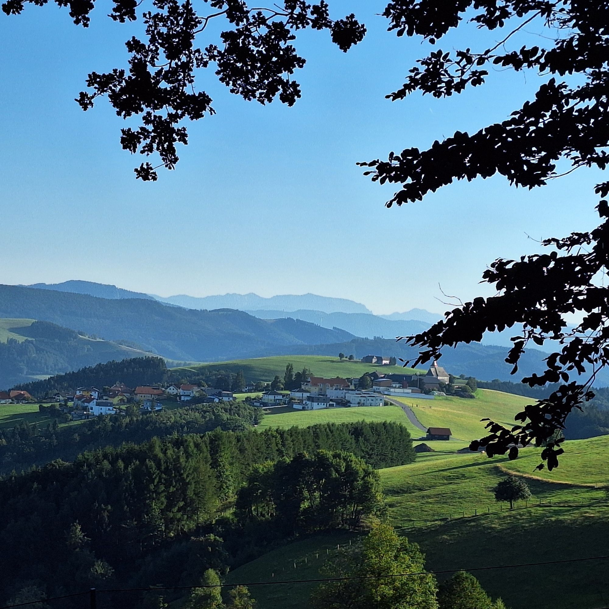
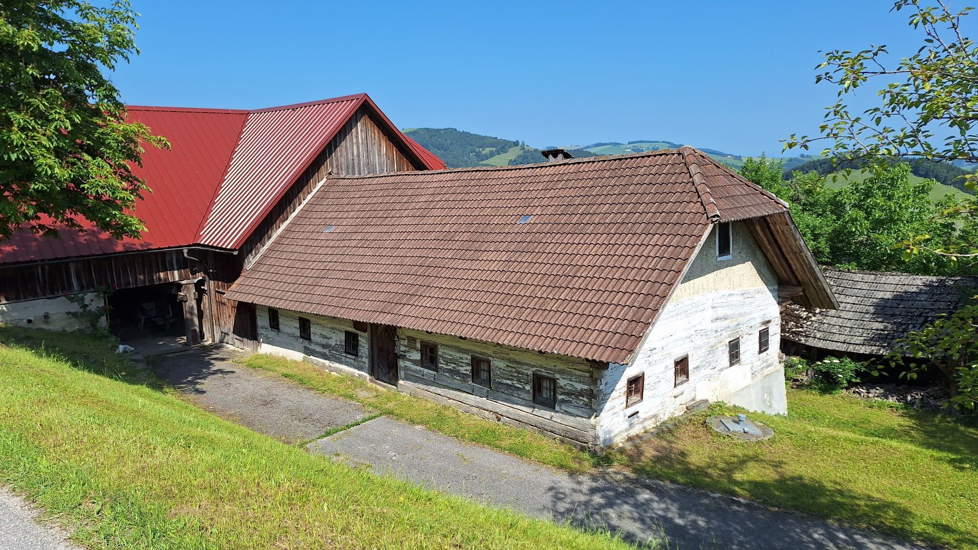
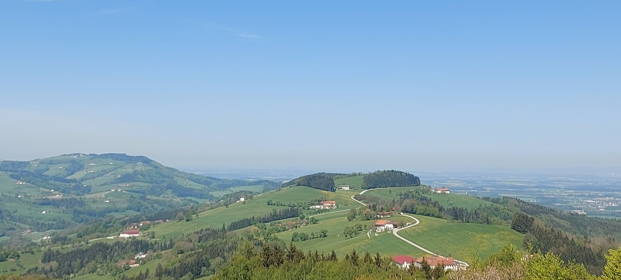
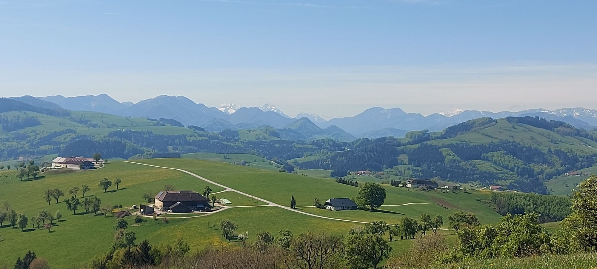
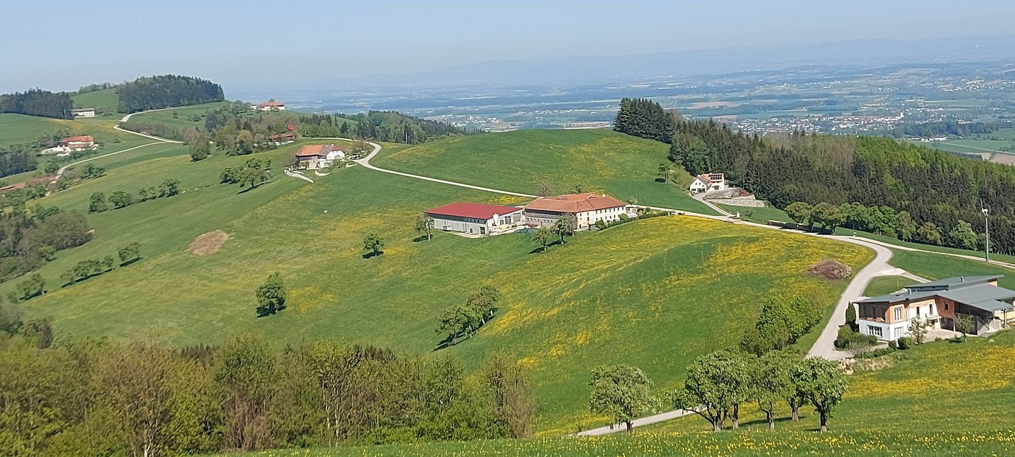
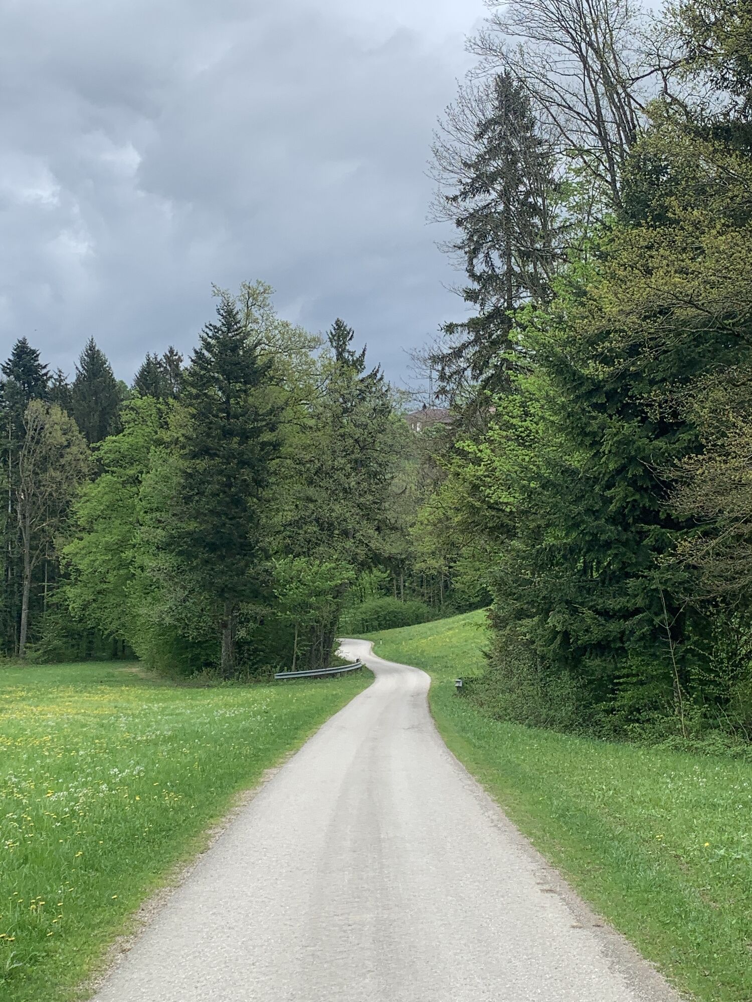
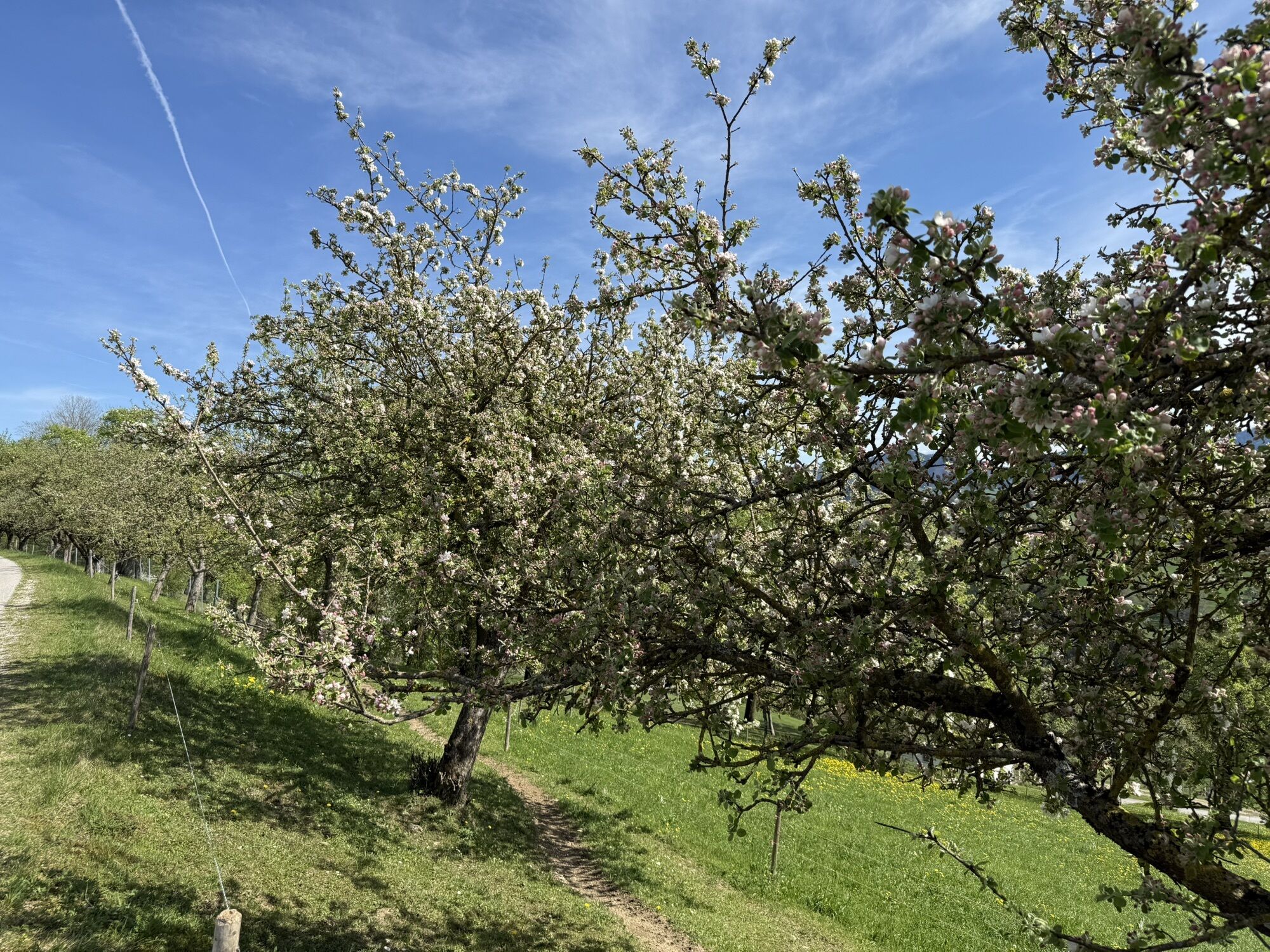
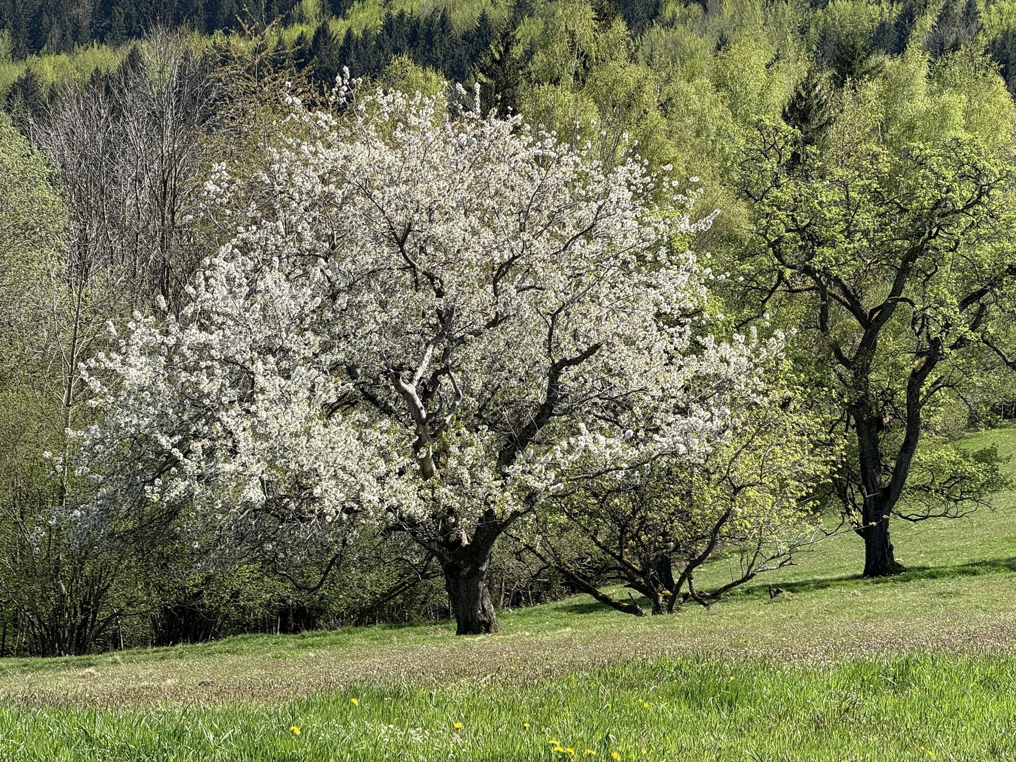
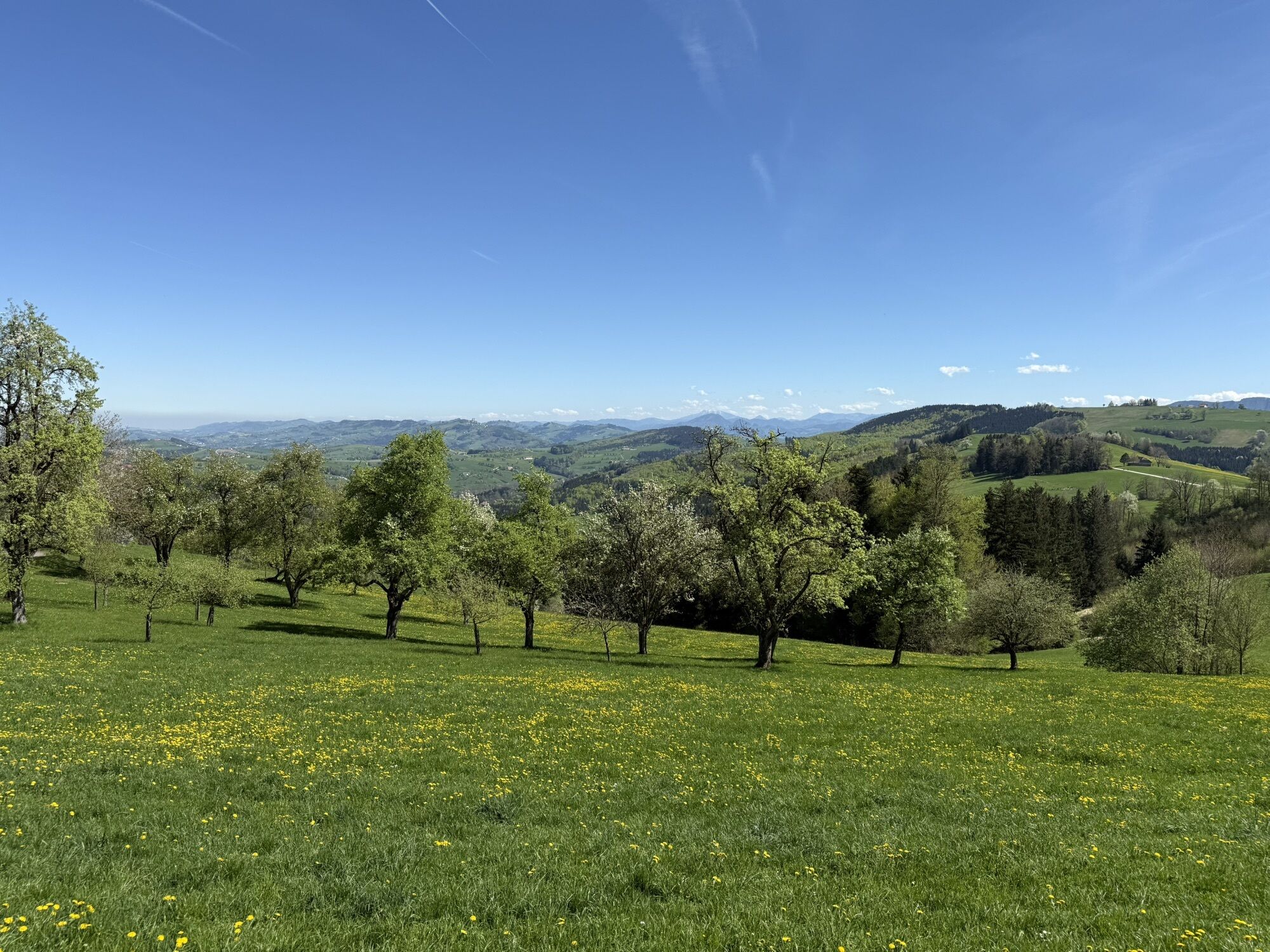
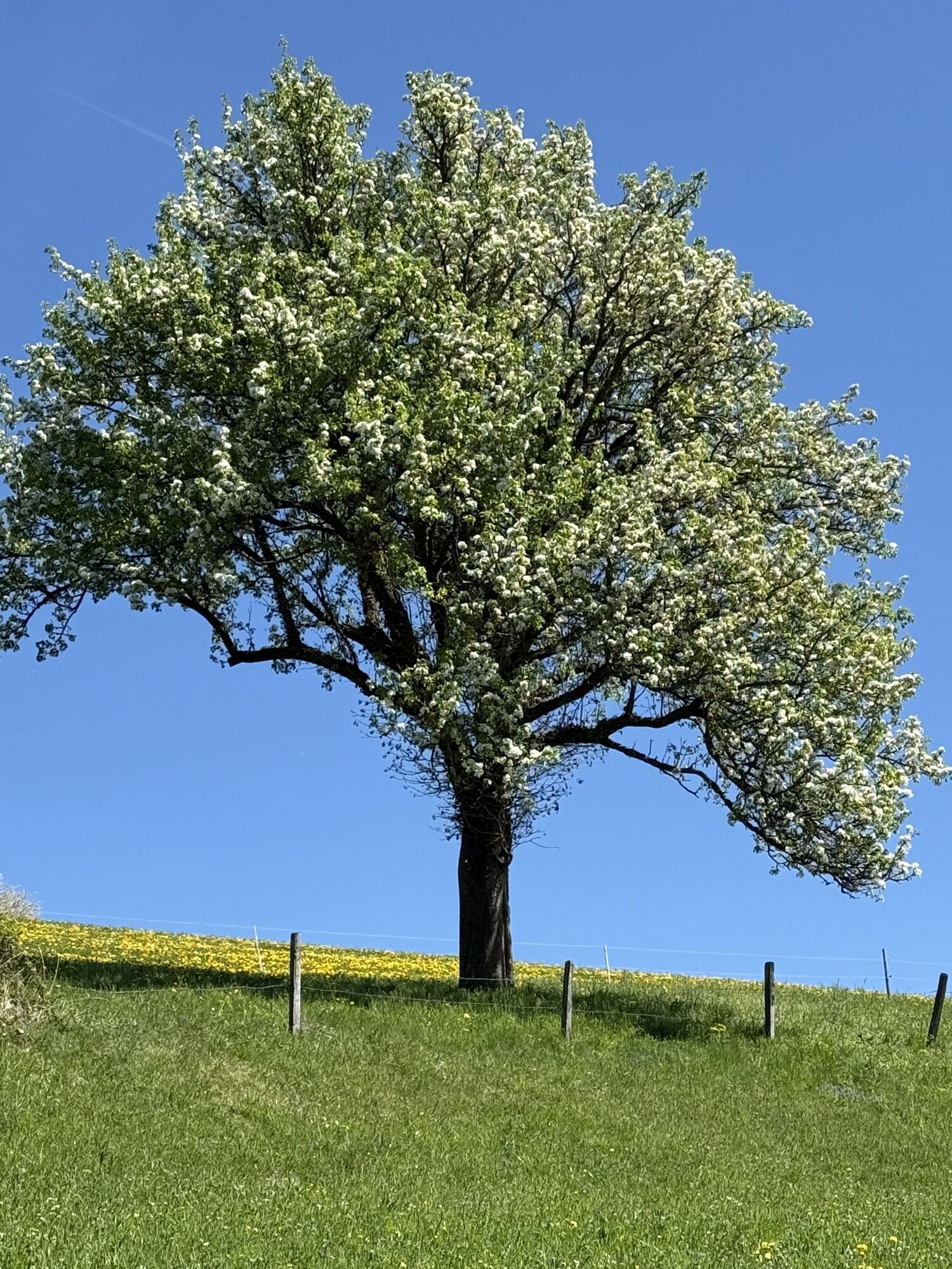
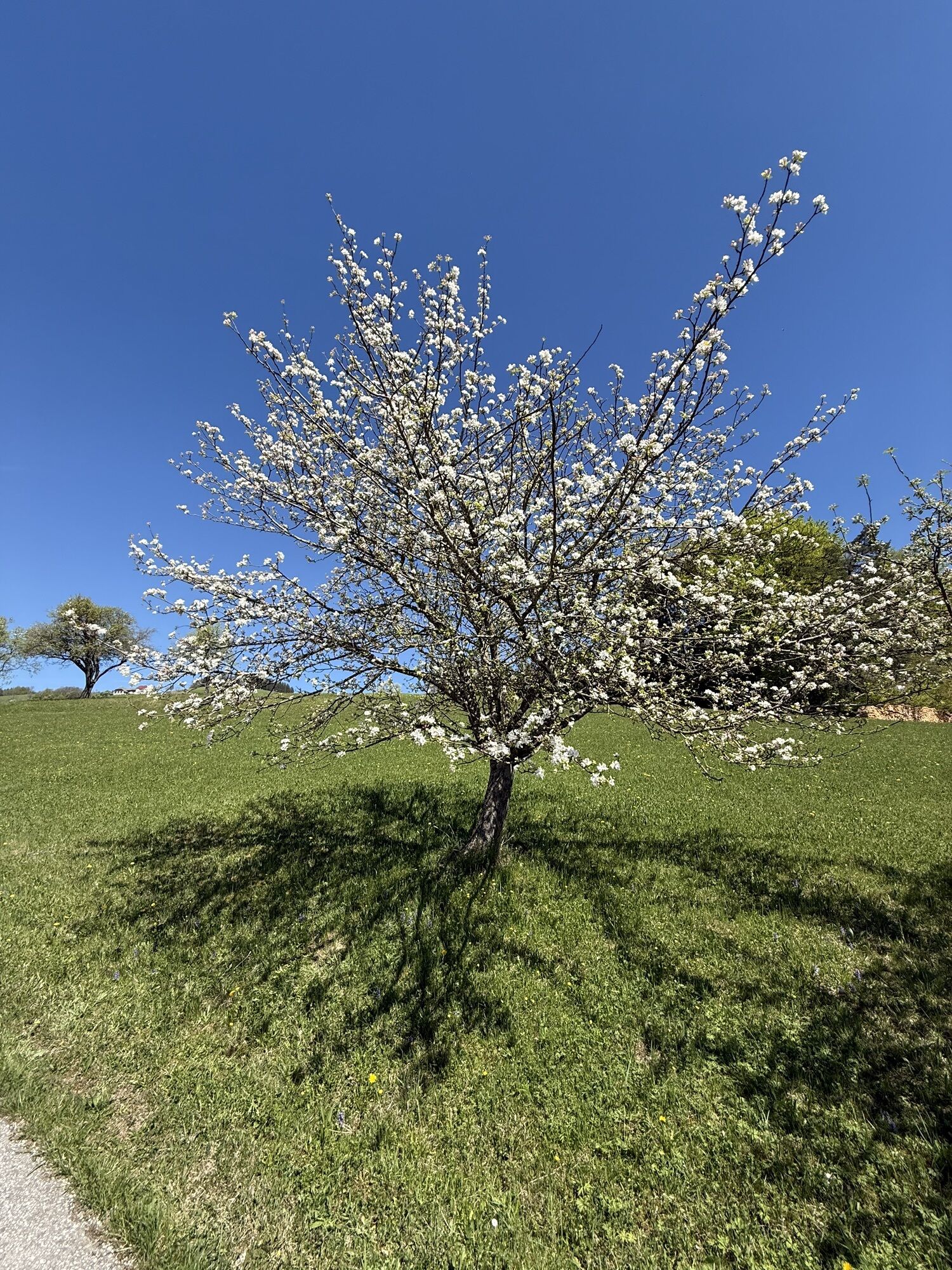
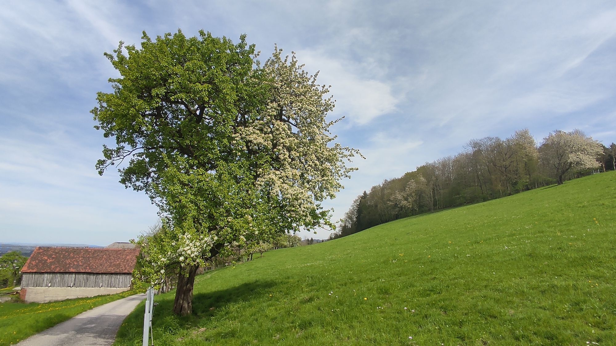
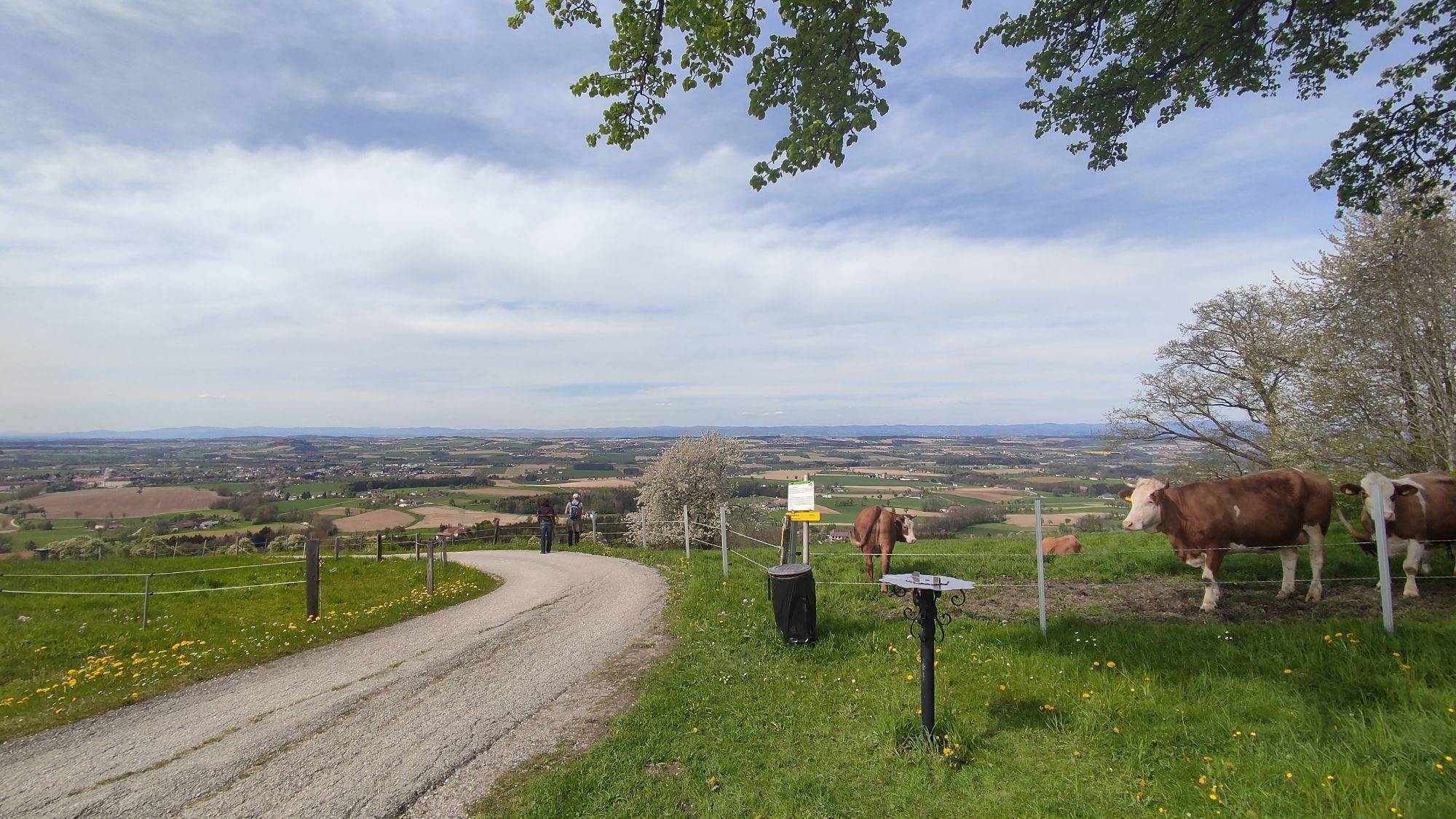
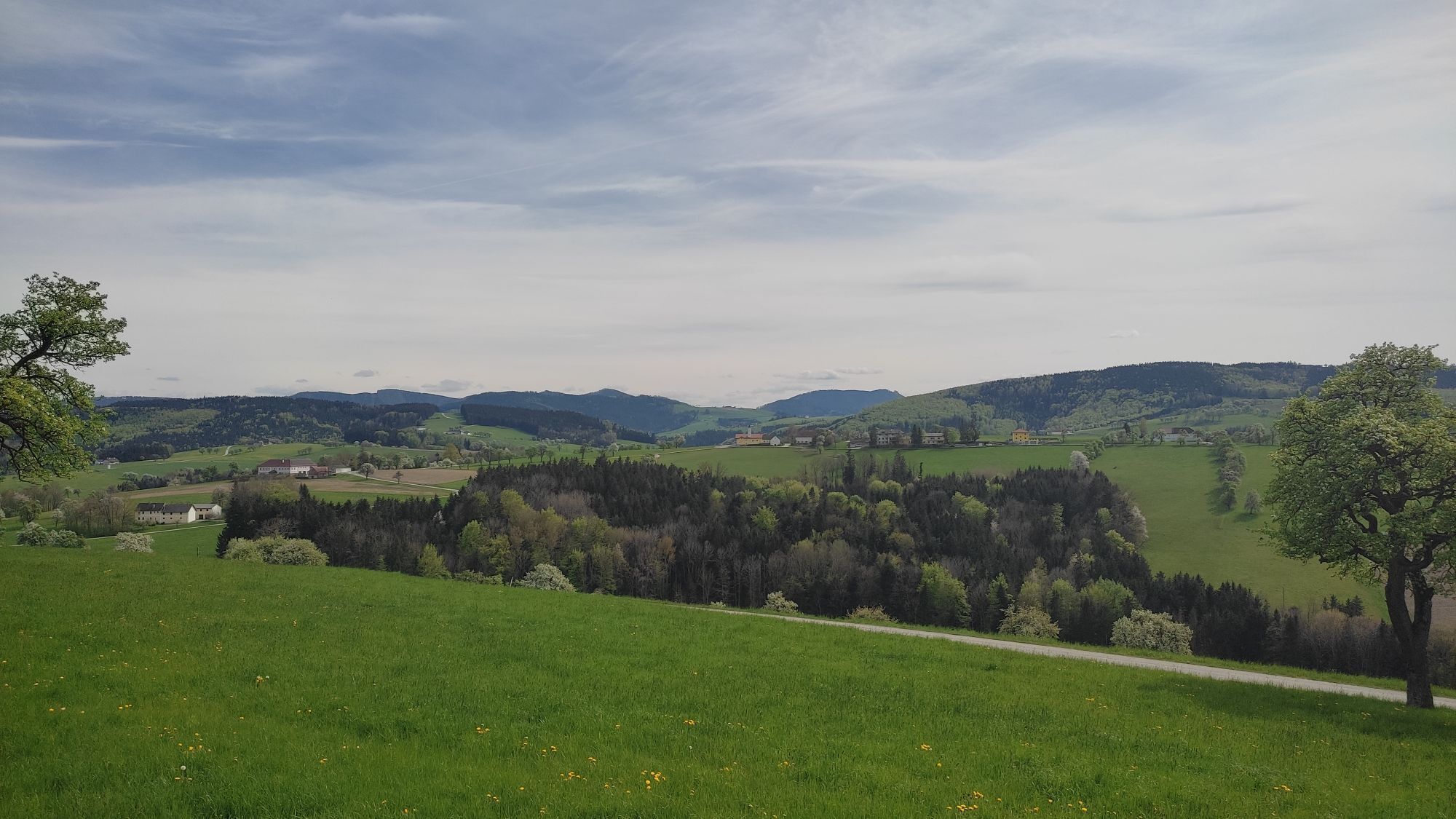
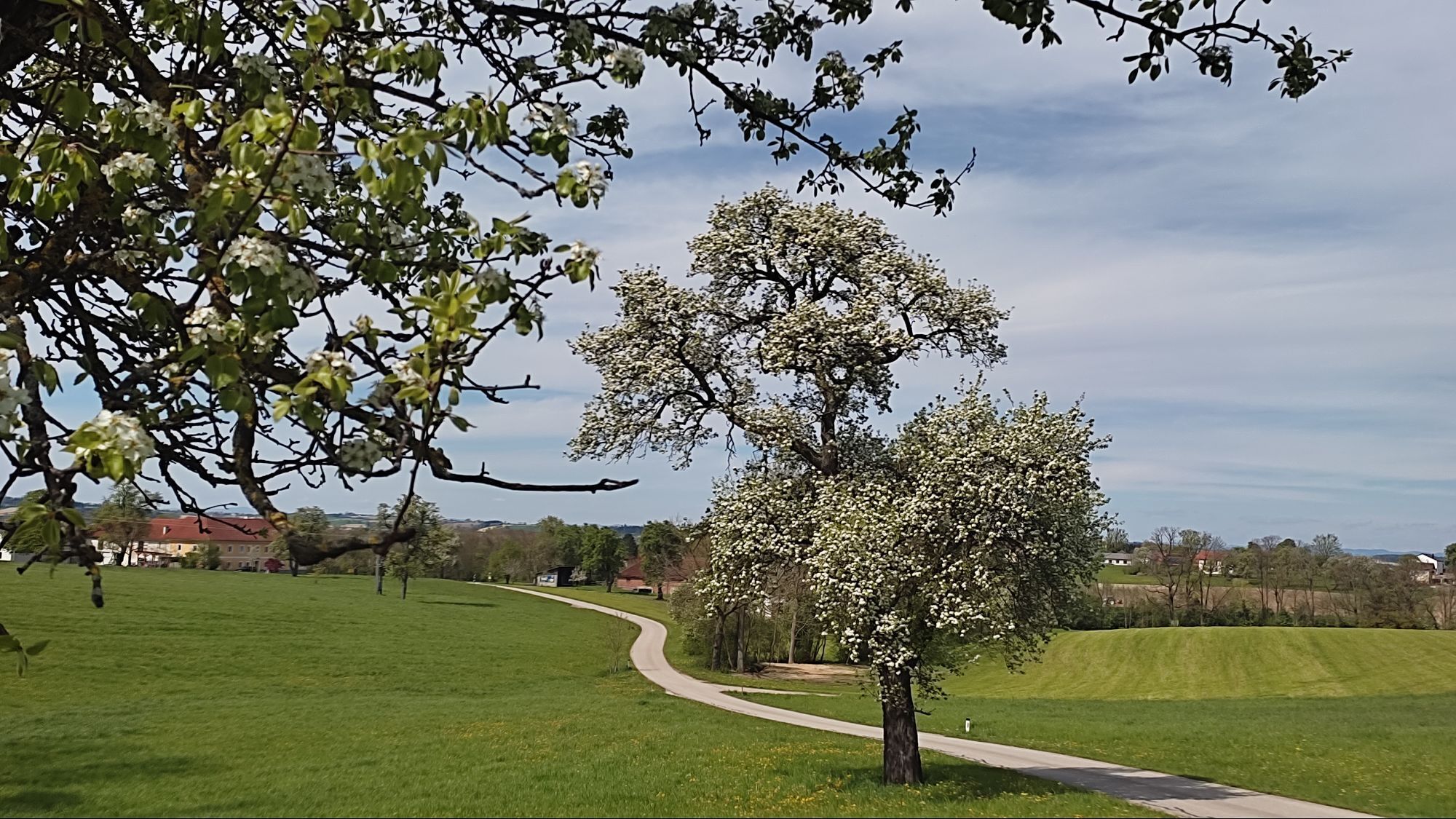
The “Heart of the Mostviertel Circular Hiking Trail” leads in eight stages and over 110 kilometers between rustic orchard meadows past impressive four-sided farms. Landscape, wide views, and regional specialties...
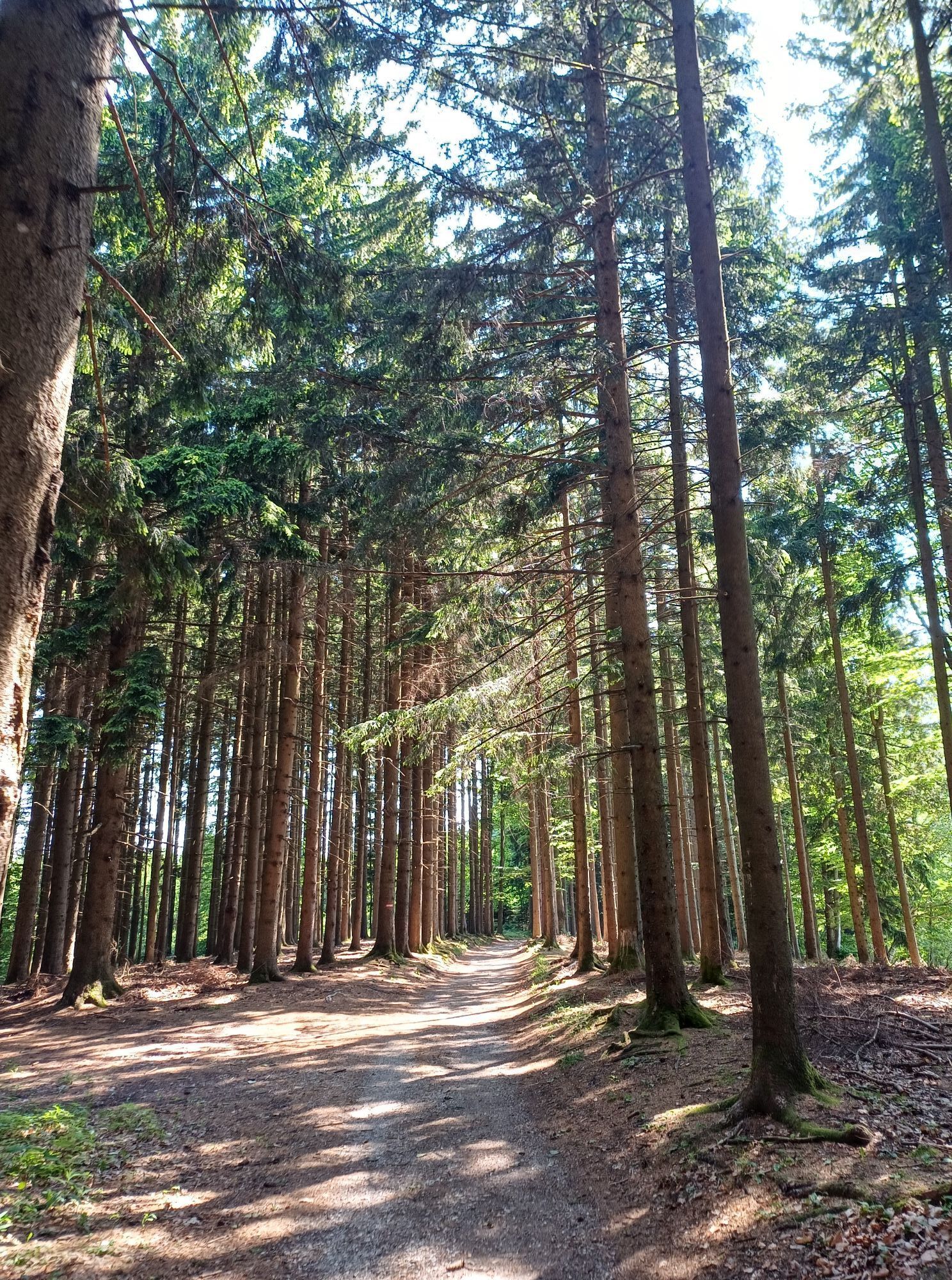
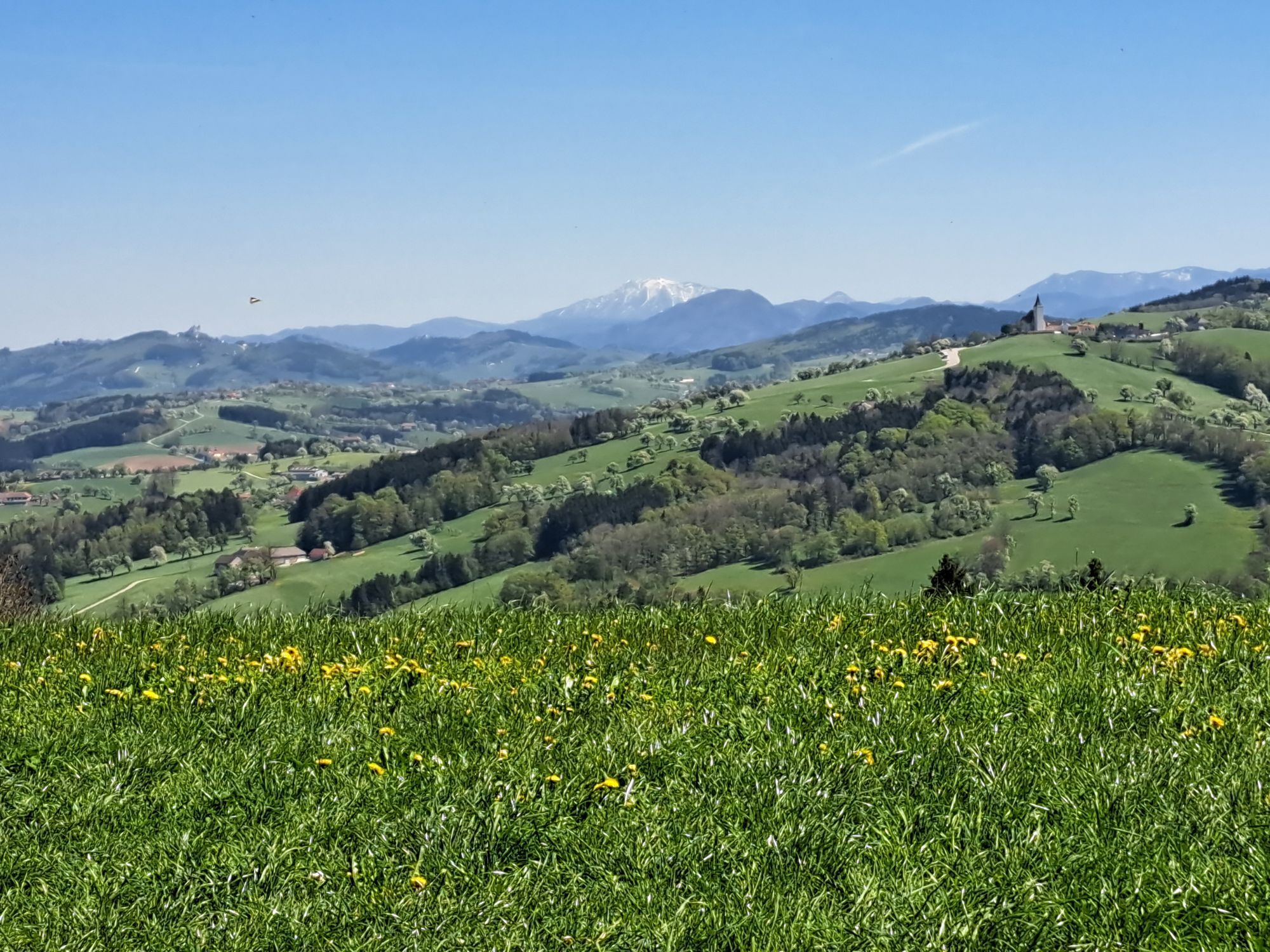
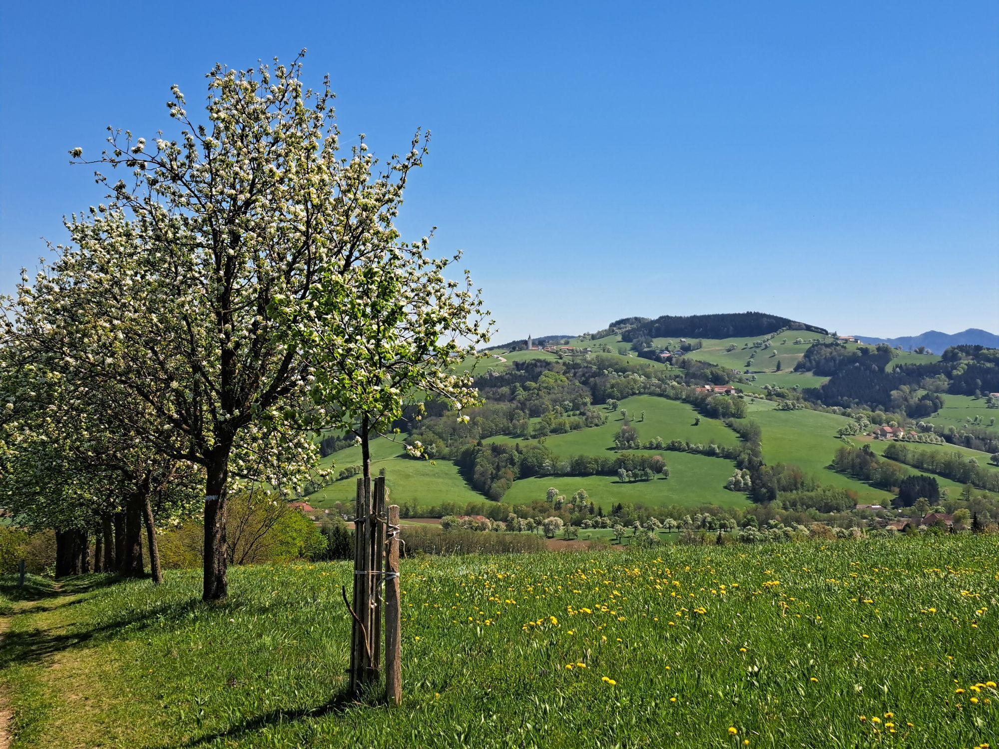
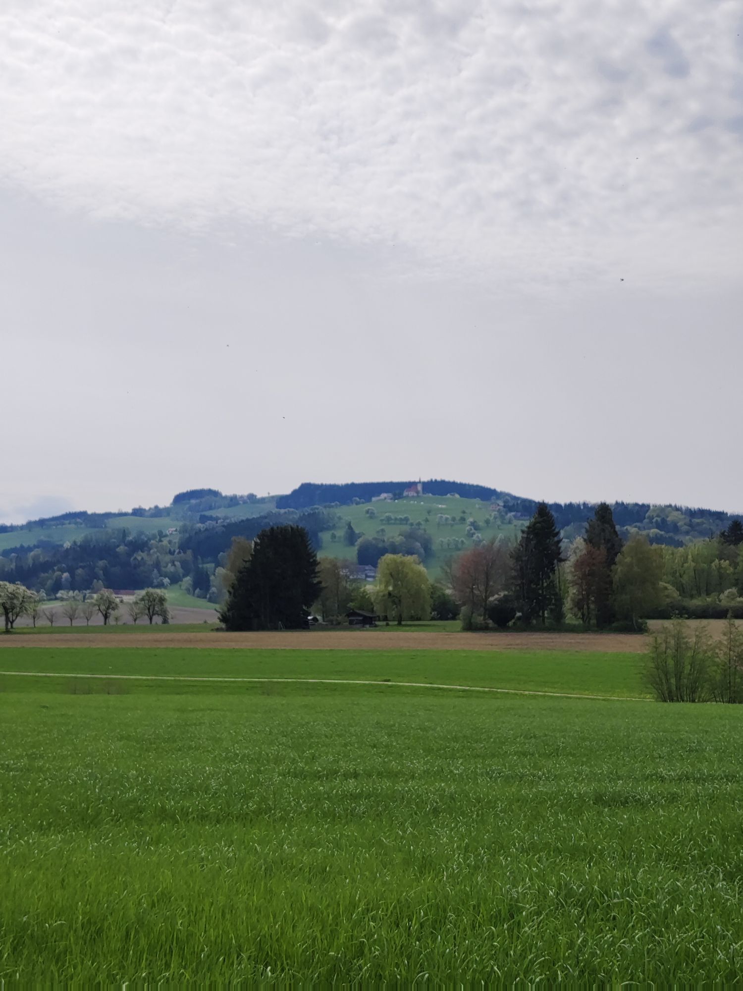
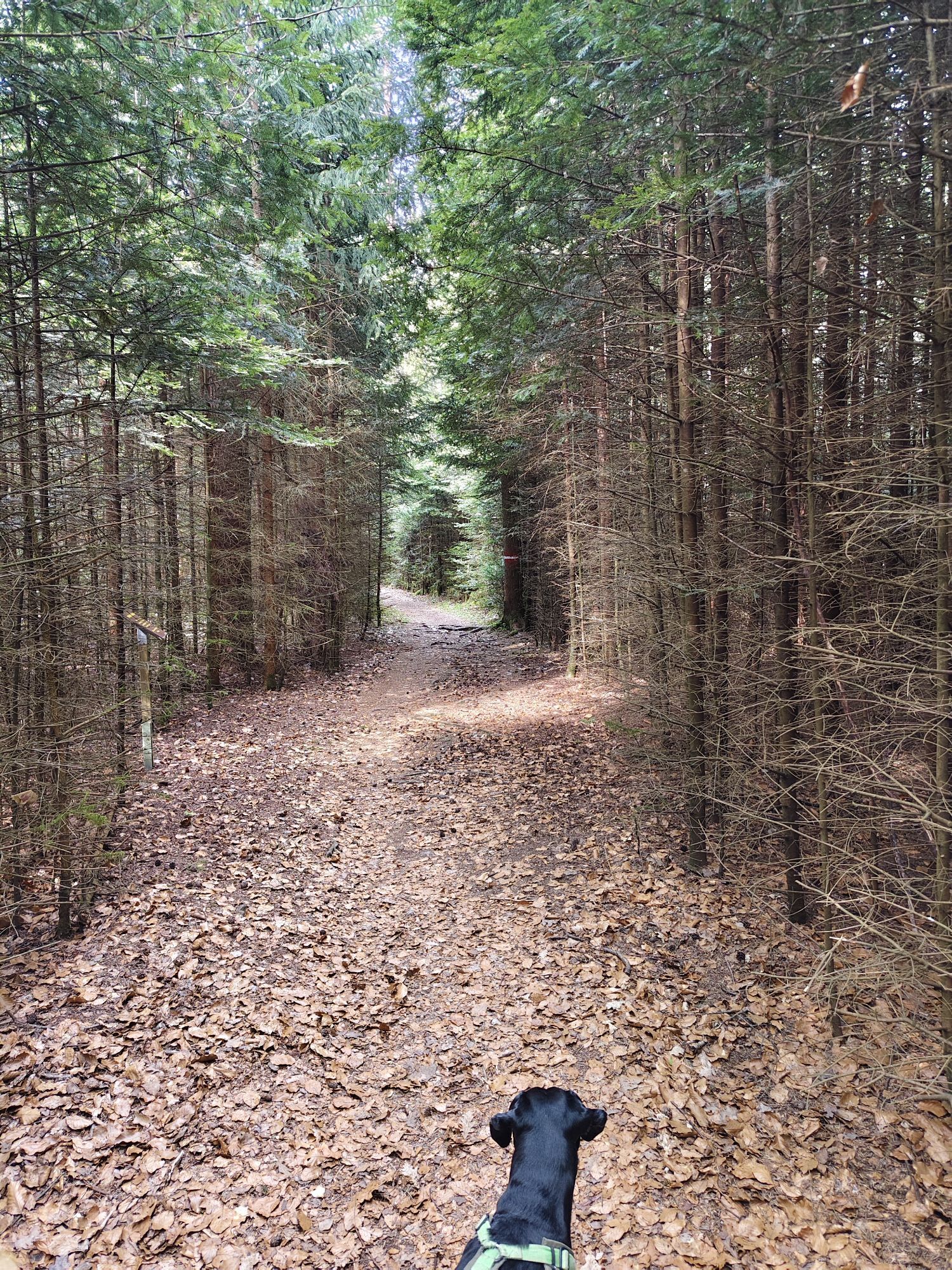
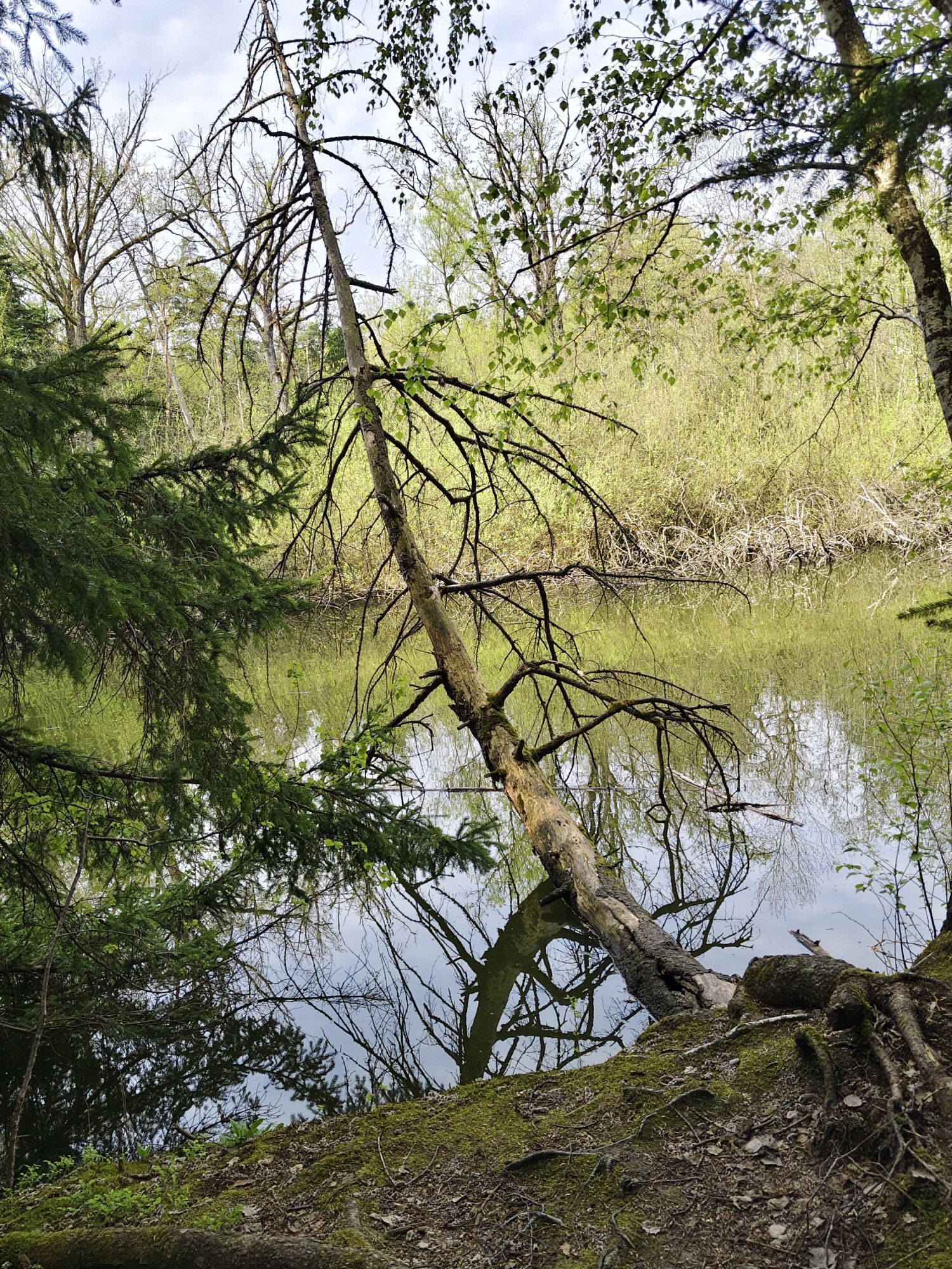
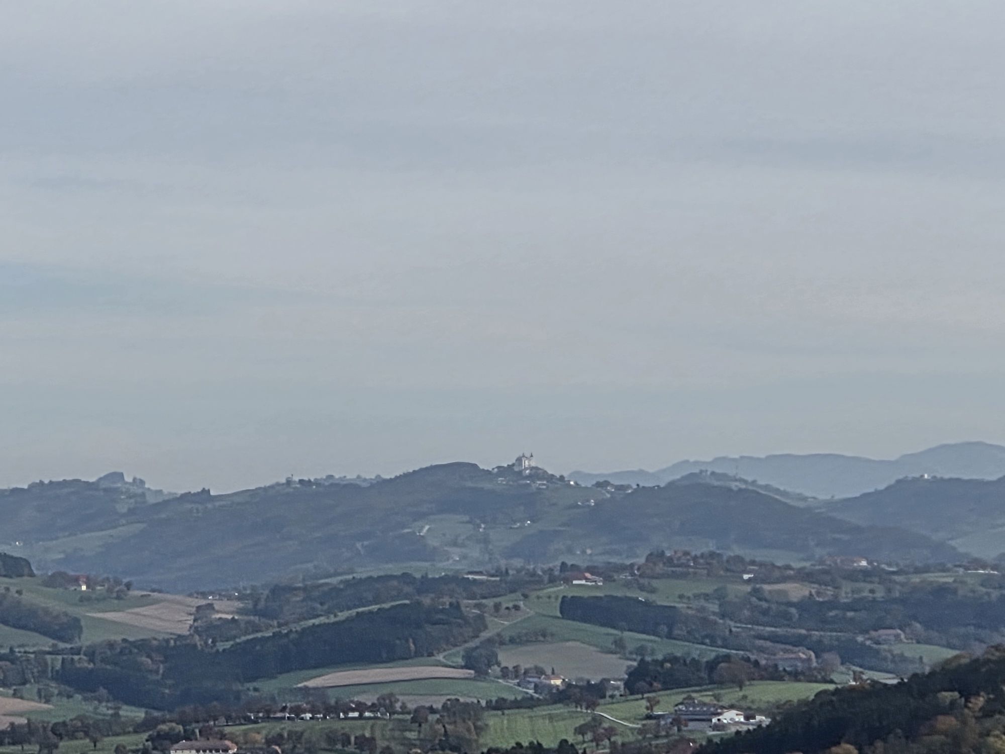
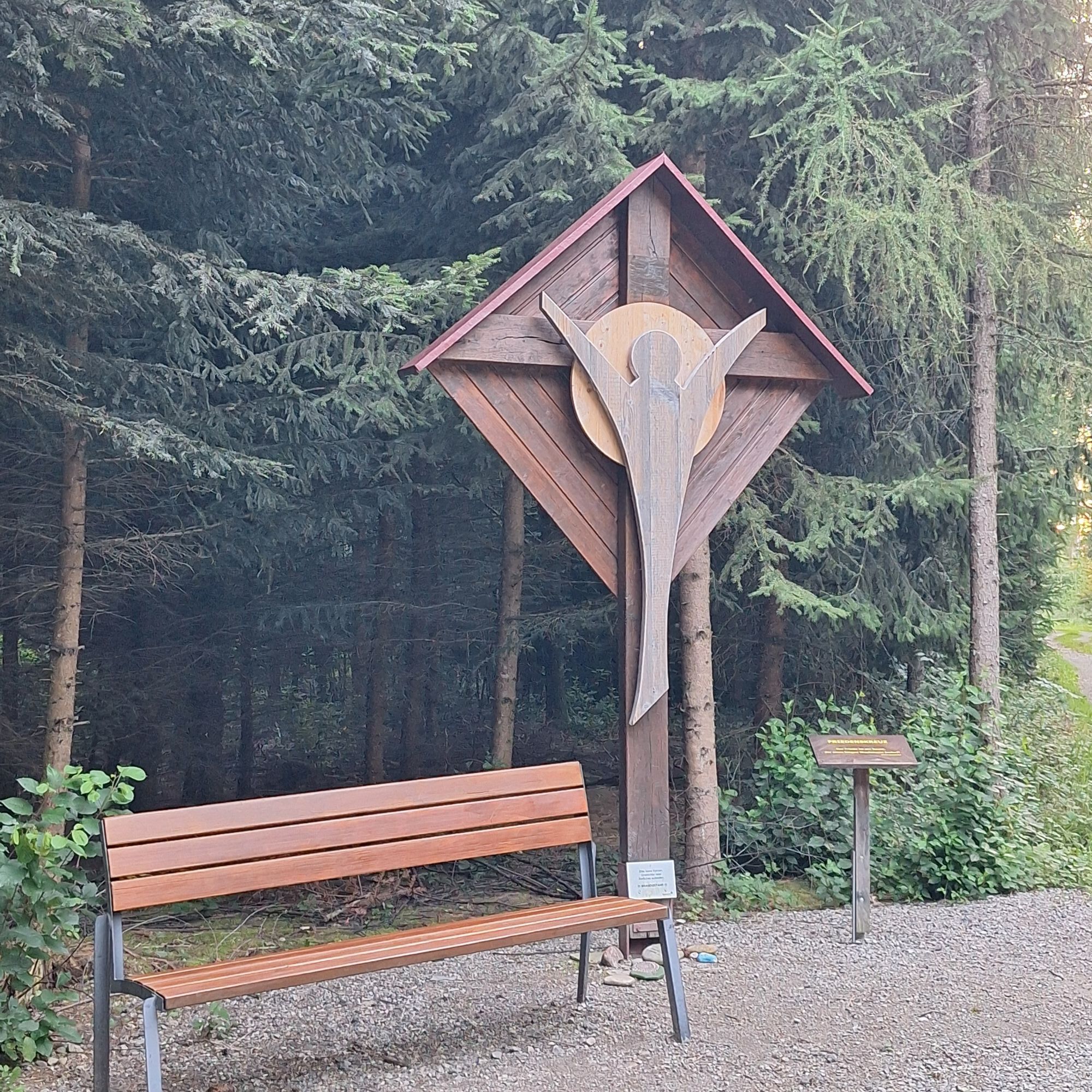
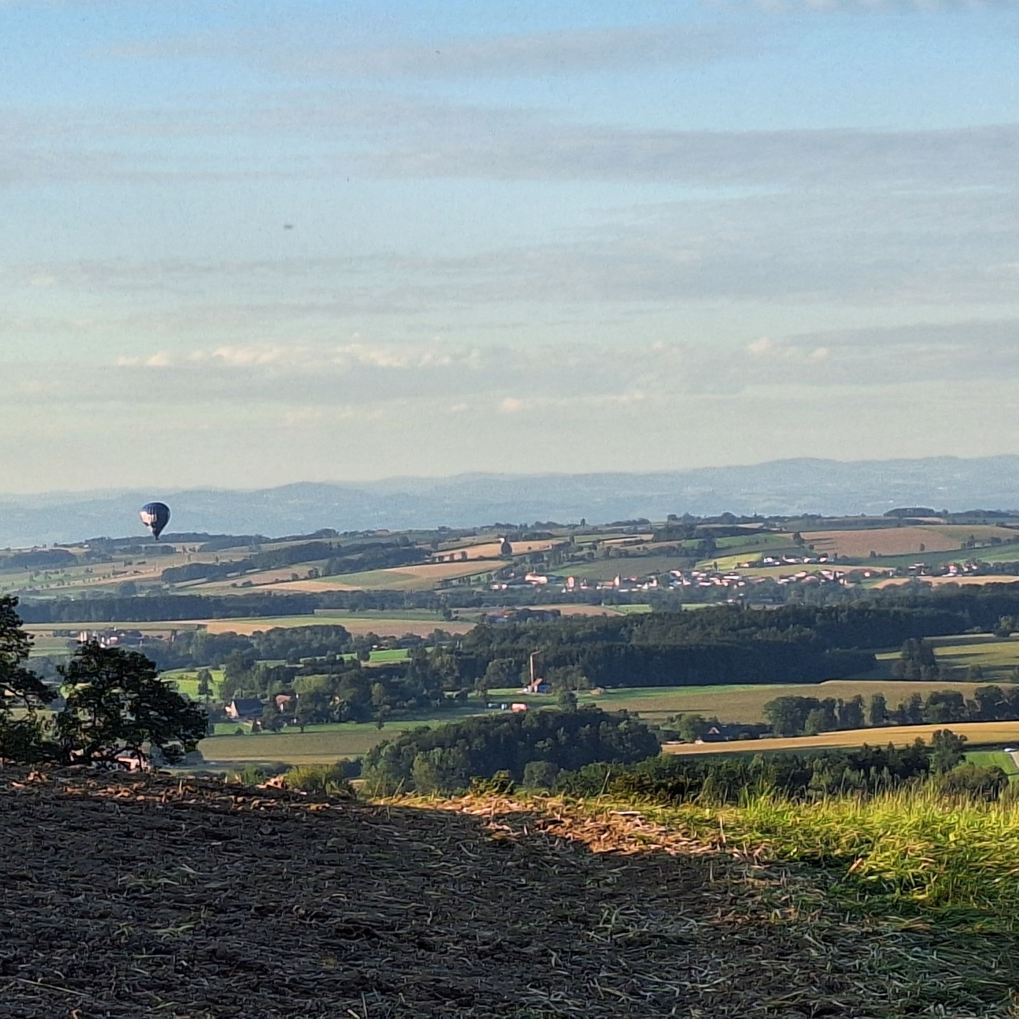
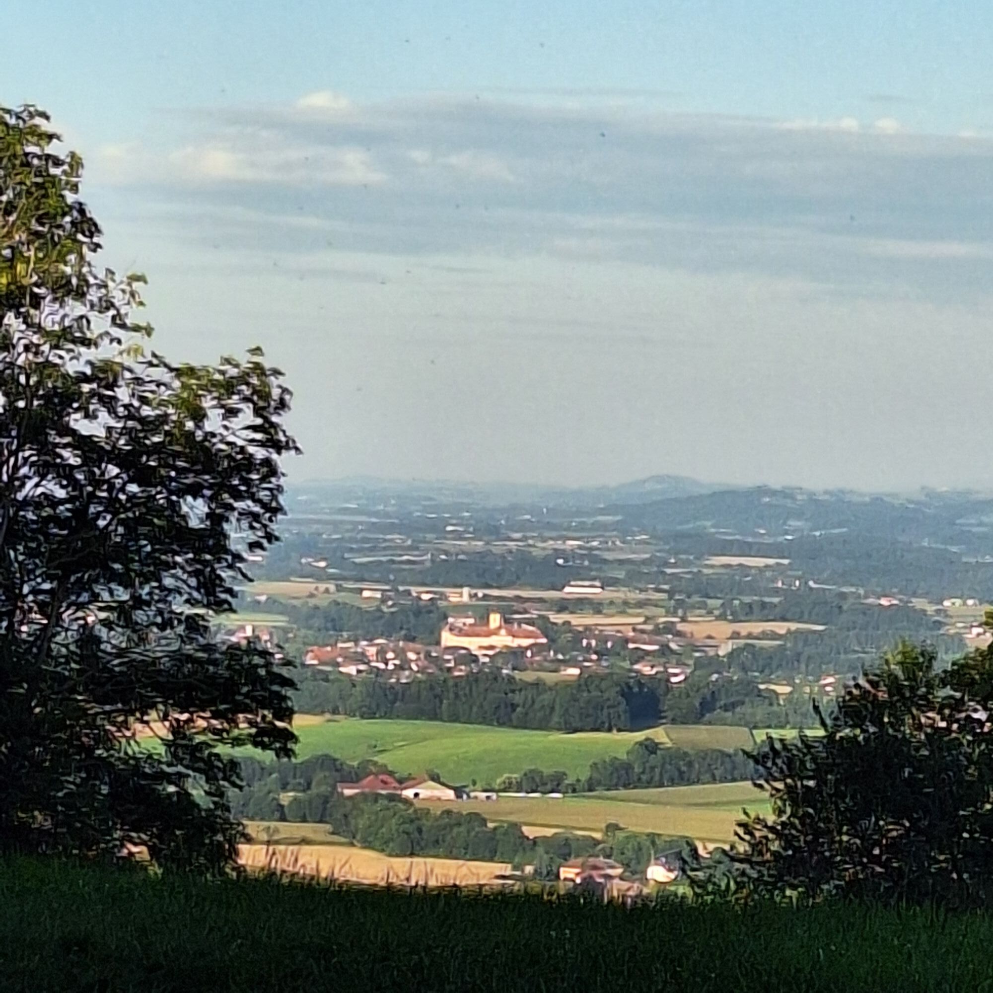
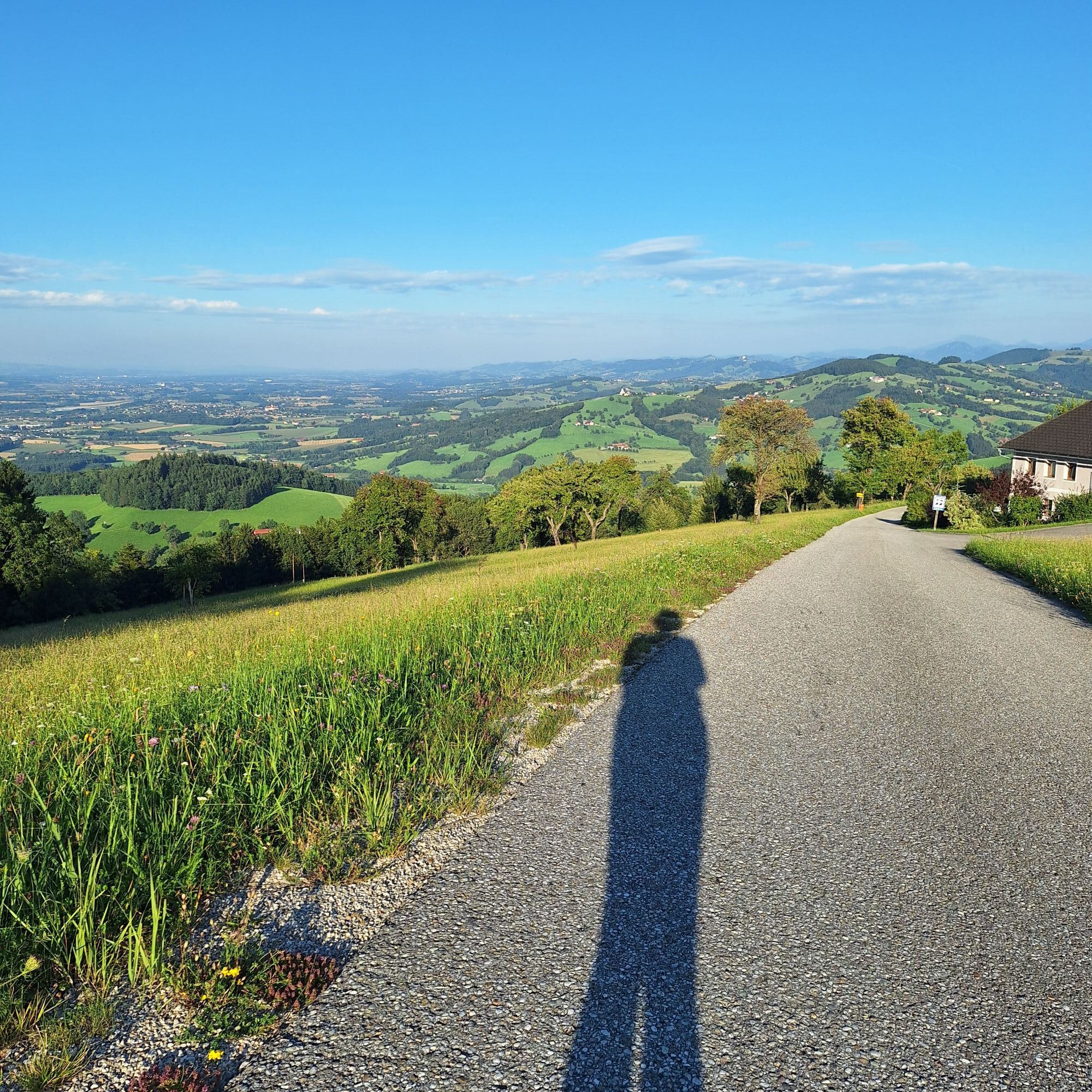
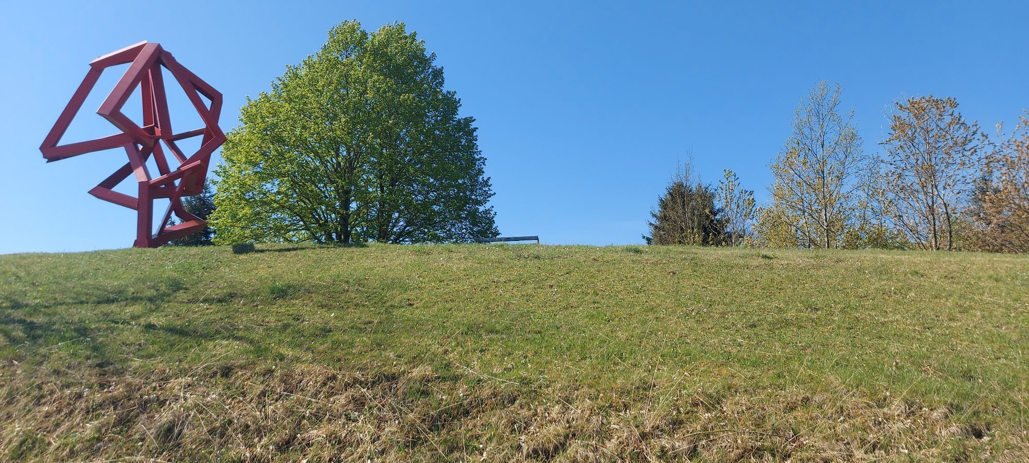
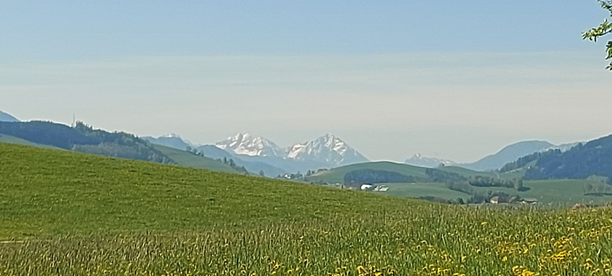
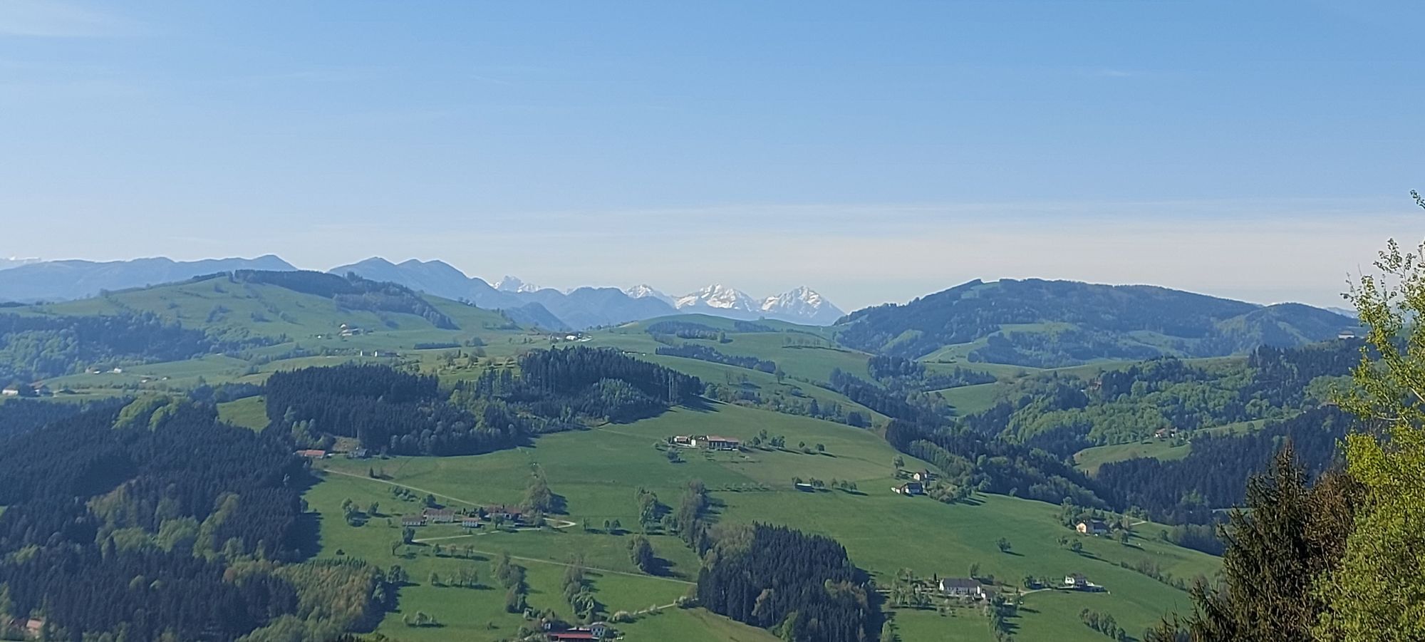
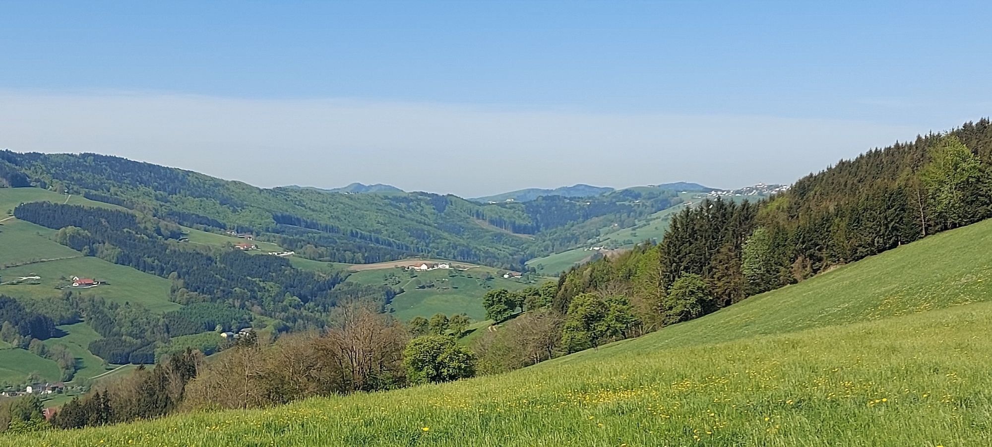
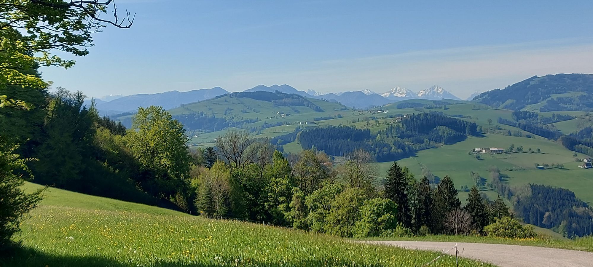
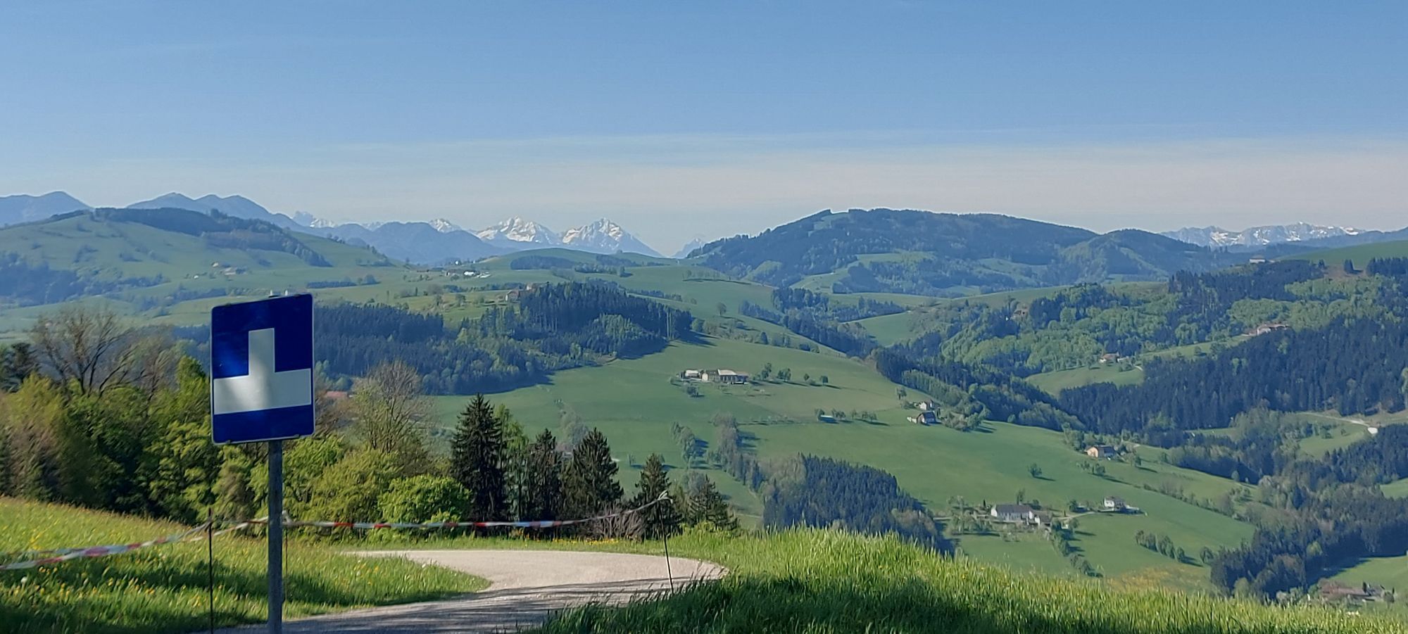
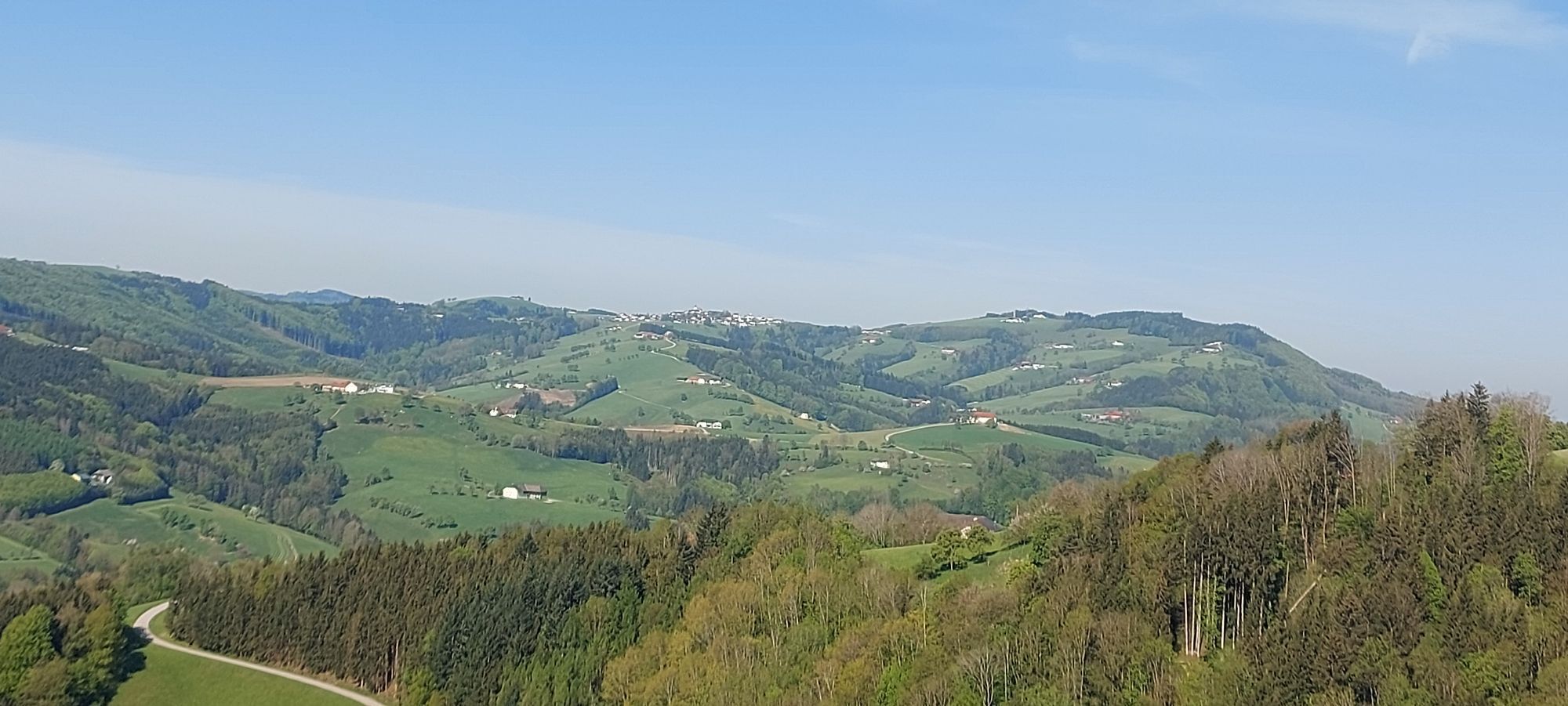
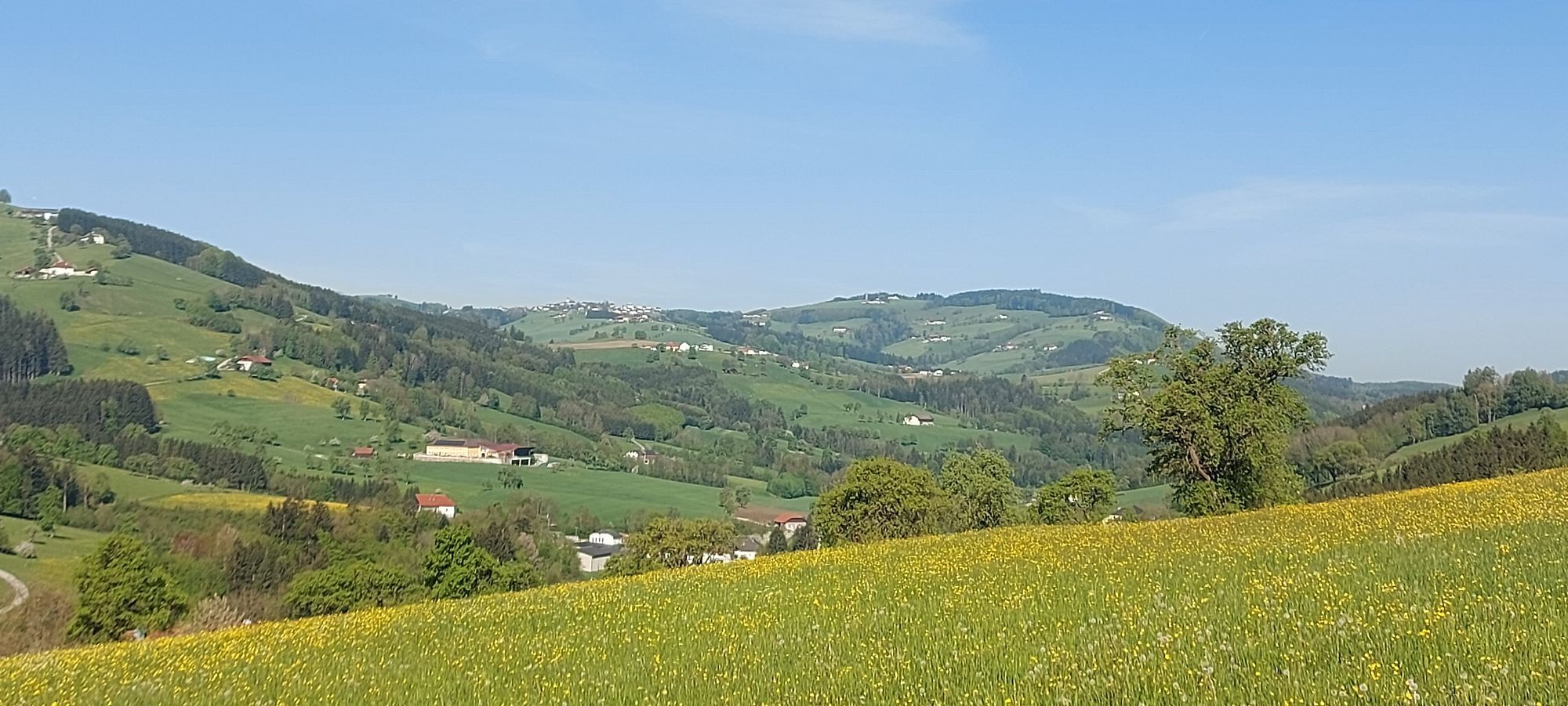
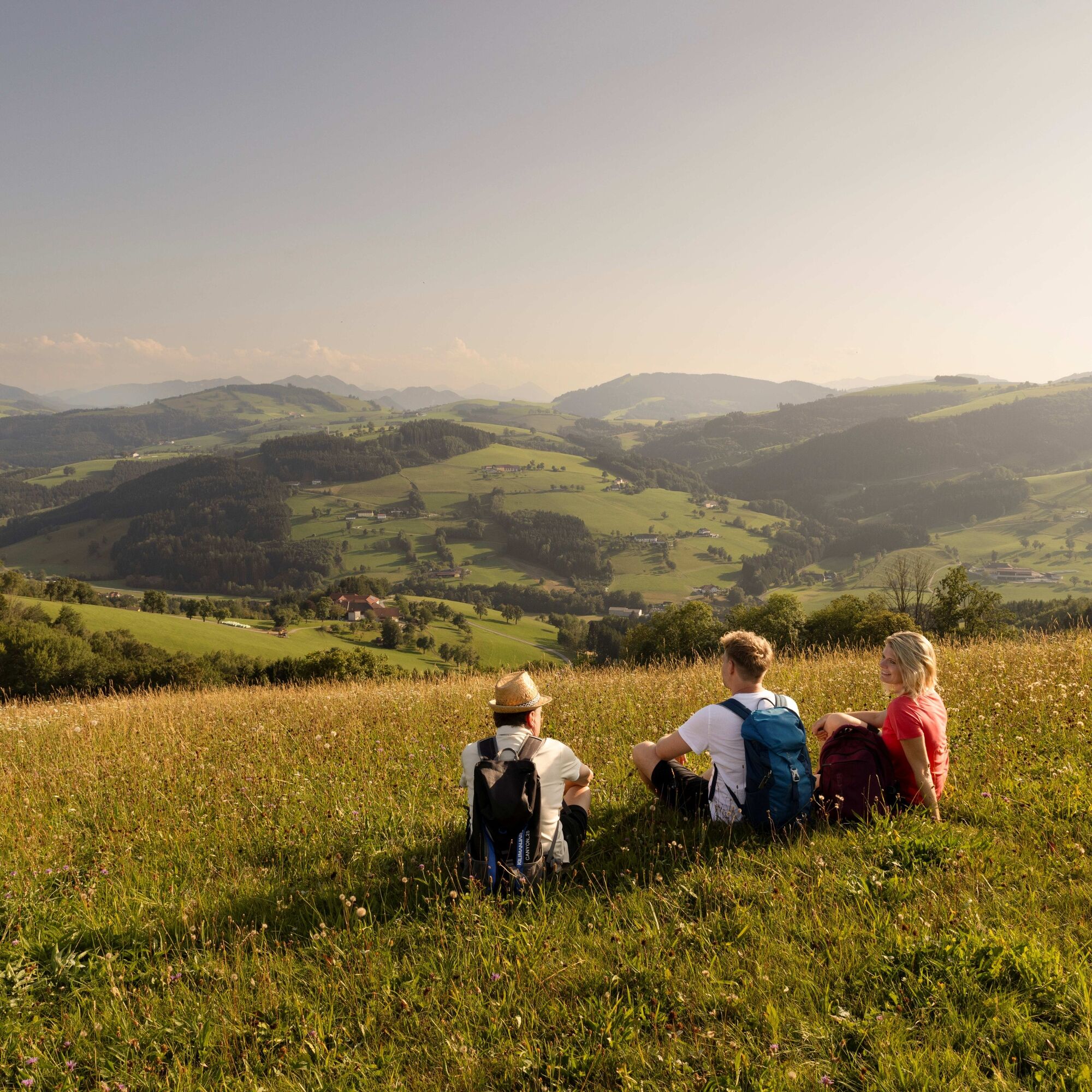
The “Heart of the Mostviertel Circular Hiking Trail” leads in eight stages and over 110 kilometers between rustic orchard meadows past impressive four-sided farms. Landscape, wide views, and regional specialties provide enjoyment throughout! As a sign of appreciation towards the Most pear and its history, you learn interesting facts about this region. Personal destinies, regional celebrities, and hidden natural beauties also meet you along the way — partly in the form of informative stations. From the Ötscher over the Gesäuse to the Dead Mountain range — wide panoramas can be enjoyed on numerous sections, especially at warmly designed viewpoints and rest areas. The Heart Pears accompany you as distinctive symbols on the signage and in the unmistakable furniture. A sparkling sip of Most, a hearty snack at the Most tavern, or an extensive stop at one of the inns nourish body and mind on the way. And after the successful day stage, during the friendly get-together in the heart of the Mostviertel, the wise toast of the Most soon sounds: “Cheers! This is living!”
Information about the Heart of the Mostviertel Circular Hiking Trail and the eight hiking stages: www.herzmostviertel.at/rundwanderweg
Stage 1: Aschbach-Markt to Seitenstetten Stage 2: Seitenstetten to Biberbach Stage 3: Biberbach to St. Michael am Bruckbach Stage 4: St. Michael am Bruckbach to Ertl Stage 5: Ertl to Kürnberg Stage 6: Kürnberg to St. Peter in der Au Stage 7: St. Peter in der Au via Weistrach and St. Johann in Engstetten to Wolfsbach Stage 8: Wolfsbach to Aschbach-Markt


The entire circular hiking trail starts and ends at Aschbach-Markt train station and is therefore easily accessible by public transport. For orientation along the route, please refer to the descriptions of the eight individual stages – more information at www.herzmostviertel.at/rundwanderweg!
The start and end point of the entire circular hiking trail is the train station Aschbach-Markt. The starting points of the eight individual stages are also easily accessible by public transport. Please note the information field "Public Transport"!
Comfortable (ARRIVAL/DEPARTURE)
Use the environmentally friendly and comfortable arrival and departure by train, bus, or VOR Flex call-collect taxi.
Regional providers will also gladly bring you to the starting point.
Public transport: anachb.vor.at
or via app "VOR AnachB Route Planner" or "VOR Flex App"
Tel. 0800 22 23 24 (train)
Tel. 0800 22 25 22 (bus)
Tel. 0800 22 23 22 (call-collect taxi to selected locations, Mon to Sat from 05:30 to 20:00)
Taxi Raab Eva
www.taxi-raab.at
Tel. 0676 3398410
Bus company Fellner
www.fellnerreisen.at
Tel. 07476 77212
Tel. 0664 2823532
Parking is available at the train station and in the town center of Aschbach-Markt. Parking is also available at all start and end points of the path stages. Detailed information can be found at the individual path stages at www.herzmostviertel.at/rundwanderweg!
T1
Heart of the Mostviertel Circular Hiking Trail: A joint project of the 7 municipalities of the small region "Heart of the Mostviertel" (Aschbach-Markt, Biberbach, Ertl, Seitenstetten, St. Peter in der Au, Weistrach, and Wolfsbach)
More information about the circular route and ordering the free hiking map can be found at:
www.herzmostviertel.at/rundwanderweg
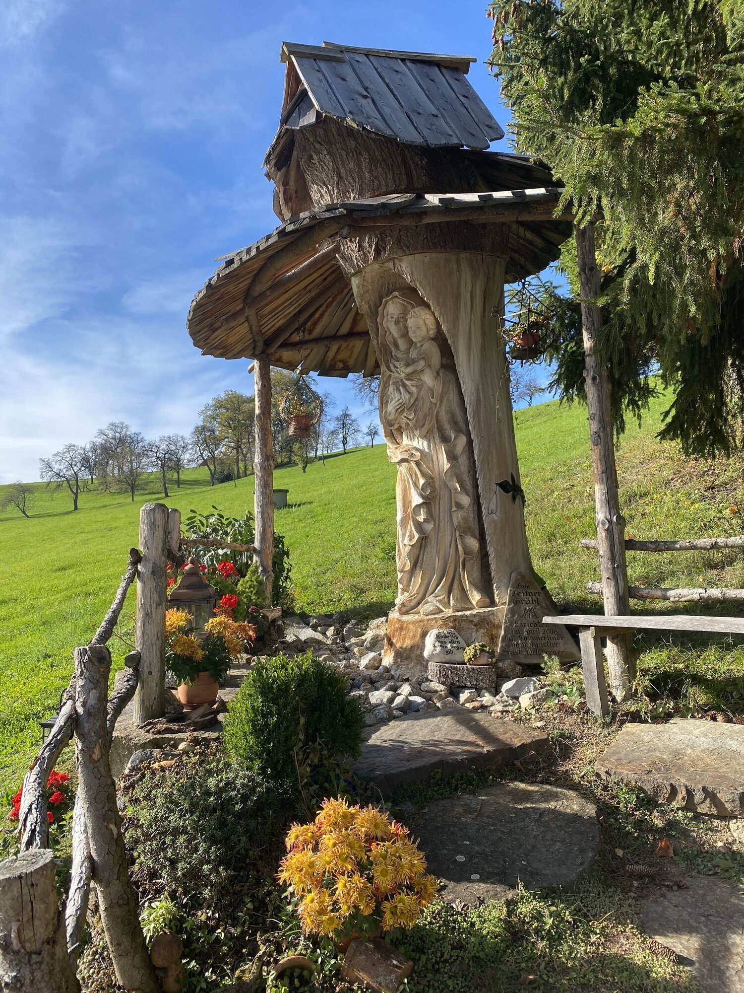
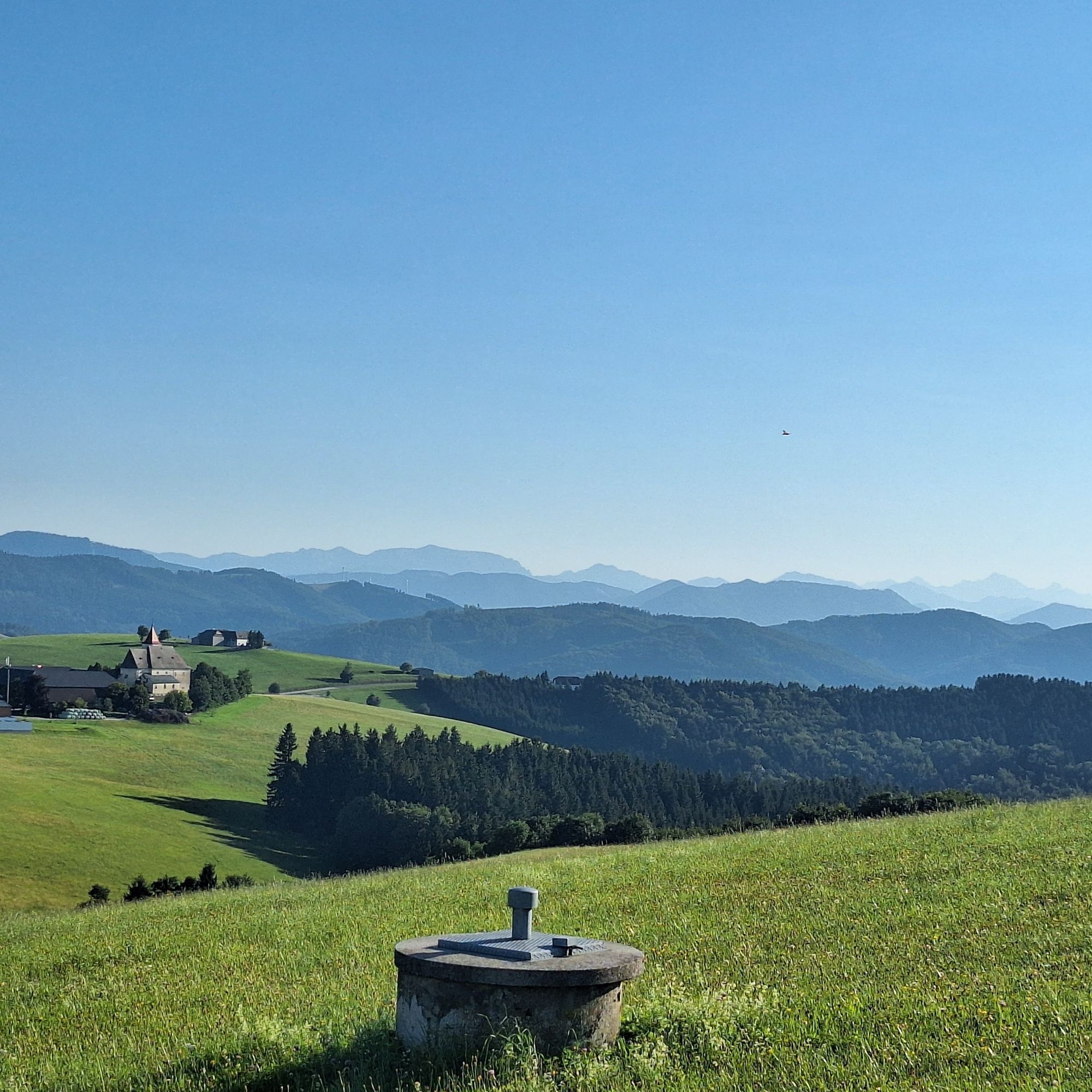
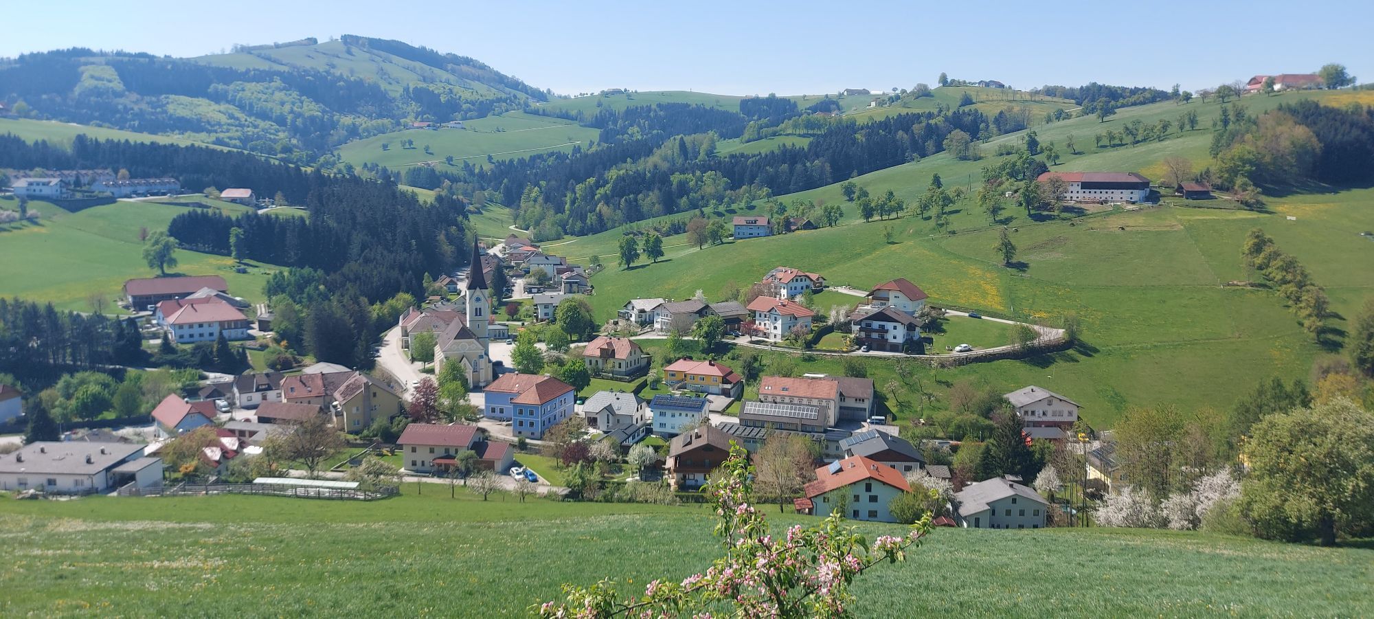
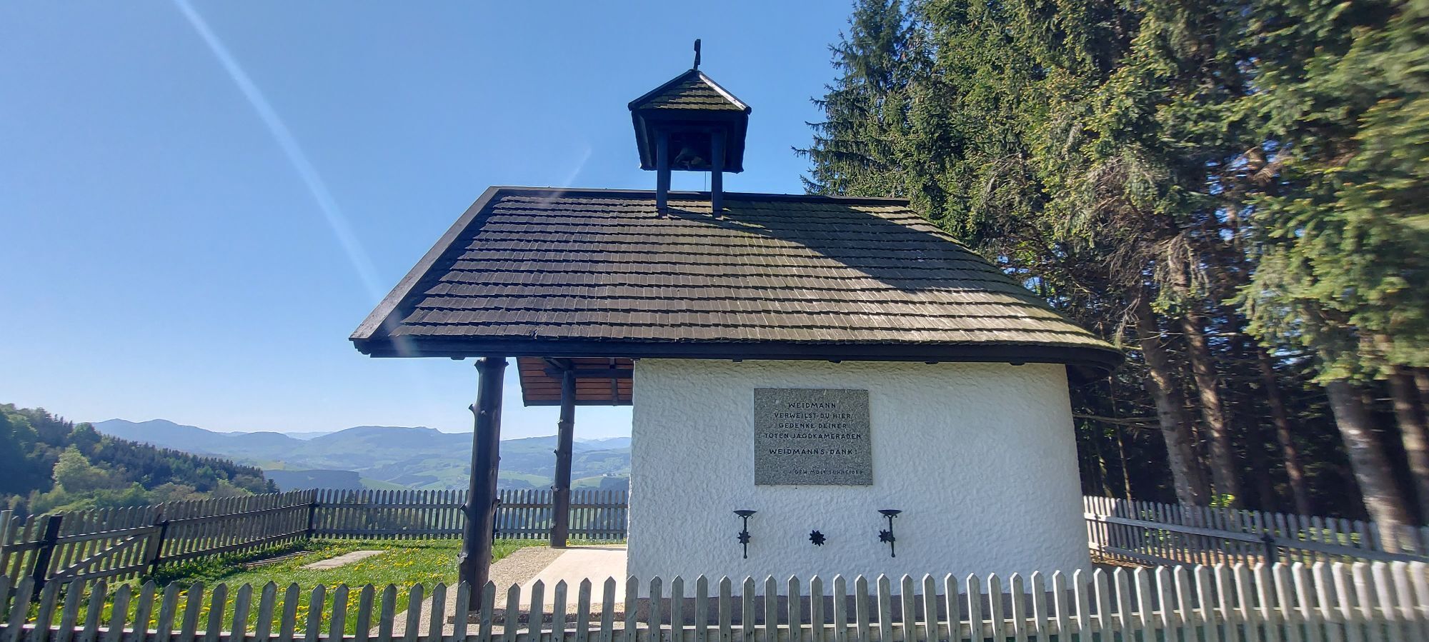
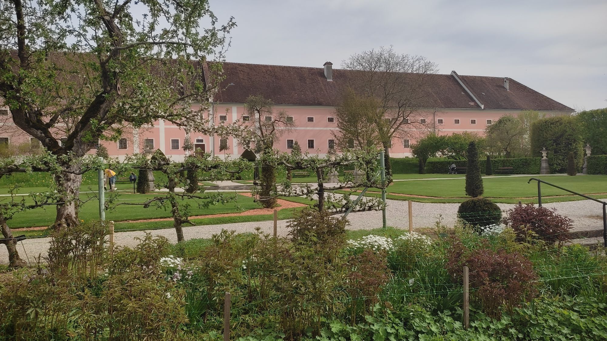
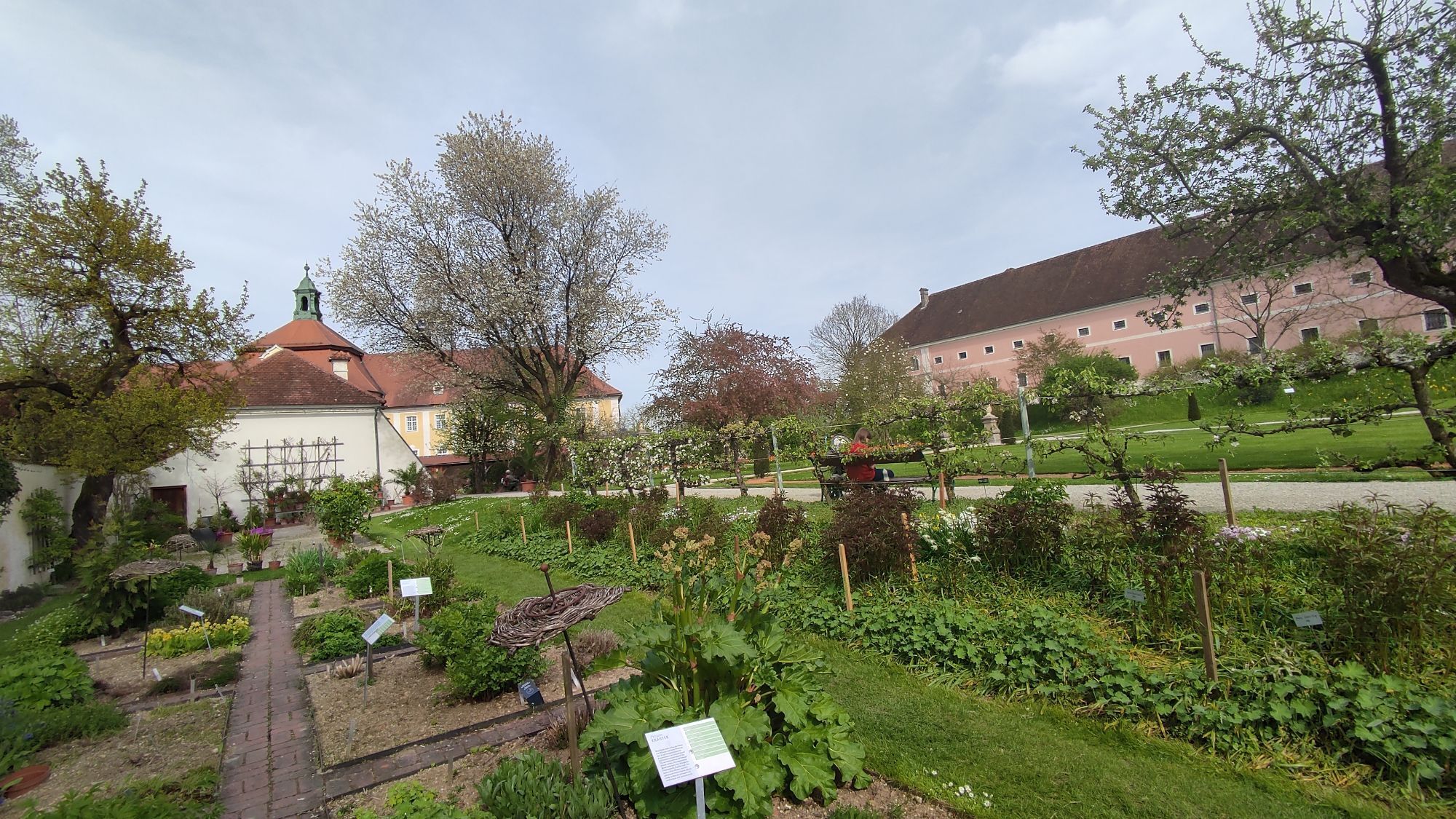
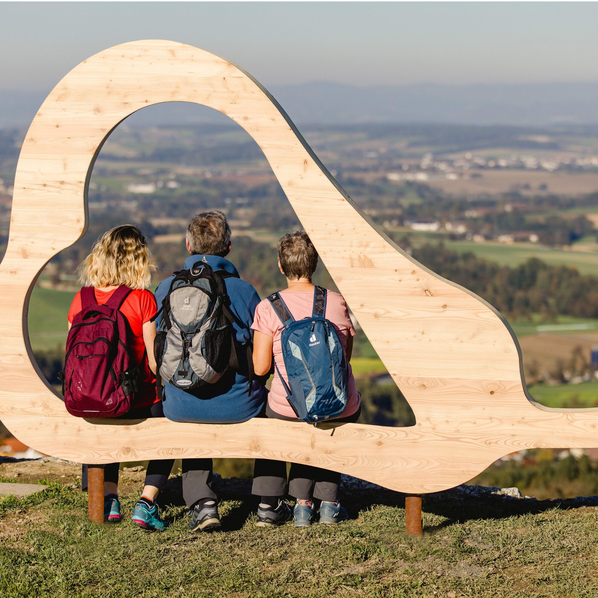
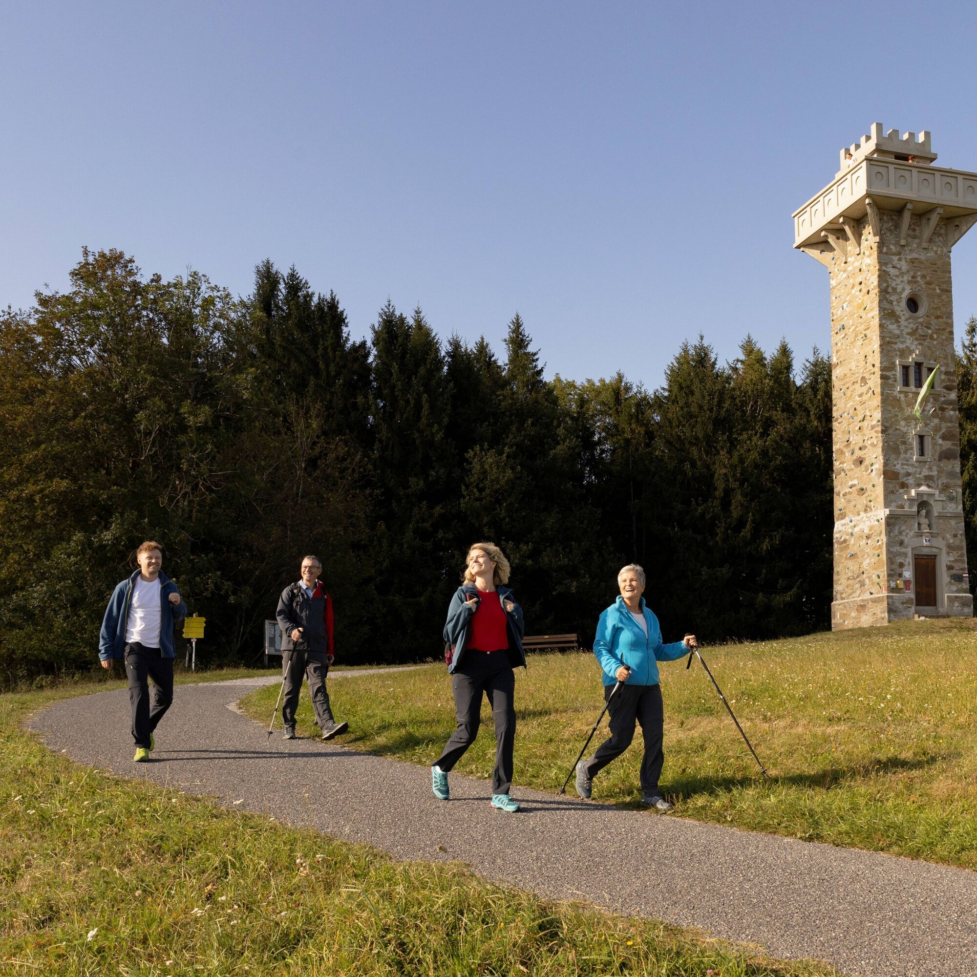
At the starting points of the individual stage hikes, information boards provide a good overview of the upcoming route. Numerous stations along the path tell stories from the region centered around the Most pear. Panoramic boards bring the breathtaking panorama closer, and specially designed rest areas as well as photo points invite you to linger. The "Heart Pears" accompany you as a recurring symbol. Gastronomy and rest opportunities ensure physical well-being along the way. The "Heart of the Mostviertel" is experienceable here with all the senses!
Places to rest, overnight stays, and sights along the way can be found at: www.herzmostviertel.at/rundwanderweg
You can also order your free hiking map here!
Priljubljeni izleti v okolici
- 4,3
Freithofberg
srednjaPohodništvo 9,15 km - 4,1
Wallsee Altarmrunde
svetlobaPohodništvo 8,19 km - 4,4
Kleine Gipfelrunde Glasenberg
svetlobaPohodništvo 4,99 km - 3,8
Lindaumauer (1103 m)
Pohodništvo 3,40 km - 4,5
Lindaumauer, Maria Neustift
srednjaPohodništvo 5,53 km - 4,9
Dambergwarte
svetlobaPohodništvo 3,28 km - 4,4
Sebaldusweg stage 2 of 4 | Laussa - Maria Neustift
srednjaRomarska pot 20,9 km - 4,5
Sebaldusweg stage 3 of 4 | Maria Neustift - Gaflenz
srednjaRomarska pot 20,4 km - 4,8
L1 Lindaumauer-Trail
srednjaTrailrunning 8,31 km - 2,9
Rundweg Freithofberg E31
Pohodništvo 11,1 km

Pohodništvo in sledenje


Ne zamudite ponudb in navdiha za naslednje počitnice
Vaš e-poštni naslov je bil dodan na poštni seznam.