






L1 Lindaumauer-Trail
Stopnja težavnosti: T2
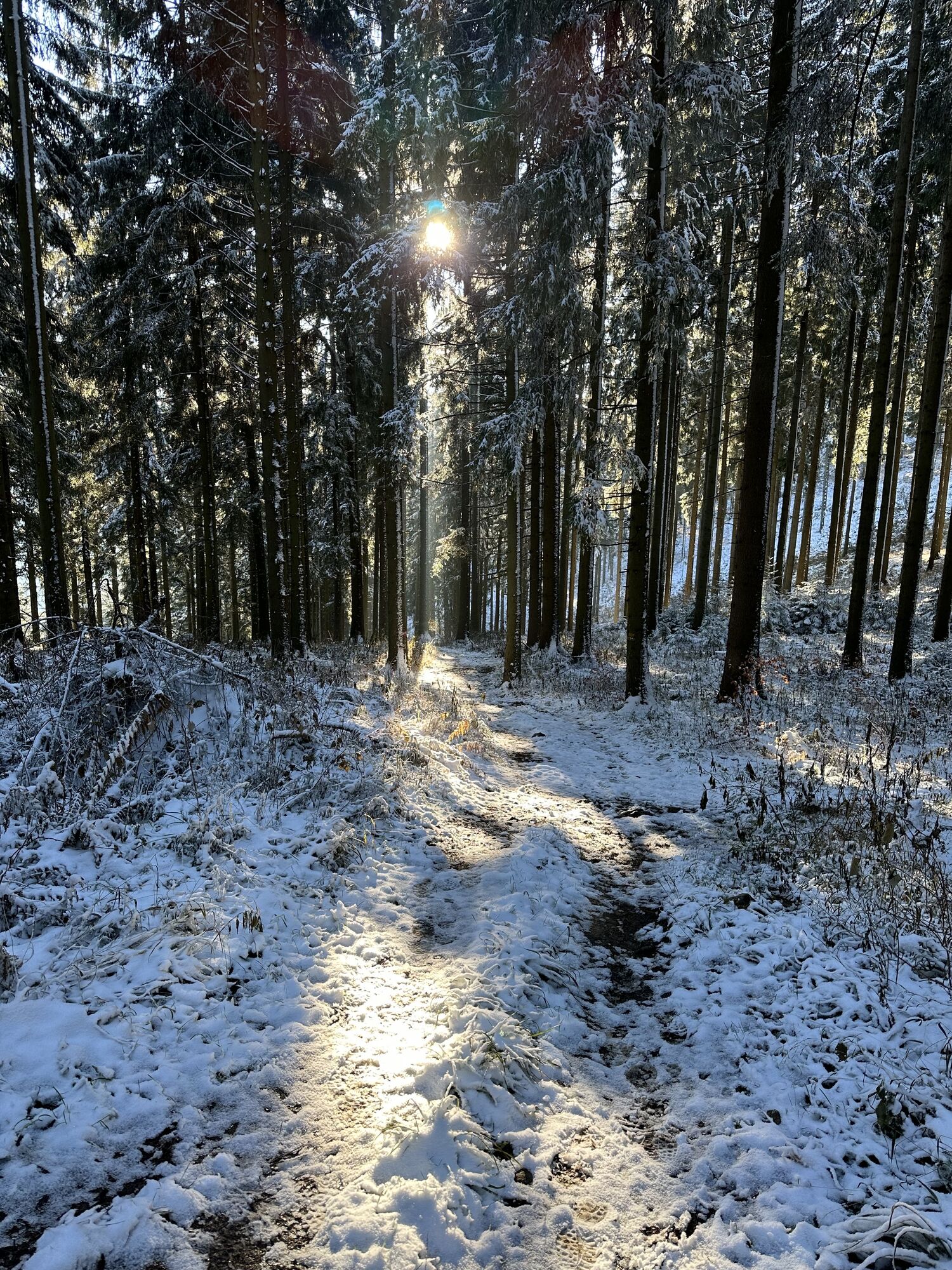
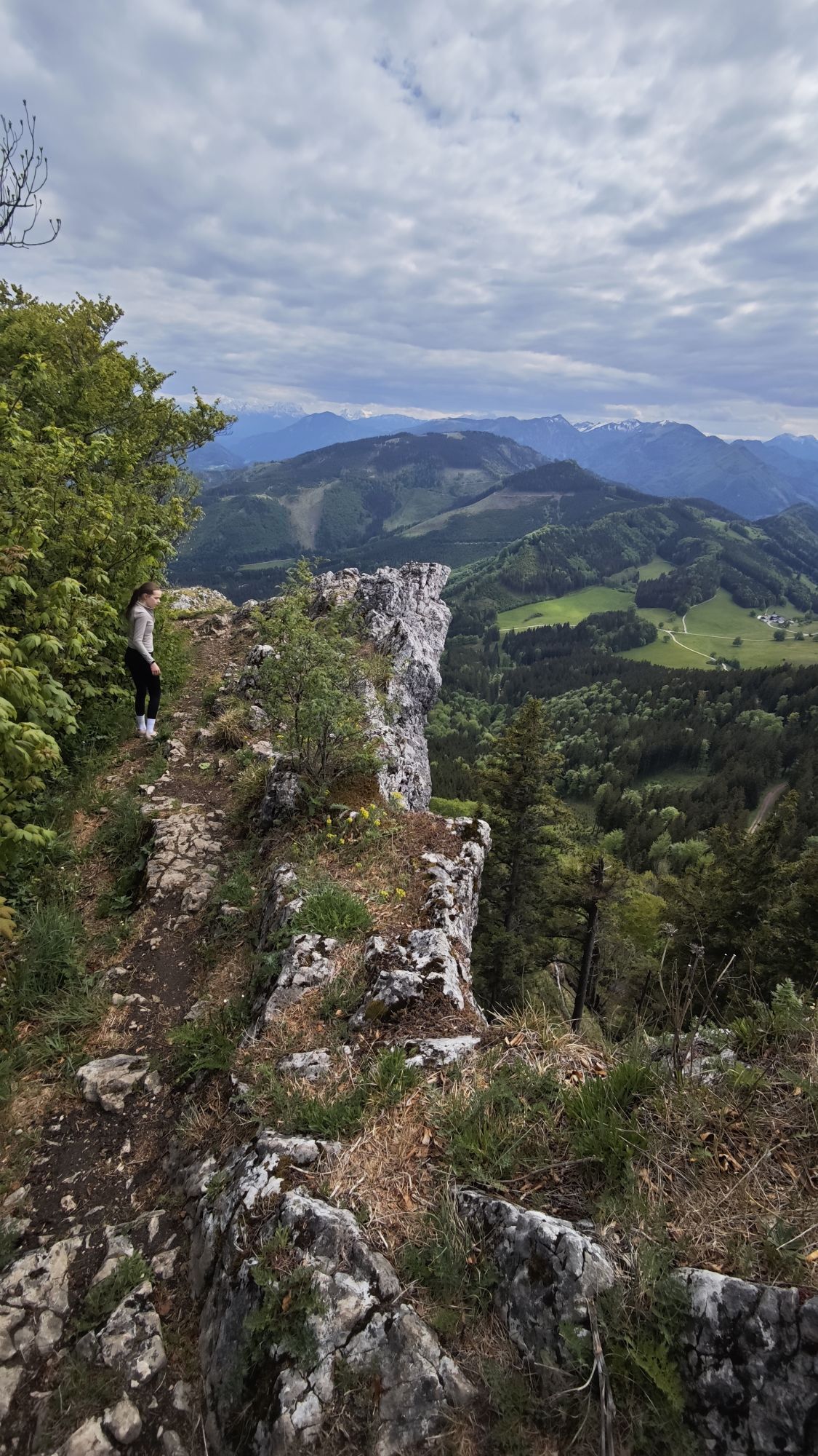
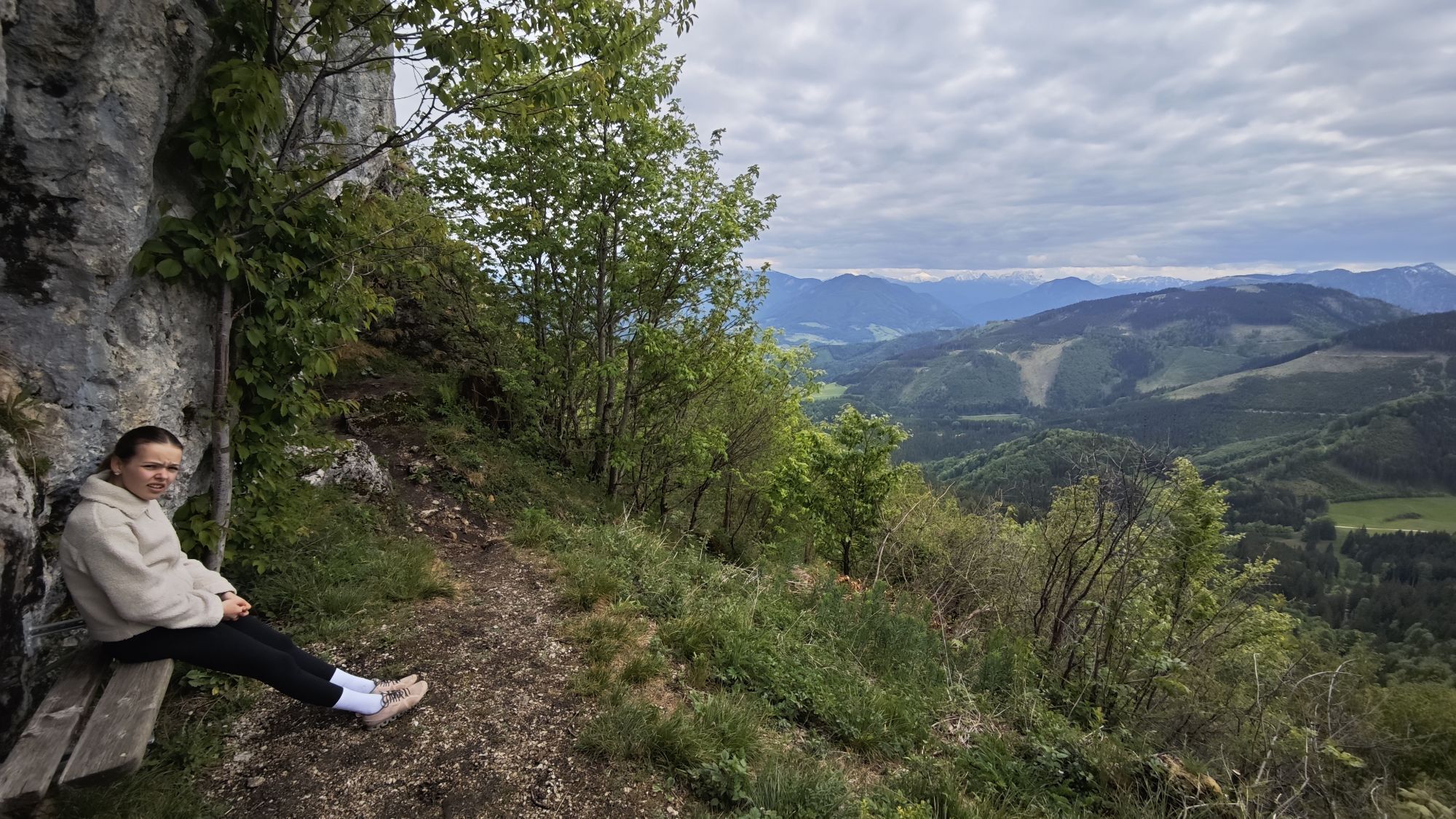
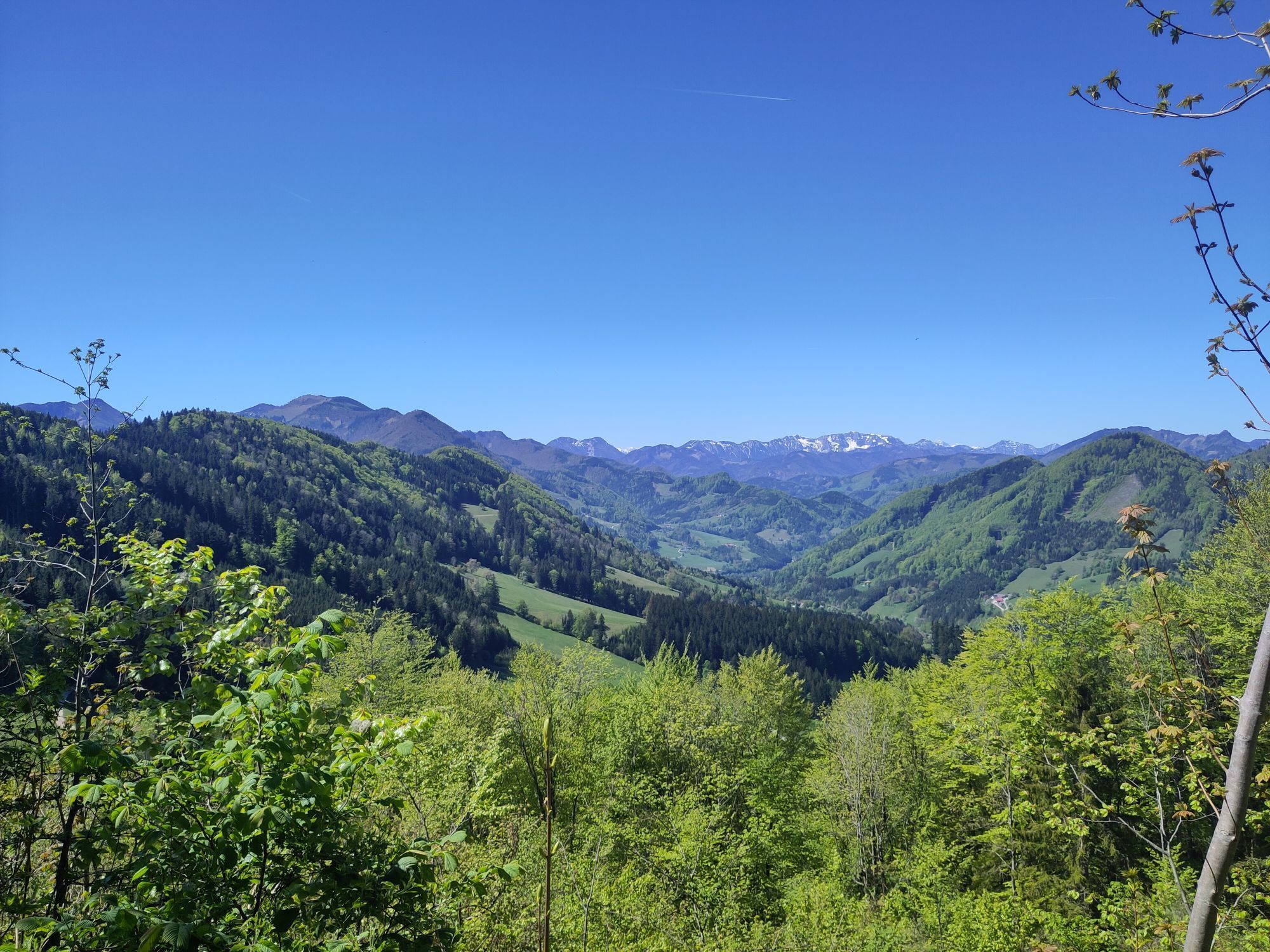
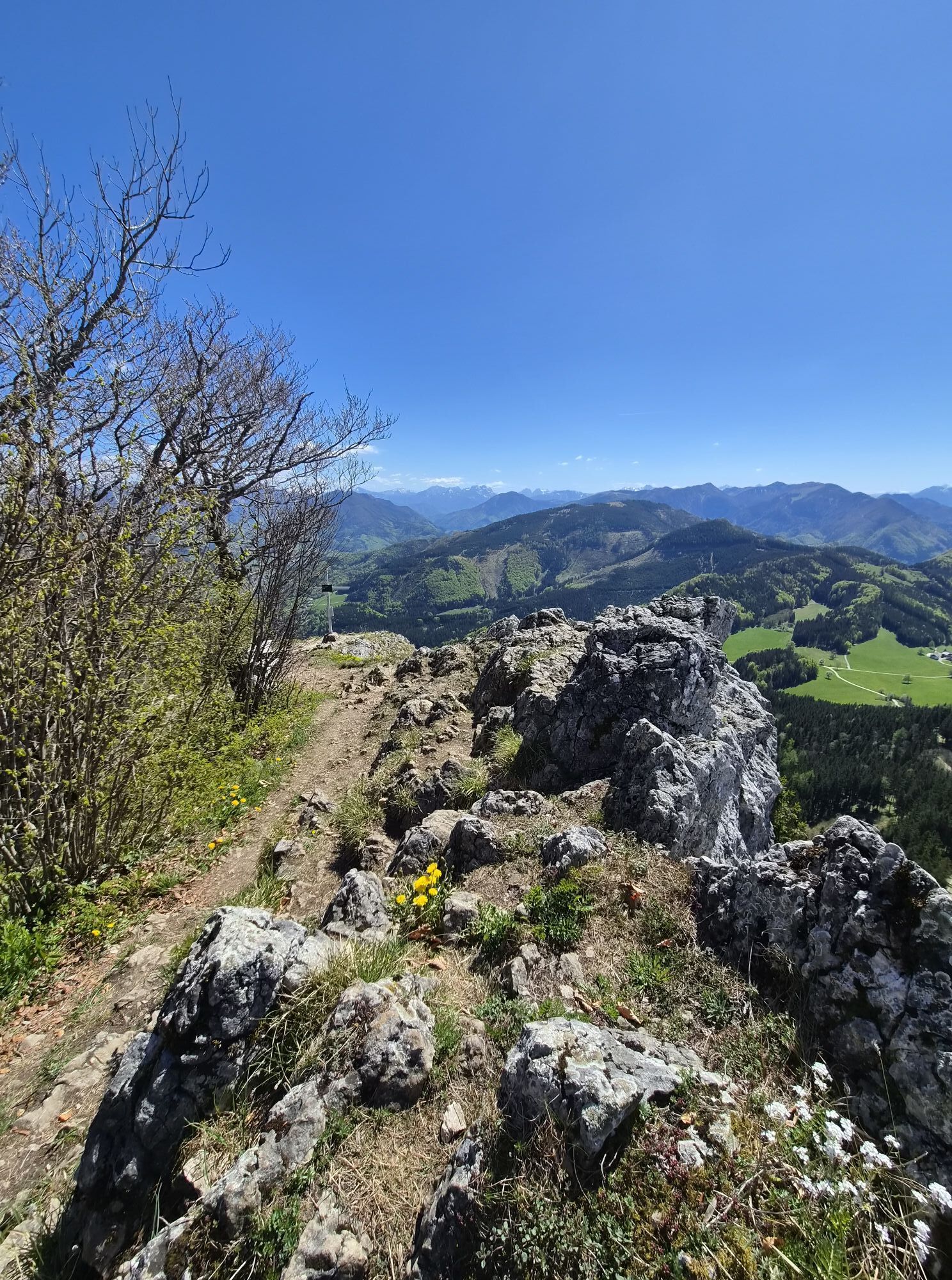
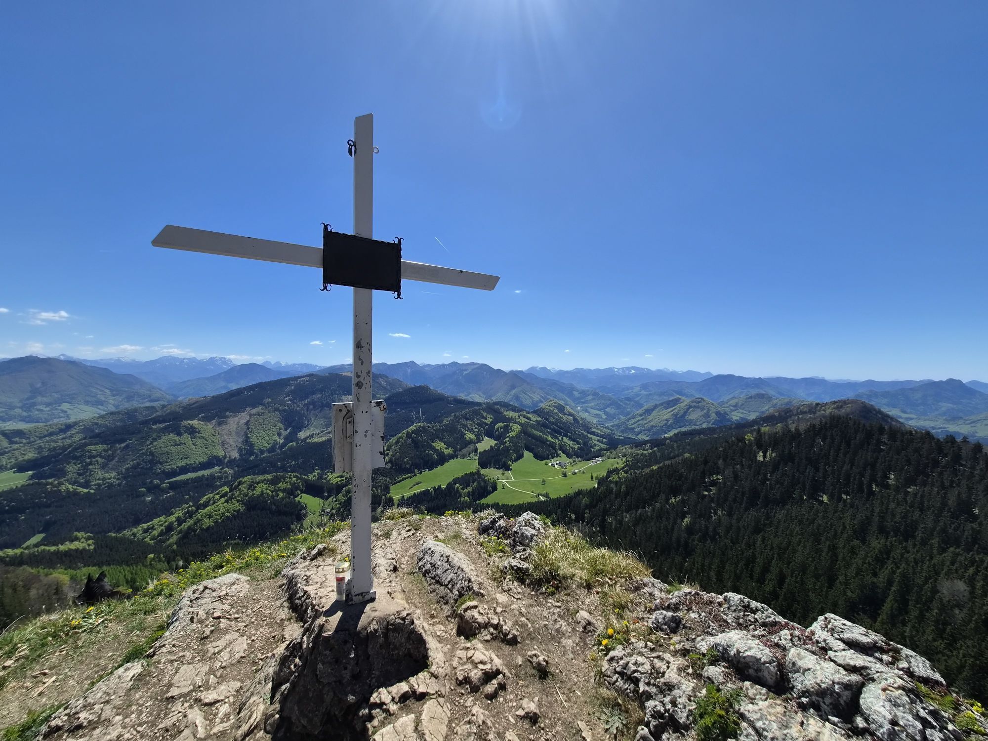
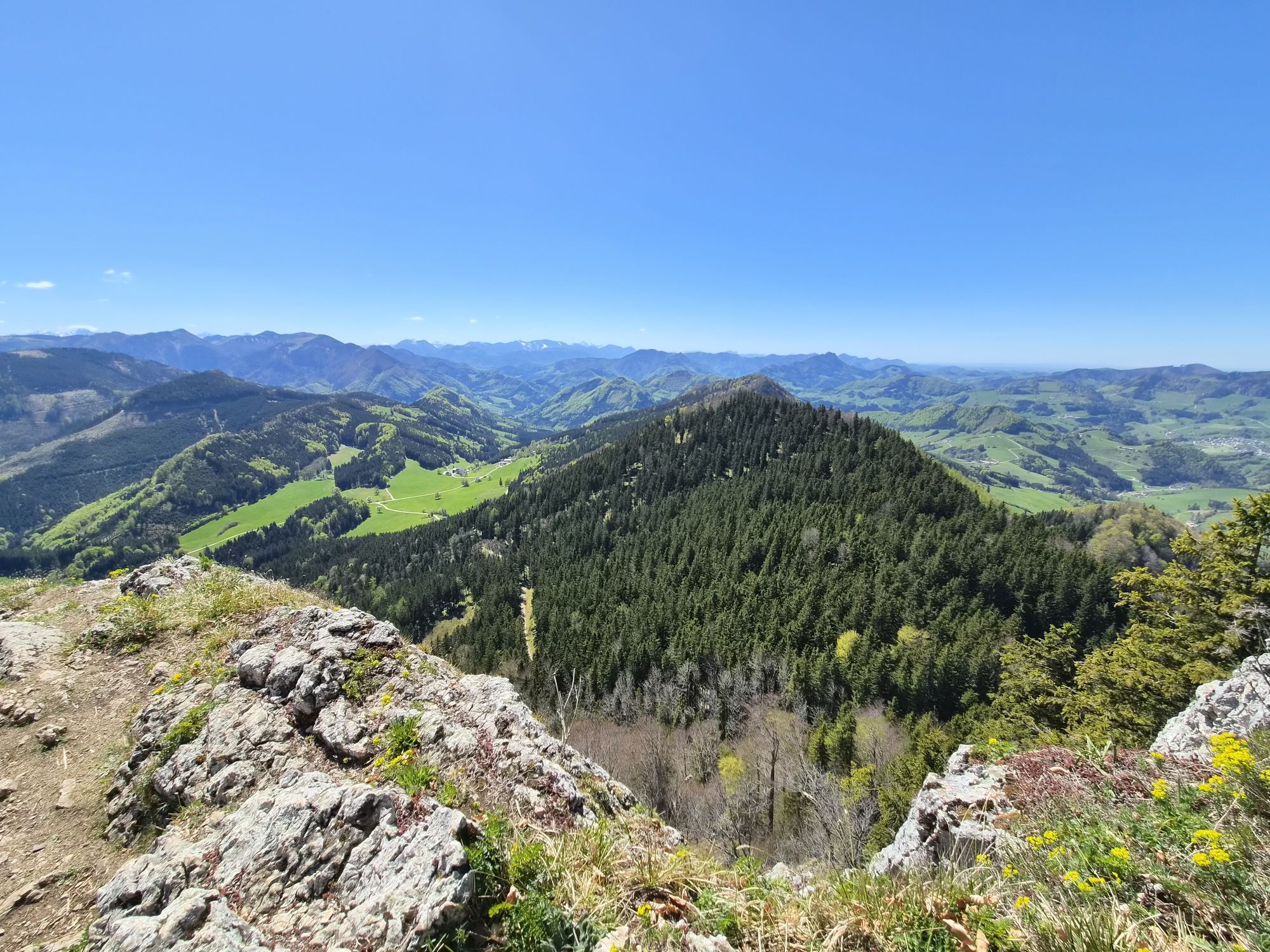
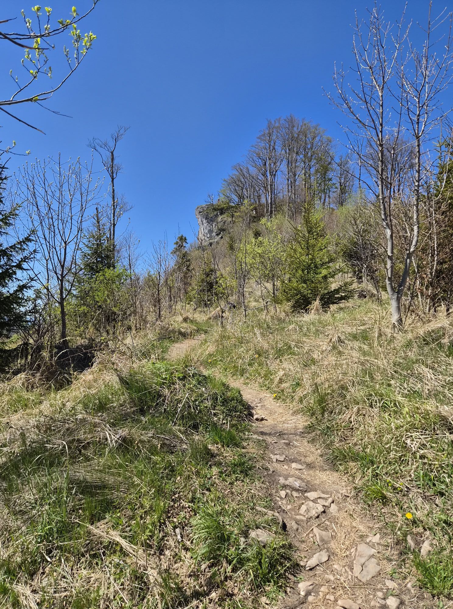
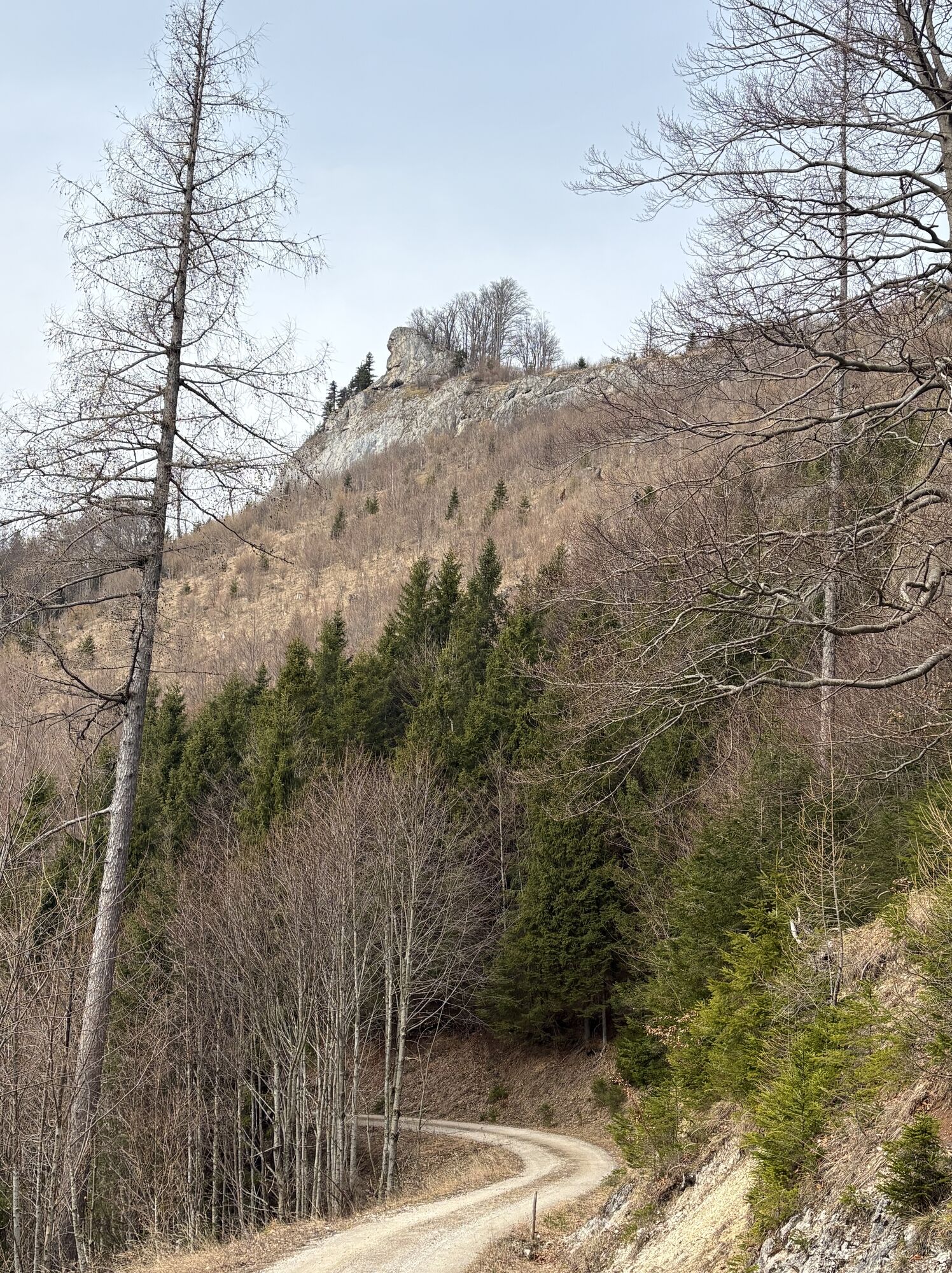
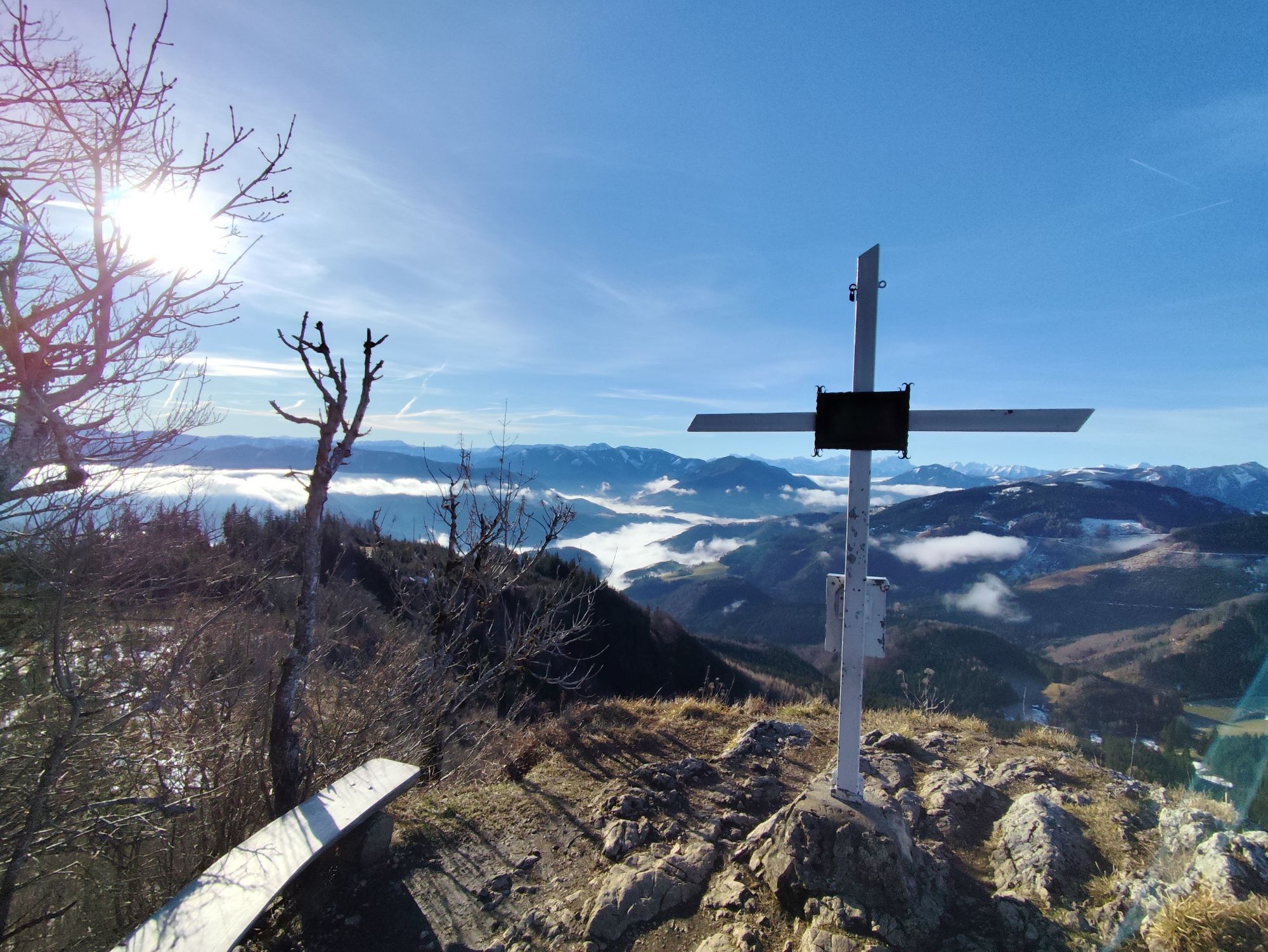


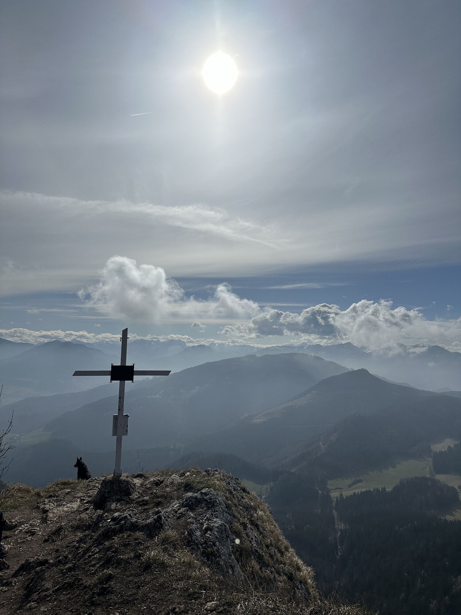

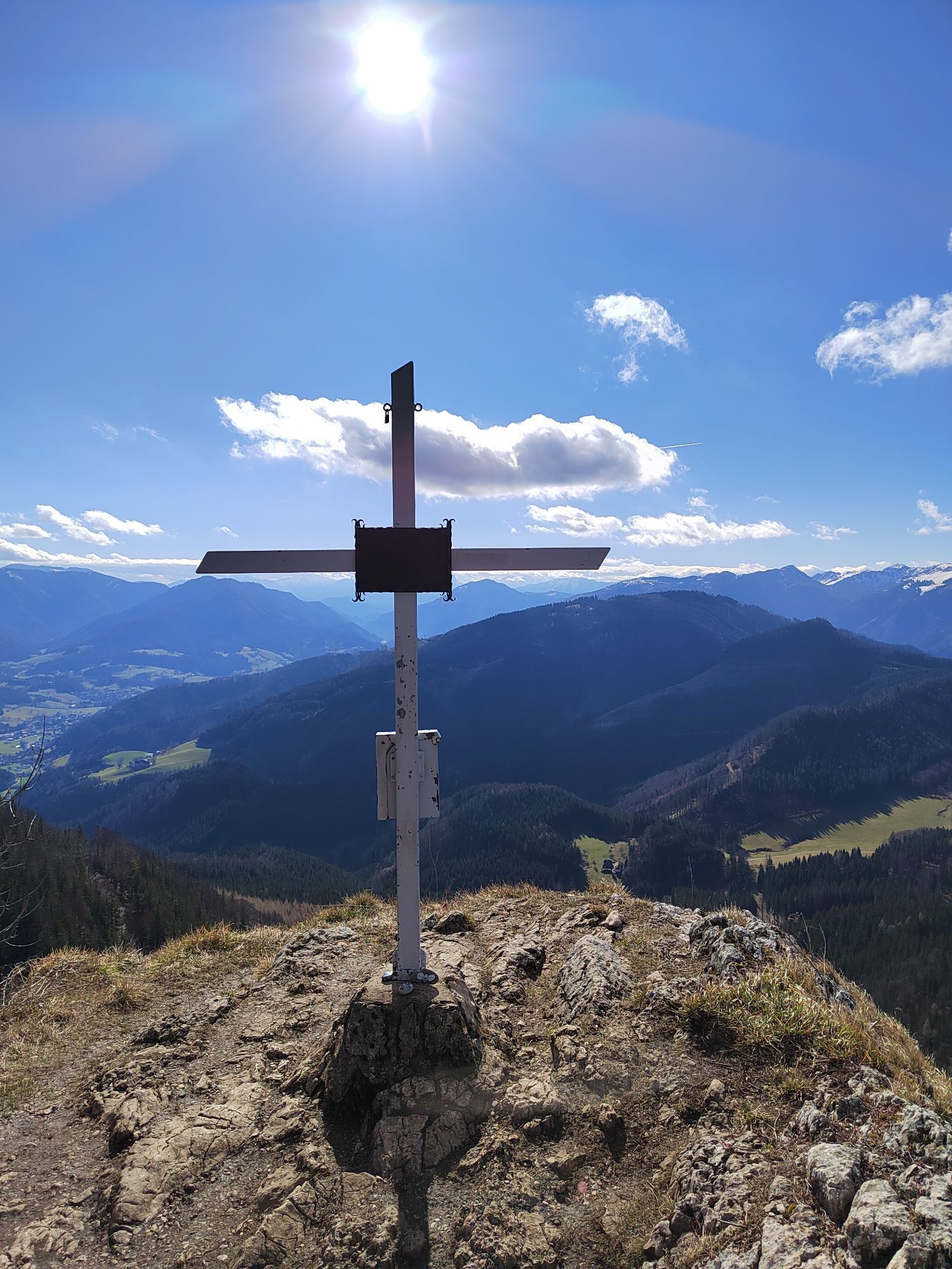
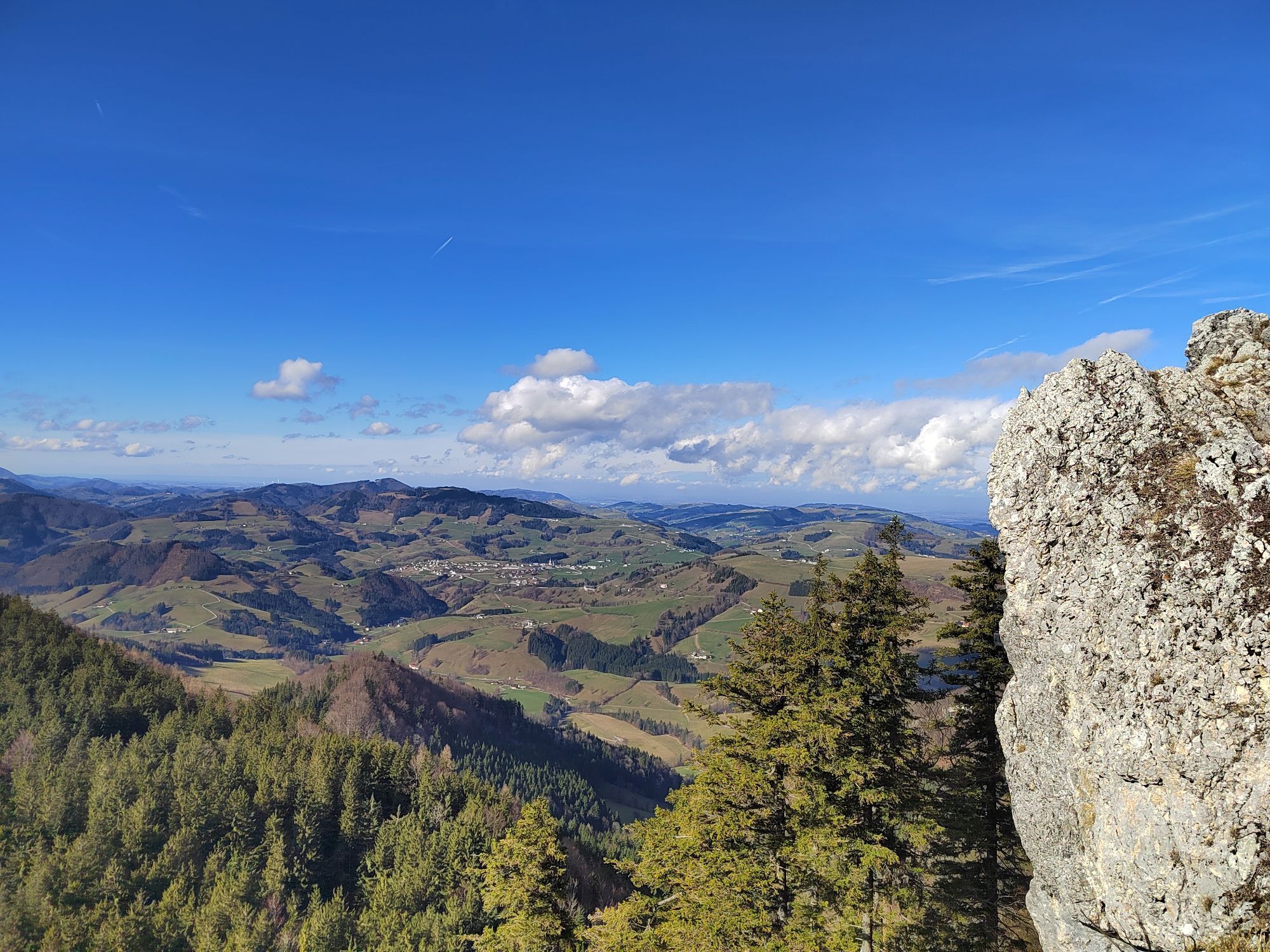
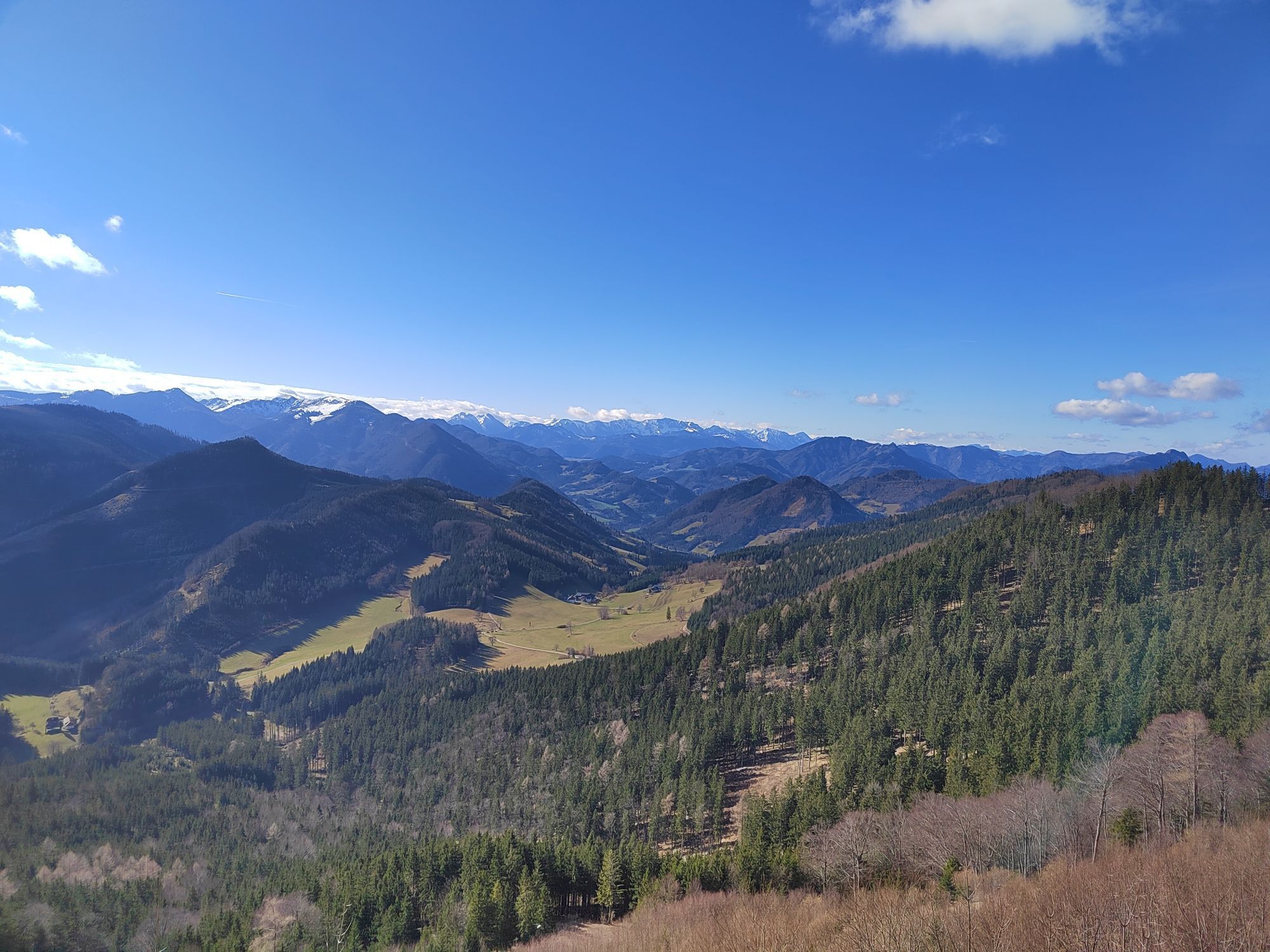


An easy round with a length of 8.3 km and 427 metres of ascent.

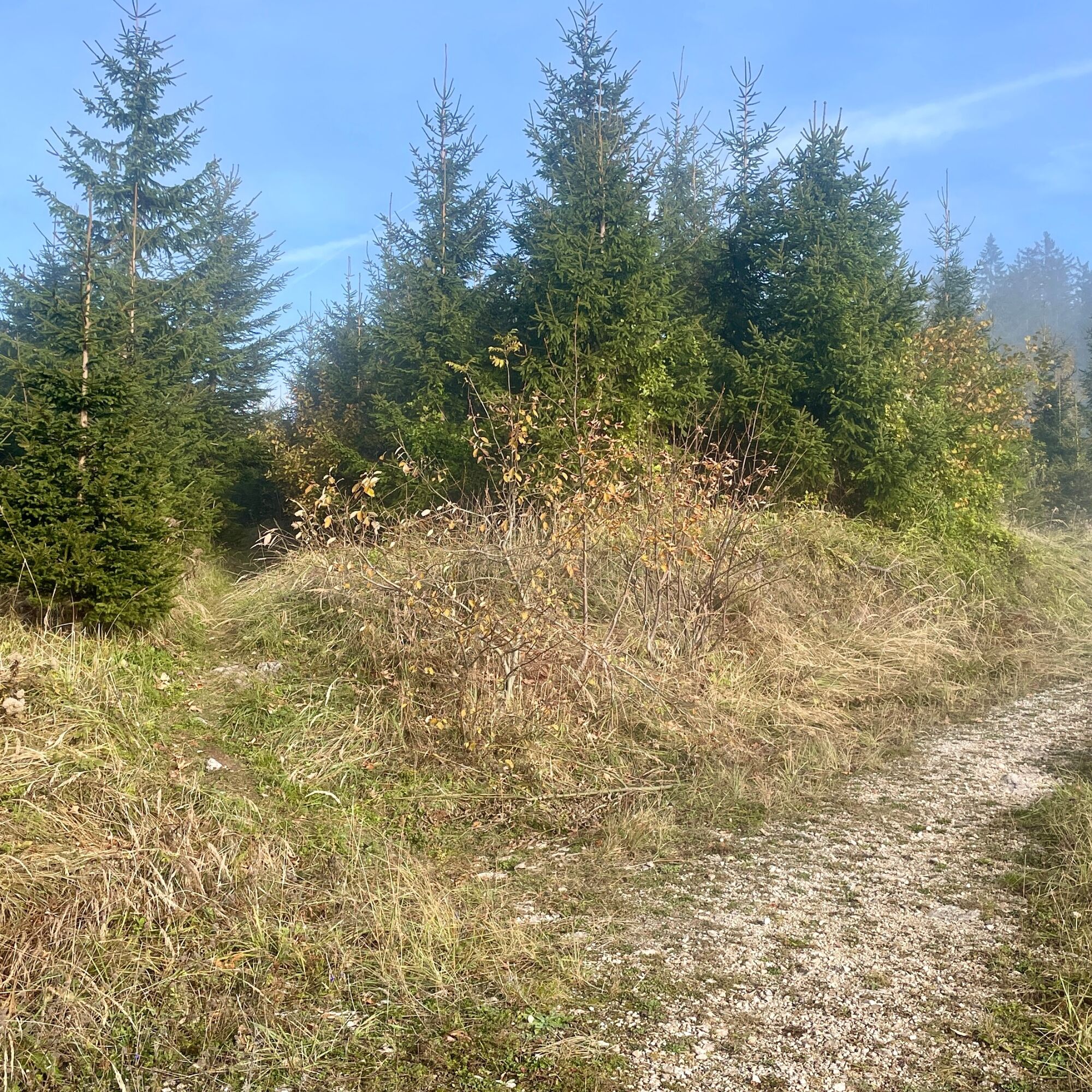
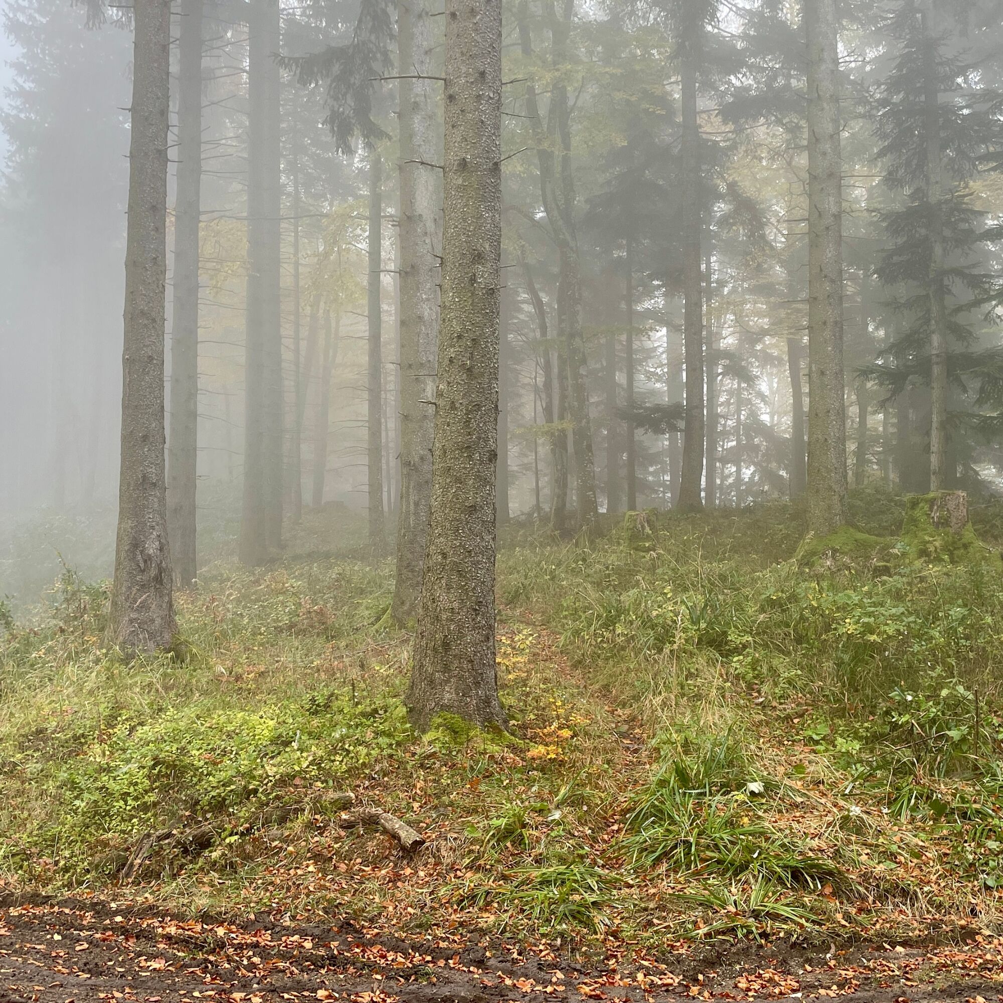
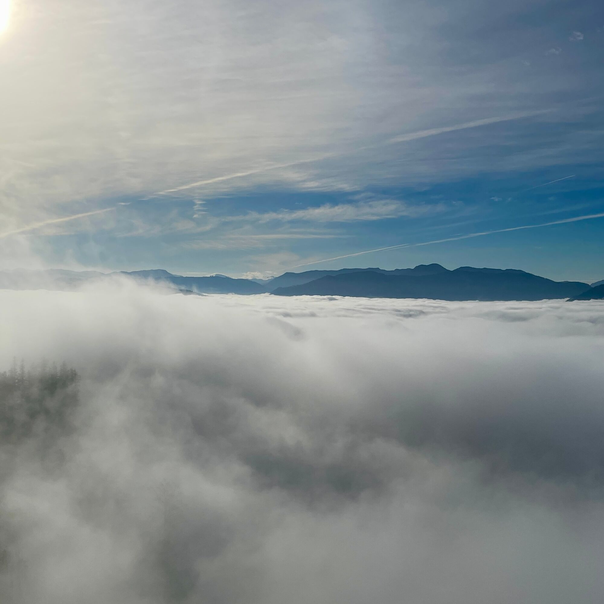
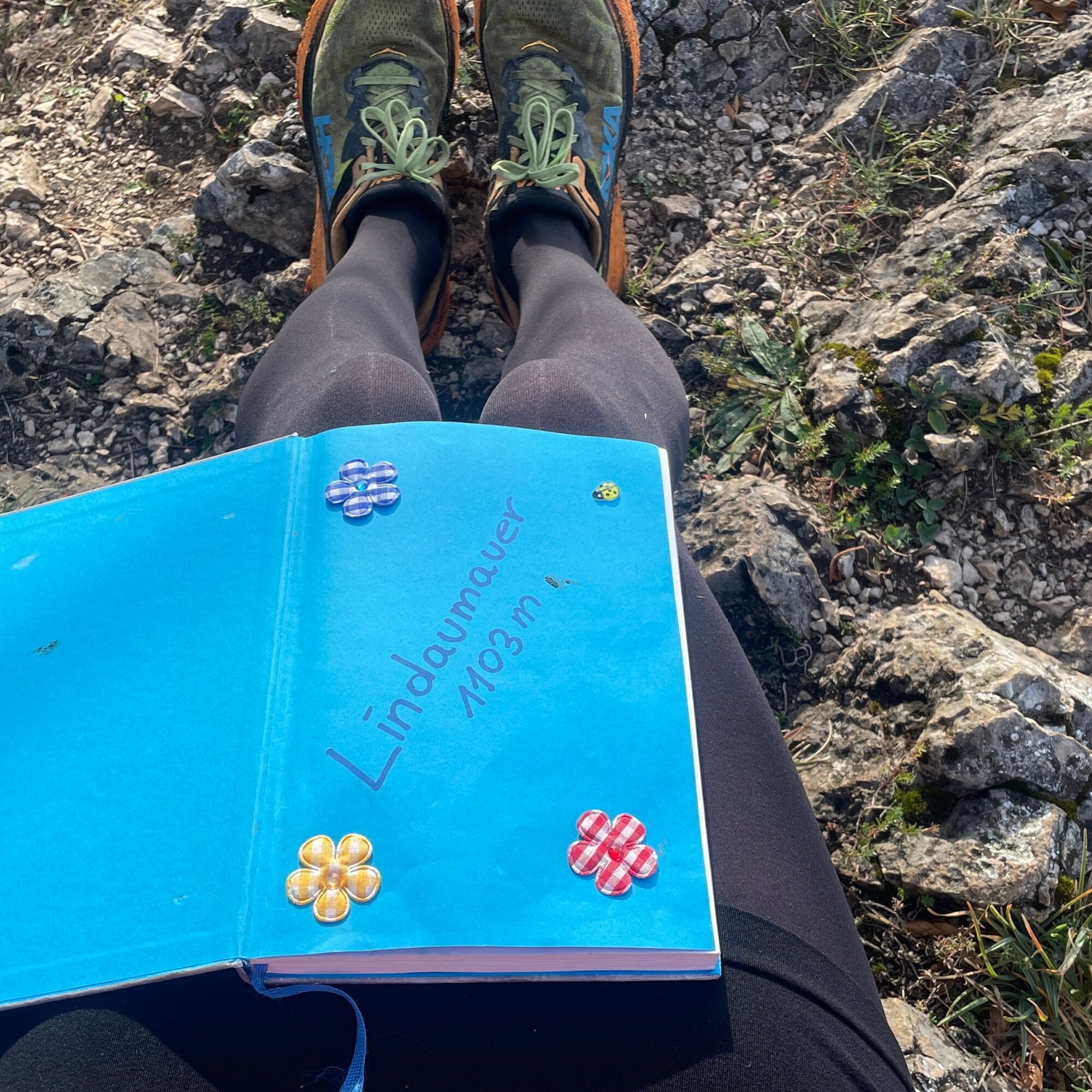
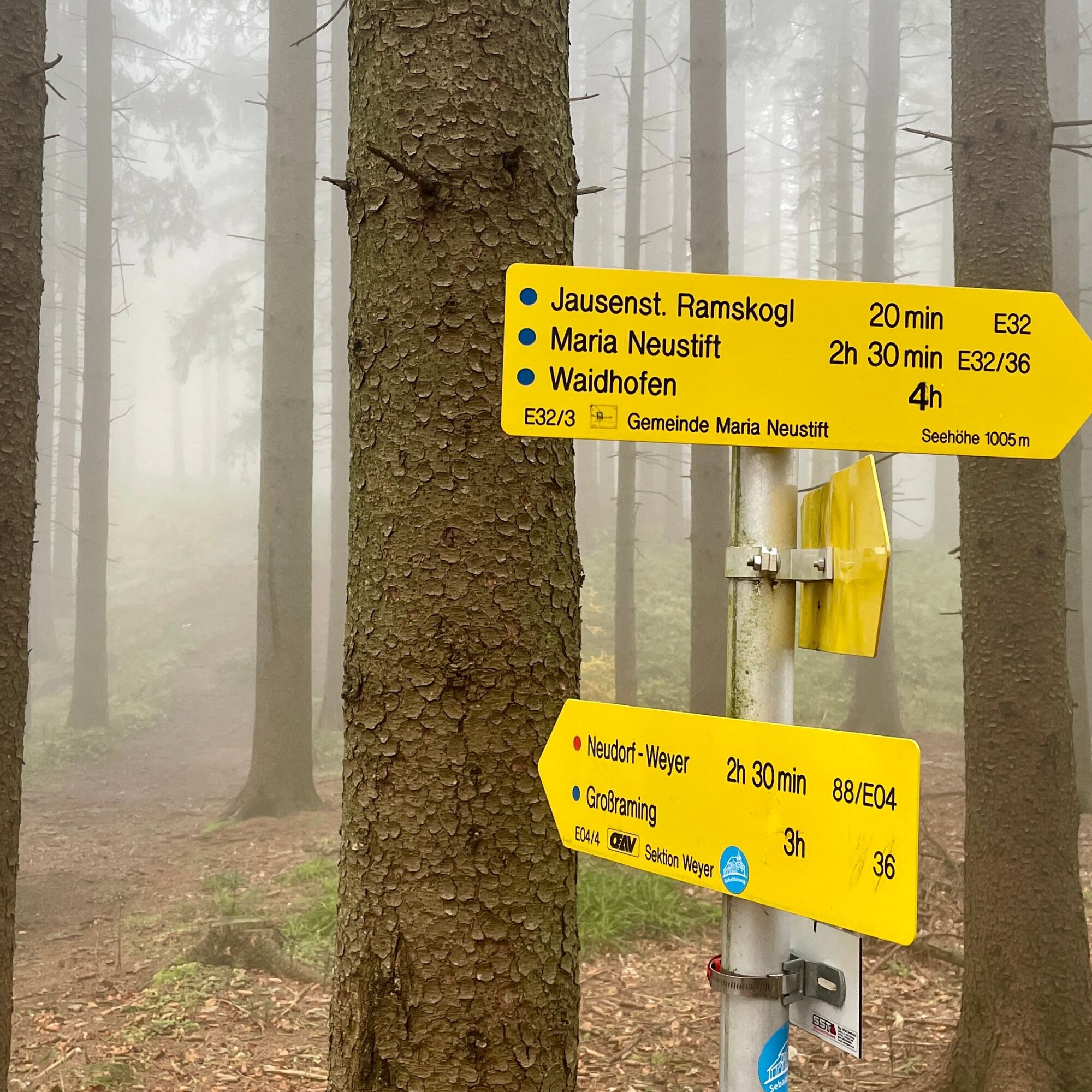
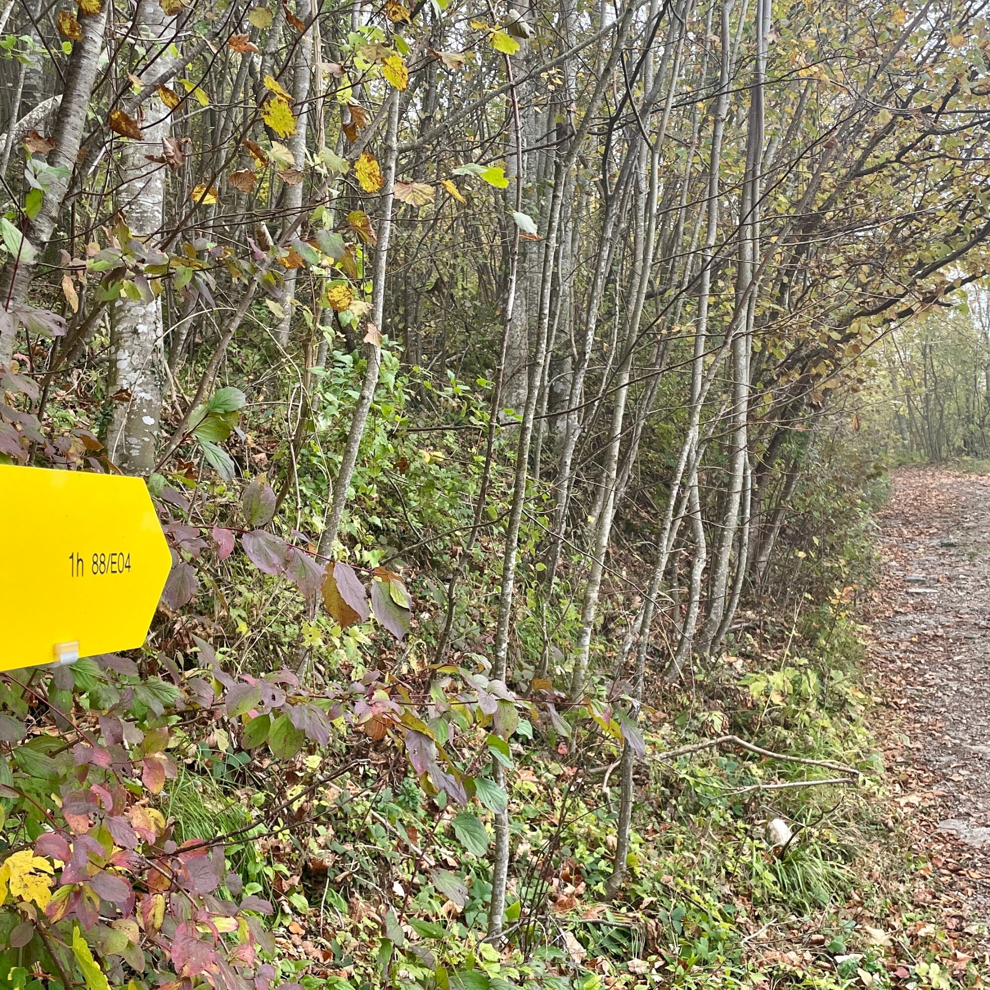
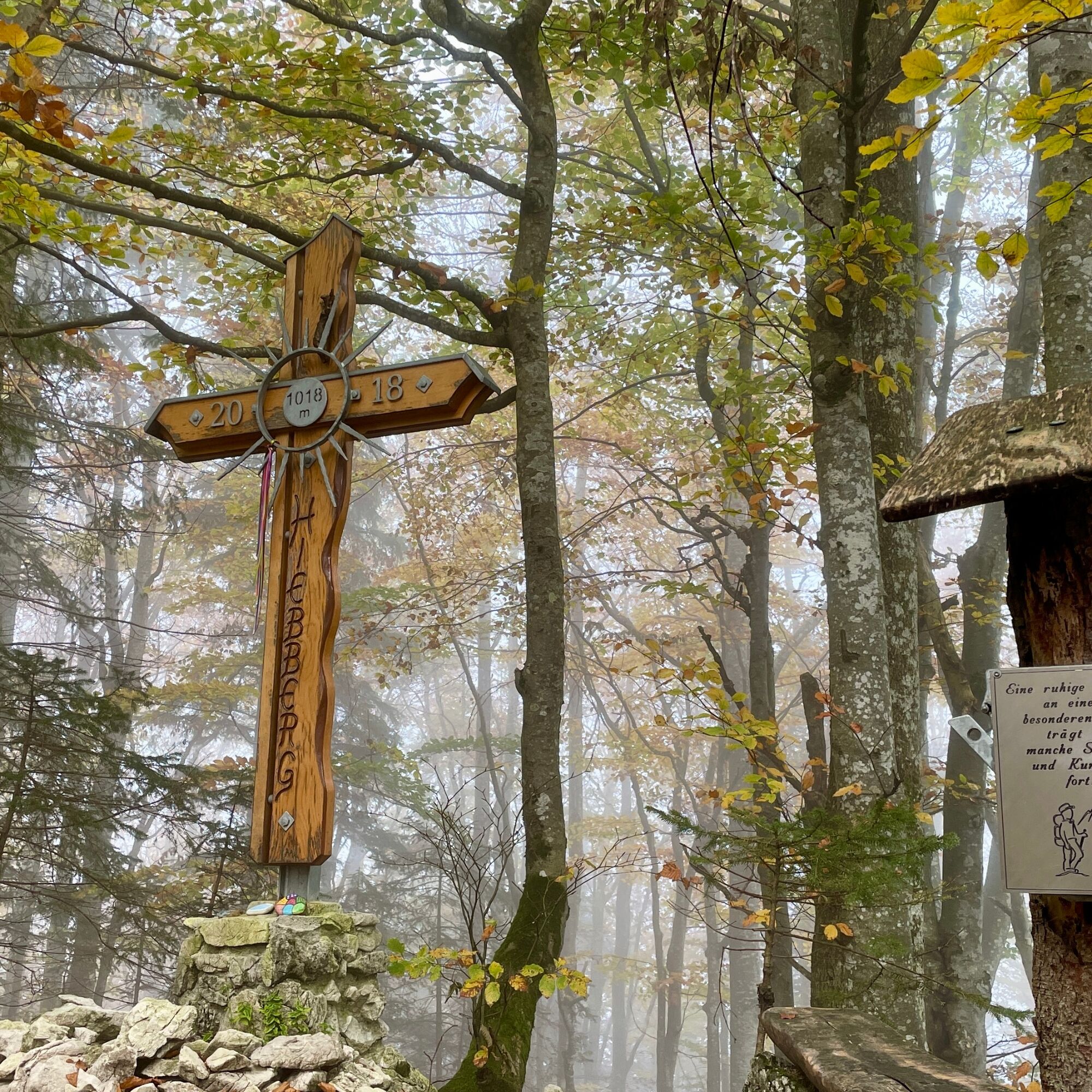
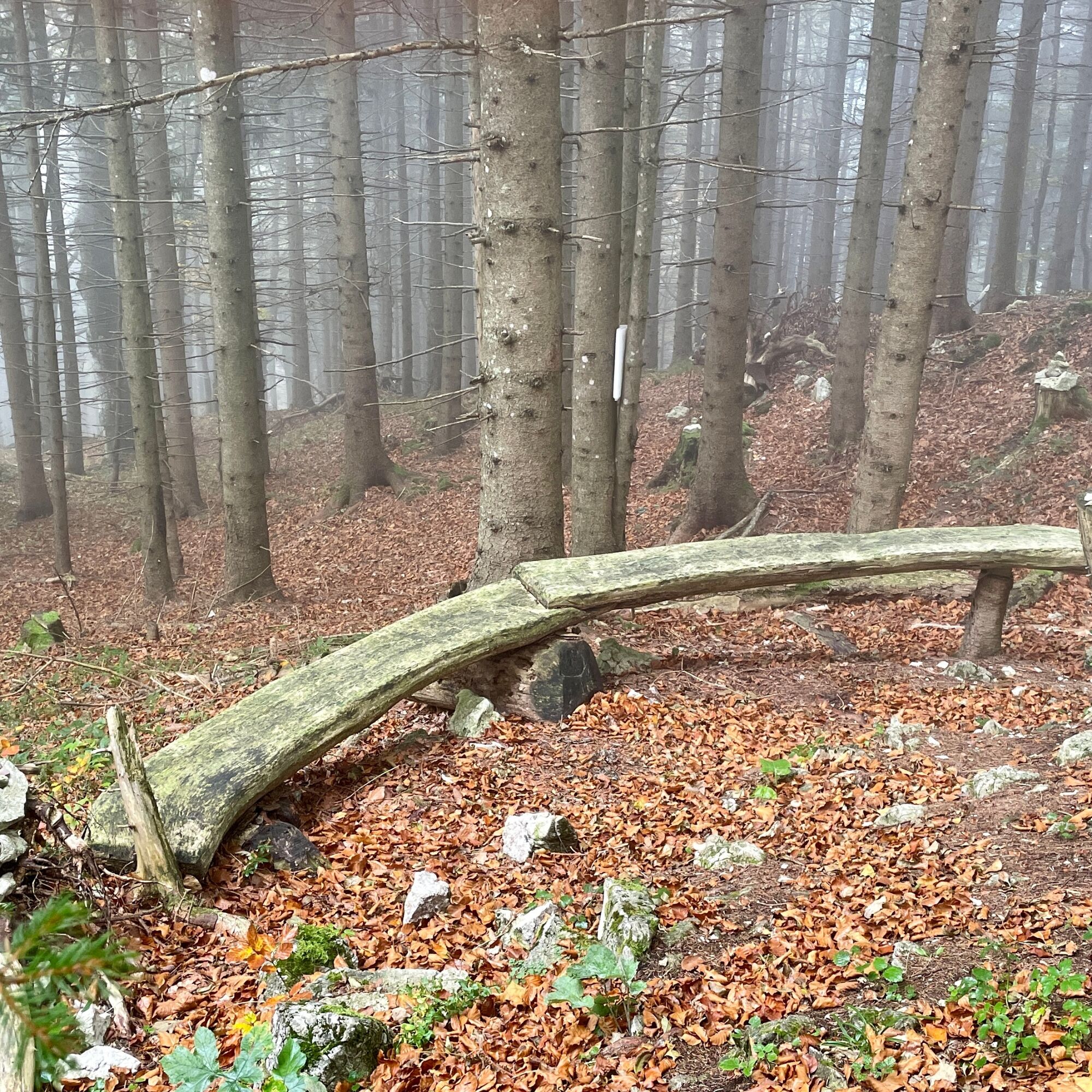

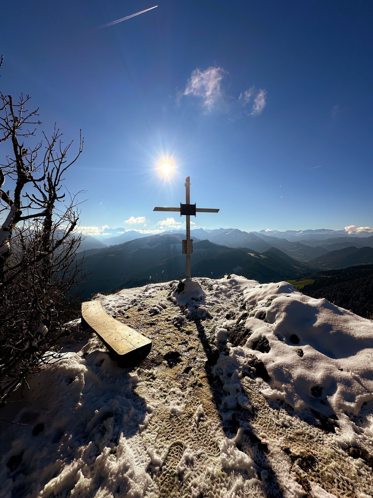
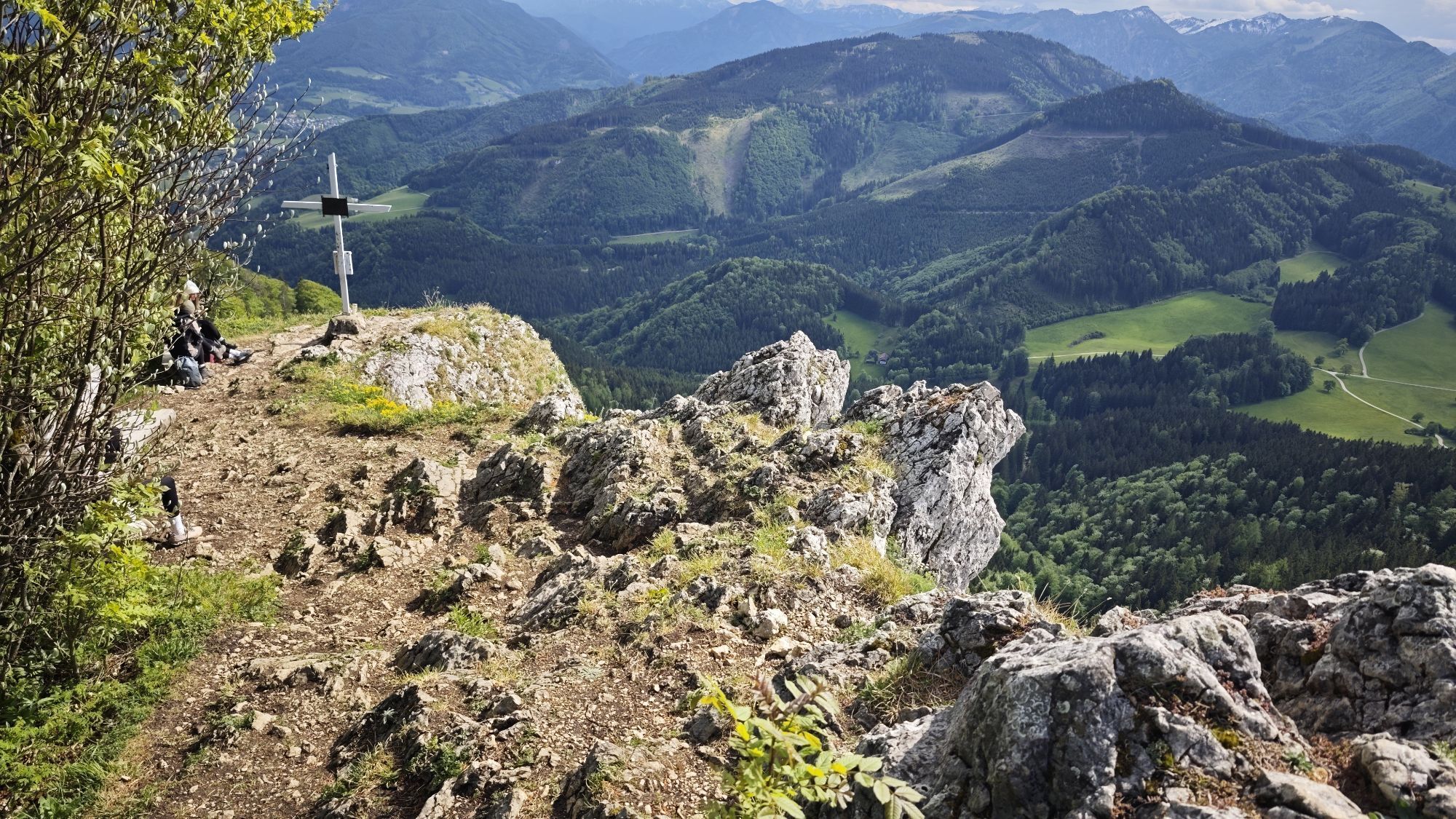
Start at the car park next to a chapel. Car park at the chapel DD 47.904185, 14.633652, GMS 7°54'15.1 ‘N 14°38'01.1 ’E, UTM 33T 472621 5305715.The trail begins immediately after this and leads us up a moderately steep incline at first until we reach a forest road, which we continue on to the left. After 1.5 kilometres, a path branches off to the left onto the Hiebberg. In the summit area, the ascent is steep in places, but never technically difficult, and we reach the summit cross of the Hiebberg. We walk back the same way until we reach the forest road again. A short distance further on to the left, we do not continue along the forest road but branch off into the forest again. A singletrail leads us to the so-called Hals. We take this junction straight ahead and continue along the forest road. After 5.3 kilometres, we come to another point where we leave the road and turn left onto a path that leads us directly to the Lindau wall with a beautiful view of the Alpine foothills. We descend again and continue along the path on the right below the summit. This singletrail leads us back to the ‘Hals’ junction, where we continue straight ahead along the road. Downhill until the road bends to the left. However, we continue to the right and come back to the point where we came out at the beginning. We now walk downhill and quickly reach our starting point at the chapel.
We have a general checklist for you here:
weather-appropriate running gear for the season - weather forecast - region - elevation. This includes: * a waterproof rain jacket * a waterproof rain trousers suitable for running * Gloves and warm headgear (hood/headband/towel). * sunglasses + sunscreen + headgear for very warm days
Trail running shoes
Drinking bottles, softflasks or a hydration bladder with enough liquid for the respective tour (if necessary also salt tablets/magnesium)
Snacks for the energy boost in between: Energy bars, gels, chocolate, trail mix,
Running backpack: ideally a trail running vest / a trail running backpack or a belly belt for small tours.
Drypack: to keep your valuables or change of clothes dry (optionally a small garbage bag).
Emergency blanket
Small first aid kit. An Israeli bandage is highly recommended: this is a one-handed wound and pressure bandage. Details can be found here.
Emergency whistle (often integrated in trail backpacks)
Cell phone
Maps (online and/or offline)
E-card or insurance card
Some cash
Grödeln/Spikes: these can be a great advantage in winter and icy conditions.
Folding poles for trail running
Headlamp
DD 47.904185, 14.633652
GMS 7°54'15.1"N 14°38'01.1"E
UTM 33T 472621 5305715
T2
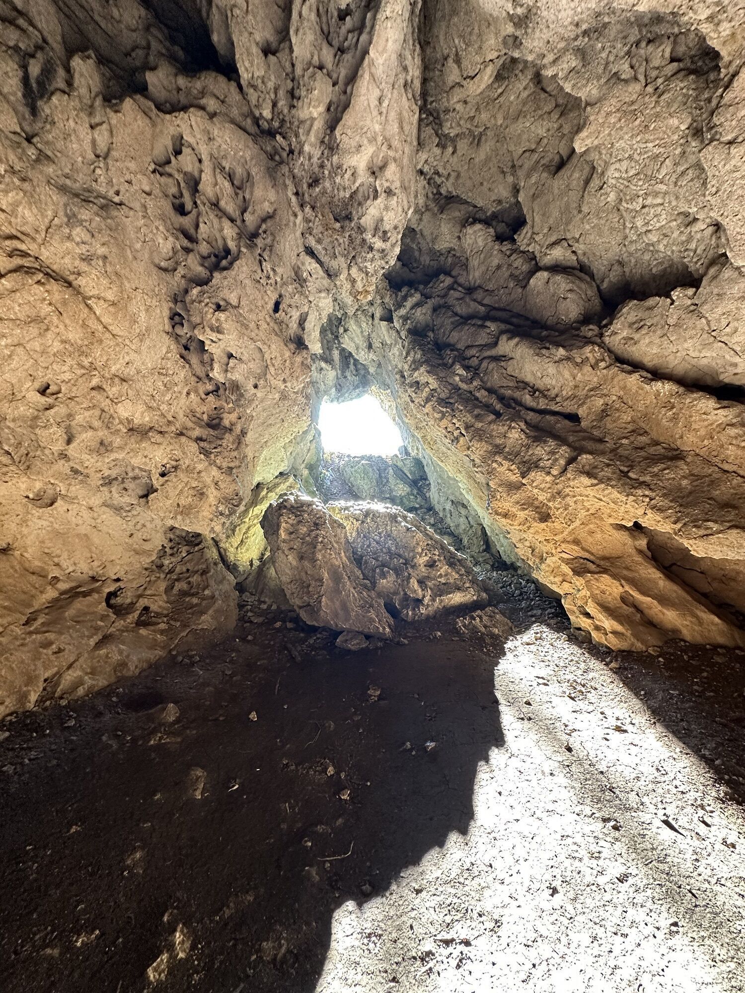
The Lindau Cave is located just below the Lindau Wall directly on the rock face. This cave is 170 metres long and can also be entered. However, caution is advised when entering the cave. It is not advisable to go without a guide and headlamp. Caves are sensitive and highly vulnerable habitats that are home to rare, albeit very small, animals. Therefore, be extremely careful and never light a fire in the cave area!



Dejavnosti na poti

Platten, Oberösterreich/Österreich
23.06.2026 – PohodništvoPlatten, Oberösterreich/Österreich
24.04.2026 – Pohodništvo
Platten, Oberösterreich/Österreich
13.03.2026 – PohodništvoMaria Neustift, Oberösterreich/Österreich
21.01.2026 – PohodništvoPlatten, Oberösterreich/Österreich
17.01.2026 – PohodništvoPlatten, Oberösterreich/Österreich
03.01.2026 – PohodništvoPlatten, Oberösterreich/Österreich
13.12.2025 – PohodništvoPlatten, Oberösterreich/Österreich
28.11.2025 – PohodništvoPlatten, Oberösterreich/Österreich
19.11.2025 – Pohodništvo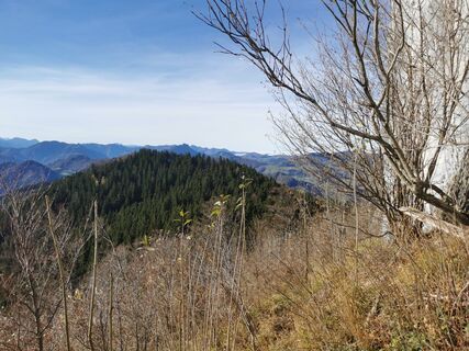
Platten, Oberösterreich/Österreich
13.11.2025 – PohodništvoPlatten, Oberösterreich/Österreich
13.11.2025 – Pohodništvo
Lindaumauer
04.11.2025 – Gorski pohodništvoPlatten, Oberösterreich/Österreich
01.11.2025 – PohodništvoPlatten, Oberösterreich/Österreich
08.10.2025 – PohodništvoPlatten, Oberösterreich/Österreich
01.10.2025 – PohodništvoPlatten, Oberösterreich/Österreich
26.09.2025 – Pohodništvo
Maria Neustift, Oberösterreich/Österreich
16.08.2025 – PohodništvoHiebberg-Lindaumauer-Lindauer Berg, Ev
27.12.2024 – Pohodništvo
Priljubljeni izleti v okolici
- 4.9
Ennser Hut - Almkogel (from Bamacher car park)
srednjaPohodništvo 3.53 km - 4.8
Steinerner Jäger (1185m) und Schieferstein (1206m) ab Parkplatz Hochhabichler
srednjaPohodništvo 4.46 km - 4.7
GROSSRAMING Bamacher, Burgspitz, Almkogel, Ennshütte 20240730
srednjaPohodništvo 10 km - 4.7
Opponitz Gorge Hiking Trail
srednjaPohodništvo 4.42 km - 4.7
Steinerner Jäger (1185m) und Schieferstein (1206m) ab Parkplatz Hack
težkoPohodništvo 8.58 km - 4.3
Freithofberg
srednjaPohodništvo 9.15 km - 4.6
Gamsstein (1275m) und Gschwendtalm ab Parkplatz Brunnbach
srednjaPohodništvo 7.37 km - 4.4
Kleine Gipfelrunde Glasenberg
svetlobaPohodništvo 4.99 km - 3.8
Lindaumauer (1103 m)
Pohodništvo 3.40 km - 4.5
Lindaumauer, Maria Neustift
srednjaPohodništvo 5.53 km
Pohodništvo in sledenje


Ne zamudite ponudb in navdiha za naslednje počitnice
Vaš e-poštni naslov je bil dodan na poštni seznam.





