






Obervellach - Launsberg (O04)
From the main square in Obervellach over the Möll bridge to the south bank of the Möll. Along the alley until the path to Launsberg branches off on the left. A short, worthwhile route.
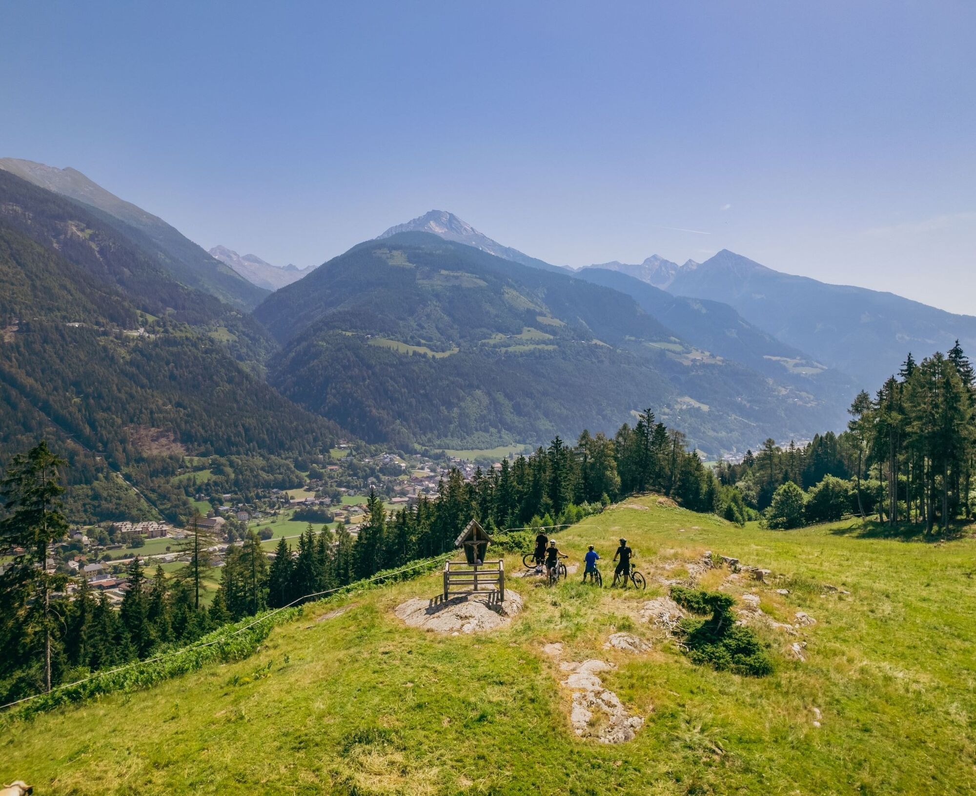
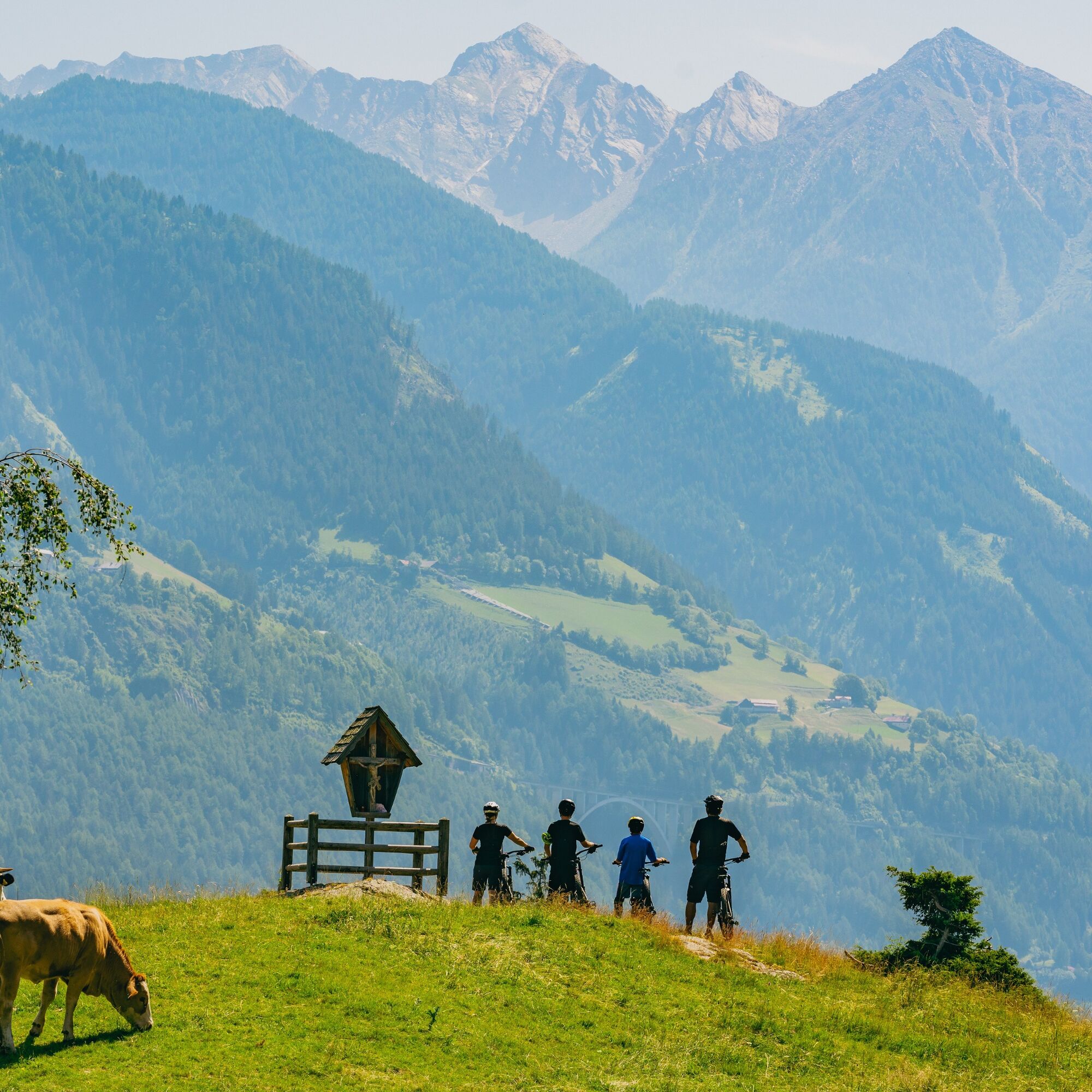
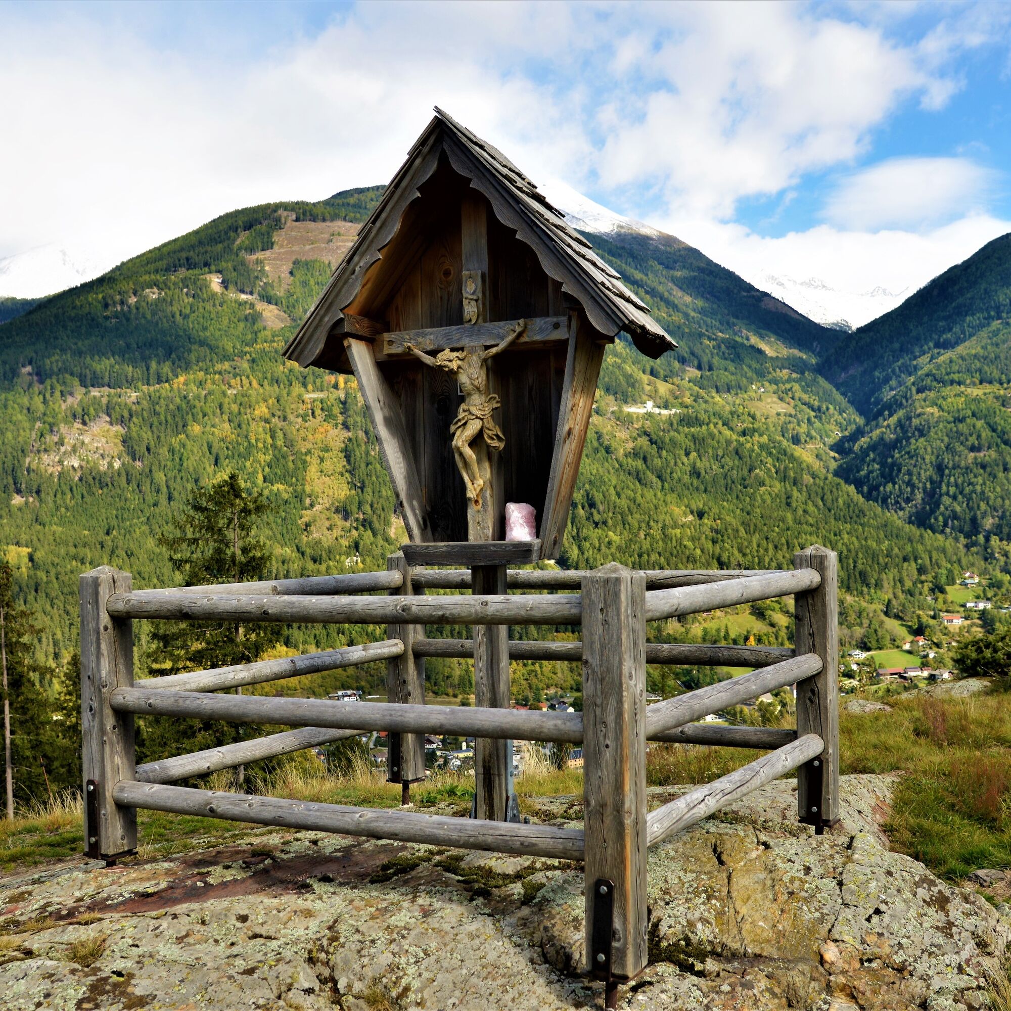
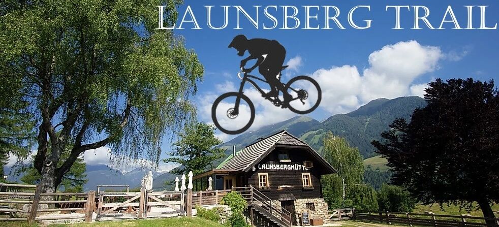

From the main square in Obervellach, follow the signs over a bridge (Möll bridge) to the south bank of the Möll. Here turn right, through an alley, until the path to Launsberg and Polinik hut branches off on the left (straight ahead leads the valley round towards Flattach). On the way to Launsberg, initially still briefly on asphalt, but soon on a forest road, following the signs in several hairpin bends up to Launsberg.
Da
Da
Highlight in the mountain bike offer around Obervellach: a singletrail route from Launsberg to Obervellach.
The natural trail offers a mix of fast descents, exciting forest sections over about 1.3 km, and winds skillfully close to the alley south of the Möll. The ascent to Launsberg takes place along a forest road. Due to the natural condition of the route with roots and stones, we recommend very cautious riding for children and beginners. Experienced trail riders will surely have a lot of fun here!
The use of the route is free and at your own risk. Parking is available near the Sport-Erlebnis-Camp and the football field.
Pridobite vpogled
Vedno v živo na mestu z več kot 9.500 spletnimi kamerami. bergfex Kot uporabnik Pro si lahko zdaj ogledate ustrezne spletne kamere za številne izlete v aplikaciji izleti iz. Tako si lahko neposredno ogledate trenutne razmere.
Priljubljeni izleti v okolici
-
4.8
Wanderung zur Schwussner Hütte
svetlobaPohodništvo 8.07 km -
4.0
Barbarossa Gorge near Mühldorf/Mölltal
svetlobaPohodništvo 2.74 km -
4.5
Arthur von Schmidhaus
srednjaPohodništvo 6.36 km -
3.9
Raggaschlucht
srednjaPohodništvo 3.44 km -
4.4
Groppenstein Gorge Obervellach
srednjaPohodništvo 2.99 km -
4.0
Ankogel
Pohodništvo 3.40 km -
3.6
Hochalmspitze from the Gießener Hut (ascent via Detmolder Ridge, descent Steinernes Mandl)
težkoPohodništvo 13.4 km -
4.8
Mühldorfer Alm - Kleiner Salzkofel
srednjaPohodništvo 11.6 km -
5.0
Ankogelgruppe - Säuleck 3.086m - Detmolder Weg mit zu viel Schnee
težkoVisokogorska tura 23 km -
4.6
Vorderer Geißelkopf
srednjaVisokogorska tura 19.1 km

Pohodništvo in sledenje


Ne zamudite ponudb in navdiha za naslednje počitnice
Vaš e-poštni naslov je bil dodan na poštni seznam.





