


Lappeenranta Lakeside route (Rantaraitti), geological trail
The Lappeenranta Rantaraitti geological trail focuses on the vicinity of Saimaa Geopark sites. There are two Geopark destinations along the route, Rakuunamäki and Lappeenranta Fortress and harbour. The...
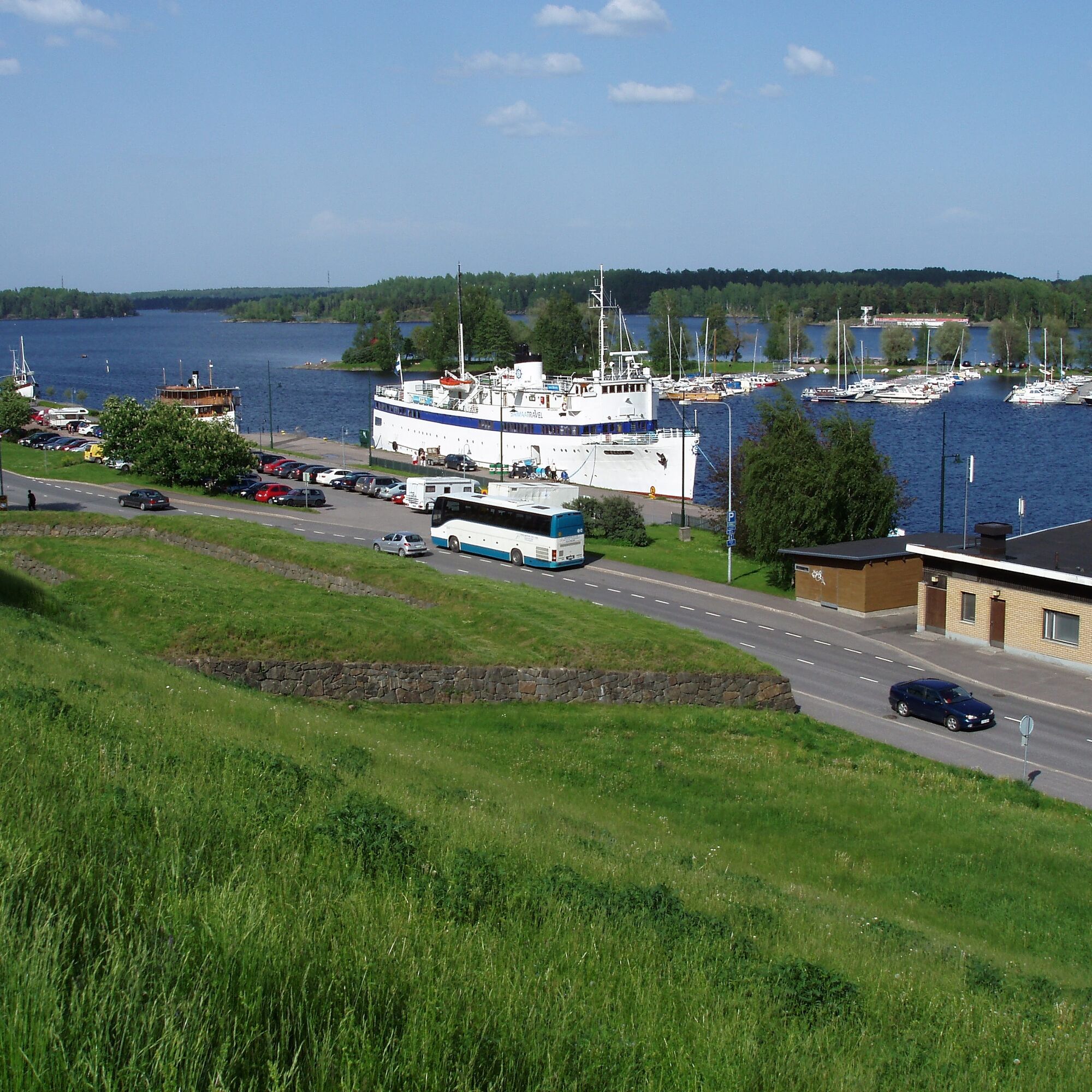
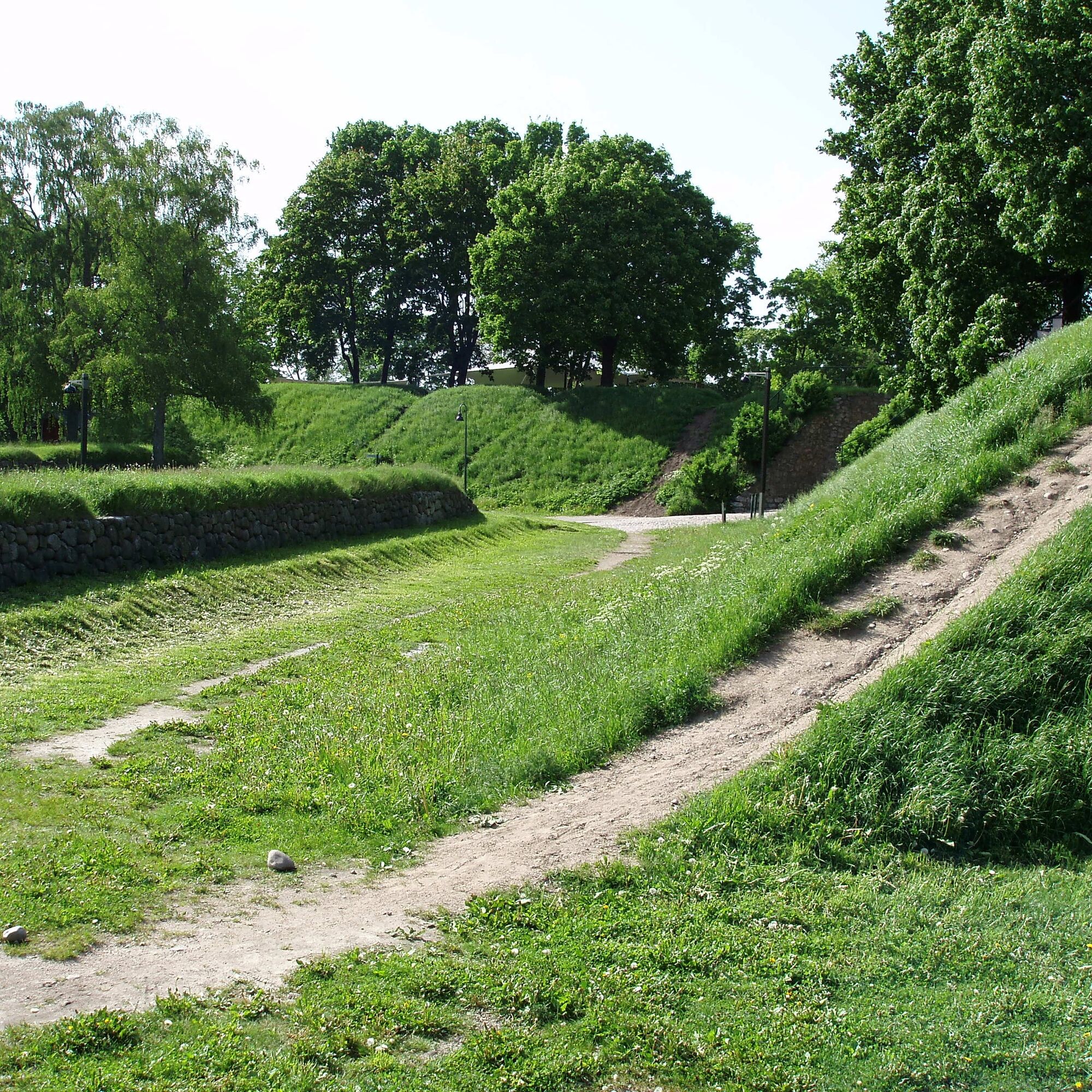
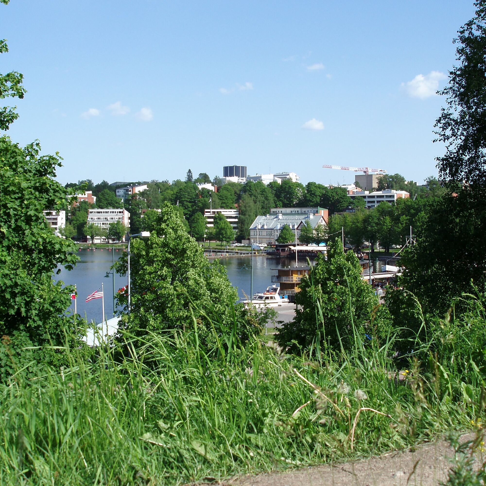
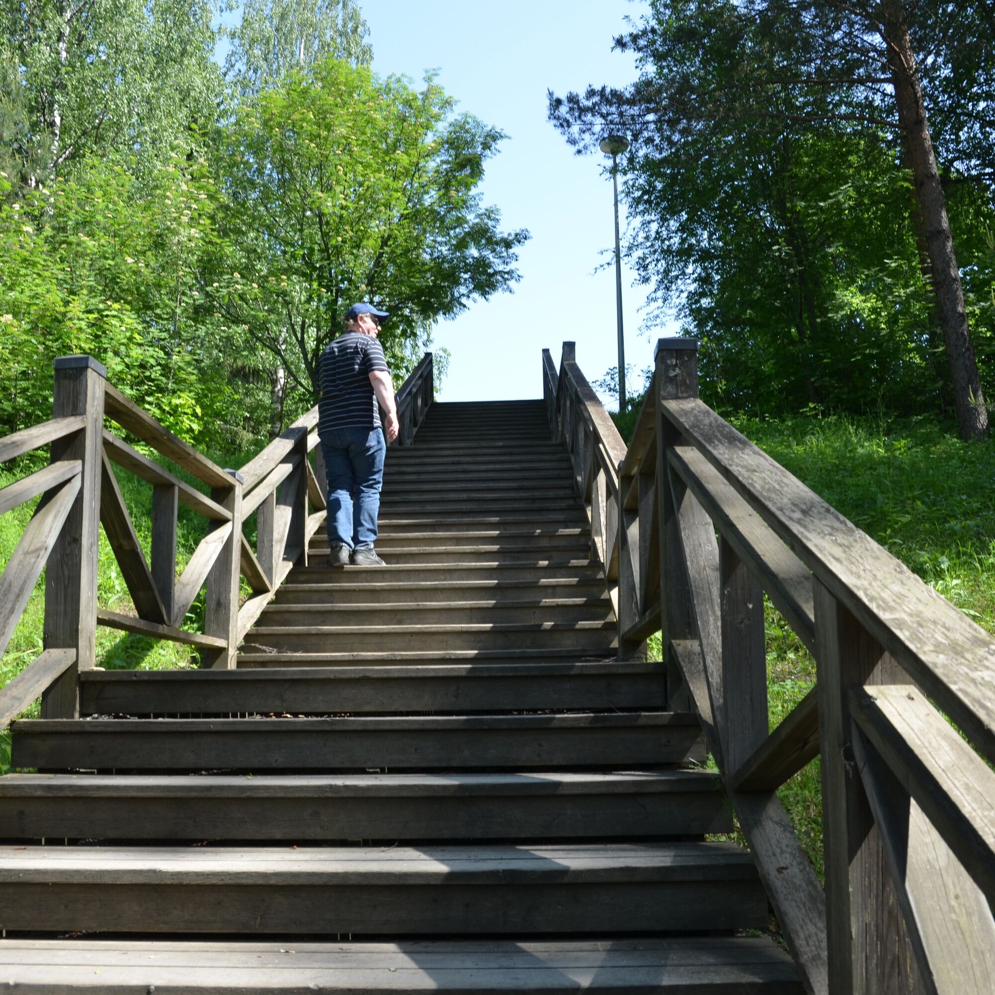
The Lappeenranta Rantaraitti geological trail focuses on the vicinity of Saimaa Geopark sites. There are two Geopark destinations along the route, Rakuunamäki and Lappeenranta Fortress and harbour. The whole Lakeside route is on the website of the South Karelian Foundation for Recreation Areas. The easy-to-use light traffic route circulates on the shore of Lake Saimaa from the Myllysaari beach and the family park through Satamatori to Lappeenranta Fortress. From Rakuunamäki, the route goes west to Huhtiniemi.
Saimaa Geopark sign about Rakuunamäki (pdf)
Saimaa Geopark sign in the harbour (pdf)
Saimaa Geopark website: Lappeenranta Fortress and Harbour
Saimaa Geopark website: Rakuunamäki raised beaches


VisitLappeenranta: The Rantaraitti lakeside route
The lakeside route that winds along the City Bay is a must see for all tourists! The convenient walkway follows the Saimaa shore from the Myllysaari Beach and family park via the Harbour Square, down along the old fortifications of the Fortress to Pikisaari Island, and from there, back to the city centre, through the Fortress. From Rakuunamäki, the route goes west to Huhtiniemi.
Da
Da
Da
Da
Myllysaari can be reached by car or by bicycle.
There is parking spaces on and around Myllysaari.
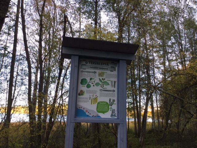
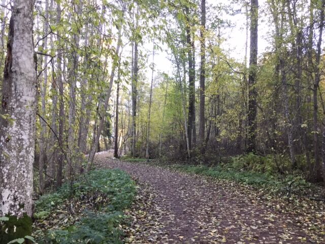
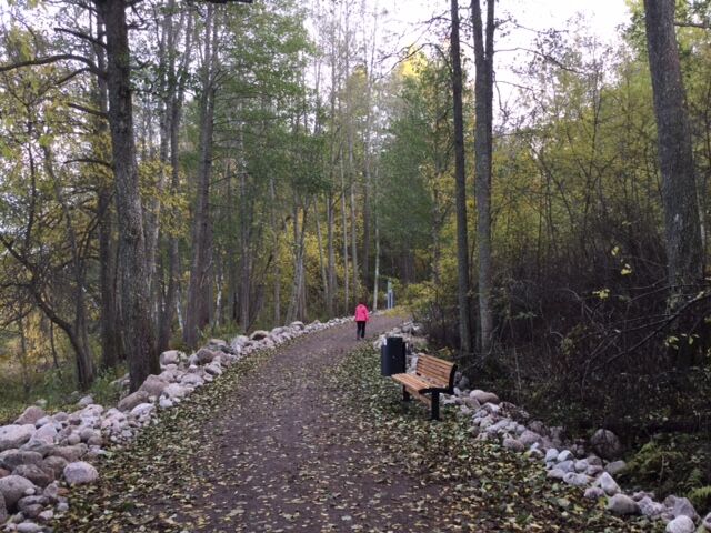
From the harbour you can also continue along the shore to the east and visit Pappilanniemi, where there is a nature trail in the lush forest and along the rocky shores. In the vicinity of the harbour there is also an island for hiking, Karhusaari. The Pappilanniemi and the Karhusaari are Saimaa Geopark sites.
Geological sights along the way include: the ancient beaches of Rakuunamäki.
Priljubljeni izleti v okolici
-
5.0
Taipalsaari scenic cycling route
srednjaKolesarjenje 42.7 km -
Pappilanniemi nature trail, Lappeenranta
srednjaTematska pot 1.78 km -
Mikonsaari nature trail, Lappeenranta
srednjaTematska pot 2.03 km -
Saimaa Canal lock route by bike, Lappeenranta
svetlobaKolesarjenje 25.4 km -
Lappeenranta city cycling route
svetlobaKolesarjenje 10.7 km -
Ruohosaari circuit, Lappeenranta
srednjaKajak / Kanu 22.8 km -
Hirvisaari route, Lappeenranta
srednjaKajak / Kanu 24.0 km -
Hämmäauteensuo Mire Nature Trail, Lappeenranta
svetlobaTematska pot 3.91 km -
Kuivaketvele Tour, Taipalsaari - Lappeenranta
srednjaKajak / Kanu 29.6 km -
Nature and cultural trail of the Fortress
svetlobaTematska pot 1.84 km
Pohodništvo in sledenje


Ne zamudite ponudb in navdiha za naslednje počitnice
Vaš e-poštni naslov je bil dodan na poštni seznam.