


Saimaa Canal lock route by bike, Lappeenranta
The route begins at the magnificent Lappeenranta Harbor Square and follows the shore of Saimaa eastward. The Kaukaa industrial area briefly separates the cyclist from the shore. The Kaukaa factory surroundings...
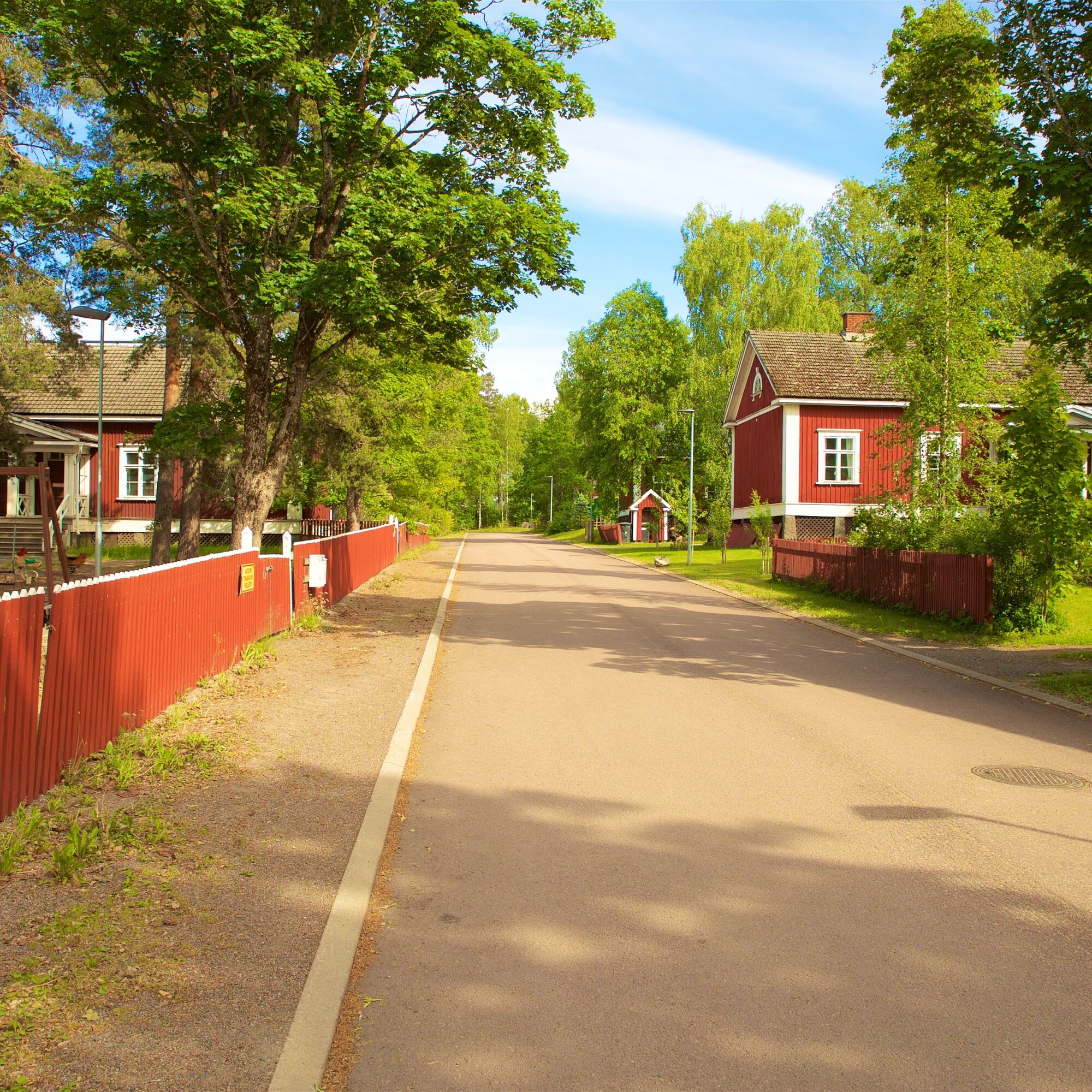
The route begins at the magnificent Lappeenranta Harbor Square and follows the shore of Saimaa eastward. The Kaukaa industrial area briefly separates the cyclist from the shore. The Kaukaa factory surroundings exude Lappeenranta's industrial history. In addition to the factory, some residential buildings and the Kaukaa club remain.
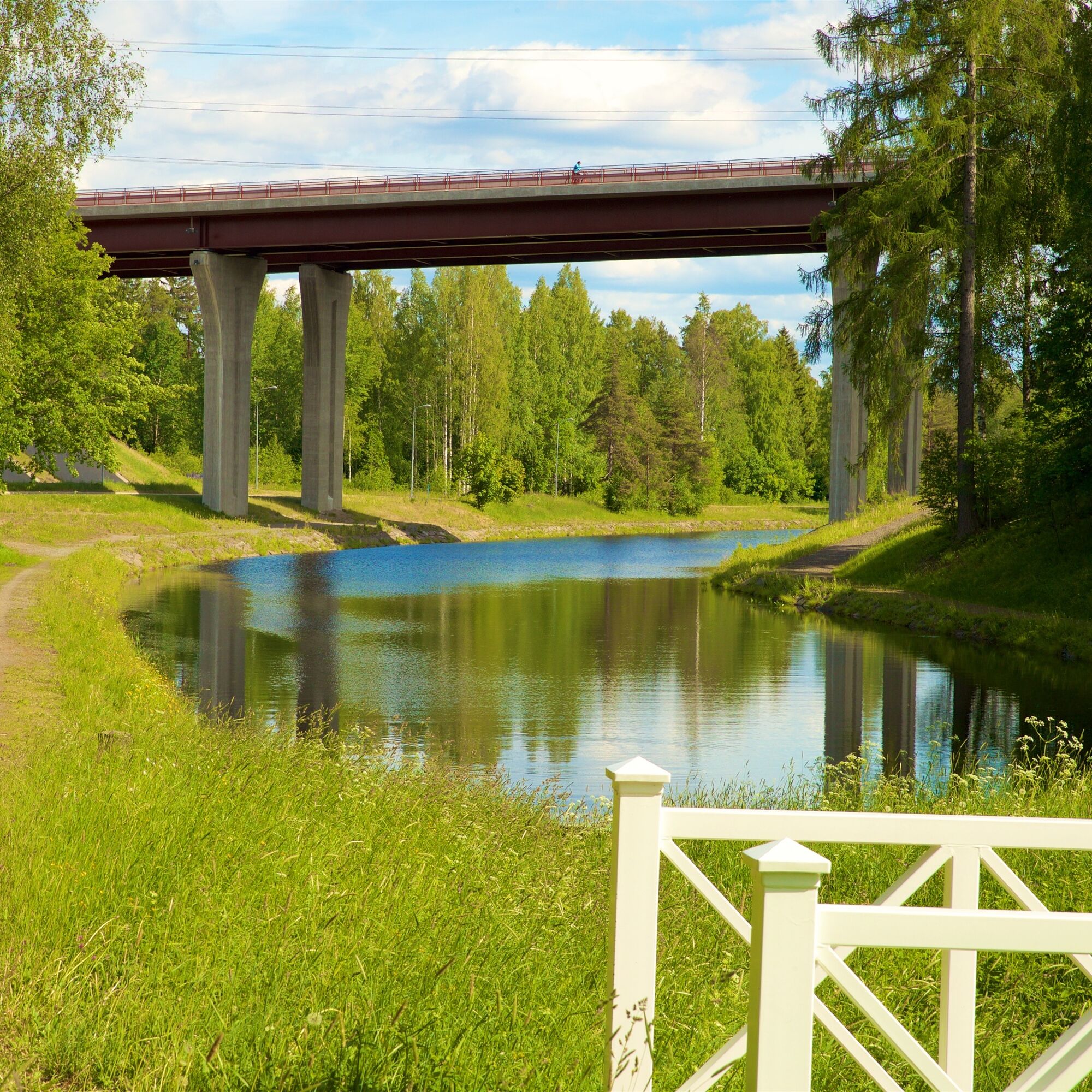
After the industrial area, you come to some of the route's finest views when the path leads to the Luukkaansalmi bridge. In one direction, you can see a magnificent lake view, and in the other, an impressive view of the Kaukaa factories, where pulp, magazine paper, lumber, and biofuels made from renewable materials are manufactured. Fun fact: the bridge is also known as Sorjonen's bridge, as in that famous police series all crimes seemed to happen on the other side of the bridge, with so many scenes crossing over it.
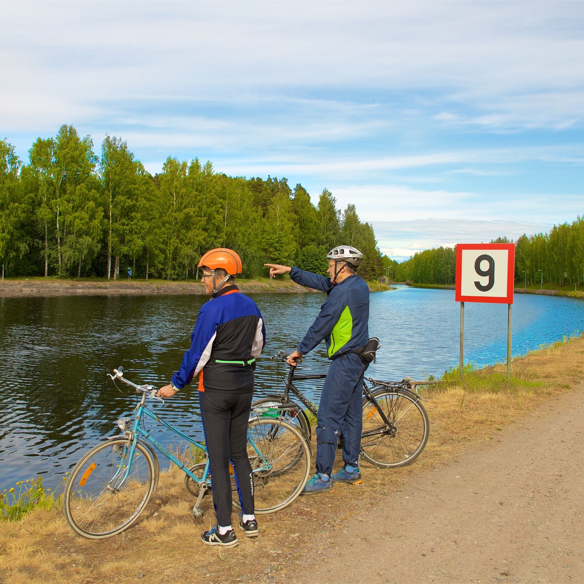
From the bridge, you descend to the waterfront trail. The route line goes under the bridge to a short path section where you might have to walk your bike for a few tens of meters along boardwalks. A skilled cyclist can also ride this part. After Lauritsala marina, you reach the Saimaa Canal shore and cross the Canal Bridge to the Kanavansuu district and a long stretch along a gravel road right next to the canal.
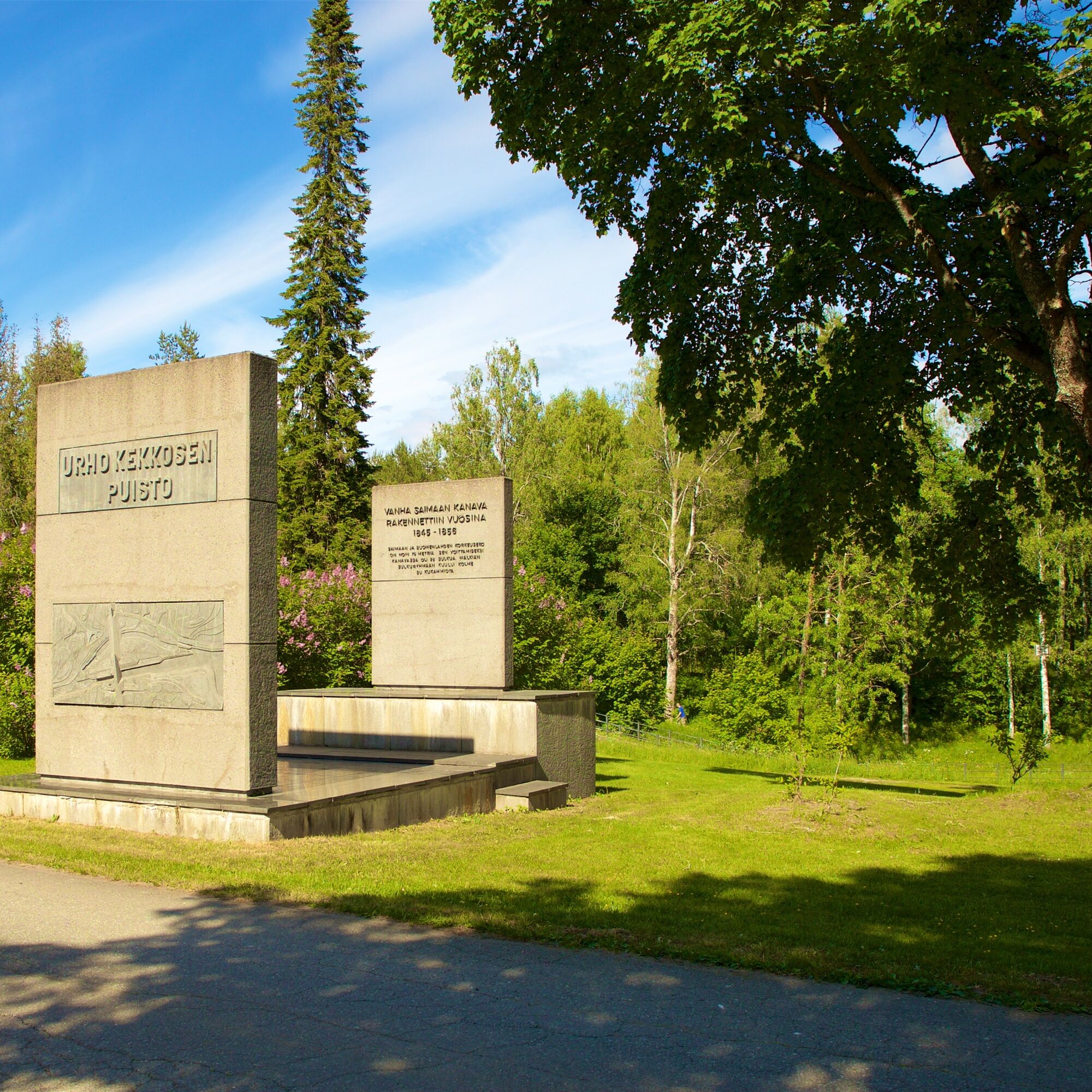
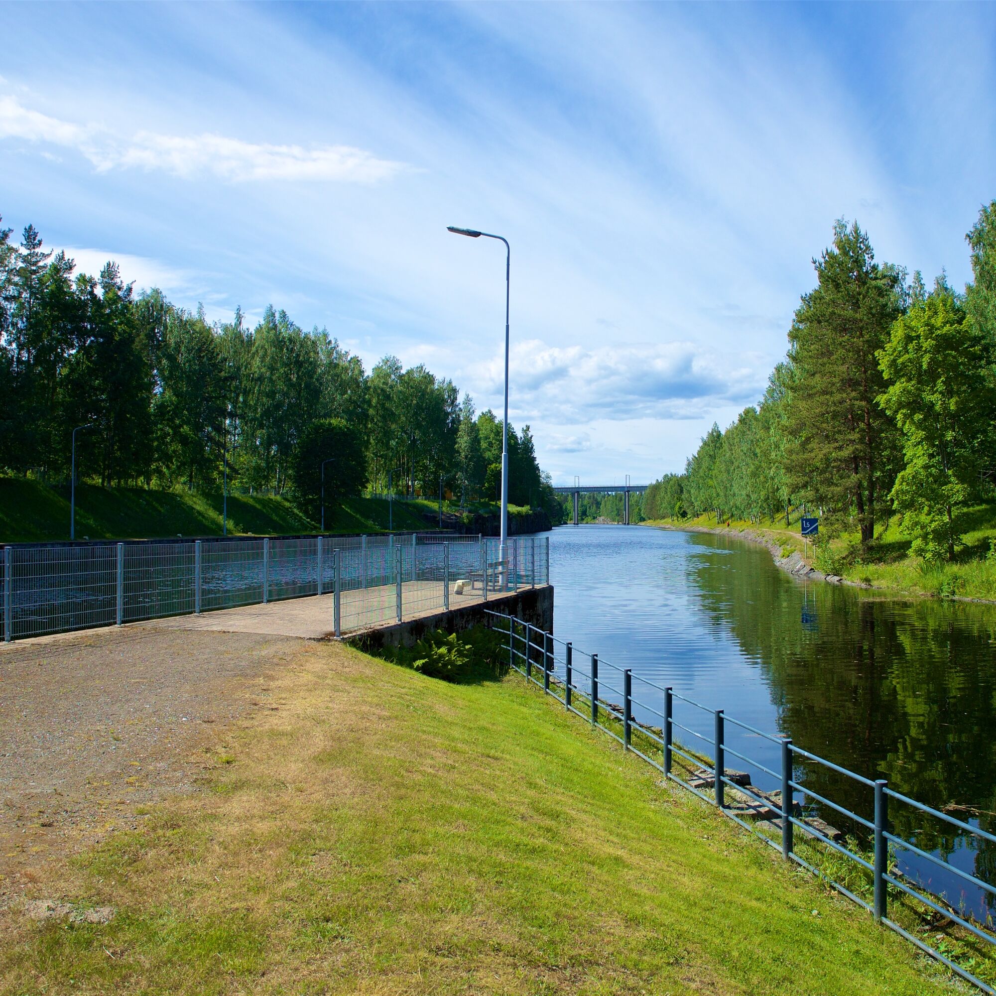
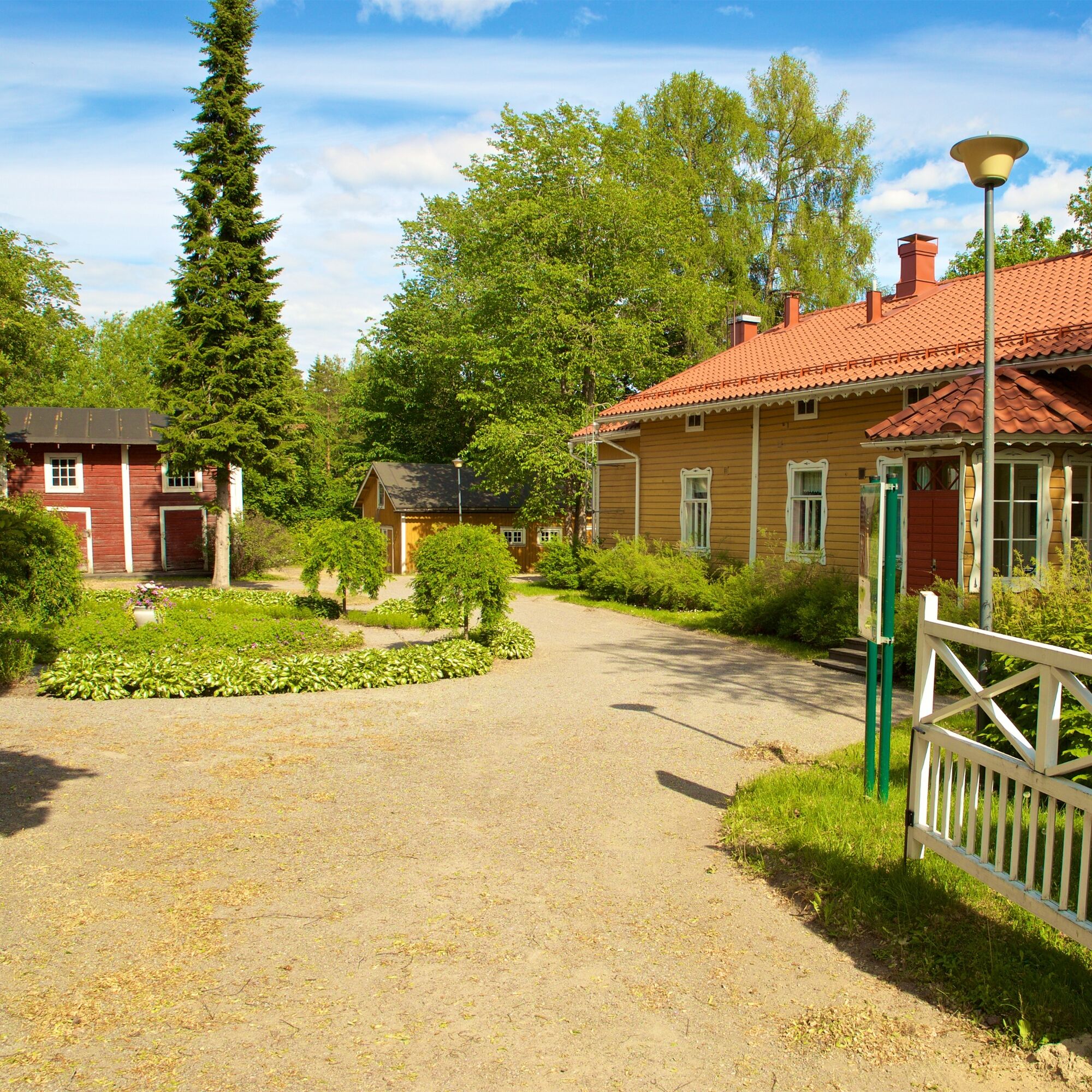
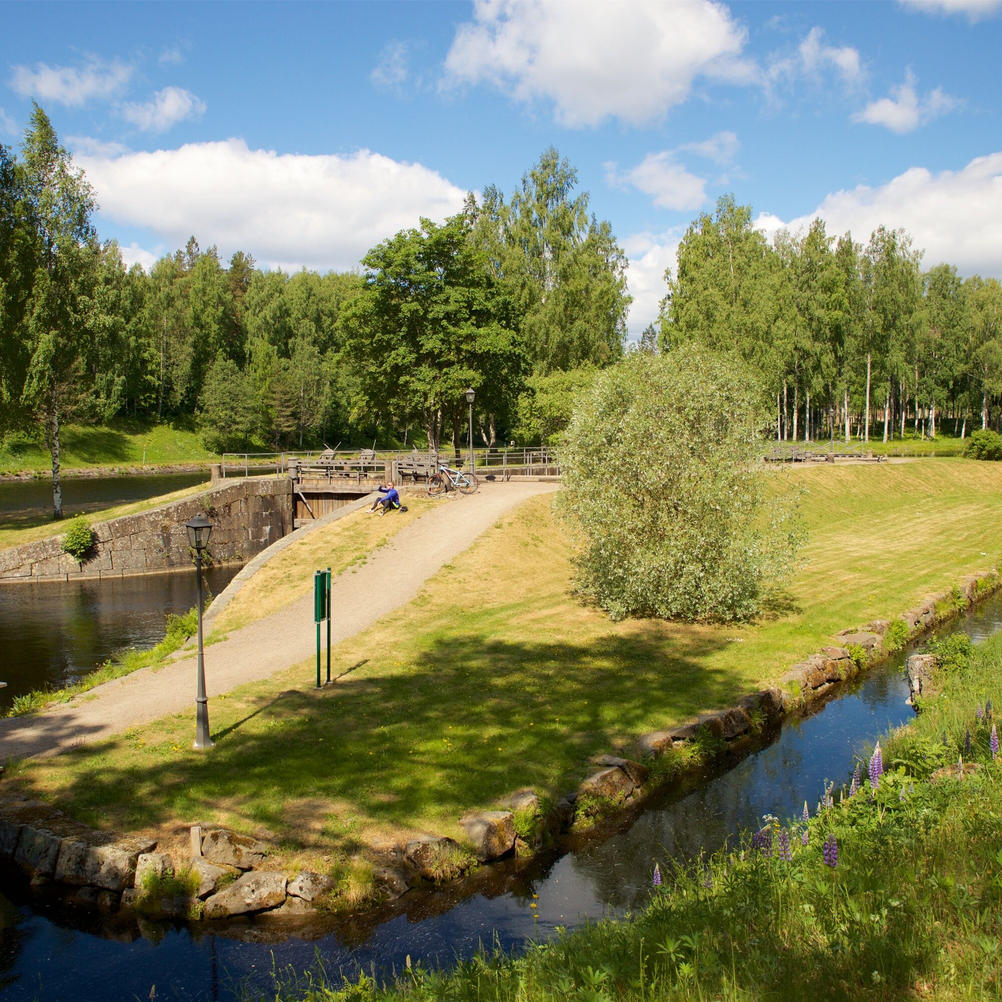
At the Mälkiä lock, you can explore both the old canal opened in 1856 and the current canal in use. Mälkiä lock is the highest lock in the canal (drop height 14.2 m), and near it is also the Saimaa Canal Museum. The exhibition about the phases of the Saimaa Canal is located in the former canal upper district manager’s magnificent official residence built in 1845. The museum’s historically valuable yard area with flower beds and park paths has been renovated, and the outer buildings display canal-related artifacts. The Saimaa Canal Museum is open daily in summer and at other times by appointment.
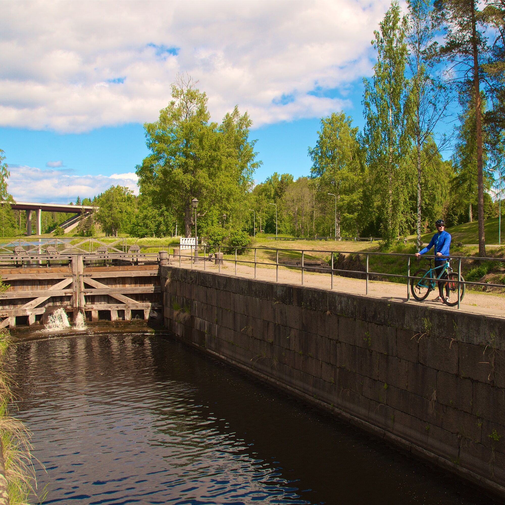
From Mälkiä, the route continues following the eastern shore of the canal towards Saimaa to explore the museum-registered Pien-Mustola lock. At the lock site, there is an old towpath once used by horses to pull unmotorized barges into and out of the lock.
Of the 8 locks in the Saimaa Canal, 3 are located on the Finnish side. On this route, you get to see the first two locks when leaving Saimaa. With good luck, you might see vessels passing on the canal, perhaps even observe a lock operation.
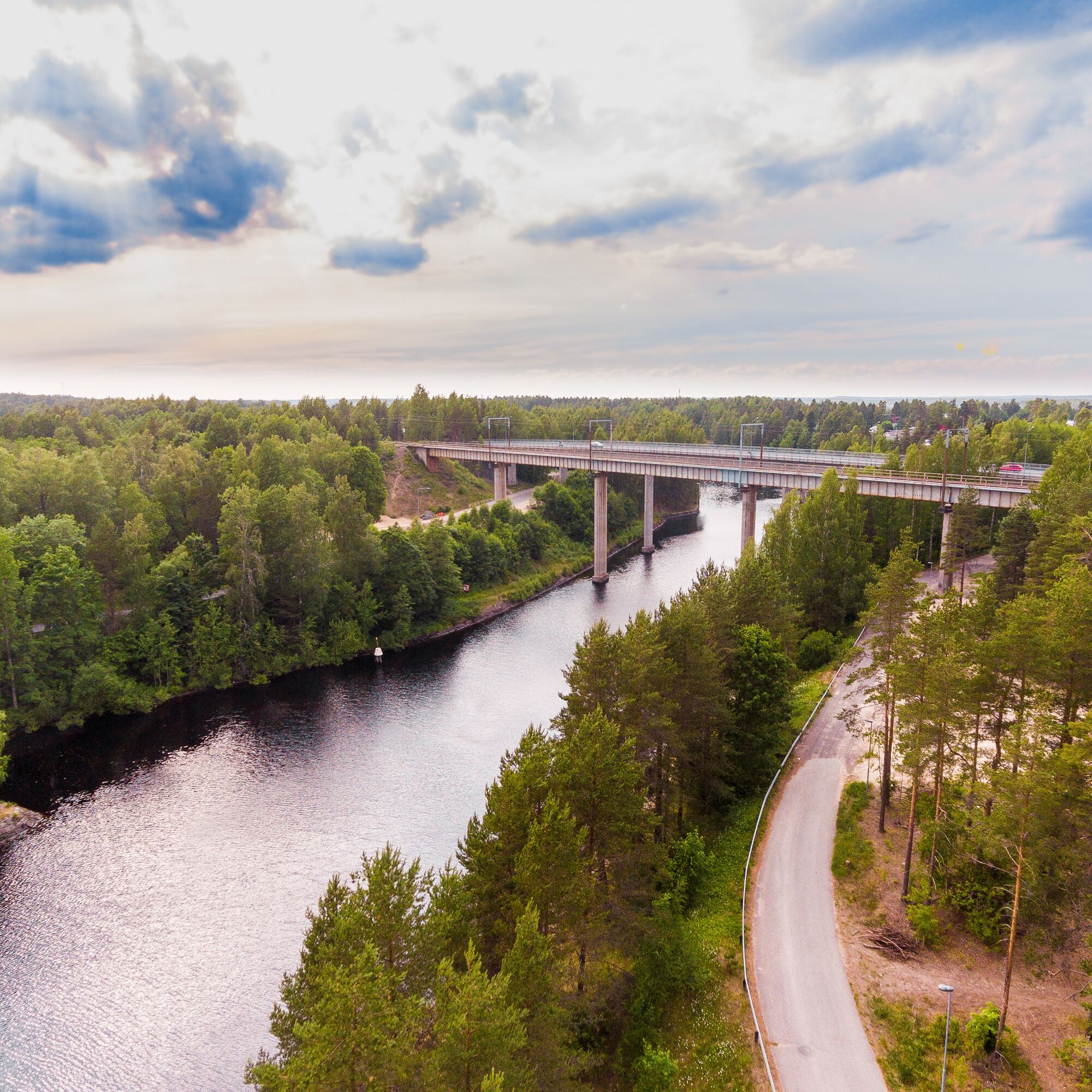
The Saimaa Canal is crossed a second time at the Mustola lock, after which the route heads north along the waterfront trail. Eventually, the route smoothly returns to Lappeenranta city center. Upon arrival, you can sit in cozy cafés and restaurant ships at the Lappeenranta harbor and try local delicacies such as Karelian pies, waffles, vety sandwiches, and atomic sandwiches. Nearby is the historic Lappeenranta Fortress with many attractions and services.
Every summer, near the harbor rises Finland's largest Sand Castle for the admiration of smaller and somewhat bigger visitors. Approximately three million kilos of sand are used to build the Sand Castle, which is on display throughout the summer. The theme of the Sand Castle changes yearly, and during the event, various free and paid activities are offered for families with children.
Route surface material: asphalt and well-maintained gravel roads on the waterfront trail. One short boardwalk section that can also be bypassed via streets.
Pappilansalmi personnel ferry
Also note the boat service at Pappilansalmi! This does not directly touch this route, but you can modify the route and travel from Pappilanniemi to the Luukkaansalmi bridge via the archipelago.
The city of Lappeenranta opened a free boat rental service for crossing Pappilansalmi in September 2021. The approximately 150-meter-long rowing boat connection between Pappilanniemi and Pieni Lamposaari links the western and the under-construction eastern waterfront trails.
The crossing opportunity also expands the area's cycling network, as it opens a new path in addition to the waterfront trails to Pappilanniemi’s and Mikonsaari’s nature trails and Taipalsaari’s scenic route. At the former Pappilansalmi ferry location at the end of Isännöitsijäntie, three rowing boats are available for rent. They can be used free of charge through an electric reservation system. The boats are intended only for crossing Pappilansalmi. More information and reservation instructions can be found here.

1st Stage: Harbor - Luukkaansalmi Bridge:
Lappeenranta Harbor Square - Ainonkatu - Imatrantie - Kaukaankatu - Standertskjöldinkatu - Lauritsalantie - Hyötiöntie - Luukkaansalmi Bridge.
2nd Stage: Luukkaansalmi Bridge - Mustola lock
Luukkaansalmi Bridge - waterfront trail - Pienluukka Road - Luukkaankatu - Western canal road - Muukontie - Suolavuori road - waterfront trail - Eastern canal road - Mustola lock.
3rd Stage: Mustola lock - Lappeenranta Harbor
Mustola lock - Waterfront trail - Western canal road - Muukontie - Lauritsalantie - Valtakatu - Kirkkokatu.
Da
Da
Route surface material: asphalt, gravel, 1 very short boardwalk section.
Before the trip, it is good to check the weather forecasts. Dress appropriately for the weather. It is also recommended to bring first aid equipment, rain gear, spare clothes, and enough snacks and drinks.
In an emergency, call 112. State your location, what happened, and listen to instructions.
You can arrive at Lappeenranta Travel Center by train, bus, car, or bicycle.
Address: Ratakatu 23, 53100 Lappeenranta.
From the Travel Center, you can reach the Saimaa Canal Museum by local bus number 7 (Mustola).
The starting point of the route is Lappeenranta Travel Center, served by trains and buses.
You can check train schedules on the VR website.
You can check bus schedules from Matkahuolto.
There is parking space at the Travel Center. Longer-term parking is chargeable.
There is free parking at the sandy parking lot near the Saimaa Canal Museum.
Target groups: urban cyclists, occasional cyclists, families, gravel cyclists
Priljubljeni izleti v okolici
- 5.0
Taipalsaari scenic cycling route
srednjaKolesarjenje 42.7 km Pappilanniemi nature trail, Lappeenranta
srednjaTematska pot 1.78 kmMikonsaari nature trail, Lappeenranta
srednjaTematska pot 2.03 kmUkonmäki nature trail, Lappeenranta
srednjaTematska pot 0.95 kmLappeenranta Lakeside route (Rantaraitti), geological trail
svetlobaTematska pot 6.09 kmLappeenranta city cycling route
svetlobaKolesarjenje 10.7 kmRuohosaari circuit, Lappeenranta
srednjaKajak / Kanu 22.8 kmPäihäniemi nature trail
srednjaTematska pot 2.87 kmHirvisaari route, Lappeenranta
srednjaKajak / Kanu 24.0 kmHämmäauteensuo Mire Nature Trail, Lappeenranta
svetlobaTematska pot 3.91 km

Pohodništvo in sledenje


Ne zamudite ponudb in navdiha za naslednje počitnice
Vaš e-poštni naslov je bil dodan na poštni seznam.