



Mikonsaari canoeing circuit, Lappeenranta

Allow at least 3 hours for paddling, the route length is approx. 16 km. The route starts via Karhusaari, under the Mikonsaari bridge – if you want, you can detour at Marjola. North of Mikonsaari through...
Allow at least 3 hours for paddling, the route length is approx. 16 km. The route starts via Karhusaari, under the Mikonsaari bridge – if you want, you can detour at Marjola. North of Mikonsaari through Kivisalmi, then return to the Myllysaari canoe shed via Karhusaari. Landing places in Mikonsaari and Karhusaari, also in Marjola. There is a beach in Kivisalmi where you can stop by the shore. Paddlers should stay clear of swimmers and not disturb them.

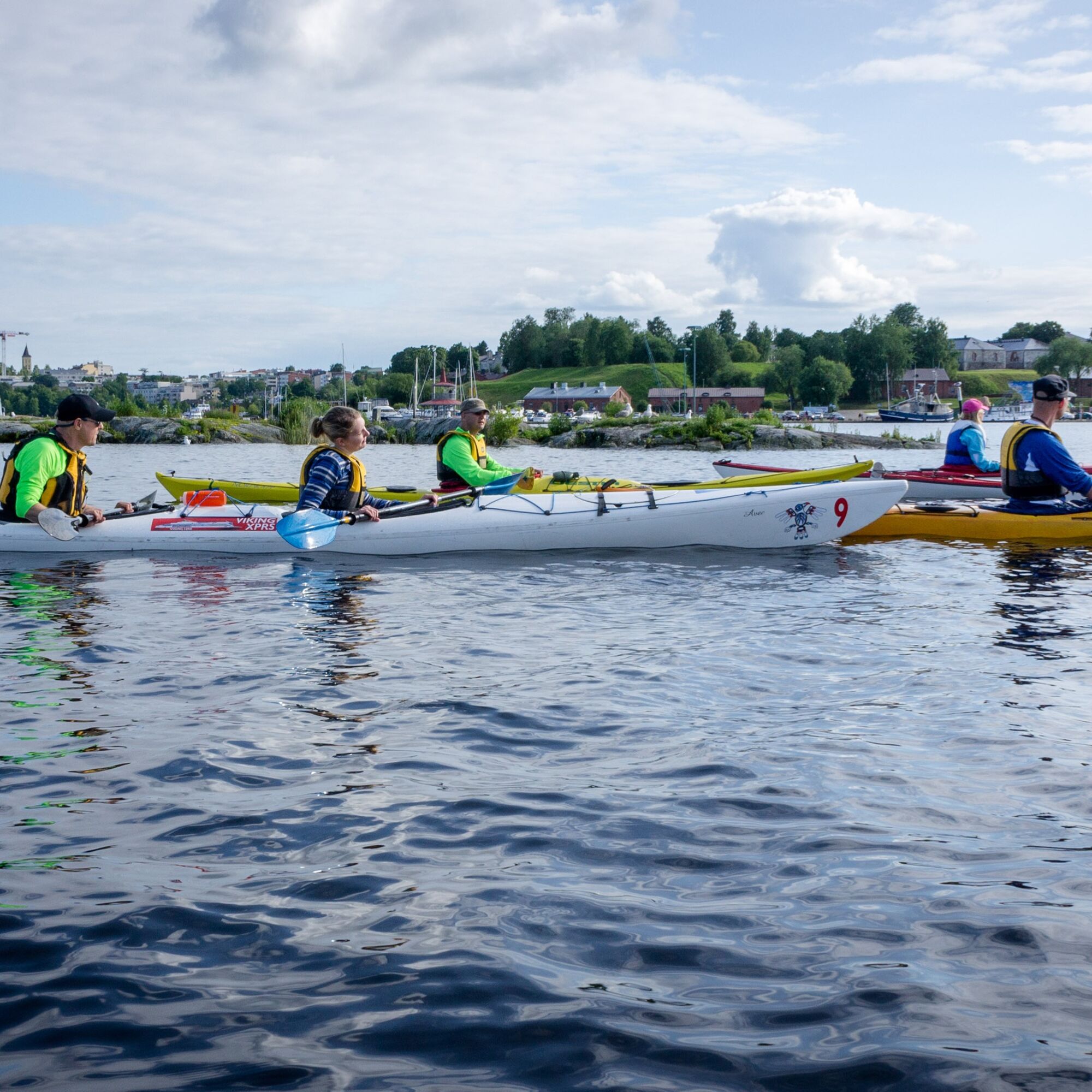
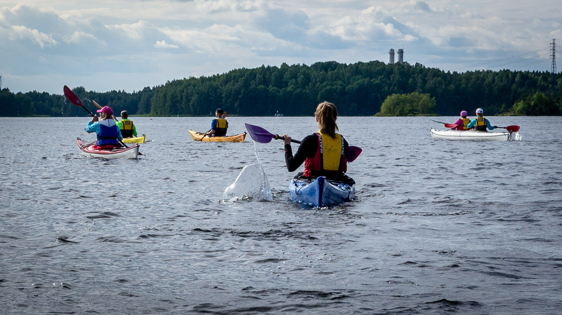
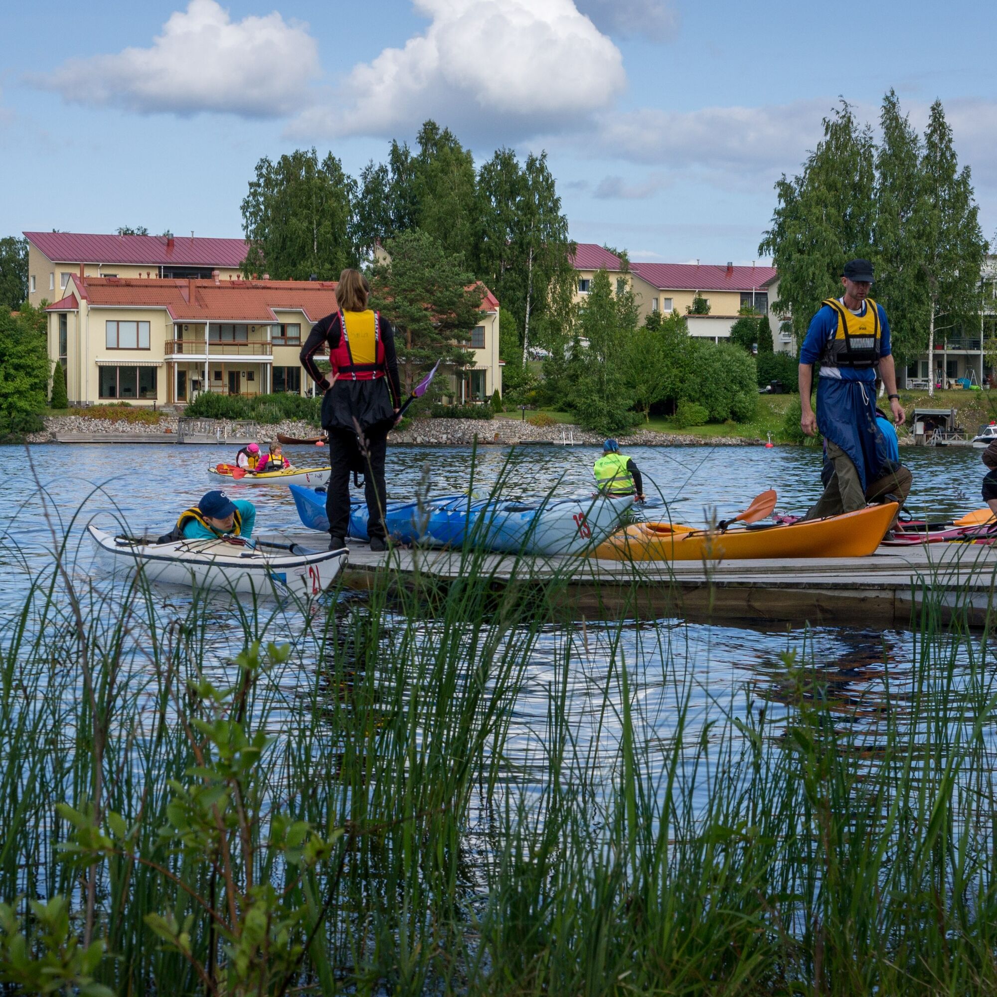
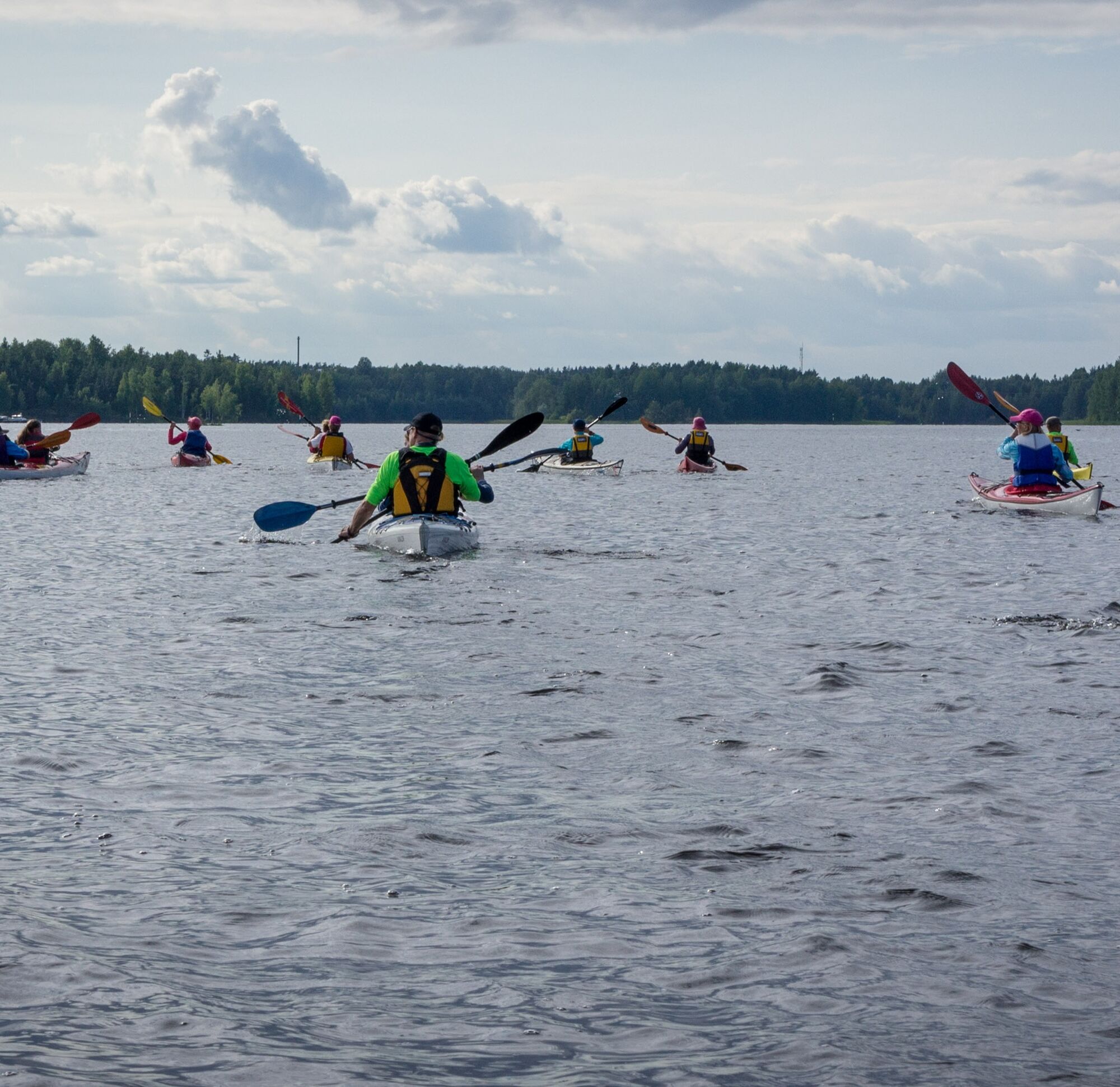
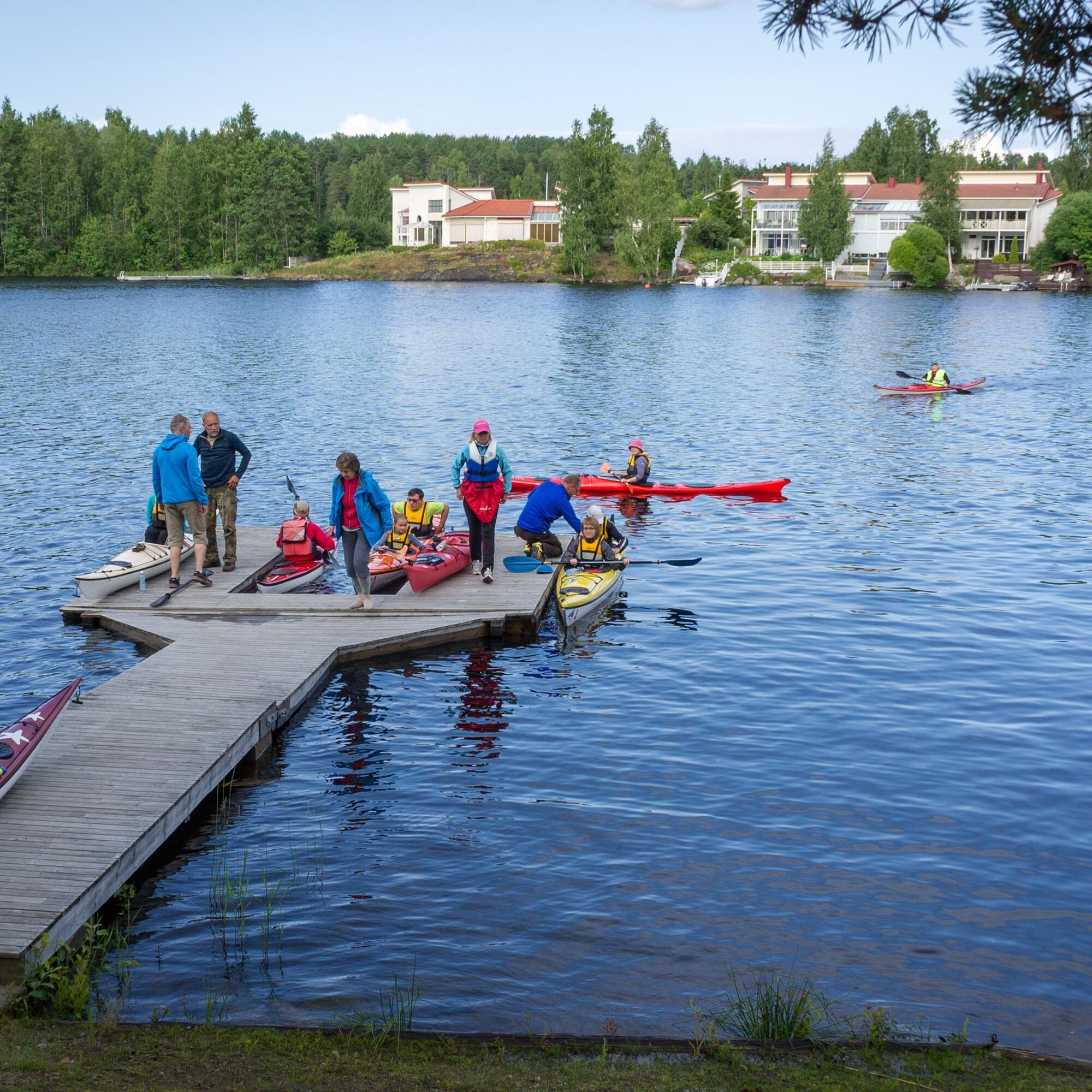
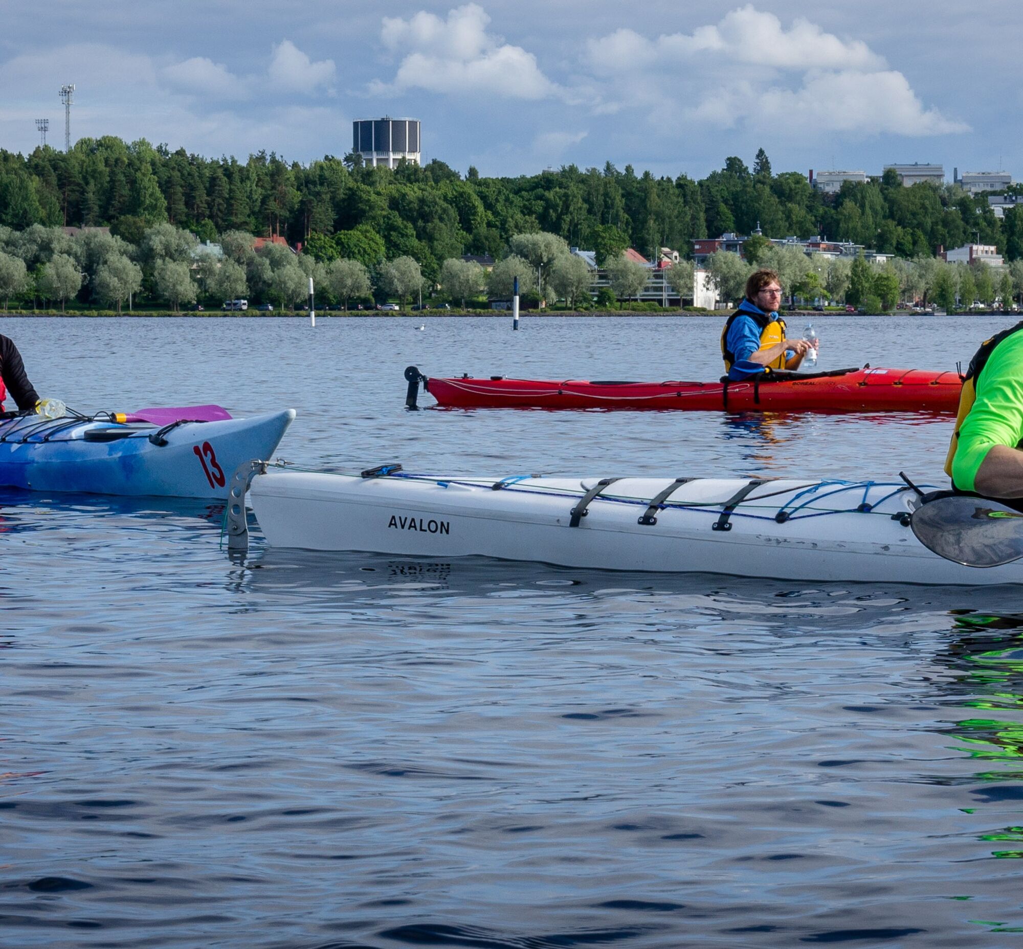
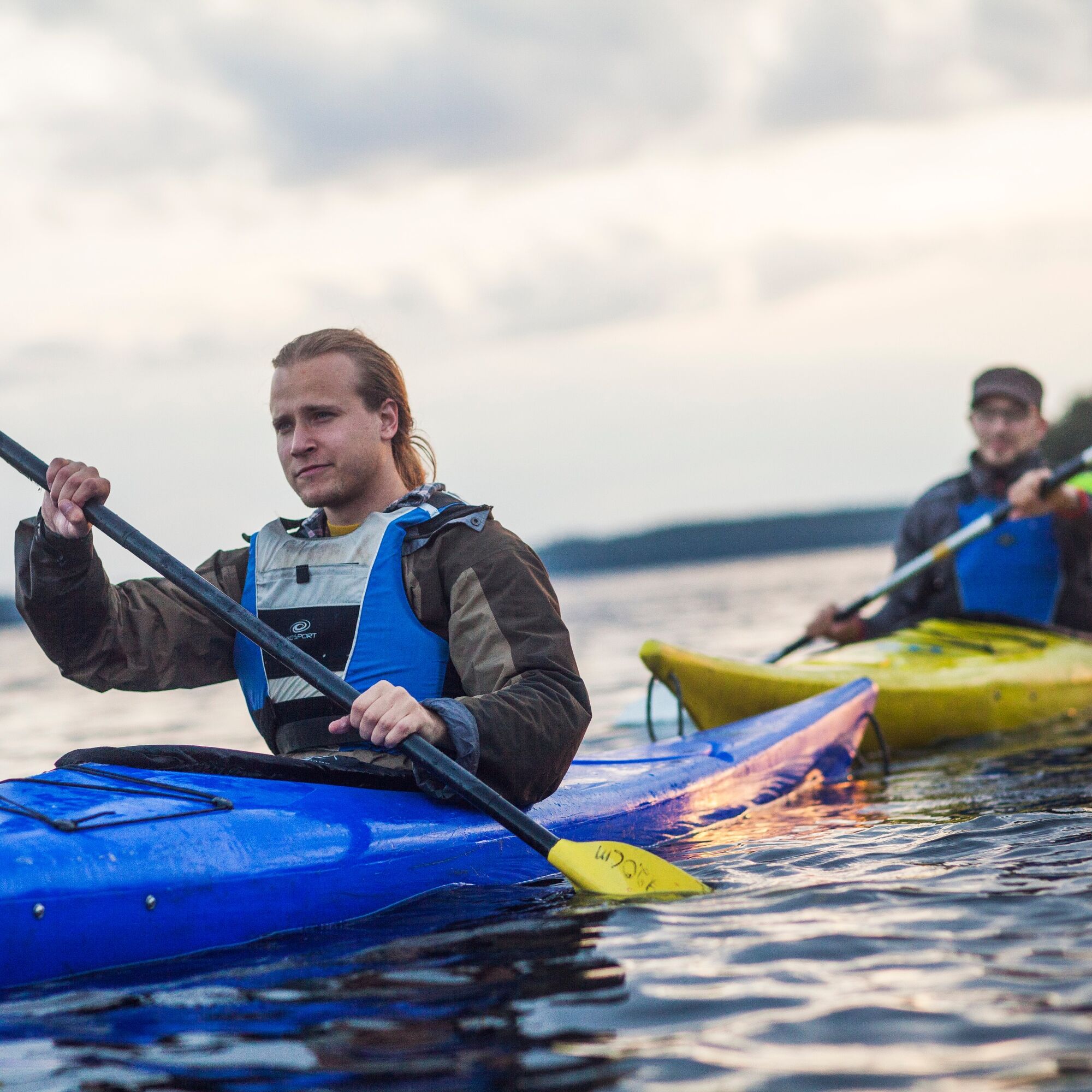
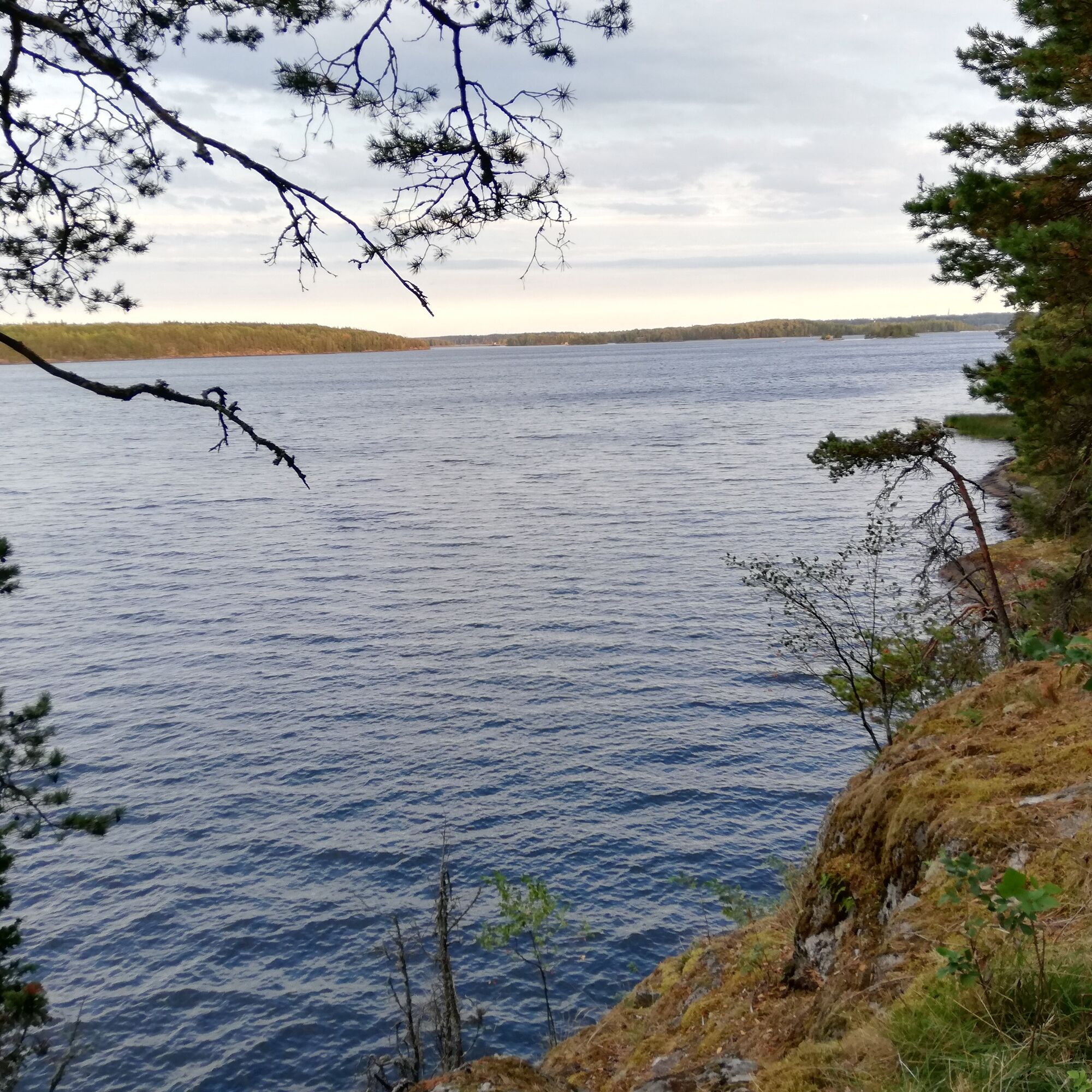
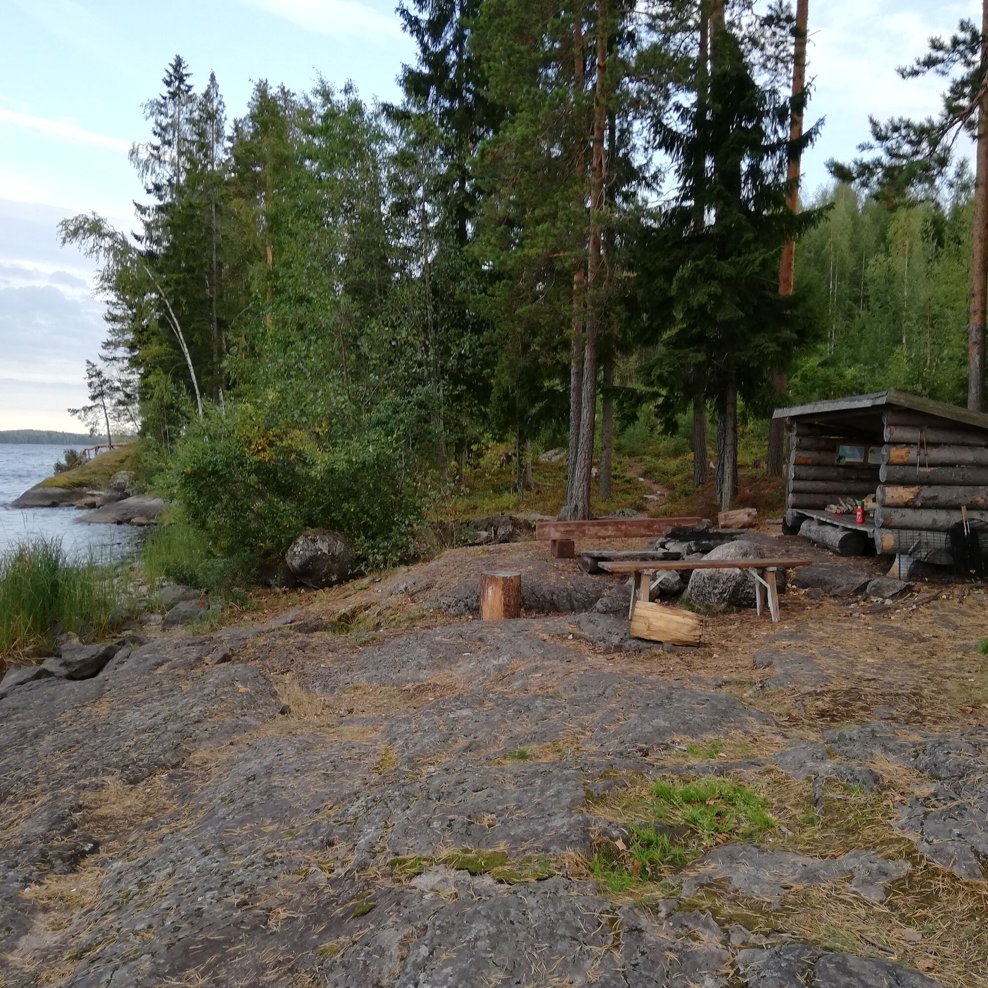
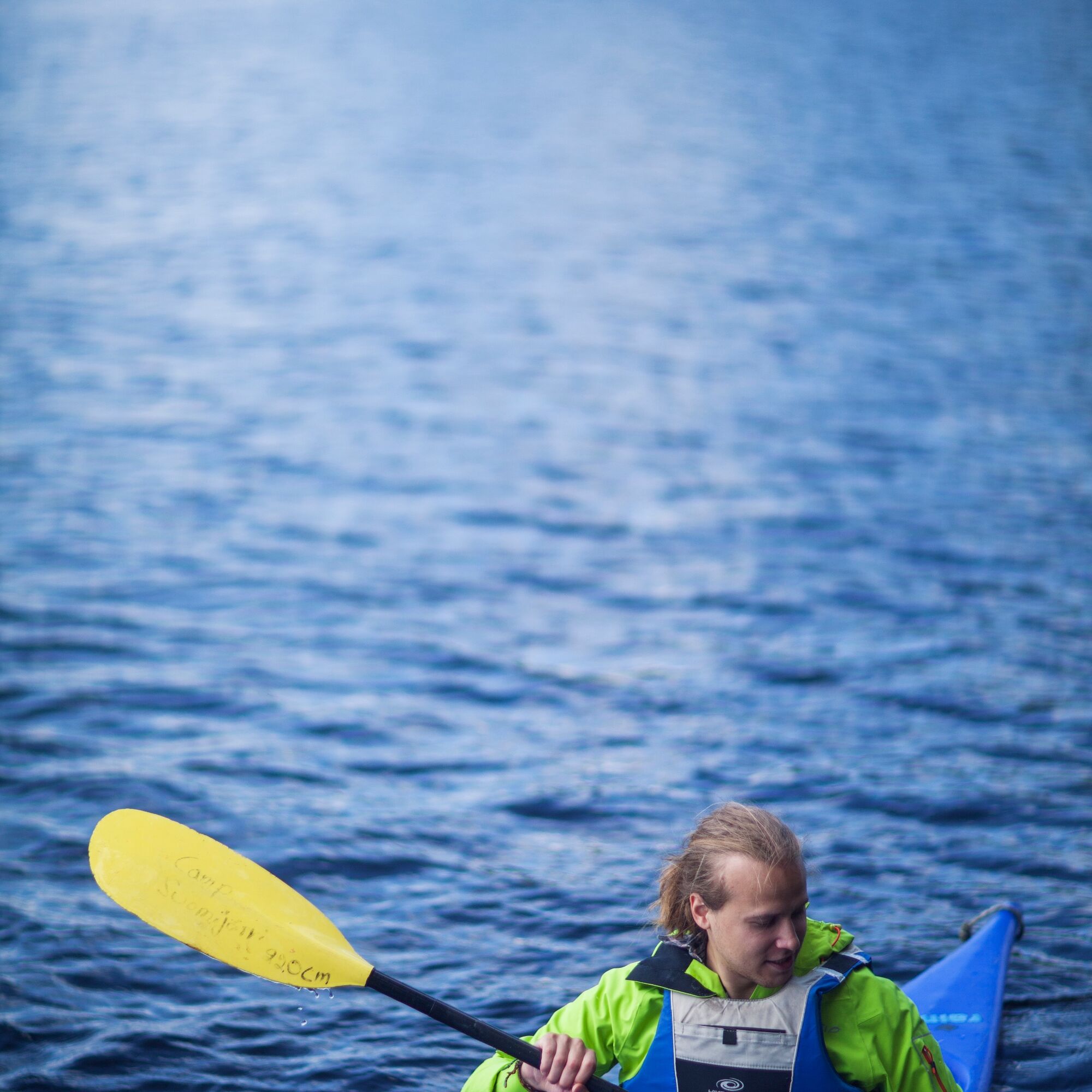

The canoeing route circling Mikonsaari starts from Myllysaari in Lappeenranta, at the Saimaan Latu canoe shed. You can also launch the canoe from nearby Kirkkoherranlahti (dog swimming place).
It is possible to land at Karhusaari on the way out and back, where there is a pier for paddlers. The Mikonsaari circuit can be circled clockwise or counterclockwise; this route instruction describes the clockwise direction.
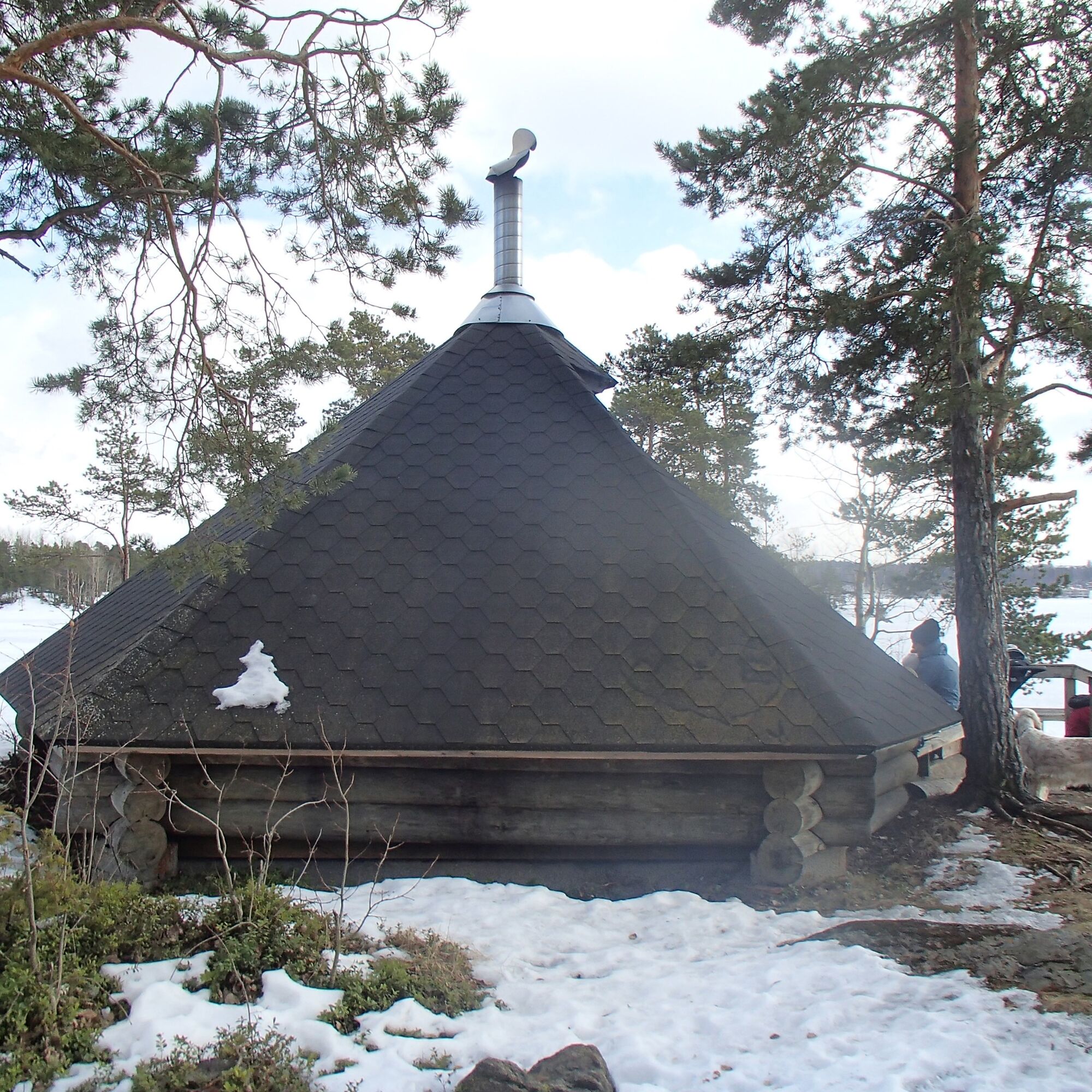
After Karhusaari, the route continues to Mikonsaarenselkä, and paddlers can go ashore at the Kivisalmi beach. From there the route continues north between Heposalo and Ronko islands. On Mikonsaari, it is also possible to land by a laavu on the shore cliffs. Stopping at Marjola is also possible. Finally, head toward the starting point, Myllysaari or Kirkkoherranlahti.
TAKE CARE OF SAFETY! Lappeenranta marina has busy boat and cruise ship traffic. Large cargo ships pass through the deep fairway from the Saimaa canal to factories in the water system. Paddlers must yield to other water traffic and stay outside the fairways near the shore. Also beware of waves caused by large vessels!
Metsähallitus guidelines for safe water hiking
Current warnings on land and sea areas
It is safest to move in a group in the terrain and on the water if you are not familiar with the terrain or water area.
Remember to wear a life jacket.
Before the trip, it is good to check the weather forecasts.
In an emergency, call 112. State your location, what has happened, and listen to instructions.
Starting point: Myllysaari or Kirkkoherranlahti, opposite Lappeenranta harbor.
Coordinates: (61.06908,28.19967)
Address: Myllysaarenpolku, 53100 Lappeenranta
Driving cars in the Myllysaari family park area is allowed only during winter months from about mid-November to mid-April. At other times the gate is closed. Disabled parking permit holders are given the gate key from the sports department if necessary.
Rowers and paddlers are allowed to drive maintenance traffic to the rowing and paddling buildings between mid-April and mid-November from 22:00 to 09:00.
There is no public transport all the way to the starting point of the route at Myllysaari, Lappeenranta.
The nearest local transport stop is at the central hospital, about 1 km from Myllysaari.
Local traffic timetables of Lappeenranta
You can arrive in Lappeenranta by train or bus.
There is parking space near Myllysaari and Kirkkoherranlahti. Cars are not allowed to drive or park at the Saimaan Latu canoe shed in Myllysaari.
There is also a nice nature trail on Mikonsaari that can be circled.
Priljubljeni izleti v okolici
-
4.5
Taipalsaari scenic cycling route
srednjaKolesarjenje 42.7 km -
Mikonsaari nature trail, Lappeenranta
srednjaTematska pot 2.03 km -
Pappilanniemi nature trail, Lappeenranta
srednjaTematska pot 1.78 km -
Saimaa Canal lock route by bike, Lappeenranta
svetlobaKolesarjenje 25.4 km -
Lappeenranta city cycling route
svetlobaKolesarjenje 10.7 km -
Lappeenranta Lakeside route (Rantaraitti), geological trail
svetlobaTematska pot 6.09 km -
Ruohosaari circuit, Lappeenranta
srednjaKajak / Kanu 22.8 km -
Lappeenranta-Imatra border cycling route
težkoKolesarjenje 102.7 km -
Päihäniemi nature trail
srednjaTematska pot 2.87 km -
Hirvisaari route, Lappeenranta
srednjaKajak / Kanu 24.0 km
Pohodništvo in sledenje


Ne zamudite ponudb in navdiha za naslednje počitnice
Vaš e-poštni naslov je bil dodan na poštni seznam.


