







Via Alp Lenges to the Furka Pass
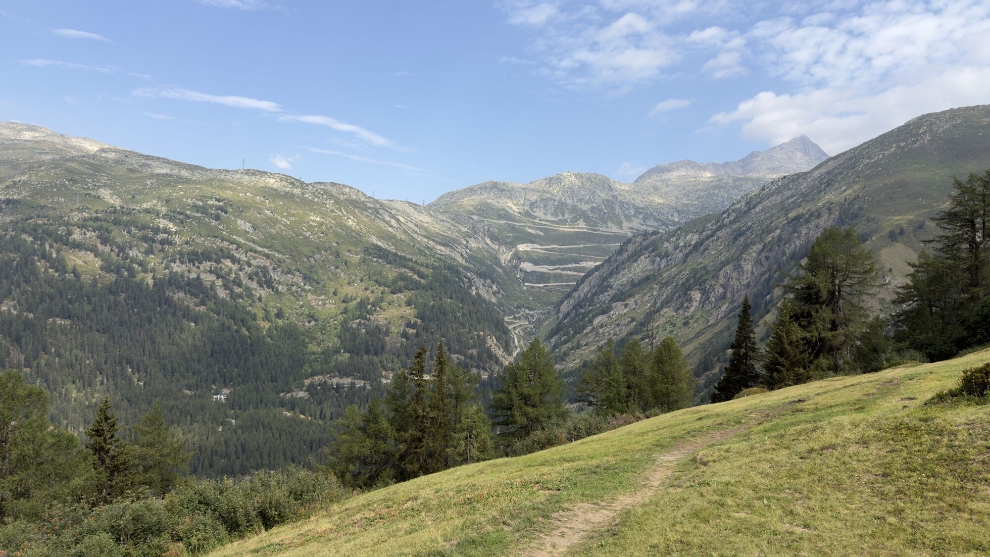
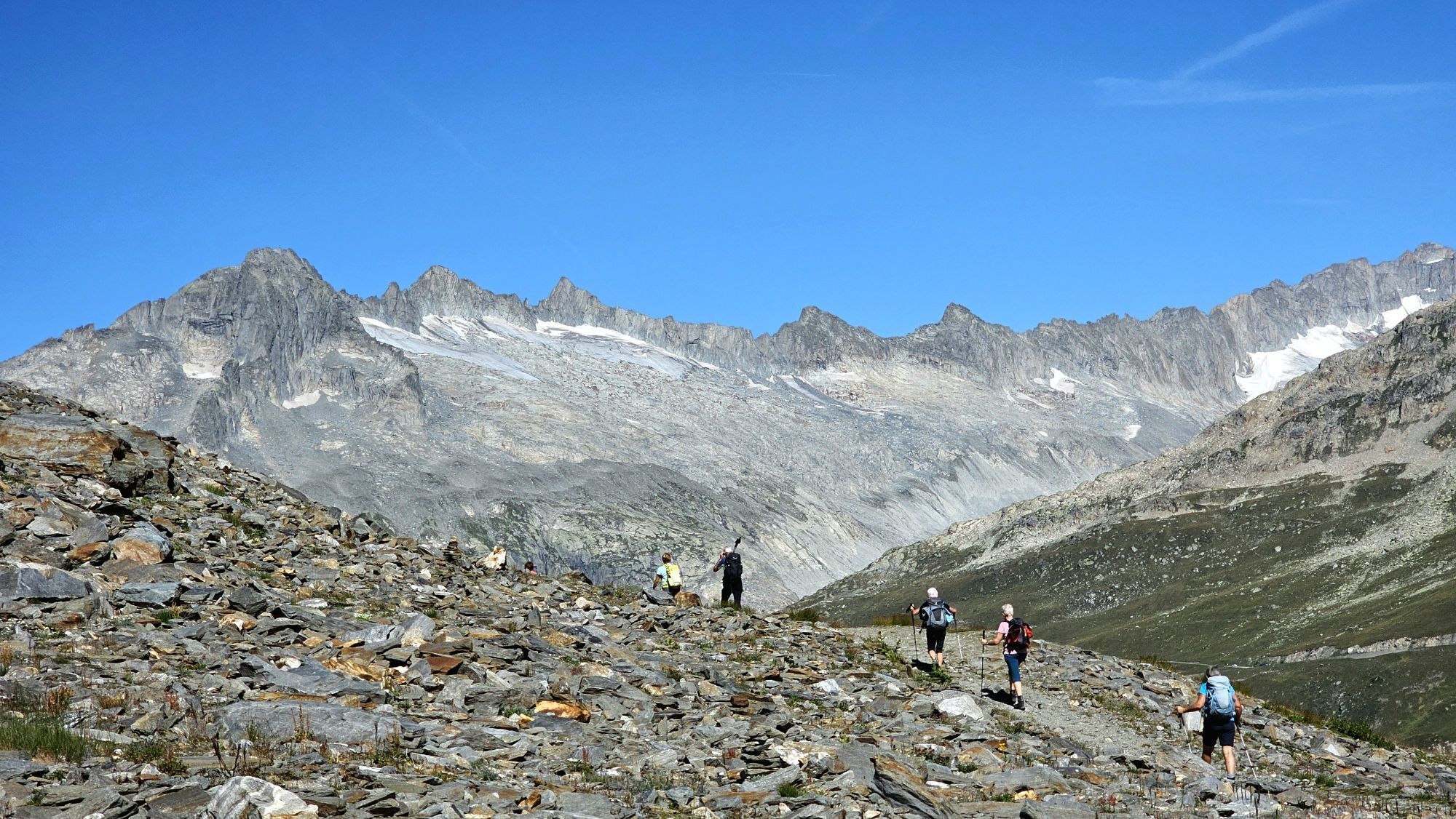
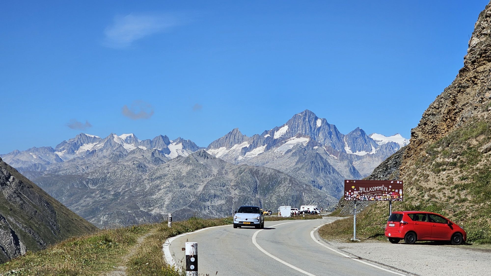
The nice hike to the Furka Pass starts in Oberwald. Passing the mountain village Gere, which used to be independent and even had its own jurisdiction, you finally reach Alp Lenges, where the Oberwald cattle...
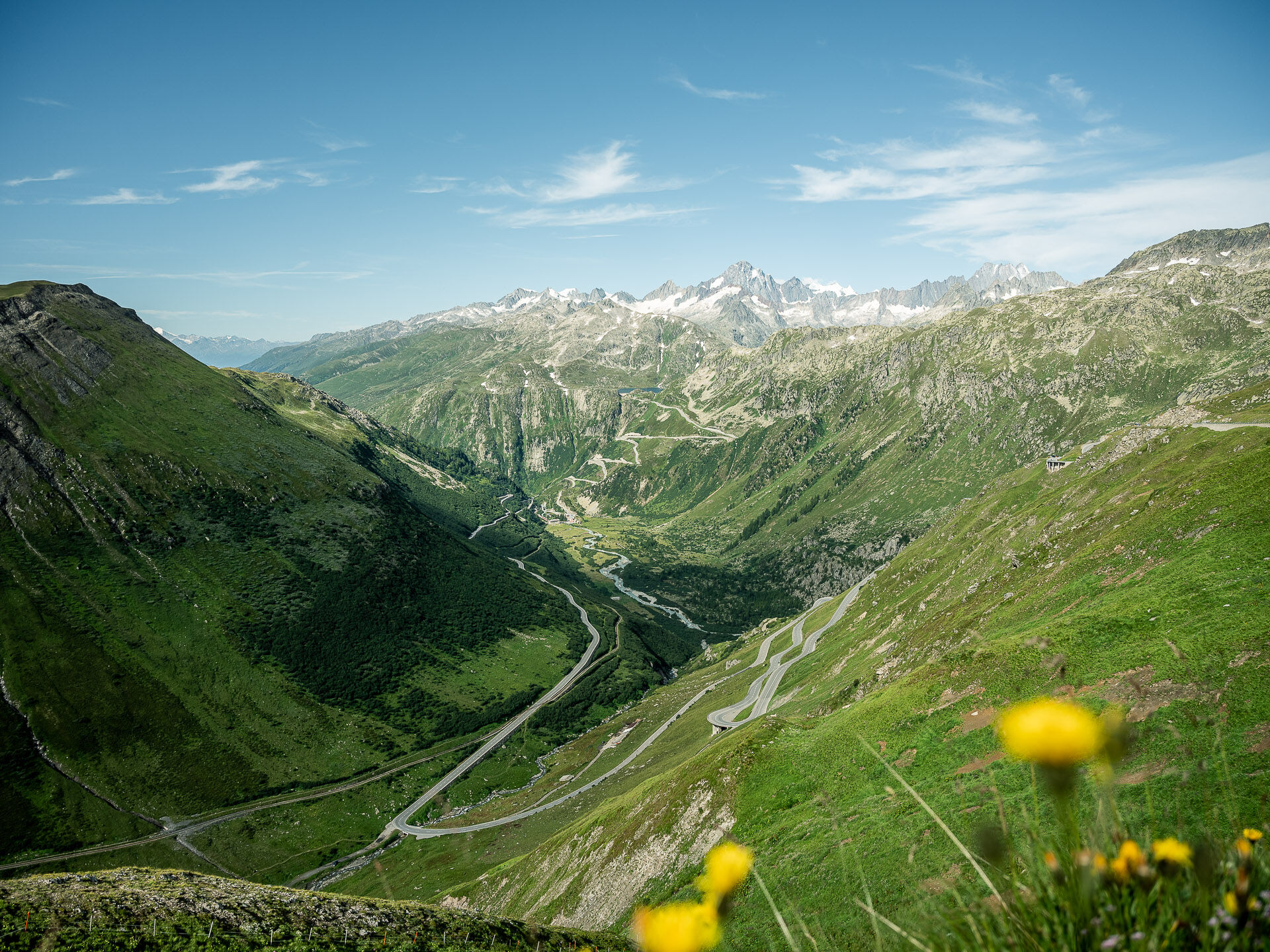
The nice hike to the Furka Pass starts in Oberwald. Passing the mountain village Gere, which used to be independent and even had its own jurisdiction, you finally reach Alp Lenges, where the Oberwald cattle graze. From the elongated mountain ridge Bidmer you enjoy a magnificent mountain panorama with the Rhone Glacier and its extensive valley. The path then leisurely leads you through the galleries of Hirschplatten to the Furka Pass height.
IMPORTANT: The Muttbach bridge (military road Furka Pass towards Tälligrat) can no longer be crossed due to climate change (the foundations of the bridge are shifting). However, a small detour marked with rock cairns can be found on site - so it is possible to cross the creek.

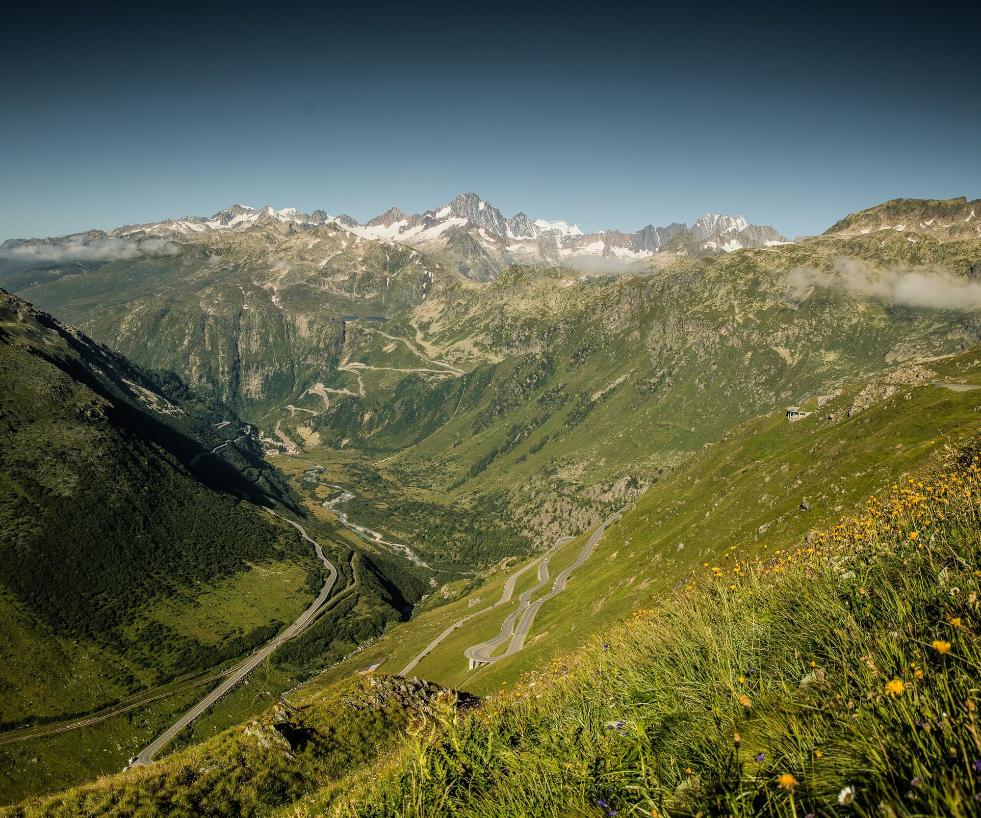
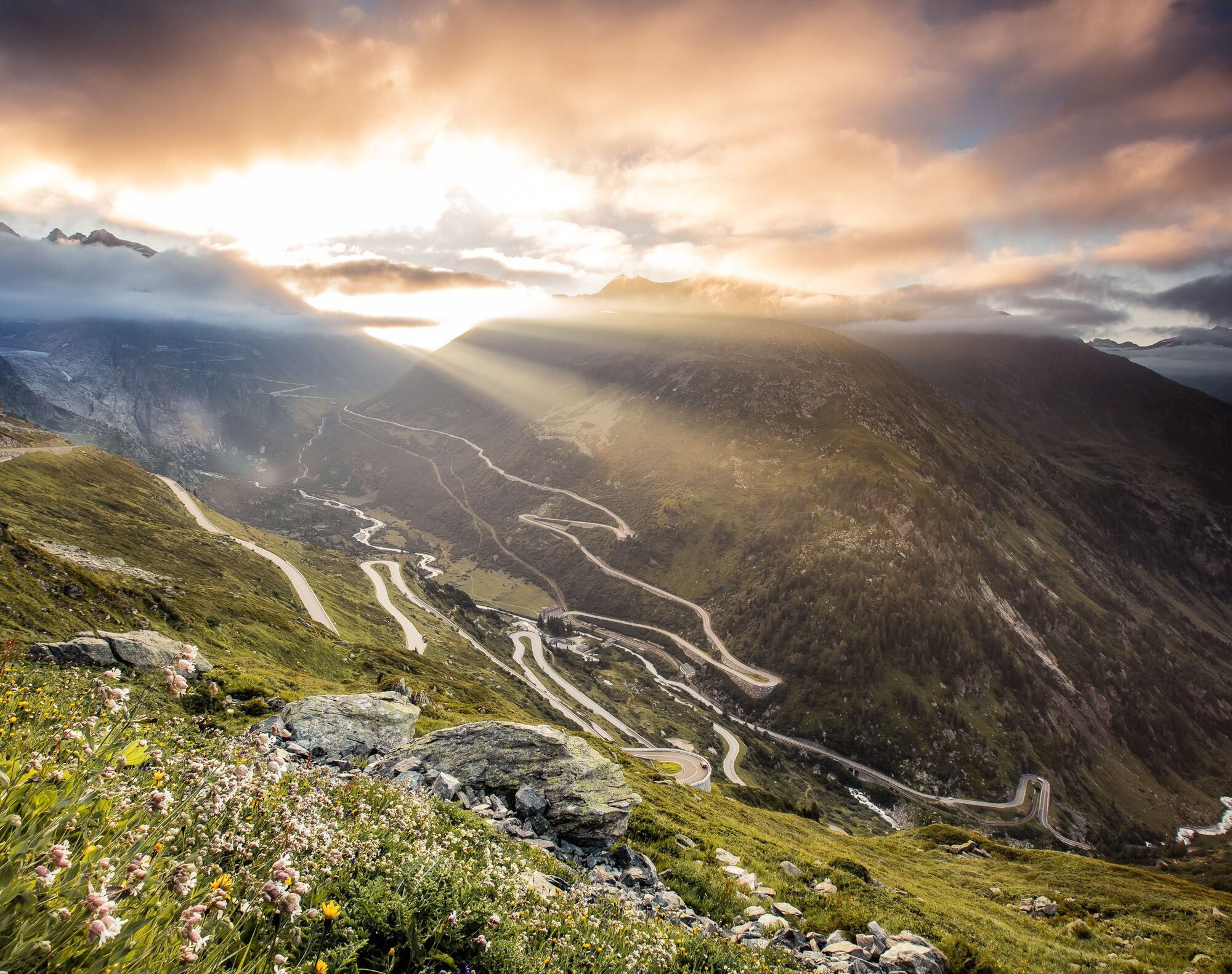
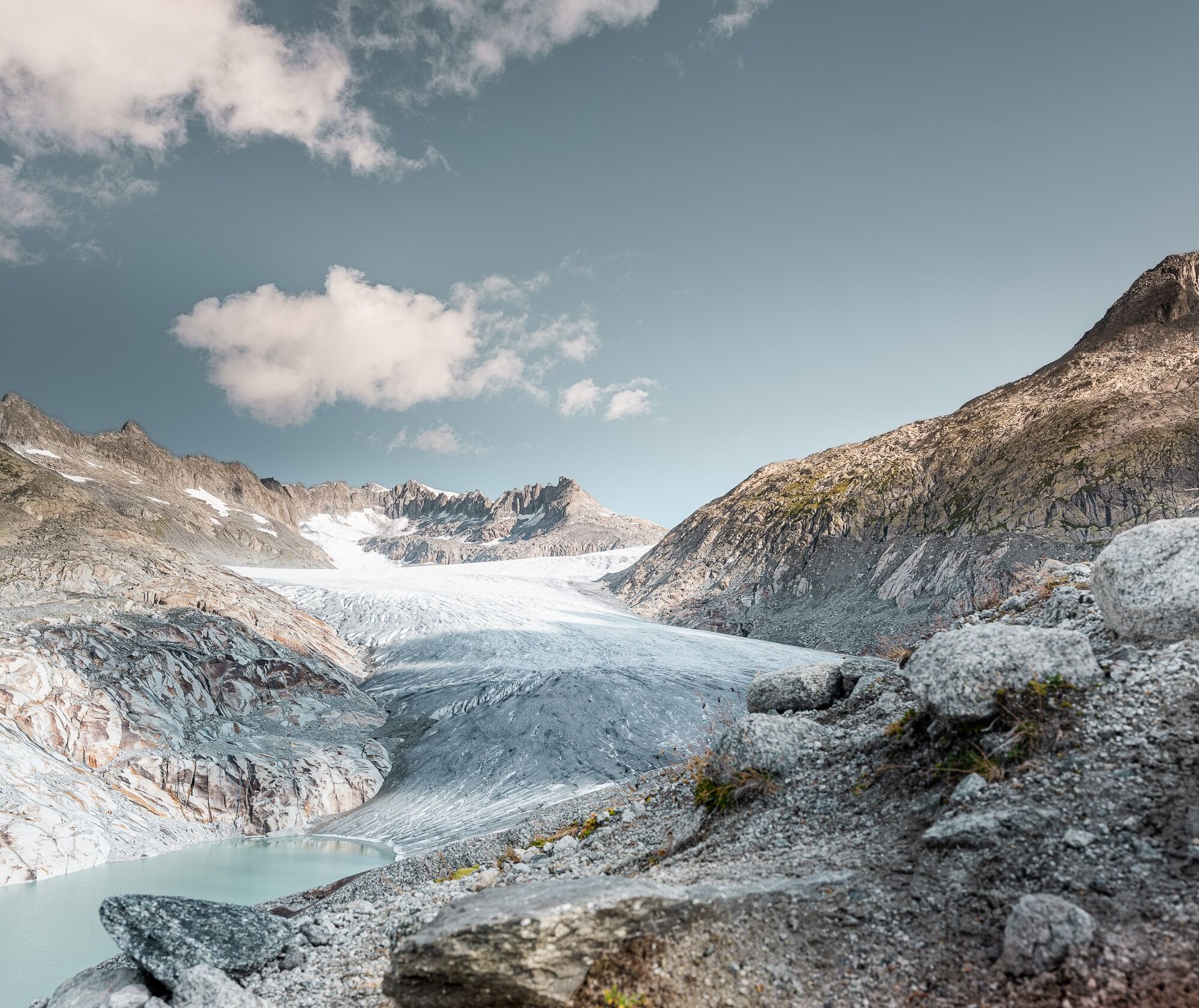
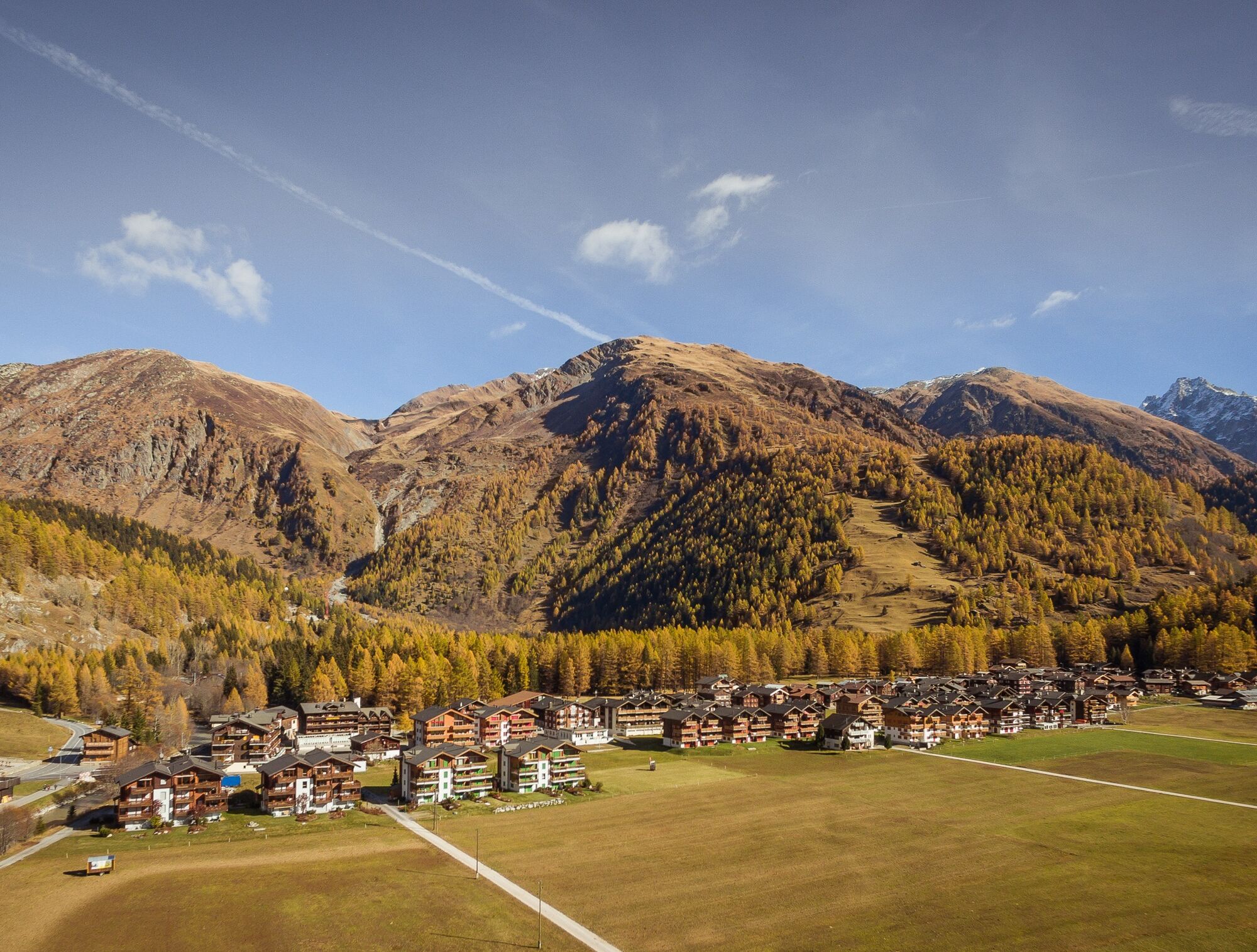

Oberwald - Mountain village Gere - Alp Lenges - Bidmer - Furka Pass height
We recommend:
Good footwear and hiking poles Sun and rain protection as well as warm clothing Detailed map or information material with good route preparation Provisions for your day in the open nature First aid kit and mobile phone for emergenciesUse of the hiking trails is at your own risk. The Obergoms Tourism AG disclaims any liability and assumes no responsibility for the accuracy and completeness of the information on this website.
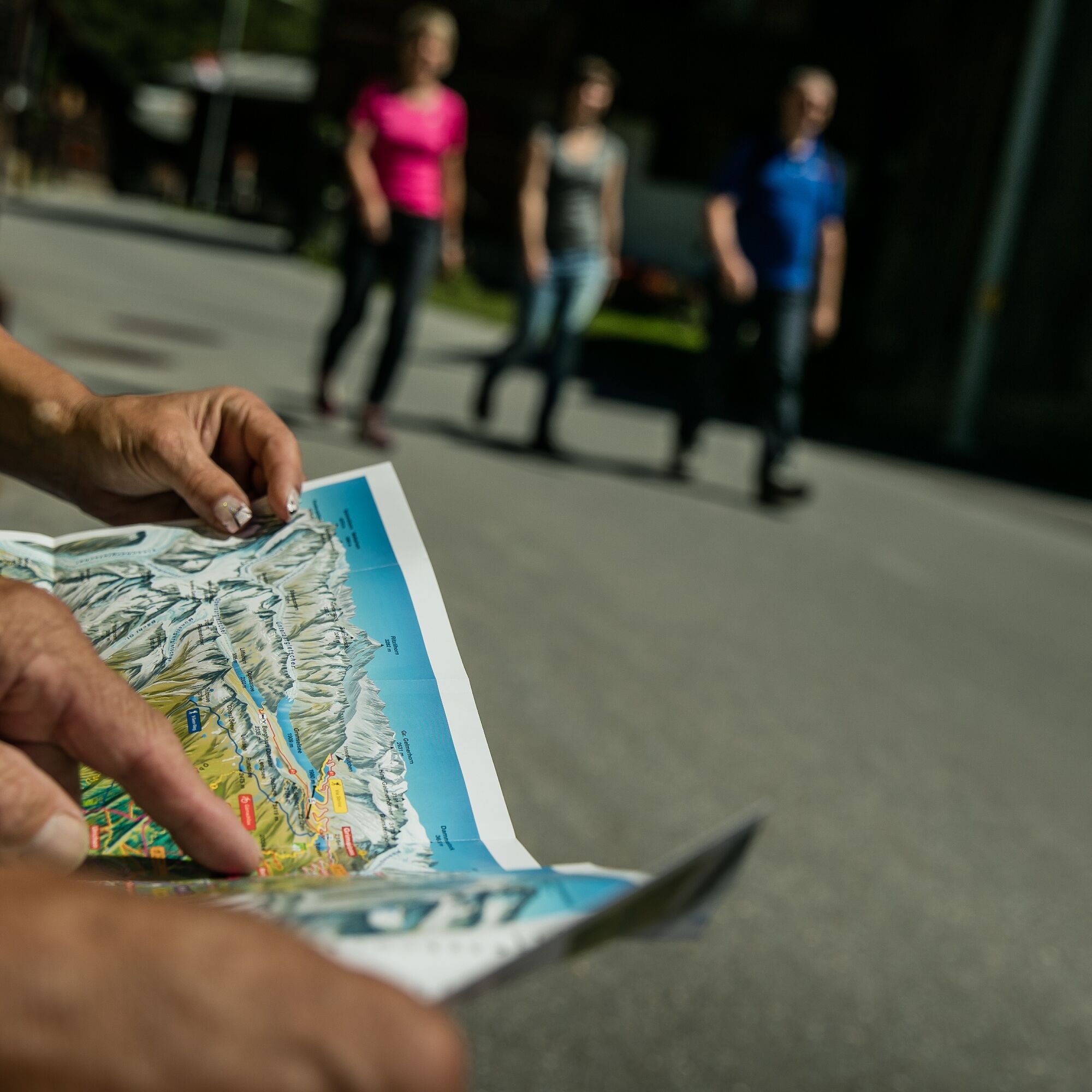
Carry a hiking map with you or download the complete description of the hiking trail with a large-scale map. Use only signposted trails and observe all markings and signs - for your own safety, to protect the landscape and out of respect for wildlife. Be considerate towards other trail users. Take your rubbish and rubbish of others with you.
Weather conditions in the mountains can change very quickly and without warning. Appropriate clothing and sufficient provisions (food and drink) are very important. Turn back early in case of bad weather.
Carry additional sun protection. UV rays at high altitudes can be very strong, even when the sky is overcast.
Plan your route carefully and thoroughly. Get information about the current conditions and weather in advance. The summer report provides valuable information from the region.
From Brig follow Cantonal Road No. 19 (Furka Road) for about 40 km to Oberwald.
The Goms is also well connected from the Zurich / Lucerne region via Andermatt - Furka car shuttle www.matterhorngotthardbahn.ch .
With the regional trains of the Matterhorn Gotthard Railway you get from Brig to Oberwald in 1h 23 min. The Goms is also well accessible from the Zurich / Lucerne region via Andermatt - Furka Base Tunnel.
Timetables for trains and buses can be found at www.sbb.ch.
Public parking spaces are available in the vicinity of the station or in the village of Oberwald. Follow the local parking guidance system for this.
The Gommer Pass of the Matterhorn Gotthard Railway entitles the holder to free travel in 2nd class on the route Oberwald - Fiesch holiday village
Pridobite vpogled
Vedno v živo na mestu z več kot 9.500 spletnimi kamerami. bergfex Kot uporabnik Pro si lahko zdaj ogledate ustrezne spletne kamere za številne izlete v aplikaciji izleti iz. Tako si lahko neposredno ogledate trenutne razmere.
Priljubljeni izleti v okolici
-
5.0
Circular hike from Grimsel Pass - Sidelhorn via Jostsee
srednjaPohodništvo 8.47 km -
4.4
Lakes Orsino, Orsirora and Valletta Route
Pohodništvo 12.8 km -
5.0
9 lake-trail
težkoPohodništvo 17.3 km -
5.0
Gelmersee-Tour
svetlobaPohodništvo 9.03 km -
Furka Pass – Rhone Glacier
svetlobaPohodništvo 3.59 km -
4.8
Ciaspolata al Rifugio Maria Luisa
srednjaSnežni čevlji 11.2 km -
3.5
Circular hike Furka Pass-Tällistock
srednjaPohodništvo 11.0 km -
Via Alta Vallemaggia
težkoPohodništvo 169.7 km -
5.0
Um den Gelmersee zur Gelmerhütte
srednjaPohodništvo 9.30 km -
von Albert-Heim-Hütte via Nepali Highway und Sidelenhütte nach Furkapass
težkoPohodništvo v daljavo 8.40 km

Pohodništvo in sledenje


Ne zamudite ponudb in navdiha za naslednje počitnice
Vaš e-poštni naslov je bil dodan na poštni seznam.





