







9 lake-trail
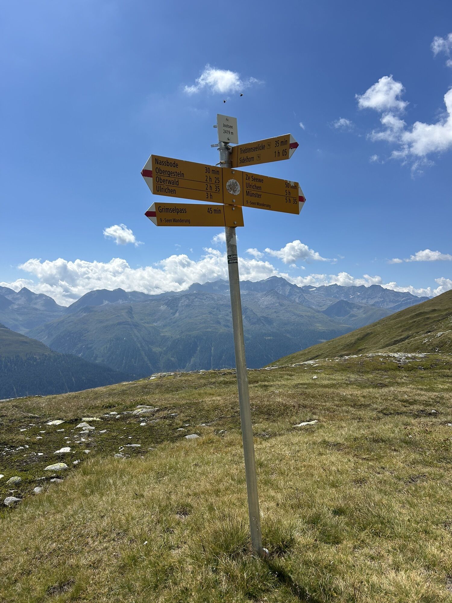
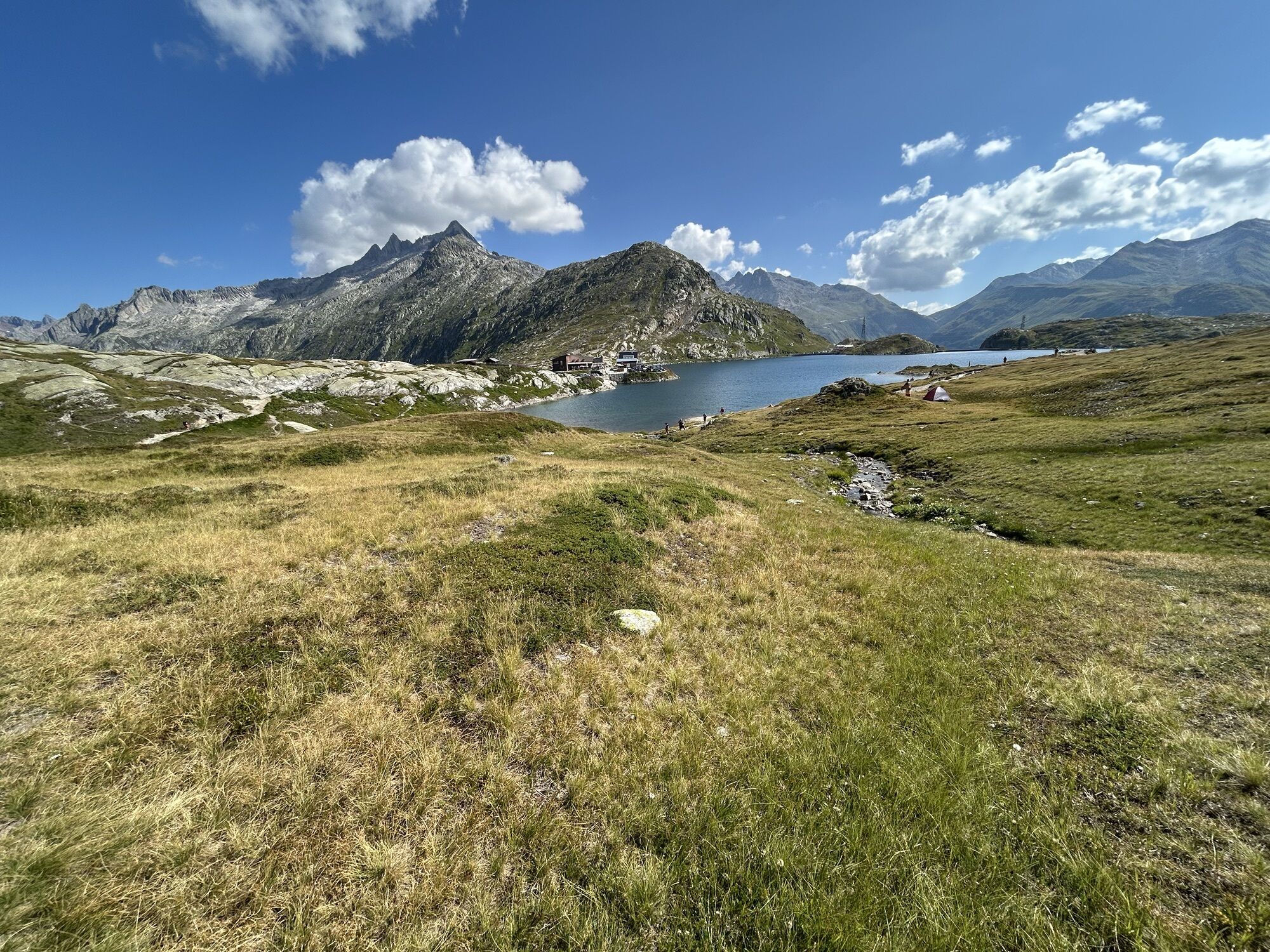
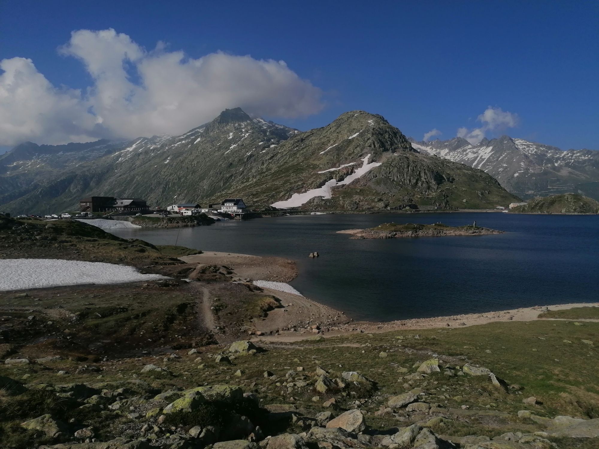
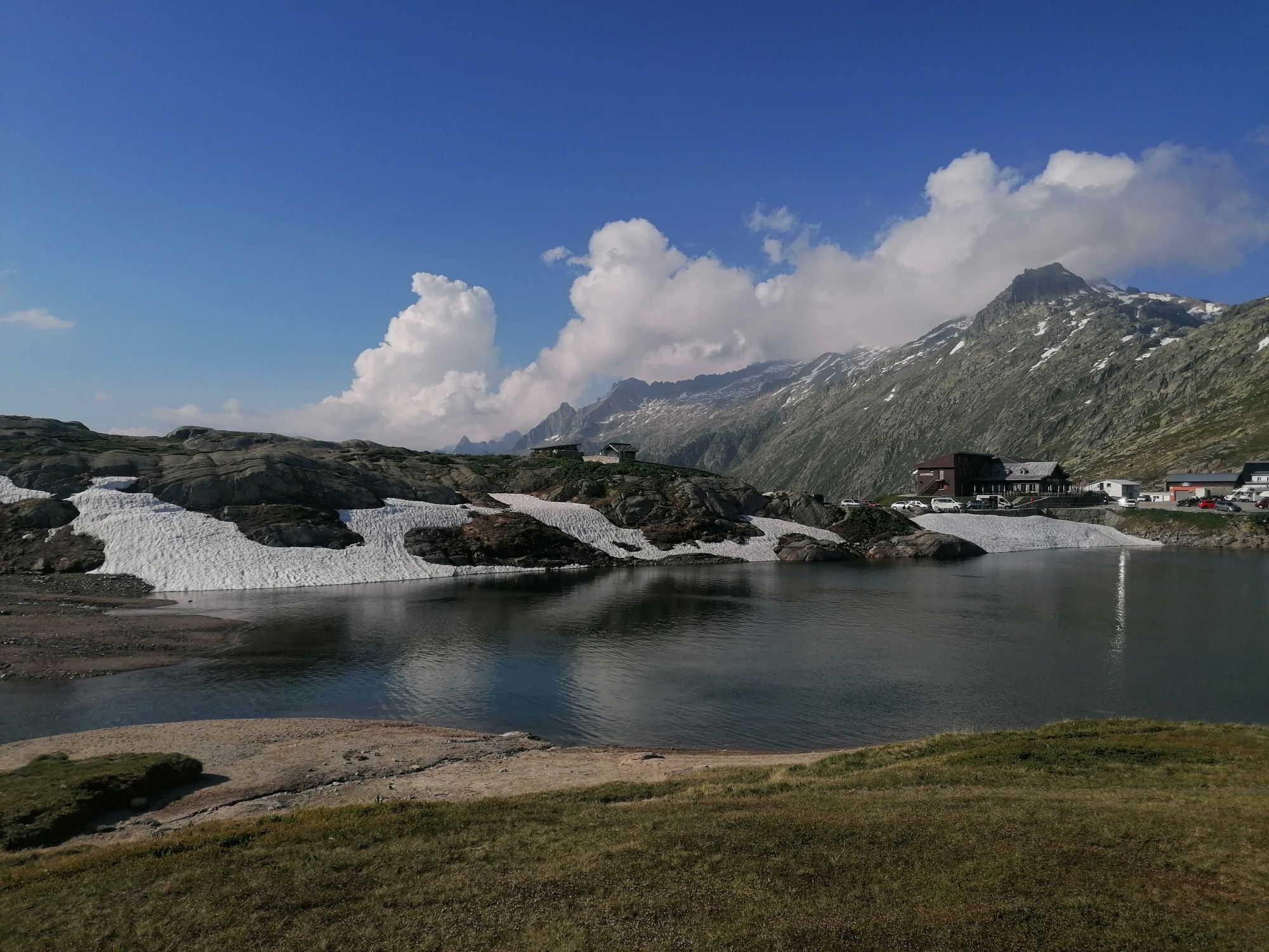
For those who like it a little more demanding, we recommend the 9 lakes trail. With the effort, however, the scenic beauty also increases. Far above the valley, the 9 Lakes Trail leads from the Grimsel...
For those who like it a little more demanding, we recommend the 9 lakes trail. With the effort, however, the scenic beauty also increases. Far above the valley, the 9 Lakes Trail leads from the Grimsel Pass over a path with alpine character to the Trützisee and from there down to Geschinen. In addition to tremendous views of the mountain landscape, this hike is characterized above all by its 9 magnificent mountain lakes! Due to its length and the demanding route, the 9 Lakes Trail is recommended for more experienced mountain hikers.

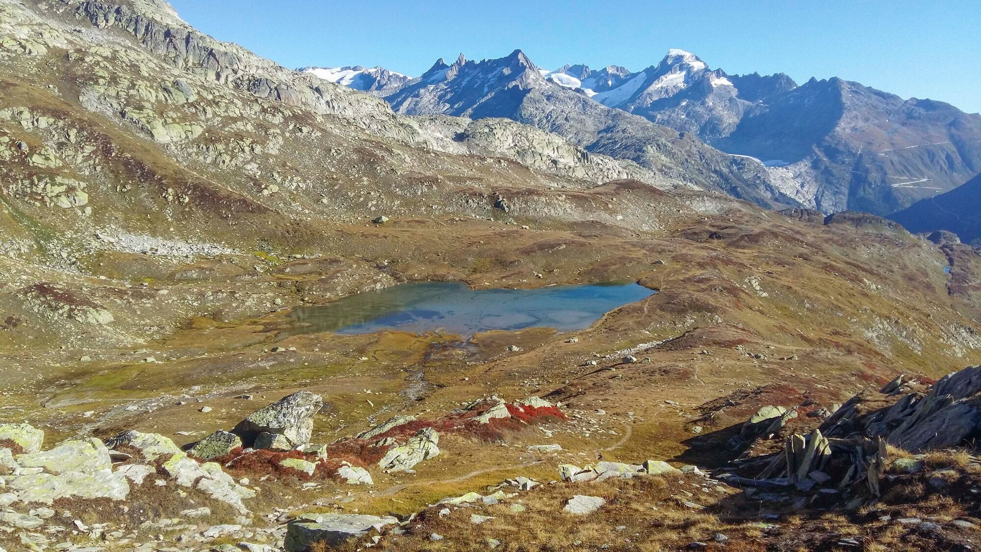
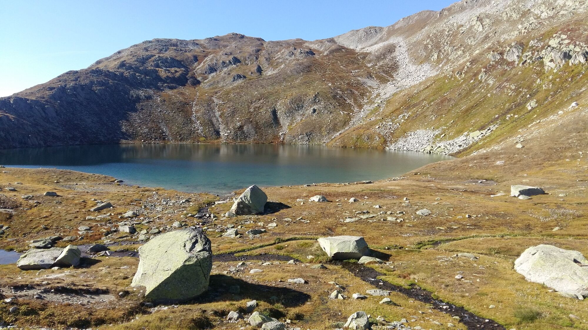
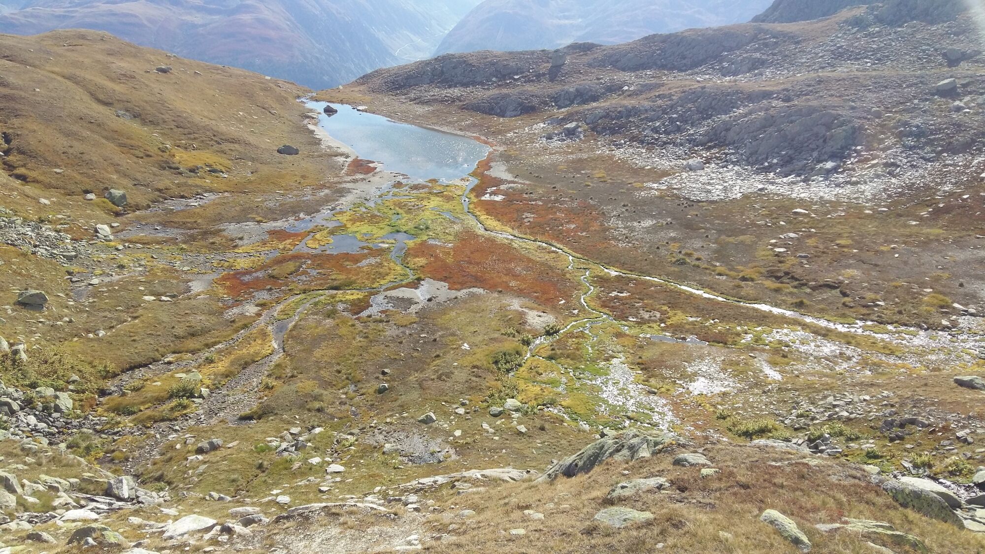
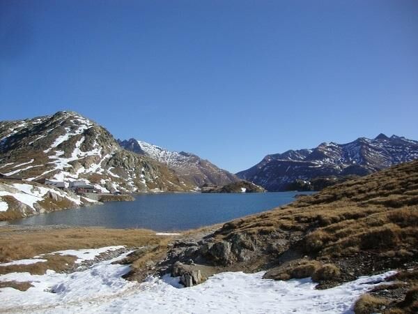
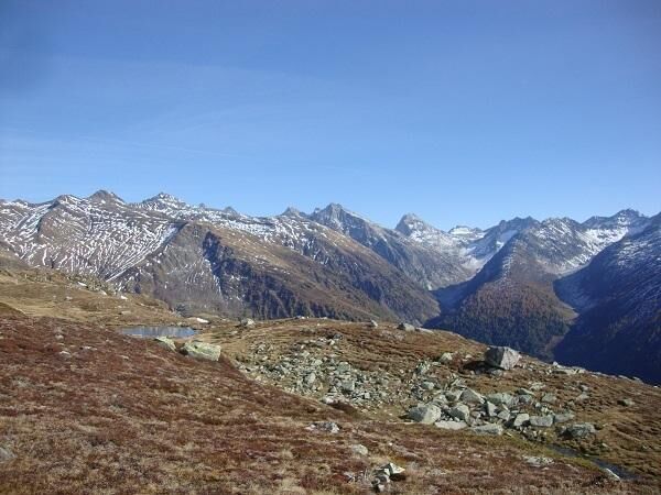
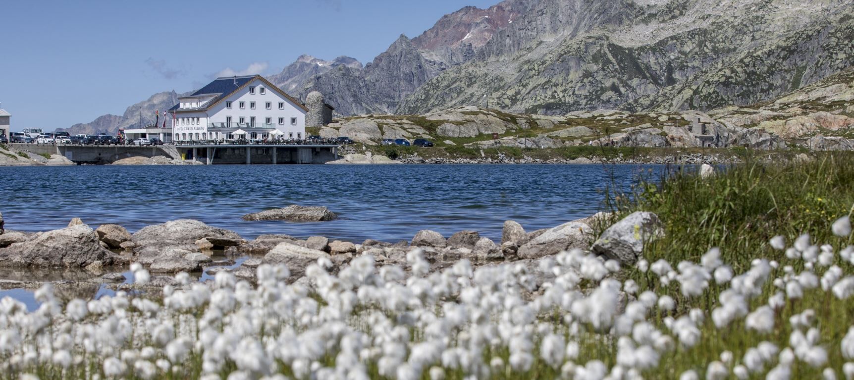

The picturesque Totensee lies directly at the Grimsel Pass. From there we hike in western direction to the Jostsee and past the Lengsee to the Rundsee. While the hiking trail now leads down to the valley, we turn right and continue hiking for a while in the floodplain on the plateau. Our path leads past the Üelisee, between Oberst Seewji and Mittelsee to the Trützisee. Then we descend on a path along the Geschinerbach to Geschinen, where our hike ends at the train station.
We recommend:
Good footwear and walking sticks
Sun and rain protection and warm clothing
Detailed map or information material with good tour preparation
Provisions for your day in the great outdoors
Pocket pharmacy and mobile phone for emergencies
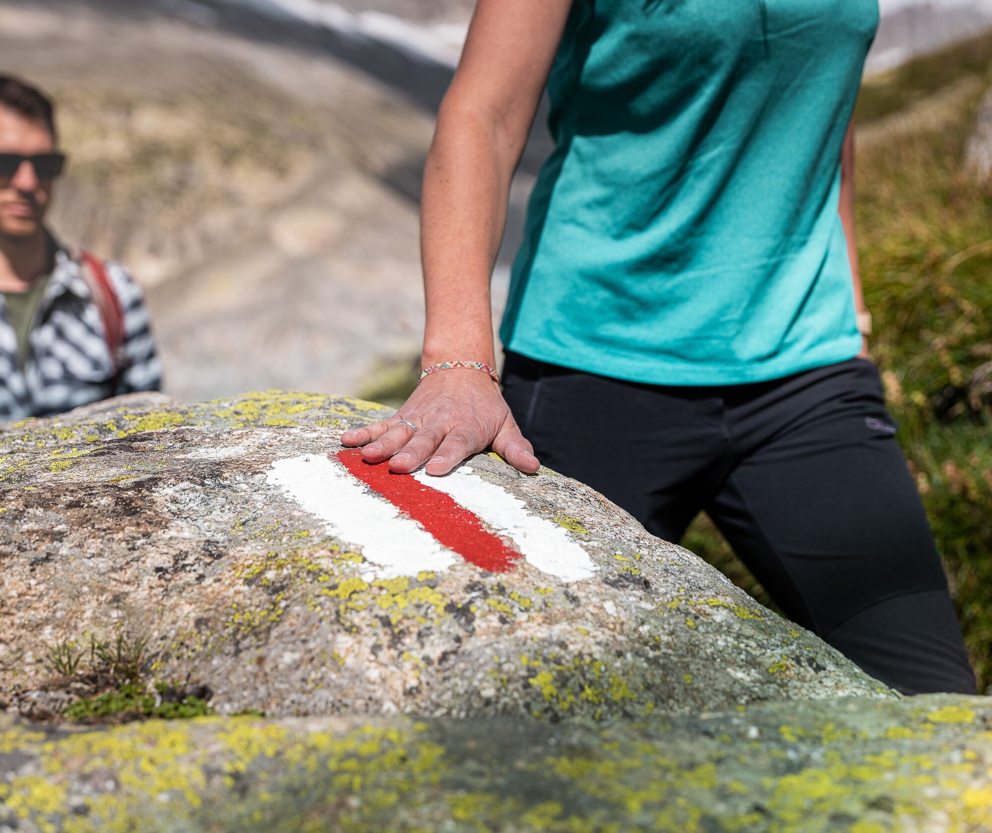
Take a map with you or download the complete description of the route with a large-scale map. Use only signposted paths and observe all markings and signs - for your own safety, for the protection of the landscape and in respect for wildlife. Be considerate of other users. Take your rubbish and that of others with you.
Weather conditions in the mountains can change very quickly and without warning. Adequate clothing and provisions (food and drink) are very important. If the weather is unstable, it is better to turn around early.
Carry additional sun protection with you. UV rays at high altitudes can be very strong, even when the sky is overcast.
Plan your tour carefully and in detail. Inform yourself in advance about the current conditions and weather conditions. The summer report provides you with valuable information from the region.
The Goms valley is also easily accessible from direction Zurich / Lucerne via Andermatt – car transport Furka www.matterhorngotthardbahn.ch.
The timetables for all trains and busses can be found at www.sbb.ch.
In Oberwald, change to the PostAuto Grimselpass-Linie to the stop Grimsel Passhöhe.
The return journey from Ladstafel to Ulrichen, train station is by PostBus.
Parking at the Grimsel Pass
www.goms.ch/en/summer-sports-report
Time table: www.sbb.ch
Telephone number of rescue service: 144
Instead of going to the Geschinen station, you can also take the trail down to Ulrichen.
 Pridobite vpogled
Vedno v živo na mestu z več kot 9.500 spletnimi kamerami. bergfex Kot uporabnik Pro si lahko zdaj ogledate ustrezne spletne kamere za številne izlete v aplikaciji izleti iz. Tako si lahko neposredno ogledate trenutne razmere.
Pridobite vpogled
Vedno v živo na mestu z več kot 9.500 spletnimi kamerami. bergfex Kot uporabnik Pro si lahko zdaj ogledate ustrezne spletne kamere za številne izlete v aplikaciji izleti iz. Tako si lahko neposredno ogledate trenutne razmere.

Priljubljeni izleti v okolici
-
5.0
Circular hike from Grimsel Pass - Sidelhorn via Jostsee
srednjaPohodništvo 8.47 km -
5.0
Gelmersee-Tour
svetlobaPohodništvo 9.03 km -
Furka Pass – Rhone Glacier
svetlobaPohodništvo 3.59 km -
3.5
Circular hike Furka Pass-Tällistock
srednjaPohodništvo 11.0 km -
5.0
Um den Gelmersee zur Gelmerhütte
srednjaPohodništvo 9.30 km -
5.0
Sidelenhütte
svetlobaPohodništvo 3.39 km -
4.5
Hike to the Glacier View in Bellwald
srednjaPohodništvo 8.86 km -
4.5
Anstieg Gaulihutte Urbachtal
srednjaPohodništvo 8.61 km -
5.0
Pfingstegg - Bäregg - Schreckhornhütte SAC
težkoGorski pohodništvo 16.5 km -
5.0
Cycling pleasure on the Rottenweg
svetlobaKolesarjenje 25.0 km
Pohodništvo in sledenje


Ne zamudite ponudb in navdiha za naslednje počitnice
Vaš e-poštni naslov je bil dodan na poštni seznam.





