







Circular hike from Grimsel Pass - Sidelhorn via Jostsee
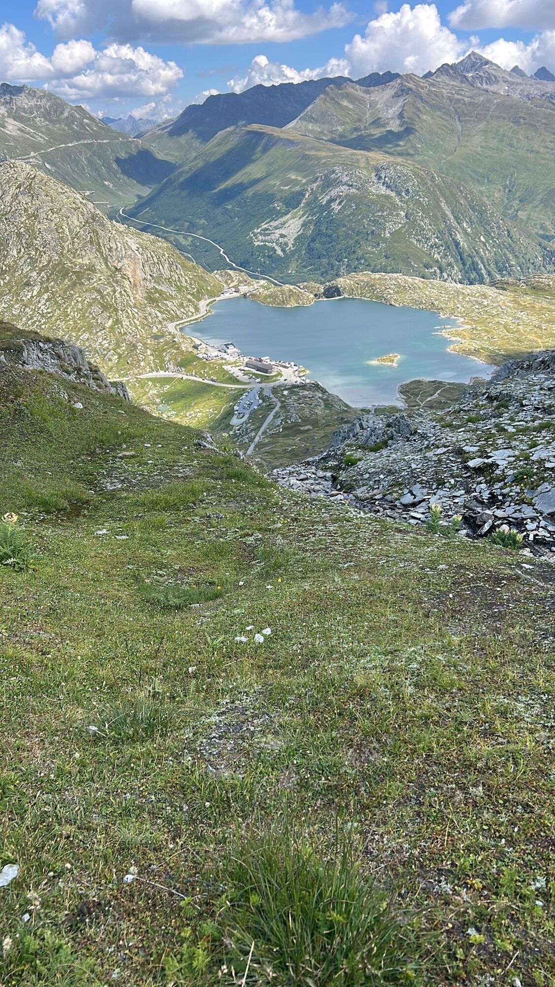
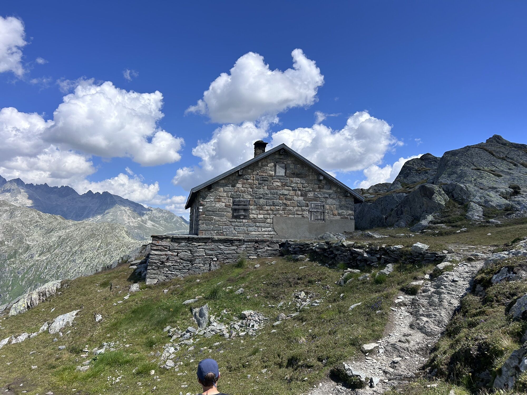
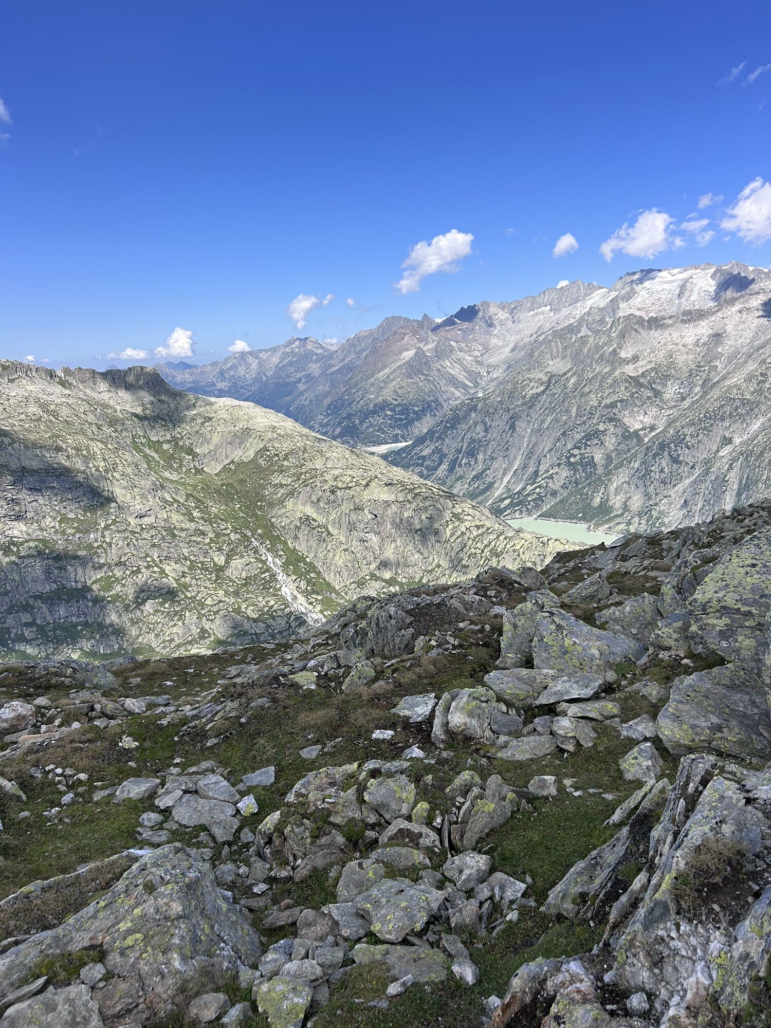
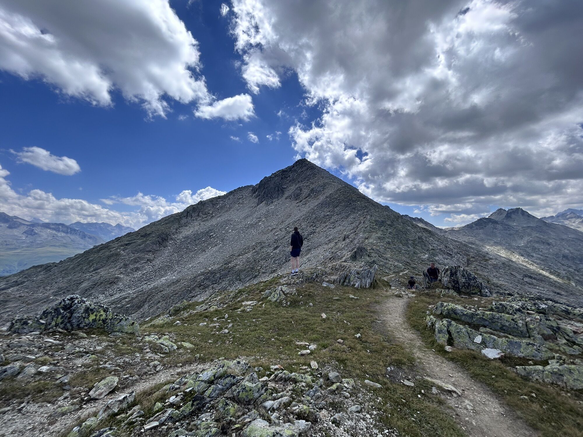
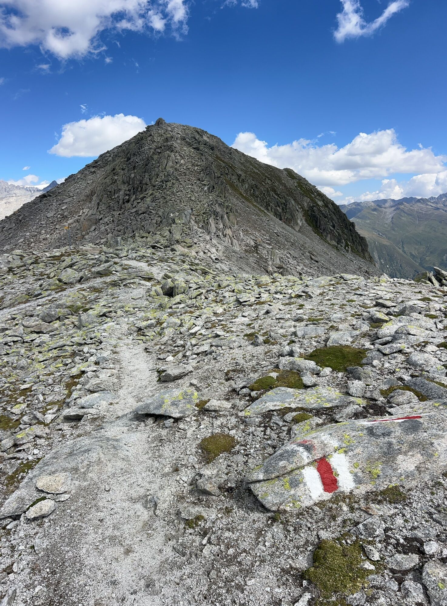
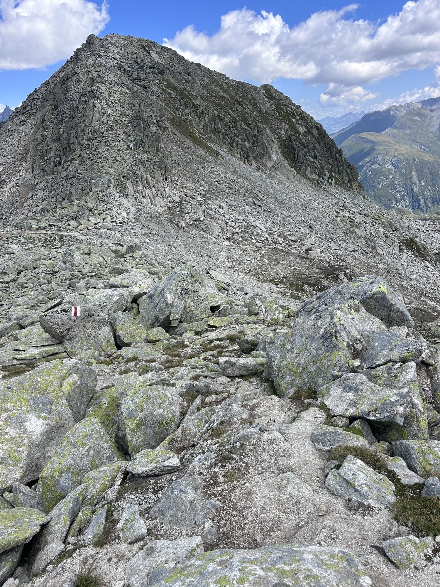
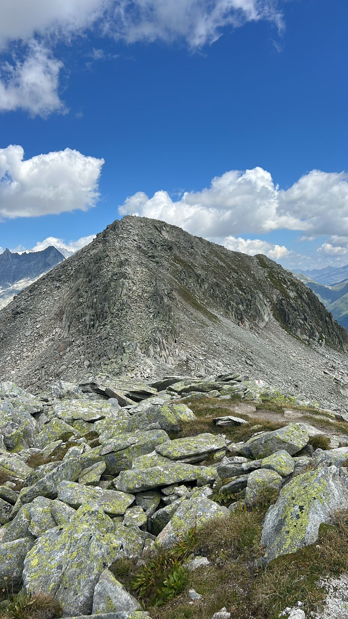
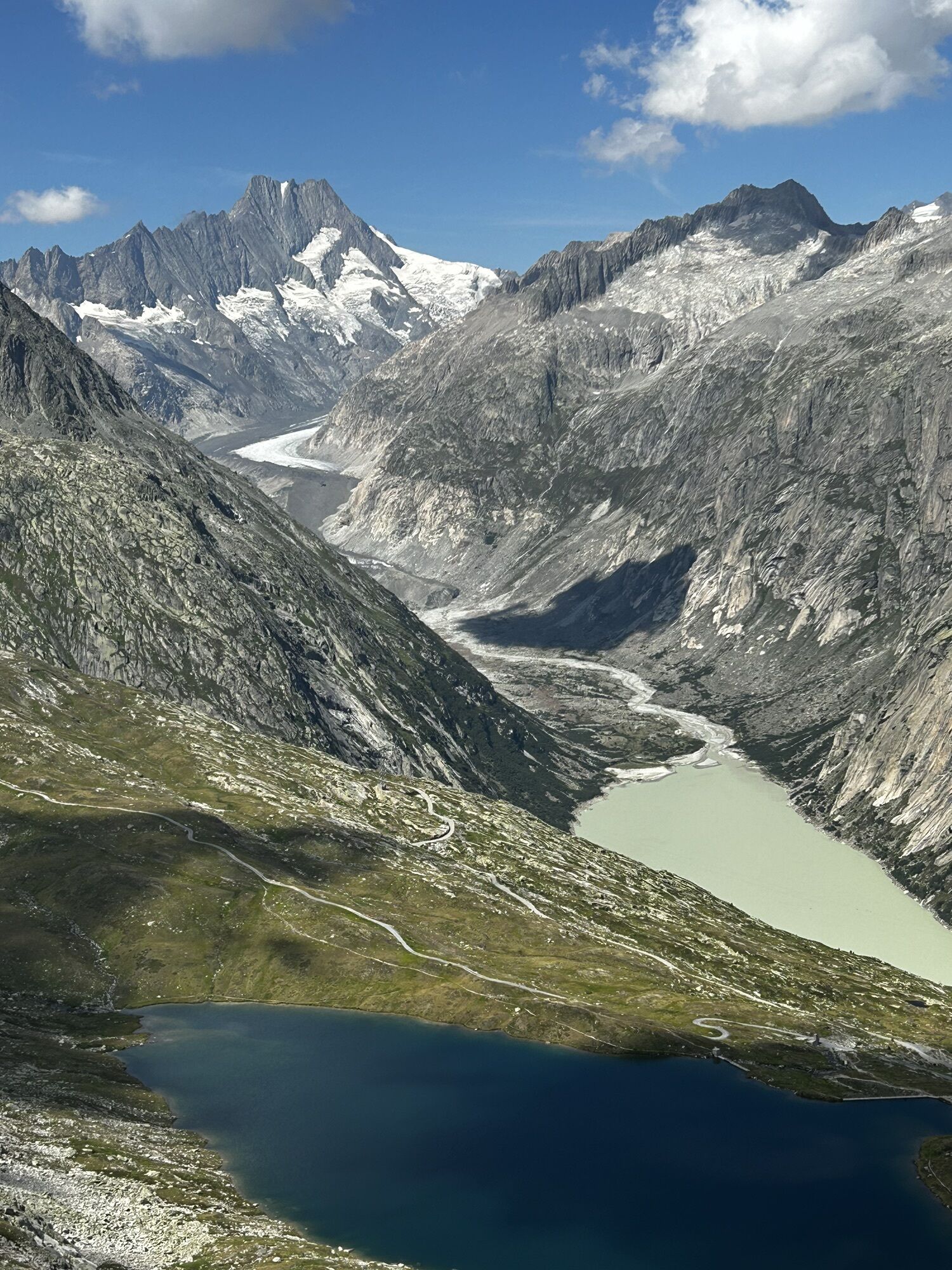
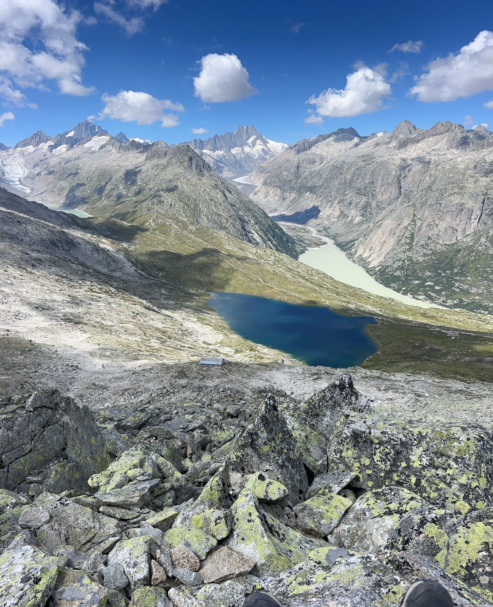
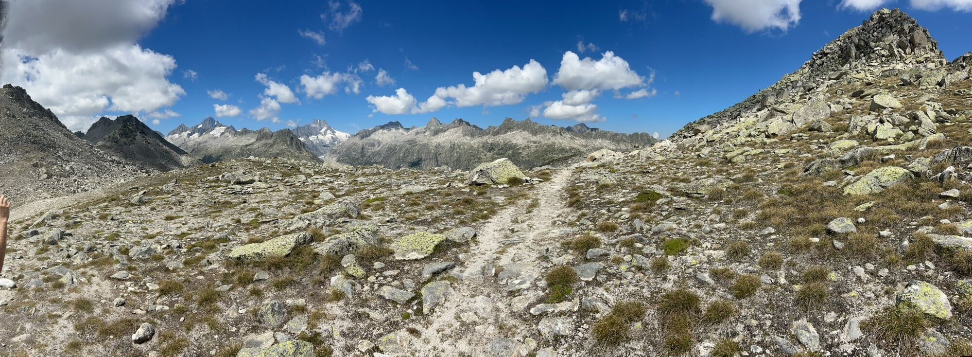
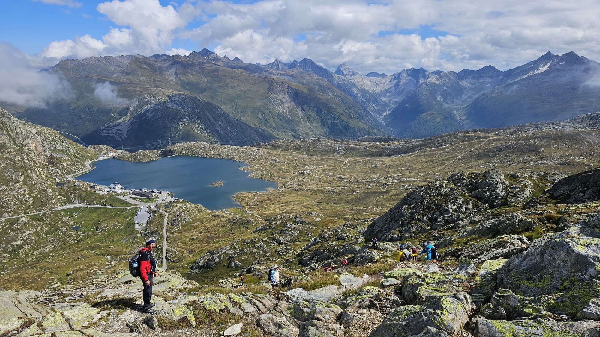
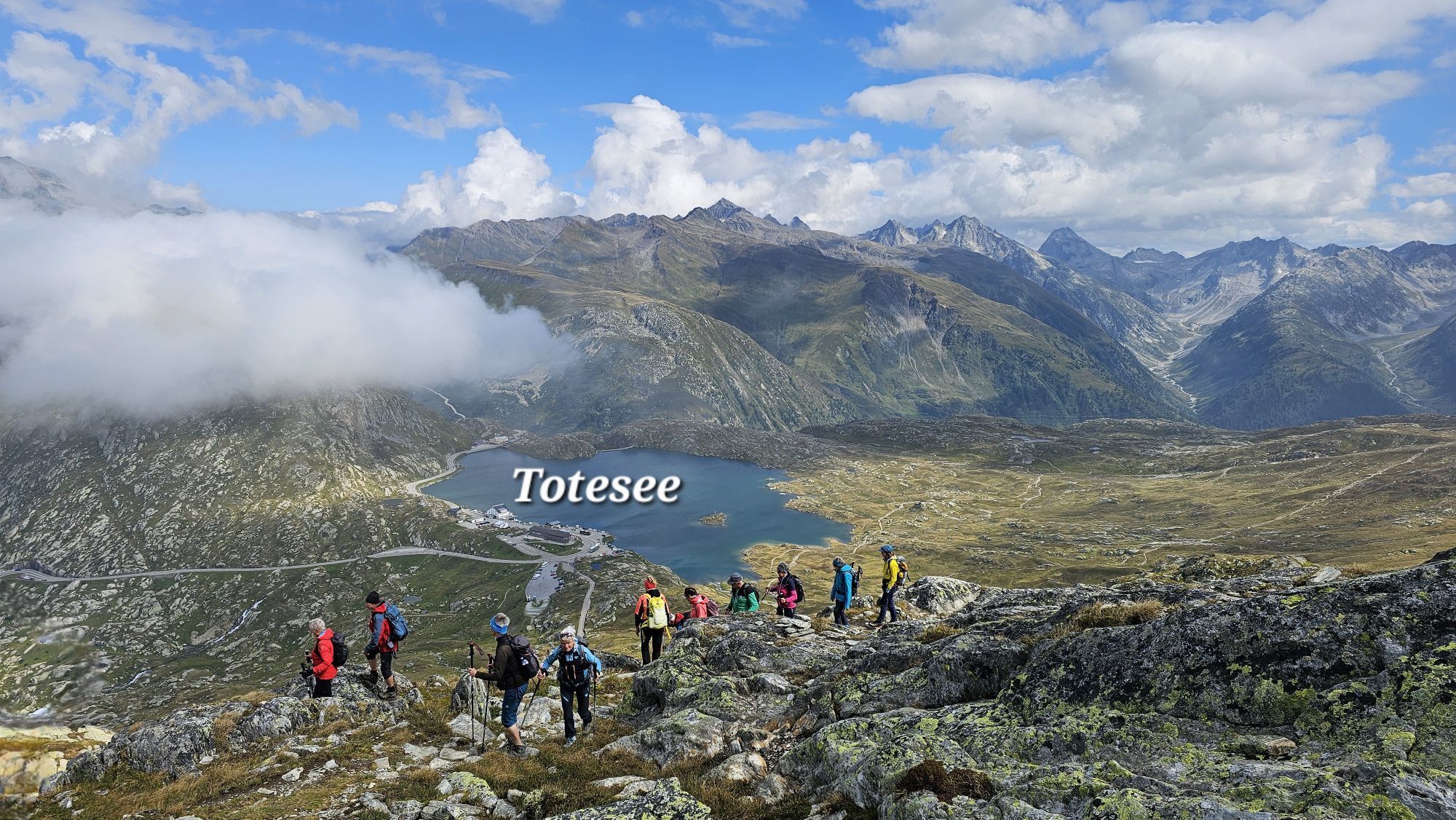
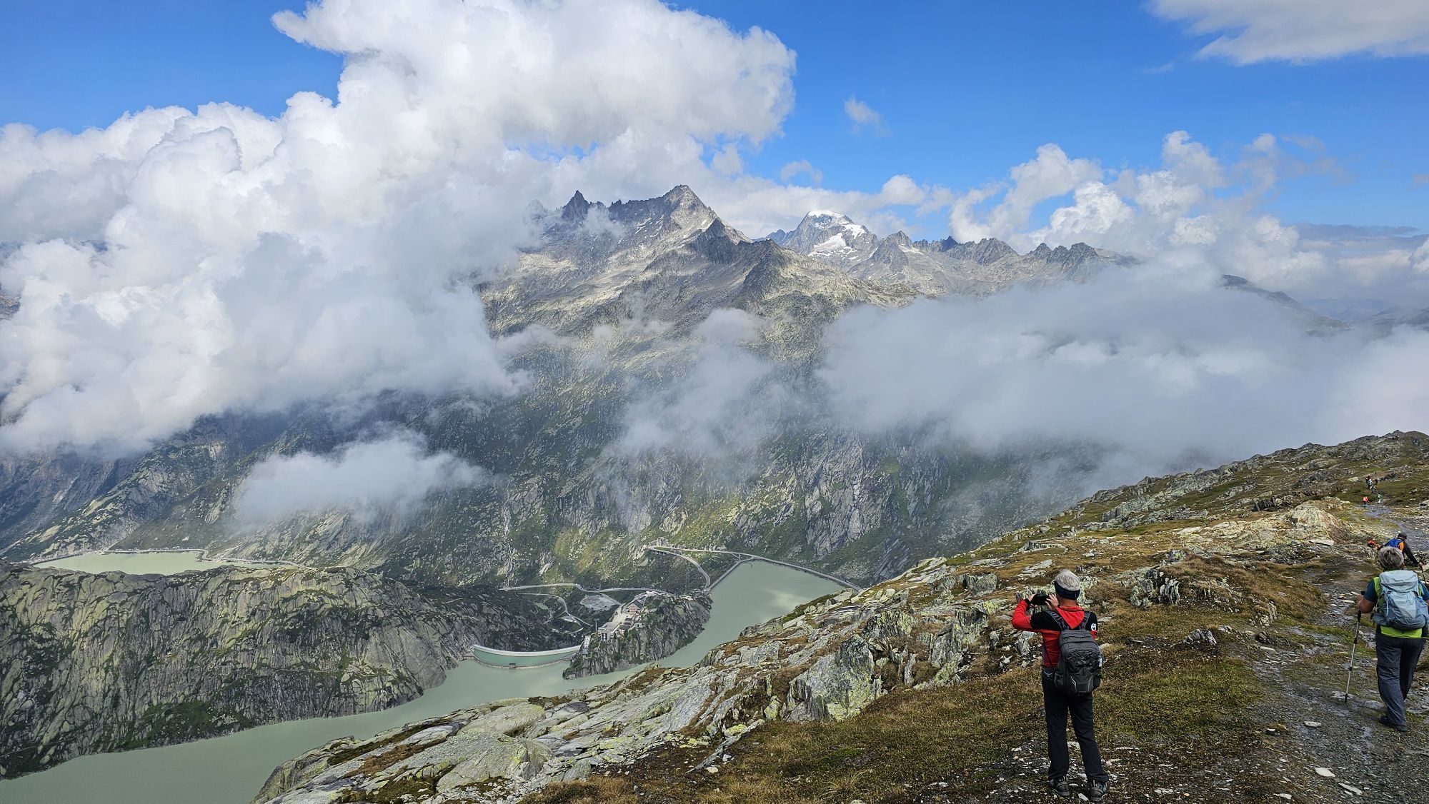
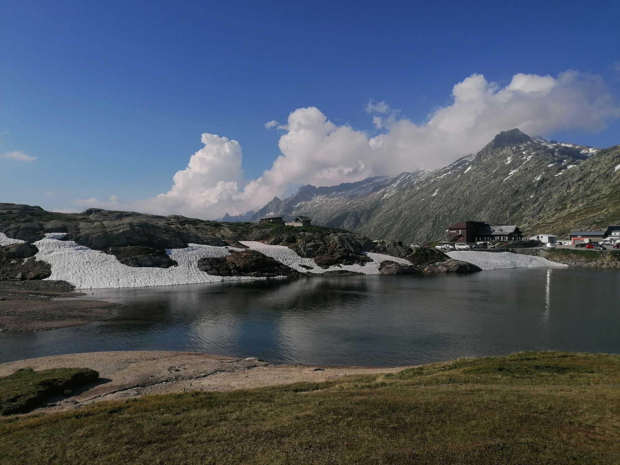
The alpine circular hike leads to a viewpoint summit with far-reaching views of the Valais 4000-meter peaks and the impressive Grimsel massif with its glaciers and reservoirs.
The first part of the route...
The alpine circular hike leads to a viewpoint summit with far-reaching views of the Valais 4000-meter peaks and the impressive Grimsel massif with its glaciers and reservoirs.
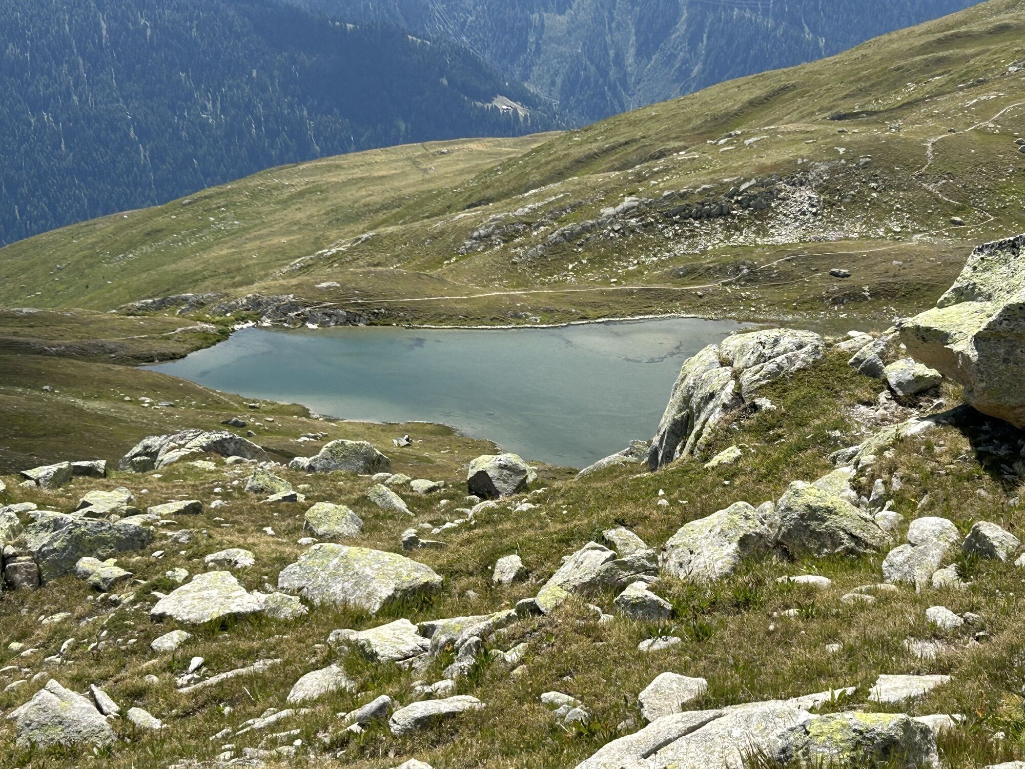
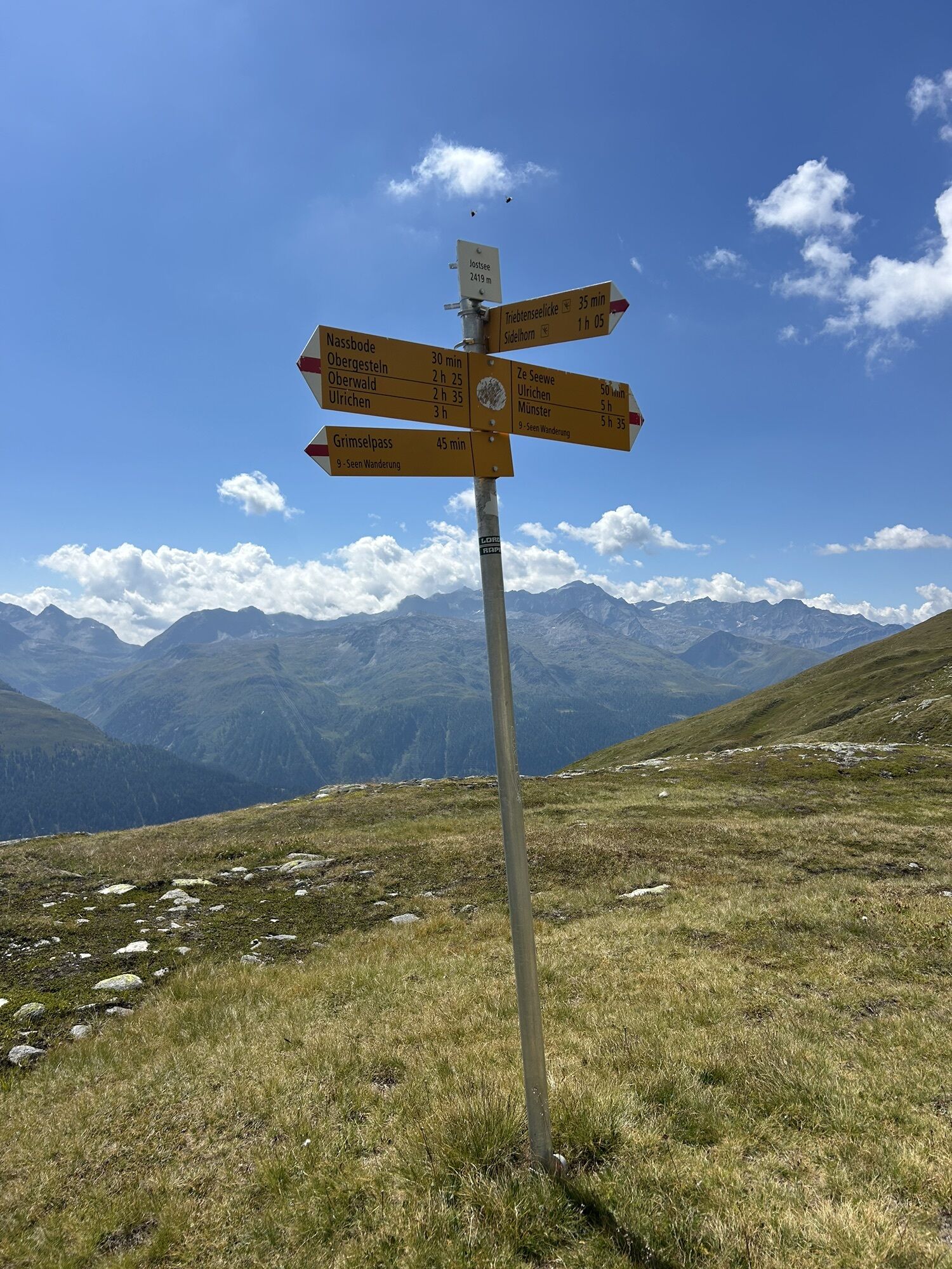
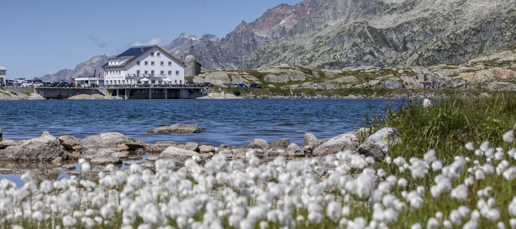
The first part of the route resembles a high-altitude hike starting from Grimsel Passhöhe. Past the legendary Totesee, the trail leads to the idyllic Jostsee. From here it goes uphill towards Triebtenseelicke, which marks the cantonal border to Bern.
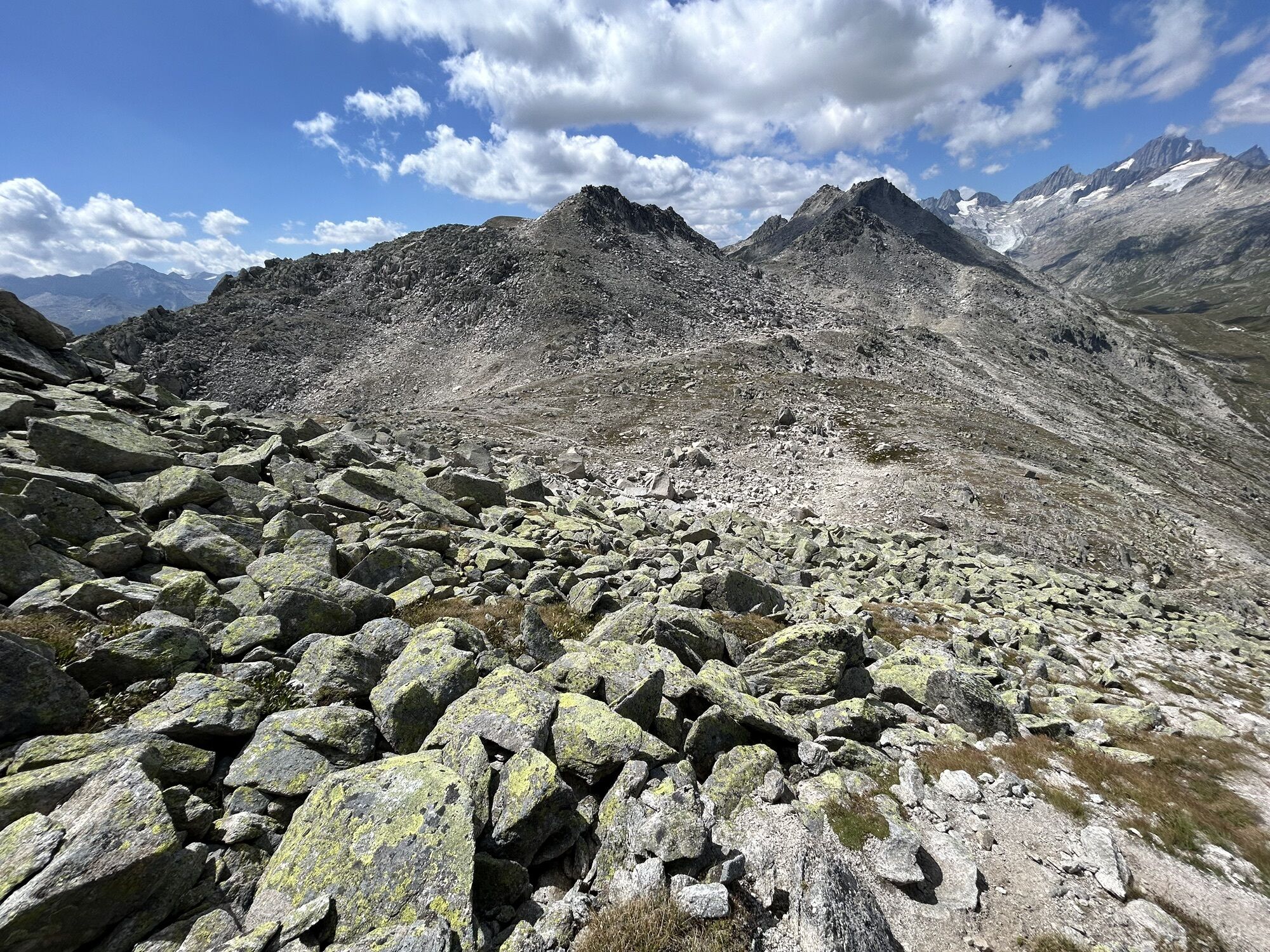
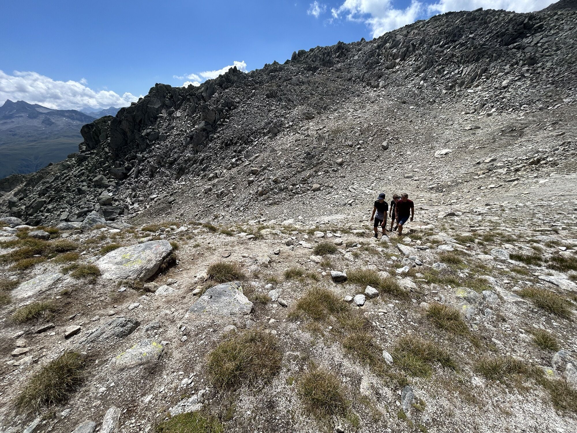
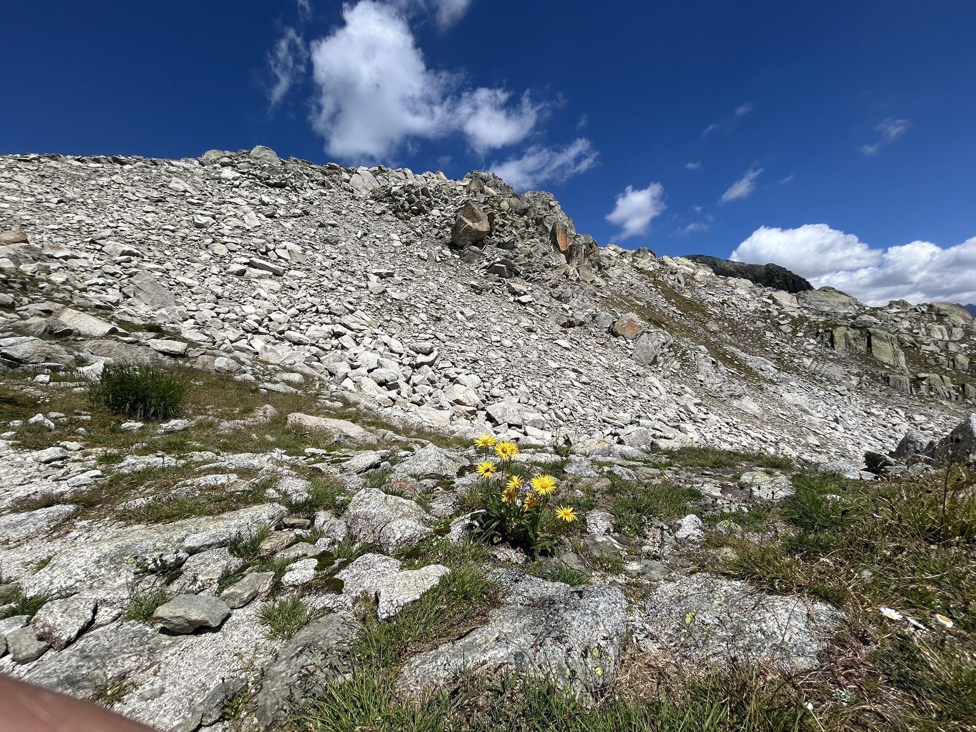
The Sidelhorn is a remarkable accumulation of scree. From Triebtenseelicke, the well-marked path therefore leads over countless stacked boulders to the distinctive summit cross. The ascent is rewarded by a breathtaking Alpine panorama.
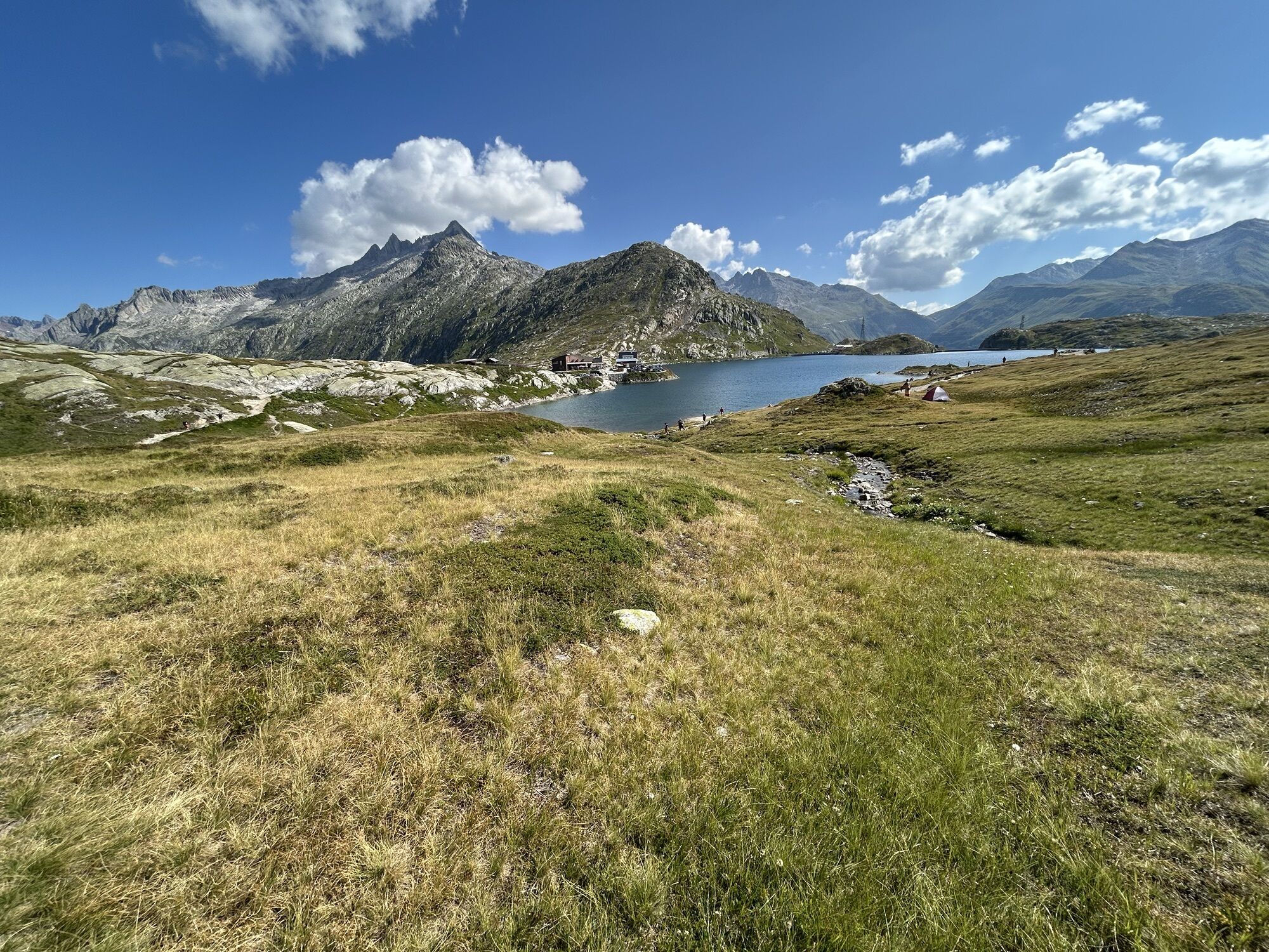
After a strengthening rest, the first part of the descent leads again over large boulders, then continues along the ridge of the cantonal border. After the Husegghütte, we enjoy a good overview of the busy activity at Grimsel Passhöhe. In summer it is a popular starting point for hikers, but also for motorized excursionists and ambitious cyclists.

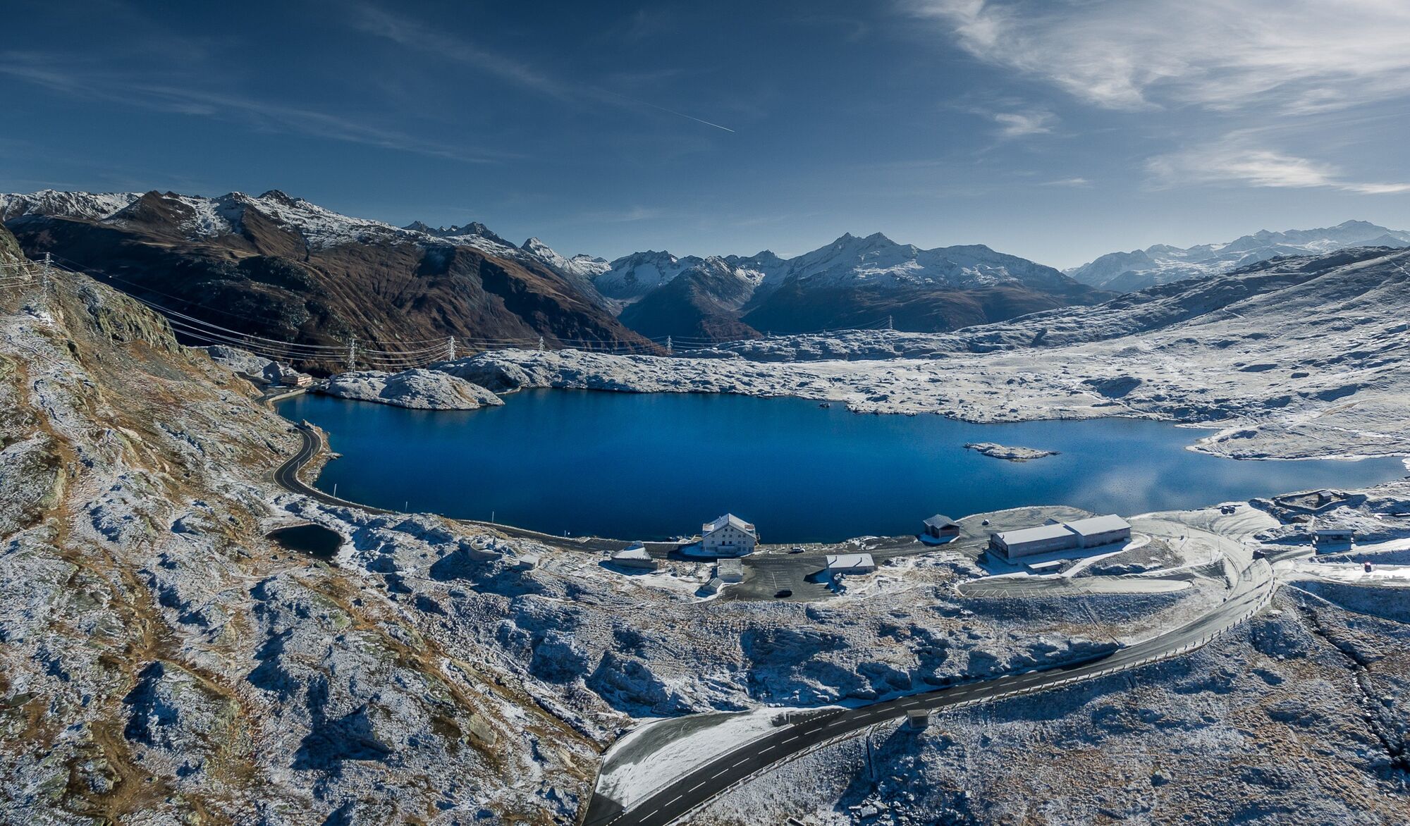
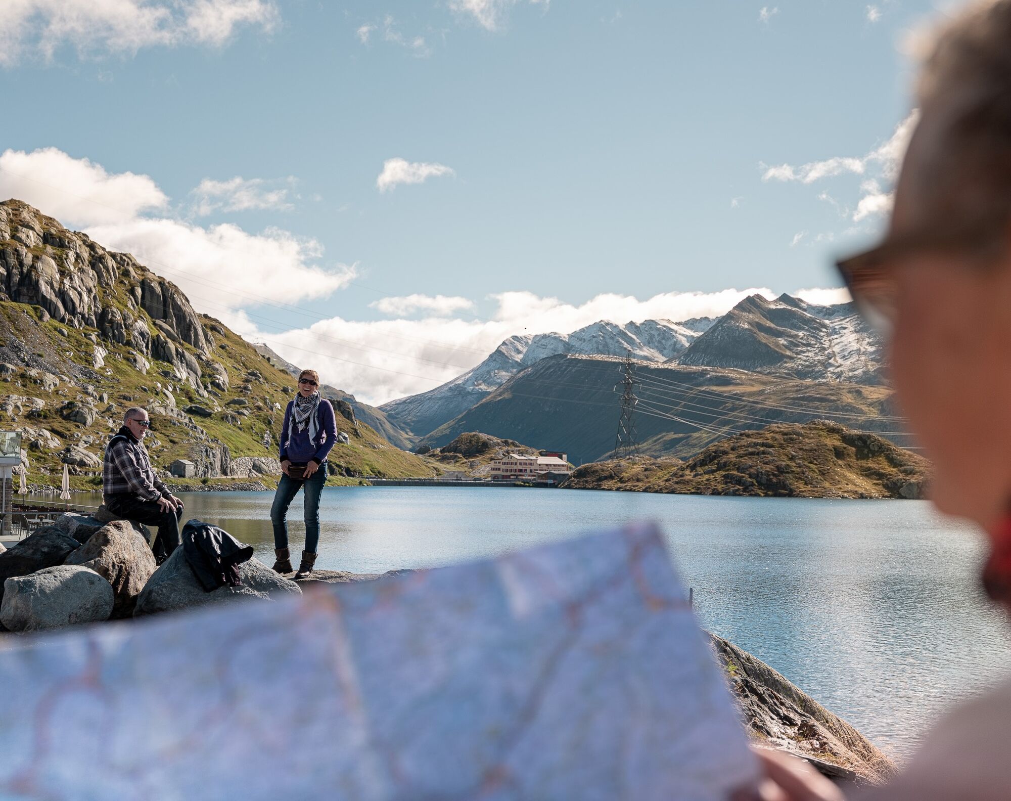
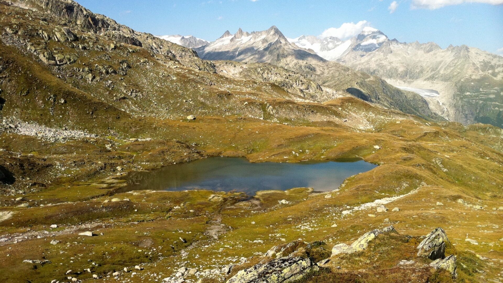
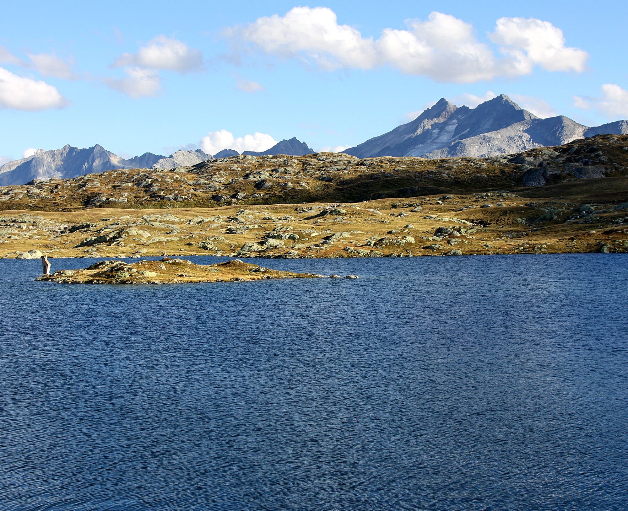

Grimsel Passhöhe - Totesee - Chrizegge - Nassbode - Jostsee - Triebtenseelicke - Sidelhorn (2764) - Husegghütte - Grimsel Passhöhe
Da
We recommend:
Good footwear and hiking poles Sun and rain protection as well as warm clothing Detailed map or informational material with good route preparation Provisions for your day in the outdoors First aid kit and mobile phone for emergenciesUse of the hiking trails is at your own risk. Obergoms Tourismus AG denies all liability and assumes no responsibility for the accuracy and completeness of the information on this website.
Carry a hiking map with you or download the complete description of the hiking trail with a large-scale map. Use only signposted paths and observe all markings and signs - for your own safety, to protect the landscape, and out of respect for wildlife. Behave considerately towards other trail users. Take your trash and that of others with you.
Weather conditions in the mountains can change very quickly and without warning. Appropriate clothing and sufficient provisions (food and drink) are very important. In unstable weather, return early.
Carry additional sun protection. UV rays at high altitudes can be very strong, even on cloudy days.
Plan your route carefully and thoroughly. Inform yourself in advance about the current conditions and weather situation. The summer report provides valuable information from the region.
From Brig, follow the cantonal road no. 19 (Furka road) for almost 50 km to Gletsch. From here, follow route no. 6 for 6 km to Grimsel Passhöhe.
Goms is also well connected from the Zurich / Lucerne region via Andermatt - Furka car shuttle www.matterhorngotthardbahn.ch.
With the regional trains of the Matterhorn Gotthard Bahn you can get from Brig to Oberwald in 1 hour 23 minutes. Goms is also easily accessible from the Zurich / Lucerne region via Andermatt - Furka Base Tunnel.
Change in Oberwald to the PostAuto Grimsel Pass line to the Grimsel Passhöhe stop.
You can find the train and bus timetables at www.sbb.ch.
Public parking is available at Grimsel Pass. Follow the local parking guidance system for this.
 Pridobite vpogled
Vedno v živo na mestu z več kot 9.500 spletnimi kamerami. bergfex Kot uporabnik Pro si lahko zdaj ogledate ustrezne spletne kamere za številne izlete v aplikaciji izleti iz. Tako si lahko neposredno ogledate trenutne razmere.
Pridobite vpogled
Vedno v živo na mestu z več kot 9.500 spletnimi kamerami. bergfex Kot uporabnik Pro si lahko zdaj ogledate ustrezne spletne kamere za številne izlete v aplikaciji izleti iz. Tako si lahko neposredno ogledate trenutne razmere.



Priljubljeni izleti v okolici
-
5.0
9 lake-trail
težkoPohodništvo 17.3 km -
5.0
Gelmersee-Tour
svetlobaPohodništvo 9.03 km -
Furka Pass – Rhone Glacier
svetlobaPohodništvo 3.59 km -
3.5
Circular hike Furka Pass-Tällistock
srednjaPohodništvo 11.0 km -
5.0
Um den Gelmersee zur Gelmerhütte
srednjaPohodništvo 9.30 km -
von Albert-Heim-Hütte via Nepali Highway und Sidelenhütte nach Furkapass
težkoPohodništvo v daljavo 8.40 km -
4.0
Capanna Piansecco
svetlobaSnežni čevlji 7.26 km -
5.0
Sidelenhütte
svetlobaPohodništvo 3.39 km -
4.5
Anstieg Gaulihutte Urbachtal
srednjaPohodništvo 8.61 km -
5.0
Cycling pleasure on the Rottenweg
svetlobaKolesarjenje 25.0 km
Pohodništvo in sledenje


Ne zamudite ponudb in navdiha za naslednje počitnice
Vaš e-poštni naslov je bil dodan na poštni seznam.





