







Arnica Bike mountain biking
Stopnja težavnosti: S2
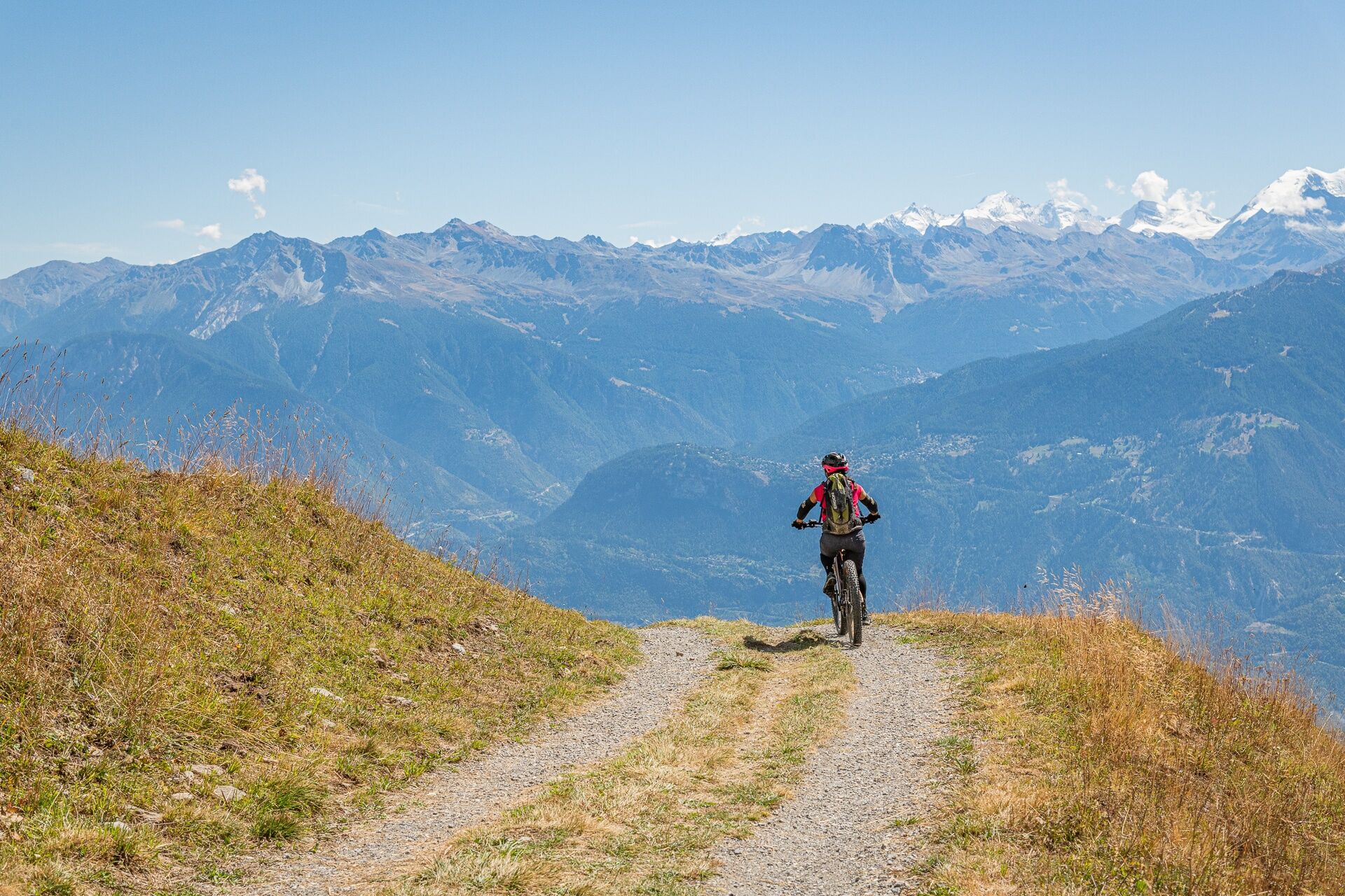
The alpine pastures of the region are within your reach. A few pedal strokes and the famous panorama of Anzère will unfold before you: a nice ascent, an equally magnificent descent, and lots of fun ahead!
The...
The alpine pastures of the region are within your reach. A few pedal strokes and the famous panorama of Anzère will unfold before you: a nice ascent, an equally magnificent descent, and lots of fun ahead!
The starting point of the Arnica Bike route is located on the cable car square. It then crosses the mayens of Grillesses via the forest road. From there, you follow the famous Tour des Alpages route in the opposite direction.

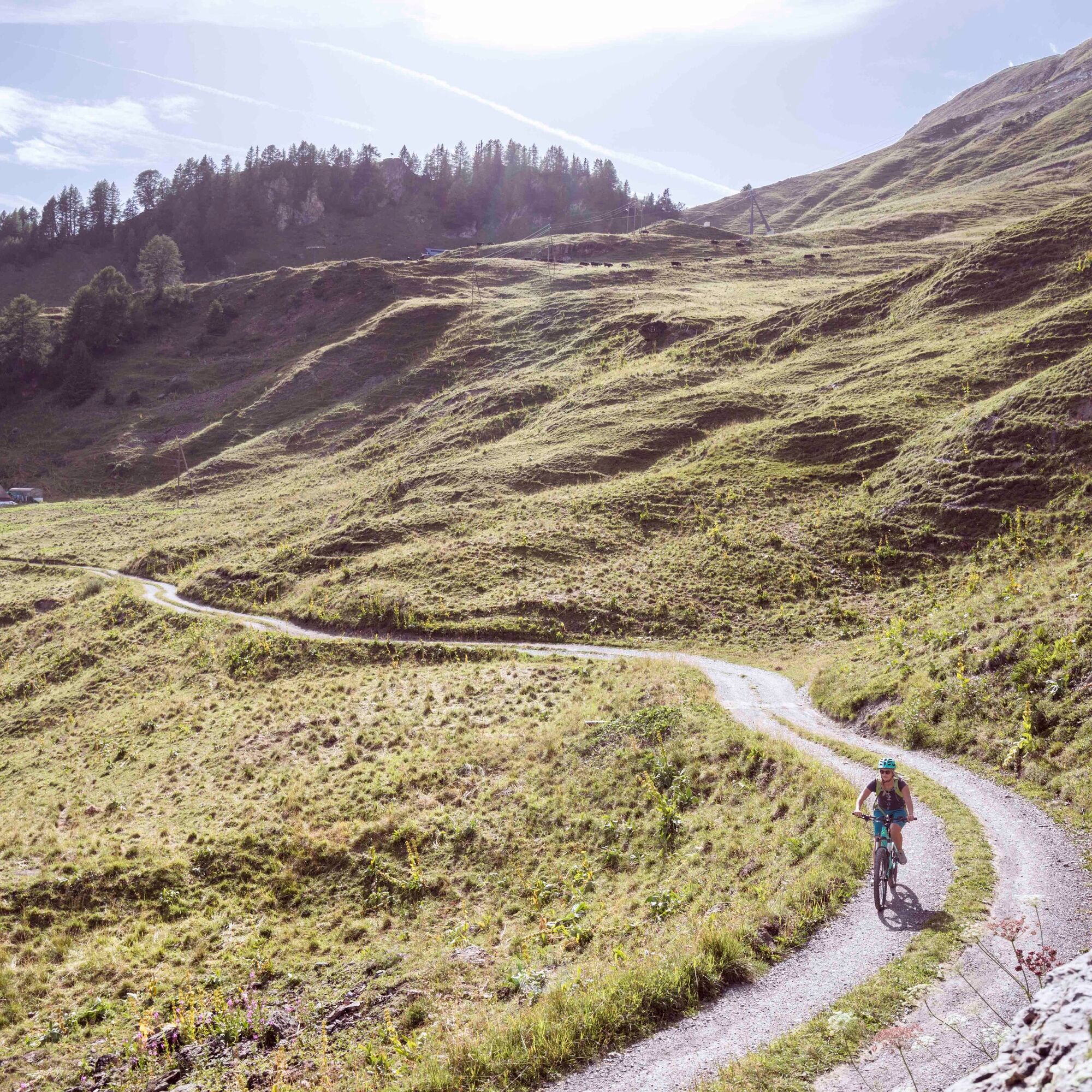
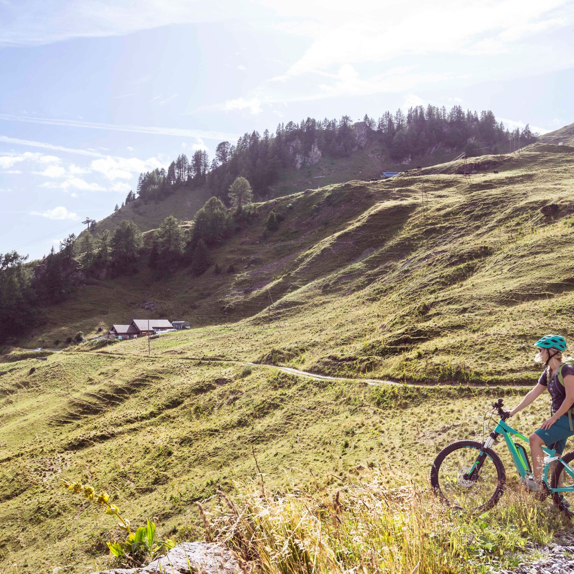

The first stage follows the bisse of Sion to reach Les Rousses, via the descent to Pra Combère. Then climb up to the heights of Anzère via the alpine pastures of Serin, Duez, Tsalan d’Arbaz, and Tsalan d’Ayent. The final descent passes through the Brune and takes you back to the village center of Anzère.
Throughout the route, be attentive to mountain bikers or hikers who may be traveling against the direction of your route.
Da
Our recommendations: technically flawless mountain bike, helmet, gloves and bell, suitable clothing depending on the weather, rain protection, drink and snacks.
Prepare your mountain bike outing
Follow only the marked trails and roads as well as the appropriate signs. Always close gates and enclosures behind you. Respect hikers as well as fauna and flora. Hikers generally have priority. Assess your physical condition and abilities well. Use of the different routes is always at your own risk.
Prepare your mountain bike outing
The mountains are a pleasure space to be shared and respected. The mountains offer a place to meet and share unforgettable moments, by bike or on foot. For all outdoor enthusiasts to enjoy it, sharing this space while respecting nature and agriculture is essential. Respectful behavior allows everyone to enjoy their leisure activity in the best conditions. Get informed about the recommendations and rules in place.
Motorway exit no. 27 Sion-East then continue towards Anzère/Ayent.
PostBus direction Anzère from Sion train station. Remember to reserve a place for your mountain bike via the SBB mobile app or on cff.ch
Several parking lots available at the Anzère resort
S2
Learn more about the destination: Anzère Tourism
Stop at the Tsalan Stable for a refreshing break with a splendid view of the Valais Alps!
Pridobite vpogled Vedno v živo na mestu z več kot 9.500 spletnimi kamerami. bergfex Kot uporabnik Pro si lahko zdaj ogledate ustrezne spletne kamere za številne izlete v aplikaciji izleti iz. Tako si lahko neposredno ogledate trenutne razmere. Priljubljeni izleti v okolici
- 5.0
Bisse du Ro
svetlobaPohodništvo 11.2 km - 4.2
Grand Bisse de Lens
svetlobaPohodništvo 8.73 km - 4.7
Leukerbad - Gemmipass - Lämmerenhütte
srednjaPohodništvo 9.49 km - 4.0
Gemmipass - Lämmerenhütte - Rote Totz Lücke - Daubensee - Gemmipass
srednjaPohodništvo 13.7 km - 4.0
Tripon - Brac – Ancien Bisse du Torrent Neuf – St. Marguerite – Torrent Neuf – Prafirmin - St. Germain
svetlobaPohodništvo 12.9 km - 5.0
Grand bisse d’Ayent
srednjaPohodništvo 11.7 km - 5.0
Family-friendly Tsittoret bisse
svetlobaPohodništvo 7.14 km - 4.0
Belvédère via ferrata
srednjaVia ferrata 1.81 km - 4.0
Around the Tseuzier Reservoir
svetlobaPohodništvo 4.58 km - 5.0
Wildstrubel Umrundung 4-Tage
srednjaPohodništvo 79.1 km
Pohodništvo in sledenje


Ne zamudite ponudb in navdiha za naslednje počitnice
Vaš e-poštni naslov je bil dodan na poštni seznam.





