







Grand bisse d’Ayent



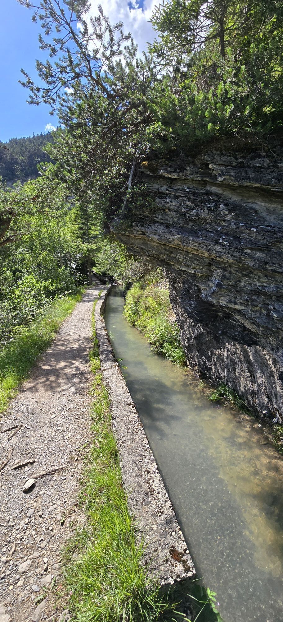
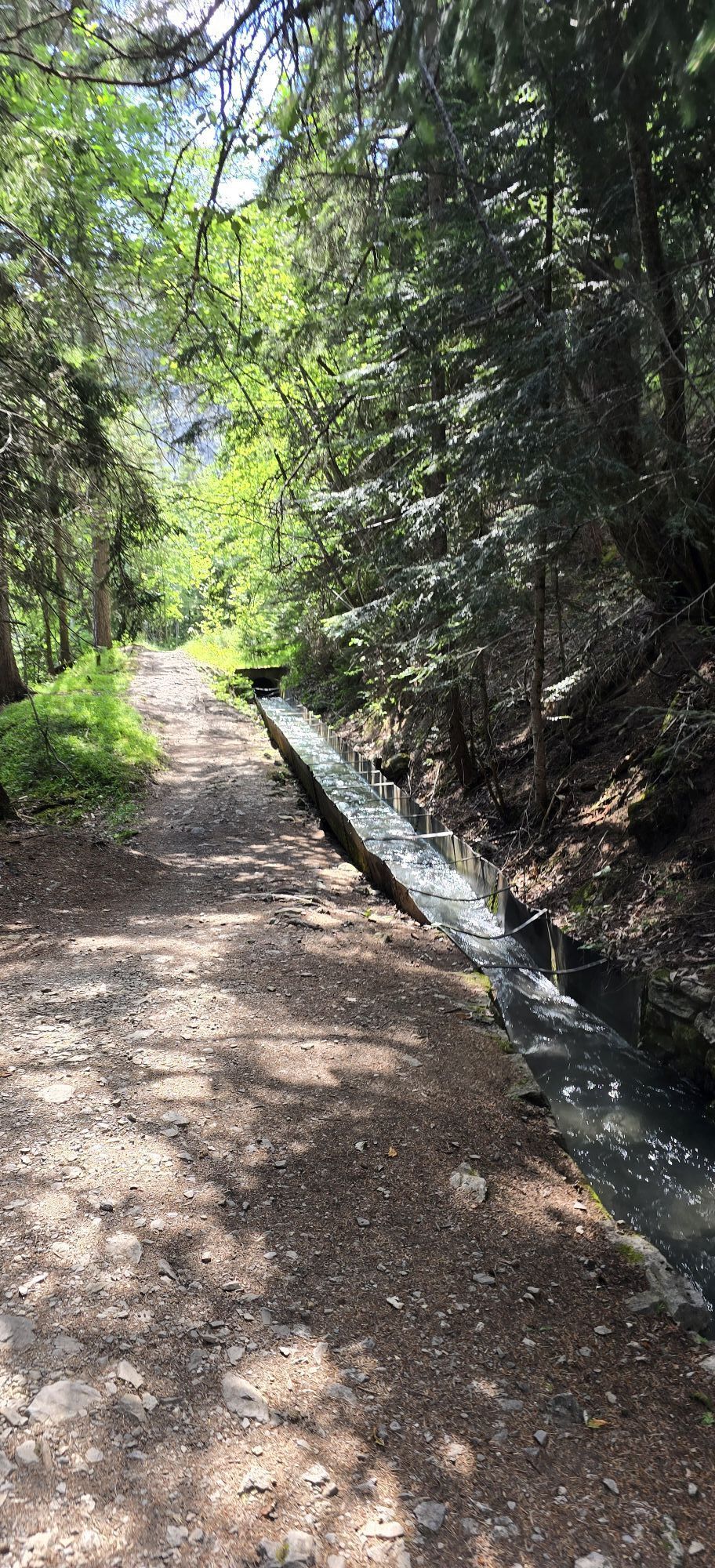
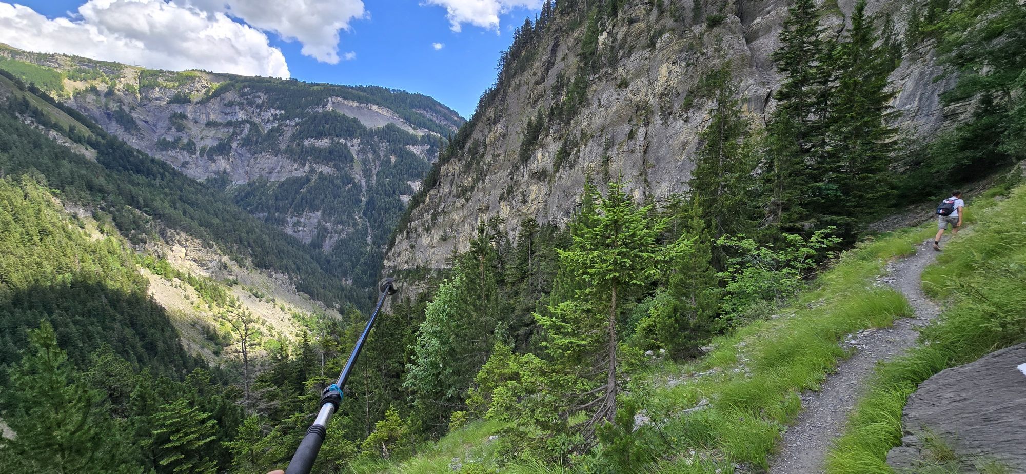
The Grand Bisse d’Ayent, built in 1442, draws its water from near the Tseuzier dam. Although the upper part of the bisse has been dry since the dam was completed, you can still discover traces of it along...
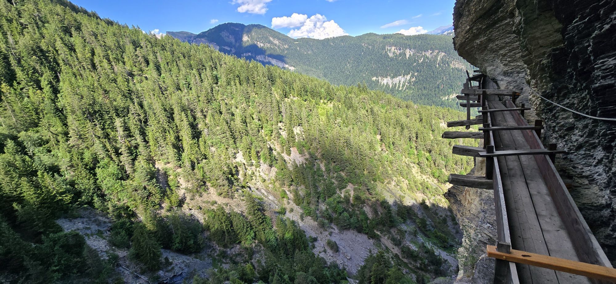
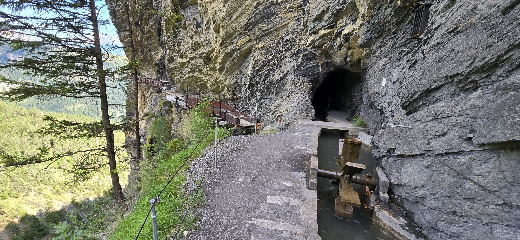
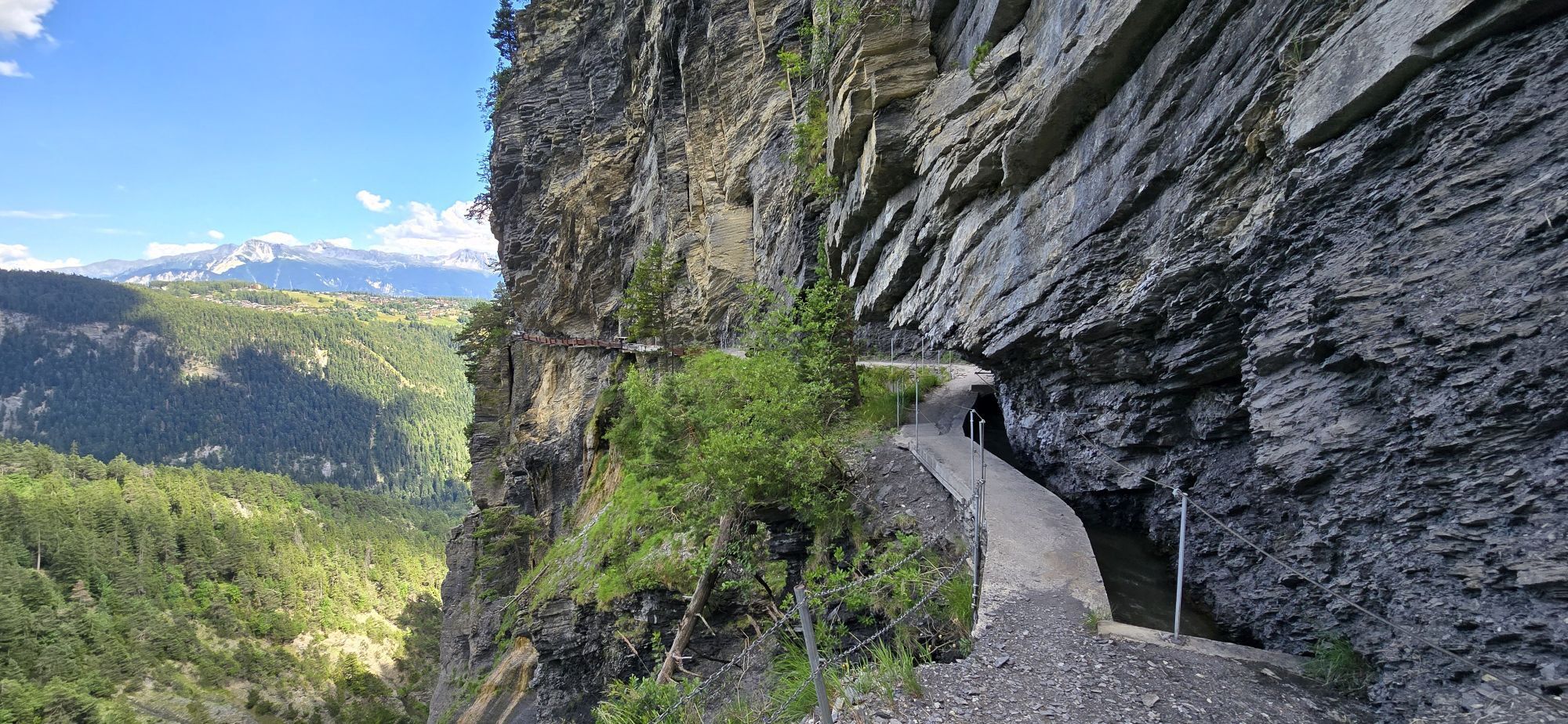
The Grand Bisse d’Ayent, built in 1442, draws its water from near the Tseuzier dam. Although the upper part of the bisse has been dry since the dam was completed, you can still discover traces of it along the path. The Passage des Follés is reserved for people not prone to vertigo, as the bisse there follows a rocky ridge. Upon arriving at Torrent-Croix, discover the incredible work carried out by our ancestors: the bisse was hand-carved into the rock and runs along chutes attached to the cliff, immortalized in 2019 on the back of the CHF 100 note. These chutes have not been in service for a few years and today the bisse passes through a 95-meter-long tunnel, in the middle of which a passage leads to a platform offering a magnificent view of the entire installation. If you wish, you can finish your hike in Anzère or continue towards Arbaz. The finish is near Étang Long, located in the center of the village and appreciated by anglers.

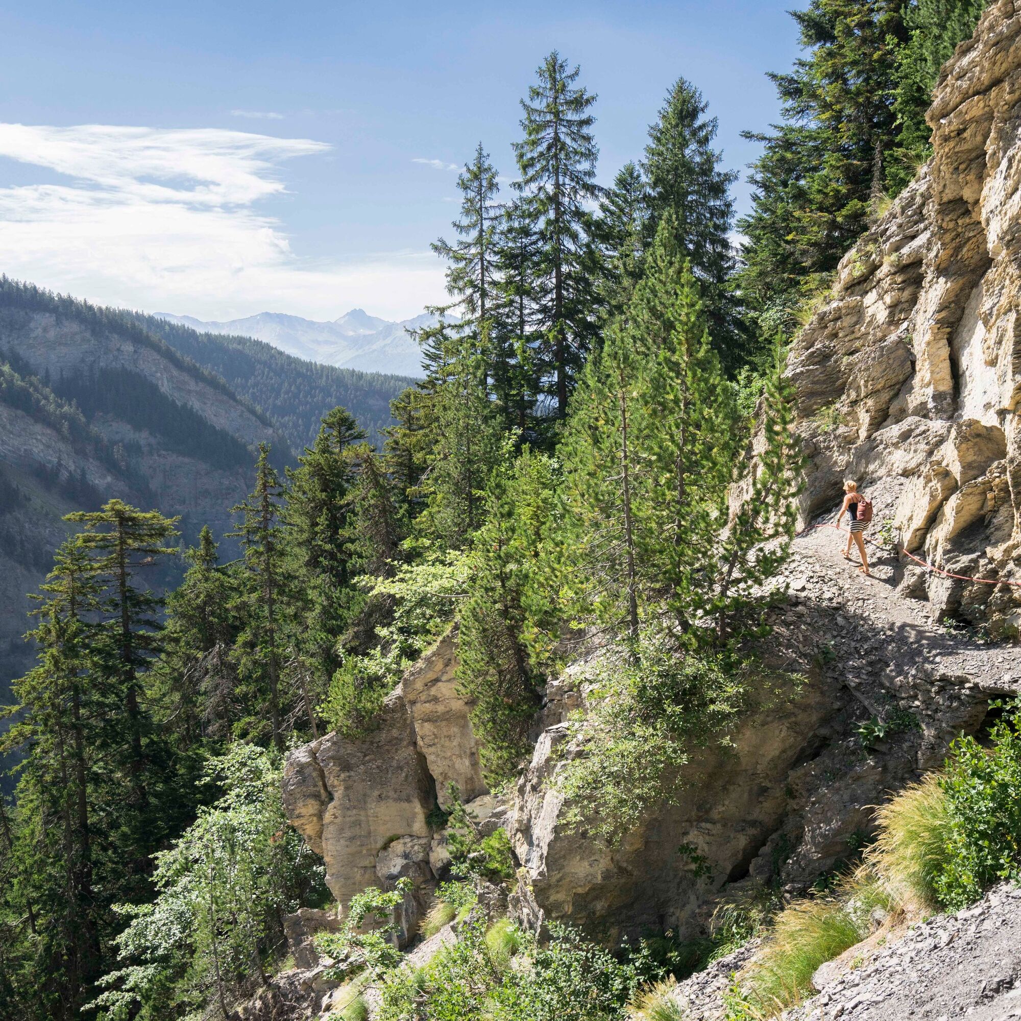
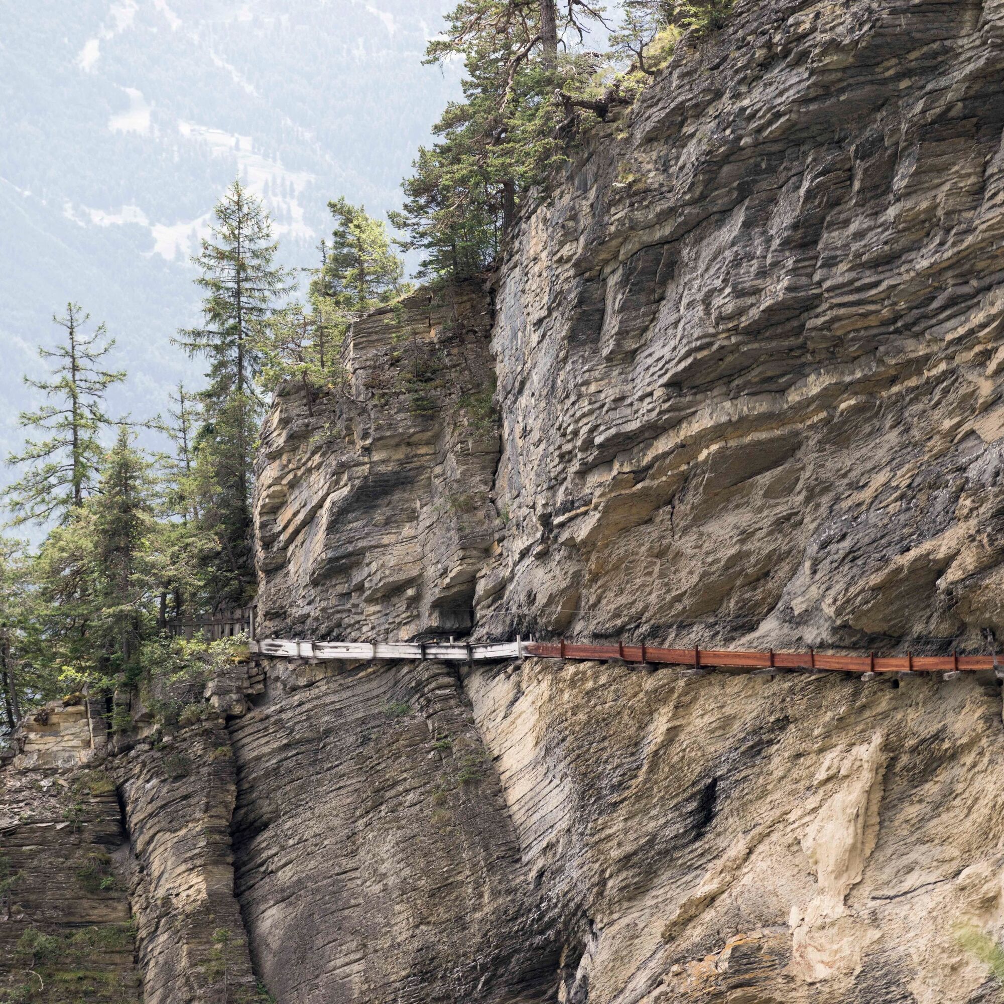


To access the Grand Bisse d'Ayent, start your hike on the wall of the Tseuzier dam and follow the path that descends near the restaurant, leading you into the Lienne valley, up to the junction with the bisse. This first part is equipped with a handrail in the steepest sections and is reserved for people not prone to dizziness. It is also possible to start the hike at the CarPostal Samarin stop to avoid this part. Follow the signage that leads you through varied landscapes and admire the remnants of the past and the incredible construction work carried out to carry water down to the vineyards below. Continue your hike to the Mayens d'Arbaz, where the "Café du Lac" bus stop allows you to easily return to the plain or your vehicle.
Da
We recommend:
Good shoes Clothing suitable for the weather: always have a waterproof jacket Hat or cap Sunscreen Water bottle Picnic Camera Walking poles (optional) Binoculars (optional) Printed version of the itinerary (click on "print" to download)For certain walks:
SwimsuitUse of the routes and information on this website is the responsibility of each hiker. Conditions on-site may cause changes to the routes. Valais/Wallis Promotion declines all responsibility for the accuracy and completeness of the website information.
For all hikes:
Carry a map. Download the complete itinerary description with a large-scale map by clicking the "print" icon at the top right of the page. Use only marked paths and obey all signage – for your safety, to protect livestock, and to avoid disturbing wildlife. Close gates after passing through. Be respectful of other users as well as plants and animals.For mountain hikes:
Take special care to protect yourself from the sun at altitude. UV rays can be very strong, even on cloudy days. Plan your hike carefully: consider the physical level of each participant, the weather forecast, and the season. Weather conditions can change quickly and unexpectedly in the mountains. It is essential to have suitable clothing and sufficient reserves of food and water. In uncertain weather, turn back in time.For high-mountain hikes:
Inform others about your route. If possible, avoid going alone. Do not venture onto glaciers without a mountain guide. Be aware of constant danger warnings in riverbeds, along waterways below dams or reservoirs: water levels can rise rapidly and unexpectedly.From the A9 motorway, take exit 27 (Sion-Est) and then follow the signs indicating Ayent. Upon reaching the village of Saint-Romain, continue towards Fortunau following the signs for Les Rousses. Just after the parking lot of the Les Rousses ski lift facilities, the road continues through a tunnel and leads you to the Tseuzier dam.
Take the train to Sion, then the CarPostal line 352 to the Tseuzier dam (operating from mid-June to mid-September).
Parking is available at the Tseuzier dam.
View the itinerary on SuisseMobile:
No. 213 Grand Bisse d’AyentLearn more about the destination Anzère:
AnzèreAt the end of your hike, go to Botyre to discover the Bisses Museum, located in a beautiful 17th-century building that has been fully restored.

Spletne kamere s turneje

Priljubljeni izleti v okolici
-
5.0
Bisse du Ro
svetlobaPohodništvo 11.2 km -
4.2
Grand Bisse de Lens
svetlobaPohodništvo 8.73 km -
4.5
Tour de l'éboulement des Diablerets
svetlobaPohodništvo 6.52 km -
4.6
Lauenen - Höji - Bühlhaus Lauenensee
srednjaPohodništvo 9.03 km -
4.0
Tripon - Brac – Ancien Bisse du Torrent Neuf – St. Marguerite – Torrent Neuf – Prafirmin - St. Germain
svetlobaPohodništvo 12.9 km -
5.0
Family-friendly Tsittoret bisse
svetlobaPohodništvo 7.14 km -
4.0
Belvédère via ferrata
srednjaVia ferrata 1.81 km -
4.7
Leiterli (Bergstation) - Berghaus Leiterli
svetlobaPohodništvo 7.45 km -
4.0
Around the Tseuzier Reservoir
svetlobaPohodništvo 4.58 km -
5.0
Wildstrubel Umrundung 4-Tage
srednjaPohodništvo 79.1 km
Pohodništvo in sledenje


Ne zamudite ponudb in navdiha za naslednje počitnice
Vaš e-poštni naslov je bil dodan na poštni seznam.





