



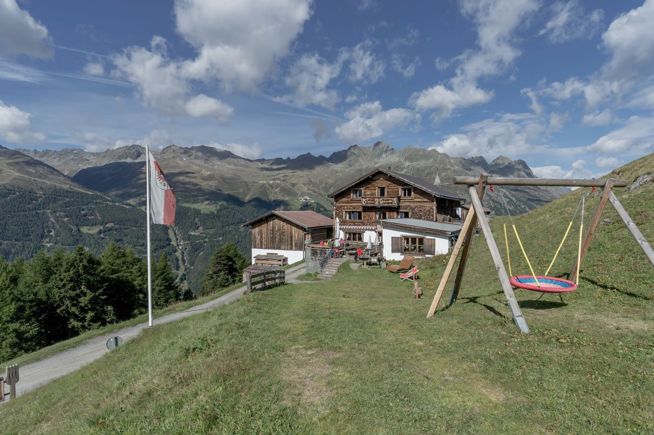
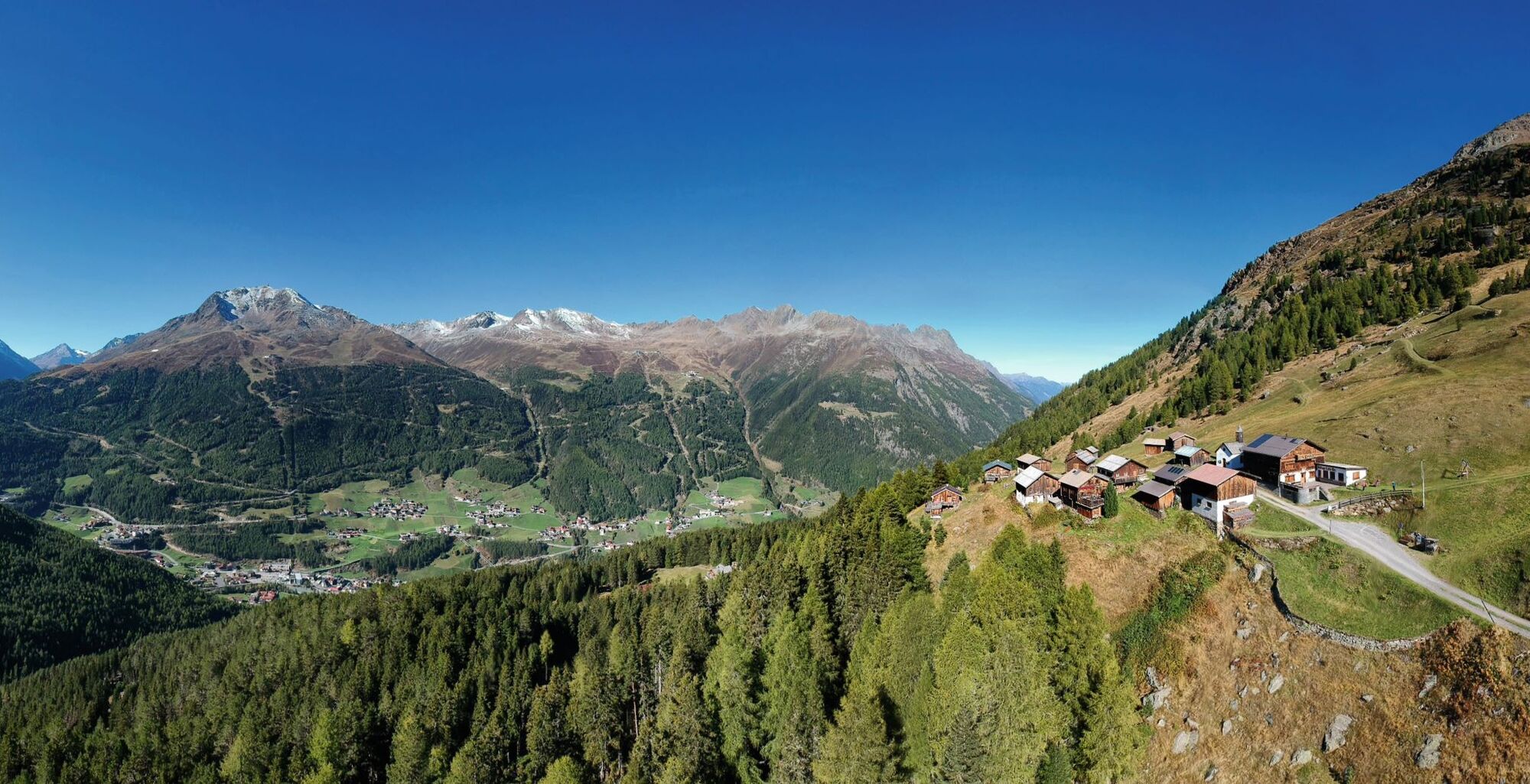
Kleble Alm

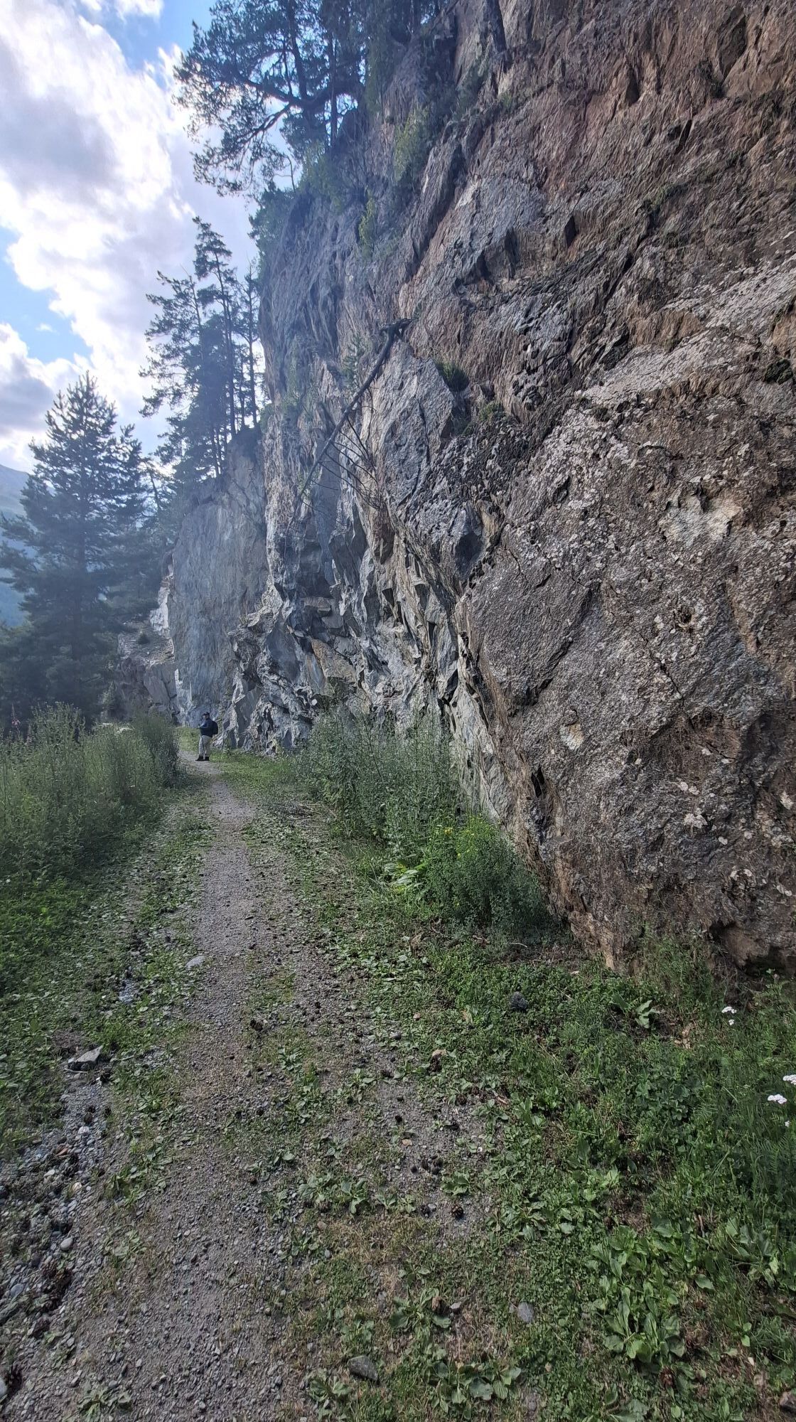
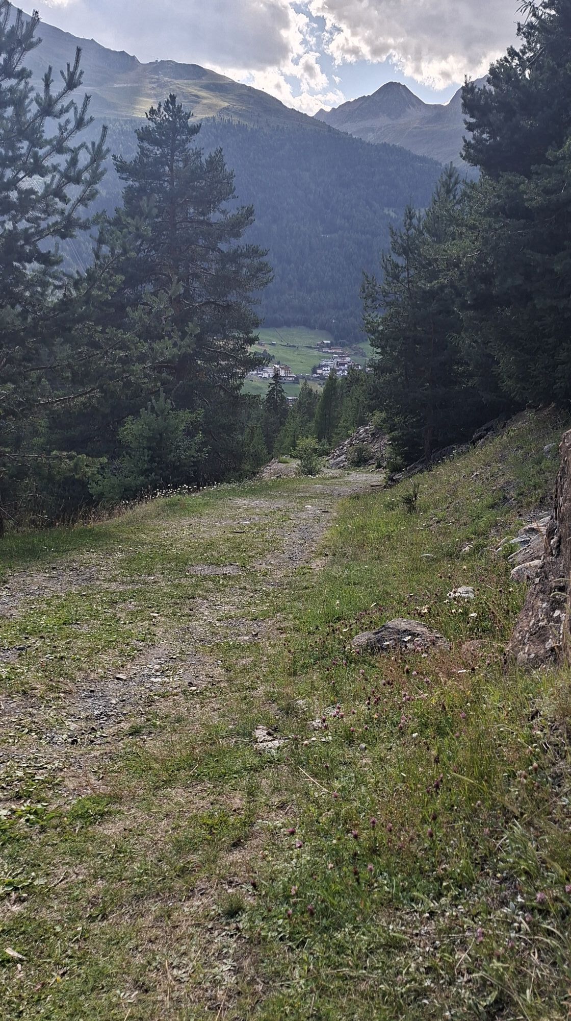
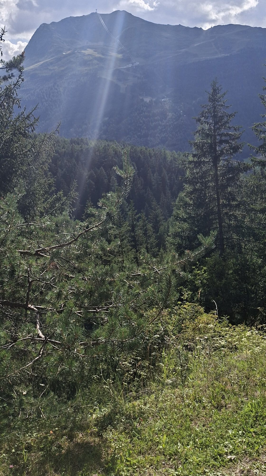
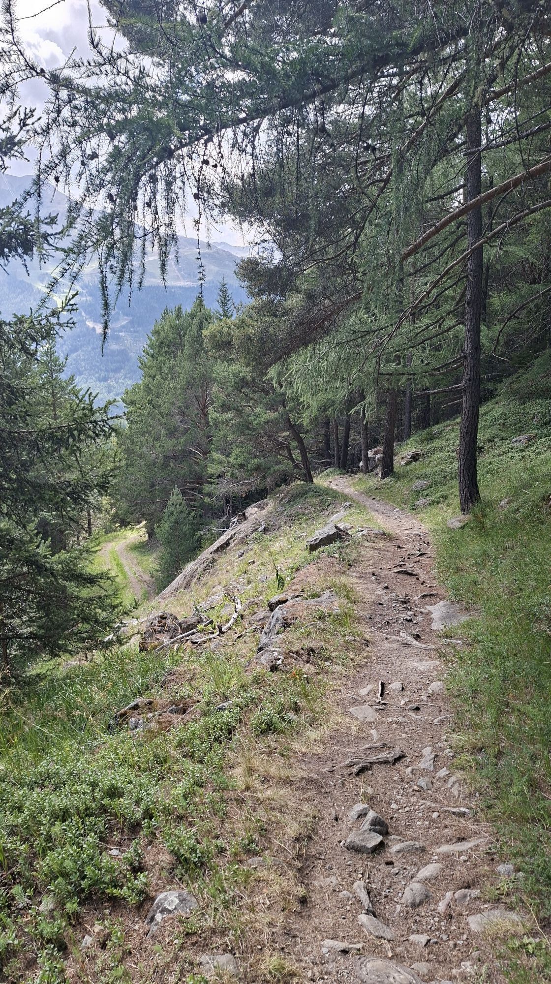






Da
Appropriate equipment such as breathable suitable outdoor clothes for the weather, ankle-high walking boots,wind-, rain- & sun protection, hat, possibly gloves, is for all hikes and tours necessary. Please bring a first-aidbox, a mobile phone, a walking map and if there is no hut on the way a snack and enough to drink.
Moderate mountain trail; for sure-footed and experienced hikers. Good physical condition, mountain experience & mountain equipment (see notice equipment) necessary. Please pay attention to the current weather report:
Travel safe and comfortable with the train to the Ötztal Bahnhof train station. Last stop and exit point is the train station Ötztal Bahnhof. Afterwards you can travel smoothly and quick with the public transport or our local taxi companies through the valley to your desired destination. Please find the current bus timetable here:fahrplan.vvt.at
All parking is free during the day.
Parking for several days (eg hike tour):
Parkgarage Gaislachkoglbahn, Parkticket either online or directly at the cash desk of the GaislachkoglbahnIn summer there is a taxi transfer from Sölden to the Kleblealm. The Kleblealm is a good starting point for many other tours.You can find the current bus timetable on the website of the Ötztaler Verkehrsgesellschaft.

Spletne kamere s turneje
-
Seekogel
-
Gaislachkogel
-
Sölden - Hochsölden
-
Sölden - Grünwald Resort
-
Sölden - Grünwald Resort
-
Giggijoch
-
Giggijoch
-
Giggijoch
-
Giggijoch
-
Giggijoch
-
Giggijoch
-
Giggijoch
-
Giggijoch
-
Sölden - Gaislachkogelbahn Mittelstation
-
Sölden - Schwarzkogl Talstation
-
Hochstubaihütte
-
Hochstubaihütte
-
Sölden Ort
-
The Peak Sölden**** Chalets und Appartements

Priljubljeni izleti v okolici
-
4.7
Winnebachsee Hut – Längenfeld/Gries
srednjaPohodništvo 4.74 km -
4.6
Vent - Wilder Mann - Breslauer Hütte - Stableinalm
srednjaPohodništvo 7.25 km -
4.7
Winter circular route Brandalm/Burgstein - Längenfeld 204
srednjaZimsko pohodništvo 5.44 km -
4.8
Wilde Wasser Weg - Fortgeschritten
srednjaPohodništvo 12.0 km -
5.0
Dresdner hütte - sulzenauerhütte
srednjaPohodništvo 12.1 km -
4.5
Hohe Geige über Gawinden und den Westgrat
težkoPohodništvo 14.3 km -
4.4
Rundwanderung Hängebrück3
svetlobaPohodništvo 6.32 km -
3.8
Breslauer Hut
srednjaPohodništvo 4.75 km -
4.3
Amberger Hut - Längenfeld/Gries
srednjaPohodništvo 5.60 km -
4.9
Seeber-See Rundweg
svetlobaGorski pohodništvo 7.96 km
Pohodništvo in sledenje


Ne zamudite ponudb in navdiha za naslednje počitnice
Vaš e-poštni naslov je bil dodan na poštni seznam.


