Kerschbaumeralm bothy - Karlsbaderhütte – Dolomitenhütte
srednja
Pridobite to turo v svoj mobilni telefon
Kerschbaumeralm bothy - Karlsbaderhütte – Dolomitenhütte
srednja
Pohodništvo
12,28
km
Skenirajte kodo QR in začnite navigacijo v aplikaciji bergfex.

Pohodništvo in sledenje


Kerschbaumeralm bothy - Karlsbaderhütte – Dolomitenhütte
srednja
Razdalja
12,28
km
Trajanje
07:00
h
Ascent
1.210
hm
Morska gladina
1.095 -
2.277
m
Prenos skladbe
Kerschbaumeralm bothy - Karlsbaderhütte – Dolomitenhütte
srednja
Pohodništvo
12,28
km
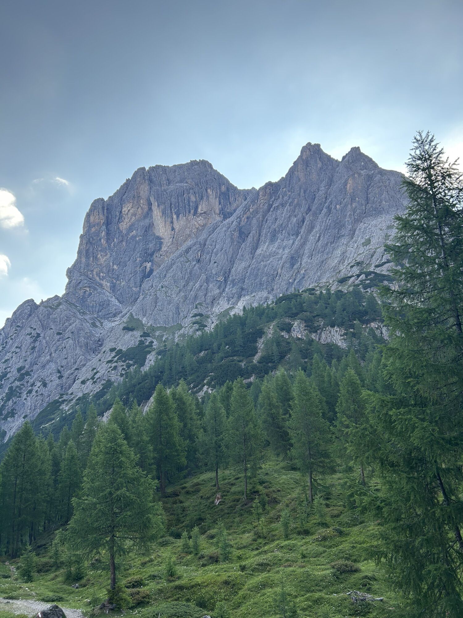
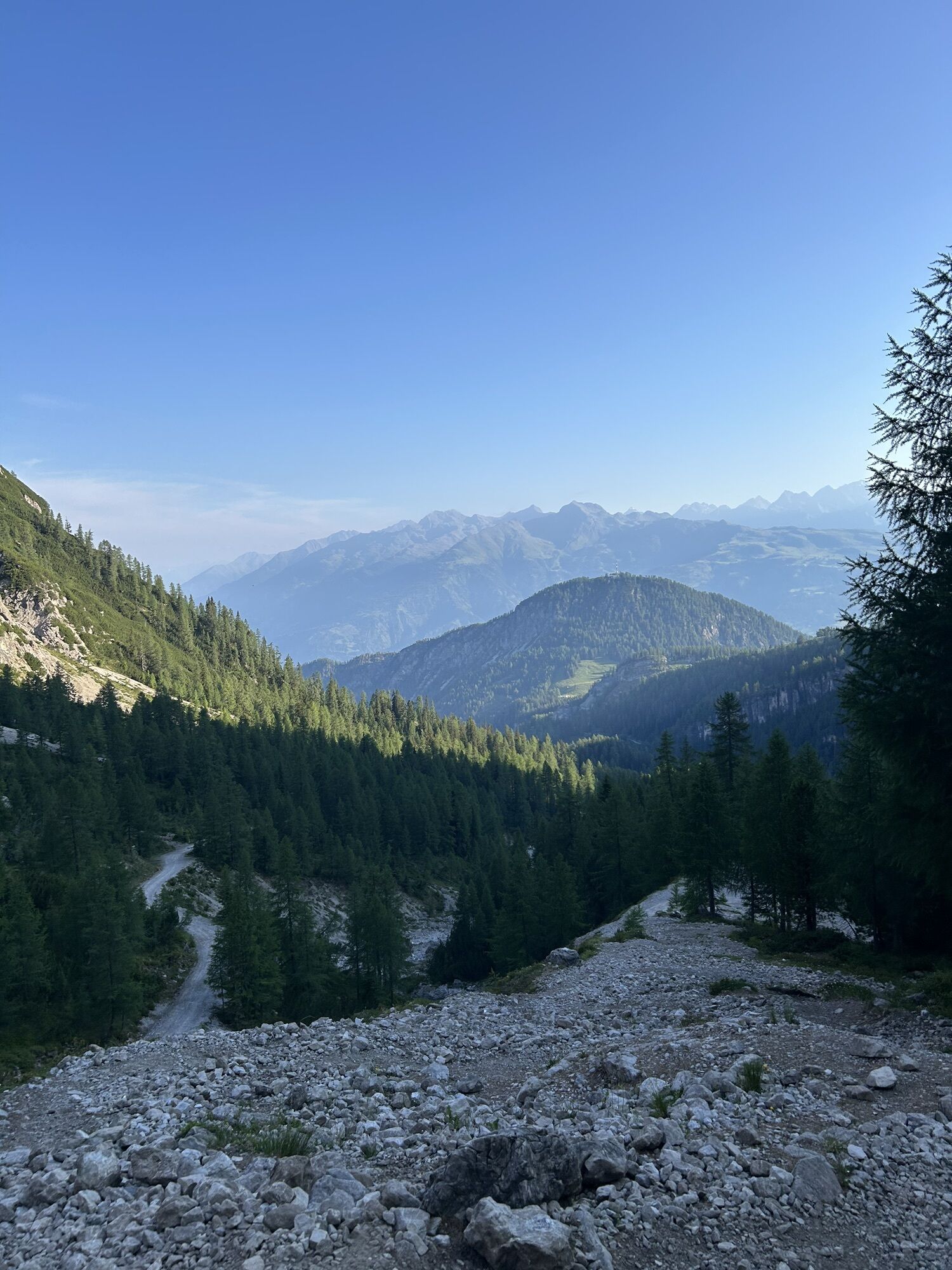
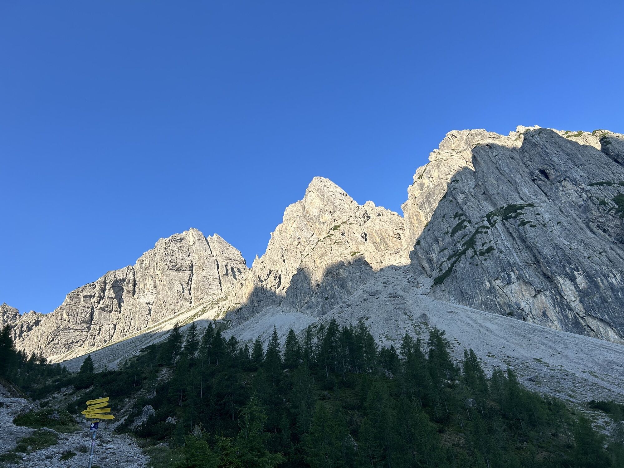
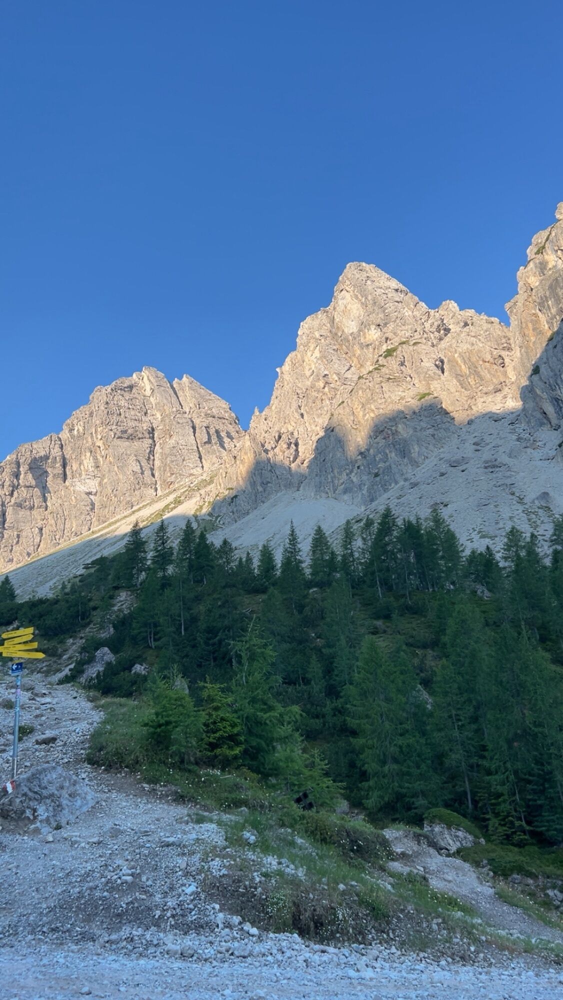
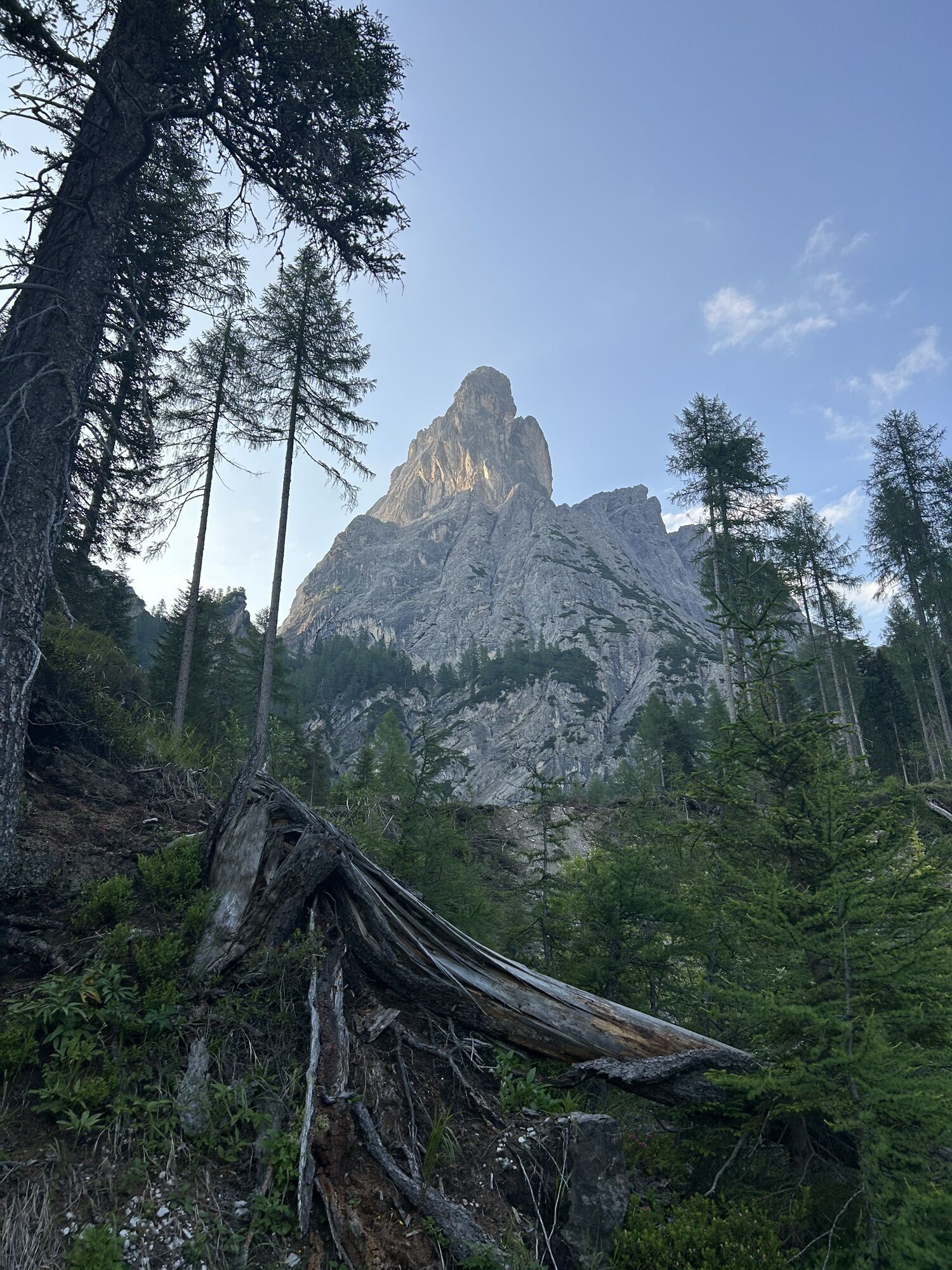
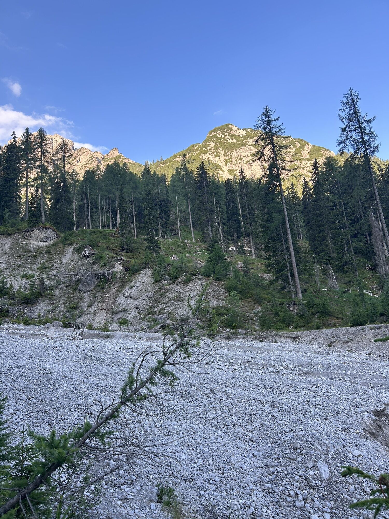
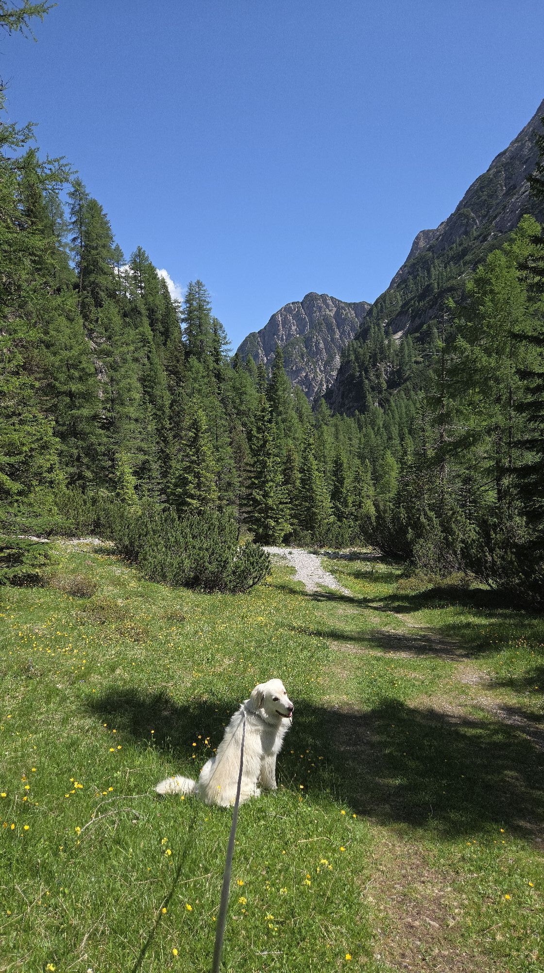
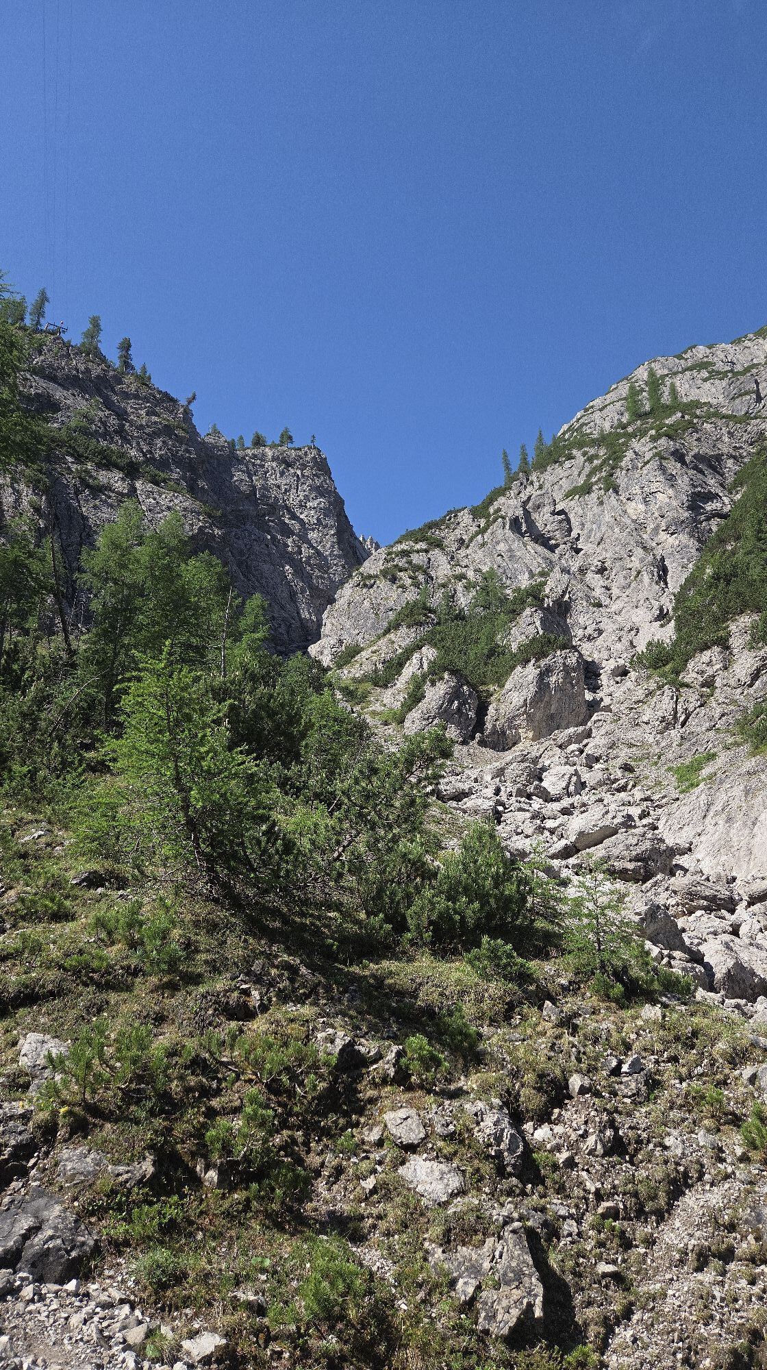
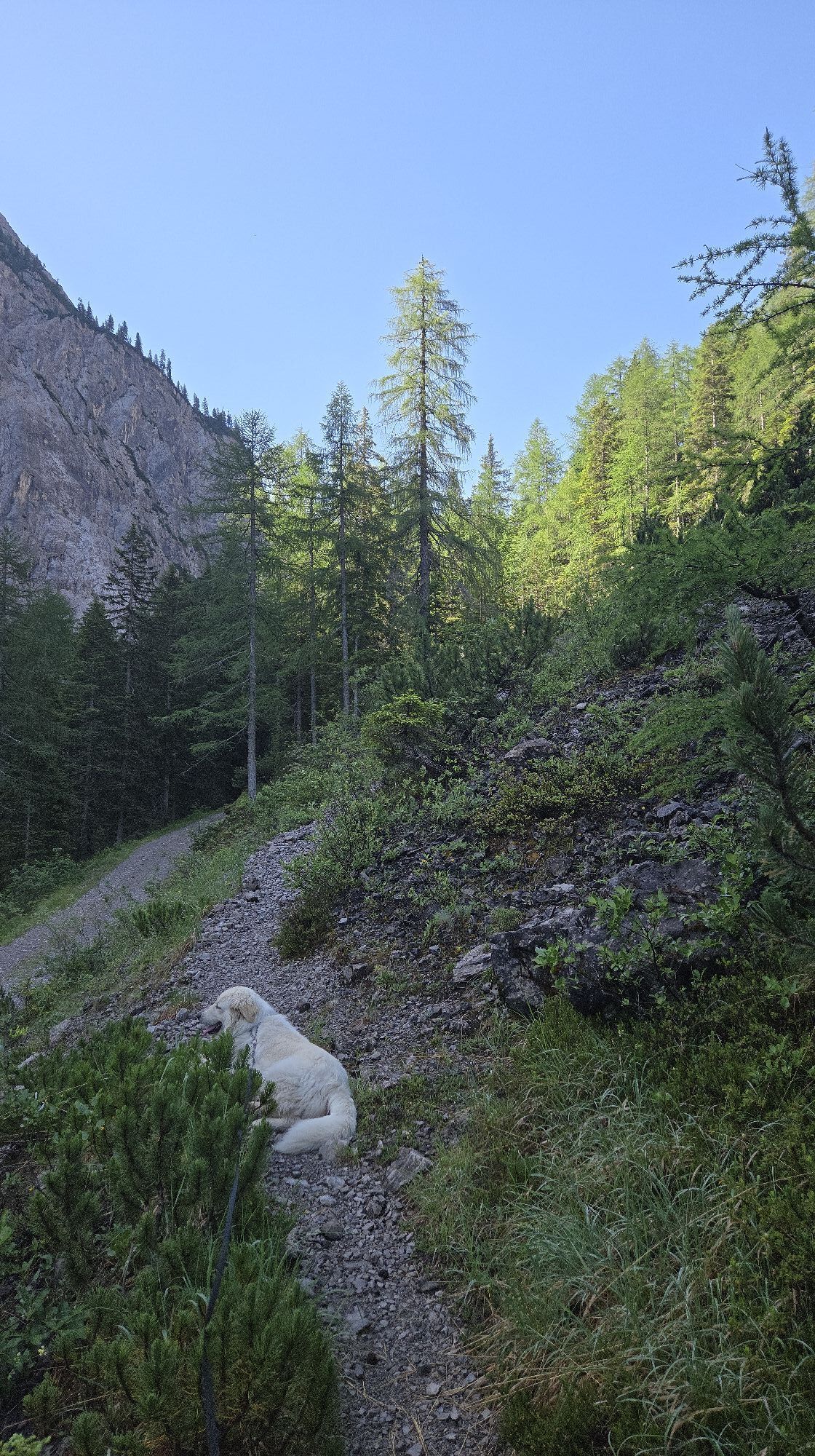
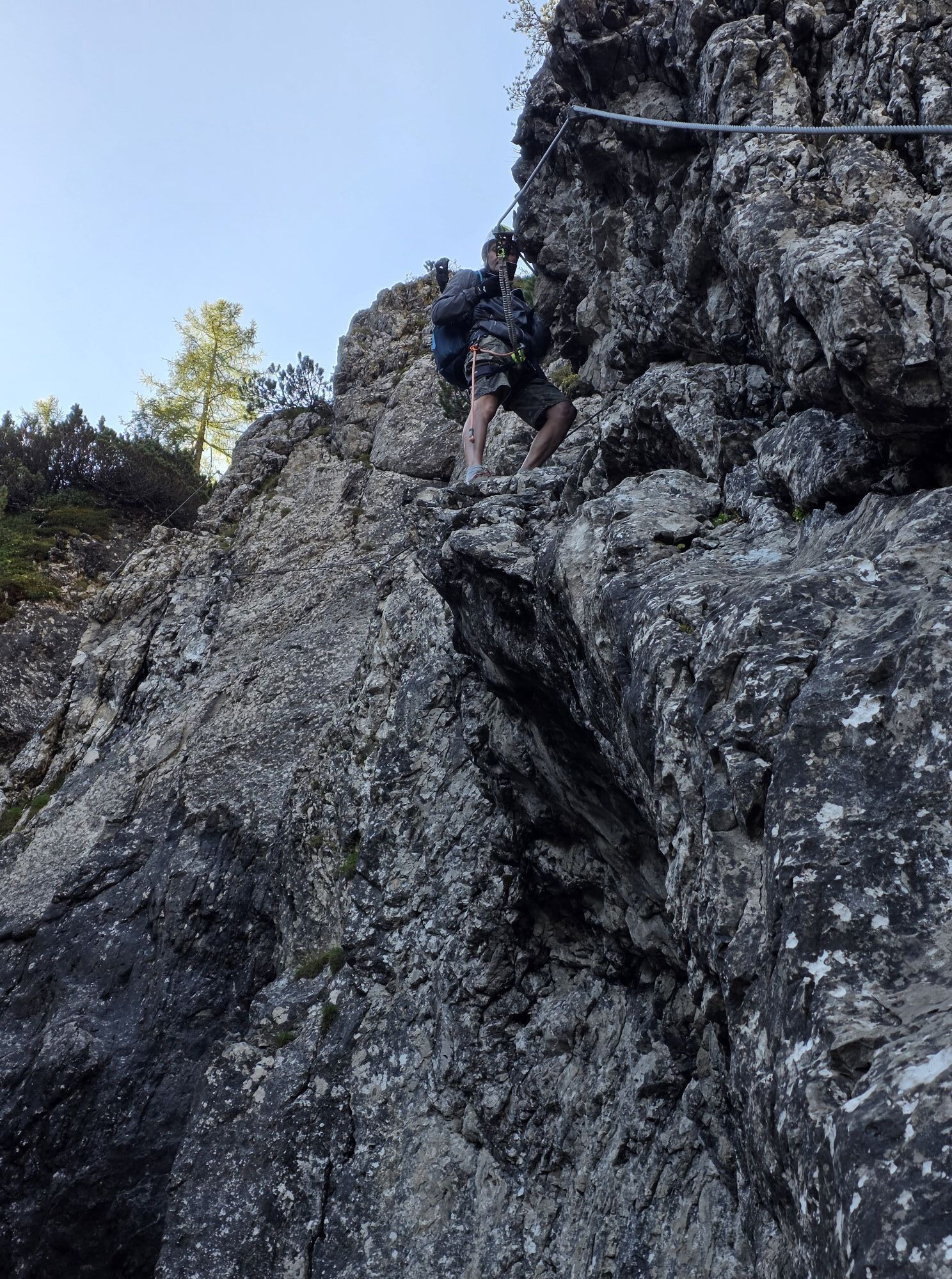
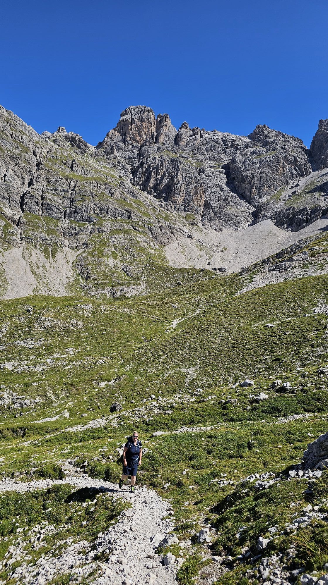
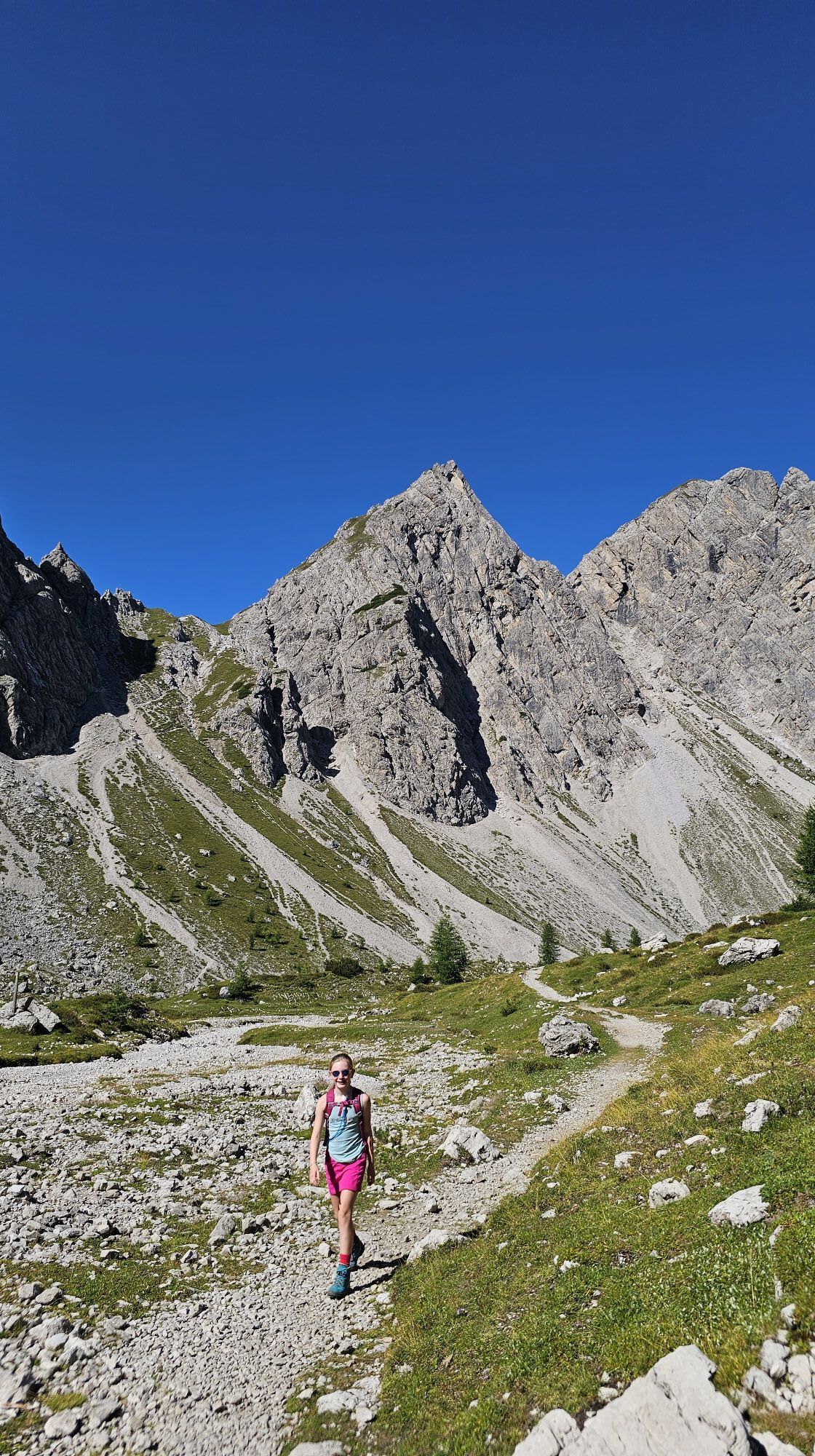
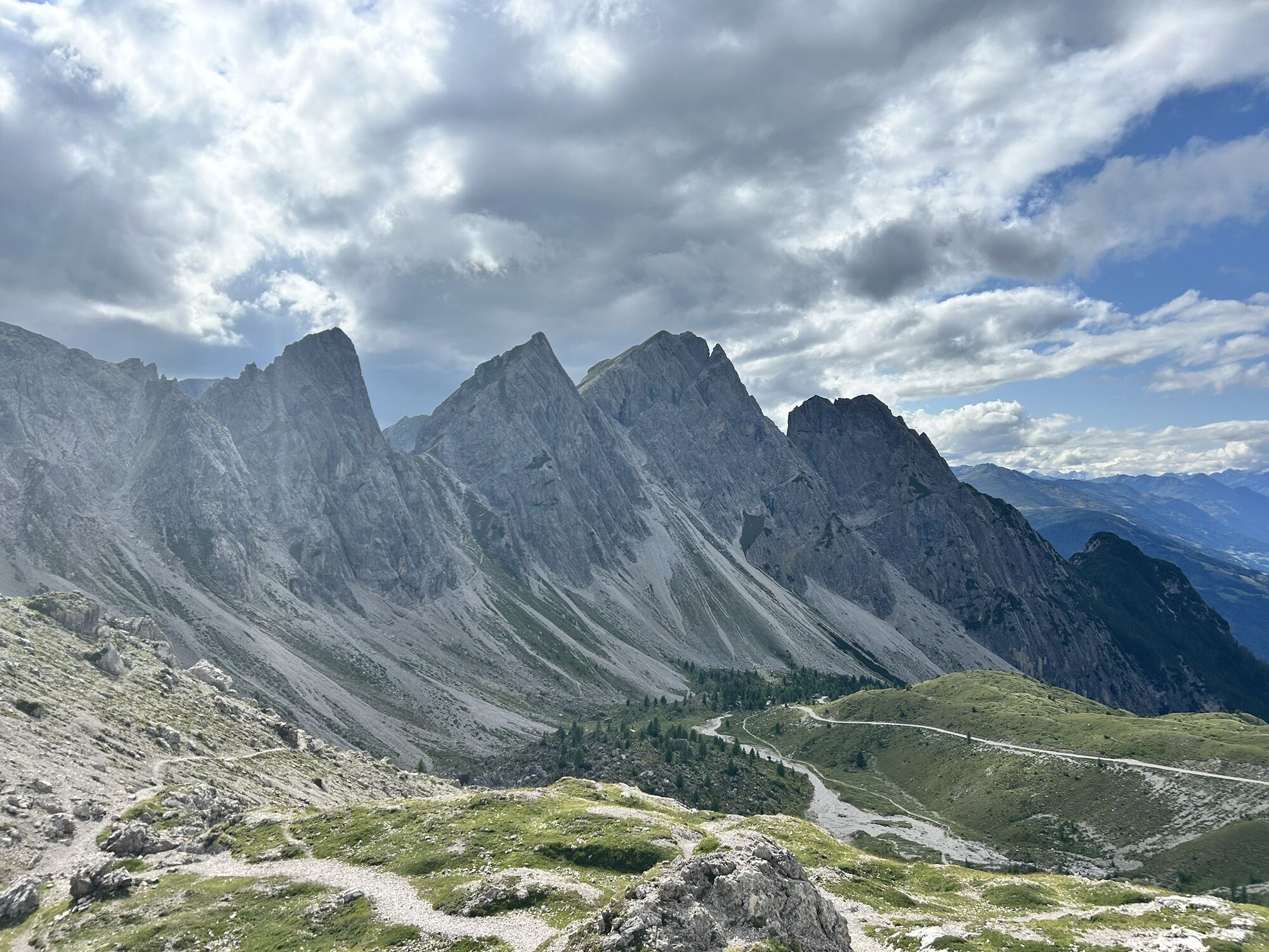
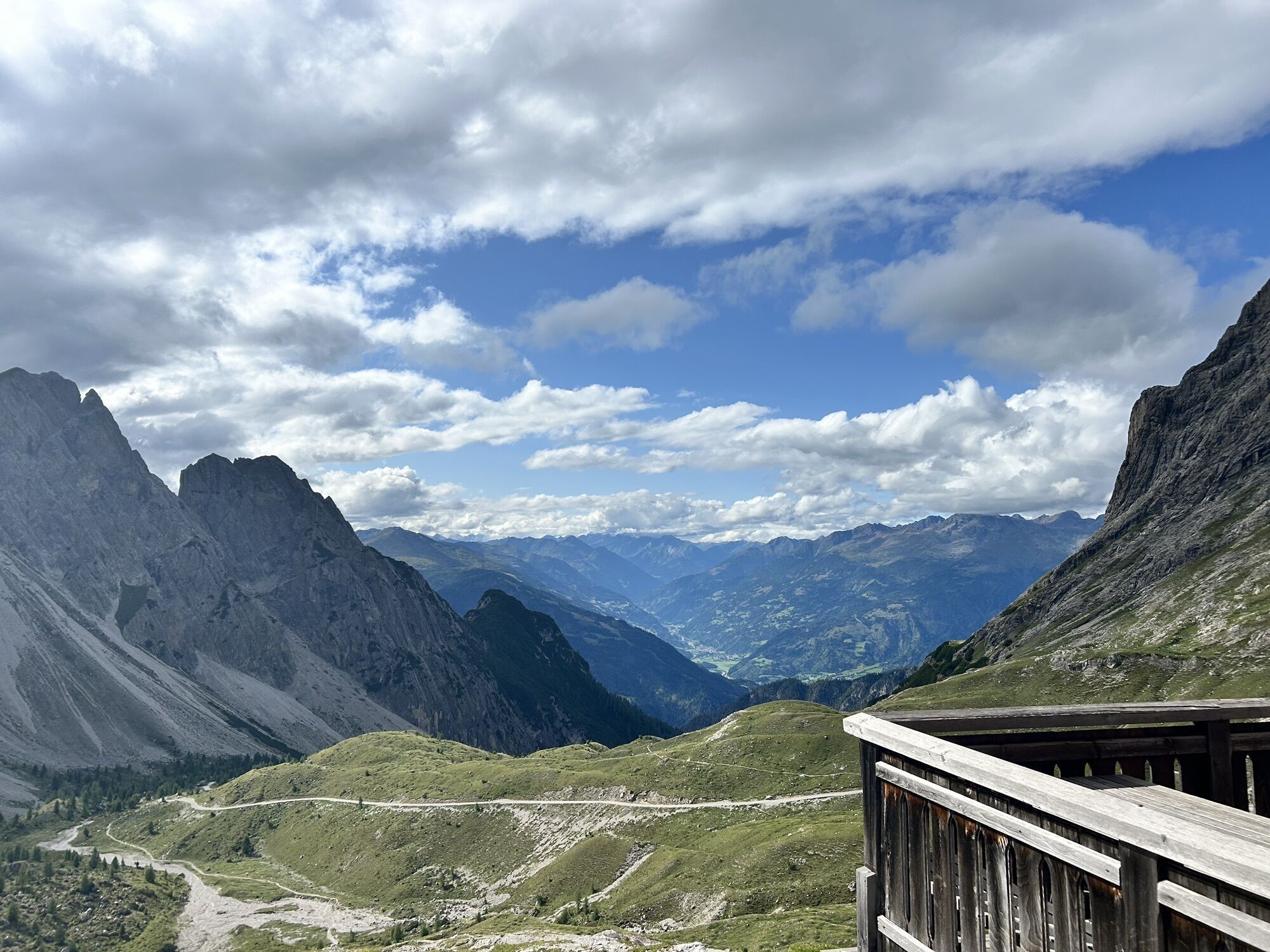

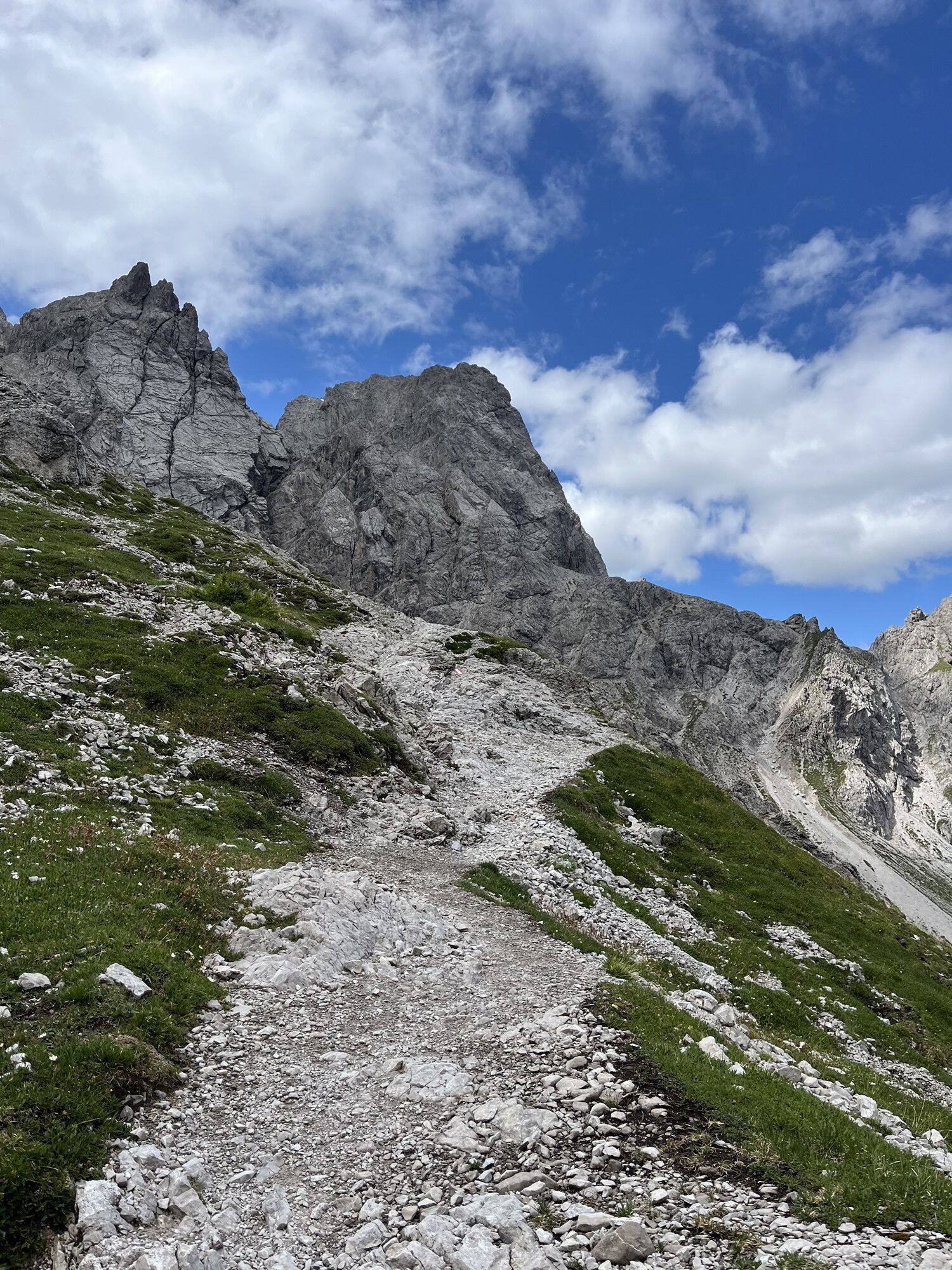
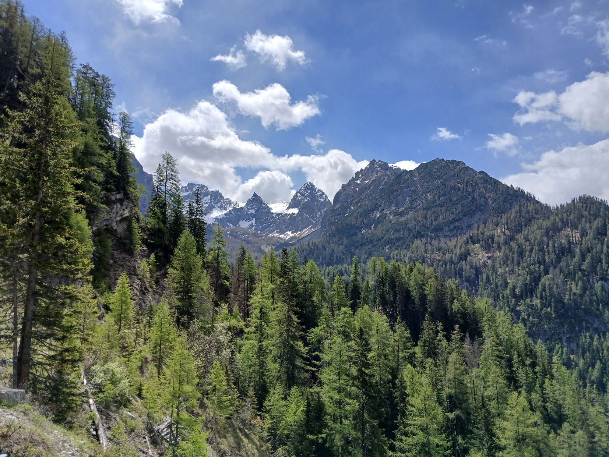


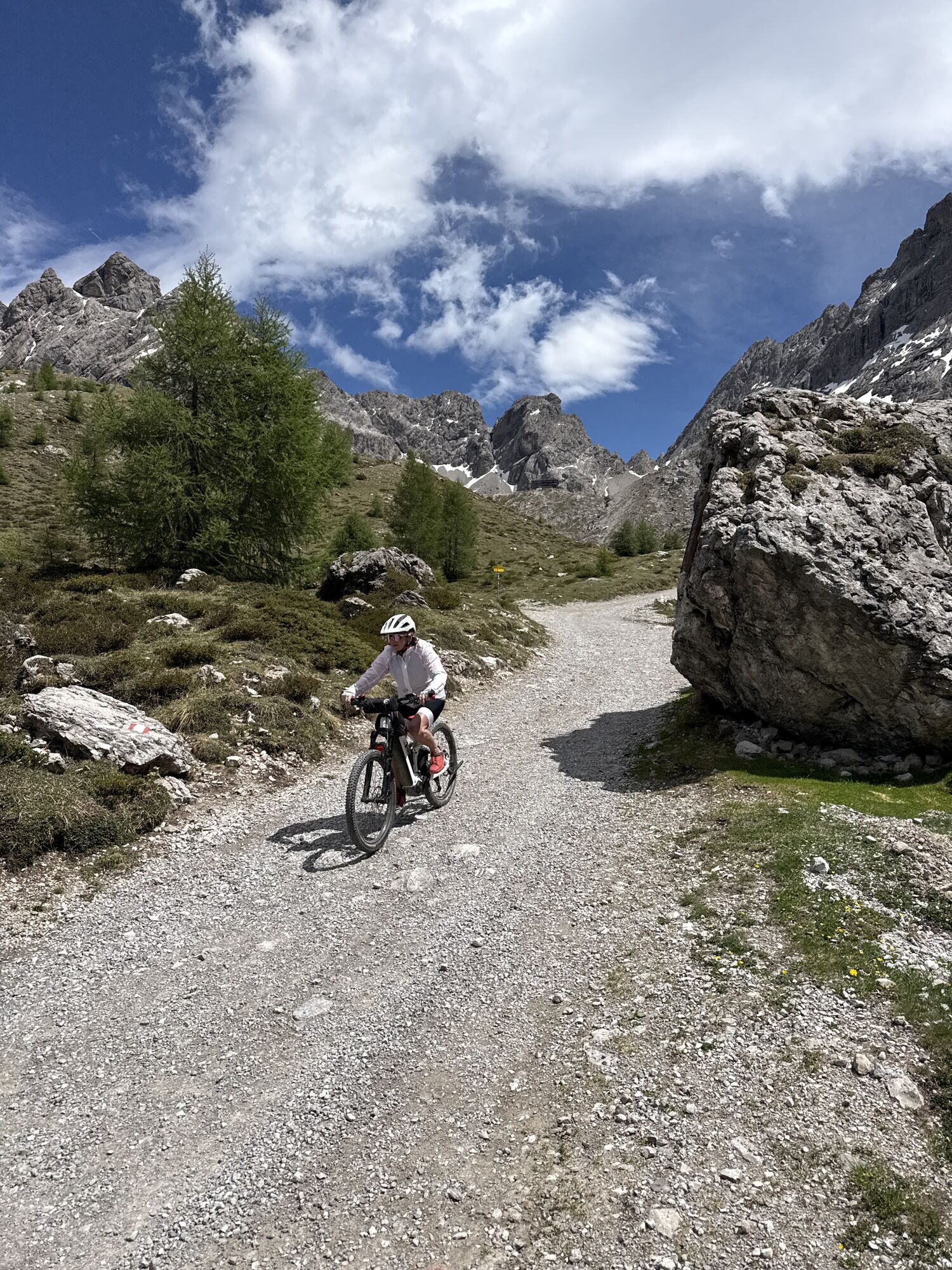
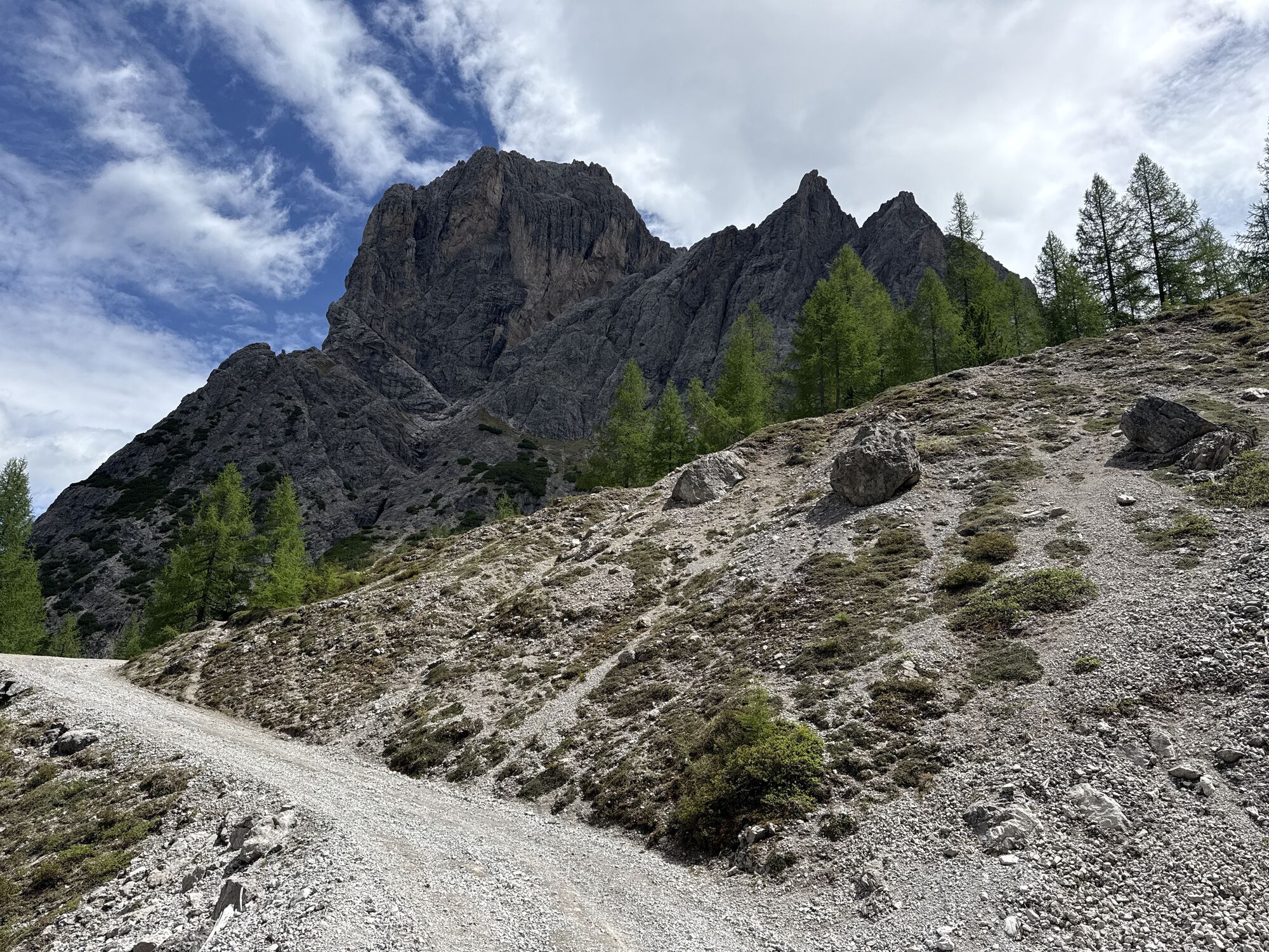
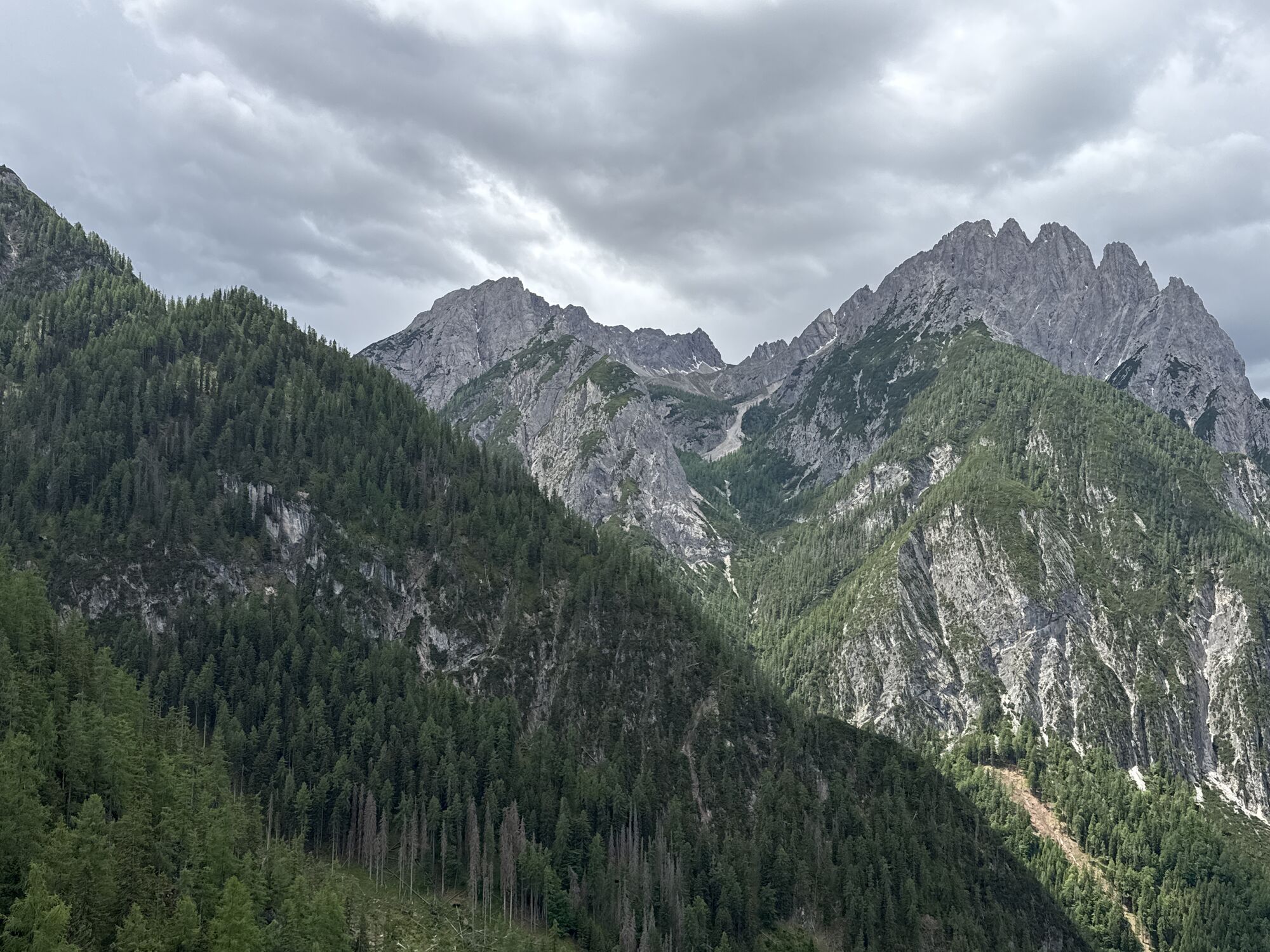
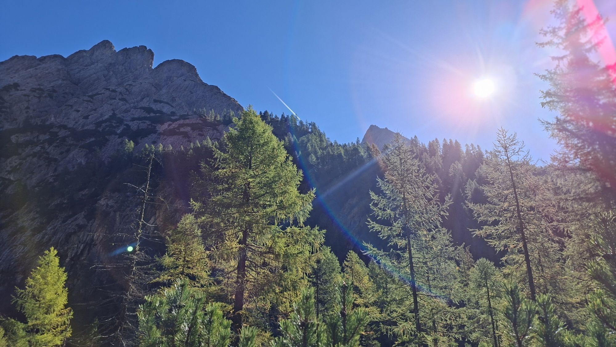
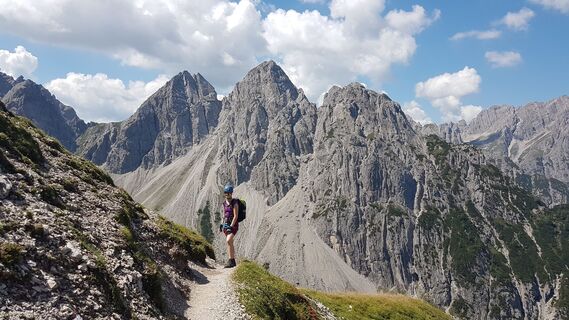
From the car park at the gorge bridge, follow the signposted path to Kerschbaumer Alm. After a rest, continue from there on the path to Kerschbaumer Törl, 2285m, up to Karlsbaderhütte. From here, descend...
Opis
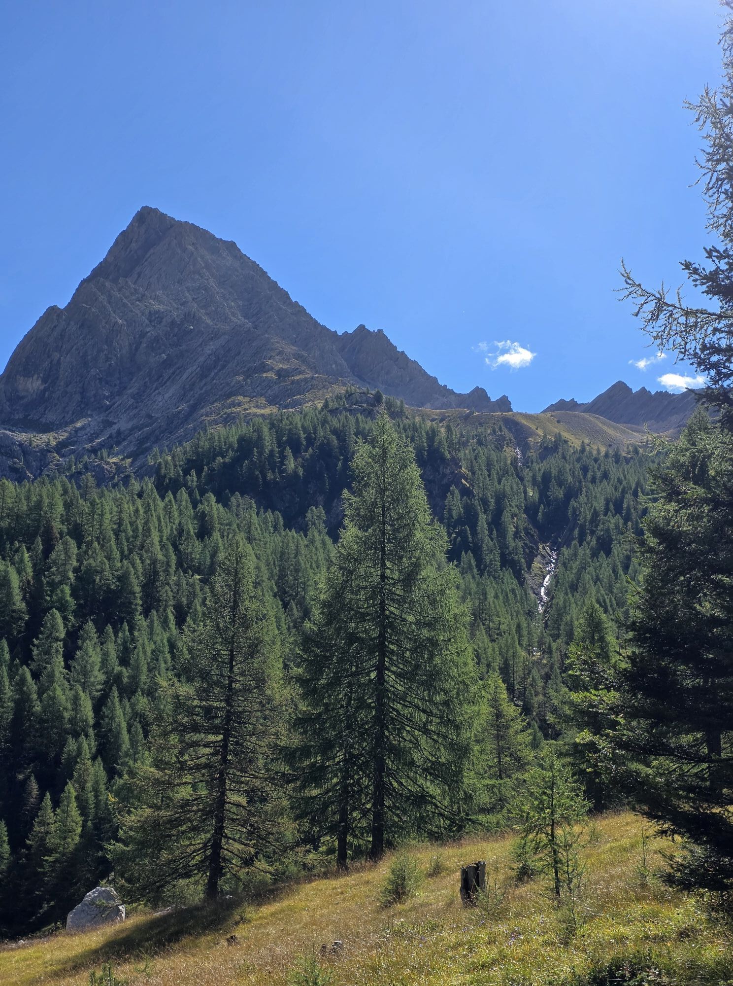
From the car park at the gorge bridge, follow the signposted path to Kerschbaumer Alm. After a rest, continue from there on the path to Kerschbaumer Törl, 2285m, up to Karlsbaderhütte. From here, descend via the Engeländer hiking trail to the Dolomitenhütte.
Alternatively, you may also leave out Karlsbaderhütte. To do this, after Kerschbaumer Törl, take the path to the left to Marcherstein, heading to Dolomitenhütte. This will save some 45 minutes of walking time.
Alternatively, you may also leave out Karlsbaderhütte. To do this, after Kerschbaumer Törl, take the path to the left to Marcherstein, heading to Dolomitenhütte. This will save some 45 minutes of walking time.
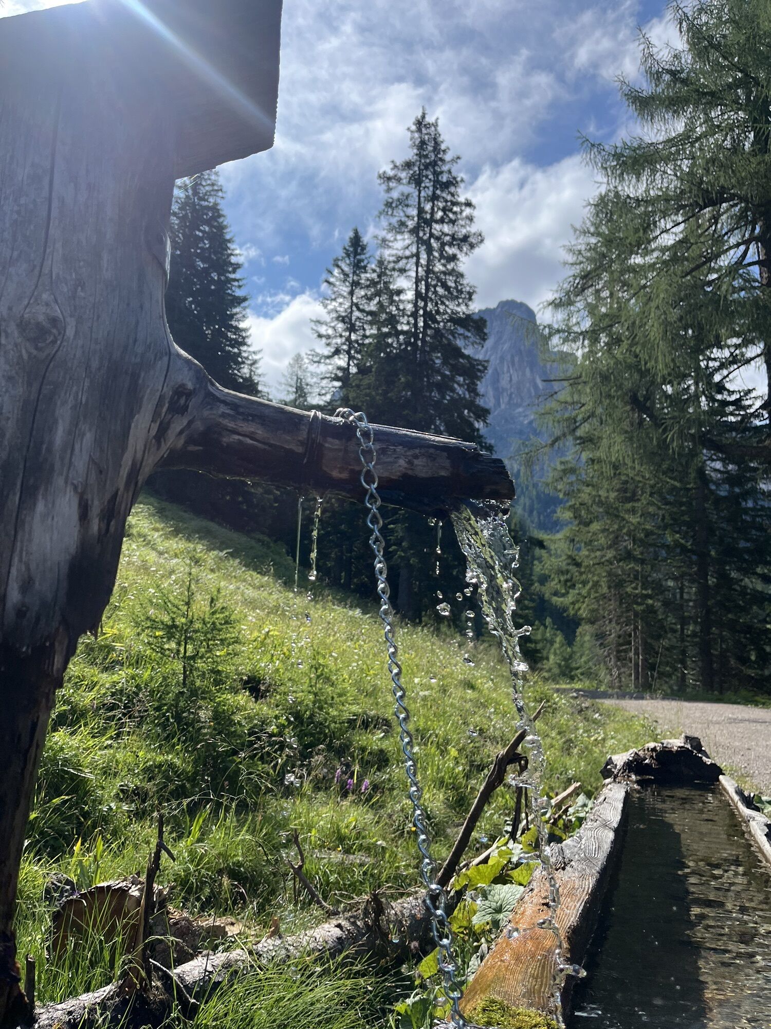
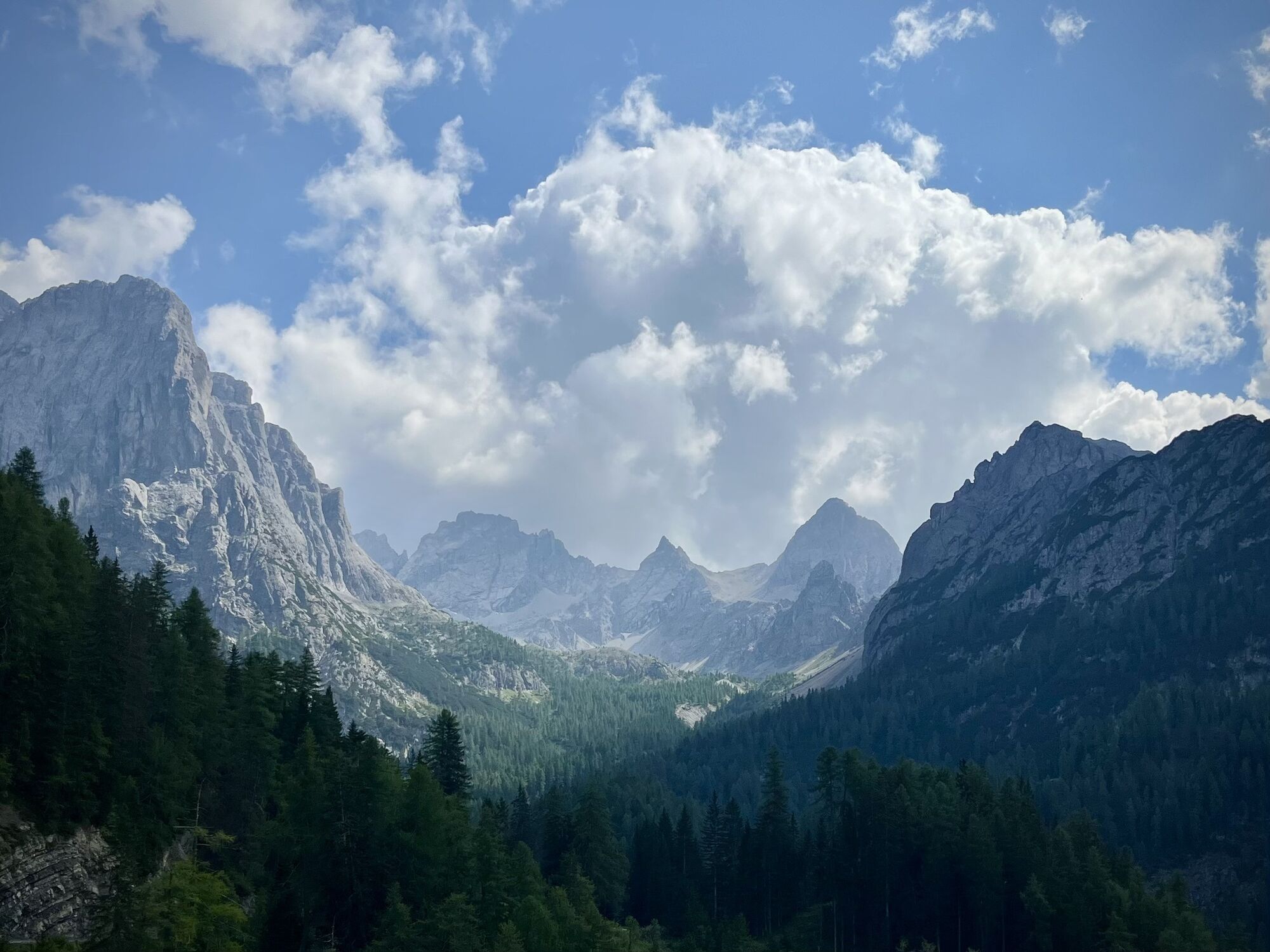
Pot
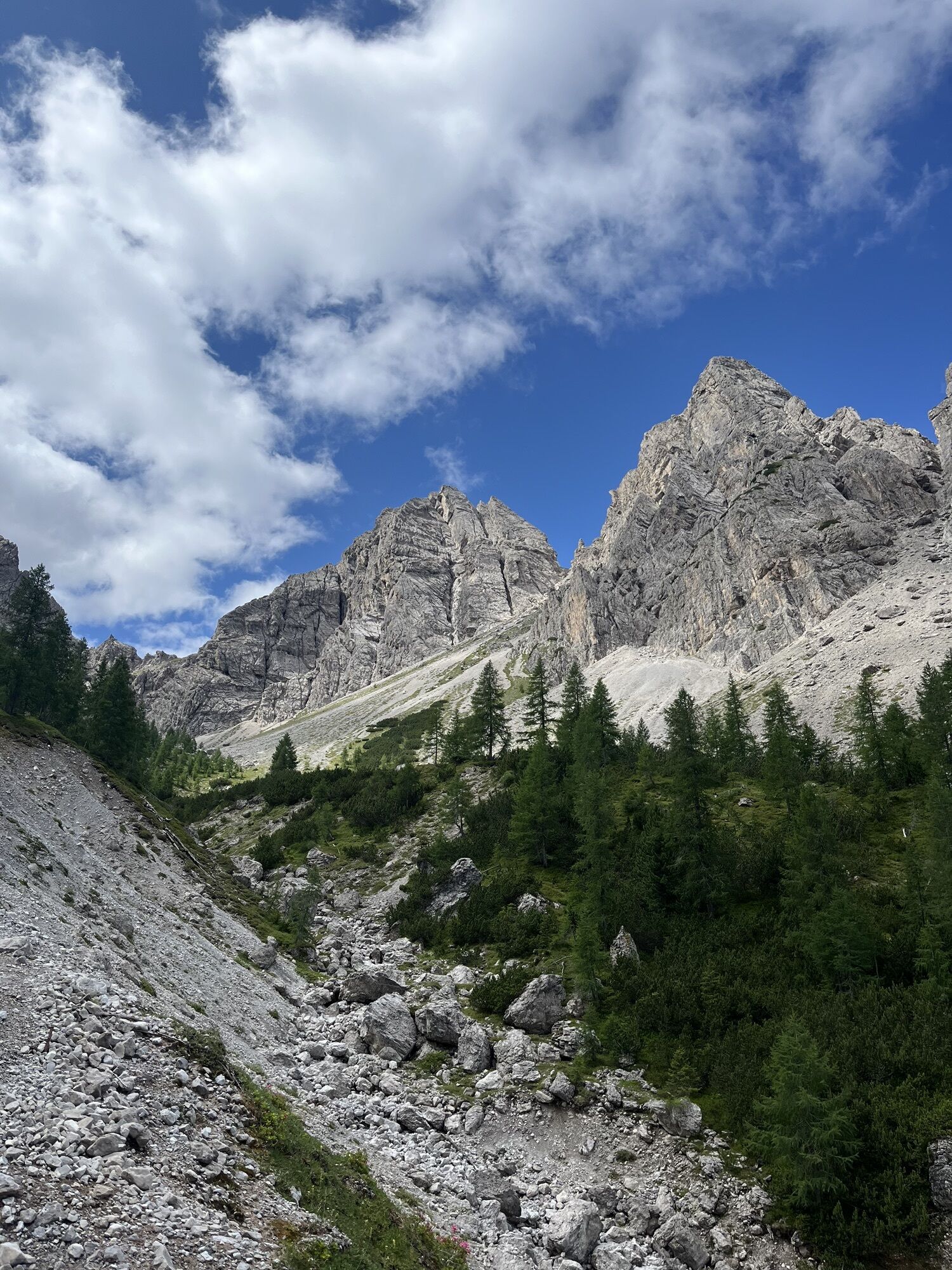
Klapffall
(1.716 m)
Slap
3,4 km
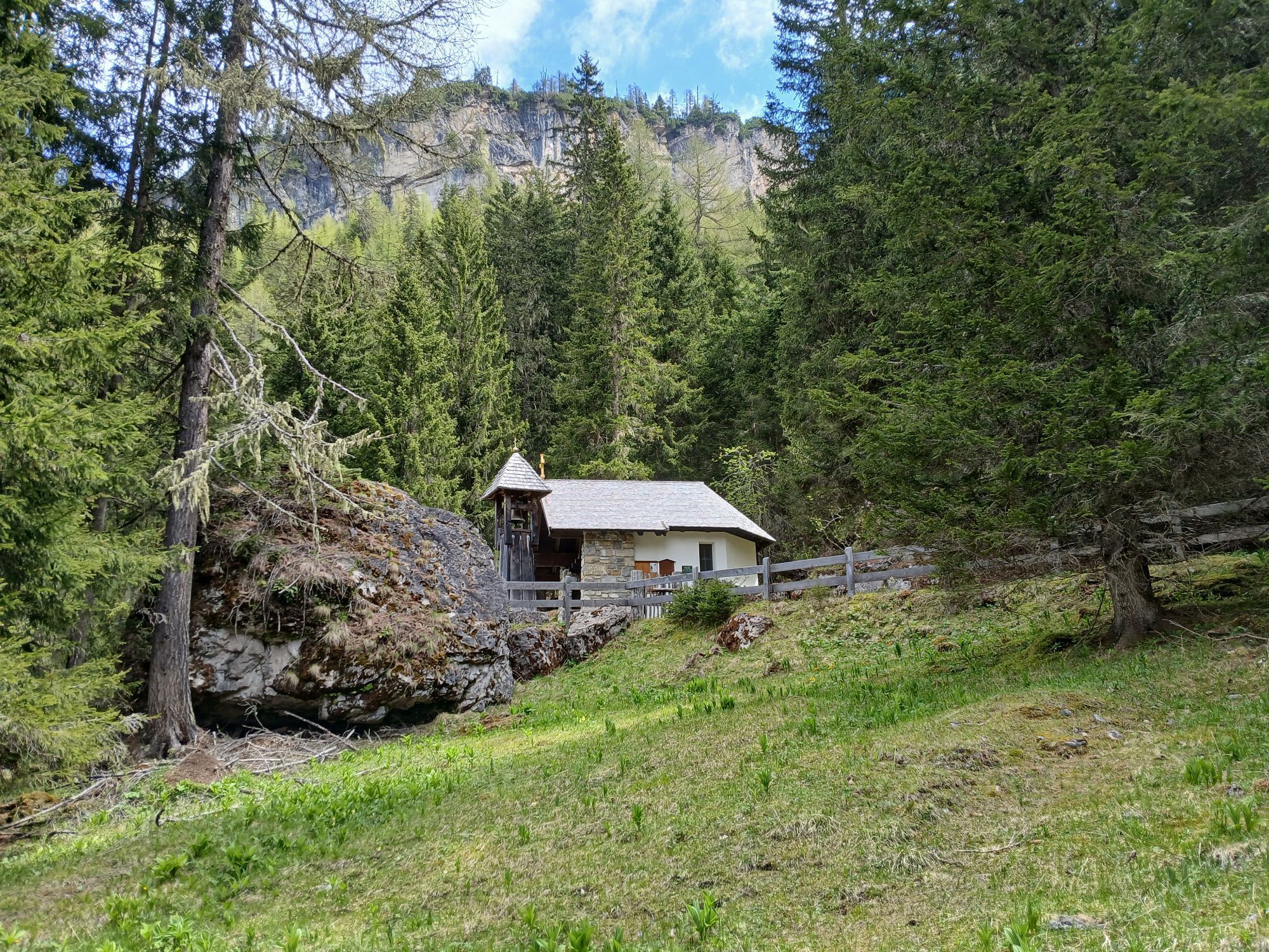
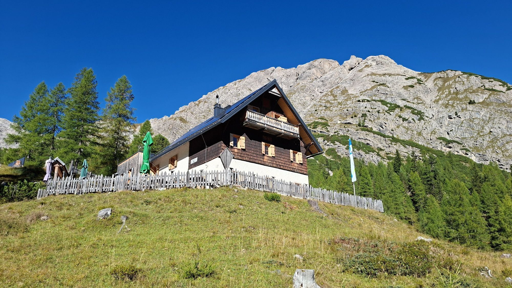
Kerschbaumeralm Schutzhaus
(1.903 m)
Zavetišče
4,5 km
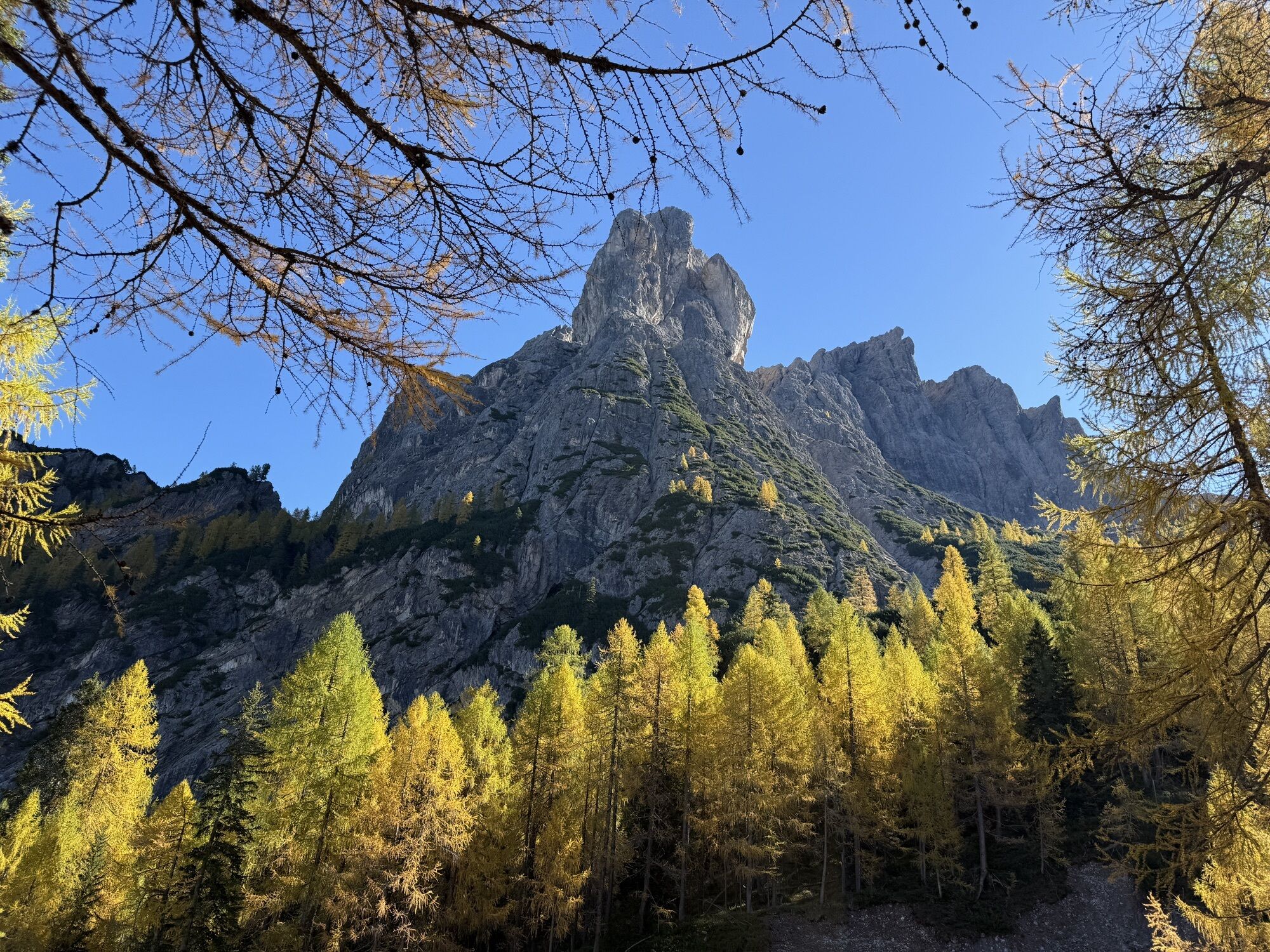
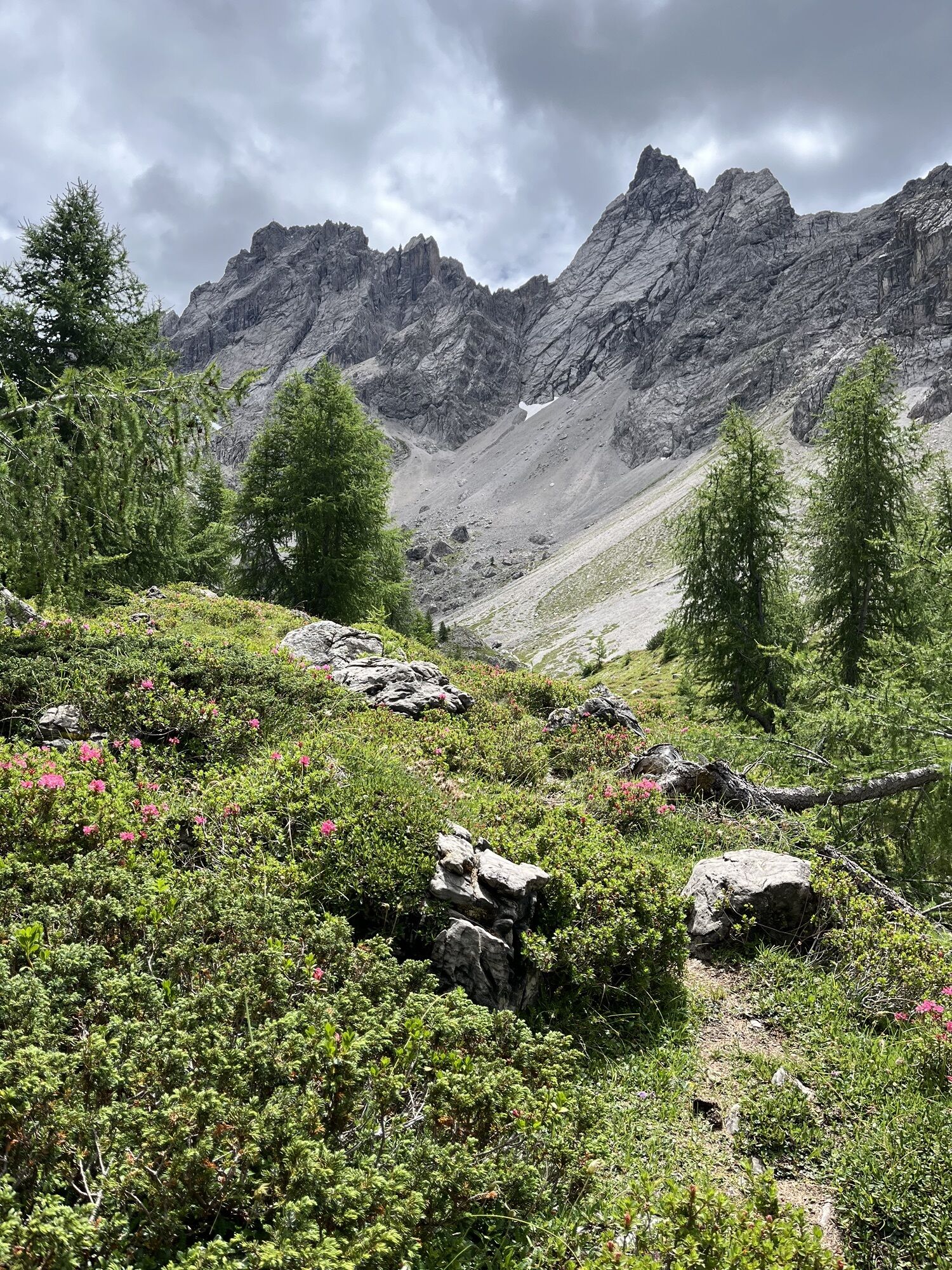
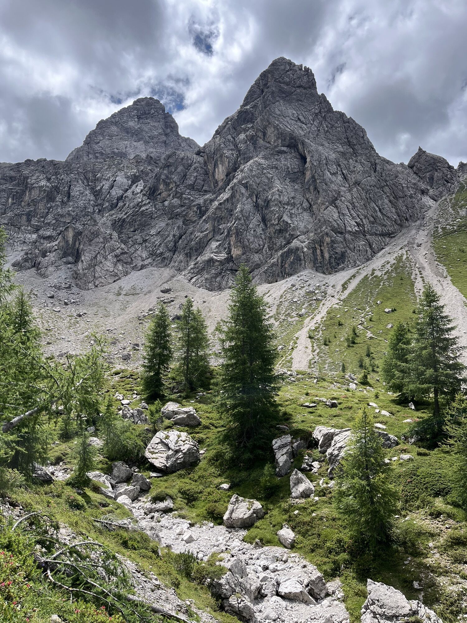
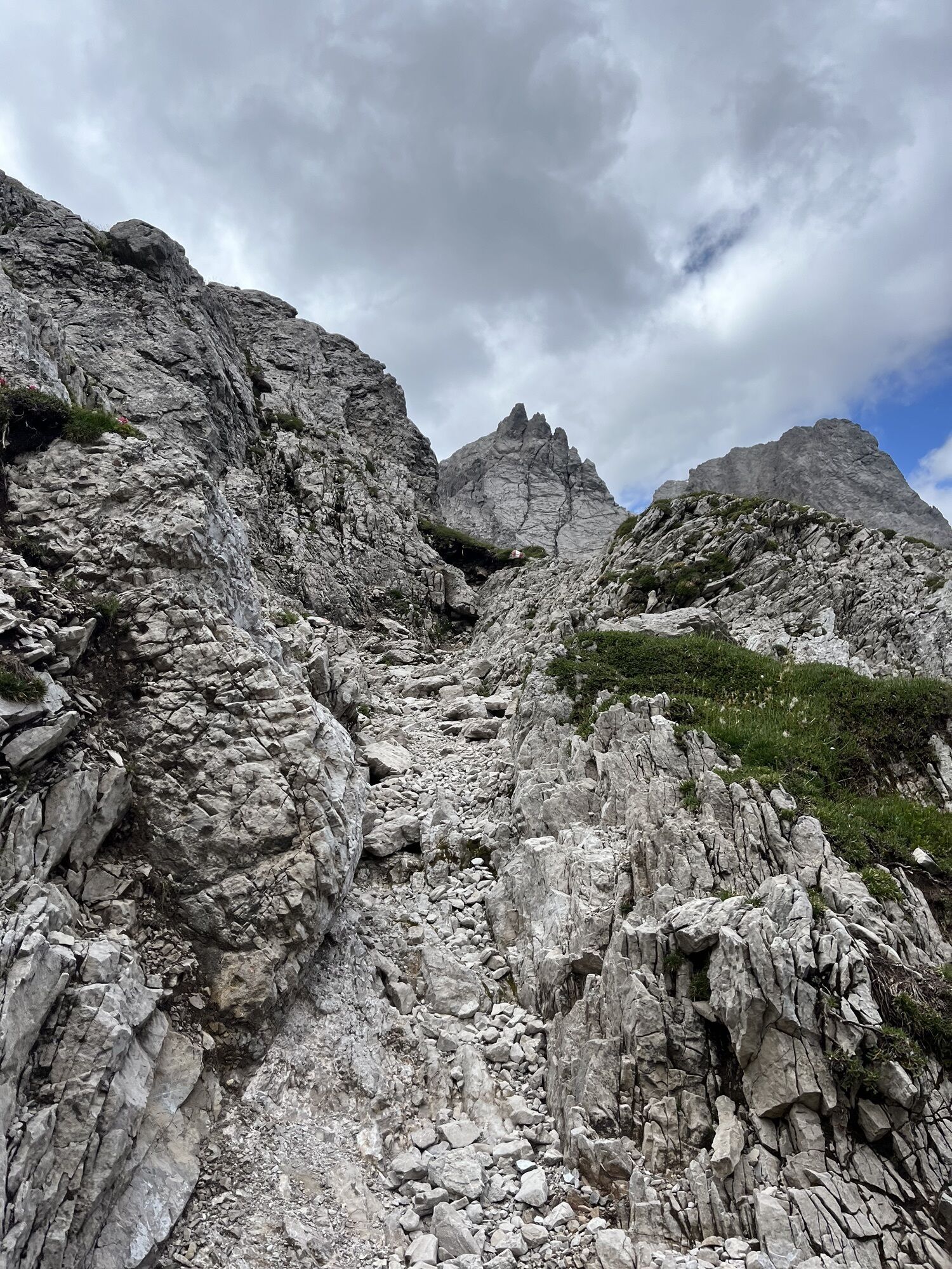
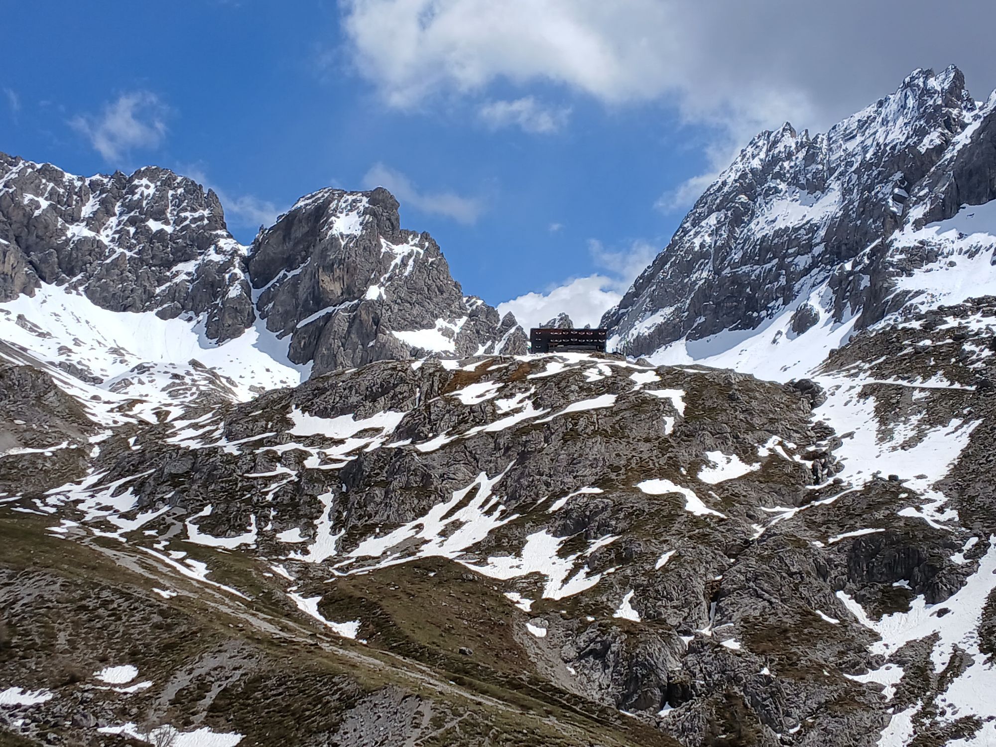
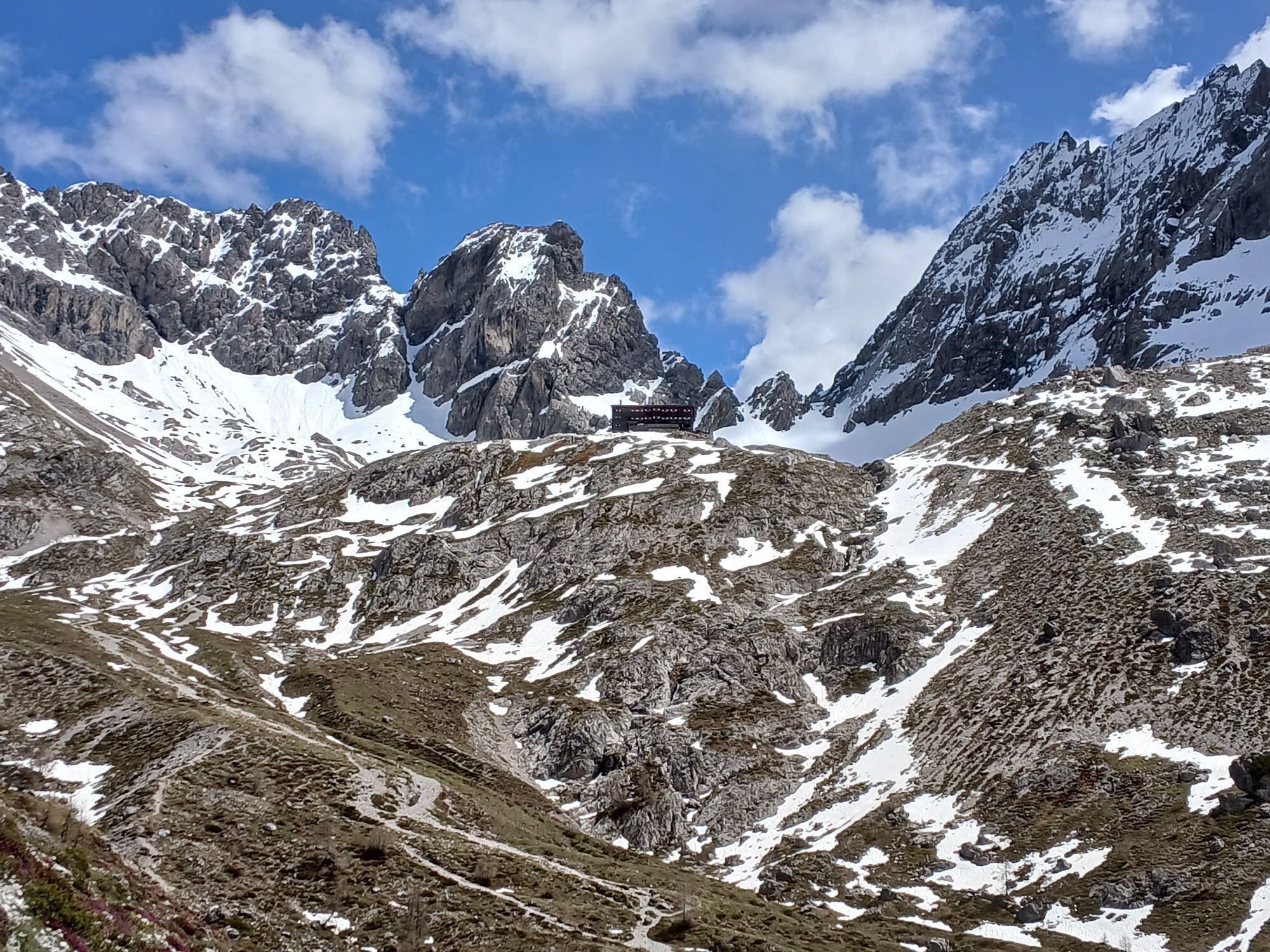
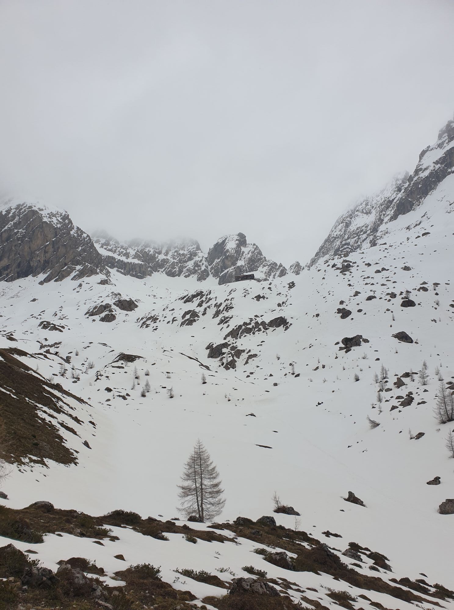
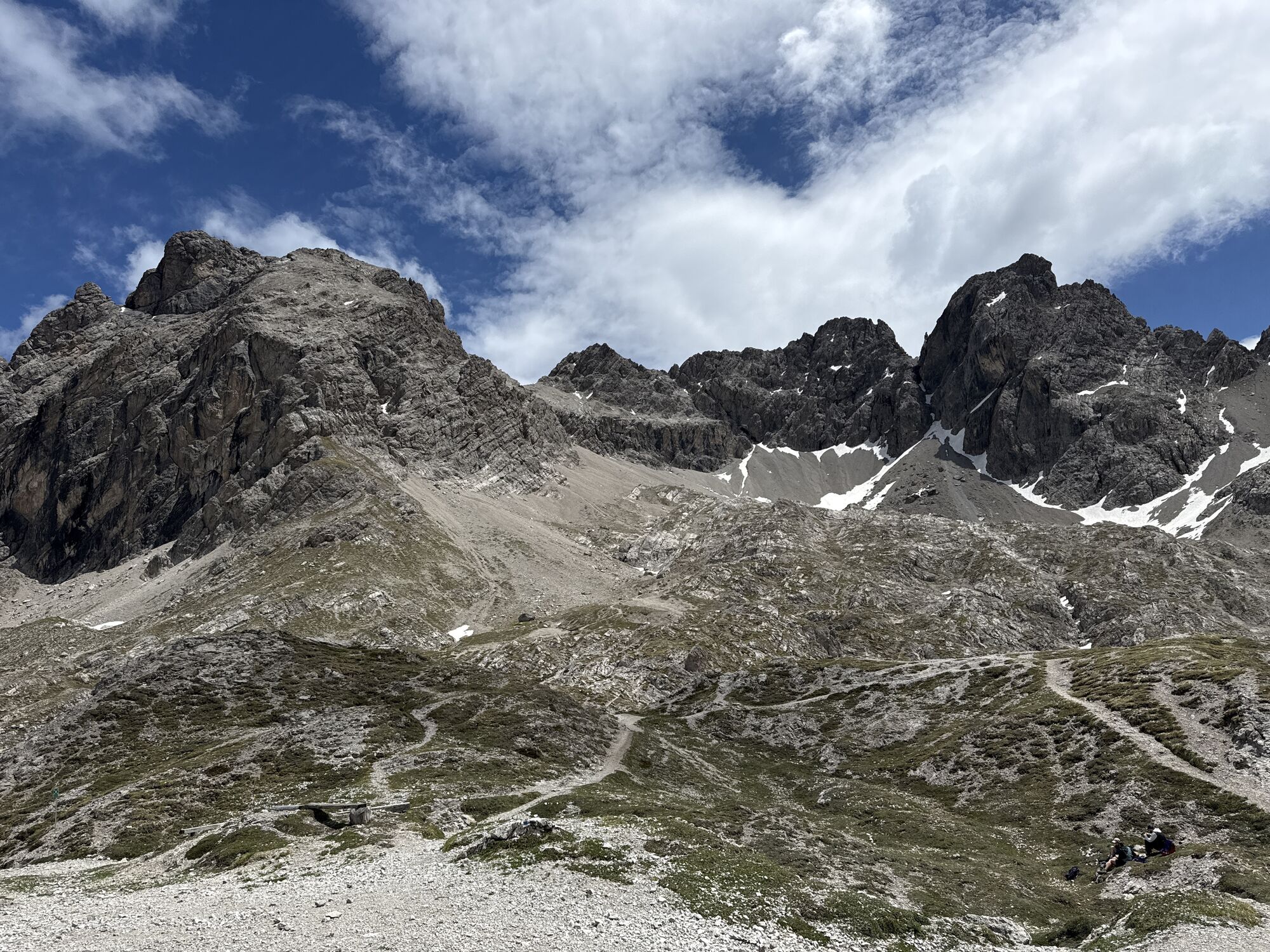
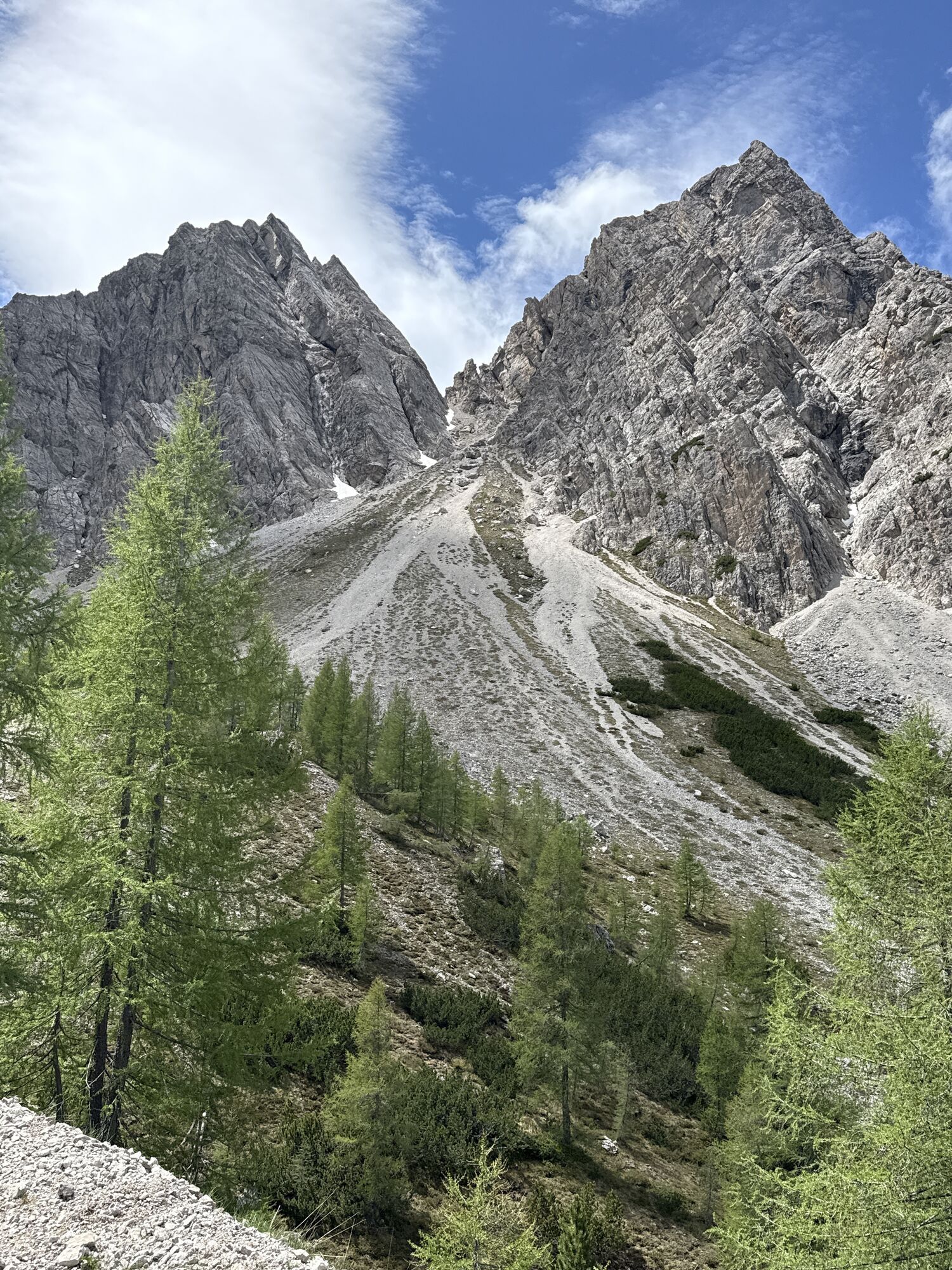
Kerschbaumer Törl
(2.285 m)
Gorski prelaz
6,8 km
Kerschbaumertörl
(2.285 m)
Gorsko sedlo
6,8 km
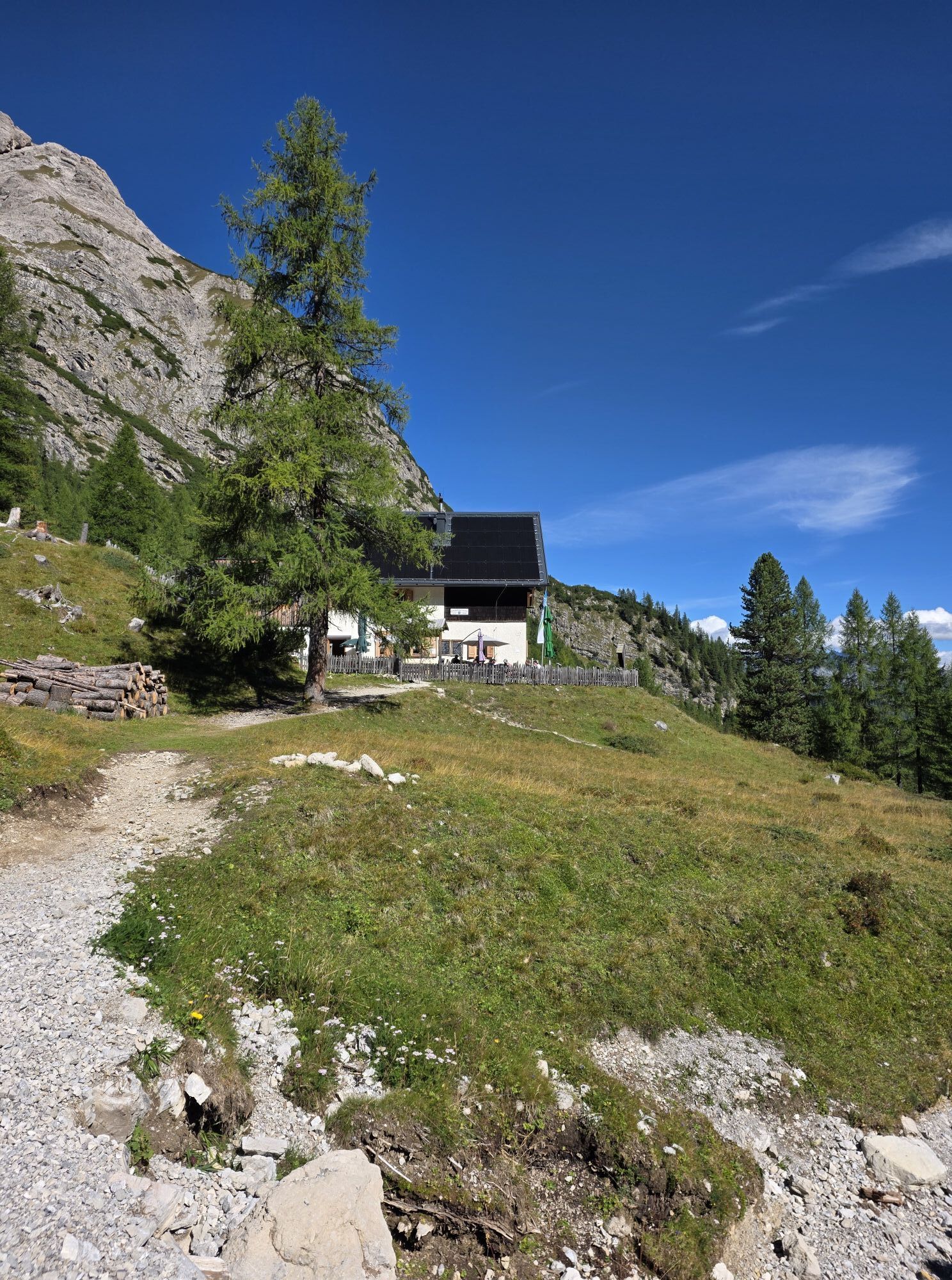
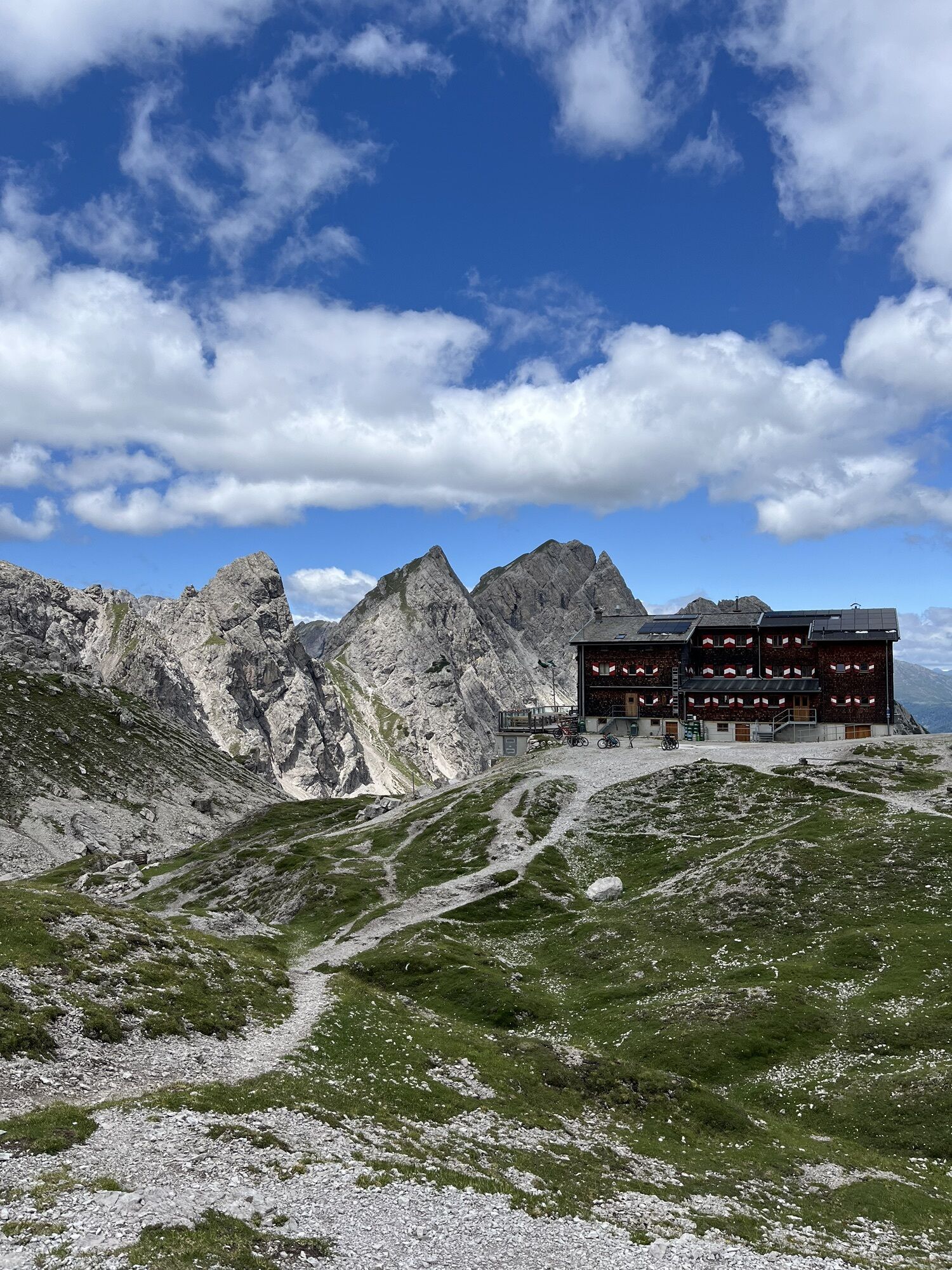
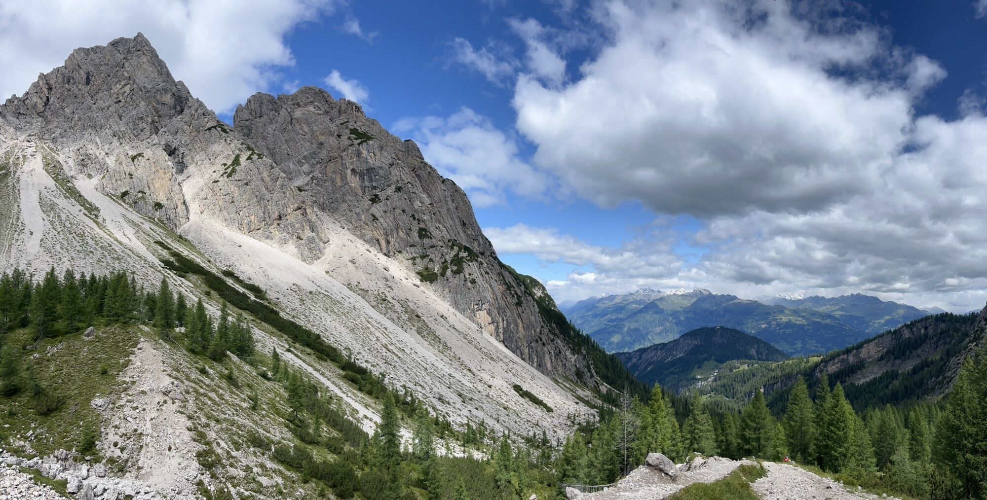
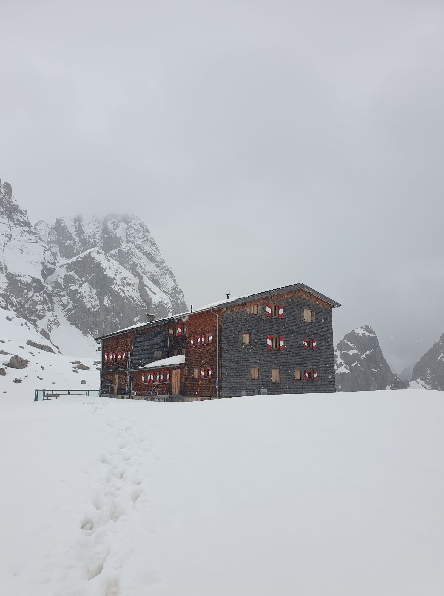
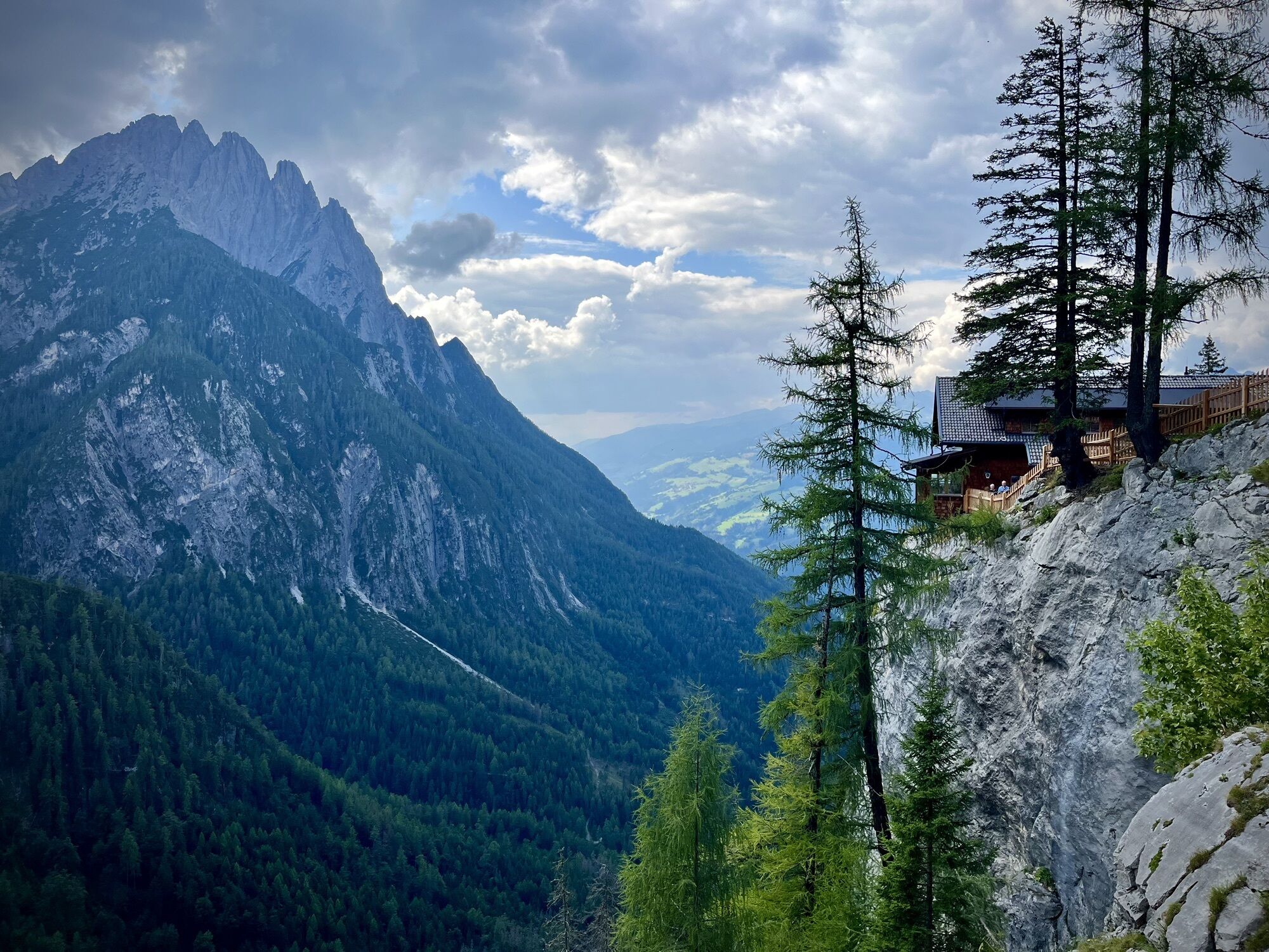
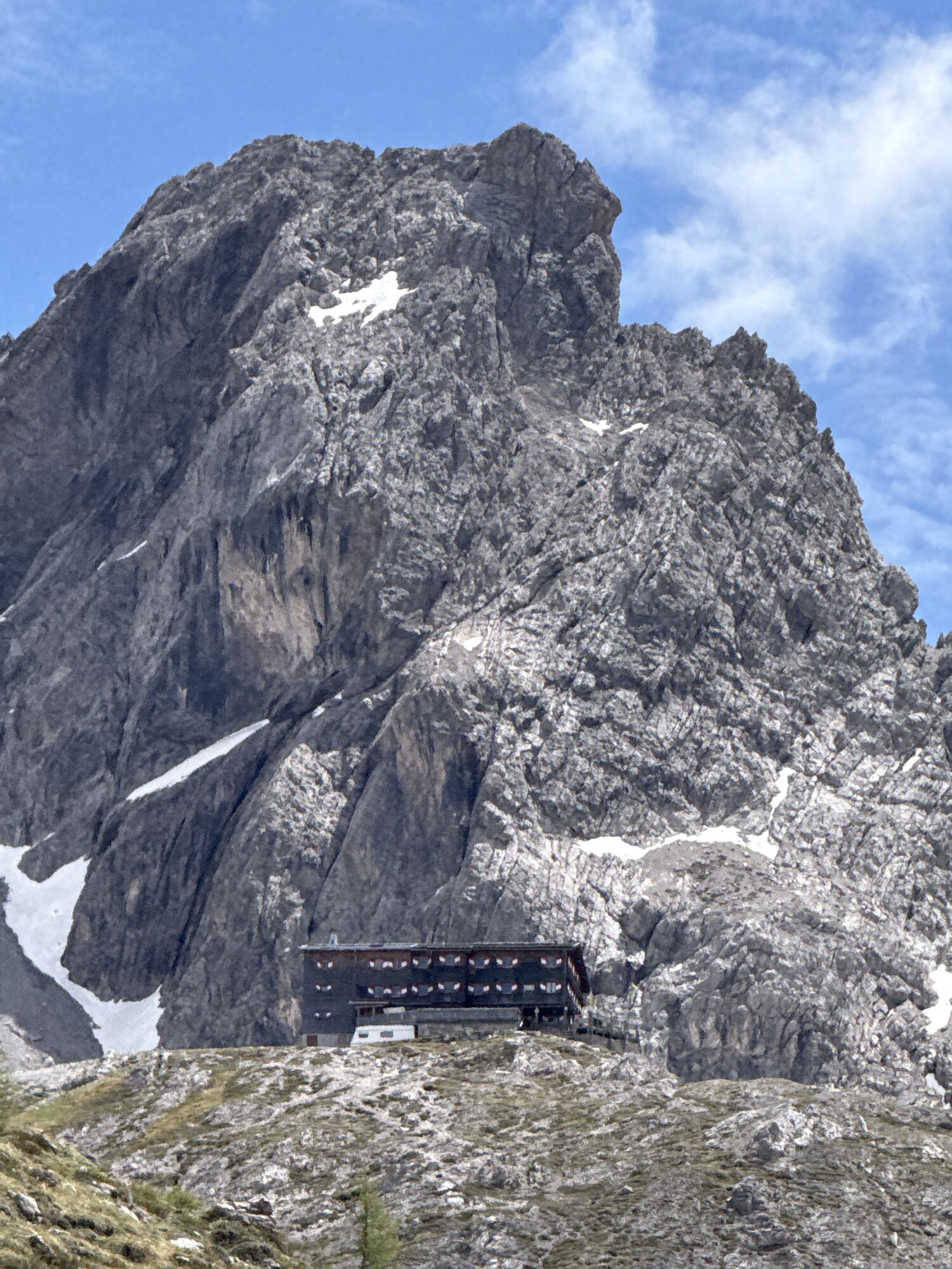
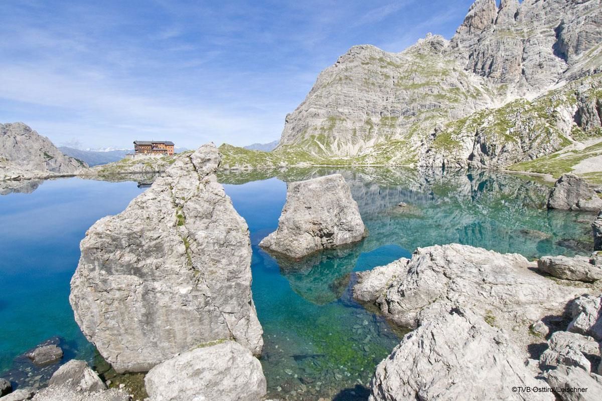
Karlsbader Hütte
(2.259 m)
Zavetišče
8,1 km
Dolomitenhütte
(1.610 m)
Zavetišče
12,2 km
Pot
Kerschbaumeralm bothy - Karlsbaderhütte – Dolomitenhütte
srednja
Pohodništvo
12,28
km

Zadnji spremljani
4 dni nazaj
Informacije o prihodu
Prihod
Mit dem Auto über Amlach bis zum Parkplatz Klammbrückl.
Parkirišče
Parkplatz Klammbrückl
Vrednotenja
1 Komentar:
Bruno Neumayr 1
21. ජූනි. 2026
Kerschbaumeralm
Vor 9 Uhr starten, um nicht in der prallen Sonne zu wandern.
Dejavnosti na poti


Amlach, Tirol/Österreich
21.06.2026 – Gorski pohodništvo
Tristach, Tyrol/Austria
13.06.2026 – Pohodništvo
Amlach, Tirol/Österreich
08.06.2026 – Gorski pohodništvo
Amlach, Tirol/ Kerschbaumalm
31.08.2025 – Pohodništvo
Tristach, Tirol/Österreich
27.08.2025 – PohodništvoAmlach, Tirol/Österreich
11.08.2025 – Pohodništvo
Tristach, Tirol/Österreich
07.08.2025 – PohodništvoAmlach, Tyrol/Austria
19.05.2025 – Pohodništvo
Dolomitenhütte - Karlsbader Hütte mit Nina
12.08.2020 – Pohodništvo
Priljubljeni izleti v okolici
- 5,0
Ederplan round from the parking lot Stronach
srednjaPohodništvo 7,19 km - 4,7
Karlsbader Hütte über Rudl-Eller-Weg
težkoPohodništvo 5,10 km - 4,8
Pirknerklamm (C)
srednjaVia ferrata 2 km - 4,8
Lienzer Dolomiten-Lasertörl
srednjaPohodništvo 13,2 km - 4,7
Obergail - Obergailer Alm - Obergailer Lake - Enderberg hut - Source for Health & Peace - Madonna circular hiking route - Obergail
srednjaPohodništvo 11,4 km - 3,9
Karlsbader Hütte - Lienzer Dolomiten
Pohodništvo 8 km - 4,2
Straßkopf
srednjaPohodništvo 4,06 km - 3,9
Summit hike to the Hochstadel
srednjaPohodništvo 7,83 km - 4,3
Connyalm (2.070 m)
Pohodništvo 6,36 km - 3,2
Straßkopf
srednjaSmučarska tura 10,6 km
Pohodništvo in sledenje

Zaradi več kot 550.000 predlogov izletov, podrobnih zemljevidov in intuitivnega načrtovanja poti je aplikacija obvezna oprema za vse ljubitelje narave.

Ne zamudite ponudb in navdiha za naslednje počitnice
Naročite se na novice
Napaka
Zgodila se je napaka. Prosimo, poskusite znova.Zahvaljujemo se vam za prijavo
Vaš e-poštni naslov je bil dodan na poštni seznam.
Izleti po vsej Evropi
Avstrija Švica Nemčija Italija Slovenija Francija Nizozemska Belgija Poljska Lihtenštajn Češka Slovaška Španija Chorvátsko Bosna in Hercegovina Luksemburg Andora පෘතුගාලය අයිස්ලන්තය එක්සත් රාජධානිය අයර්ලන්තය ග්රීසිය ඇල්බේනියාව North Macedonia Malta Norway Montenegro Moldova කොසෝවො හන්ගේරියානු සමුහාණ්ඩුව San Marino රුමේනියාව එස්ටෝනියා ලැට්වියාව බෙලාරස් සයිප්රස් Lithuania Serbia බල්ගේරියාව Monaco ඩෙන්මාර්කය Sweden ෆින්ලන්තය