







Straßkopf
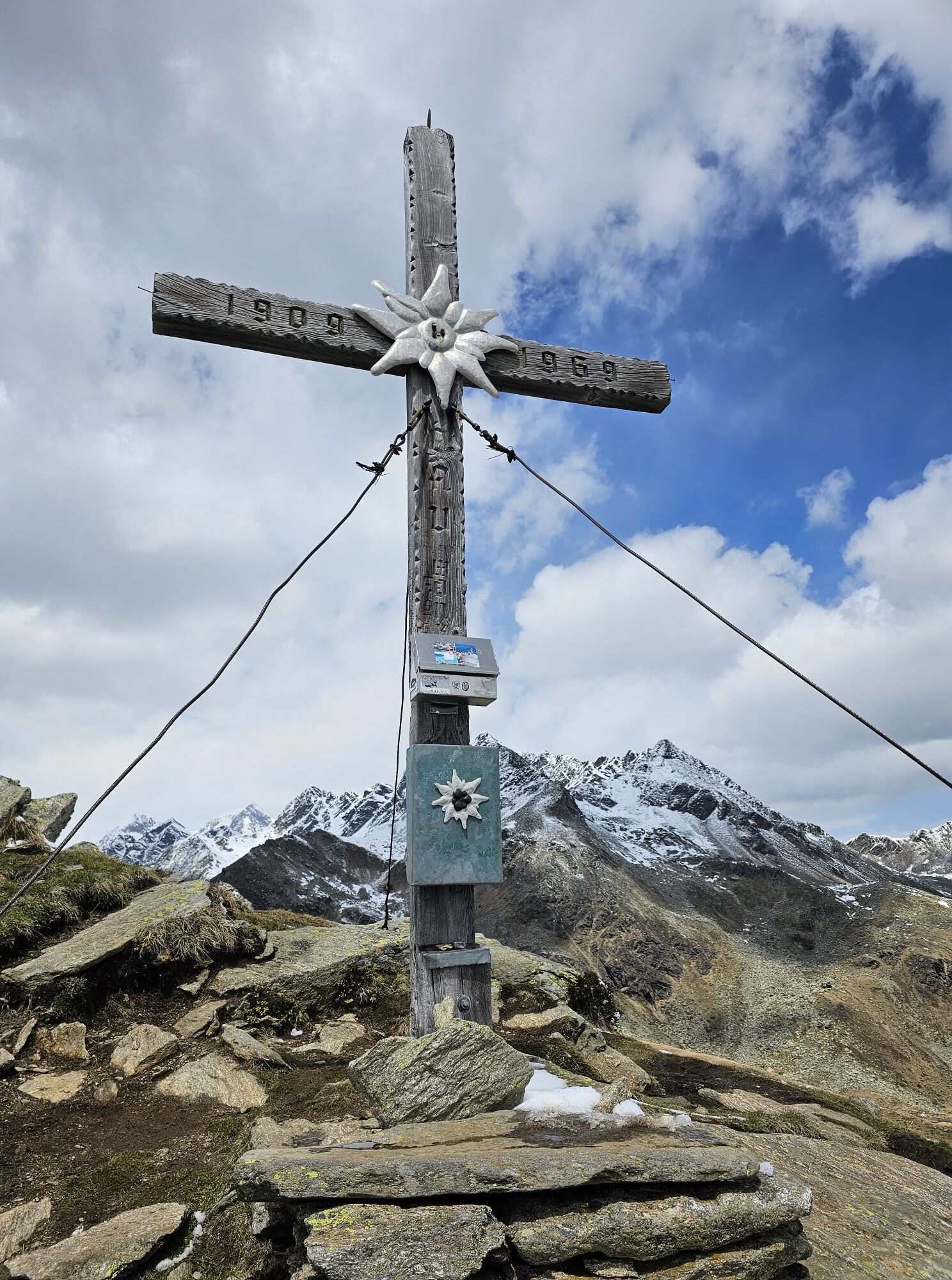
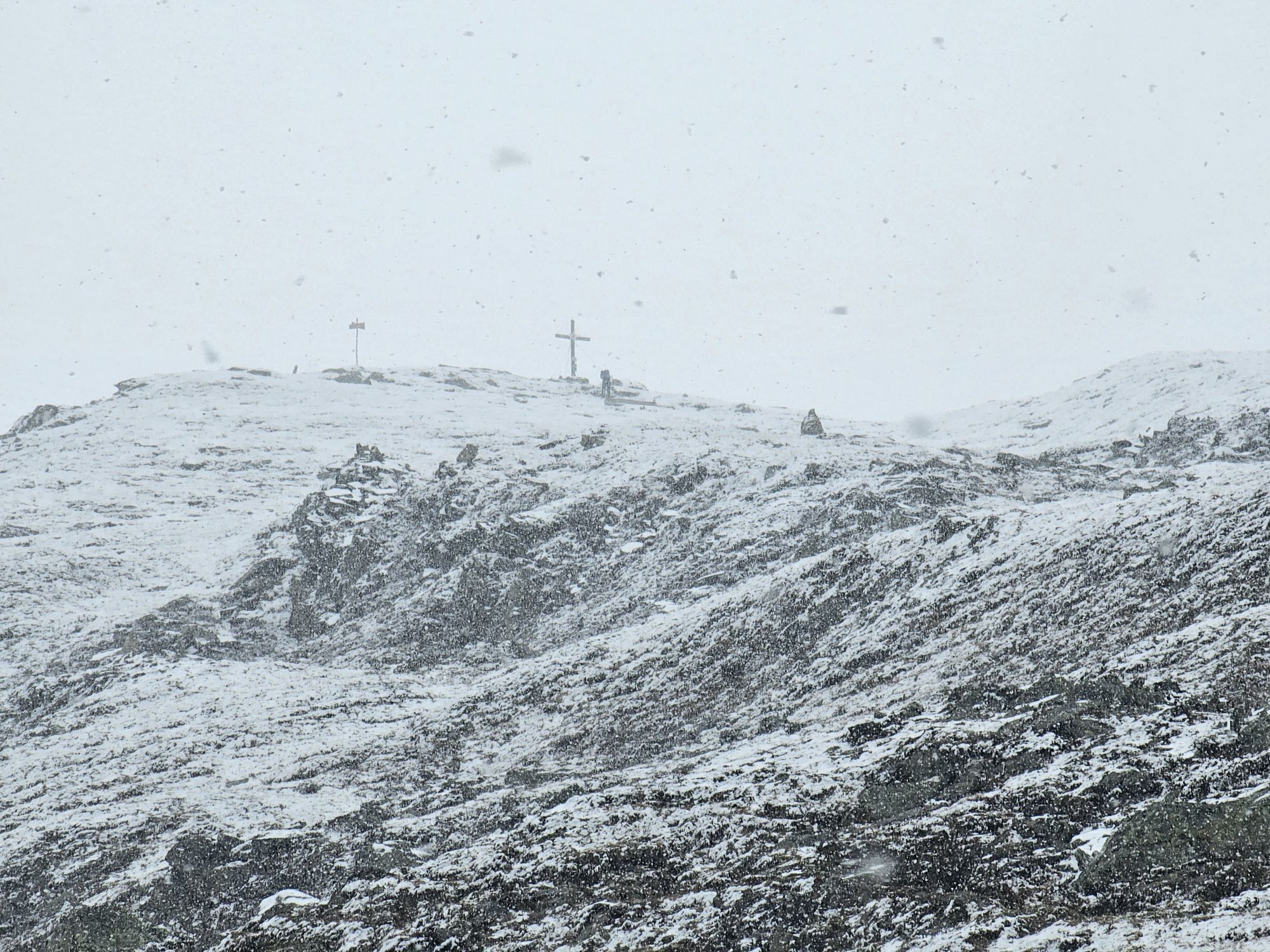
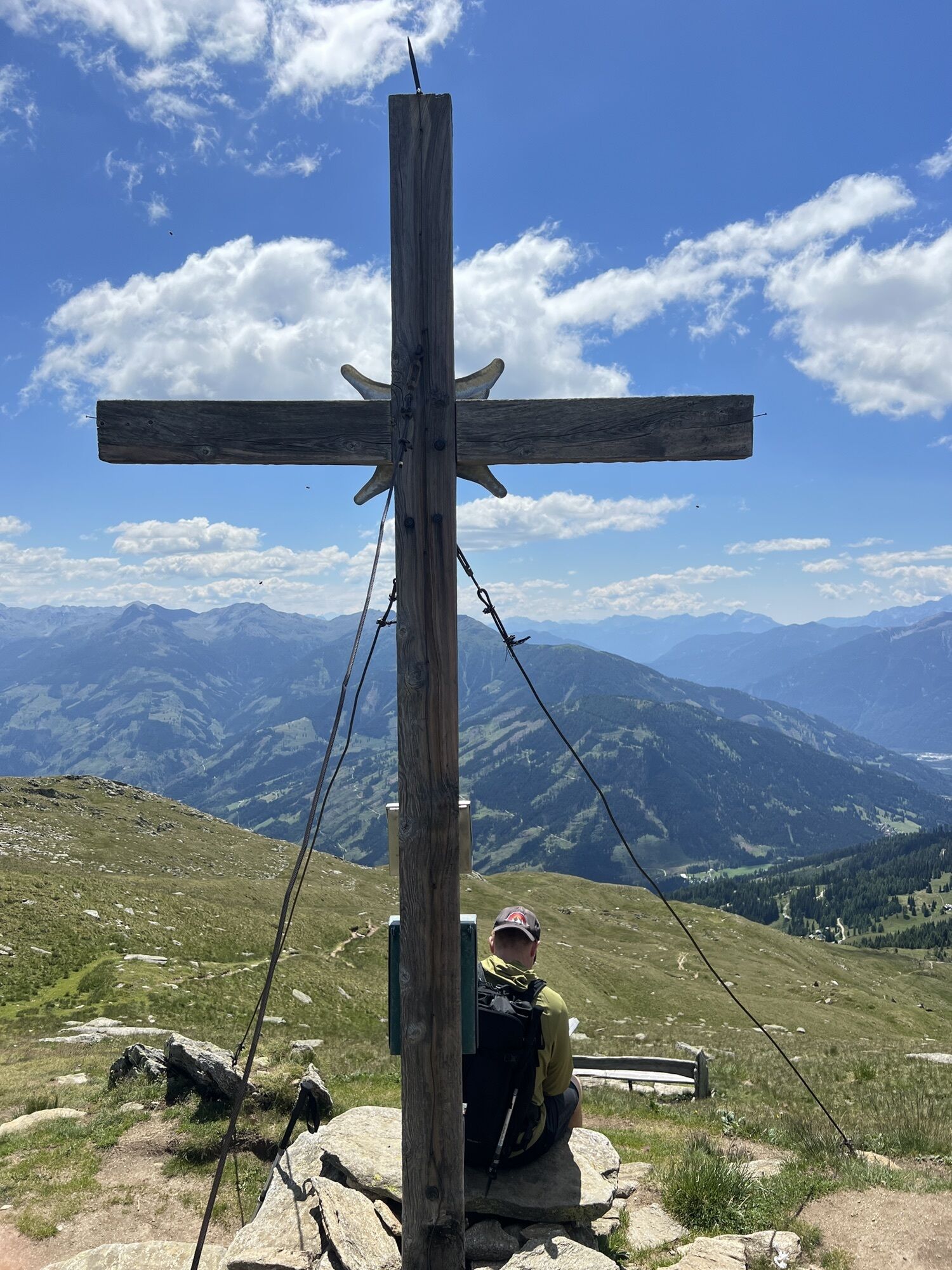
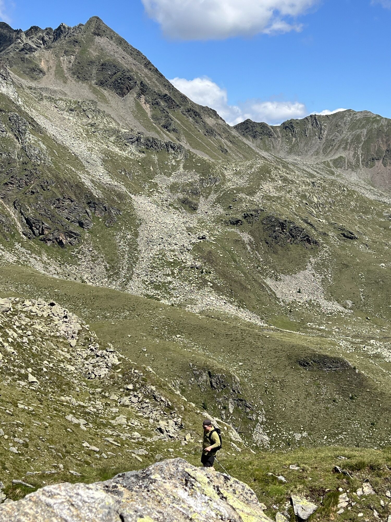





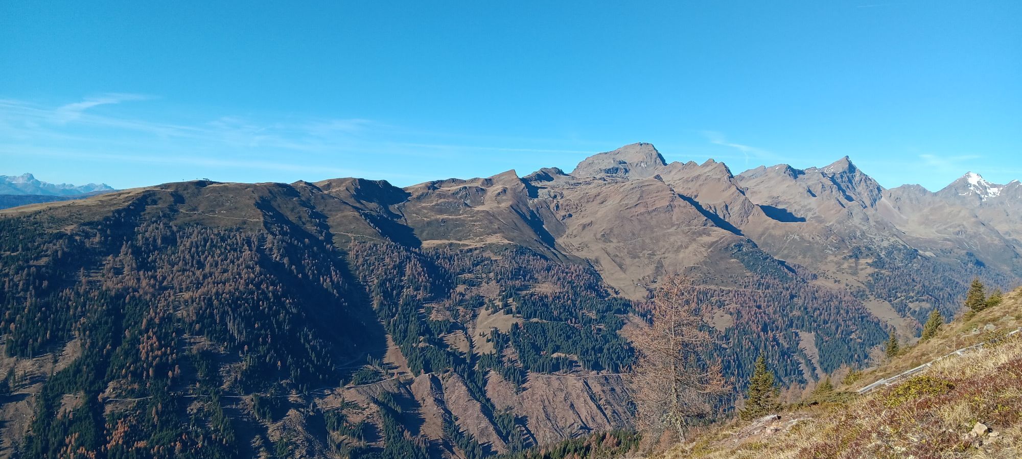
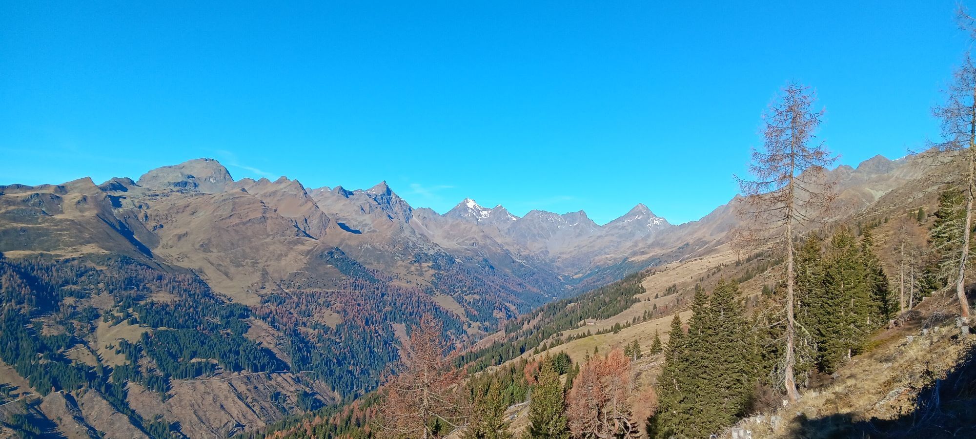
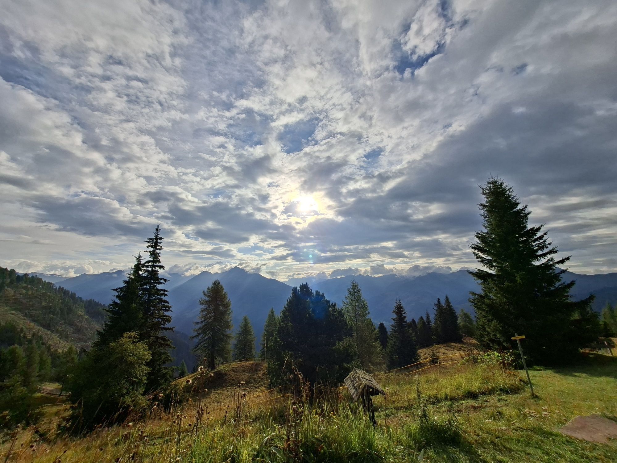
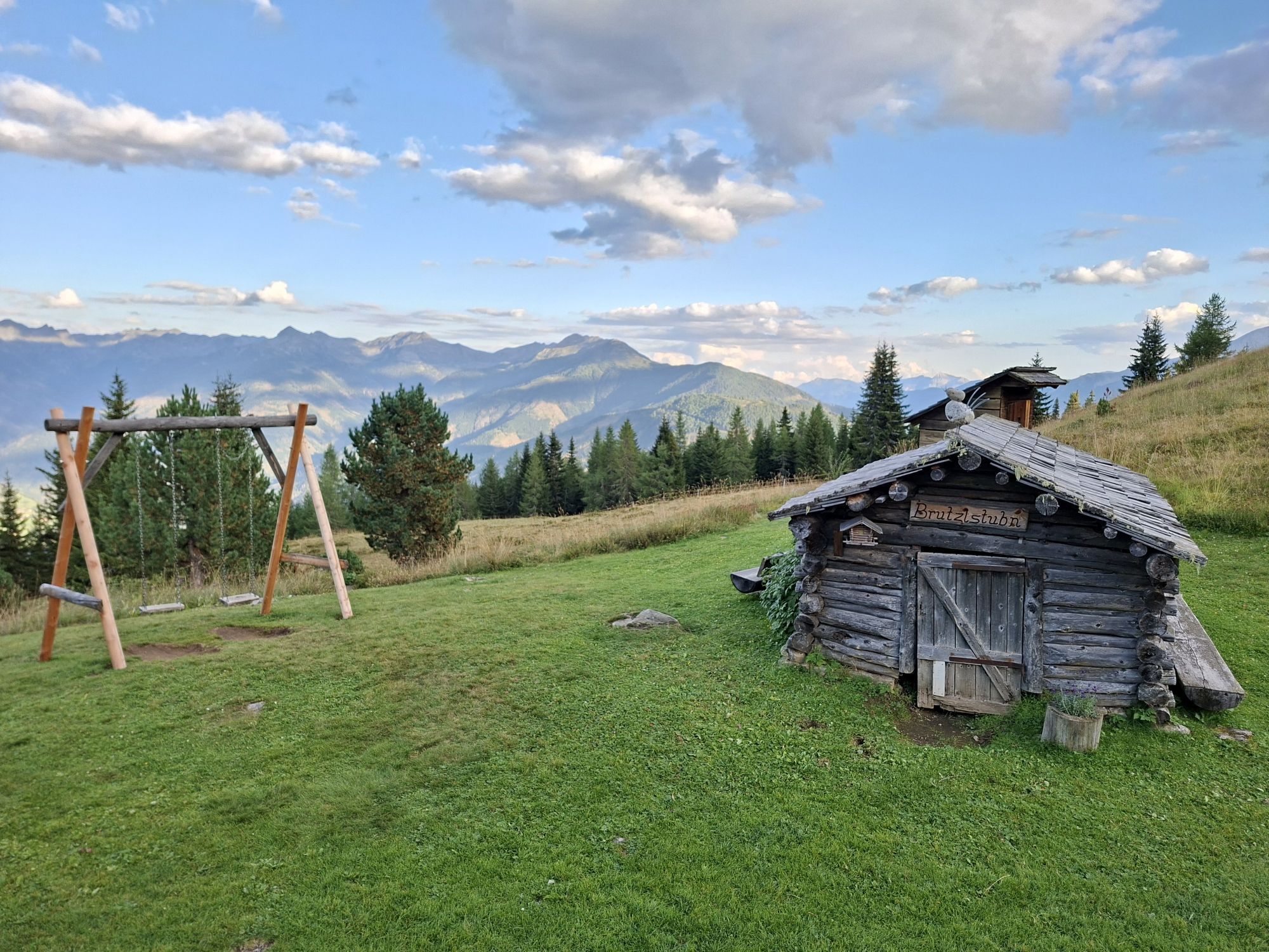
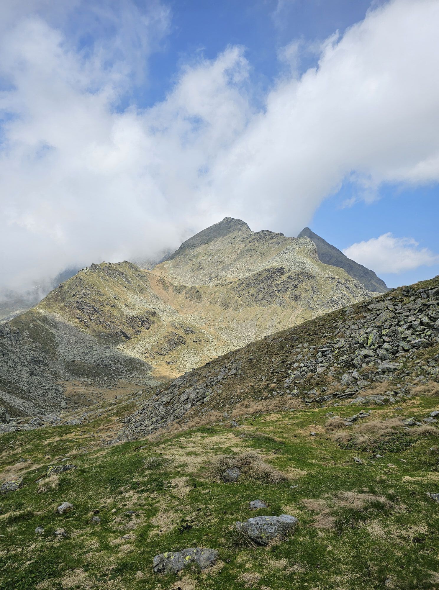
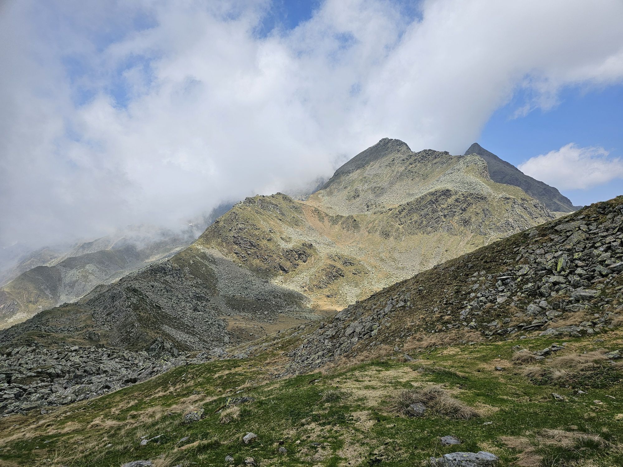
In the immediate vicinity of the massive three-thousanders of the Schober Group, Straßkopf with its gentle shapes may impress alpinists little. But even easy summit goals can unfold their charm: For the...
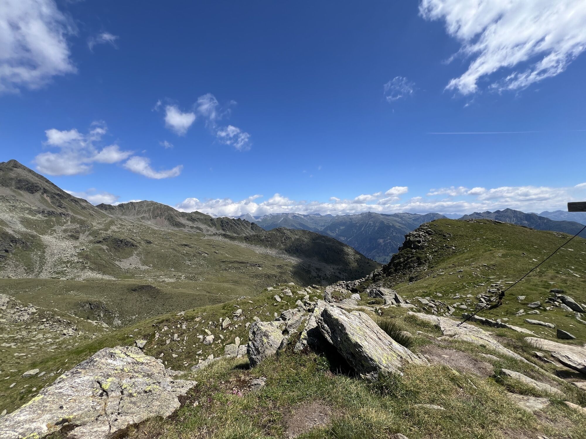
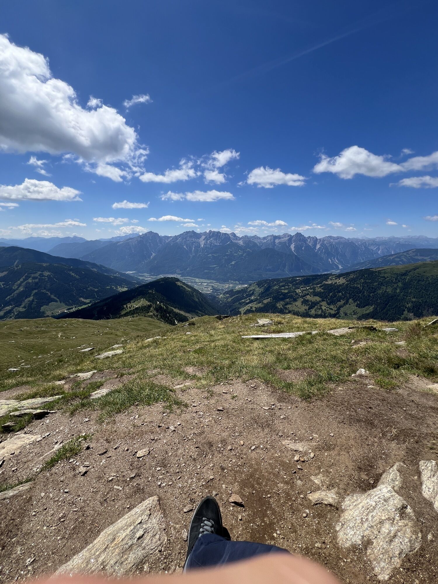
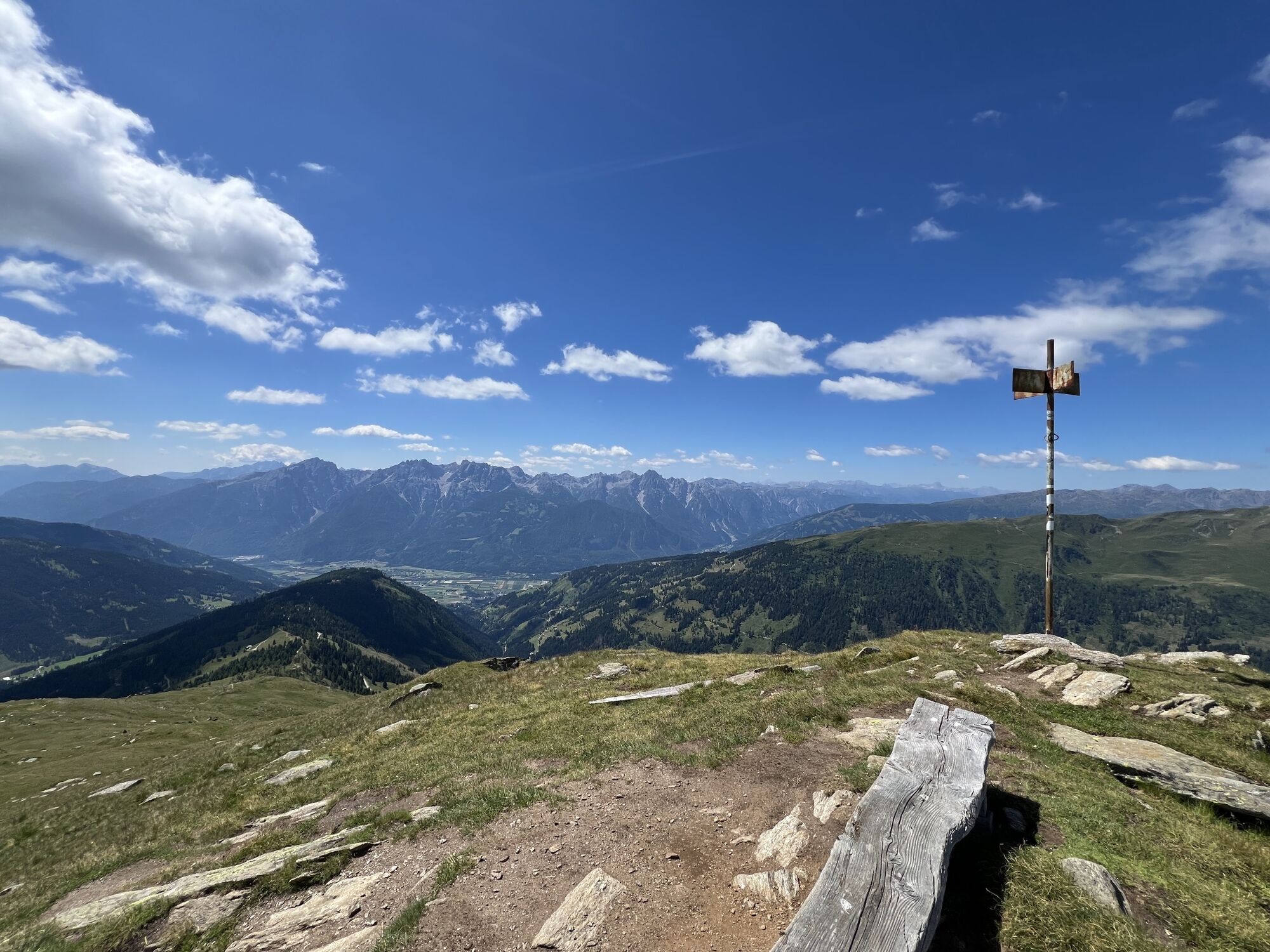
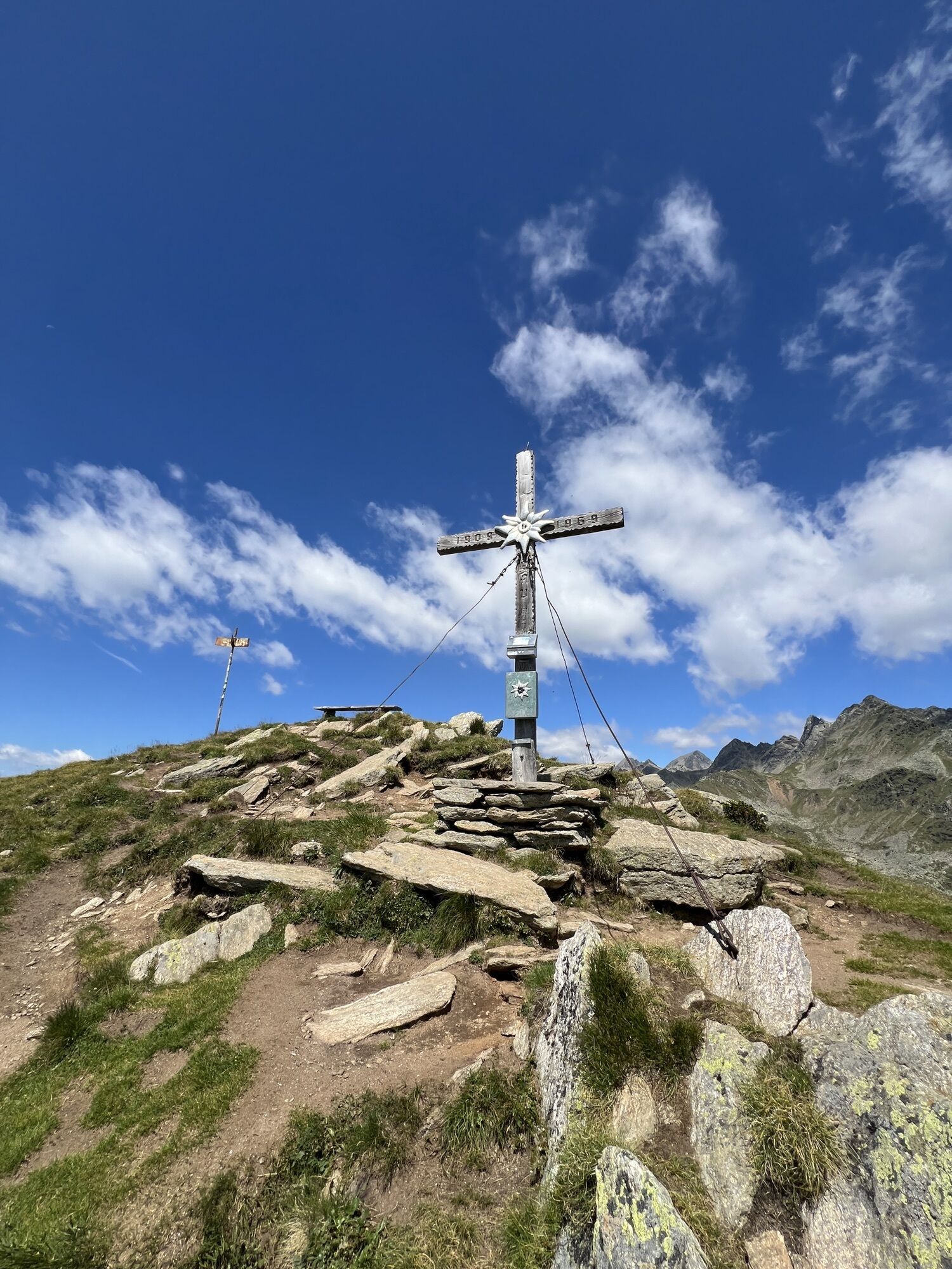
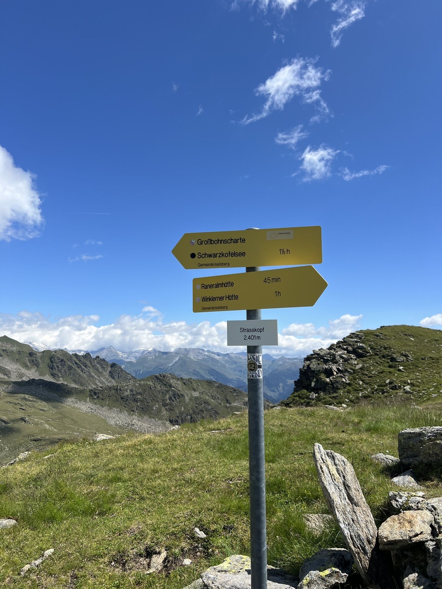
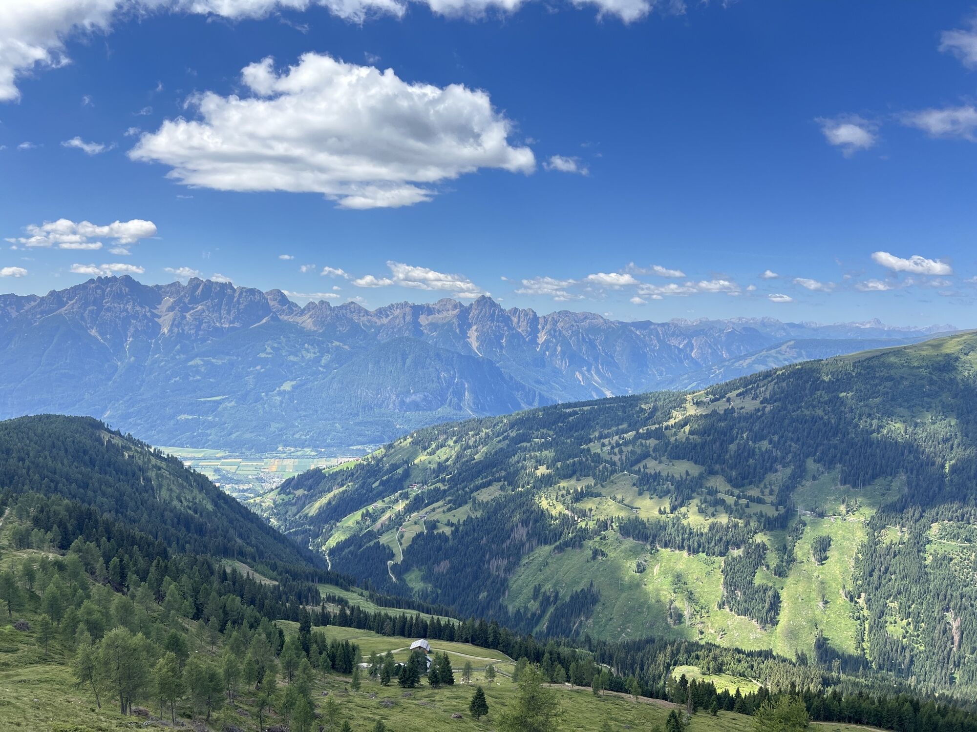
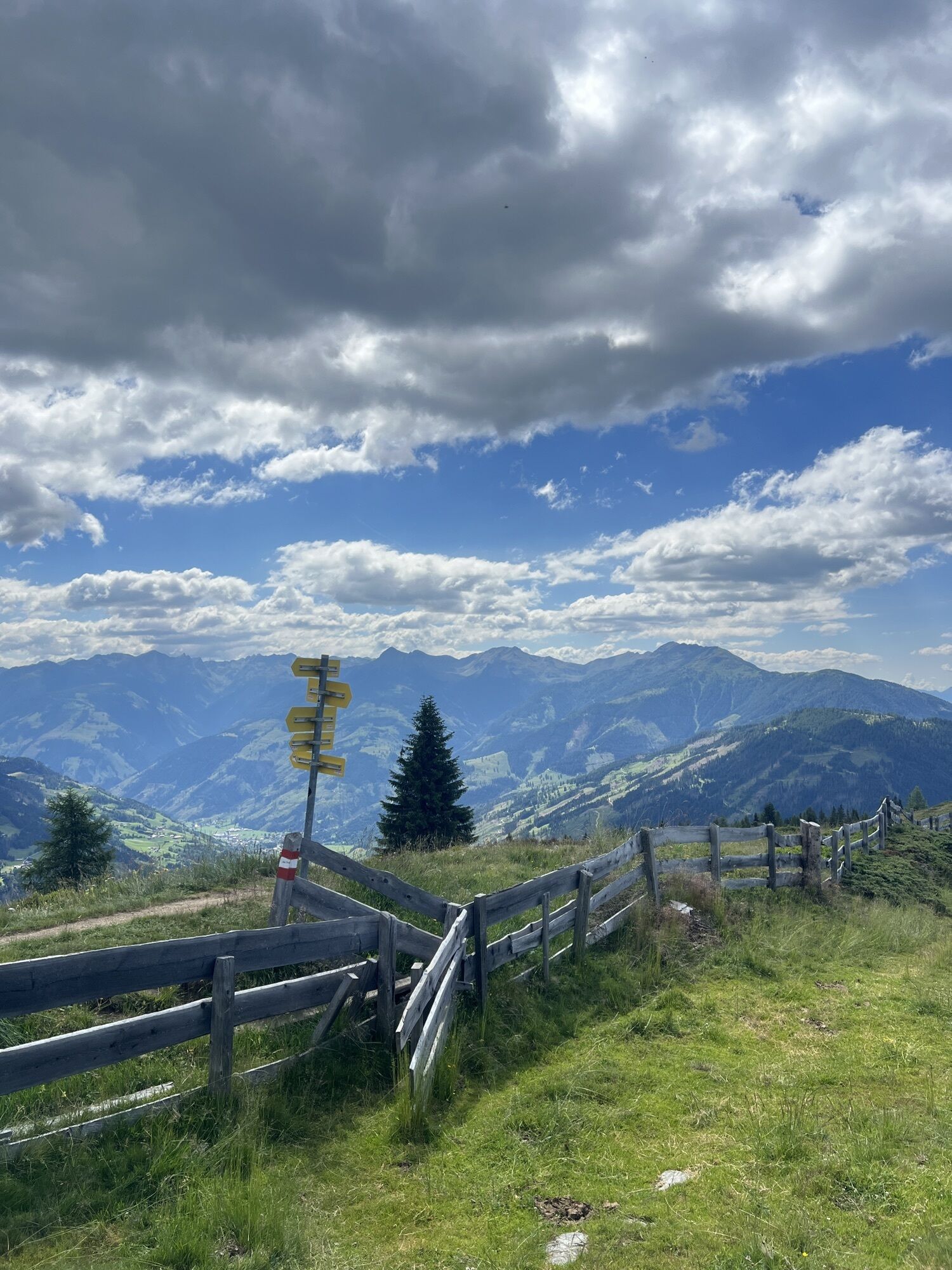
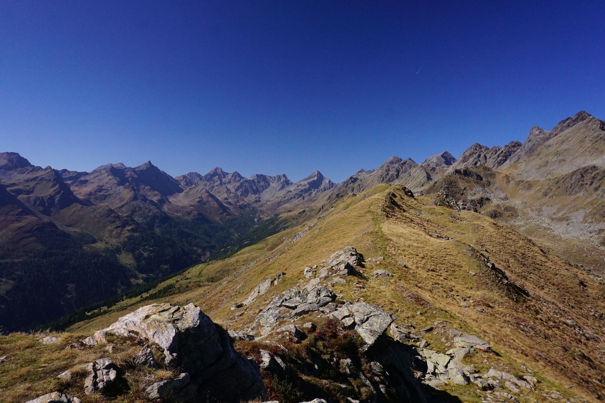
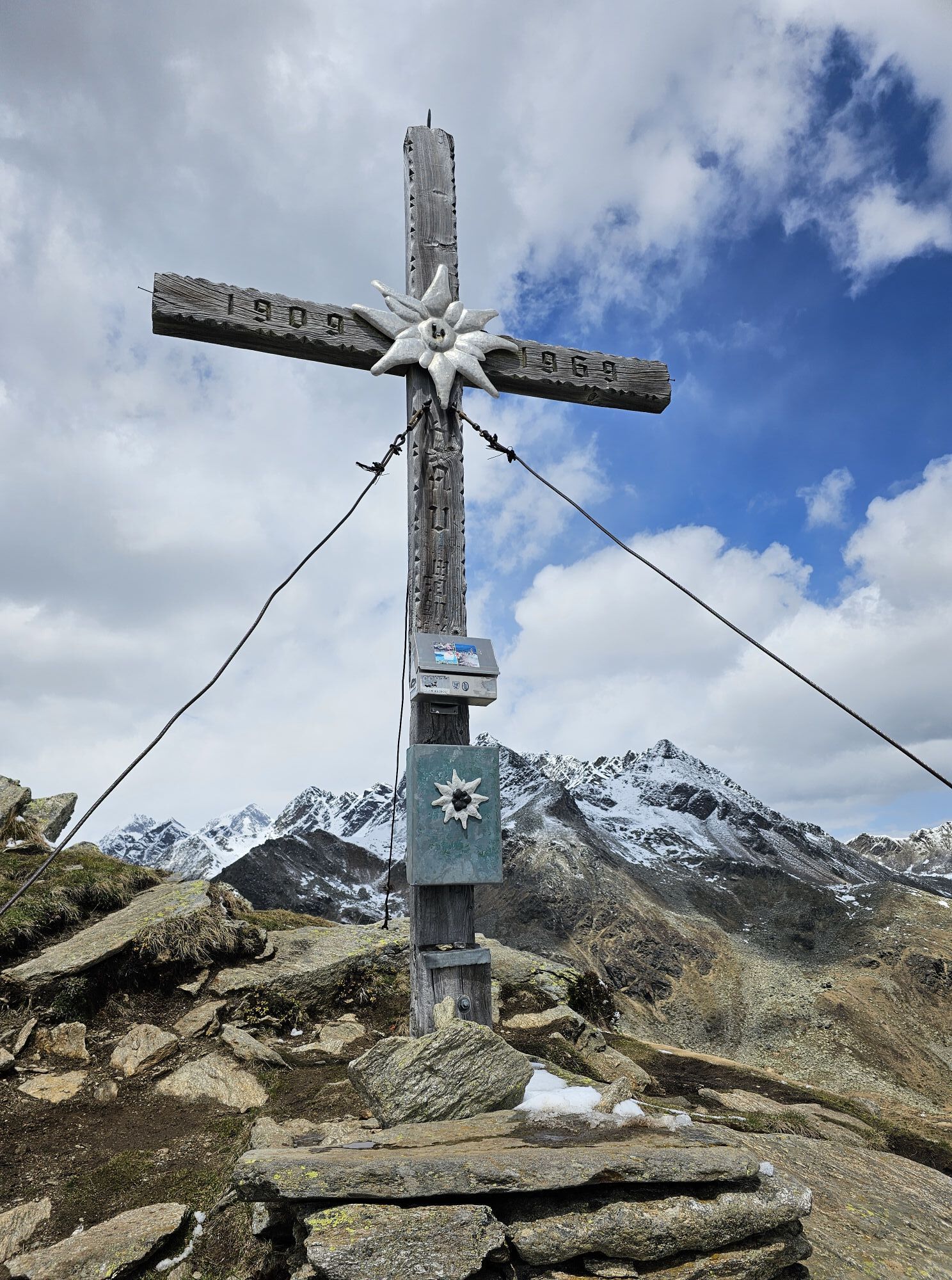
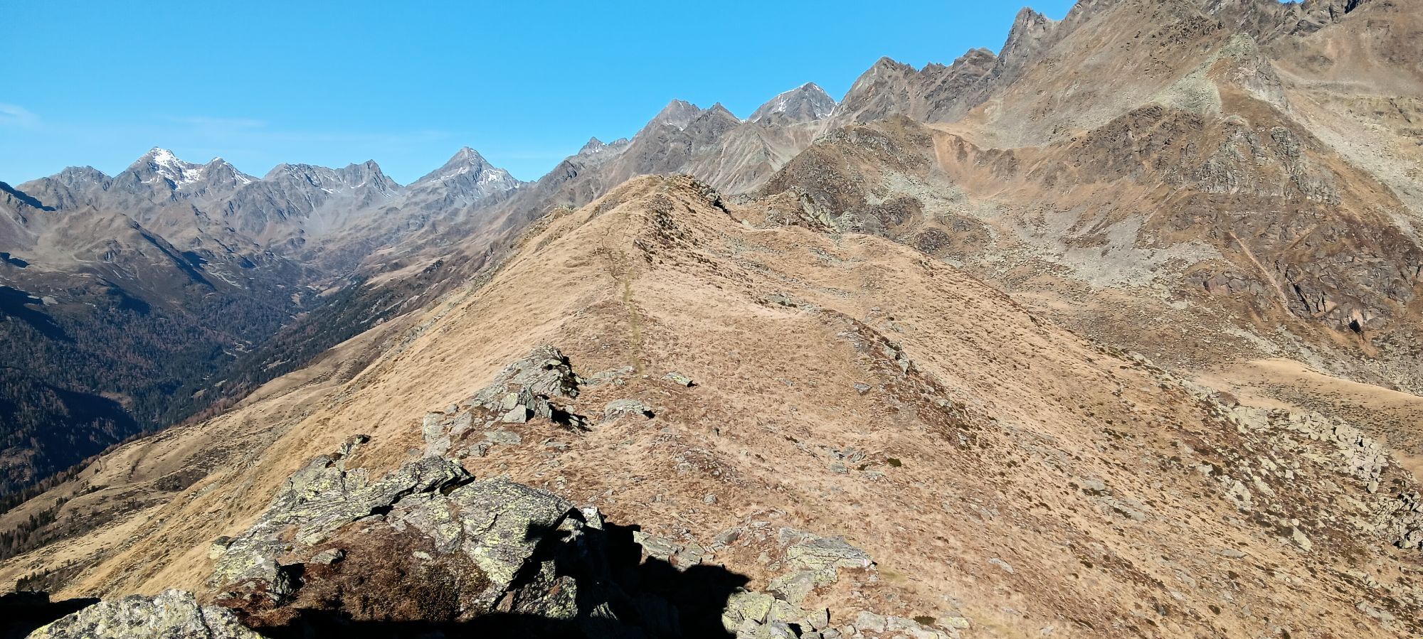
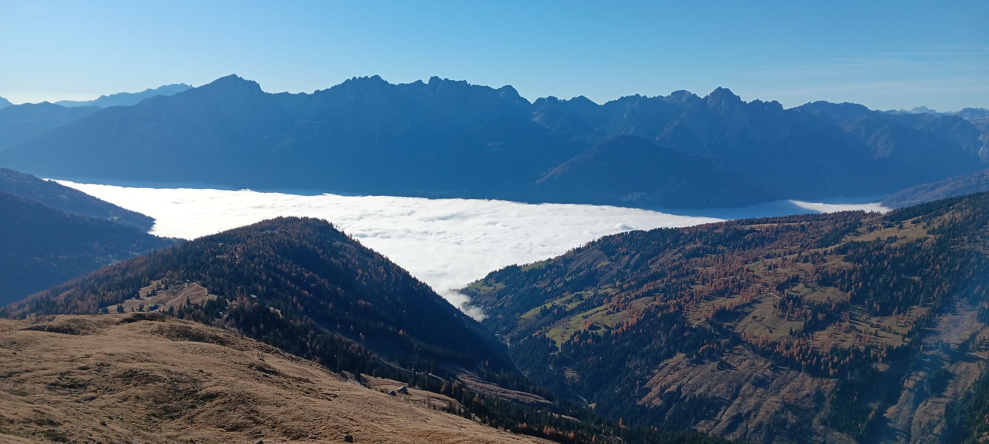
In the immediate vicinity of the massive three-thousanders of the Schober Group, Straßkopf with its gentle shapes may impress alpinists little. But even easy summit goals can unfold their charm: For the simple ascent, you are richly rewarded with a magnificent panorama – it extends over large parts of the Hohe Tauern to the nearby Lienz Dolomites and even to their famous namesakes in South Tyrol.
The ascent of Straßkopf can be extended into a circular route via the picturesque Scharzkofelsee.
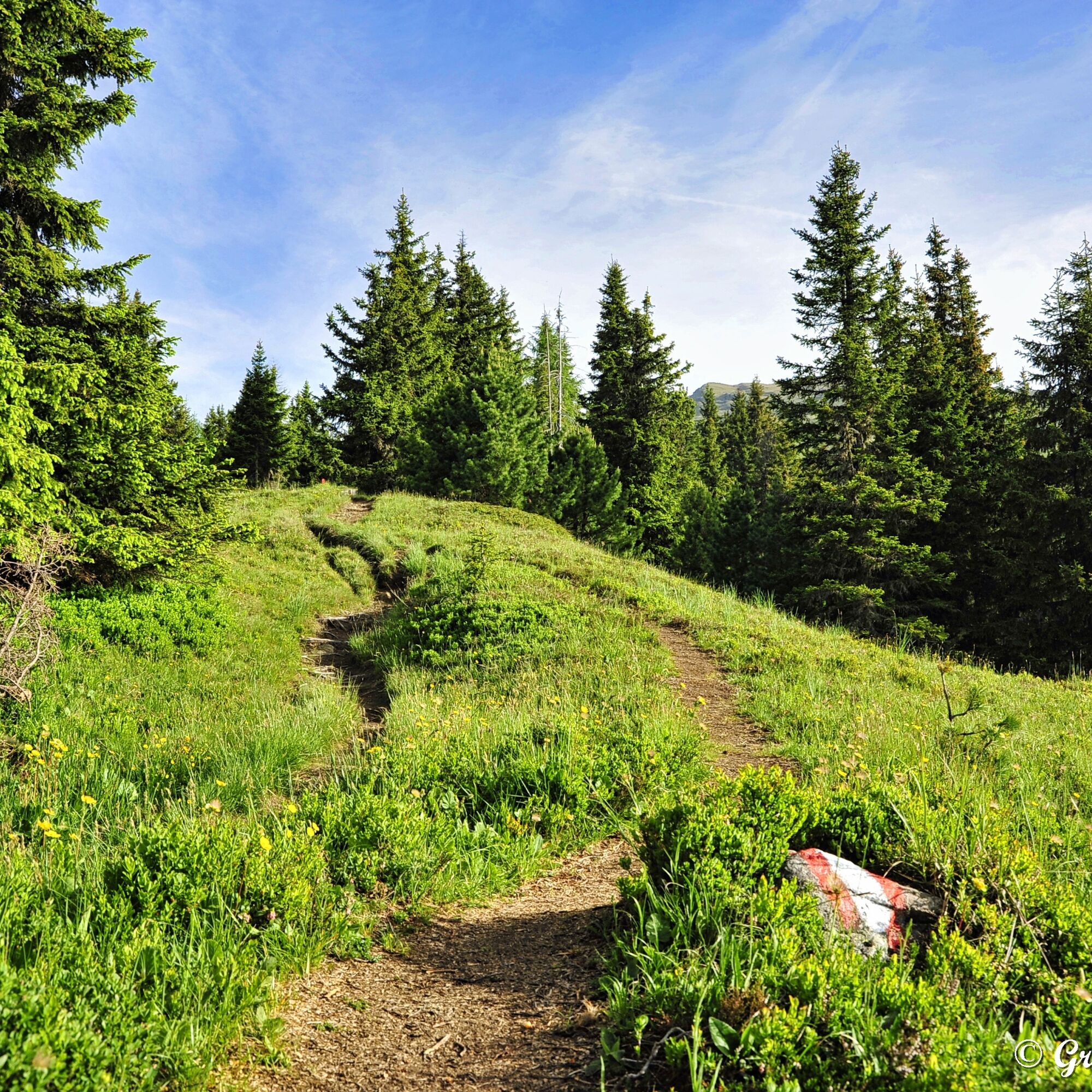
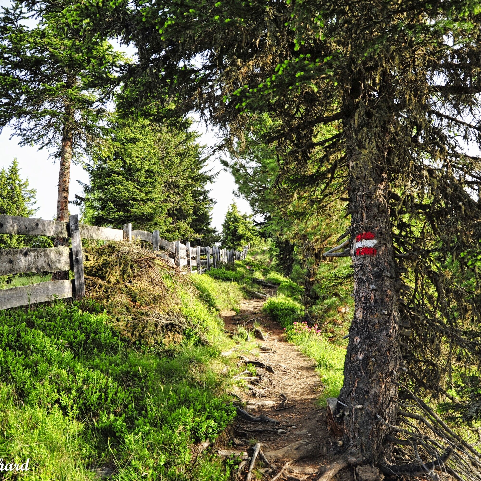
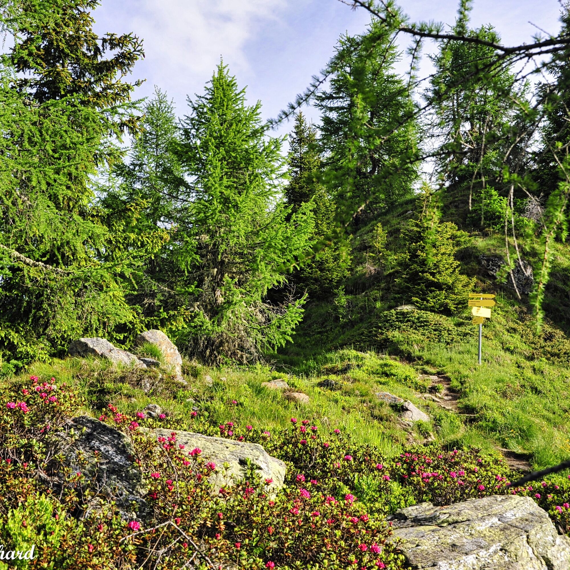
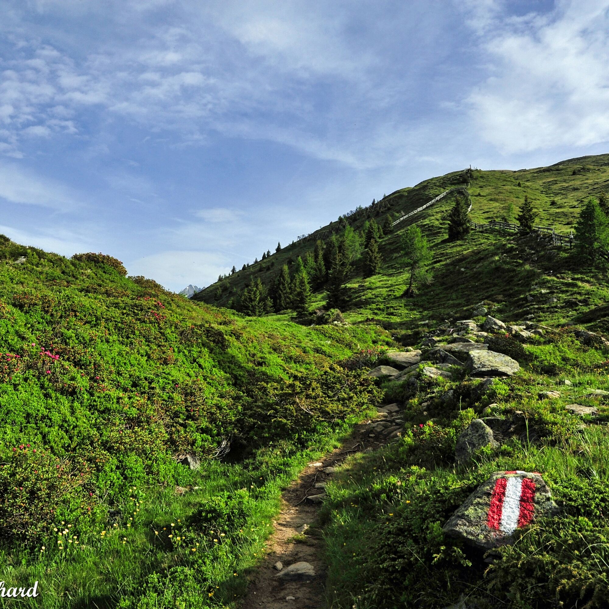

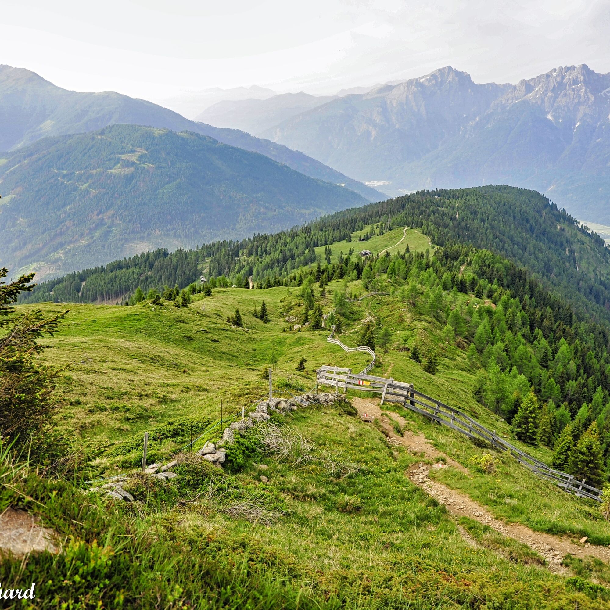
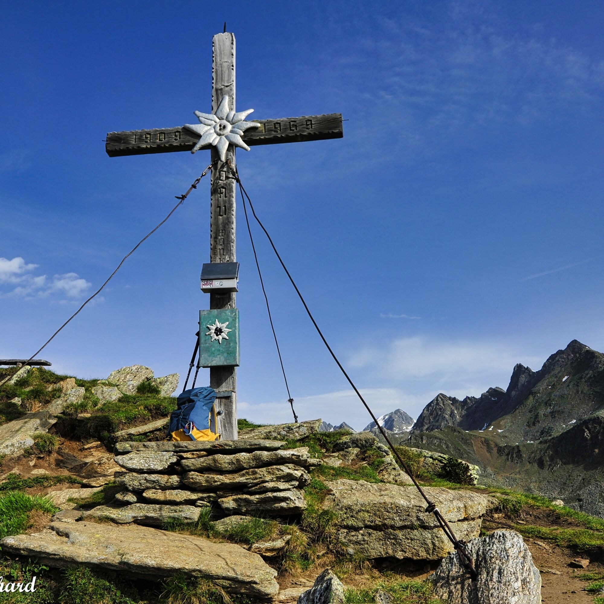
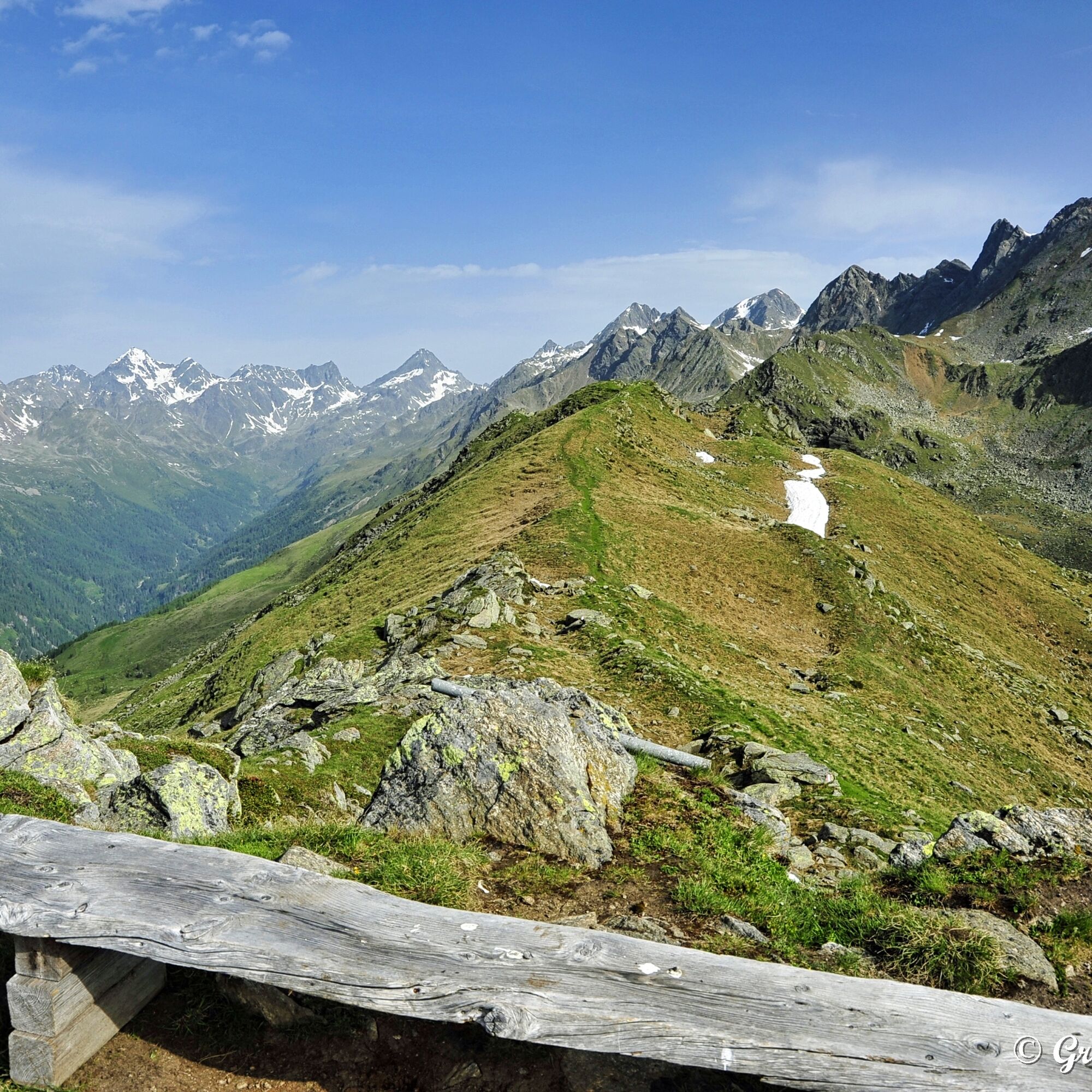
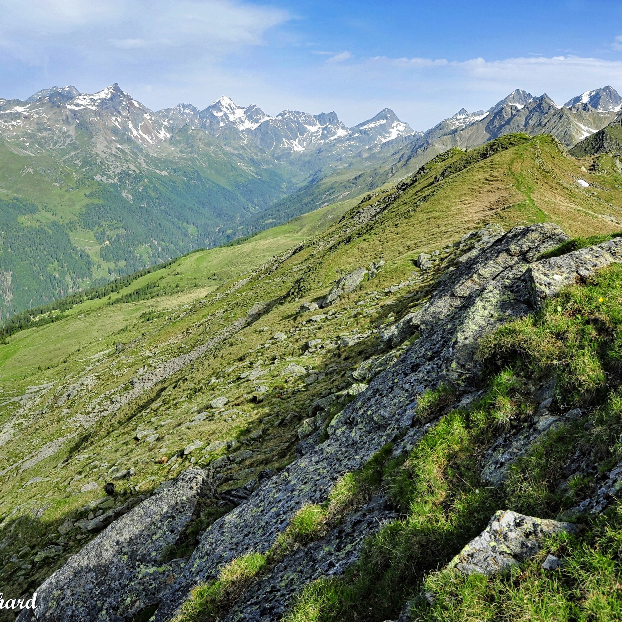
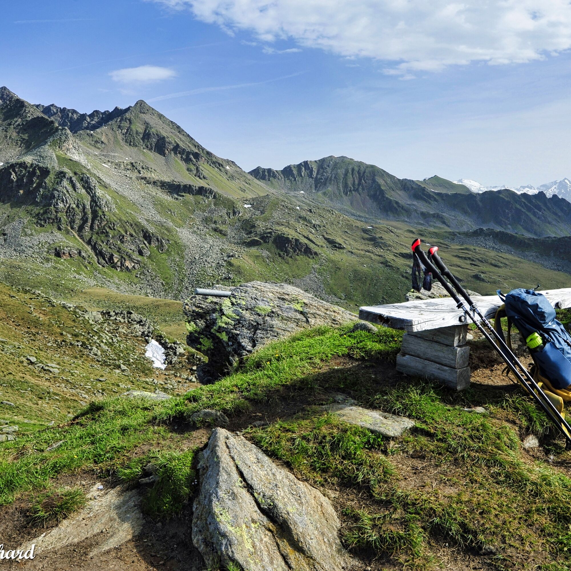
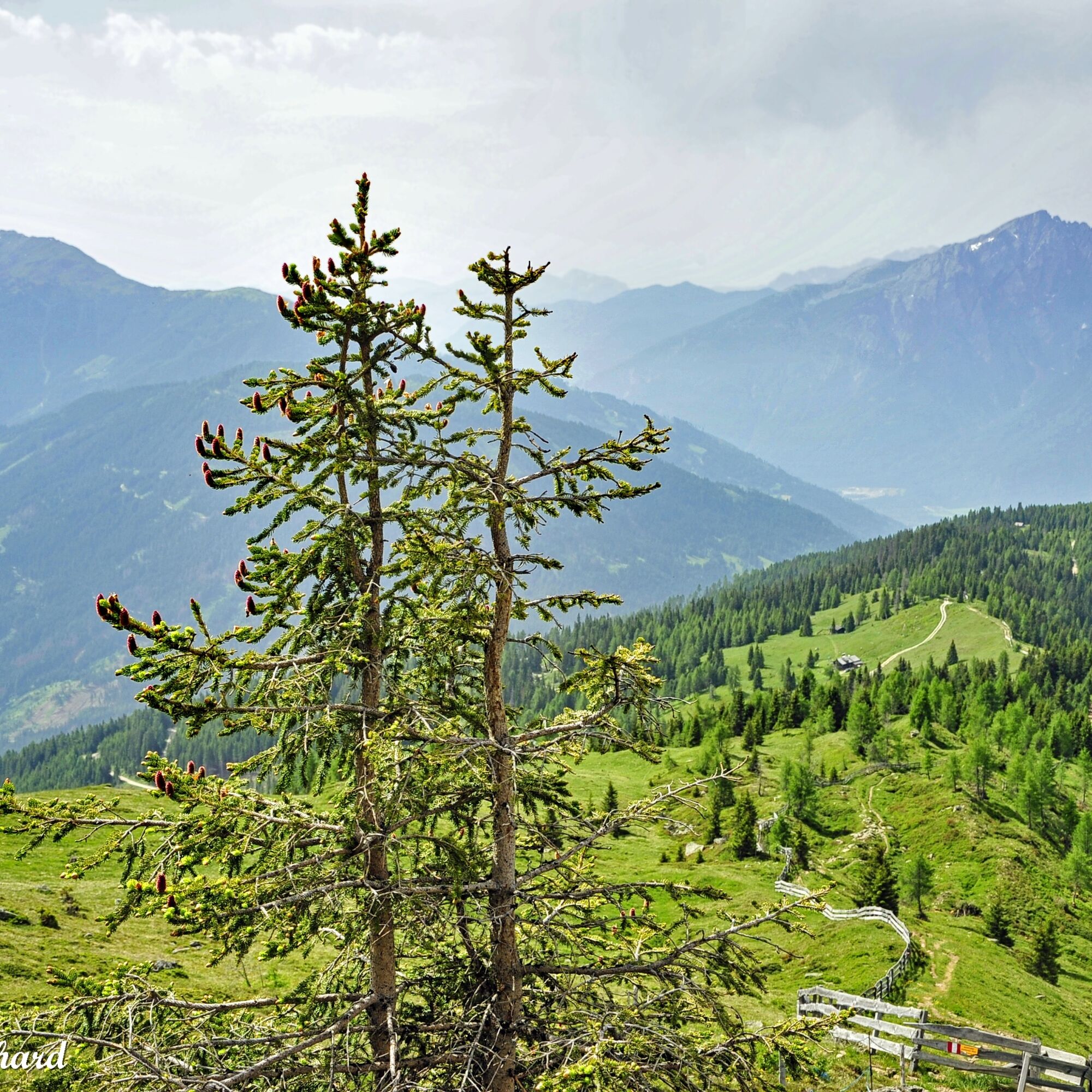
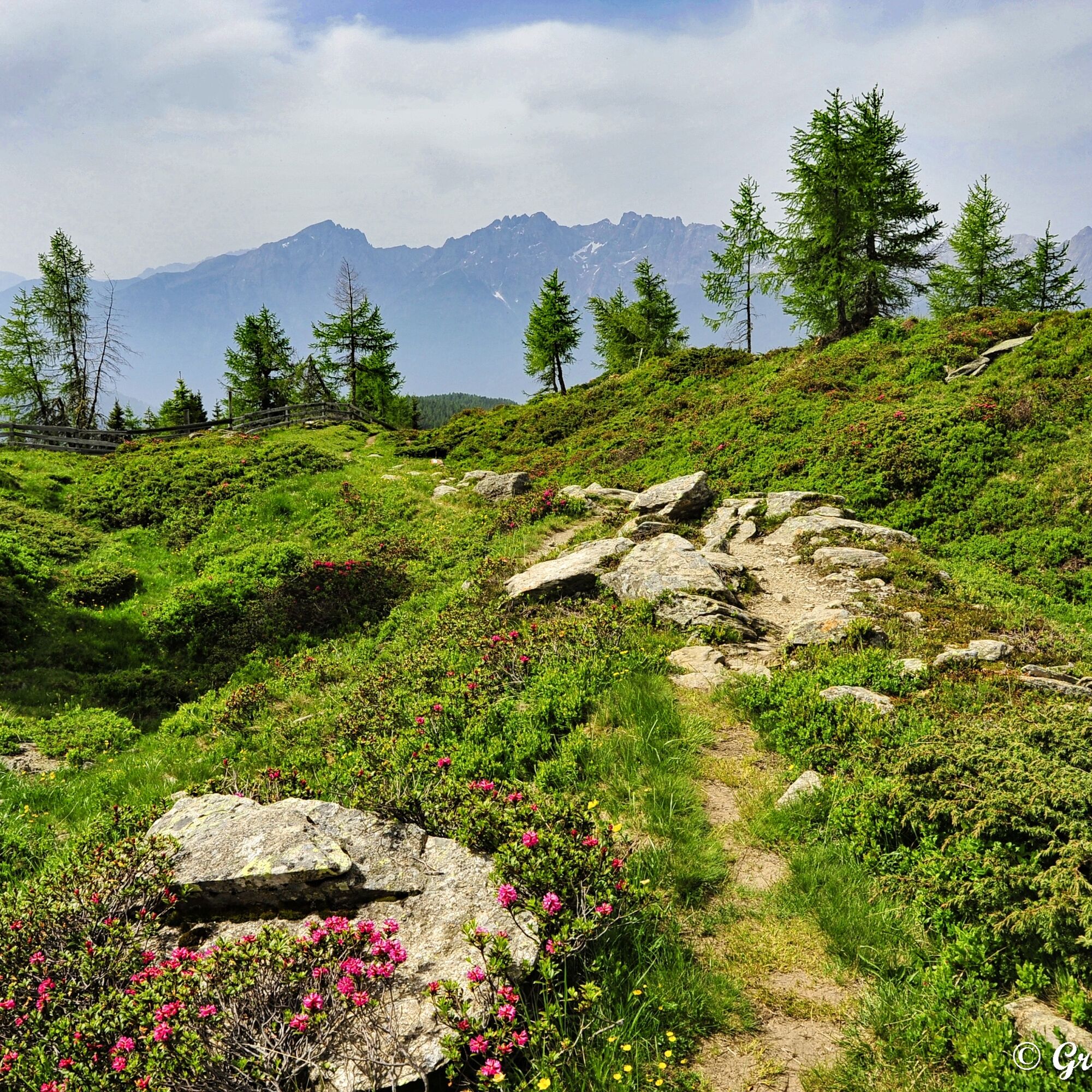
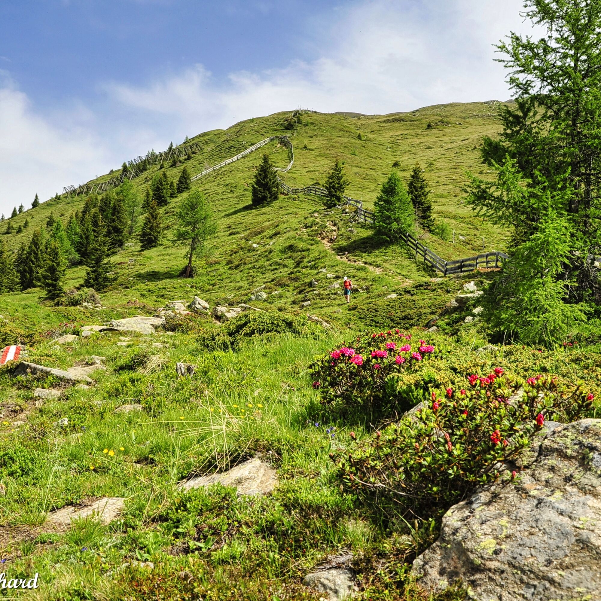
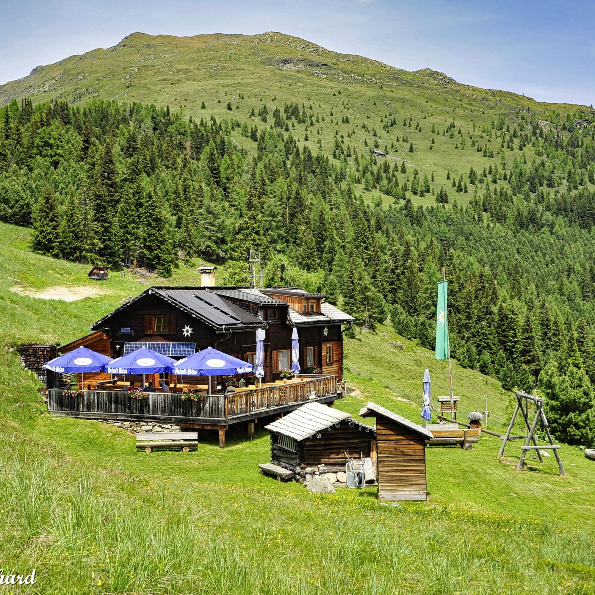

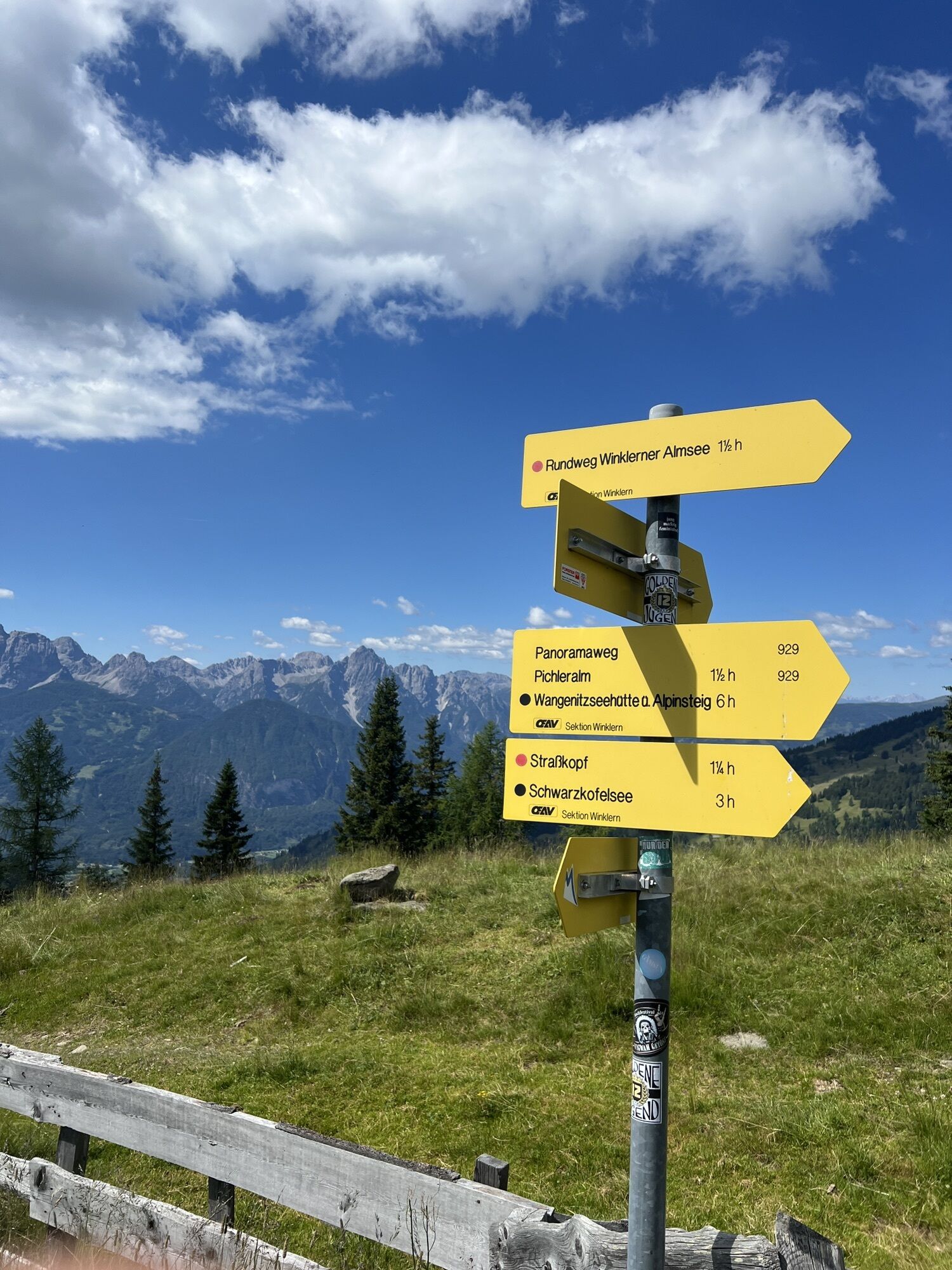
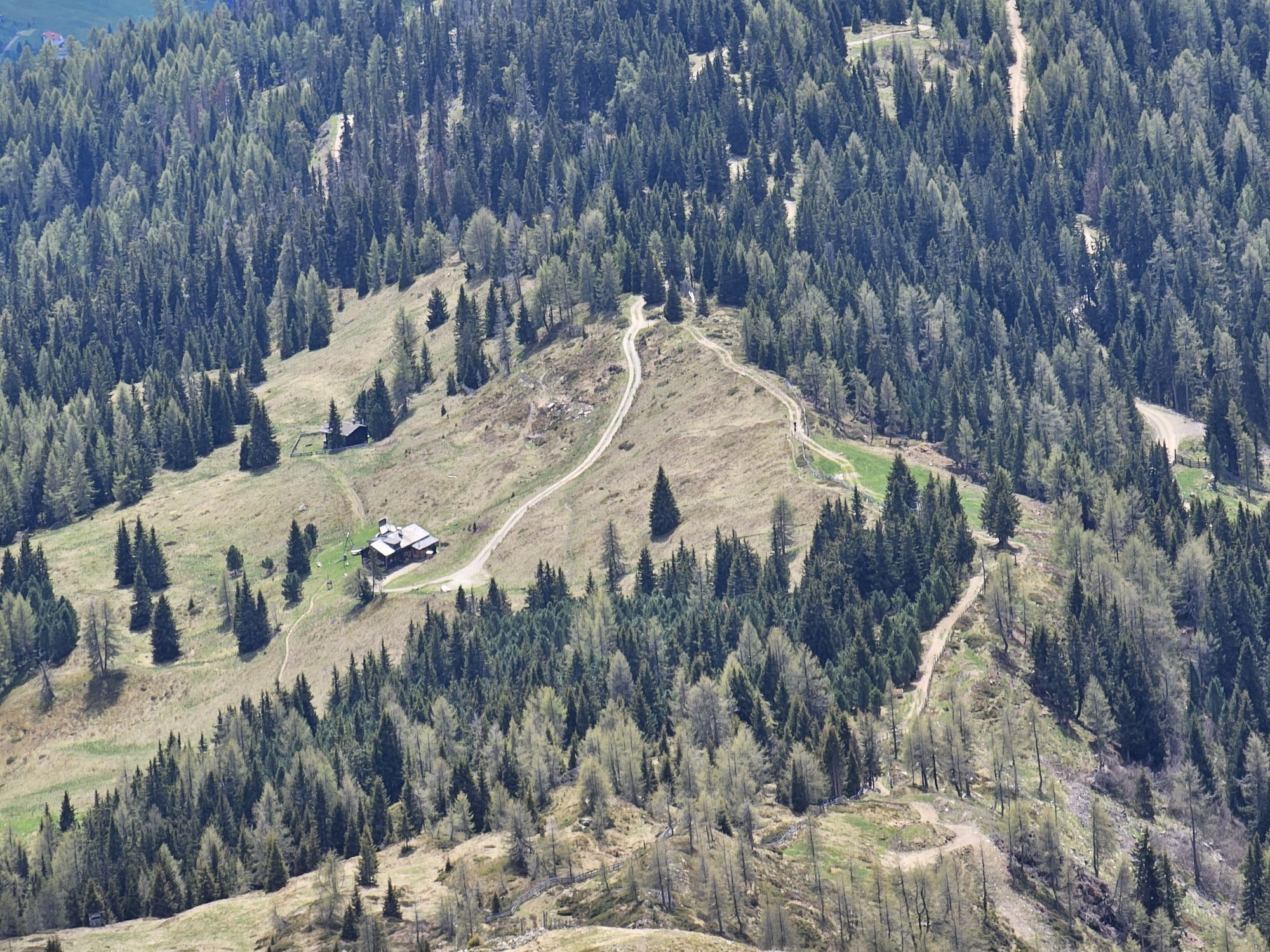
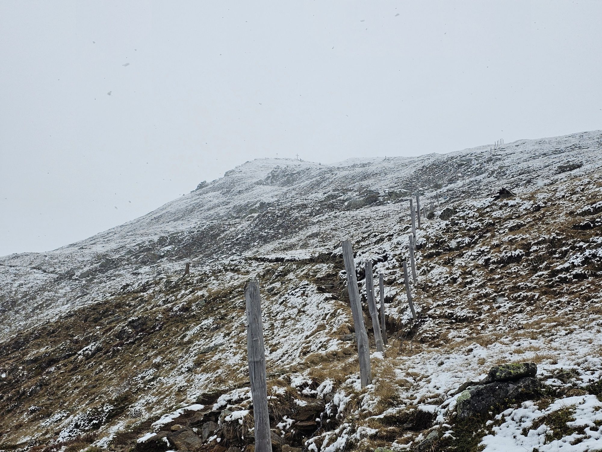
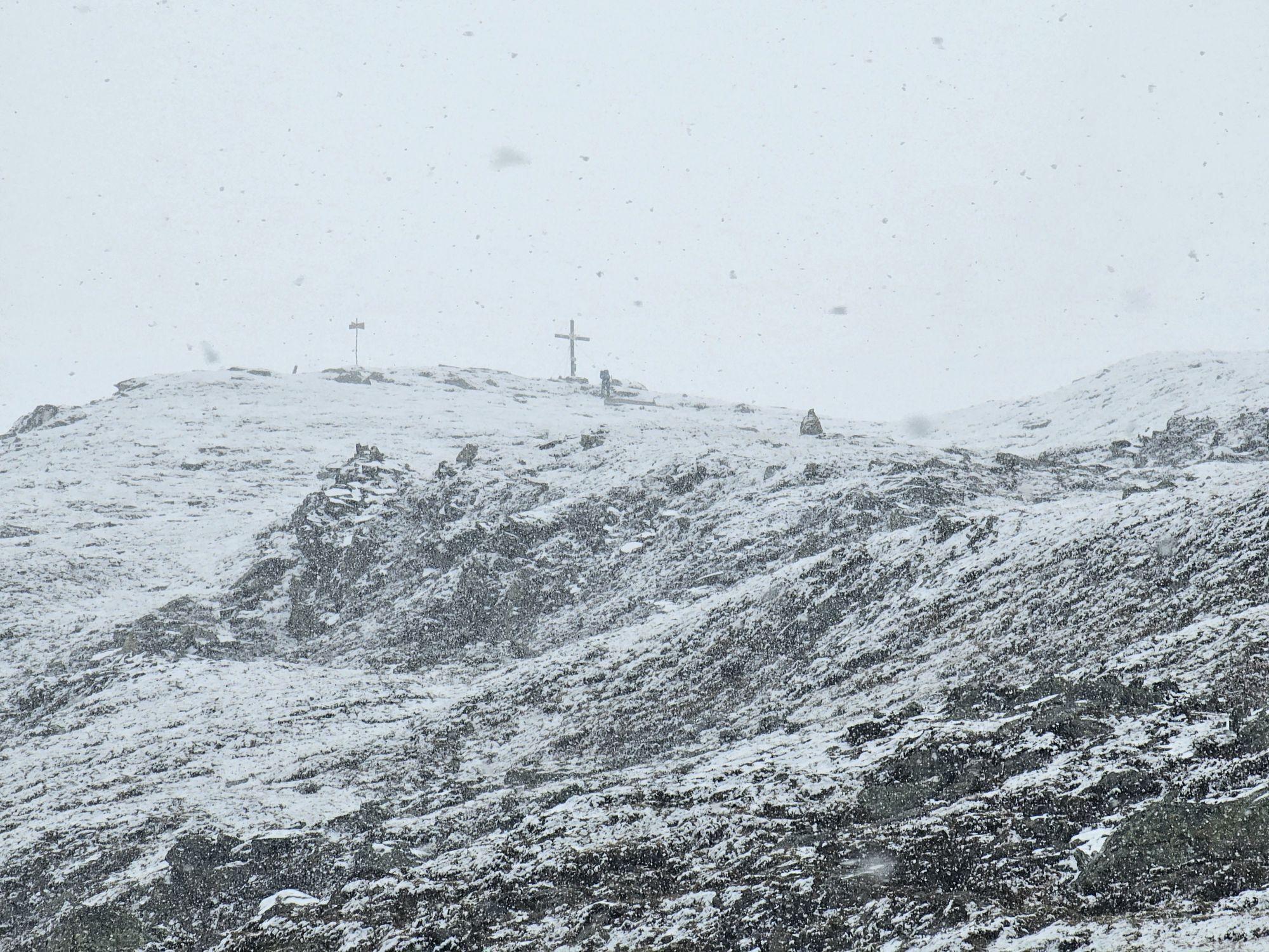
From the junction at Iselsberg towards the guesthouse "Schöne Aussicht" about 2 km on asphalt. Then about 6 km gravel road to the Winklerner hut parking. Via a marked trail directly to the always well-visible summit Straßkopf. The descent follows the same way back. Here you can also make a detour to the picturesque "Winklerner Almsee".
Da
Sturdy, stable footwear, weatherproof clothing, daypack with water bottle
From Winklern in the Mölltal via the Iselsberg. After 1.3 km, turn right, about 2 km on asphalt up towards the guesthouse "Schöne Aussicht". From here, a toll alpine road. Follow the signs for about 6 km to the parking lot "Winklerner Alm".
National Park Parking Lot Winklerner Alm
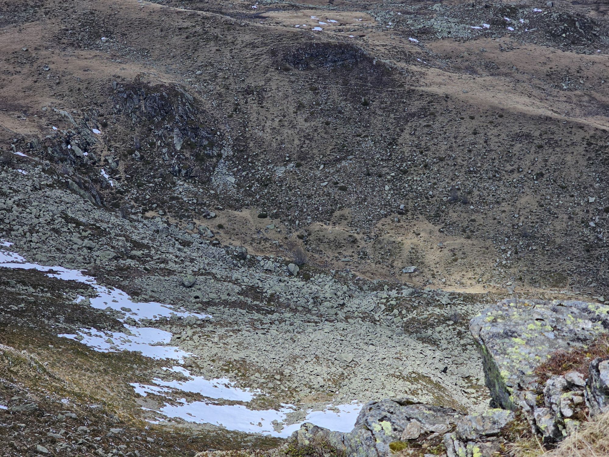
For those who find this route too short, the worthwhile detour to the idyllic Winklerner Almsee is recommended.

 Pridobite vpogled
Vedno v živo na mestu z več kot 9.500 spletnimi kamerami. bergfex Kot uporabnik Pro si lahko zdaj ogledate ustrezne spletne kamere za številne izlete v aplikaciji izleti iz. Tako si lahko neposredno ogledate trenutne razmere.
Pridobite vpogled
Vedno v živo na mestu z več kot 9.500 spletnimi kamerami. bergfex Kot uporabnik Pro si lahko zdaj ogledate ustrezne spletne kamere za številne izlete v aplikaciji izleti iz. Tako si lahko neposredno ogledate trenutne razmere.


Priljubljeni izleti v okolici
-
4.9
Wangennitzsee Hütte
srednjaPohodništvo 3.80 km -
5.0
Ederplan round from the parking lot Stronach
srednjaPohodništvo 7.19 km -
4.7
Karlsbader Hütte über Rudl-Eller-Weg
težkoPohodništvo 5.10 km -
4.9
Lienzer Dolomiten-Lasertörl
srednjaPohodništvo 13.2 km -
4.8
Glödis 3206m: PP Seichenbrunn, Lienzer Hütte, Glödis KS A/B
težkoVisokogorska tura 16.1 km -
4.7
Karlsbader Hütte
srednjaMountainbike 13.4 km -
4.3
Böses Weibele, 3119m, Lucknerhaus
težkoPohodništvo 13.8 km -
4.2
Gradental to Adolf Nossberger Hut - circular route
srednjaPohodništvo 11.1 km -
4.7
Lienzer Hütte
svetlobaPohodništvo 7.39 km -
4.0
Karlsbader Hütte - Lienzer Dolomiten
Pohodništvo 8 km
Pohodništvo in sledenje


Ne zamudite ponudb in navdiha za naslednje počitnice
Vaš e-poštni naslov je bil dodan na poštni seznam.





