


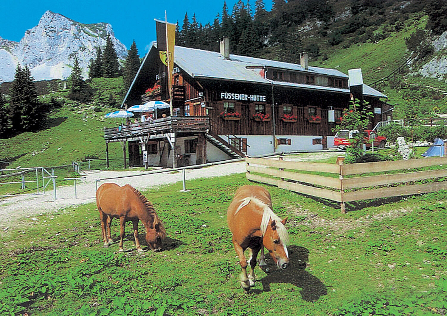
Füssener Hut - Otto Mayr Hut


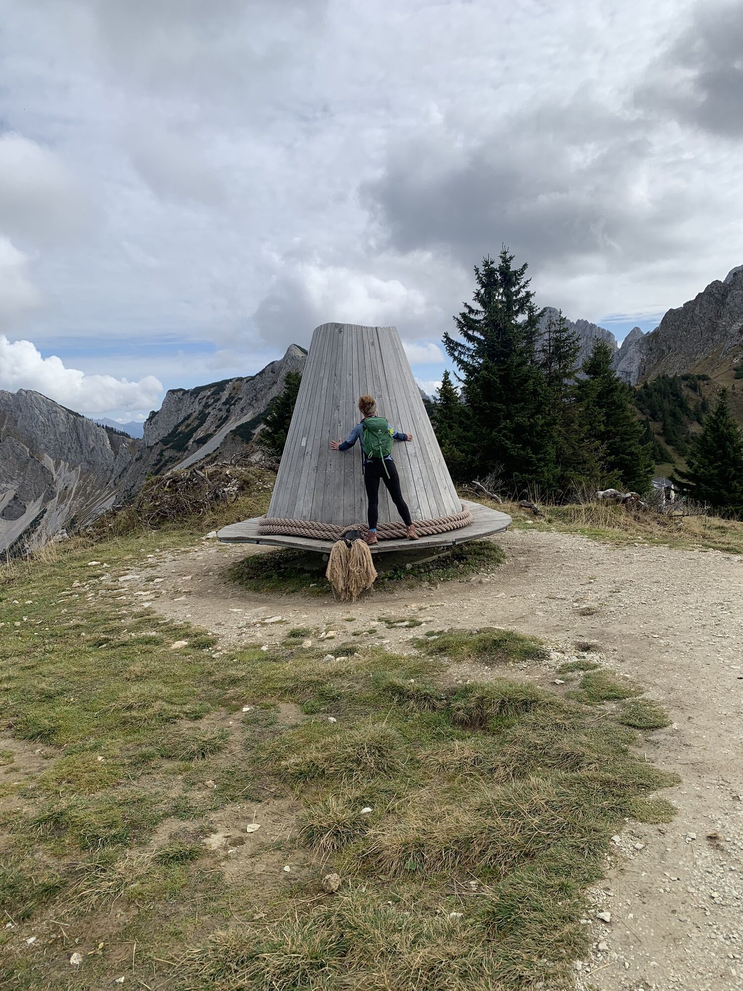
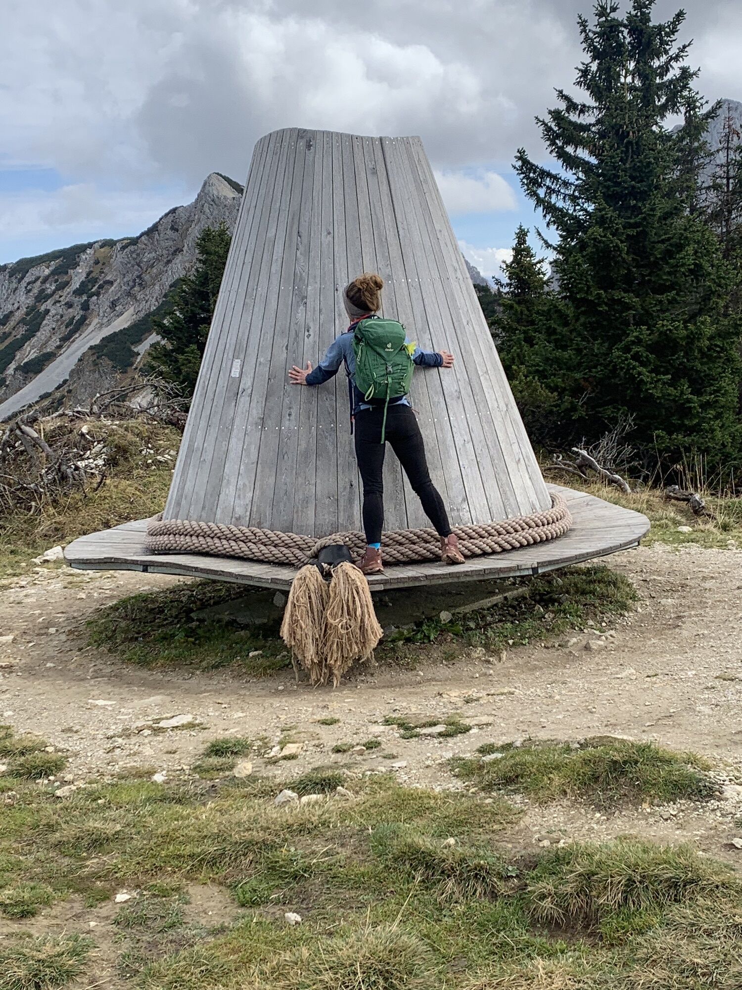
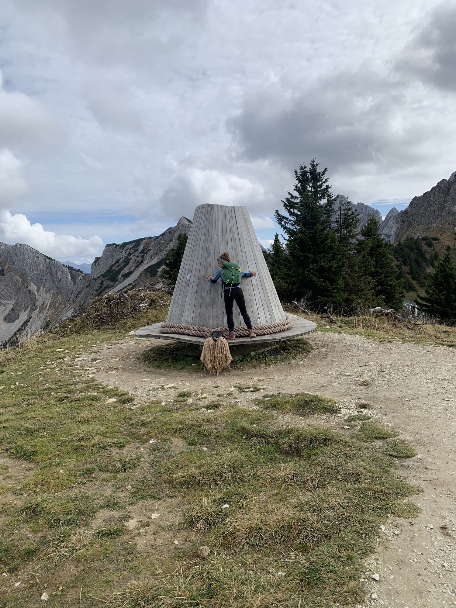
Fotografije naših uporabnikov
The hike to the Füssener Hut or Otto Mayr Hut with descent via the Gessenwangalm (not managed) follows easy mountain paths.

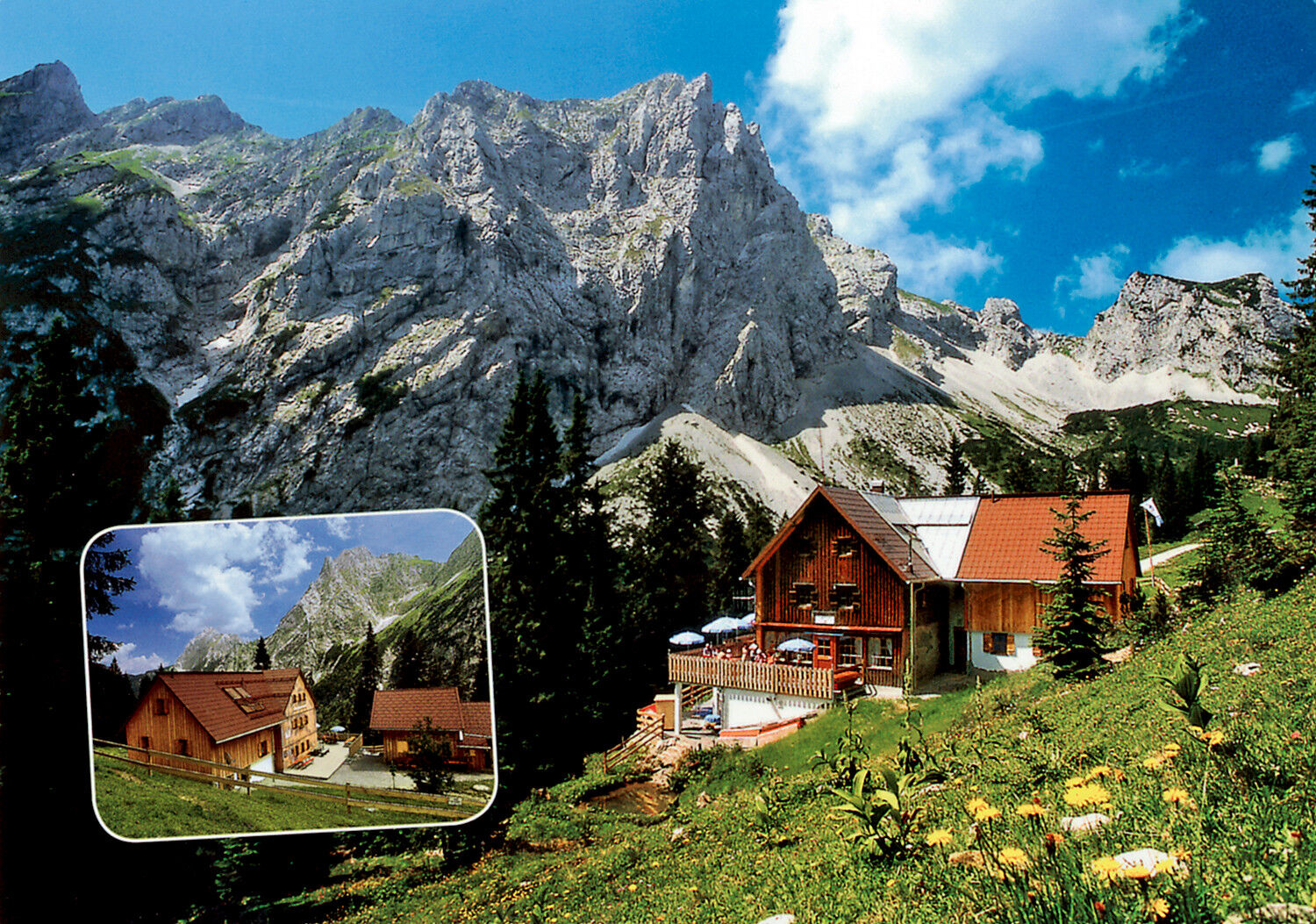
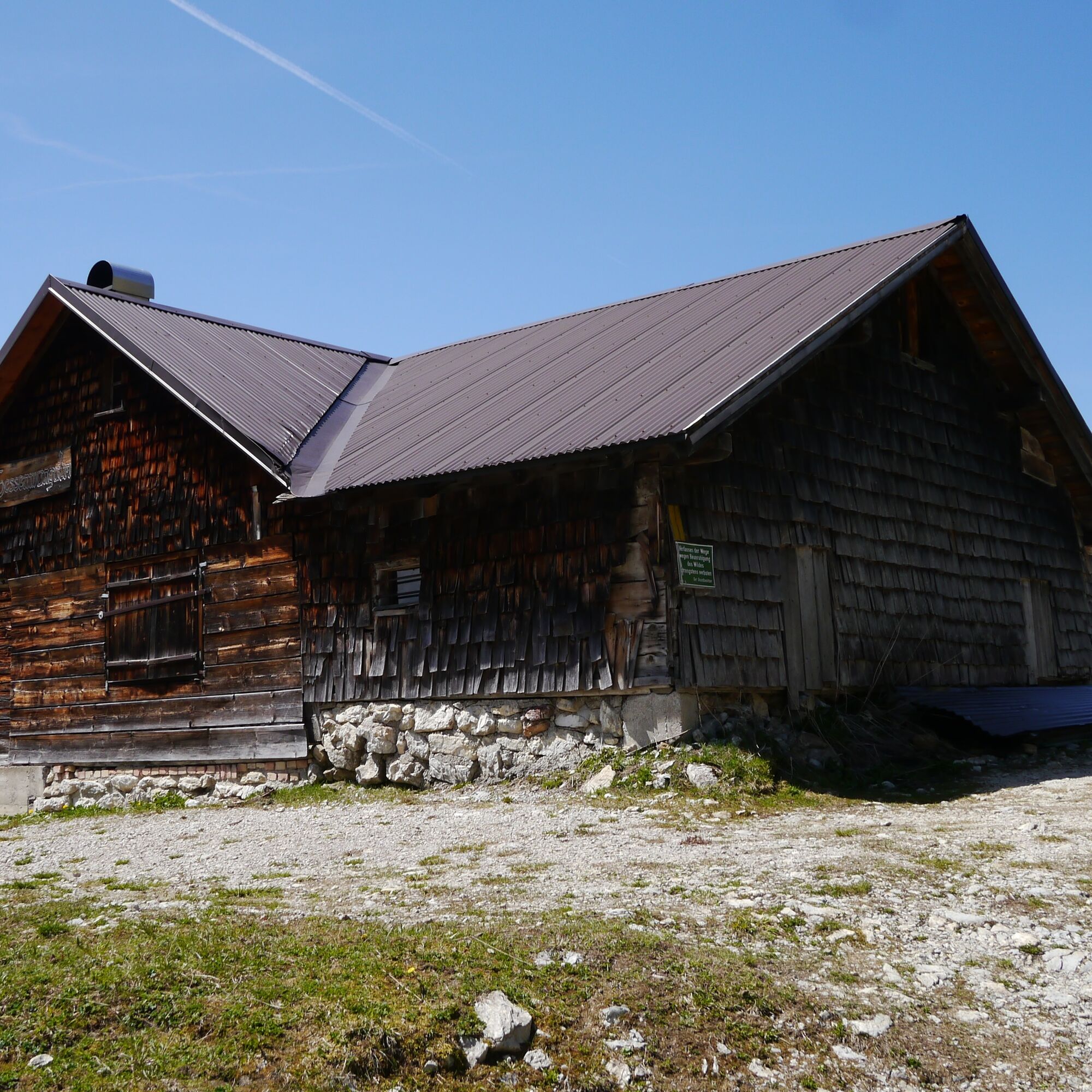
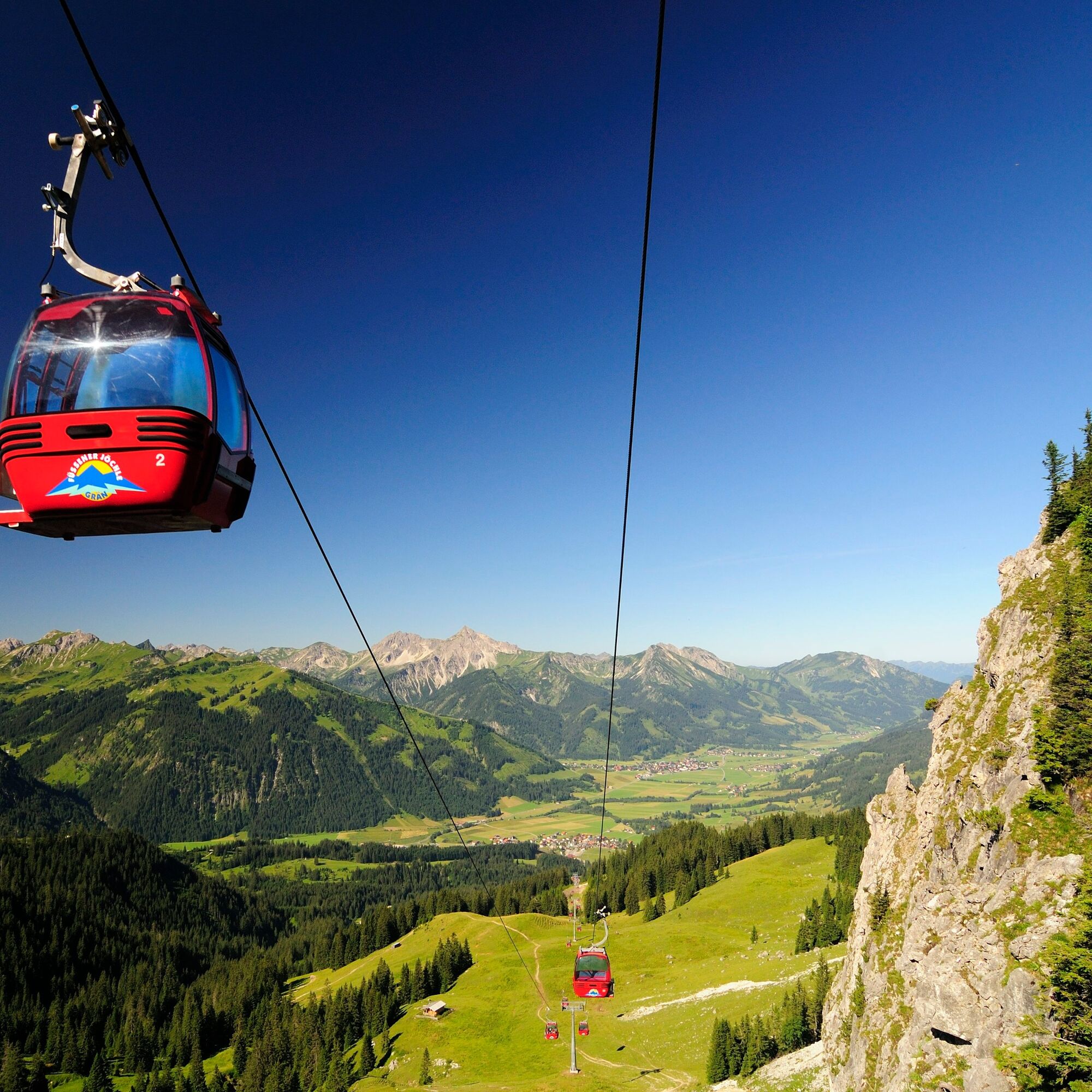
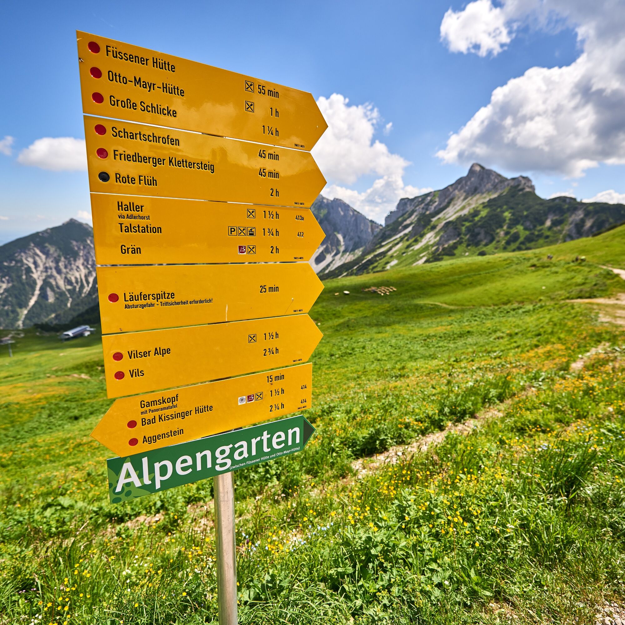
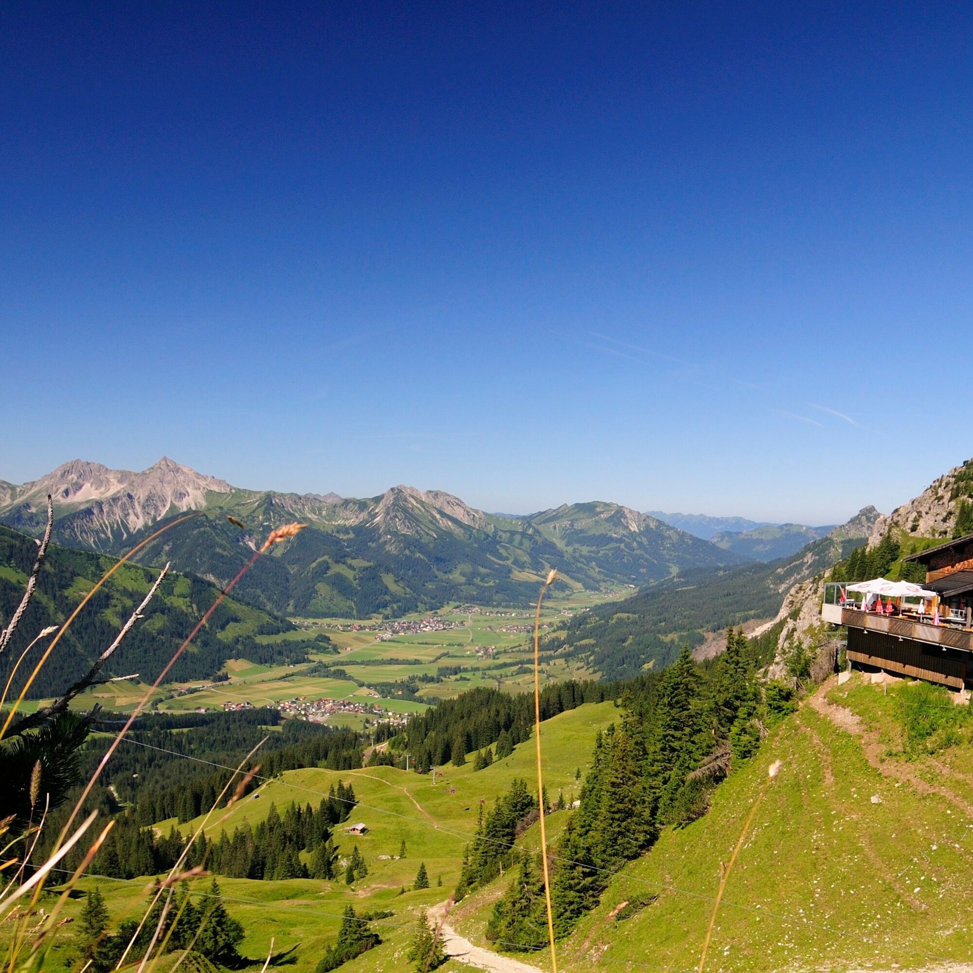
From Grän, take the 8-person gondola lift to the Füssener Jöchle. The starting point of the hike is the mountain station/Sonnenalm, from there it continues to the Raintaler Joch. The descent goes down slopes to the Füssener Hut and/or Otto Mayr Hut. Here you will find a rich variety of wildlife and alpine flora, ideal places to relax. From the Otto Mayr Hut, retrace a short section of the same route, then head west to begin the ascent to the Hallergehrenjoch, from where the descent leads past the Gessenwangalm (not managed). The last stretch follows the forest road back to Grän to the valley station/parking lot of the 8-person gondola lift.
Da
Da
Da
Your personal mountaineering equipment must be safe, functional, and meet the appropriate technical standards. Every hiker is recommended to inform themselves about the planned routes through alpine literature or on-site guidance.
It should be noted that mountaineering can involve an increased risk of accidents and injuries. Despite careful route planning, a basic risk always remains. Preparing for the tour through endurance sports, appropriate technical training, further education, and personal caution reduces the risk of accidents and dangers. But please never forget that the weather in the mountains can change very quickly. Stay on marked hiking trails.
On the A7 motorway, take the "Oy-Mittelberg" exit onto B310 towards Wertach and then Oberjoch. There follow the signs "Tannheimer Tal" B199 until Grän. From the Tyrolean side via Reutte on B198 towards Lechtal to Weißenbach, over the Gaichtpass along B199 to Grän.
By train to Sonthofen, Pfronten/Ried, or Reutte, then continue by bus to Grän. Bus stop Füssener Jöchle.
Grän, parking lot Sonnenbergbahn, paid.
There are dining and overnight accommodation options at both the Füssener Hut and the Otto Mayr Hut. From both huts, you will find an extensive network of trails with hiking, climbing, and summiting routes.
Spletne kamere s turneje
Tannheim
Neunerköpfle Mittelstation
Haldensee - Neunerköpfle
Breitenberg Bergstation
Grän - Almdorf Tirol
Neunerköpfle Mittelstation
Neunerköpfle Mittelstation
Neunerköpfle Mittelstation
Neunerköpfle Mittelstation
Neunerköpfle Mittelstation
Neunerköpfle Mittelstation
Neunerköpfle Mittelstation
Panoramarestaurant Hahnenkamm
Ostlerhütte
Grän - Hotel Bergblick
Füssener Jöchle Bergstation
Füssener Jöchle Bergstation
Füssener Jöchle Bergstation
Füssener Jöchle Bergstation
Füssener Jöchle Bergstation
Bergstation Neunerköpfle
Tannheimertal
Breitenbergbahn - Pfronten
Füssener Jöchle Bergstation
Füssener Jöchle Bergstation
Haller
Haller
Haller
Haller
Haller
Gundhütte - Tannheimertal
Priljubljeni izleti v okolici
- 4,2
Three-lake route (awarded the Tyrolean Hiking Trail Seal of Quality)
srednjaPohodništvo14,8 km - 4,2
Höllschlucht hike » Water & Forest
srednjaPohodništvo7,38 km - 4,6
3-Seen Rundtour Vilsalpsee / Schrecksee / Traualpsee
srednjaPohodništvo17,1 km - 4,5
Mountain hike to the Aggenstein
težkoPohodništvo15,3 km - 4,9
3-Gipfel-Tour
srednjaPohodništvo11,2 km - 4,8
Around Weißensee
svetlobaPohodništvo6,12 km - 5,0
Hiking tour to Breitenberg
težkoPohodništvo15,6 km - 4,8
Do koče Bad Kissinger Hütte po poti Gräner Höhenweg
srednjaPohodništvo13,0 km - 5,0
Gemeinde Grän, Tirol/Österreich Aggenstein Rundtour über Höhenweg
srednjaPohodništvo9,84 km - 4,7
Yellow Wall Trail, Tegelberg (A)
srednjaVia ferrata3,65 km
Pohodništvo in sledenje


Ne zamudite ponudb in navdiha za naslednje počitnice
Vaš e-poštni naslov je bil dodan na poštni seznam.