







Gessenwangalm - Füssener Jöchle - Sonnenalm
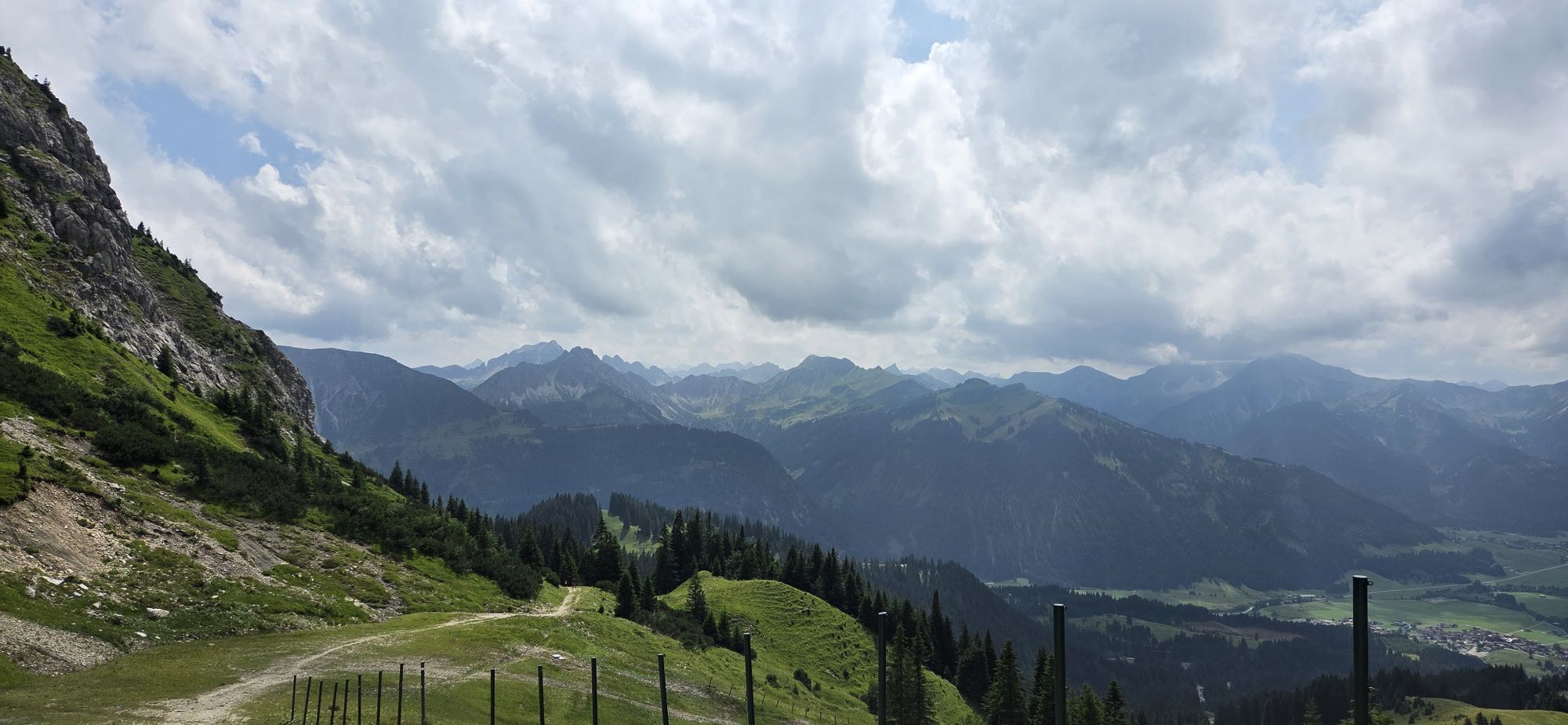
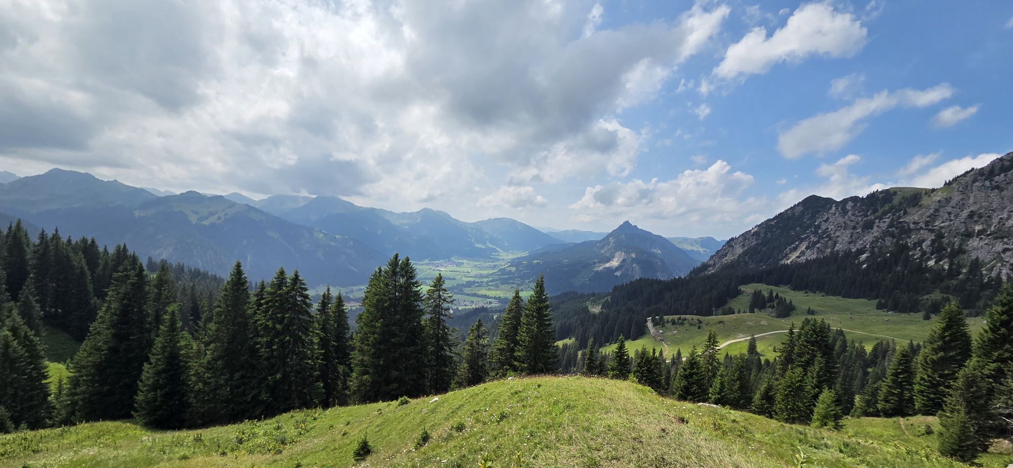
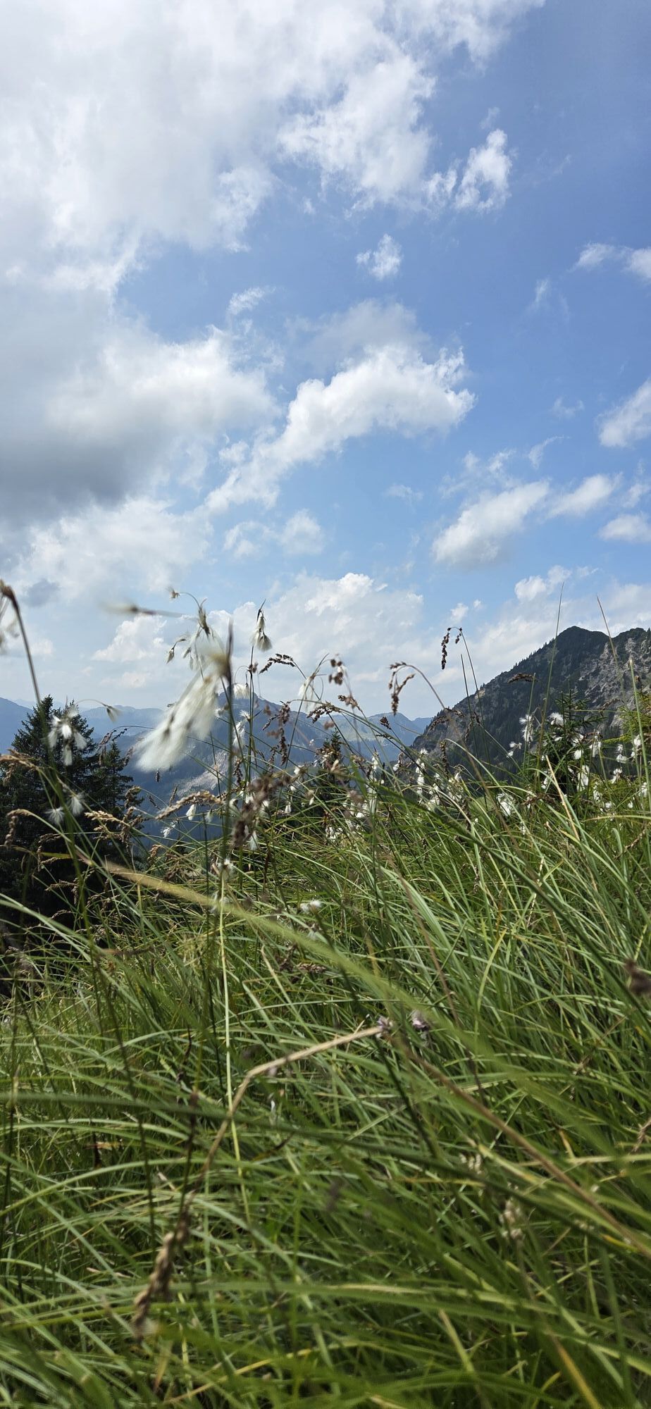
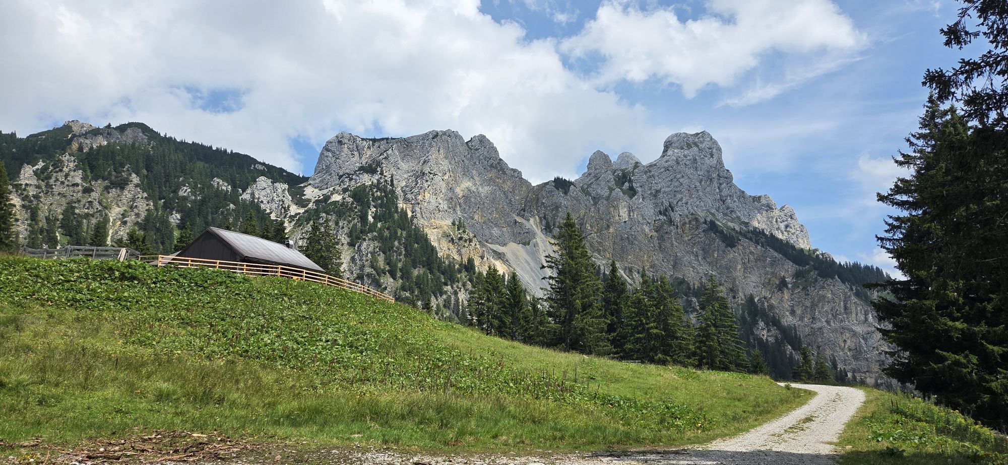
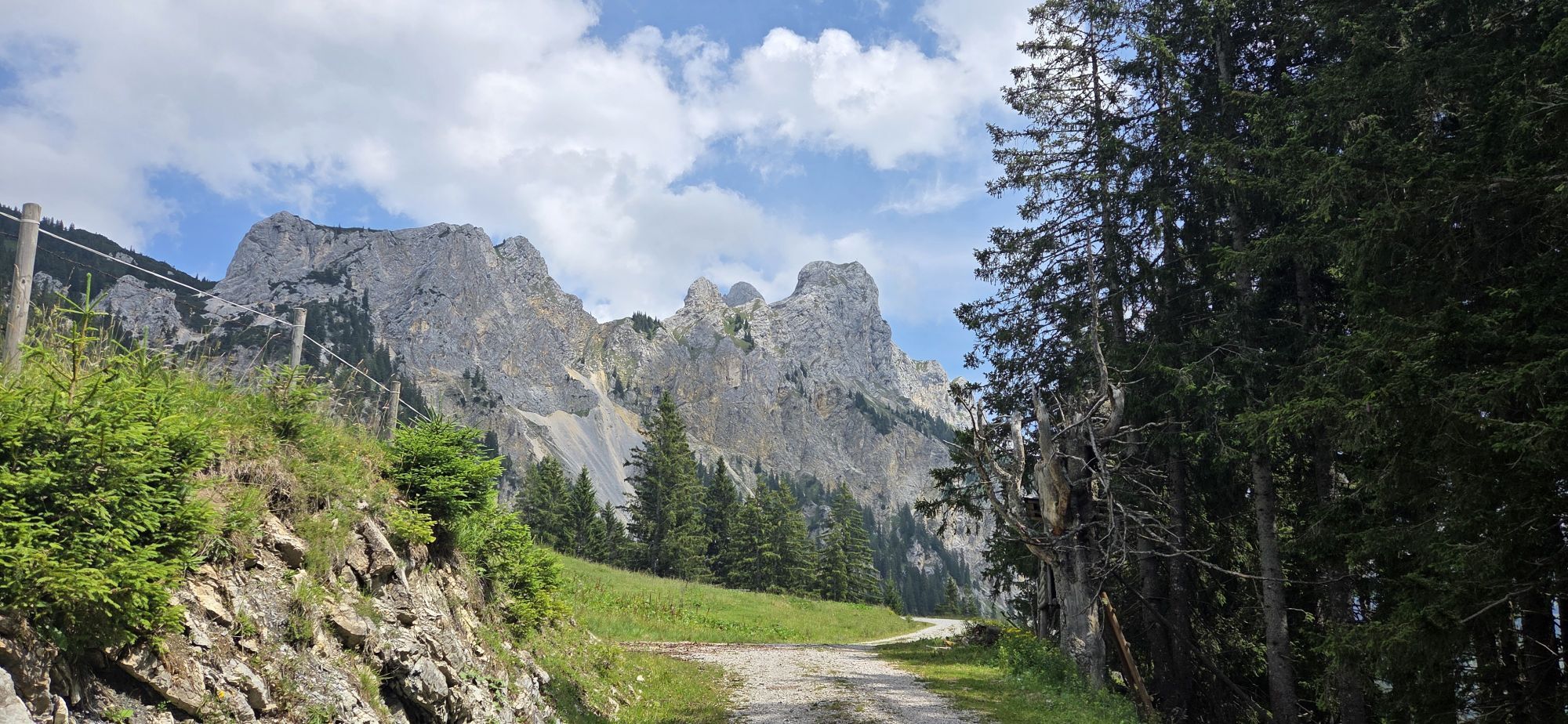
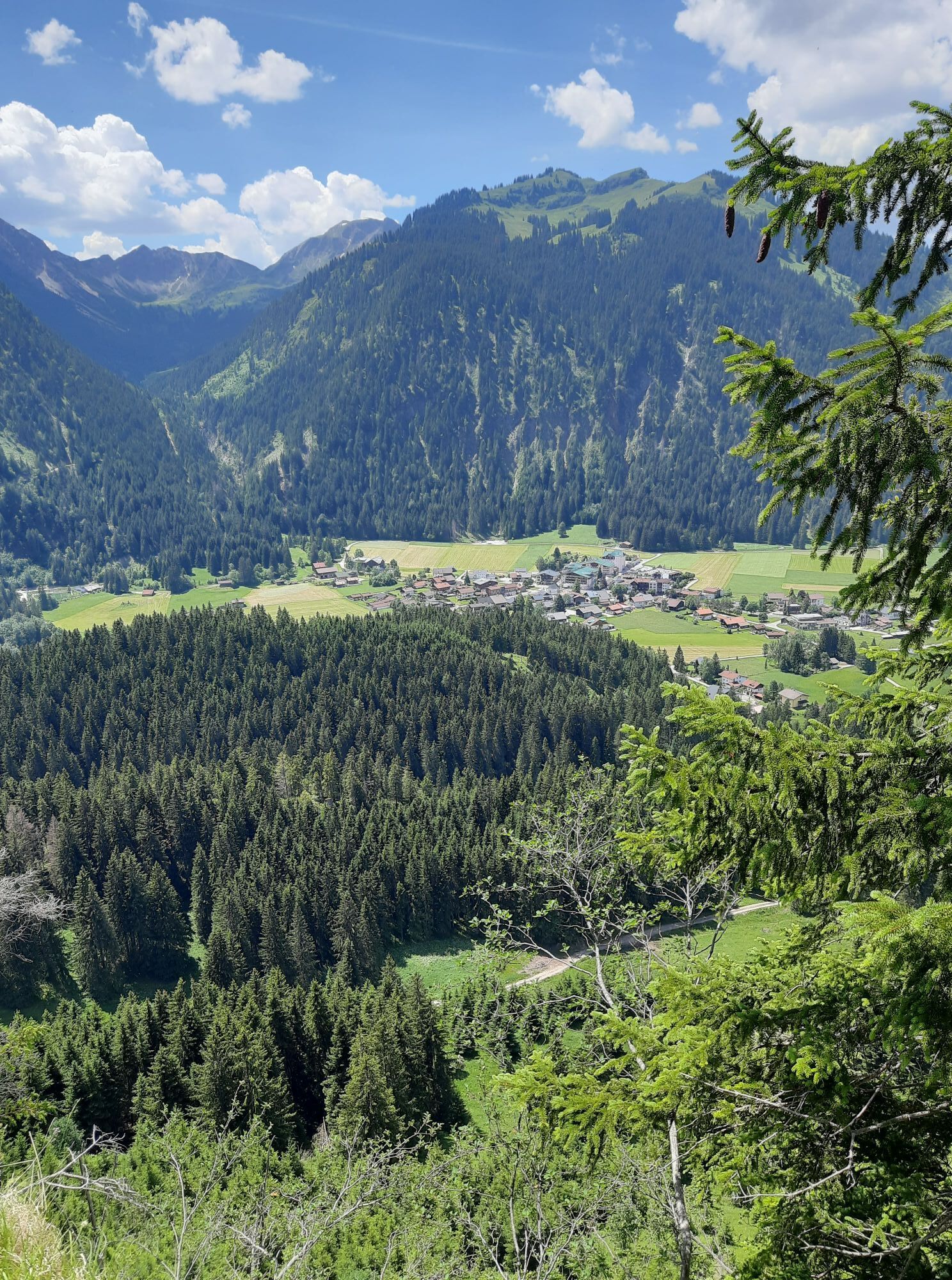
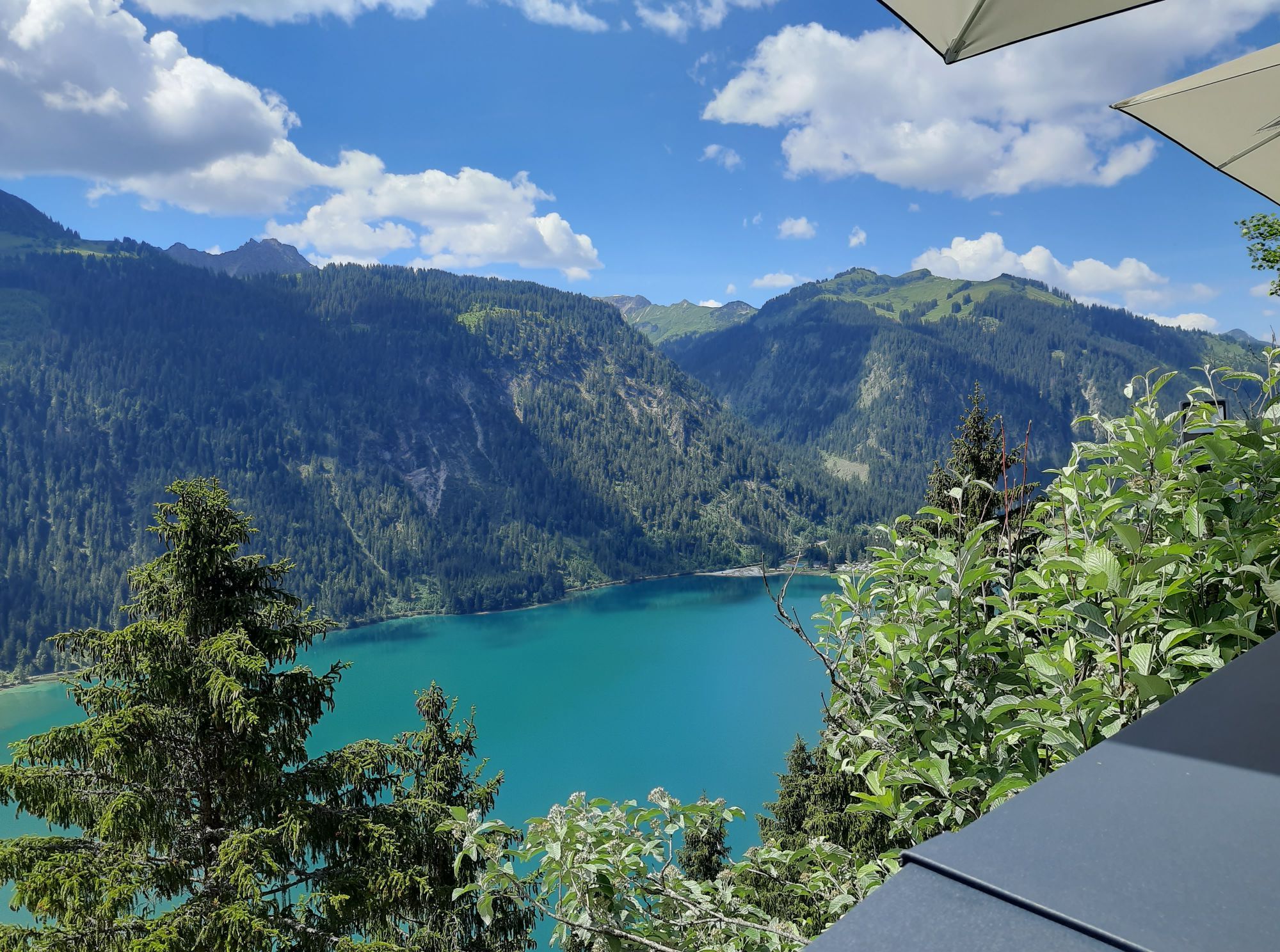
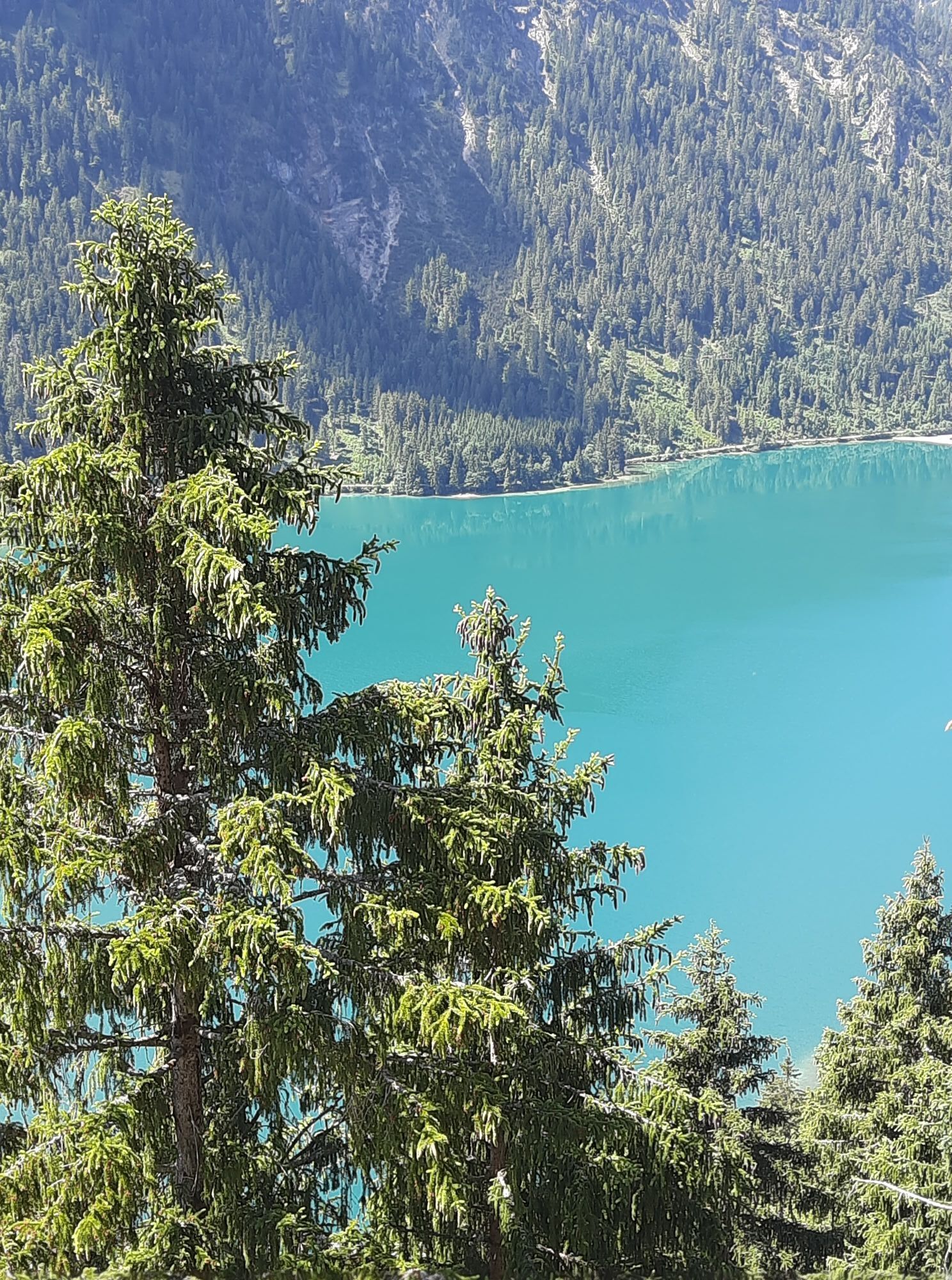
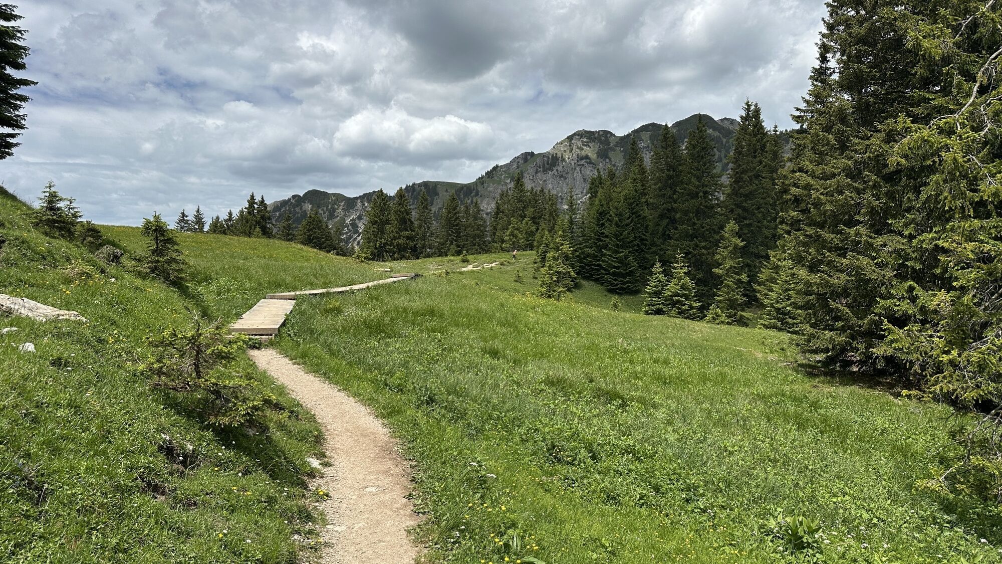
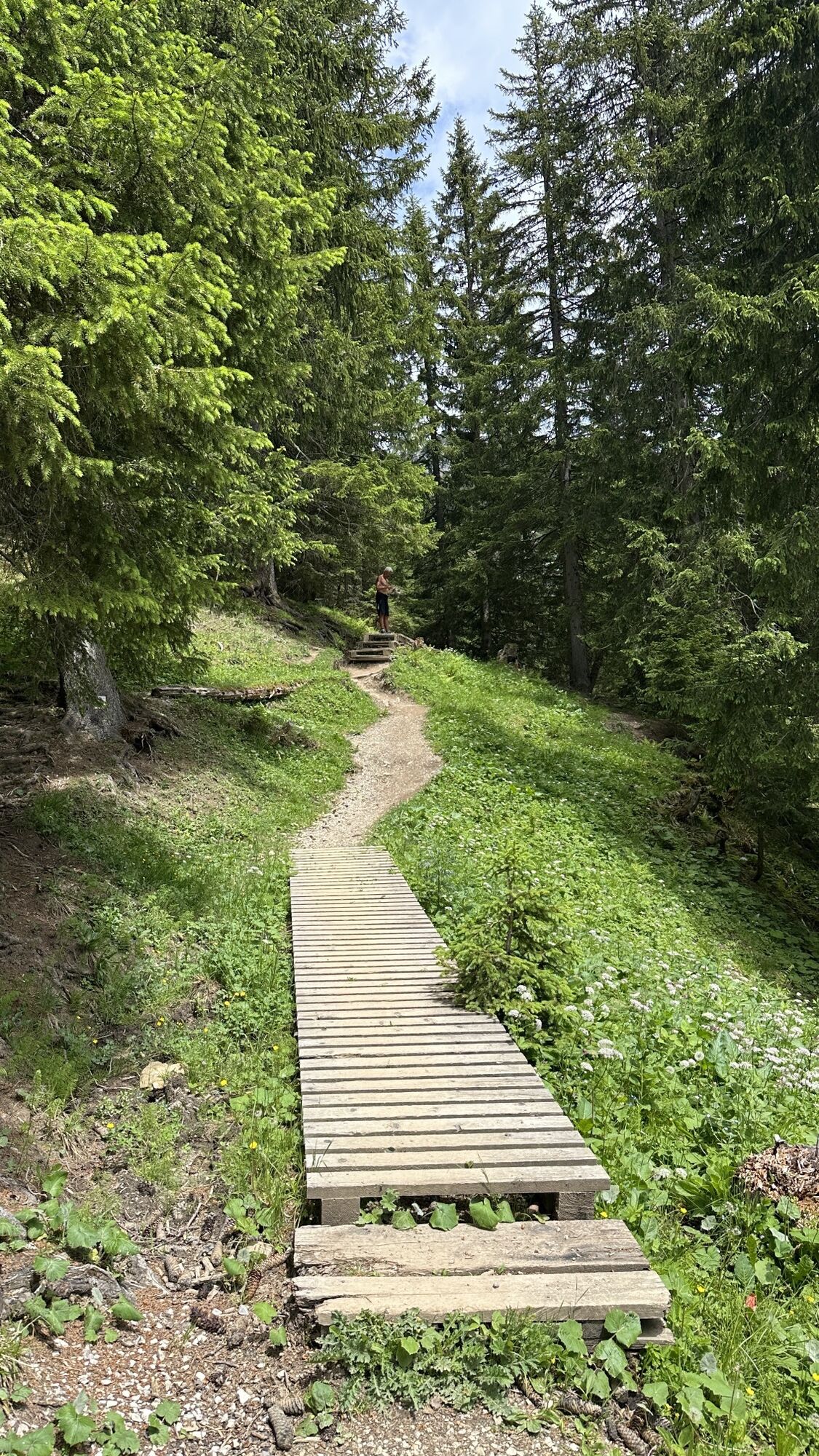
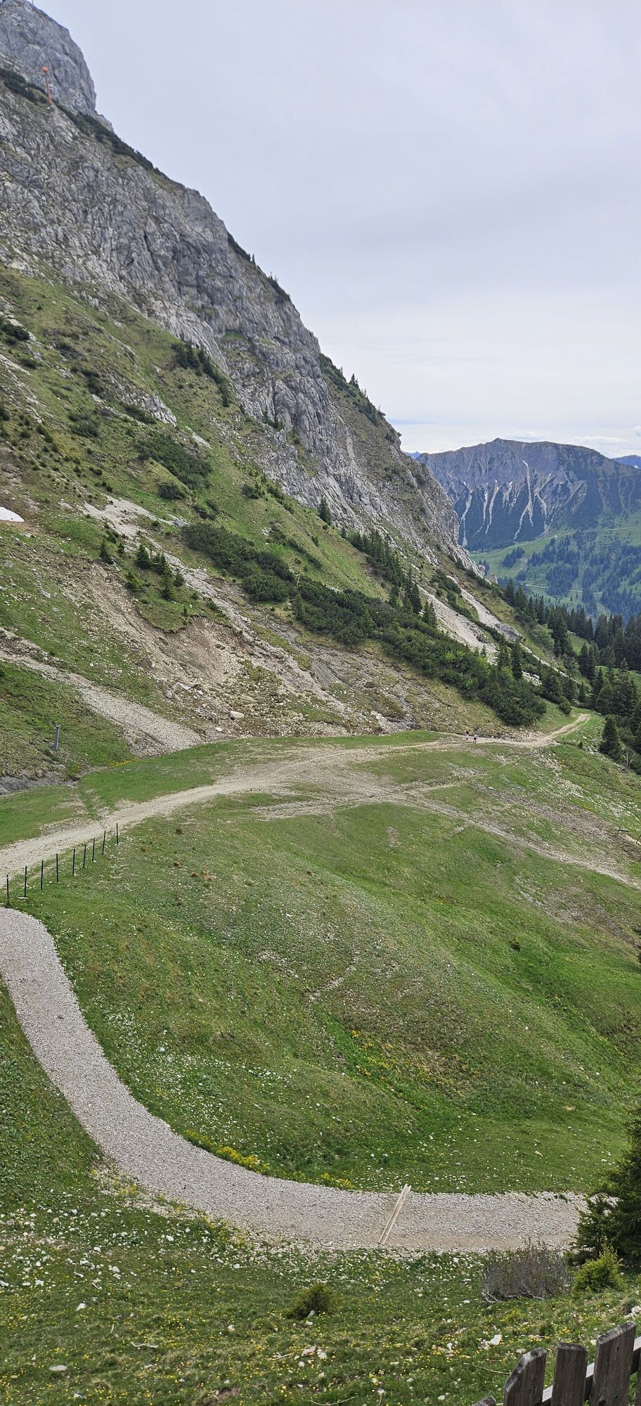
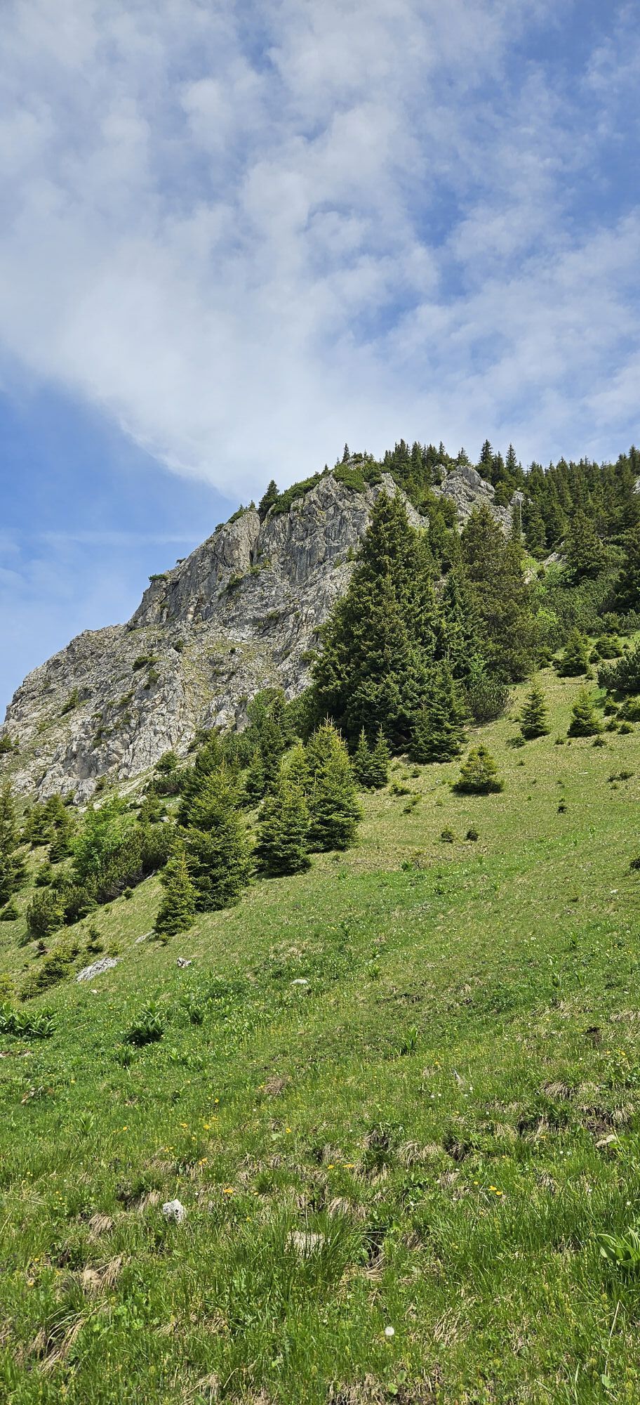
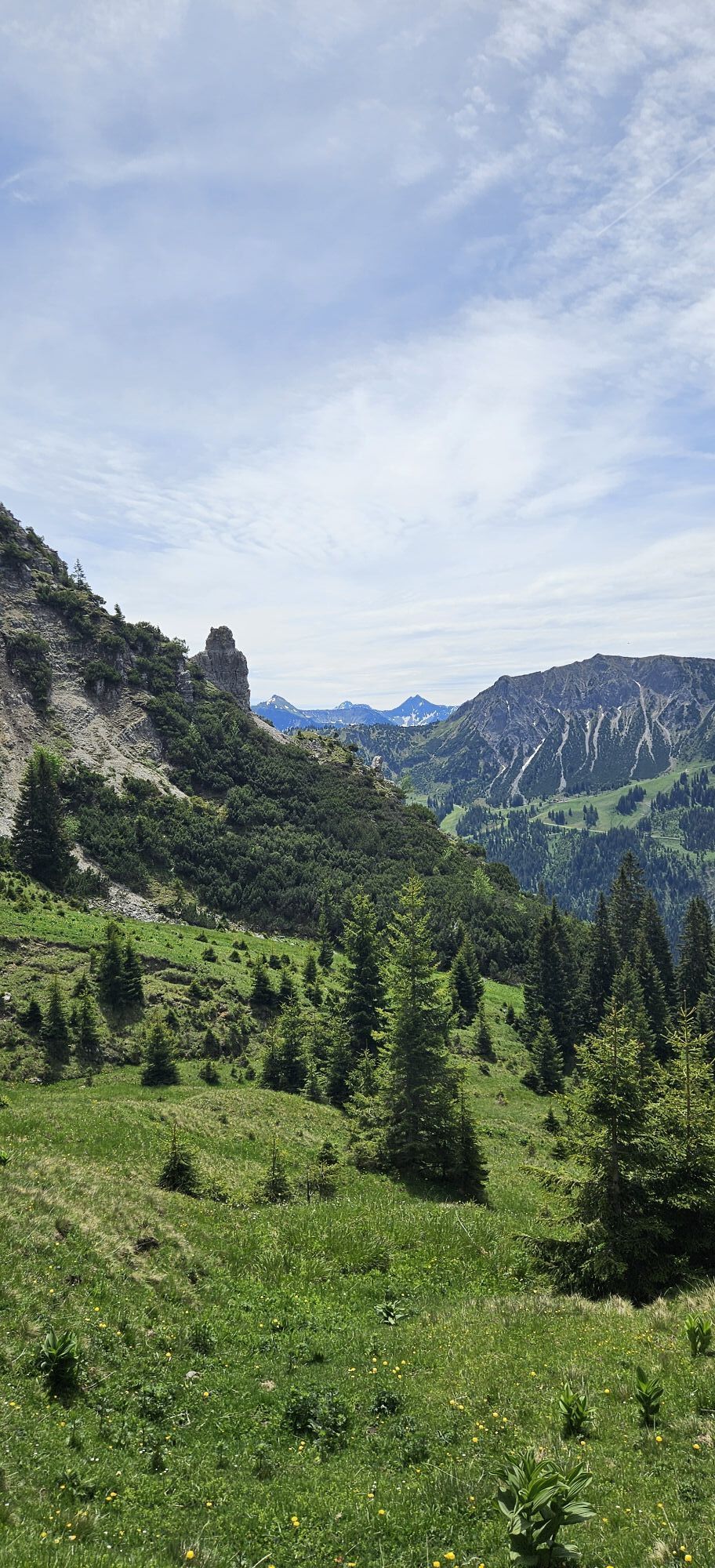
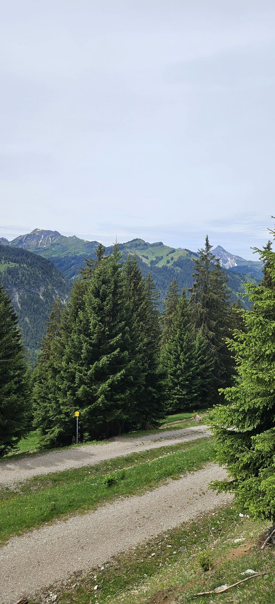
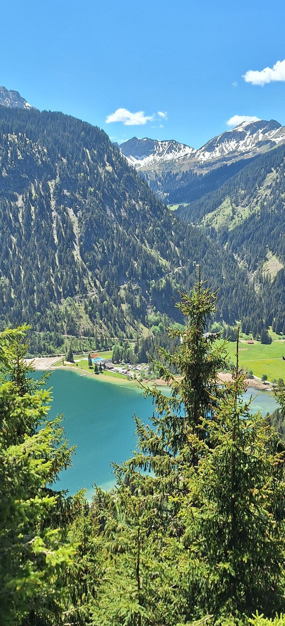
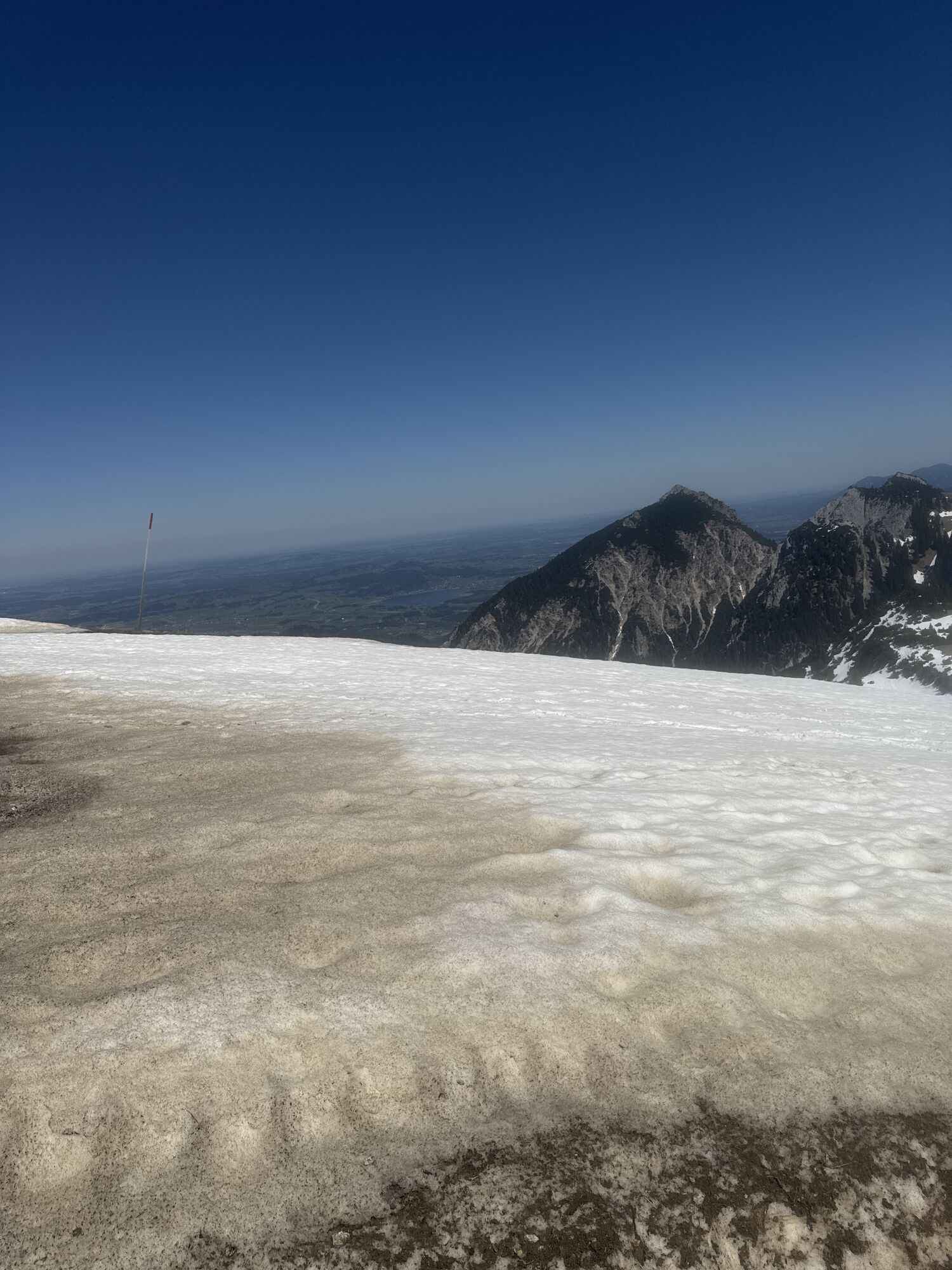
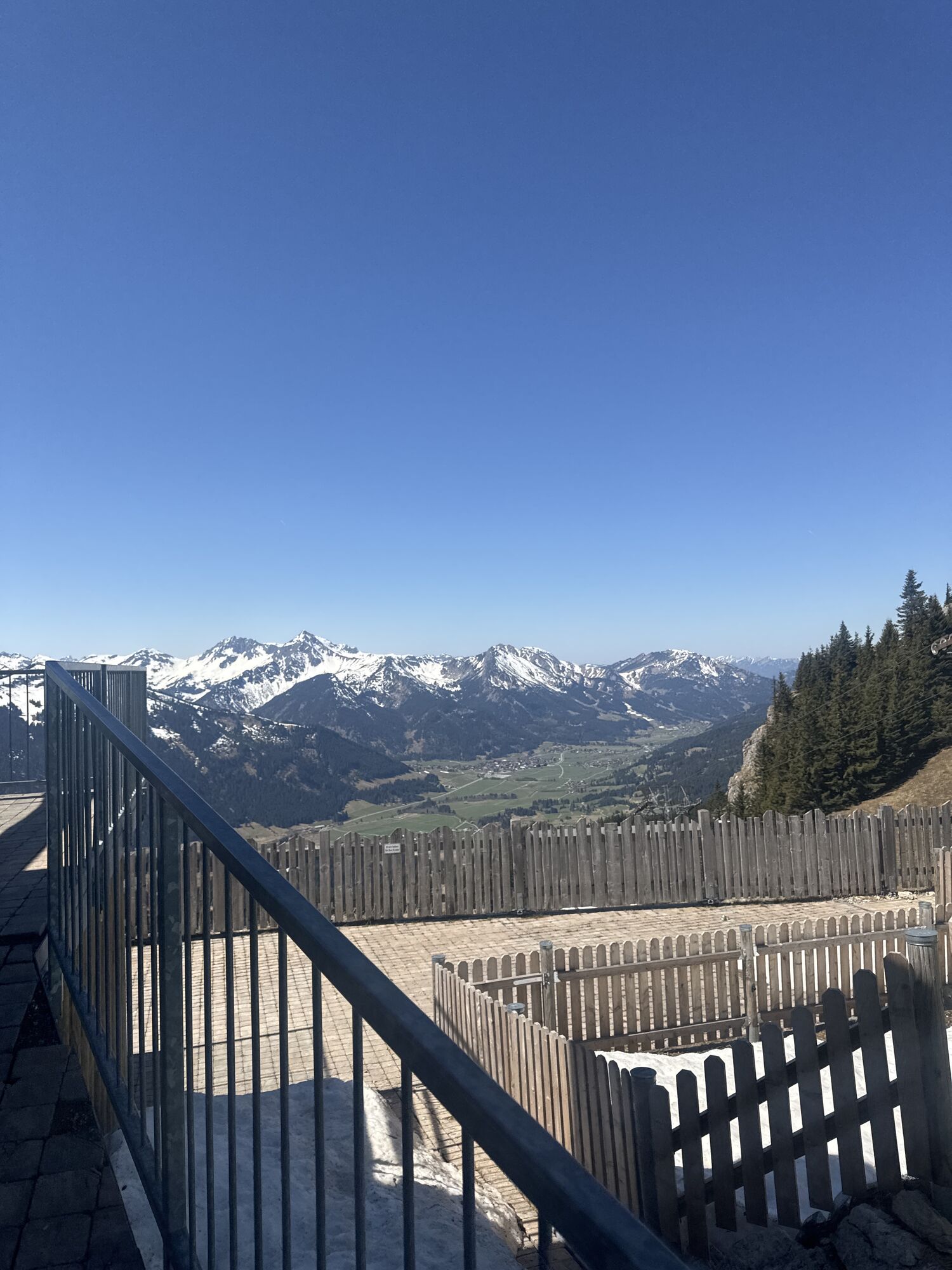
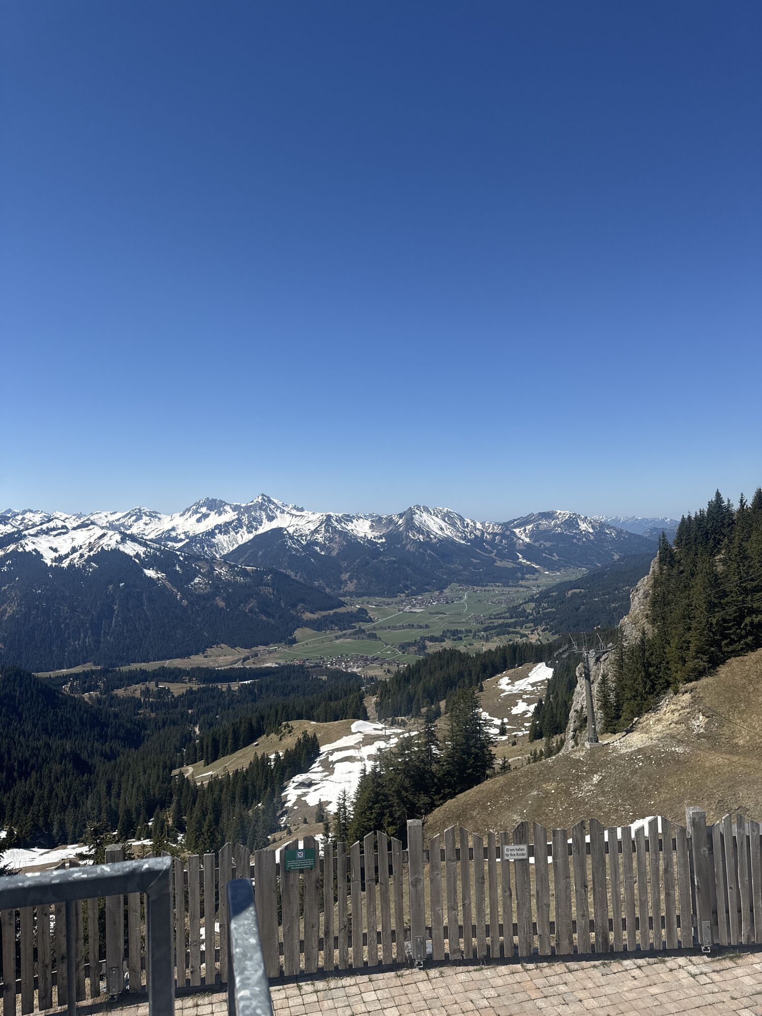
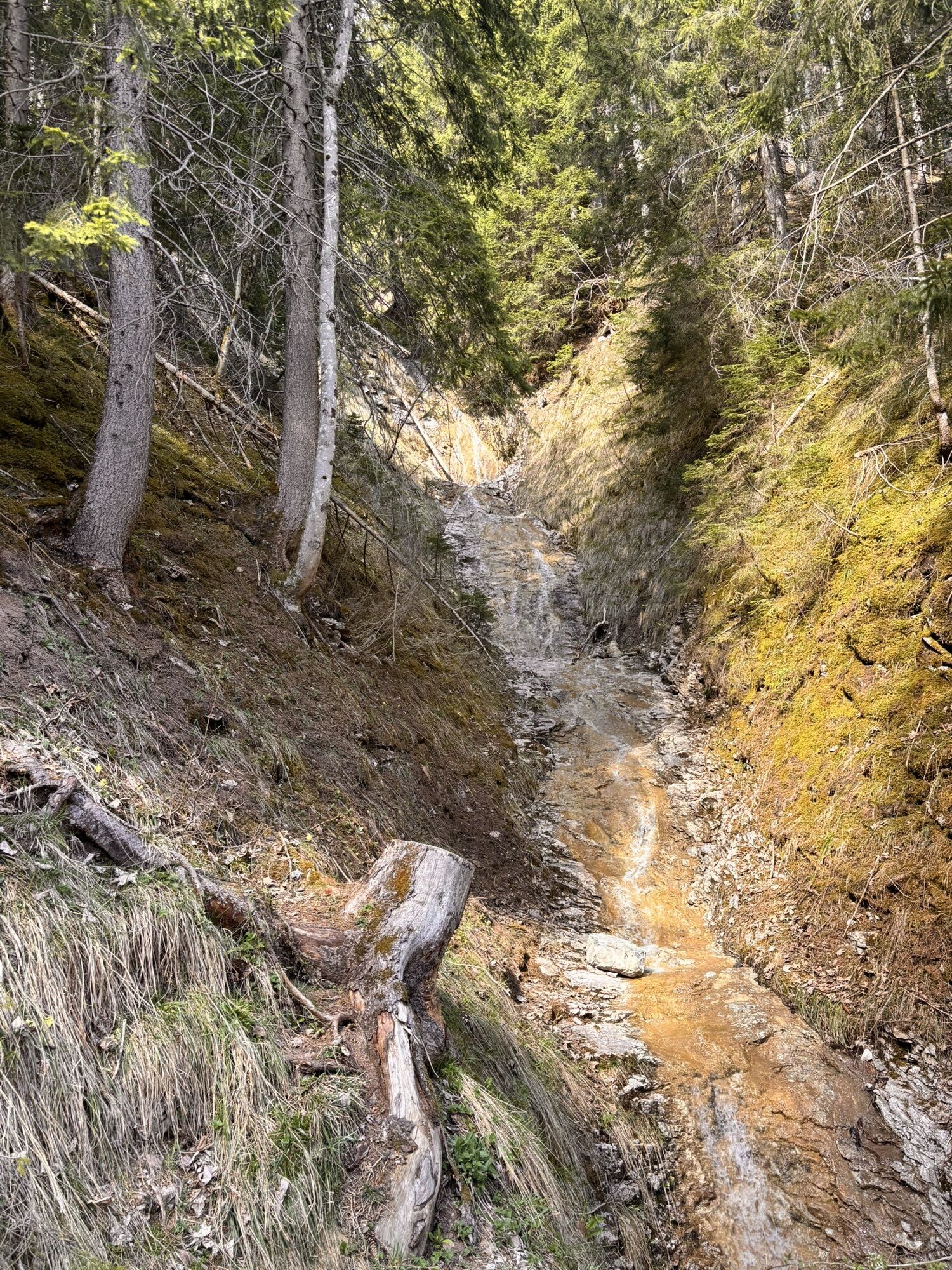
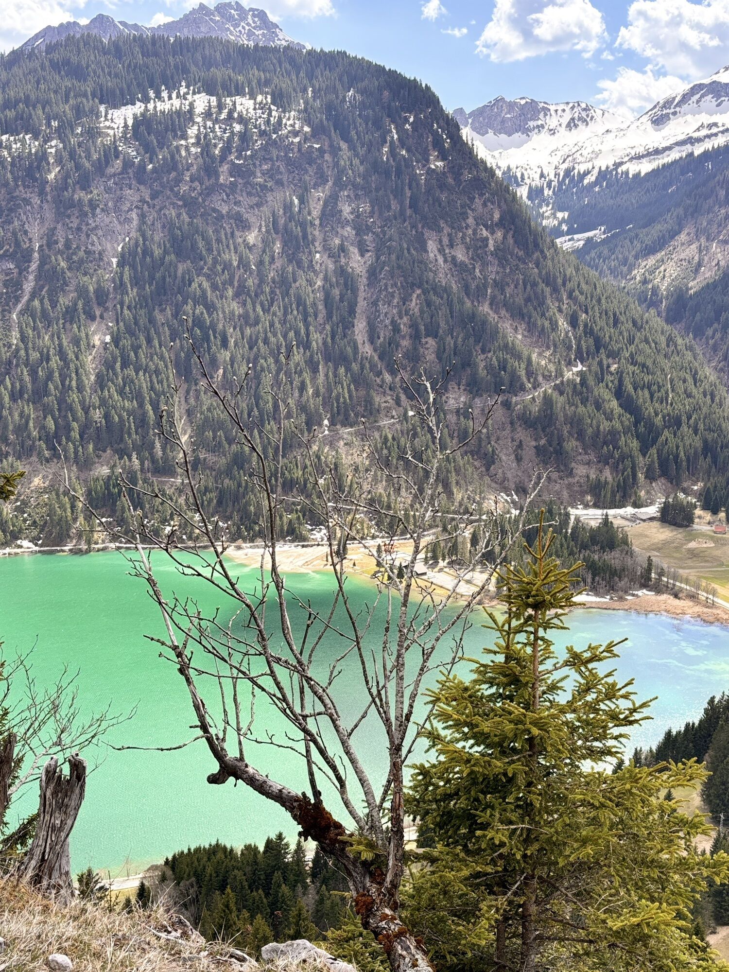
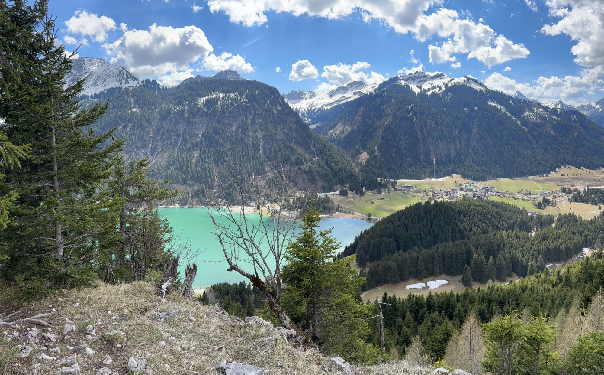
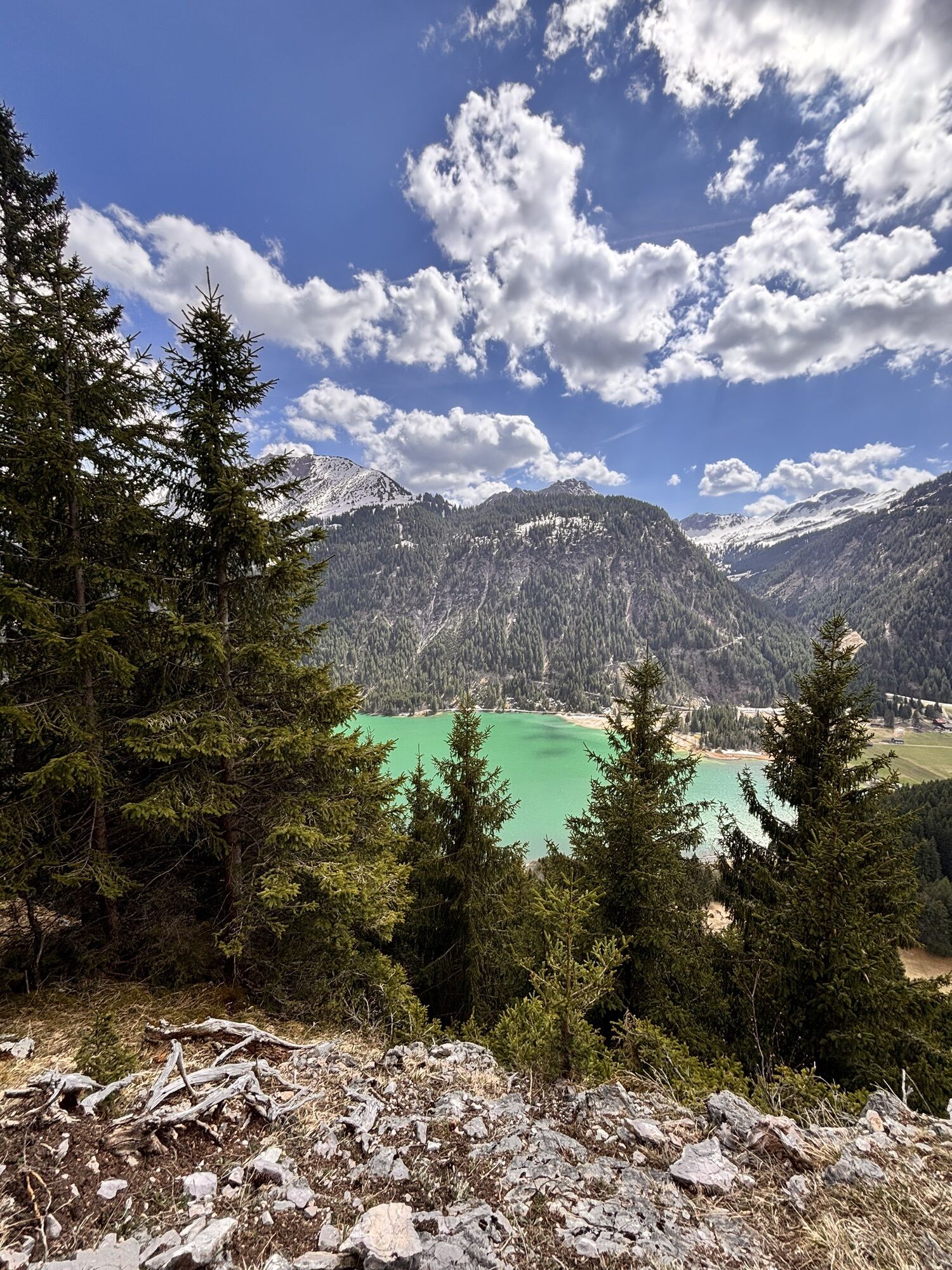
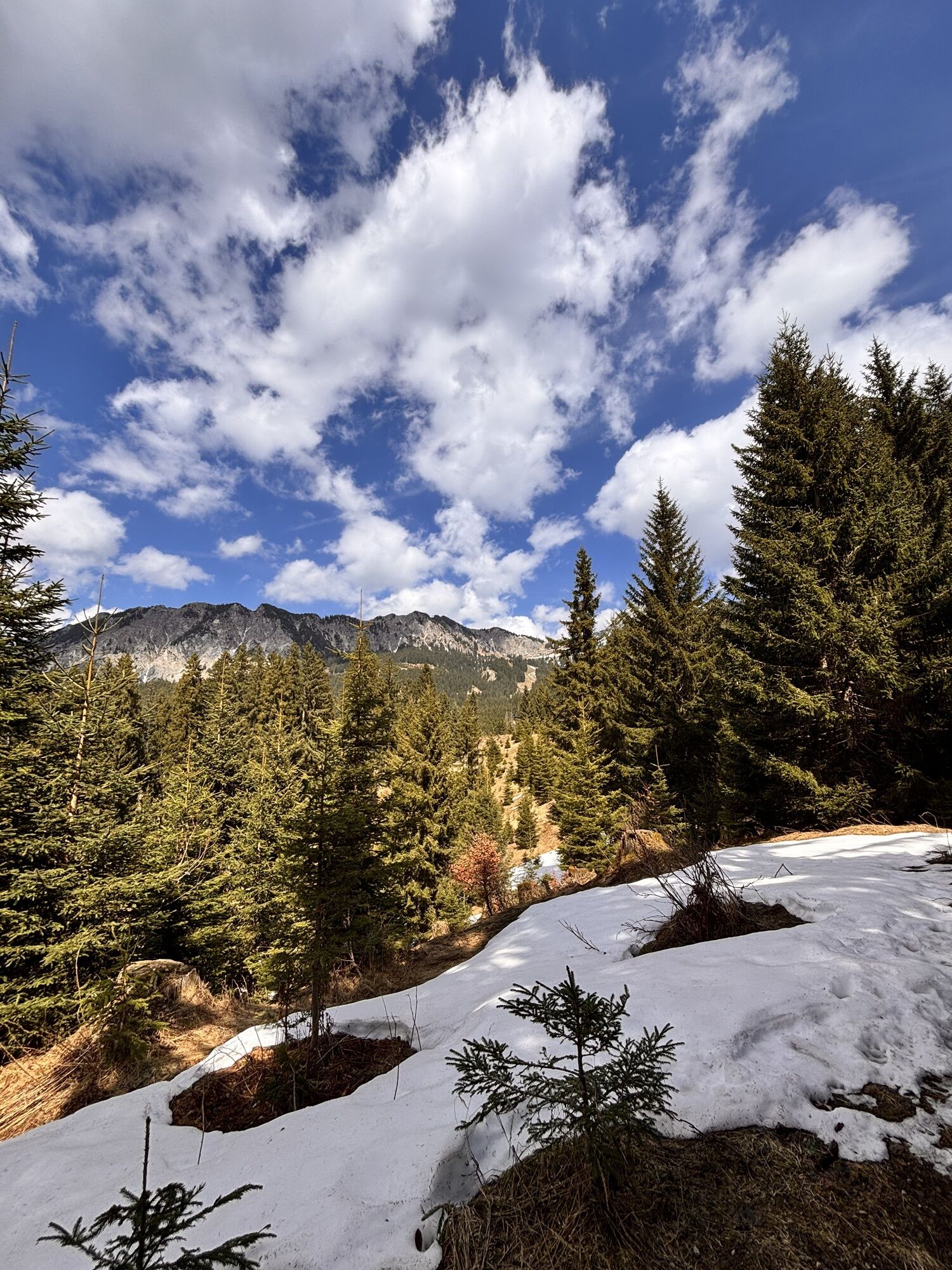
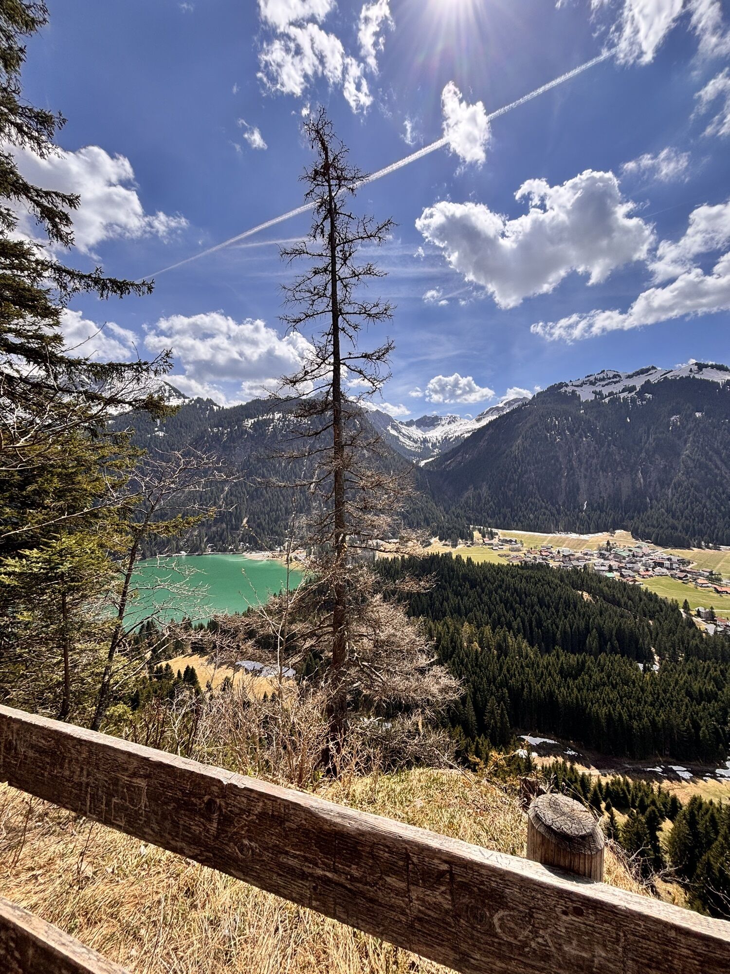
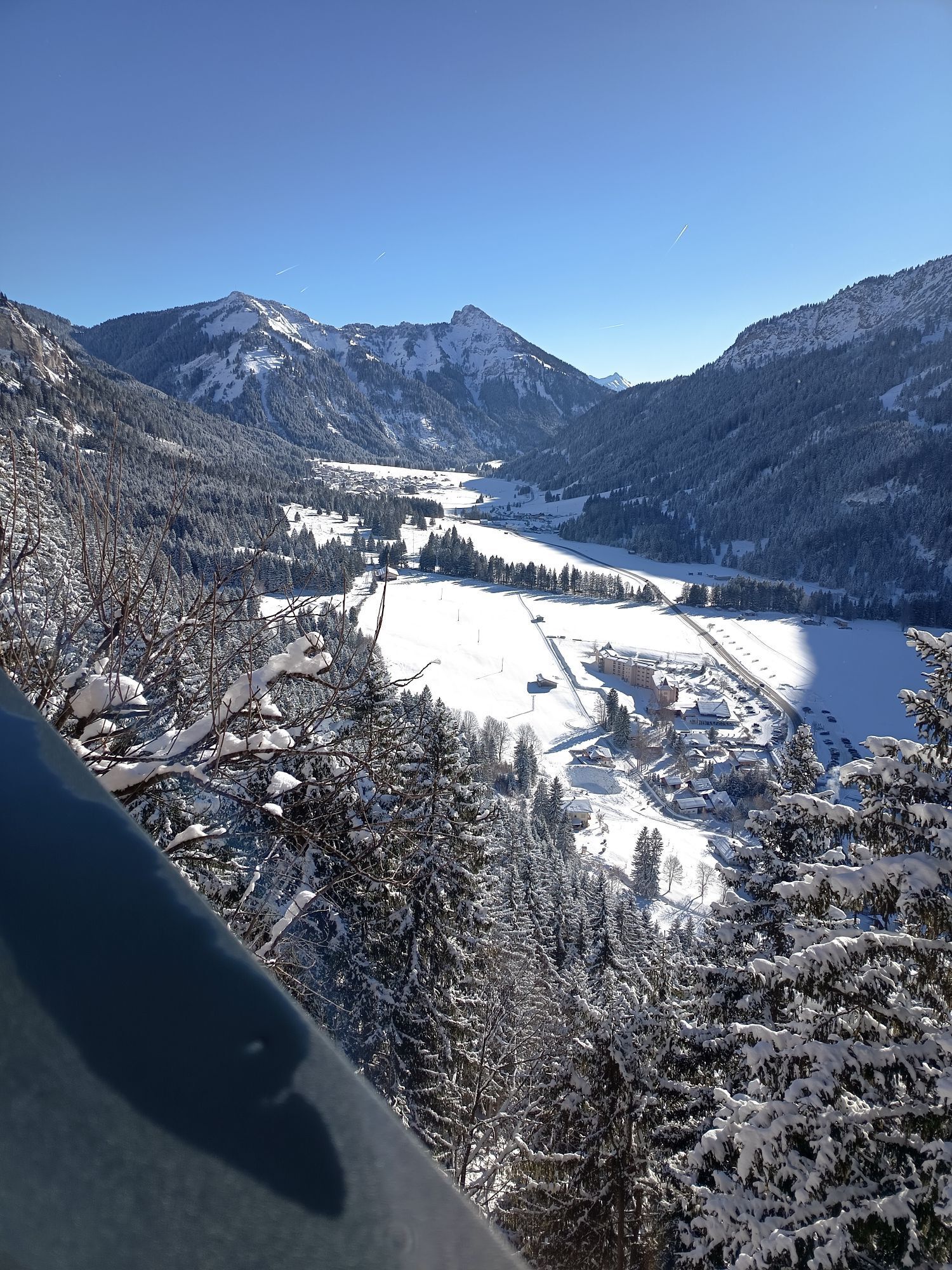
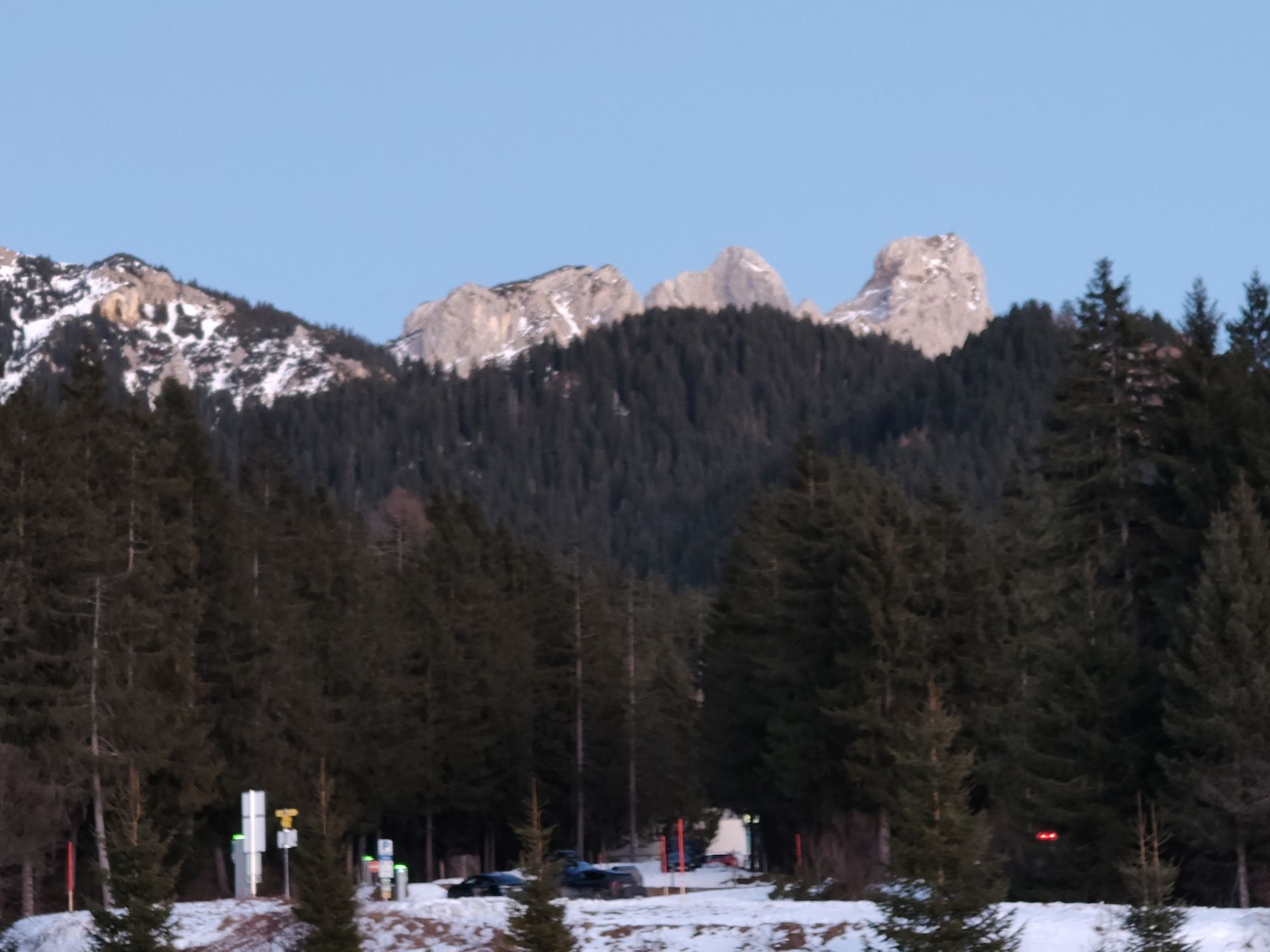
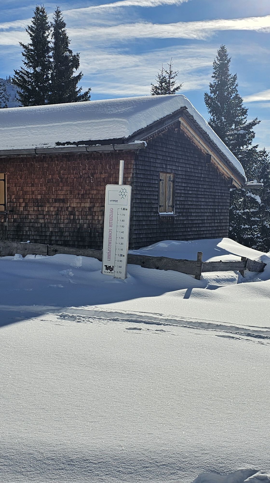
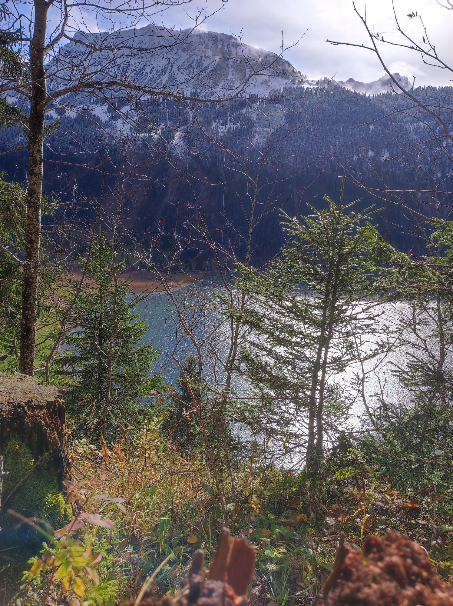
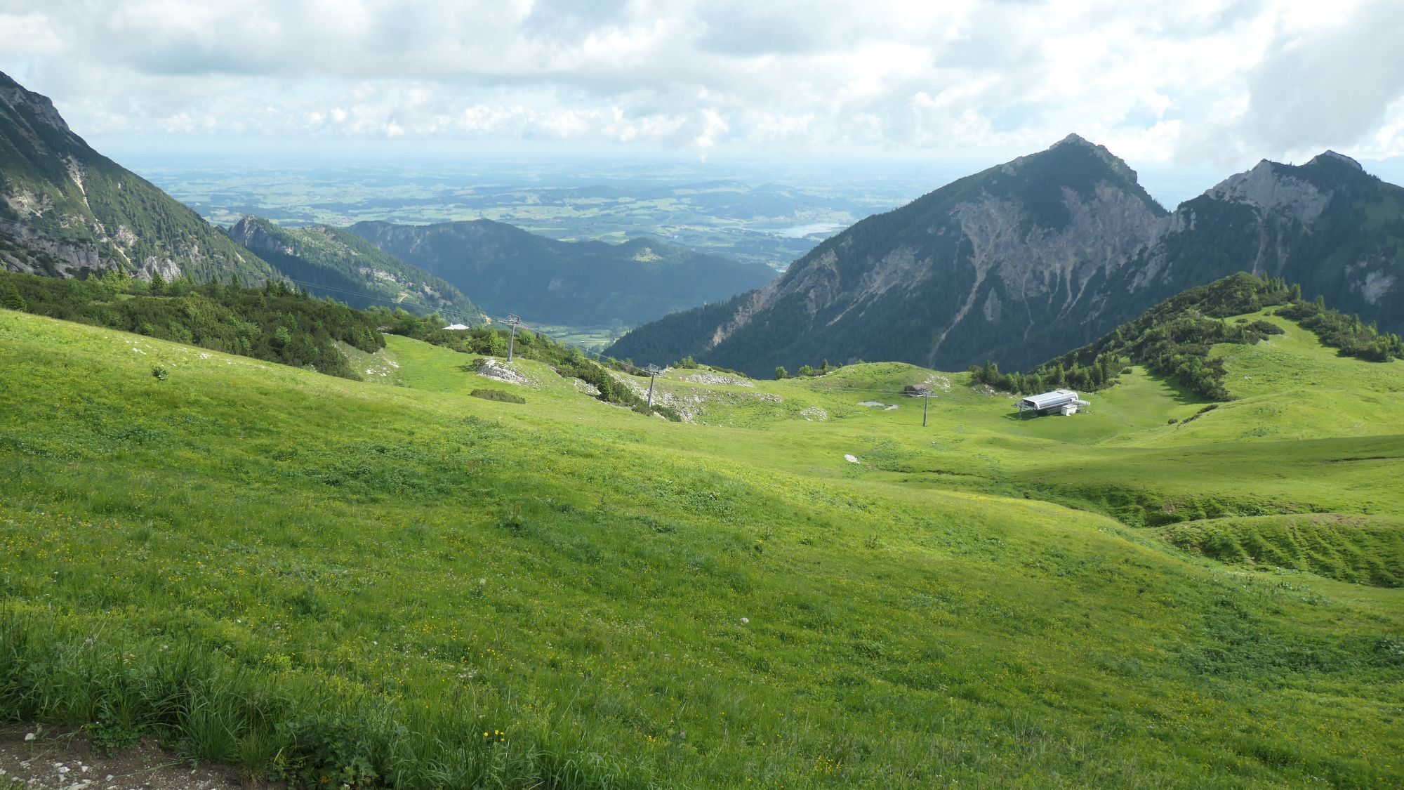
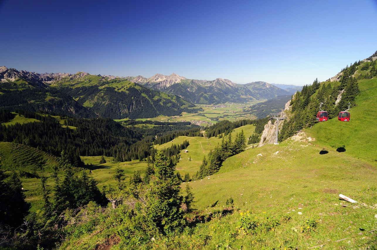
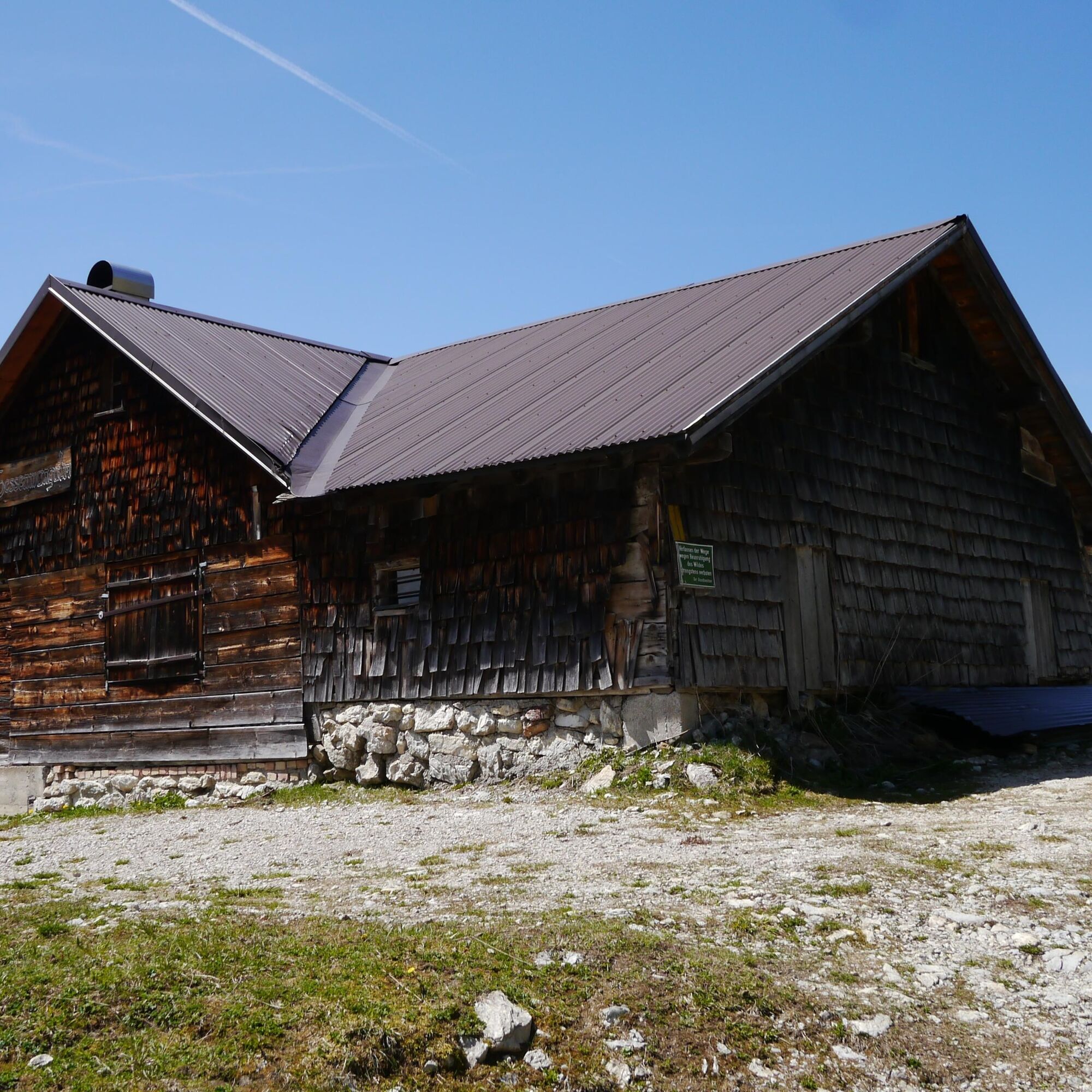
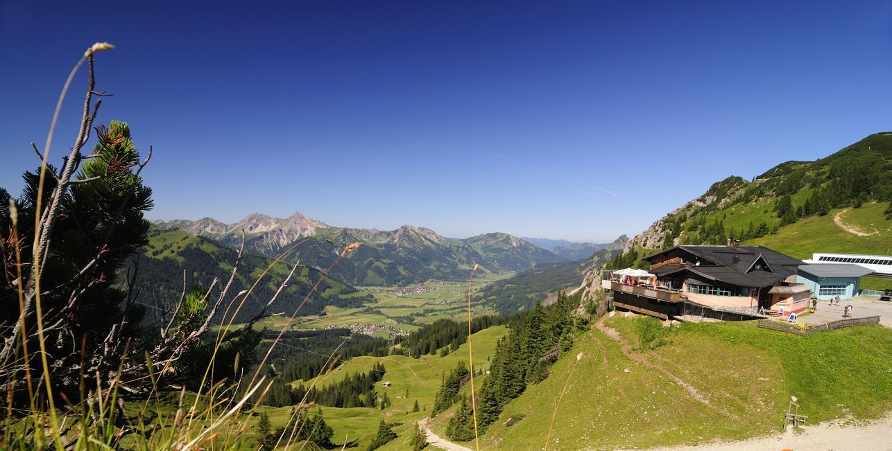
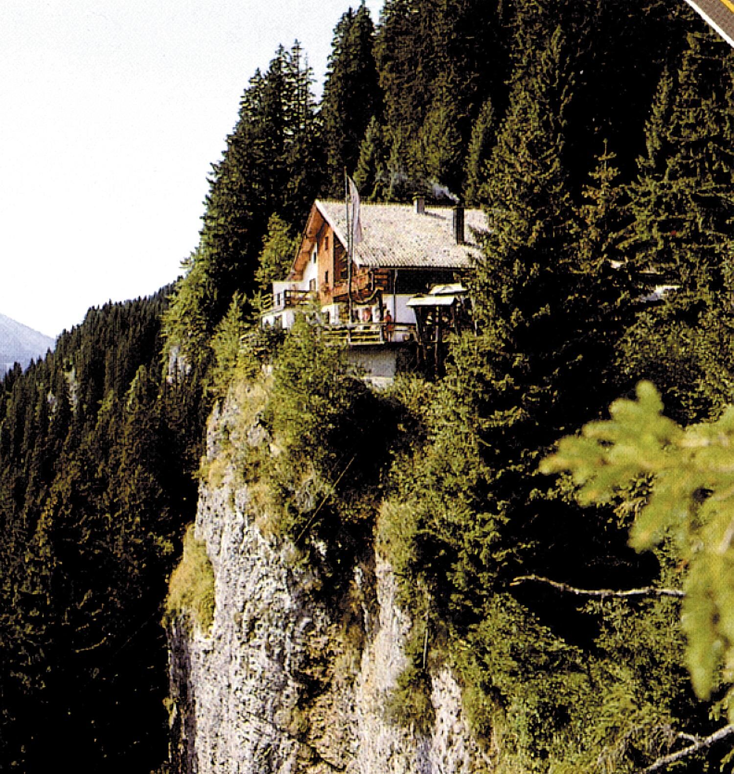
From Grän, Burgschenke, starting in the direction of Adlerhorst and the Gessenwangalm (no hut). Continue to Füssener Jöchle/Sonnenalm and take the 8-seater gondola lift to Grän.


Da
Da
The personal mountaineering equipment must be safe and serviceable and meet the relevant technical standards. Every hiker is recommended to obtain information about the planned tours from specialist alpine literature or on site.
It should be noted that in mountaineering there is an increased risk of accidents and injuries. Despite careful route planning, a basic risk always remains. Tour preparation through endurance sports, appropriate technical training and further education as well as personal prudence reduces the danger of accidents and risks. However, please never forget that the weather in the mountains can change very quickly. Stay on the marked hiking trails.
On the motorway A7 at the exit "Oy-Mittelberg" on the B310 towards Wertach and to Oberjoch. There follow the signposting "Tannheimer Tal" B199 until you reach Grän. From the Tyrolean side via Reutte on the B198 towards Lechtal until Weißenbach, over the Gaichtpass along the B199 until Grän.
By train to Sonthofen, Pfronten/Ried or Reutte, then by bus to Grän.
Grän, parking at Kohlbichl
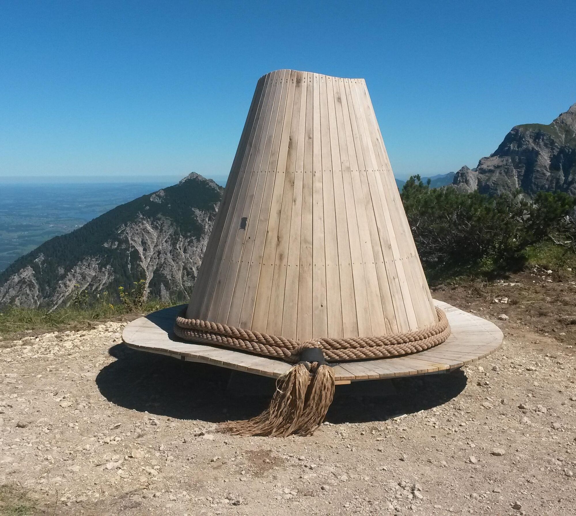
If you would like to make another detour from the mountain station of the Füssener Jöchles to the "Kuckst Du - Sonnenpanoramahut", you can easily reach it on our geological trail in the direction of Gamskopf. On the brim of the hat up to 18 persons can take a seat and enjoy the beautiful panoramic view of the Tannheimer Tal and the Allgäu Alps. The hat is available to our guests in summer as well as in winter!

Spletne kamere s turneje
-
Tannheim
-
Neunerköpfle Mittelstation
-
Haldensee - Neunerköpfle
-
Grän - Almdorf Tirol
-
Pfronten - Ostlerhütte
-
Grän - Hotel Bergblick
-
Füssener Jöchle Bergstation
-
Füssener Jöchle Bergstation
-
Füssener Jöchle Bergstation
-
Füssener Jöchle Bergstation
-
Füssener Jöchle Bergstation
-
Tannheimertal
-
Breitenbergbahn - Pfronten
-
Füssener Jöchle Bergstation
-
Füssener Jöchle Bergstation
-
Haller
-
Gundhütte - Tannheimertal
-
Talstation Neunerköpfle - Tannheim
Pridobite vpogled
Vedno v živo na mestu z več kot 9.500 spletnimi kamerami. bergfex Kot uporabnik Pro si lahko zdaj ogledate ustrezne spletne kamere za številne izlete v aplikaciji izleti iz. Tako si lahko neposredno ogledate trenutne razmere.
Priljubljeni izleti v okolici
-
4.8
Thaneller
srednjaPohodništvo 4.90 km -
4.9
Hiking tour to Breitenberg
težkoPohodništvo 15.6 km -
4.7
Mountain hike to the Aggenstein
težkoPohodništvo 15.3 km -
4.6
Around Weißensee
svetlobaPohodništvo 6.12 km -
4.9
Gemeinde Grän, Tirol/Österreich Aggenstein Rundtour über Höhenweg
srednjaPohodništvo 9.84 km -
4.9
Tegelberg | Branderschrofen | Neuschwanstein
srednjaPohodništvo 14.8 km -
4.8
Do koče Bad Kissinger Hütte po poti Gräner Höhenweg
srednjaPohodništvo 13.0 km -
4.6
Yellow Wall Trail, Tegelberg (A)
srednjaVia ferrata 3.65 km -
4.4
Rundwanderung Stuibenfälle
srednjaPohodništvo 3.92 km -
4.8
Tannheim / Vilsalpsee / Landsberger Hütte
srednjaPohodništvo 15.7 km
Pohodništvo in sledenje


Ne zamudite ponudb in navdiha za naslednje počitnice
Vaš e-poštni naslov je bil dodan na poštni seznam.





