
Ski tour Ederplan 2.062m
svetloba
Pridobite to turo v svoj mobilni telefon
Ski tour Ederplan 2.062m
svetloba
Smučarska tura
8.47
km
Skenirajte kodo QR in začnite navigacijo v aplikaciji bergfex.


Pohodništvo in sledenje





Ski tour Ederplan 2.062m
svetloba
Razdalja
8.47
km
Trajanje
03:50
h
Ascent
1,165
hm
Morska gladina
784 -
1,974
m
Prenos skladbe
Ski tour Ederplan 2.062m
svetloba
Smučarska tura
8.47
km
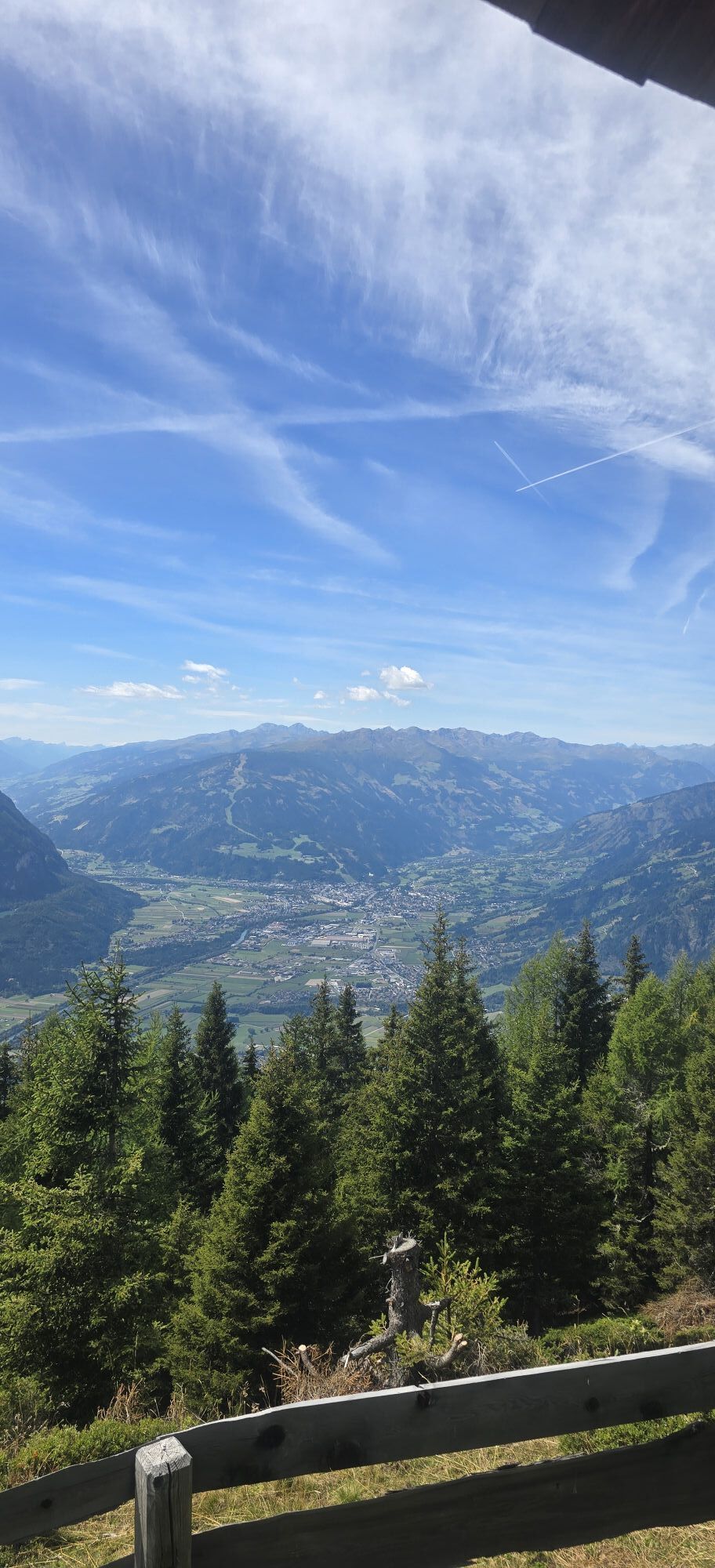
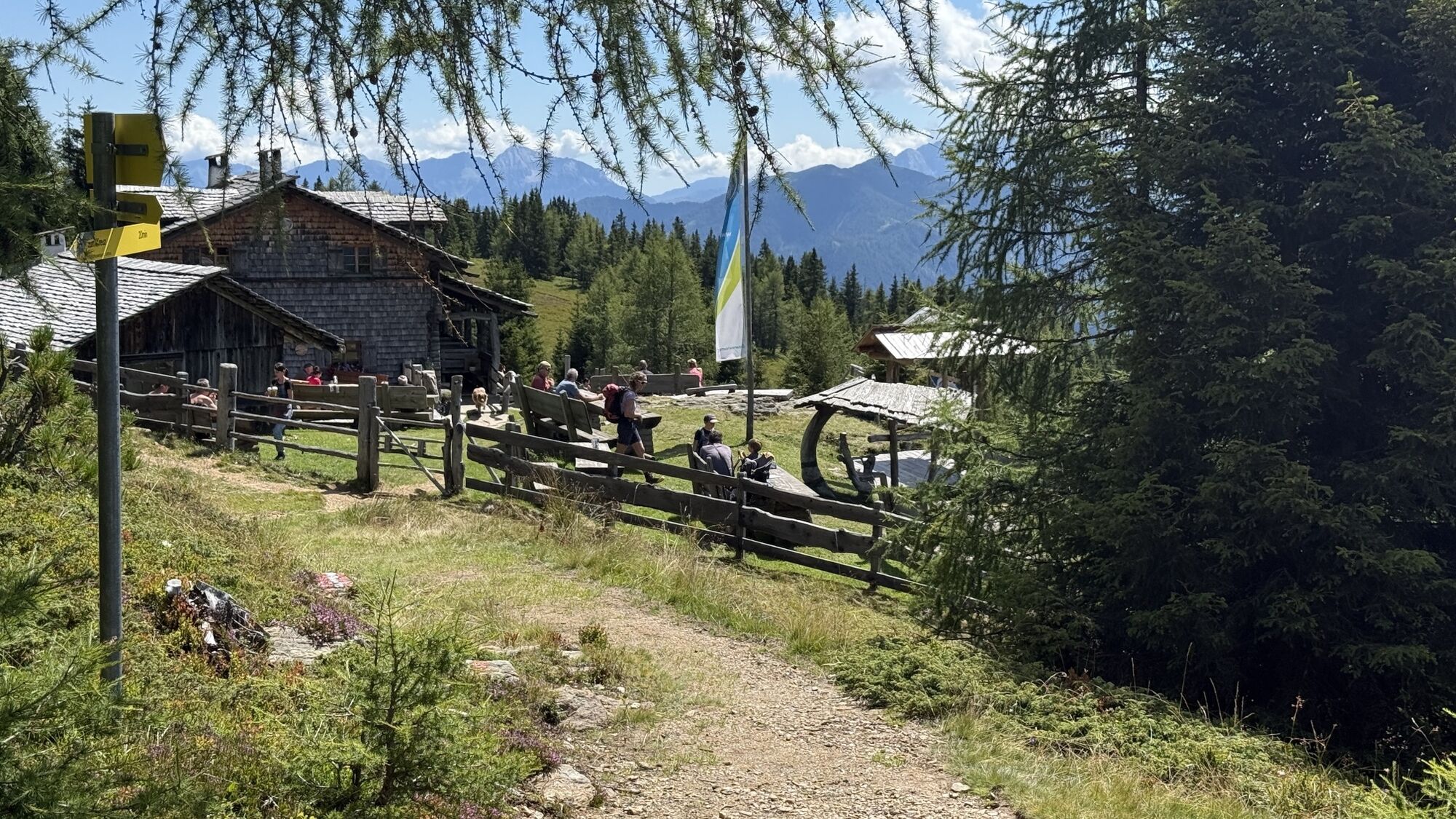
The Ederplan, also described by locals just as the ‘Plon’, is the most westerly cornerstone of the Kreuzeck group. Just beneath its domed peak is the traditional Anna Schutzhaus (1991 m), named after the...
Opis
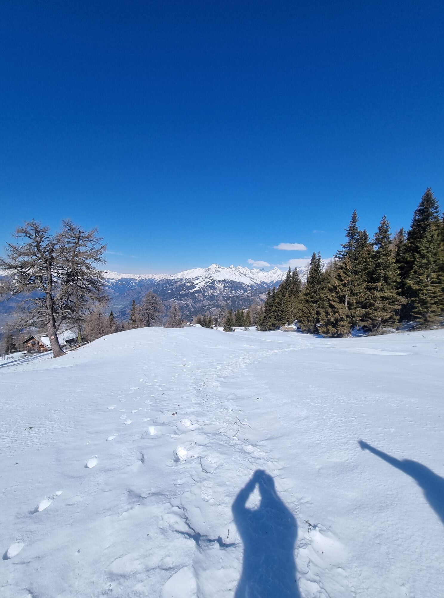
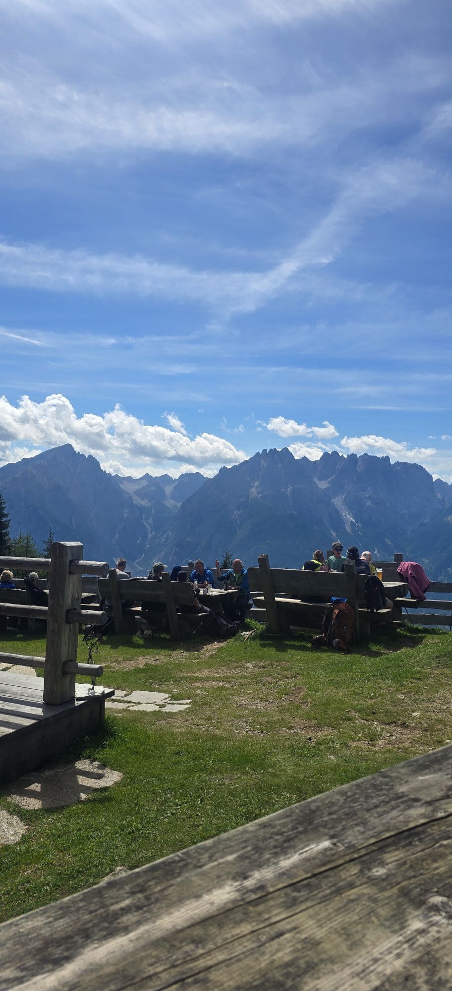
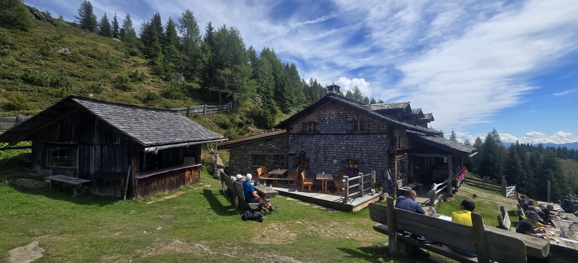
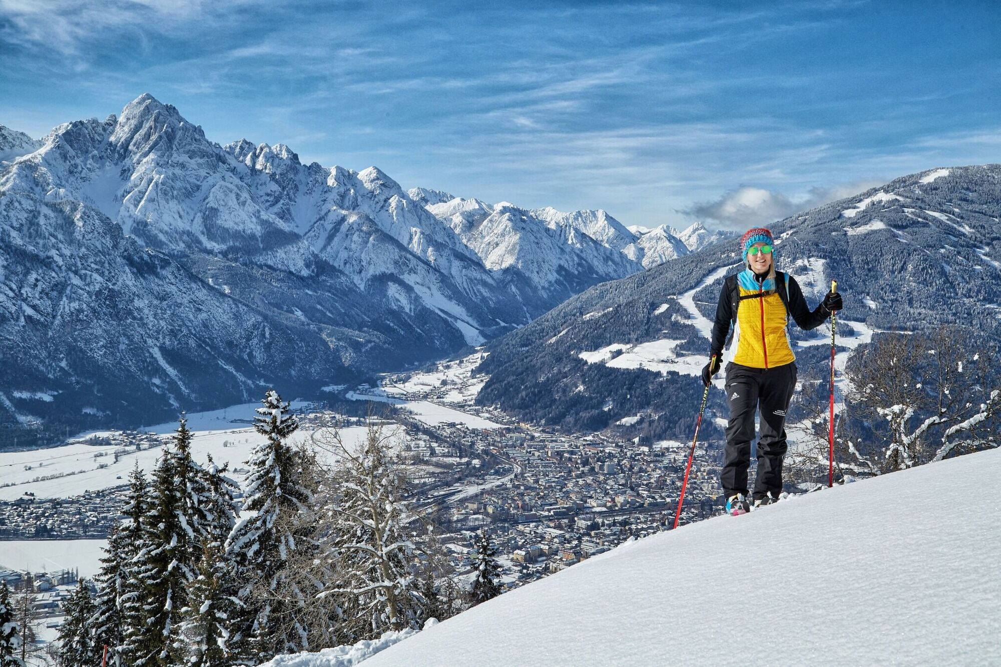
The Ederplan, also described by locals just as the ‘Plon’, is the most westerly cornerstone of the Kreuzeck group. Just beneath its domed peak is the traditional Anna Schutzhaus (1991 m), named after the wife of painter Franz von Defregger. The ski tour to the ‘Plon’ is only recommended when there is plenty of snow, when a descent to the lowlands is possible.
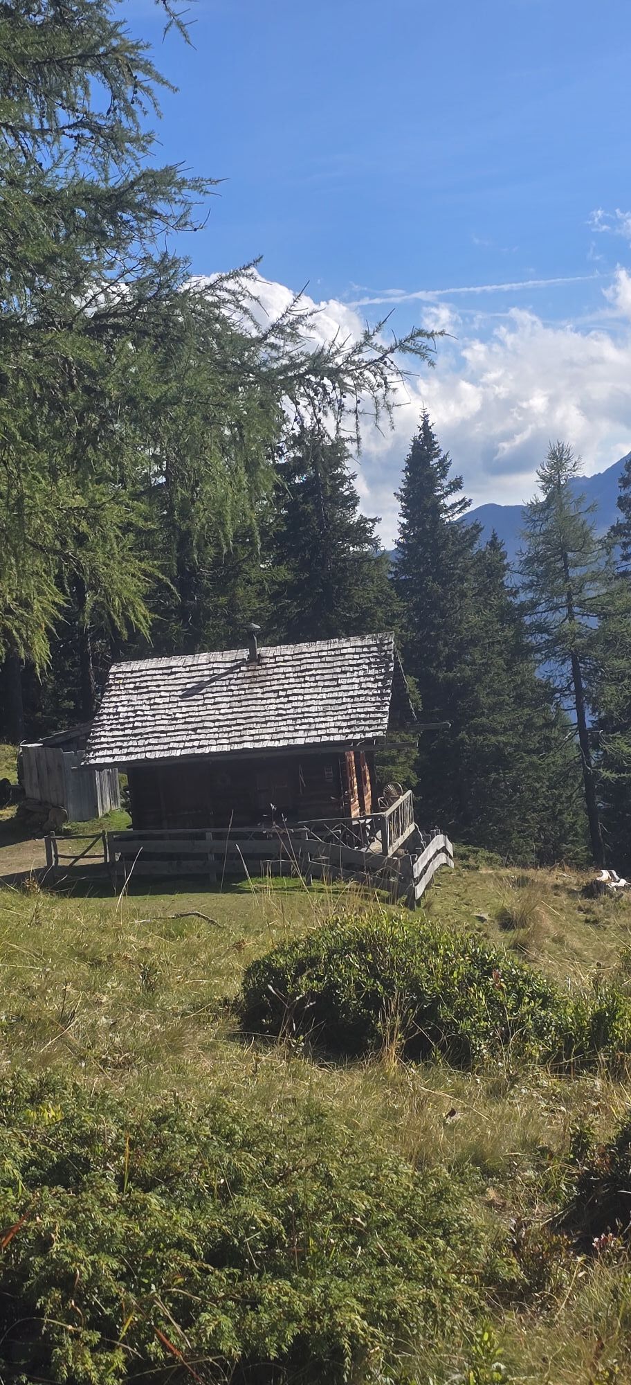
The starting point for our tour is the parish of Görtschach (800 m) to the east of Dölsach, where an asphalt road takes us to the highest buildings. There are only a few car parking options available there. Via long forest trails we achieve height slowly. Short-cuts through the steep forest are not advisable in the lower section since you are in a rough area of forestation. However as soon as you leave this terrain you can truncate the route via a forest trail over forest aisles and glades which have a few hairpin bends. After around 2 hours we reach the ‘Kalte Mösl’ (1635 m), a small inn which has a pond and superb panoramic views. We cross the small plateau and keep heading north on the steeper forest aisles again (route signposts!). Via the summer trail which proceeds via deep snow-covered pastureland and glades, after another hour we get to Anna Schutzhaus. From there it is 15 minutes and a few more hairpin bends back to the highest point again. The descent proceeds along the ascent track via pastureland, glades and forest aisles which are on the sunny side, to Görtschach. Those who have opted for the ascent from Stronach and who want to head for Dölsach should stop at the alpine inns beneath there and proceed on the left side, into the forest (old, red signposts show the route)!
Additional ski tour tips can be obtained in the ski tour guides by Thomas Mariacher. These are available here: http://www.grafikzloebl.at/verlag/buecher/
The starting point for our tour is the parish of Görtschach (800 m) to the east of Dölsach, where an asphalt road takes us to the highest buildings. There are only a few car parking options available there. Via long forest trails we achieve height slowly. Short-cuts through the steep forest are not advisable in the lower section since you are in a rough area of forestation. However as soon as you leave this terrain you can truncate the route via a forest trail over forest aisles and glades which have a few hairpin bends. After around 2 hours we reach the ‘Kalte Mösl’ (1635 m), a small inn which has a pond and superb panoramic views. We cross the small plateau and keep heading north on the steeper forest aisles again (route signposts!). Via the summer trail which proceeds via deep snow-covered pastureland and glades, after another hour we get to Anna Schutzhaus. From there it is 15 minutes and a few more hairpin bends back to the highest point again. The descent proceeds along the ascent track via pastureland, glades and forest aisles which are on the sunny side, to Görtschach. Those who have opted for the ascent from Stronach and who want to head for Dölsach should stop at the alpine inns beneath there and proceed on the left side, into the forest (old, red signposts show the route)!
Additional ski tour tips can be obtained in the ski tour guides by Thomas Mariacher. These are available here: http://www.grafikzloebl.at/verlag/buecher/
Pot
Görtschach
(754 m)
Vas
0.0 km
Gödnach
(712 m)
Vas
0.2 km
Görtschacher Berg
(1,543 m)
Koridor/teren
5.9 km
Anna-Schutzhaus
(1,991 m)
Zavetišče
8.5 km
Pot
Ski tour Ederplan 2.062m
svetloba
Smučarska tura
8.47
km
Görtschach
(754 m)
Vas
0.0 km
Gödnach
(712 m)
Vas
0.2 km
Görtschacher Berg
(1,543 m)
Koridor/teren
5.9 km
Anna-Schutzhaus
(1,991 m)
Zavetišče
8.5 km


Informacije o prihodu
Prihod
Coming from Lienz, drive to Dölsach, continue to the Görtschach junction, turn left and follow the road to the highest houses.
Parkirišče
Only few parking spaces beside the road.
Vrednotenja
 Pridobite vpogled
Vedno v živo na mestu z več kot 9.500 spletnimi kamerami. bergfex Kot uporabnik Pro si lahko zdaj ogledate ustrezne spletne kamere za številne izlete v aplikaciji izleti iz. Tako si lahko neposredno ogledate trenutne razmere.
Pridobite vpogled
Vedno v živo na mestu z več kot 9.500 spletnimi kamerami. bergfex Kot uporabnik Pro si lahko zdaj ogledate ustrezne spletne kamere za številne izlete v aplikaciji izleti iz. Tako si lahko neposredno ogledate trenutne razmere.
Priljubljeni izleti v okolici
-
5.0
Ederplan round from the parking lot Stronach
srednjaPohodništvo 7.19 km -
4.9
Wangennitzsee Hütte
srednjaPohodništvo 3.80 km -
4.7
Karlsbader Hütte über Rudl-Eller-Weg
težkoPohodništvo 5.10 km -
4.8
Pirknerklamm (C)
srednjaVia ferrata 2 km -
4.8
Lienzer Dolomiten-Lasertörl
srednjaPohodništvo 13.2 km -
4.0
Karlsbader Hütte - Lienzer Dolomiten
Pohodništvo 8 km -
4.7
Karlsbader Hütte
srednjaMountainbike 13.4 km -
4.2
Straßkopf
srednjaPohodništvo 4.06 km -
3.9
Summit hike to the Hochstadel
srednjaPohodništvo 7.83 km -
5.0
Tuffbad - Guggenberger Sattel - Samalm - Tuffbad
srednjaPohodništvo 12.2 km
Pohodništvo in sledenje

Zaradi več kot 550.000 predlogov izletov, podrobnih zemljevidov in intuitivnega načrtovanja poti je aplikacija obvezna oprema za vse ljubitelje narave.

Ne zamudite ponudb in navdiha za naslednje počitnice
Naročite se na novice
Napaka
Zgodila se je napaka. Prosimo, poskusite znova.
Zahvaljujemo se vam za prijavo
Vaš e-poštni naslov je bil dodan na poštni seznam.
Izleti po vsej Evropi
Avstrija
Švica
Nemčija
Italija
Slovenija
Francija
Nizozemska
Belgija
Poljska
Lihtenštajn
Češka
Slovaška
Španija
Chorvátsko
Bosna in Hercegovina
Luksemburg
Andora
පෘතුගාලය
අයිස්ලන්තය
එක්සත් රාජධානිය
අයර්ලන්තය
ග්රීසිය
ඇල්බේනියාව
North Macedonia
Malta
Norway
Montenegro
Moldova
කොසෝවො
හන්ගේරියානු සමුහාණ්ඩුව
San Marino
රුමේනියාව
එස්ටෝනියා
ලැට්වියාව
බෙලාරස්
සයිප්රස්
Lithuania
Serbia
බල්ගේරියාව
Monaco
ඩෙන්මාර්කය
Sweden
ෆින්ලන්තය





