







Start Venter Ski Route or Ötztal Circuit via the Schalfkogl
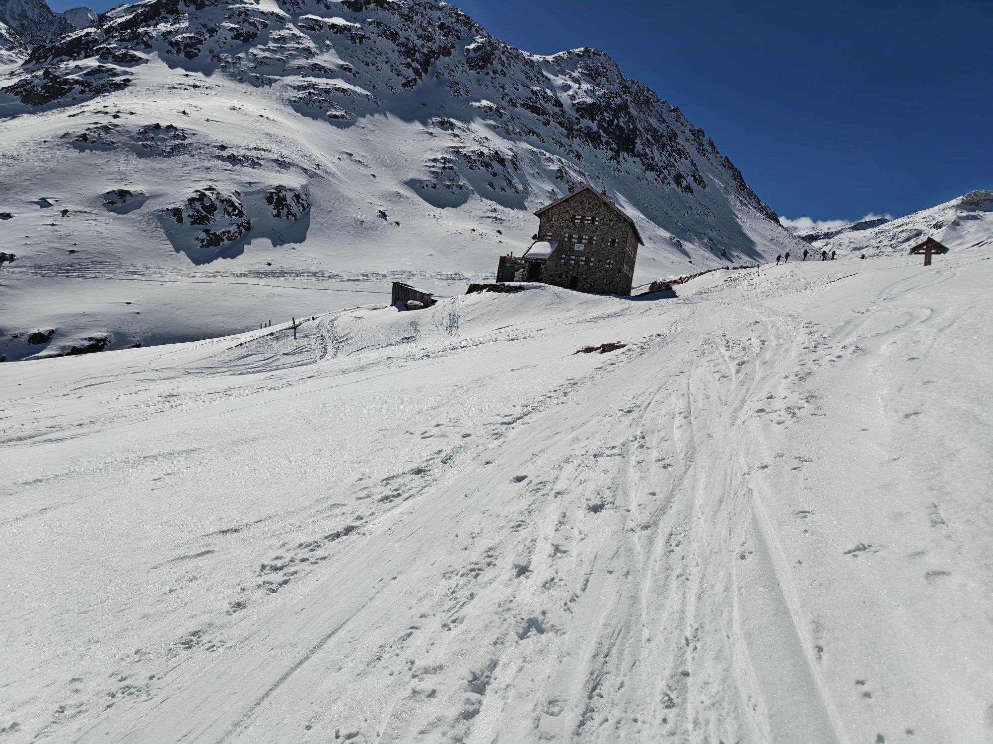
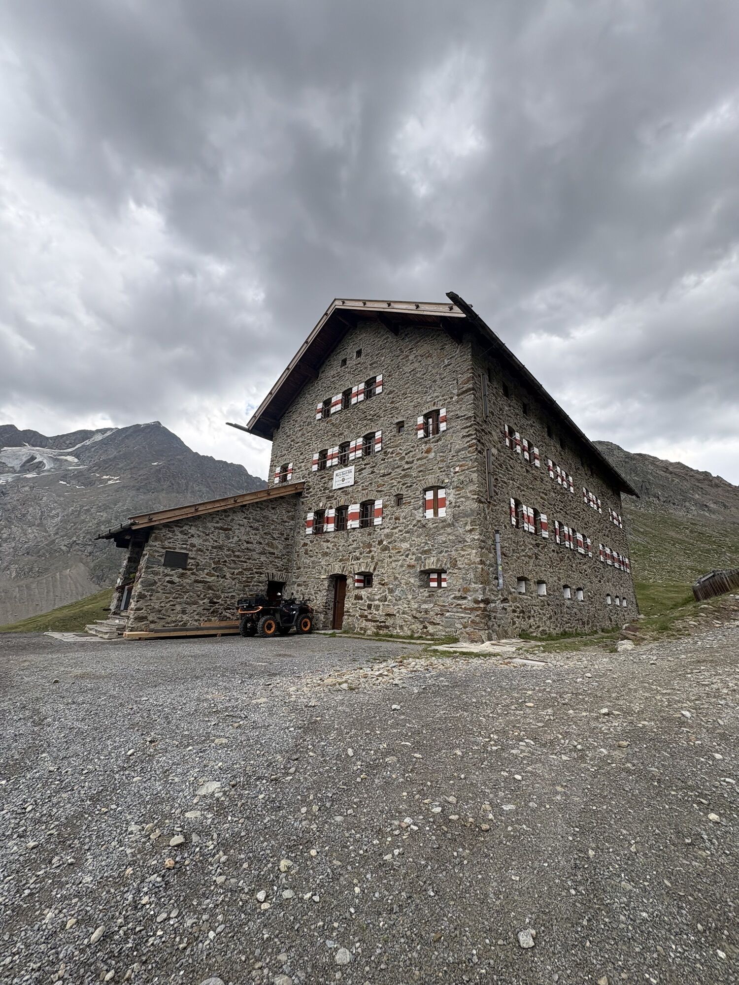
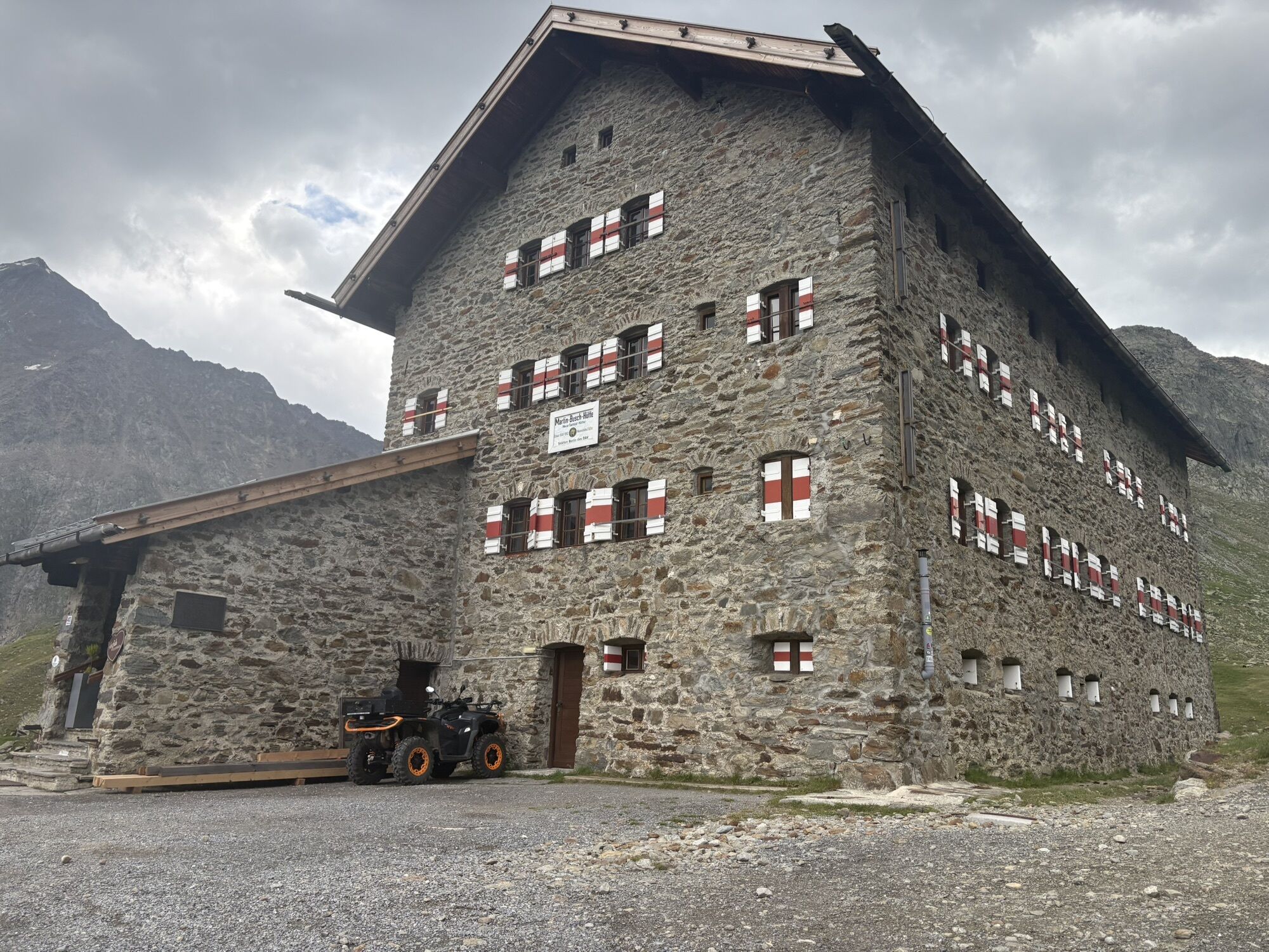
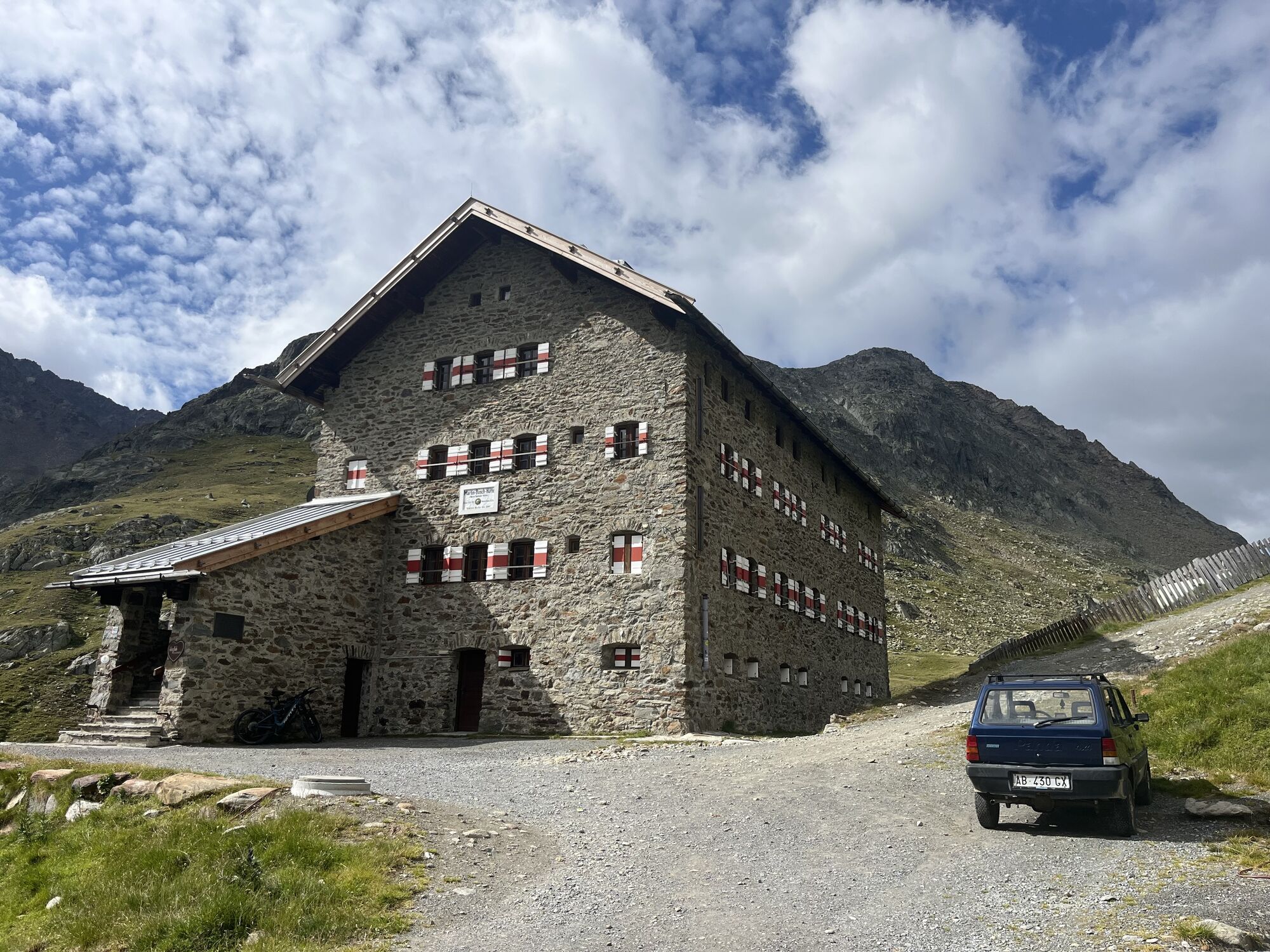
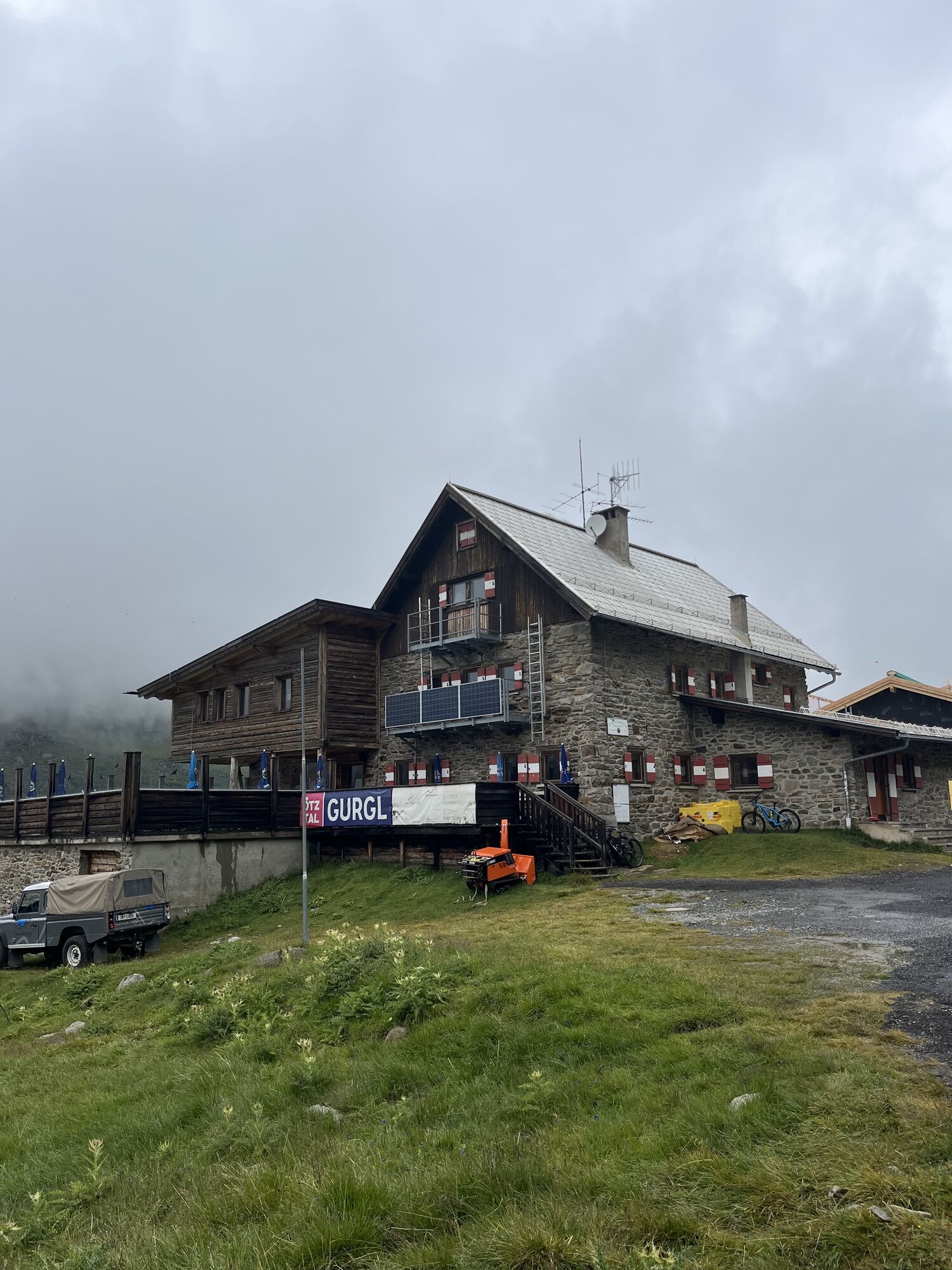
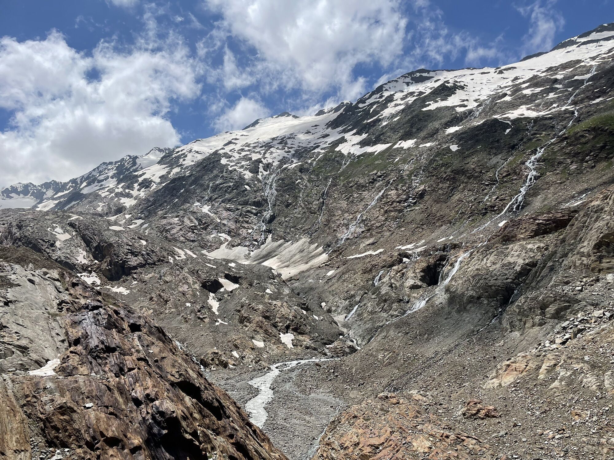
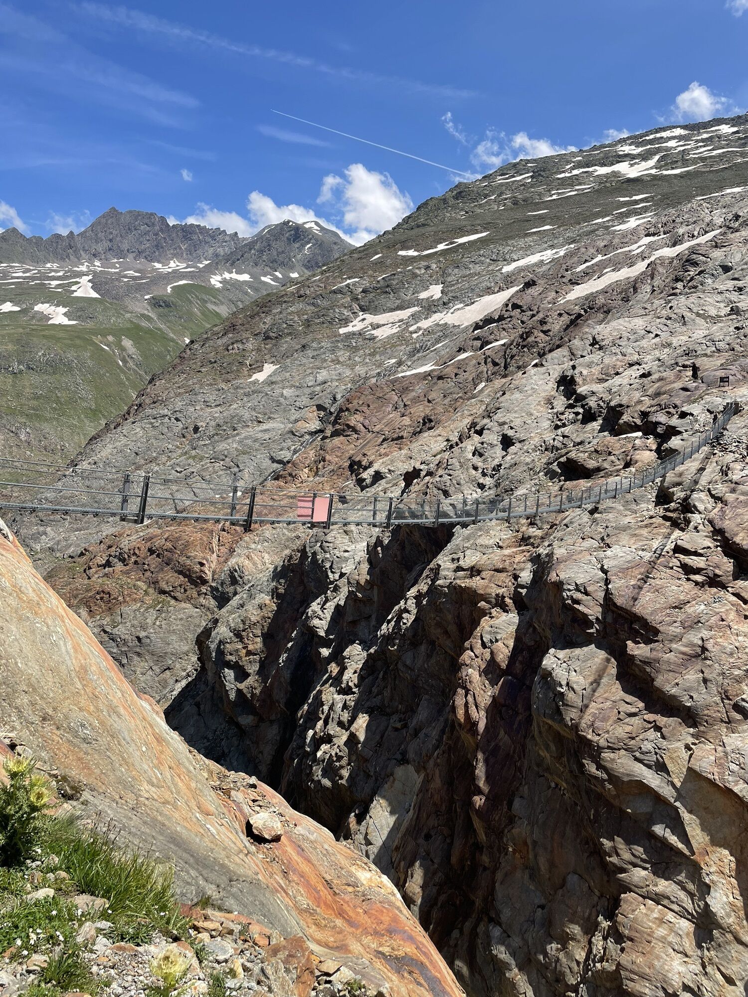
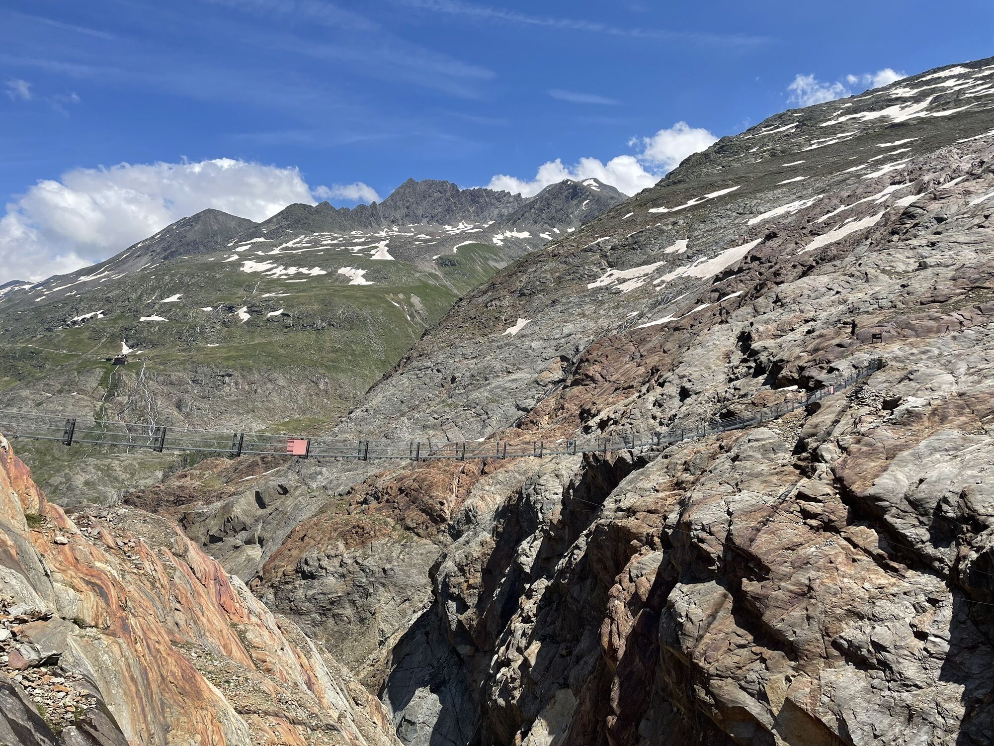
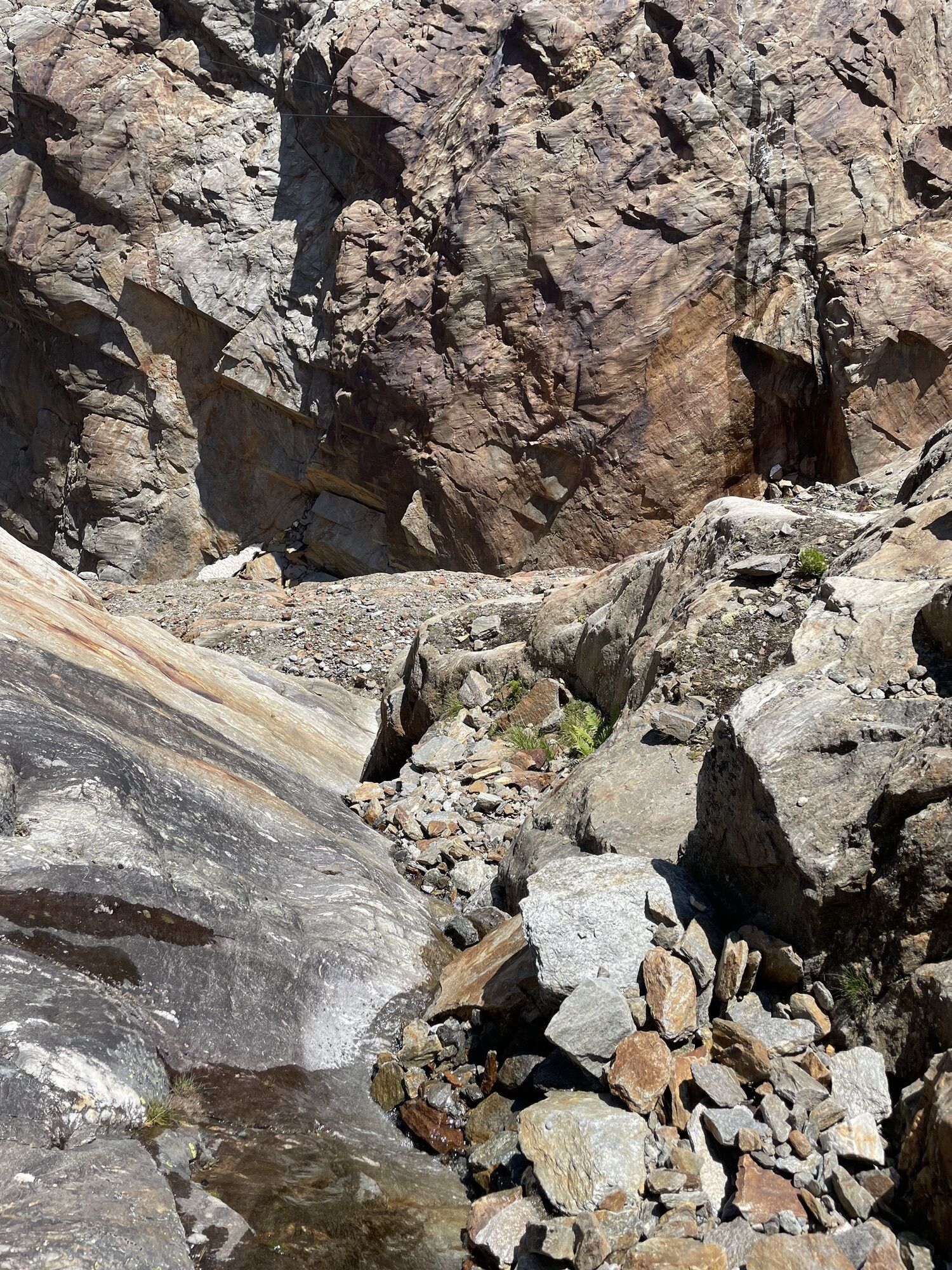


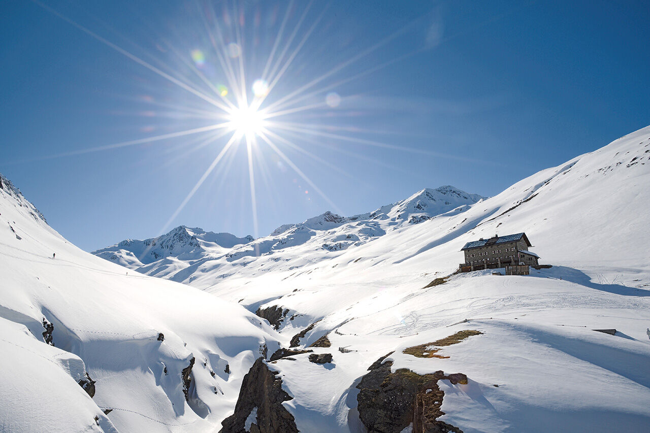
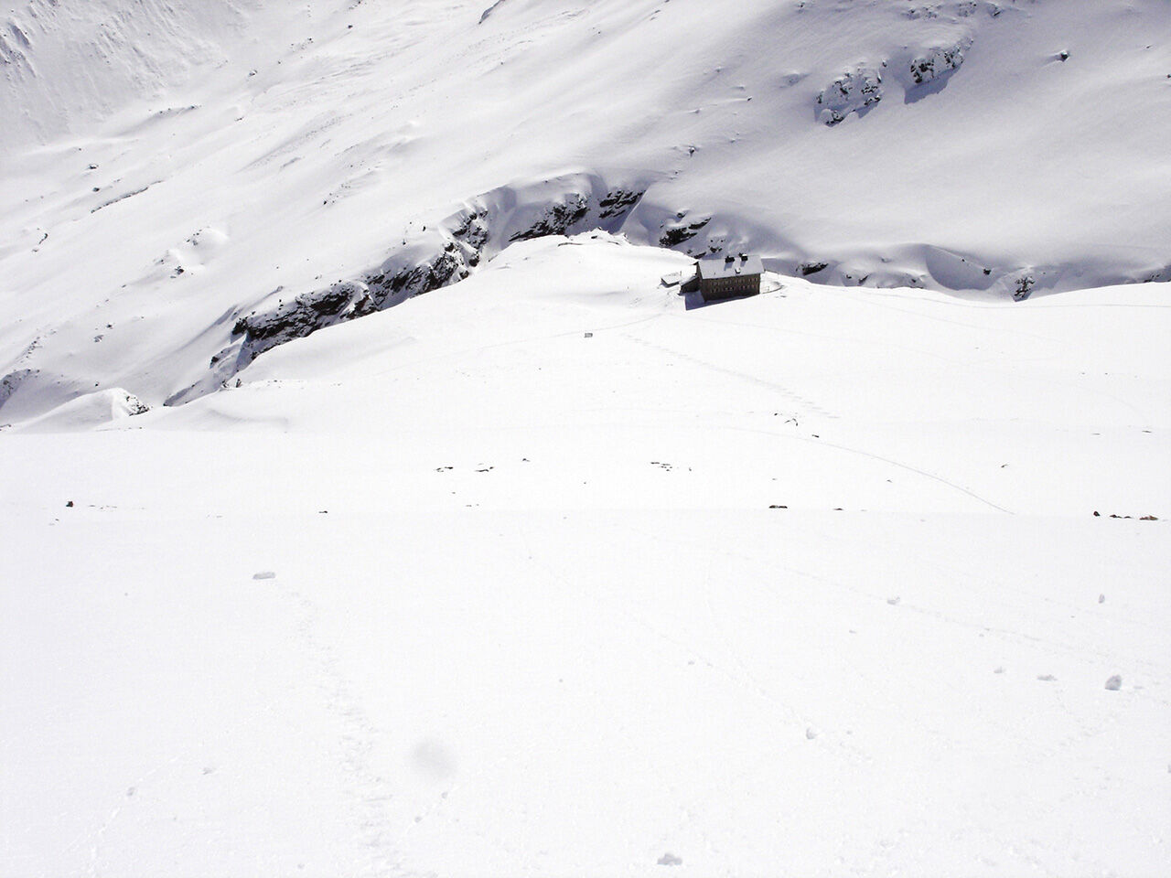
Start of Venter Ski Route: Entry from Vent through the Niedertal to the Martin-Busch-Hütte (2,501 m, 3 h)
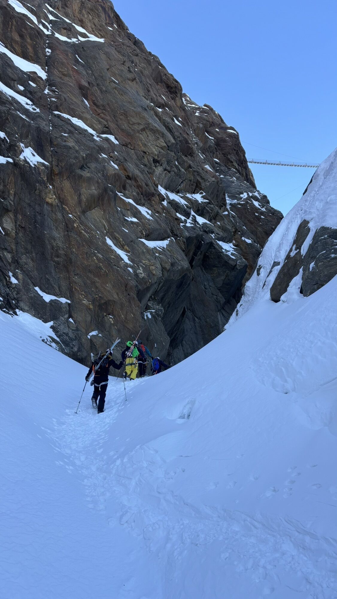
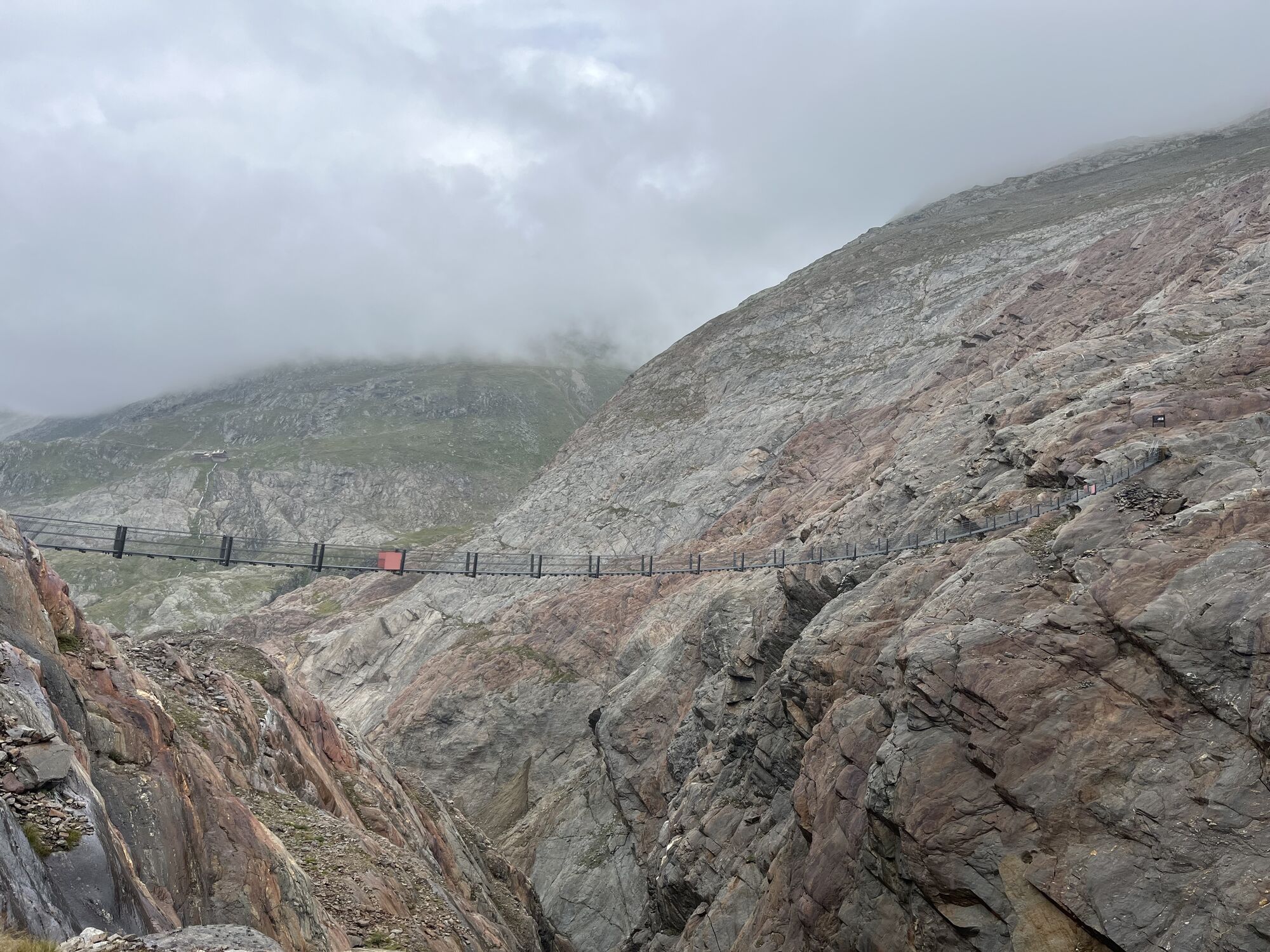
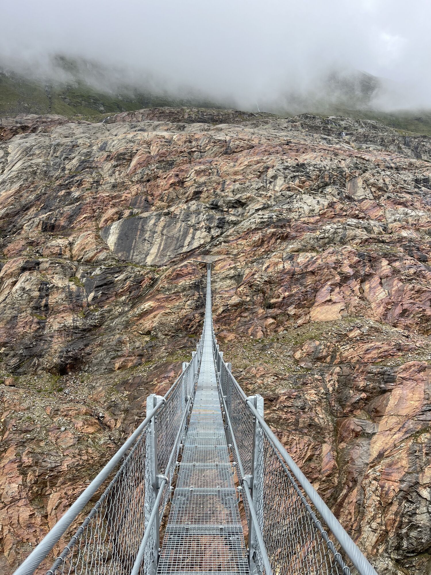
Ötztal Circuit: Descent to the Gurgler Gorge (2,200 m) -> Ascent over the Gurgler Ferner and the...
Start of Venter Ski Route: Entry from Vent through the Niedertal to the Martin-Busch-Hütte (2,501 m, 3 h)
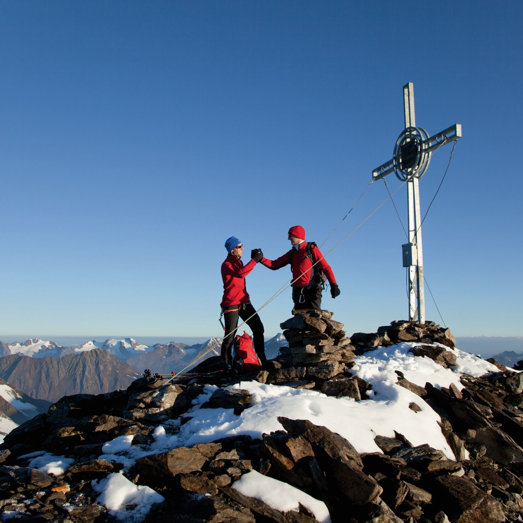
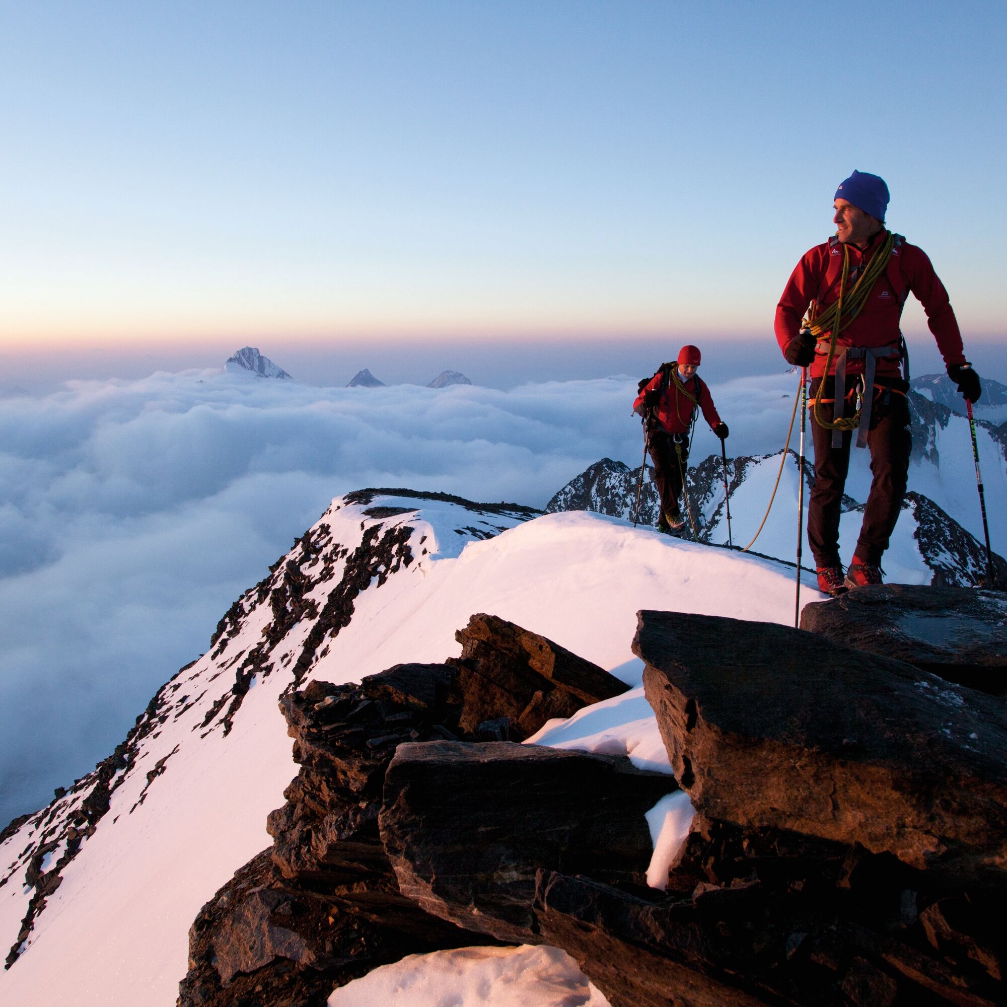
Ötztal Circuit: Descent to the Gurgler Gorge (2,200 m) -> Ascent over the Gurgler Ferner and the Kleinleitenferner to the Schalfjoch -> continue over the ridge to the Schalfkogl (3,537 m) -> Descent over the Schalfjoch to the northern Schalfferner into the Niedertal -> Martin-Busch-Hütte (2,501 m)


Start of Venter Ski Route: Entry from Vent through the Niedertal to the Martin-Busch-Hütte (2,501 m, 3 h)
Ötztal Circuit: Descent to the Gurgler Gorge (2,200 m) -> Ascent over the Gurgler Ferner and the Kleinleitenferner to the Schalfjoch -> continue over the ridge to the Schalfkogl (3,537 m) -> Descent over the Schalfjoch to the northern Schalfferner into the Niedertal -> Martin-Busch-Hütte (2,501 m)
ELEVATION DIFFERENCES: Ascent 1,400 m, descent 1,330 m, duration: 6 h
PEAKS: Hohe Wilde (3,465 m), Karles Spitze (3,465 m), Annakogl (3,336 m)
HUT TRANSFERS: Martin-Busch-Hütte (2,501 m), Hochwilde House (2,885 m – currently closed, winter room as a side hut)
Martin-Busch-Hütte (2,501 m, DAV)
Operated from early March to early May
Tel +43 (0) 5254 8130 or mobile +43 (0) 664 3043 151
www.hotel-vent.at
info@hotel-vent.at
Recommended ski touring equipment
The "normal ski touring equipment" consists of touring skis with touring bindings, telescopic poles, climbing skins, crampons, digital avalanche transceiver, avalanche shovel, avalanche probe, first aid kit and a mobile phone. A "complete glacier equipment" consists of a climbing harness, two prusik loops or ascenders of different lengths, two HMS carabiners, ice axe, crampons and a rope. A backpack with appropriate contents should also be carried, including spare clothing, sun protection, cold protection, food and enough to drink! For overnight stays in huts, don’t forget to bring hygiene articles and a hut sleeping bag!
DIFFICULTY RATING
Easy: easy, short to moderate length routes with ascents that do not exceed 25° or only briefly do so. Medium: medium difficulty, moderate to long routes with ascents that do not exceed 35° or only briefly do so. Hard: difficult, long to very long routes with ascents reaching 40° or more, and climbing sections up to grade II difficulty (UIAA).Avalanche danger scale
1 (LOW)
An avalanche release is only possible with heavy additional load on very few, extreme steep slopes. No spontaneous avalanches (so-called slides) are expected. Generally safe conditions.
2 (MODERATE)
An avalanche release with heavy additional load is likely especially on the specified steep slopes. Larger avalanches are not expected. The snow cover is generally well consolidated, except on some steep slopes. Careful route selection on the specified steep slopes and slope exposures.
3 (CONSIDERABLE)
An avalanche release is already likely with slight additional load, especially on the specified steep slopes. Occasionally, some medium and occasionally large avalanches are possible spontaneously. The snow cover on many steep slopes is only moderately to weakly consolidated. Experience in avalanche assessment is necessary. Avoid the specified steep slopes and slope exposures as much as possible.
4 (HIGH)
An avalanche release is already possible with slight additional load, especially on the specified steep slopes. Occasionally, many medium and several large avalanches occur. On many steep slopes, the snow cover is only weakly consolidated. For route choice, restrict to moderately steep terrain and observe avalanche runout areas. Much experience in avalanche assessment is necessary.
5 (VERY HIGH)
Numerous large avalanches, including in moderately steep terrain, can occur spontaneously. At this warning level, no safe operation is possible in ski areas. The snow cover is generally weakly consolidated and unstable. Avoid tours is recommended.
See also at lawine.tirol.gv.at
Obergurgl-Hochgurgl is located in western Austria in the state of TYROL, in a southern side valley of the Inn Valley – the ÖTZTAL. For your trip by car, plan the optimal route from your home location online with the route planner right away: https://www.google.at/maps
Travel comfortably and safely by train to the Ötztal train station. The final stop or exit point is ÖTZTAL station. Afterwards, travel conveniently and quickly with public transport or local taxi companies through the entire valley to your desired destination! The current bus schedule is available at: http://fahrplan.vvt.at
The following parking options are available in Obergurgl-Hochgurgl:
- Parking lot village center Obergurgl (down right before the church, behind the multipurpose building where the information office is located), parking meter with coin insertion
- Parking lot village entrance – Festkoglbahn valley station, free of charge – no overnight parking
- Parking lot Hochgurglbahn valley station, free of charge – no overnight parking
- Parking lot Top Mountain Crosspoint, free of charge
- Parking lot Hochgurgl, free of charge (very small parking lot)
In the mountaineering village Vent, the following parking options are available:
- In summer in front of the village (parking meter, only coins or EC card) and at the valley station of the chairlift (at the cable car ticket office)
- In winter only at the valley station of the chairlift
Cost: € 6.00 per day/car
Ski touring rules
Observe the applicable regulations in all activities in nature and in route selection (e.g. wildlife protection areas, hunting restricted zones, reforestation areas, information boards, etc.) Respect quiet zones for wildlife and avoid feeding points and loud noise Cross forest areas in winter only on designated paths and routes, animals react very panically to unlocalizable noise. Recognize the habitats of wildlife, avoid animals as much as possible. Observe wildlife only from a distance. Dogs must be kept on a leash, it is absolutely irresponsible to let dogs run free in the winter distress period in the forest. Proper time planning: start early enough and return before darkness. In spring, one should be back at the hut by noon (avalanche danger) Never drive through reforestations and young growth areas.Ötztal tourism assumes no liability for the listed routes and recommends the use of a mountain guide. Glacier crossings are only possible with a rope and in a group.
Before starting a tour, inform the valley of your destination and estimated return time. The use of an avalanche transceiver is strongly recommended.
More information about ski touring in the Ötztal: https://www.oetztal.com/skitouren
A reservation of rooms or dormitories is strongly recommended!
Pridobite vpogled
Vedno v živo na mestu z več kot 9.500 spletnimi kamerami. bergfex Kot uporabnik Pro si lahko zdaj ogledate ustrezne spletne kamere za številne izlete v aplikaciji izleti iz. Tako si lahko neposredno ogledate trenutne razmere.
Priljubljeni izleti v okolici
-
4.7
Vent - Kreuzspitze
Pohodništvo 20.6 km -
4.2
Vorderkaser - Eishof / Texelgruppe
svetlobaPohodništvo 4.83 km -
4.6
Leiter Alm mountain hut – Hochganghaus refuge - Gamplweg trail – Velloi
srednjaPohodništvo 9.77 km -
4.5
Vent - Wilder Mann - Breslauer Hütte - Stableinalm
srednjaPohodništvo 7.25 km -
4.7
Naturns Unterstellbahn bis Texelbahn auf dem Meraner Höhenweg
srednjaPohodništvo 9.77 km -
4.8
Kurzras - Schöne Aussicht - ins hintere Eis
srednjaPohodništvo 13.0 km -
4.3
Rundweg Vernagter See plus Einkehr Finailhof
srednjaPohodništvo 8.73 km -
3.8
Breslauer Hut
srednjaPohodništvo 4.75 km -
4.4
Hochtour Wildspitze, 3.768m
srednjaVisokogorska tura 9.75 km -
4.1
Vernagt-Stausee (Seerundgang)
svetlobaPohodništvo 6.70 km
Pohodništvo in sledenje


Ne zamudite ponudb in navdiha za naslednje počitnice
Vaš e-poštni naslov je bil dodan na poštni seznam.





