


Gaichtpass Tour
Stopnja težavnosti: 3
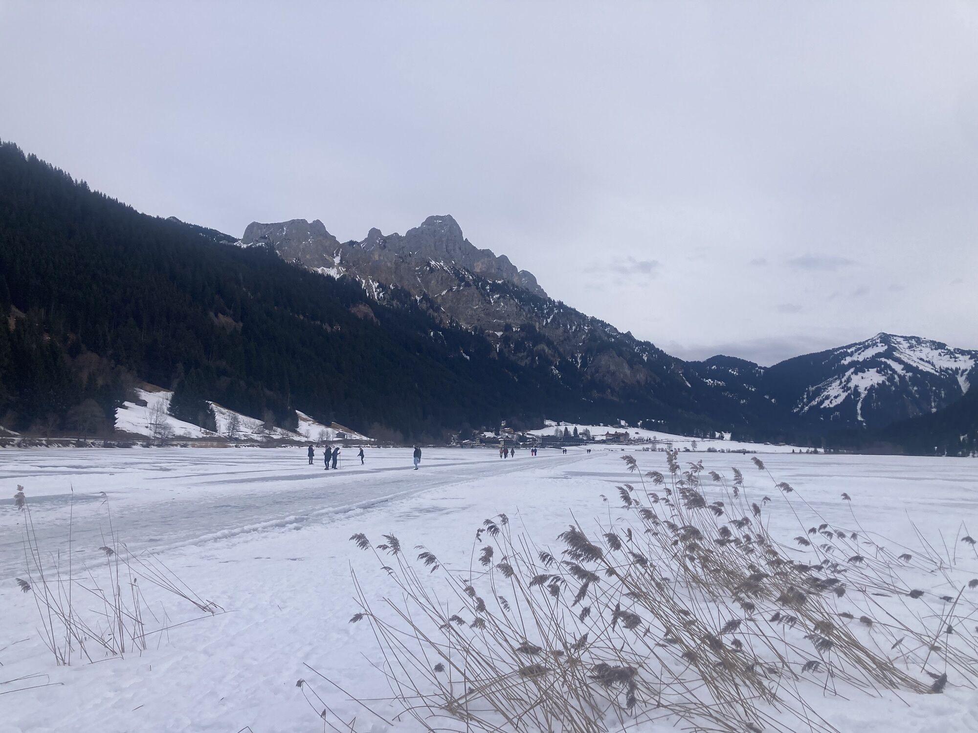
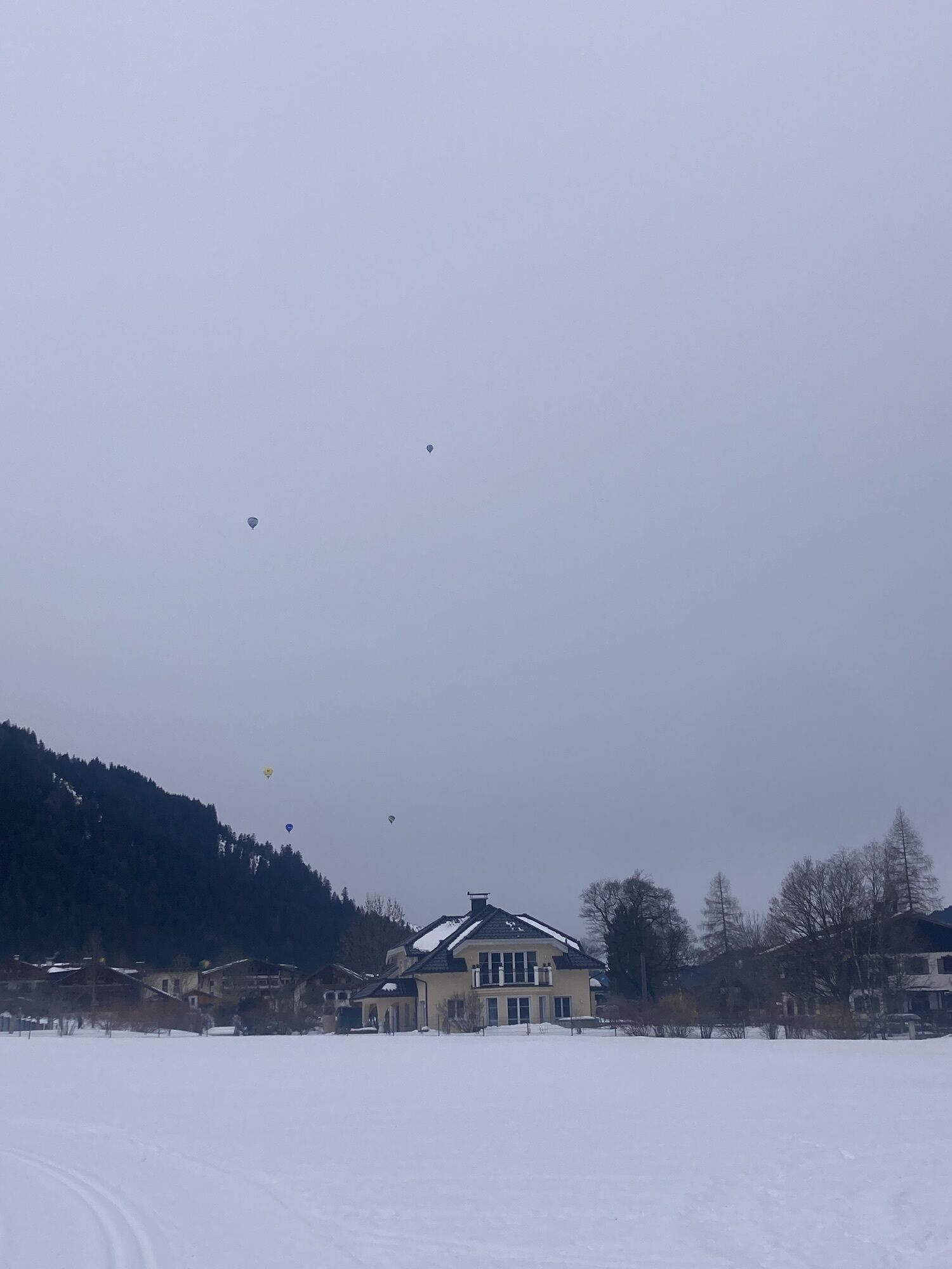
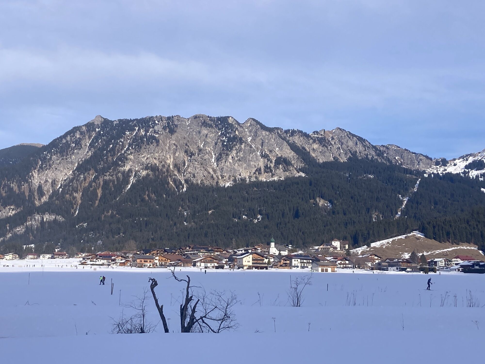
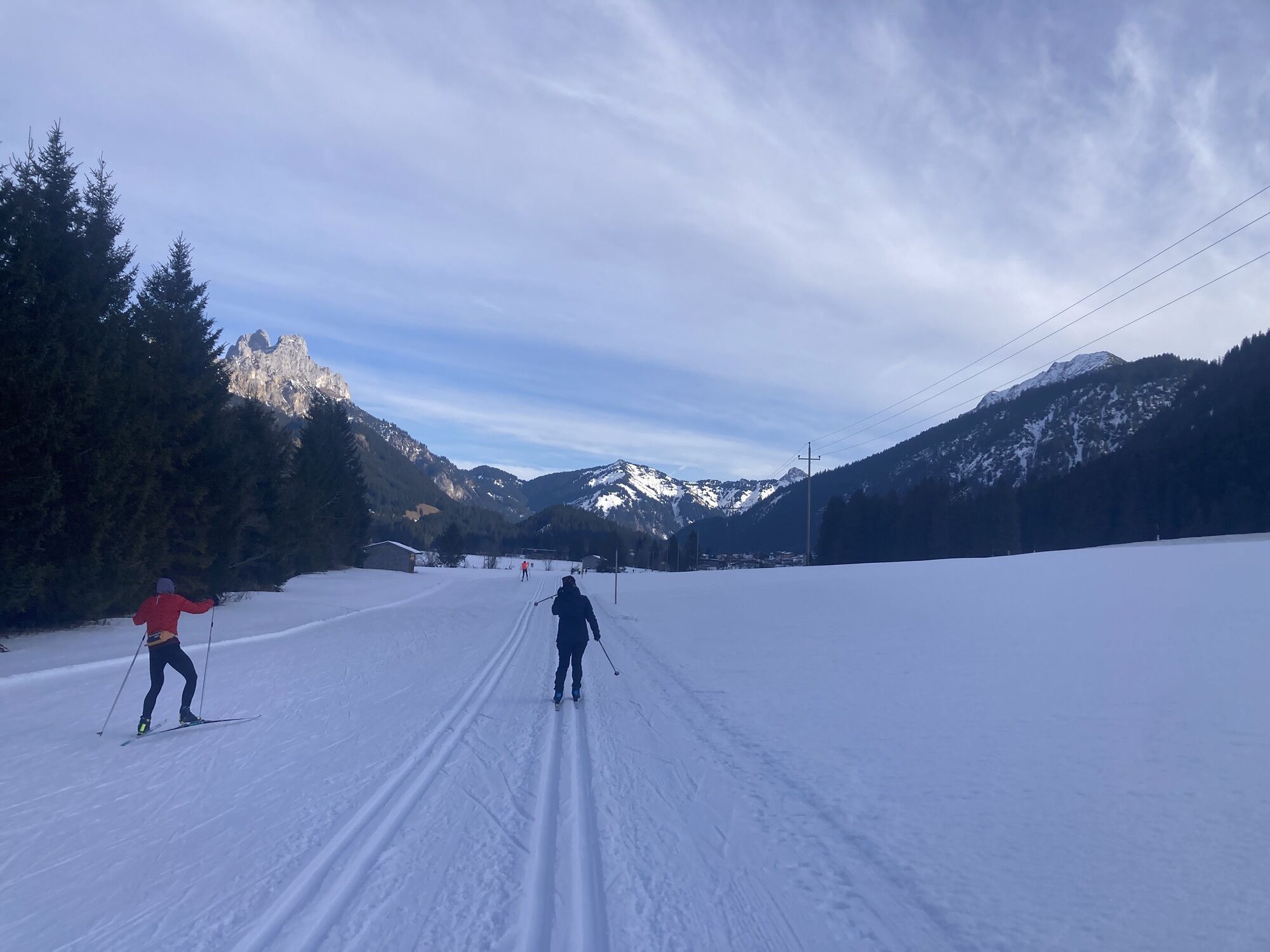
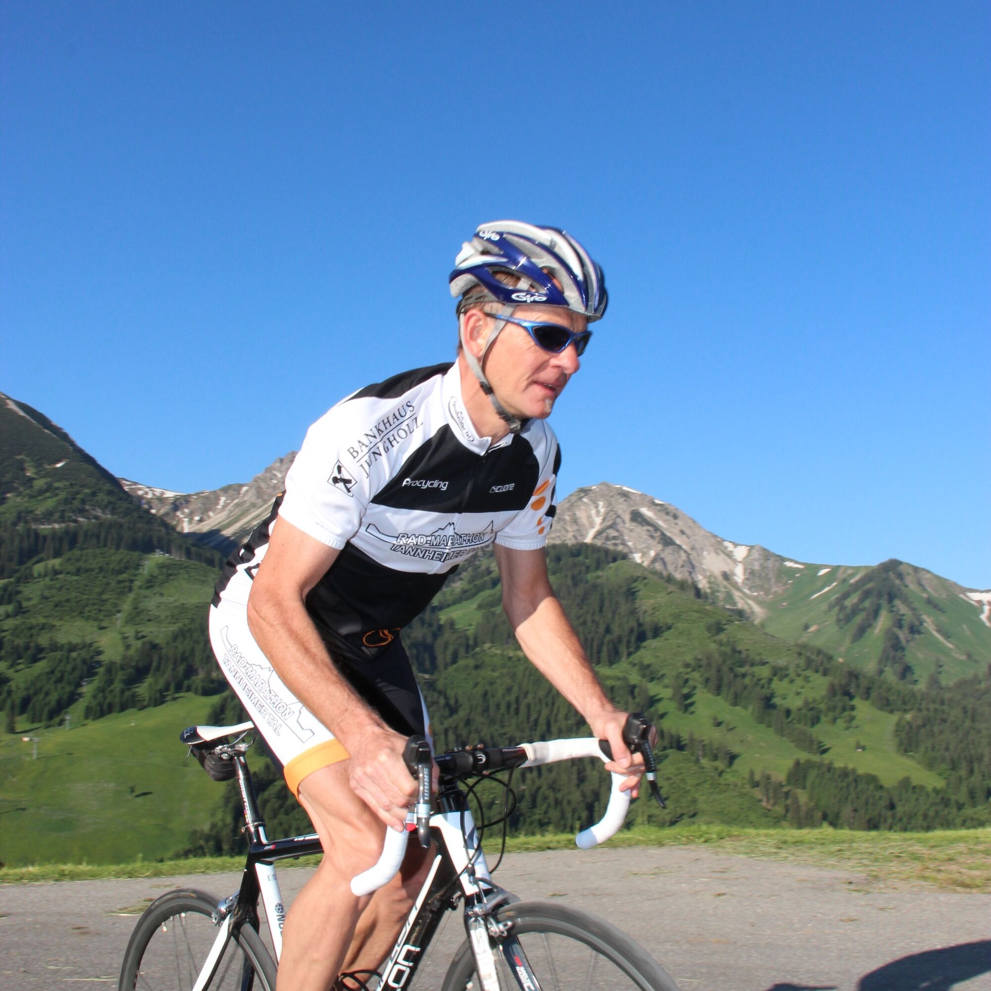
Fotografije naših uporabnikov
-

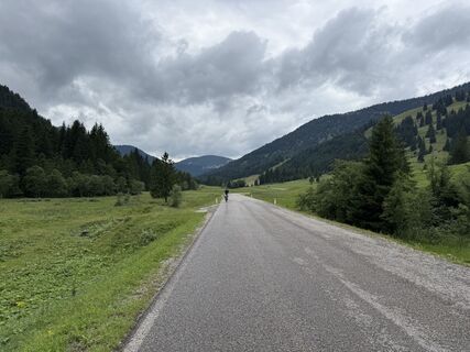
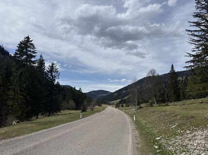
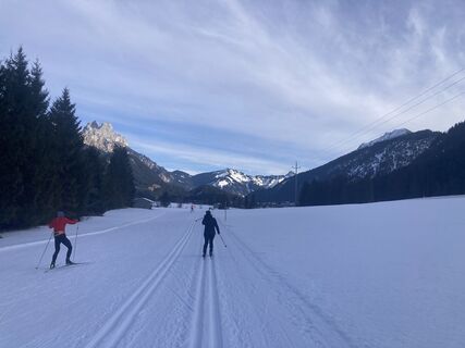
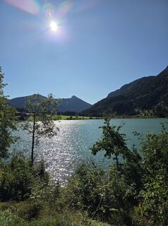
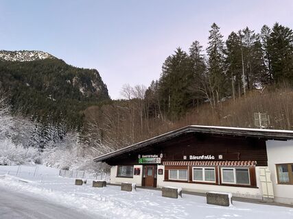
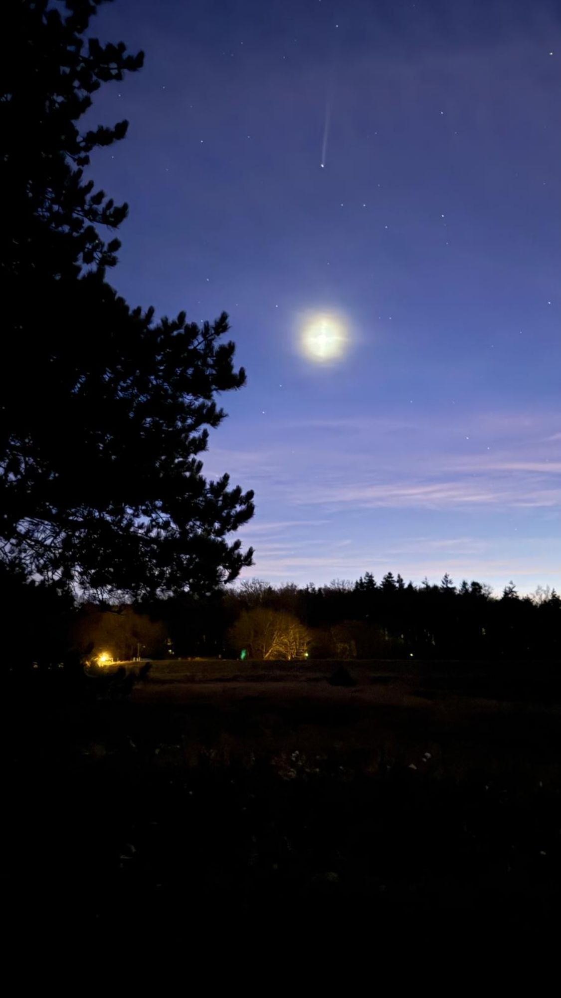
 © M KremsiUstvarjeno na 29.09.2025
 -
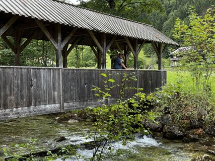
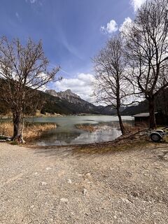
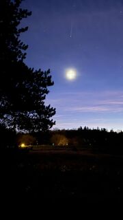
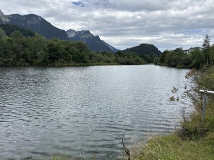
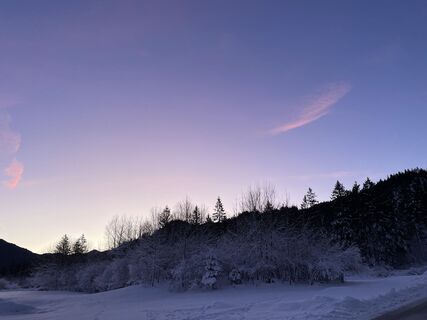
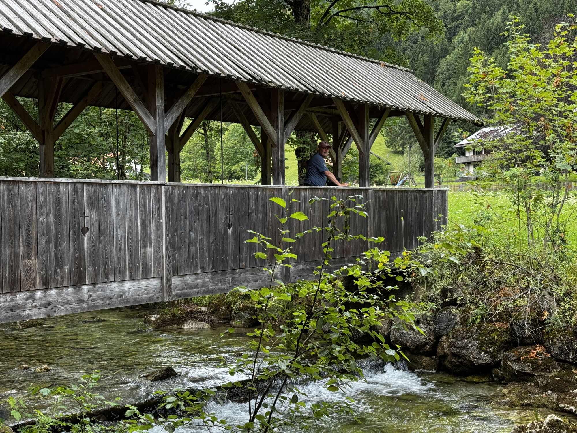
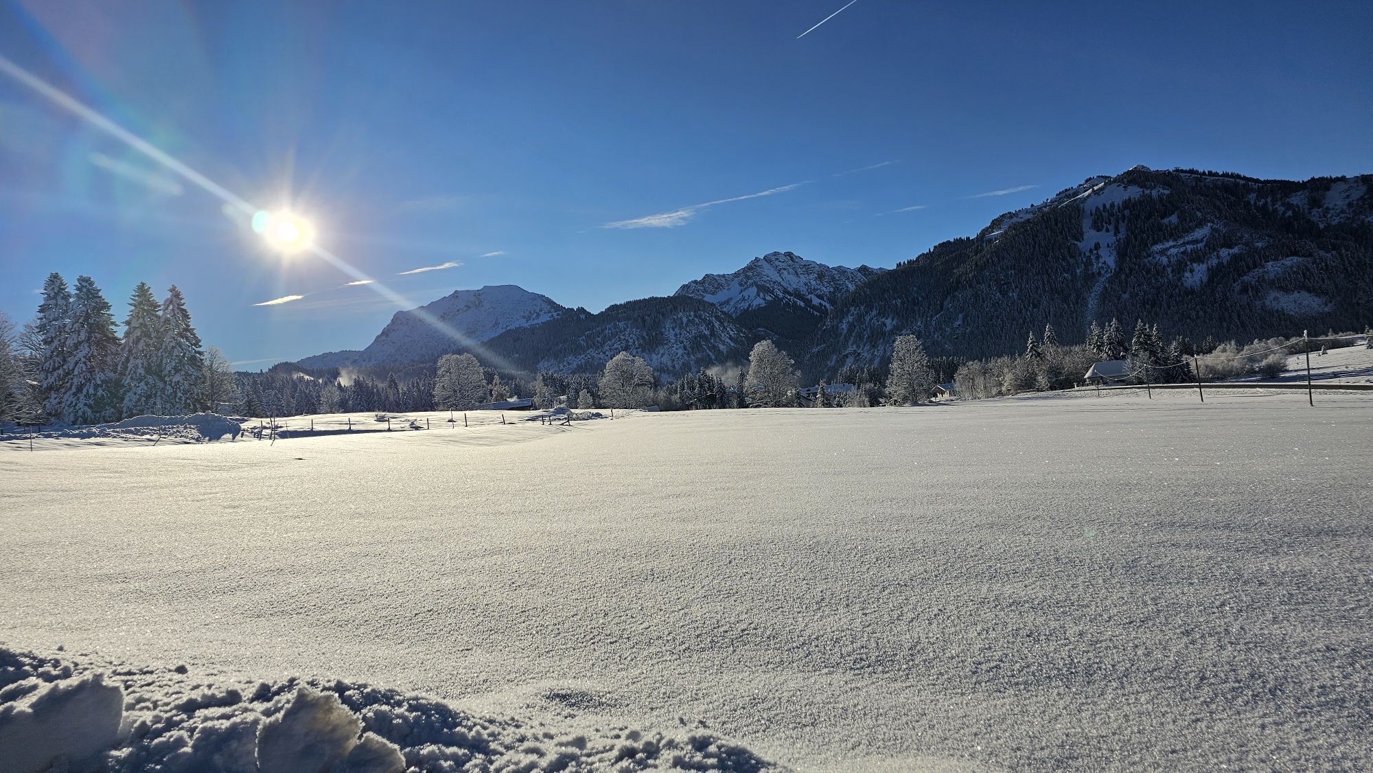
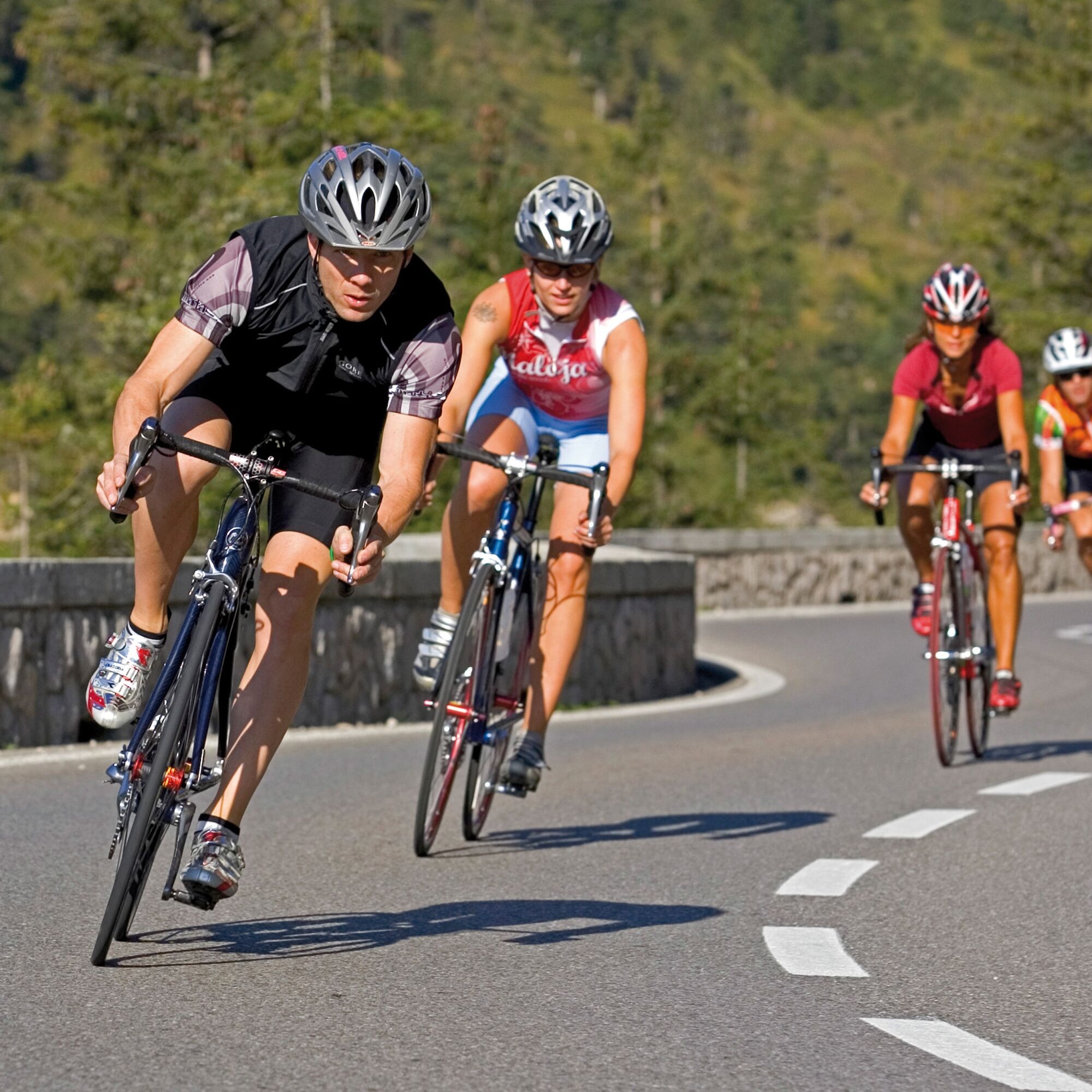
 © Han en Christa JordaanUstvarjeno na 15.07.2025
 -
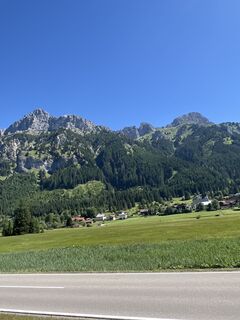
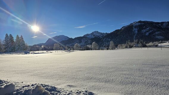
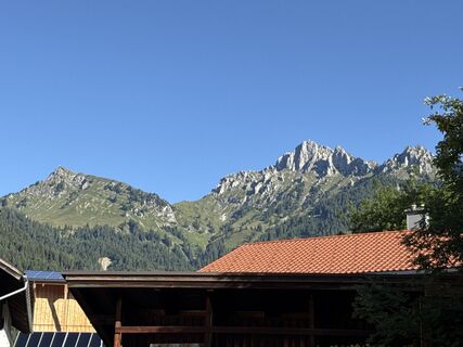
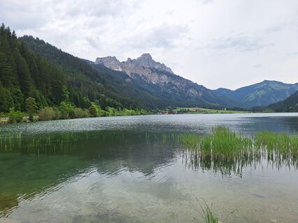
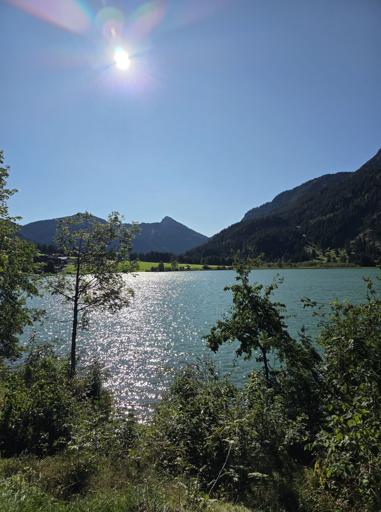
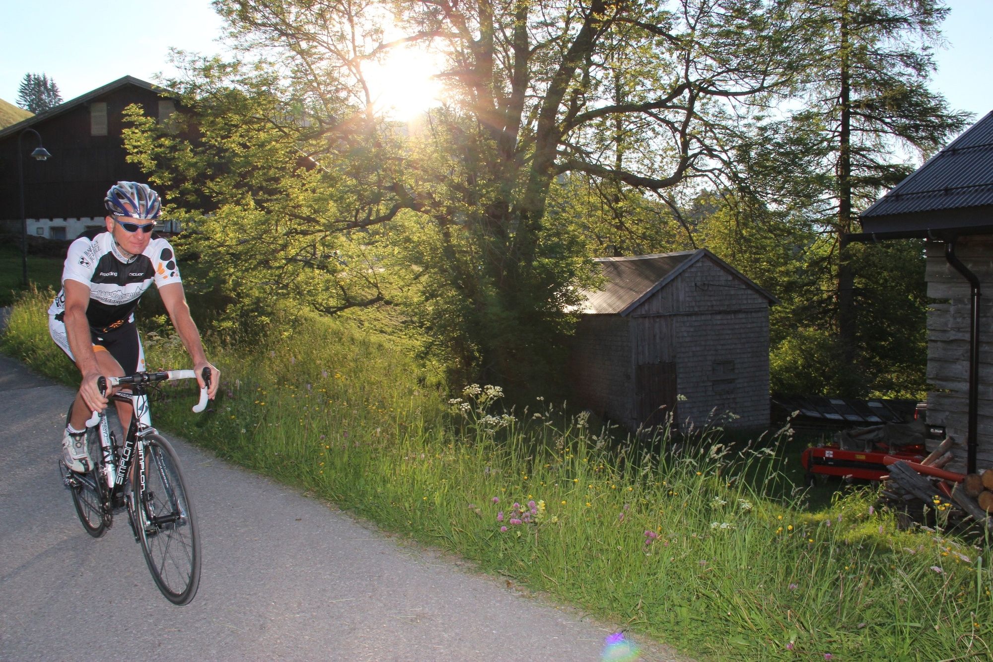
 © Han en Christa JordaanUstvarjeno na 15.07.2025
 -
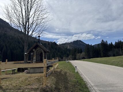
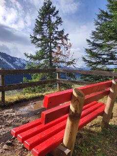
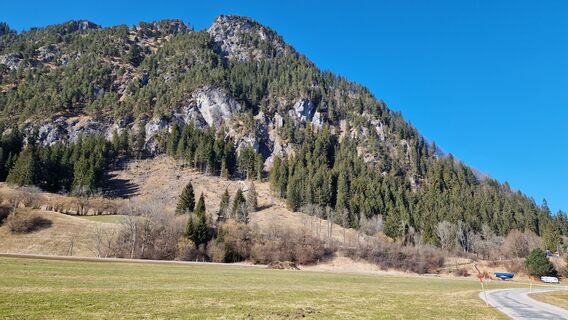
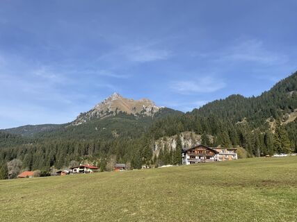
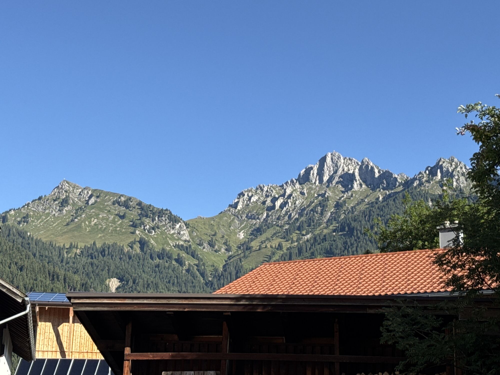
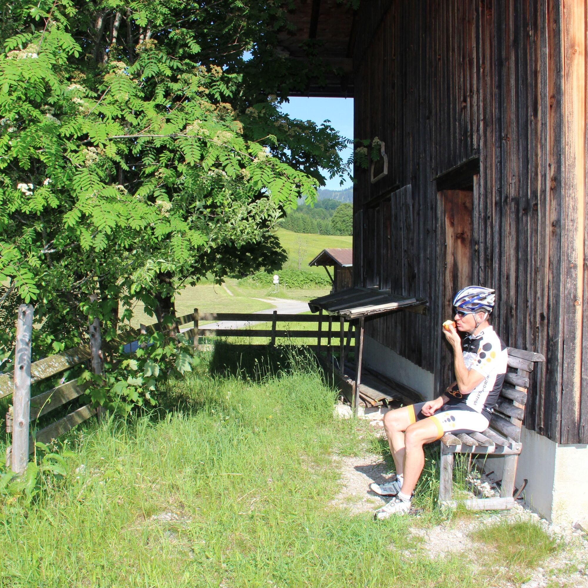
 © Han en Christa JordaanUstvarjeno na 15.07.2025
 -
 © Han en Christa JordaanUstvarjeno na 15.07.2025
 -
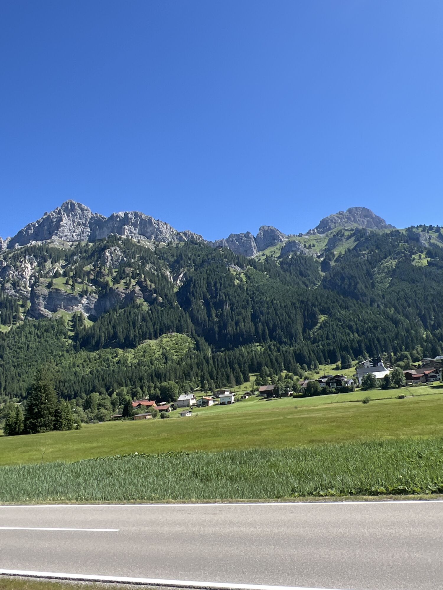
 © Eduard SteinlechnerUstvarjeno na 29.06.2025
 -
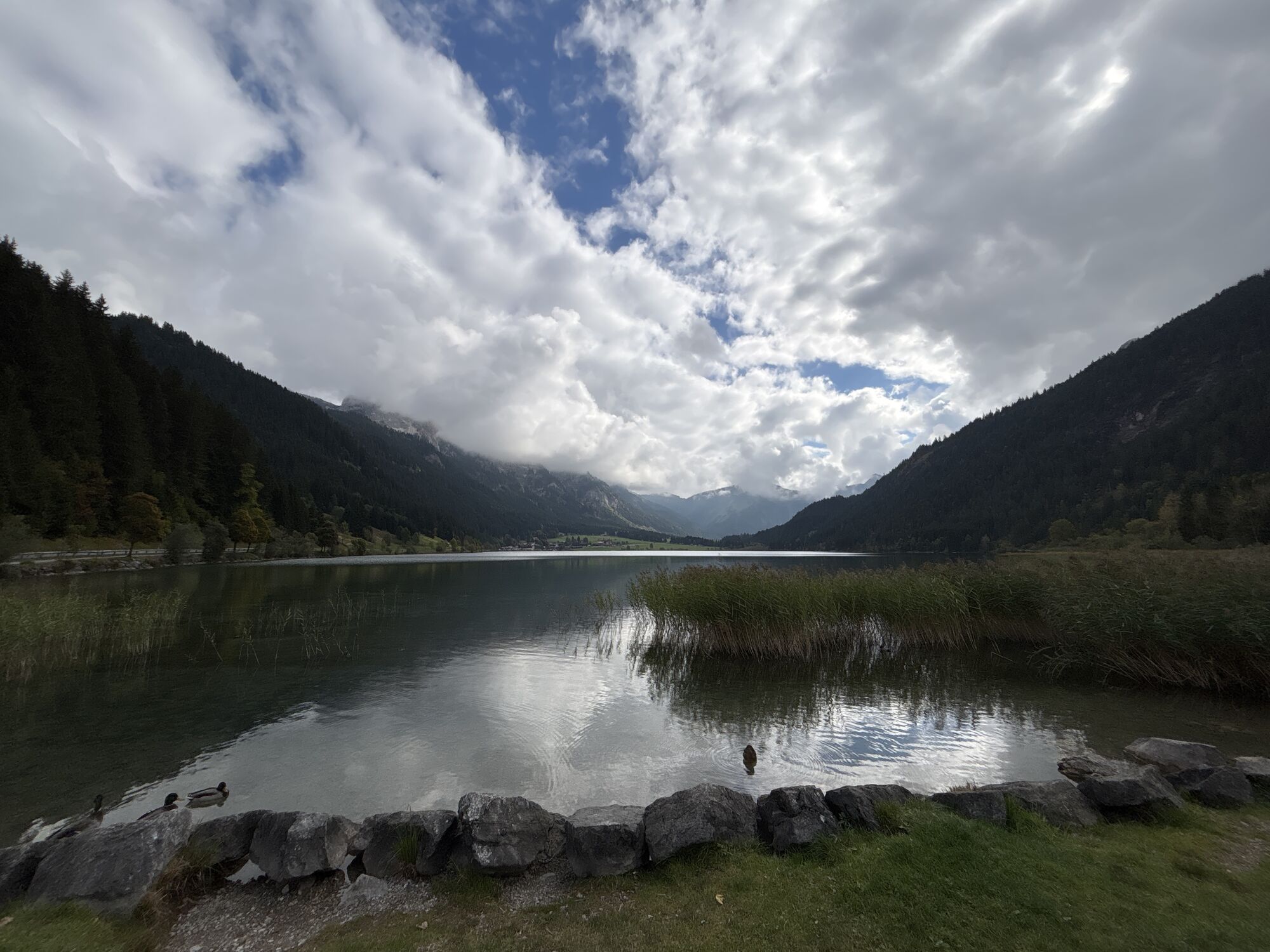
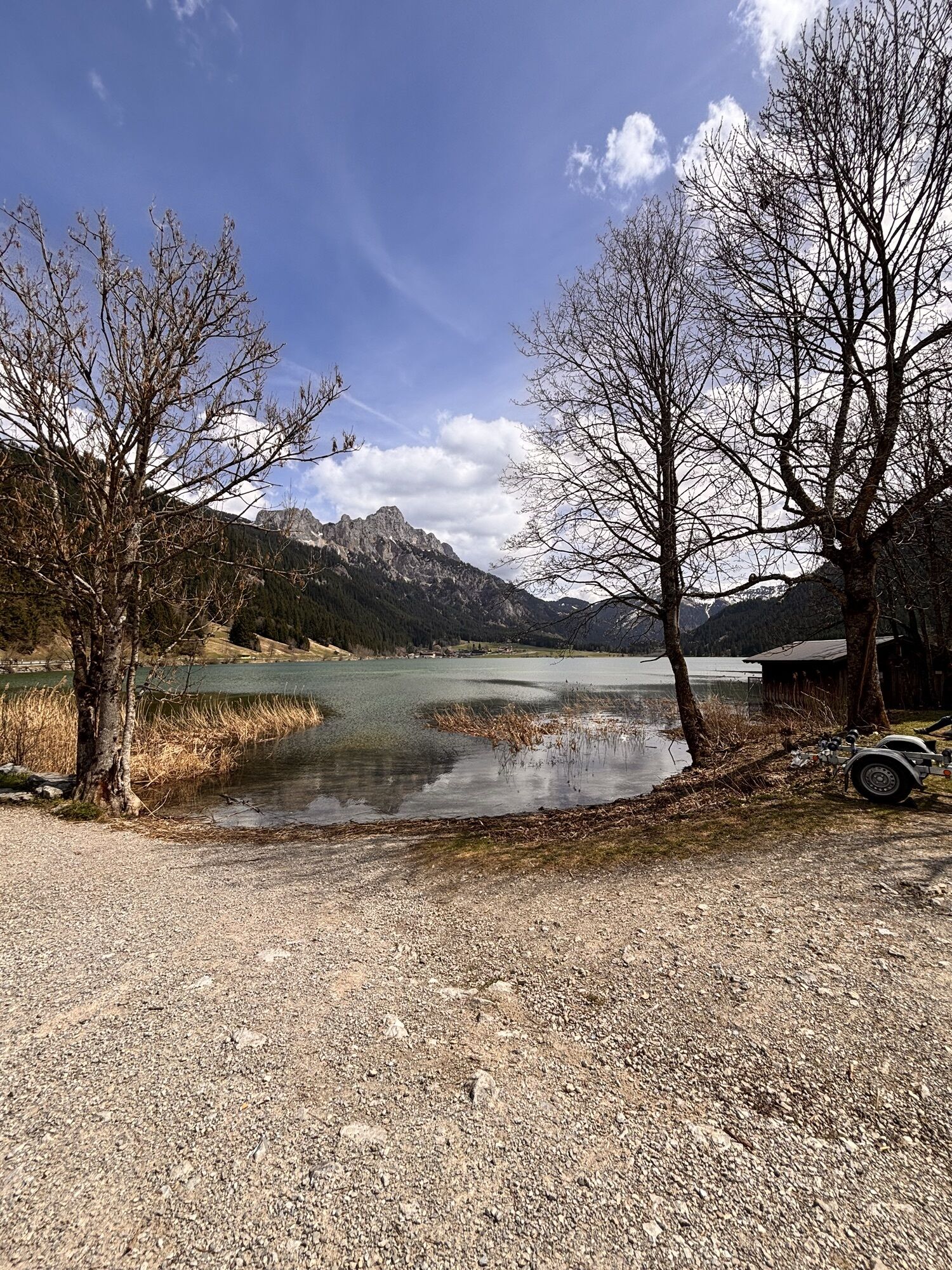
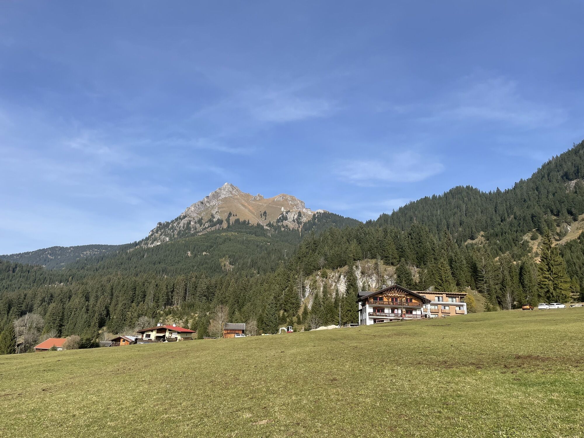
 © SimilaunUstvarjeno na 16.04.2025
 -
 © SimilaunUstvarjeno na 16.04.2025
 -
 © Alexis SauterUstvarjeno na 18.04.2026
 -

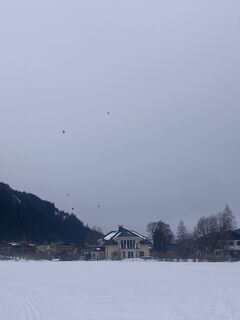
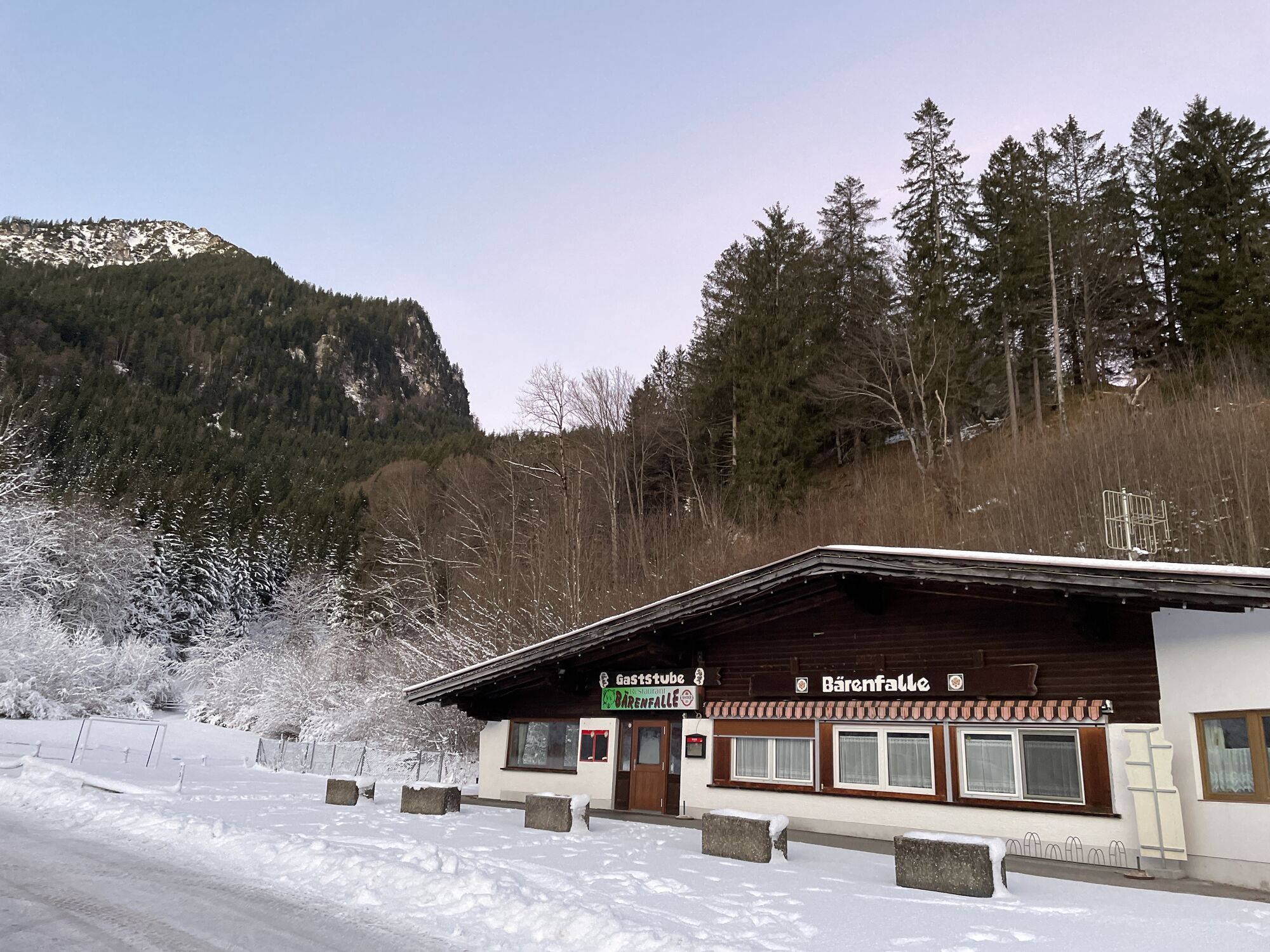
 © Helmut ScheurerUstvarjeno na 25.01.2026
 -
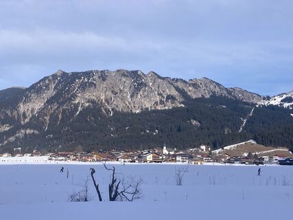
 © Helmut ScheurerUstvarjeno na 25.01.2026
 -
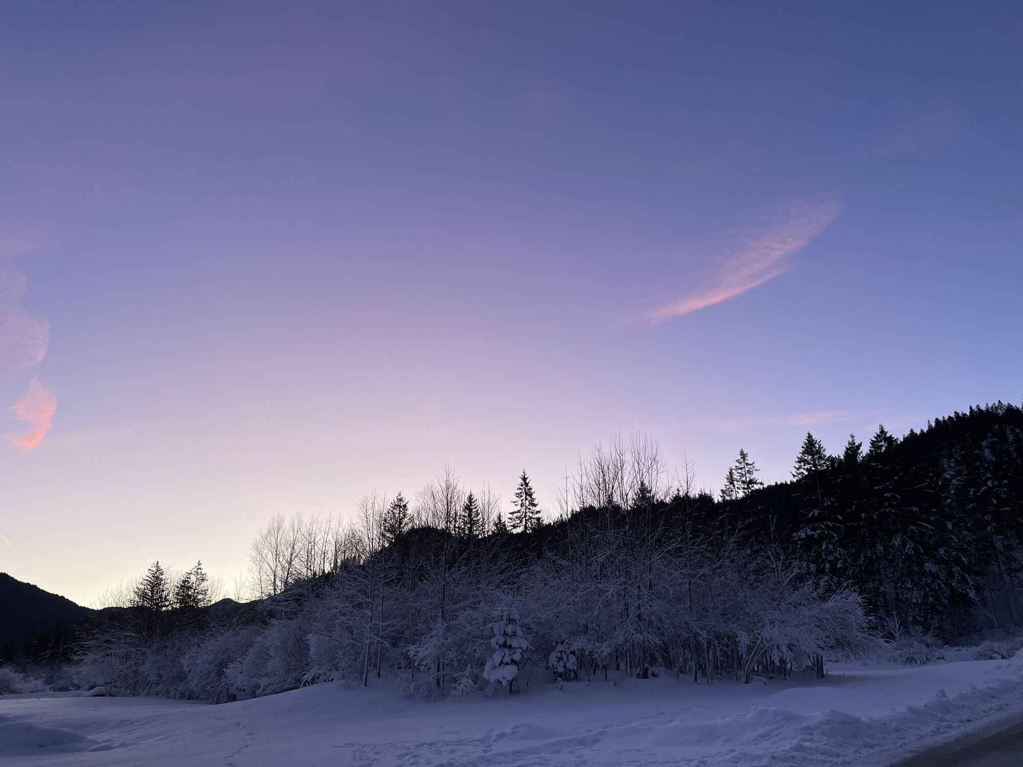
 © Helmut ScheurerUstvarjeno na 24.01.2026
 -
 © Helmut ScheurerUstvarjeno na 24.01.2026
 -
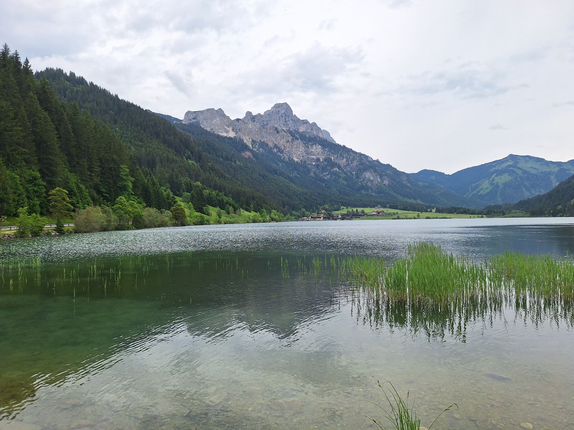
 © Erhard JaudUstvarjeno na 26.12.2025
 -
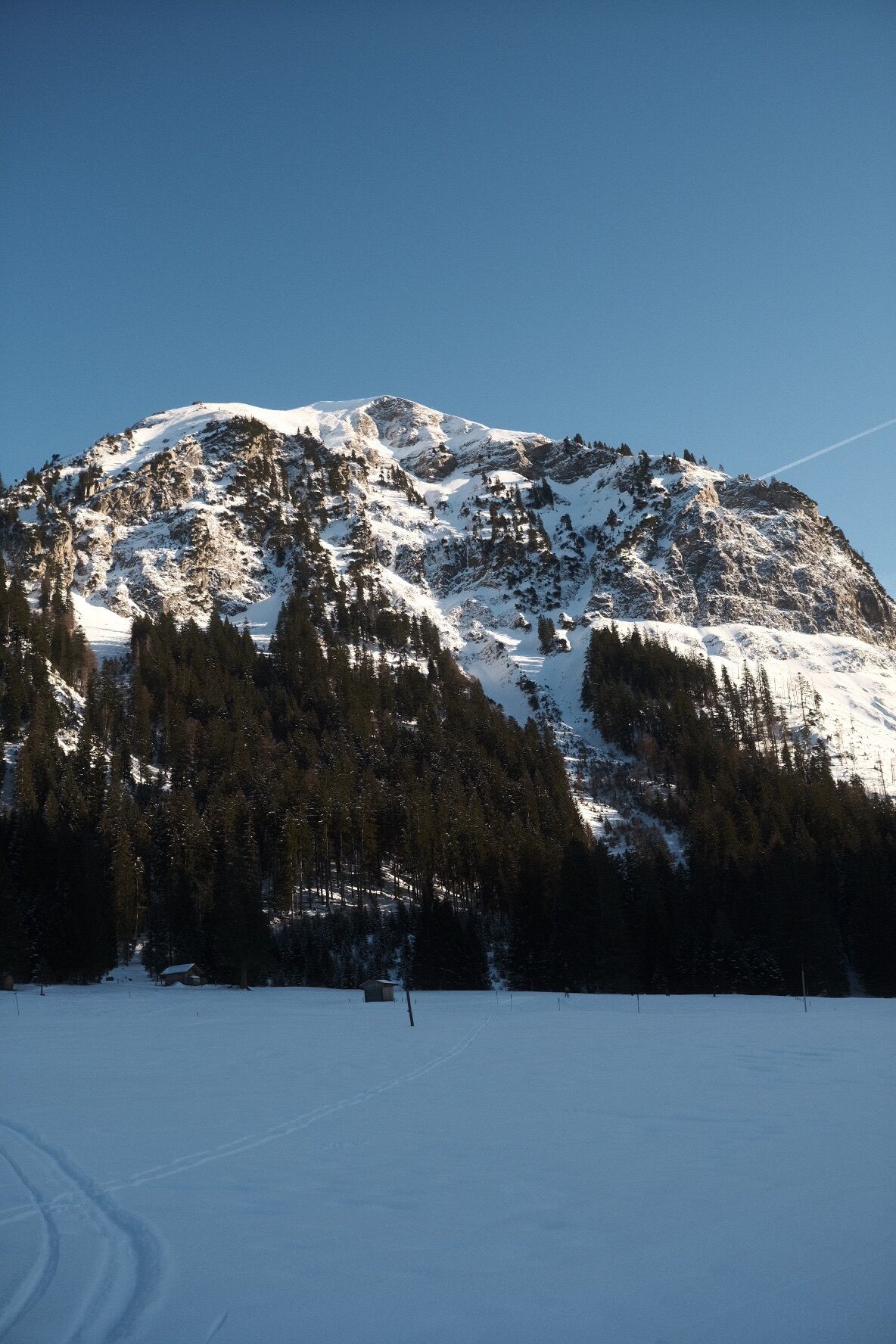
 © Christof RohrmoserUstvarjeno na 28.11.2025
 -
 © BairebikeUstvarjeno na 26.10.2025
 -
 © Rainer KieningUstvarjeno na 06.09.2025
 -
 © GrizzliUstvarjeno na 05.08.2025
 -
 © GrizzliUstvarjeno na 05.08.2025
 -
 © Ralf ZehendnerUstvarjeno na 06.03.2025
 -
 © Andre TatterUstvarjeno na 01.01.2025
 -
 © Andre TatterUstvarjeno na 01.01.2025
 -
 © KatharinaUstvarjeno na 08.06.2024
 -

 © Lukasz KusUstvarjeno na 10.02.2023
 -
 © Ralf UmmingerUstvarjeno na 29.10.2022


Start at the Tourism Information Office in Tannheim towards the East. At the intersection Grän/Haldensee turn left on to the Road L261 through the Engetal (valley) downhill to Pfronten to the main street....
Start at the Tourism Information Office in Tannheim towards the East. At the intersection Grän/Haldensee turn left on to the Road L261 through the Engetal (valley) downhill to Pfronten to the main street. Turn right and follow the signs to Vils/Reutte. Continue on to the Ulrichsbrücke (bridge) and turn right prior to crossing the train crossing, and ride on the road via Musau, Pflach to Reutte. Continue on the road to the train station. At the traffic circle, take the first exit right, and at the second traffic circle head straight on. At the main traffic circle in Reutte continue straight to the Lech Valley, through Lechaschau and Höfen to Weissenbach. At the traffic circle, turn right into the Tannheim Valley and back to the starting point.


Start at the tourist information office in Tannheim heading east. Turn left at the crossroads towards Grän and continue through the Engetal valley down to Pfronten until you reach the main road. Turn right and follow the signs for Vils/Reutte. Continue to the Ulrichsbrücke bridge and turn right before the level crossing and follow the road via Musau, Pflach to Reutte. Follow the road to the left towards the train station. At the traffic circle, take the first exit on the right, go straight on at the next traffic circle. At the main traffic circle go straight on again towards Lechtal, continue through Lechaschau and Höfen to Weissenbach. At the traffic circle turn right into the Tannheimer Tal and back to the starting point.
Every participant rides at his/her own risk.
Traffic regulations (StVO) must be adhered to at all times.
The quickest and easiest and toll-free route to the Tannheim Valley by car leads via the A7 highway. Turn off at Exit "Oy-Mittelberg", turn right and follow the signs along state road B 310 heading toward Wertach/Oberjoch for ca. 15 kilometers. In Oberjoch turn left into the Tannheim Valley.
Train stations in Germany are: Sonthofen (24 km, bus transfer) Pfronten/Ried (16 km, bus transfer) and in Austria at Reutte (24 km with bus connection).
Parking near the cable car in Tannheim - chargeable
3
Great places to stop for refreshments!
Spletne kamere s turneje
-
Tannheim
-
Höfen Flugplatz
-
Höfen Flugplatz
-
Neunerköpfle Mittelstation
-
Haldensee - Neunerköpfle
-
Skizentrum Steinach / Pfronten
-
Breitenberg Bergstation
-
Kesselmoos und Hochalpbahn
-
Pfronten-Halden / Hotel Zugspitzblick
-
Segelclub Füssen
-
Weißenbach - Hotel Florence
-
Burghotel Falkenstein im Allgäu
-
Grän - Almdorf Tirol
-
Neunerköpfle Mittelstation
-
Neunerköpfle Mittelstation
-
Neunerköpfle Mittelstation
-
Neunerköpfle Mittelstation
-
Neunerköpfle Mittelstation
-
Neunerköpfle Mittelstation
-
Neunerköpfle Mittelstation
-
Panoramarestaurant Hahnenkamm
-
Ostlerhütte
-
Grän - Hotel Bergblick
-
Schloss Hohenschwangau
-
Schloss Hohenschwangau
-
Schloss Hohenschwangau
-
Schloss Hohenschwangau
-
Schloss Hohenschwangau
-
Schloss Hohenschwangau
-
Schloss Hohenschwangau
-
Schloss Hohenschwangau
-
Alpspitzbahn - Sportheim Böck
-
Füssener Jöchle Bergstation
-
Obere Halde
-
Füssener Jöchle Bergstation
-
Füssener Jöchle Bergstation
-
Füssener Jöchle Bergstation
-
Füssener Jöchle Bergstation
-
Obere Halde
-
Obere Halde
Priljubljeni izleti v okolici
-
4.2
Cultural trail Schutzengelweg
srednjaPohodništvo 5.13 km -
4.6
3-Seen Rundtour Vilsalpsee / Schrecksee / Traualpsee
srednjaPohodništvo 17.1 km -
4.8
3-Gipfel-Tour
srednjaPohodništvo 11.2 km -
5.0
Hiking tour to Breitenberg
težkoPohodništvo 15.6 km -
4.8
Around Weißensee
svetlobaPohodništvo 6.12 km -
4.8
Bad Hindelang, Hinterstein, Deutschland
srednjaPohodništvo 14.1 km -
5.0
Gemeinde Grän, Tirol/Österreich Aggenstein Rundtour über Höhenweg
srednjaPohodništvo 9.84 km -
4.5
Circular hike Dreh- and Rohrkopfhütte
svetlobaPohodništvo 8.76 km -
4.8
Thaneller
srednjaPohodništvo 4.90 km -
3.6
Rundwanderung Plansee
srednjaPohodništvo 9.80 km

Pohodništvo in sledenje


Ne zamudite ponudb in navdiha za naslednje počitnice
Vaš e-poštni naslov je bil dodan na poštni seznam.