







645 Maria's Alm
The start and finish point of the mountain bike tour Maria's Alm is the Freizeit Arena in the center of Sölden. Facing the Freizeit Arena, start to the left and follow the Ötztal cycle path 11 to the junction...
The start and finish point of the mountain bike tour Maria's Alm is the Freizeit Arena in the center of Sölden. Facing the Freizeit Arena, start to the left and follow the Ötztal cycle path 11 to the junction towards Granstein. Follow the Granstein road until Granstein and then take the first left turn. The road soon turns into a forest road, which we follow until reaching Maria's Alm.
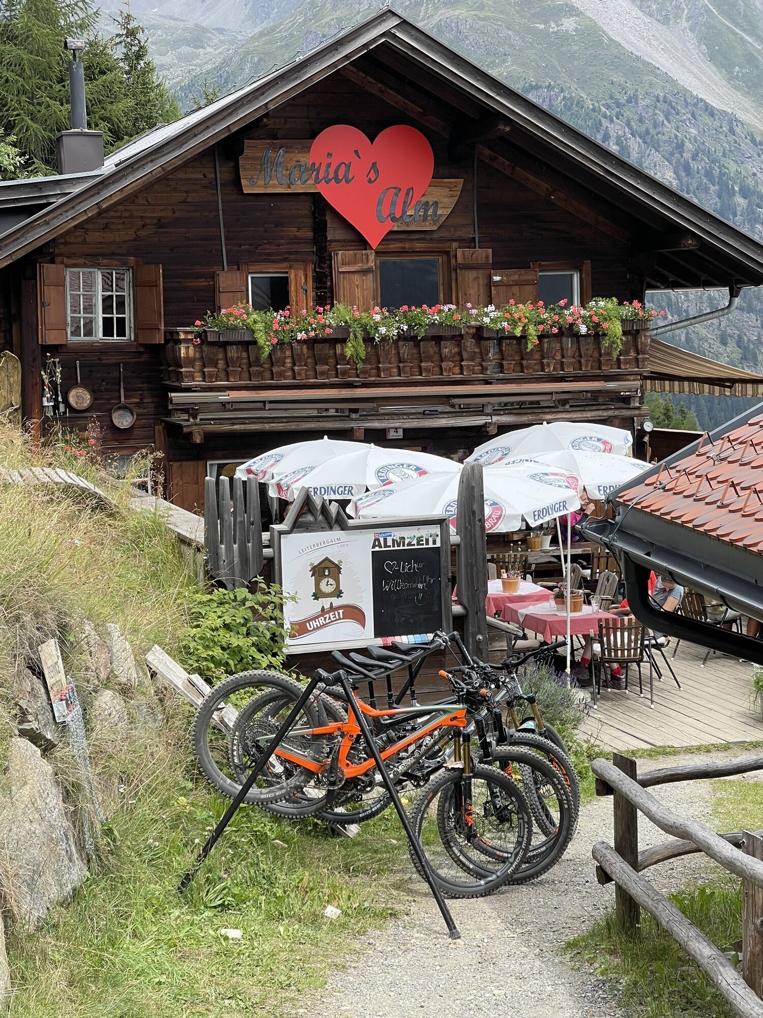
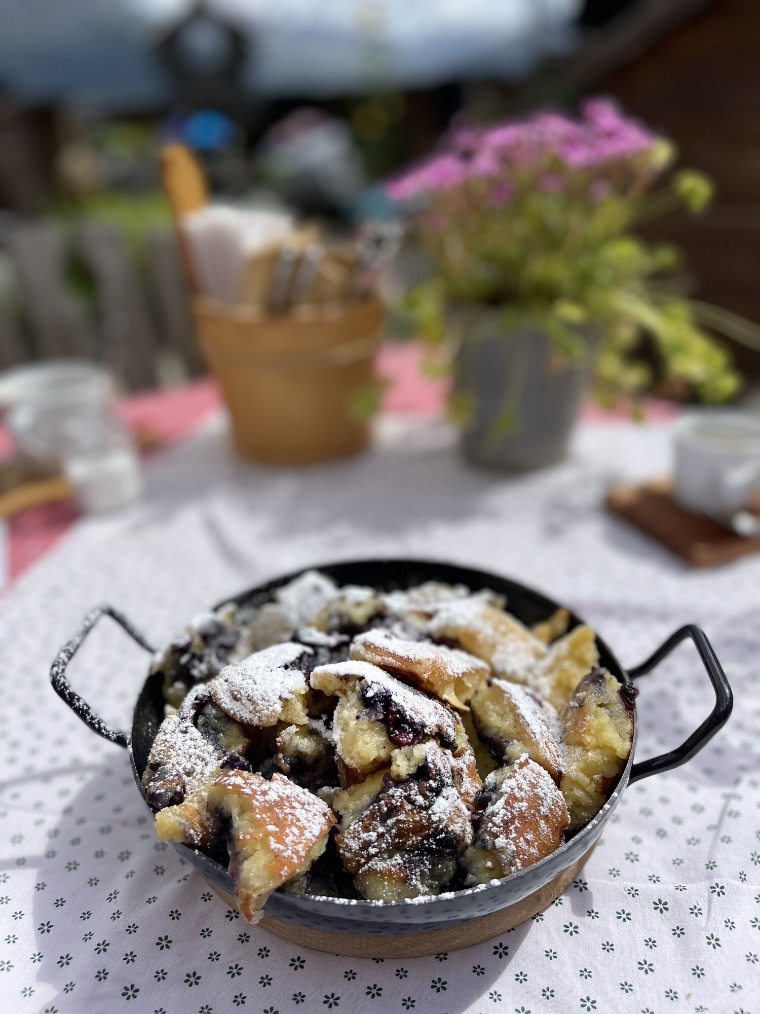
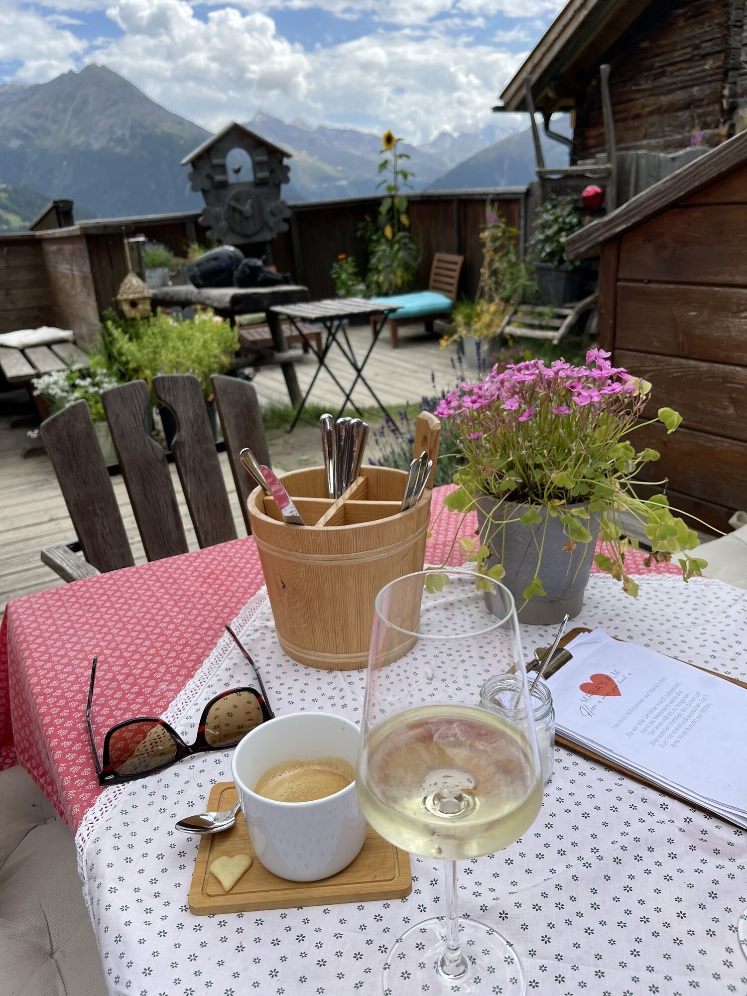
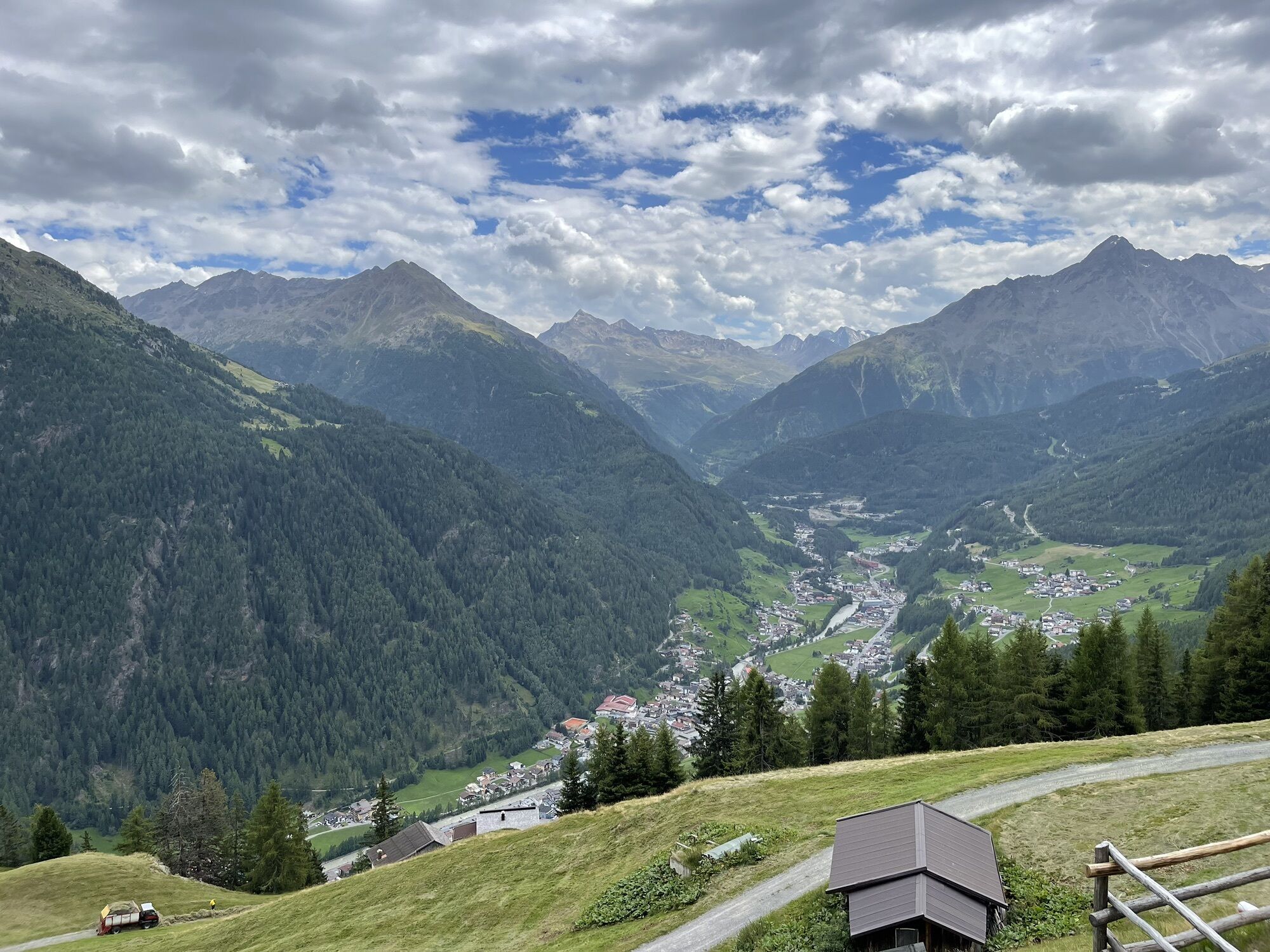
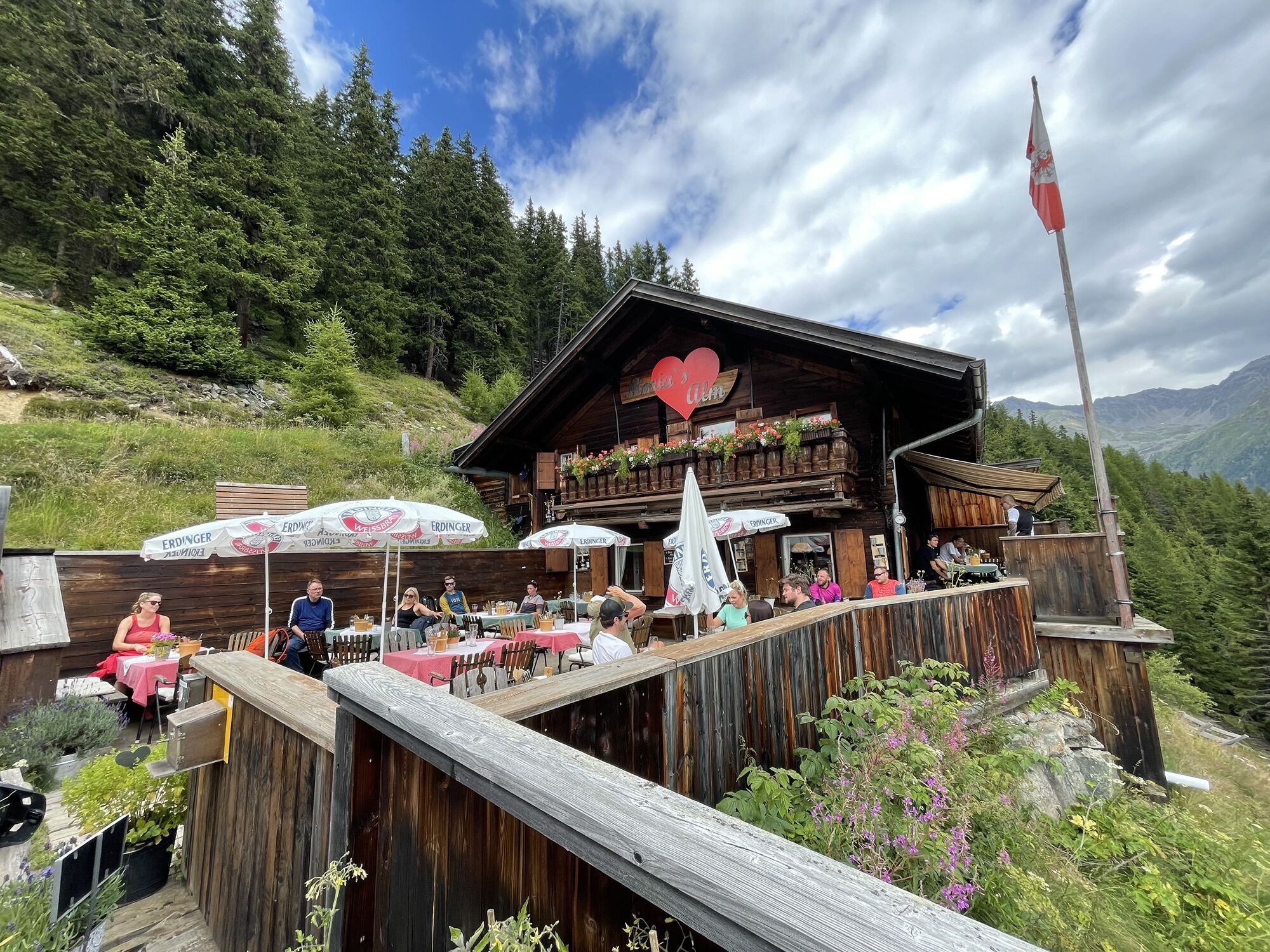
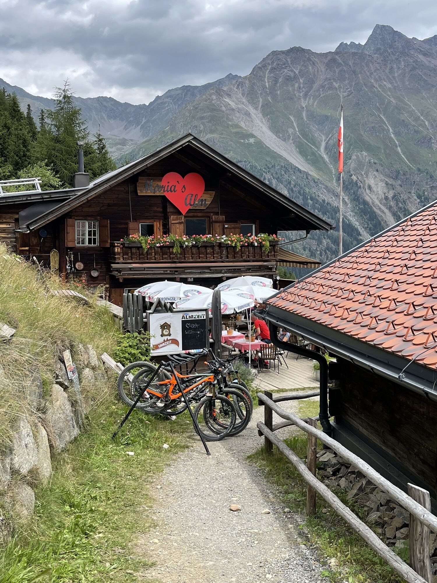
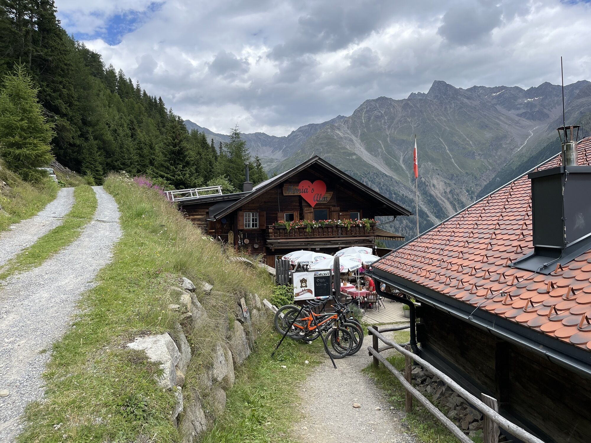
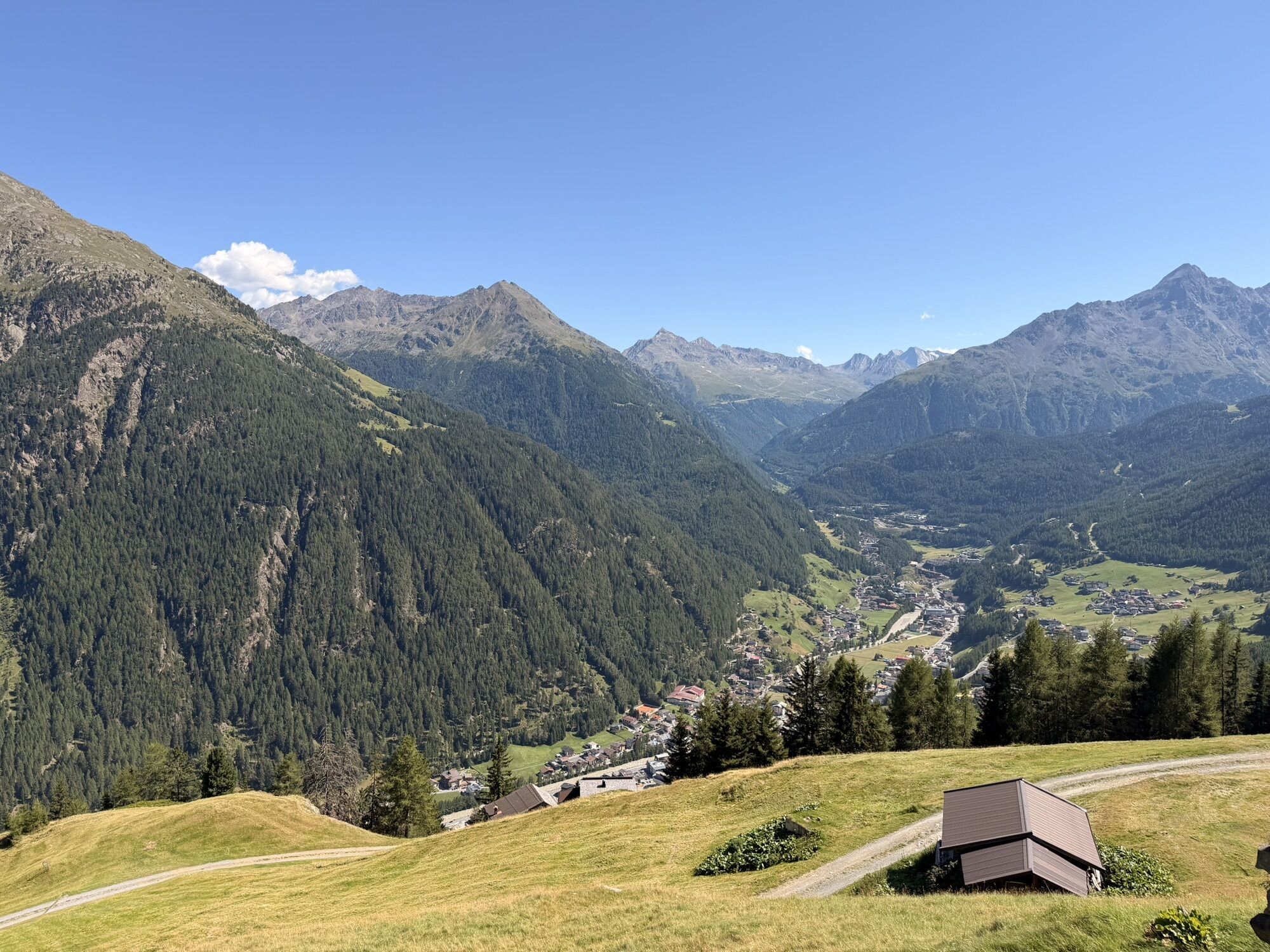
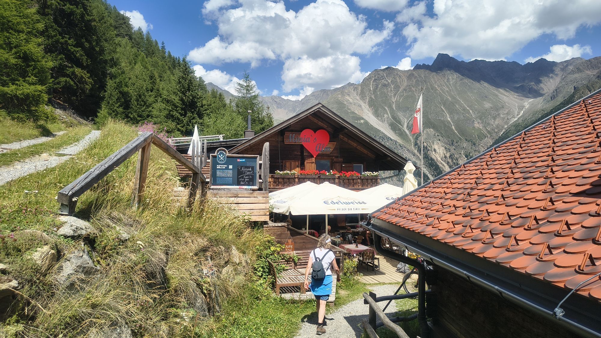
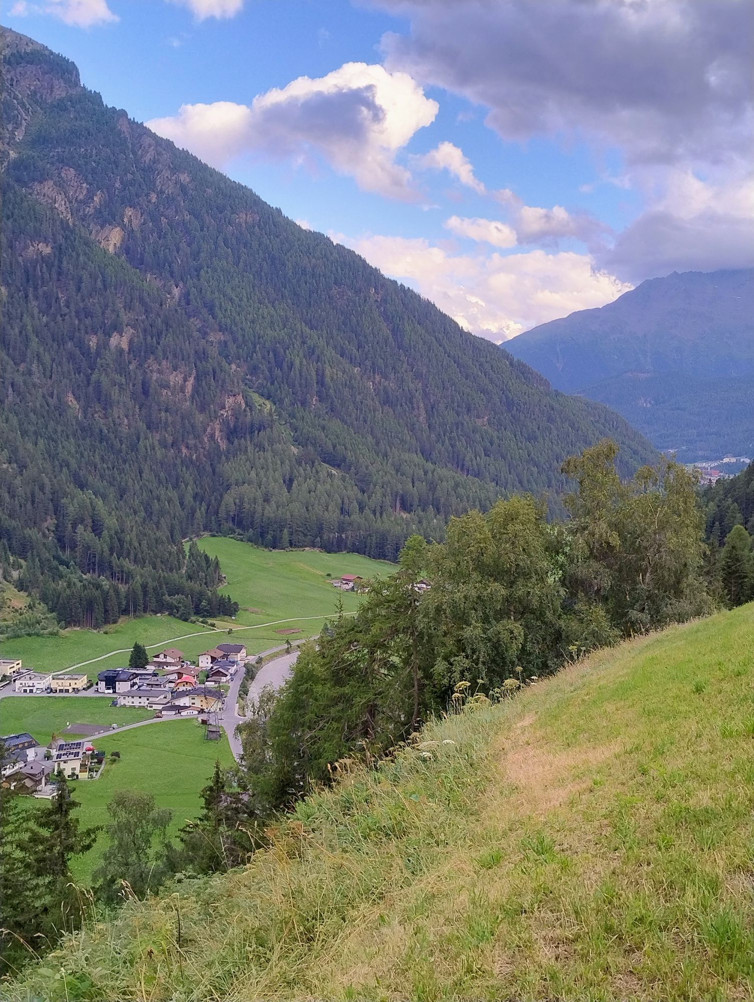
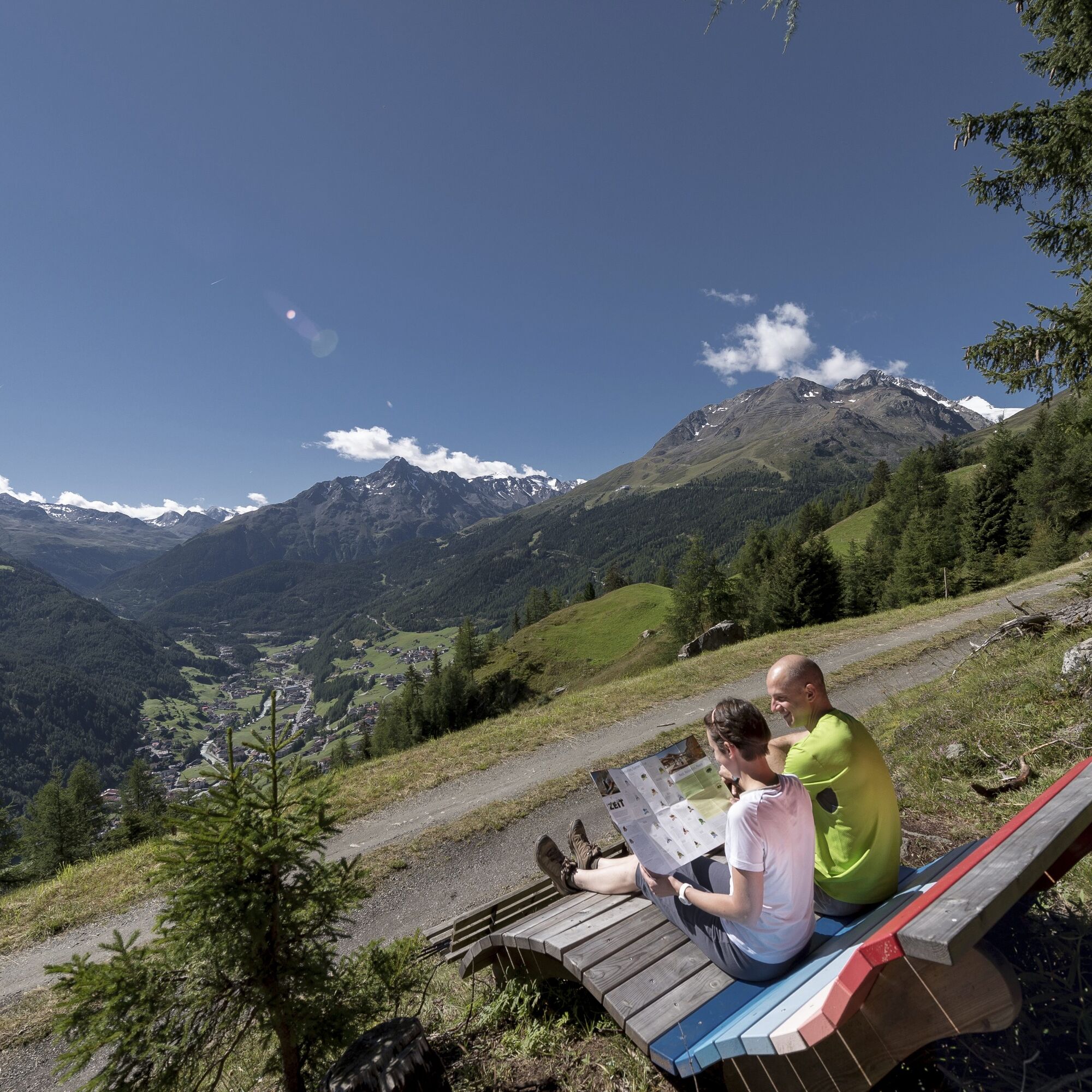
An attractive mountain bike tour for all those who seek a short challenge on the ascent but is doable for the average mountain biker – with some short, steep, and challenging climbs in between. After about eight kilometers of ascent, you have earned a break: Maria's Alm lies in a scenic location at almost 1900 meters above sea level. The view extends far across the valley of Sölden and the snow-covered mountains of the main Alpine ridge.
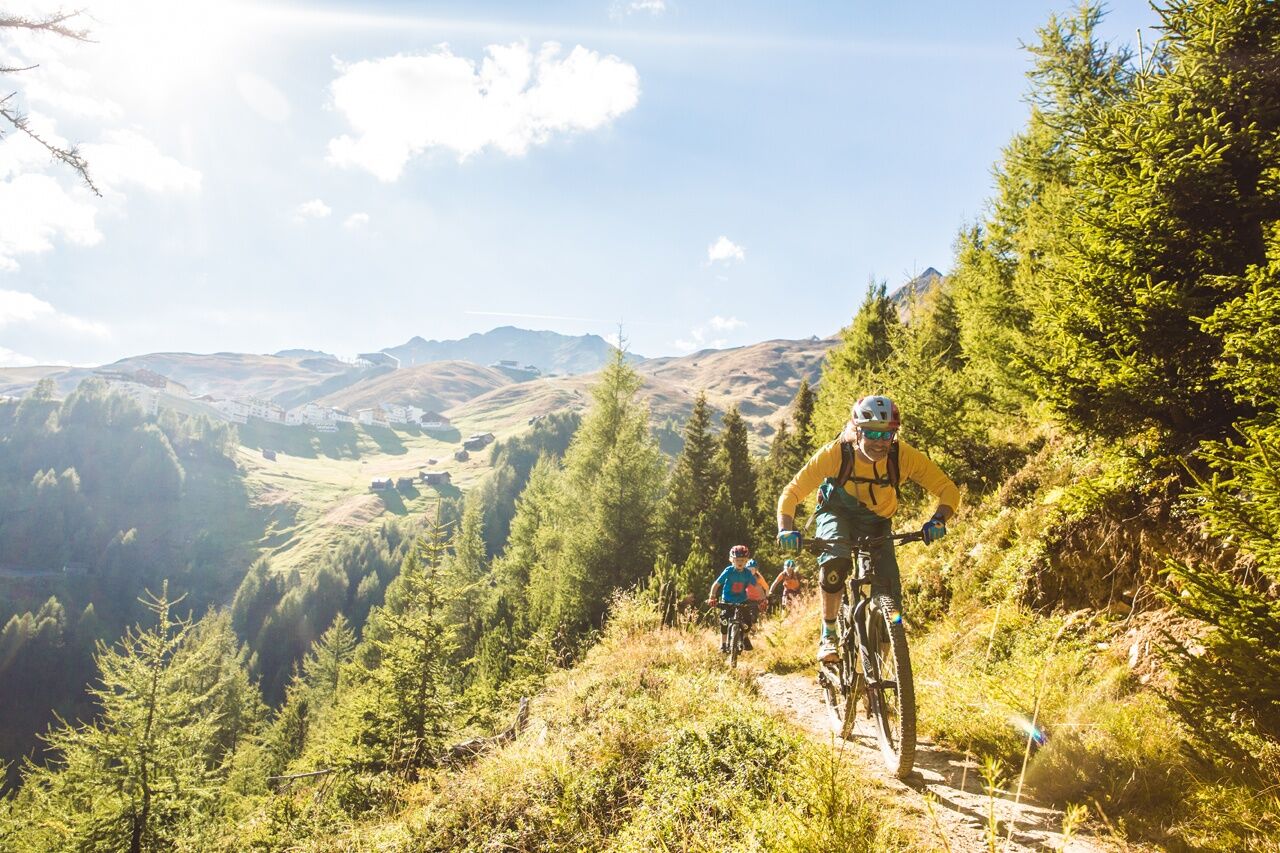
For enduro lovers: After a hearty snack at the beautiful Maria's Alm, the fun descent is just right. For more experienced mountain bikers, the Singletrail Leiterberg is a true delight. Attention: The singletrail occasionally has tough climbs. At the end of the mountain bike tour, you come back to the Giggijoch valley station via the Lettn Line.


The route starts at the Freizeit Arena and leads downstream towards Kaisers, via Mühlau to Granstein. From the Freizeit Arena, take the first street on the right and follow the Ötztal cycle path downstream. You gently roll along the municipal road and then follow the Waldelestraße. Here you pass the pavilion and the playground "Waldele". You always follow the paved road, east of the Ötztaler Ache, and ride through the hamlets of Rechenau and Schmiedhof. After about 2 km, you reach the hamlet of Kaisers. At the fork, turn left, cross the Ötztaler Ache and follow the paved road uphill until you reach the Ötztaler federal road. Here turn right and continue downhill along the federal road. Soon you pass a tunnel (not illuminated). After about 500 m, turn left at Mühlau and follow the paved road that leads to the hamlet of Granstein (marked A3). After a few curves, you reach the first houses of Granstein. At the first intersection, turn left onto a forest road and follow the signposting for Maria's Alm. The forest road eventually leads up to Maria's Alm, which you reach after just under 4 km. You are rewarded at 1,900 m with an incredible view of Sölden and the surrounding mountains, as well as a hearty snack at Maria's Alm. The return trip follows the same route back to Sölden to the Freizeit Arena. Alternatively, experienced mountain bikers can take the two singletrails Leiterberg Trail (672) and Lettn Line (6009) back to Sölden.
Gear up rules! We recommend wearing bike protective gear (elbow pads, knee pads, helmet, back protector, ...) on all lines, trails, enduro routes, and mountain bike routes of the BIKE REPUBLIC SÖLDEN. Only ride within the republic with a bike that meets today's quality standards.
WHERE IS SÖLDEN LOCATED?
Sölden is located in western Austria in the state of TIROL, in a southern side valley of the Inn valley – the ÖTZTAL.
Arrival from the west:
from Vorarlberg to Tirol via the Arlbergpass or through the Arlbergtunnel (S 16) - Landeck - Autobahn A 12 towards Innsbruck - exit Ötztal after Roppener Tunnel - B 186 (35 km) to Sölden
From the north:
- Bad Tölz - Achenpass - B 181 - Jenbach - A 12 Innsbruck heading towards Bregenz - exit Ötztal - B 186 (35 km) to Sölden
- Pfronten - Reutte - Fernpass - Imst - A 12 towards Innsbruck - exit Ötztal after Roppener Tunnel or B 171 Tiroler Straße to Ötztal (vignette-free) - B 186 (35 km) to Sölden
- Garmisch-Partenkirchen - Ehrwald - Lermoss - Fernpass - Imst - A 12 towards Innsbruck - exit Ötztal after Roppener Tunnel or B 171 Tiroler Straße to Ötztal (vignette-free) - B 186 (35 km) to Sölden
- Garmisch-Partenkirchen - Mittenwald - Scharnitz - Seefeld in Tirol - Telfs - A 12 towards Bregenz - exit Ötztal or B 171 Tiroler Straße to Ötztal (vignette-free) - B186 (35 km) to Sölden
From the east:
from Munich or Salzburg on the A 93 to Kufstein, then on the A 12 towards Bregenz, via Innsbruck to exit Ötztal, then continue on B 186 (35 km) to Sölden
From the south:
from Bolzano heading to Brenner (toll road) - Brenner Autobahn via the toll station Schönberg towards Innsbruck - from Innsbruck on A 12 towards Bregenz to the Ötztal exit - continue on the B 186 (35 km) to Sölden
Arrival by train
Travel comfortably and safely by train to the Ötztal train station. A local bus departs directly from the station square towards Obergurgl. The bus ride to Sölden takes about 1 to 1.5 hours.
All important information about bus schedules, connections, and taxi companies can be found here.
At the valley station of the Gaislachkoglbahn and Giggijochbahn there are sufficient parking spaces available, including parking garages.
Parking spaces are subject to a fee.
Paid overnight parking of cars is possible in the Gaislachkogl parking garage:
more information on overnight parking
Please respect that wild camping is prohibited!
More info about biking & cycling in the Ötztal: https://www.oetztal.com/biken
Pridobite vpogled
Vedno v živo na mestu z več kot 9.500 spletnimi kamerami. bergfex Kot uporabnik Pro si lahko zdaj ogledate ustrezne spletne kamere za številne izlete v aplikaciji izleti iz. Tako si lahko neposredno ogledate trenutne razmere.
Priljubljeni izleti v okolici
-
4.7
Winnebachsee Hut – Längenfeld/Gries
srednjaPohodništvo 4.74 km -
4.5
Vent - Wilder Mann - Breslauer Hütte - Stableinalm
srednjaPohodništvo 7.25 km -
4.7
Winter circular route Brandalm/Burgstein - Längenfeld 204
srednjaZimsko pohodništvo 5.44 km -
4.8
Wilde Wasser Weg - Fortgeschritten
srednjaPohodništvo 12.0 km -
5.0
Dresdner hütte - sulzenauerhütte
srednjaPohodništvo 12.1 km -
4.4
Rundwanderung Hängebrück3
svetlobaPohodništvo 6.32 km -
4.3
Amberger Hut - Längenfeld/Gries
srednjaPohodništvo 5.60 km -
4.3
Hohe Geige über Gawinden und den Westgrat
težkoPohodništvo 14.3 km -
3.4
Tiefenbachglacier - Mountaineering Village Vent
srednjaPohodništvo 10.8 km -
5.0
Obergurgl - Ramolhaus
Pohodništvo 7 km

Pohodništvo in sledenje


Ne zamudite ponudb in navdiha za naslednje počitnice
Vaš e-poštni naslov je bil dodan na poštni seznam.





