


TIP Trip Tirol ➤ Timmelsjoch from North Tyrol to South Tyrol
Stopnja težavnosti: 4
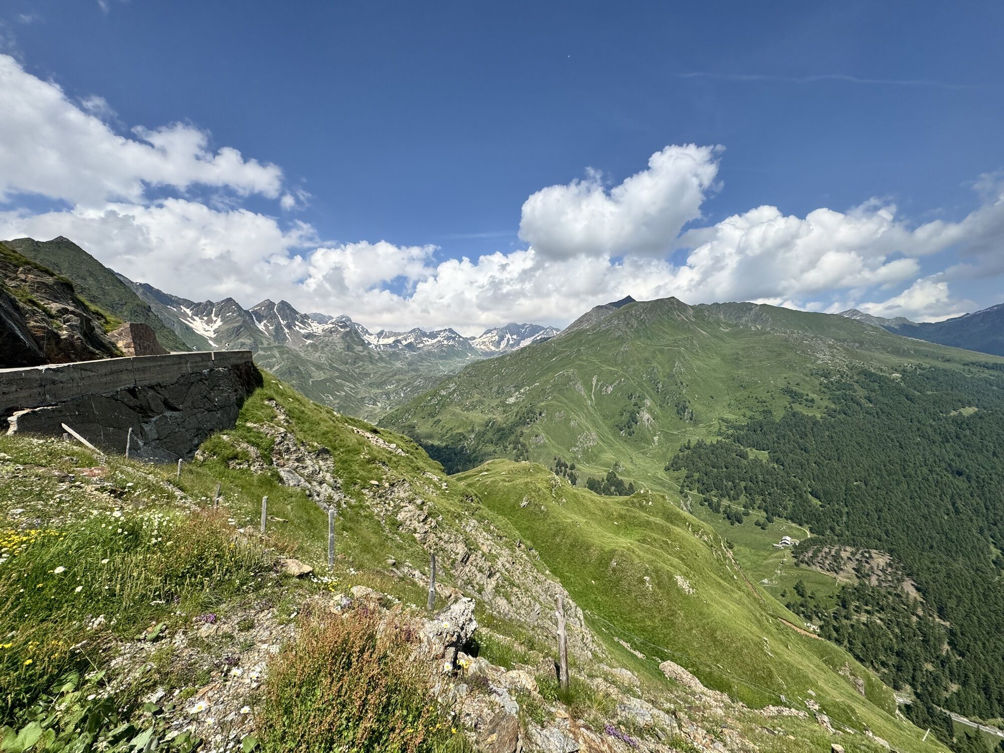
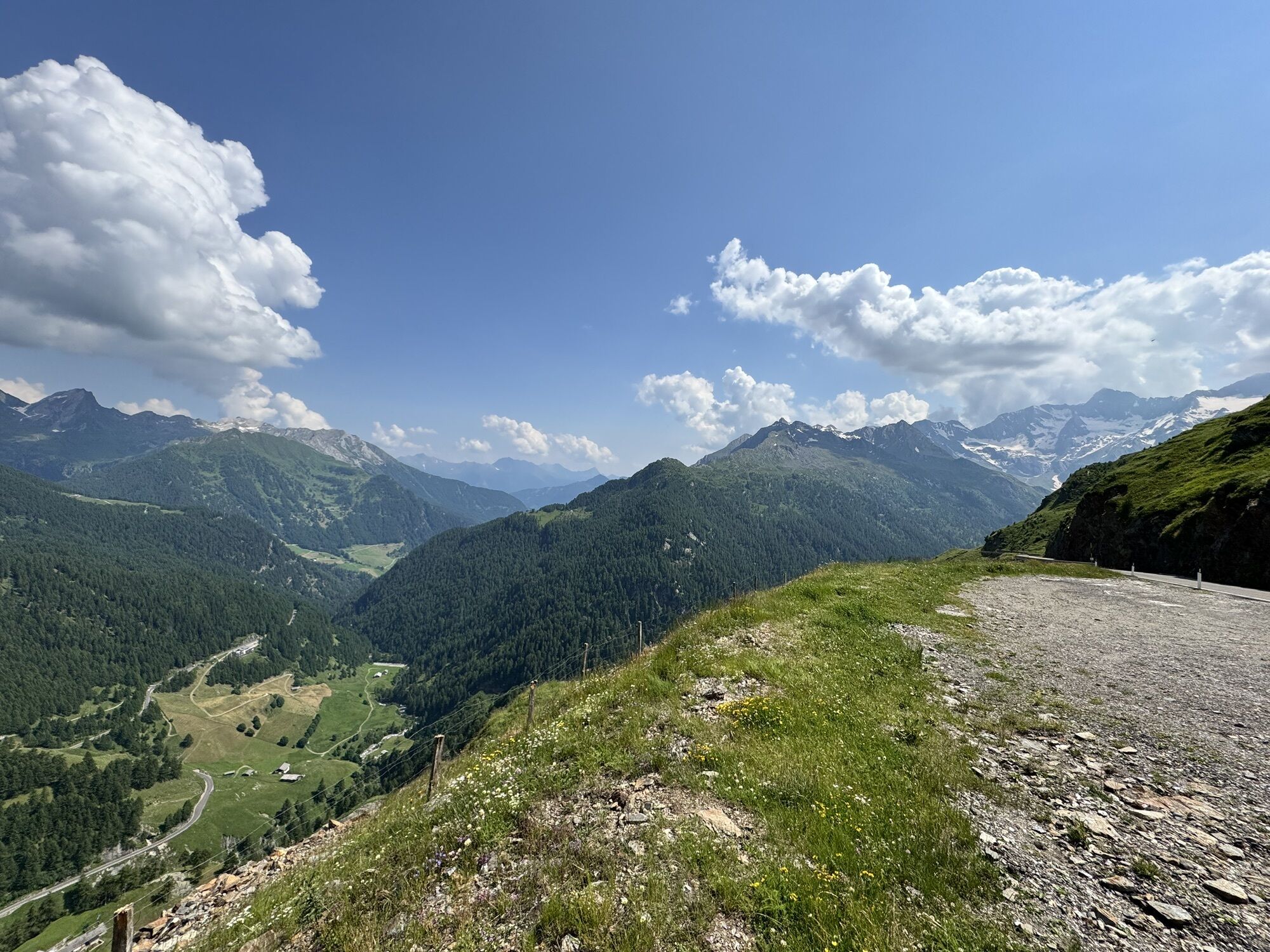

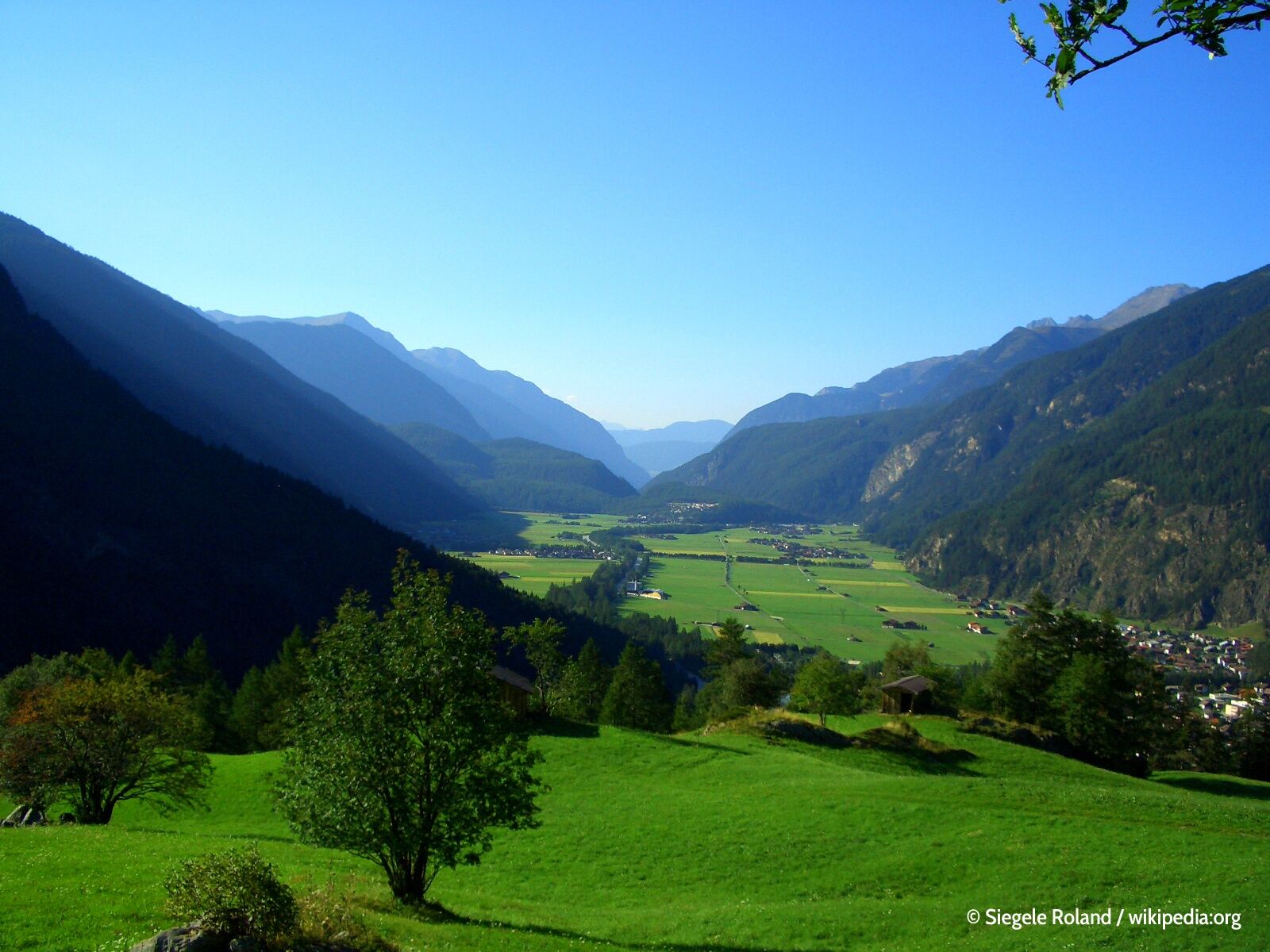
💚 From Zwieselstein, the route climbs in long sweeping bends and offers magnificent panoramic views of the North and South Tyrolean Alps. The south ramp was already built from 1933 up to 2 km before the...
ð From Zwieselstein, the route climbs in long sweeping bends and offers magnificent panoramic views of the North and South Tyrolean Alps. The south ramp was already built from 1933 up to 2 km before the pass, but it took until the end of 1968 for the road over the Timmelsjoch to be officially opened in both directions.
ð The history of Tyrol is closely linked to one person: Andreas Hofer, born in 1767 in the Passeier Valley, one of the most significant freedom fighters of the Alps. Highly respected by his compatriots, they sent him against Napoleon’s troops. The French invaded Tyrol three times, and each time they suffered bloody defeats. However, when Tyrol was to fall to Bavaria, Andreas Hofer rose up one last time. But the far superior enemies struck back decisively, captured Hofer, and executed him on February 20, 1810. His remains rest in the Innsbruck Court Church, but his story remains alive everywhere.

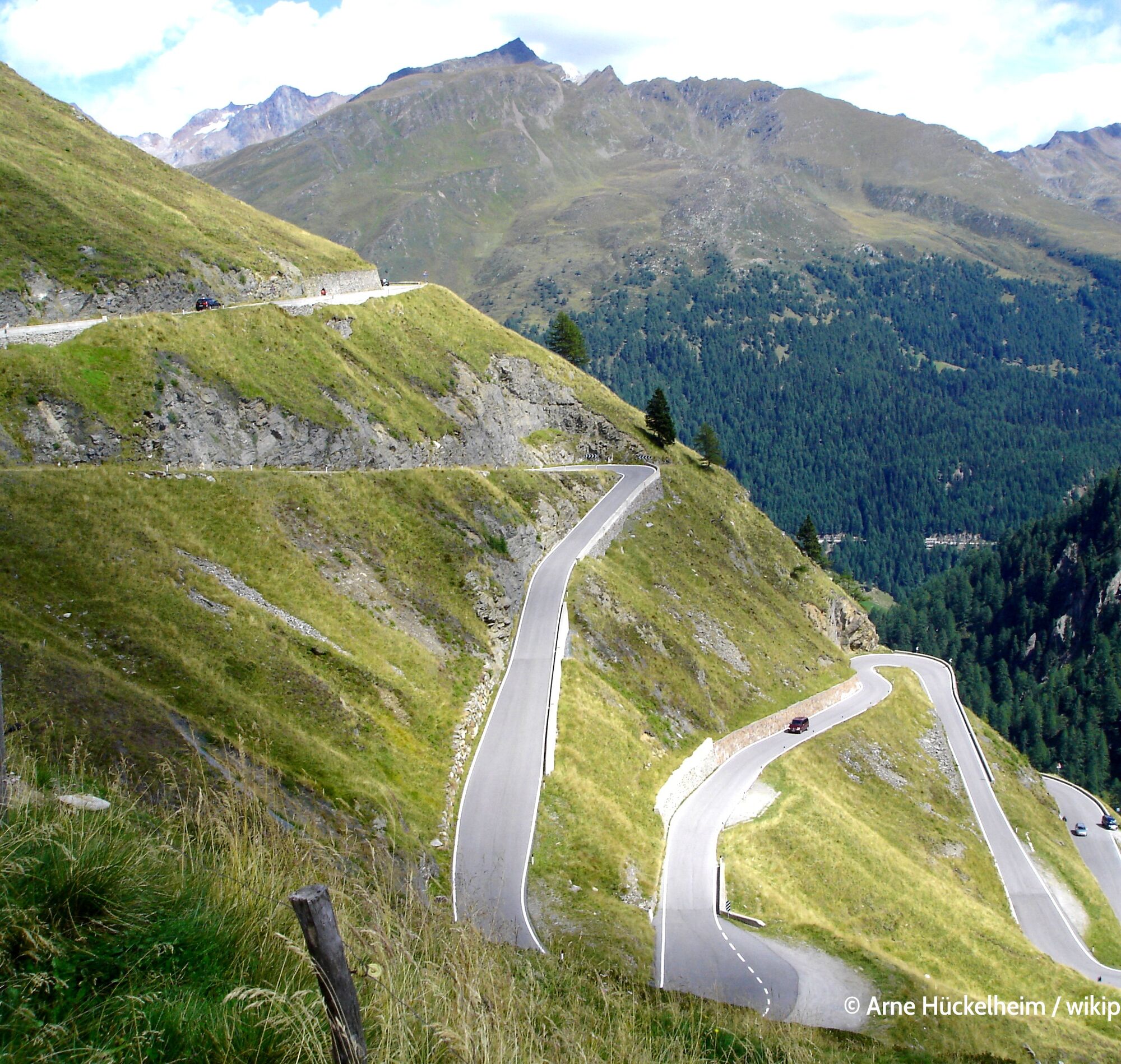
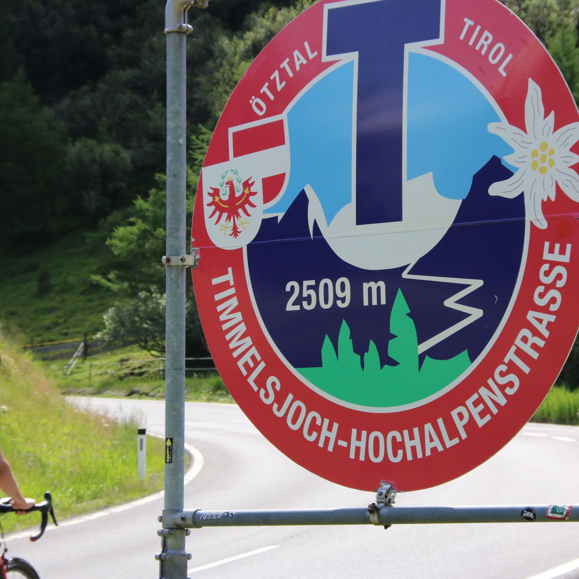
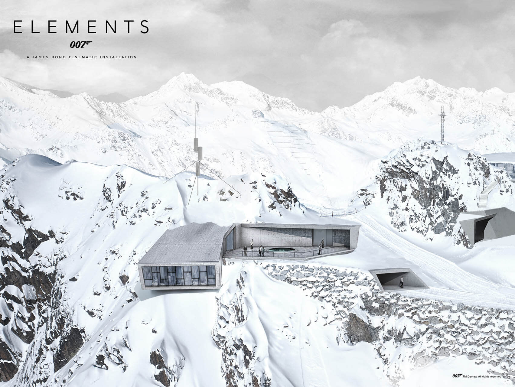
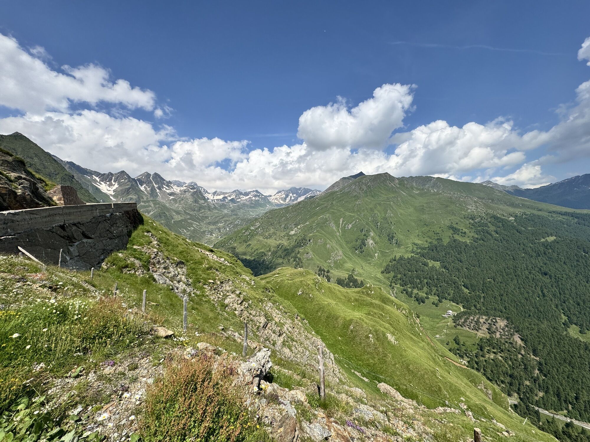
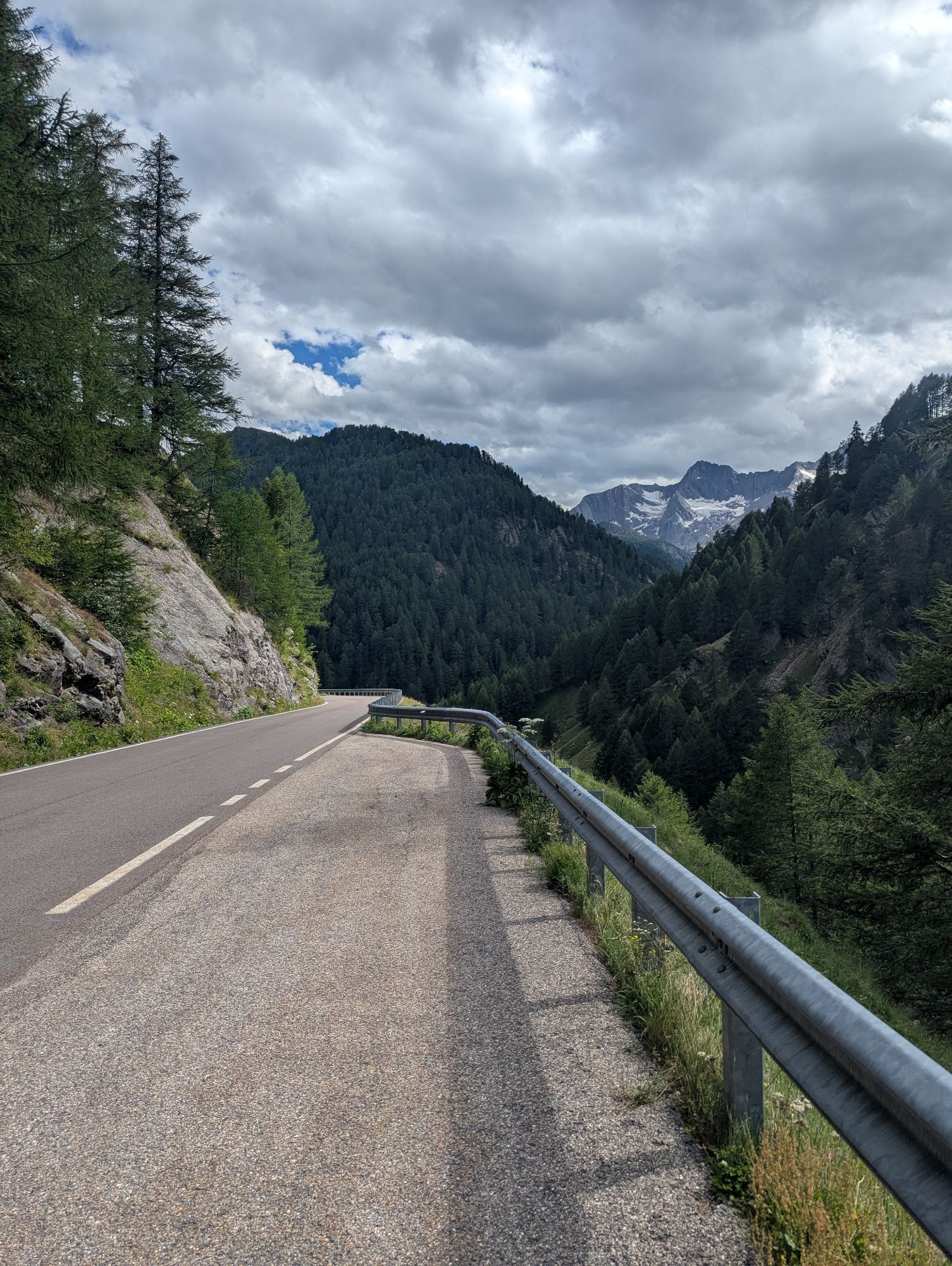
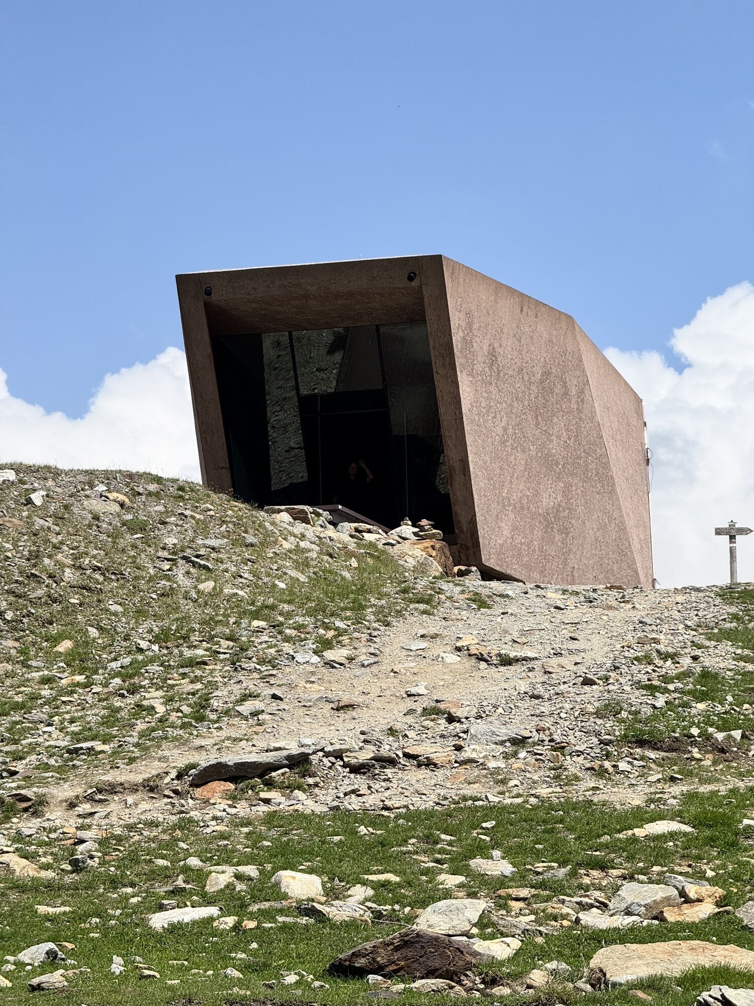
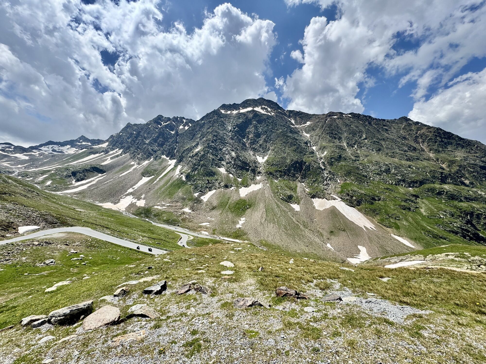
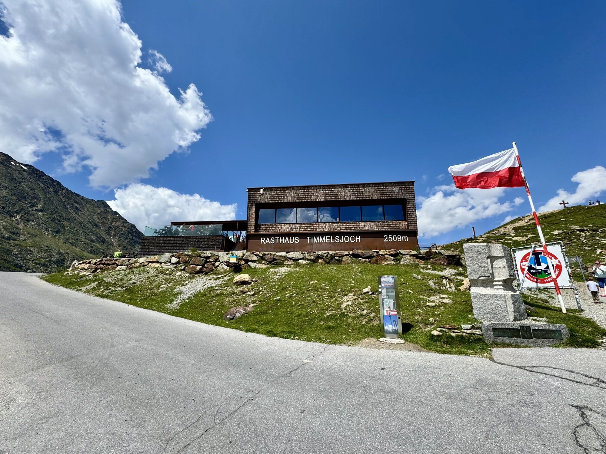
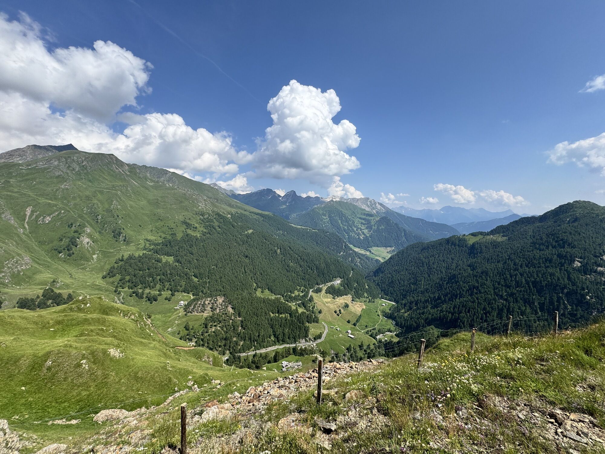
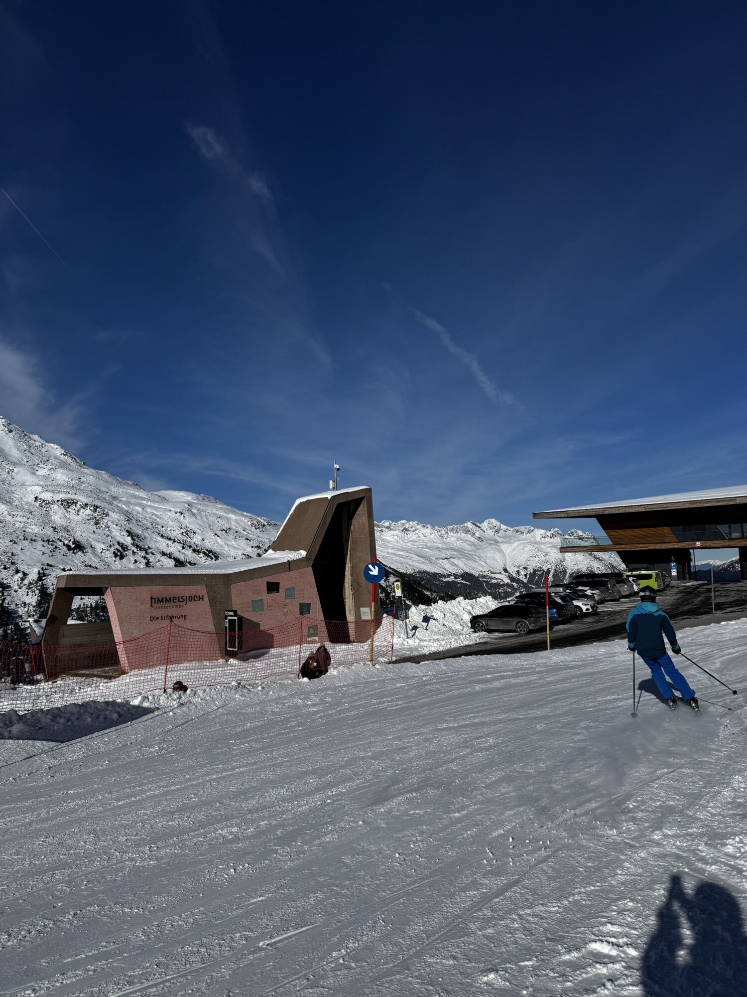
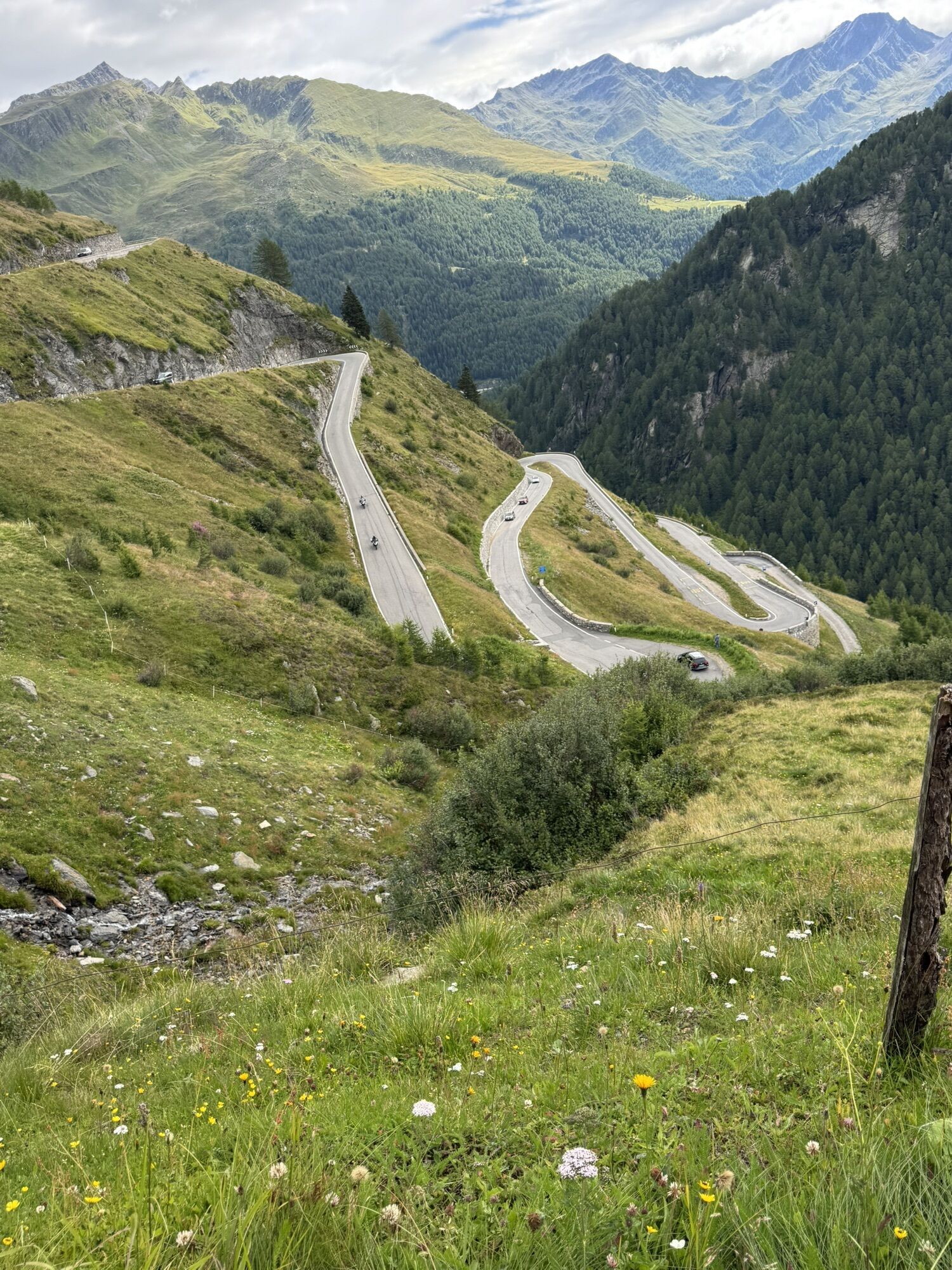
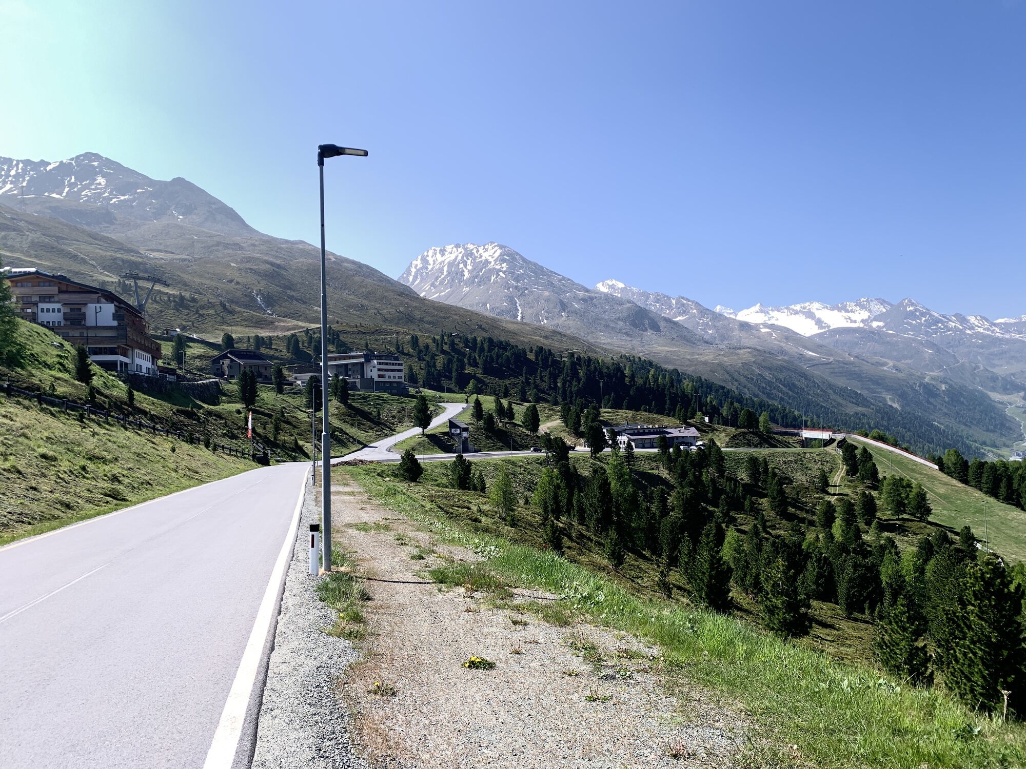
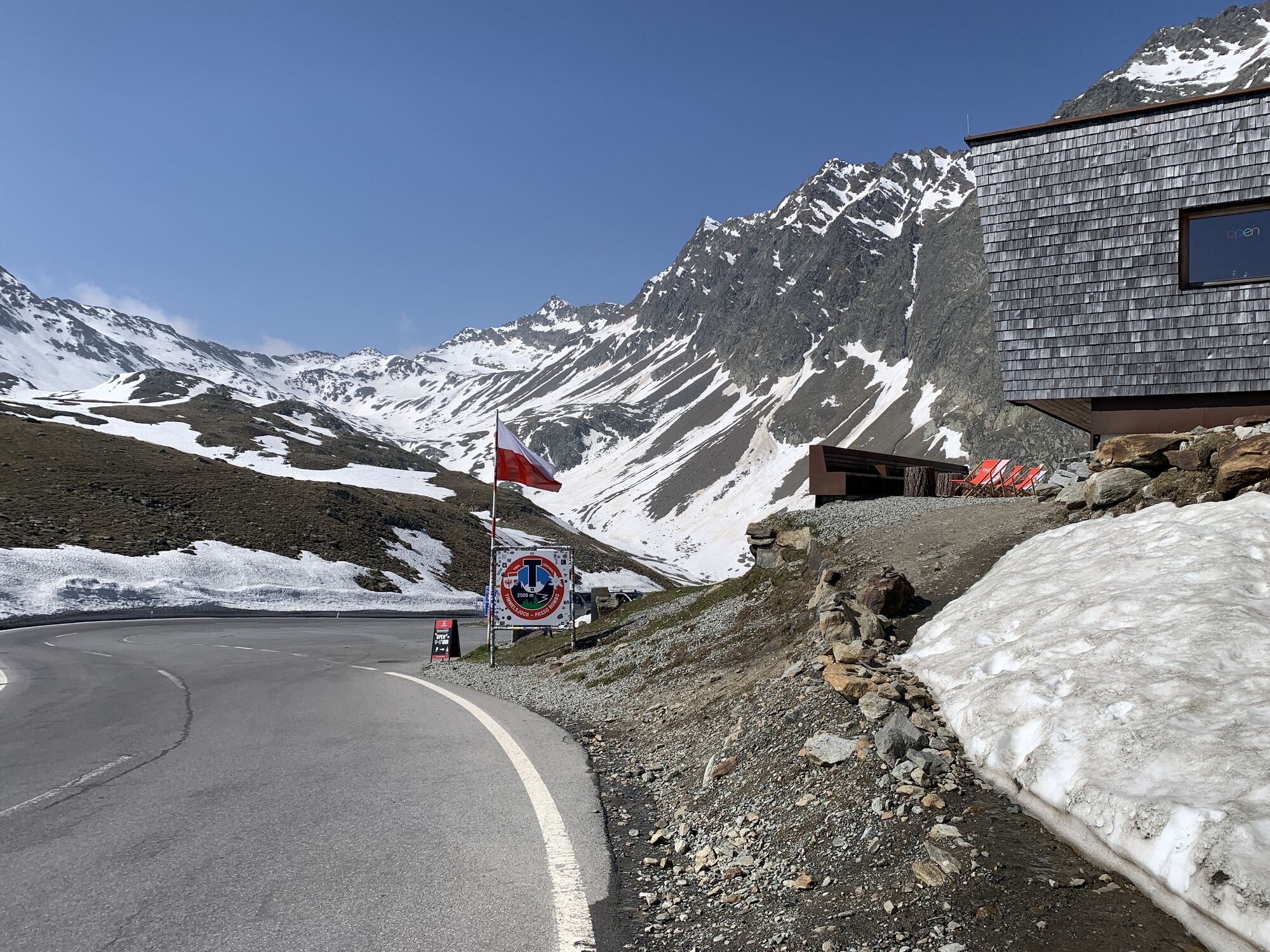
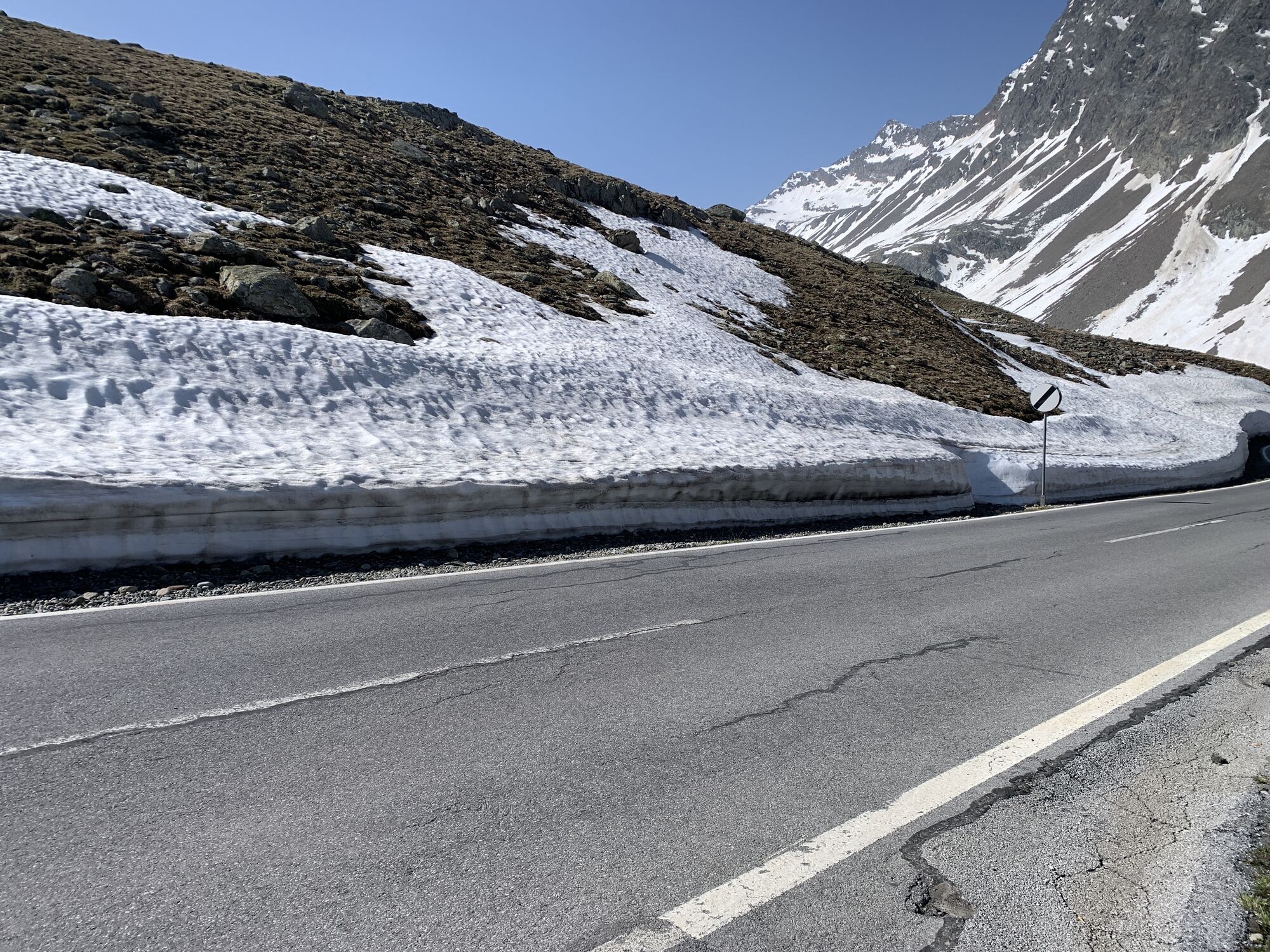
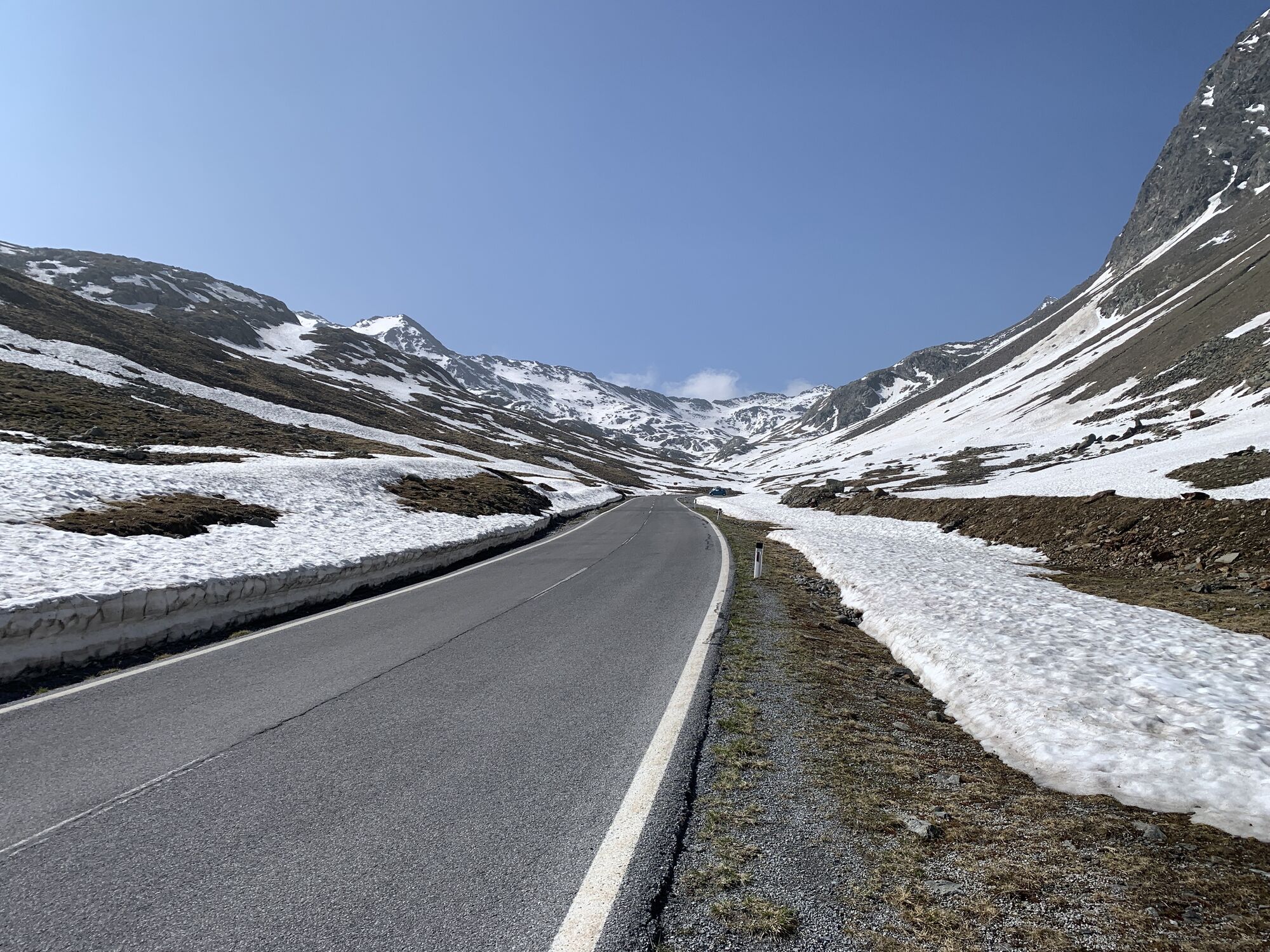
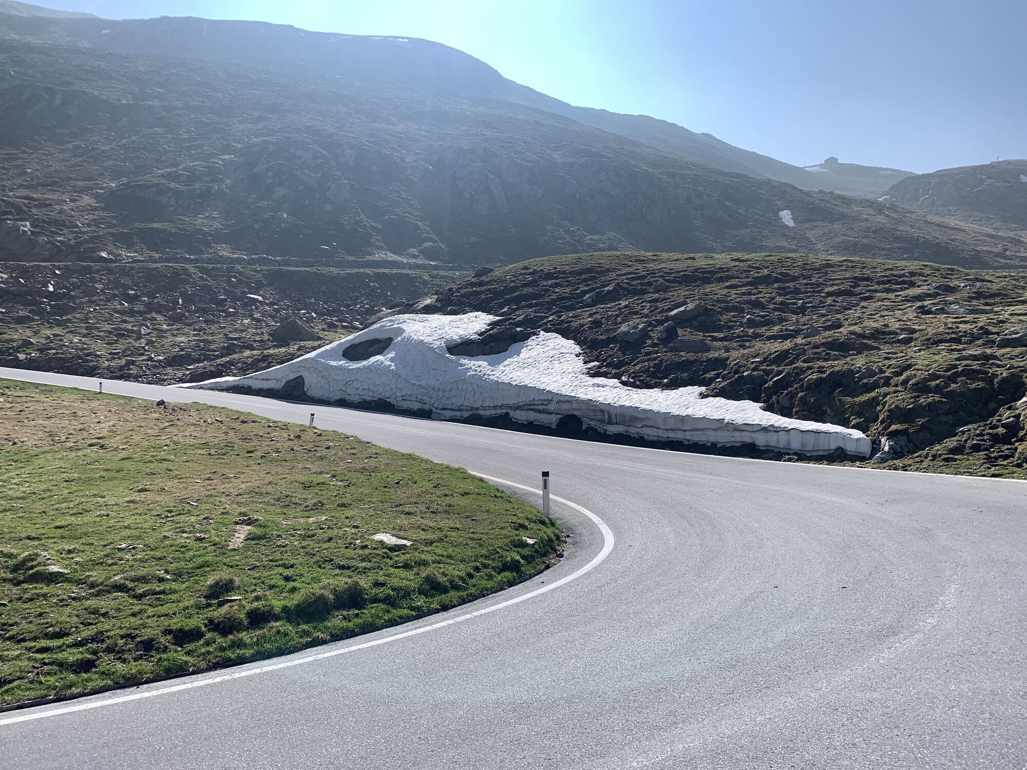
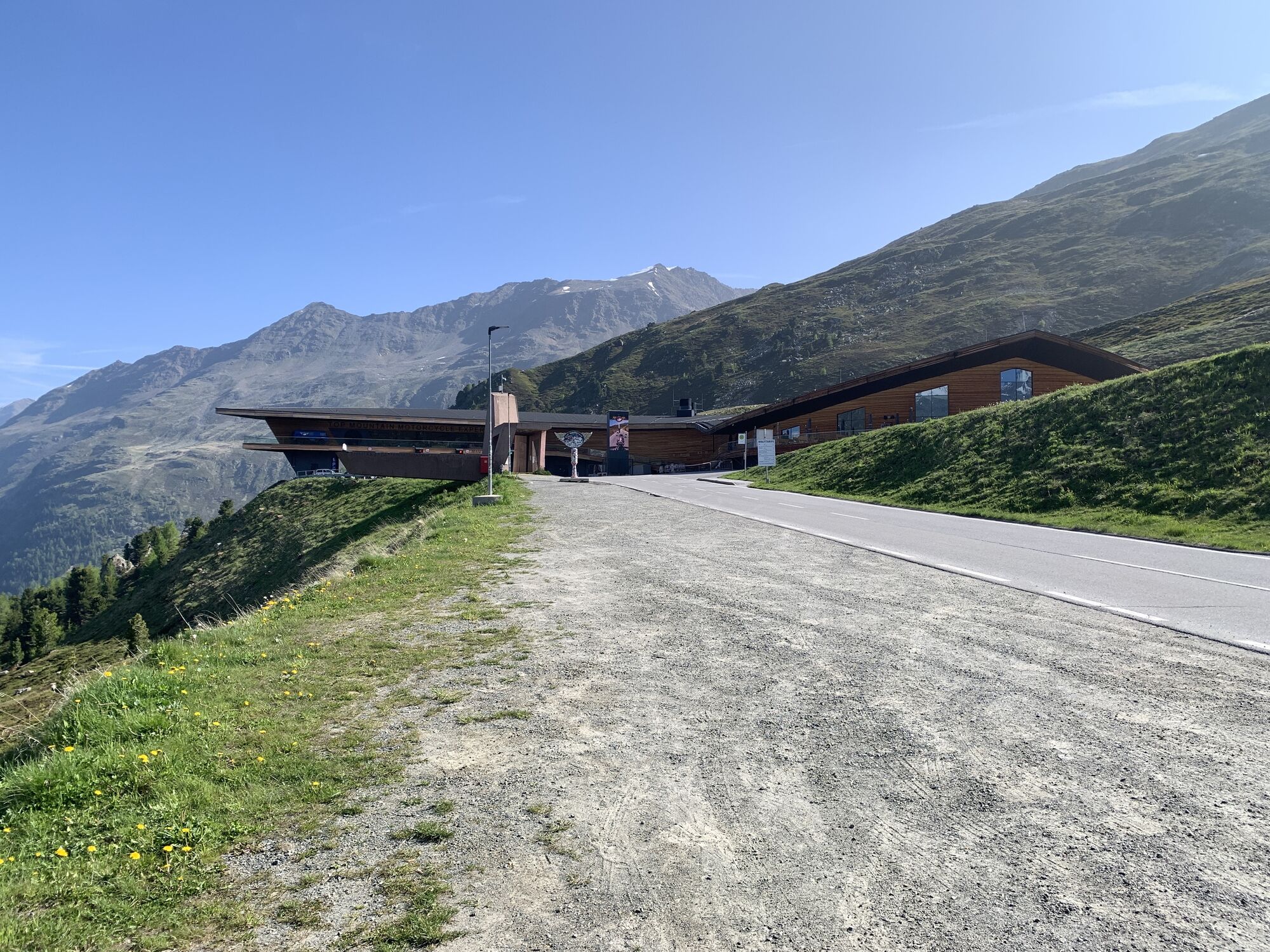
A car or motorcycle ride over the 2,509-meter-high Timmelsjoch, Austria's highest road border crossing, is a very special experience. The spectacular toll alpine road leads through the Ötztal glacier world into the vineyards of the South Tyrolean Passeier Valley and further down 2,000 meters to Merano. It is a special feeling of freedom that this drive over the Timmelsjoch conveys. The tranquil north-south connection, away from the main traffic routes, also known as the "secret gap" in the Alps, opens up the world of the high mountains to travelers. Along the road, you will repeatedly notice partly futuristic architectural sculptures that provide information about the nature, history, culture, society, and economy of the region. At the toll station in Hochgurgl, there is also the Motorcycle Museum, Europe's highest motorcycle museum, with around 230 exhibits from more than 100 manufacturers.
Da
Da
Da
Motorcycle: ⤠Motorcycle helmet ⤠Motorcycle gloves ⤠Motorcycle boots ⤠Motorcycle jacket and pants
Convertible: ⤠Baseball cap ⤠Sunscreen ⤠Sunglasses ⤠Convertible?!?
always pay attention to the road surface
Located in Tyrol, the Ötztal branches off to the south as the longest side valley of the Eastern Alps. The journey by car takes holidaymakers through the Inn Valley to the valley entrance and further along the Ötztal. In addition to the toll motorway, country roads can also be used. The route planner makes it quick and convenient to determine the drive.
better with motorcycle or convertible
sufficient parking spaces available
suitable accommodations on trip-tirol.com
4
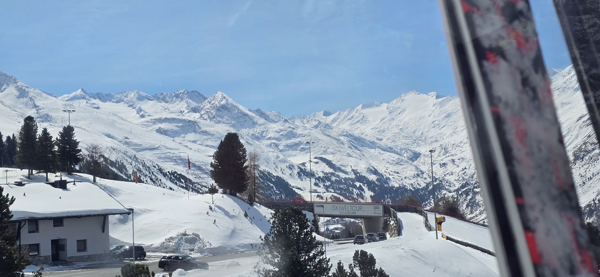
The Timmelsjoch is closed for winter from November to April
book suitable accommodation on trip-tirol.com
ð STEG, HOCHGURGL
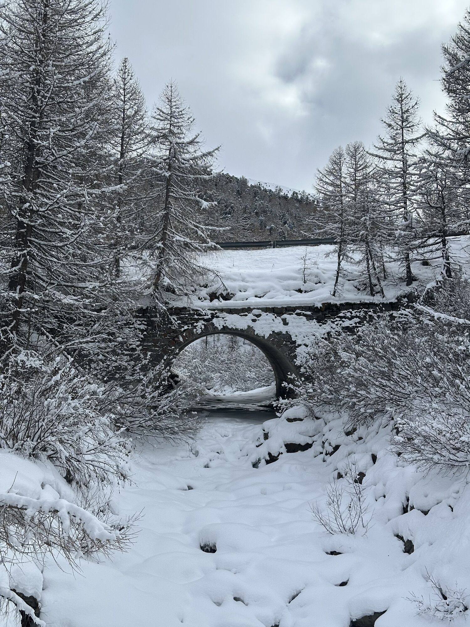
ð SMUGGLER, TIMMELSBACHBRÜCKE
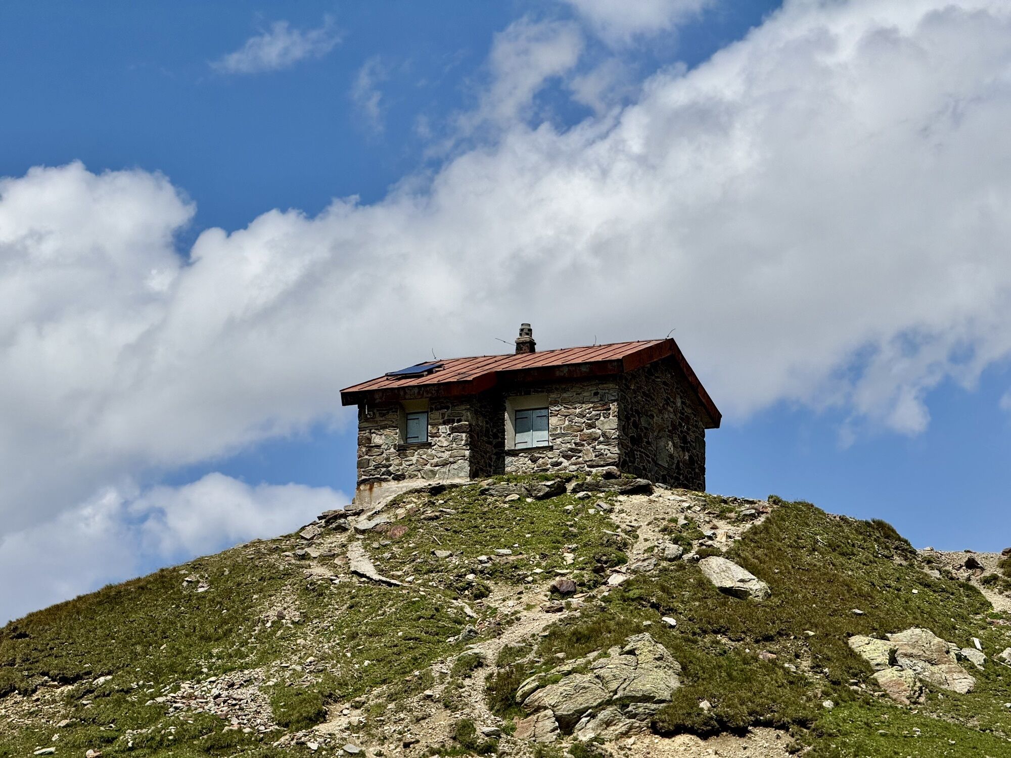
ð PASS MUSEUM, TIMMELSJOCH
ð TELESCOPE, SCHEIBKOPF
ð GARNET, MOOS IN PASSEIER
Spletne kamere s turneje
Obergurgl
Hochgurgl
Obergurgl
Gaislachkogel
Gaisberg
St. Leonhard im Passeier
Sölden - Grünwald Resort
Top Mountain Crosspoint Hochgurgl
Top Mountain Crosspoint Hochgurgl
Top Mountain Crosspoint Hochgurgl
Top Mountain Crosspoint Hochgurgl
Top Mountain Crosspoint Hochgurgl
Sölden - Grünwald Resort
Obergurgl
Stuls - Kronhof
Obergurgl - Hotel Edelweiß
Passeiertal
Top Mountain Crosspoint Hochgurgl
Sölden - Gaislachkogelbahn Mittelstation
Sölden Ort
The Peak Sölden**** Chalets und Appartements
Rabenstein im Passeiertal

Priljubljeni izleti v okolici
- 4,8
Wilde Wasser Weg - Fortgeschritten
srednjaPohodništvo 12,0 km - 4,6
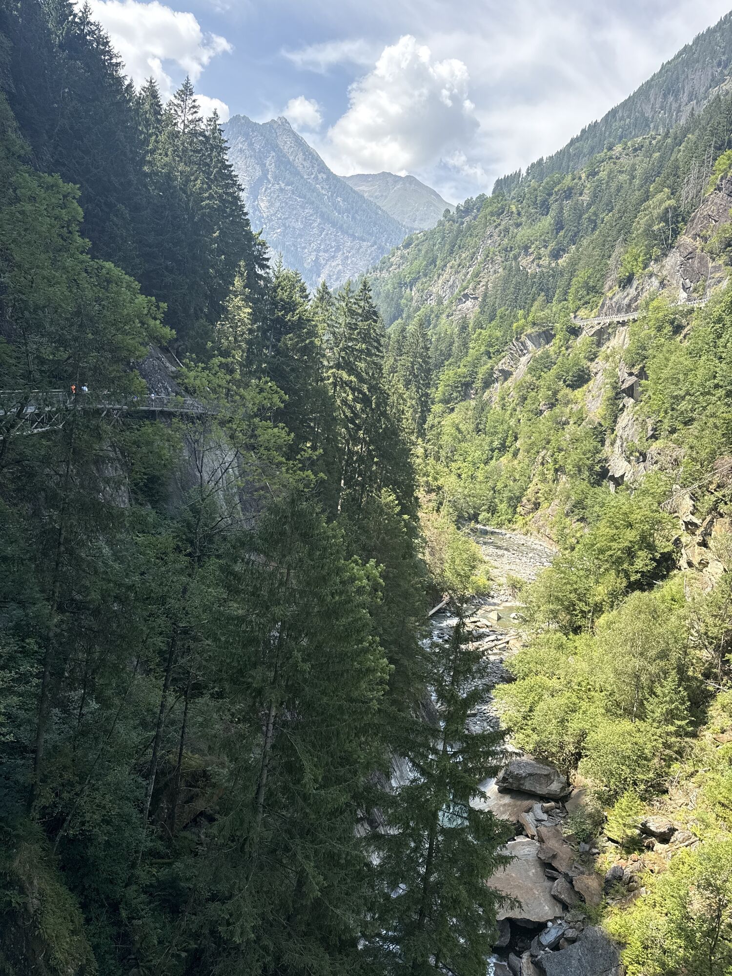
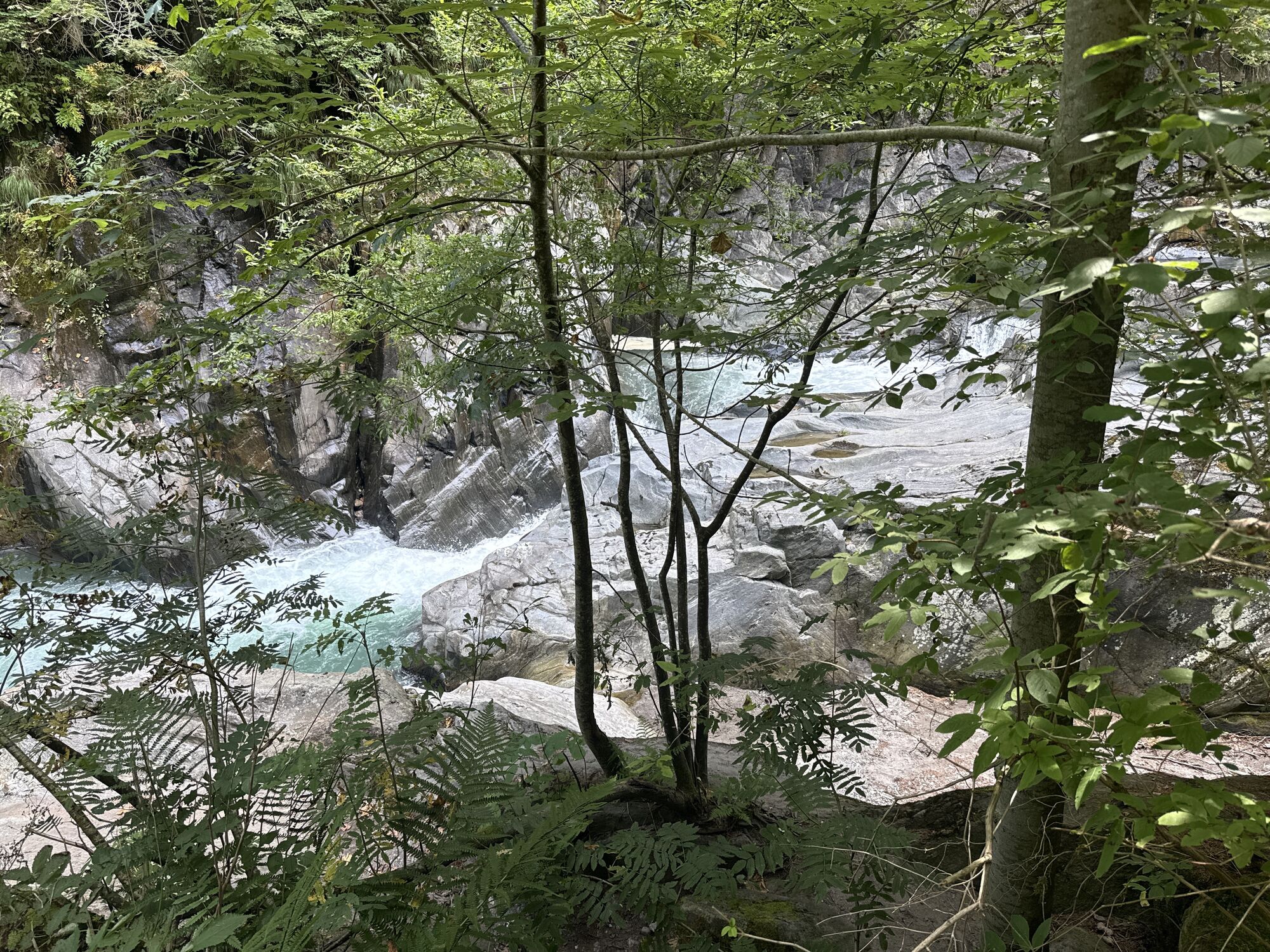
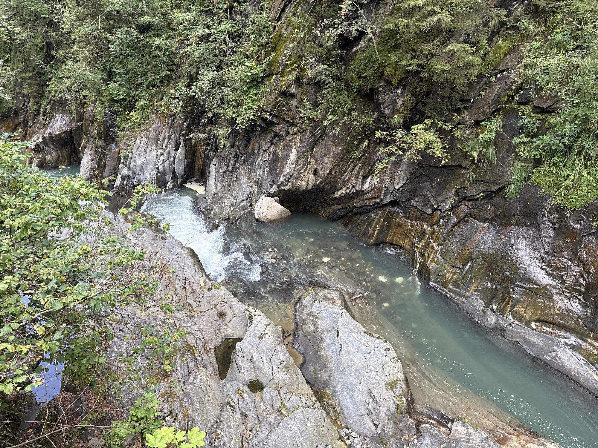
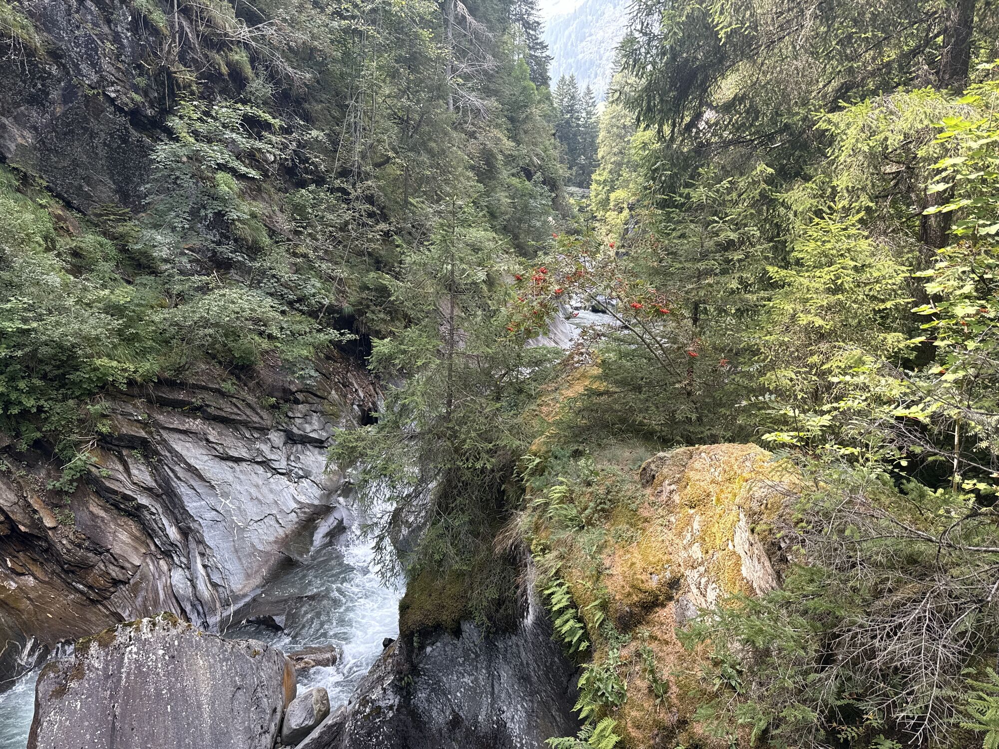
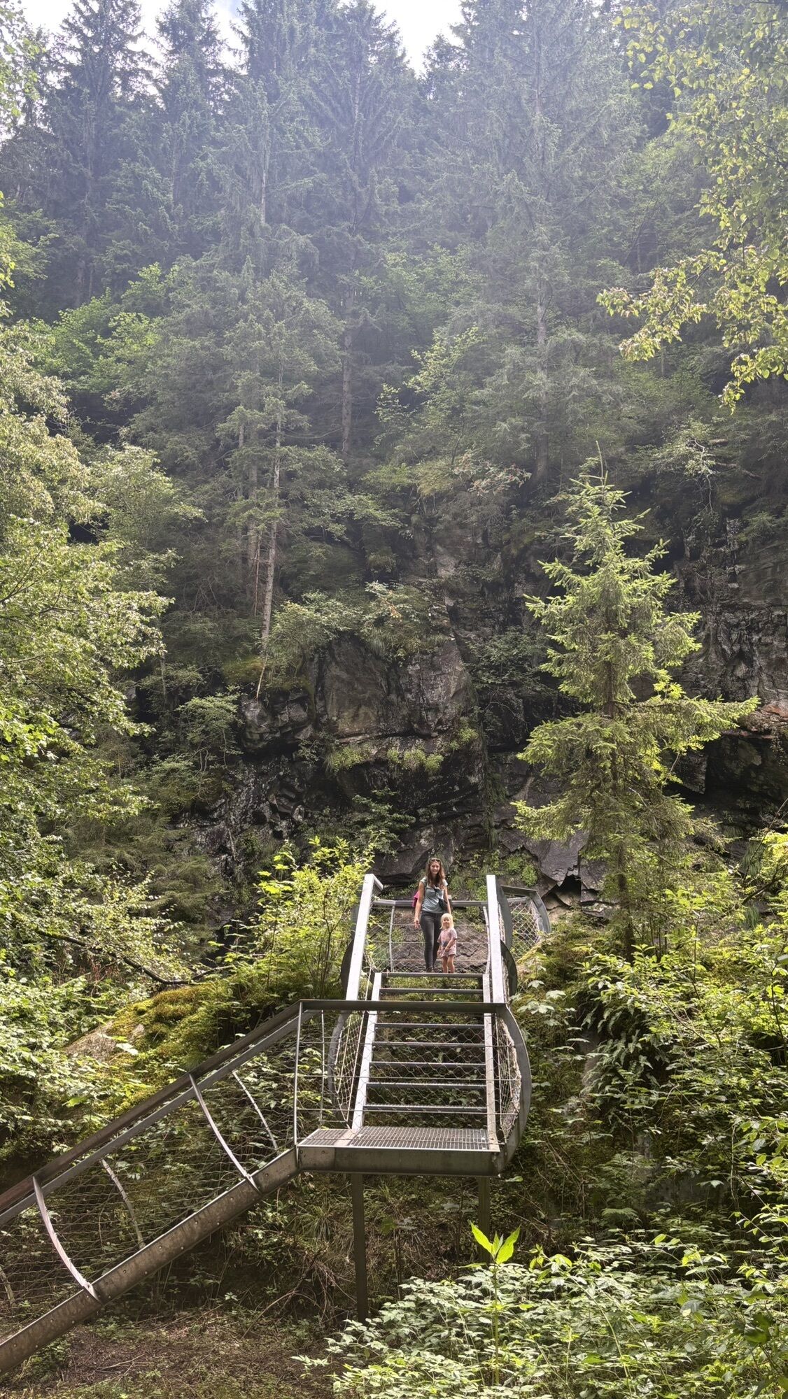
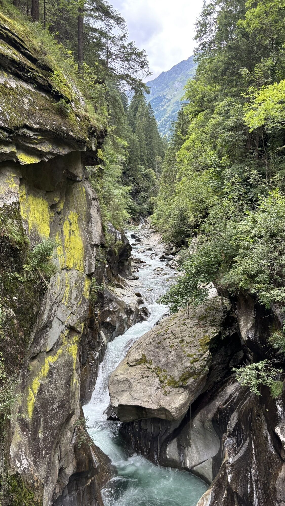
Passerschlucht
svetlobaPohodništvo 8,84 km - 4,4
Passerschlucht mit Stieber Wasserfällen, Trentino-Südtirol/Italien
srednjaPohodništvo 9,49 km - 3,1
Tiefenbachglacier - Mountaineering Village Vent
srednjaPohodništvo 10,8 km - 4,4
Hochwilde - Pfelders
srednjaVisokogorska tura 22,1 km - 5,0
Dresdner hütte - sulzenauerhütte
srednjaPohodništvo 12,1 km - 4,8
Spronser Seen lakes: At the heart of the Texelgruppe Nature Park
težkoPohodništvo 15,1 km - 5,0
Obergurgl - Ramolhaus
Pohodništvo 7 km - 4,8
Seeber-See Rundweg
svetlobaGorski pohodništvo 7,96 km - 5,0
Siegerland Hut
srednjaPohodništvo 8,08 km
Pohodništvo in sledenje


Ne zamudite ponudb in navdiha za naslednje počitnice
Vaš e-poštni naslov je bil dodan na poštni seznam.