







Vent - Hochjoch Hospiz - Brandenburger House

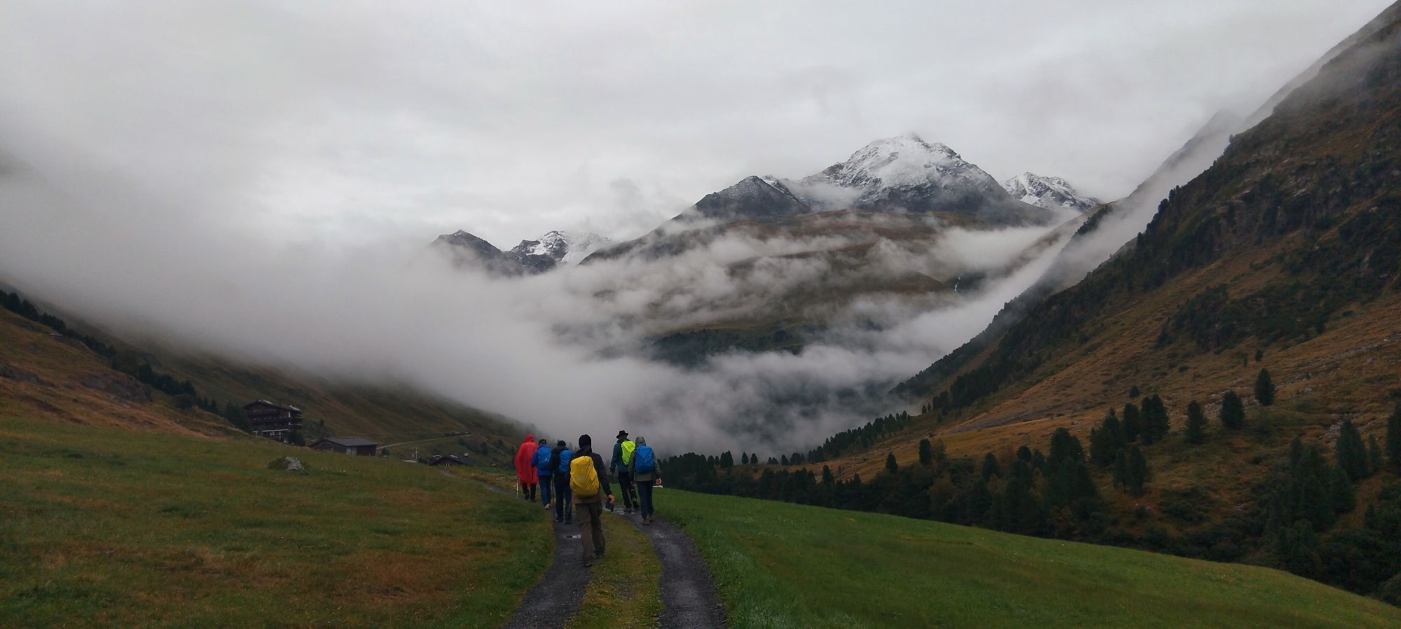
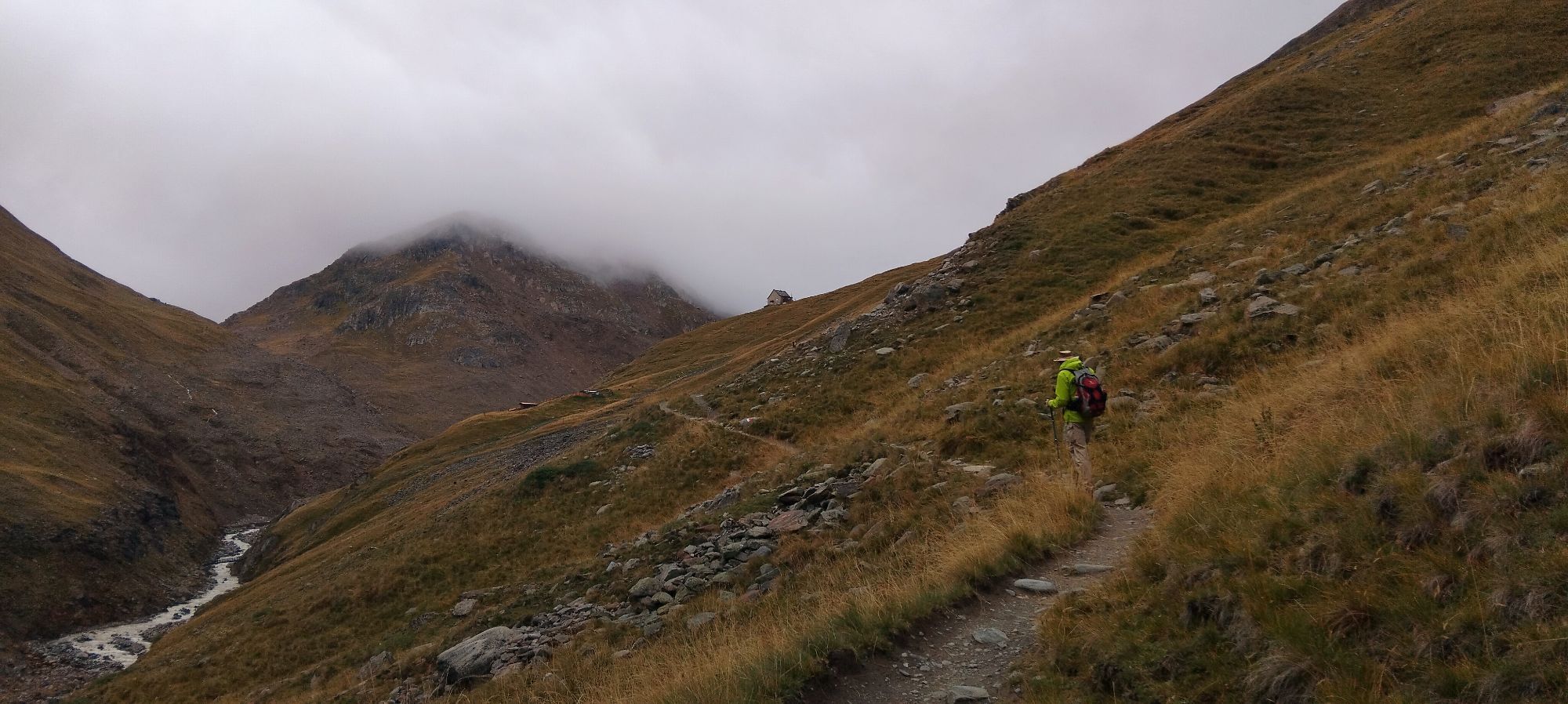
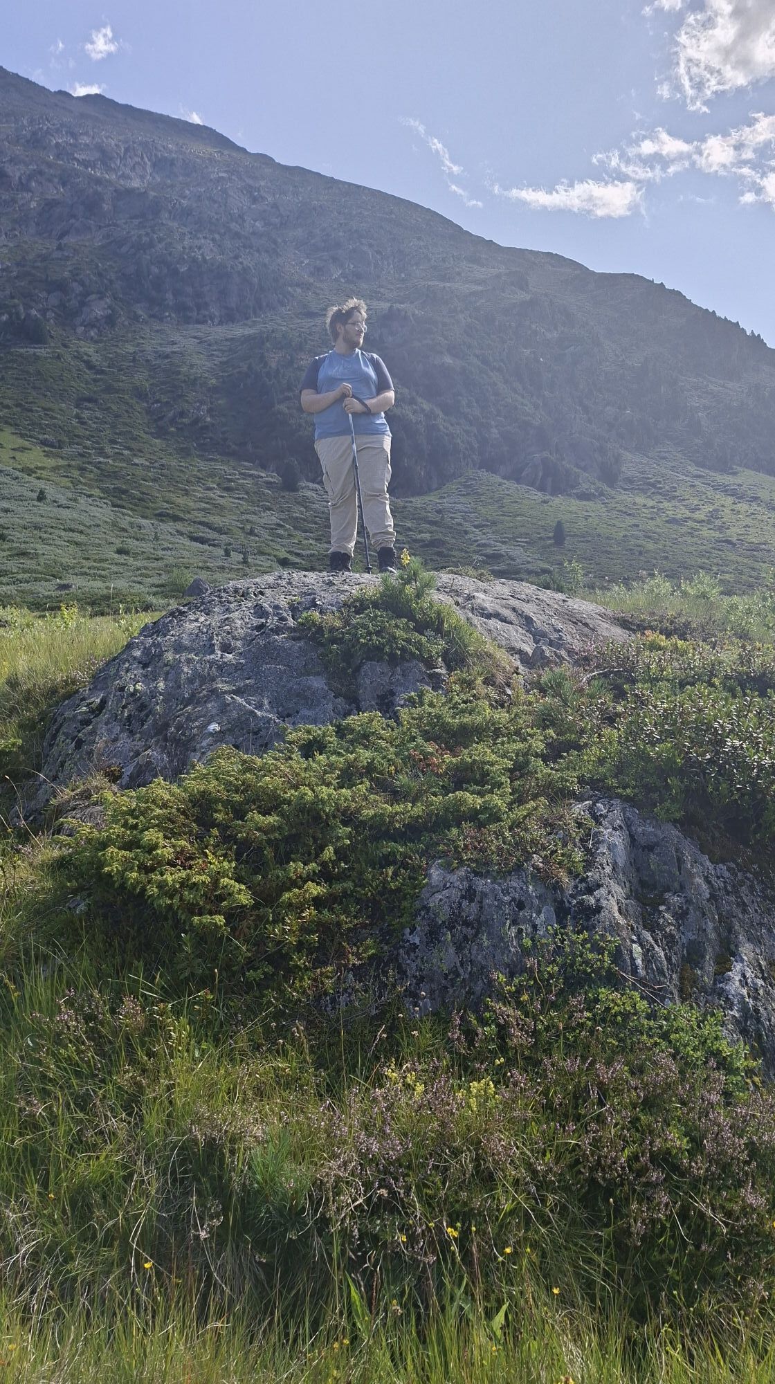
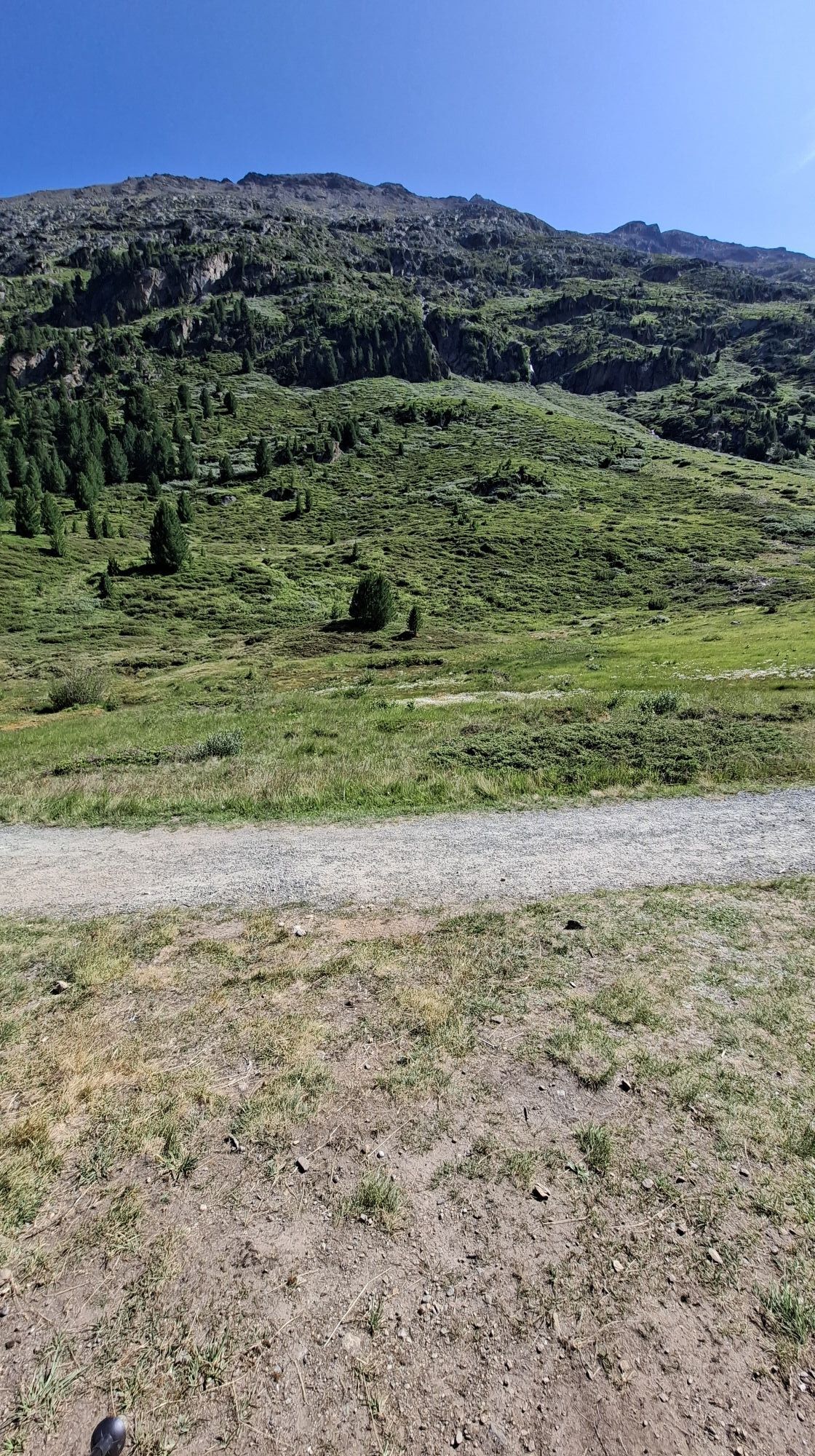
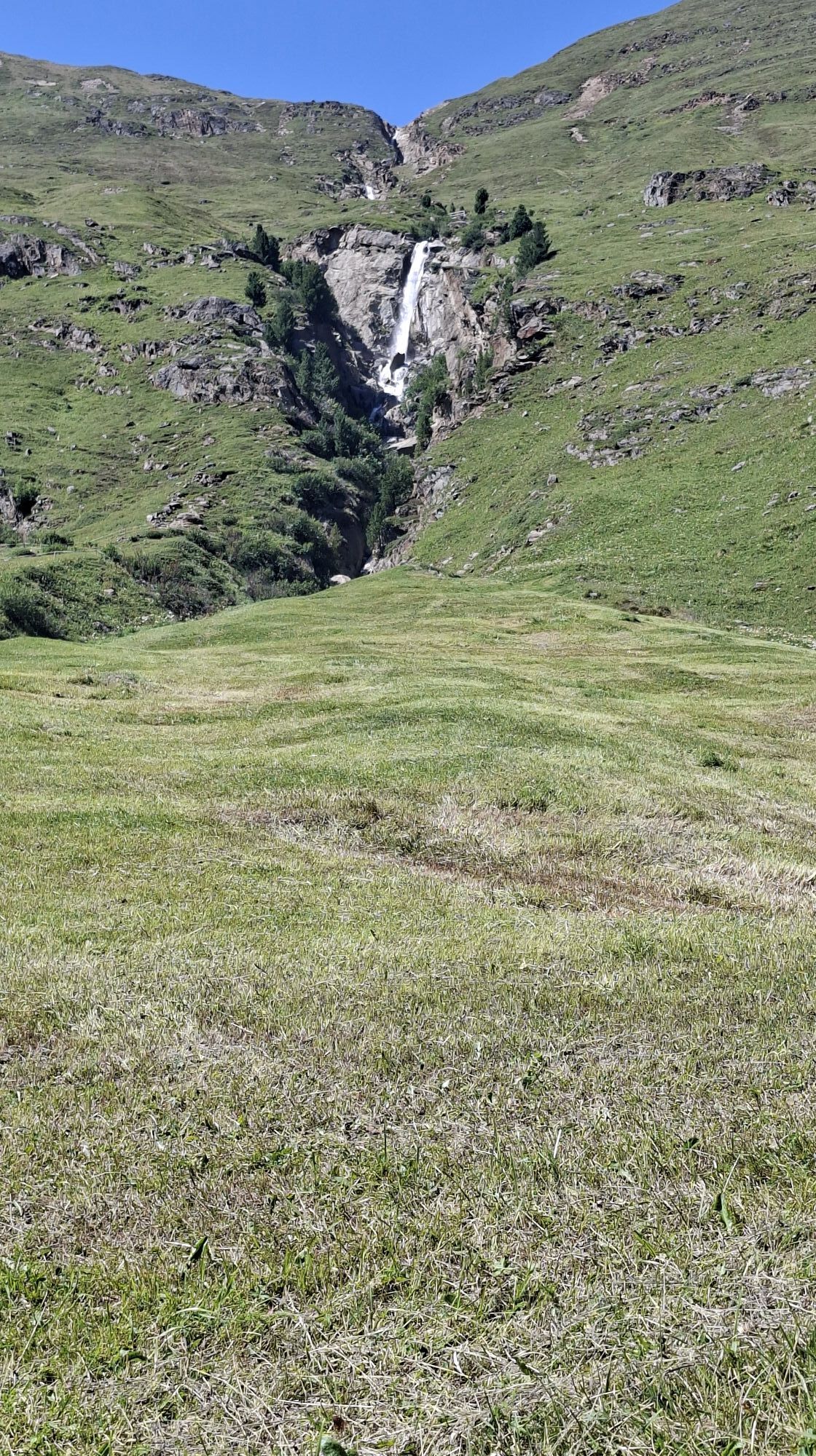
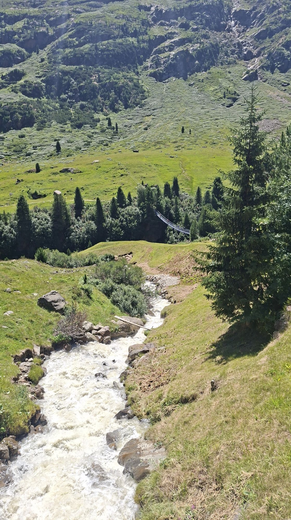
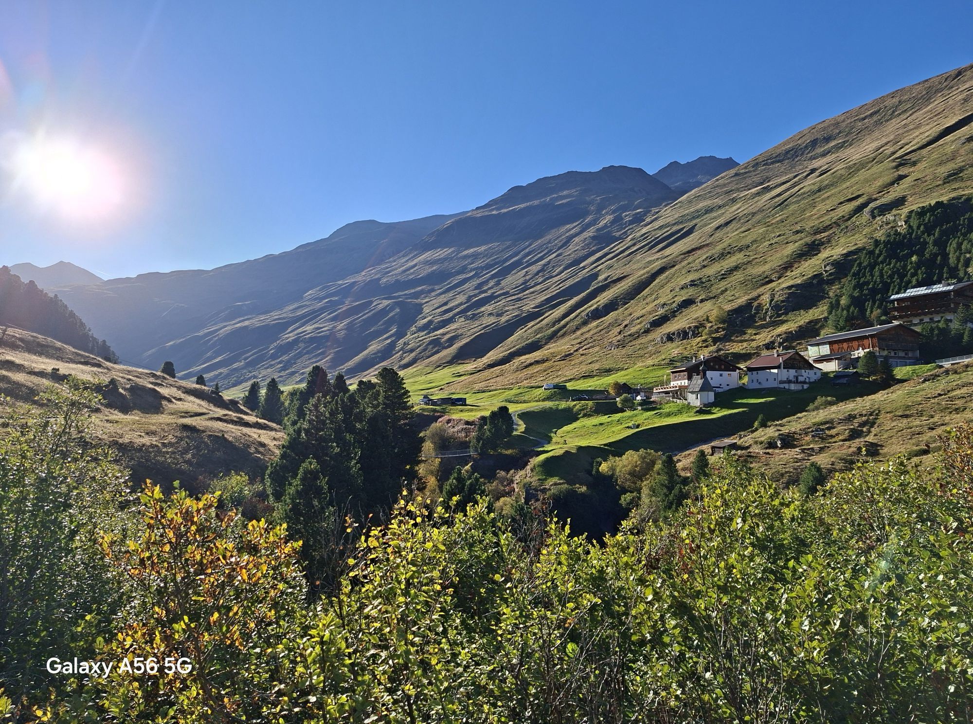
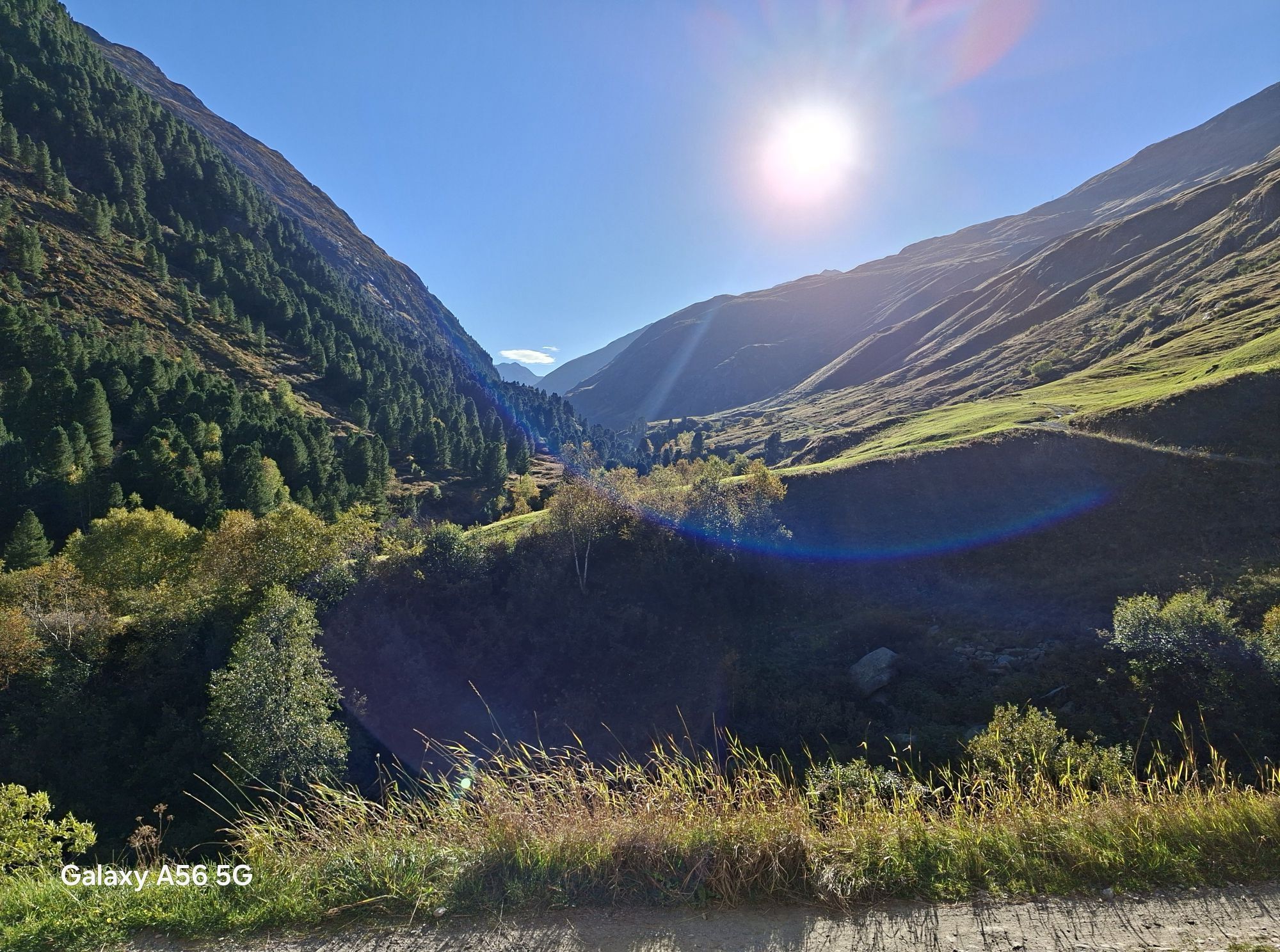
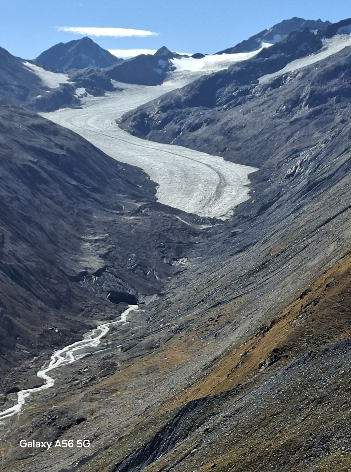

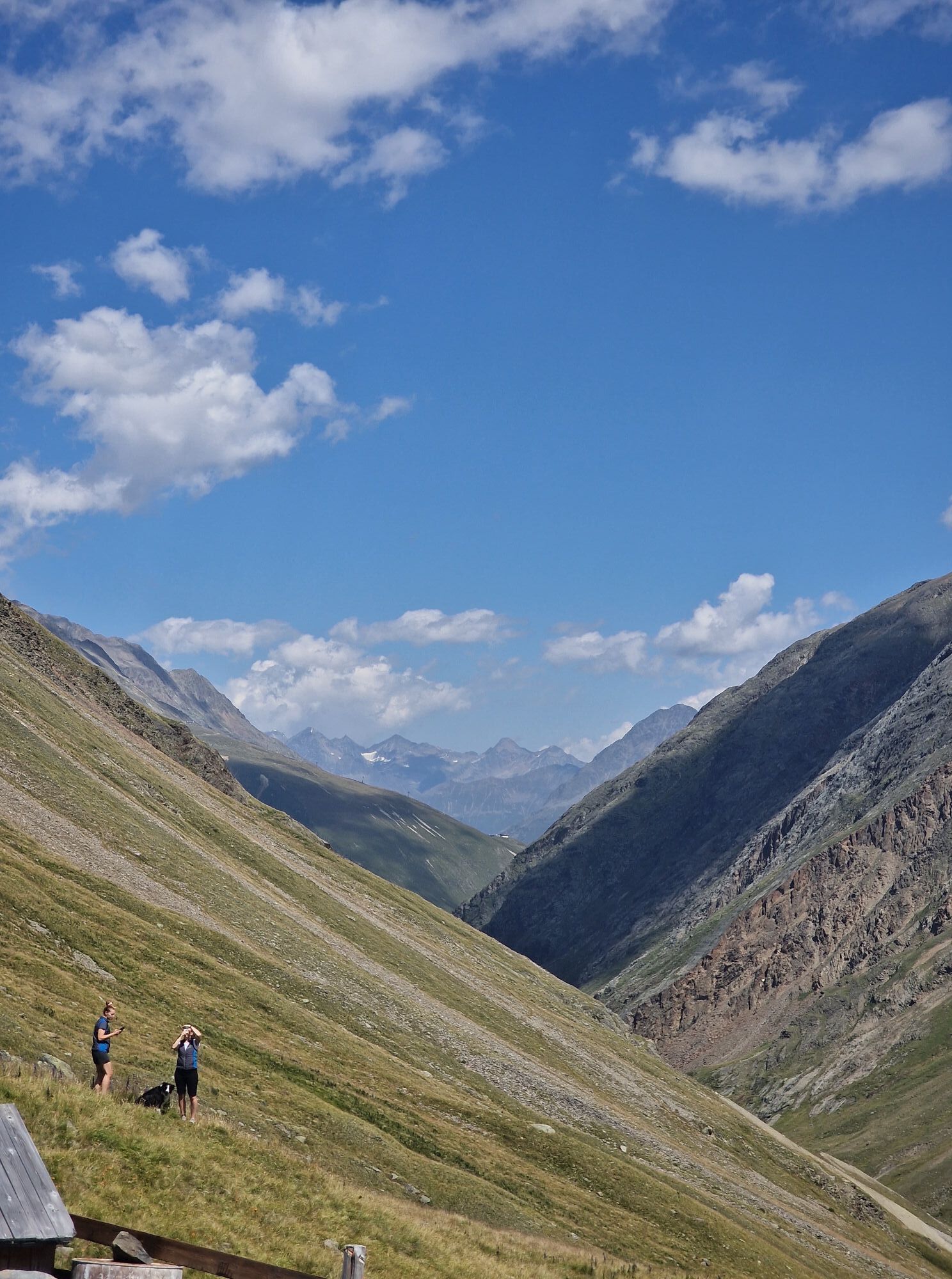
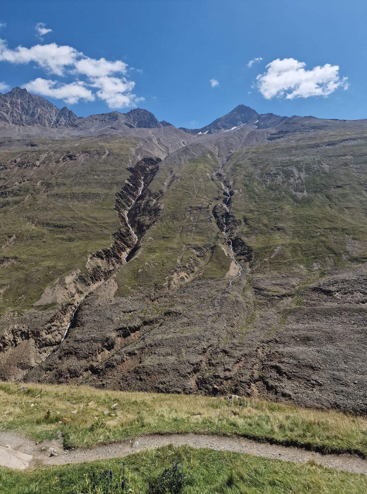
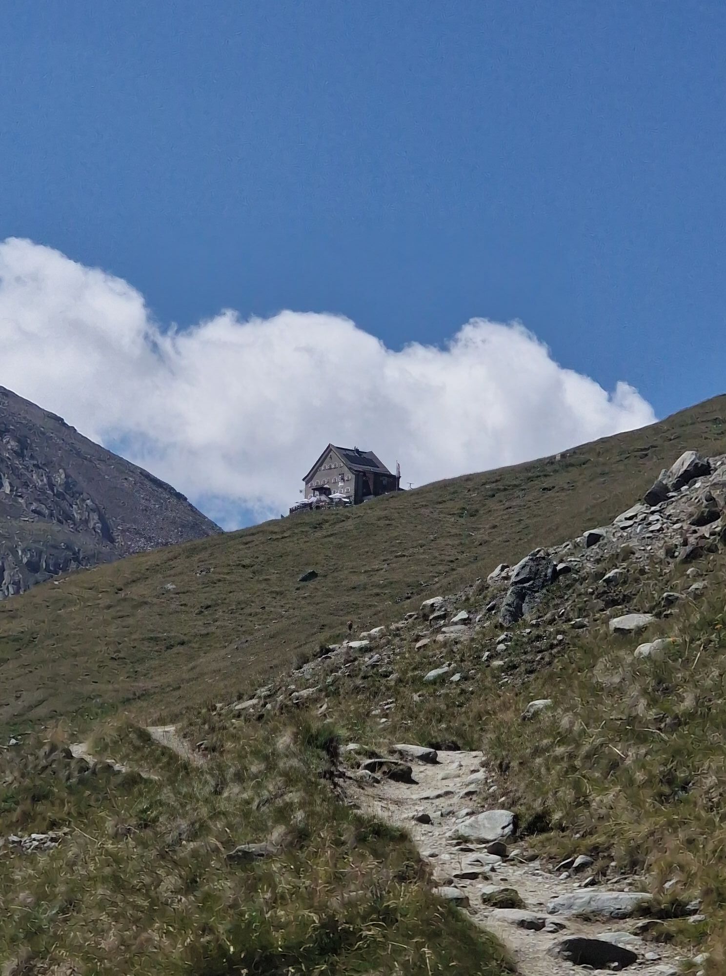
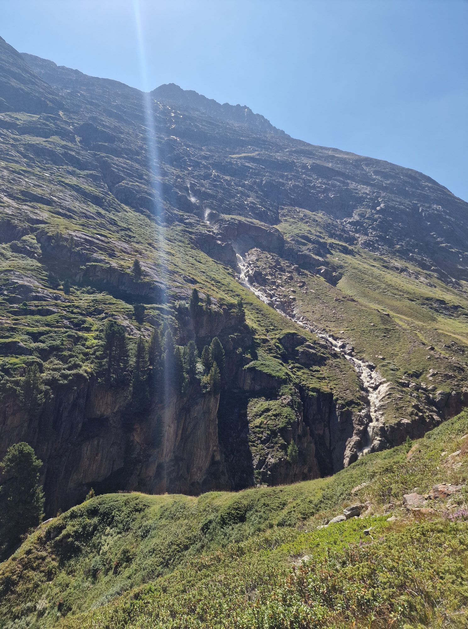
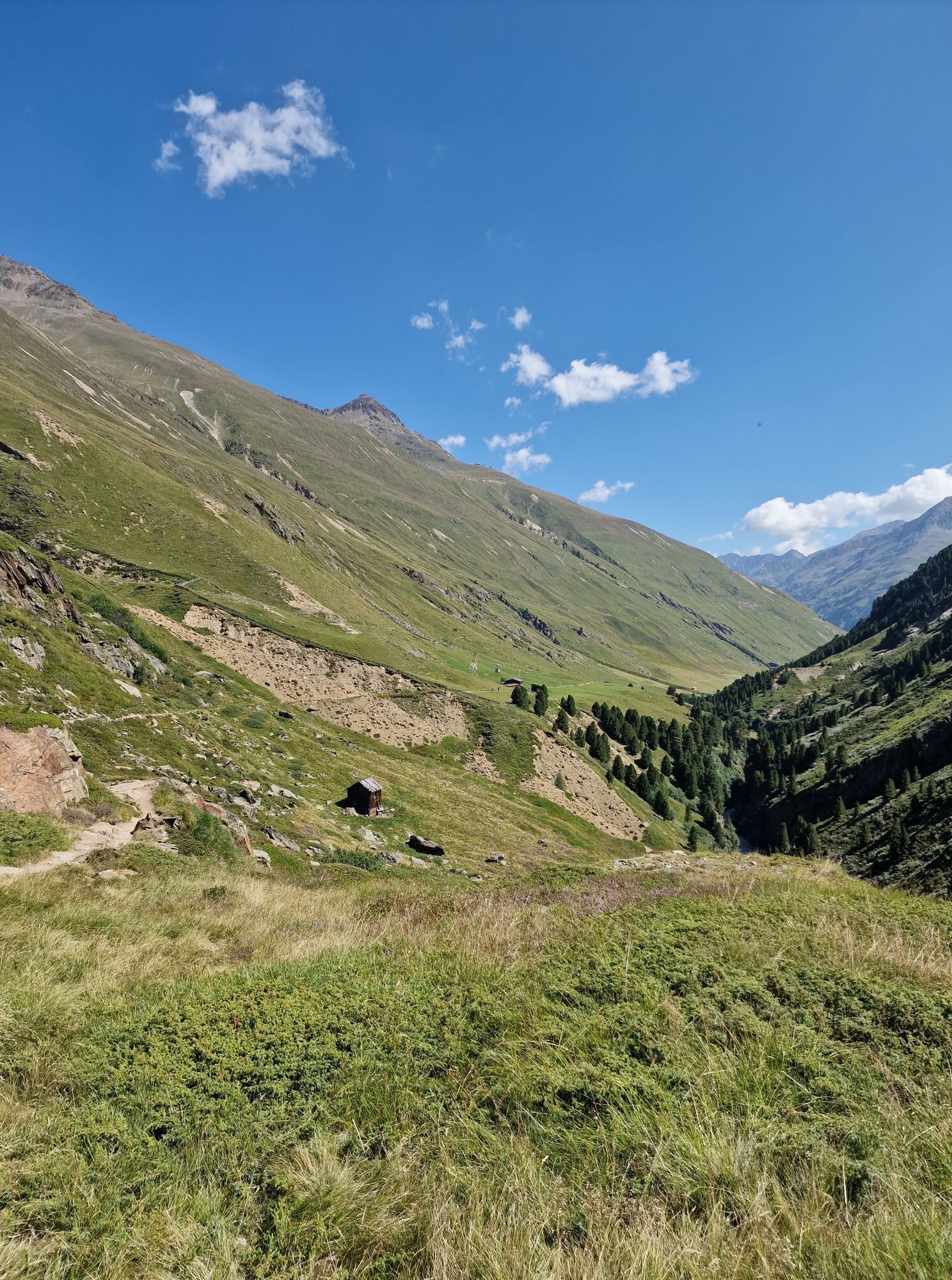
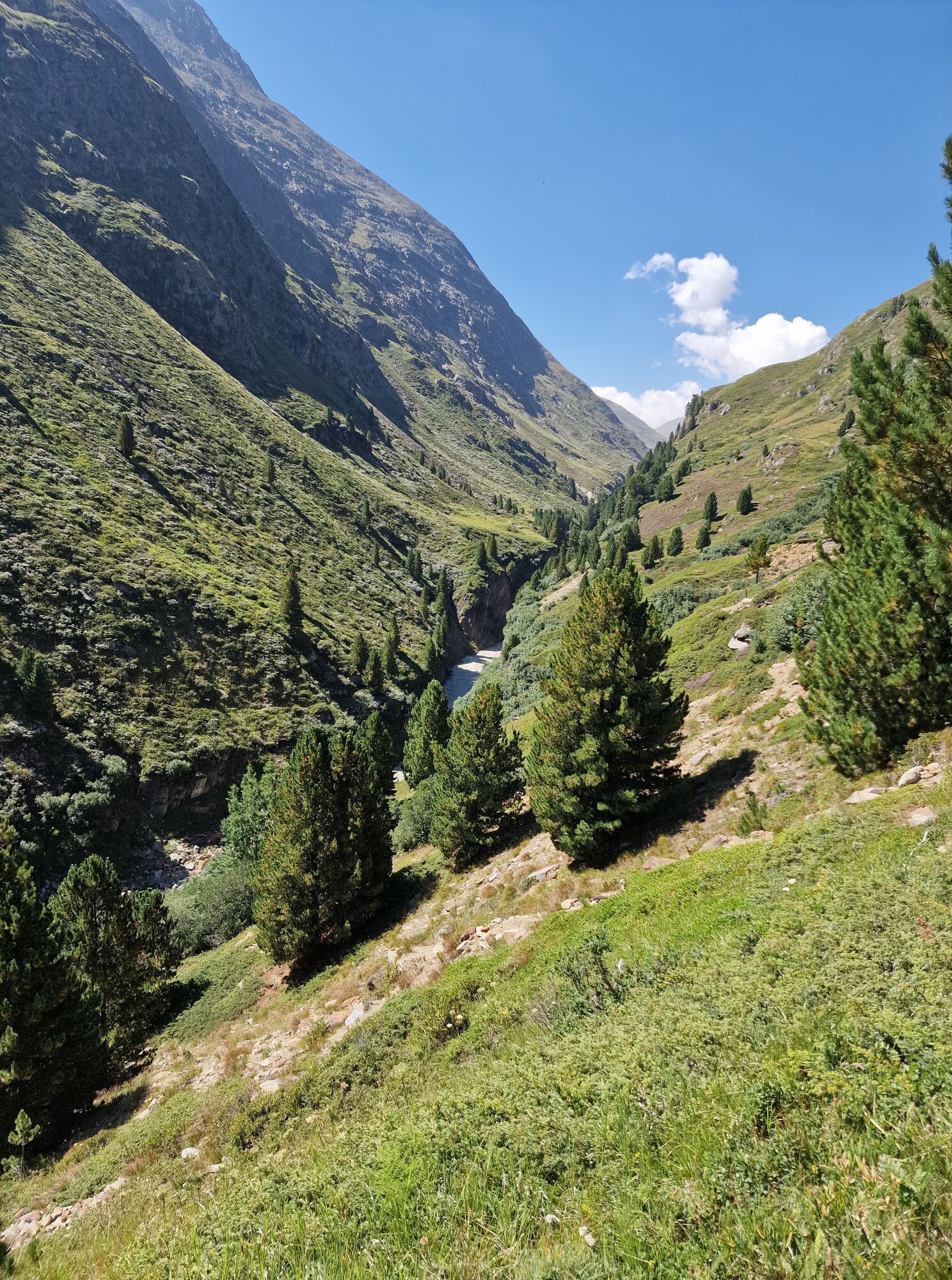
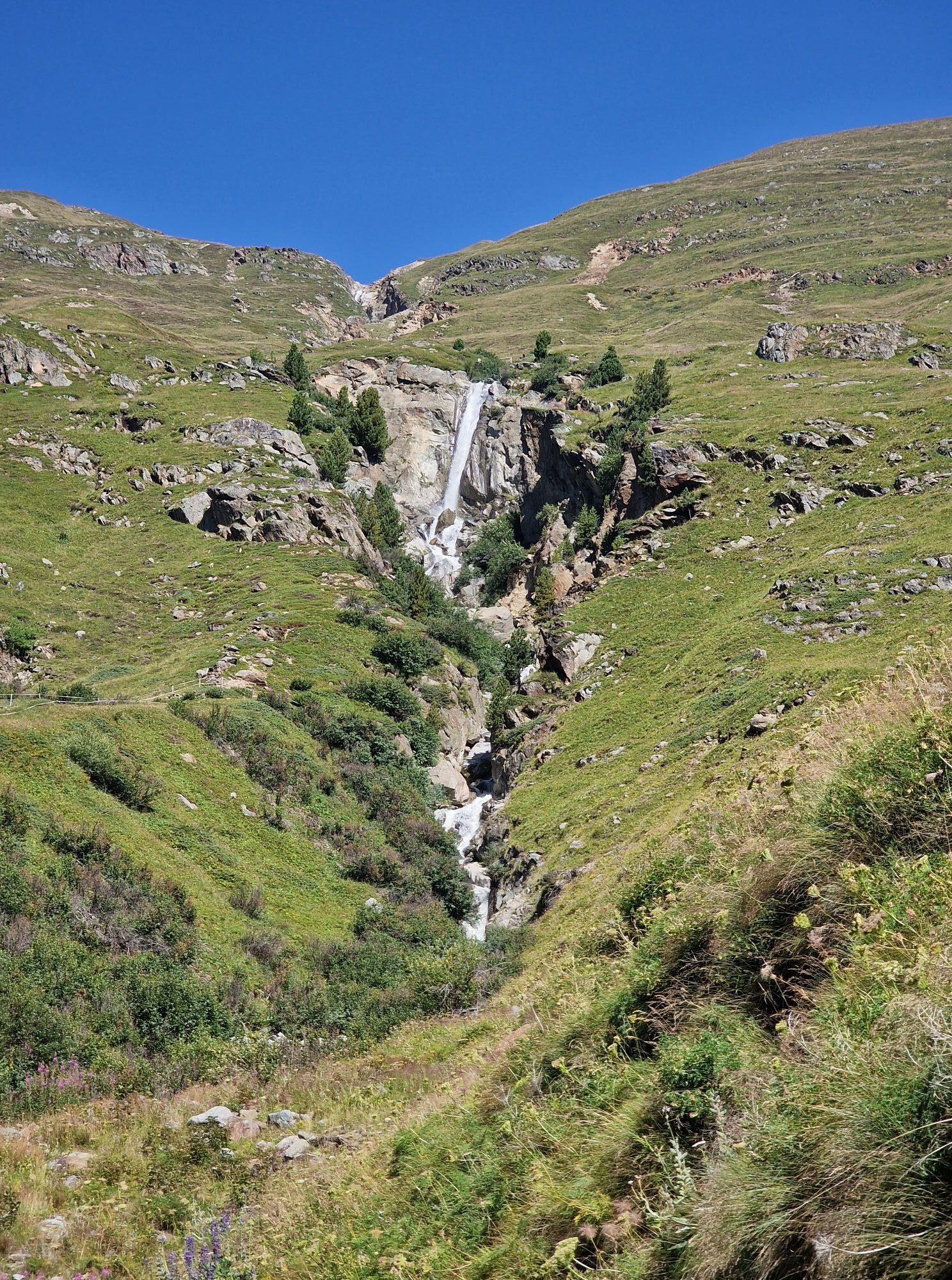
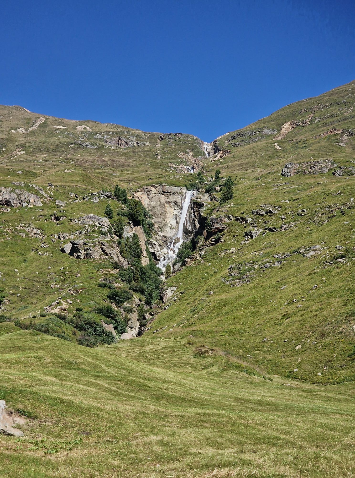
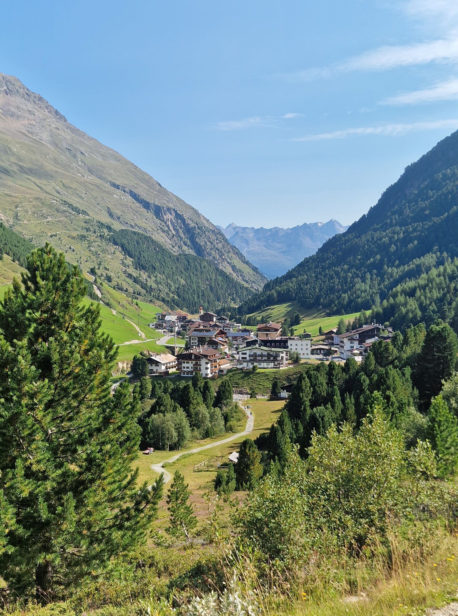
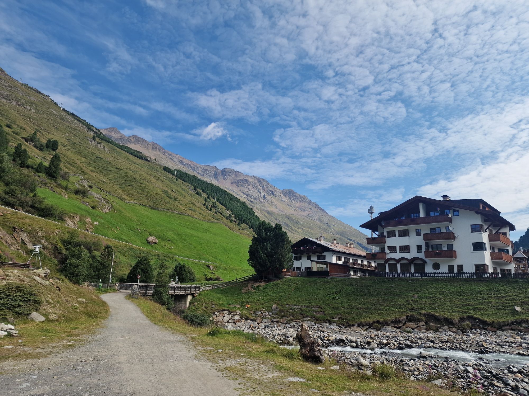
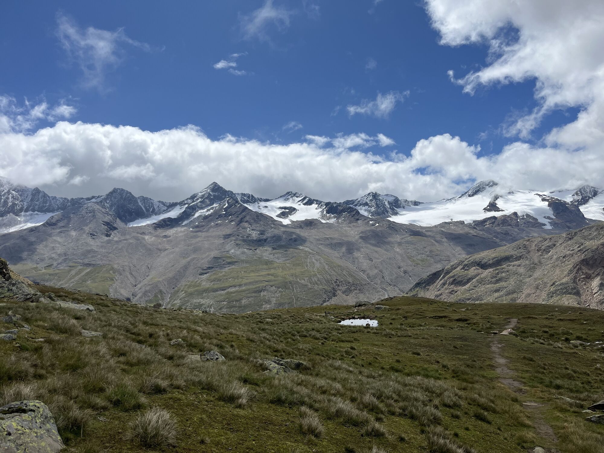
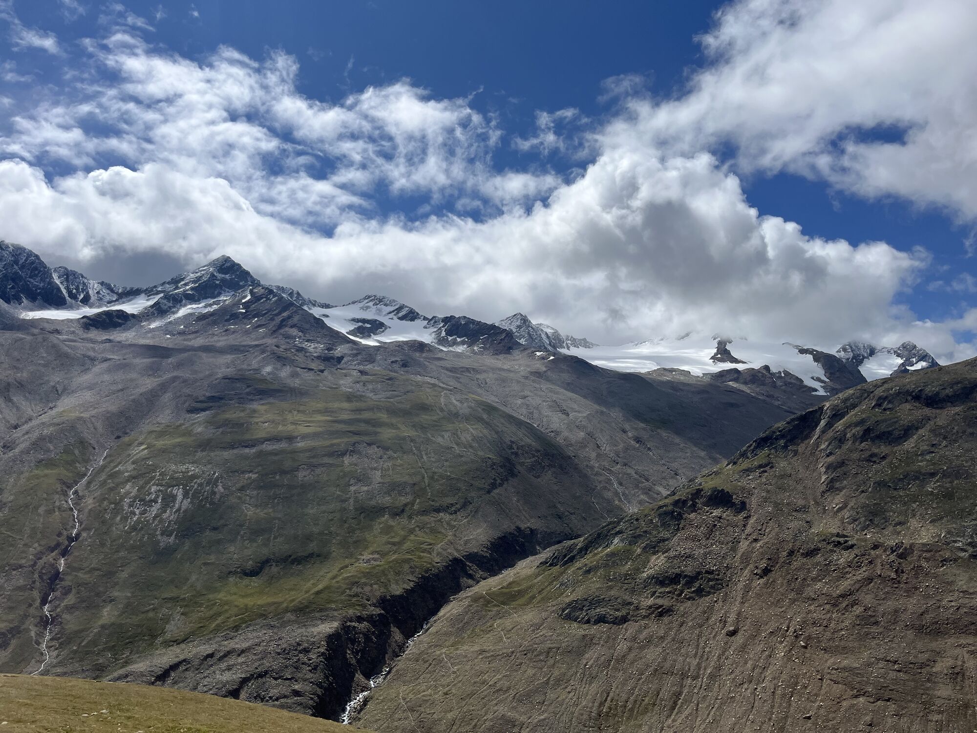
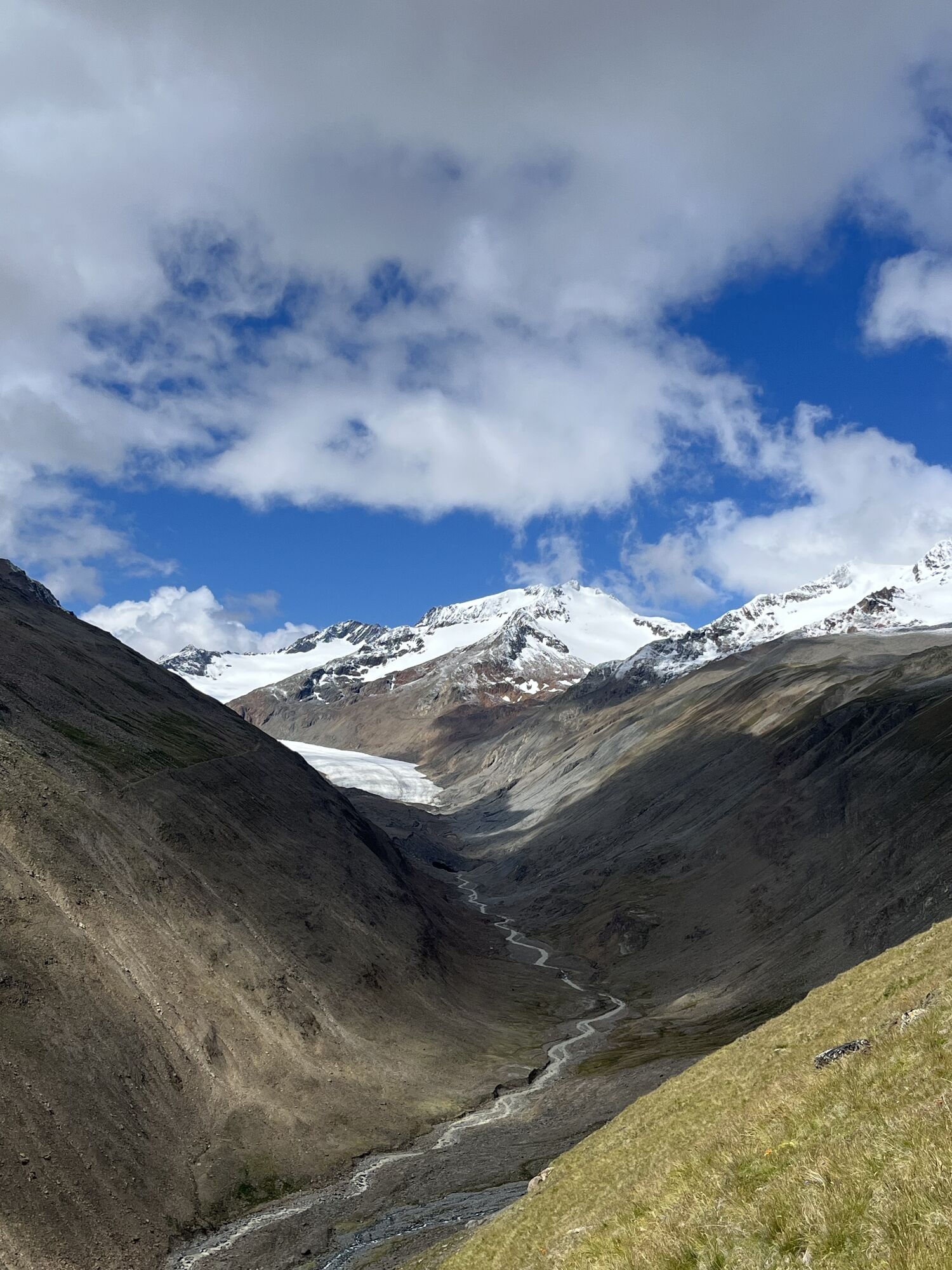
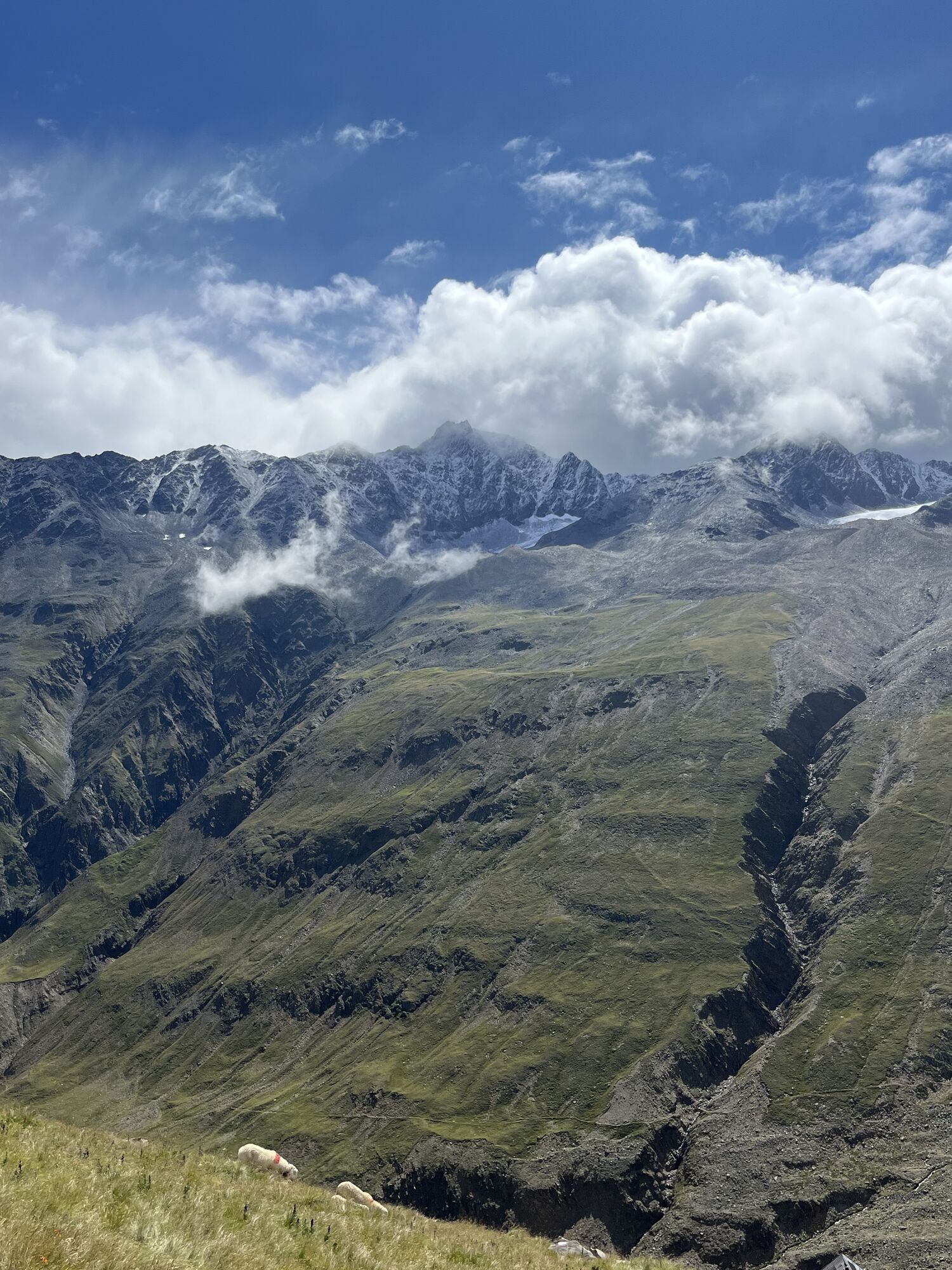
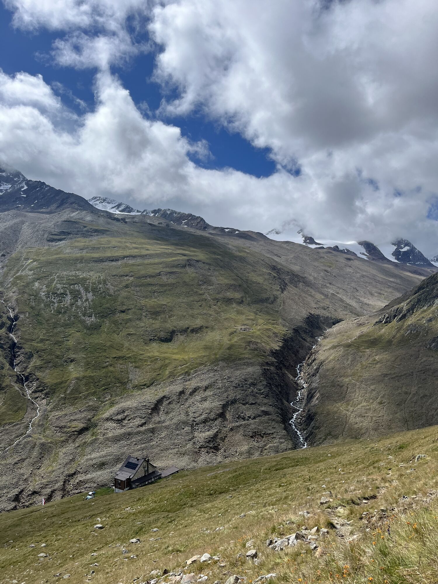
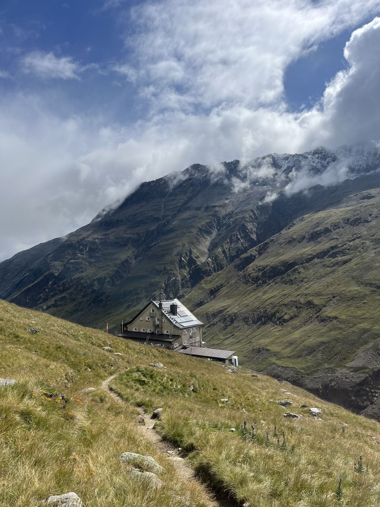
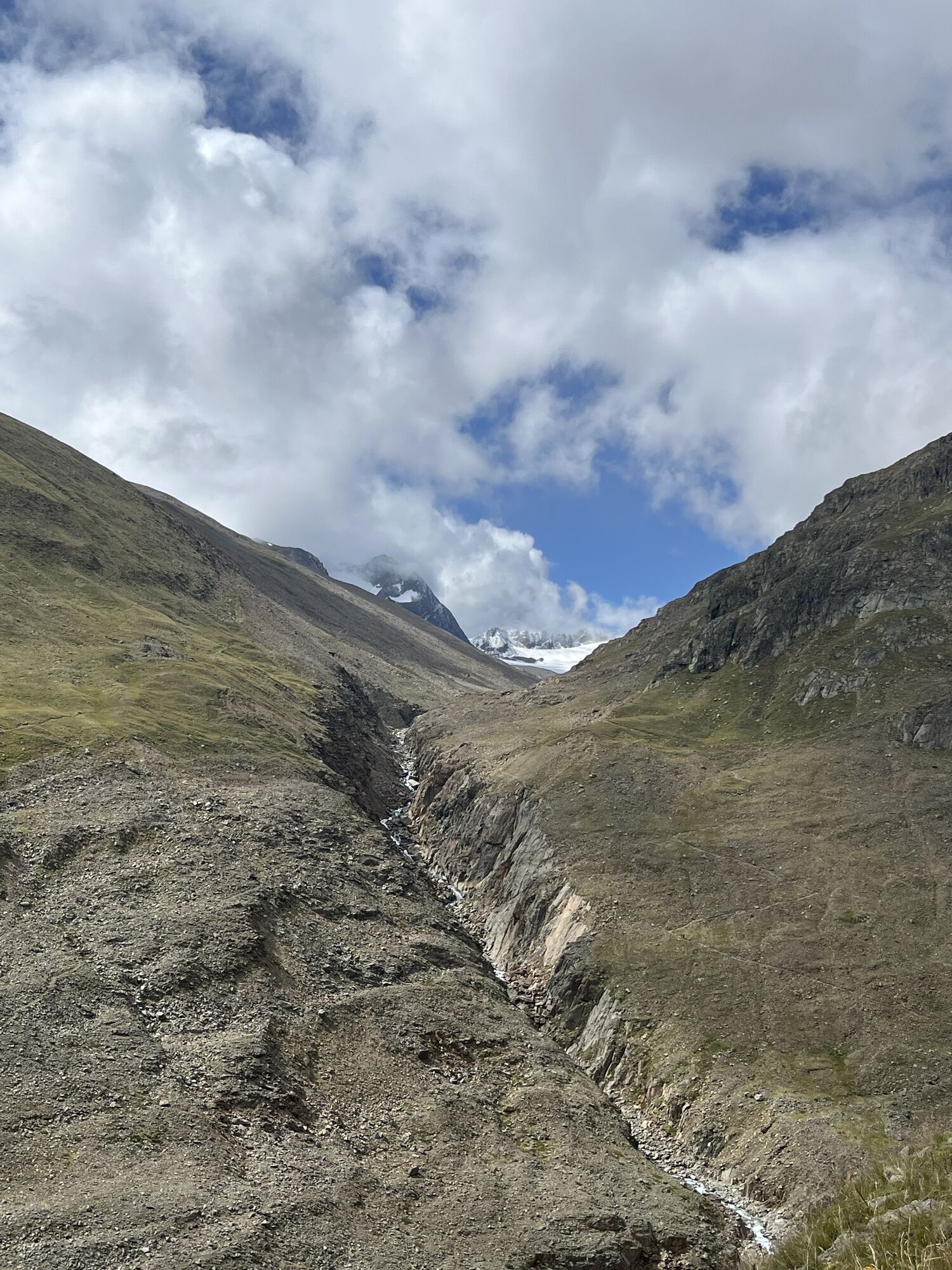
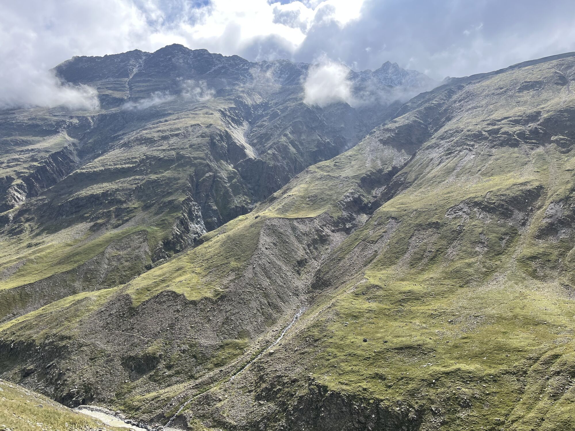
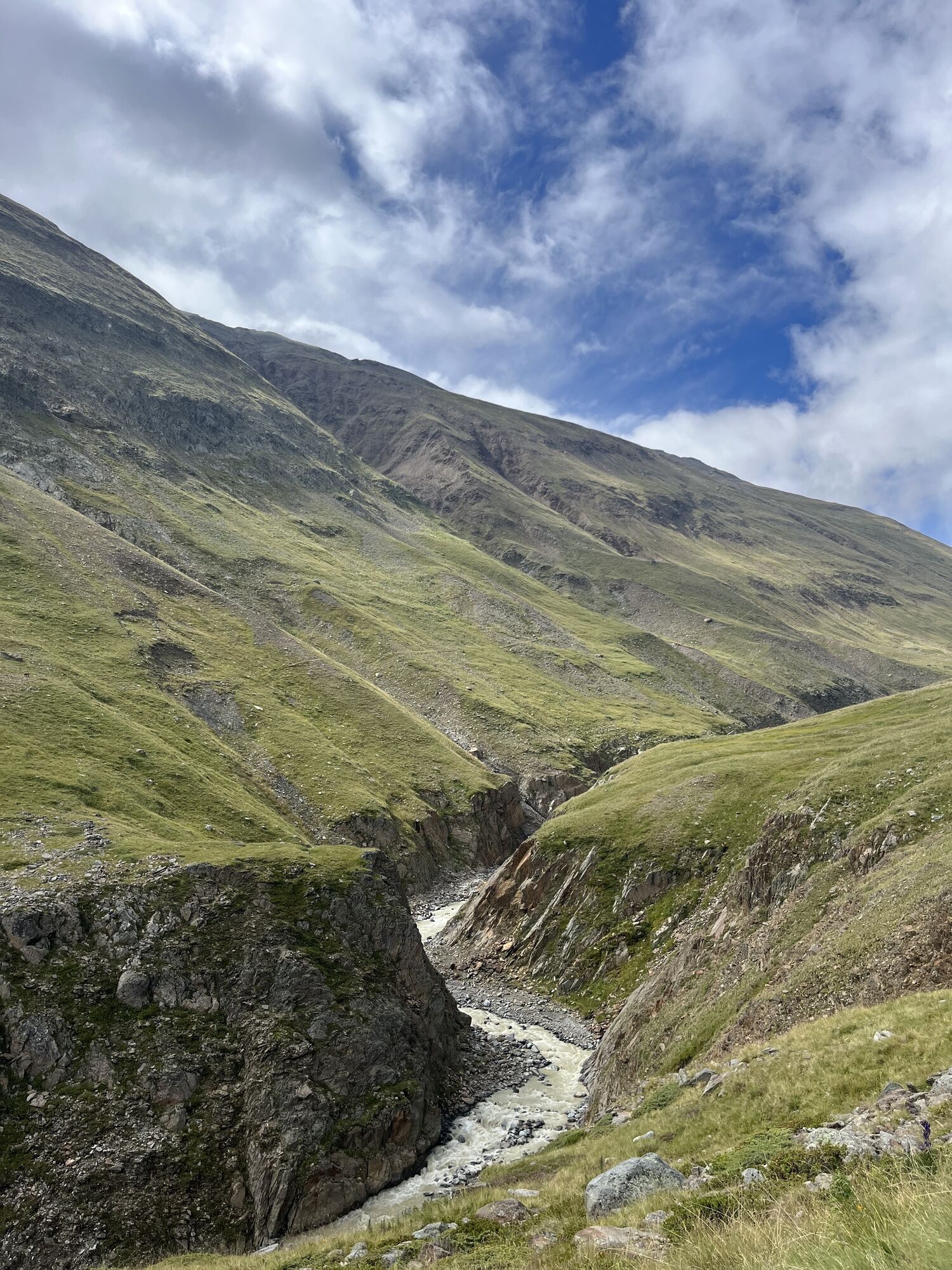
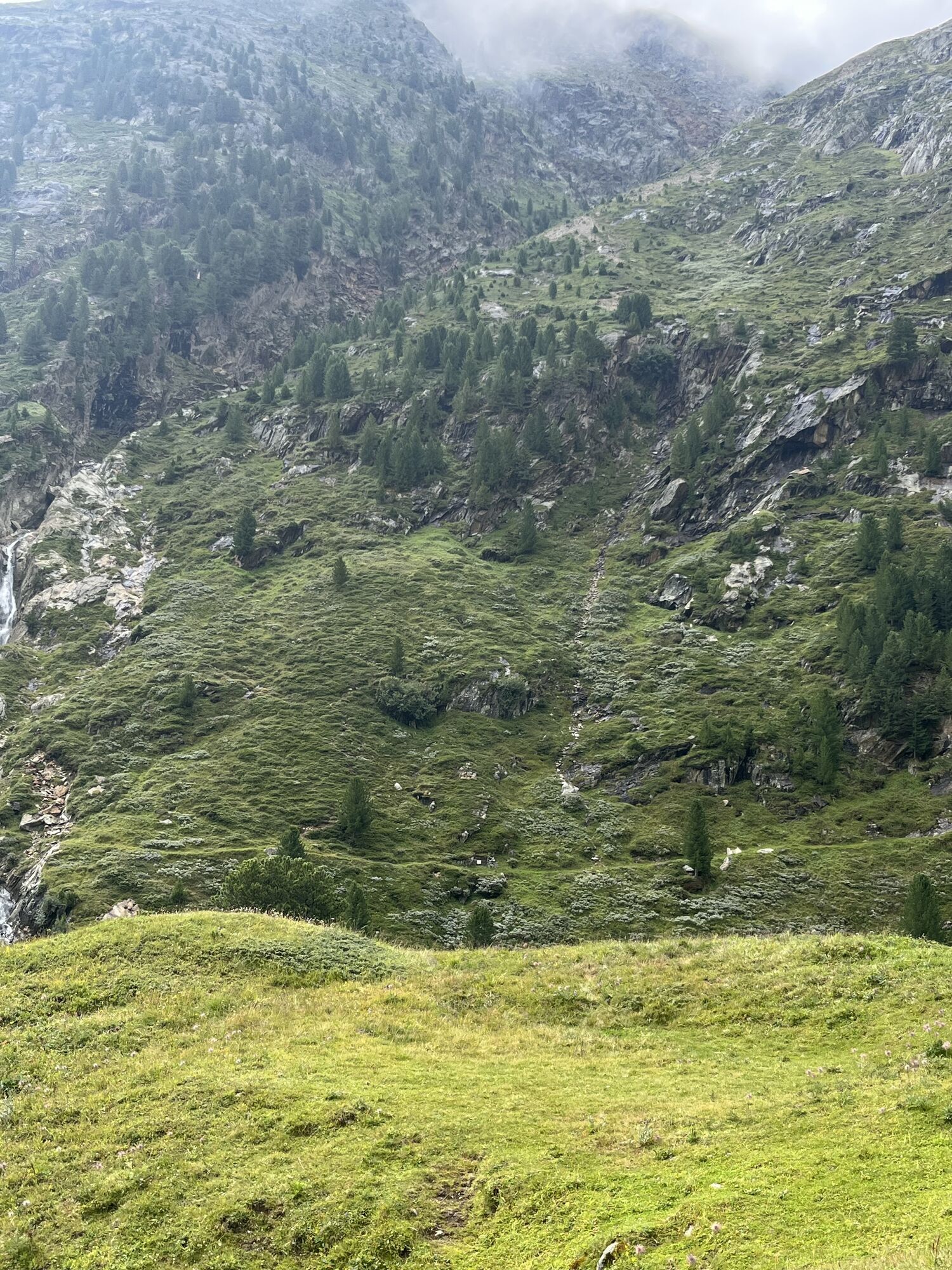
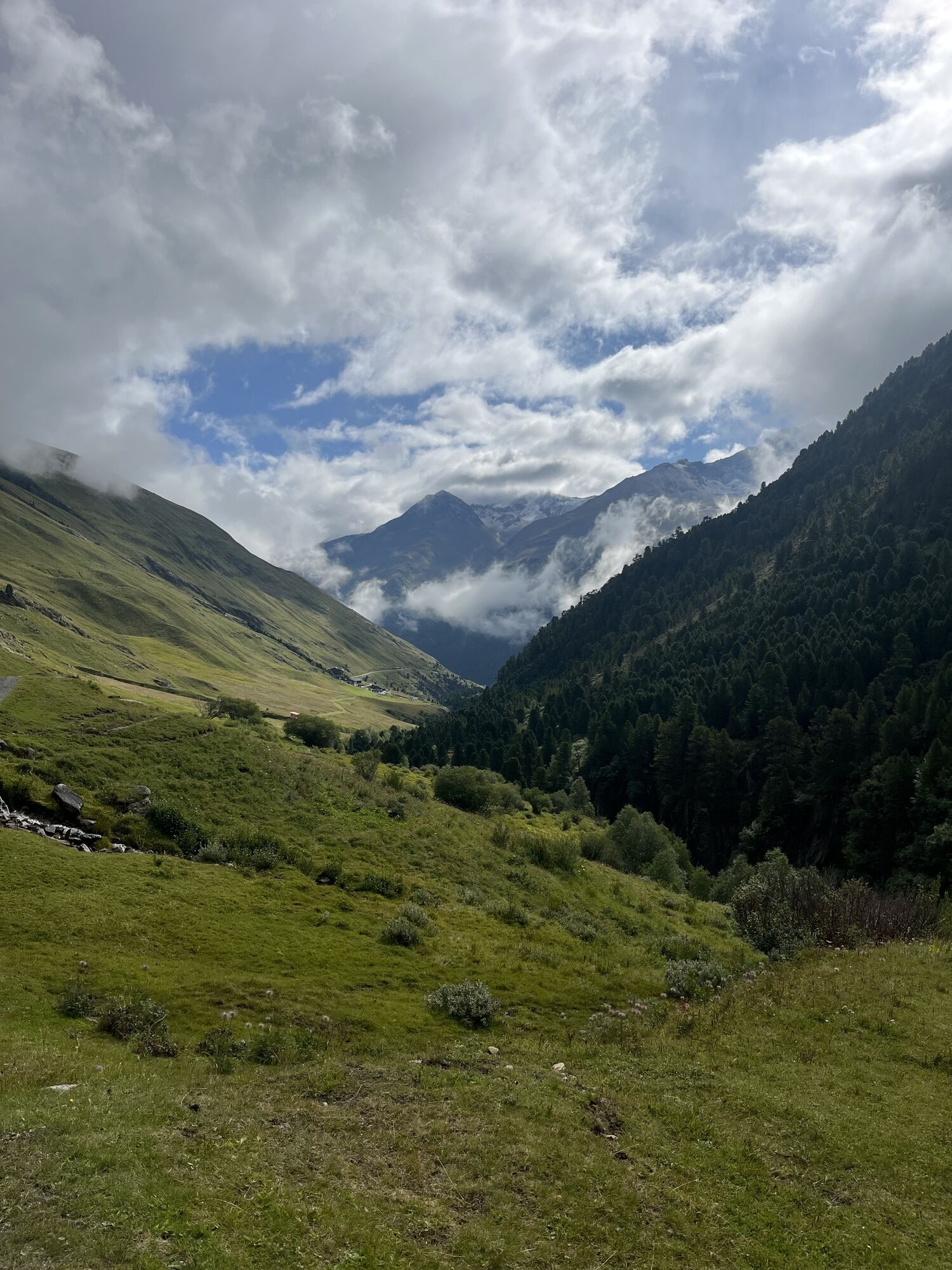
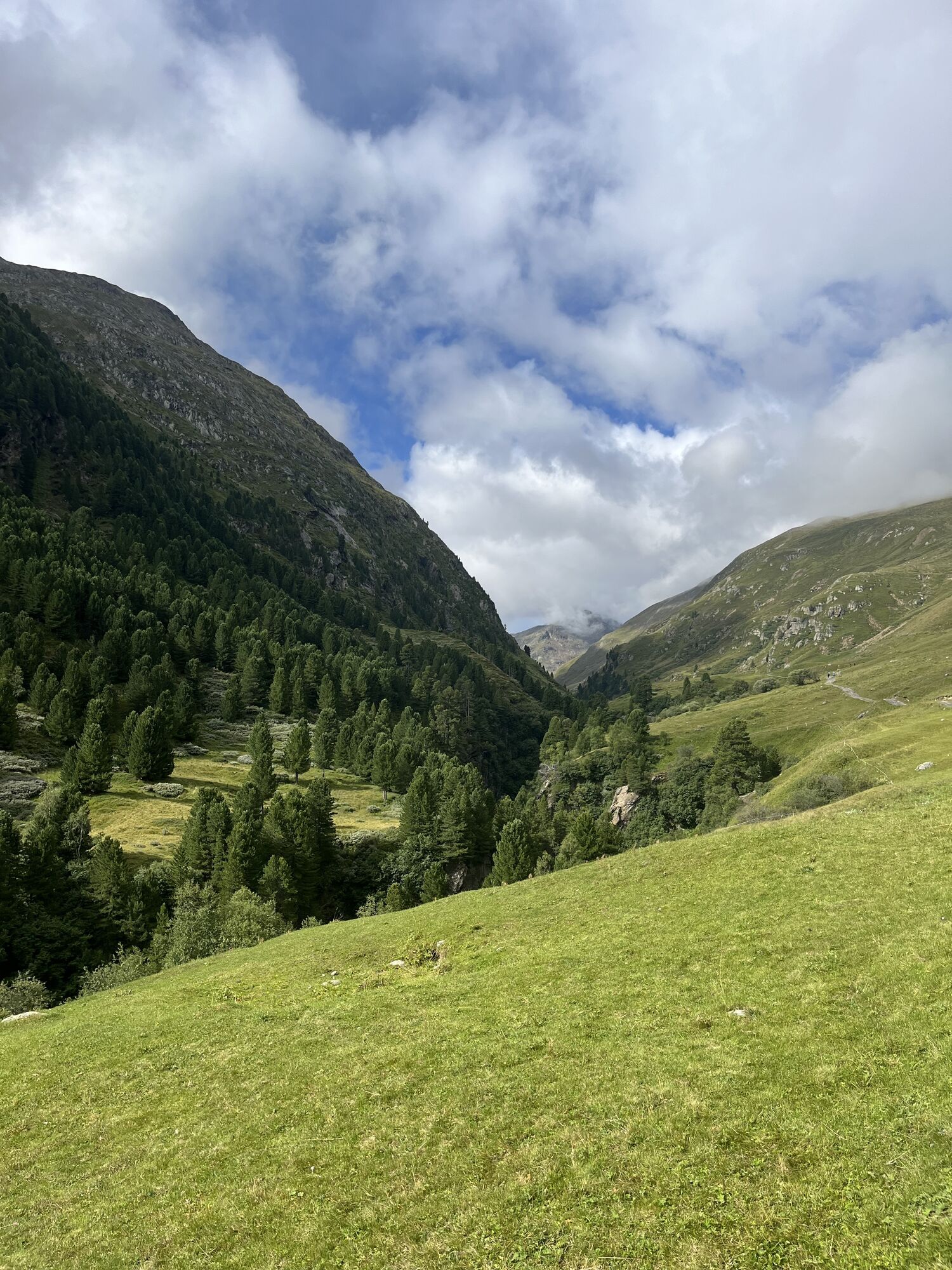
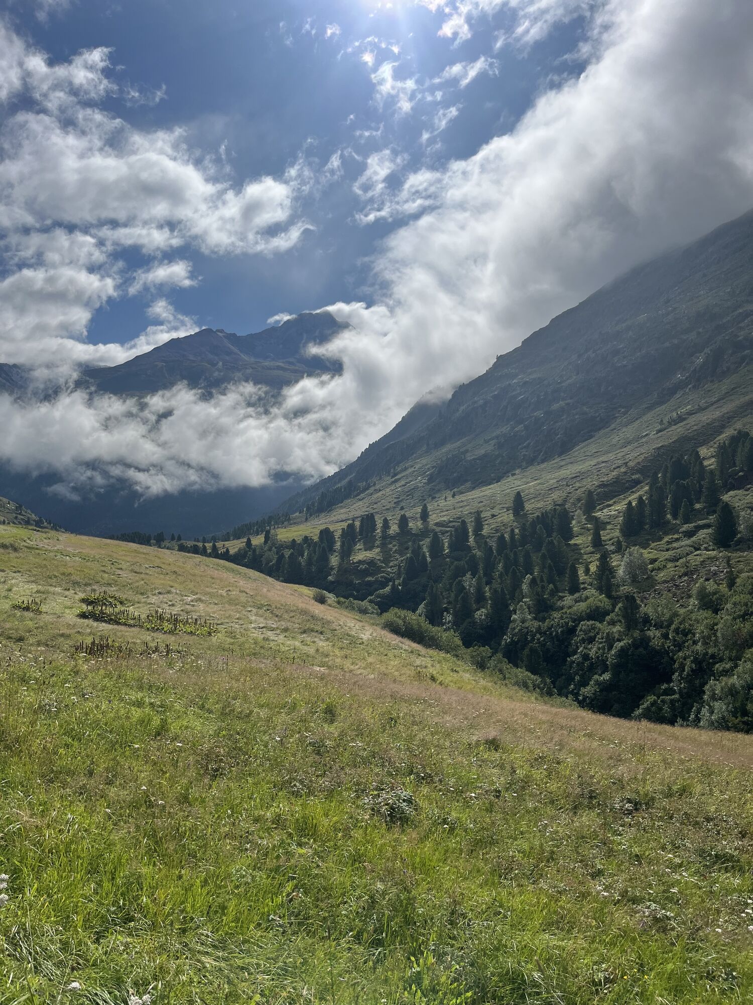
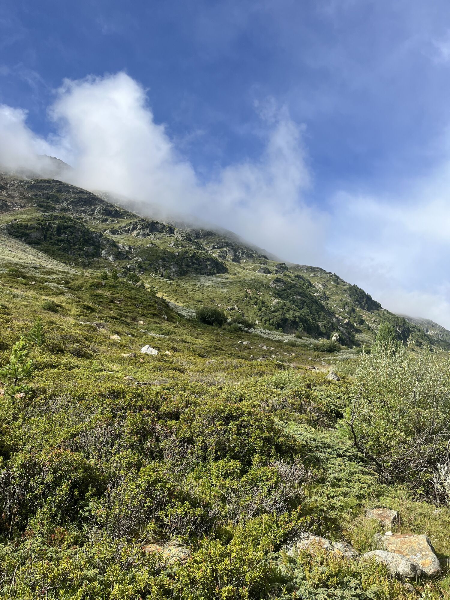
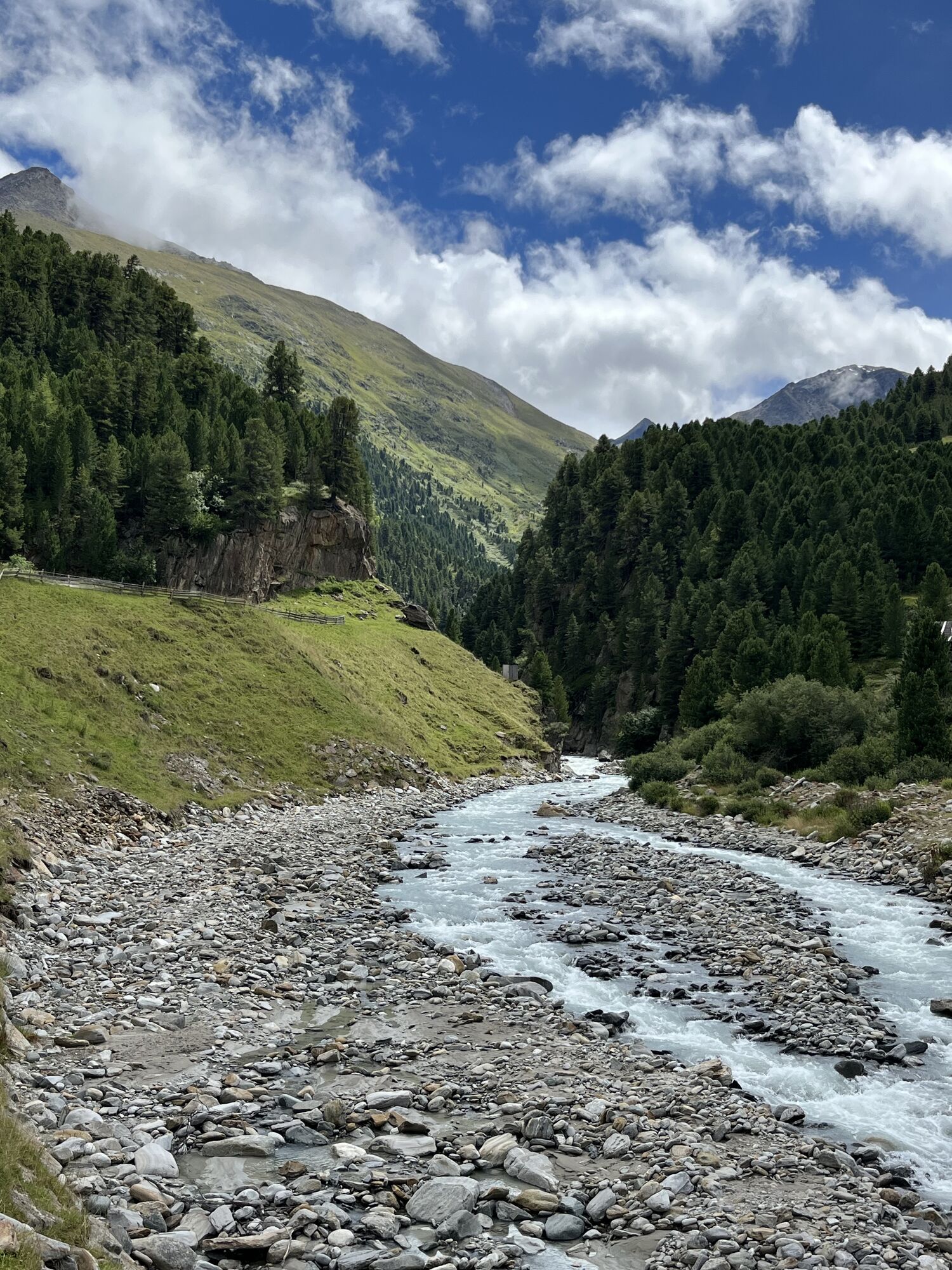
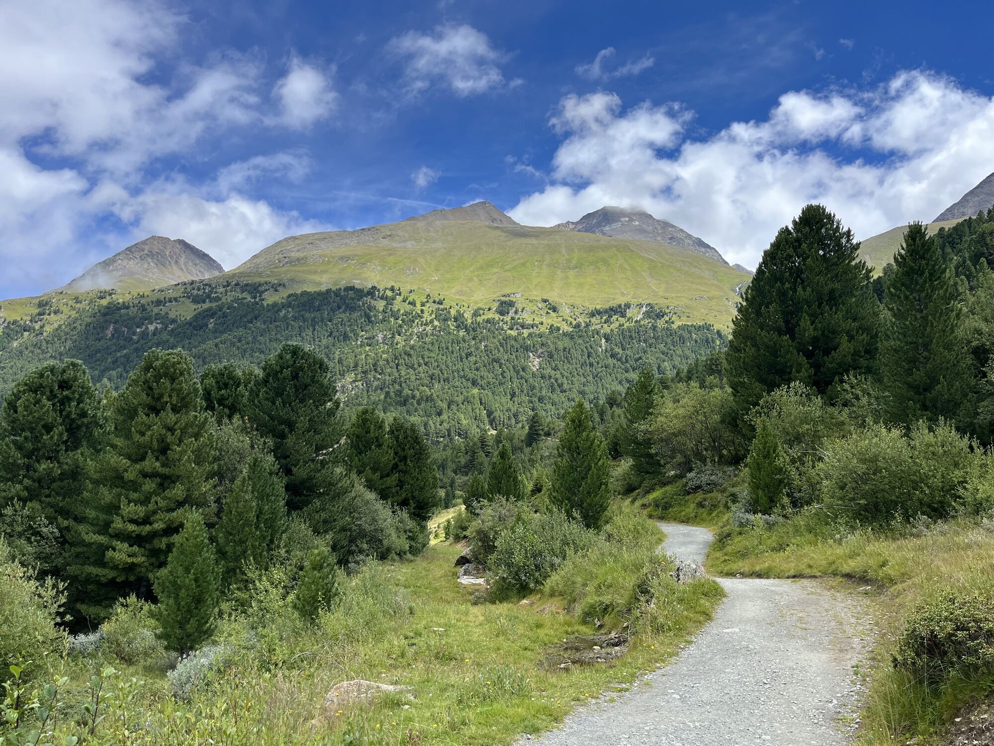
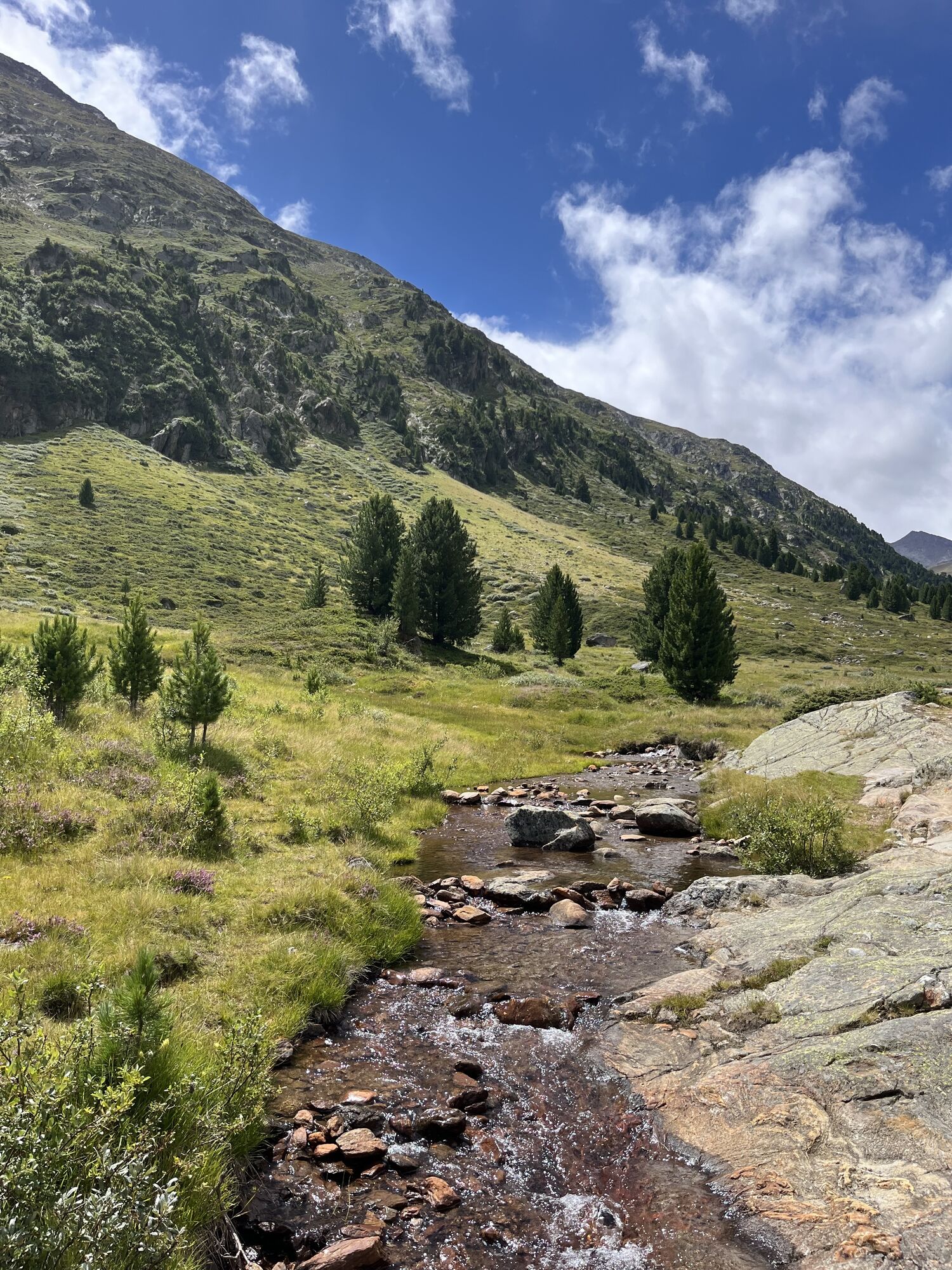
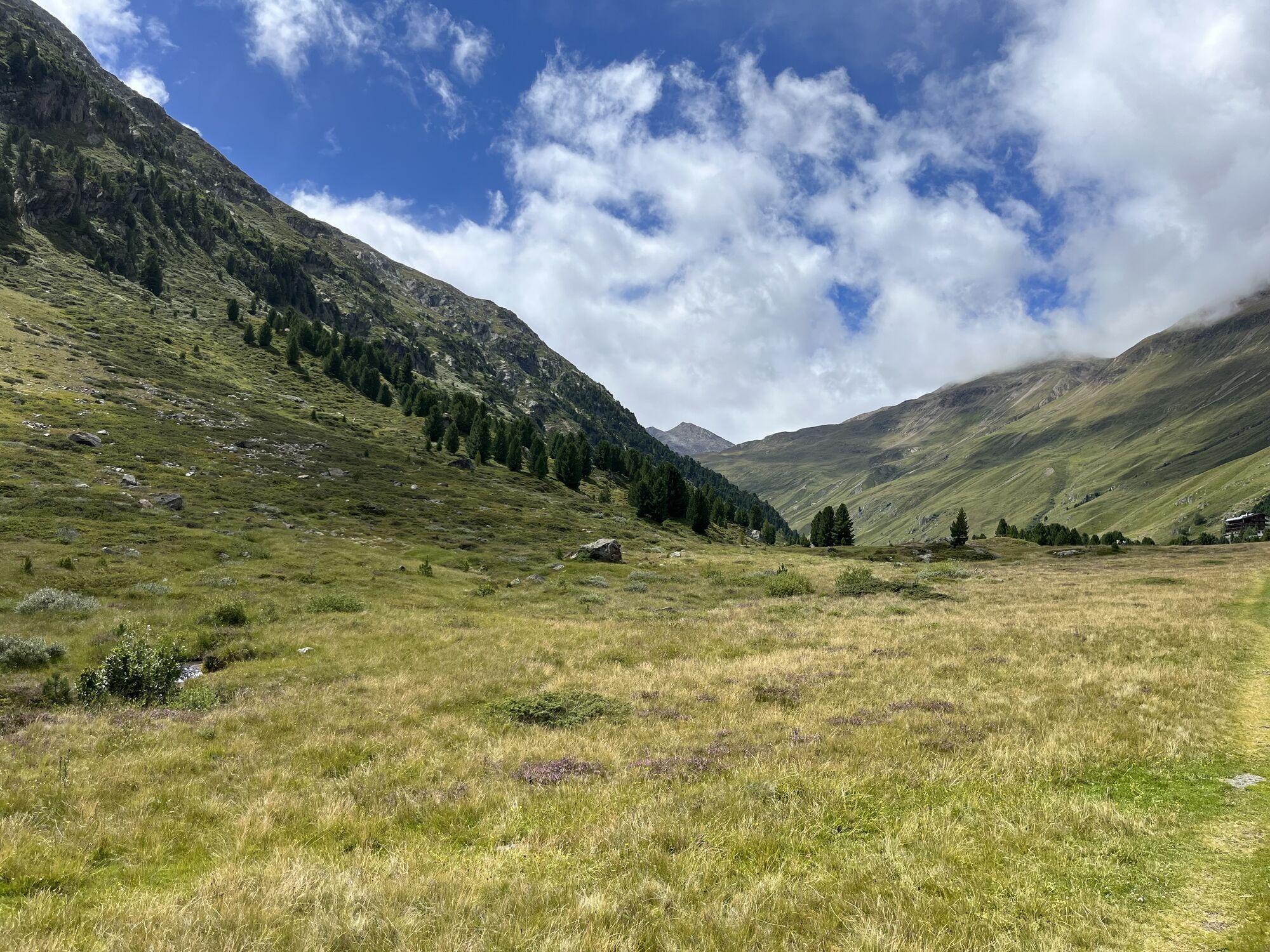
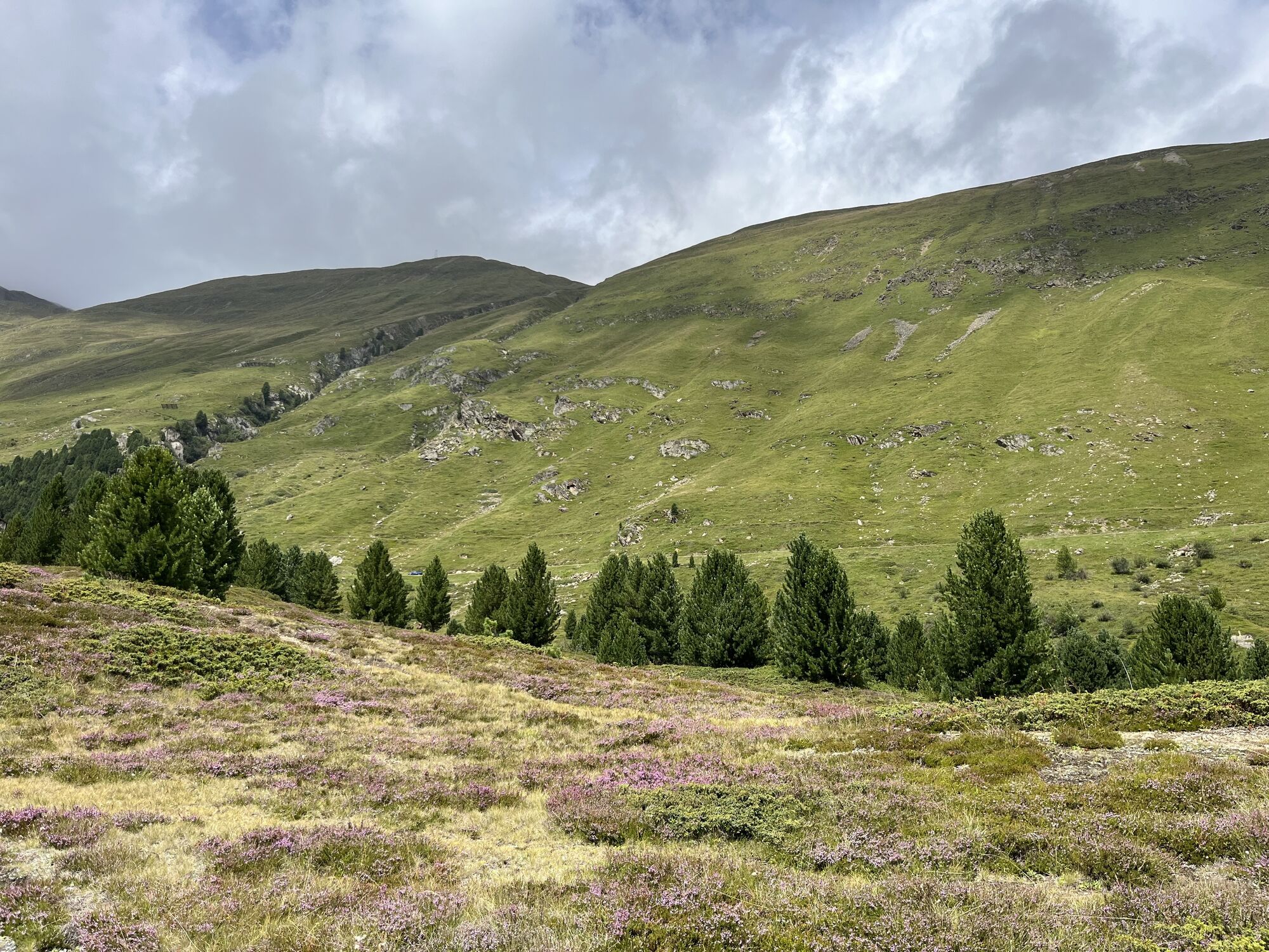
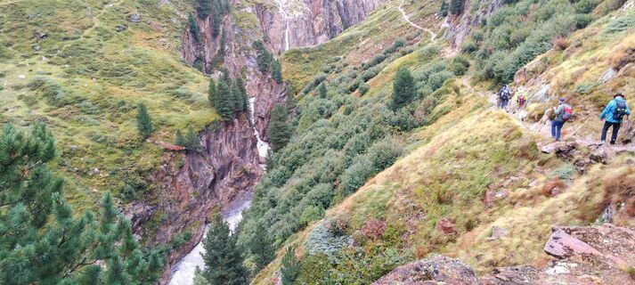
From Vent over the meadows and the suspension bridge to Rofen. From there continue to the material cable car of the Vernagthütte and further through the impressive Rofner Gorge on a path that first ascends...
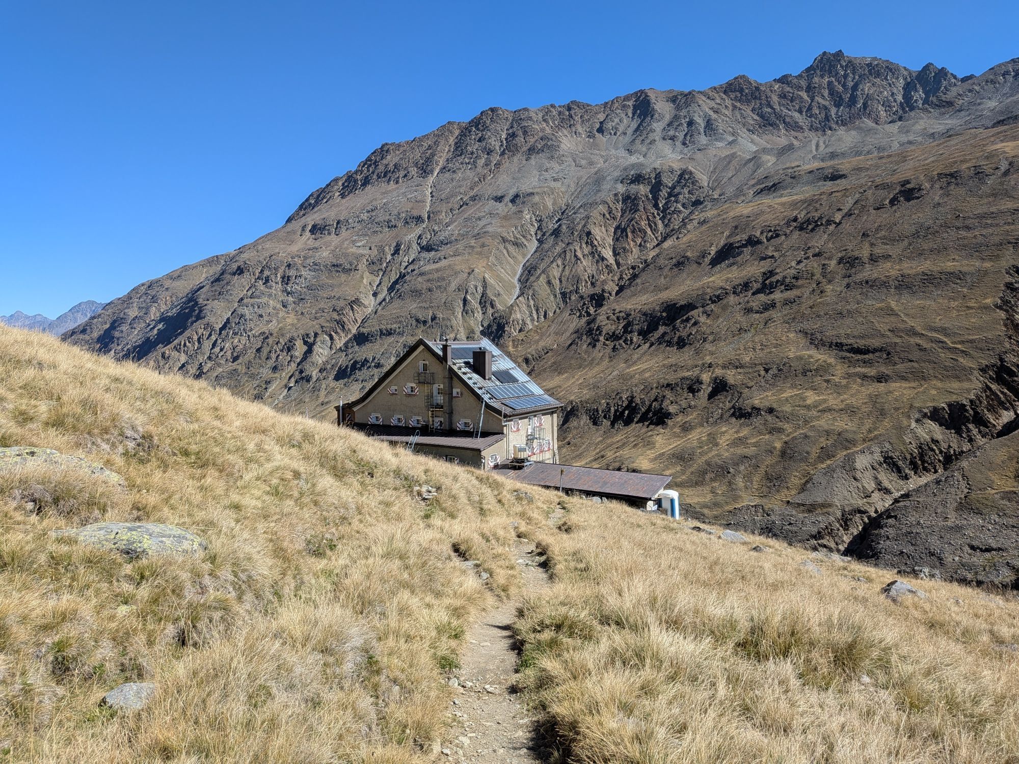
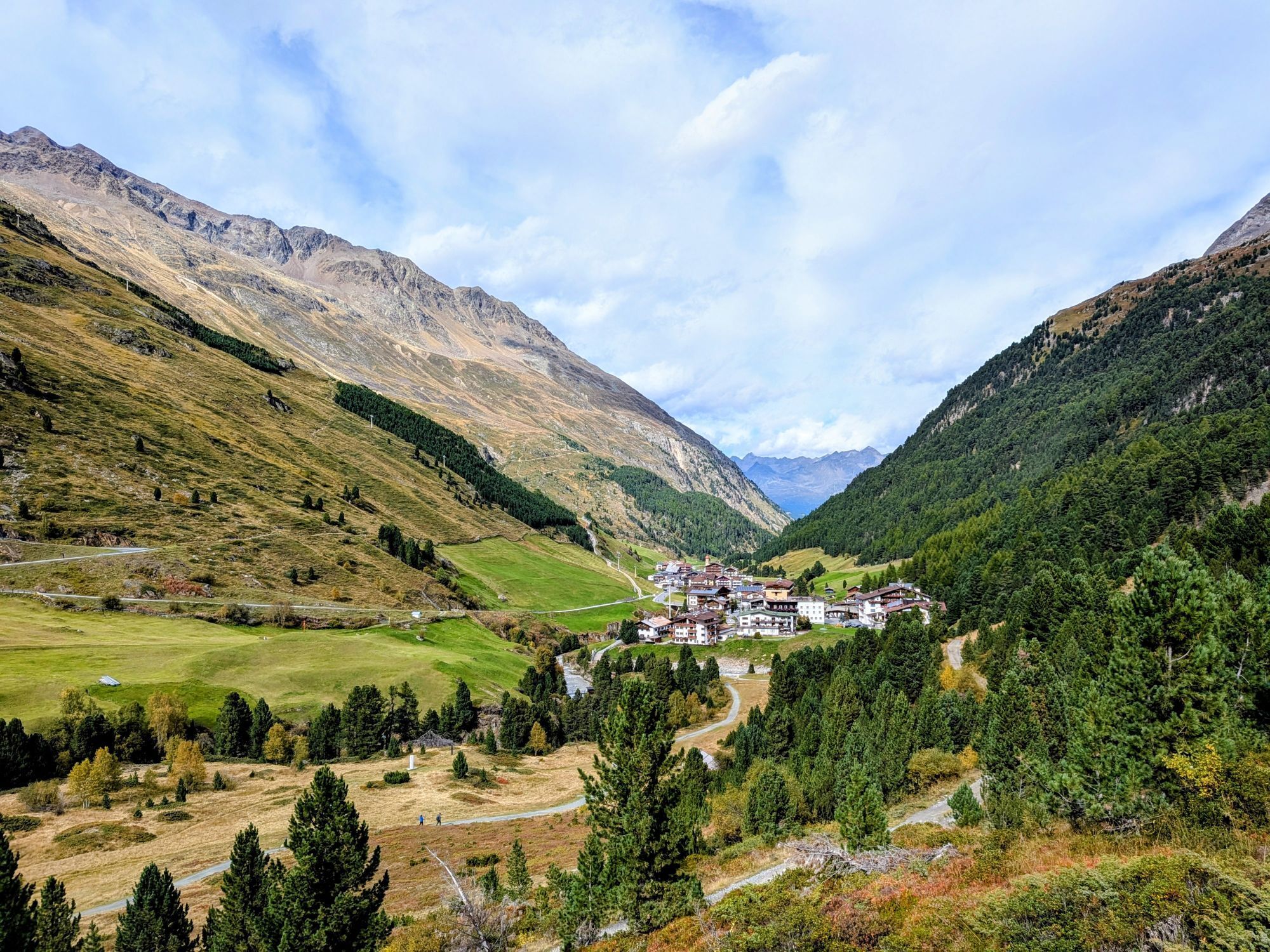
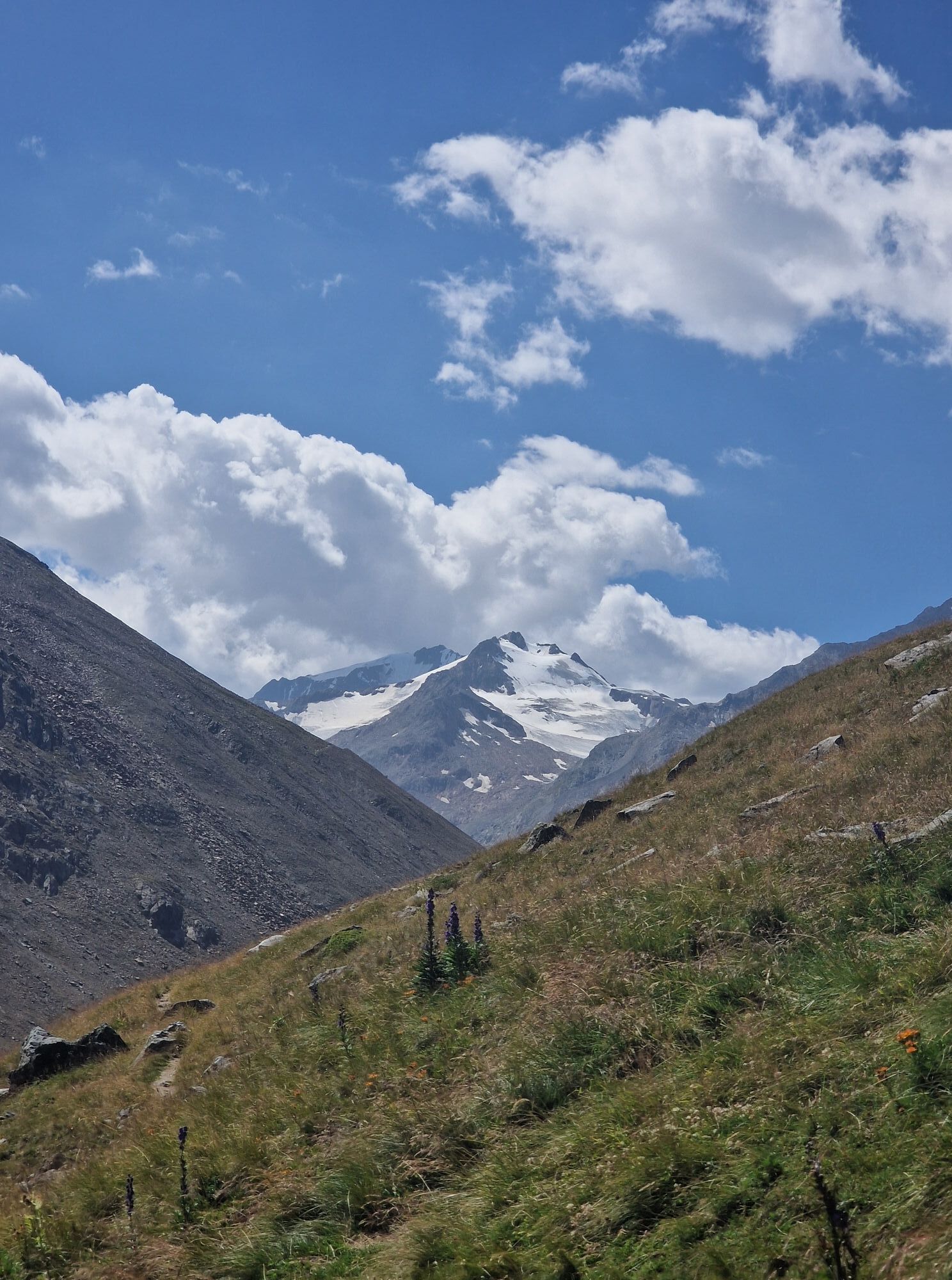
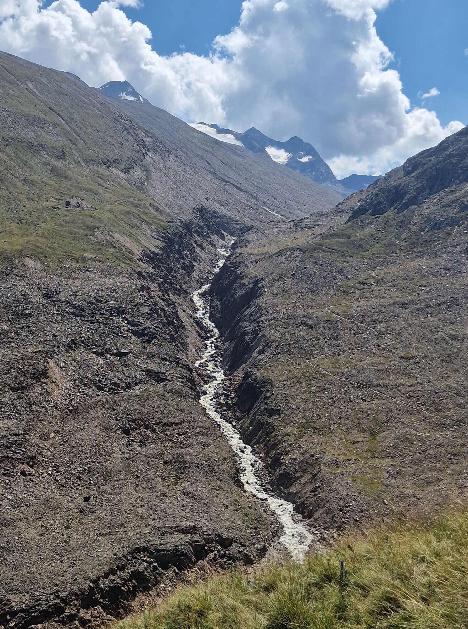
From Vent over the meadows and the suspension bridge to Rofen. From there continue to the material cable car of the Vernagthütte and further through the impressive Rofner Gorge on a path that first ascends moderately, then steeply, to the Hochjoch Hospiz. From there up the steep switchbacks of the slope, after about 15 minutes the path branches off to the left; passing the rugged tongue of the Kesselwand Glacier. The last part of the path leads over the Kesselwand Glacier (only with a rope and in a group).

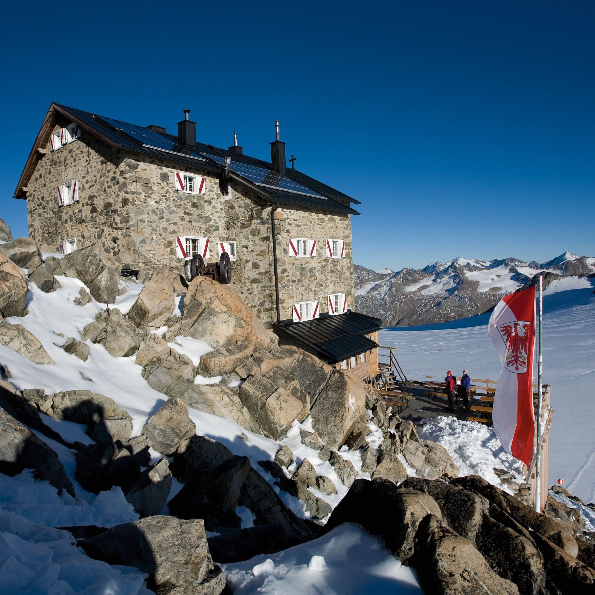
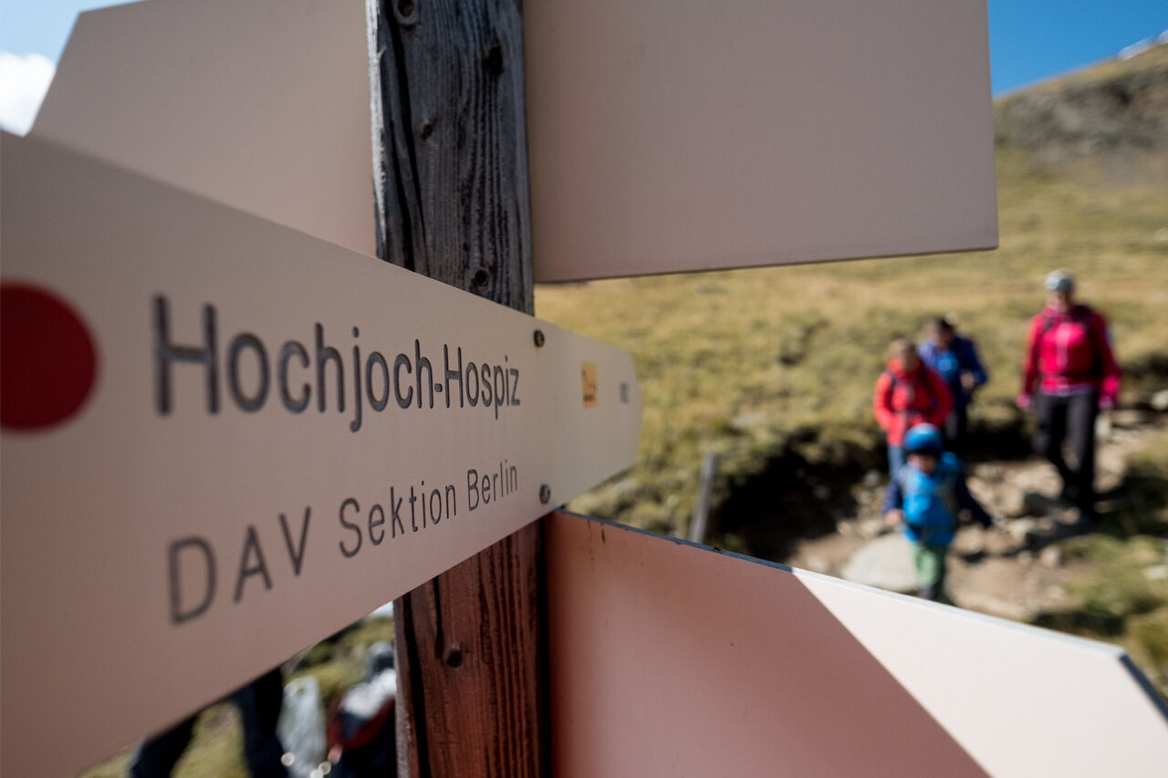
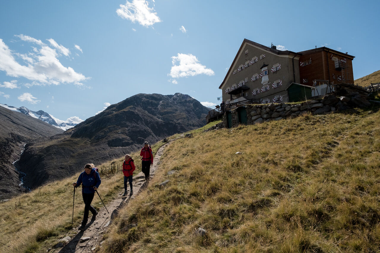
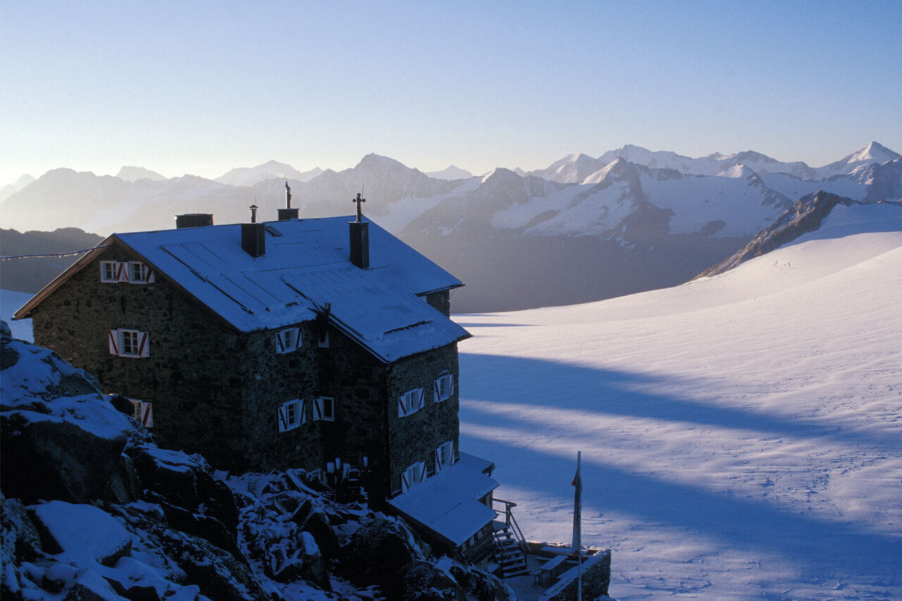
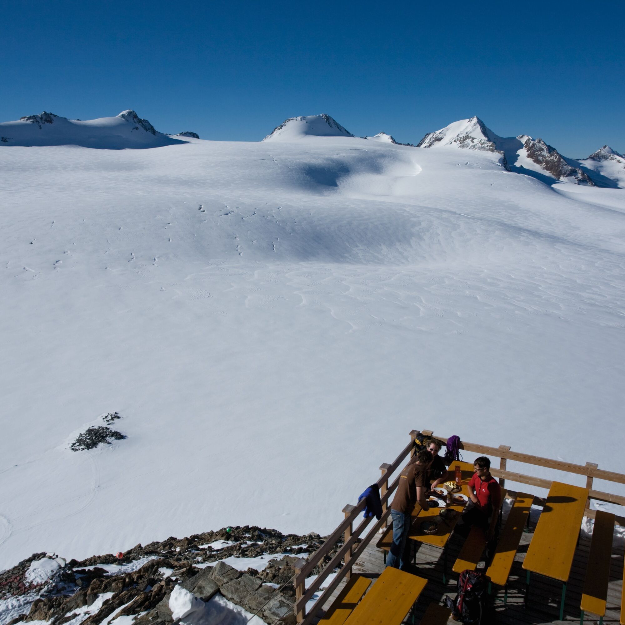


From Vent over the meadows and the suspension bridge to Rofen. From there continue to the material cable car of the Vernagthütte and further through the impressive Rofner Gorge on a path that first ascends moderately, then steeply, to the Hochjoch Hospiz. From there up the steep switchbacks of the slope, after about 15 minutes the path branches off to the left; passing the rugged tongue of the Kesselwand Glacier. The last part of the path leads over the Kesselwand Glacier (only with a rope and in a group).
Appropriate equipment such as breathable and weather-appropriate outdoor clothing, ankle-high hiking shoes, wind, rain and sun protection, a hat, possibly gloves, is necessary for all hikes and routes. Carrying a first aid kit, a mobile phone and possibly a hiking map, as well as sufficient provisions for hikes without any food stops, is required.
For those free of vertigo, sure-footed and highly experienced in high-alpine mountaineering; excellent physical condition, extensive mountain experience, alpine climbing equipment, securing and orientation tools, good weather conditions recommended Please note the current weather report at: www.oetztal.com/de/sommer.html
Vent is located in western Austria in the state of TYROL, in a southern side valley of the Inn valley - the ÖTZTAL. For your trip by car, plan the optimal route from your home location with the route planner online here: https://www.google.at/maps
Travel comfortably and safely by train to the Ötztal train station. The final stop or exit point is ÖTZTAL station. Afterwards, you can travel comfortably and quickly by public transport or local taxi companies through the entire valley to your desired destination! The current bus timetable is available at: http://fahrplan.vvt.at
In the mountaineering village of Vent the following parking options are available.
- In summer, in front of the village (parking meter, coins or EC card only) and at the valley station of the chairlift (at the cable car cashier)
- In winter, only at the valley station of the chairlift.
Cost: € 6.00 per day/car


Dejavnosti na poti

Sölden, Tirol/Österreich
17.09.2026 – Pohodništvo
Vent, Tirol/Österreich
10.09.2026 – Gorski pohodništvo
Sölden, Tirol/Österreich
08.09.2026 – Pohodništvo
Sölden, Tirol/Österreich
21.08.2026 – Pohodništvo
Sölden, Tirol/Österreich
12.08.2026 – PohodništvoVent, Tirolo/Austria
11.08.2026 – PohodništvoSölden, Tirol/Österreich
09.08.2026 – Pohodništvo
Hochjoch Hospiz
29.07.2026 – Pohodništvo
Vent, Tirol/Österreich
19.07.2026 – PohodništvoSölden, Tirol/Österreich
06.07.2026 – Visokogorska turaSölden, Tirol/Österreich
27.10.2025 – Pohodništvo
Vent, Tirol/Österreich
11.08.2025 – Pohodništvo
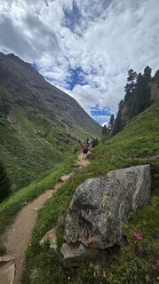
Von Vent zum Hochjochhospiz und retour 🏔️
30.06.2025 – Gorski pohodništvo
2015-08-16 11:24:02
16.08.2015 – Pohodništvo
Priljubljeni izleti v okolici
- 4.7
Vent - Kreuzspitze
Pohodništvo 20.6 km - 4.2
Vorderkaser - Eishof / Texelgruppe
svetlobaPohodništvo 4.83 km - 4.6
Vent - Wilder Mann - Breslauer Hütte - Stableinalm
srednjaPohodništvo 7.25 km - 4.8
Kurzras - Schöne Aussicht - ins hintere Eis
srednjaPohodništvo 13.0 km - 4.4
Rundweg Vernagter See plus Einkehr Finailhof
srednjaPohodništvo 8.73 km - 3.8
Breslauer Hut
srednjaPohodništvo 4.75 km - 4.4
Hochtour Wildspitze, 3.768m
srednjaVisokogorska tura 9.75 km - 4.2
Vernagt-Stausee (Seerundgang)
svetlobaPohodništvo 6.70 km - 3.5
Tiefenbachglacier - Mountaineering Village Vent
srednjaPohodništvo 10.8 km - 5.0
Obergurgl - Ramolhaus
Pohodništvo 7 km

Pohodništvo in sledenje


Ne zamudite ponudb in navdiha za naslednje počitnice
Vaš e-poštni naslov je bil dodan na poštni seznam.





