


European E5 long-distance hiking trail – King's Segment – Zwieselstein to Moos in Passeier (original route)
Fotografije naših uporabnikov
This is a technically easy segment of the E5. However, it is long and strenuous with lots of vertical metres.
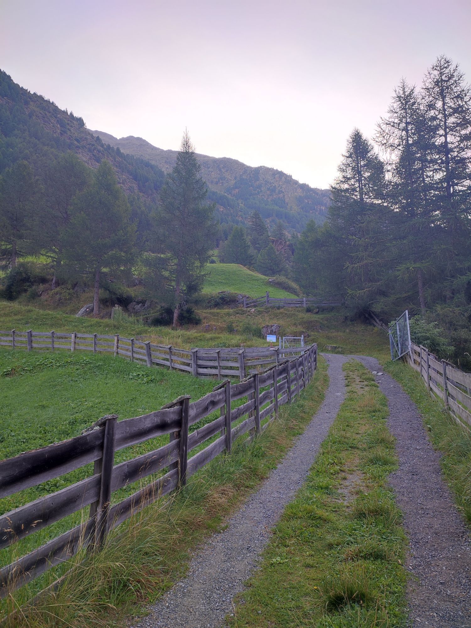
The trail follows the Gurgler Ache river across beautiful meadows before turning and gently...
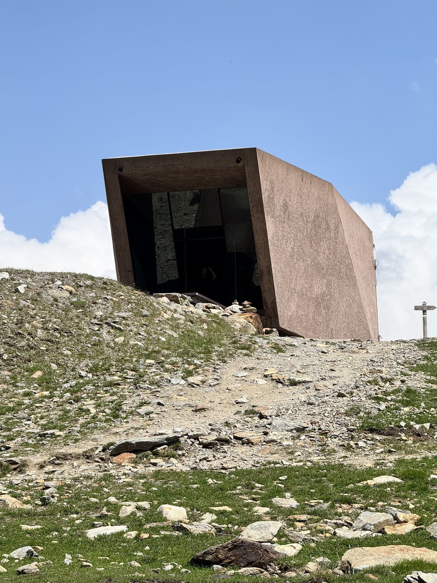
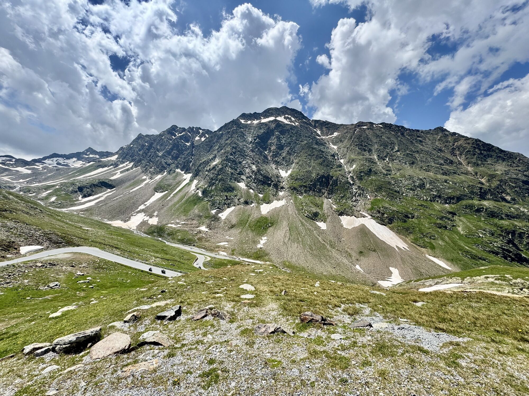
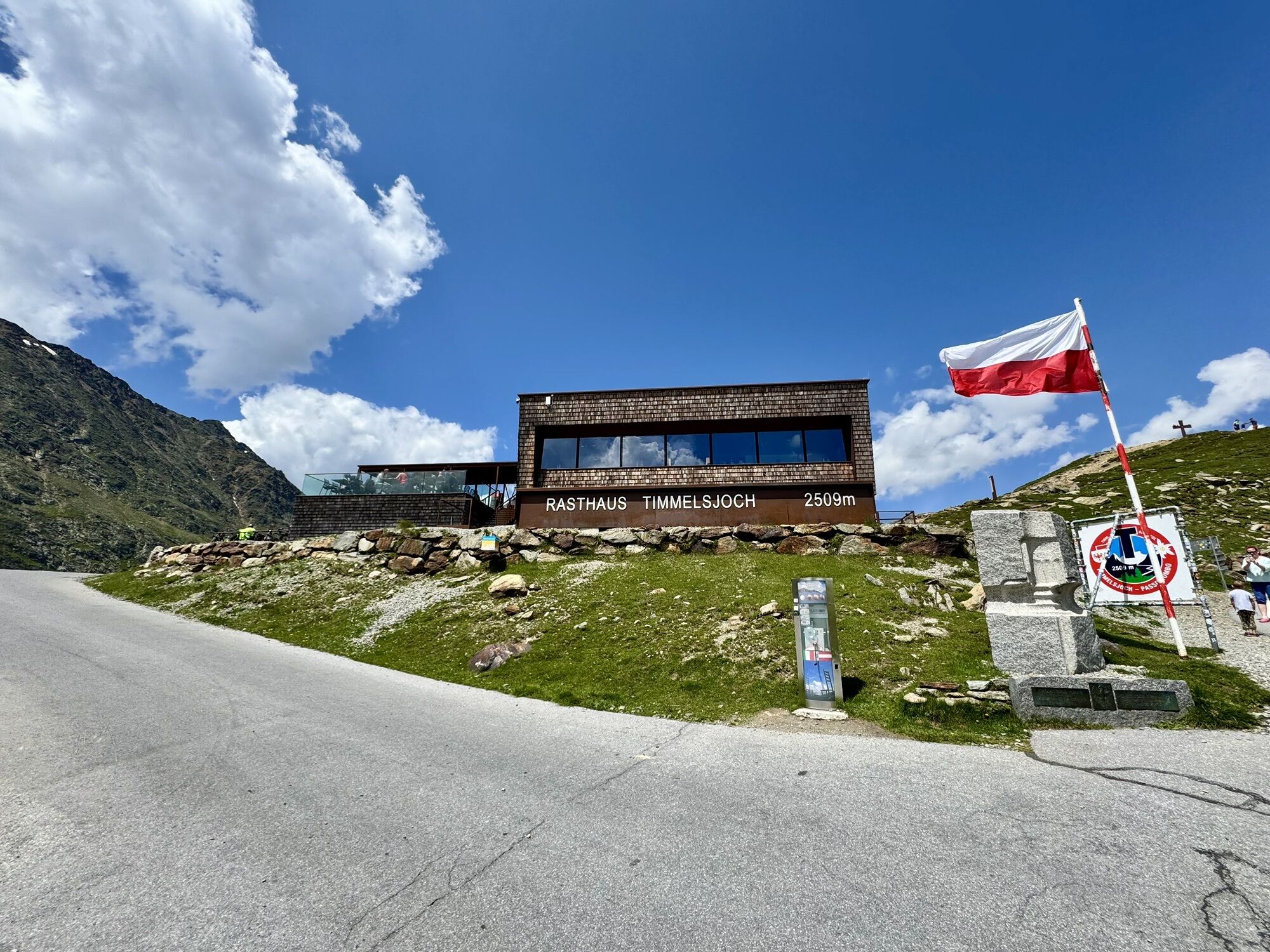
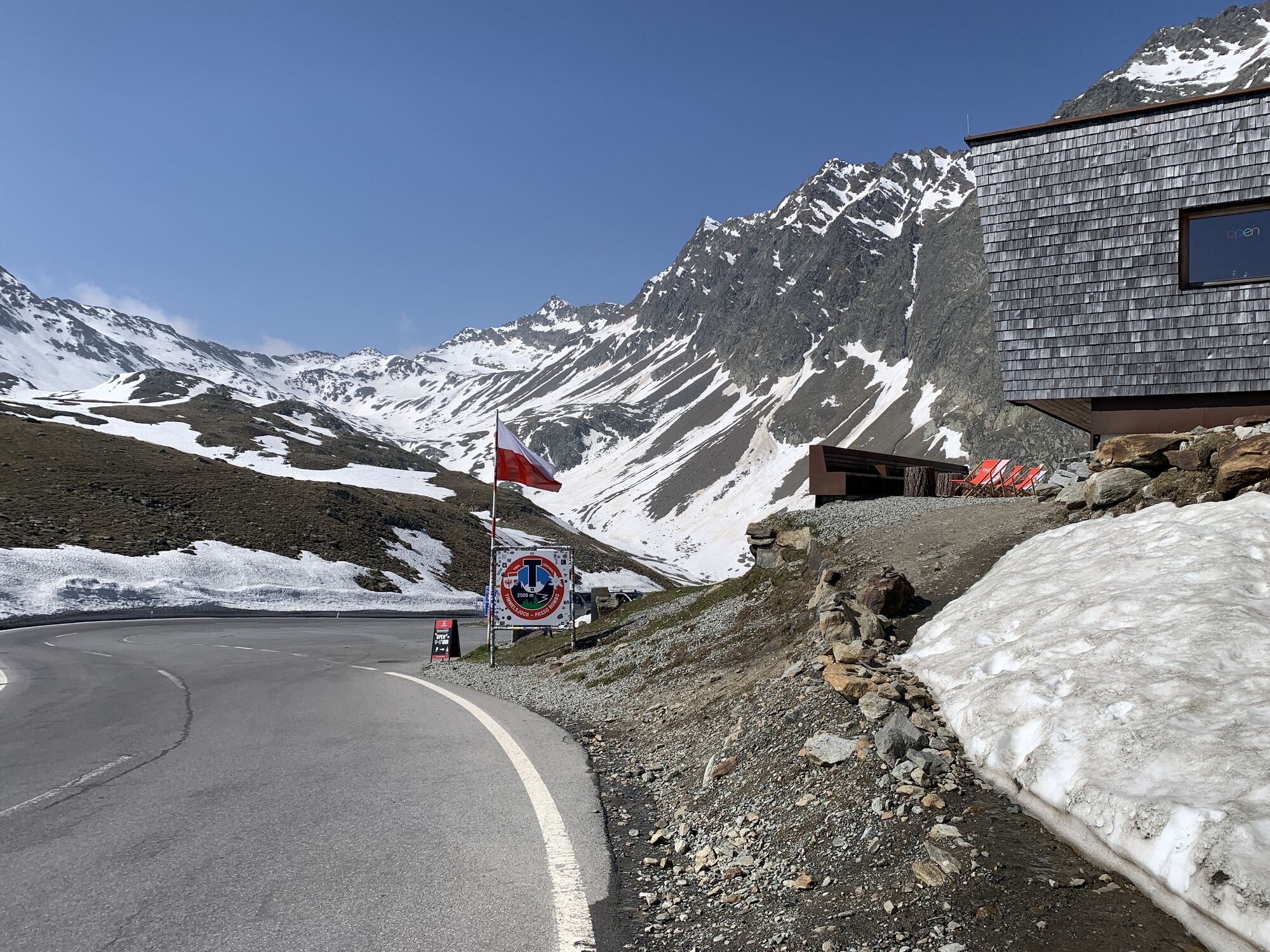
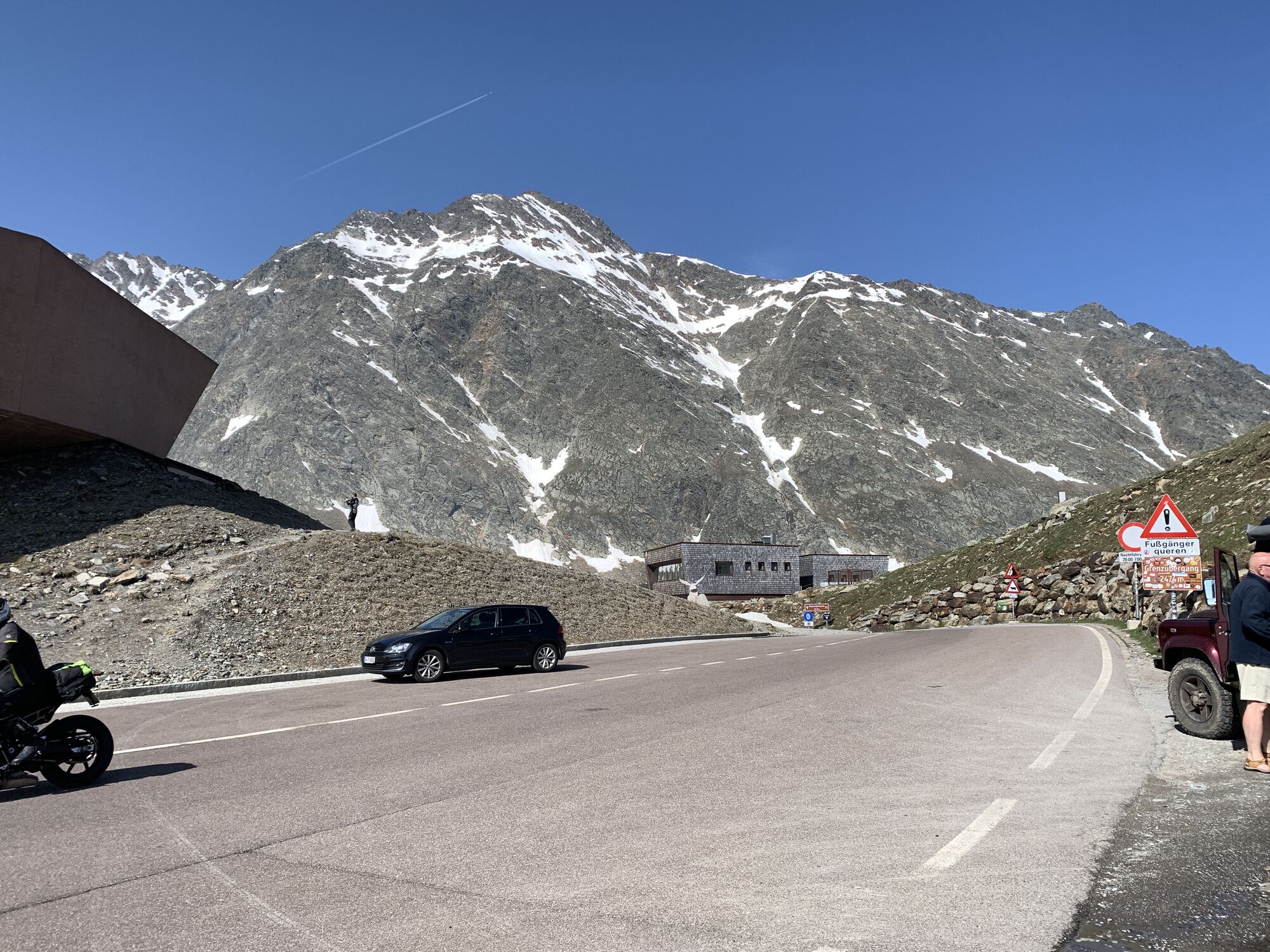
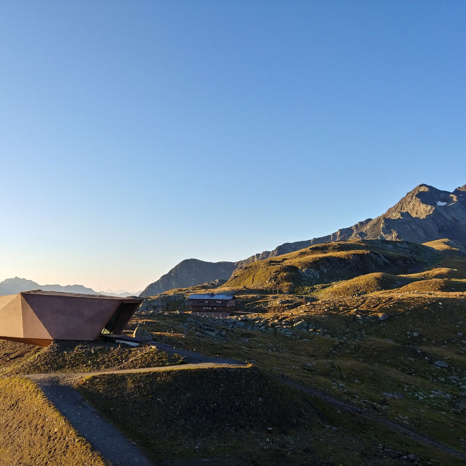
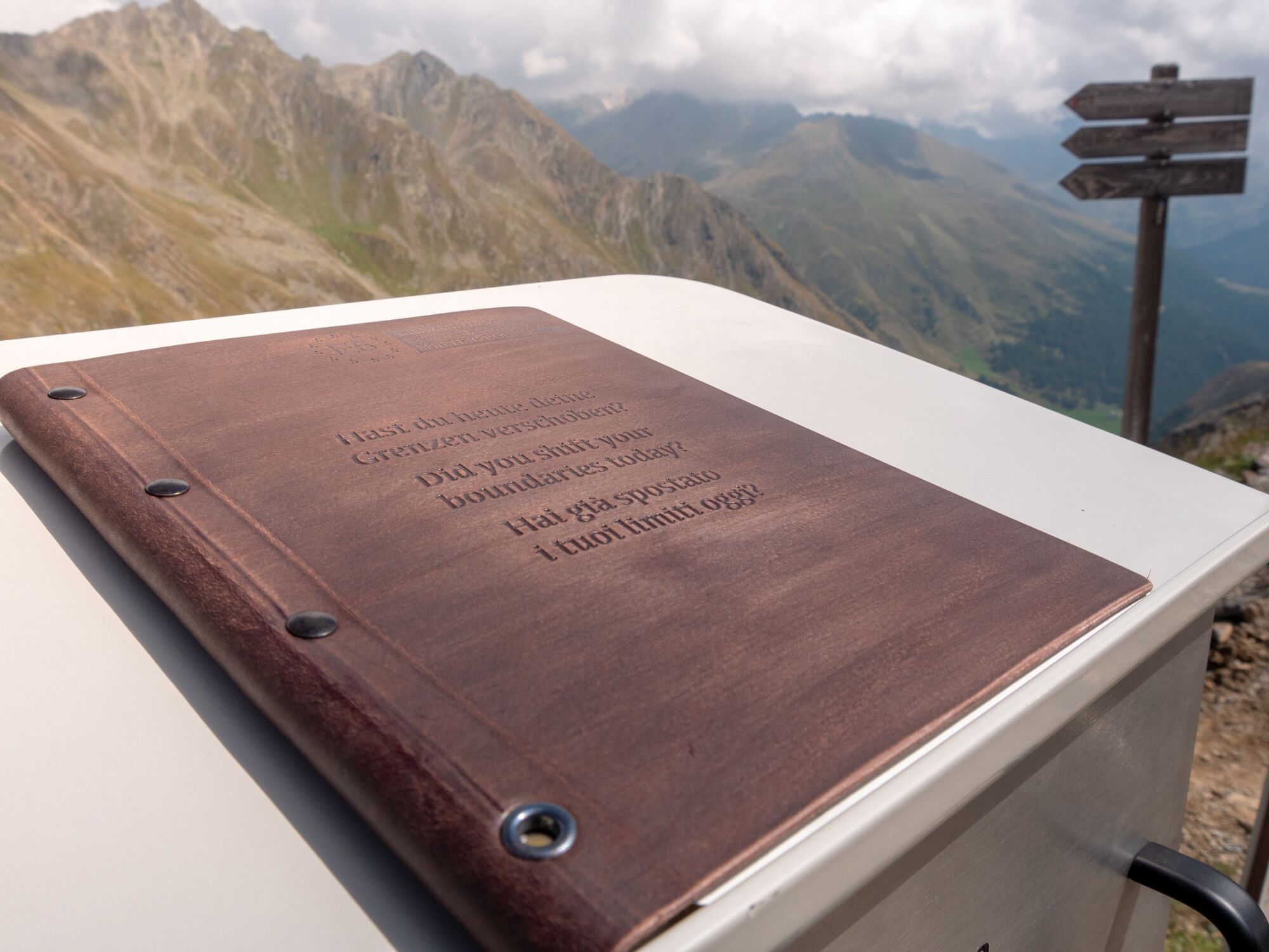
The trail follows the Gurgler Ache river across beautiful meadows before turning and gently climbing into the Timmelstal valley, where it eventually meets the burbling Timmelsbach brook. You will soon reach the Timmelsjoch High Alpine Road, follow it for a while, and then turn onto a trail again, which will lead you across sparse sheep pastures and rocky slopes up to the Timmelsjoch pass. Record your thoughts and experiences in the logbook at the pass. A special embossing stamp will help you remember this moment. The Pass Museum is certainly worth a visit, as is the new Timmel_Transit_Museum. The museums as well as a walkway with viewing platform, a smuggler sculpture, a telescope and a beautiful garnet are part of the Timmelsjoch experience. They embody the heritage of the iconic 50-year-old Timmelsjoch High Alpine Road.
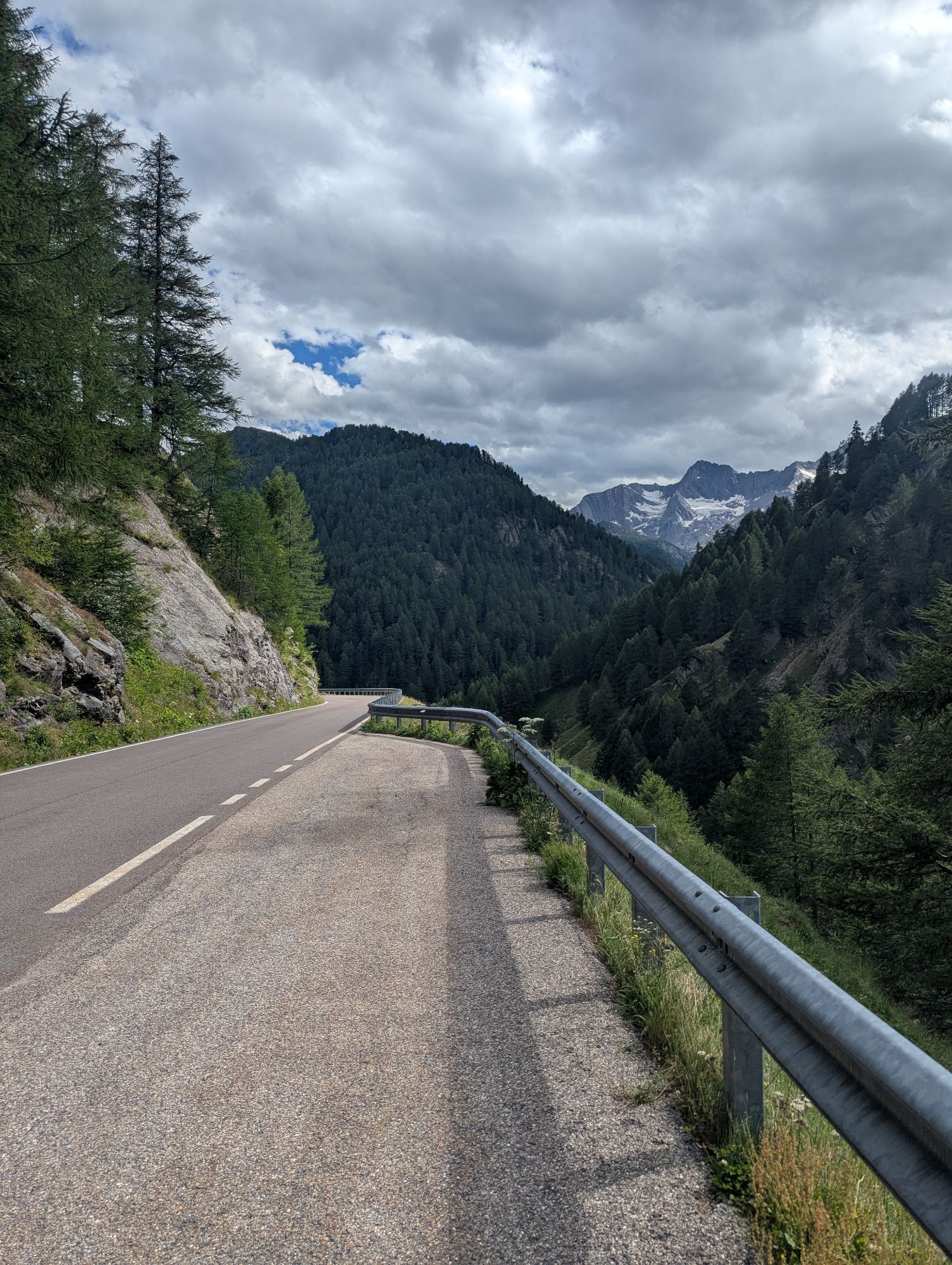
Once you pass the Timmelsjoch, you will enter the Texel Group Nature Park, walking down along the valleys, waterfalls and mountain brooks of the beautiful Passeiertal valley as the landscape becomes gentler and wider. Follow the narrow path past cattle herds and impressive stone walls and feel the historic significance this trail once had for smugglers and cattle drovers. The route will take you to the pretty village of Rabenstein and then through a rather narrow valley to Moos in Passeier.

The Ötztal is a southern side valley of the Inn valley. For your arrival by car, you can plan the best route from your home town with the route planner online at www.google.at/maps
Spletne kamere s turneje
Hochgurgl
Gaislachkogel
Sölden - Grünwald Resort
Top Mountain Crosspoint Hochgurgl
Top Mountain Crosspoint Hochgurgl
Top Mountain Crosspoint Hochgurgl
Top Mountain Crosspoint Hochgurgl
Top Mountain Crosspoint Hochgurgl
Sölden - Grünwald Resort
Stuls - Kronhof
Top Mountain Crosspoint Hochgurgl
Sölden - Gaislachkogelbahn Mittelstation
Sölden
The Peak Sölden**** Chalets und Appartements
Priljubljeni izleti v okolici
- 4,7
Wilde Wasser Weg - Fortgeschritten
srednjaPohodništvo 12,0 km - 4,6
Passerschlucht
svetlobaPohodništvo 8,84 km - 4,4
Passerschlucht mit Stieber Wasserfällen, Trentino-Südtirol/Italien
srednjaPohodništvo 9,49 km - 3,1
Tiefenbachglacier - Mountaineering Village Vent
srednjaPohodništvo 10,8 km - 4,4
Hochwilde - Pfelders
srednjaVisokogorska tura 22,1 km - 5,0
Dresdner hütte - sulzenauerhütte
srednjaPohodništvo 12,1 km - 5,0
Obergurgl - Ramolhaus
Pohodništvo 7 km - 5,0
Siegerland Hut
srednjaPohodništvo 8,08 km - 5,0
07. 19.07.19 - Langeggbahn-Rotkogel–Schwarzsee-Schwarzkogel-Giggijochbahn
srednjaPohodništvo 6,67 km - 3,4
Peerler Lake
srednjaPohodništvo 12,6 km
Pohodništvo in sledenje


Ne zamudite ponudb in navdiha za naslednje počitnice
Vaš e-poštni naslov je bil dodan na poštni seznam.