







Peerler Lake

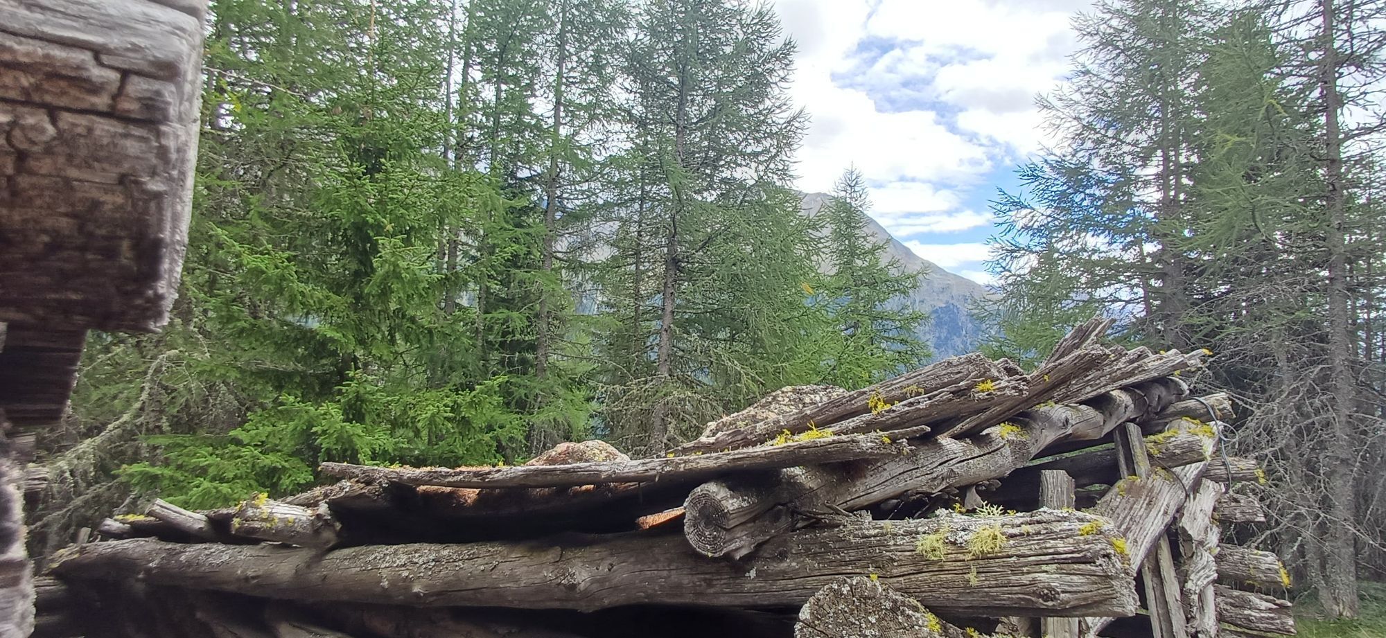
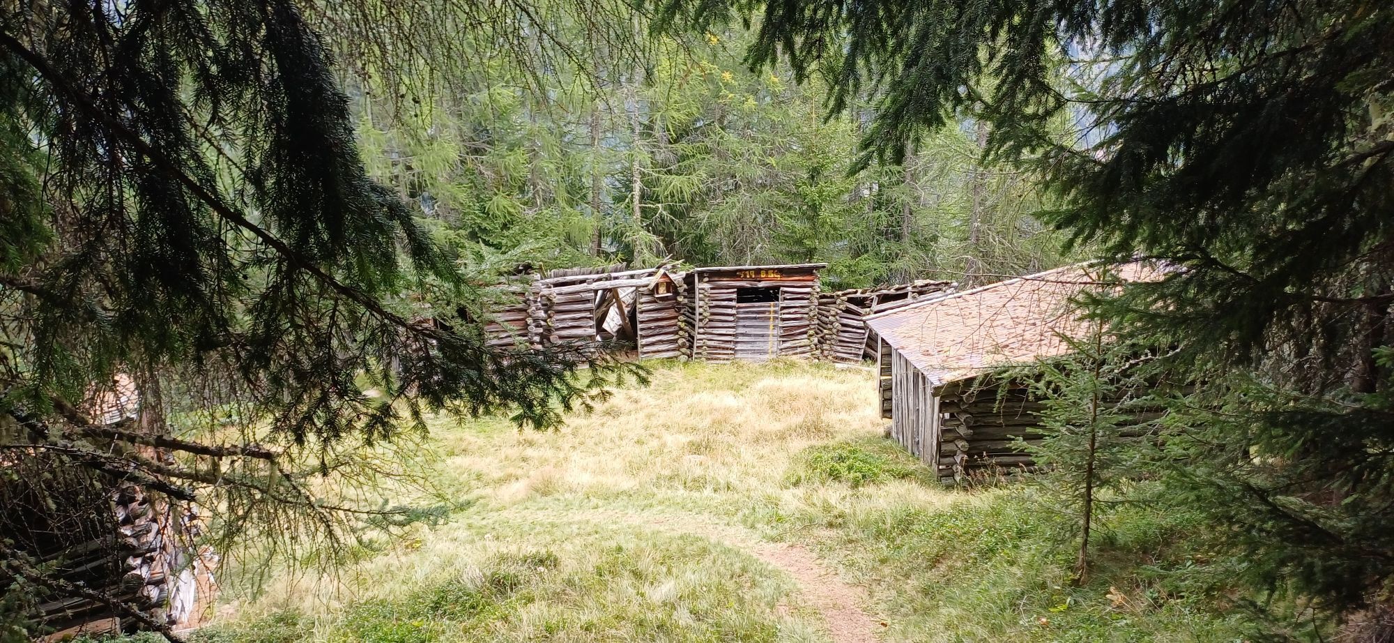
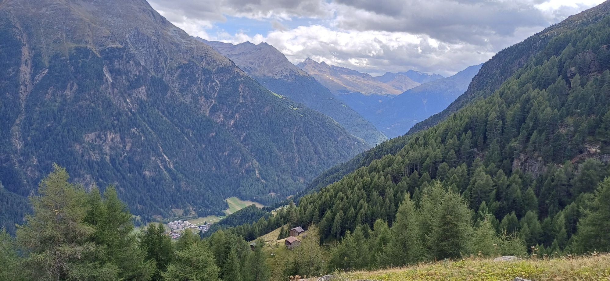
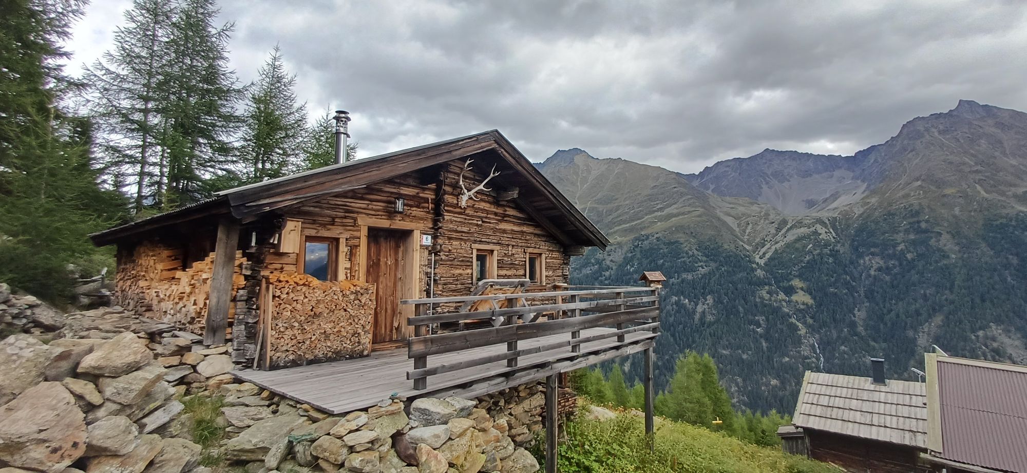
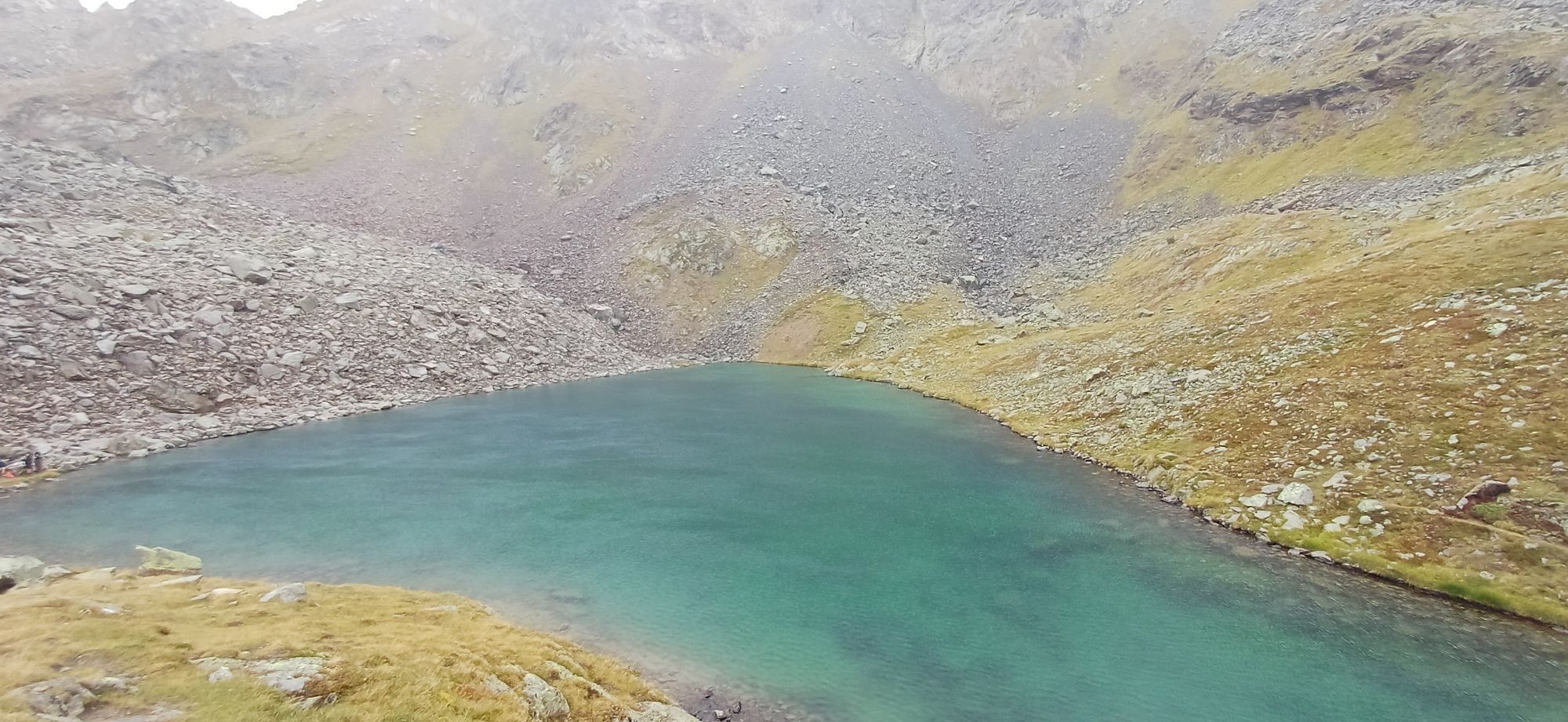
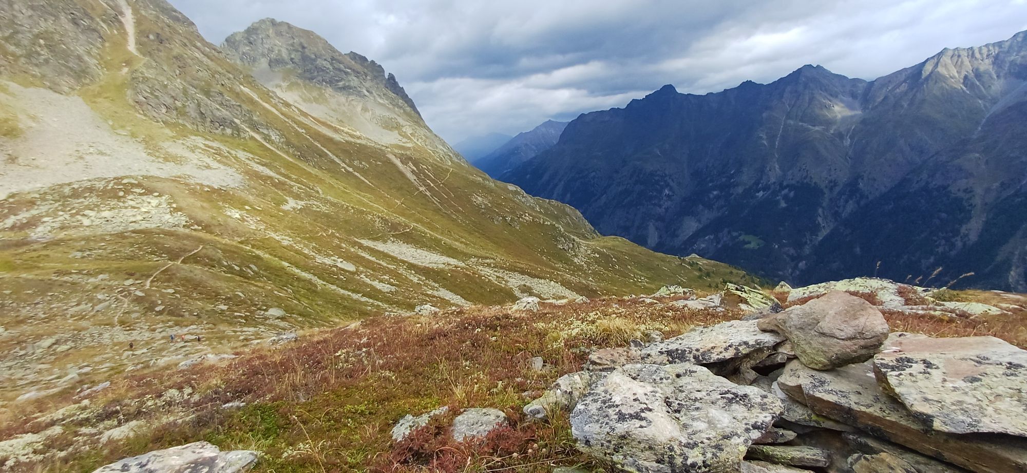
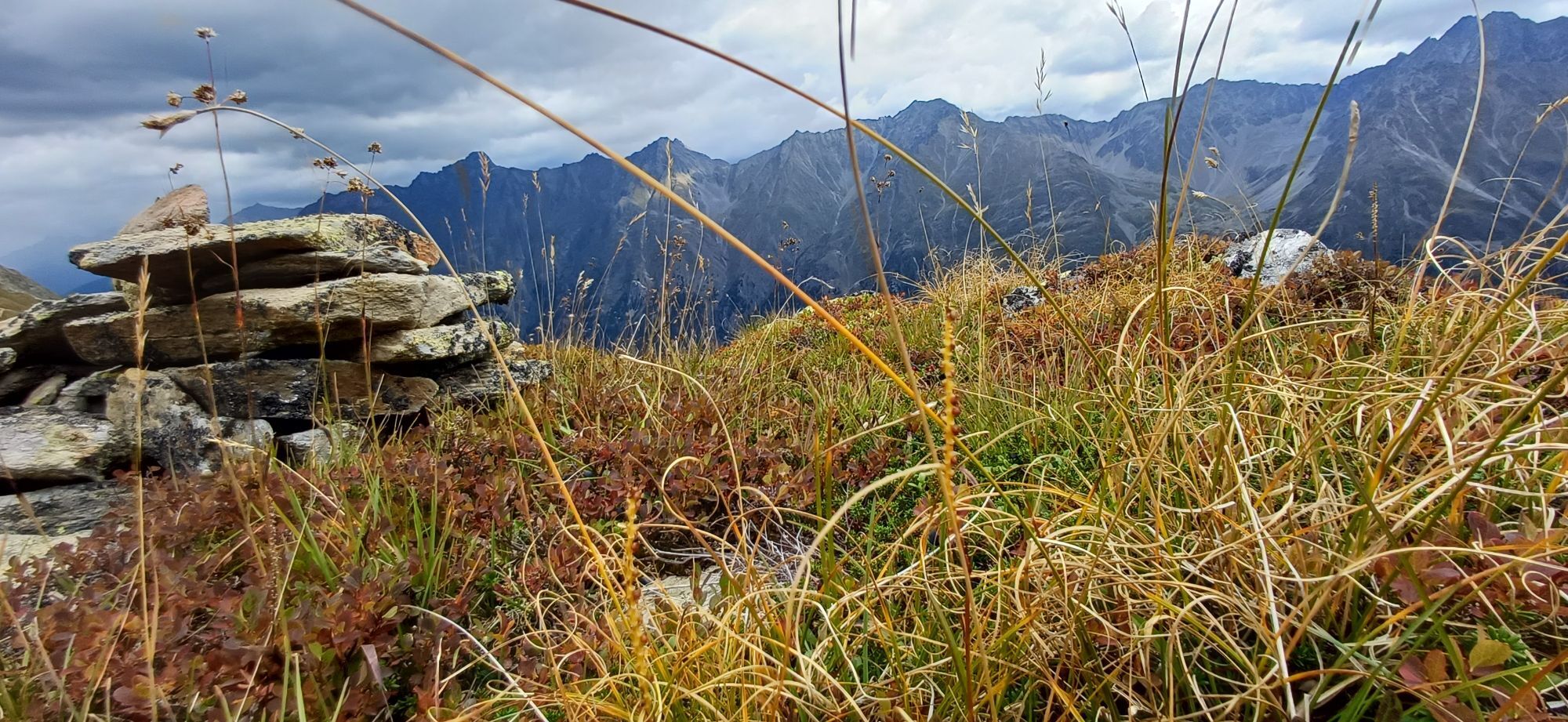
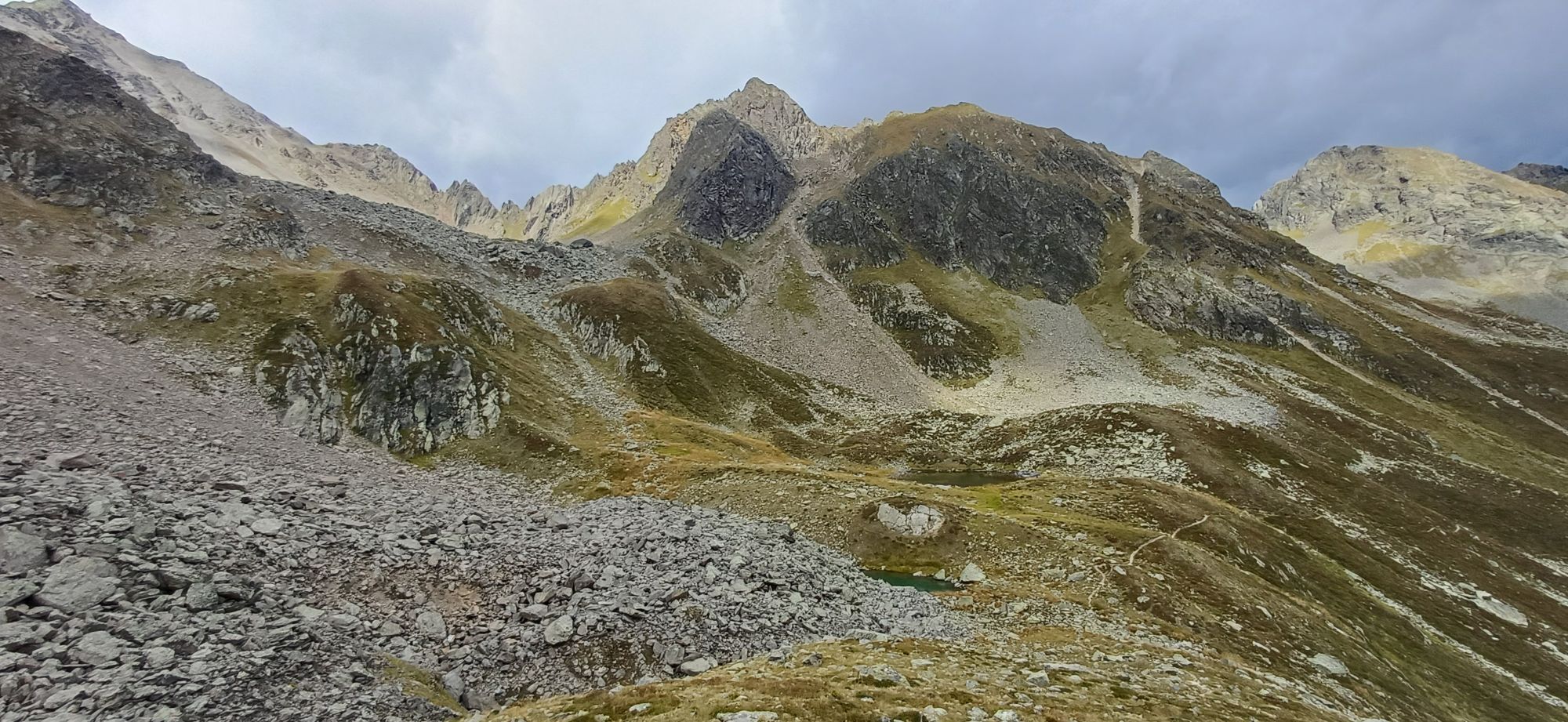
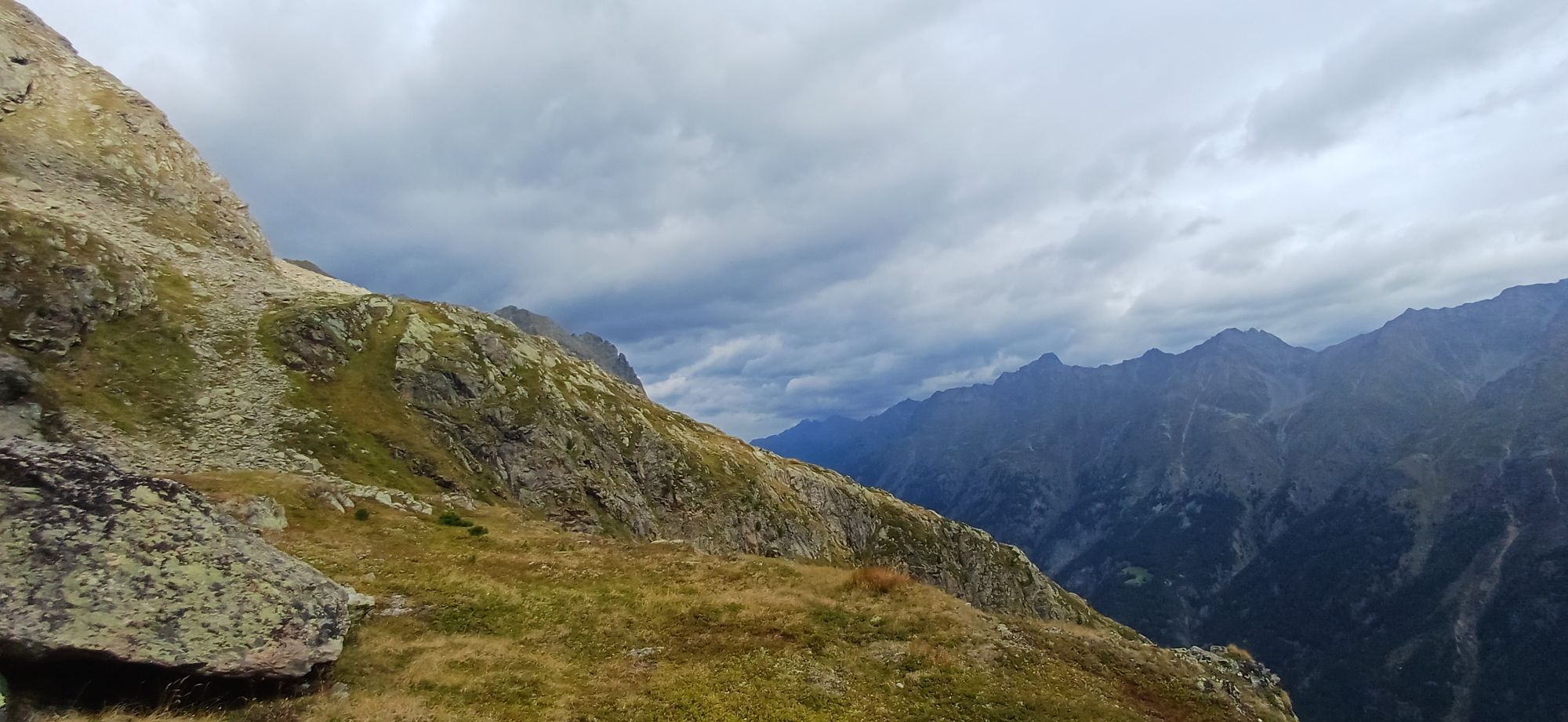
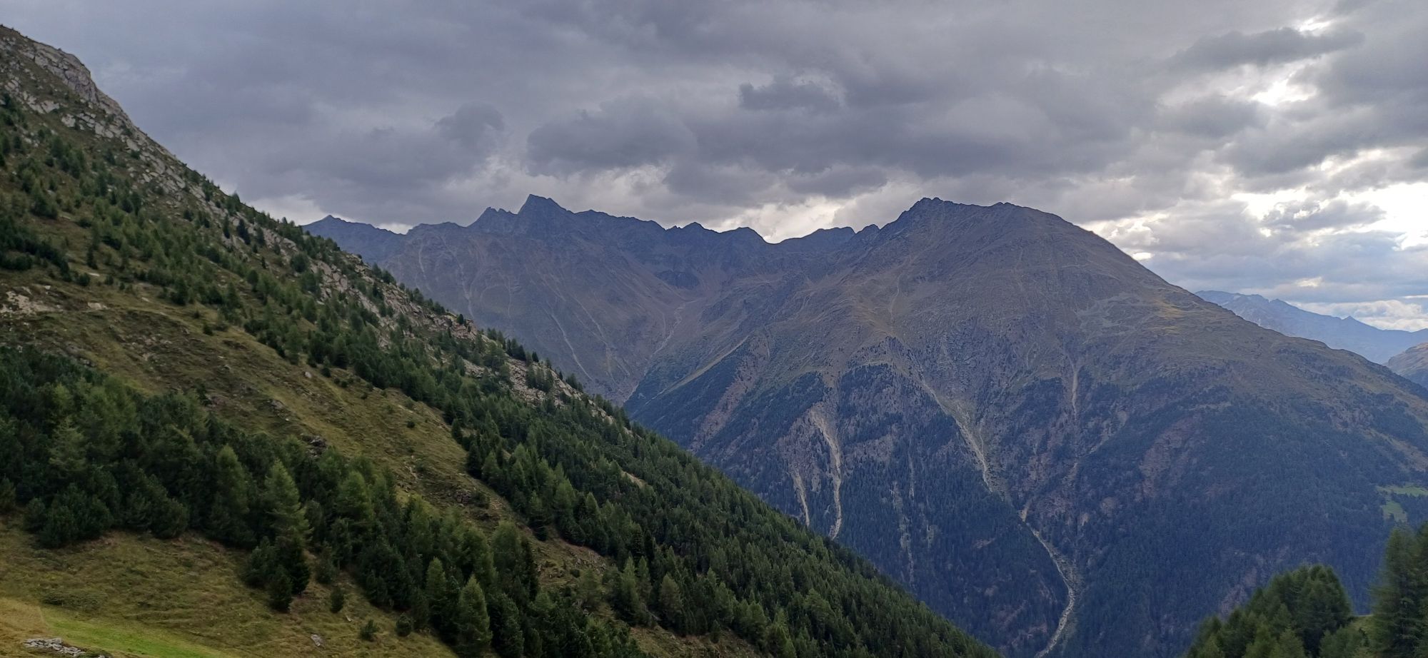
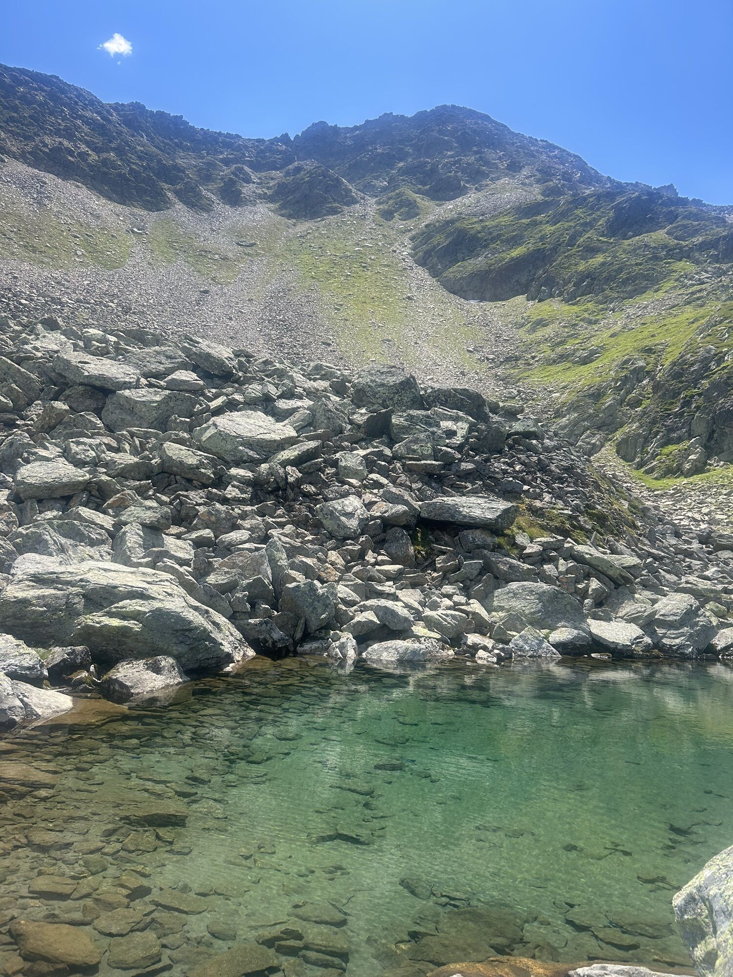
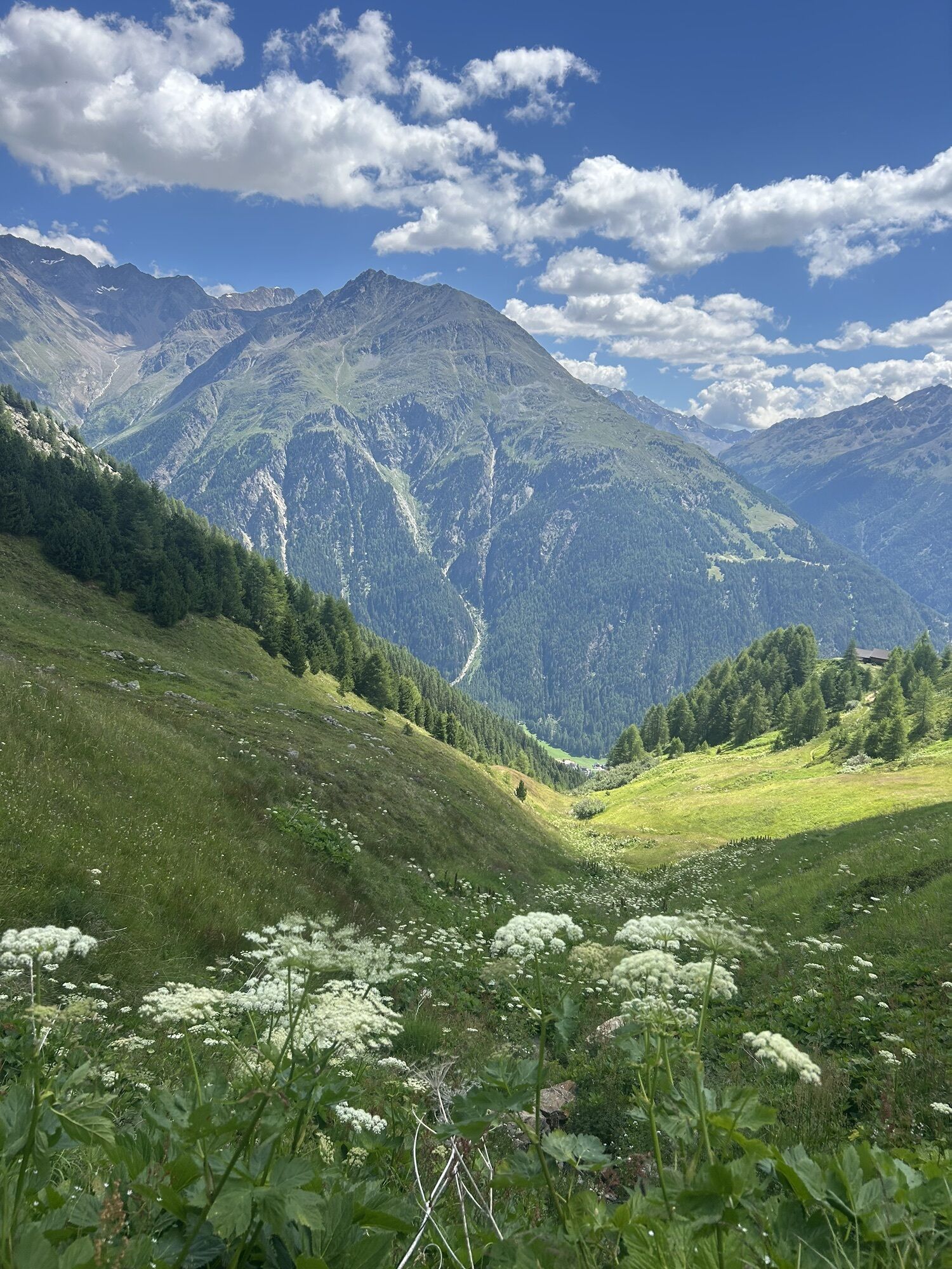
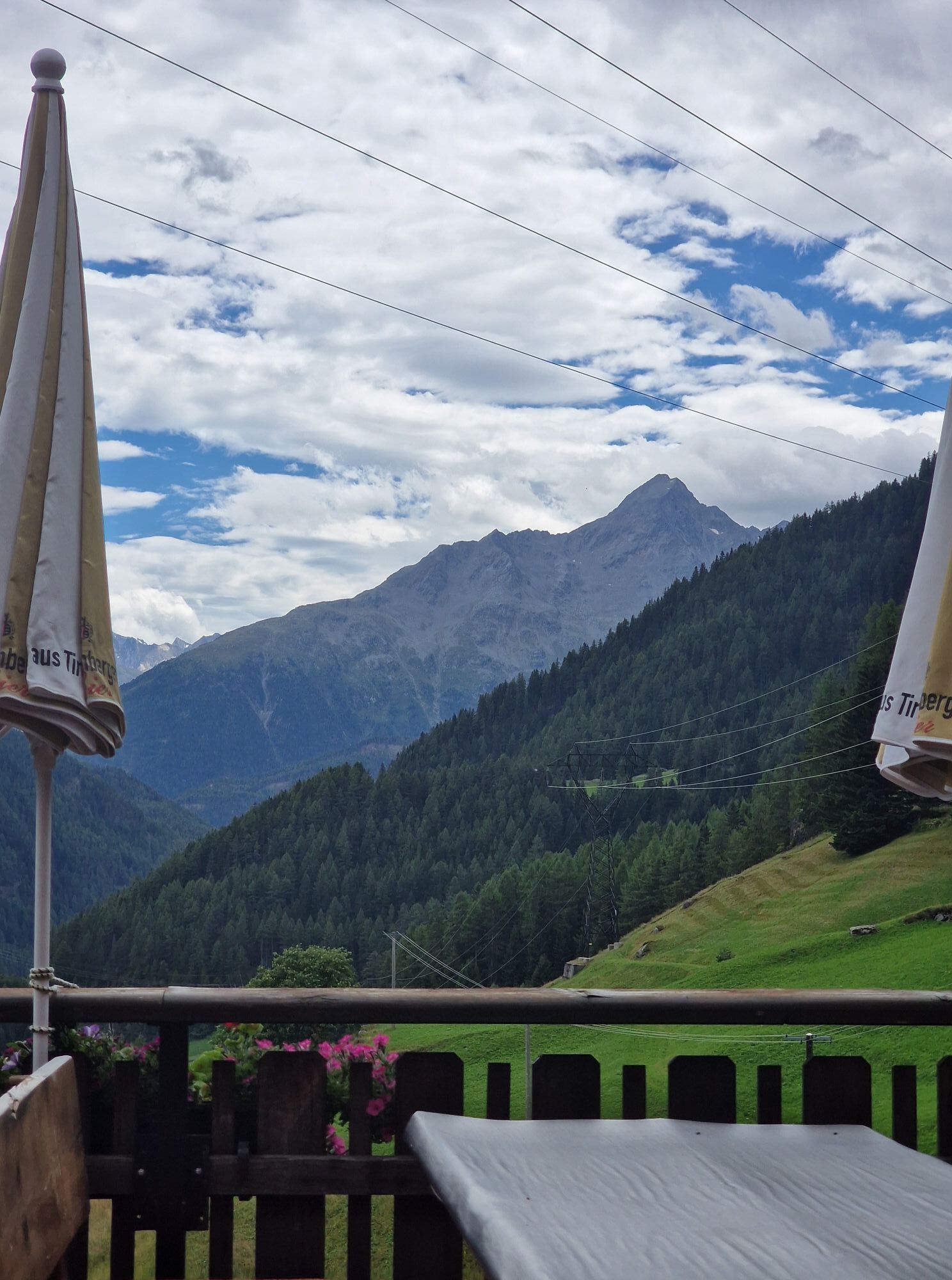
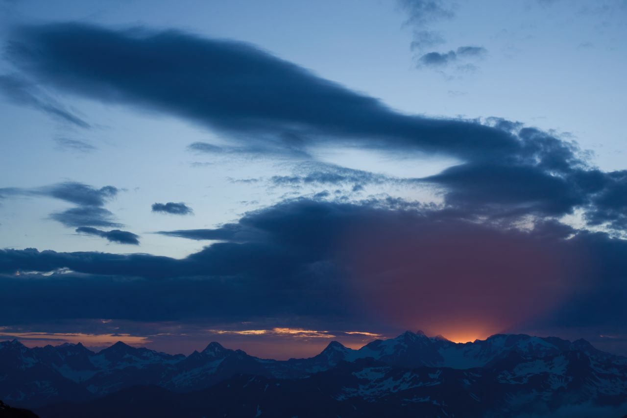
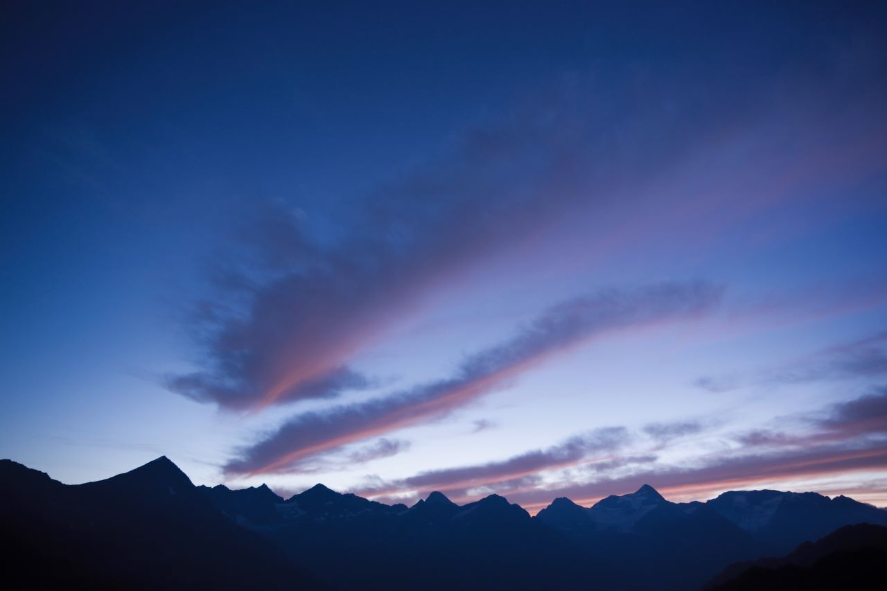
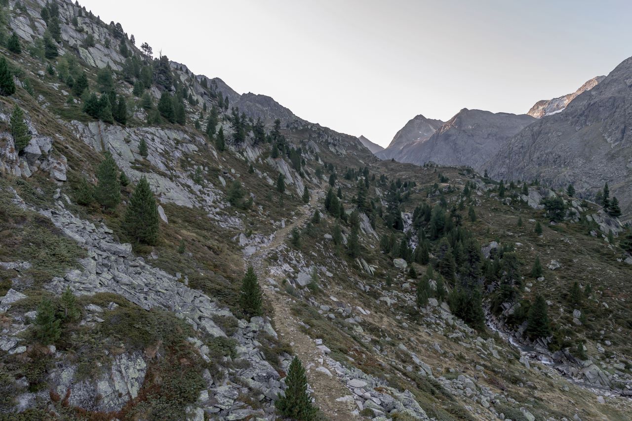
From Hochsölden, the demanding Dr. Bachmann Trail leads over steep, alpine terrain to the idyllic Peerlersee. Along the ascent, you’ll be rewarded with breathtaking panoramic views of Sölden and the striking...
The hike is accompanied by the distinctive whistling of marmots, which are commonly found in this high-alpine environment. The untouched nature and tranquil surroundings make this trail a truly memorable experience – a place that's easy to fall in love with.
The descent leads across gentle alpine meadows to the small hamlet of Granstein, before continuing down into the valley and back to Sölden.

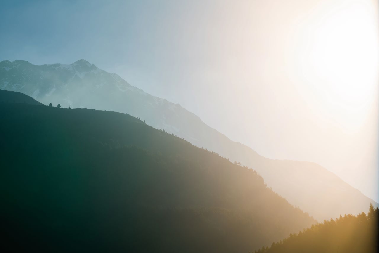
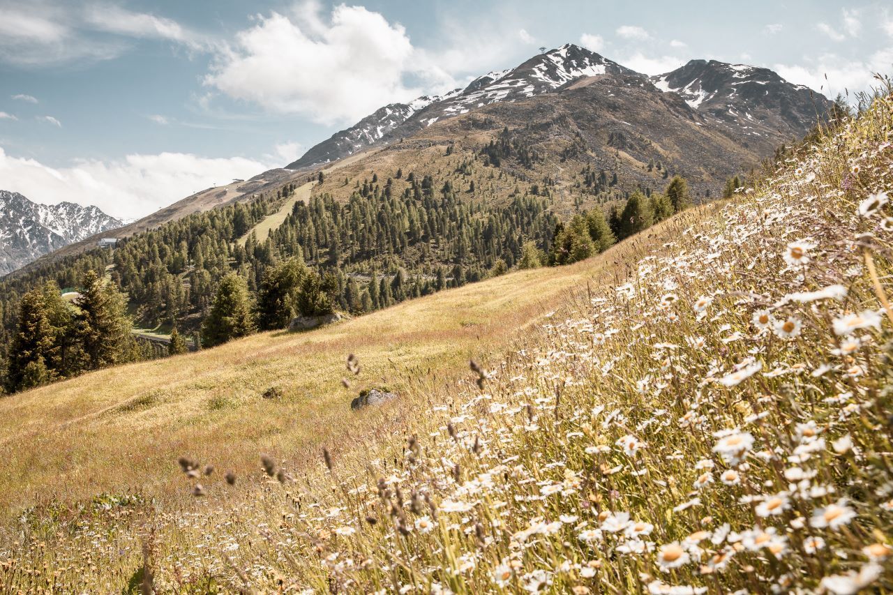
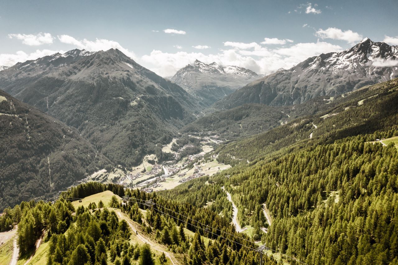
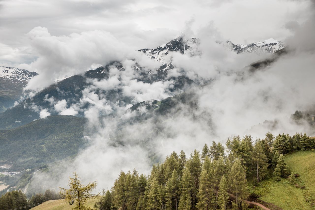
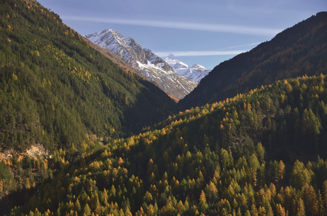
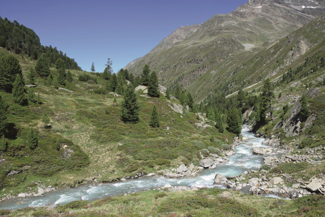

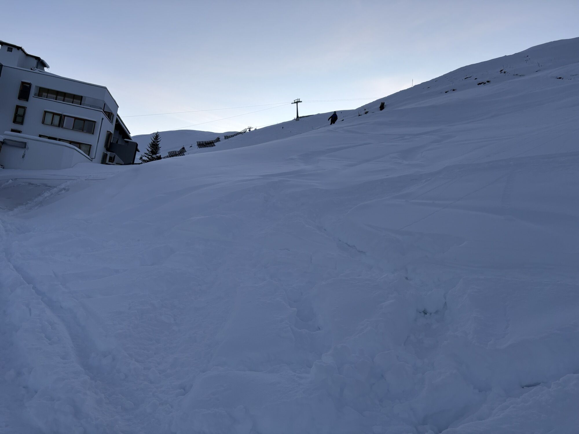
From there, follow the service road down the valley in the direction of the Sonnenhotel Hochsölden. The trail continues across blooming alpine meadows and steeper slopes, offering breathtaking views down into the Sölden valley.
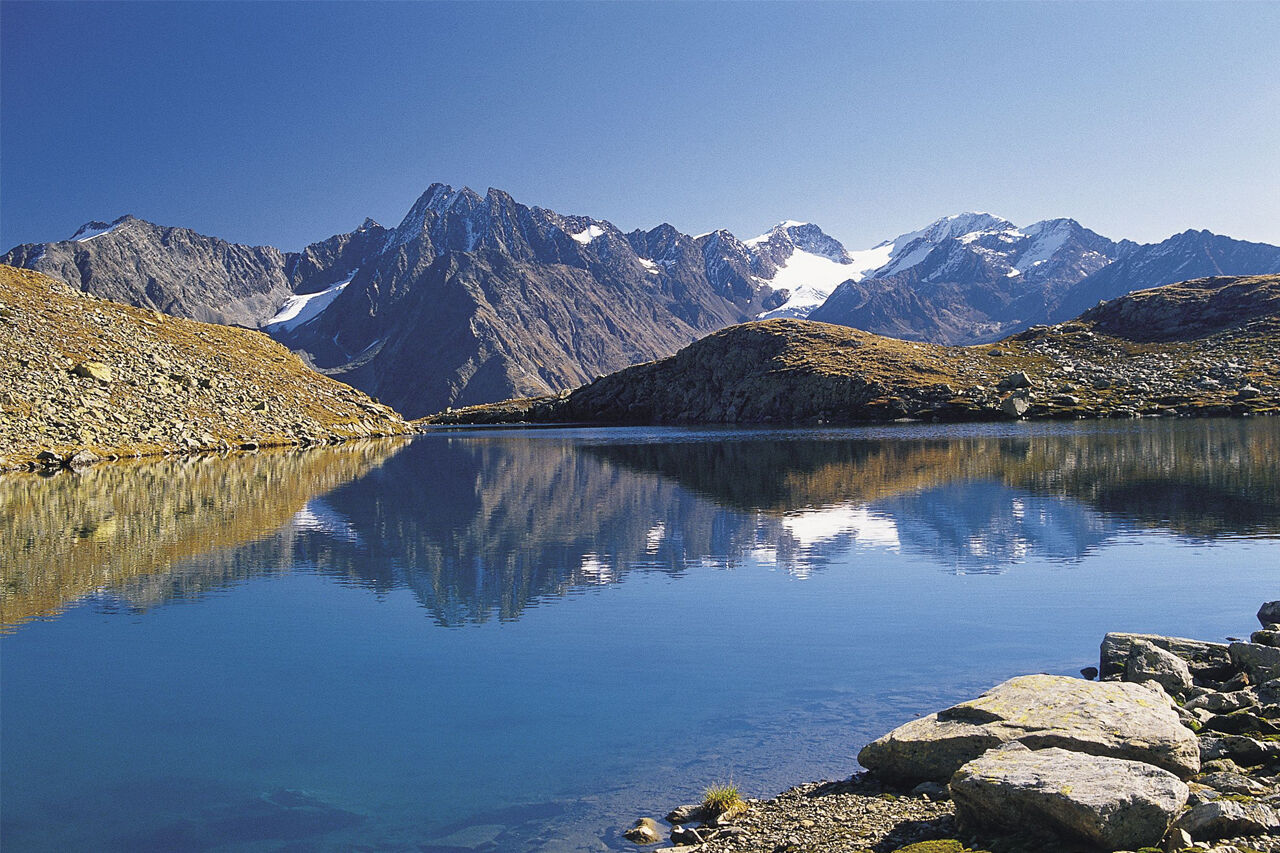
After crossing several ridges and passing small mountain ponds, you’ll reach a trail junction. Take the upper path here – although steeper in the final section, it leads directly to the idyllic Peerlersee.
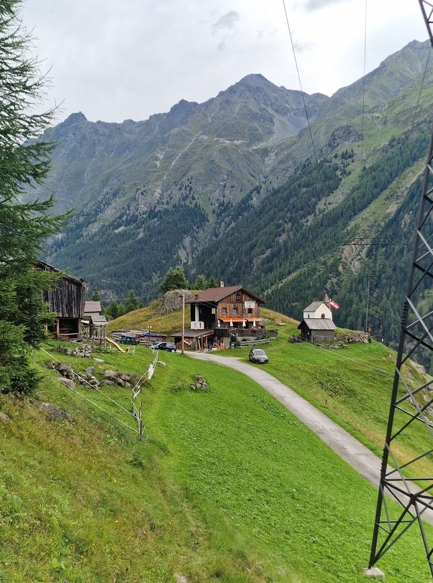
The descent takes you past the picturesque Gransteinalm to the Hochwald snack station (Jausenstation Hochwald). From there, the trail continues through the charming hamlets of Granstein and Leite, eventually bringing you back to Sölden.
Suitable for sure-footed and experienced hikers. Good physical condition, mountain experience & mountain equipment (see notice equipment) necessary.
Please pay attention to the current weather report.
Situated in Tirol, the Ötztal valley set off in southerly direction and is the longest side valley in the Eastern Alps.
The journey with the car leads you through the Inntal valley to the entrance of the Ötztal valley and further on through the valley.
Among the toll motorways you can also use the countryroads. A route planner will show you the easiest and most convenient way: https://www.google.at/maps
All parking is free during the day.
Parking for several days (eg hike tour):
Parkgarage Gaislachkoglbahn - Parkticket either online or directly at the cash desk of the Gaislachkoglbahn


Spletne kamere s turneje



Priljubljeni izleti v okolici
-
4.7
Winnebachsee Hut – Längenfeld/Gries
srednjaPohodništvo 4.74 km -
4.7
Winter circular route Brandalm/Burgstein - Längenfeld 204
srednjaZimsko pohodništvo 5.44 km -
4.4
Hike Stuibenfall - Umhausen
svetlobaPohodništvo 2.95 km -
4.8
Wilde Wasser Weg - Fortgeschritten
srednjaPohodništvo 12.0 km -
5.0
Dresdner hütte - sulzenauerhütte
srednjaPohodništvo 12.1 km -
4.5
Hohe Geige über Gawinden und den Westgrat
težkoPohodništvo 14.3 km -
4.4
Rundwanderung Hängebrück3
svetlobaPohodništvo 6.32 km -
4.3
Umhausen - Stuibenfall - Umhausen
srednjaPohodništvo 7.94 km -
4.3
Amberger Hut - Längenfeld/Gries
srednjaPohodništvo 5.60 km -
3.5
Tiefenbachglacier - Mountaineering Village Vent
srednjaPohodništvo 10.8 km
Pohodništvo in sledenje


Ne zamudite ponudb in navdiha za naslednje počitnice
Vaš e-poštni naslov je bil dodan na poštni seznam.





