







Point-to-point hike - On the trail of iron mining - Saalfeld-Thuringian Forest

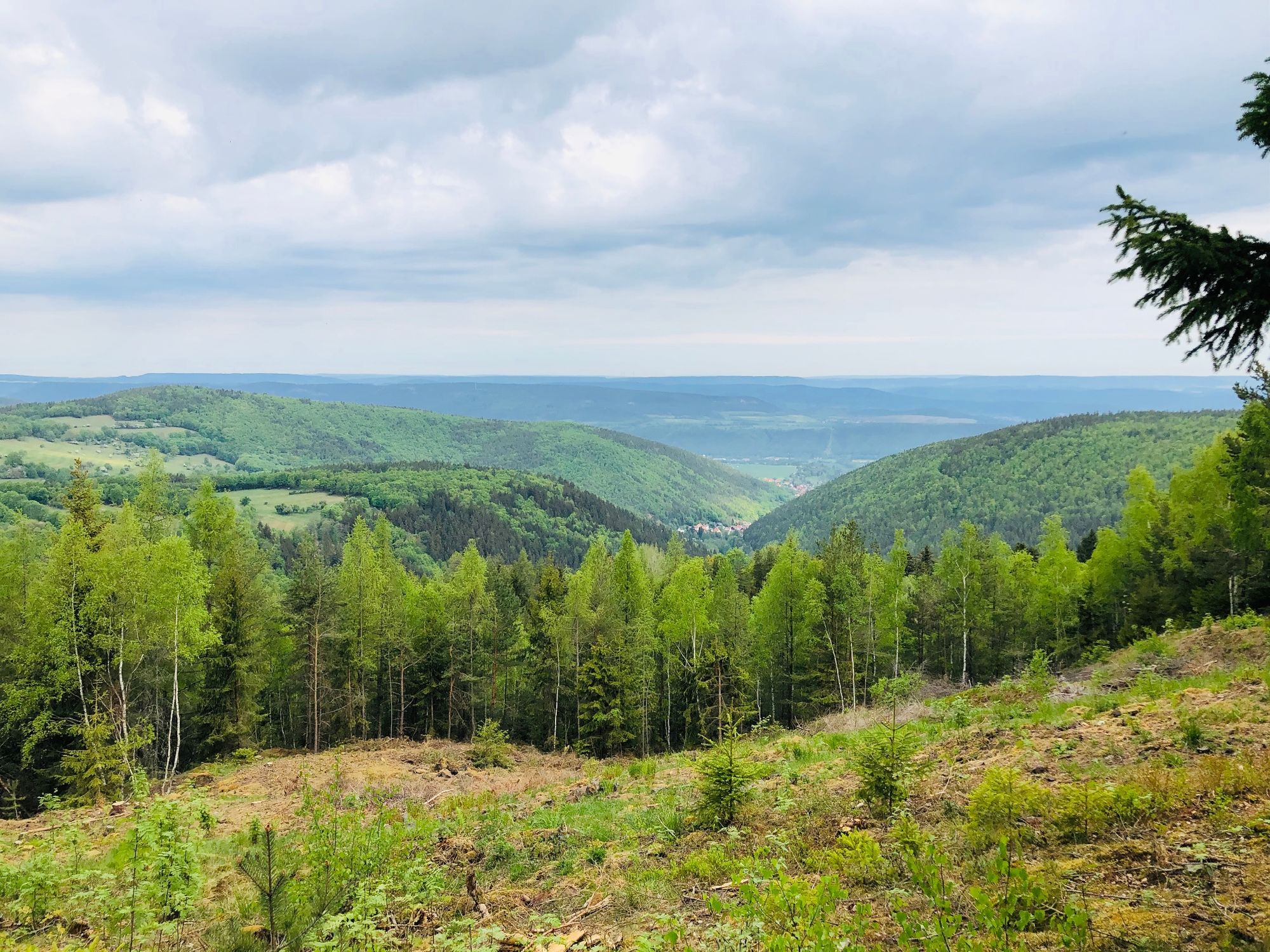
Along excavation sites and spoil heaps, you ascend to the summit cross on the Eisenberg (636 m, rest area), from where there is a wonderful view of the northern foreland of the Thuringian Forest. Past...
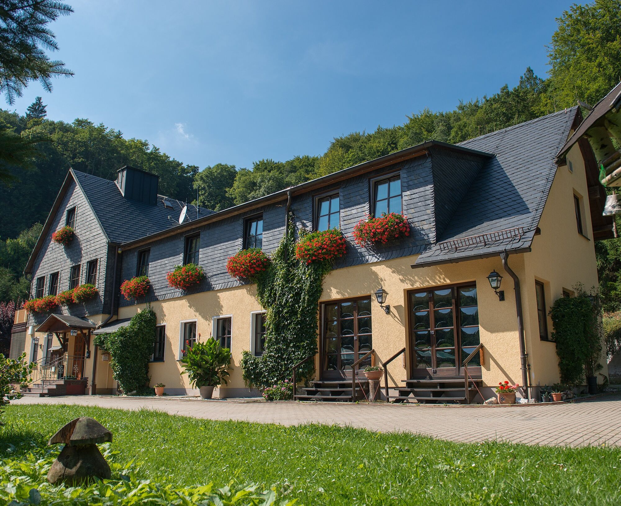
Along excavation sites and spoil heaps, you ascend to the summit cross on the Eisenberg (636 m, rest area), from where there is a wonderful view of the northern foreland of the Thuringian Forest. Past the Hotel Mellestollen (refreshment opportunity) the route runs through the Wittmannsgereuther Valley. Iron ore was mined here until the last century and transported by a 10 km-long cableway to the Maxhütte. At Wachserzweg information panels explain the history of local mining. From the bus stop in Unterwirbach, walk to the church. Opposite it, the hiking trail marked with a yellow cross-stripe begins. The entry point is somewhat hard to find. After a few meters, you reach the Three-Cities Trail. Follow the joint path of both trails uphill in switchbacks. Then follows a longer steep ascent. At Röderberg, both paths separate. Follow the yellow marking further uphill. Over the Eichköpfe, Schautalskopf you reach the Rondell. Here turn left. Shortly after, you reach the Blockhalde fork. If you wish, you can make a detour to the Blockhalde. Follow the trail marking towards the summit cross/Eisenberg. To reach the summit cross, briefly leave the main path. At the summit cross, a beautiful large cabin awaits you and a wonderful view to the northern foreland of the Thuringian Forest. After a short break, continue on the yellow-marked main path to Lehmborn, at the forest edge. From here the hike continues left without markings. It is advisable to use a GPS device with the mapped route to Hotel Mellestollen. The walk follows narrow paths always near the forest edge over the Gehrensteiner Wasserlöcher, Fuchsloch to Hotel Mellestollen. Here is a refreshment opportunity. From the hotel entrance, a small staircase leads down to the access road. Follow the road downhill into the valley. On the left side of the road, a path marked with a yellow square begins. The path winds along the Siechenbach through the Wittmannsgereuther Valley to the entrance to Saalfeld. In the Wittmannsgereuther Valley stood a powder mill that exploded in an accident. Cross over a small wooden bridge to the right side. Shortly after, you stand at the foot of Spitzberg. From here, go straight on the street "Am Spitzberg" and then on the "Wachserzweg" path to the junction "Zum Brendelsgarten." Here turn right, then after a few meters turn left again, and on your right is the Thuringia Clinic.


Type:
Point-to-point hike
Route:
(Bus ride) Unterwirbach - Eisenberg summit cross - Rondell - Mellestollen - Wachserzweg - Thuringia Clinic
Marking:
yellow line, blue triangle, partly unmarked
Da
sturdy footwear
rain gear
first aid kit
GPS device or smartphone
drink supply
The marking is not continuous!
Please be aware of the typical forest hazards and follow the instructions of the Thuringia forestry staff.
Please take any trash you may have generated with you!
Stop Thuringia Clinic Saalfeld, bus line S 2 towards Rudolstadt, (half-hourly on weekdays, hourly on weekends) Saalfeld - Unterwirbach - hike starts from bus stop Unterwirbach / Thuringia Clinic Saalfeld
Please use this link for journey planning and just add your starting point and desired travel period:
Parking lot/garage Thuringia Clinic Saalfeld, Rainweg 68
Refreshment opportunity at the Waldhotel Mellestollen
Priljubljeni izleti v okolici
-
4.9
Circular hiking trail - H5 "The Water Route" - Thuringian Forest
srednjaPohodništvo 6.58 km -
4.8
Circular hiking trail - "To the most beautiful viewpoints" - Thuringian Forest
srednjaPohodništvo 12.8 km -
4.5
Circular route - “To the Strudel pots of the Schwarza” - Starting point at the Chrysopras weir - Bad Blankenburg
srednjaPohodništvo 9.01 km -
Circular hiking trail - "Sculpture Trail" - Hiking start Unterweißbach - Thuringian Forest
srednjaPohodništvo 24.4 km -
4.7
Circular hiking route - H3 "The Bird's Eye View" - Thuringian Forest
srednjaPohodništvo 8.78 km -
Circular hike - "Friedrich Fröbel" - Bad Blankenburg
težkoPohodništvo 14.1 km -
5.0
Urwaldpfad Leutenberg - Thuringian Urwaldpfade
srednjaPohodništvo 6.82 km -
5.0
Meurasteine, Talsperre Leibis-Lichte
srednjaPohodništvo 13.4 km -
Circular trail - Saugartenpfad - Hiking start at Chrysopraswehr - Bad Blankenburg
srednjaPohodništvo 8.39 km -
Panoramaweg Schwarzatal - Stage 1 Schwarza to Schwarzburg - Thuringian Forest
težkoPohodništvo 15.4 km

Pohodništvo in sledenje


Ne zamudite ponudb in navdiha za naslednje počitnice
Vaš e-poštni naslov je bil dodan na poštni seznam.





