







Panoramaweg Schwarzatal - Stage 1 Schwarza to Schwarzburg - Thuringian Forest

Stopnja težavnosti: T2
One of the most beautiful hiking trails in the eastern Thuringian Forest at the border to the Thuringian Sea and the Thuringian Slate Mountains begins between Bad Blankenburg and Rudolstadt in the small...
One of the most beautiful hiking trails in the eastern Thuringian Forest at the border to the Thuringian Sea and the Thuringian Slate Mountains begins between Bad Blankenburg and Rudolstadt in the small village of Schwarza.
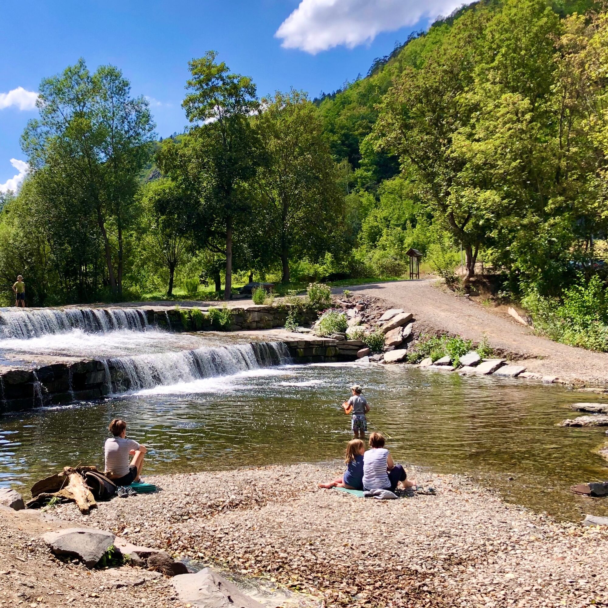
The first stage on the Panoramaweg Schwarzatal leads over almost 16 km to the southwest, away from the Saale towards dense forests. After a short detour to Bad Blankenburg, follow the river upstream along the Schwarza's bank.
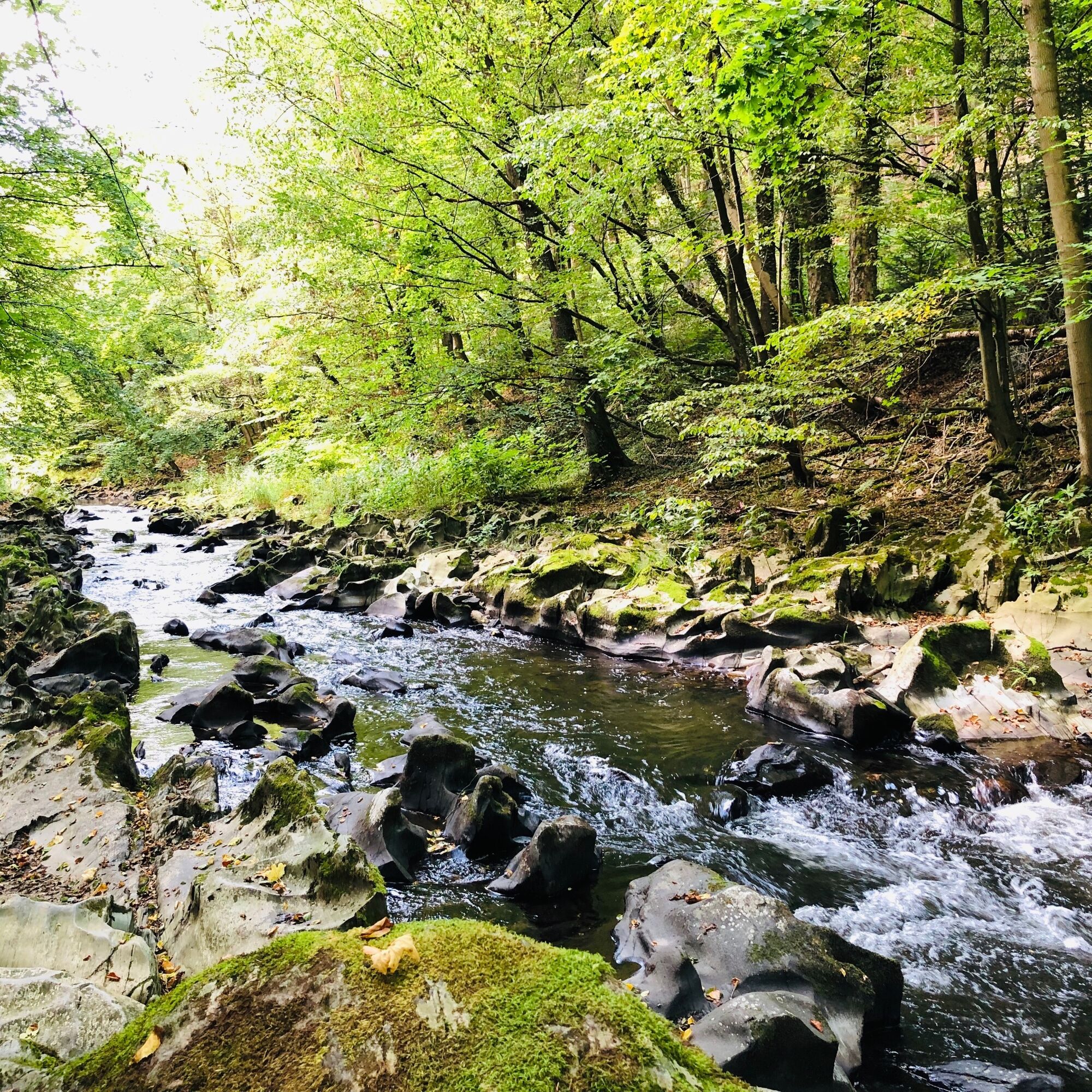
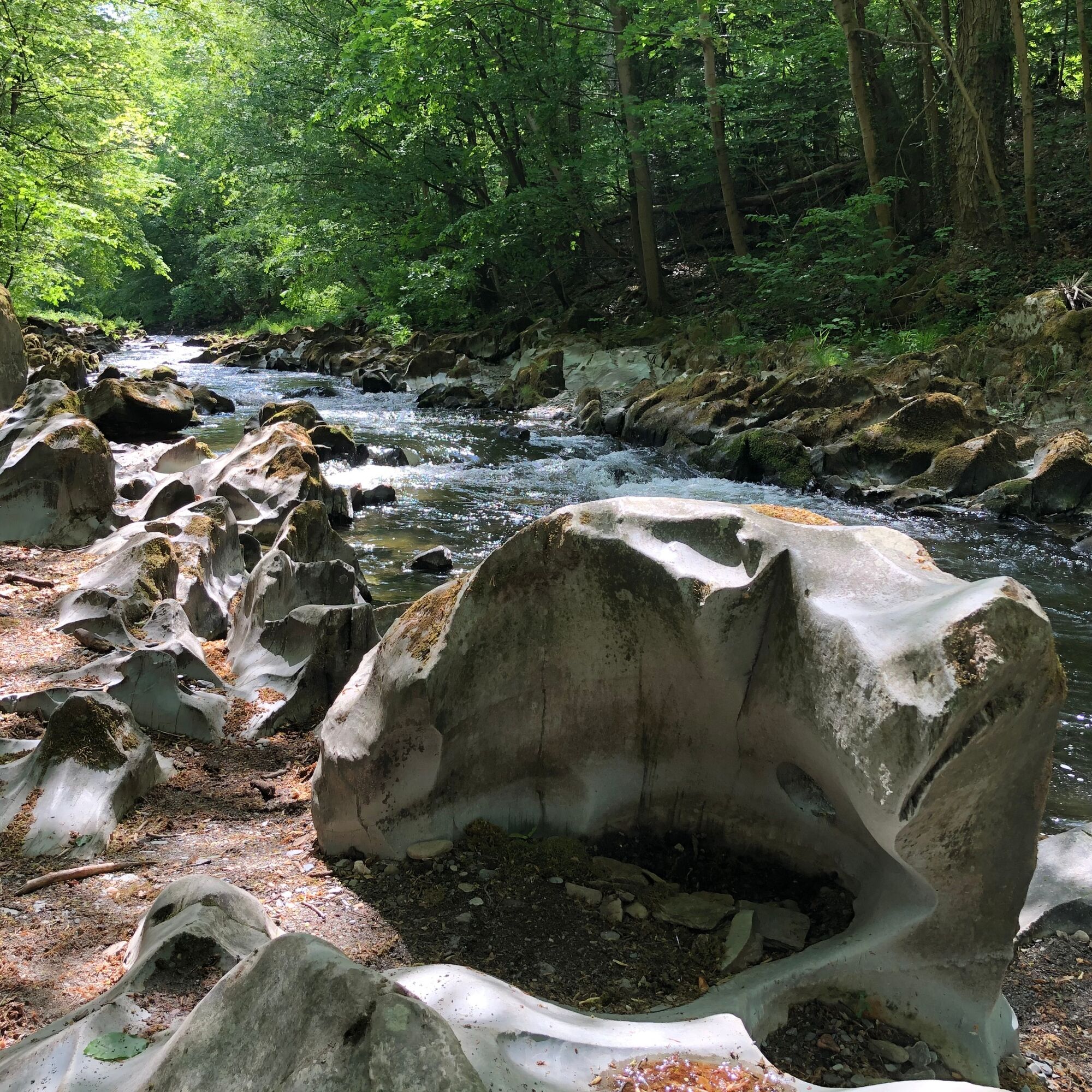
Between Bad Blankenburg and Schwarzburg, the path runs for almost 10 km through a deeply cut gorge valley. Geological features here besides the steep rock cliffs are the so-called swirl pots, which can occasionally be seen in the riverbed of the Schwarza. Here, over thousands of years, the water has washed away the soft rock and thus formed the unique structures for which the river is so well known.
At the end of the stage, you reach the Forest Botanical Garden near Schwarzburg via the ridges. On the 6-hectare woodland area, you will find over 250 different region-typical plant species.
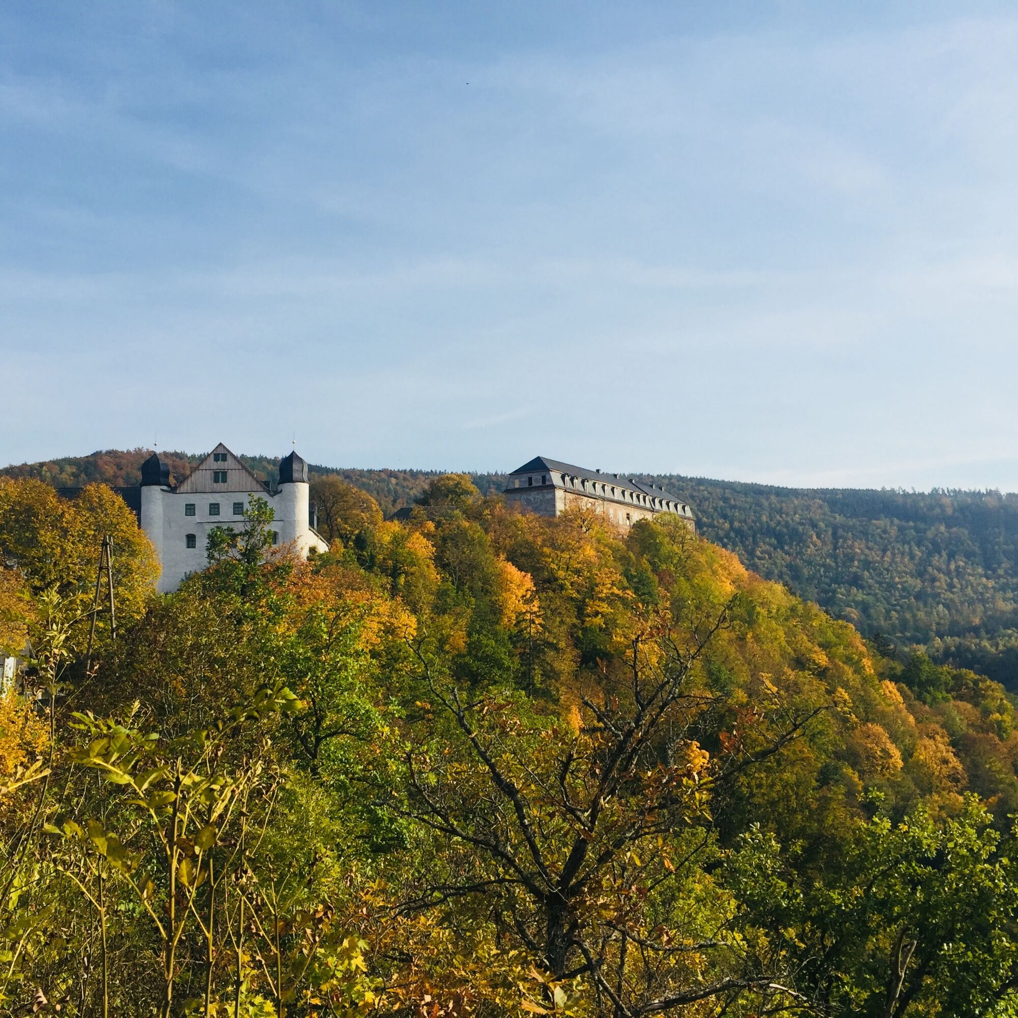
The proud Schloss Schwarzburg with the armory and the Emperor's Hall towers visible over the valley.

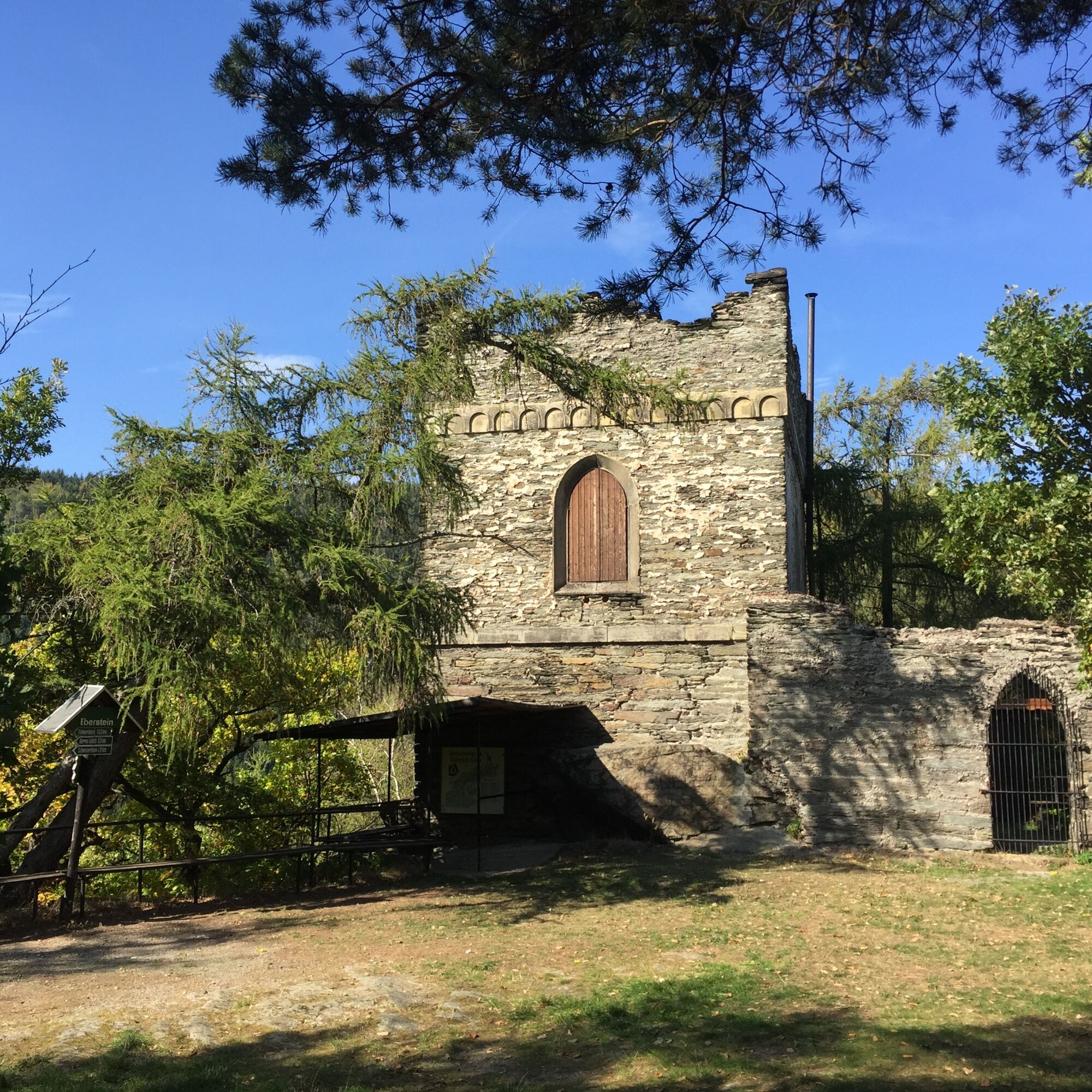
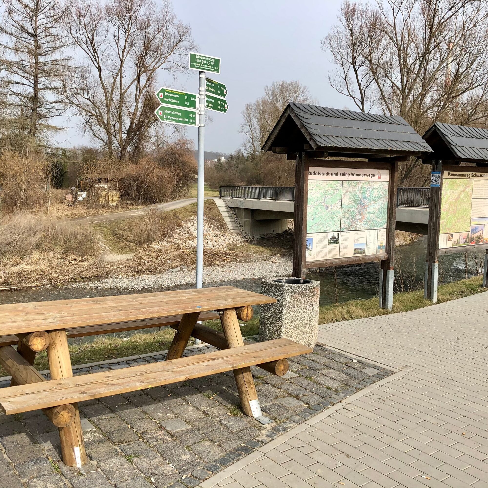
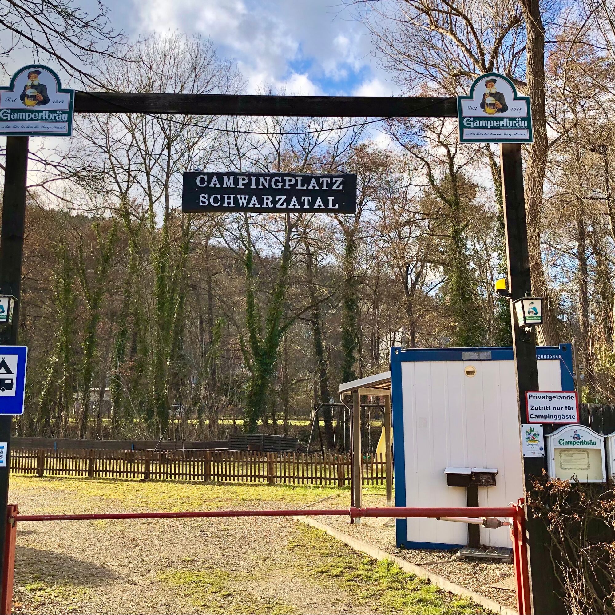
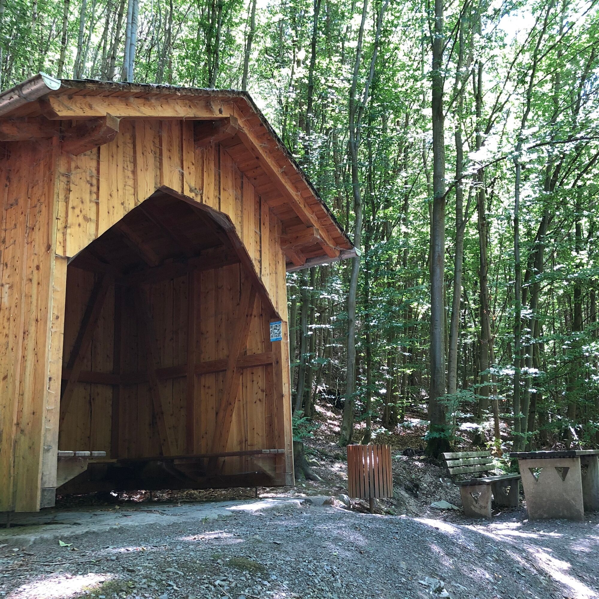

Schwarzamündung - Bad Blankenburg - Chrysopras-Weir - Eberstein - Schweizer Haus - Dürres Schild Shelter - Viehruh - Schwarzburg
Da
Sturdy footwear, rainwear for bad weather.
Be aware of the typical dangers of the forest!
Entering is at your own risk!
Coming from the A9, exit 26 (Triptis) and continue on the B281 towards Neustadt an der Orla.
Follow the B281 to Saalfeld and stay on the main route B281/B85 heading west, then continue on the B85 towards Rudolstadt.
Shortly before crossing the Saale, turn left onto the B88 towards Bad Blankenburg. After about 600 m you reach the hiking car park.
You can travel comfortably by train to Schwarza near Rudolstadt either via Erfurt - Ilmenau or from the direction of Jena or Saalfeld. Use the German Rail Travel Information. Select "Schwarza Bremer Hof, Rudolstadt" as your destination. Bus connections from the station to the destination stop are displayed.
If you do not stay overnight in Schwarzburg or continue your hike on stage 2, you can relax on the Schwarzatalbahn back to Bad Blankenburg / Rudolstadt (trains run hourly between 6 am and 9 pm).
Please note, however, that the station in Schwarzburg is located on the opposite side of the valley (west of the hotel "Weisser Hirsch") and a small climb to the platform must be overcome.
Use the hiking car park in Schwarza / Rudolstadt (NAV-LINK)
T2
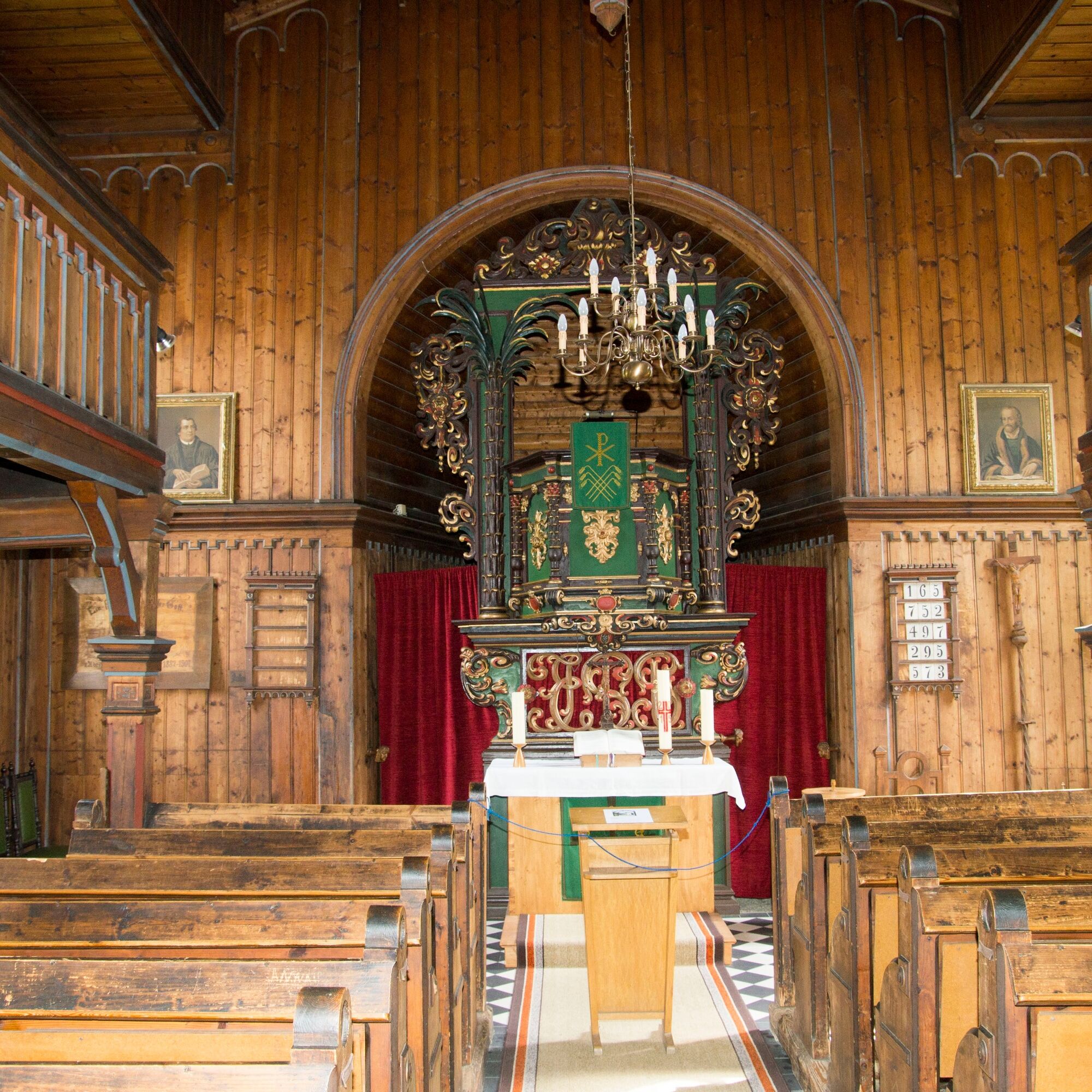
Pay a visit to the valley church in Schwarzburg. A special feature is the completely wooden-panelled nave.
Priljubljeni izleti v okolici
-
4.8
Circular hiking trail - "To the most beautiful viewpoints" - Thuringian Forest
srednjaPohodništvo 12.8 km -
4.5
Circular route - “To the Strudel pots of the Schwarza” - Starting point at the Chrysopras weir - Bad Blankenburg
srednjaPohodništvo 9.01 km -
Circular hiking trail - "Sculpture Trail" - Hiking start Unterweißbach - Thuringian Forest
srednjaPohodništvo 24.4 km -
Circular hike - "Friedrich Fröbel" - Bad Blankenburg
težkoPohodništvo 14.1 km -
5.0
Meurasteine, Talsperre Leibis-Lichte
srednjaPohodništvo 13.4 km -
Circular trail - Saugartenpfad - Hiking start at Chrysopraswehr - Bad Blankenburg
srednjaPohodništvo 8.39 km -
4.0
Circular hike - "Round route 3" - start and finish country hotel Edelhof Kolkwitz - Thuringia
srednjaPohodništvo 9.42 km -
5.0
Kulm route
srednjaPohodništvo 9.39 km -
3.0
Circular route - "On archaeological trail of King Otto I." - Saale region
svetlobaPohodništvo 6.55 km -
5.0
Circular hiking trail - Nature educational path Lichtenhain - Hiking start Lichtenhain
srednjaPohodništvo 8.08 km

Pohodništvo in sledenje


Ne zamudite ponudb in navdiha za naslednje počitnice
Vaš e-poštni naslov je bil dodan na poštni seznam.





