







Terrain therapy trail Saalfeld - No. 5
Stopnja težavnosti: T1
The hike starts at the Steiger hiking car park in Saalfeld.
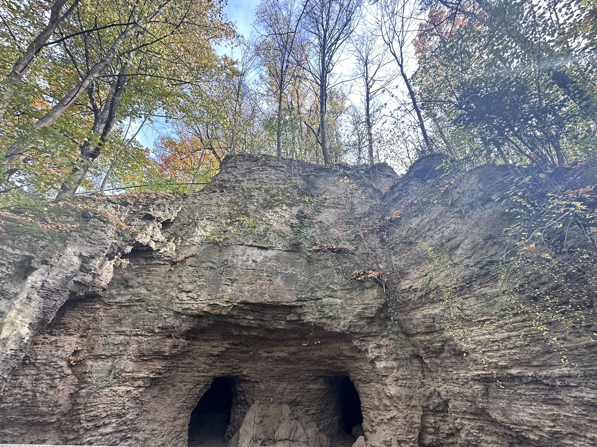
The path first leads over the so-called “Sour Meadows Path” toward the Feengrotten. Before reaching them, the path turns right toward the town....
The hike starts at the Steiger hiking car park in Saalfeld.
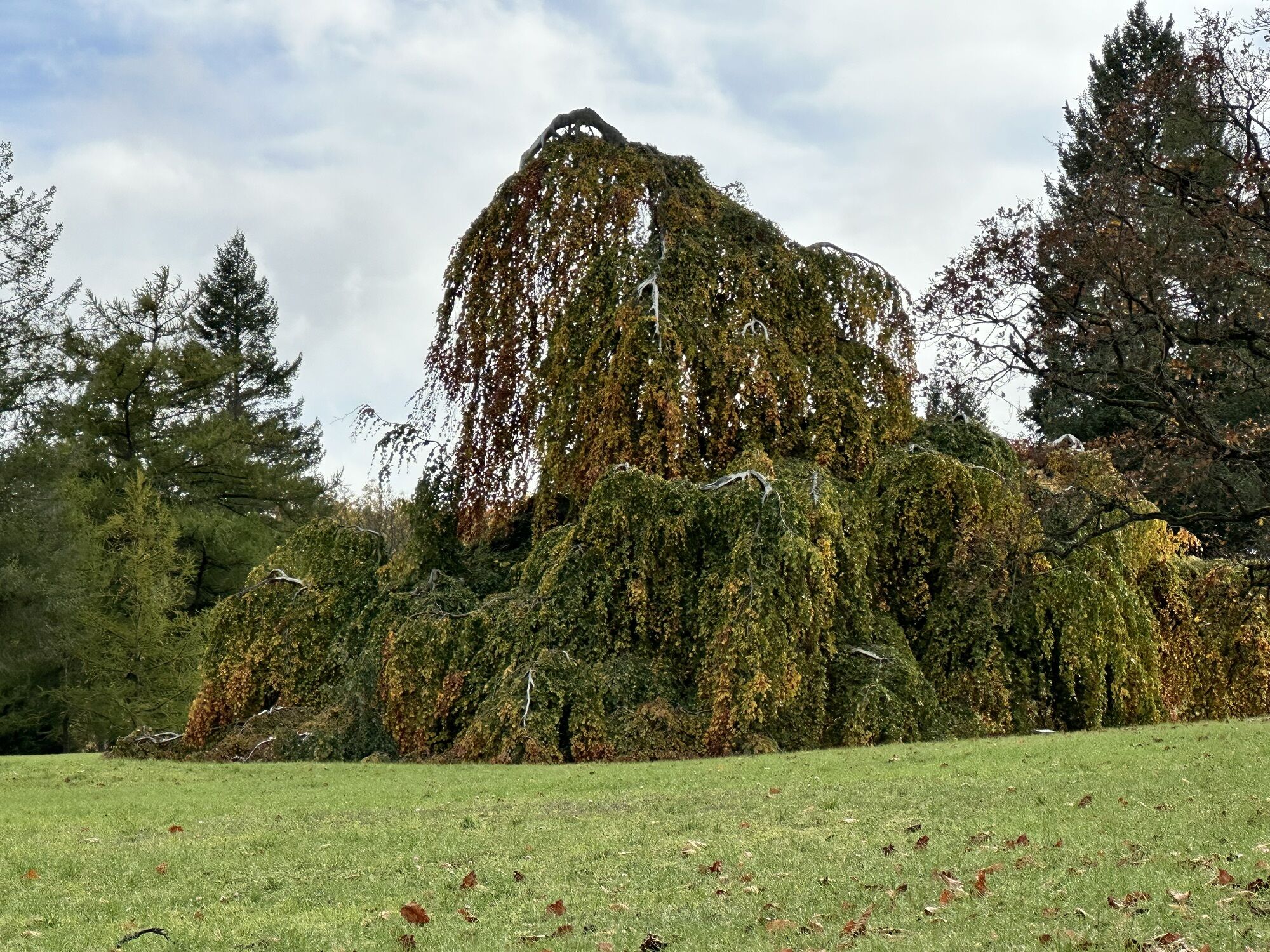
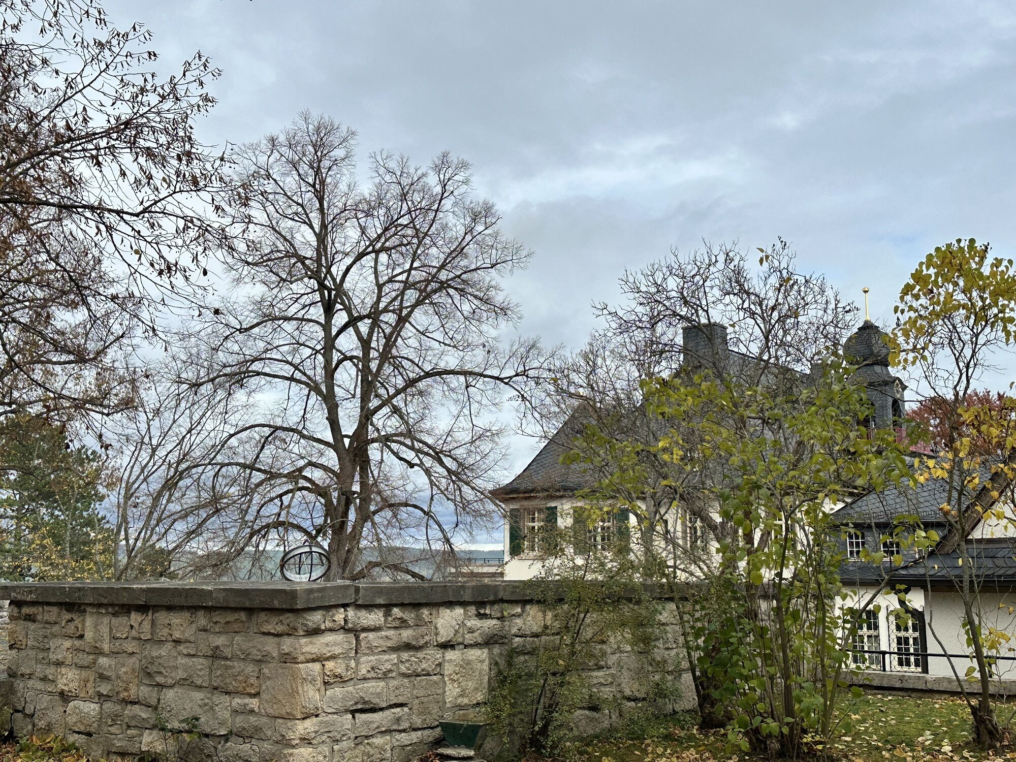
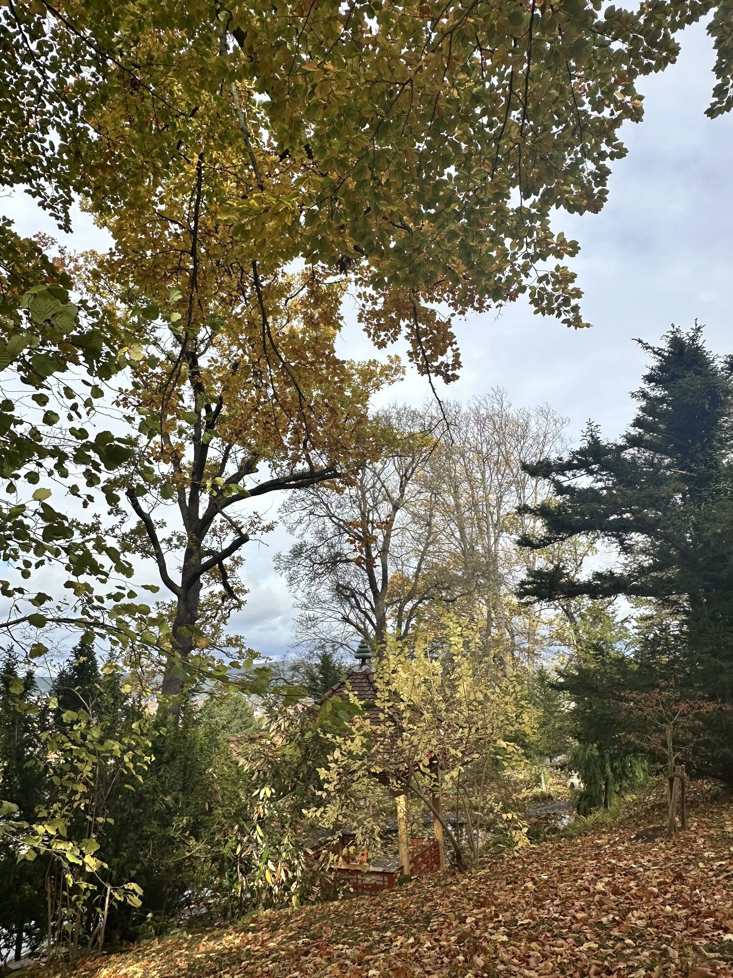
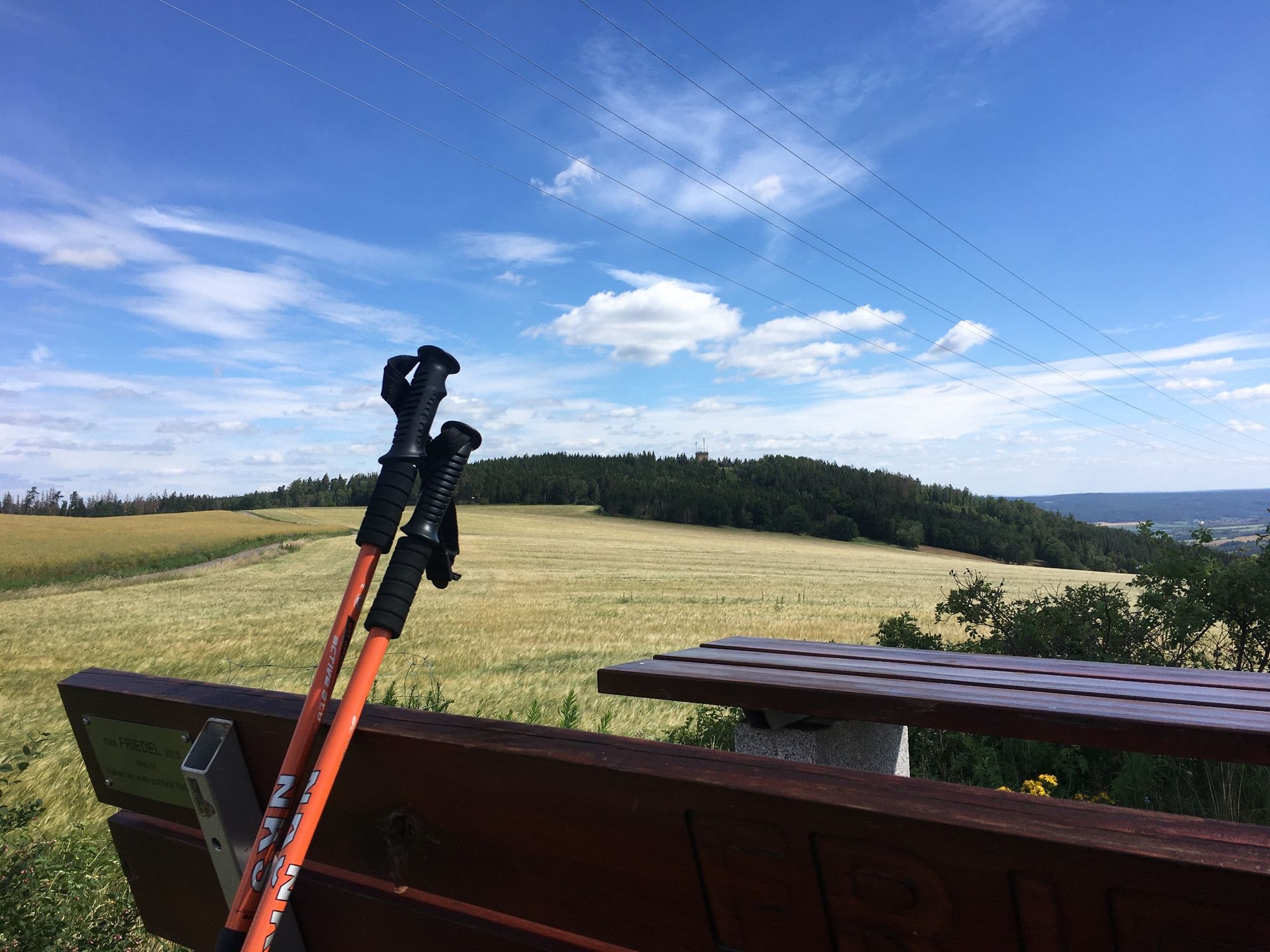
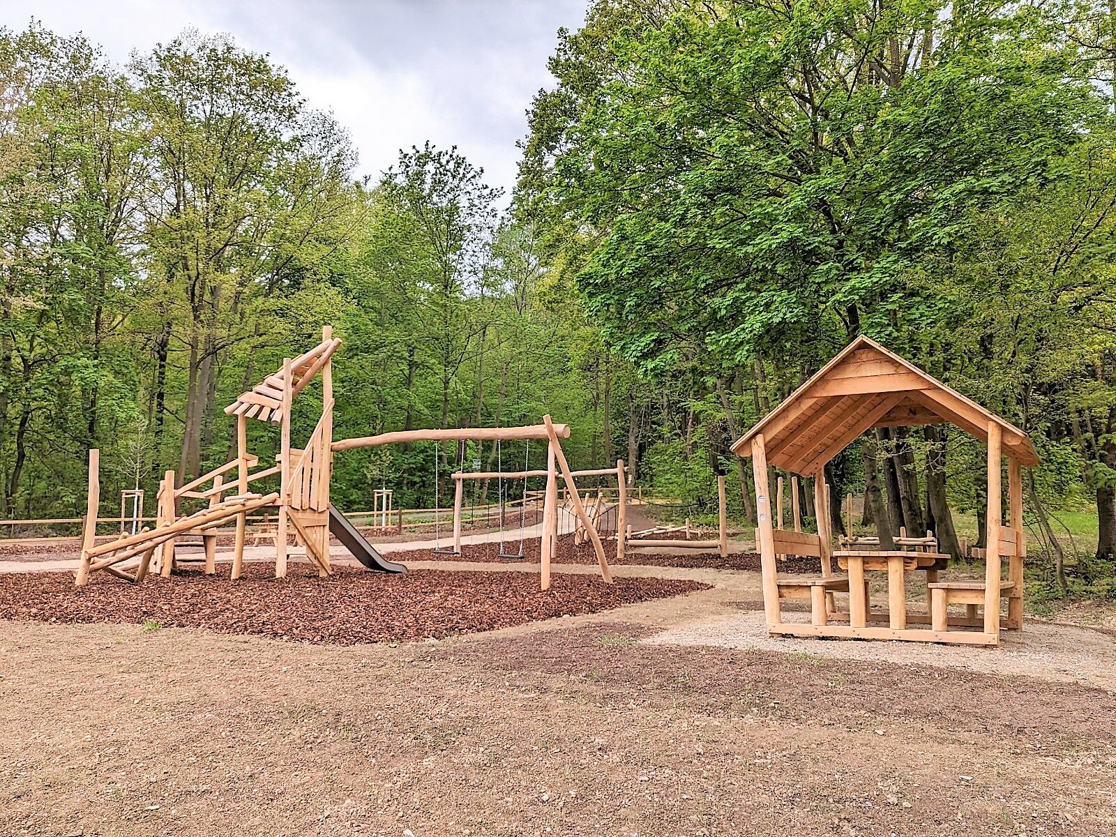
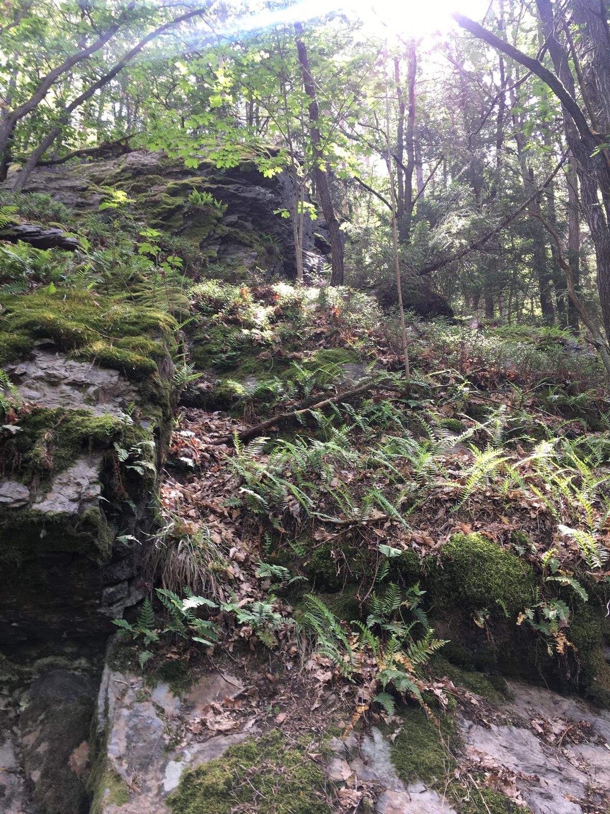
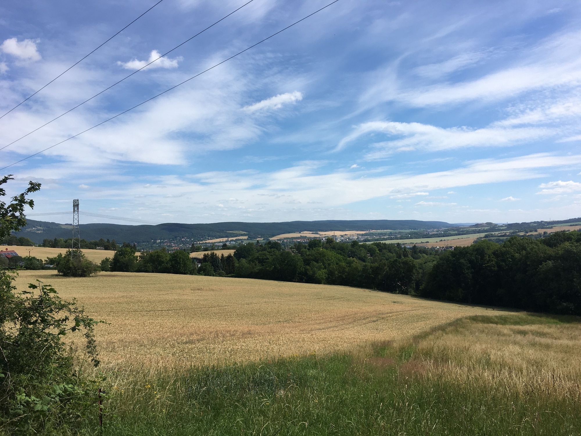
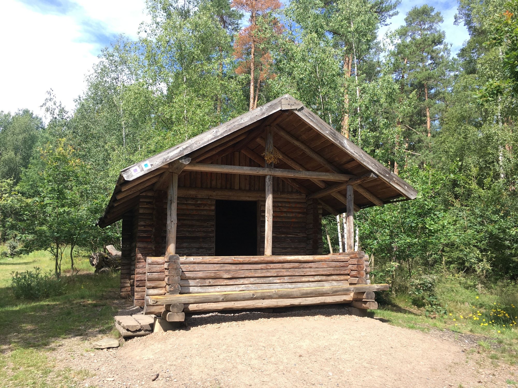
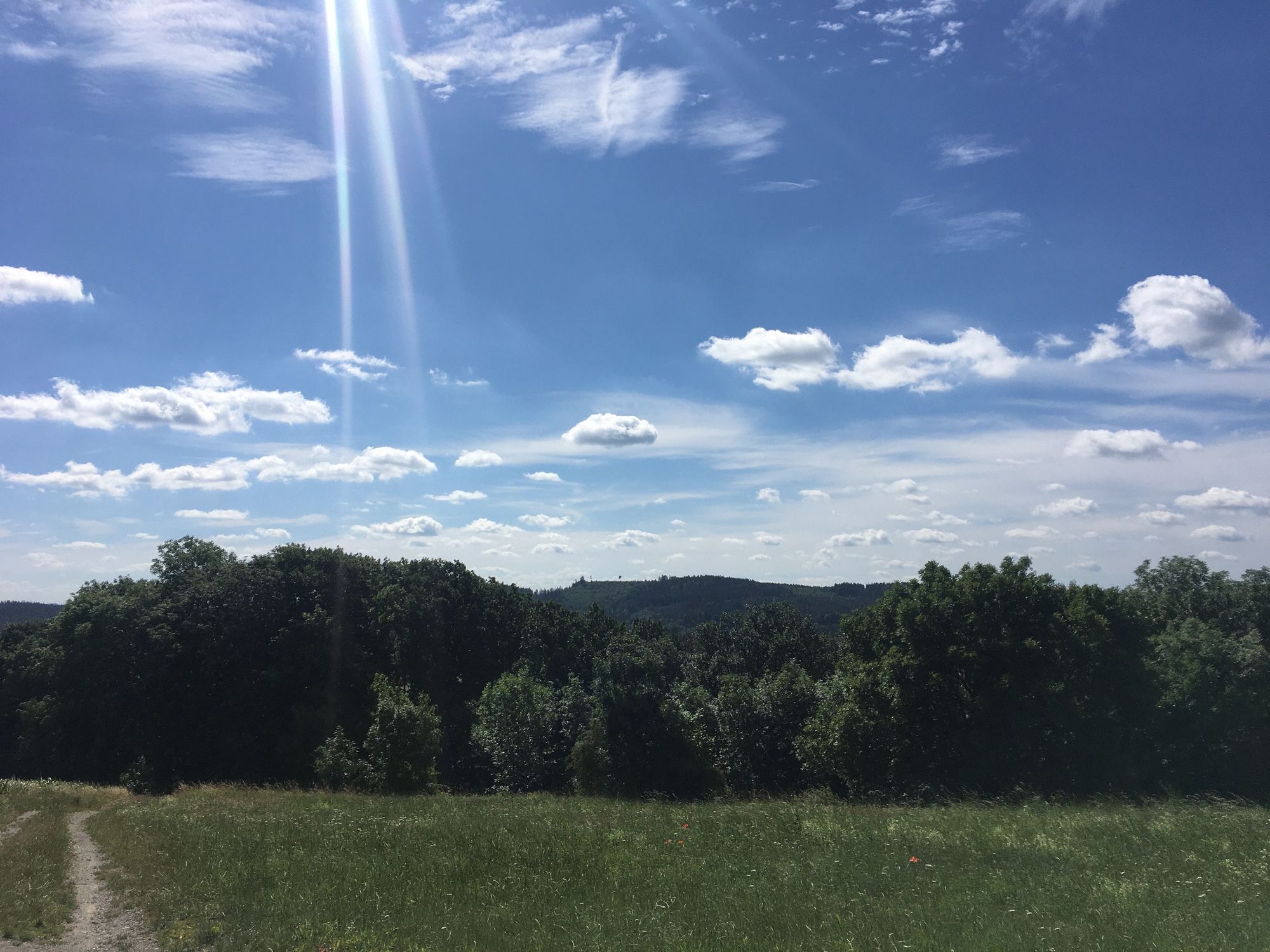
The path first leads over the so-called “Sour Meadows Path” toward the Feengrotten. Before reaching them, the path turns right toward the town. Going downhill you reach Bergfried Park. Those who want to take a short break here can view the free exhibition in the gardener’s house at the foot of the mountain. Then it goes uphill through the magnificent park area to the Bergfried Clinic. The Fox Tower is left behind on the left, and instead, the path follows toward a small woodland. Then a gentle climb begins through the Saalfeld fields until you finally reach the Steiger hiking car park again.


Type:
circular hiking trail
Route:
Steiger hiking car park - Bergfried Park - Bergfried Clinic - Steiger hiking car park
Marking:
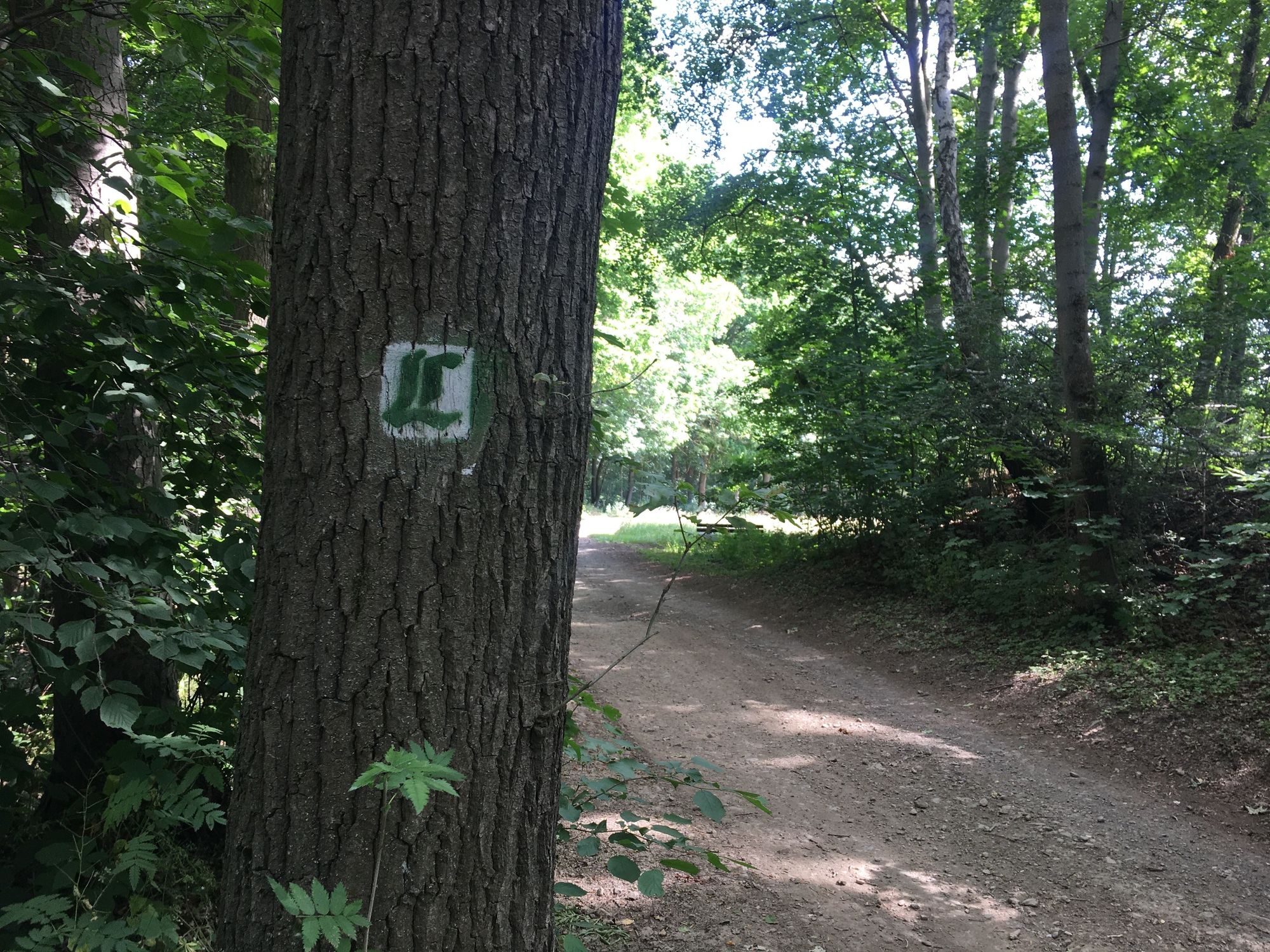
Number 5 on white background
sturdy footwear
rainwear
first aid kit
GPS device or smartphone
drink supply
Please observe the "forest etiquette" of ThüringenForst.
Arrival by car
Address: Tourist Information Saalfeld, Markt 6, 07318 Saalfeld
From the west:
Take the A71 exit at Stadilm and continue on the B90 to SaalfeldFrom the south:
Exit the A73 at Eisfeld and follow the B281 toward Neuhaus am Rennweg On the B85 from KronachFrom the east:
Exit the A9 at Lobenstein and follow the B90 toward Lobenstein Exit the A9 at Triptis and follow the B281 toward PößneckFrom the north:
Exit the A4 at Jena-Göschwitz and follow the B88 toward Rudolstadt (Note: currently a long-term construction site in Rothenstein)ARRIVAL BY TRAIN
Arrival with Deutsche Bahn: Travel comfortably, stress- and congestion-free with Deutsche Bahn trains from all directions to Saalfeld. From Saalfeld station you can reach the Tourist Information at Markt 6 quickly and easily by bus.
ARRIVAL BY CITY BUS / LONG-DISTANCE BUS
Direction: Station - Markt, Line A - daily every half hour at xx:10 and xx:40 from the station
Direction: Markt - Station, Line A - daily every half hour at xx:14 and xx:44 from Markt
Overview sketch of boarding points at the Saalfeld bus station
For a fee of 2 €, you can use the parking lot on Knochstraße all day. Here is the navigation point.
T1
Places to eat:
Gastronomy at Hotel Bergfried Gastronomy in the historic town center of Saalfeld

Priljubljeni izleti v okolici
- 4.9
Circular hiking trail - H5 "The Water Route" - Thuringian Forest
srednjaPohodništvo 6.58 km - 4.8
Circular hiking trail - "To the most beautiful viewpoints" - Thuringian Forest
srednjaPohodništvo 12.8 km - 4.5
Circular route - “To the Strudel pots of the Schwarza” - Starting point at the Chrysopras weir - Bad Blankenburg
srednjaPohodništvo 9.01 km - 4.7
Circular hiking route - H3 "The Bird's Eye View" - Thuringian Forest
srednjaPohodništvo 8.78 km - 4.0
Circular route - "Wichtelweg" - Wilhelmsdorf
svetlobaTematska pot 2 km Circular hike - "Friedrich Fröbel" - Bad Blankenburg
težkoPohodništvo 14.4 km- 5.0
Urwaldpfad Leutenberg - Thuringian Urwaldpfade
srednjaPohodništvo 6.82 km Circular trail - Saugartenpfad - Hiking start at Chrysopraswehr - Bad Blankenburg
srednjaPohodništvo 8.39 km- 4.0
Circular hike - "Round route 3" - start and finish country hotel Edelhof Kolkwitz - Thuringia
srednjaPohodništvo 9.42 km Panoramaweg Schwarzatal - Stage 1 Schwarza to Schwarzburg - Thuringian Forest
težkoPohodništvo 15.4 km
Pohodništvo in sledenje


Ne zamudite ponudb in navdiha za naslednje počitnice
Vaš e-poštni naslov je bil dodan na poštni seznam.





