


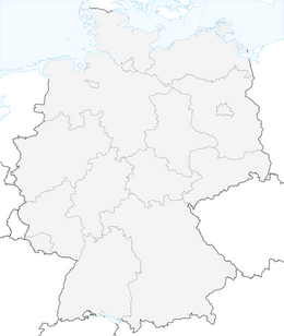


MTB Saalfeld 15: Height meter trail route

Stopnja težavnosti: S2
The route is just right for experienced mountain bikers who like to ride trails and many meters of elevation. Starting in Saalfeld, the route first goes to Remschütz. Over a sandy and rooty climb, it passes...
The route is just right for experienced mountain bikers who like to ride trails and many meters of elevation. Starting in Saalfeld, the route first goes to Remschütz. Over a sandy and rooty climb, it passes the Remschütz Sandberg (where sand and sandstone were mined in the 19th and 20th centuries) to Dorfkulm. The path continues over narrow and steep sections to the Kulmberghaus. Here you can take a short break and enjoy the beautiful view over the Saale region from the observation tower. It then continues over flowing single trails back down to the valley at Oberpreilipp. From there, very narrow and winding forest trails lead east until reaching the Marienturm. Here you can stop for food and enjoy the view over Rudolstadt and the surroundings. There follow challenging and demanding single trails to Langenschade. Finally, it goes over Ameisen- and Katzenhügel, until a steep and technically demanding descent leads back to the Remschütz sand pit. From here, the way leads back to the starting point of the route.

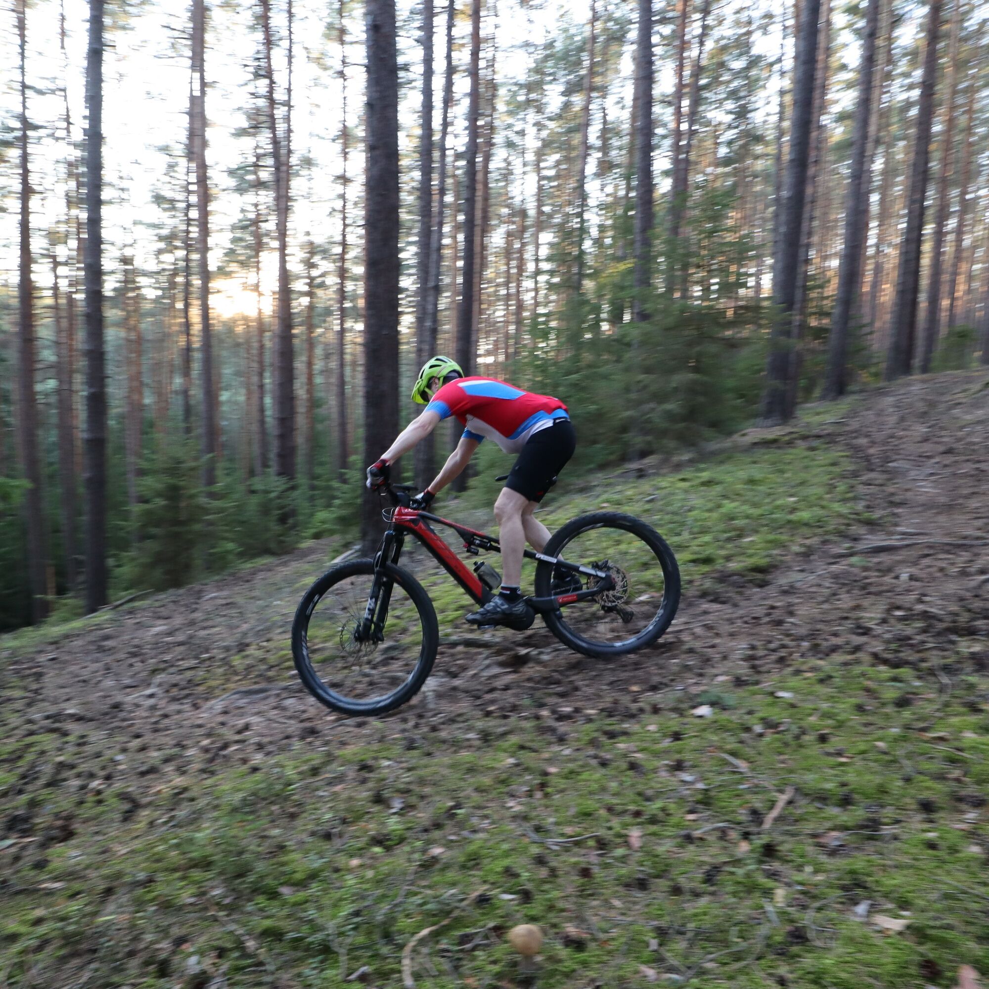
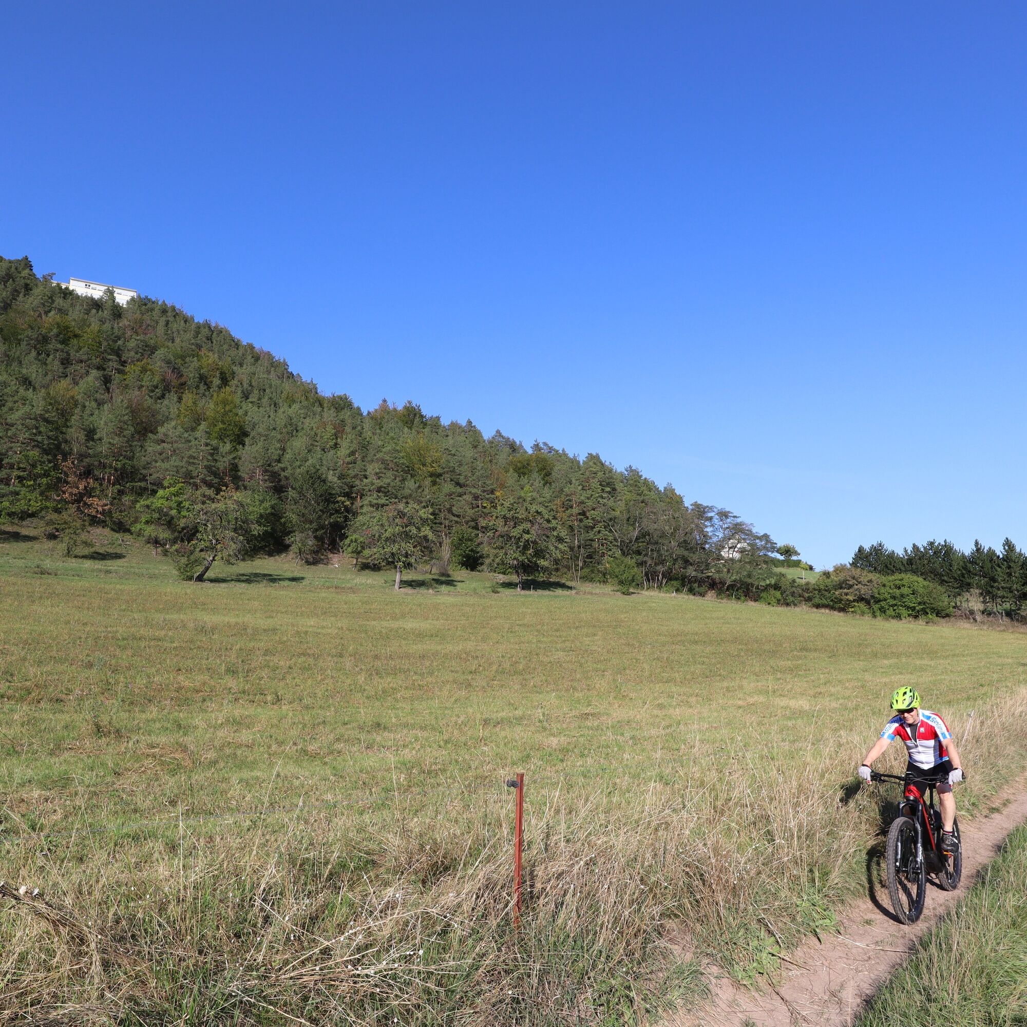
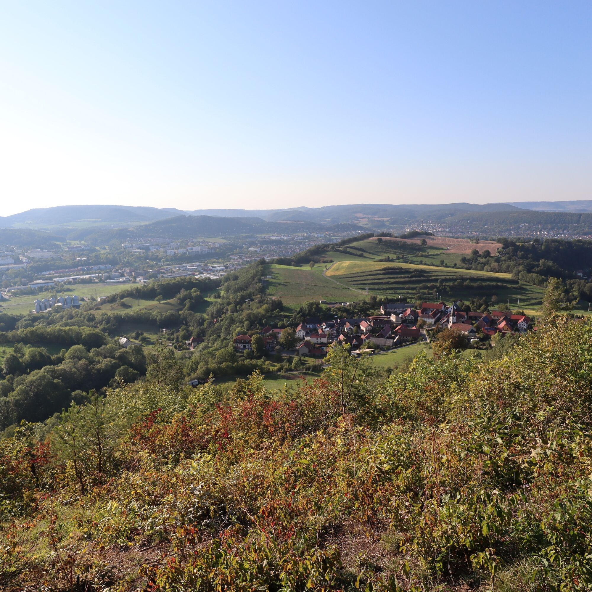
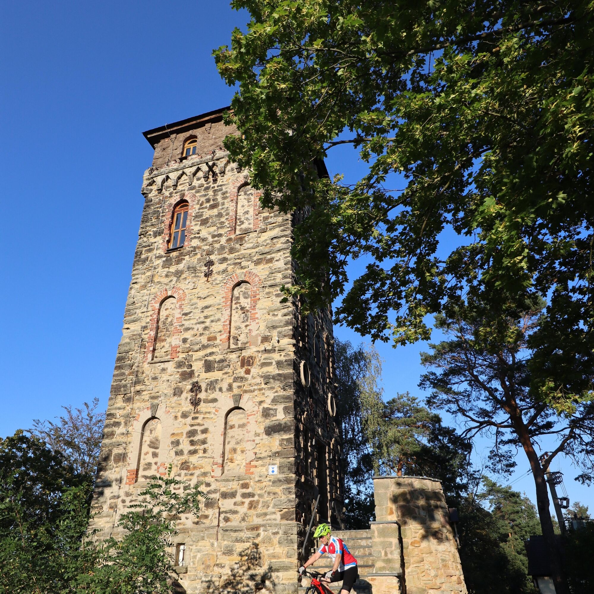
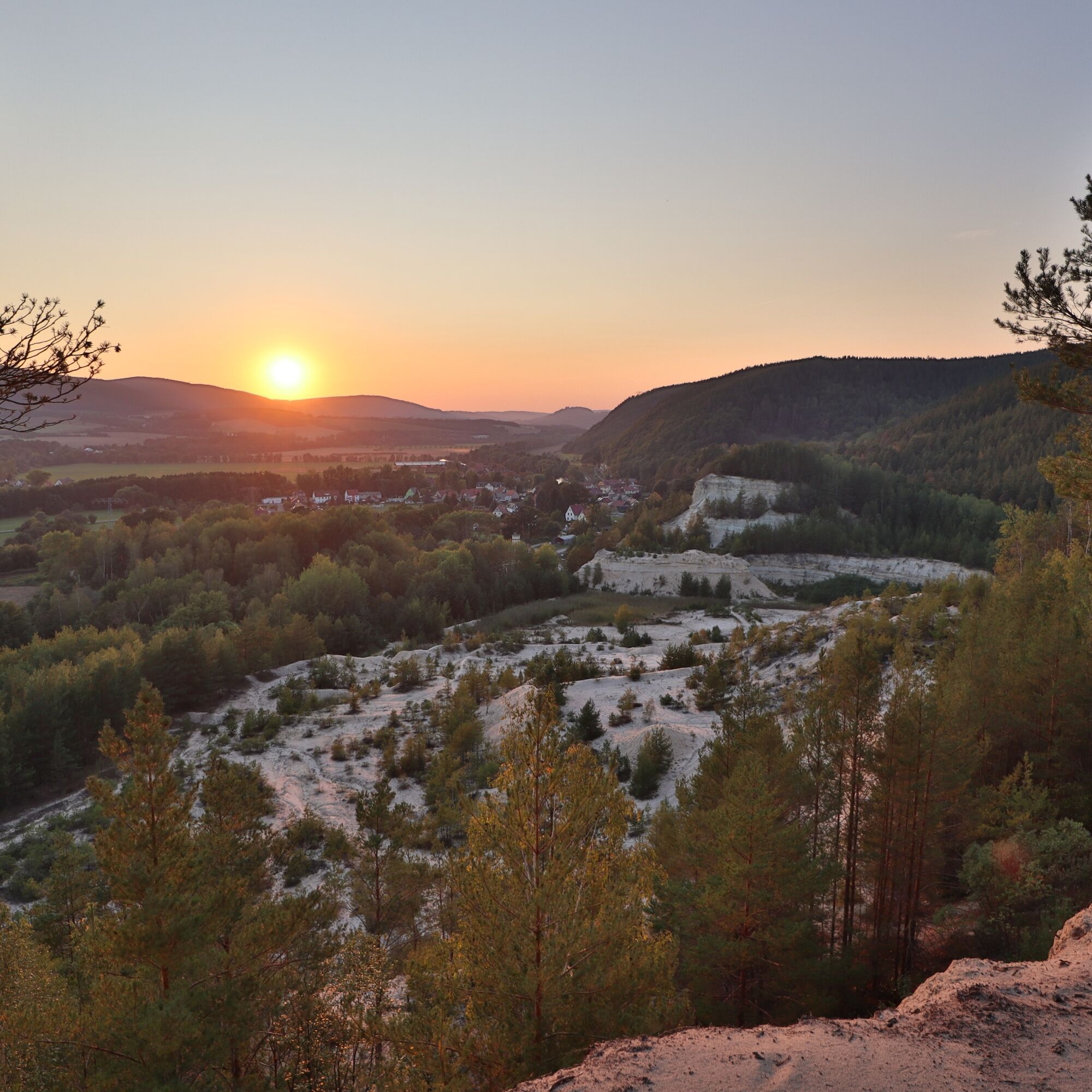
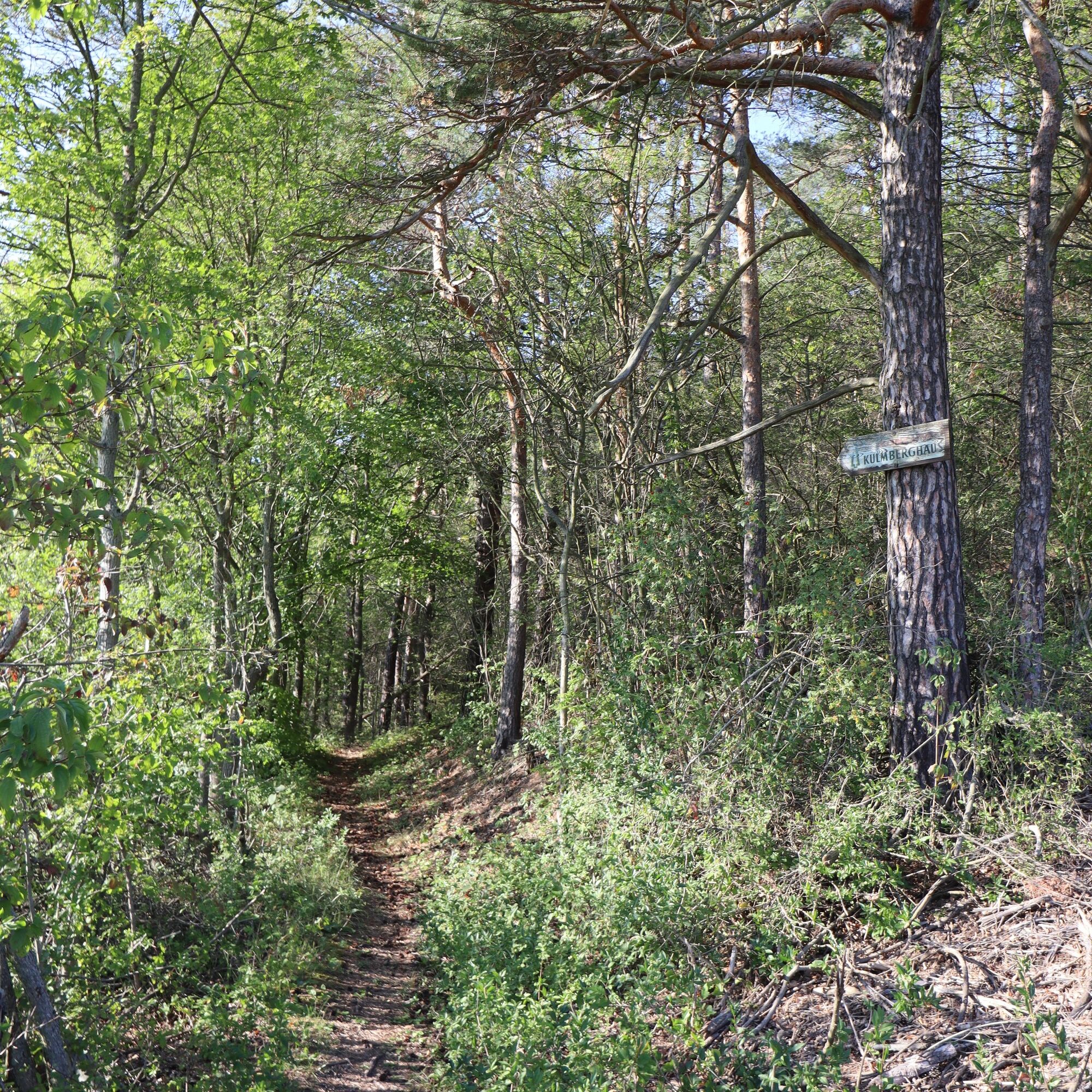

Saalfeld - Remschütz - Kulmberghaus - Oberpreilipp - Langenschade - Remschütz - Saalfeld
Full-suspension mountain bike is recommended but not mandatory. A bike helmet is part of the basic equipment, of course. Cycling glasses and gloves are advisable. A small daypack with some provisions and drinks can be useful.
â Bike recommendation: All routes can of course also be ridden with a modern and well-equipped e-mountain bike.
The route is not marked by signposts.
Riding the route is at your own risk.
Currently, there is an increased danger in the forest due to dying trees.
More information is available in the Thuringian Forest Law.
Trail tolerance: You will be alone and remote on large parts of the trail. Naturally, there will also be path sections or places where you will meet other nature lovers, whether hikers, riders, or others. All user groups in the forest share the joy of being active outdoors. Therefore, a friendly and respectful interaction is selbstverständlich. As a mountain biker, you ride defensively when you encounter others. A short stop and a friendly greeting contribute greatly to a positive image of mountain bikers!
From the west:
Exit the A71 at the Stadilm junction and continue on the B90 to SaalfeldFrom the south:
Exit the A73 at the Eisfeld junction and follow the B281 towards Neuhaus am Rennweg On the B85 from KronachFrom the east:
Exit the A9 at the Lobenstein junction and follow the B90 towards Lobenstein Exit the A9 at the Triptis junction and follow the B281 towards PößneckFrom the north:
Exit the A4 at the Jena-Göschwitz junction and follow the B88 towards RudolstadtBy train to Saalfeld station. Saalfeld is very well and regularly accessible by various regional express connections with bike transport from the areas of Erfurt, Leipzig, Gera and Nuremberg.
For travel planning, the Deutsche Bahn travel portal can be used at the following link:
From Saalfeld station, follow the signs to the Saale cycle path: after about 800 m you will reach the cycle path via the Carl Zeiss Bridge, now downstream towards Weidig.
Various free and paid parking lots in the Saalfeld city area.
At the station (Google NAV point) and at Weidig (Google NAV point) there is sufficient parking available
S2
For a stress-free retracing of the route, the author recommends using the GPS track of the route (GPX). Navigation with the help of a GPS device or a smartphone app makes finding your way much easier in some sections.
Priljubljeni izleti v okolici
-
4.9
Circular hiking trail - H5 "The Water Route" - Thuringian Forest
srednjaPohodništvo 6.58 km -
4.8
Circular hiking trail - "To the most beautiful viewpoints" - Thuringian Forest
srednjaPohodništvo 12.8 km -
4.5
Circular route - “To the Strudel pots of the Schwarza” - Starting point at the Chrysopras weir - Bad Blankenburg
srednjaPohodništvo 9.01 km -
4.7
Circular hiking route - H3 "The Bird's Eye View" - Thuringian Forest
srednjaPohodništvo 8.78 km -
Circular hike - "Friedrich Fröbel" - Bad Blankenburg
težkoPohodništvo 14.1 km -
Circular trail - Saugartenpfad - Hiking start at Chrysopraswehr - Bad Blankenburg
srednjaPohodništvo 8.39 km -
Panoramaweg Schwarzatal - Stage 1 Schwarza to Schwarzburg - Thuringian Forest
težkoPohodništvo 15.4 km -
5.0
Kulm route
srednjaPohodništvo 9.39 km -
4.0
Circular hike - "Round route 3" - start and finish country hotel Edelhof Kolkwitz - Thuringia
srednjaPohodništvo 9.42 km -
3.0
Circular route - "On archaeological trail of King Otto I." - Saale region
svetlobaPohodništvo 6.55 km
Pohodništvo in sledenje


Ne zamudite ponudb in navdiha za naslednje počitnice
Vaš e-poštni naslov je bil dodan na poštni seznam.


