


Mittersill: Winter hiking Hochmoorstüberl route
Stopnja težavnosti: 2
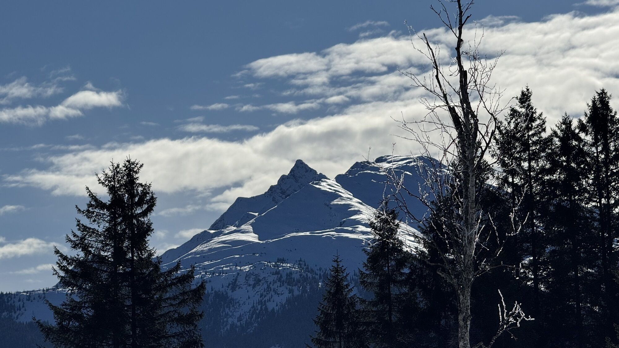
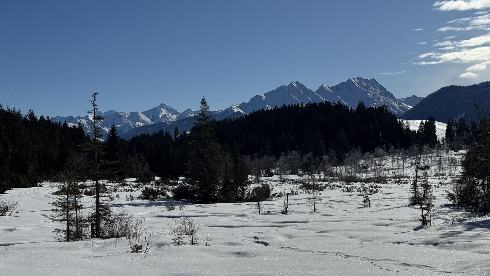
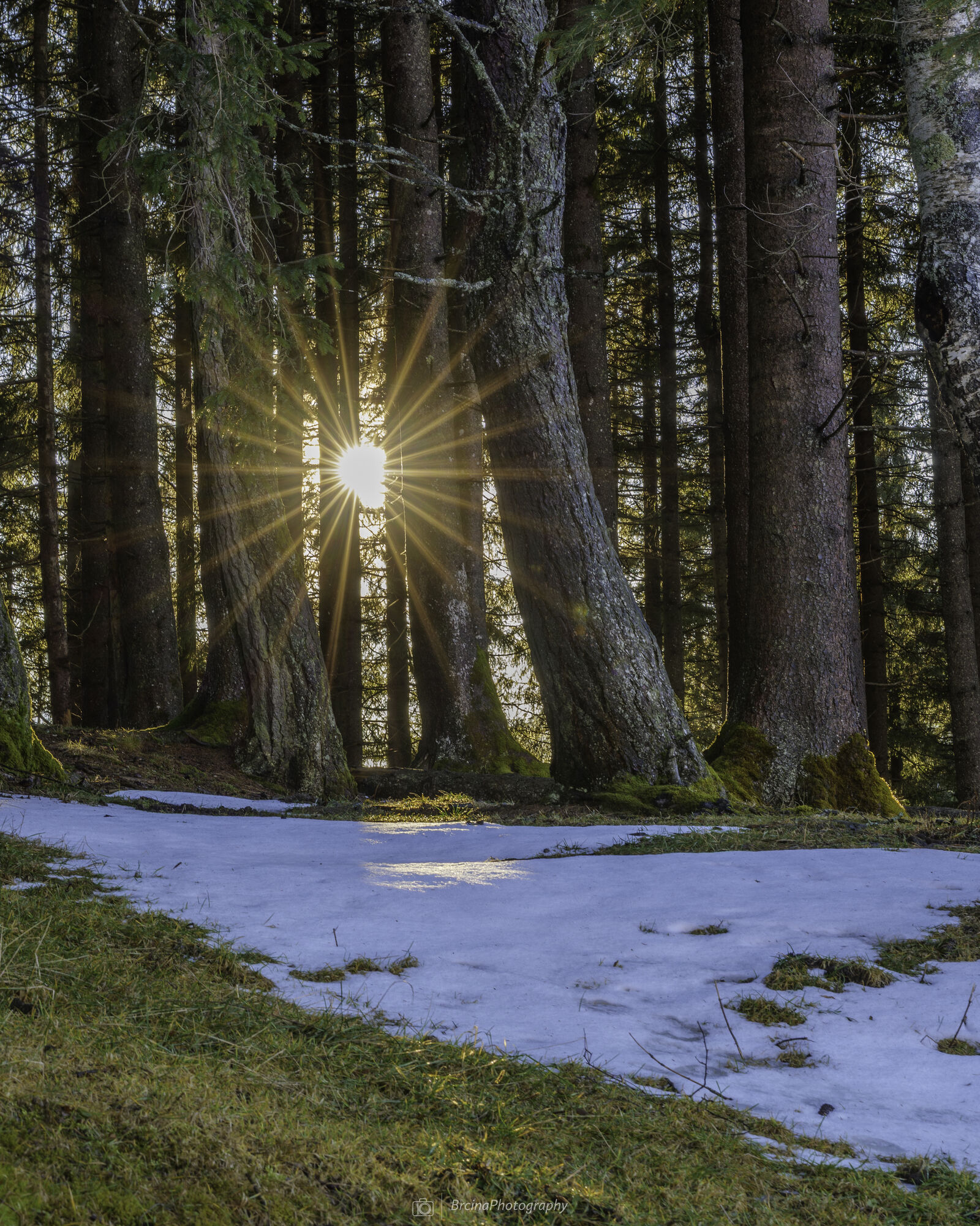
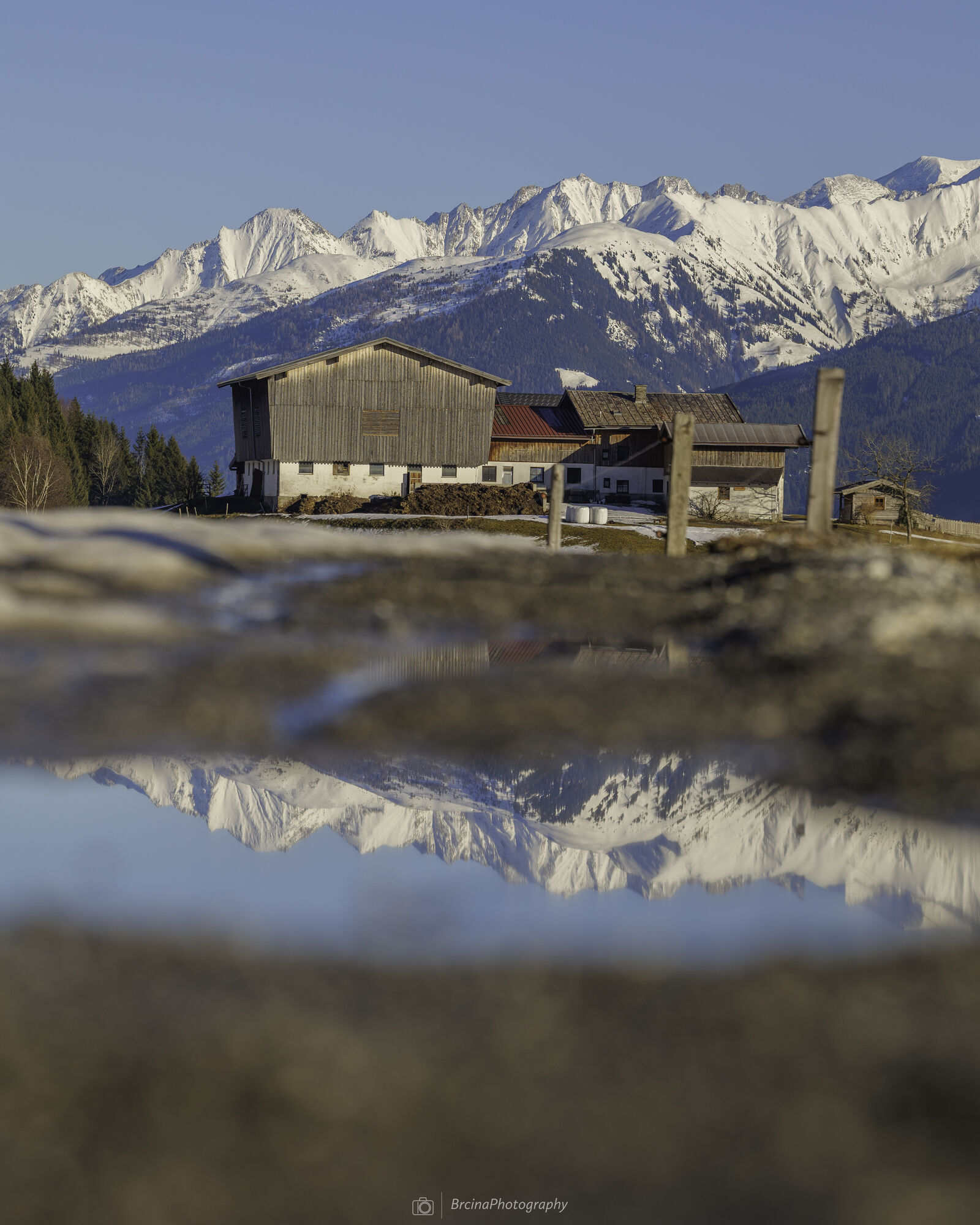

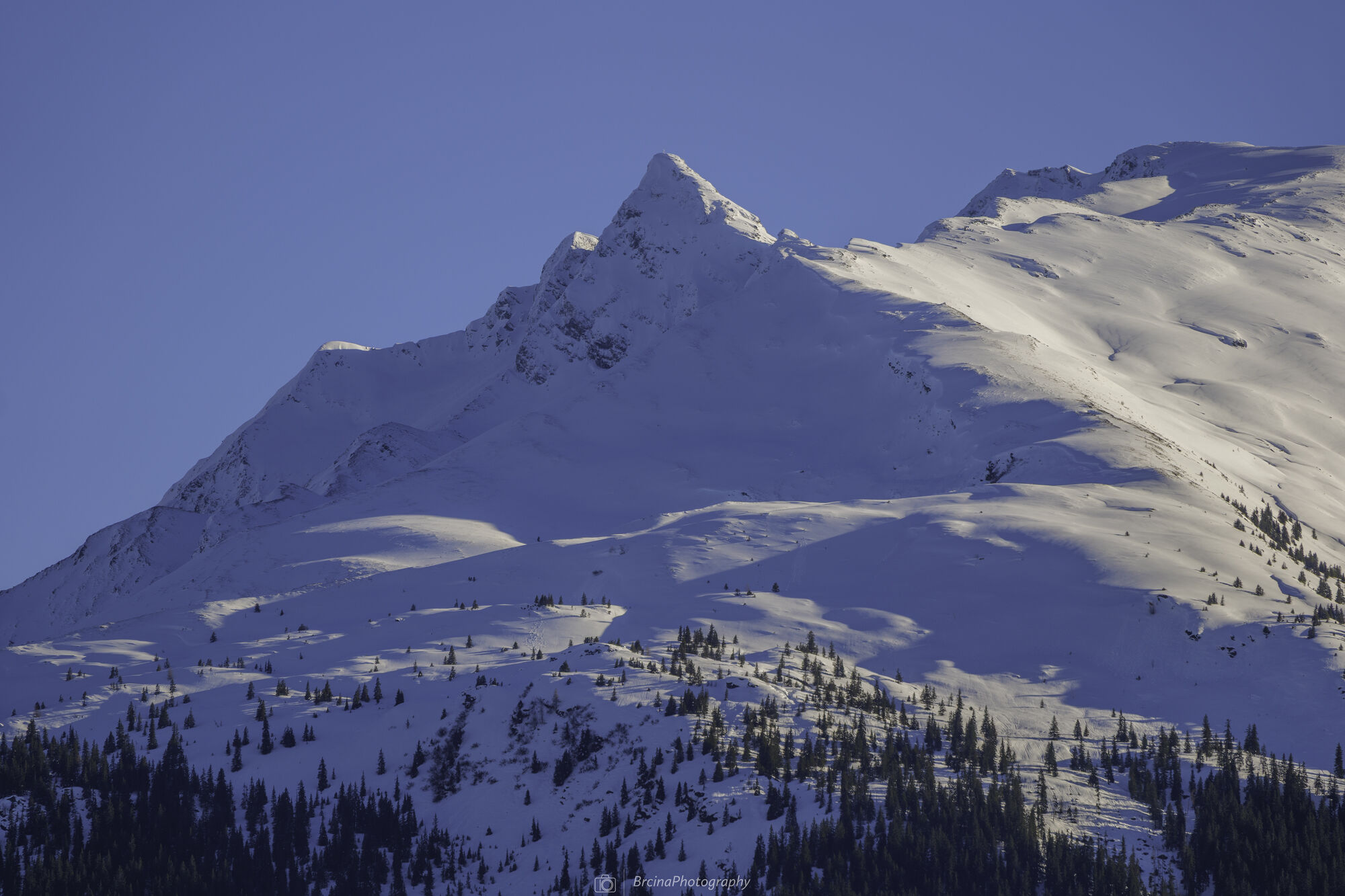

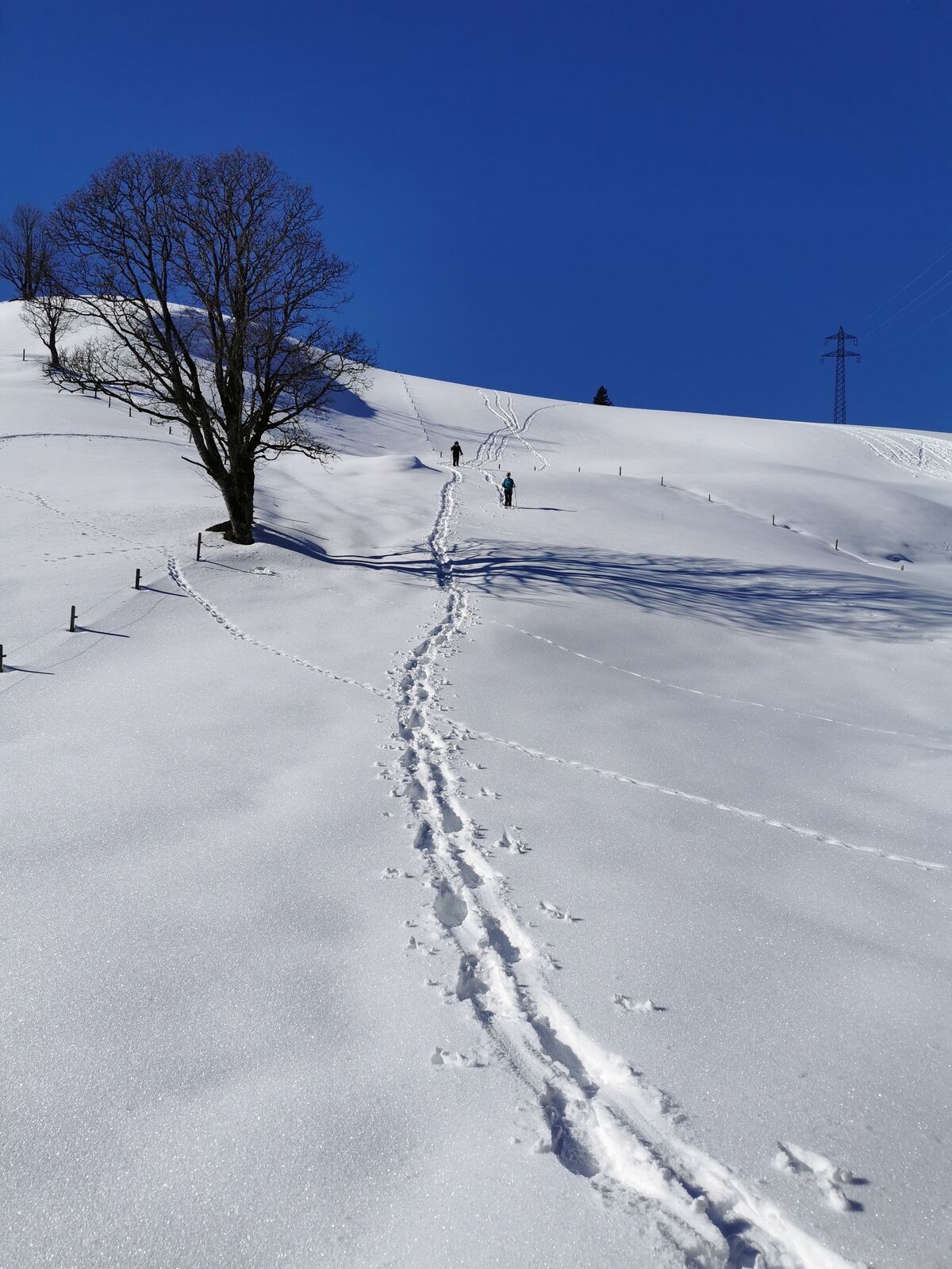
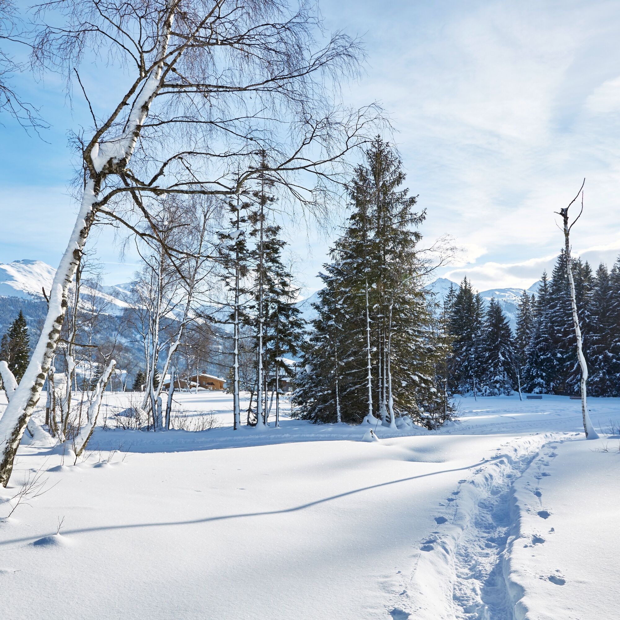
The Wasenmoos is a nature-protected moor area and invites you to an impressive winter walk in winter. With an unforgettable panoramic view of the snow-covered High Tauern, you can enjoy your winter walk in nature.

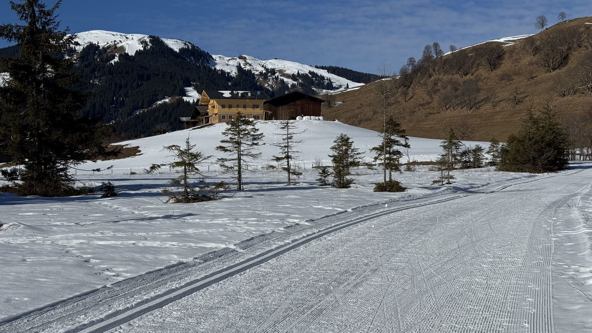
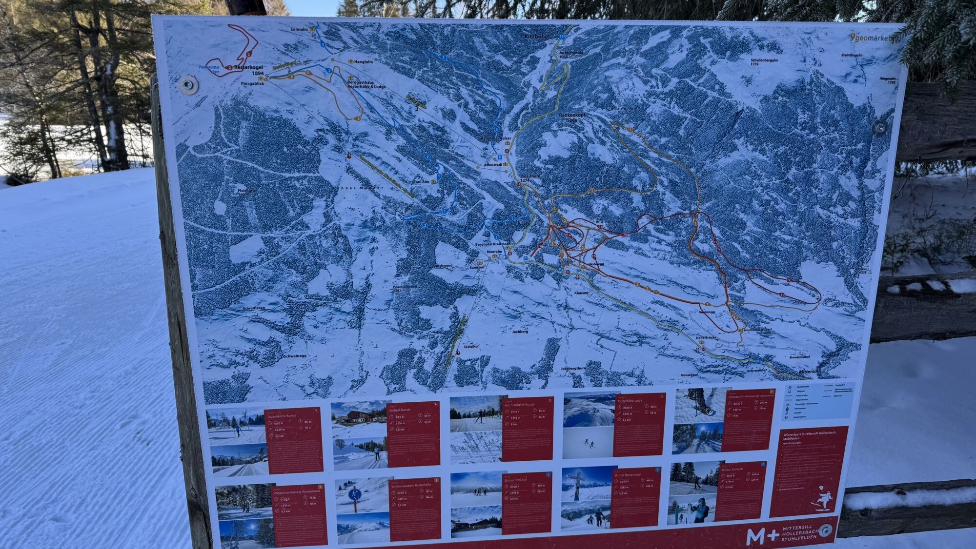
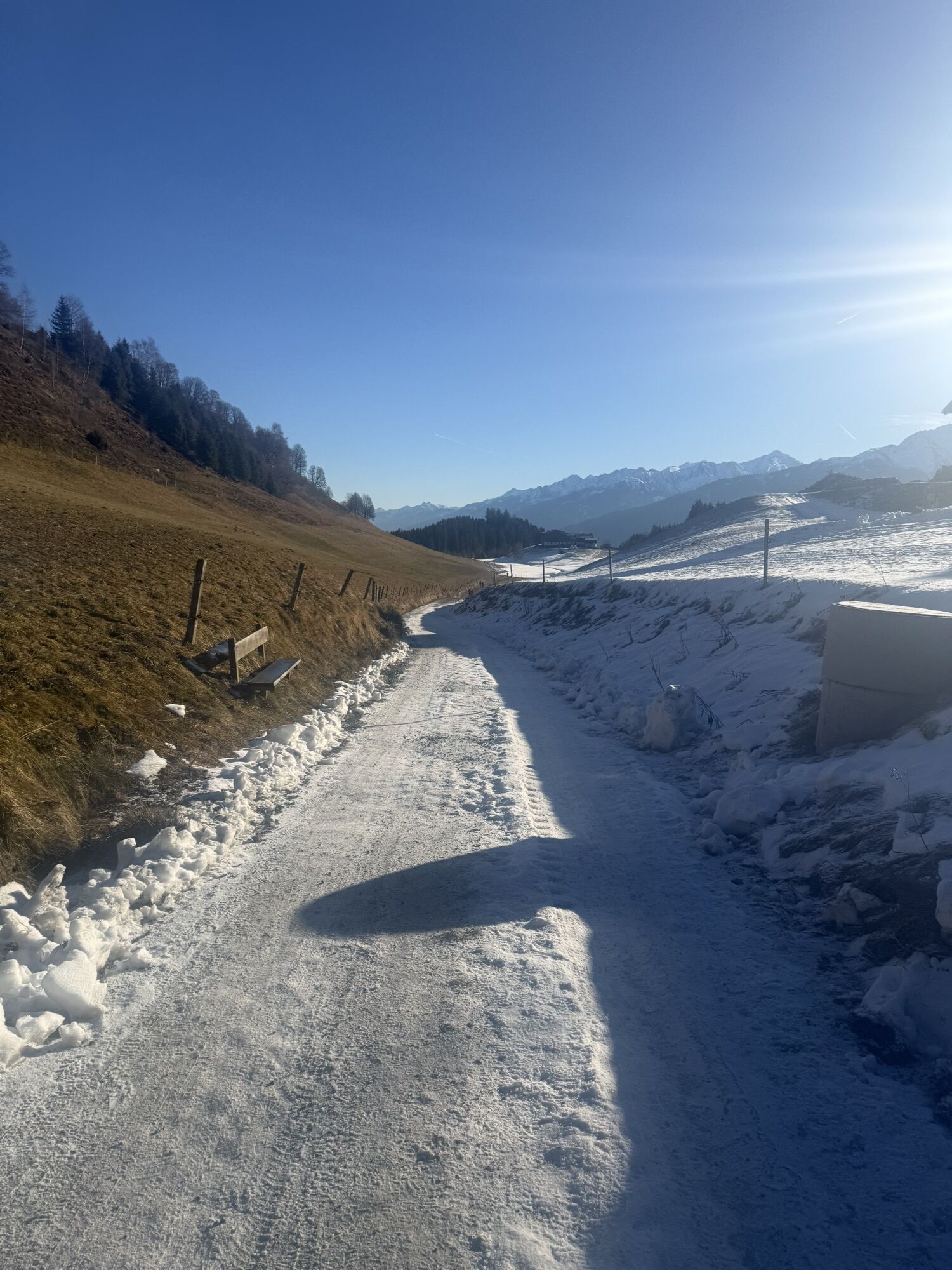
From the car park, walk up the small gravel path to the Hochmoorstüberl. Follow the path beyond the Hochmoorstüberl. At the next fork, keep left and continue straight on the field path. You will see the Hochmoor cross-country trail beside you. Follow the path until you reach the viewing platform. Once there, cross the trail and follow the walkway. Now walk along the Wasenmoos path. At the next forks in the path, always keep left until you reach the lookout tower again, where you can take the same path back to the Hochmoorstüberl.
Da
Warm clothing, hat, gloves, sturdy footwear, possibly a warm drink
Please do not walk on the groomed cross-country trail!
Starting from Mittersill, follow Pass Thurn Straße 161 towards Kitzbühel. After a few minutes, you will pass Mittersill Castle. The road has winding sections. Turn right directly at the Hohe Brücke guesthouse and follow the small asphalt road uphill. You will pass the Brennsteiner guesthouse, and immediately after that, you will find the car park to the left of the road.
Take ski bus 4010 from Mittersill towards Kitzbühel to reach the starting point of the winter hike.
Stop: Pass Thurn Dietsteinhof
Bus schedule: https://www.kitzski.at/de/skigebiet-tirol/info/busfahrplaene.html
To the left in front of the youth guesthouse Dietsteinhof you will find a free car park.
2
Mittersill Plus GmbH, Zeller Straße 2, 5730 Mittersill, Tel. +43(0) 6562 4292
On your winter hike, you will find the rustic Hochmoorstüberl, where you can stop and enjoy regional delicacies.

Priljubljeni izleti v okolici
- 3,7
Smaragdwanderweg Habachtal/Bramberg
svetlobaPohodništvo 7,17 km - 3,8
Mittersill - Hintersee und Plattachsee
težkoPohodništvo 9,90 km - 4,8
Hollersbach - Neue Fürther Hütte
Pohodništvo 16,0 km - 4,7
Tristkogel
težkoPohodništvo 15,6 km - 4,7
Frühmesser
srednjaPohodništvo 10,6 km - 3,9
Hollersbach: Pihapper Wegnr. 935
težkoPohodništvo 12,8 km - 4,1
Habachtal bis zur Thüringer Hütte
Pohodništvo 6,53 km - 4,9
Manlitzkogel
težkoPohodništvo 13,4 km - 4,1
Via the Schösswendklamm to Hintersee
srednjaPohodništvo 8,29 km - 4,0
Mittersill: ski tour Sonnalm
srednjaSmučarska tura 4,87 km
Pohodništvo in sledenje


Ne zamudite ponudb in navdiha za naslednje počitnice
Vaš e-poštni naslov je bil dodan na poštni seznam.