


Abtenau: Circular hike Seitenalm - Voglau (8 points)
An extensive beautiful hike to the idyllic Seitenalm (no catering) via Hochsattel to Voglau and back to Abtenau via the district of Au.

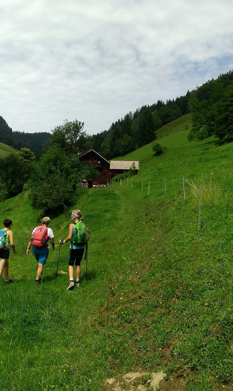
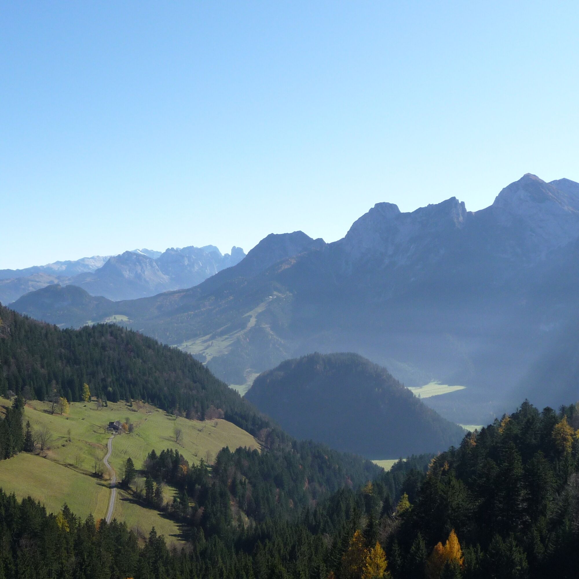
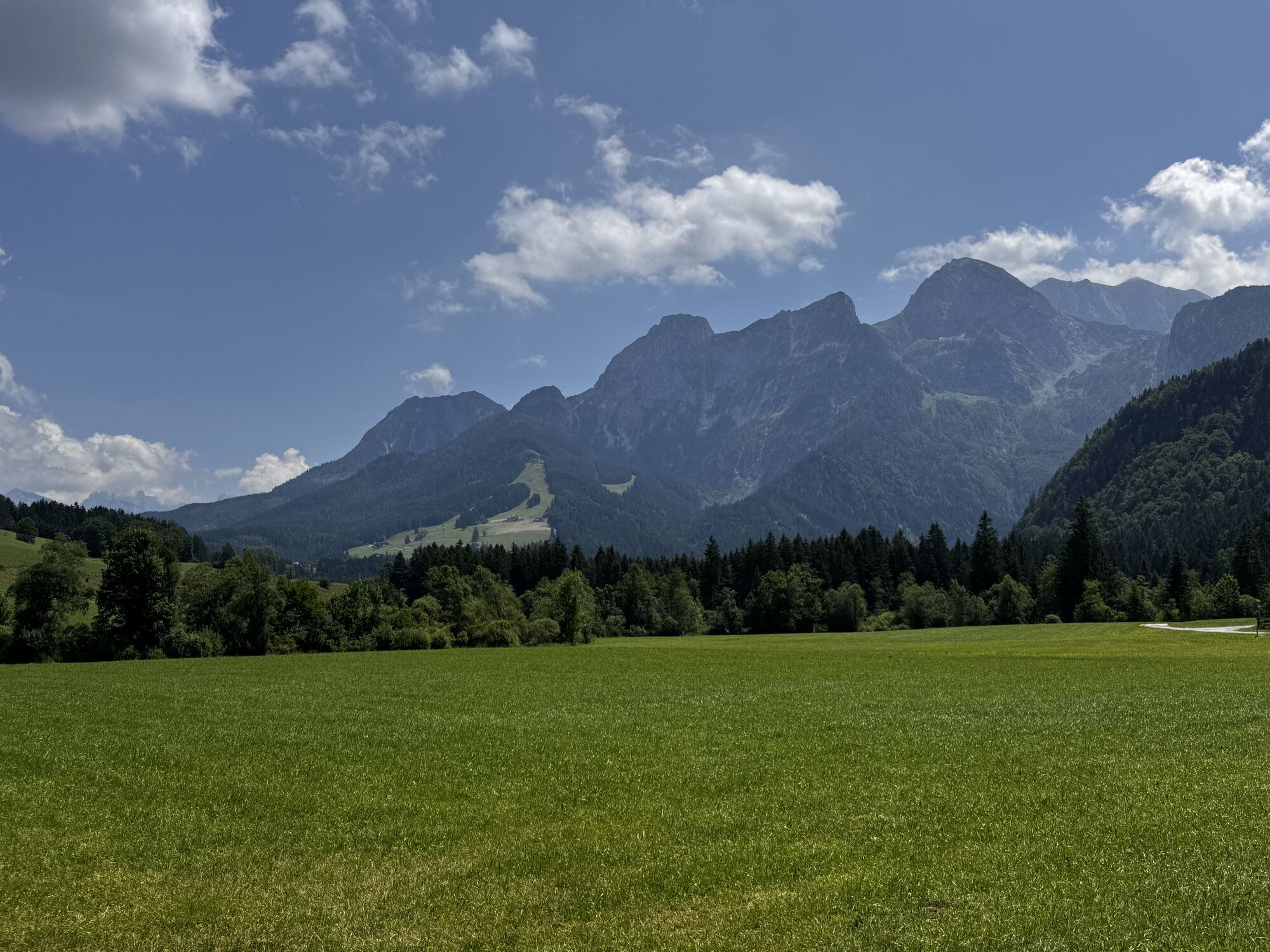
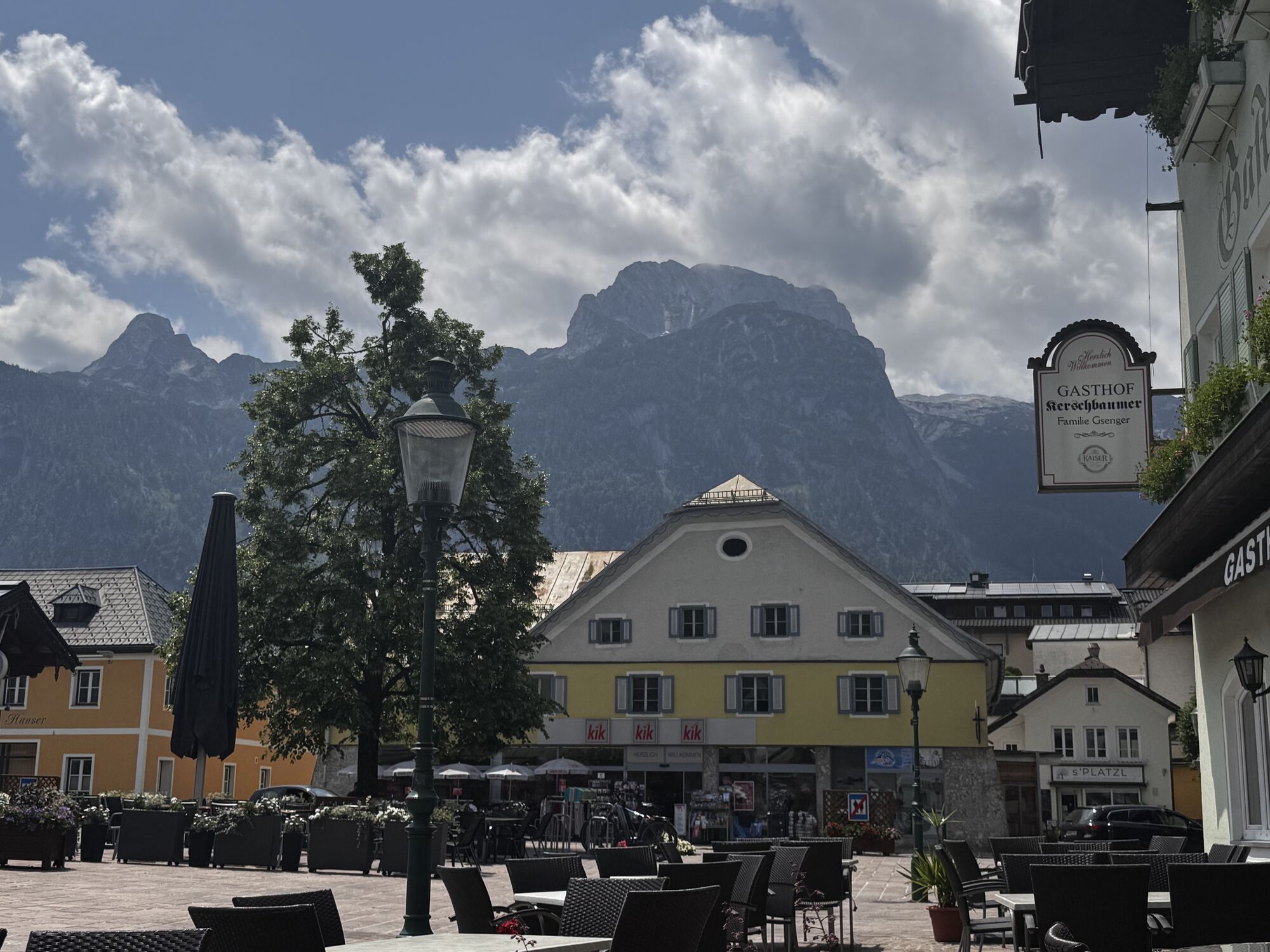
The hike starts at the Hotel Post in the town center of Abtenau. Initially, you follow trail no. 110 towards Au but leave it on the steep descending road. We go down to the right on trail no. 120, and after about 200m, we turn left and continue following the signs to Seitenalm. After crossing the Schwarzerbach, we first turn right and then left (trail R38). Upon exiting the forest, a road continues to the right (R38). Shortly after, the steep, romantic forest path to Seitenalm (no catering) branches off. There is also the option to continue the hike more leisurely on the forest road via Rohrhof (R38). From Seitenalm (3 points), you continue hiking to Hochsattel (3 points), a beautiful viewpoint of the nearby Tennengebirge. From Hochsattel, an asphalt road (14a) passes by alpine farms and leads down to Voglau. Those who want to bypass about half of this asphalt road can hike eastward from Seitenalm to Flichtlhofberg on trail 14. We first use a path, then a forest road. Above the "Sill," you reach the Hochsattel road and follow it to Voglau (bus stop). We walk a few meters along the federal road on a sidewalk and then turn right onto trail 14 towards Au. We use the shady forest path along the Schwarzerbach past the Flichtlhofbauer, then turn left onto trail no. 120 (2 points) and follow the signs back to Abtenau.
Da
Suitable hiking clothing, hiking boots required
No special safety knowledge required
By postbus to "Abtenau Ortsmitte"
Parking facilities in the town center of Abtenau, East and West parking lots
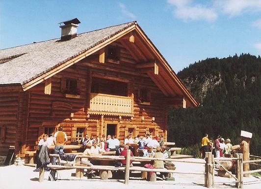
Visit the Rocheralm or Rohrhofhütte and enjoy alpine cuisine with home-produced products.
You can make another stop at the guesthouse Voglauerhof and refresh yourself for the return trip to Abtenau.
Priljubljeni izleti v okolici
- 4,7
Schwarzer Berg / Golling
srednjaPohodništvo 2,54 km - 4,9
Werfenweng Mountainbikerunde Söldenhütte
srednjaMountainbike 18,8 km - 4,8
Gennerhorn über Lämmerbach
srednjaPohodništvo 10,2 km - 4,7
Mühlenweg und Winnerfall Scheffau am Tennengebirge
srednjaPohodništvo 4,79 km - 4,6
Donnerkogel vom Gosausee mit Intersport Klettersteig C/D und Himmelsleiter
težkoVia ferrata 7,70 km - 4,6
Schlenken and Schmittenstein hike
težkoPohodništvo 10,9 km - 4,4
Hornspitz von Russbach
srednjaSmučarska tura 6,93 km - 4,3
3 Peaks route "Gennerhorn-Gruberhorn-Regenspitz"
težkoPohodništvo 14,2 km - 4,4
From Satzstein via Feichtenstein Alm to Regenspitz
srednjaPohodništvo 11,2 km - 4,9
From Rußbach over the Gamsfeld
težkoPohodništvo 11,5 km
Pohodništvo in sledenje


Ne zamudite ponudb in navdiha za naslednje počitnice
Vaš e-poštni naslov je bil dodan na poštni seznam.