


3 Peaks route "Gennerhorn-Gruberhorn-Regenspitz"
Stopnja težavnosti: T4
Fotografije naših uporabnikov
-
 © Eveline ZechaUstvarjeno na 08.02.2026
 -
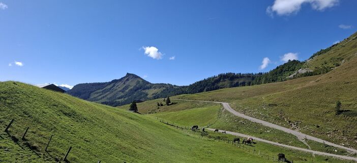
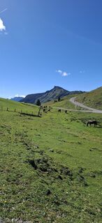
 © Raimund BürgmannUstvarjeno na 20.09.2025
 -
 © Raimund BürgmannUstvarjeno na 20.09.2025
 -
 © Raimund BürgmannUstvarjeno na 20.09.2025
 -
 © Raimund BürgmannUstvarjeno na 20.09.2025
 -
 © Raimund BürgmannUstvarjeno na 20.09.2025
 -
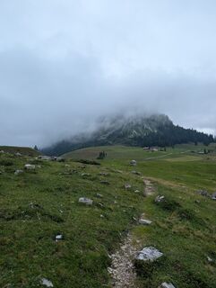
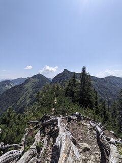
 © jsUstvarjeno na 18.09.2025
 -
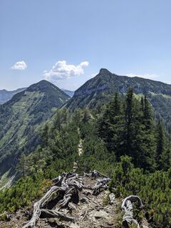
 © jsUstvarjeno na 18.09.2025
 -
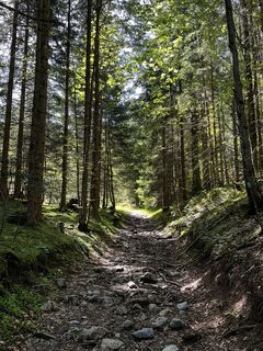
 © jsUstvarjeno na 18.09.2025
 -
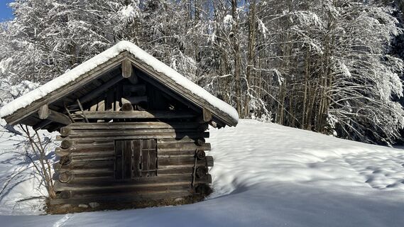
 © jsUstvarjeno na 18.09.2025
 -
 © jsUstvarjeno na 18.09.2025
 -
 © jsUstvarjeno na 18.09.2025
 -
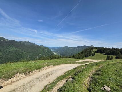
 © Claudia KlingspiglUstvarjeno na 06.09.2025
 -
 © Claudia KlingspiglUstvarjeno na 06.09.2025
 -
 © Claudia KlingspiglUstvarjeno na 06.09.2025
 -
 © Claudia KlingspiglUstvarjeno na 06.09.2025
 -
 © Claudia KlingspiglUstvarjeno na 06.09.2025
 -
 © SFKUstvarjeno na 25.07.2025
 -
 © Raimund BürgmannUstvarjeno na 01.06.2025
 -
 © Raimund BürgmannUstvarjeno na 01.06.2025
 -
 © MichlbertUstvarjeno na 31.07.2024
 -
 © MichlbertUstvarjeno na 31.07.2024
 -
 © MichlbertUstvarjeno na 31.07.2024
 -
 © MichlbertUstvarjeno na 31.07.2024
 -
 © MichlbertUstvarjeno na 31.07.2024
 -
 © Jürgen ClementUstvarjeno na 11.05.2024
 -
 © rai5Ustvarjeno na 10.01.2024
 -
 © David LsUstvarjeno na 21.02.2023
 -
 © David LsUstvarjeno na 21.02.2023
 -
 © David LsUstvarjeno na 21.02.2023
 -
 © David LsUstvarjeno na 21.02.2023
 -
 © David LsUstvarjeno na 21.02.2023
 -
 © David LsUstvarjeno na 21.02.2023
 -

 © Thomas Hackl 2Ustvarjeno na 02.05.2026
 -

 © Gerald Seidl 1Ustvarjeno na 28.02.2026
 -
 © Gerald Seidl 1Ustvarjeno na 28.02.2026
 -
 © oscargarciaUstvarjeno na 31.12.2025
 -

 © Thomas LettnerUstvarjeno na 21.12.2025
 -
 © StefanUstvarjeno na 18.10.2025
 -
 © Doris TreiblmayrUstvarjeno na 18.09.2025
 -
 © Doris TreiblmayrUstvarjeno na 18.09.2025
 -
 © Doris TreiblmayrUstvarjeno na 18.09.2025
 -
 © Doris TreiblmayrUstvarjeno na 18.09.2025
 -
 © Doris TreiblmayrUstvarjeno na 18.09.2025
 -
 © Doris TreiblmayrUstvarjeno na 18.09.2025
 -
 © Doris TreiblmayrUstvarjeno na 18.09.2025
 -
 © Heinz SperlUstvarjeno na 27.08.2025
 -
 © Heinz SperlUstvarjeno na 27.08.2025
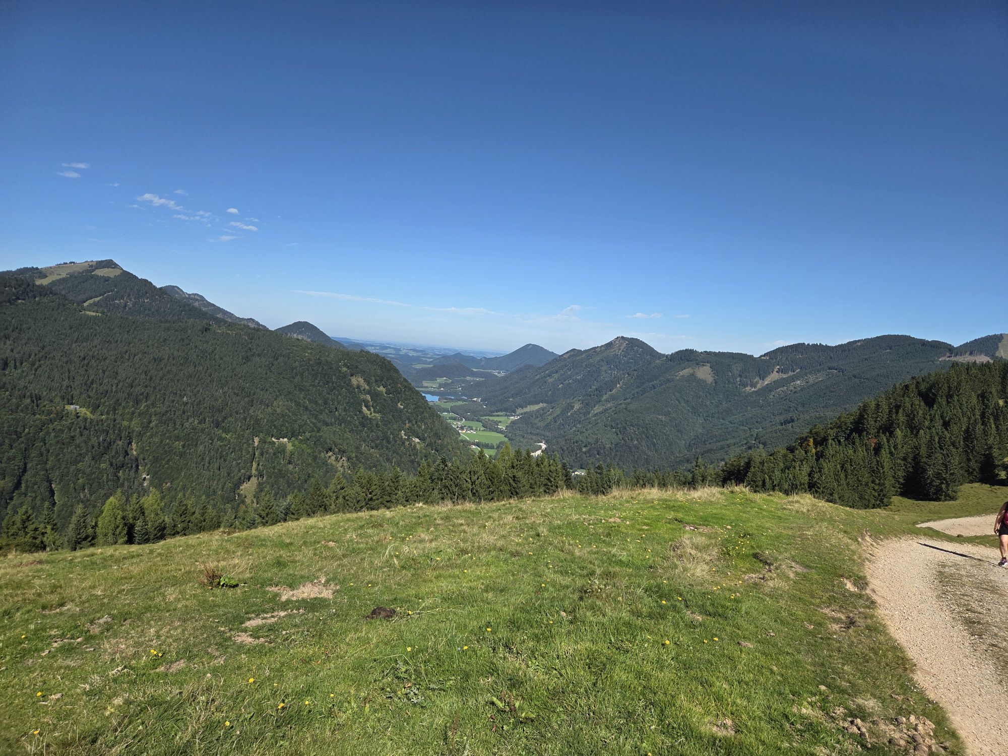
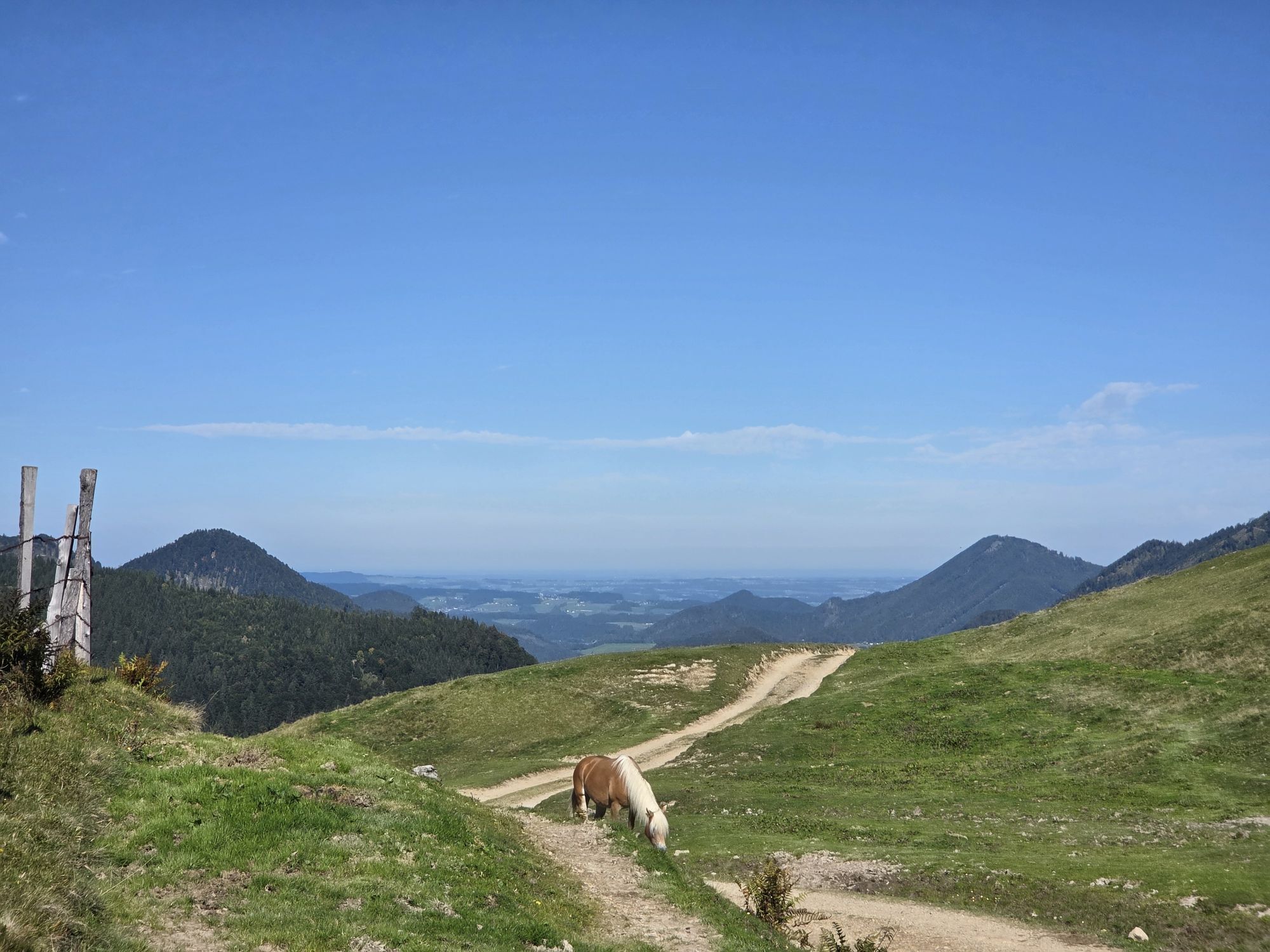
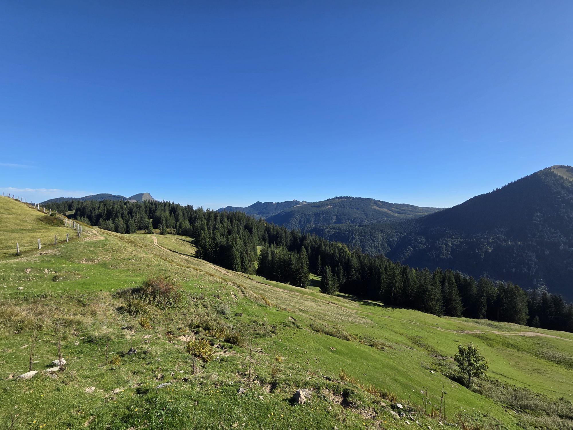
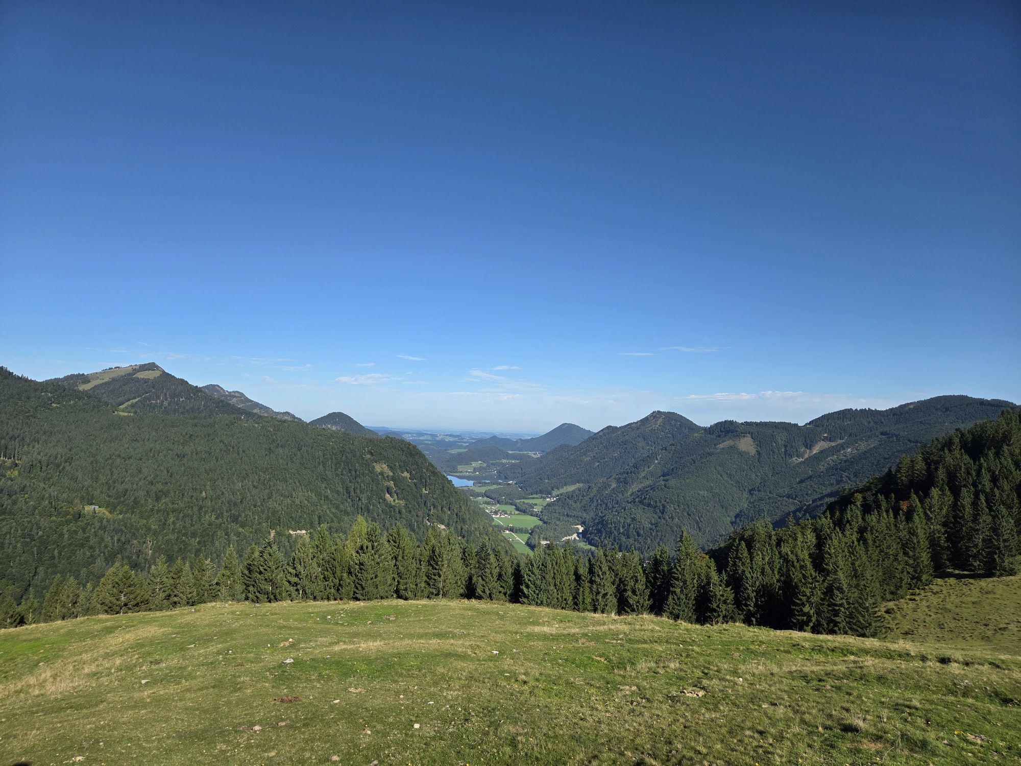
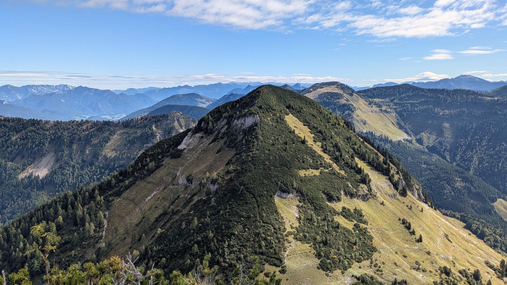


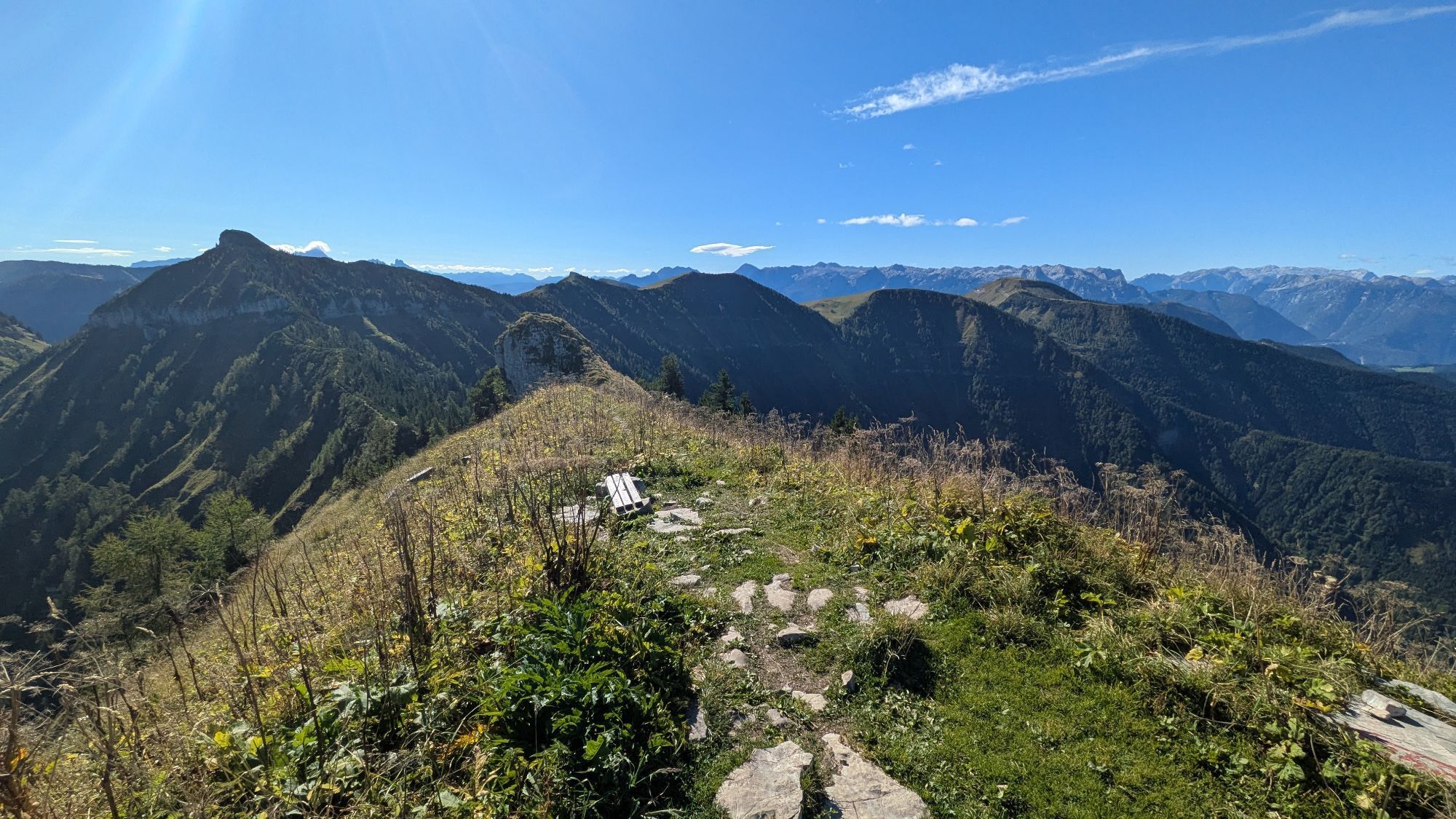
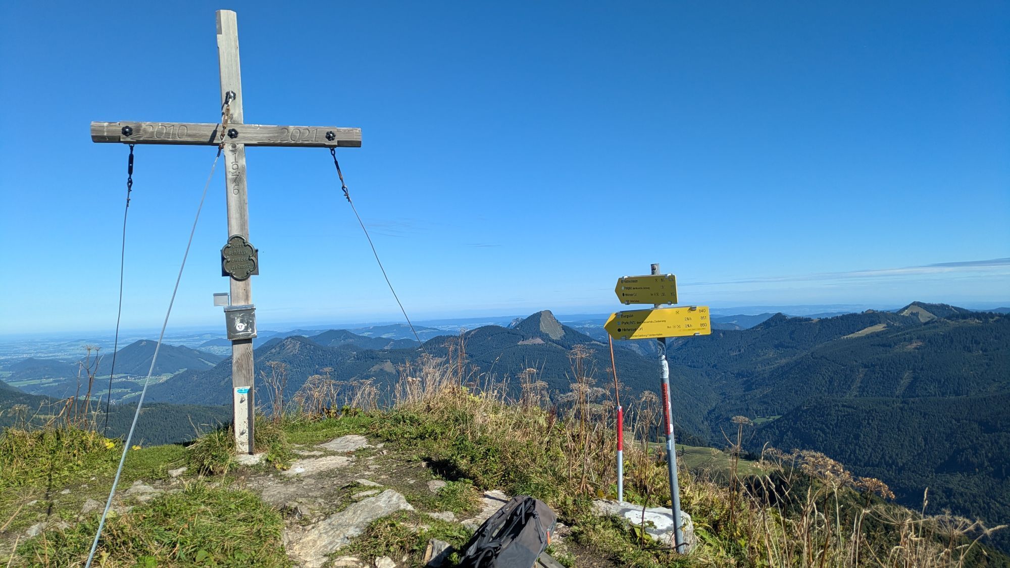
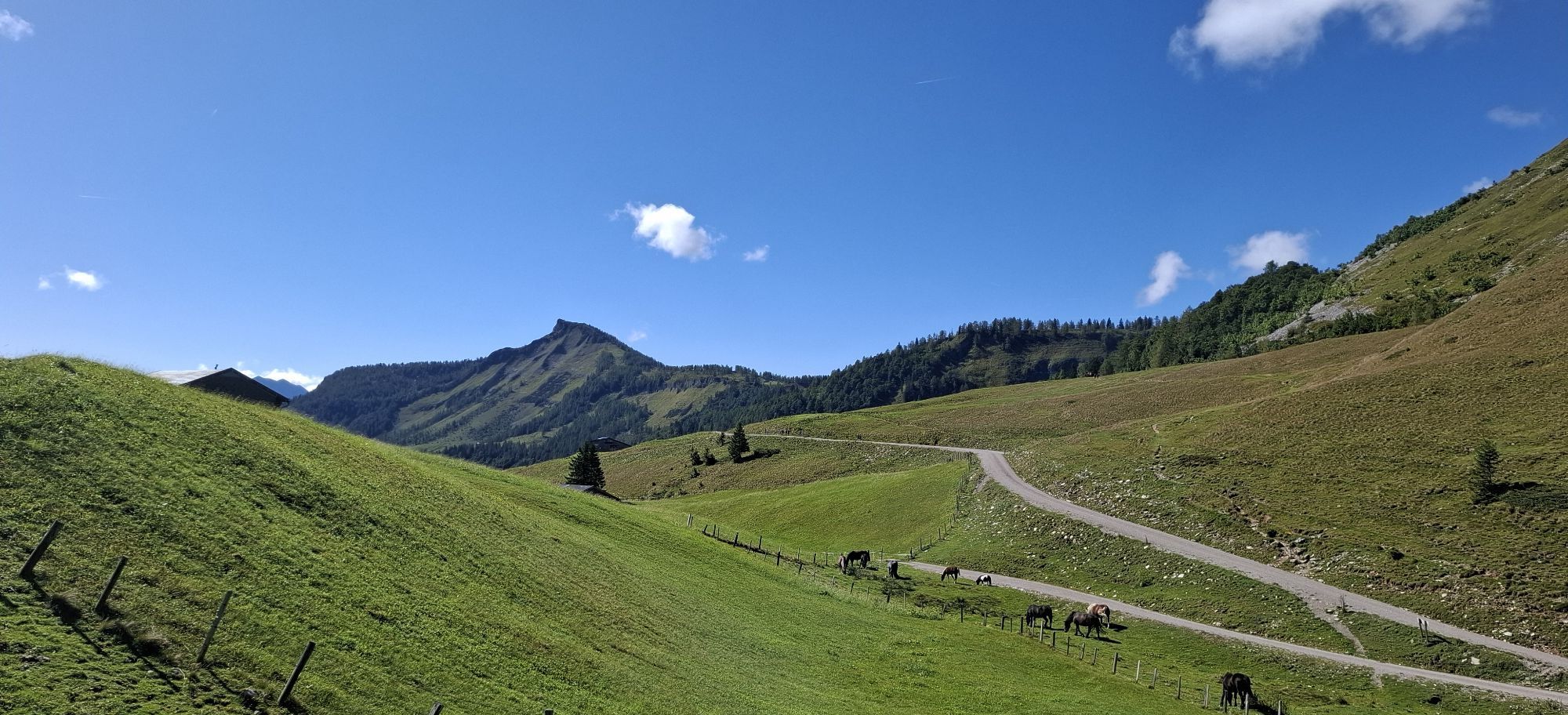
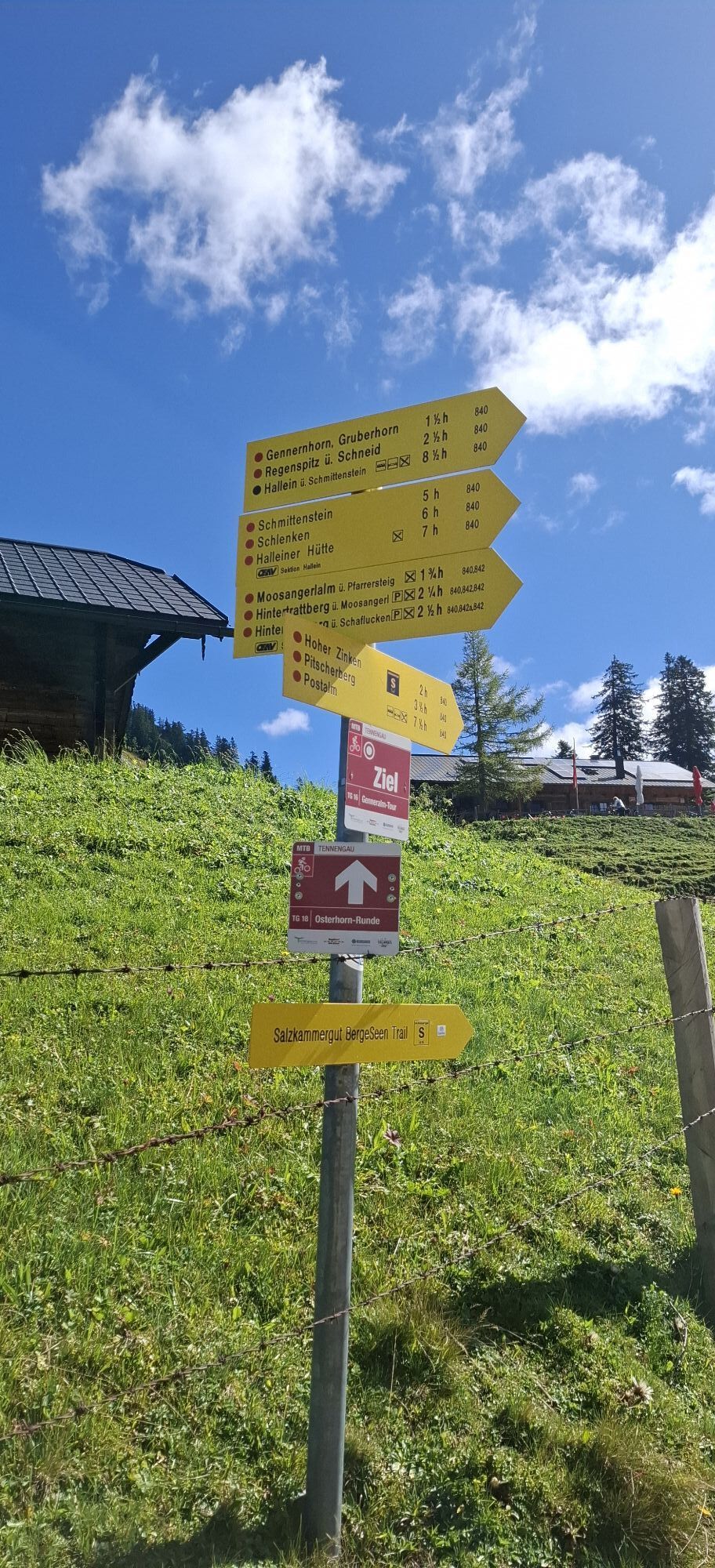
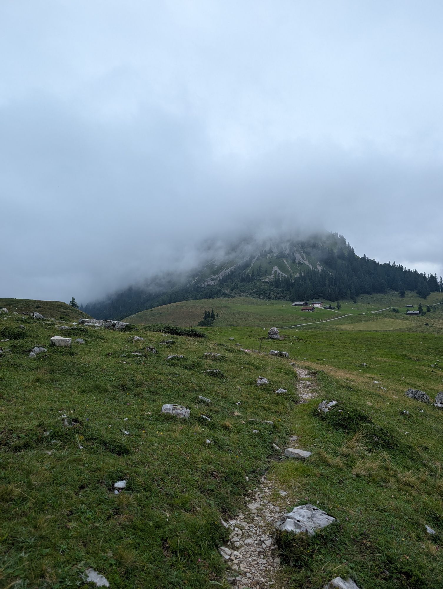

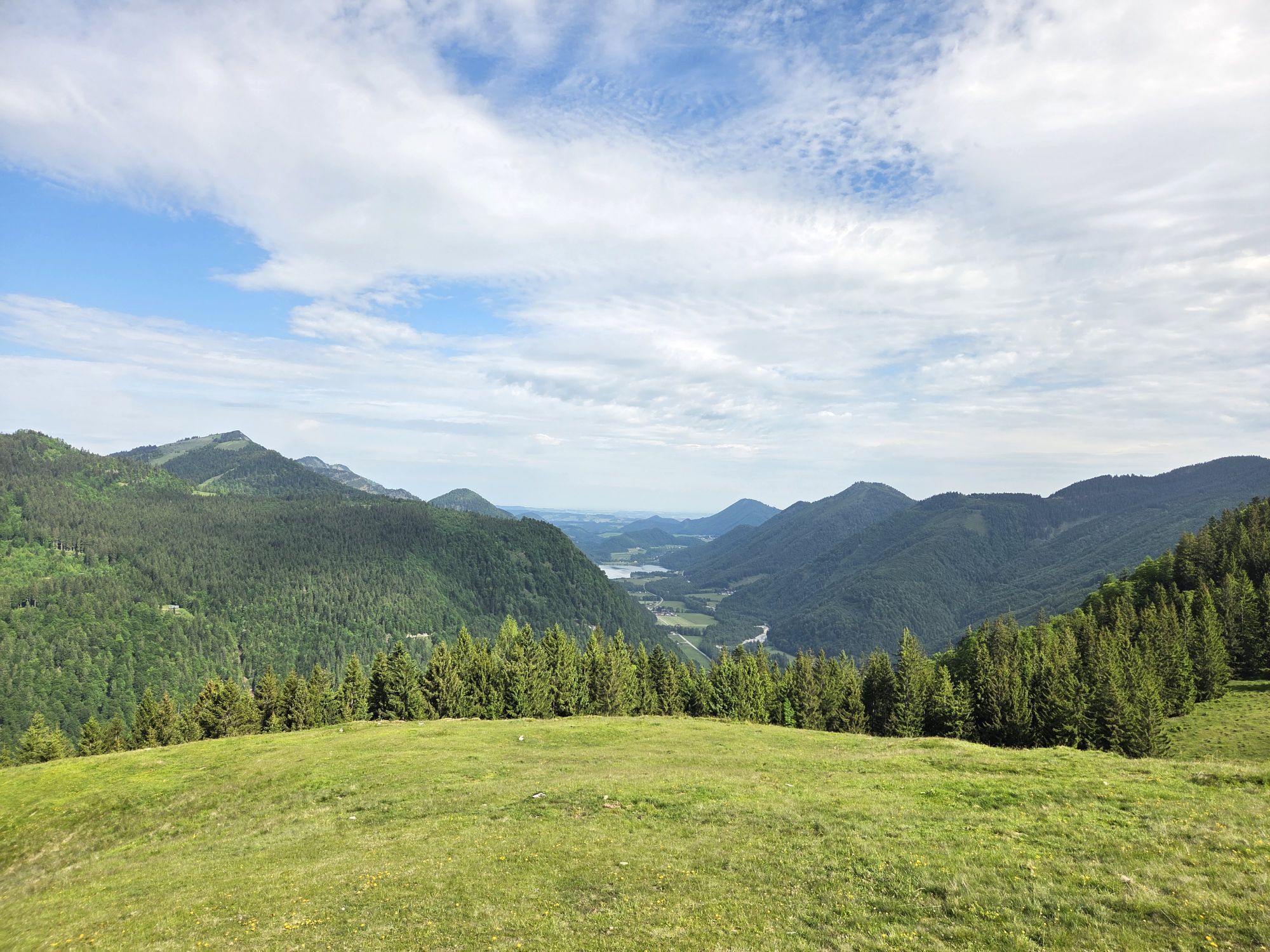


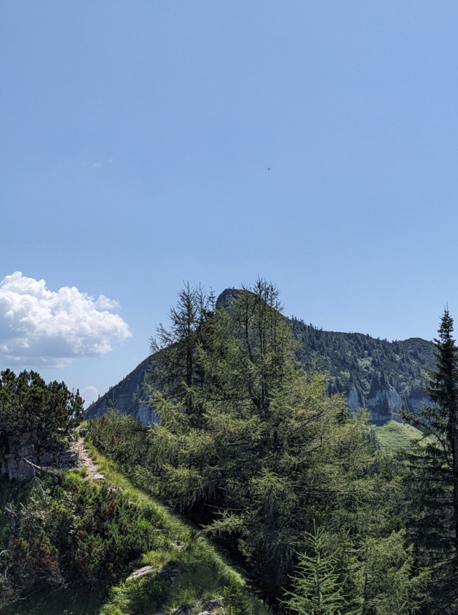
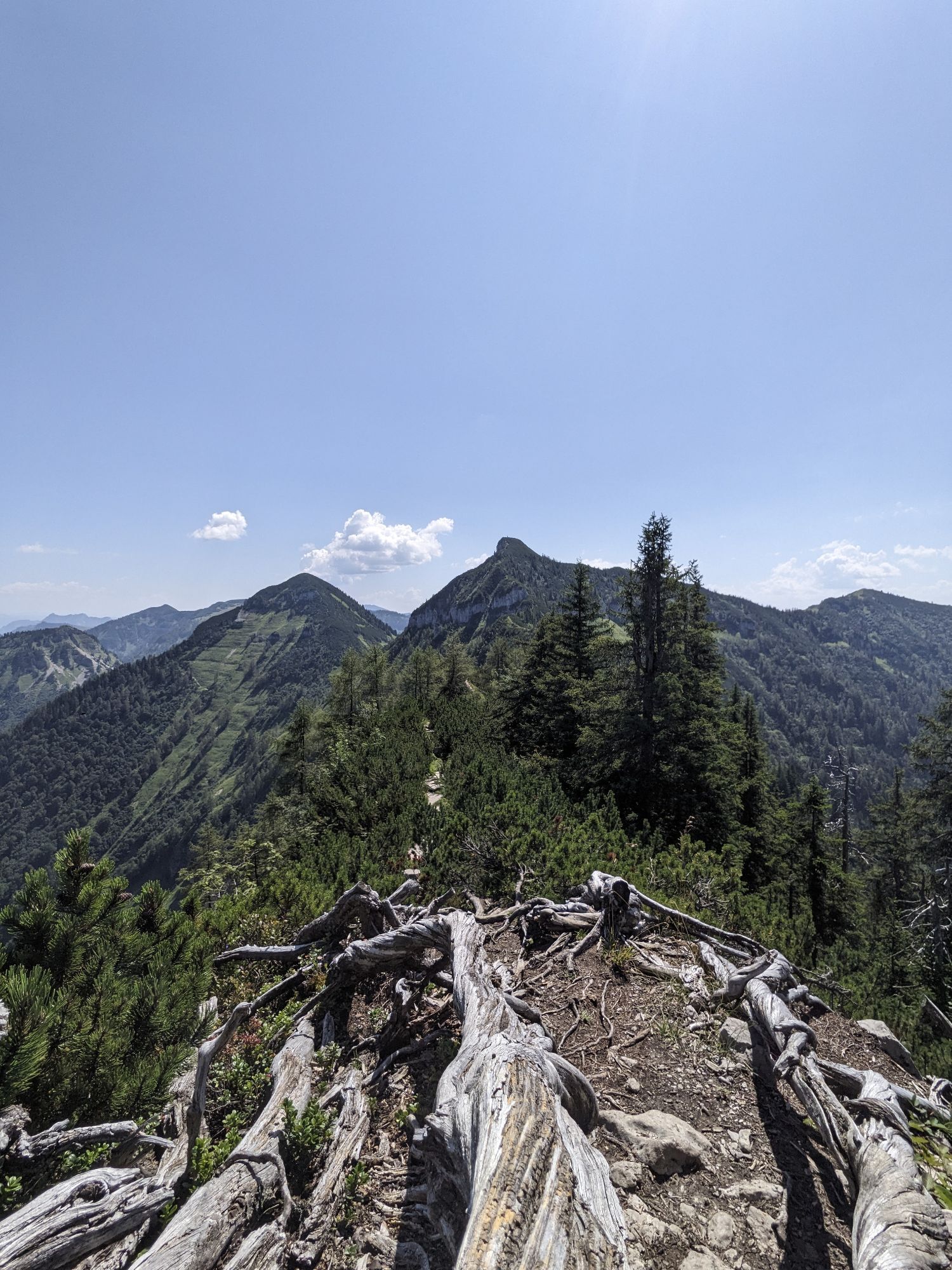
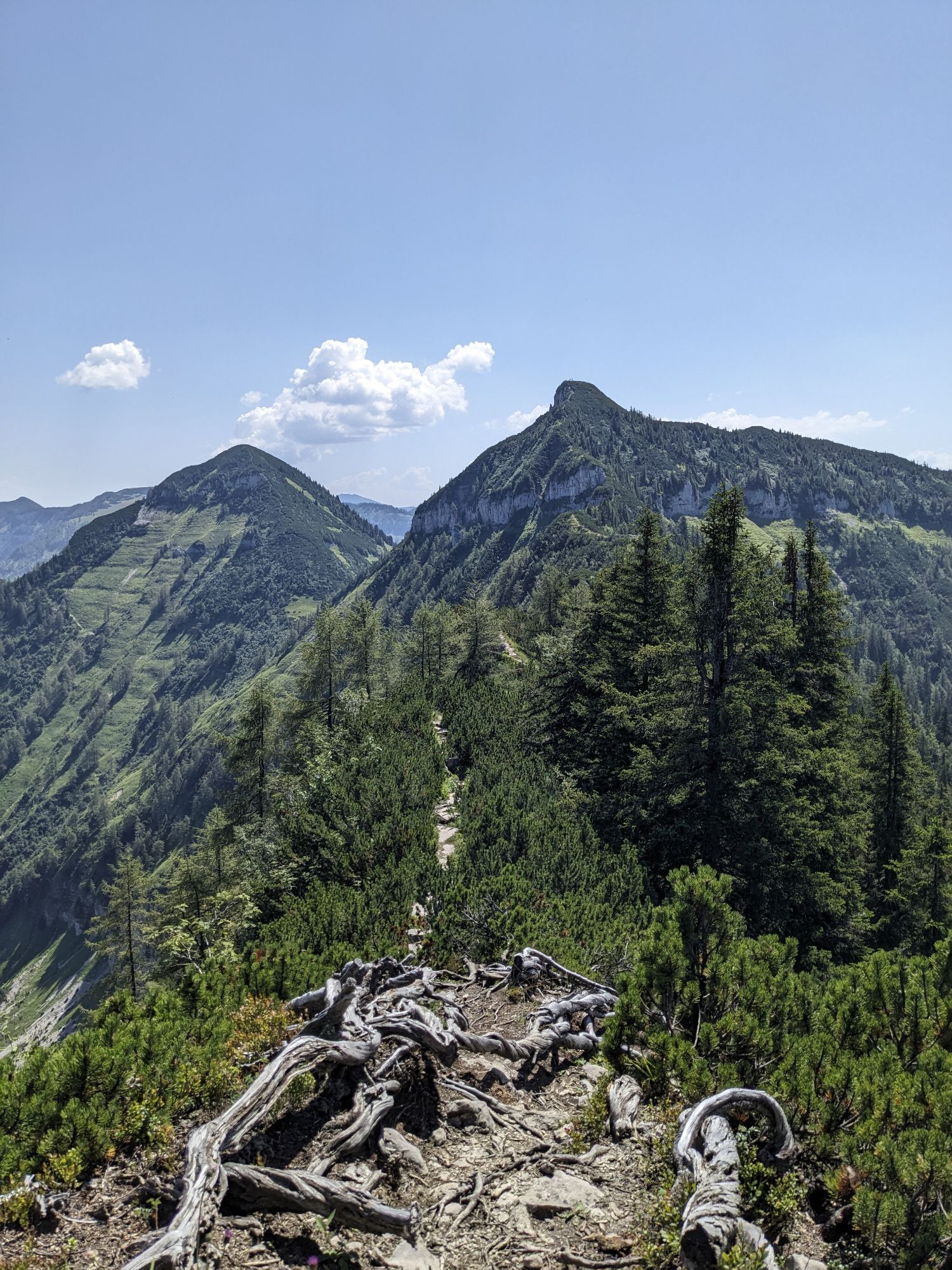


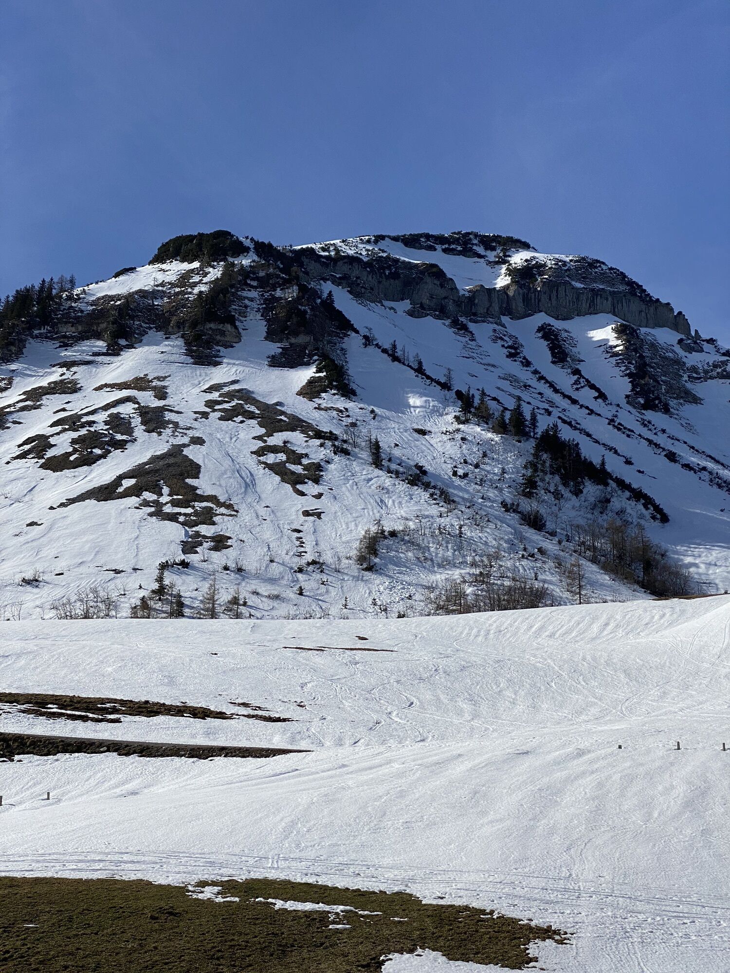
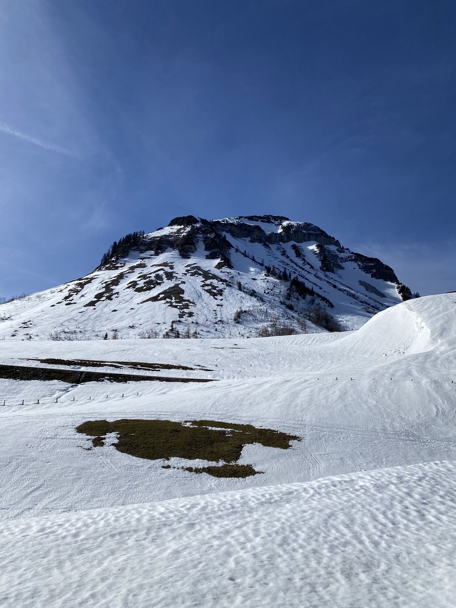
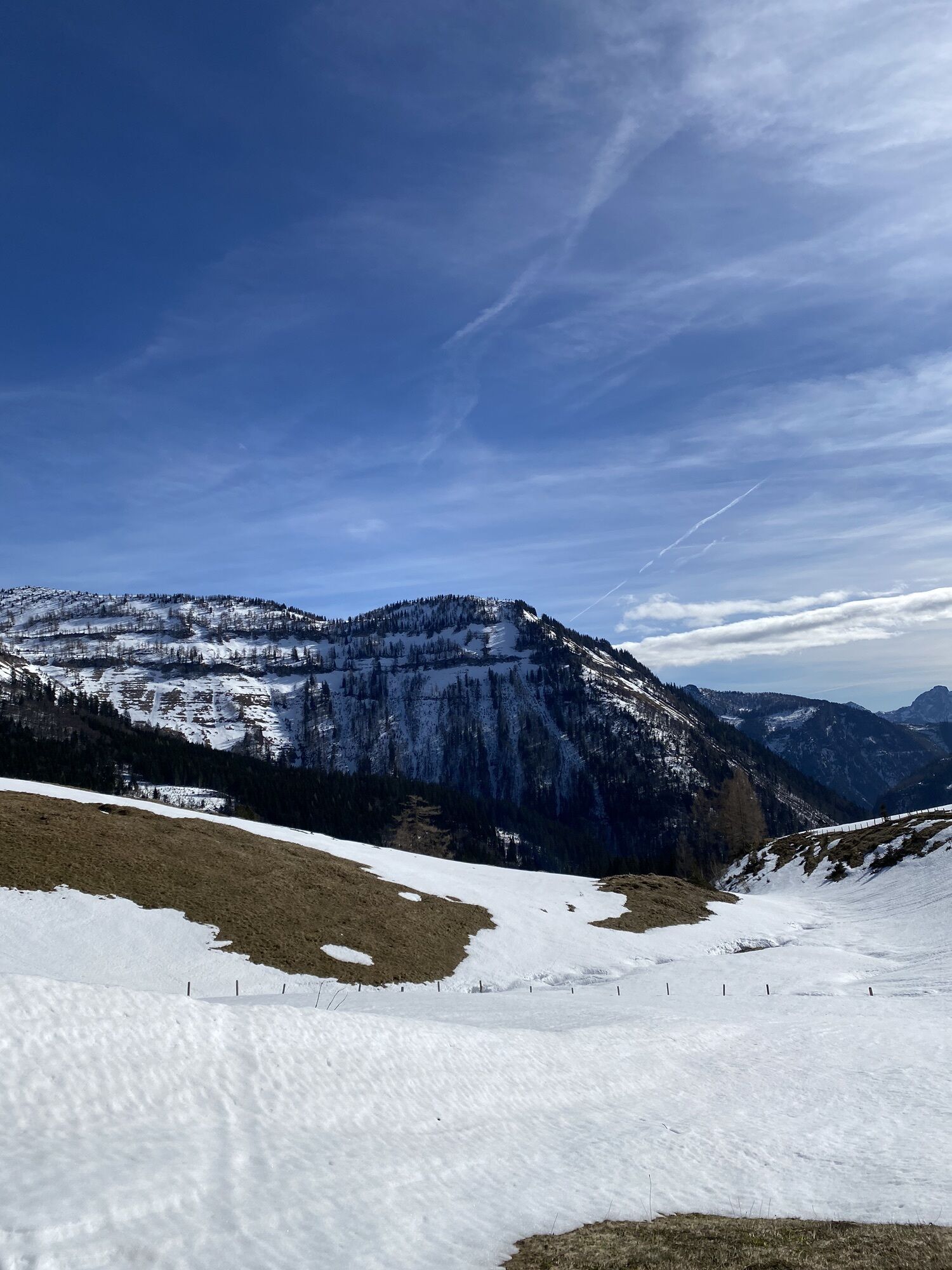
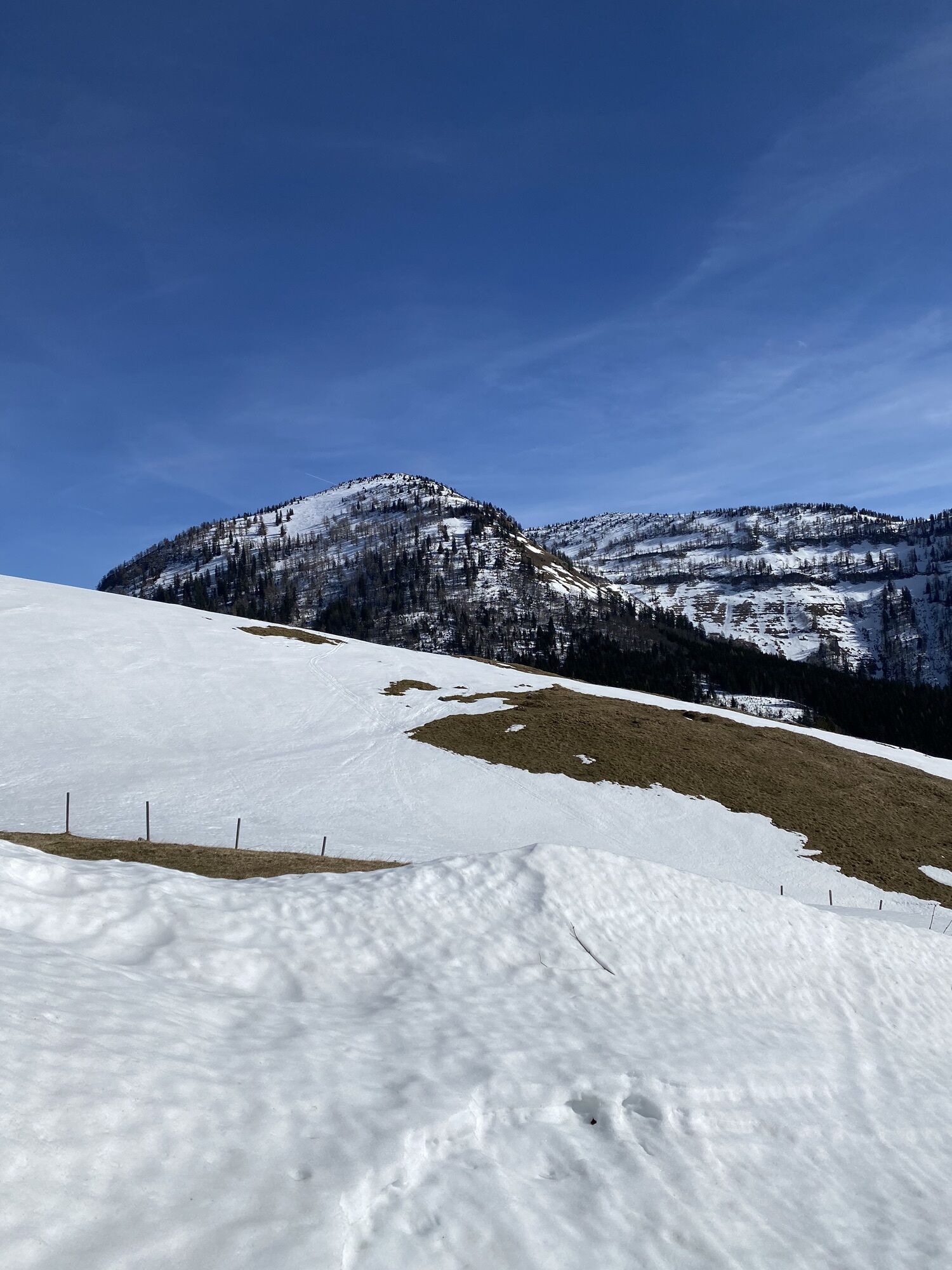
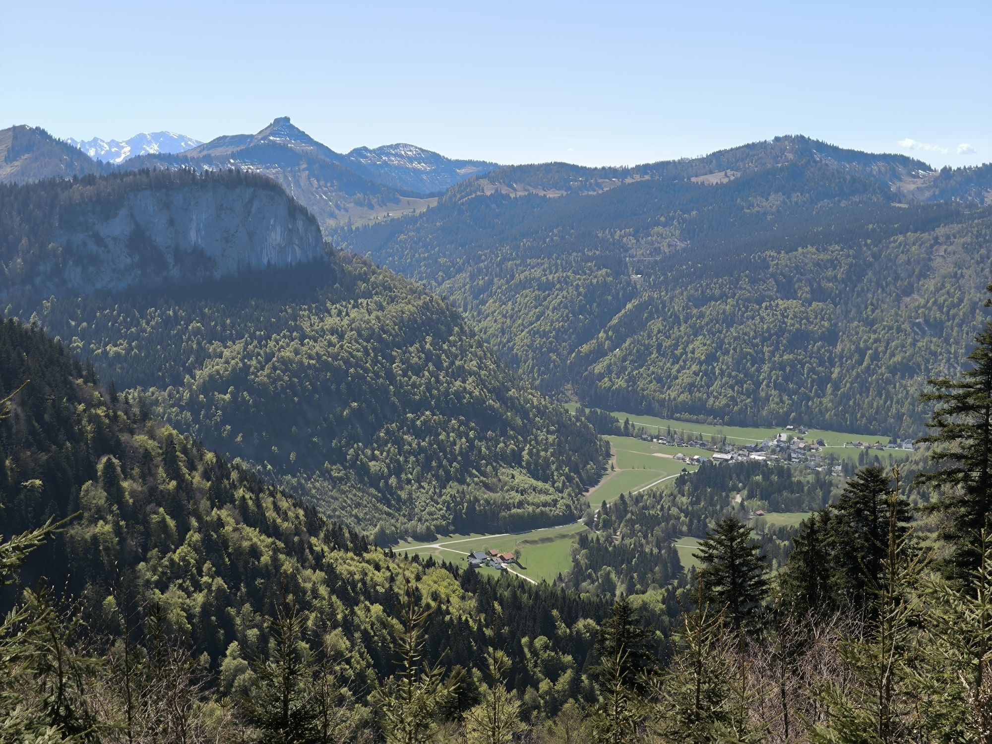

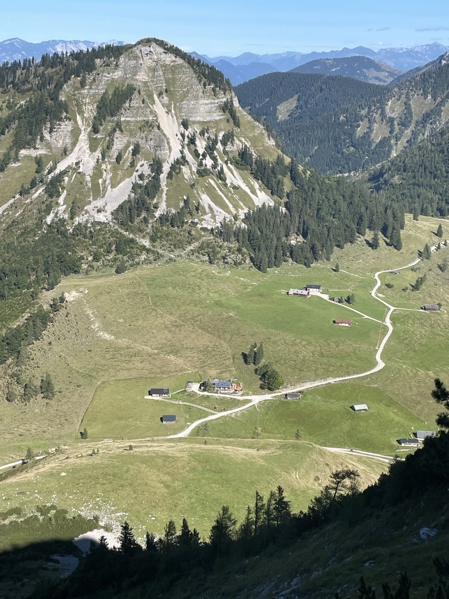


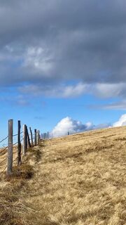
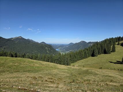
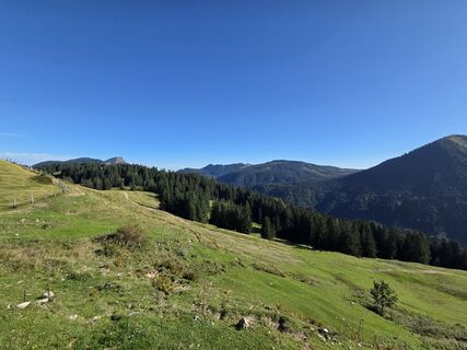
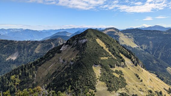
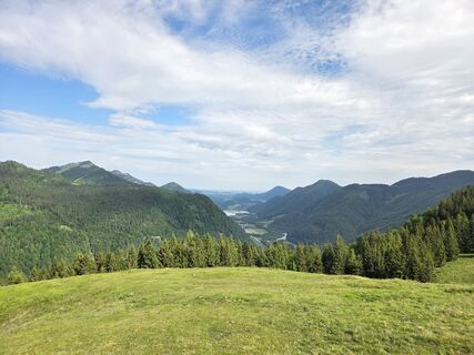
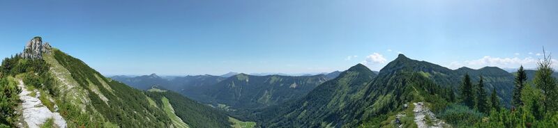
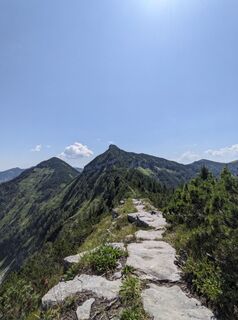
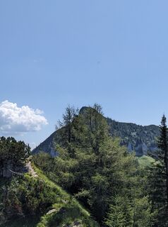
A very challenging but very rewarding route past alpine pastures, over rugged peaks, and narrow ridges. This route has everything you could wish for. It leads from Lämmerbach via Genneralm to the Gennerhorn....
A very challenging but very rewarding route past alpine pastures, over rugged peaks, and narrow ridges. This route has everything you could wish for. It leads from Lämmerbach via Genneralm to the Gennerhorn. Then on to Gruberhorn and Regenspitz, returning via Feichtensteinalm and Gruberalm.

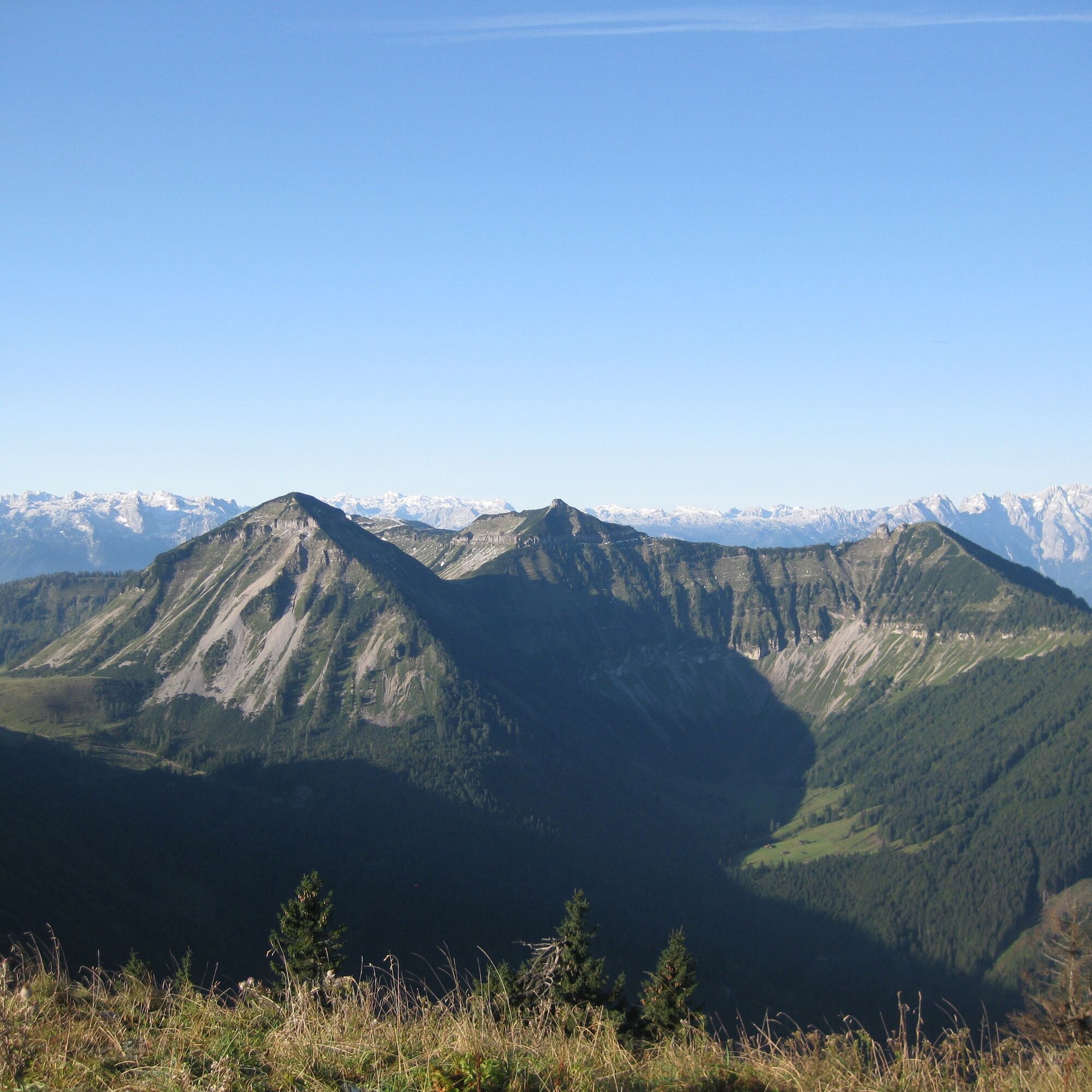
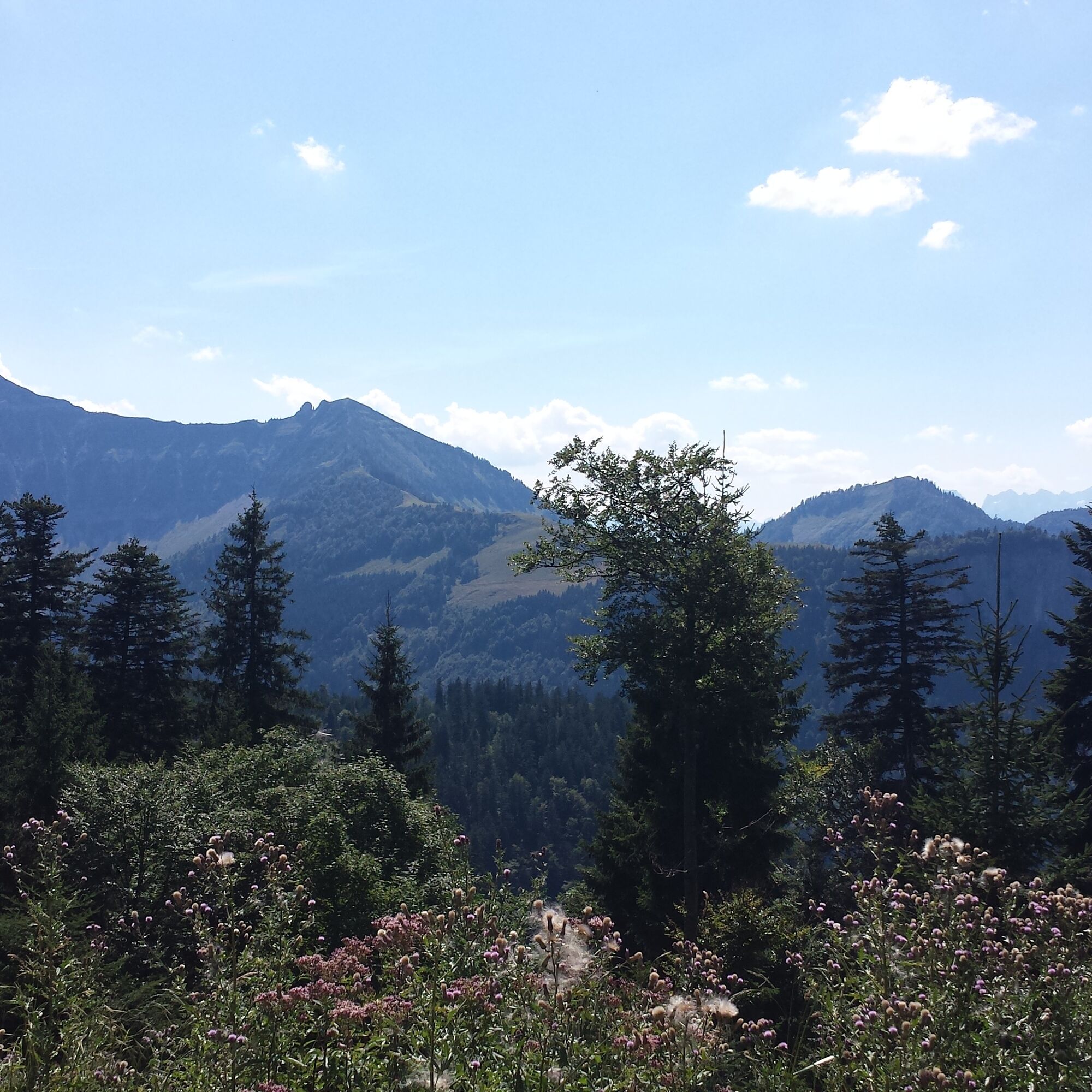
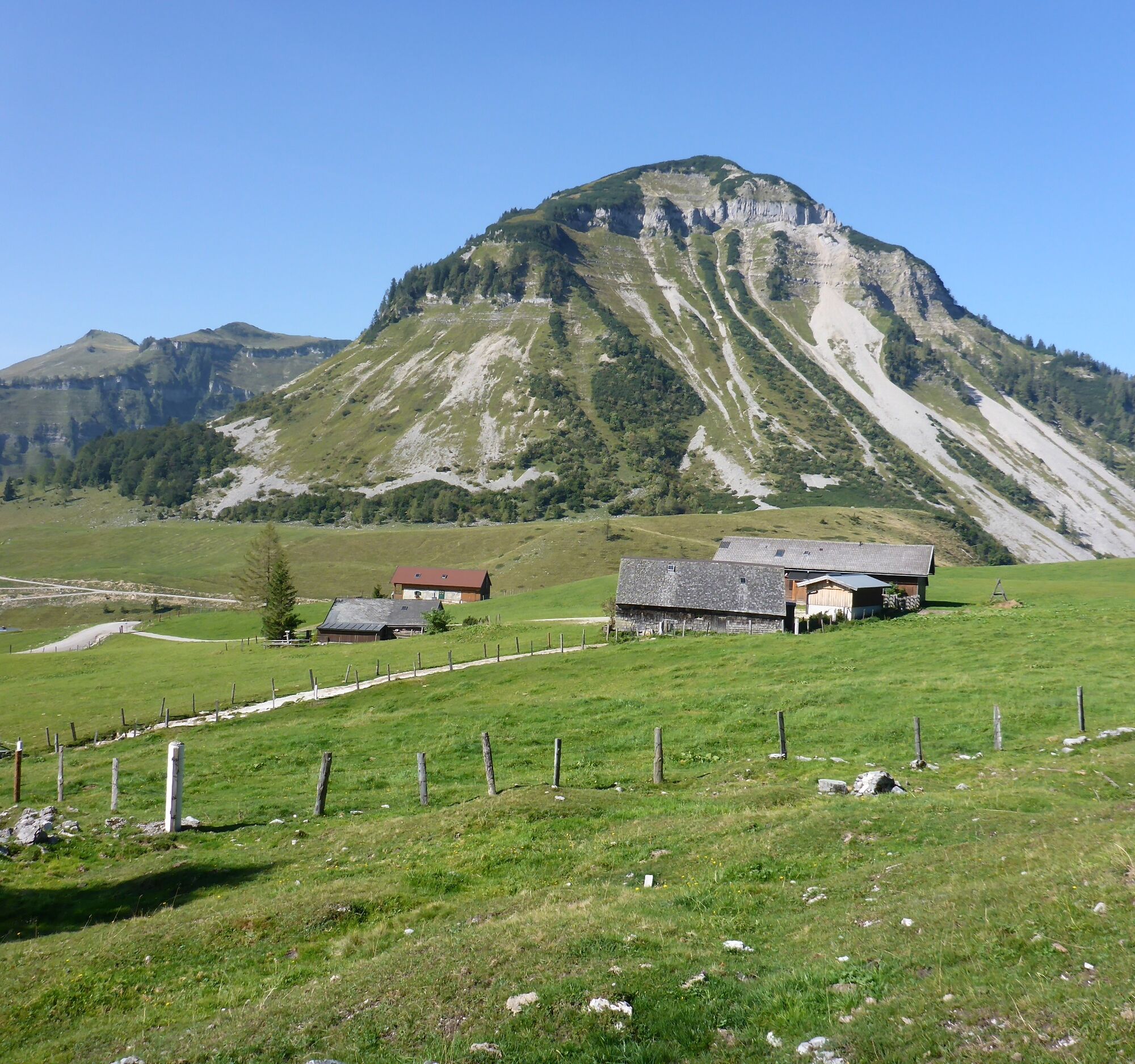
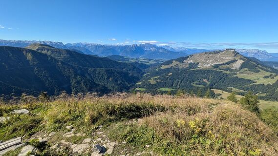
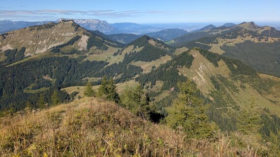
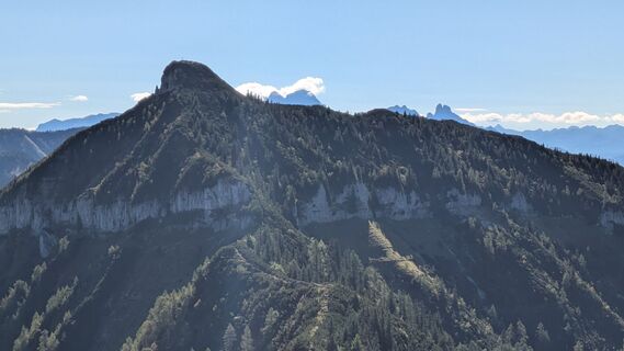
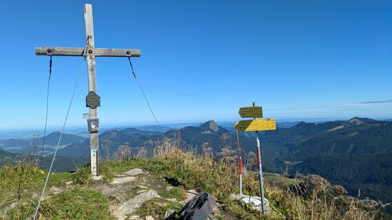
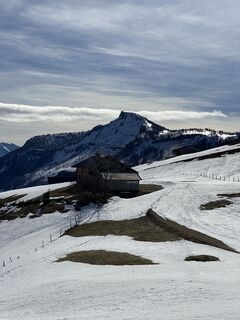
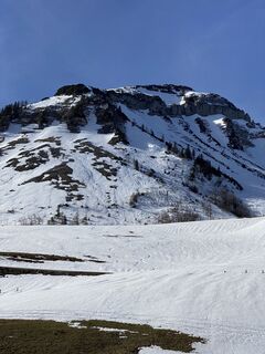
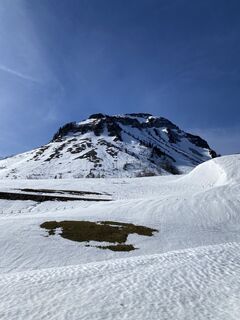
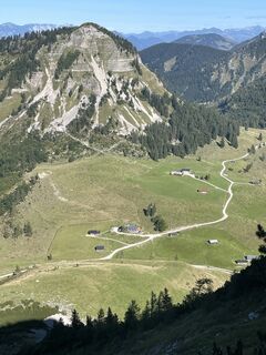
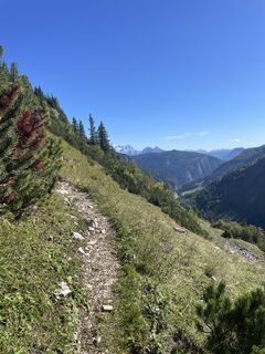
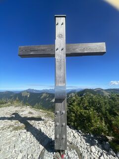
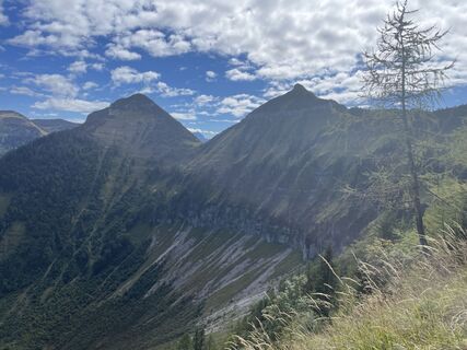
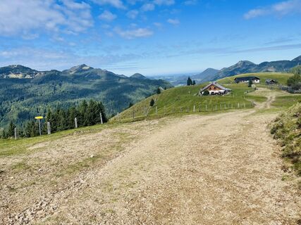
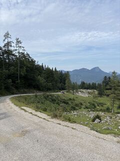
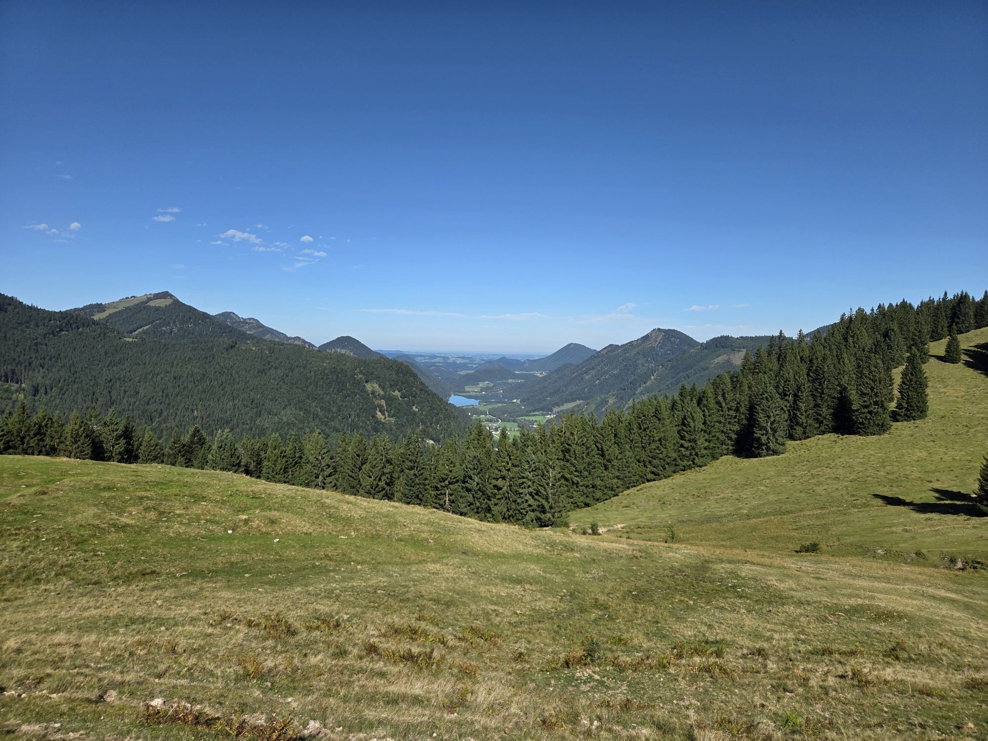
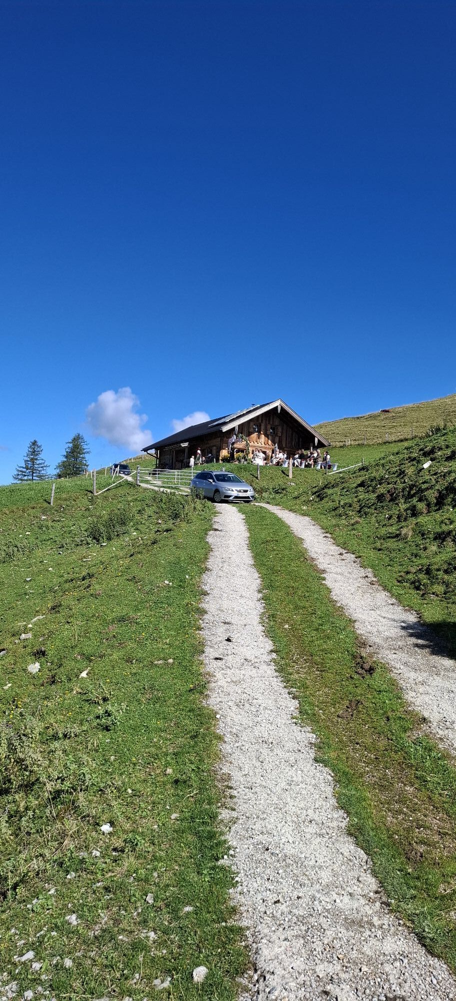
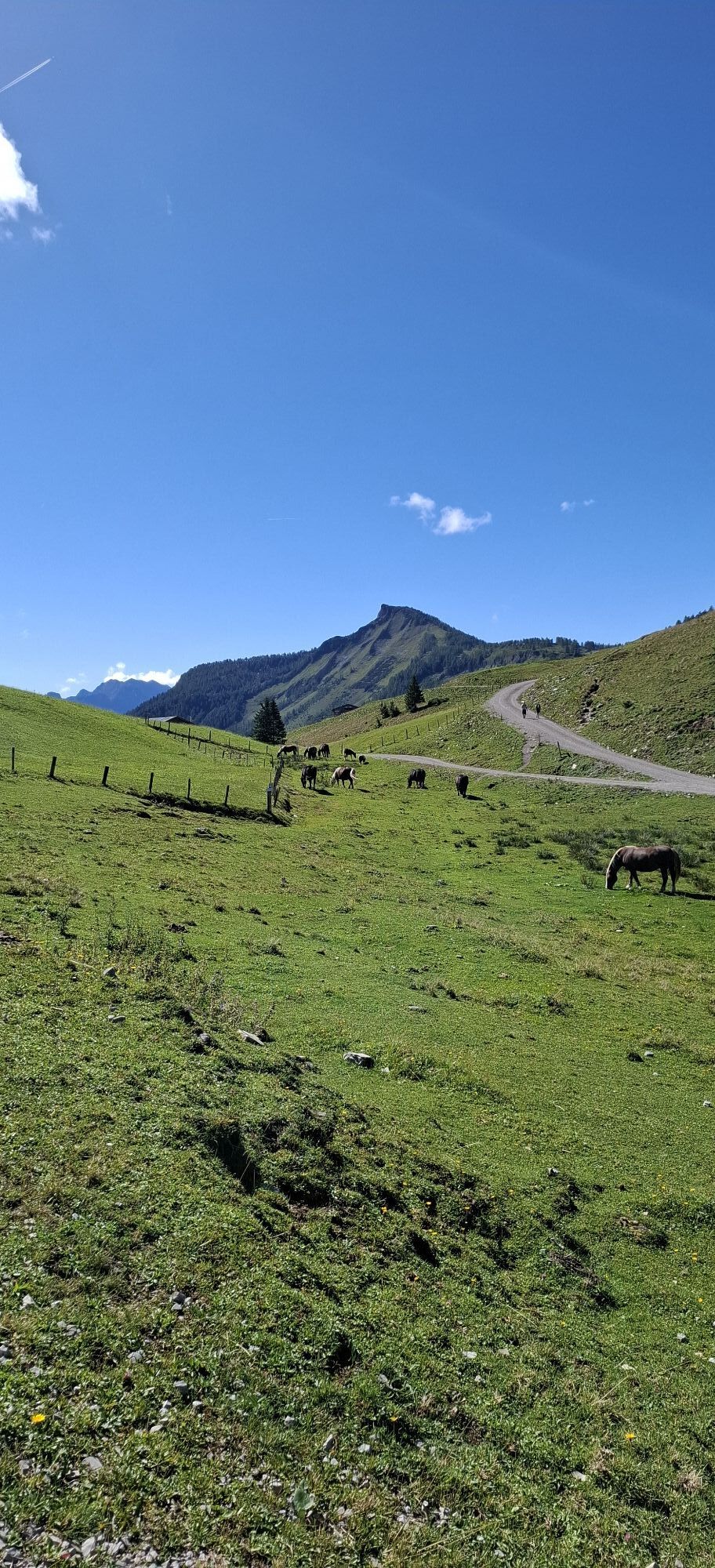
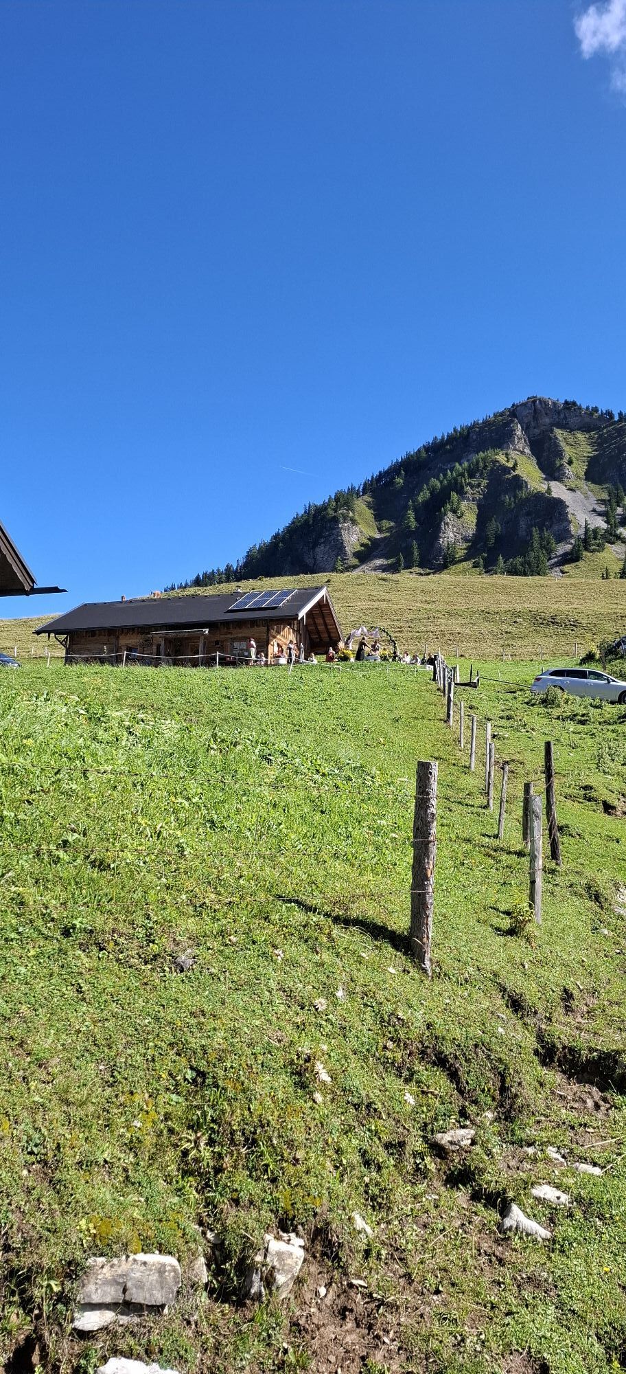
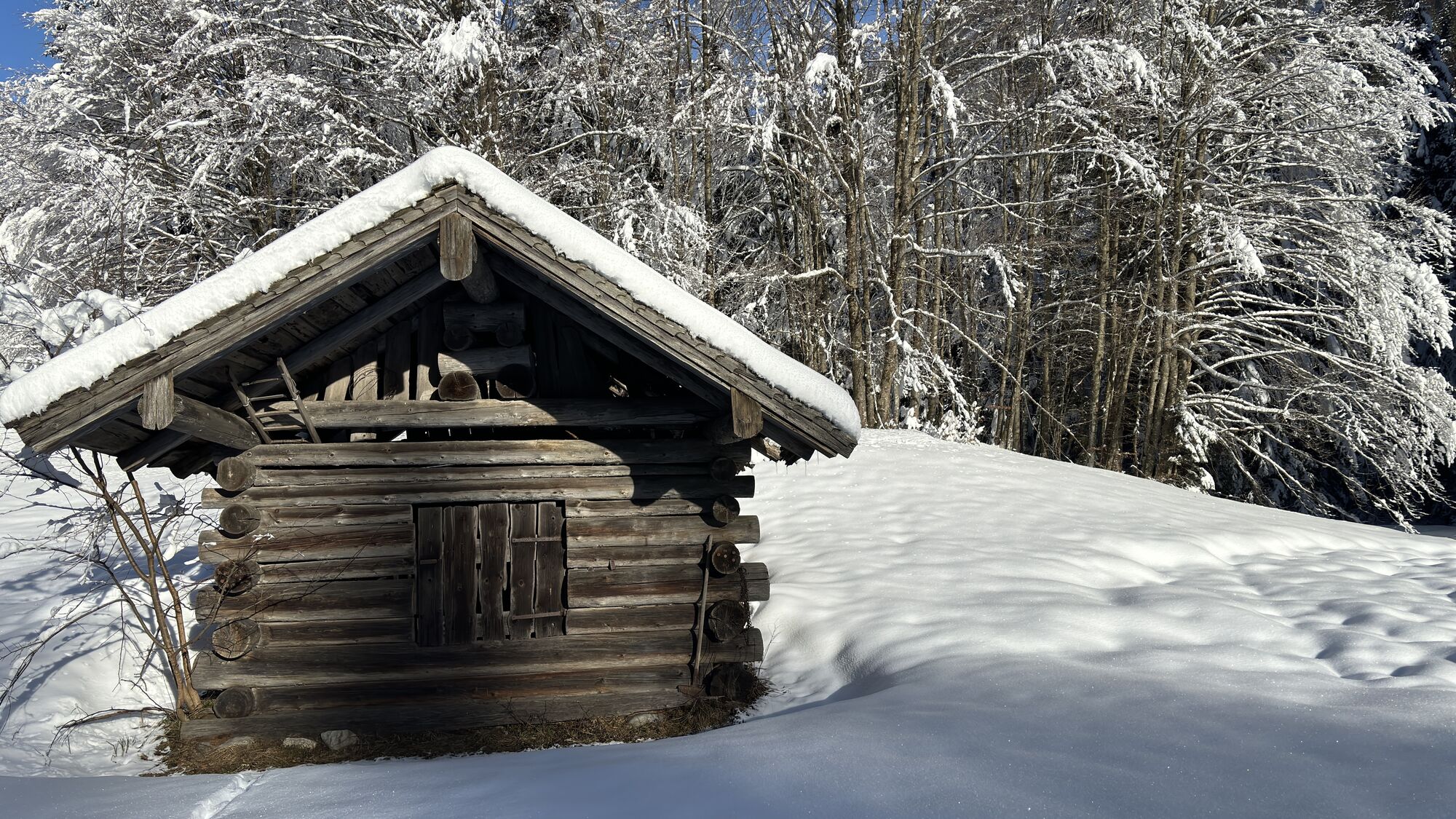
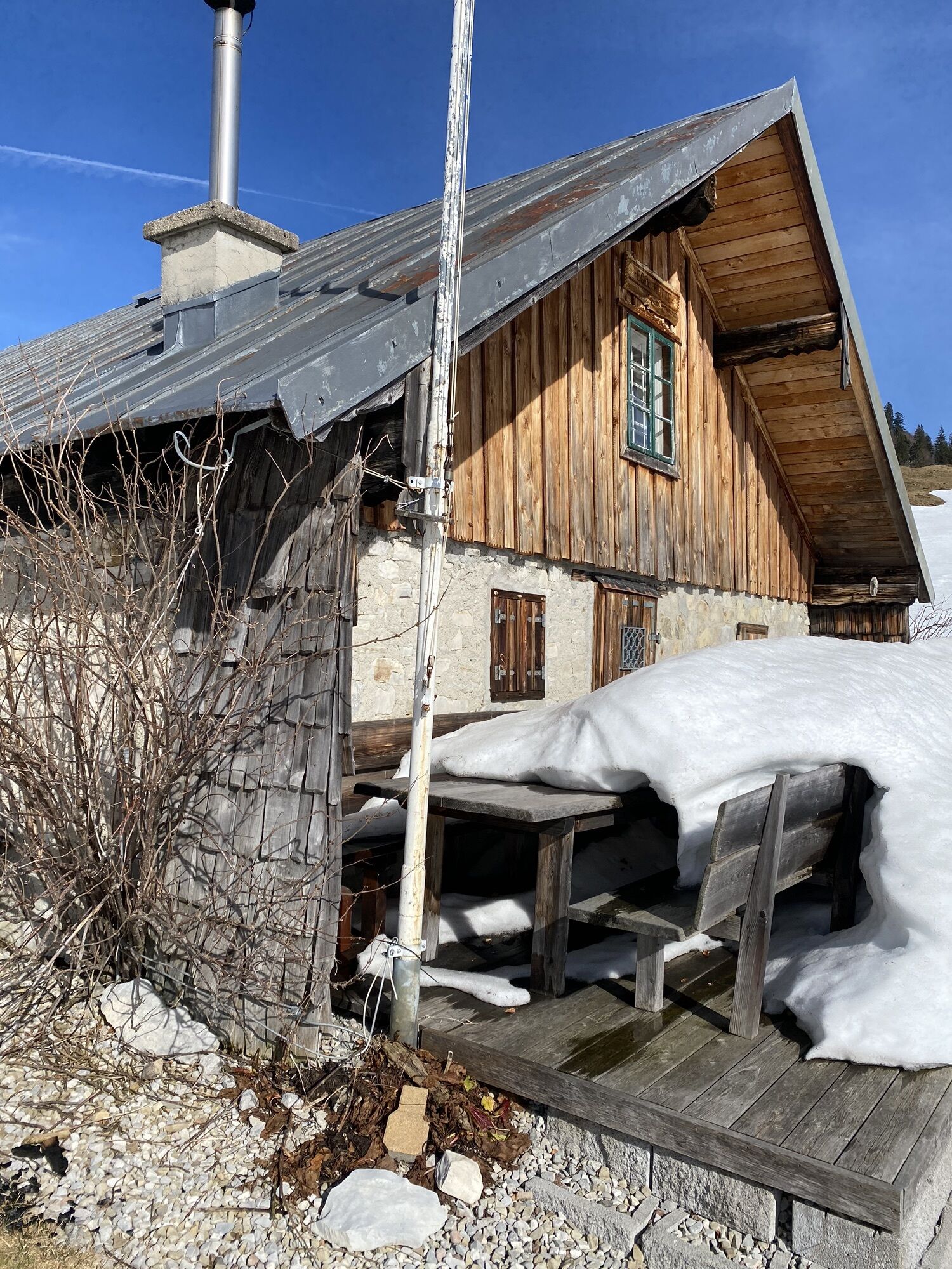
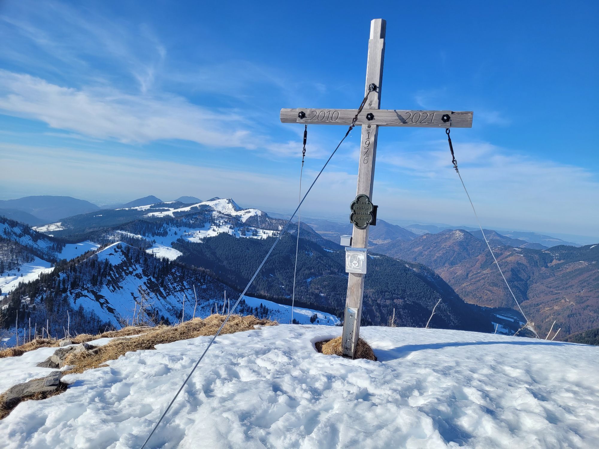
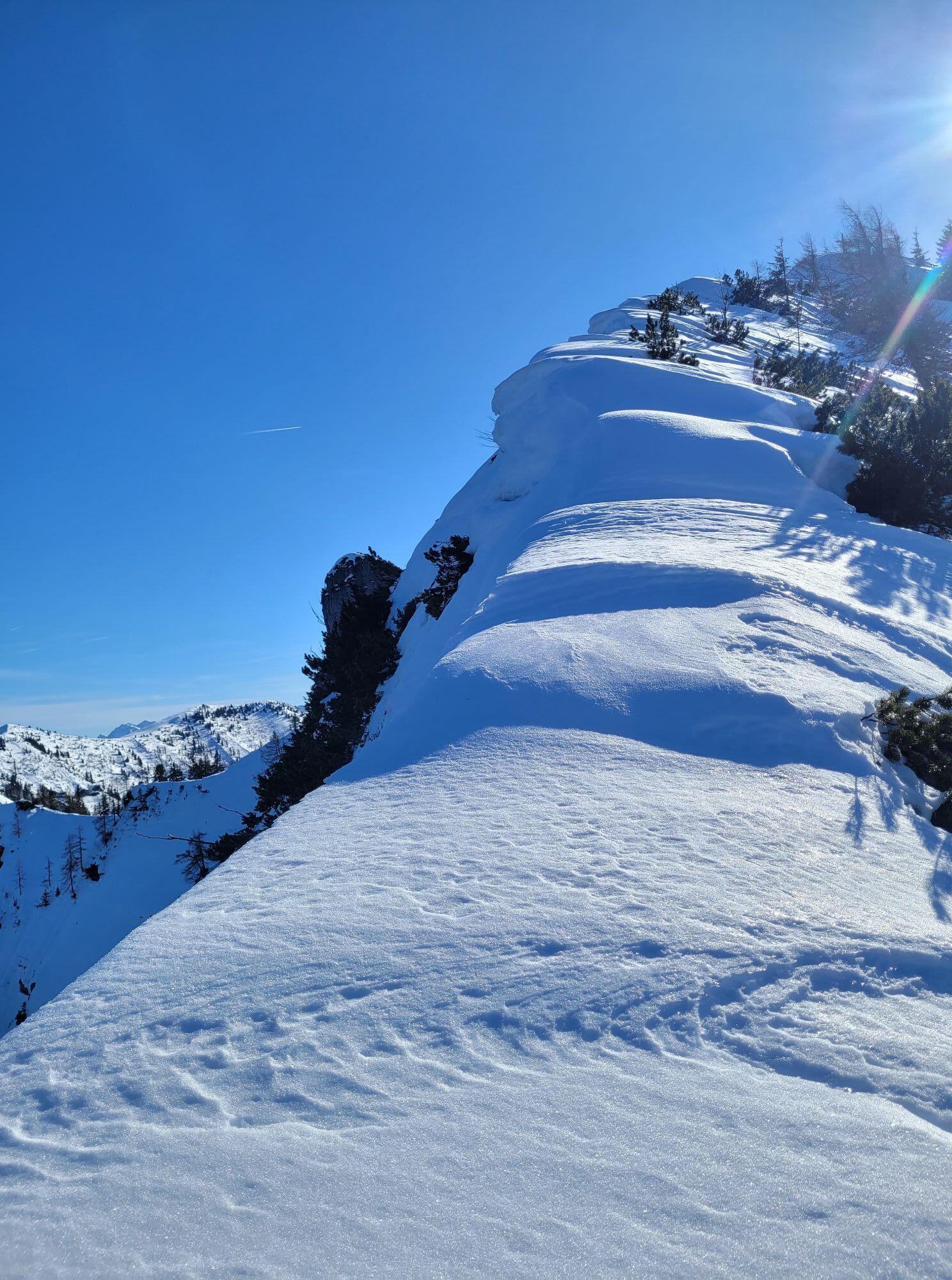
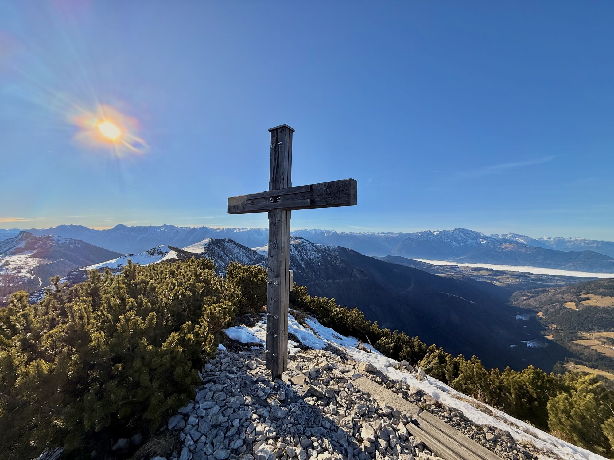
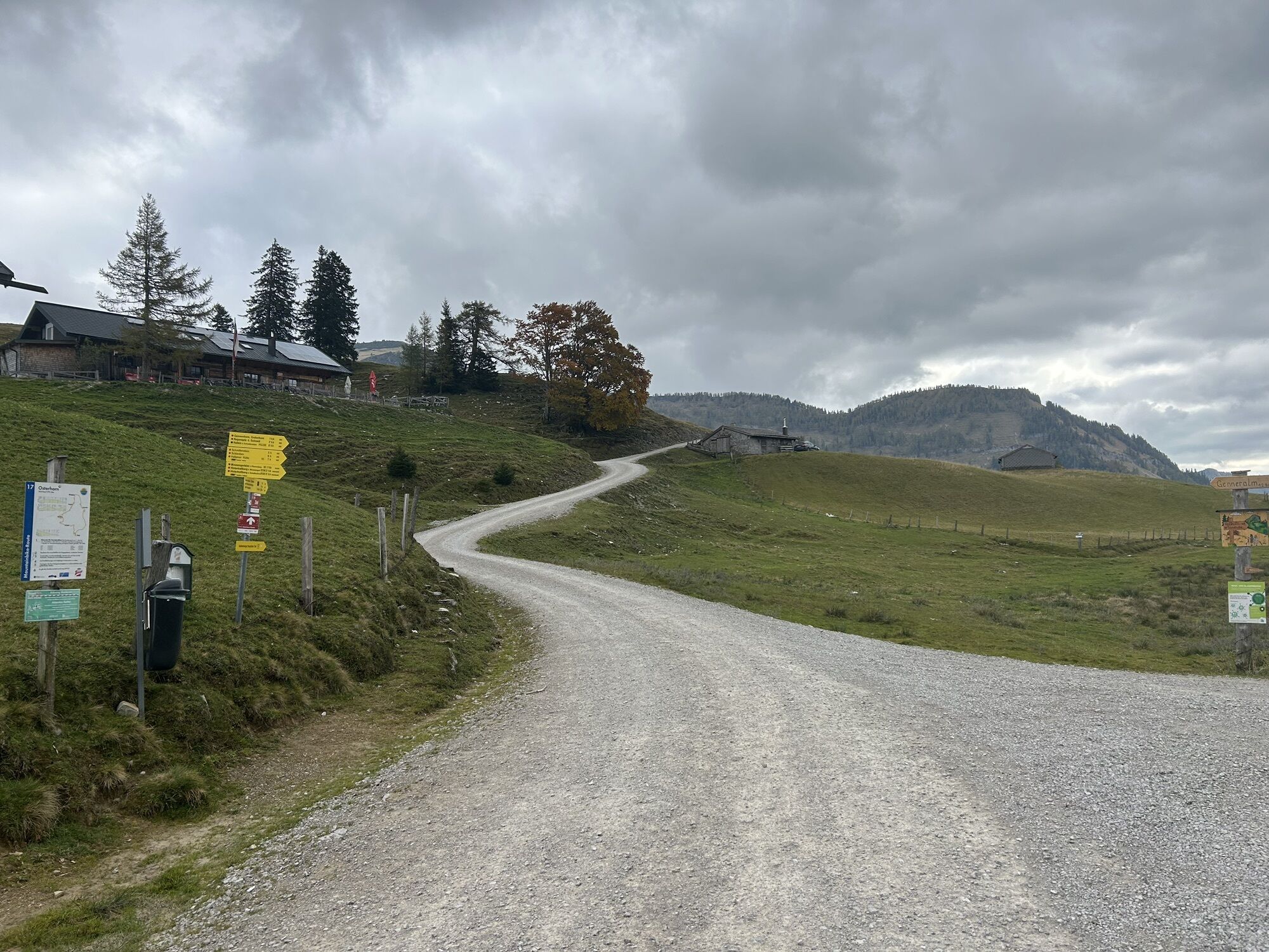
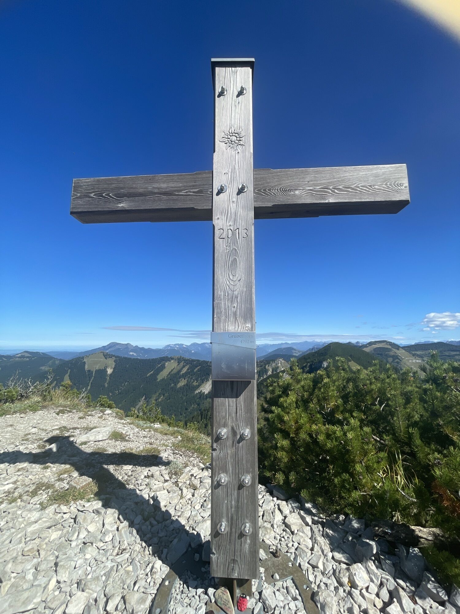
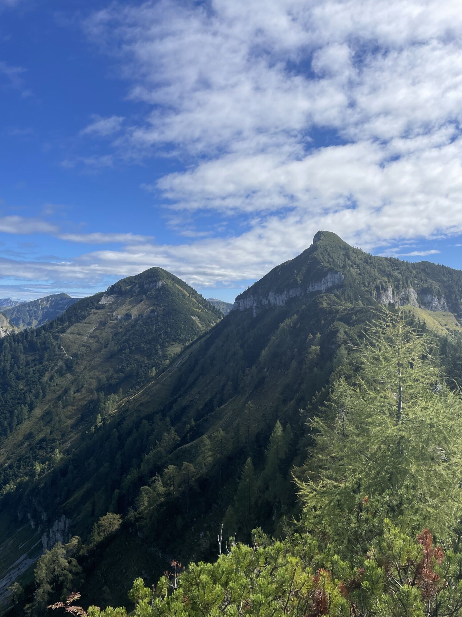
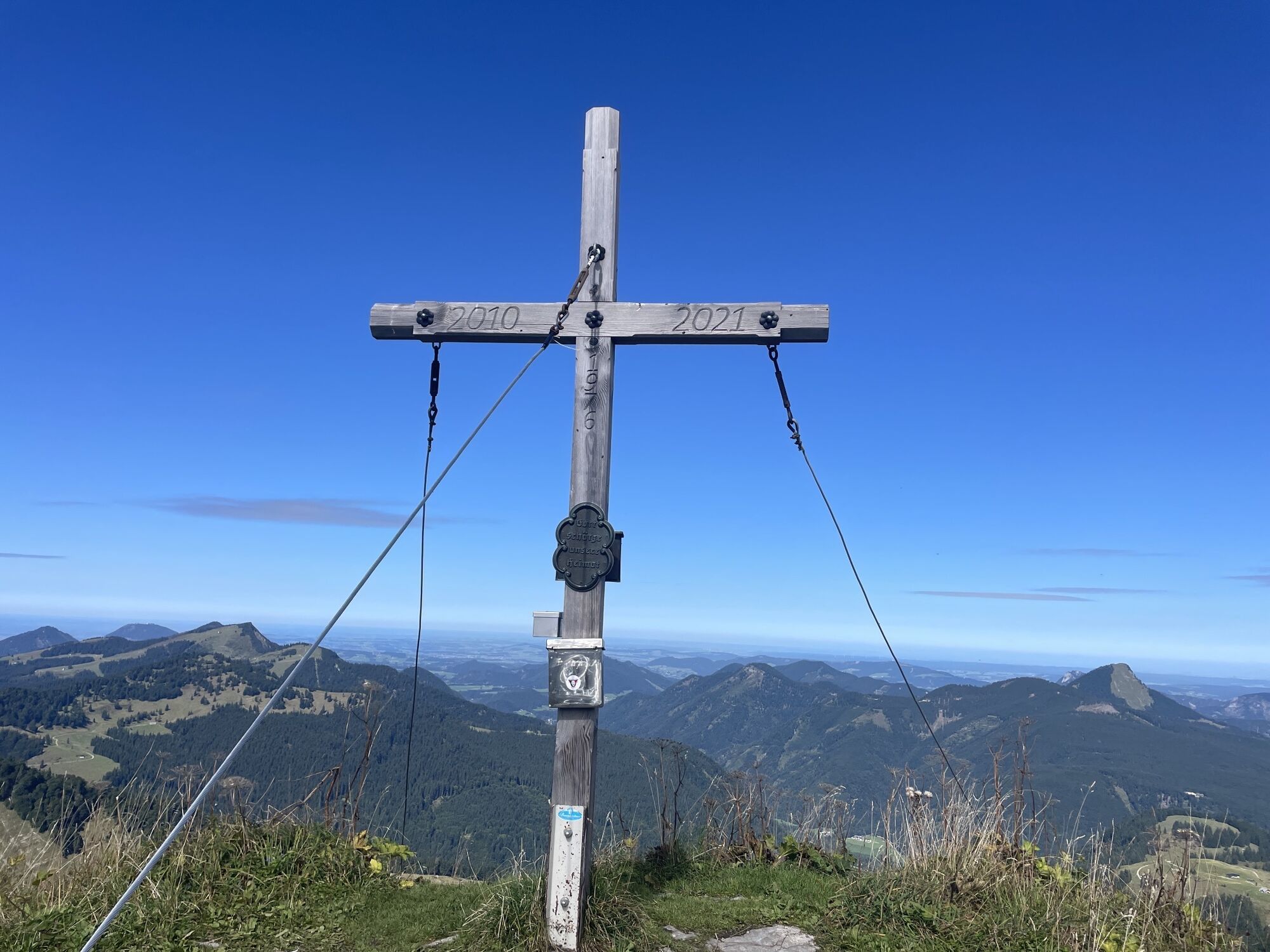
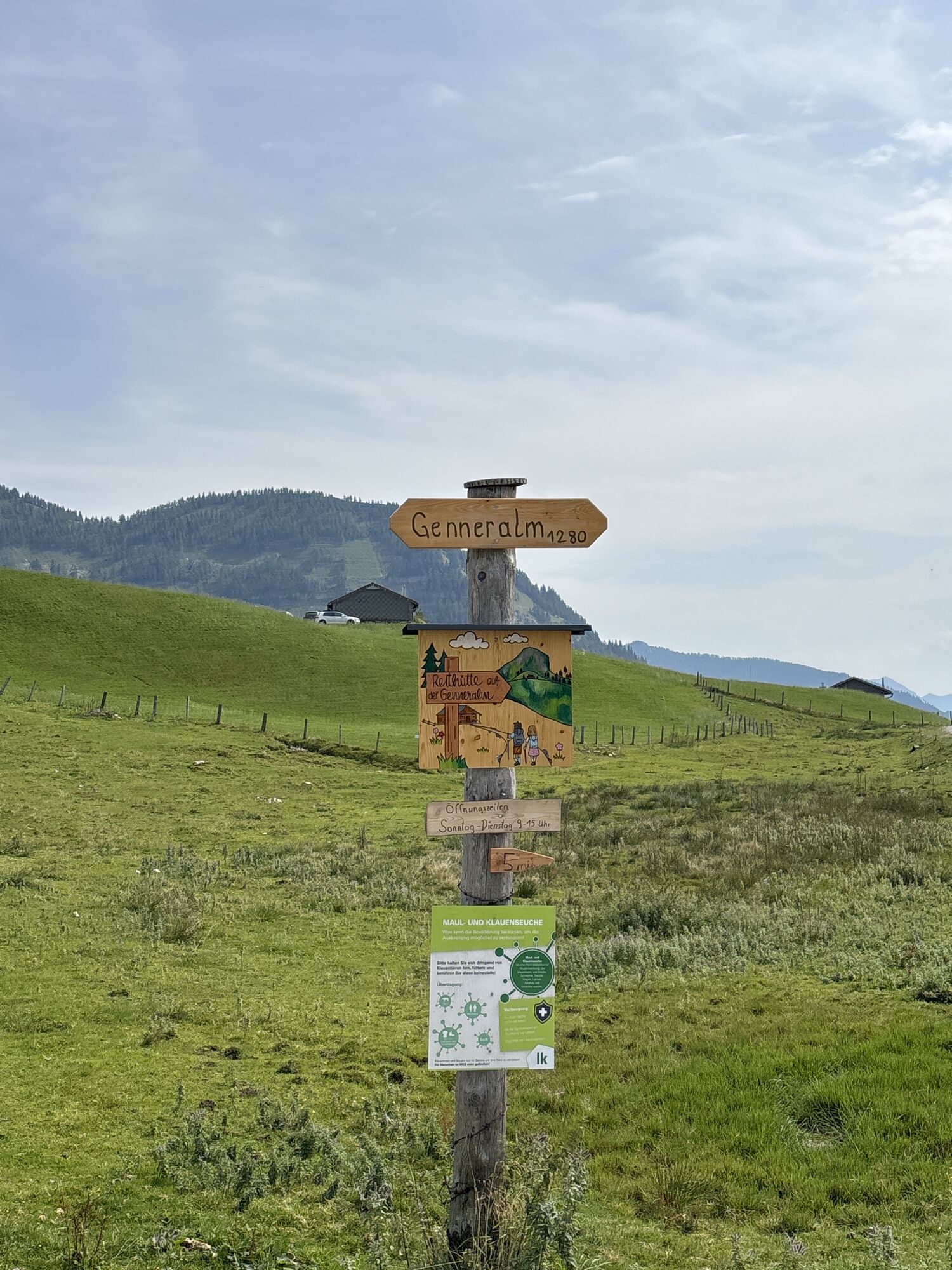
After starting at the Lämmerbach parking lot, the path leads us either via the forest road or the old alpine pasture trail to the Genneralm. On the saddle between Holzeck and Gennerhorn, the first managed alpine huts invite you to a short rest. We ascend the Gennerhorn, the highest peak of the route, via the marked path over the east slope. This path passes through steep and rocky terrain. Surefootedness and a head for heights are necessary here. After the final ascent to the summit, where hands can also be used for support due to the rocky terrain, the path leads through the dwarf pine corridor to the peak. After the first summit experience, we continue along the west ridge and over the steep and partly exposed next saddle. We stay on the trail to the Gruberhorn – the second peak of our tour. From here, the ridge continues northwest towards Regenspitz. This section requires good surefootedness and a head for heights. Between dwarf pines and rock steps, we reach the third peak. The descent takes place over the northeast ridge to the Feichtensteinalm. At Feichtensteinalm, the Stegleiten hut invites you to stop for refreshment. After the hut visit, the path leads 200 meters right over an alpine meadow and later through a cool forest to the Gruberalm. Three more managed alpine pastures offer the last opportunities to refresh yourself on the hike. The final section back to the parking lot can be done via the trail or the forest road.
Da
Sturdy footwear and hiking poles; otherwise no special equipment required.
Trail Conditions
Very challenging route for experienced hikers with surefootedness.
Leash requirement for dogs
A regulation is in effect in the entire municipality of Hintersee requiring dogs to be on a leash. This also applies to all hiking trails.
Access via A1 West Motorway - Thalgau exit
Follow the state road towards Hof bei Salzburg. At the first roundabout, take the second exit onto the Wolfgangsee federal road (B 158) and follow it to the second roundabout. Here take the first exit and follow the Hintersee state road to Lämmerbach.
By Bus
Hintersee is accessible from Salzburg by public lines of the Salzburg Transport Association.
Salzburg Transport Association, lines 150, 155
By Train
Information about train connections can be found at www.oebb.at or www.bahn.de
By Airplane
Salzburg Airport W.A. Mozart is located very close to the city of Salzburg. Bus lines 2 or 27 take you to the main train station, where you can transfer to bus No. 150.
Paid parking lot in Lämmerbach!
T4
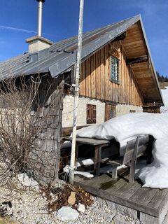
Attractions and refreshment options:

Priljubljeni izleti v okolici
-
4.7
Schwarzer Berg / Golling
srednjaPohodništvo 2.54 km -
4.8
Fuschl: Ruine Wartenfels - Schober - Frauenkopf
srednjaPohodništvo 7.62 km -
4.2
Fuschlseewanderung
svetlobaPohodništvo 11 km -
4.1
Pillstein Panorama Rundweg
svetlobaPohodništvo 3.40 km -
4.9
Pleasure hike over the Falkenstein
srednjaPohodništvo 9.81 km -
4.9
Schwarzeneckalm-Bleckwand
svetlobaPohodništvo 5.94 km -
4.8
Schober -Aussichtsplattform mit Seensicht
težkoPohodništvo 2.65 km -
4.8
Schlenken and Schmittenstein hike
težkoPohodništvo 10.9 km -
4.8
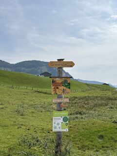
Gennerhorn über Lämmerbach
srednjaPohodništvo 10.2 km -
4.8
Schafberg ab Winkl nahe Sankt Gilgen, Österreich
srednjaTrailrunning 6.12 km

Pohodništvo in sledenje


Ne zamudite ponudb in navdiha za naslednje počitnice
Vaš e-poštni naslov je bil dodan na poštni seznam.